I am at Salt Lake City airport waiting for my late night flight back to Seattle. I saw this eye-catching ‘Union Station’ neon sign close to our hotel in Ogden on Tuesday night. The station is now a museum with restaurants. I had time to stop by tonight on the way to the airport to take a few pictures, and here they are.
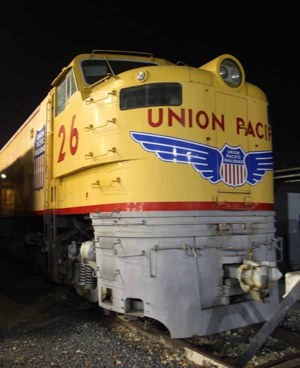
Originally constructed in 1889 as part of a railroad depot, this building burnt down in 1924. This Union Station building was completed in its place – the architecture is Spanish Colonial Revival style.On the left is the Union Pacific Steam Locomotive #833 (The ‘Speedy Locomotive with Elephant Ears’), the Union Pacific DDA40X locomotive #6916 ‘The Centennial Locomotive’ .. and I lost the information for the one on the right.A side view of the locomotive with the ‘elephant ears’. Built in 1939, it was retired in 1957. Its top speed was 110 mph (177 kph). Steam-powered with a boiler pressure of 300 psi, it put out an estimated horsepower of 4100.This is a Union Pacific Super Turbine Locomotive (#26). It is among the largest locomotives ever built. It’s strong enough to pull 735 fully loaded freight cars. That’s a train seven miles long! This machine was built in 1961 and had a top speed of 65 mph. There is only one more like it on display, Illinois Railway Museum in Union, Illinois.
Ogden lies at the foot of the Wasatch Mountains, about 10 miles east of the Great Salt Lake and 40 miles north of Salt Lake City. I still have to go and look for the newly renovated Ogden Utah Temple of the Latter Day Saints and of course, take a closer look at the Great Lake.
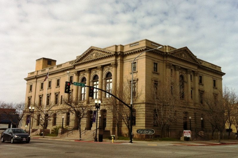
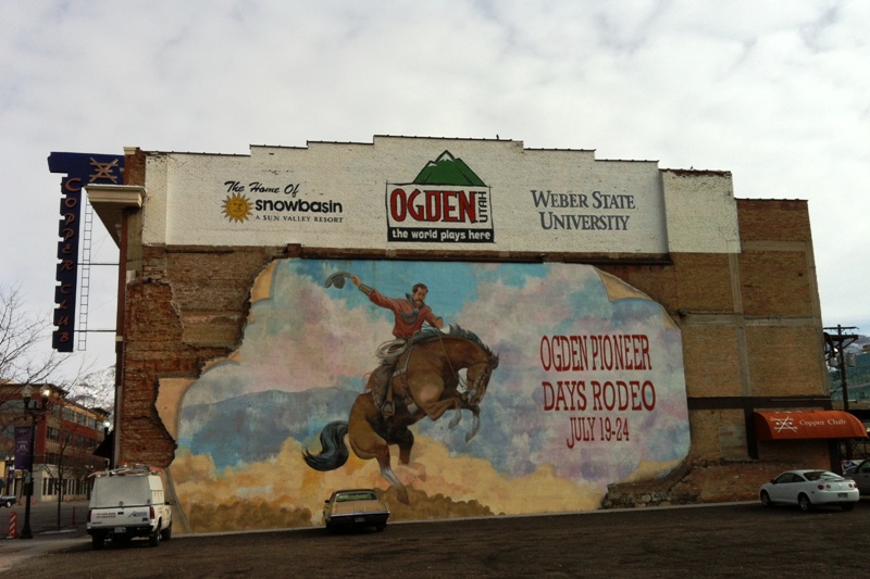
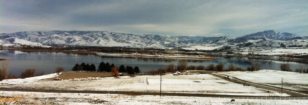
This is Ogden’s Old Post Office building, built in 1909 and made from sandstone.A rodeo cowboy on a mural kitty corner across from the Post Office. The Snowbasin ski resort was actually the site of the 2002 Winter Olympics in the Salt Lake City area.This is actually a picture from Monday, of a reservoir in the mountains close to Ogden. The town is called Eden.
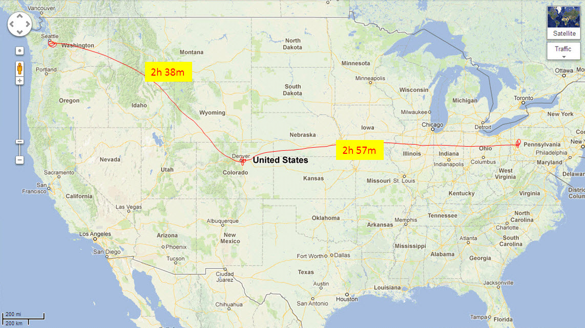
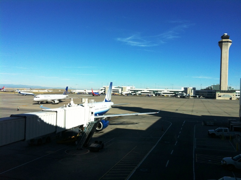
Don’t forget to vote! says the Google home page. (Is that possible .. to ‘forget’?).Denver is just about in the middle between Seattle and Pittsburgh. Colorado is a swing state, as is Pennsylvania — so I hope the voters there do ‘the right thing’ when they vote today!Blue skies and just a wisp of cloud at Denver International Airport today.
I am in Pittsburgh, with a stop in Denver this time. The flight for Denver left Seattle at 5.20am this morning .. uff. The TSA security check point opened at 4 am, but the special short line for Mr Very Important Frequent Flier (me) was not open that early, so I had to wait in the ‘long’ security line with everyone else.
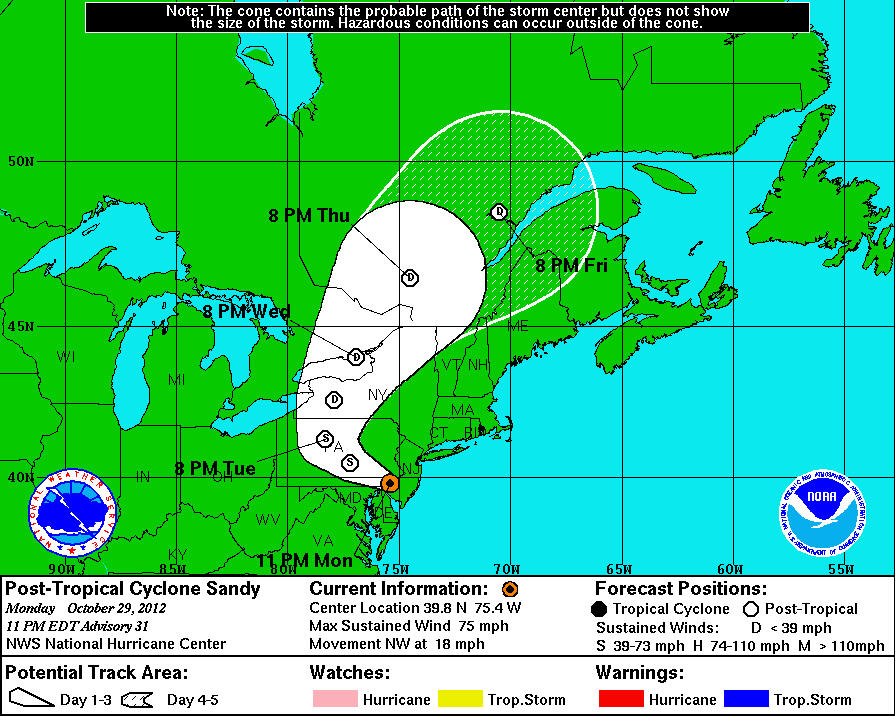
The hurricane is now a ‘post-tropical cyclone’ and the worst seems to be over now that it has made landfall – but there is still a lot of wind and rain associated with the massive storm sytem. United Airlines have not canceled my flight out to Chicago (and on to Pittsburgh from there) so I will try to get to Pittsburgh tomorrow. Pittsburgh is right outside the white cone in the rectangle that where it says 8 PM Tue! And no, I’m not stubborn : I have client meetings to go to that have not been canceled.
It takes all Sunday to get from Seattle to Pittsburgh : there are no direct flights! (Boo! to the airlines). So I got up early this morning for an 8.15 am flight and have made it into Chicago’s O’Hare airport. It’s another hour or so before I will go on to Pittsburgh and I will arrive there at 7.30pm. Pittsburgh is on East coast time, so the time zone change moves the clock forward by three hours.
O’Hare airport is northwest of the city of Chicago.
This is the underground pedestrian tunnel connecting my arrival concourse (C) with concourse B for my flight to Pittsburgh.And here is the industrial-style skylights of terminal B. Have you spotted the dinosaur, or its skeleton, then? It’s a Brachiosaurus altithorax. This one lived 150 million years ago in what is today Utah and Colorado.
The weekend edition of the Wall Street Journal reports that Zimbabwe’s economy is doing better, four years after they started pegging the Zim dollar to the US dollar, and with a coalition government in place. ‘Zimbabwean safari guides are known as the best on the continent’ says the article that covers safaris in Hwange National Park. Visitors get up close to elephants (presumably NOT to lions and leopards) on foot. As for myself : I have vivid memories of the African safari experience from Botswana. I will never forget the one time when I went for a short walk into the bush on my own (with no weapon). As I approached a clump of bushes, the birds went quiet, and a sixth sense made me feel something was about to happen. I felt the hairs on my neck stand up straight .. the next moment the bush exploded and a big buck crashed out of it, scaring the living. African. daylights. out of me. Man! at the same time, what a relief it was!
Here’s the article, with a lioness facing an elephant. On her own she is no match for the elephant. But if there are four or five of them ..The Hwange National Park is up by Victoria falls and the north eastern part of Botswana. My family and I went to an area called the Northern Tuli Game Reserve a dozen times when I grew up in South Africa.Here is a picture from Botswana from, oh, 1988 or 1989. That’s my dad on the left, and me on the right (and two of my brothers and one’s girl friend). The guys in front know every big tree and every bend in the dirt roads in the area.
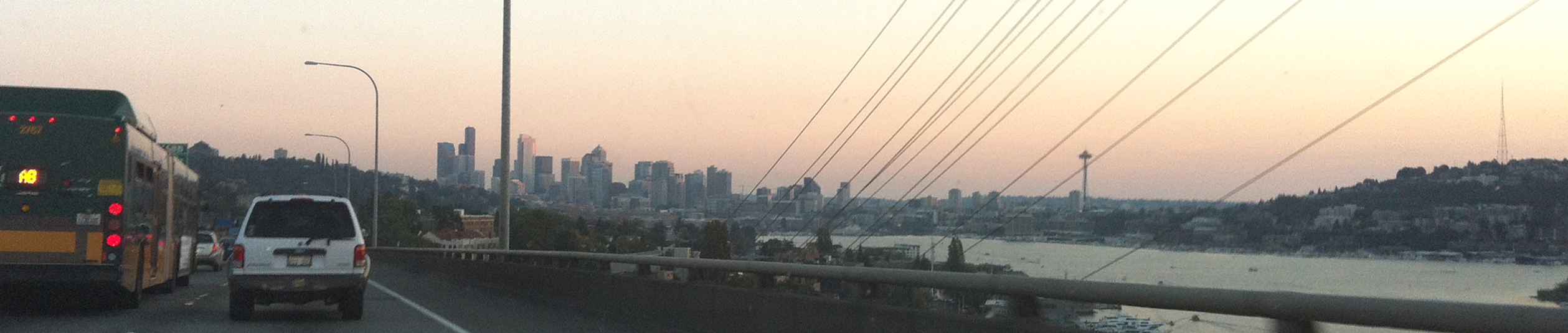
Traffic is stopped on Interstate Highway I-5 south as I enter Seattle around 7.15 pm. That is lake Union on the left with the Space Needle above it.
I thought I left Seattle with plenty of time at 9.30 am to make my 1.30 pm meeting, but I made it with almost no time to spare. The offices of our client’s company was very hard to find. And since I had to be back in Seattle on Thursday morning, I did not stay in Vancouver afterwards, but just made an escape from the southbound Vancouver traffic to get back to the border. (Aw. I would have loved to walked around the city and take some Vancouver pictures, but it will have to wait until my next visit).
I am driving up to Vancouver on Wednesday morning for work. The official Google estimate of the drive time is 2h 42m but we all know that life is not that predictable. There is traffic, and there is a border crossing between A and B on the map! I could have flown, it’s a 50 min flight, and I could have taken the Amtrak train, but in the end it all comes out in the wash and it’s going to take 3 or 4 hrs to get there. And the car will let me stop on the way and drive around in the city a little bit (Canada drives on the right side of the road the way we do in the States).
The proposed route from Seattle to Vancouver from Google Maps shows a drive time of 2 hours 42 mins.Here is a world map from Wikipedia that shows countries in that drive on the RIGHT in RED, and those that drive on the LEFT in BLUE.
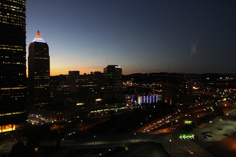
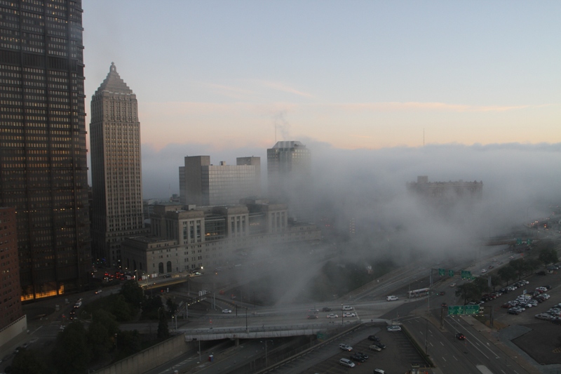
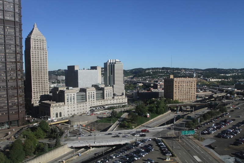
It was a sombre day in the USA with the 11th anniversary of 9/11. Here are three pictures of the same downtown Pittsburgh scene from my hotel room window Monday night and Tuesday. The very tall building on the left that runs out of the picture is the headquarters of US Steel. It has 64 floors and was completed in 1970. Its outside is steel and it is called – quick, want to guess? – the Steel Building. The Gulf Tower next to it with the colorfully lit top at night has 44 floors and was completed in 1930.
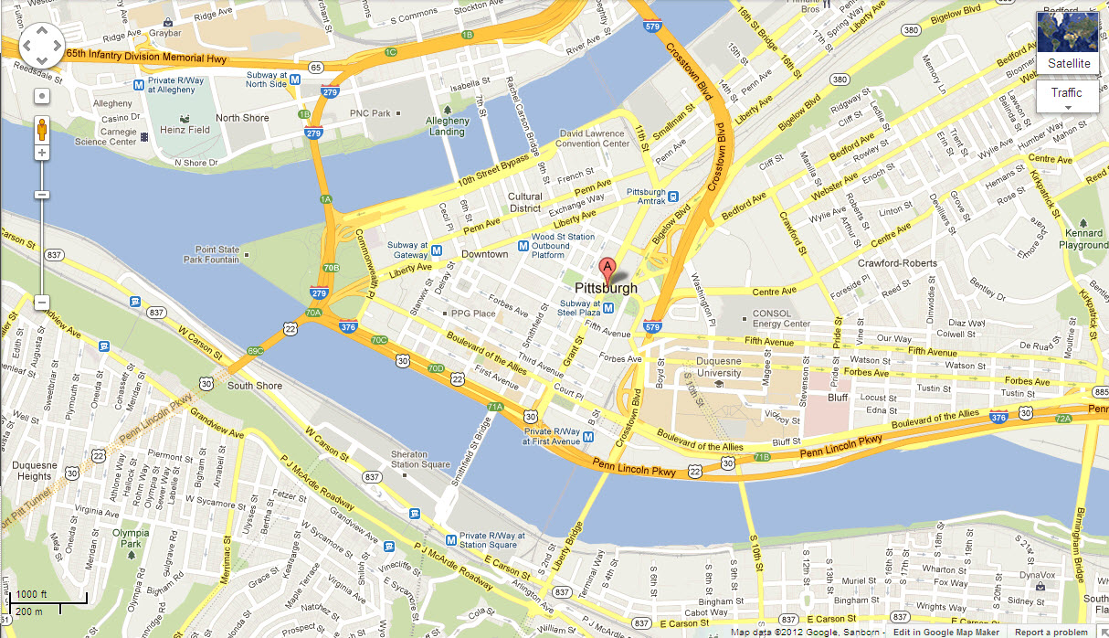
Downtown Pittsburgh is at the confluence of the Allegheny and Monongahela rivers, which form the Ohio River. The city was founded in 1758 and named after British statesman William Pitt. Pittsburgh no longer has its famous steel mills within the city limits but is now instead home to an economy based on healthcare, education, technology and financial services. There are many theaters in the cultural district downtown, and I ran into stunning architecture and building adornments there on Sunday as well.
Downtown Pittsburgh is at the confluence of the Allegheny and Monongahela rivers, which form the Ohio River.
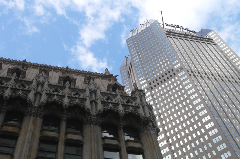
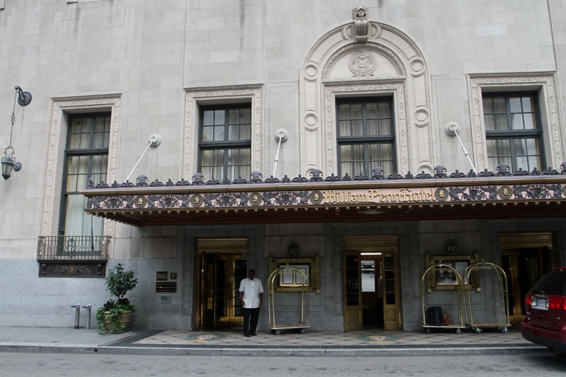
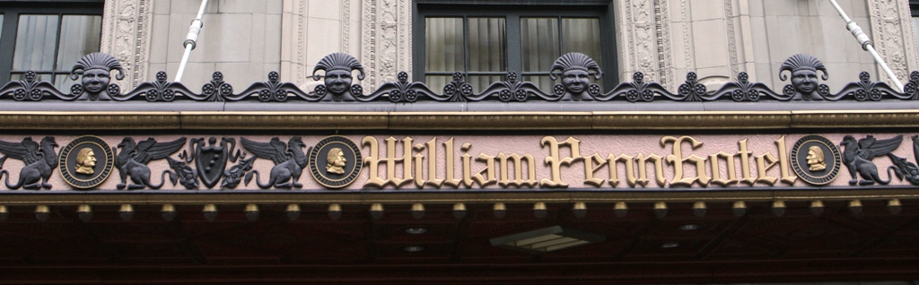
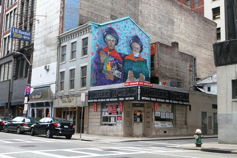
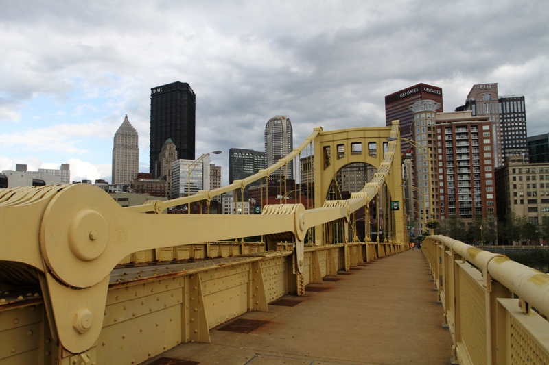
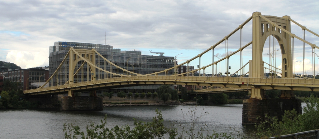
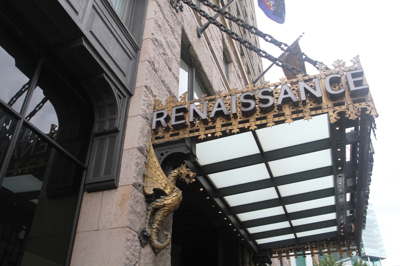
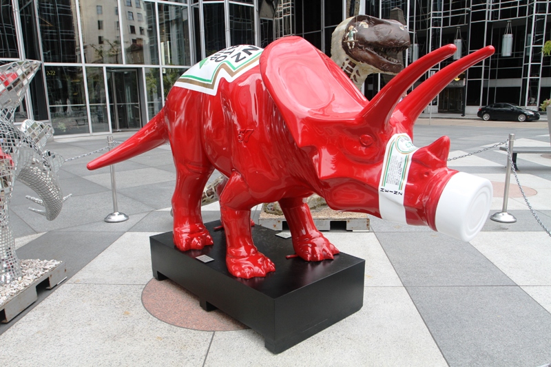
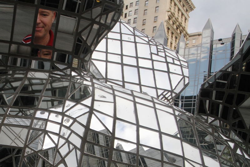
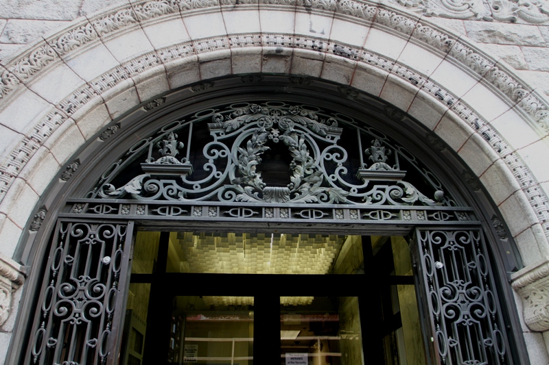
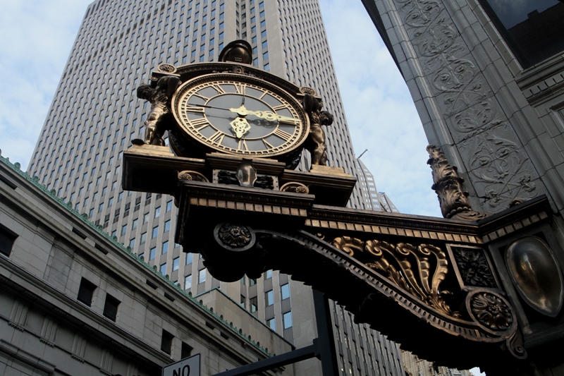
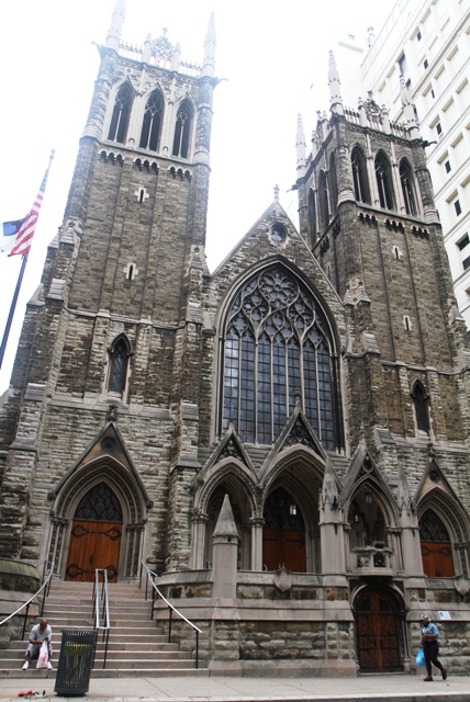
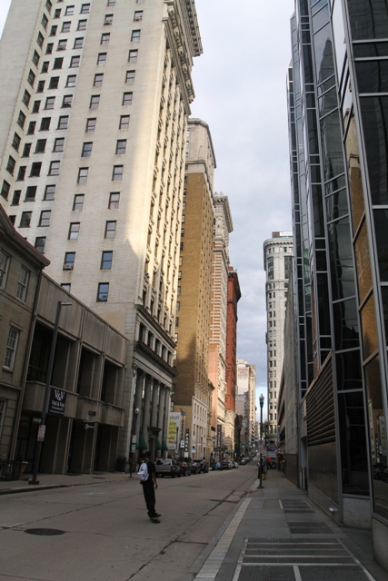
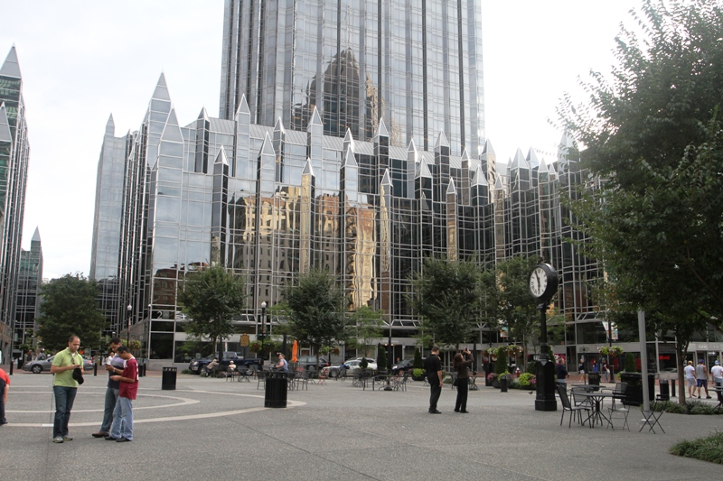
I don’t have the names of these buildings! I just loved the contrast of the old architecture (not sure what style this is .. Baroque?) brushing up against the sleek modern stone and steel building.I will go and stay in the William Penn hotel just to be able to admire the canopy while I wait for my taxi to take me to the airport. (I stayed at the Marriott a few blocks away).Check out the detail of the metal work on the canopy. Out of this world.Colorful mural painting on an exposed brick wall.Here I am on the Andy Warhol Bridge, also known as the Seventh Street Bridge looking at the city’s skyline. The bridge spans the Allegheny River. I am surrounded by the bridge’s custard color!And this is the Rachel Carson Bridge, also known as the Ninth Street Bridge.Canopy of the Renaissance Center in the cultural district.Here’s a Heinz ketchup triceratops in the square at PNC World Headquarters : a tribute to Heinz Company that has had its headquarters in Pittsburgh for more than a century now.There was also a mosaic mirror tile Stegosaurus.Beautiful ironwork detail on a gate in a building downtown.This ornate clock dates from 1898 and is on the corner of the Macy’s department store, declared a national landmark.The First Presbyterian Church in downtown Pittsburgh. Reminds one a little of Notre Dame, does it not?A skateboarder came riding into my picture of the old downtown and its tall buildings. This is Fifth Ave.Here’s where the triceratops and stegosaurus are. No, it’s not a Mormon temple! It’s the plaza inside the PNC Bank’s world headquarter buildings.
I have to be in Pittsburgh on Tuesday, and it’s too far to make it to Seattle and back. So I took a 1hr30 min flight out to Pittsburgh on a United Express jet (about 30 seats).
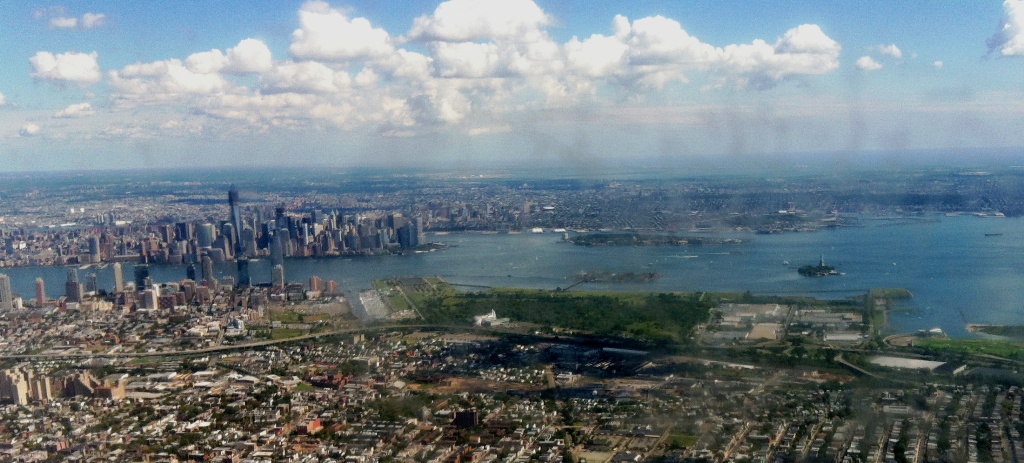
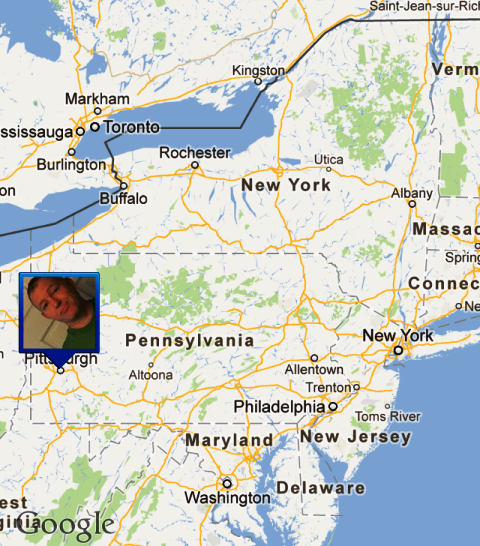
Here is a picture I snapped shortly after we took off from Newark International Airport. Check out the Freedom Tower, and lower Manhattan. The big island is Governor’s Island, with Ellis Island in front of it (below it), and then on the far right is Liberty Island with the Statue of Liberty (just a green speck).Here is where Pittsburgh is on the map — still in the Eastern Time Zone, and not too far from the Great Lakes and Canada.
I tried one more time to get into the 9/11 Memorial, but the only slots available were late Saturday afternoon, and I didn’t make it back there to go inside. (At the base of the tower a group of 9/11 conspiracy theory believers were making their case. Man! Give it up). Late morning in Manhattan there were gusty winds, with showers in the afternoon. I learned on the news two tornadoes touched down at the edge of New York City! — but no serious injuries were reported.
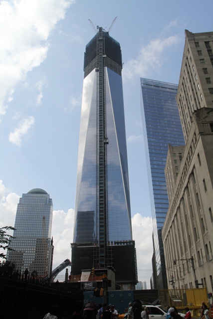
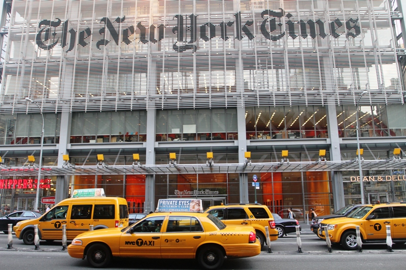
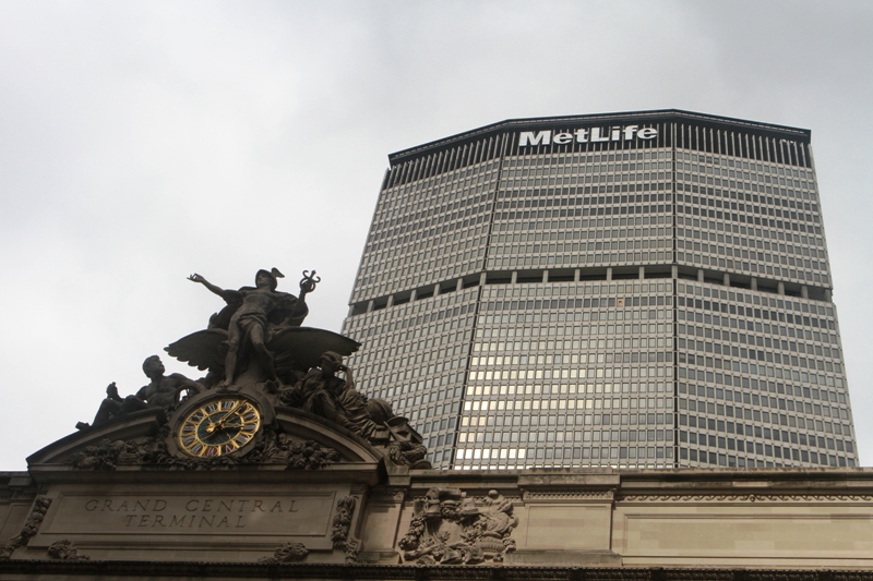
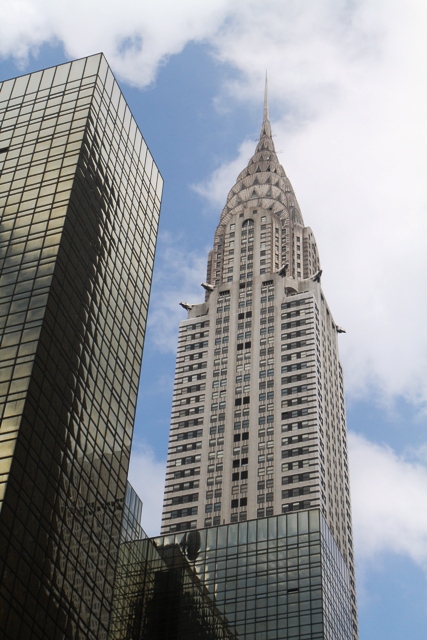
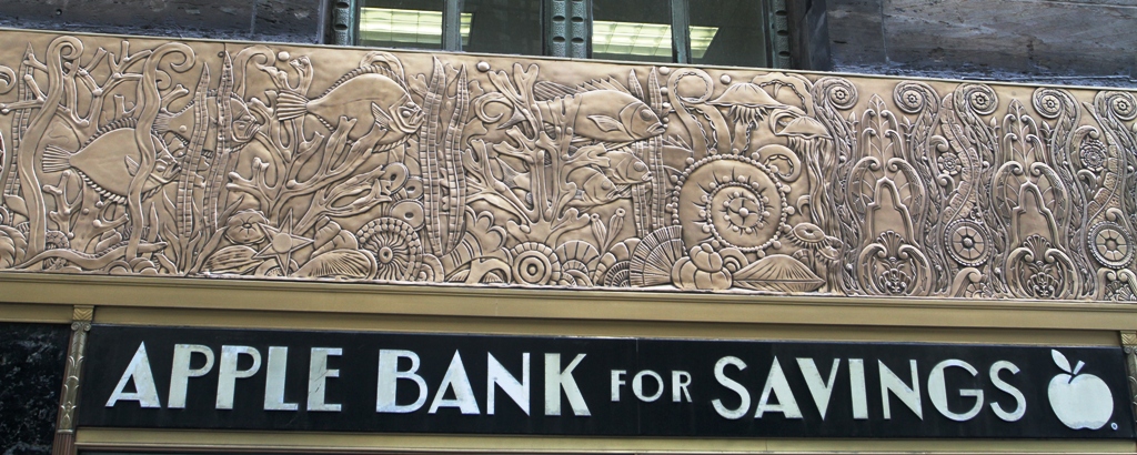
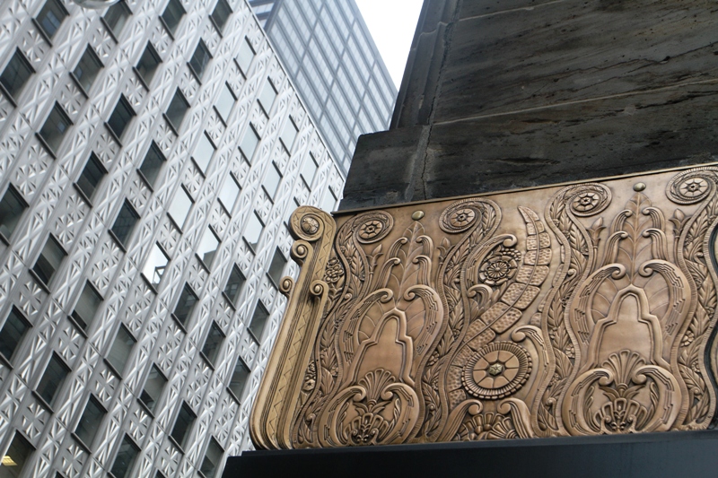
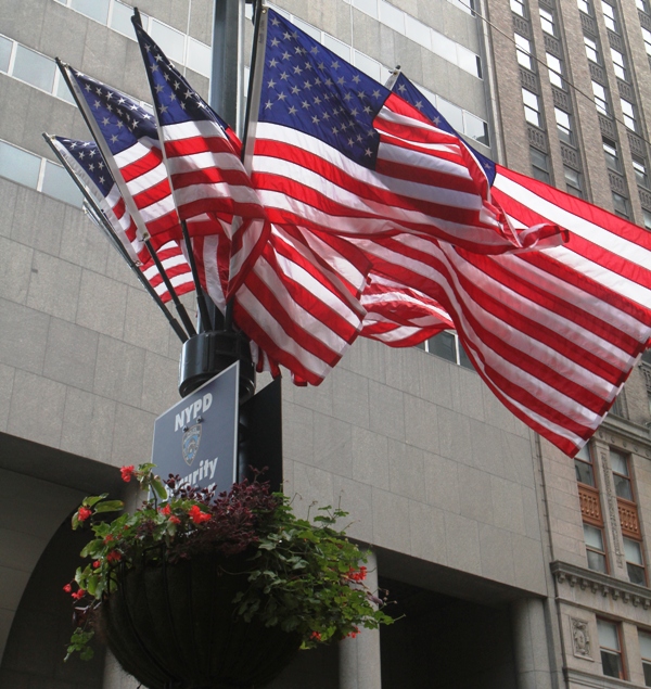
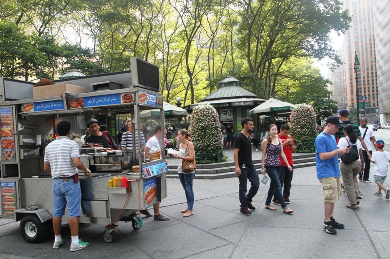
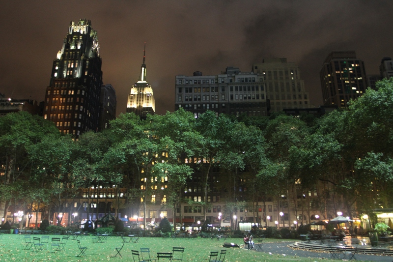
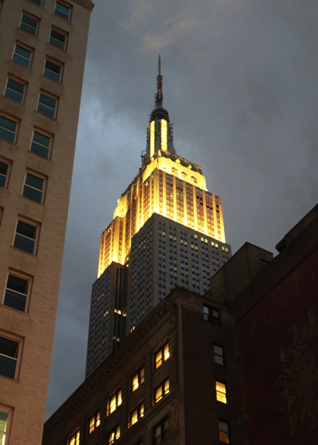
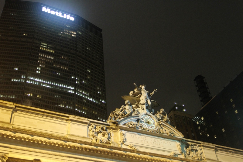
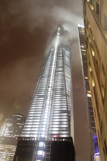
Here’s a day-time view of the Freedom Tower (One World Trade Center), now at 105 stories, already making it the tallest building in Manhattan. The steel frame has topped out; the spire of glass and antenna still has to follow.The main entrance of the New York Times building on 8th Avenue (52 floors). It’s fairly new : completed in 2007.I had to go check out Grand Central Station’s main entrance (Park Ave and 42nd St). It was one of the pictures of New York City in my ViewMaster (disk with slide show pictures) many, many years ago !The Chrysler Building is not far away, on Lexington Ave and 42nd St. It is an Art Deco style skyscraper, and is surrounded by several other very, very fine examples of art deco.Art Deco on Lexington Ave – and no, this is not the iPhone Apple, it’s a different Apple.The corner of the same building (I couldn’t get enough of the Art Deco). I am not sure if the silver metal cladding on the building on the left is old or new.The Stars and the Stripes on a lamp post on 42 nd Street.This is a food vendor on a street corner by Bryant Park.This is about 8 pm on Saturday night after a downpour, looking south over the trees in Bryant Park at 42nd Ave. Yes, that is the Empire State building (on 34th Ave).A closer look at the Empire State building’s top, this is from 36th st and 6th Ave.This is close to Herald’s Square where Macy’s is, a designer studio from what I can tell. I am having trouble keeping the raindrops off my camera lens.A night time shot of Grand Central Station’s facade. Shortly after this it started raining hard again, and I went back to the hotel.
It was a long day at the office and we went out for dinner, so I did not have too much time for gallivanting around New York City and gawking at the buildings and the people !
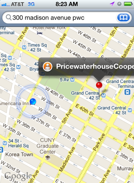
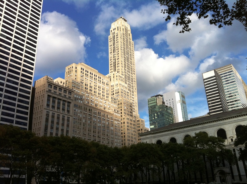
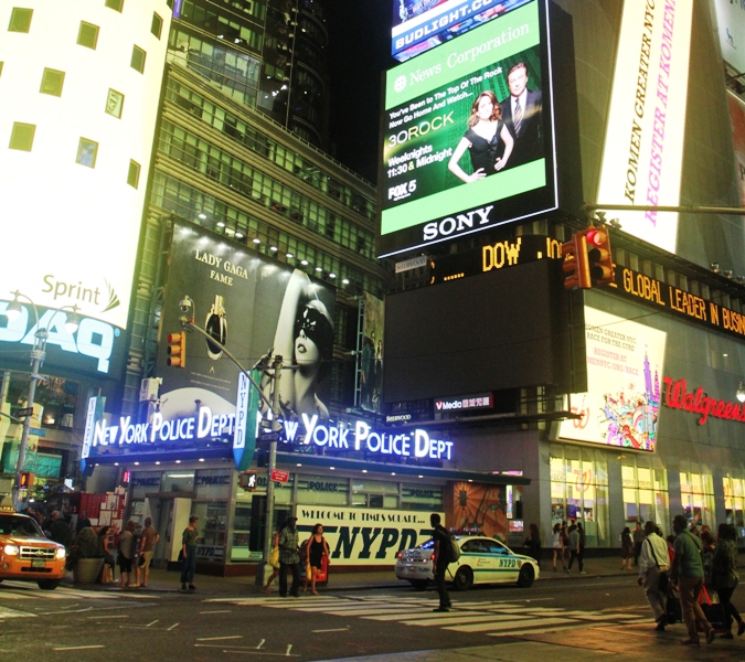
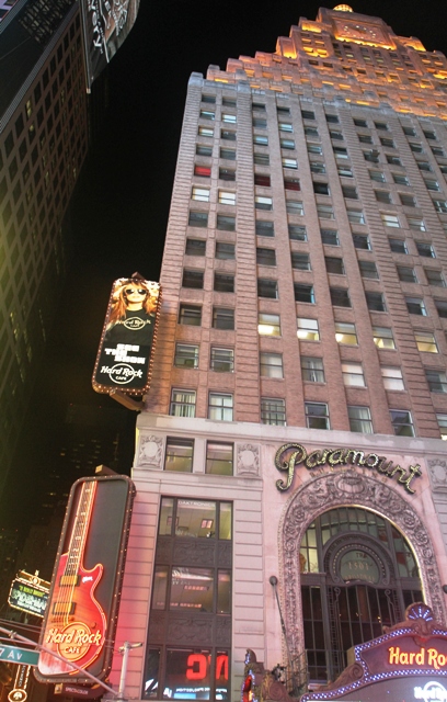
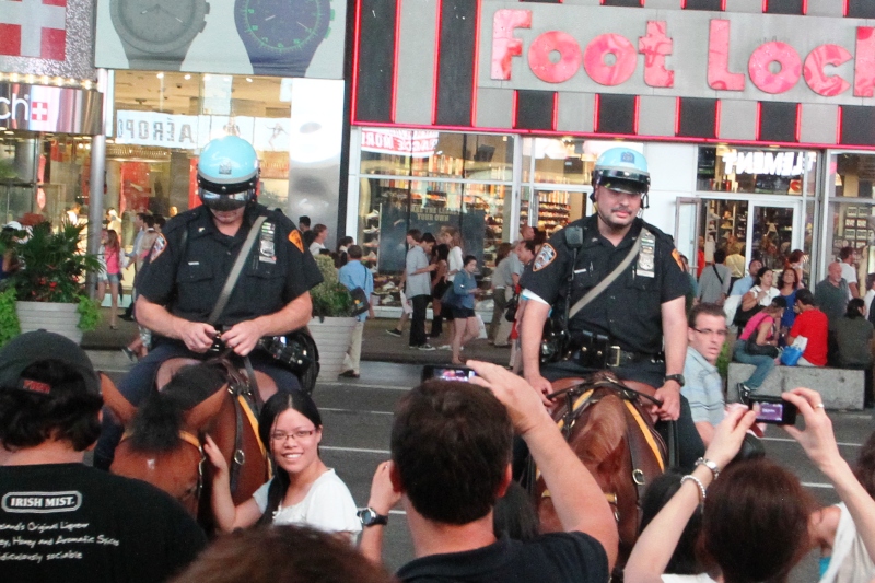
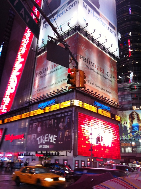
It’s 7.30am and I’m sitting in the lobby waiting for my colleague to walk over to the PwC office. The rain gods smiled on us : dry while we walked over with a big downpour soon after that!It is so easy to find one’s way with the phone’s GPS and maps. Just plug in the address you want to go to and presto! This is midtown Manhattan, the area directly below Central Park.A little city park called Bryant Park is close to the hotel. This is a cityscape view from within the park.This is Times Square, 42nd St and 7th Ave. Check out the New York Police Dept’s Tokyo-style police box right there on a strategic street corner.There is a Hard Rock Cafe in the historic Paramount building, just off Times Square.The police on horseback seem to be very popular tourist attractions !
It’s been a long day since I got up at 4.00 am Seattle time to make my 7.00 am flight. We left Seattle a little late, and there was light rain in New York City when I arrived, but everything went according to plan. I had dinner with a colleague and then we went for a short walk to Times Square. We also went down to the World Trade Center site. The 9/11 Memorial had already closed, though.
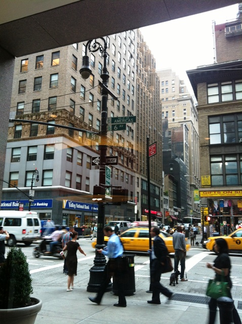
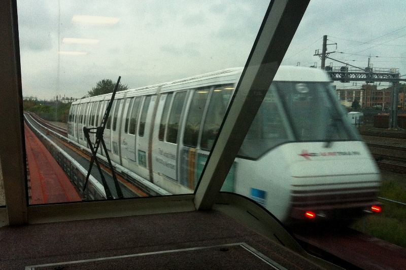
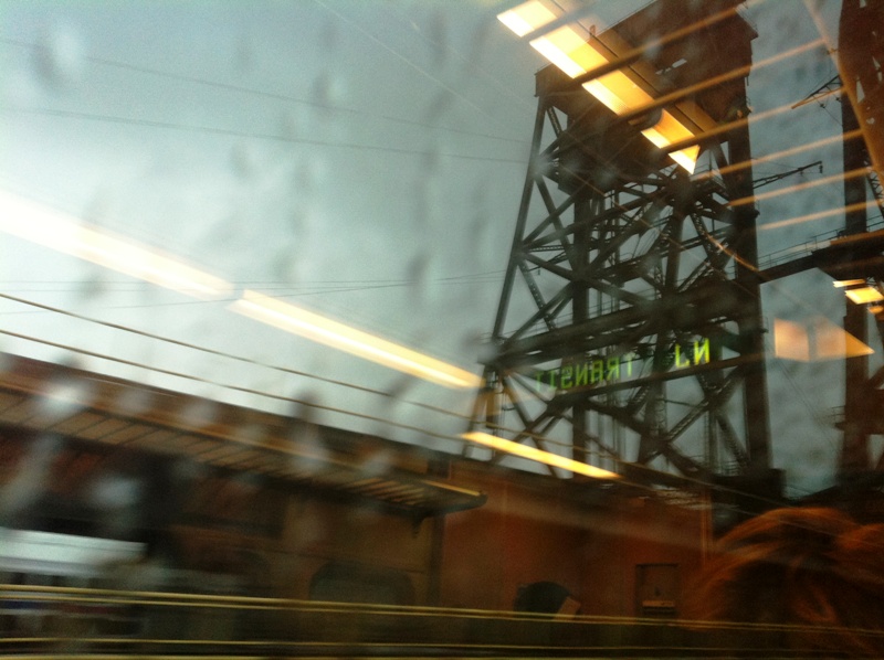
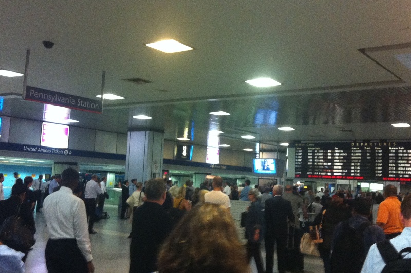
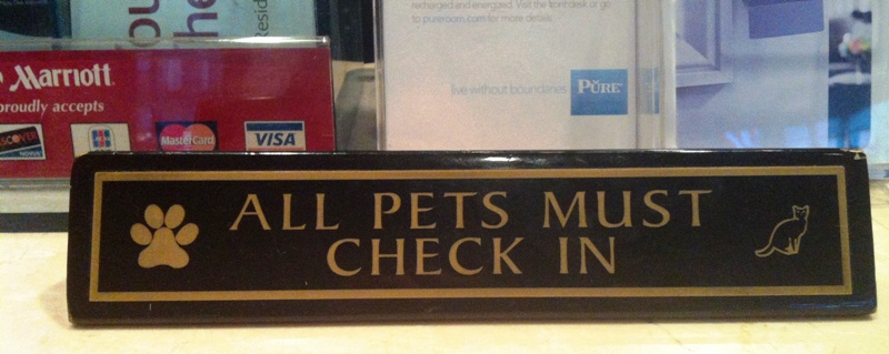
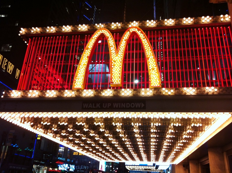
This is the Airtrain shuttle that runs between the Newark Airport terminals. I am on my way to the Newark Airport train station to catch a train on the New Jersey Transit system to NYC Penn Station.On the NJ Transit train on the way to NYC Penn Station with very old industrial age structures flashing by.Here is the main schedule board inside Pennsylvania (Penn) station in New York City.At the Marriott Residence Inn on 6th Avenue. ‘All pets much be checked in’ would be better, not? Fido cannot check himself in with a ‘woof!’.The McDonalds by Times Square is right up there with all the other gaudy neon signs and displays.The corner of 7th Ave and 42nd Street.The tower at 1 World Trade Center has 3,000 construction workers on site everyday, says a sign there. It is expected to be completed in mid-2013.
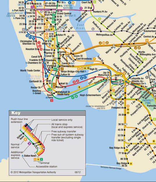
I leave very early Tue morning to go to New York City to attend a training course set up by my firm (yes, the old dog can still learn a few new tricks). I will arrive at Newark Liberty airport, and I need to get right into Manhattan. I will take several trains to get there : Newark Airtrain shuttle to the Newark Airport station, the New Jersey Transit to Penn Station in Manhattan, and then the New York subway train to get me to two blocks of the hotel.
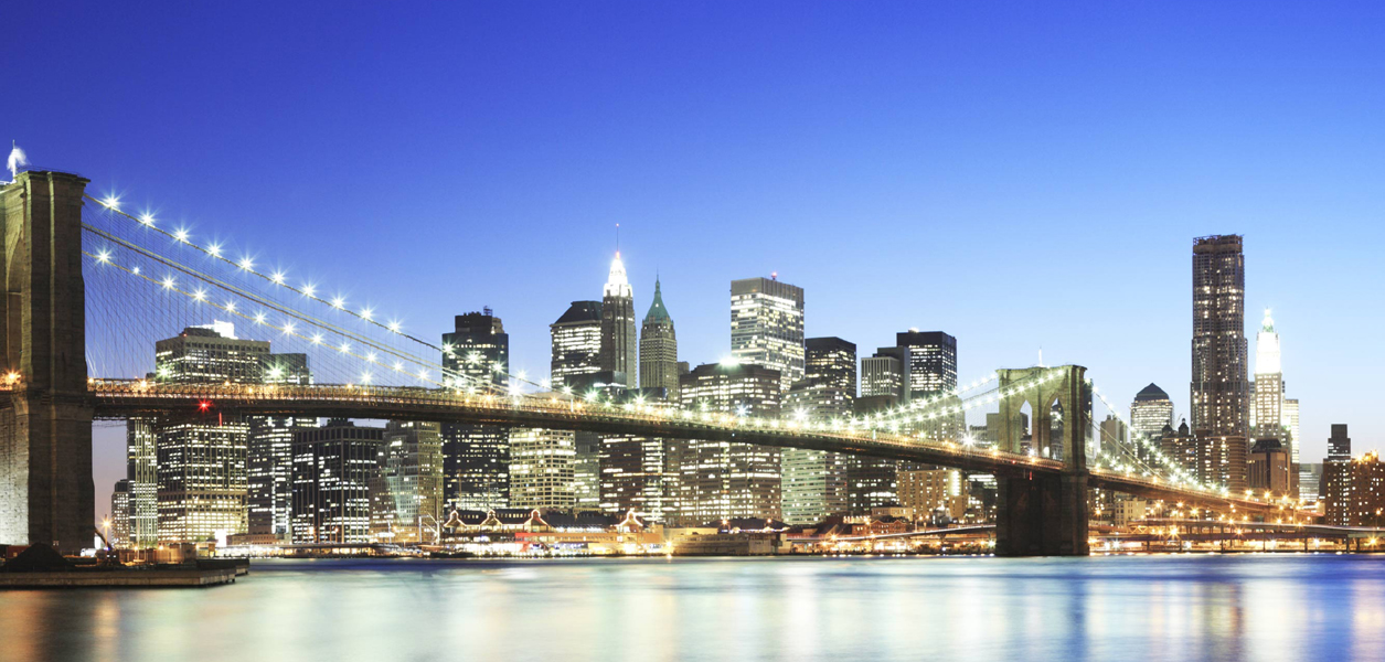
The United Airlines website’s New York City picture.The sprawling New Jersey Transit system. I start at Newark Airport station. And it’s good to know ahead of time there’s a Newark Penn Station and a New York Penn Station, and they are NOT the same!Once in Manhattan, the New York subway will whisk me where I need to be (well, I make it sound easier than it is. Sometimes it takes a little time just to find out which exit to the street level to take!).
I am still opening my little souvenirs from Japan. I found this world map with a set of Doraemon refigerator magnets in Tokyo, and felt compelled to buy it (because I think it is cute, not because I plan to travel to every country in the world!). Doraemon is the intelligent robotic cat (from a manga series created in 1969), who travels back in time from the 22nd century to aid a schoolboy, Nobita Nobi.
Here is the background board with numbers for 50 countries, and a background panel for each. The USA is easy to figure out (No 39 -Empire State Building and Golden Gate Bridge), South Africa less so (No 22- a mountain or cliff, but that is NOT the famous Table Mountain from Cape Town).And here are the Doraemons for each country. The United States Doreamon is dressed up in a Statue of Liberty costume, and the South Africa Doraemon has a Nelson Mandela shirt and a vuvuzela (well done!).
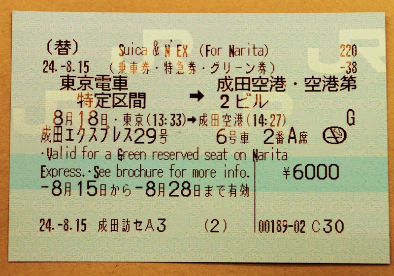
Everything after the Narita Express train ride to the airport went very well : picked up the stowed suitcase, get the luggage out of the way at the check-in, buying a last souvenir at the airport shops and stamps at the airport post office, and onto the plane. It was 9 hrs to Seattle, and I got in on Saturday morning after leaving Tokyo on Saturday afternoon.
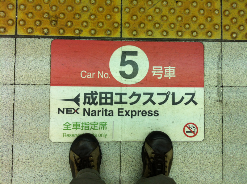
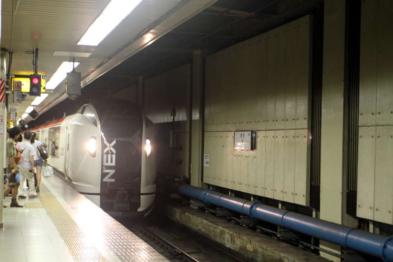
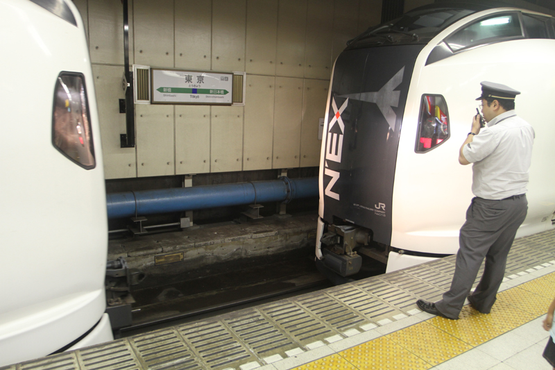
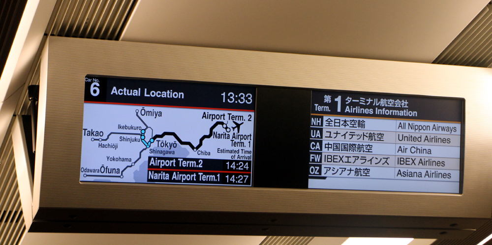
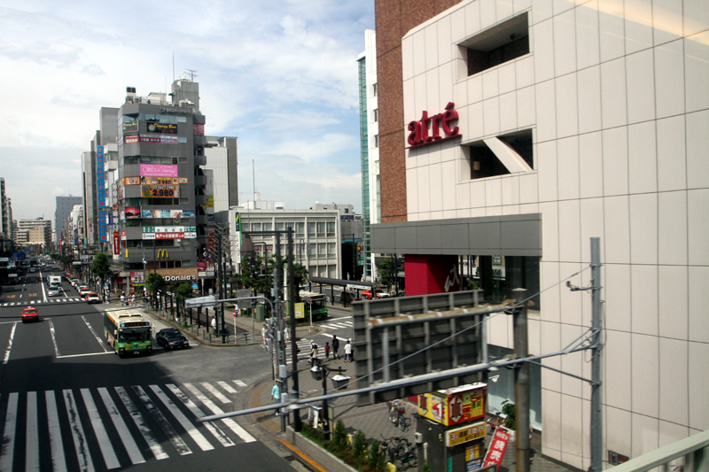
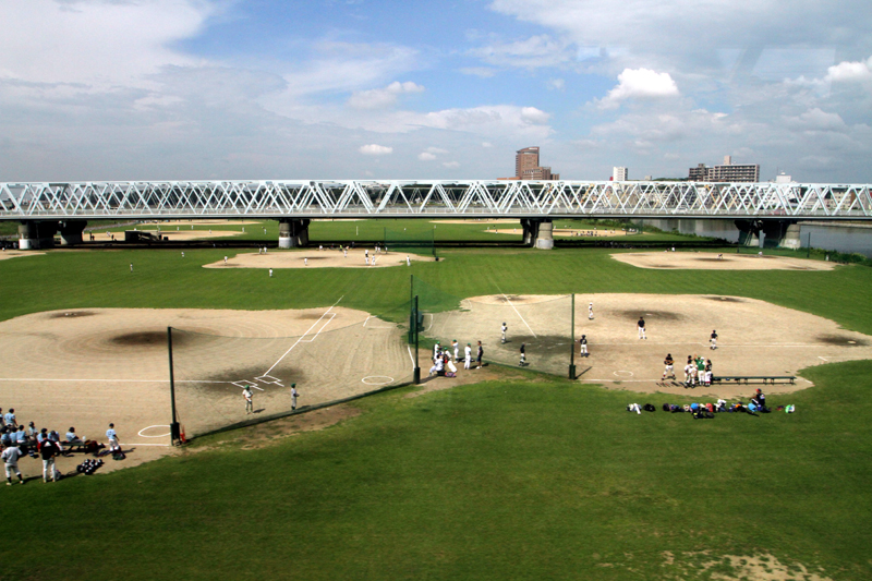
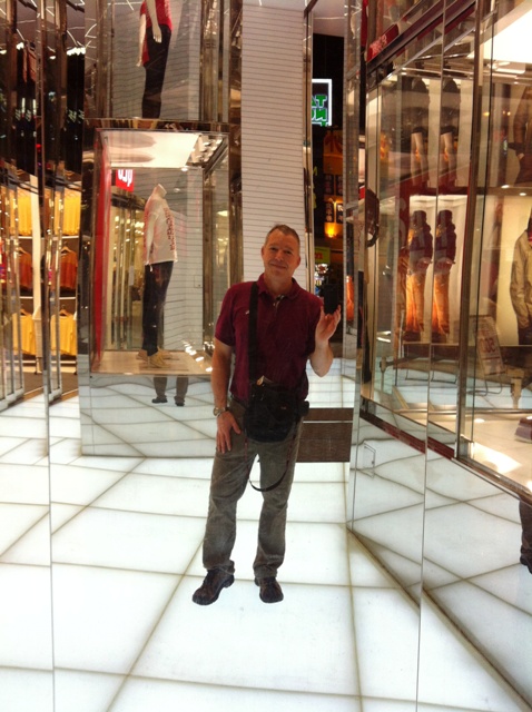
That’s me, waiting for the train. My car was actually number 6, though (there were people crowding the platform at the Car No 6 sign).Stay out of the way! This is actually the front set of cars of the train arriving a few minutes before the departure time of 1.33 pm ..The front set of cars is connected with the rear set of cars. It goes very quickly. I am not sure why the two sets of cars have to be combined at Tokyo station.Inside the car on the way to the airport.Street scene flashing by on the outskirts of Tokyo .... and this looks like a Saturday morning ‘Little League’ baseball event.
I’m out of clean clothes, my camera’s battery is almost dead and the charger is in the bag I left at the airport – and I did what I wanted to do in Tokyo! I’ve got my ticket, and about to go downstairs to check out. A short trip on Tokyo Metro to Tokyo Station and then on the Express to the airport.
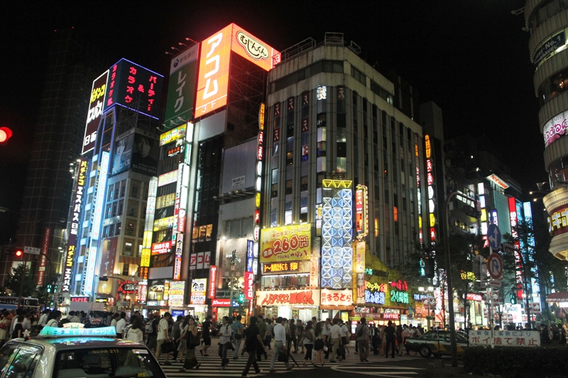
I had to go check out the area around Shinjuku station .. lots of people, lots of places and a nice vibe. It is warm even at night (of course).
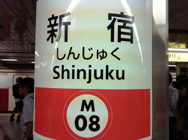
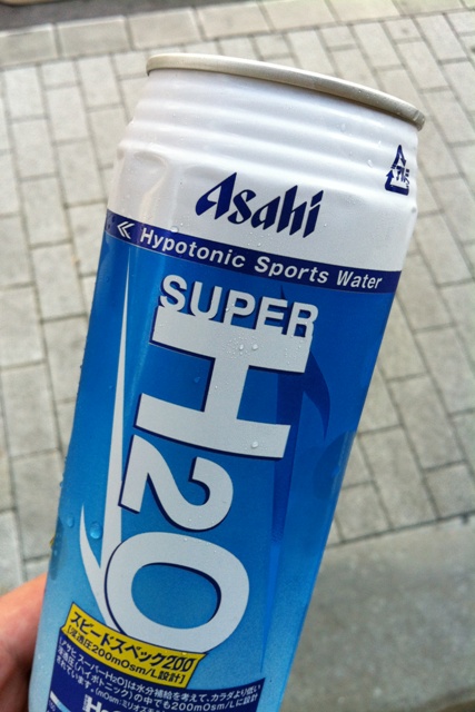
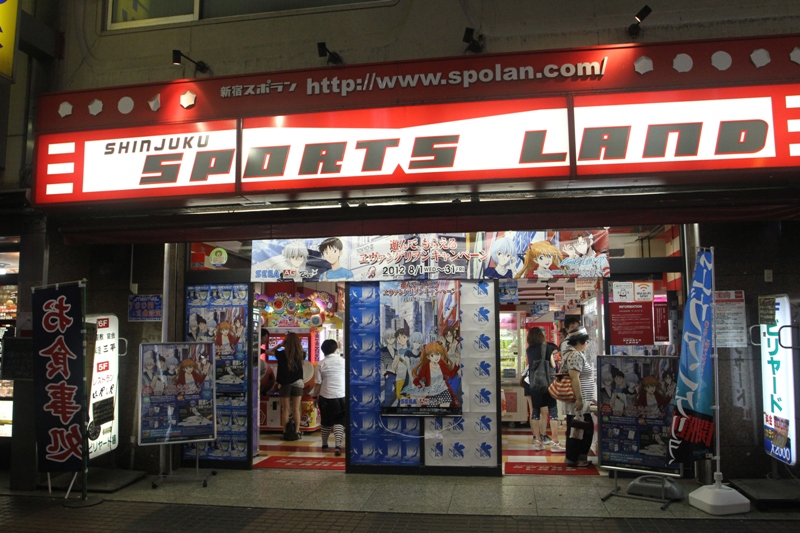
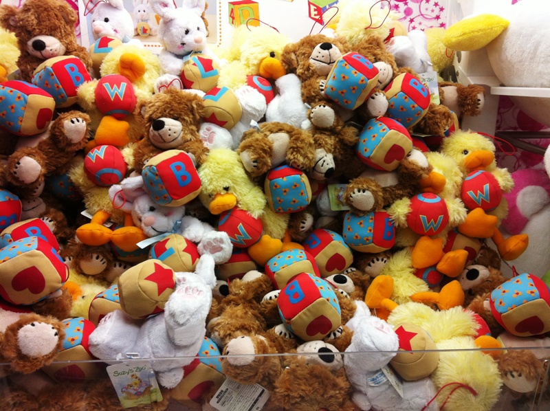
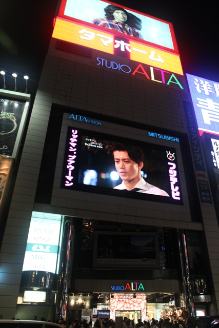
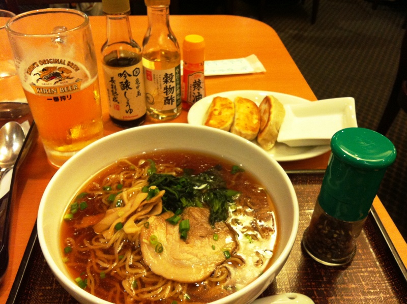
The entrance of the Uni Qlo clothing store. It’s more or less ‘The Gap’ of Japan and has a sale on to celebrate its 10 year anniversary (so it’s much younger than the Gap, actually). I bought two polo shirts for US$10 each. I ran out of clean shirts!One of several signs for Shinjuku station, this one for the Marunouchi Line from Tokyo Metro.Asahi makes many, many more beverages than just beer. This one from a vending machine came in handy on Friday.This is a video game and game machine and parlor.These little fluff ball soft toys are inside a coin-operated machine and are all hoping to get grabbed by a crane hook that the operator manipulates to try to grab one. Remember a scene like this in one of Disney’s Toy Story pictures?It’s fun to cross the street with 10,000 other people (or so it feels like!).This is the giant TV screen at the Studio Alta (store) entrance at Shinjuku station. Lots of young people hang out here. It’s the de facto meet place for friends on a Friday night in the area, no question.Here’s my dinner from the 24-hr Dennys across from the Marriott. No English on the menu, and really no burgers. Cheers! to my friends in Seattle, I thought as I drank the Kirin beer. I missed you. I will be there soon.
Alright, so I tried !.. but couldn’t make it up to the Skytree’s observation decks (there are two). I got there a little after 12 noon and the line was so long that they sold tickets for 4 pm. School is still out here, so everyone was out in full force. To make matters ‘worse’ there is a whole Skytree Town built at the Tree’s base : souvenir shops, stores, a food court and an aquarium as well.
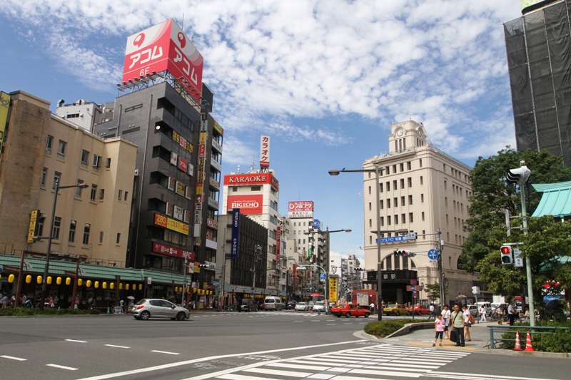
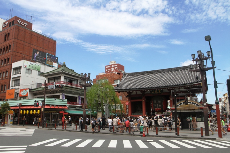
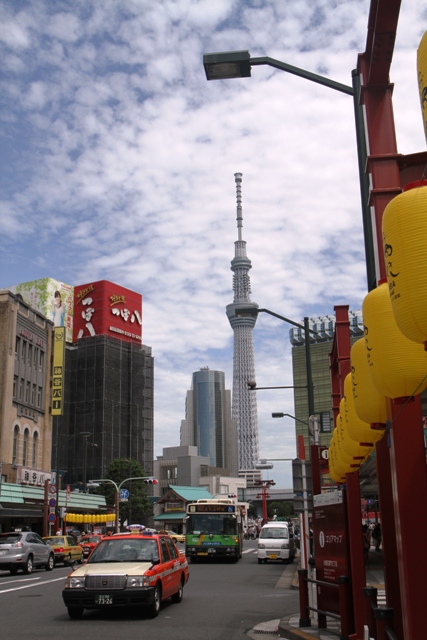
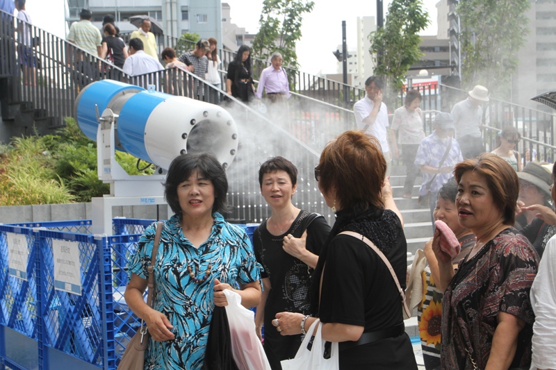
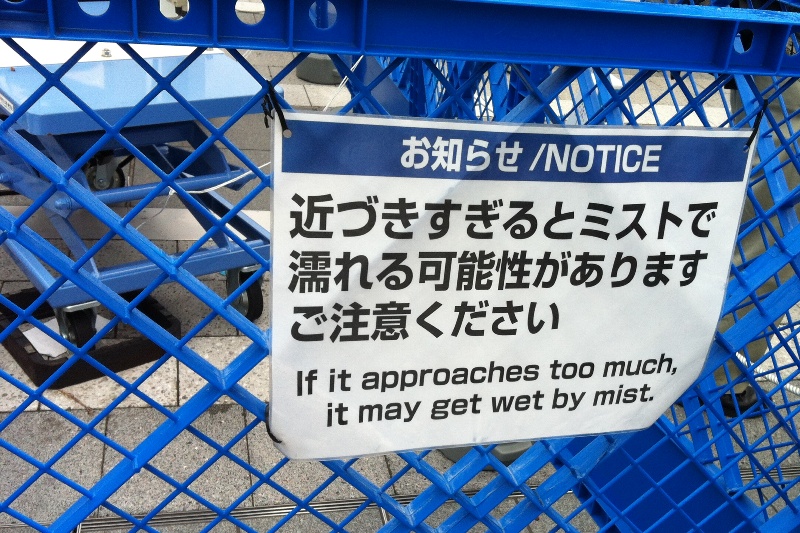
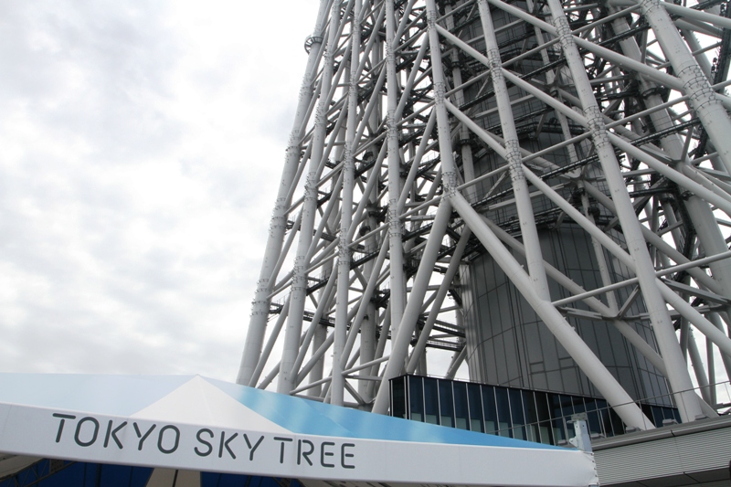
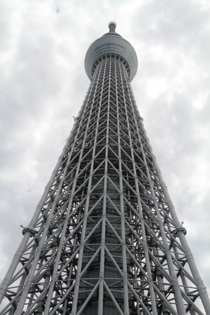
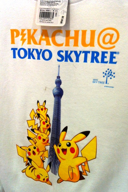
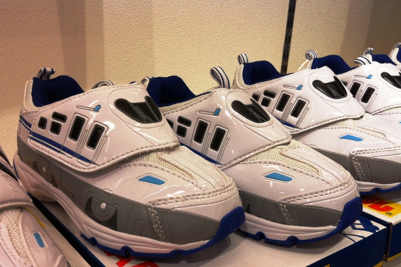
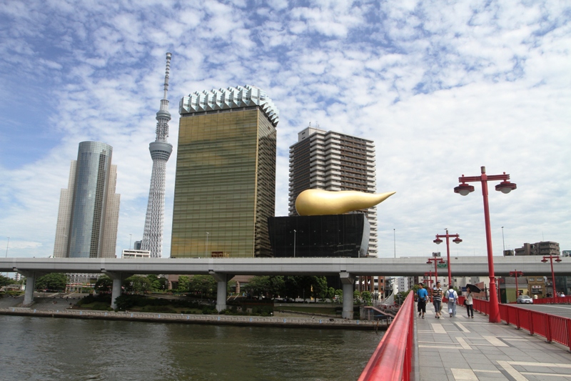
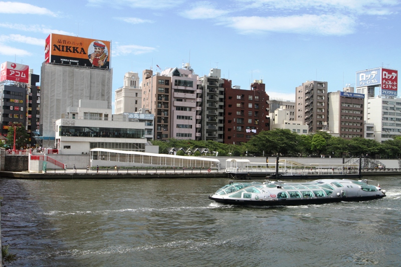
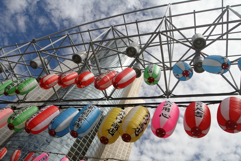
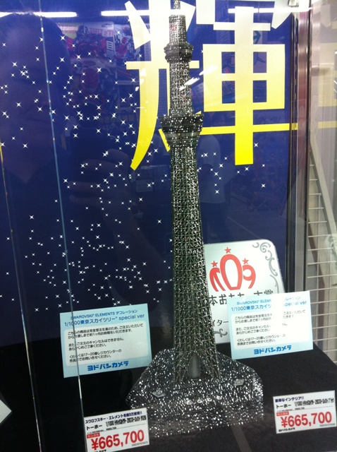
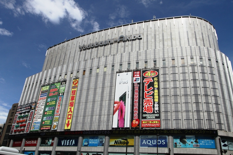
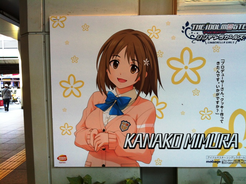
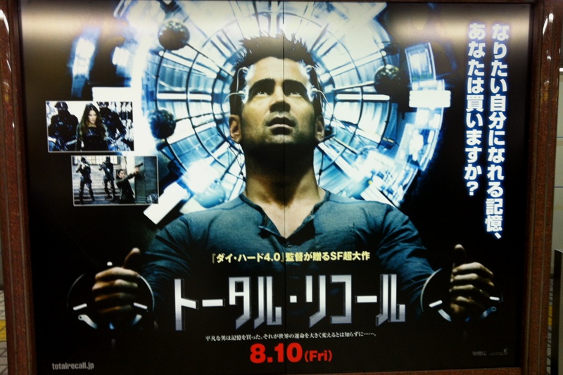
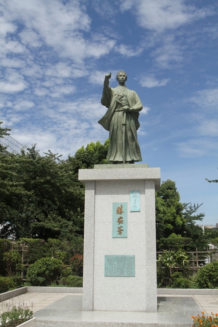
This is in the Asakusa station area. Skytree visitors take the Tobu line from there across the Sumida river to the new Tokyo Skytree station. The entrance to the Tobu line is in the Matsuya department store building (right on the picture).Still in the Asakusa station area, the Sensoji temple with a large plaza behind it that sells food and handmade gifts and souvenirs.Here’s the glimpse of the Skytree from the street neat the Sensoji temple. The yellow lanterns provide a festive atmosphere.Now I have arrived at the base of the Skytree. These ladies are enjoying the mist and cool air. I saw these misters at a few places on the Tokyo streets... but don’t approach the misters ‘too much’. But let me submit that I think 1. It’s perfectly OK to get wet. 2. You are wet already, from sweating. I gobbled up several 500ml bottles of water yesterday.Here is as close to the monstrous metal Skytree I could get. Skytree is the world’s highest free-standing broadcasting tower, ‘with cutting-edge Japanese building technology supporting it safely’, says the website (I think that means for earthquakes, I think). The structure is 634 m tall (2,080 ft).Looking up from the base.Yes? How is your knowledge of Japanese pop culture? This is Pikachu frolicking on a Skytree t-shirt from the gift store : a short, chubby, rodent-like Pokémon with yellow fur all over its body. (They did not have an extra large shirt for me).And if I were 4 years old, I’d love to have a pair of these bullet train sneakers.Now I arrived back at Asakusa station, and I am walking on the Azumabashi bridge across the Sumida river. The two buildings to the right of Skytree are the Asahi Beer Headquarters. The biggest building resembles a giant beer jug complete with a foam shaped white roof. The shorter building is known as the Super Dry Hall. It is a black building in the shape of a beer glass, with an enormous golden flame shaped object perched on top (affectionately known as the ‘golden turd’)..And is this riverboat is sleek or what? There may very well be aliens (from Mars) inside.More paper lanterns, this in the park across the Azumabashi bridge.Of all the Skytree toys and souvenirs I saw yesterday, this one has to take the cake : a Swarovski crystal tree fitted with LED lights that goes for 665,700 yen (US$8,400). This is in the Akihabara electronics store.The main entrance to the Akihabara electronics store. I did check out the Seiko watches, but didn’t buy another one. I have too many already!I have no idea how famous Kanako Mimura is as a anime character. There are posters around the Akihabara store of several other anime characters as well.Here’s Colin Farrell on a subway poster for the 2012 version of the Arnold Schwarzenegger movie Total Recall. The Japanese characters gives it that extra little bit of high-tech edge, not?This picture belongs with the one with the colored paper lanterns. It is a statue of Katsu Kaishū (1823 – 1899), a Japanese naval engineer and statesman.