Tuesday/ to San Francisco

Here is a Boeing 787 Dreamliner from China Southern Airlines that I spotted at the gate next to ours as we arrived into San Francisco Airport.   There is a mesh screen on the window that I took the picture through, unfortunately (the black dots in the picture).  Click on the picture to make the Moiré pattern brought on by the reduced picture size below, disappear.

P.S.  The cat is out of the bag regarding former Secretary of State Hillary Clinton’s e-mail address that I wondered about .. it is hdr22@clintonemail.com (or it was – it is most likely an account that is deactivated by now).

IMG_7250 sm
This Boeing 787 Dreamliner from China Southern Airlines. It is actually China’s largest airline and they are headquartered in Guangzhou, Guangdong Province


Friday/ San Francisco’s Street Cars

I had to make a run for my flight at San Francisco airport today after my meeting in downtown but I made it.  I took a brisk walk from Beale Street to the Embarcadero BART station, which took my right into the international terminal in SFO airport.   Luckily I could use the expedited lane through security (besides being stuck in traffic, this is the other place where one gets tripped up when one is short on time!).

[From WIkipedia] The F Market Line (historic streetcar service) in San Francisco, opened in 1995, runs along Market Street from The Castro to the Ferry Building, then along the Embarcadero north and west to Fisherman’s Wharf. This line is run by a mixture of PCC* cars built between 1946 and 1952, and earlier pre-PCC cars.

*Presidents’ Conference Committee

IMG_7225 sm
Here is the No 1079 PCC Street Car, painted to commemorate Detroit’s PCC (Presidents’ Conference Committee) design streetcar.   It was built in 1946!
IMG_7227 sm
Here’s the south-bound airport train arriving at the Embarcadero station.   It still takes about 35 mins for the 15 miles from there to the airport due to the many stops it makes on the away there. 


Thursday/ Market Street, San Francisco

I have a meeting tomorrow at our client’s head office in downtown San Francisco, and so I am staying over in downtown (instead of over on the east Bay side in Walnut Creek).  The pictures are from around Market Street in the Embarcadero district.

IMG_7189 sm
The Hobart building is right by the Montgomery Street BART station. (Should an artist not be enlisted to paint something on the blank canvas that is the side of the building?).
IMG_7195 sm
This ornate old streetlamp is at the corner of Market Street and Third Street.  The bus and the bikers are on Market Street.
IMG_7201 sm
The Hearst Building’s front entrance is on Third Street. The original Hearst building was completed in 1898 but destroyed by the earthquake and fire of 1906. A new one was built in its place (this one) and it opened its doors in 1911.


Monday/ the Disneyland plane

We had the Disneyland plane again to San Francisco on Monday morning.  By now I can probably make my way out of San Francisco airport blindfolded!, I thought as I walked out to go to Hertz to meet my colleagues and pick up the rental car.

IMG_7170 sm
I’m about to step onto the sky blue Disneyland plane from Alaska Airlines at gate N14 at Seattle airport’s North Terminal. Check out the reflection of the gates in the window .. there’s N12, N14, N15, N16. In the distance is an Alaska Airlines plane with a big old salmon painted on its side.


Monday morning’s airport run

It was Monday morning, and so I did my usual taxi ride out to the airport, to step onto the plane for San Francisco (nevermind that it’s the President’s Holiday here in the USA).

IMG_7128 sm
It’s 6.45 am and the sun is just out. I am about to step into the Alaska Airlines Boeing 737 bound for San Francisco.


Thursday/ waiting for the President

IMG_7086 sm
A cheesy Golden Gate Bridge snow globe for you from the airport gift shop? (Does it snow in San Francisco? Rarely, but it does happen. The last time it happened was March 10, 2006, says Yahoo Answers).

My flight out from San Francisco to Seattle on Thursday night was not bad.  President Obama interfered with our travel plans with his arrival into San Francisco, though.  There was a ground stop in place for two hours.

Monday/ the Bay Bridge at night

Here’s a ‘dash cam’ picture from of the San Francisco Bay Bridge at night, as I drove across it at 1 am on Monday morning.   (The ‘dash cam’ is my iPhone, running Google Maps as I drive.  I just pressed a buttons to take the picture).

IMG_7076 sm

Sunday/ another 2 am arrival

IMG_7068 sm
I like to have a giraffe on my Hertz rental car shuttle.
IMG_7070 sm
Terminal 2’s concrete has fishies and seaweed overhead.

I made my way to San Diego airport early evening, but it was past midnight by the time we arrived at San Francisco airport.

A rainstorm with high winds had battered the city all evening. ‘High winds on bridge’ flashed a sign on I-80 still, by the time around 1 am as I was driving by.  But hey : no snarled-up California freeway traffic at those wee hours in the morning.

Saturday/ Solana Beach, San Diego

On Saturday I went my first little league ‘football’ game (the term football being loosely used, since it is played by 6-year olds!) on Saturday.   My nephew was one of the little tykes running around on the field under the guidance of two coaches.  It is flag football, so there is no tackling.  The pursuer rips a flapping velcro ribbon from his opponent’s waistband,  and is a ‘tackle’.

Later in the day my brother and I made it out to the beach late afternoon, and then went for a beer at a local microbrewery.

IMG_7058 sm
Here’s the part of Solana Beach where the surfers and paddle surfers like to go early mornings, or late in the day (my brother pointing to it). This is around 5.30 pm. The sun still sets early here in the North’s winter.
IMG_7059 sm
I’m in the middle of the picture. Culture Brewing Co. is just a hole-in-the-wall space in Solana Beach where micro-brewed beers can be had. People bring their dogs and stand around and drink a beer or two. It is usually packed,but was quiet for some reason on Saturday.


Midnight/ early Saturday morning

Friday night’s flight out of San Francisco to San Diego to visit my brother turned into a belary-eyed midnight/ early morning affair.  The incoming airplane was several hours late, so it was midnight by the time we stepped on board, and 2 am when we arrived in San Diego.

IMG_7004 sm
That’s the rental car’s windshield wiper as we approach San Francisco airport. January was the driest on record in San Francisco, with no rain at all, but this weather system brought a lot of rain to the Bay Area.
IMG_7010 sm
Some industrial art on the way to Terminal 3 in San Francisco. (Do pay phones belong in a museum now?).


IMG_7038 sm
This animated display is in Terminal 3. Figured it out? The blue pin is San Francisco airport. The red triangles are flights that are being tracked. The triangles/ lines of ‘scaffolding’ is North America’s outlines.
IMG_7031 sm
One more work of art from Terminal 3 (my favorite) .. it’s called Spirogyrate, by artist Eric Staller. The wheels are electronic displays – imbedded in the floor and on the wall.  The wheels start turning and changes color from pink to purple to blue.


Thursday/ somewhere near Salinas

Busted flat in Baton Rouge, headin’ for the trains
Feelin’ nearly faded as my jeans
Bobby thumbed a diesel down just before it rained
Took us all the way to New Orleans

I took my harpoon out of my dirty red bandana
And was blowing sad while Bobby sang the blues
With them windshield wipers slappin’ time and
Bobby clappin’ hands we finally sang up all the songs
That driver knew

Freedom’s just another word for nothin’ left to lose
Nothin’ ain’t worth nothin’ but it’s free
Feeling good was easy Lord, when Bobby sang the blues
Feeling good was good enough for me
Good enough for me and my Bobby McGee

From the coal mines of Kentucky to the California sun
Bobby shared the secrets of my soul
Standing right beside me Lord through everything I done
Every night she kept me from the cold

Then somewhere near Salinas Lord, I let her slip away
Looking for the home I hope she’ll find
And I’d trade all my tomorrows for a single yesterday
Holding Bobby’s body next to mine

Freedom’s just another word for nothin’ left to lose
Nothin’ left is all she left for me
Feelin’ good was easy Lord, when Bobby sang the blues
Buddy that was good enough for me
Good enough for me and Bobby McGee

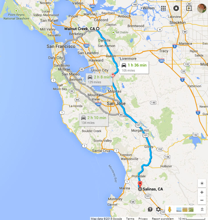
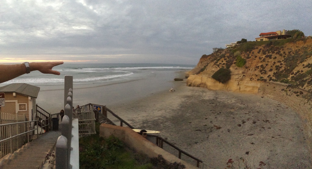
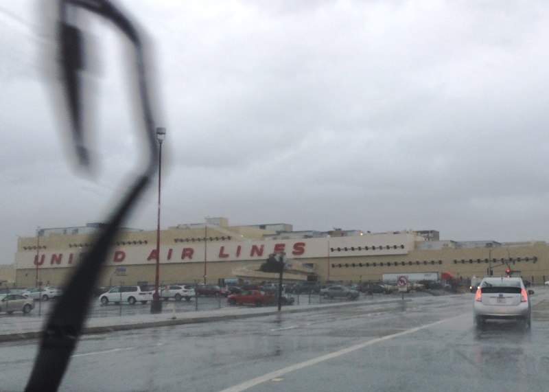
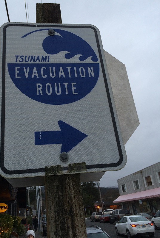
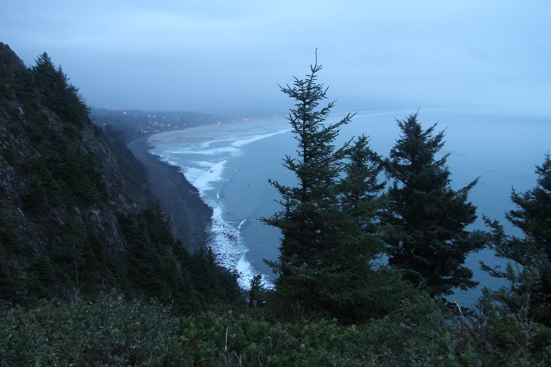
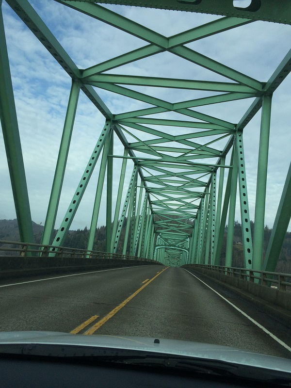
The words are from Kris Kristofferson’s 1969 song ‘Me and Bobby McGee’, of course.  I loved the song ever since I was in high school, and I love the melancholic Kristofferson rendition.   Man!  Got to listen to that song again, I thought today, as the California sun sat high in the clouds, as my colleague and I made our way down on Highway 101 to Salinas. (We are holding a workshop with some of our target users.  They are getting tablets with which to manage their work in the field, and it is very important that we get their feedback).

2-5-2015 9-09-23 PM


Monday/ taking all day

I went to the dentist in Seattle downtown this morning, then home to pick up my suitcase and to catch the taxi out to the airport.   We were not directly impacted here on the West coast by the massive snowstorm in the Northeast, but our departure from Seattle was delayed by 90 minutes, nonetheless.  Two bolts were found to be missing from one of the wings (!) and it took time to track down the exact right parts in the warehouse to fix it.    It was 4 pm by the time I left San Francisco airport in my rental car, and of course then traffic through the city to get to the Bay Bridge is everywhere.  I should have taken BART (the train), but I had conference calls to dial into and the train is so noisy, that that would not have worked.  Ah well.  I made it in to work at 5.45 pm just to say hello to everyone before we wrapped it up and went to the hotel.

IMG_6910 sm
Here’s a futuristic magnetic levitation elevator system proposed by Thyssen-Krupp, the German elevator manufacturer (from a magazine at the dentist’s office).


Friday/ SkyMall no more

The shopping catalog of the sky (‘SkyMall’) has filed for bankruptcy.  I paged through it many times to ogle the offerings inside, and chuckling at the weirdness – but I have to think long and hard now to remember when the last time was when I saw one in the back pocket of the seat in front of me.

IMG_3451 sm
Apparently this life-size Bigfoot garden statue was one of the best sellers in the catalog. (Going somewhere, Bigfoot, with your fancy suitcase? I want to come with! ).


Thursday/ the Yerba Buena Island Tunnel

My colleague and I shared a rental car and he drove us to the airport.  We always drive through a tunnel on the way there and today I finally checked out the San Francisco map to pin down the location of the tunnel.  It’s the upper deck of the Yerba Buena Island Tunnel, in fact.  Yerba Buena is named for an abundant plant in the area, an alternative name for  hierba buena, literally meaning “good herb” in Spanish.

IMG_6865 sm
Where are we? I know we’re on the Bay Bridge driving west, but how come there is a tunnel on the bridge .. ?
1-22-2015 11-26-53 PM
We’re actually on the two connected islands called Treasure Island and Yerba Buena Island, and the tunnel goes through Yerba Buena Island.


Monday/ staying put

No, this is not me! I1-13-2015 10-05-33 PMt’s passenger Chris O’Leary, tweeting that he was the only one on a 76-seater Delta flight to La Guardia airport in New York City. (One more passenger actually boarded right before the door closed, though).  Hey – no screaming babies, and I can lean my seat back all the way at any time, he said afterwards.

As for me : I had canceled my flight to San Francisco for Monday, since I was still battling the nasty cold that had started on Wednesday last week.

Thursday/ made it in

I was well enough to travel today and made it in home, albeit with some discomfort and pain in my ears as we descended.

IMG_6779 sm
This London-bound British Airways 747 was just getting pushed back from the gate at San Francisco airport.  I am in the ‘AirTrain’, on my way to the International Terminal.


Monday/ go west (to stay warm)

My flight out today was full as usual, but went without incident, and we arrived on time at San Francisco airport.   The winter’s coldest weather is pushing into the midwest and all the way south into Texas, but on the West coast we have relatively warmer temperatures.   I love the graphics on the weather underground’s maps. (Check out http://www.wunderground.com/wundermap/).

wundermap
This one shows temperatures in Fahrenheit, and the red pin is Walnut Creek where our project office is.


wundermap c
This map shows temperatures in Celsius. 5 °C is not so bad after all. It is very cold in Canada .. brrr.


Sunday/ my bags are packed

IMG_6763 sm
It was blustery and rainy all day, and still like that early in the evening.

It’s time to go back to work and travel out to the project site in the Bay Area again.  Late today I ran out to Bergman’s luggage store in downtown to buy a new roller bag.  The casing and zippers of the one I have are totally fine, but the wheels are coming off !  Not good! Maybe I can have them replaced, but that will take time.  I ended up buying a TravelPro bag that was slightly more expensive than the Samsonite ones. I really wanted a bag with two big wheels, not a ‘spinner’ with the four little ones.


Saturday/ the Astoria-Megler Bridge

IMG_6722 sm
This tsunami evacuation route sign is in the little downtown area of Cannon Beach. In 1964 an earthquake in Alaska triggered a tsunami that reached a height of almost 13 ft (4 m) at Seaview, Washington. Geological evidence also shows that around 1700 a powerful earthquake (magnitude 8 to 9) and large tsunami hit Washington’s coastline.
IMG_3436 sm
This late afternoon picture is from a viewpoint on the west shoulder of Neahkahnie Mountain, looking south. We’re on a cliff about 1,661 ft (506 m) above sea level.
IMG_6727 sm
This is Saturday morning on my drive back to Seattle. The Abominable Snowman advertises coffee from the little orange espresso stand behind it.
IMG_3444 sm
Before I went onto the bridge, I drove up a hill overlooking the Columbia river and the Astoria-Megler bridge. (I am looking north toward Washington State on the other side). The main span is a 2,468-foot steel cantilever through truss, and is flanked by five steel deck trusses, and one hundred forty 80-foot concrete deck girder spans.
IMG_6754 sm
Here is a picture taken by someone while crossing the bridge.

We checked out the town of Cannon Beach on Friday after visiting Hug Point.

I started back to Seattle on Saturday and I crossed the Astoria-Megler Bridge again.  I stopped to take more pictures of it.

The bridge stretches 4.1 mi (6.6 km) from Astoria, Oregon, across the mouth of the Columbia River, to Point Ellice, Washington. The bridge replaced previous ferry lines running from Astoria to Washington.   Construction on the bridge began in 1962 and it was formally dedicated August 27, 1966.  The bridge was initially a toll bridge, but by 1993, the bridge had been paid off and the toll was removed.

Friday/ Hug Point, Oregon

220px-Wagon_crossing_Hug_Point,_Oregon
[From Wikipedia] A stagecoach low on a carved-out road at the Hug Point. The rocks and the road surface are still there today.
IMG_6709 sm
In this panorama, Hug Point is on the far left. There are caves in the cliff sides, and a little seasonal stream and waterfall as well (in the middle).

We drove a little up and down the northern Oregon coast on Friday.  When I saw the signs for a turn-out to ‘Hug Point State Recreation Area’, I suggested we stop and go check it out.

I later learned that the name comes from 19th century stagecoach drivers that used the beach as a highway, and they had to ‘hug’ this particular point even at low tide to get around it.

IMG_3410 sm
I’m trying not to get my shoes and socks wet! (Yes – I should have just taken them off and walked through, but the water is icily cold).
IMG_3419 sm
One of the cavernous spaces in the cliff-side.  My friend Tony had to use the flash on my camera to light me up. At high tide the cave fills half-way up with water.