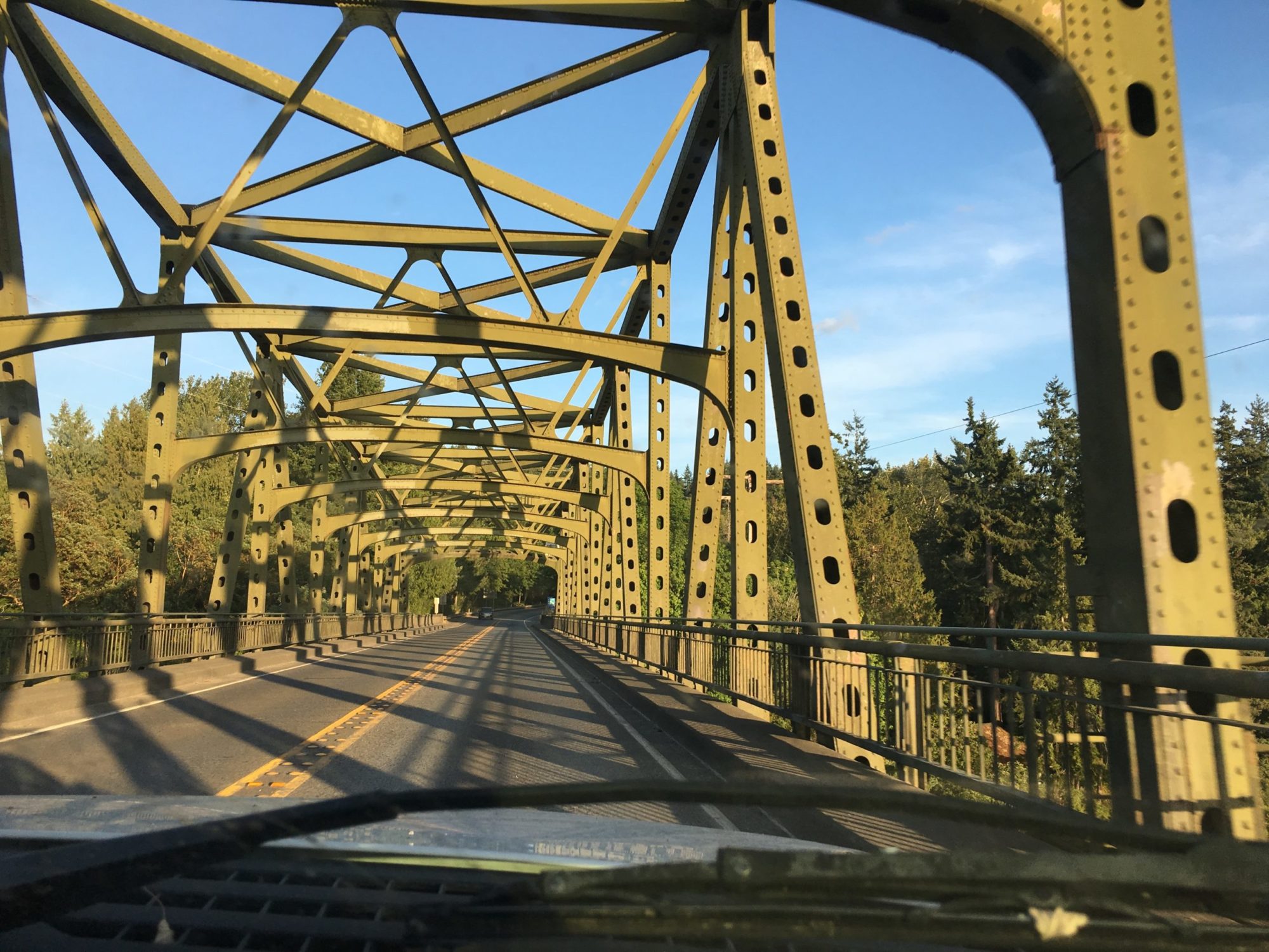
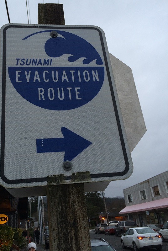
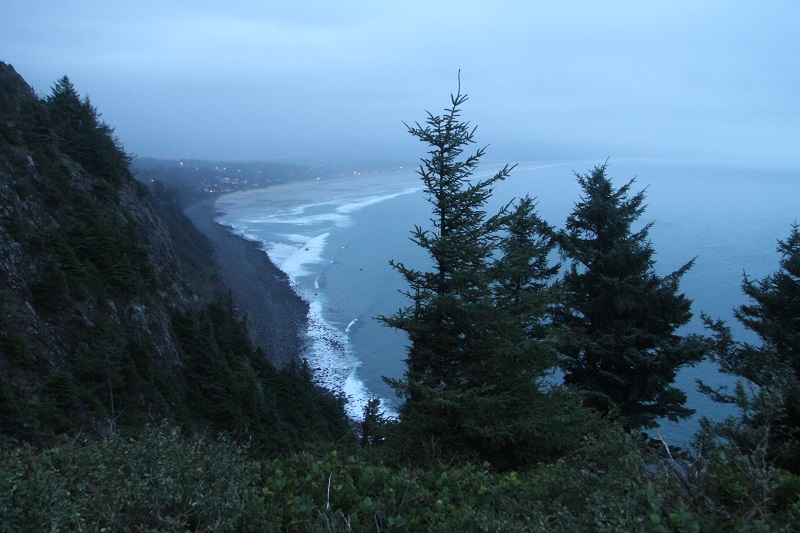
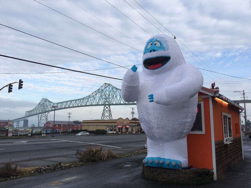
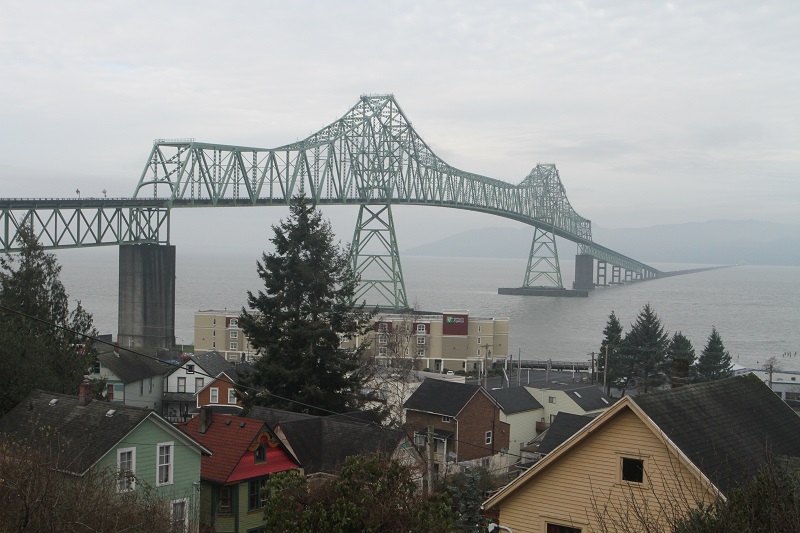
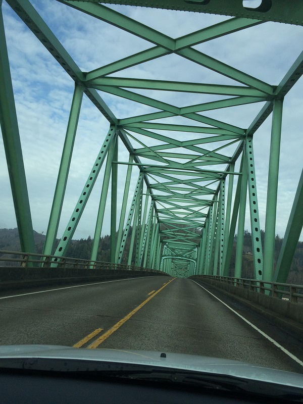
This tsunami evacuation route sign is in the little downtown area of Cannon Beach. In 1964 an earthquake in Alaska triggered a tsunami that reached a height of almost 13 ft (4 m) at Seaview, Washington. Geological evidence also shows that around 1700 a powerful earthquake (magnitude 8 to 9) and large tsunami hit Washington’s coastline.This late afternoon picture is from a viewpoint on the west shoulder of Neahkahnie Mountain, looking south. We’re on a cliff about 1,661 ft (506 m) above sea level.This is Saturday morning on my drive back to Seattle. The Abominable Snowman advertises coffee from the little orange espresso stand behind it.Before I went onto the bridge, I drove up a hill overlooking the Columbia river and the Astoria-Megler bridge. (I am looking north toward Washington State on the other side). The main span is a 2,468-foot steel cantilever through truss, and is flanked by five steel deck trusses, and one hundred forty 80-foot concrete deck girder spans.Here is a picture taken by someone while crossing the bridge.
We checked out the town of Cannon Beach on Friday after visiting Hug Point.
I started back to Seattle on Saturday and I crossed the Astoria-Megler Bridge again. I stopped to take more pictures of it.
The bridge stretches 4.1 mi (6.6 km) from Astoria, Oregon, across the mouth of the Columbia River, to Point Ellice, Washington. The bridge replaced previous ferry lines running from Astoria to Washington. Construction on the bridge began in 1962 and it was formally dedicated August 27, 1966. The bridge was initially a toll bridge, but by 1993, the bridge had been paid off and the toll was removed.