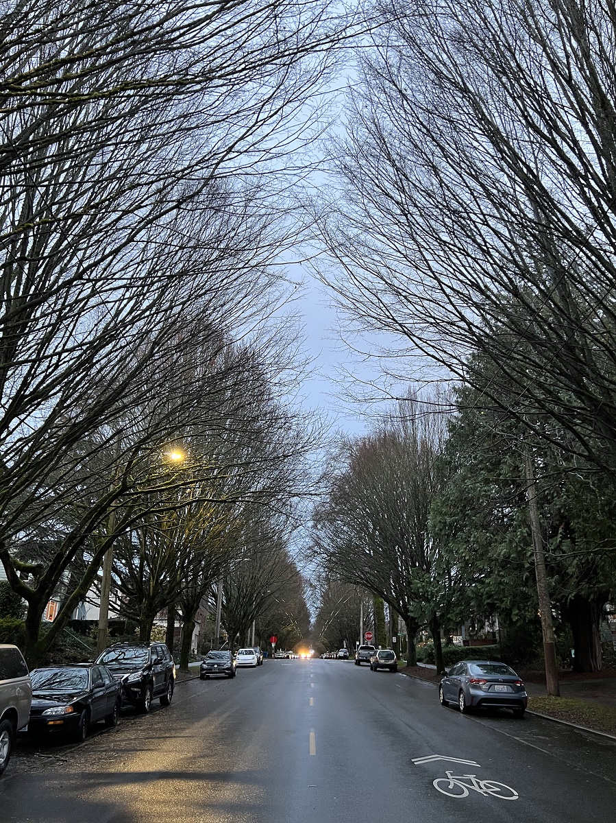
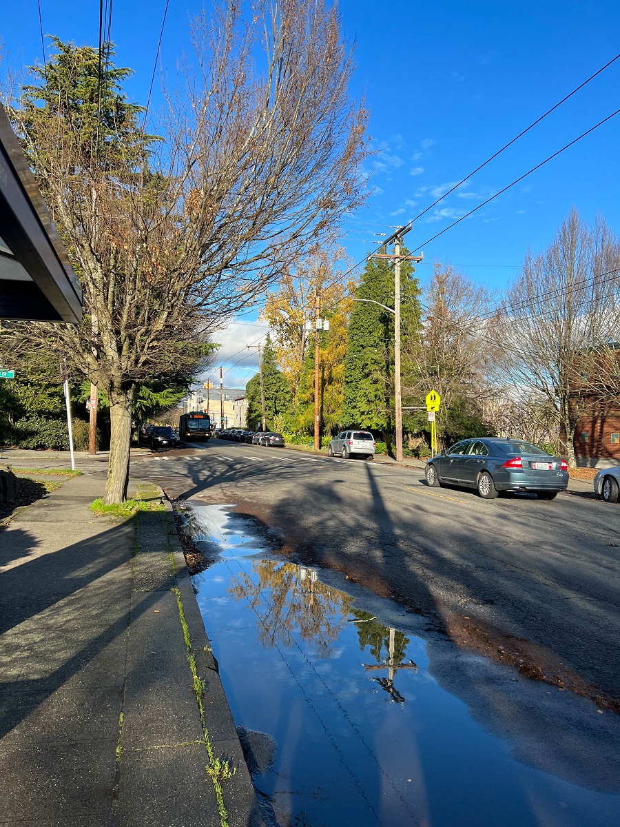
Here’s 19th Avenue East on Capitol Hill, with the street lights already on at 3.53 pm.
There are patches of pale blue in the sky.
a weblog of whereabouts & interests, since 2010
Here’s 19th Avenue East on Capitol Hill, with the street lights already on at 3.53 pm.
There are patches of pale blue in the sky.
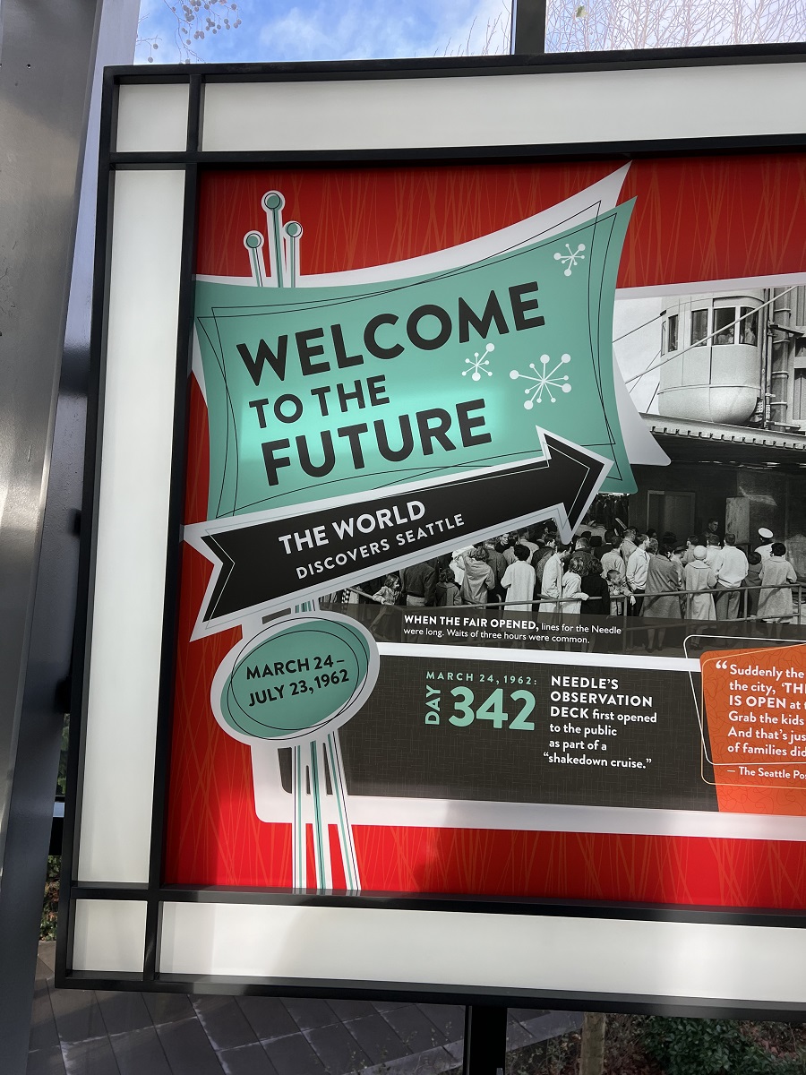
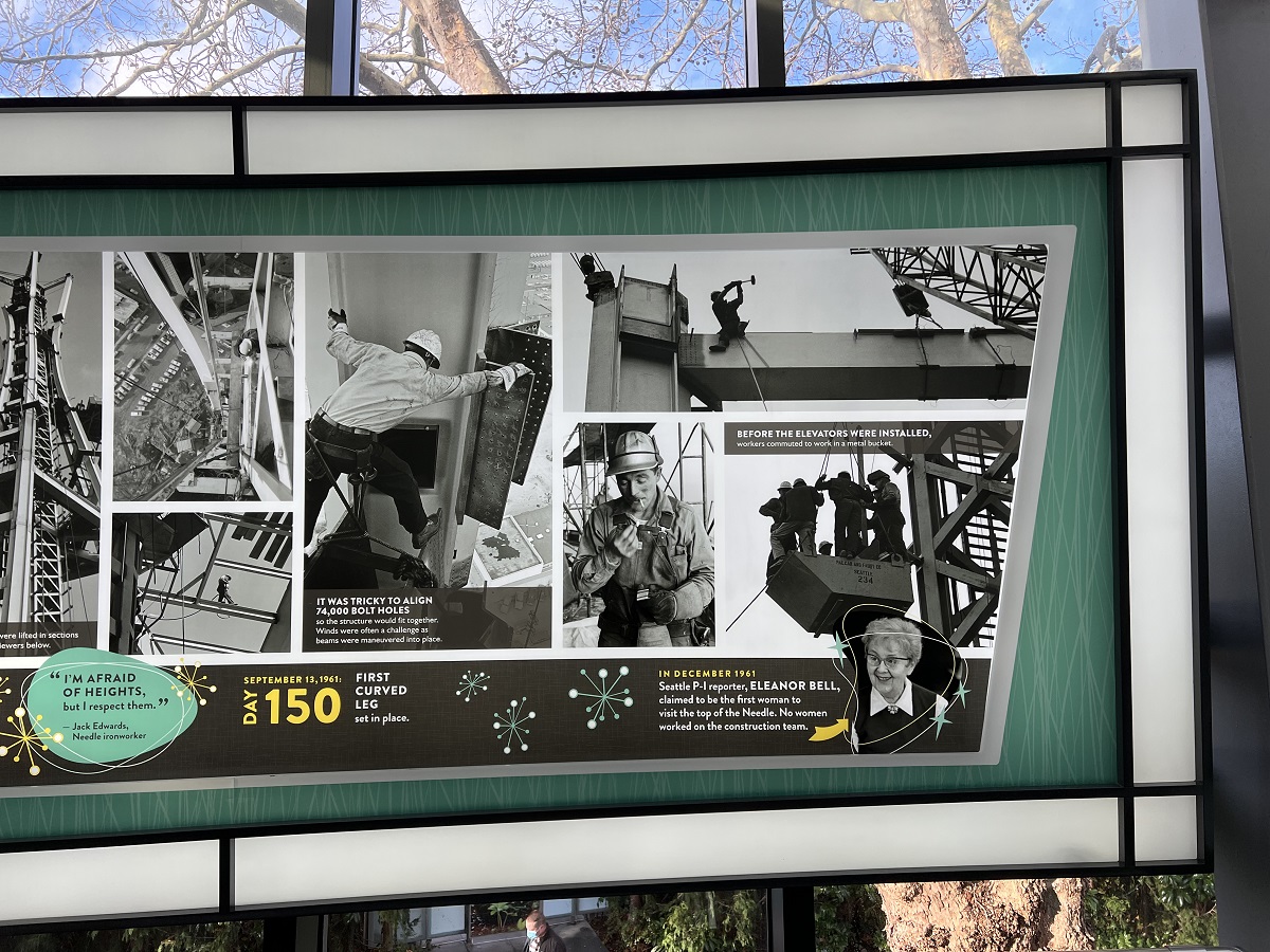
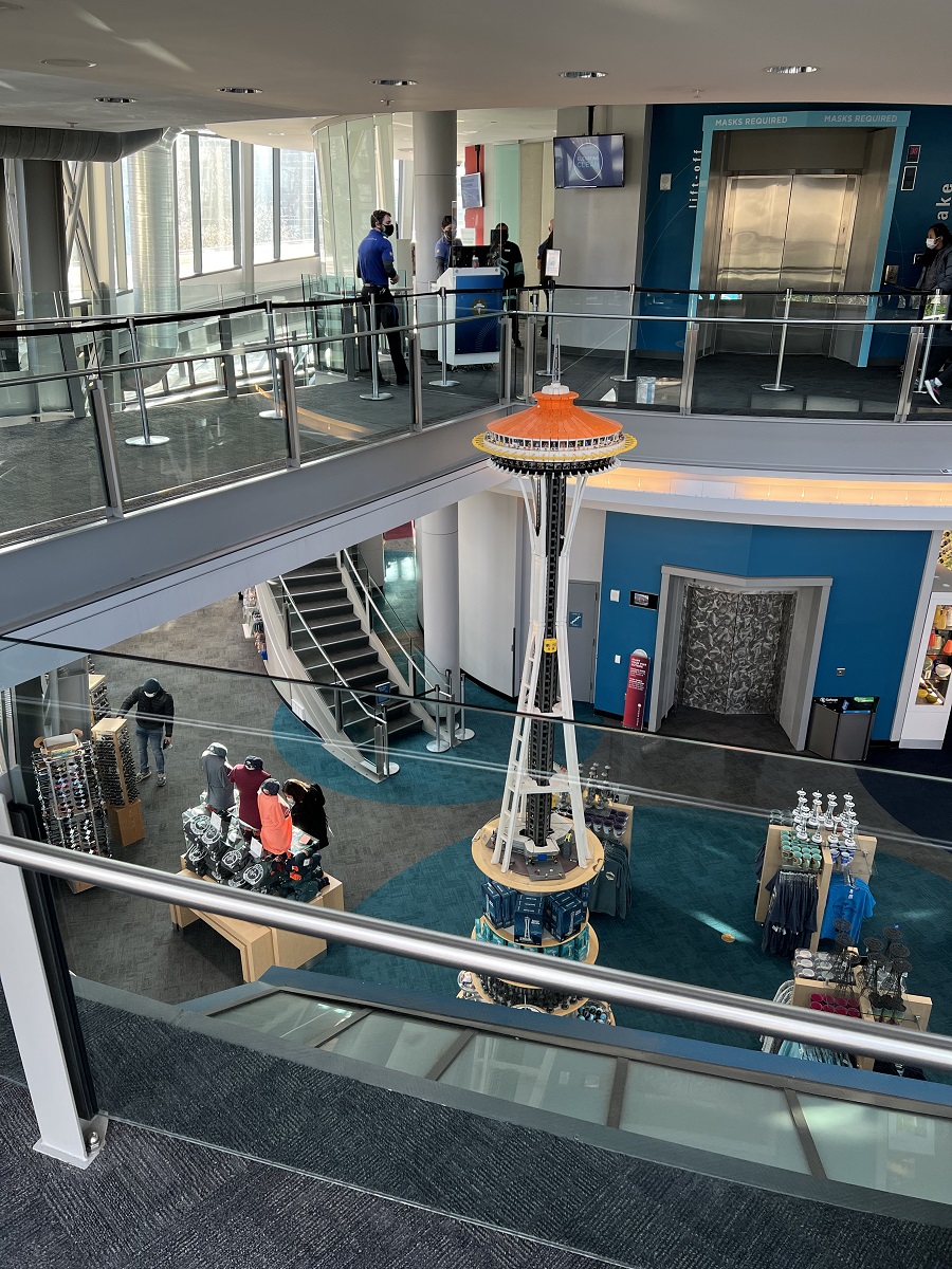
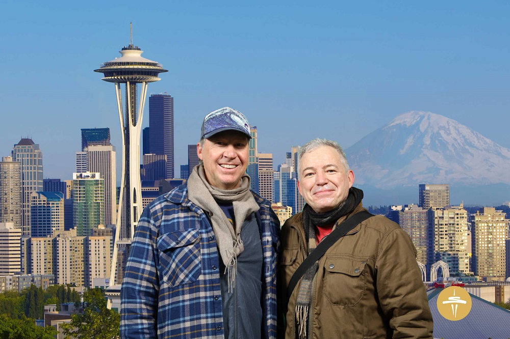
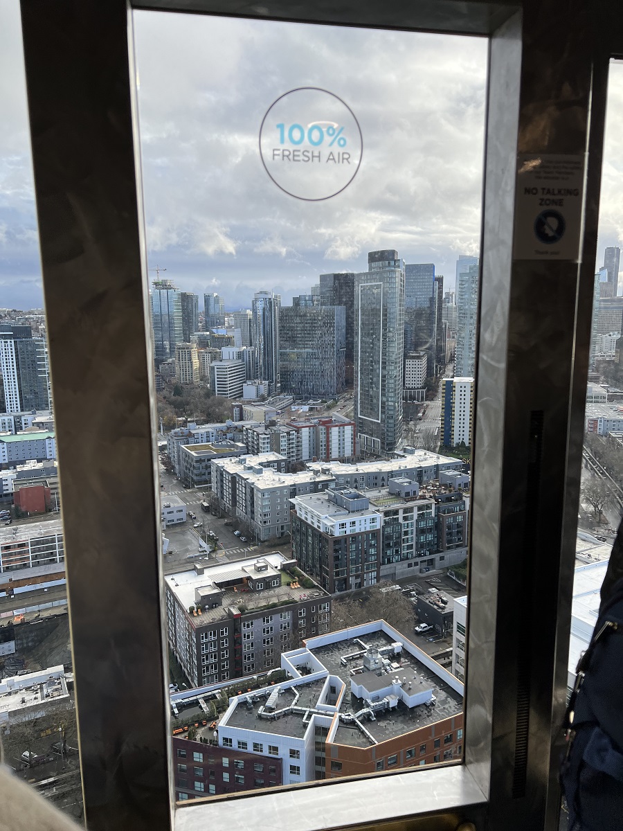
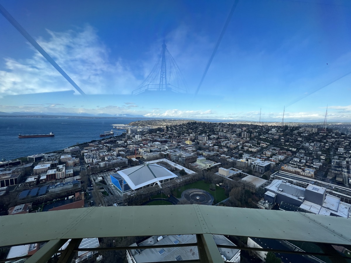
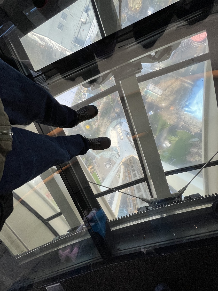
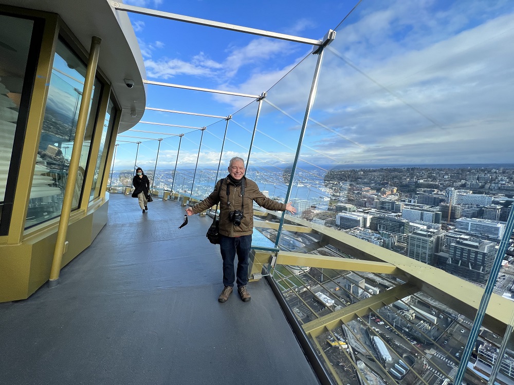
My brother, visiting from California, made for the perfect reason to go and check out the Space Needle again.
The Needle had undergone a refurbishment inside and out, during 2017 and 2018, and I had not been up to the observation deck since that time.
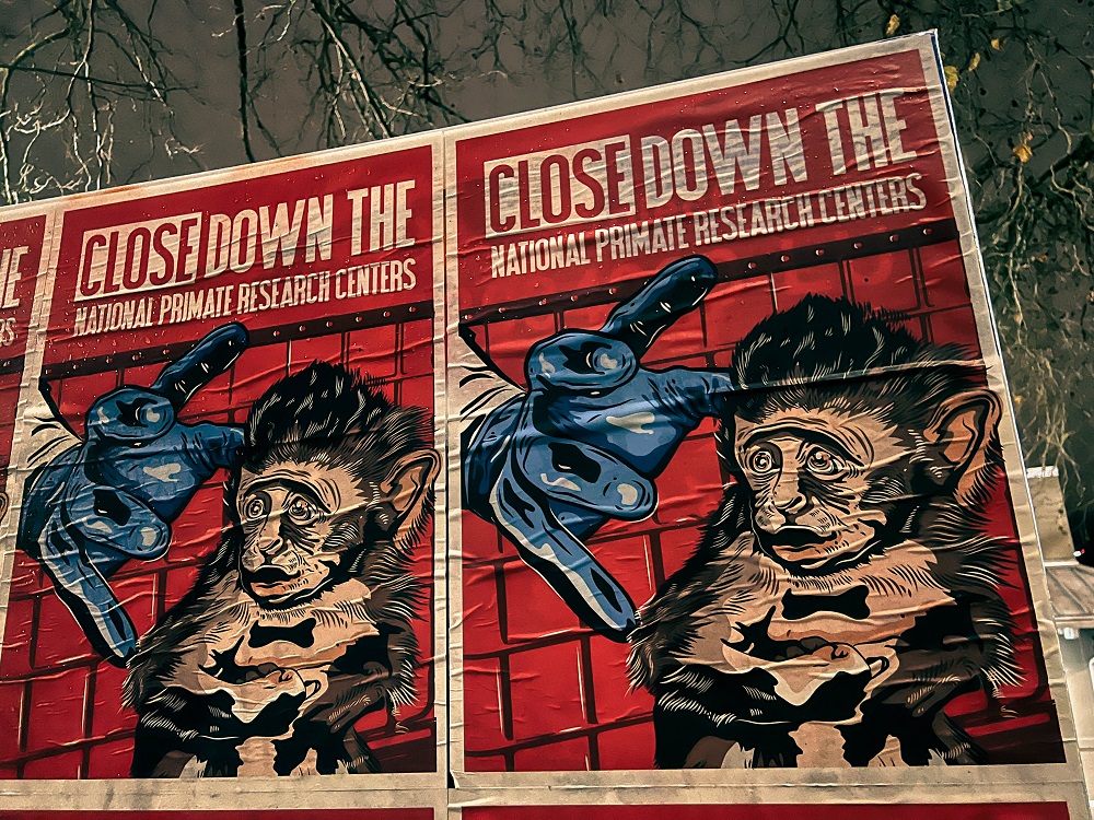
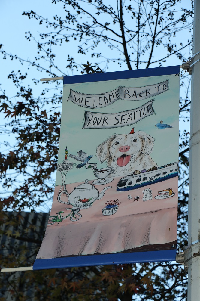
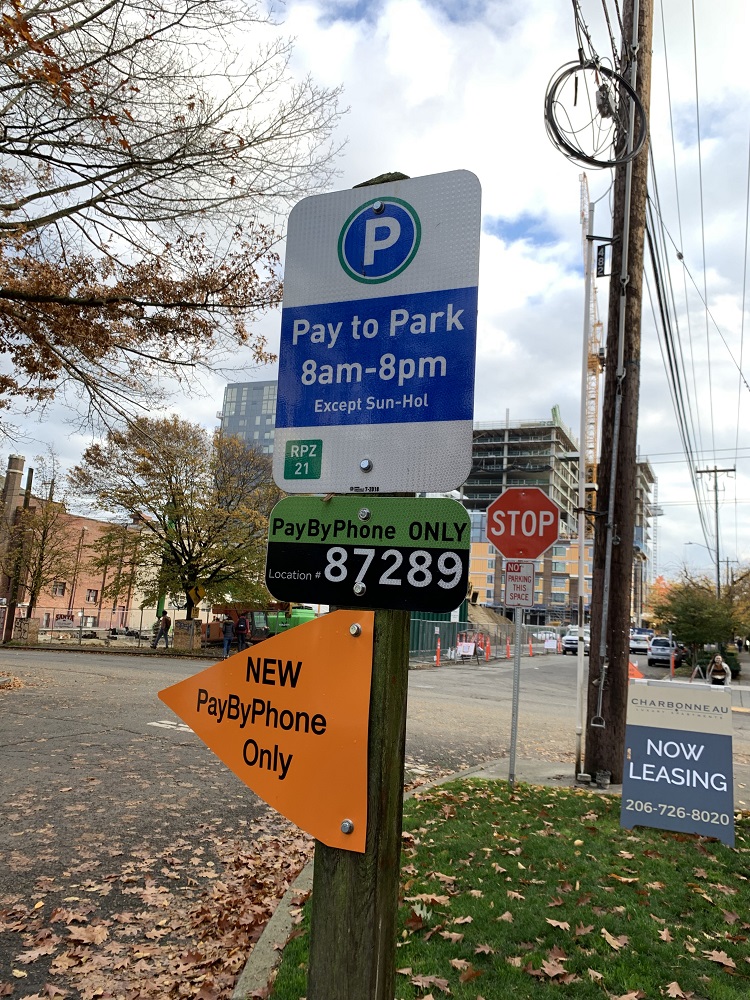
Yay! Vote canvassers will stop knocking on my door for a while, and stop harassing me when I walk along 15th Avenue.
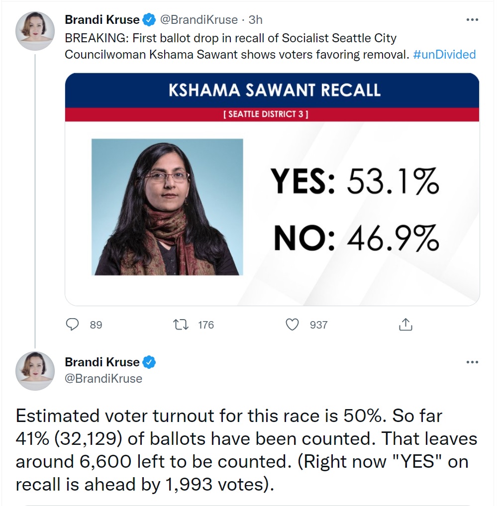
The recall vote for controversial socialist Seattle City Council member Kshama Sawant finally drew to a close today. The vote counting started tonight. (We vote by mail, so people in Seattle’s District 3 have been voting ever since they got their ballots in the mail more than two weeks ago).
There was a flyer in the mail today from Amazon, offering $20 off on $50 of groceries —but with a Thanksgiving expiration date.
It’s worth a try, I thought, and ran out to the Amazon Fresh store for stuff I needed anyway. But no, there was a red error message on my smart shopping cart: the coupon had expired.
It was sunny and ‘cold’ (I guess one could say ‘brisk’) today with a high of only 42°F (5.5°C).
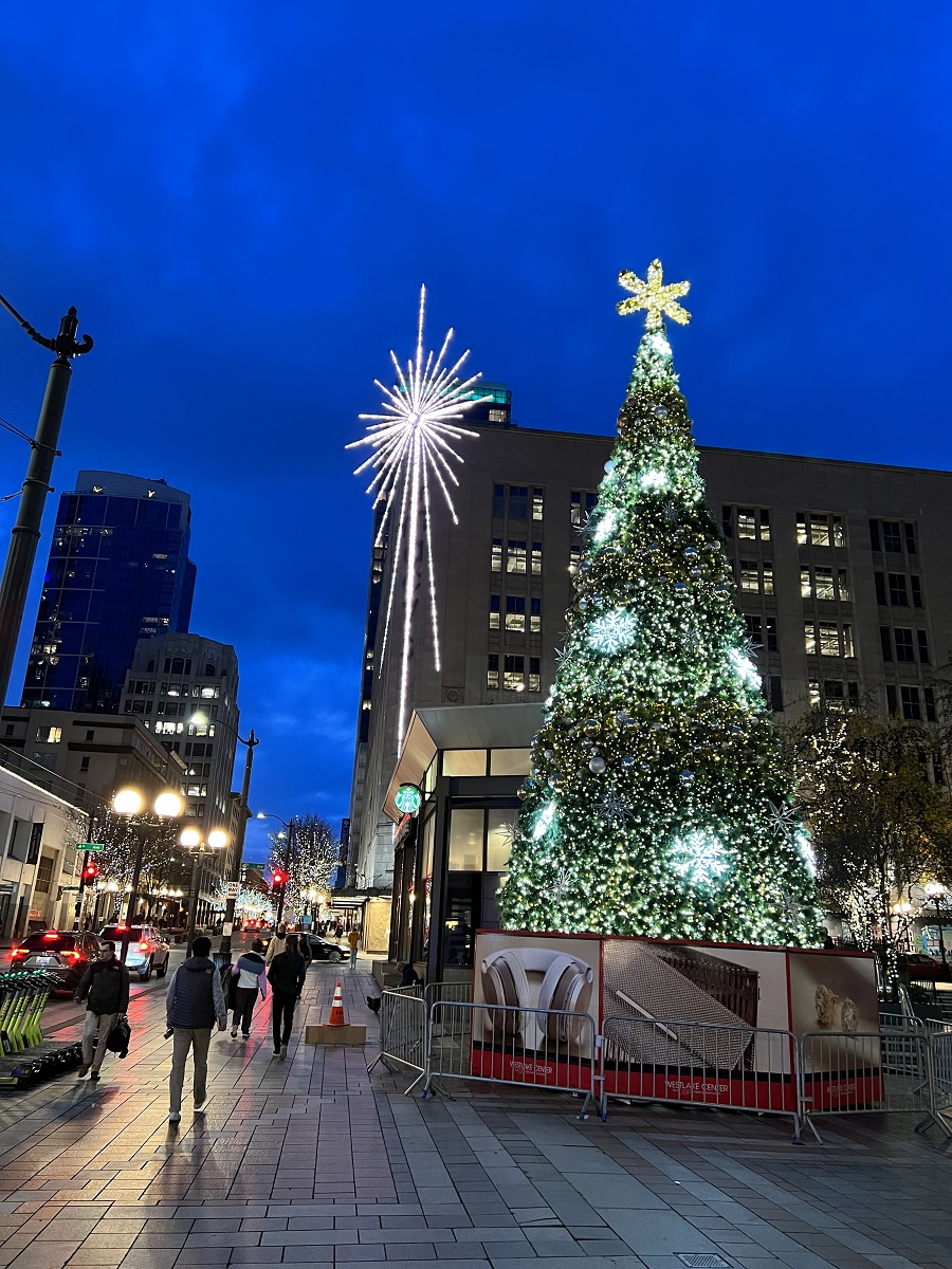
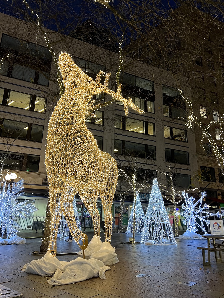
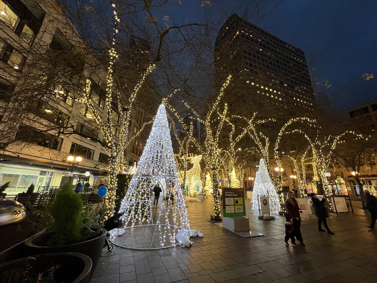
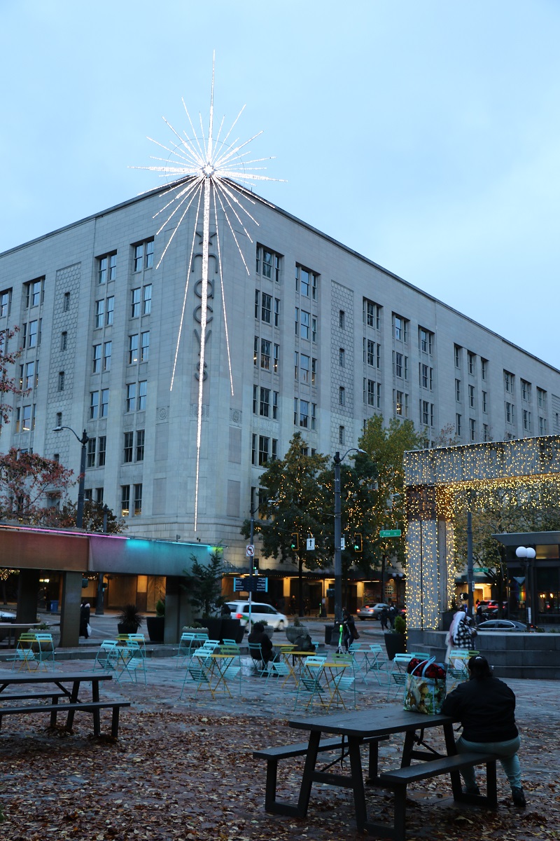
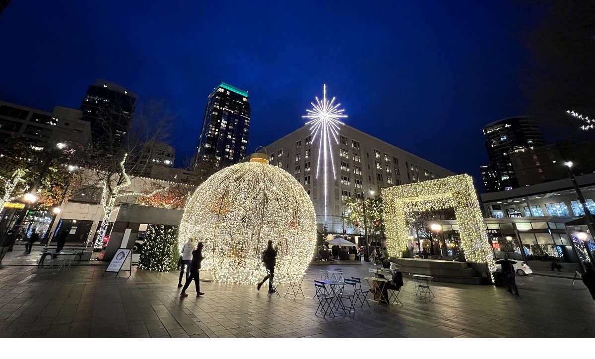 The Christmas tree is up downtown at Westlake Center.
Ours is not quite as tall as the Rockefeller Center Christmas tree (in New York City), but that’s OK. Our tree is complemented by the star on the Macy’s building across the street behind it, and other Christmas lights nearby.
Hey, it’s December.
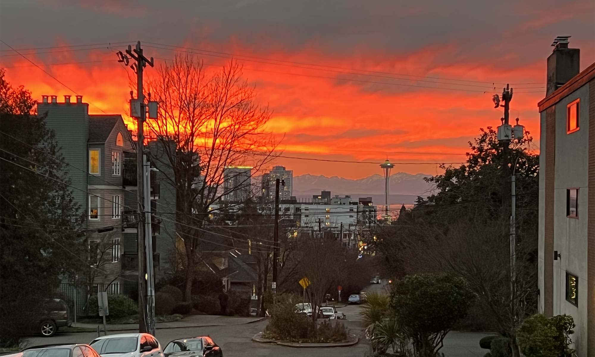
The sands of time for 2021 are running out rapidly.
Seattleites have to hang in there a few more weeks before the black nights that come so quickly, ease up and become shorter again.
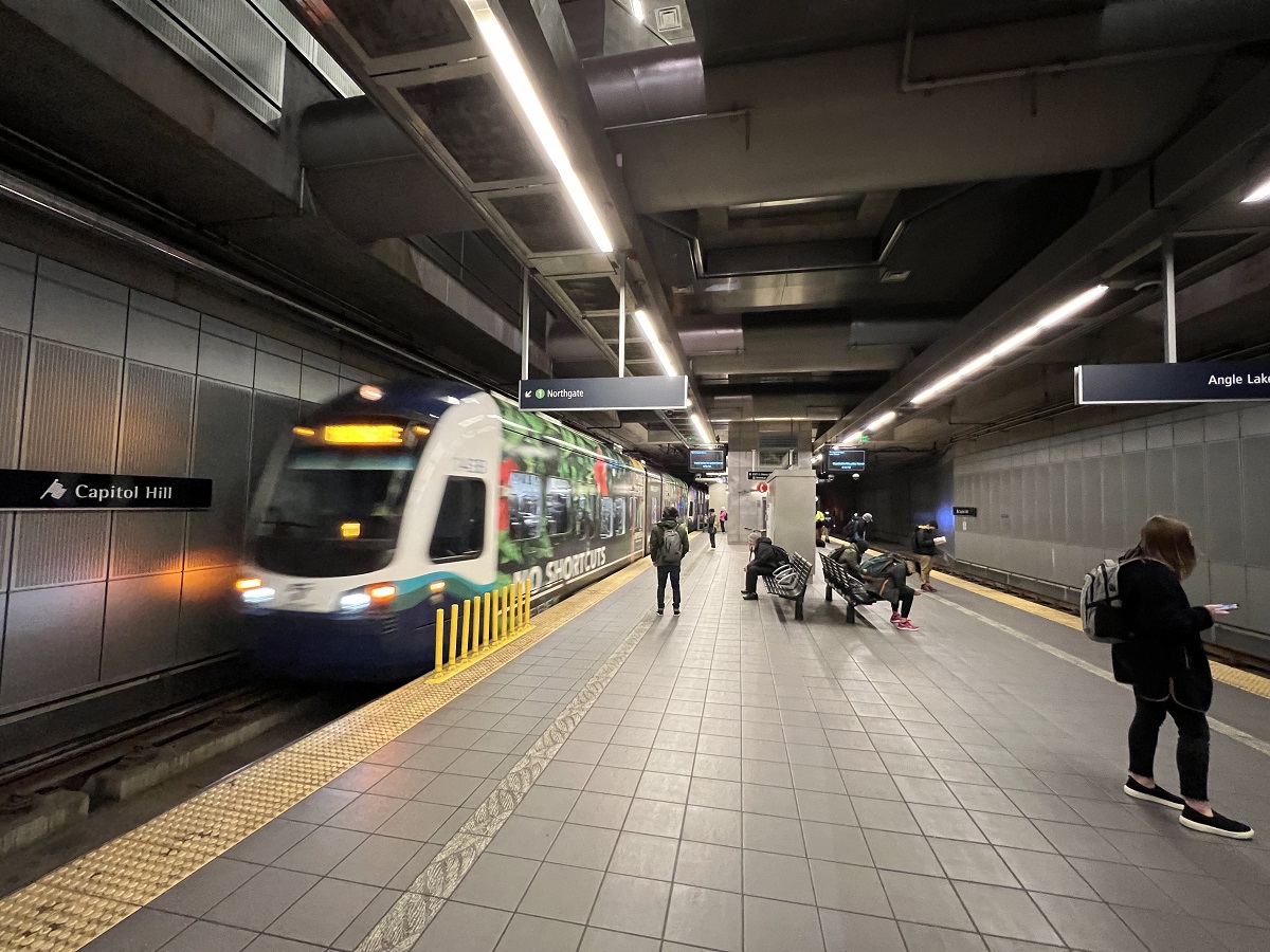
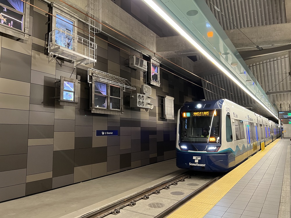
It was already dark when I walked down to the Capitol Hill light rail station tonight.
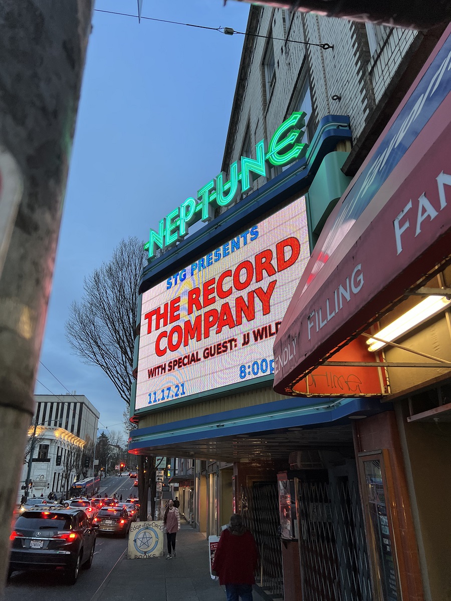
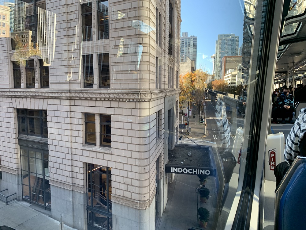
From there I took the train to the U District stop to the Neptune Company record store, just a hundred steps away from the train station exit.
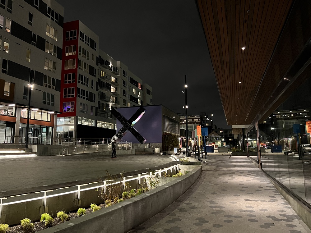
Top to bottom:
Northbound train at Capitol Hill station.
Southbound platform, U District Station.
Southbound train, U District station.
Capitol Hill station plaza.
Here comes the No 12 bus on 19th Avenue.
I’m on my way to the barber shop in First Hill.
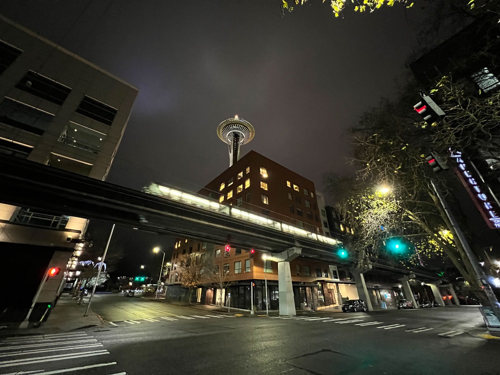
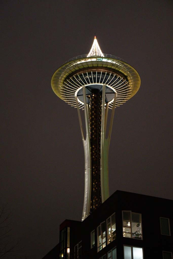
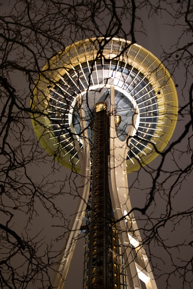
It rained most of the day, but it cleared up as night fell.
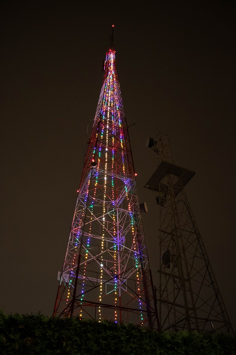
I made a run down to the Space Needle to take a few pictures of the ‘Christmas tree’ on it.
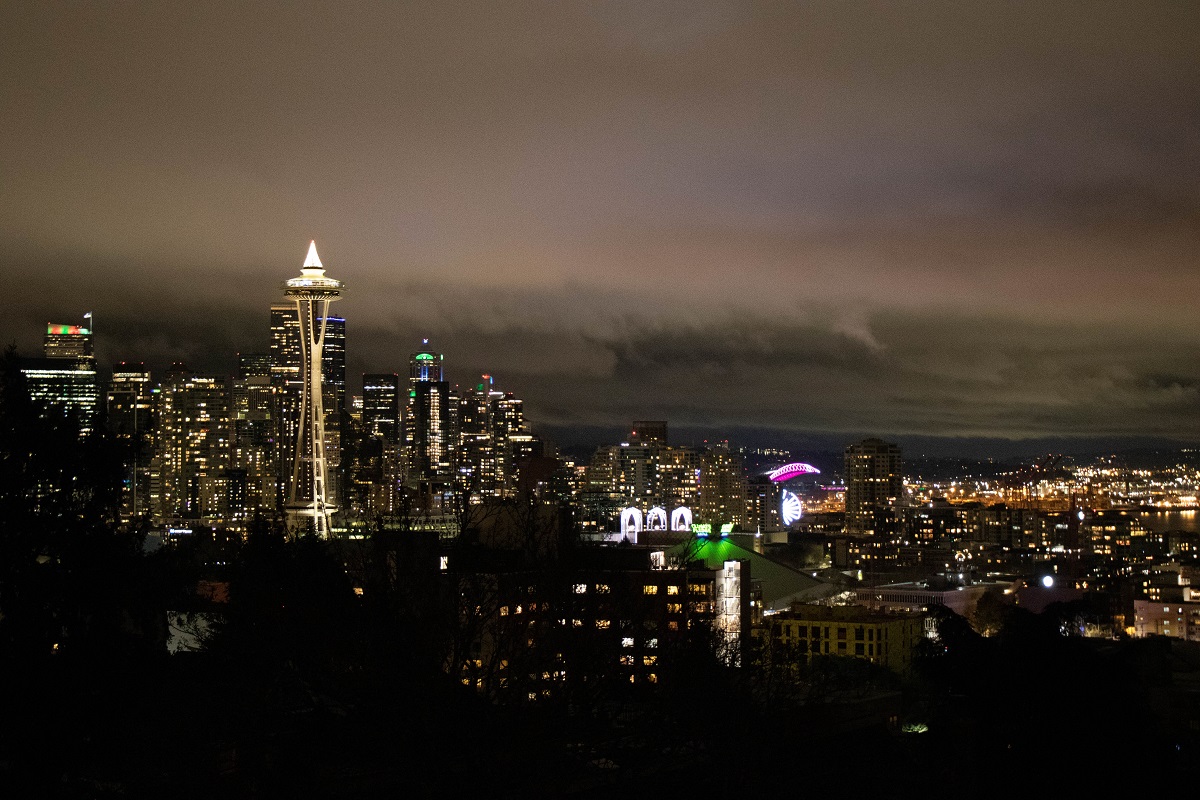
I went up Queen Anne hill for a few pictures, as well.
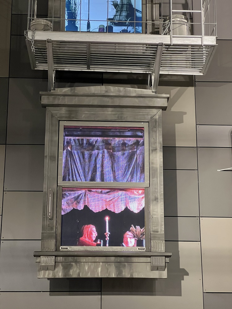
The Neptune theatre in U District is now officially 100 years old.
I took this picture last night as I made my way back to the light rail station around the corner.
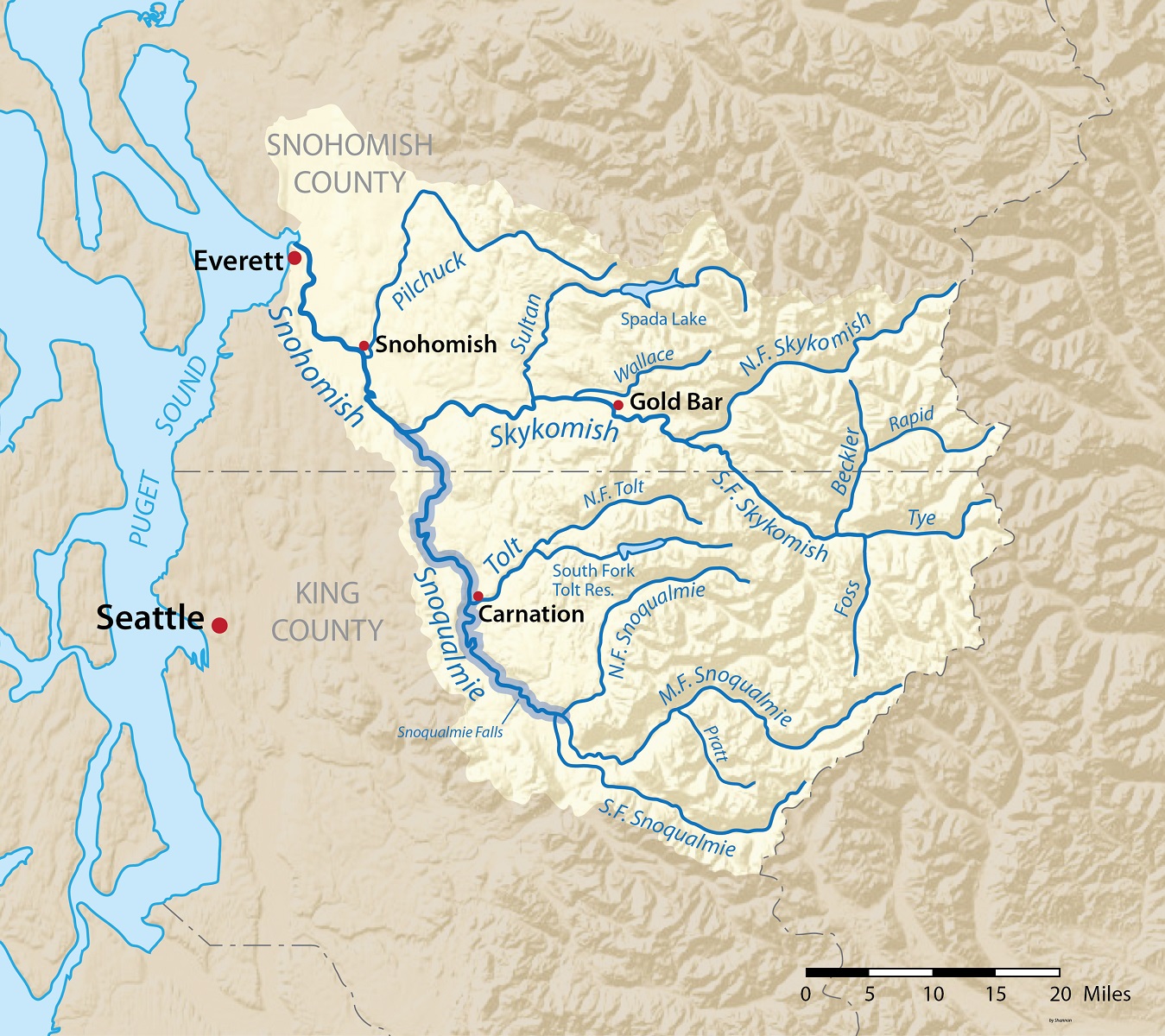
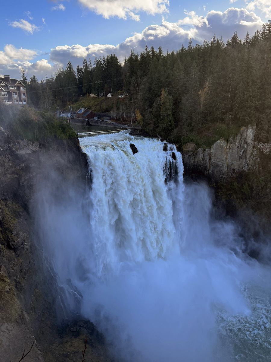
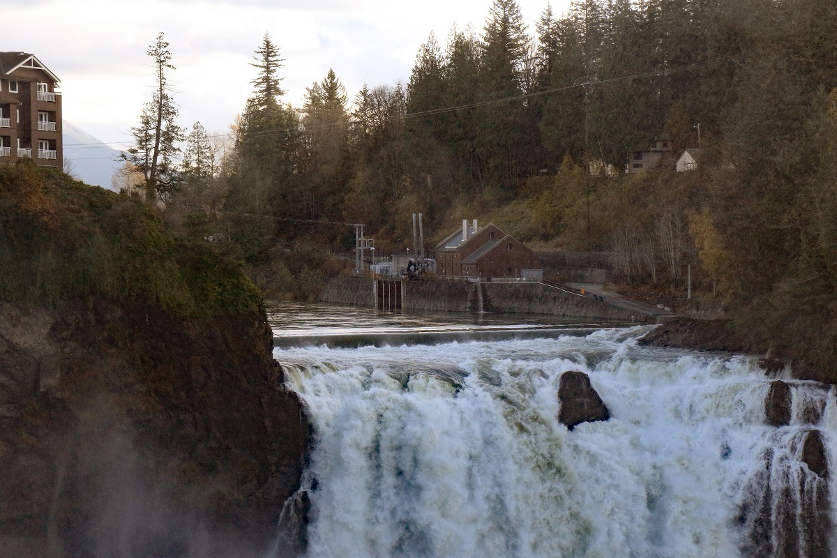
I drove out to Snoqualmie Falls today.
The falls are only some 30 miles east from Seattle as the crow flies, but a 40-minute drive.
Snoqualmie Falls has a 268-foot (82 m) drop, and is by far the most famous waterfall in Washington State. It draws a million visitors a year.
[iPhone 13 Pro picture, standard lens]
[Canon EOS 7D Mk II, telephoto lens]
[iPhone 13 Pro, Wide-angle lens]
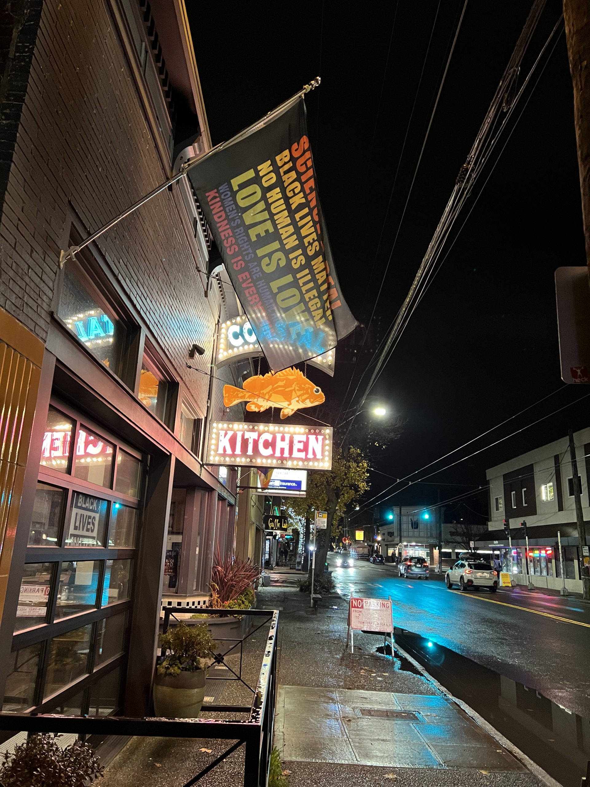
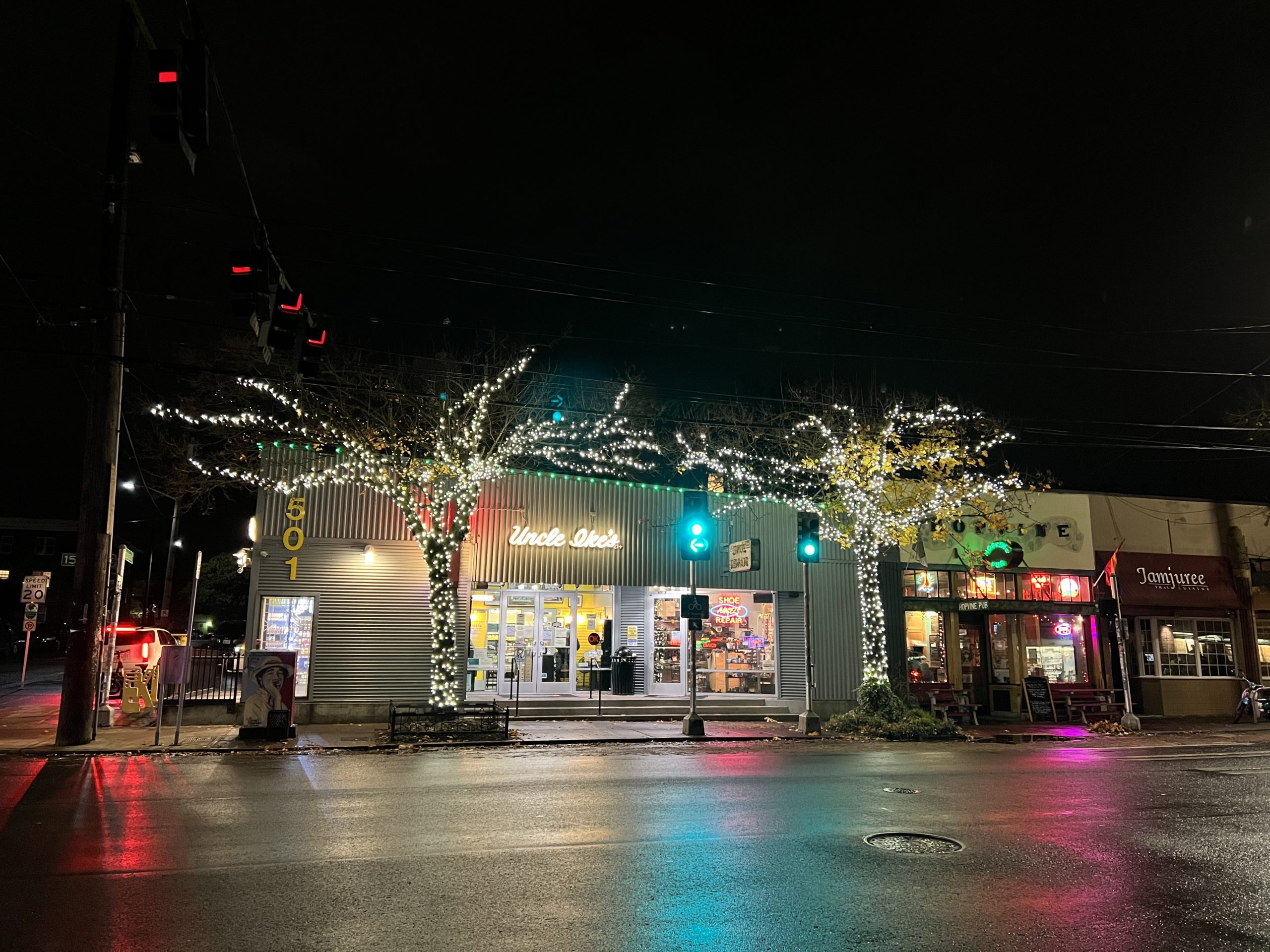
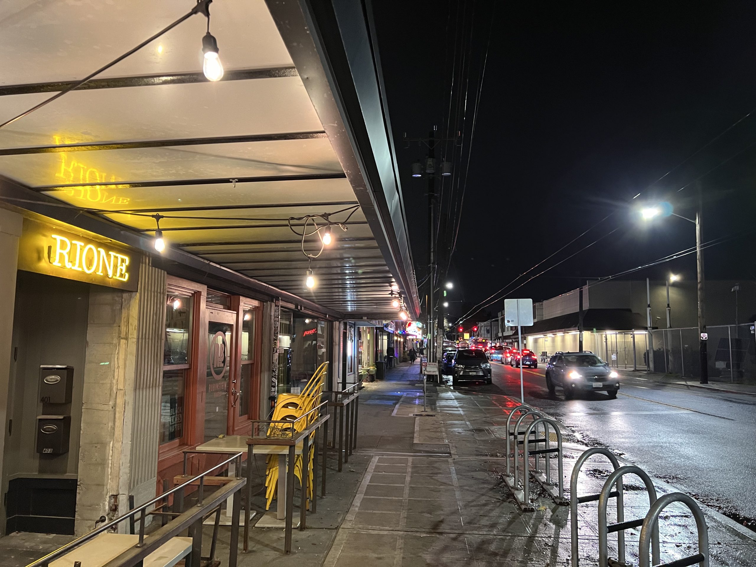
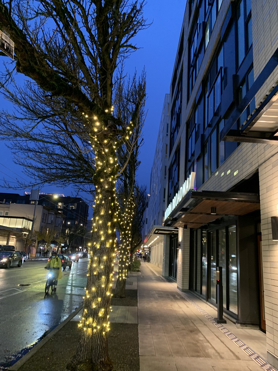
I took these pictures on 15th Avenue here on Capitol Hill tonight with my iPhone 13Pro. Perfectly lit and sharp night pictures are really hard to take with my big Canon EOS 7D Mk II DSLR camera— even when using its automatic program mode.
Here’s how Apple described what happens in ‘night mode’ when it debuted on iPhone11 (it’s a lot!):
‘Night mode comes on automatically when needed — say, in a candlelit restaurant. When you tap the shutter, the camera takes multiple images while optical image stabilization steadies the lens.
Then the camera software goes to work. It aligns images to correct for movement. It discards the sections with too much blur and fuses sharper ones. It adjusts contrast so everything stays in balance. It fine‑tunes colors so they look natural. Then it intelligently de‑noises and enhances details to produce the final image.
It all adds up to night shots that stand apart — with more detail, less noise, and an authentic sense of time and place’.
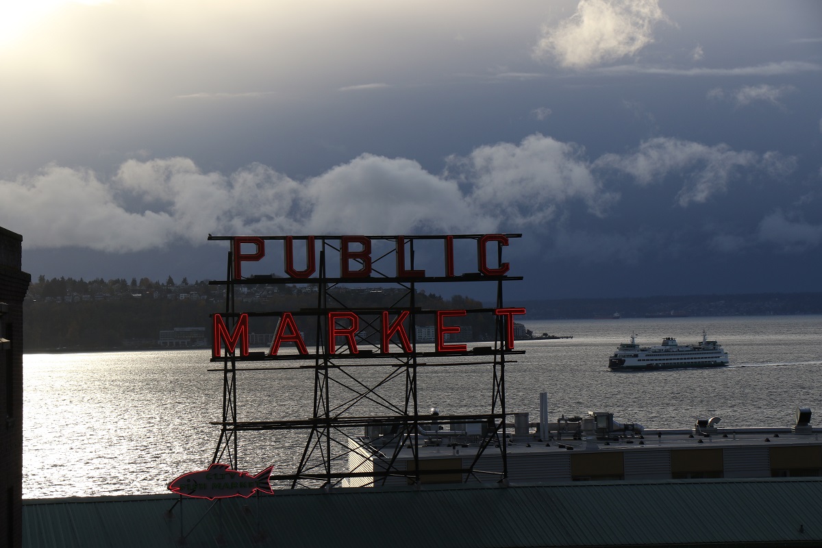
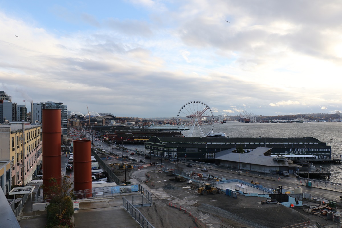
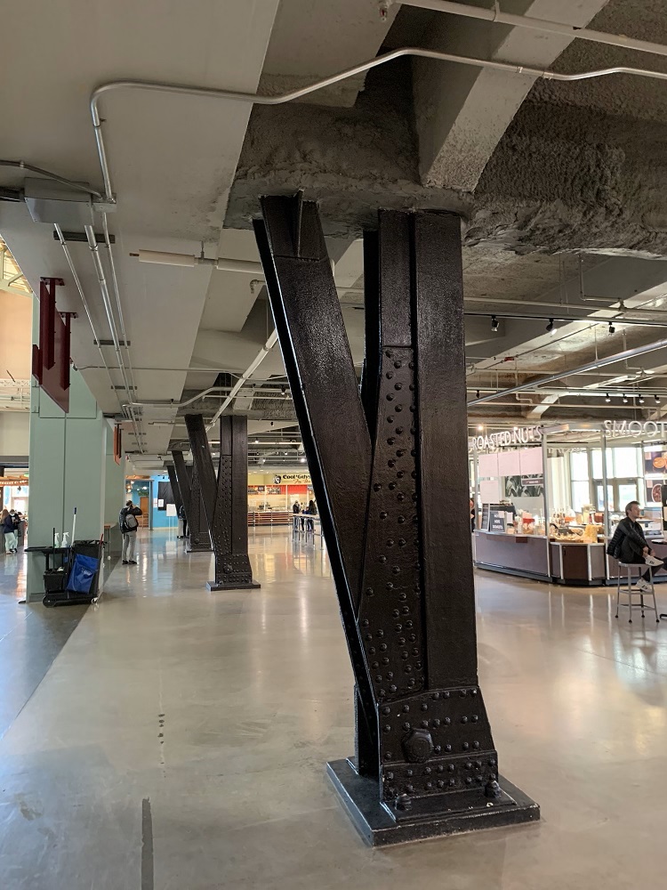
There was a break in the weather by 3 this afternoon, and I went down to Pike Place Market just to get out of the house for a while.
It is skull cap, scarf and glove time: 44 °F (7 °C) with a little wind chill.
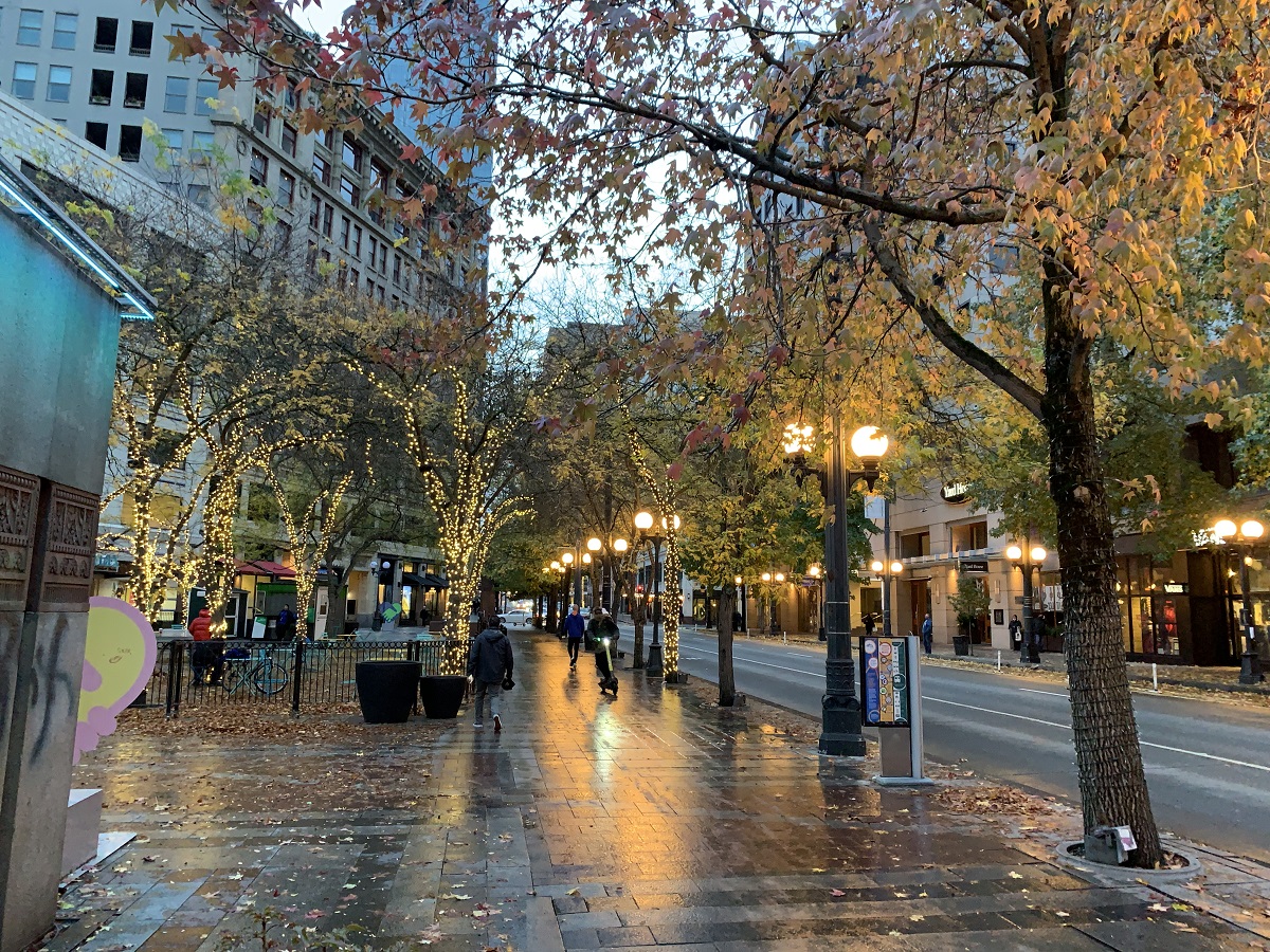
Sunday was a beautiful blue-sky day.
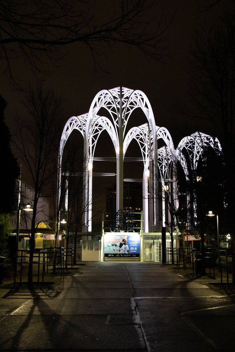
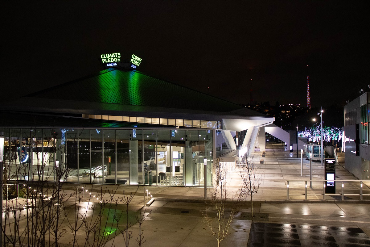
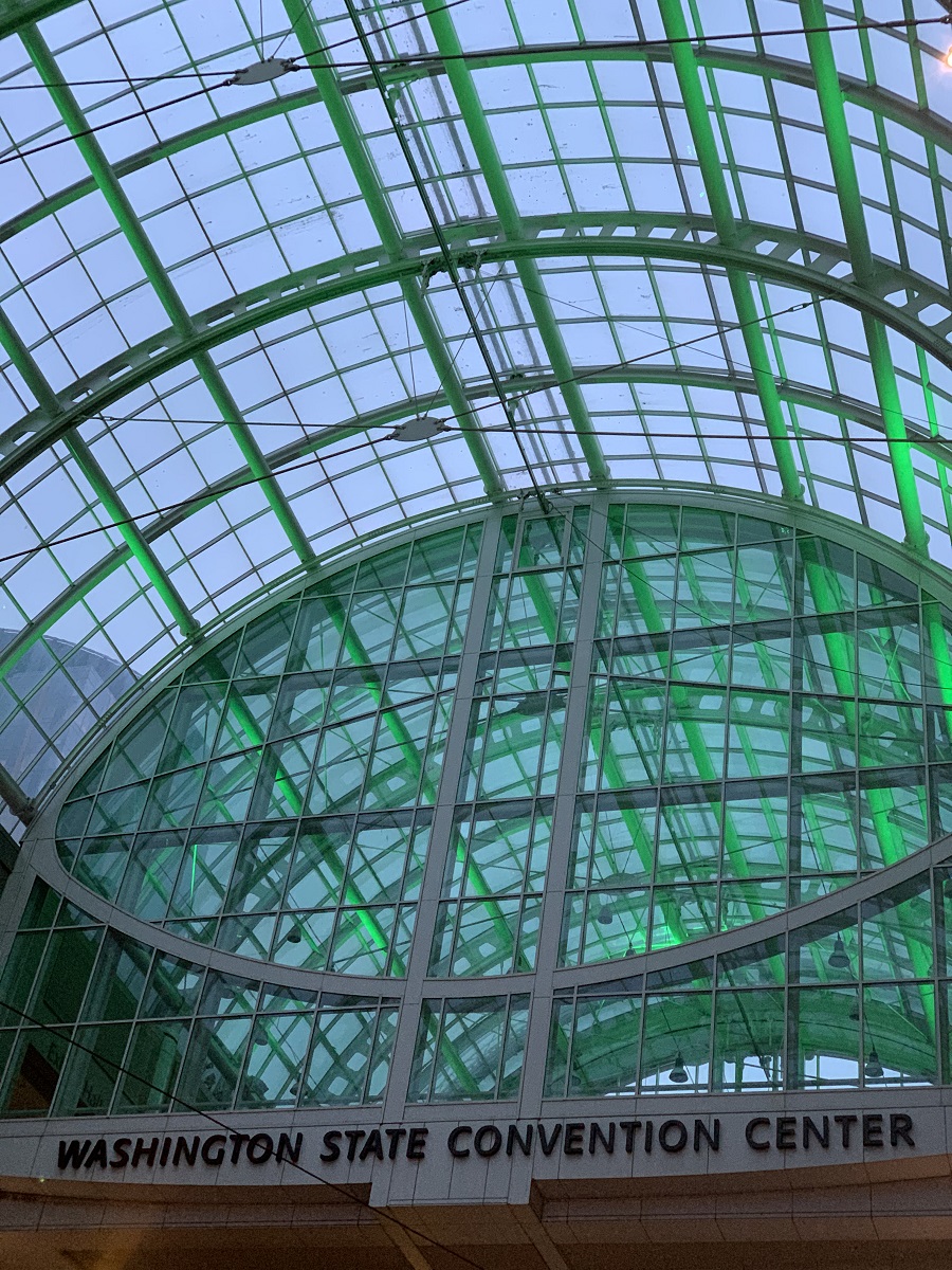
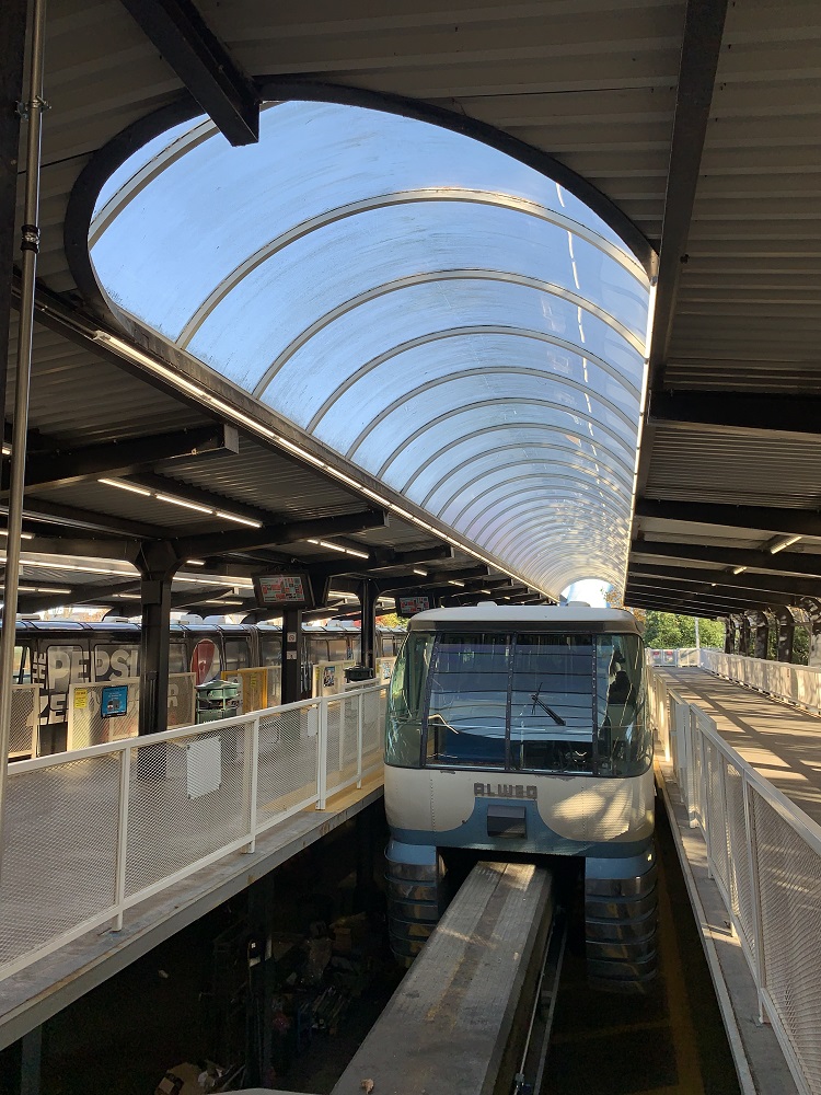
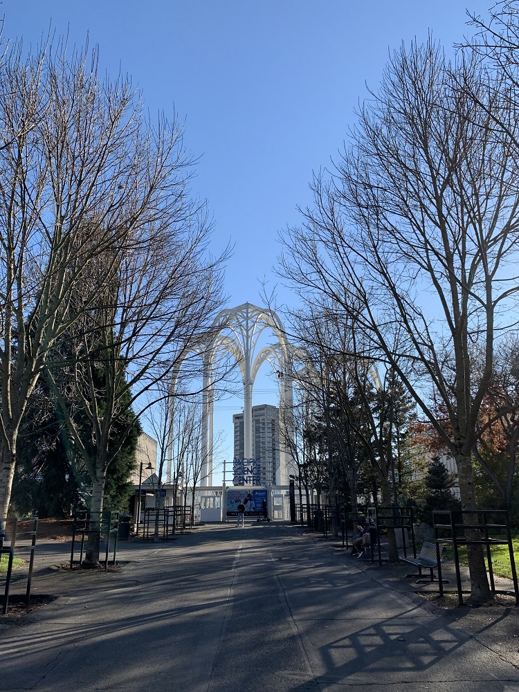
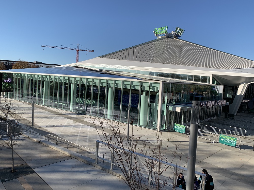
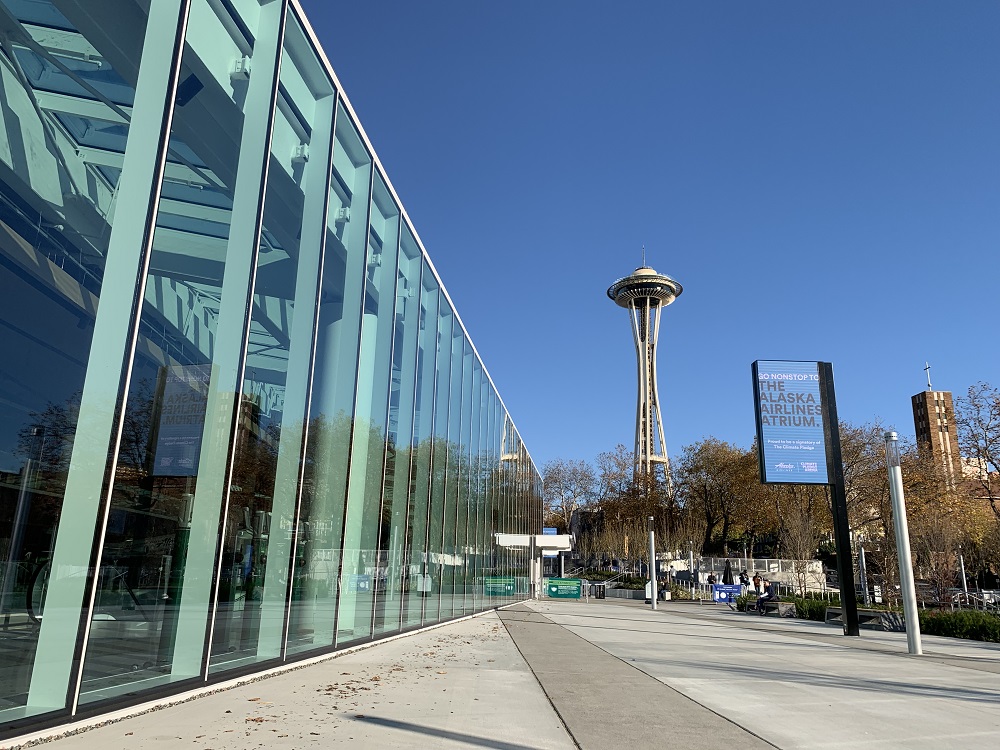
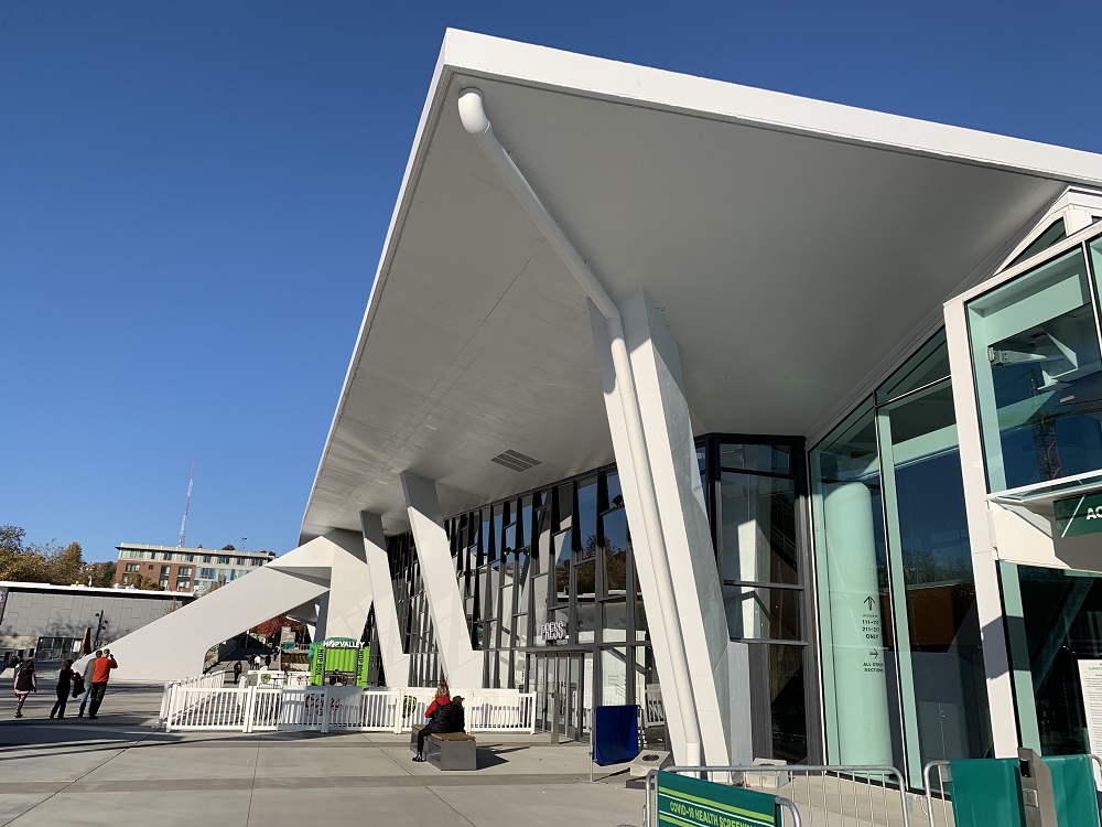
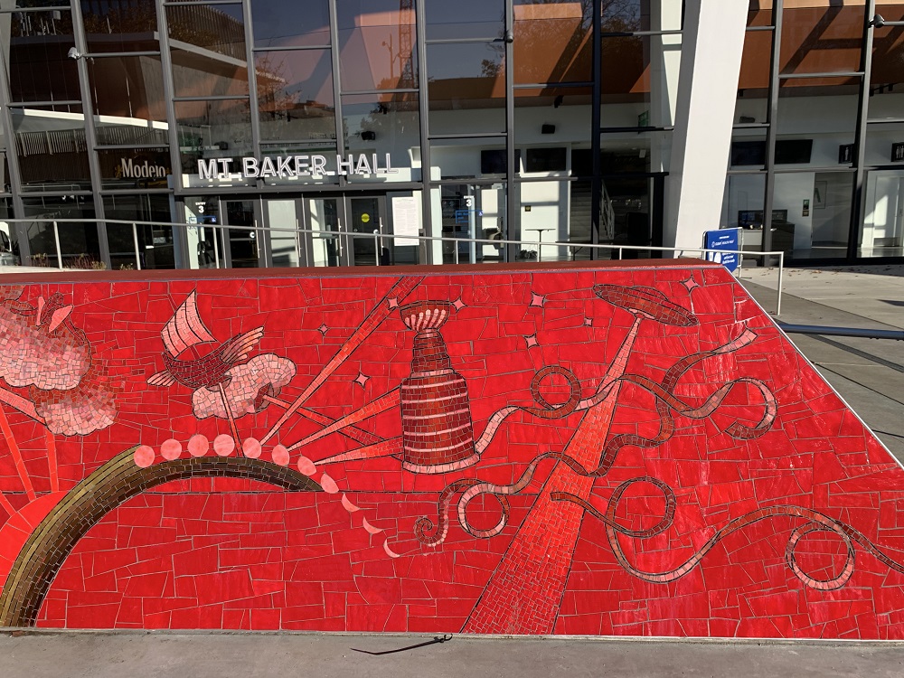
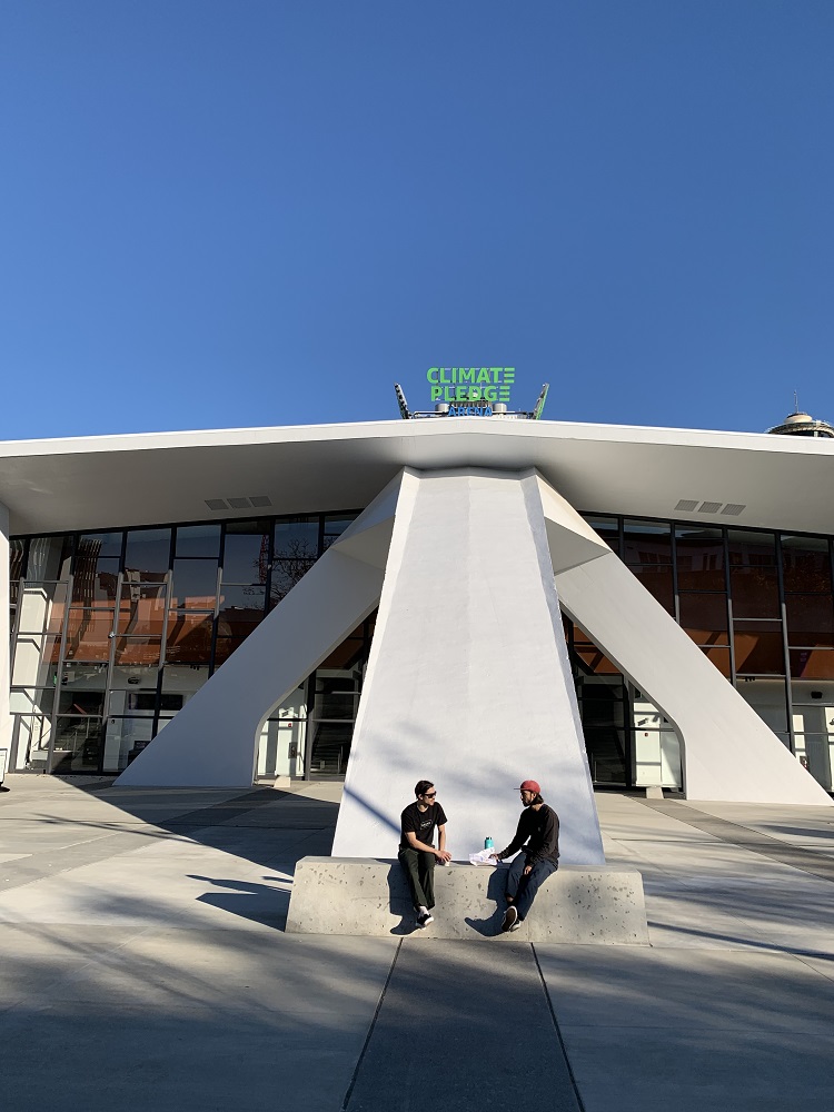
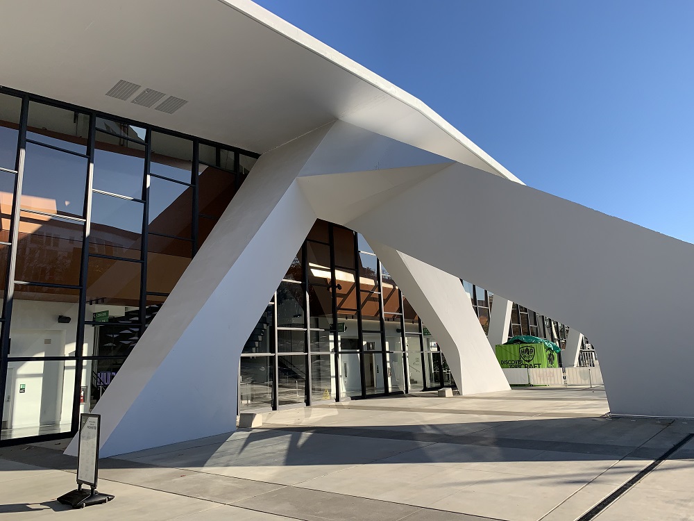
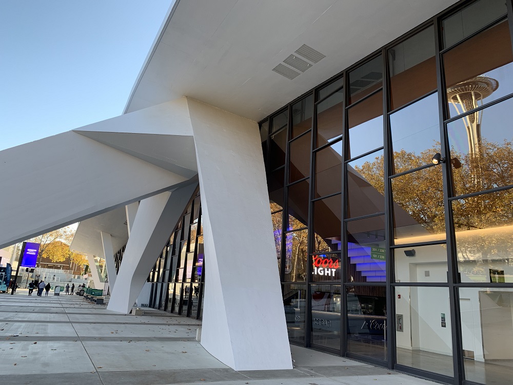
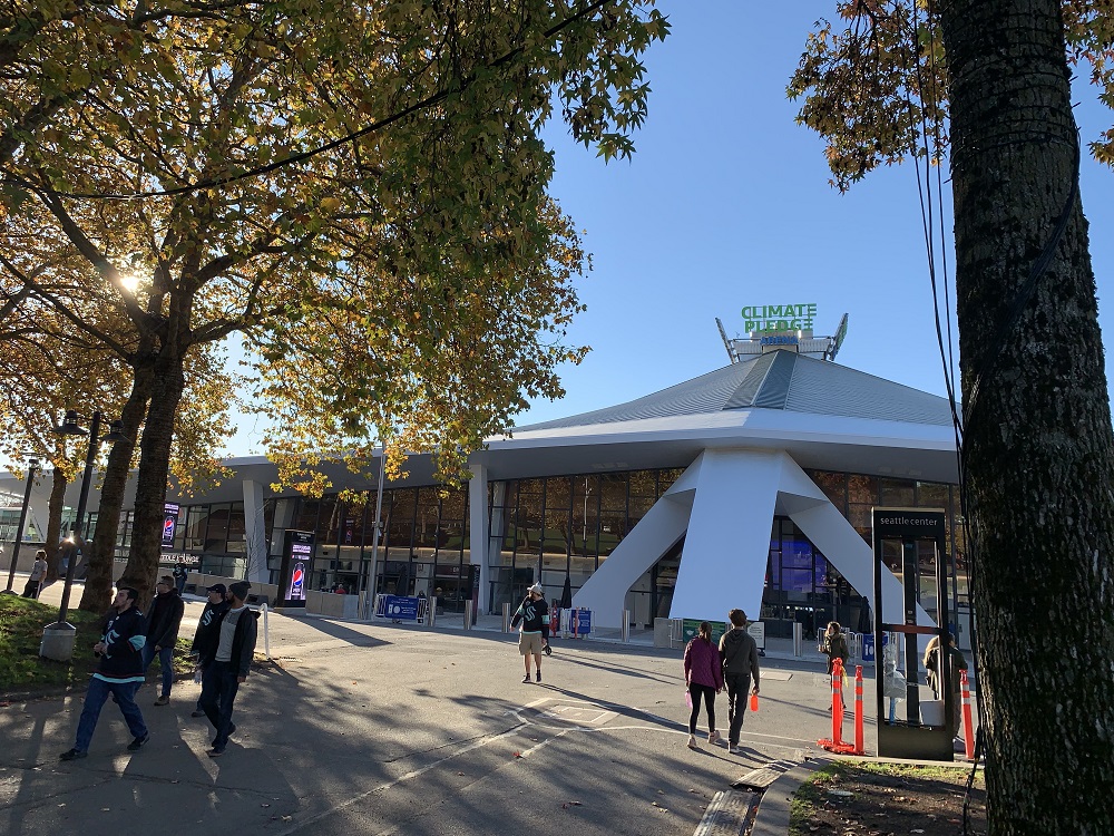
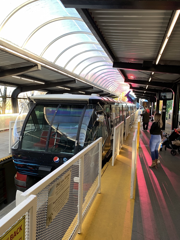
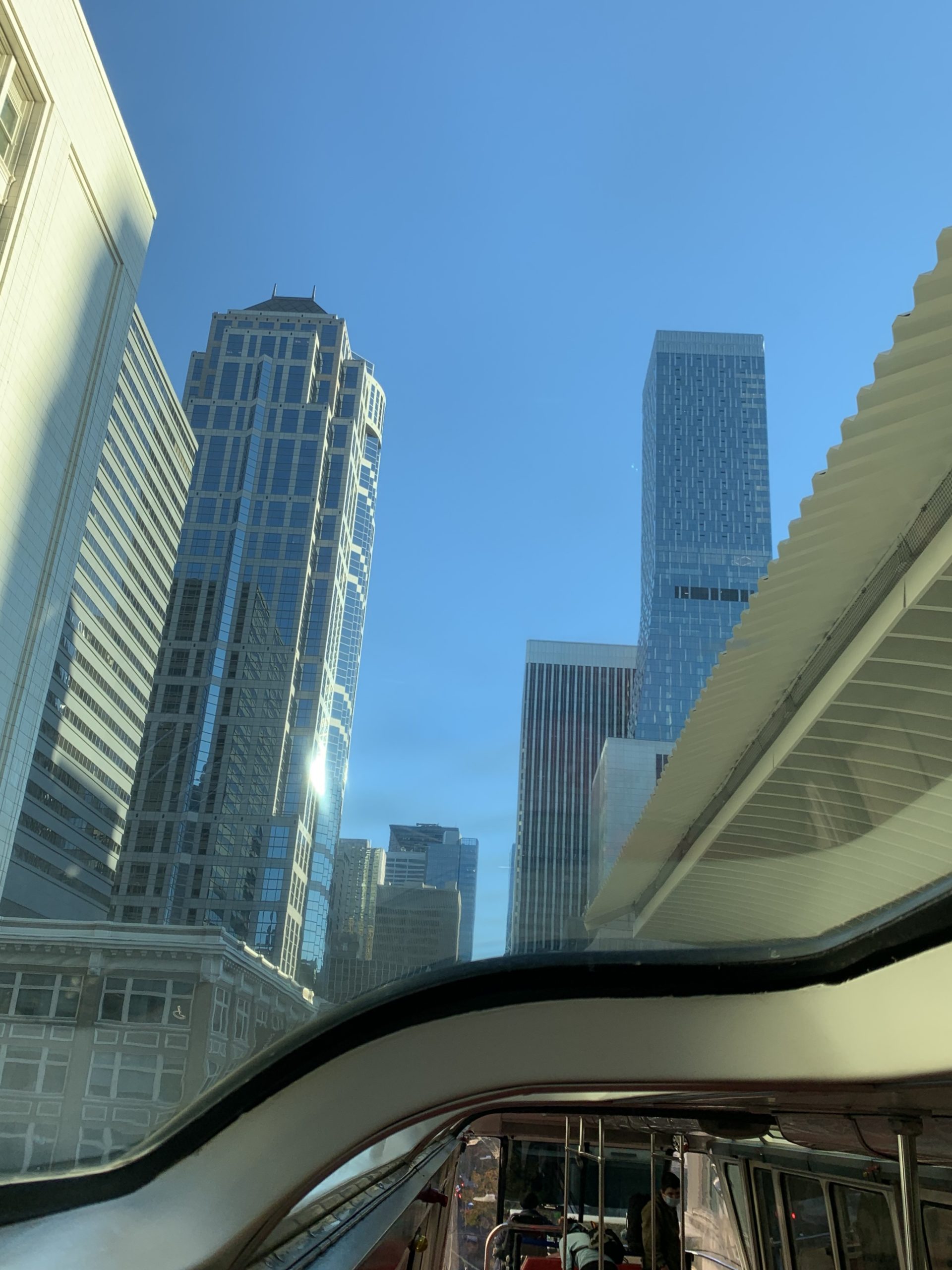
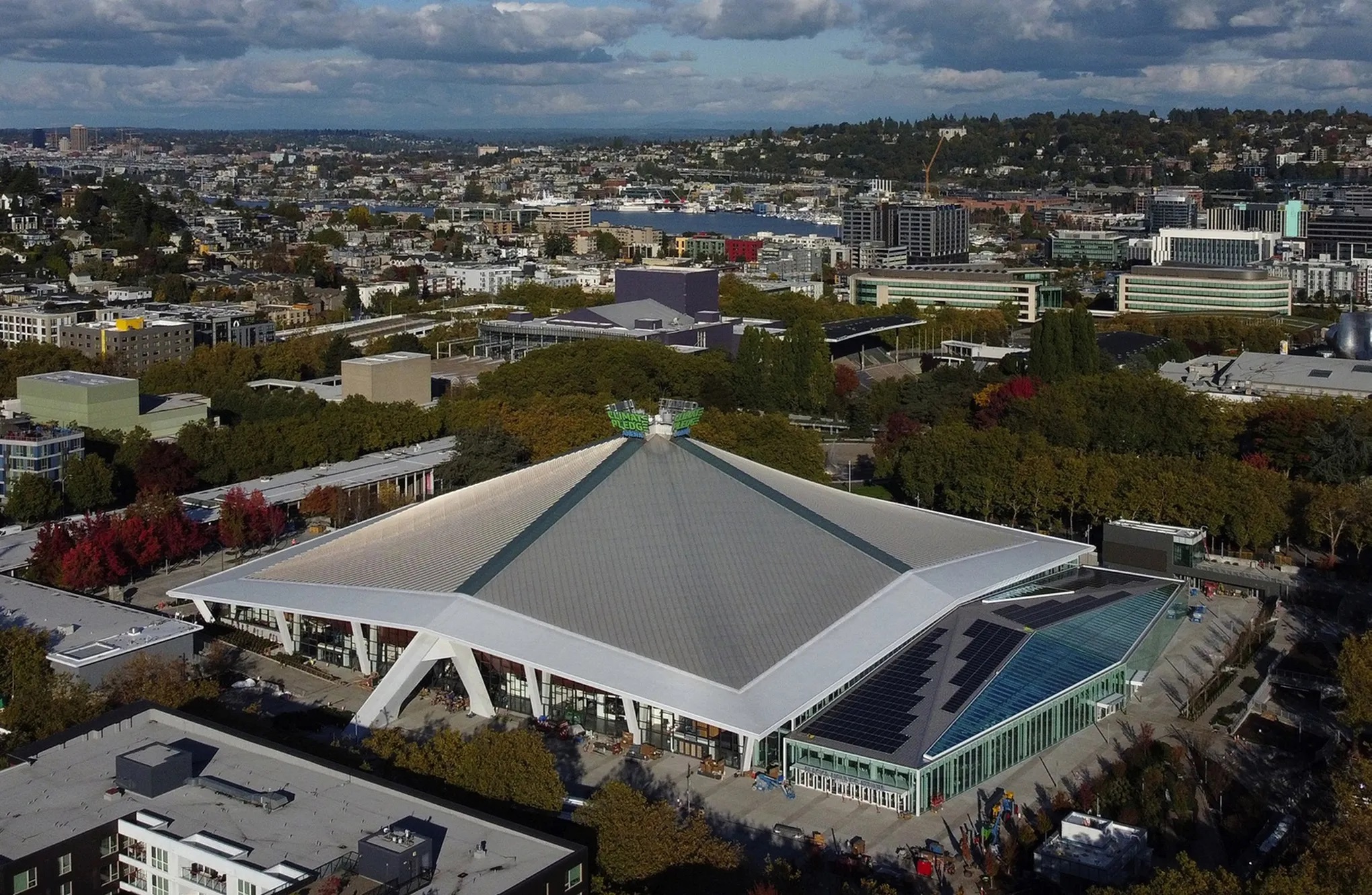
I took the No 10 bus to Westlake Center, and from there, the Monorail to the Space Needle, so that I could walk around Climate Pledge Arena.
I took the No 12 bus to the hairdresser today. We only got to 51°F (11°C) today, but the rain had stopped, and I walked back home from there. Here are a few pictures.
It has been a good day for pluviophiles: it rained all day around Puget Sound. We had recorded 1.58 in. by early evening here in the city, says NWS Seattle @NWSSeattle on Twitter.
Update Fri 10/29: The final numbers are in. For Sea-Tac, it was a daily record-setting reading of 1.99 in. on Thursday. It was the wettest October day since the all-time wettest day in Seattle history (5.02 in. on Oct. 20th, 2003).
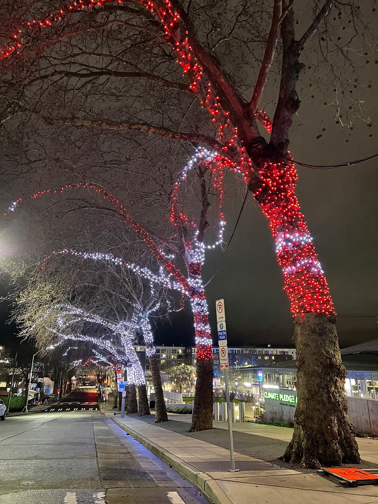
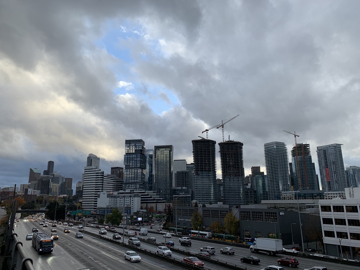
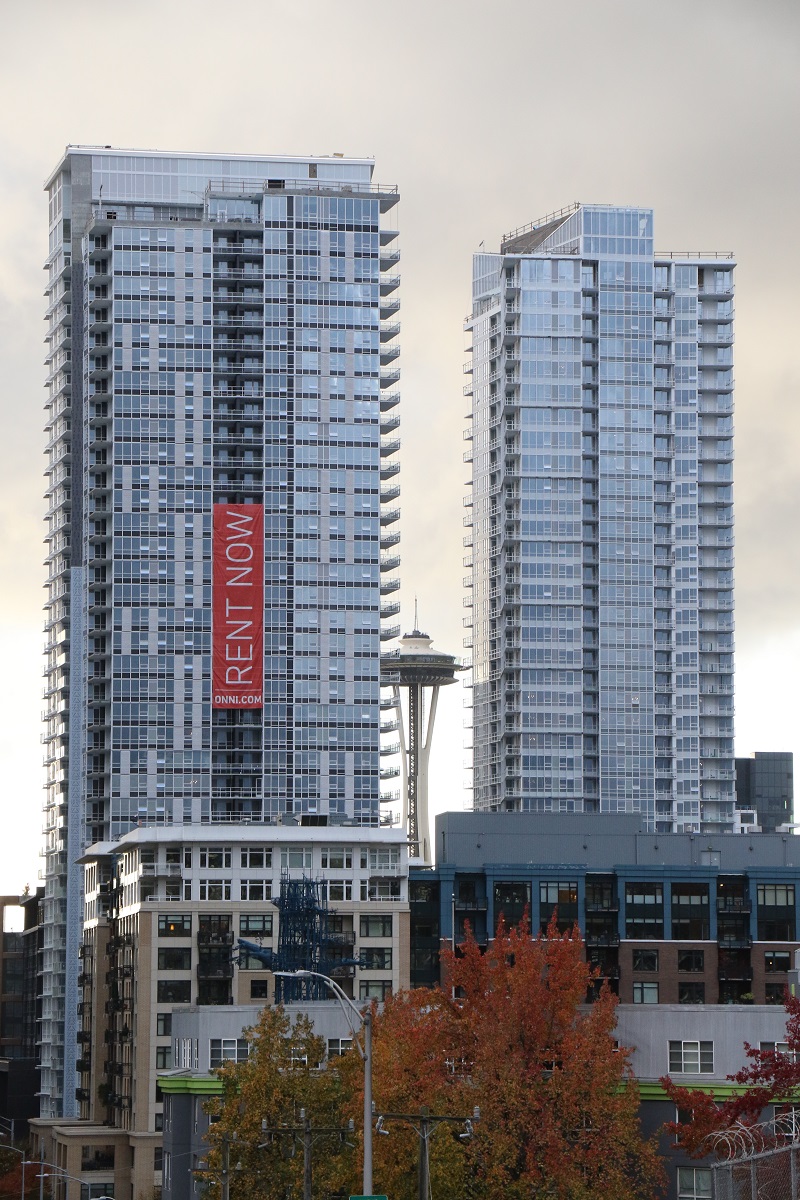
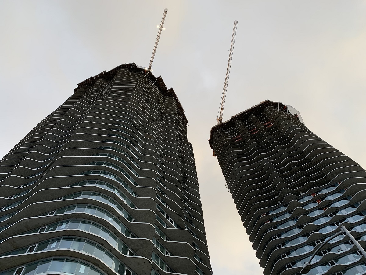
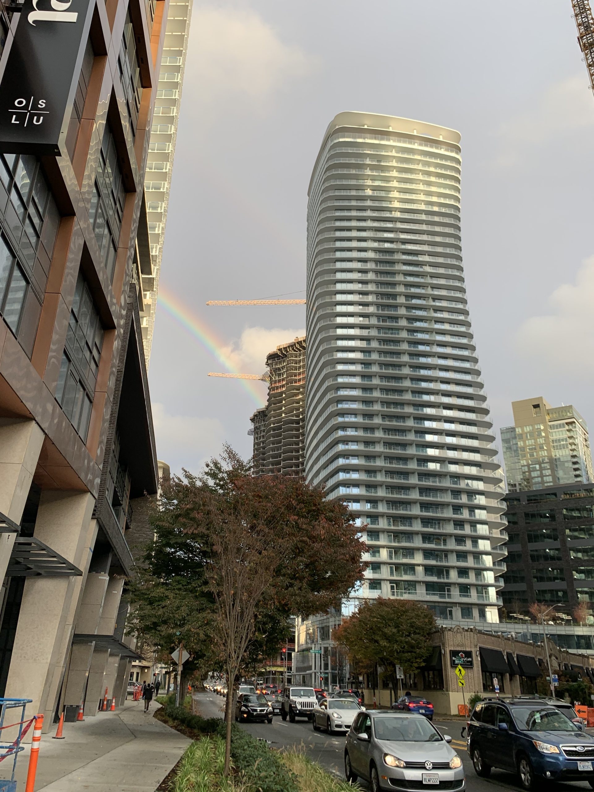
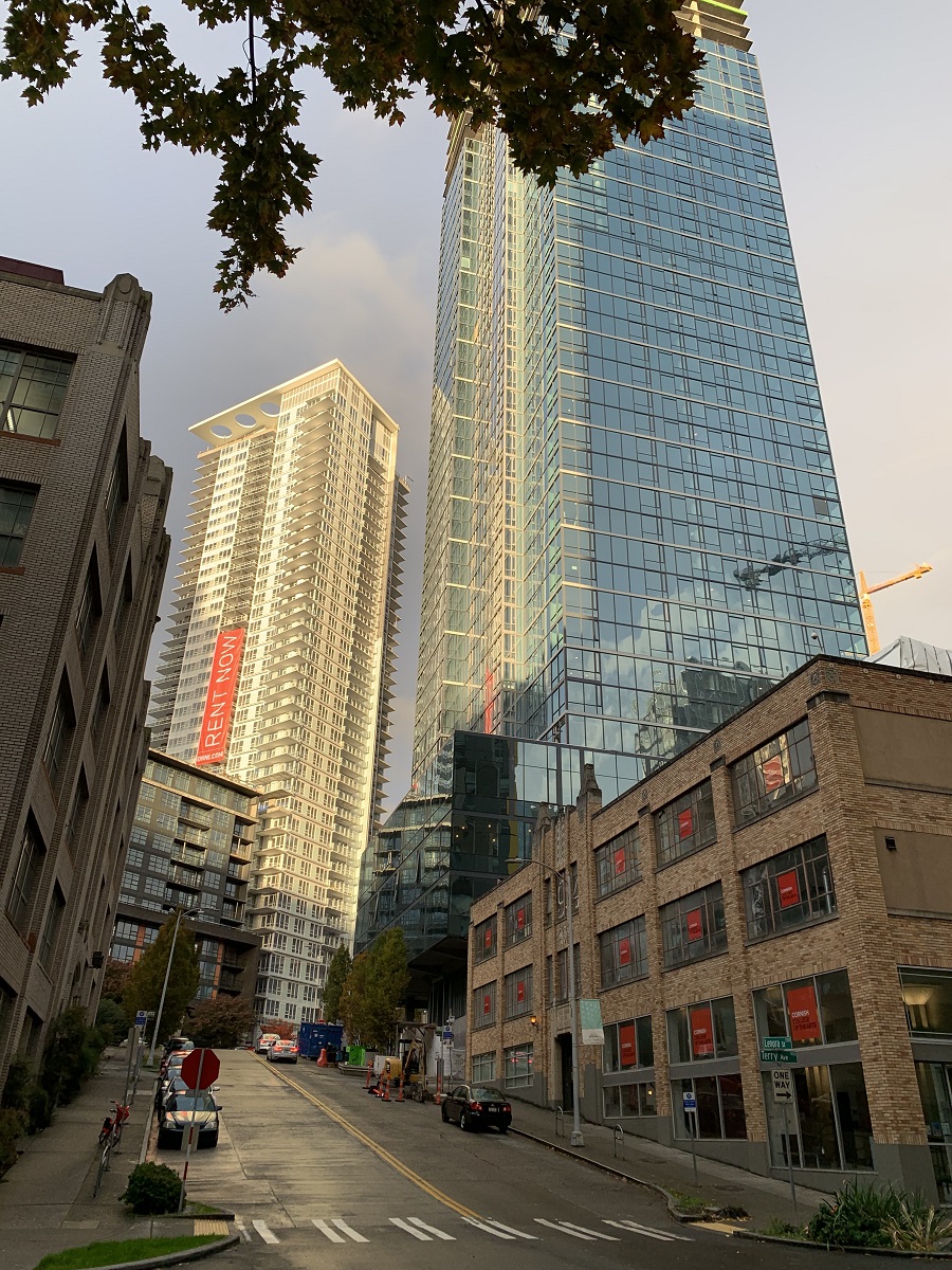
Here are a few pictures that I have taken today— of the ongoing construction on Denny Way.
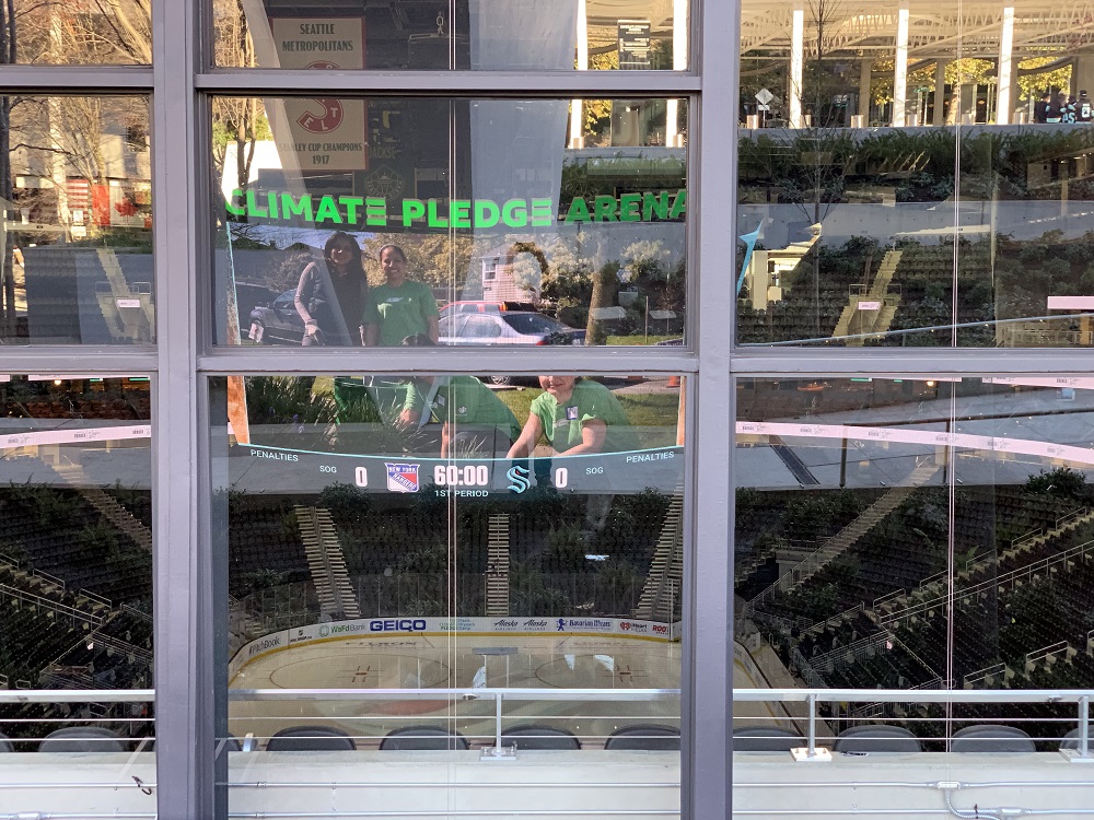
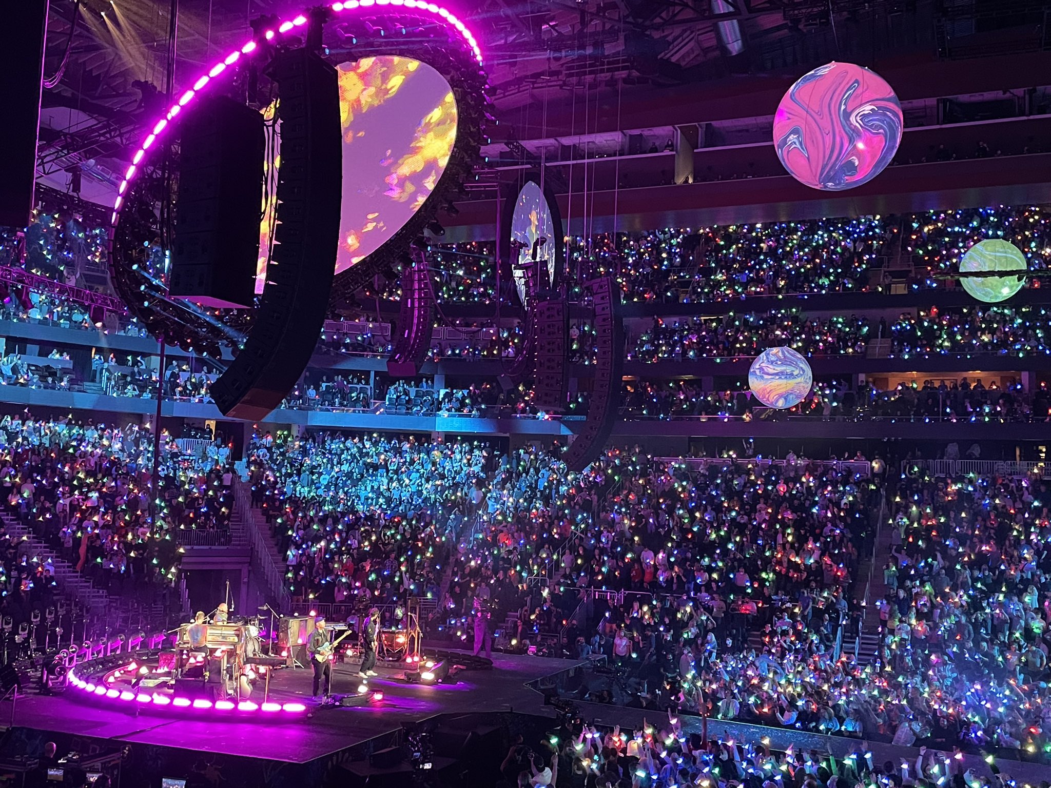
The new home of the Seattle Kraken (ice hockey team) opened today, officially. There was a concert tonight: the first live performance of Coldplay’s brand-new album, Music Of The Spheres. This was the band’s first arena show in nearly five years.
The crews now have 12 hours to turn the arena into an ice hockey rink for the first home game of the Seattle Kraken (against the Vancouver Canucks).
[Picture Credit: Ken Lambert / The Seattle Times]
[Picture Credit: Oak View Group]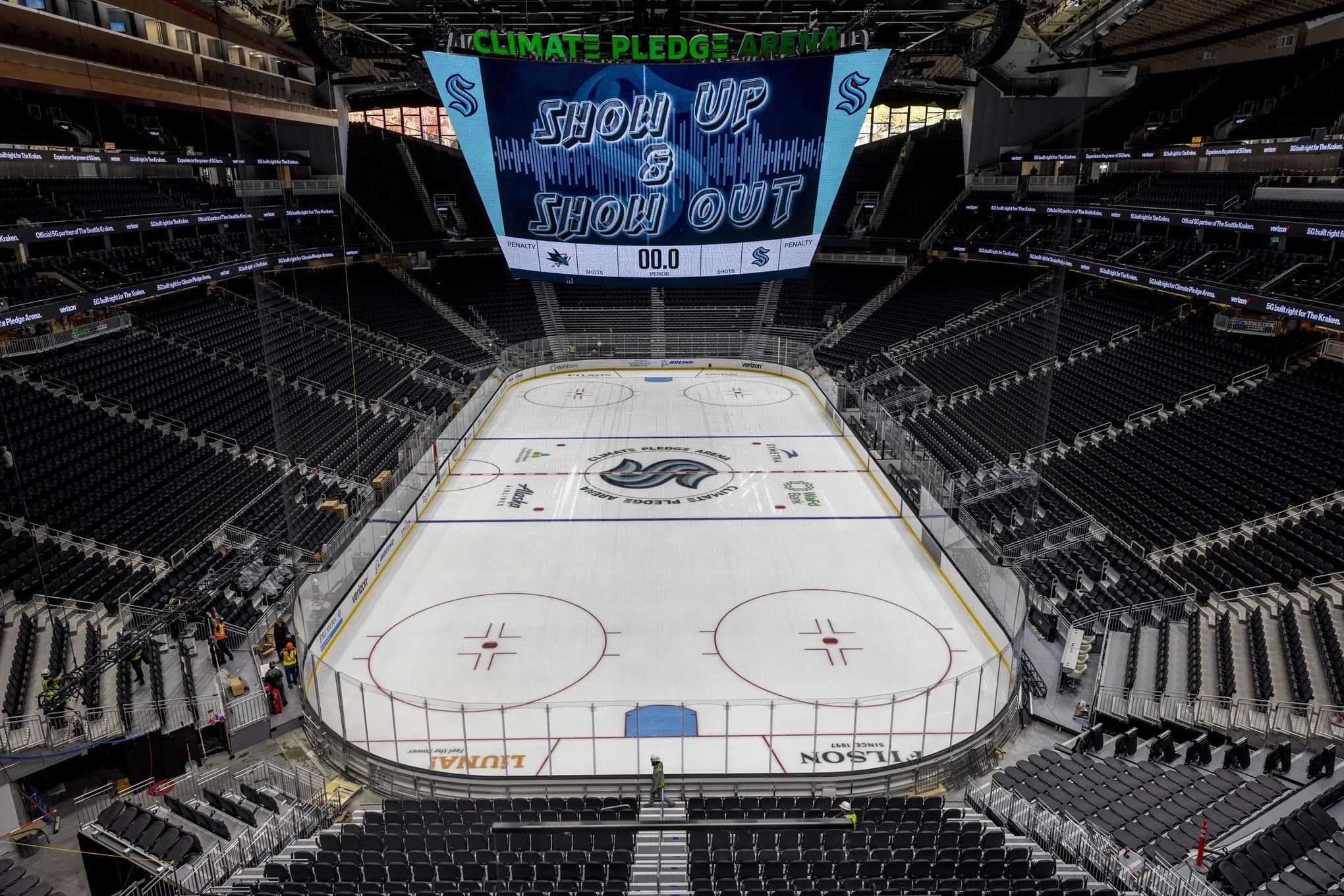
[Picture Credit: Daniel Kim/ Seattle Times]
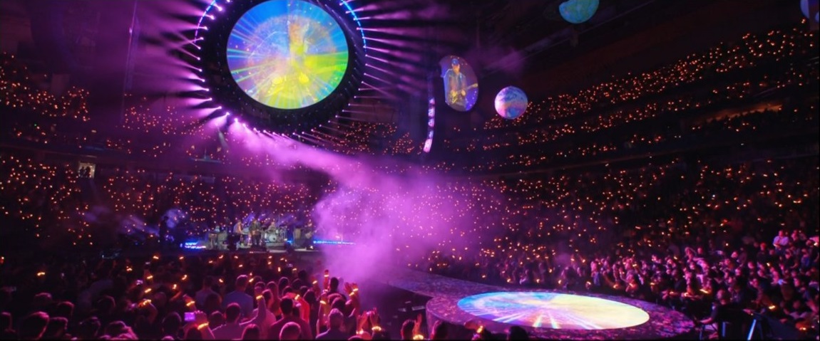
[Source: Amazon Prime Video livestream]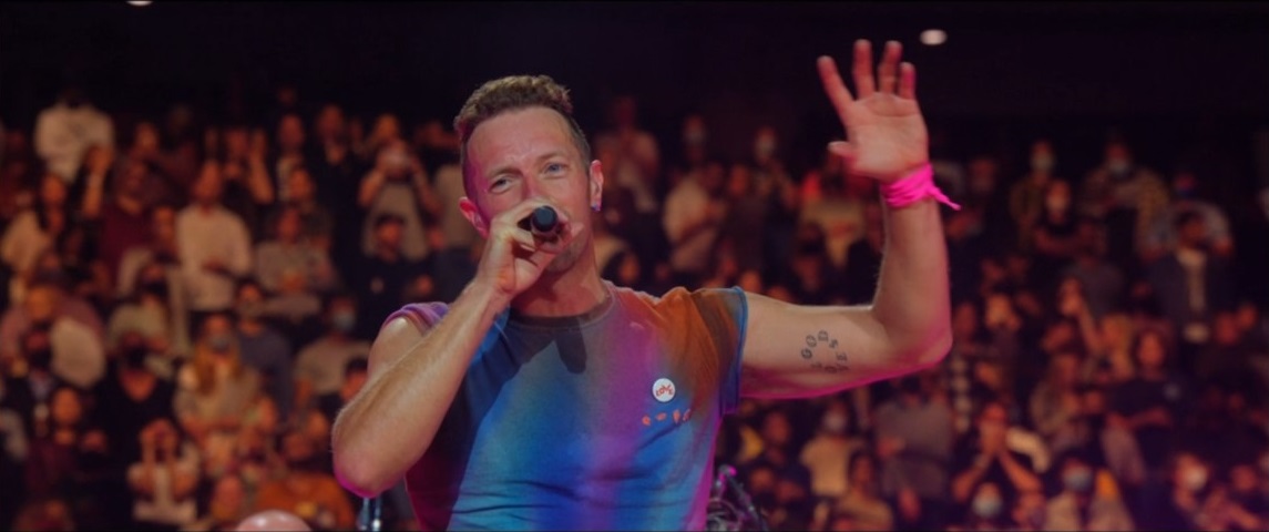
[Source: Amazon Prime Video livestream]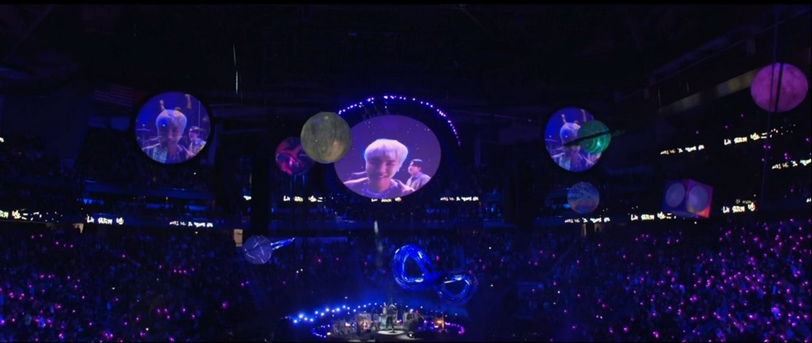
[Source: Amazon Prime Video livestream]
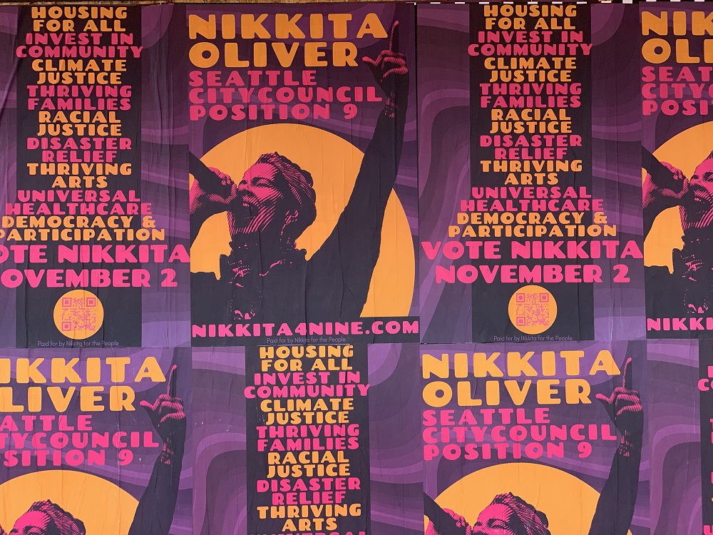
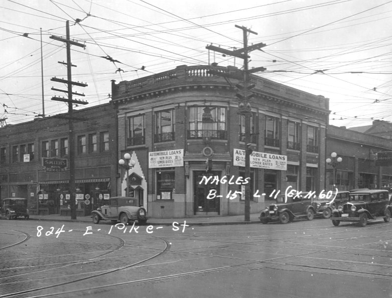
ANYWAY, even though the bad president isn’t sitting at the top of the ballot this year, the results of the November 2 election will determine the future of this bright little capitalist jewel that none of us can really afford to live in.
– The Election Control Board of the very progressive, ‘alternative’ online newspaper ‘The Stranger’
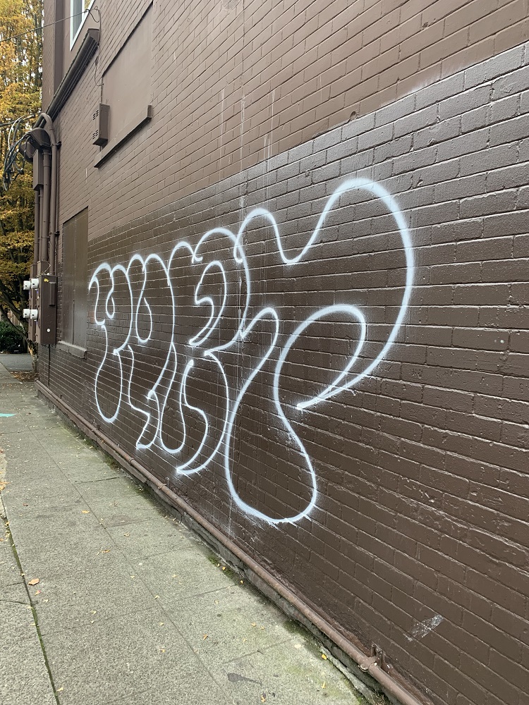
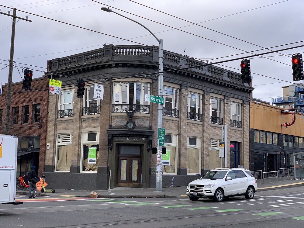
I filled out my little bubbles on my ballot for Seattle mayor and other officials, and walked it down to the drop box on Broadway yesterday afternoon.
I voted for the candidate that will I believe will try harder to clean up the graffiti and trash from the city’s streets, and that will not further gut the Seattle Police Department (‘defund the police’).