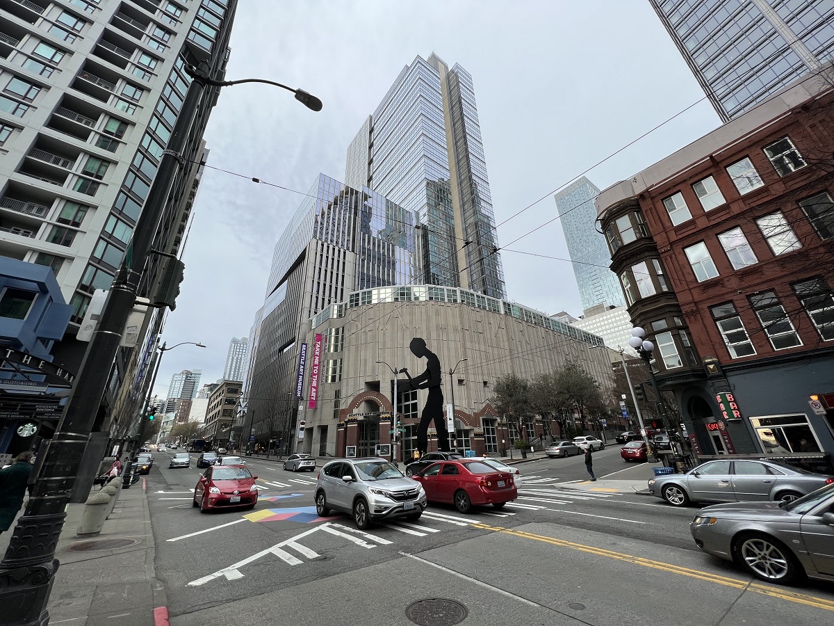
Metsker Maps of Seattle on 1st Avenue is a candy store for map lovers.
I went there today to buy a map for my friend in South Africa.
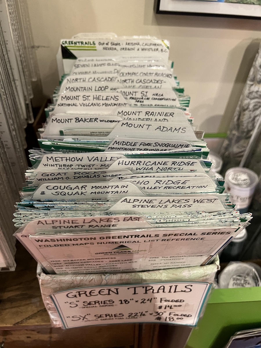
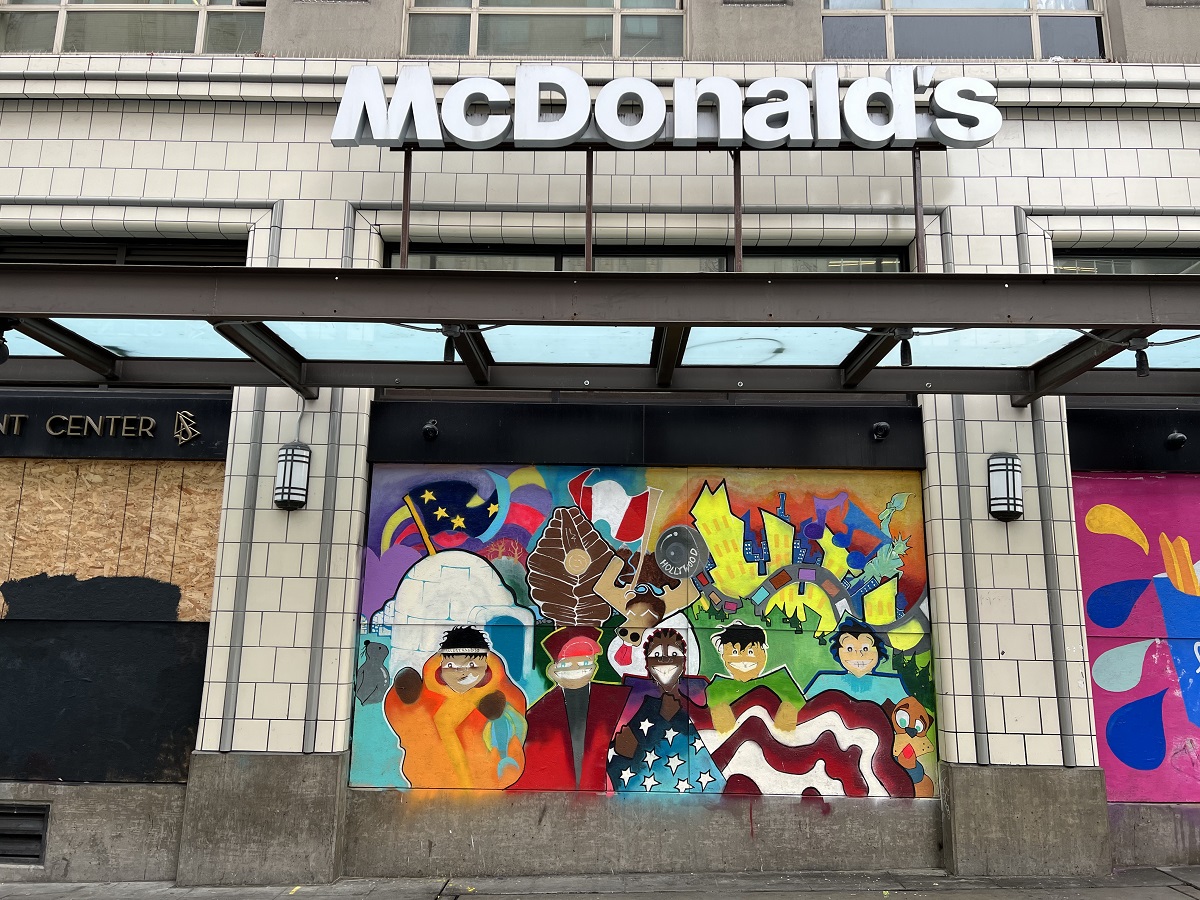
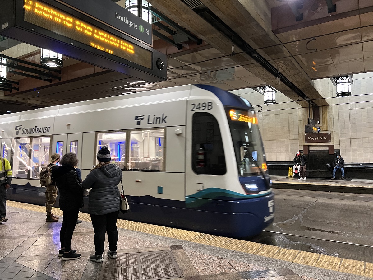
Seattle Art Museum on the corner of 1st Ave and University Street.Inside the store called Metsker Maps of Seattle. This is a lovely set of trail maps for Washington State. I bought a Mount Rainier Wonderland trail map (tab middle right of the box).Downtown had some foot traffic, but seems to be not quite back to business as usual. A handful of tents of homeless people right at Westlake Center (ground zero for tourists after Pike Place Market), were cleared out just today. Some businesses around 2nd and 3rd Avenue are still boarded up (!). Colorful artwork on the boarded-up window always helps, though.Here comes my train at Westlake Center for my short ride back to Capitol Hill. Washington State and King County’s mask mandate for businesses is cancelled as of today, except for healthcare settings and for public transportation. It will make no difference to me; I will still wear my mask to the grocery store and other indoor places for a while.
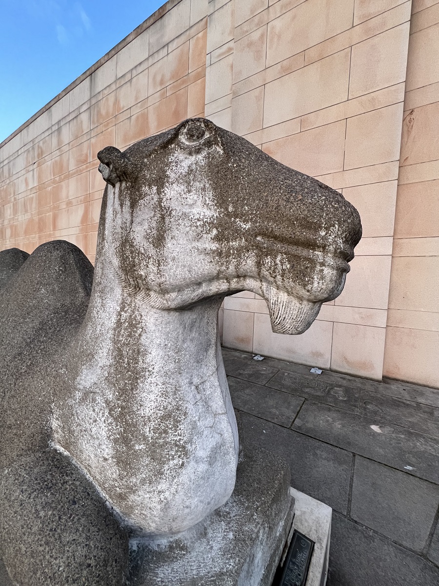
As evening fell, I was waiting by the Asian Art Museum’s camel in Volunteer Park for a sunset picture with a dozen or so other people.
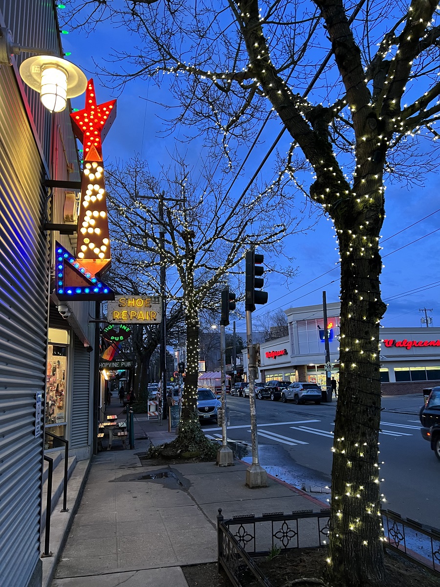
Then I walked back home, by Uncle Ike’s pot shop on 15th Avenue.
And so it is March, the month named after the Roman god of war.
There was no rain this afternoon, and a high of 56 °F (13 °C).
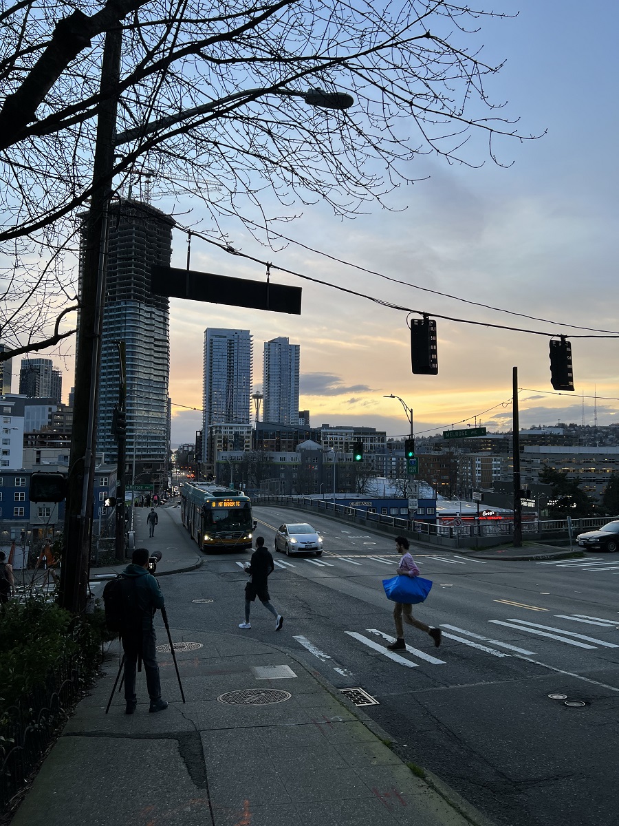
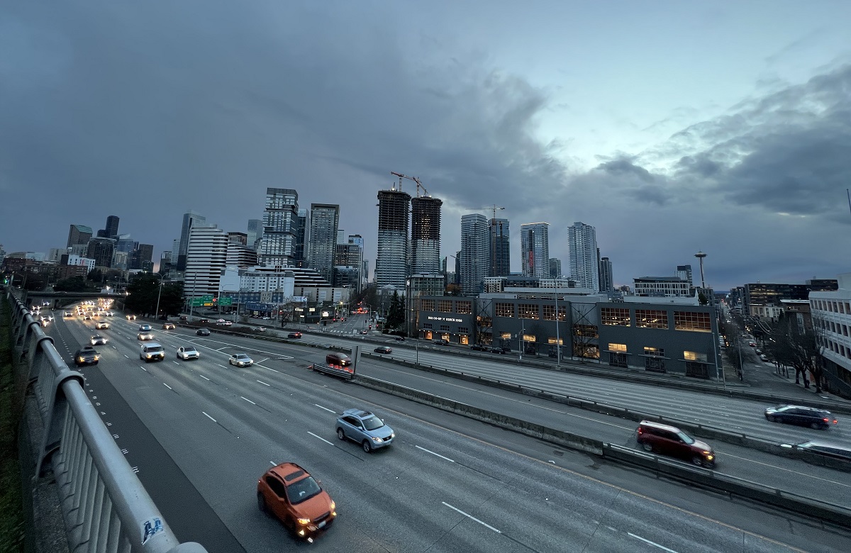
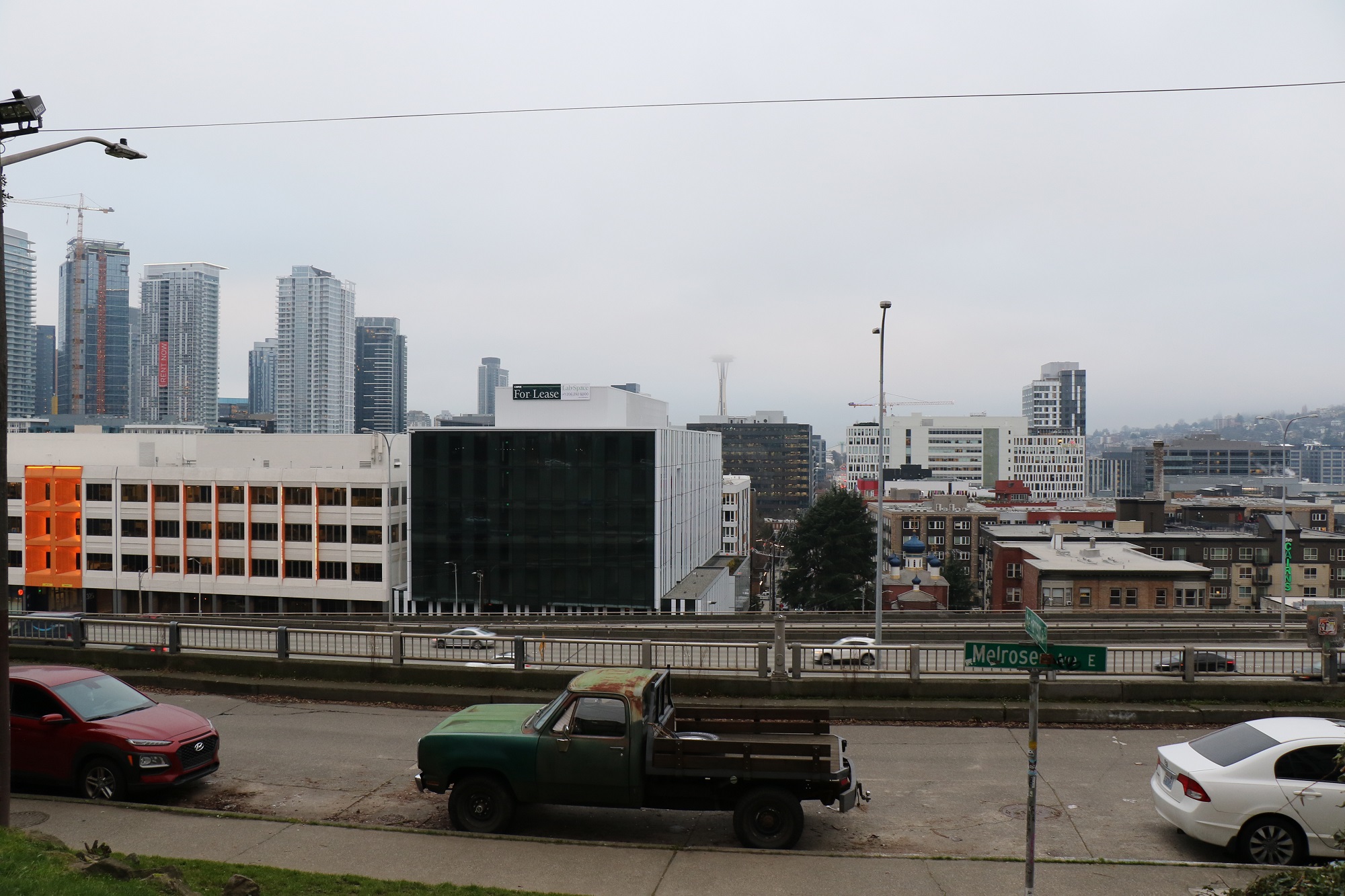
I walked down to the Melrose Avenue overlook (over Interstate 5), and back to Capitol Hill’s top along Denny Way.
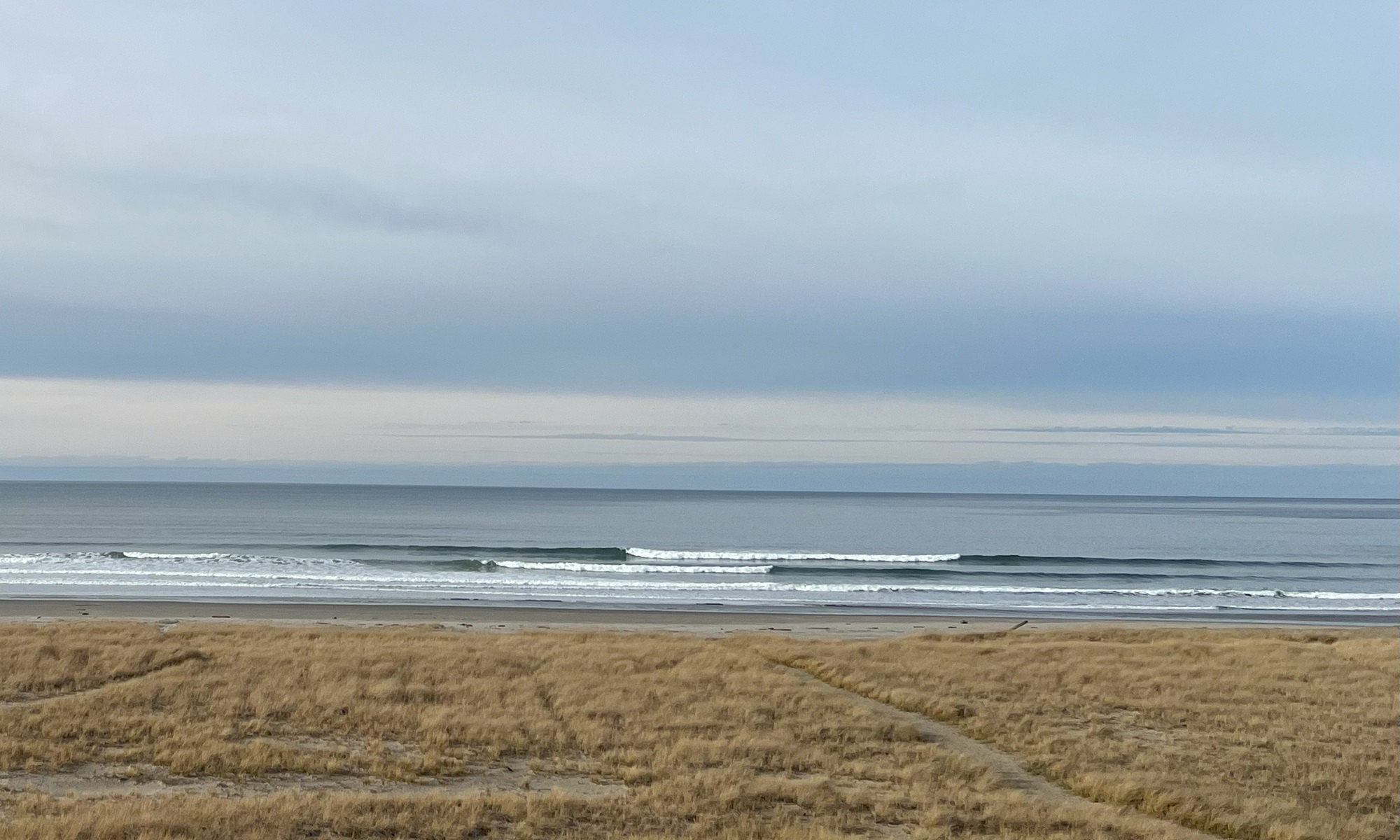
I turned around every now and then, to look at the beautiful hues of color in the western sky.
Here’s the view of Interstate 5 and the city skyline from Melrose Ave and Thomas St tonight.
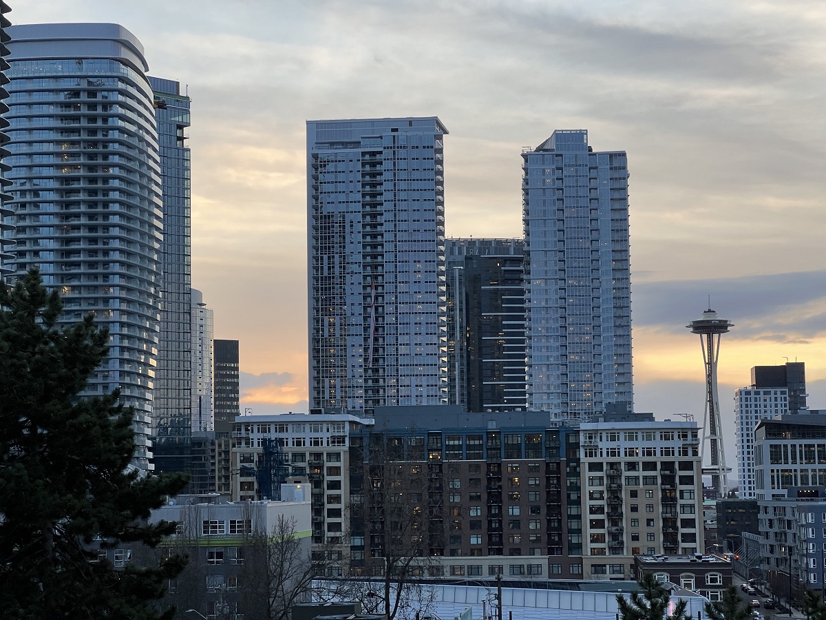
Aw .. no visible sunset tonight. There was a little bit of fine hail on my deck this morning, and sprinkles of rain now and then.Taking a closer look at how the two 41-story residential buildings at 1120 Denny Way are coming along. About 15 floors on the one, and 18 floors on the other to get their window panes. At completion these will have 1100 units and a reported 272 furnished corporate suites.
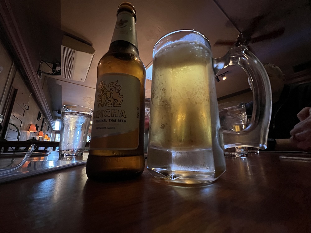
Officials announced today that restaurants, bars, theaters and gyms here in the city of Seattle and surrounding King County will no longer be required to check the vaccination status of their patrons beginning March 1.
We are waiting for everyone’s beer to be brought to the table, at Thai restaurant Jamjuree here on 15th Ave tonight. They did check our vaccine cards at the entrance. I get take-out food here sometimes, but the food always seems tastier and more enjoyable in the restaurant itself. So will delivery operators like UberEats and DoorDash hold on to any gains they made during the height of the pandemic? I doubt it.
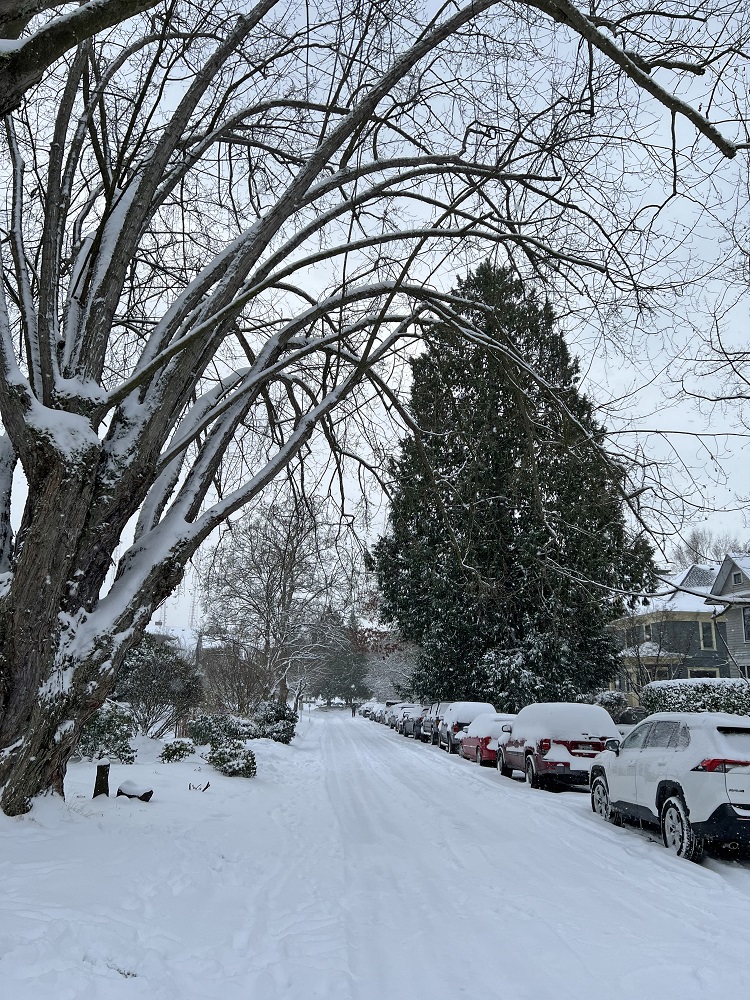
It’s been a ‘dry’ February so far, here in the city.
Only ¼ in. has been recorded, and February gets almost 4 on average.
There was a little rain today— of the kind that does not make the ground wet under the big trees.
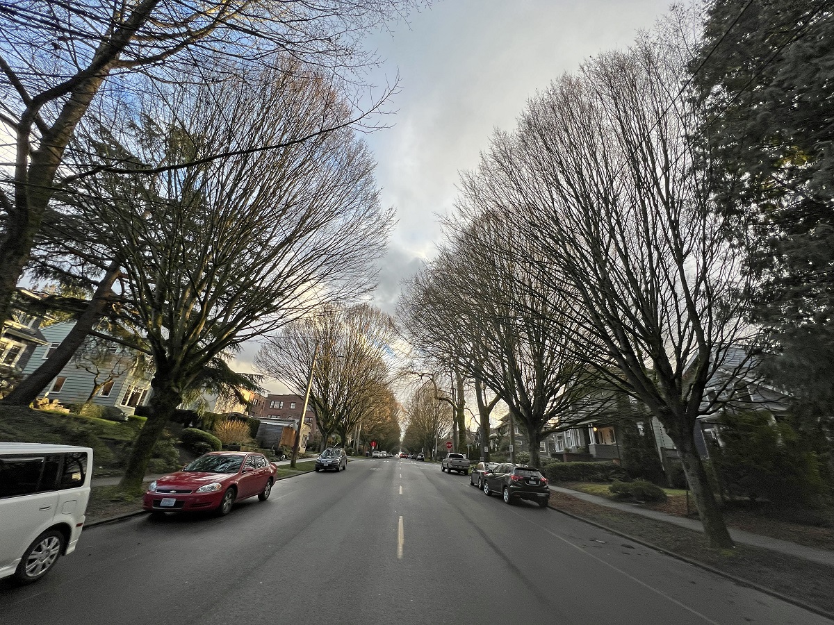
A little bit of blue sky on 19th Avenue, at about 4.45 pm. It was just warm enough to go for a walk: 46 °F (8°C). I cannot put my right hand in a glove or in my pocket; best I can do hold it against my chest inside my jacket.
It was a beautiful day here in the city.
At the highs of the day (52 °F/ 11°C) it felt a little like spring.
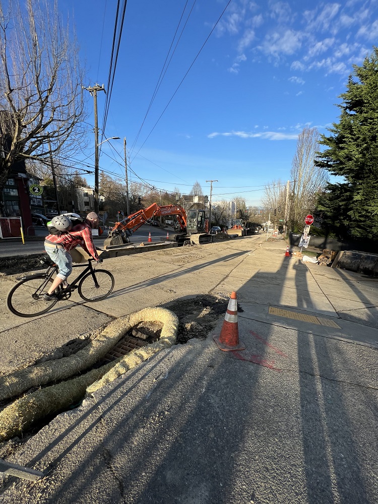
Madison Street is a bit of a mess. It’s getting a makeover, as the new ‘Rapid Ride G’ bus route from downtown to Madison Valley. It will have Bus Only lanes and Bus Priority stops at traffic signals, new curbs, and curb ramps, crosswalks, sidewalks and bike lanes. I like that storm drain filter sock in the foreground. It stops the worst of the construction contaminants to end up in the storm drain, and eventually in Puget Sound.
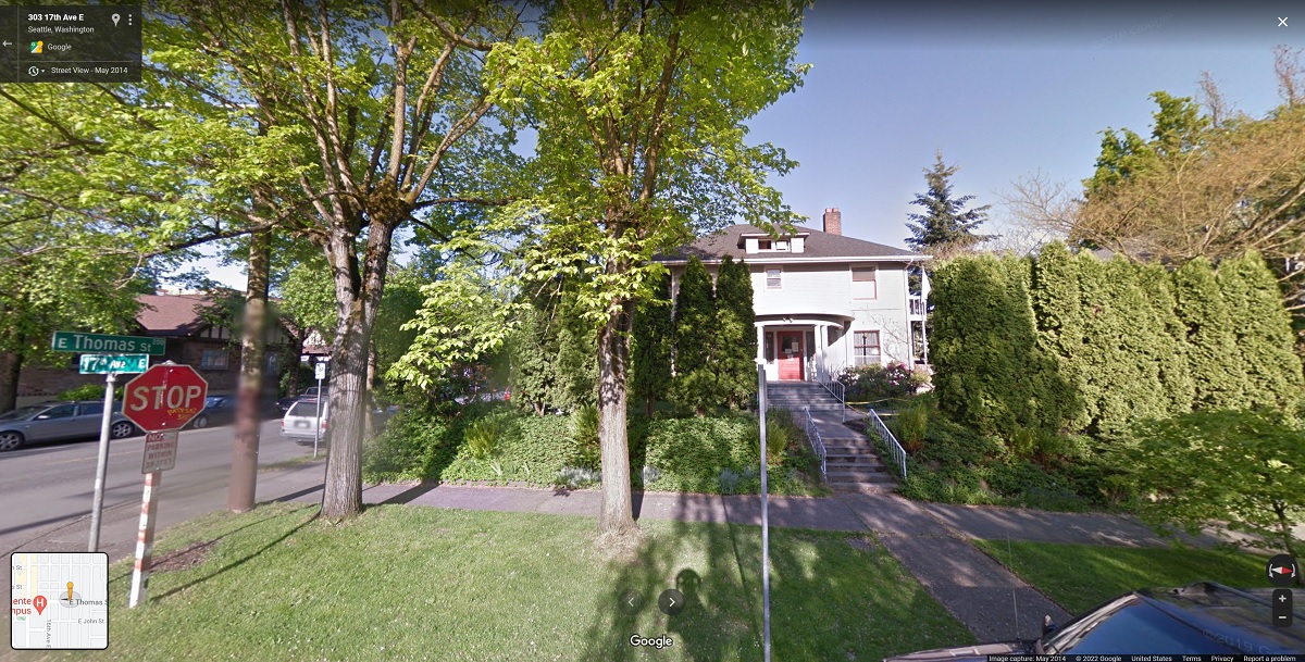
It’s been so long, that I had forgotten that this stately old house used to be on the corner of Thomas and 17th Avenue. It was constructed in 1906, and named Dunshee House when it became the home of the Seattle Area Support Groups & Community Center (SASG). It was sold to a developer and demolished in 2017. [Source: Google Streetview]
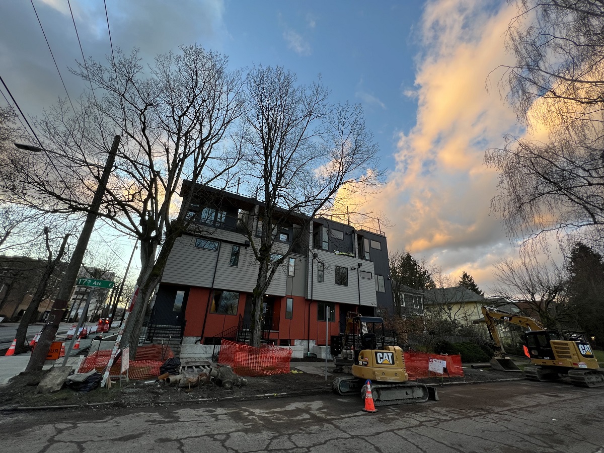
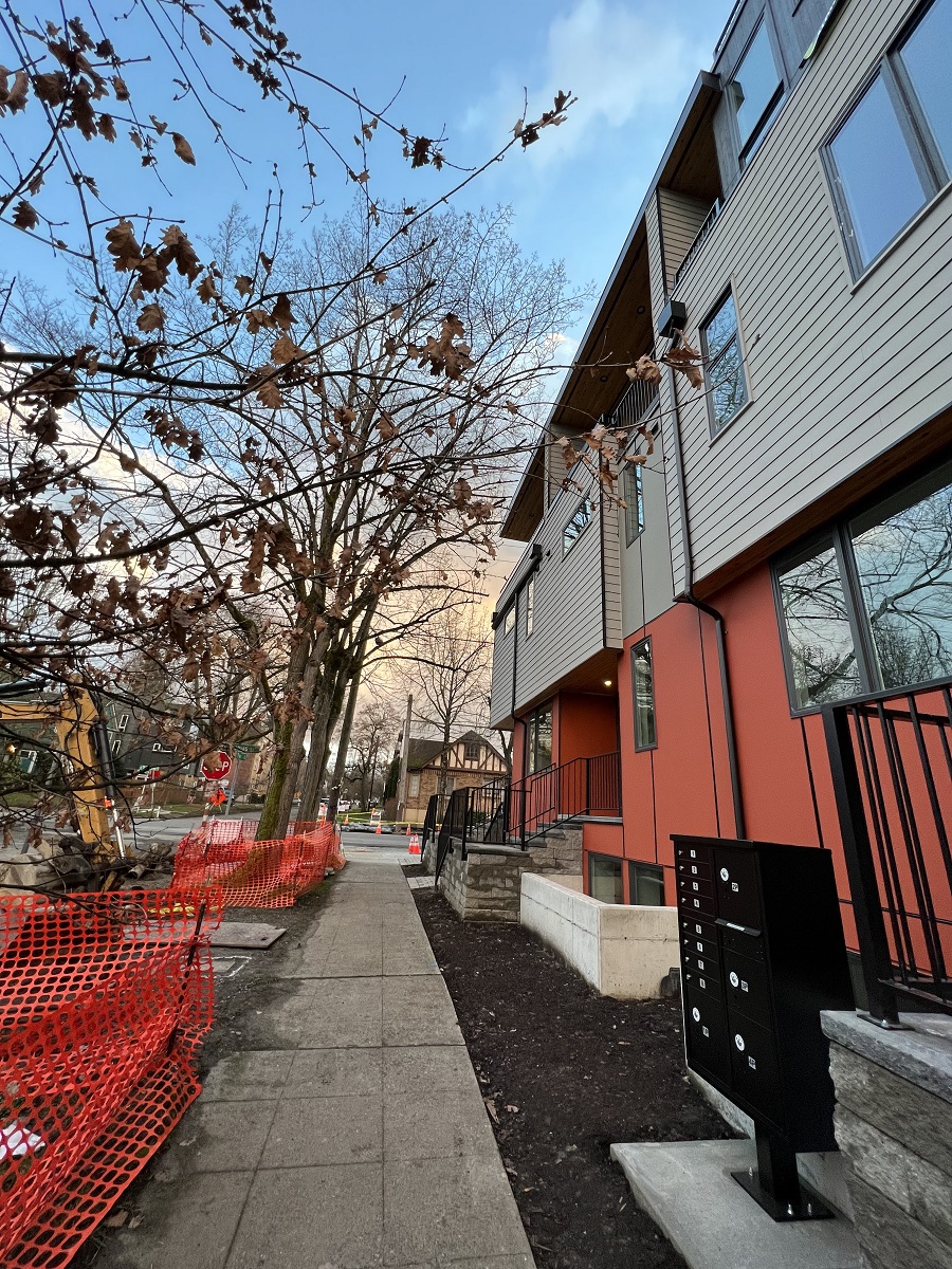
The townhomes at Thomas St and 17th Avenue East are done, five years hence from the start of their construction.
There are 4 new townhomes on 17th Avenue, and 2 that are facing Thomas Street. I’m not sure if they are all the same size. One is listed for sale on Redfin & Zillow for $1.4 million: 2,000 sq ft, 3- bedroom, 3.5-bath, detached garage and extra parking space.Here’s 17th Avenue looking south towards Thomas Street.
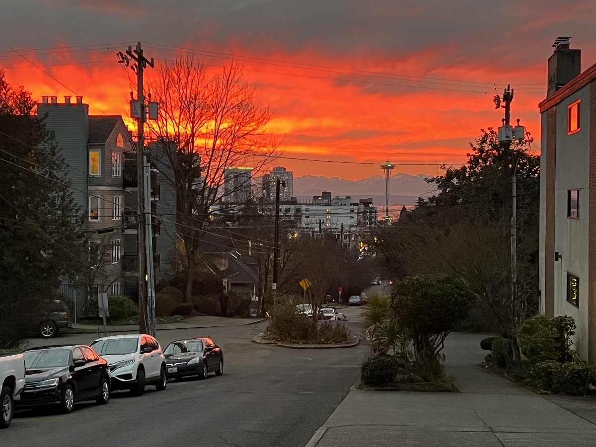
Our Pacific Northwest sun now sets after 5.
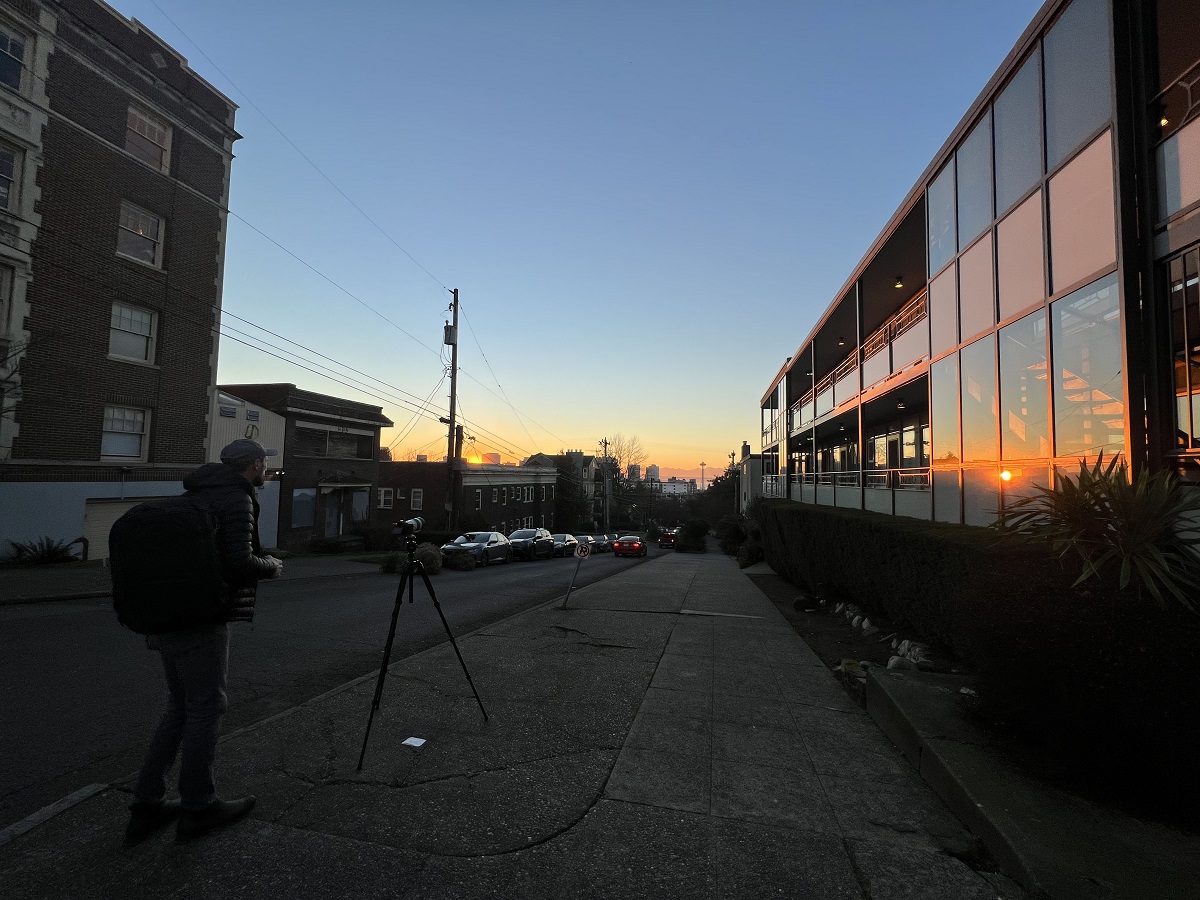
Tonight there was a photographer at ‘my’ East Thomas St/ 14 Avenue spot, good for looking west towards the Space Needle with the profile of the Olympic mountains.
It was only 38 °F (3 °C ) as I walked back home today after getting a haircut.
It was good to get out of the house, though .. and hey! I thought: might as well try my luck to get another passport photo taken.
The kiosk at the Bartell pharmacy* at Broadway & Pike had me in and out with great photos in 5 minutes.
*Officially Bartell Drugs or the Bartell drug store. Yes, I know it’s prescription drugs —but it still doesn’t sound right to my ears.
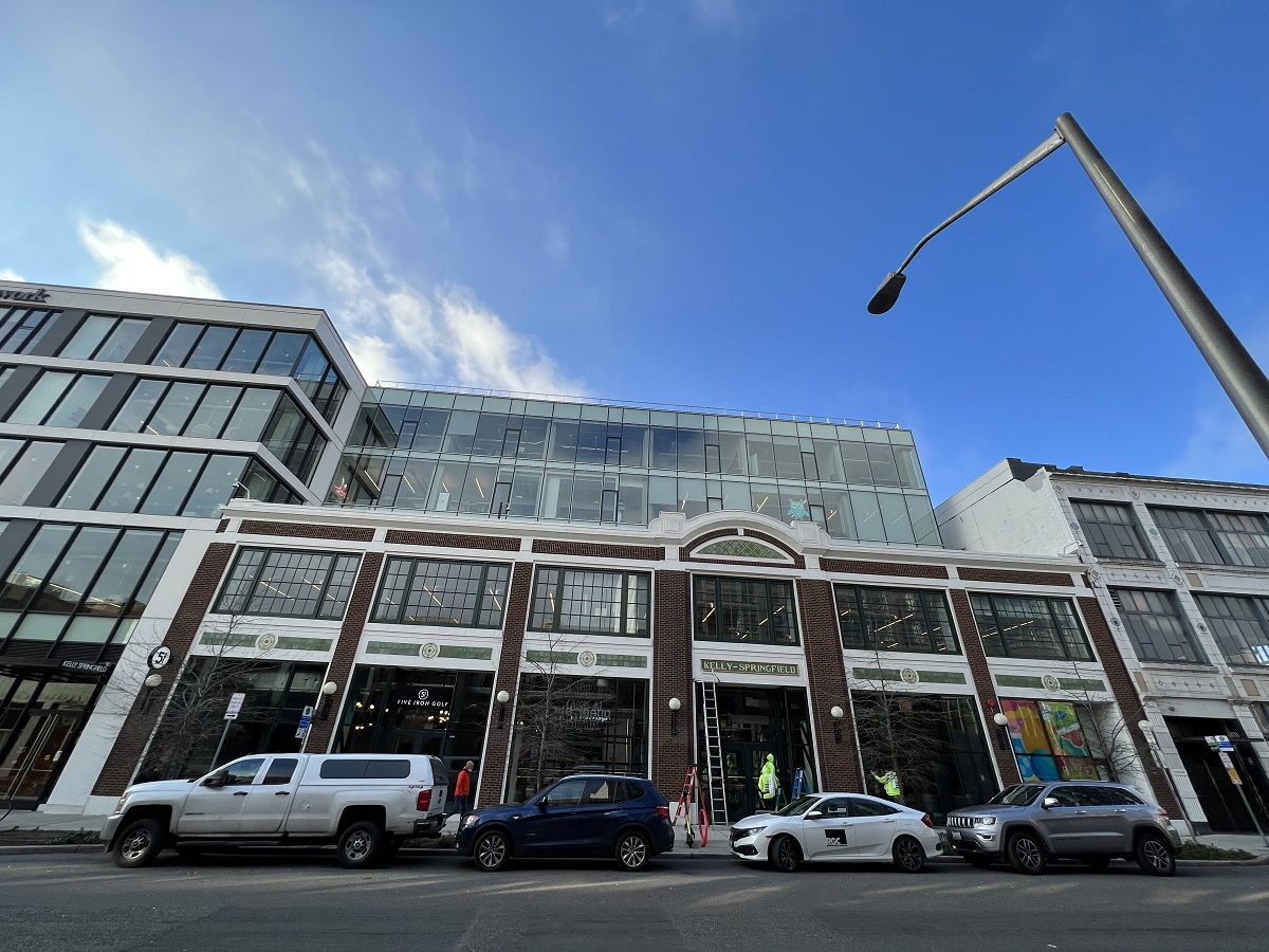
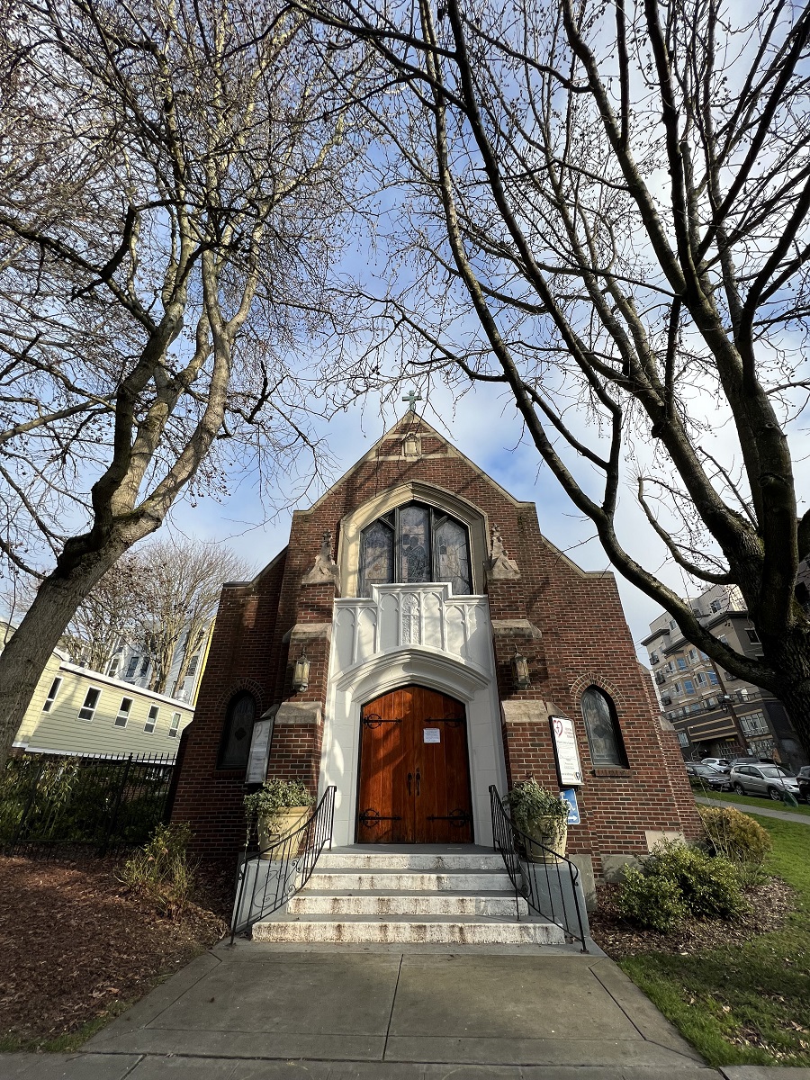
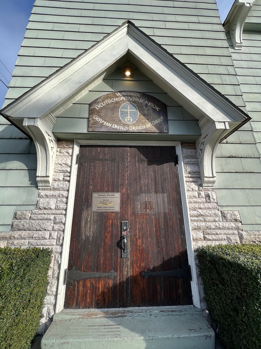
There was a crew cleaning up the main entrance of the beleaguered Kelly-Springfield Building on 11th Avenue. As it was getting ready to open is office spaces (most of it leased by WeWork), the pandemic came. And then in June 2020 the Capitol Hill Organized Protest and its graffiti and vandalism happened right there (half a block away) as well.A little further north on 11th Ave. on Capitol Hill, is the Central Lutheran Church building. It is boasting new white paint on its gothic-styled main entrance. The Capitol Hill location’s land was purchased in 1901 for $2,300, according to the Central Lutheran archives. The building must have been constructed soon after that.Nearby the Central Lutheran Church, is the German United Church of Christ, its building also more than 100 years old. It was founded in 1881 by early German settlers, calling themselves “The First German Reformed Church of Seattle.” Today they are largely supported by private donations, and the “German Heritage Society”, the “Plattdeutscher Verein” and the “Frauenverein”.
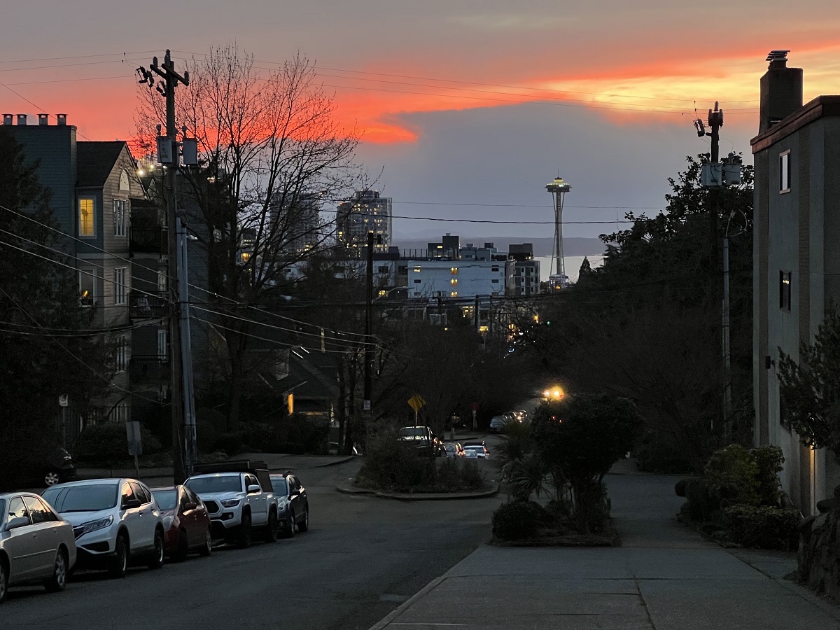
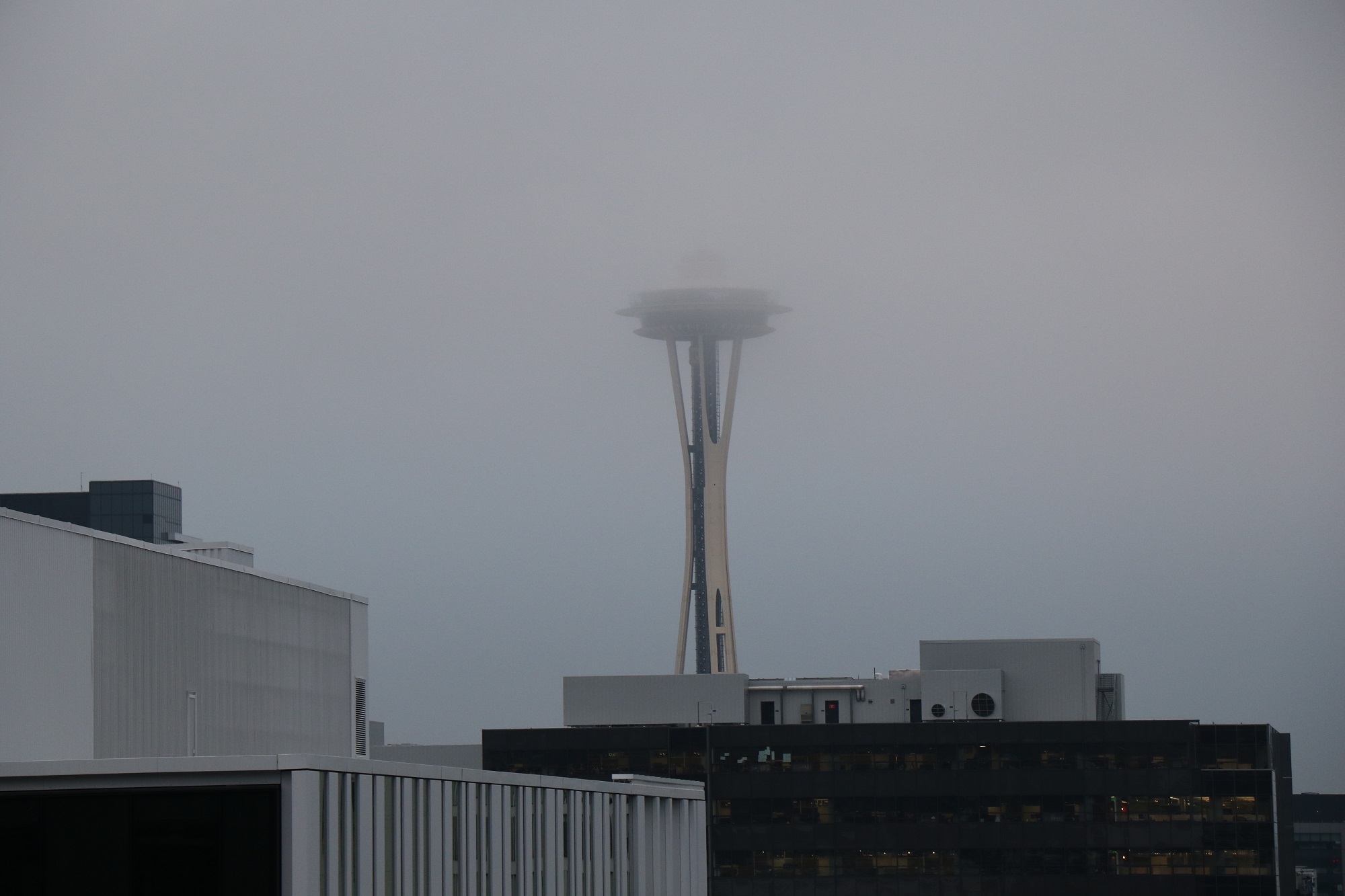
I made my way down Harrison Street to the Interstate 5 overlook from Melrose Avenue at sunset, hoping for some pinks and oranges in the sky — but no such luck. The fog was already closing in.
Here’s 4.30 pm (sunset at 4.57 pm), looking towards the Space Needle from Harrison St and Melrose Ave.Definitely not a good day for views from the Needle’s observation deck —but ALWAYS a good day for a beer in the lounge inside! :).
ACT I SCENE I A desert place.
[Thunder and lightning. Enter three Witches] First Witch: When shall we three meet again
In thunder, lightning, or in rain? Second Witch: When the hurly-burly’s done,
When the battle’s lost and won. Third Witch: That will be ere the set of sun. First Witch: Where the place? Second Witch: Upon the heath. Third Witch: There to meet with Macbeth. First Witch: I come, graymalkin*! Second Witch: Paddock* calls. Third Witch: Anon! All: Fair is foul, and foul is fair:
Hover through the fog and filthy air.
[Exeunt]
From ‘Macbeth’ (1606) by William Shakespeare
*Graymalkin is an affectionate name for a gray cat. During the Renaissance it was believed that Satan sent witches malicious spirits to help them carry out their evil deeds. These ‘familiars’ or ‘imps’ would appear in animal form. The familiar of the First Witch takes the form of a cat and the familiar of the Second Witch takes the form of a paddock, a toad. The familiar of the Third Witch is not mentioned in the first act but later in the play, it takes the form of a harpy, a nasty creature in Greek mythology with the head and body of a woman and the talons of a bird. -information from Shakespeare Online.
For those in warmer climes, let me tell you: 44 °F (7 °C) feels positively balmy when you’ve recently felt the bite of 19 °F (minus 7 °C).
There was fog this morning, and again tonight. This is 19th Avenue on Capitol Hill at 8 pm. Fog is made of tiny condensed water droplets suspended in humid air that had been cooled to its dewpoint: the temperature at which it can no longer hold all of the water vapor it contains.
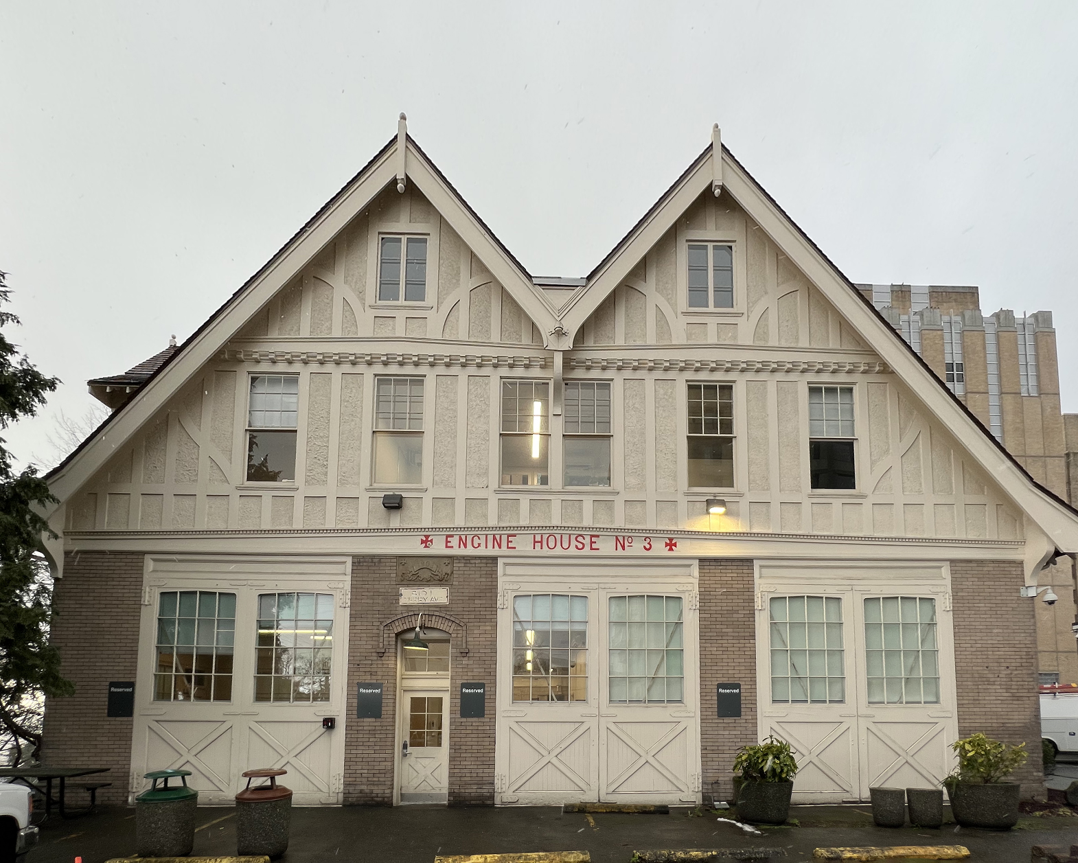
There was scaffolding all along the front of Engine House No 3 last April, as I walked by on the way to my first Covid shot next door.
The building now shows off a fresh coat of paint, and restored red lettering on the front as well.
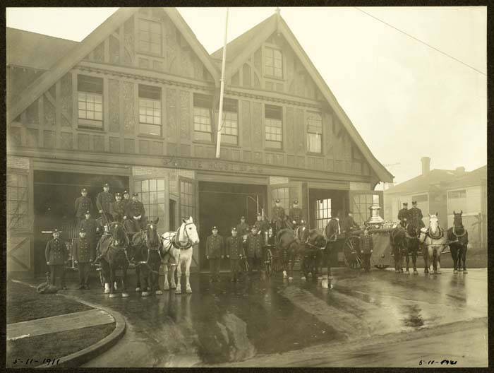
Engine House No 3 on Terry Avenue is an official historic landmark. The building served as a home for the local fire brigade until 1921. Over the years, Harborview Medical Center gradually grew up around it. The hospital continues to use the old station building to this day. ‘Foot Note’: I thought those red crosses are Maltese crosses, but they are not. They are cross pattée (‘footed crosses’), a type of Christian cross with arms that are narrow at the center, and often flared in a curve or straight line shape, to be broader at the perimeter. The form appeared first in very early medieval art.From 1890 to 1904, the Seattle Fire Department’s Engine House No. 3 stood in what is now the Chinatown/ International District. In 1904, it was replaced by a new Engine House No. 3 (this one), at the intersection of Terry Avenue and Alder Street, in what is now Yesler Terrace. This 1911 photo shows Engine House No. 3 in its heyday. Three fire wagons, with their crews and horses, stand in the station’s doorways on a rainy day. Handwritten on photograph: 5-11-1911. [Photo and text from Wikimedia Commons]
We are out of the freezing temperatures, and it started to rain steadily this afternoon.
That should take care of the remaining snow & ice on the streets and on the sidewalks.
Here’s Jackson St and 23rd Avenue at 9.15 pm tonight. I am making my Sunday night grocery run, and there ‘s the Amazon Fresh store, on the left. I will make a left turn, park in the empty parking garage, and shop in the empty store. (All right, not completely empty. There will be 5 or 6 other people, besides me).
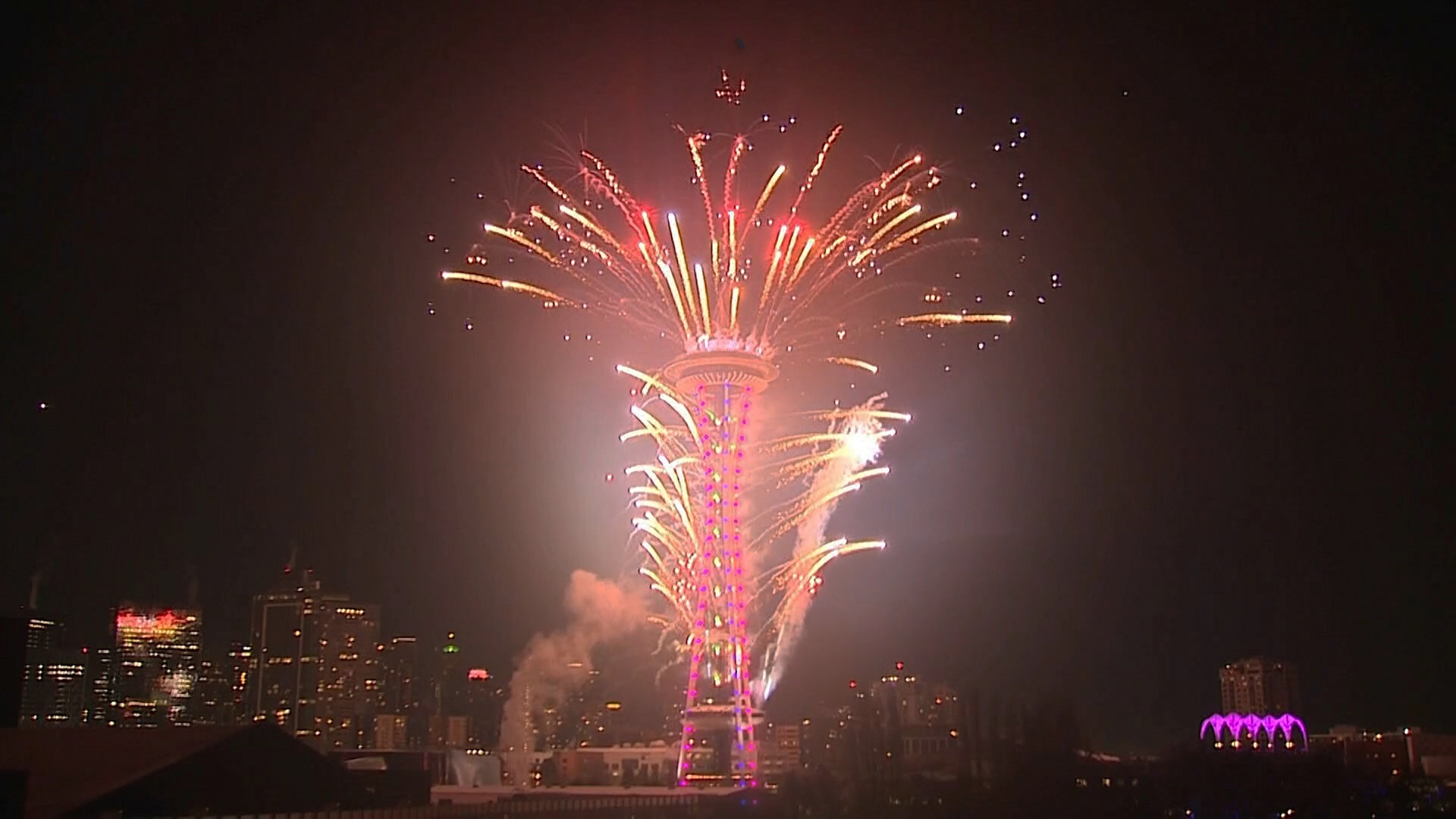
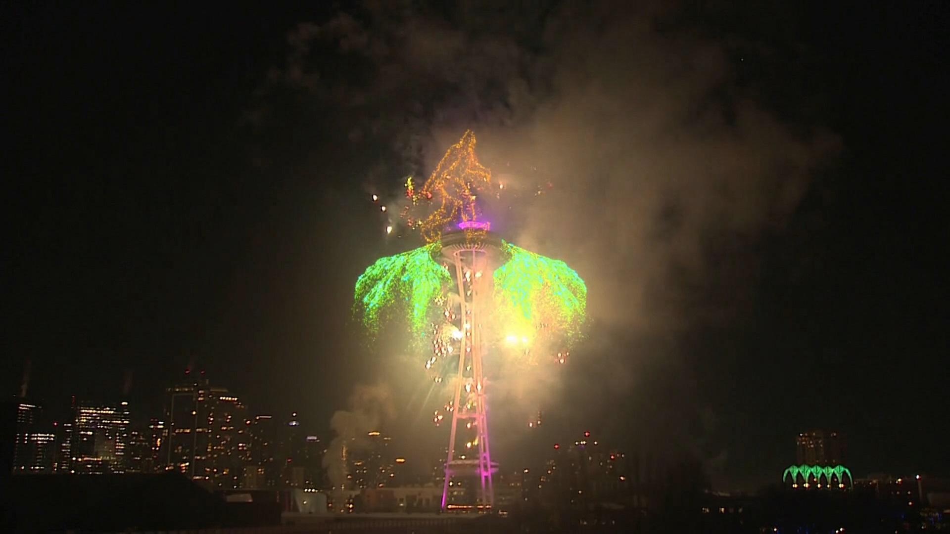
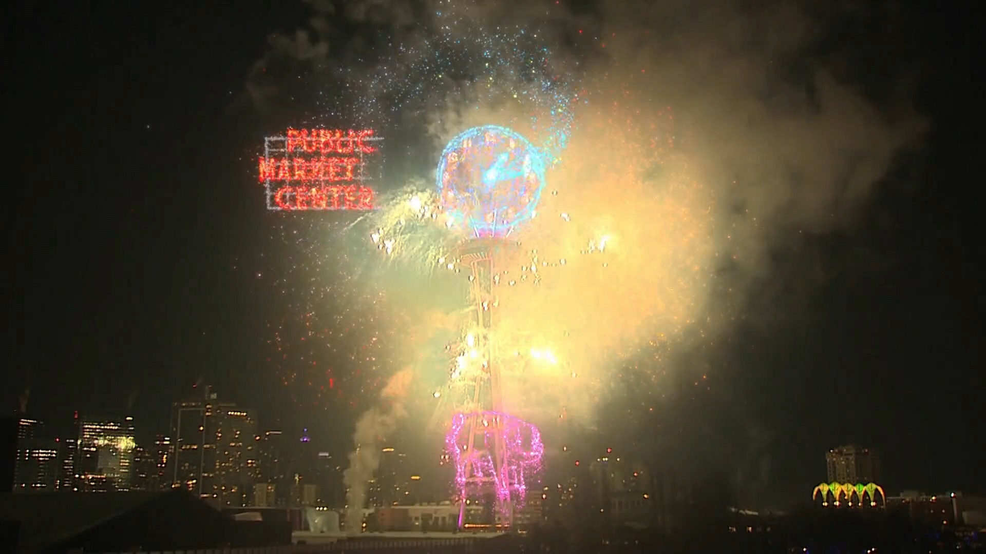
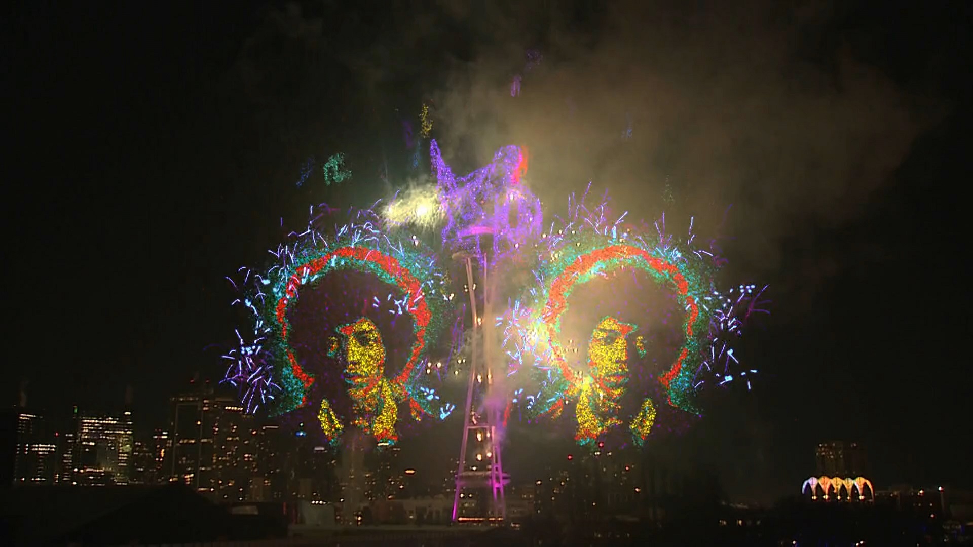
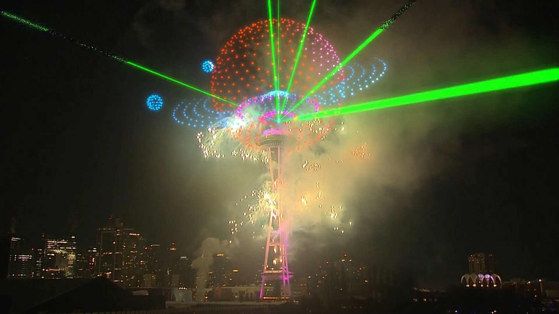
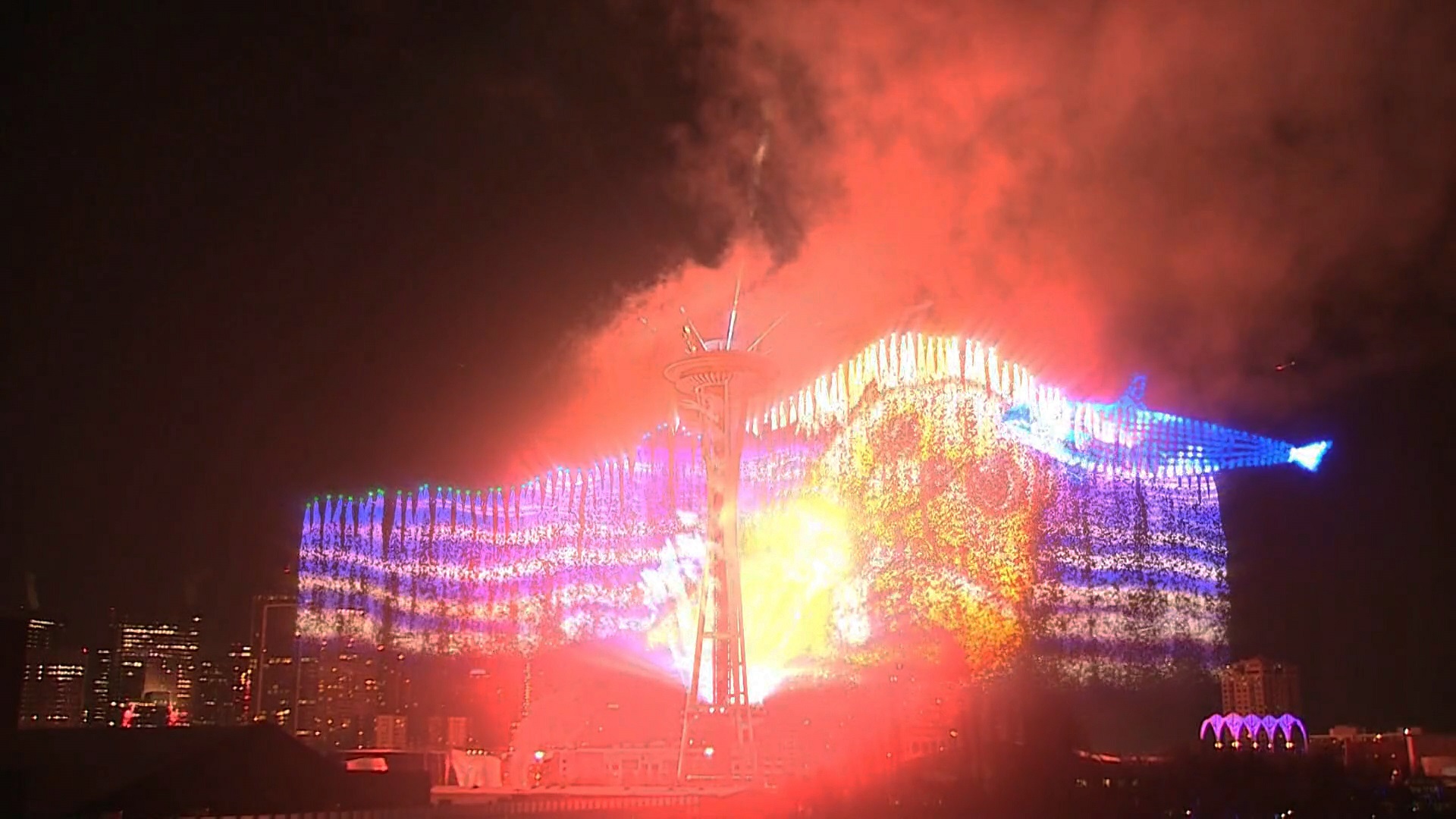
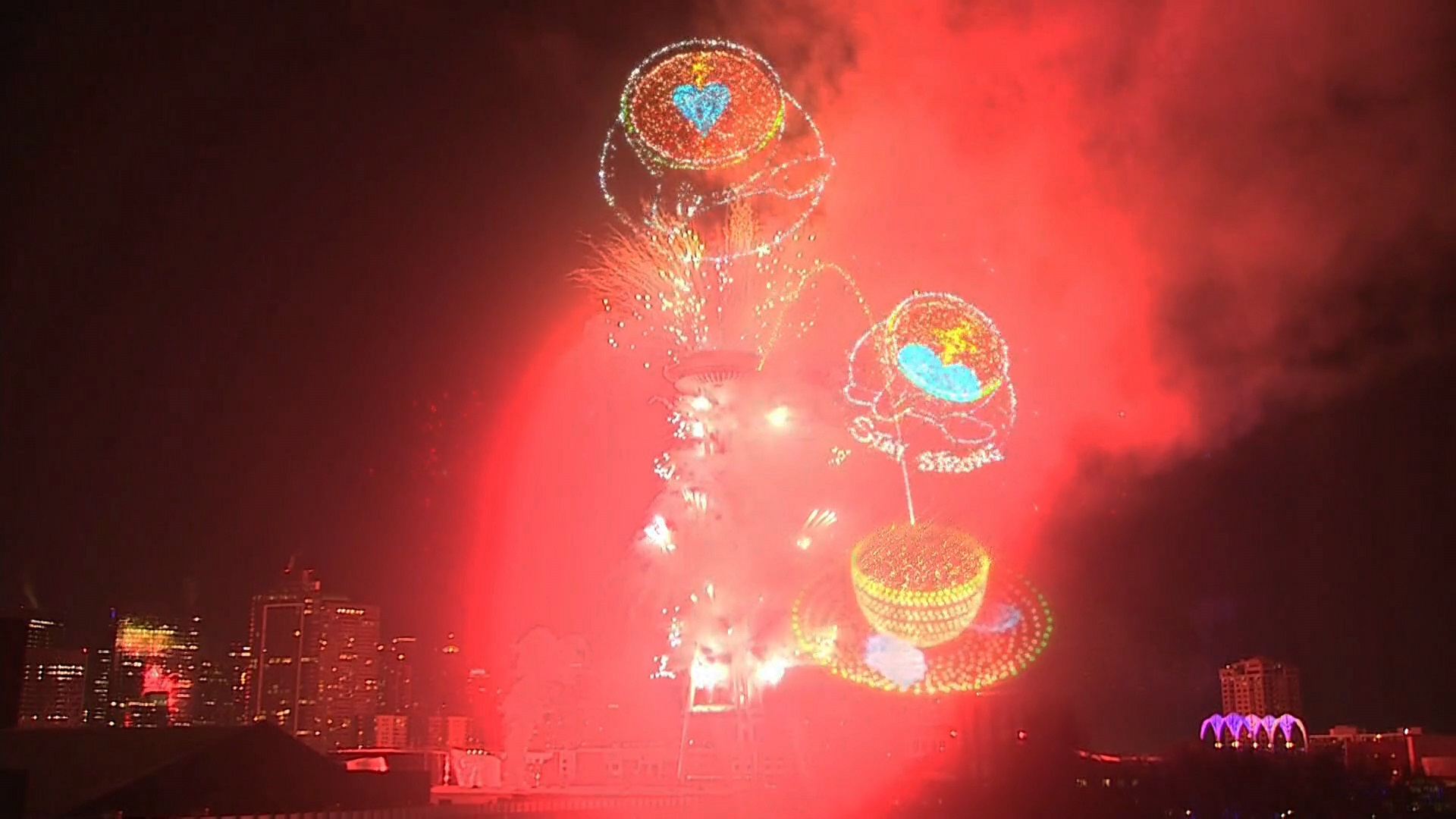
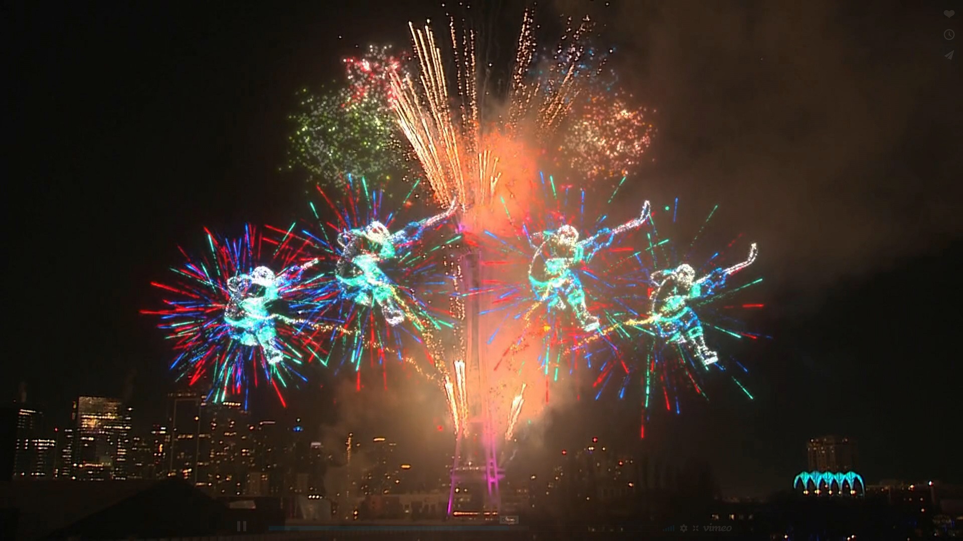
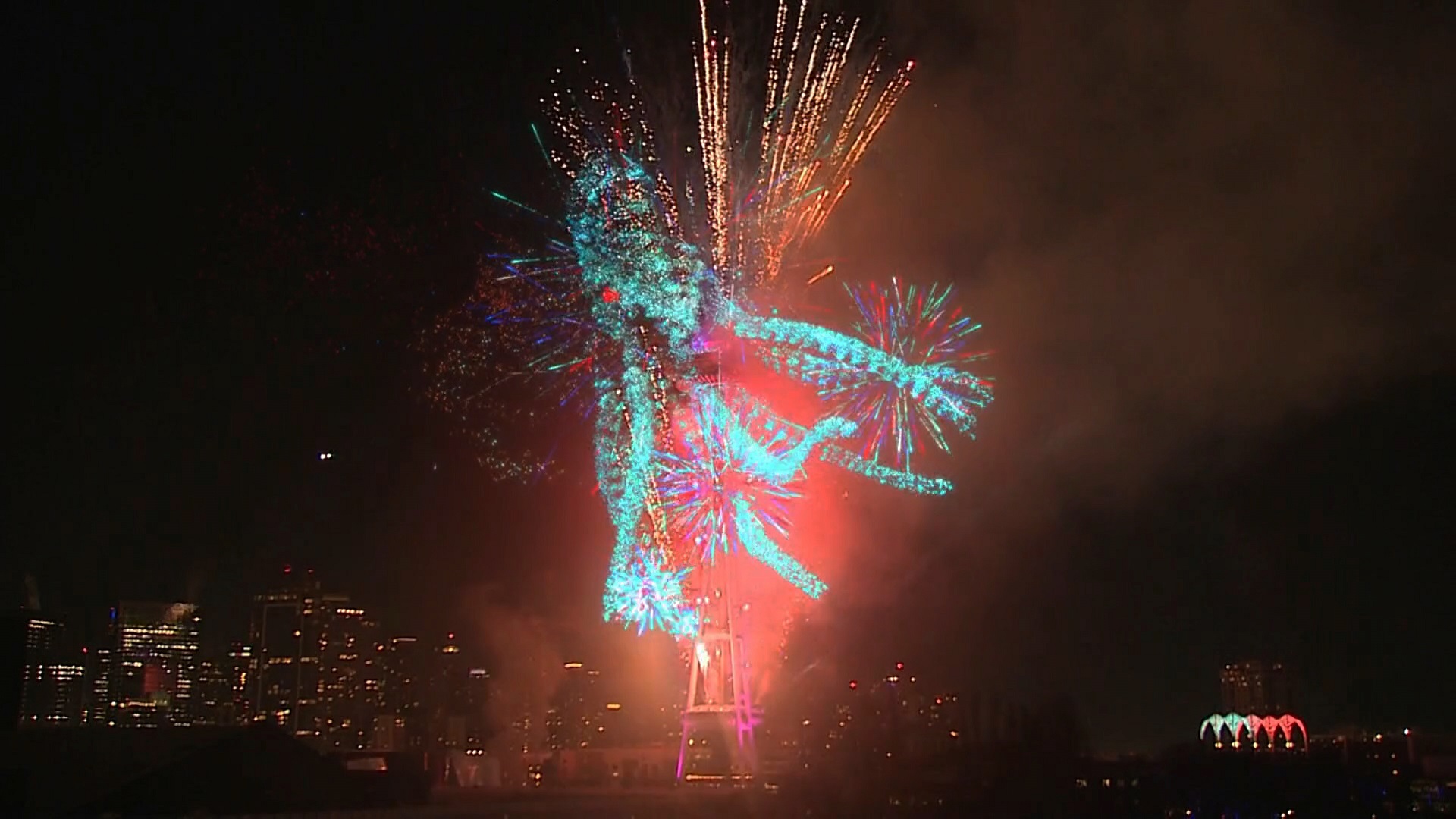
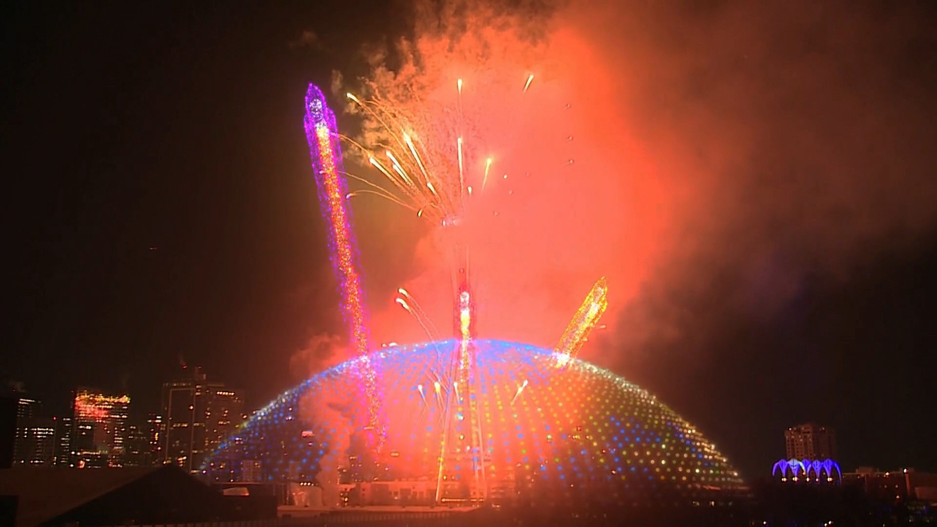
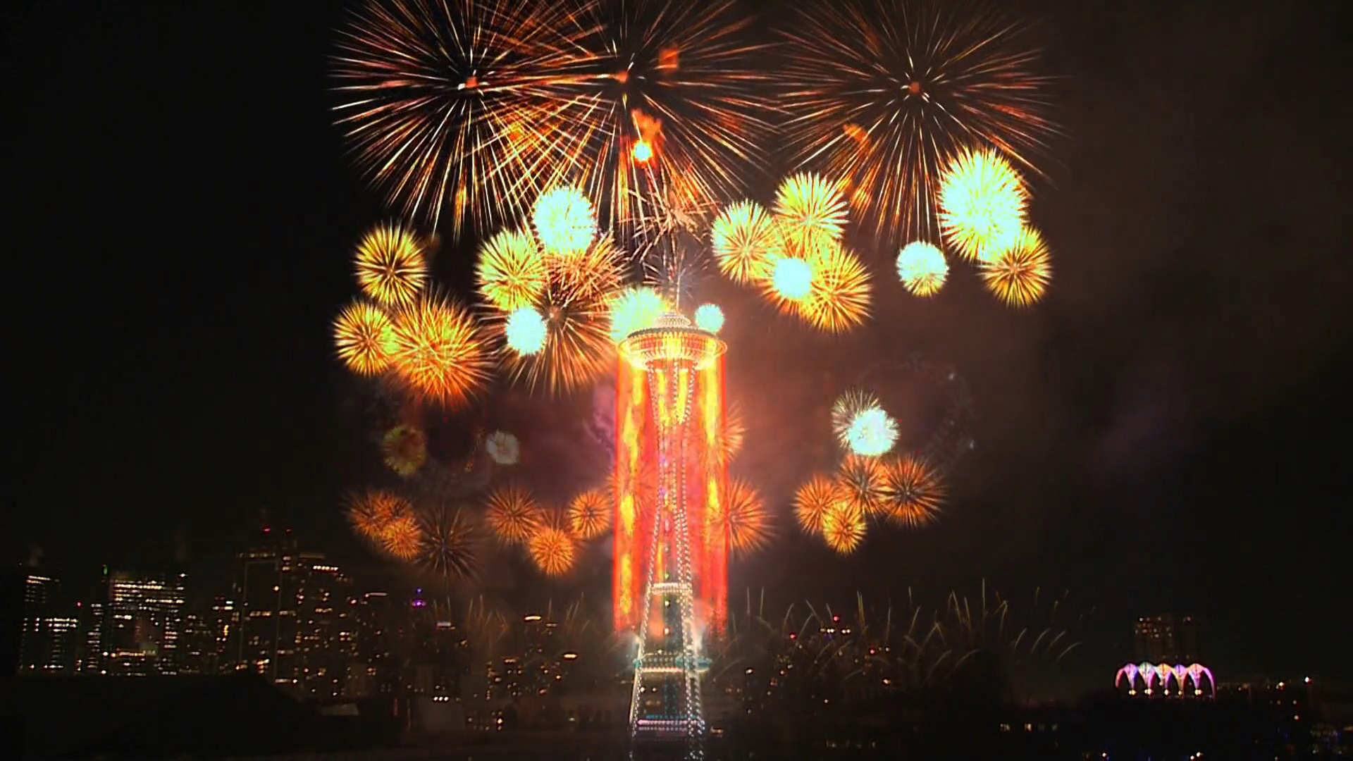
Here is a series of stills from the ‘augmented reality’ streaming video called T-Mobile New Year’s at the Needle. (T-Mobile is the second-largest wireless carrier in the United States, with 106.9 million subscribers as of the end of Q3 last year. They are headquartered in Bellevue WA and Overland Park KS.)
Look for Sasquatch, the Pike Place Market neon signs, Jimi Hendrix, an orca, drink coffee and stay strong, Kraken hockey players and The Kraken itself.
I had to go to a doctor’s appointment this morning.
I told myself ‘You can do it, don’t be a scaredy-cat’ (driving on the snowy, icy roads).
My car does not have snow tires, but the electric motor on the rear axle, plus another on the front axle, makes it an all-wheel drive. The wheels also have traction control (electronics that limit how much the wheels can spin, making it easier to drive on slippery surfaces).
I put a ‘scheduled departure’ into my Tesla app, a good practice in icy weather. That way the car is nicely warmed up inside, with the battery pre-conditioned (warmed up) as you get behind the wheel to drive out.
I was good to go.
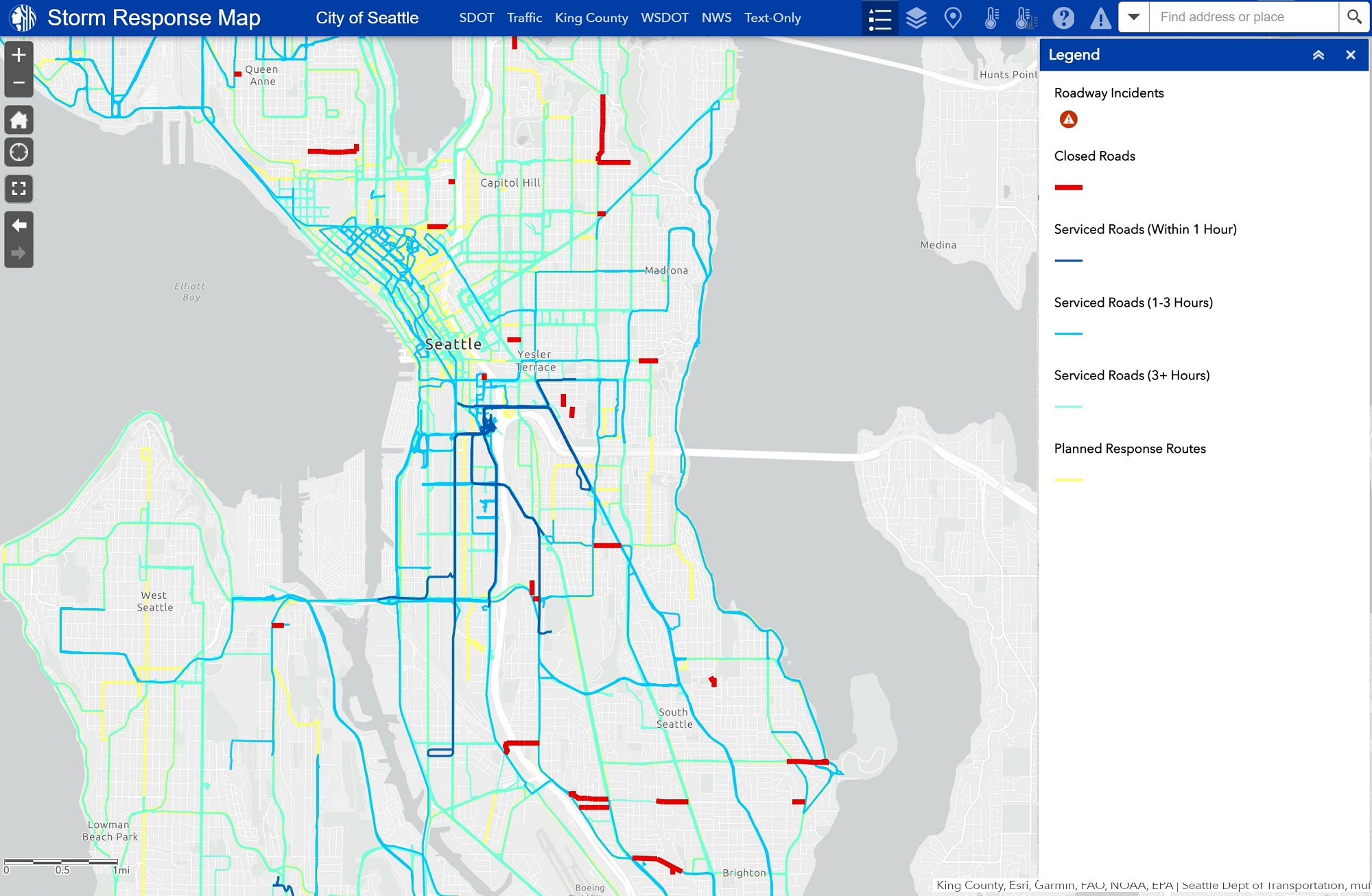
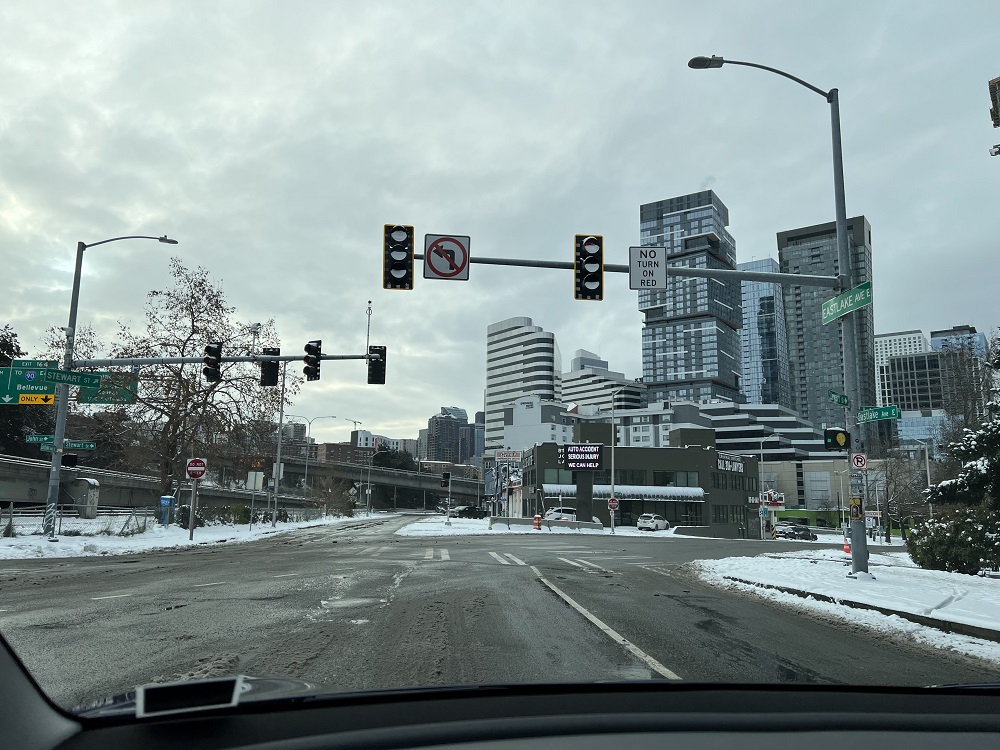
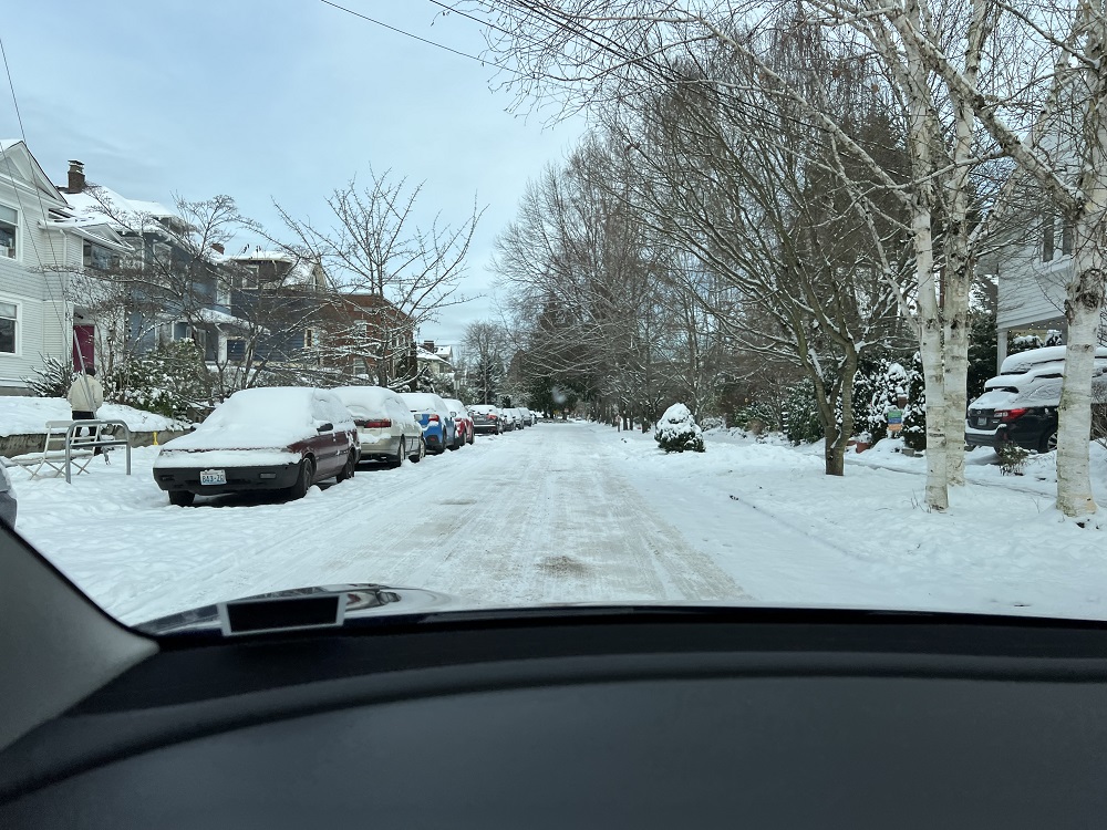
The City of Seattle provides this handy map of the roads that had been plowed. The reds are streets with steep grades— big trouble if they have snow and ice on.Here’s the Eastlake Ave & Stewart St intersection. ‘NO TURN ON RED’ .. but is it red? The traffic light scones are all clogged with snow, and one can barely make them out. This could be trouble for Tesla’s ‘Full Self-driving’ mode: an edge case, as it is called. I would think the car would come to a stop, when the cameras cannot make out the color of the signal (assuming they would recognize the boom & light fixtures as a traffic light).This is 18th Avenue. Not a problem to drive on, as long as one goes nice and slow. The brakes can do only so much to stop the vehicle on a slippery surface. (Yes, my Model 3 has anti-lock brakes, but I have no intention of testing them out, if I can help it).
Seattle had 6 in. (15.2 cm) of snow as the sun came up this morning, and that was it, for now.
The sun was out in full force this morning for an hour or so.
The snow on my roof melted and was quickly made into icicles.
The high for the day was only 25 °F (-4 °C).
Looking east towards the Space Needle from 14th Avenue & Thomas, just as it was getting dark.
I measured 3.5 in (9 cm) of snow on the rail along the deck in my backyard at about 1 pm today.
We might get another 3 inches the next day or two, I think.
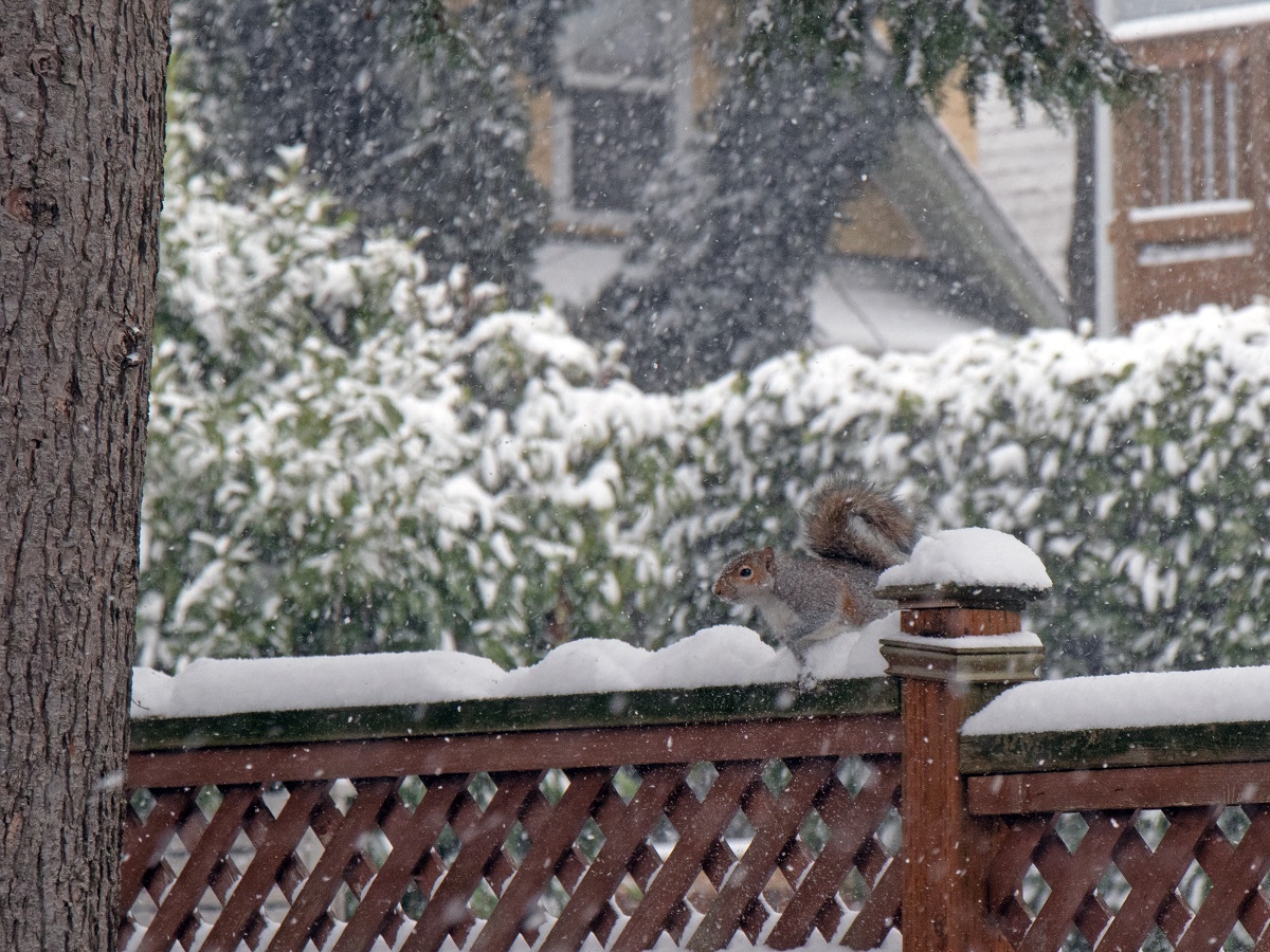
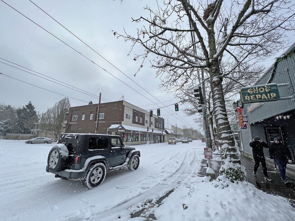
There were snow flurries all morning. Mr Squirrel came down from the tree, and ran in the snow along the top of the fence, even though it was just 25 °F (−4 °C) outside.Here’s 15th Avenue and Republican. Nice to have a Jeep to drive in the snow. Uncle Ike’s pot shop is open, as is the Hopvine bar, which is where the two guys on the right were headed. I guess they wanted to get out of the house.This is 16th Avenue at Republican. I spotted a snow plow truck last night, spewing salt onto some of the arterial roads to keep them clear as long as possible. I suspect that no longer works with 3+ inches of snow and freezing temperatures.
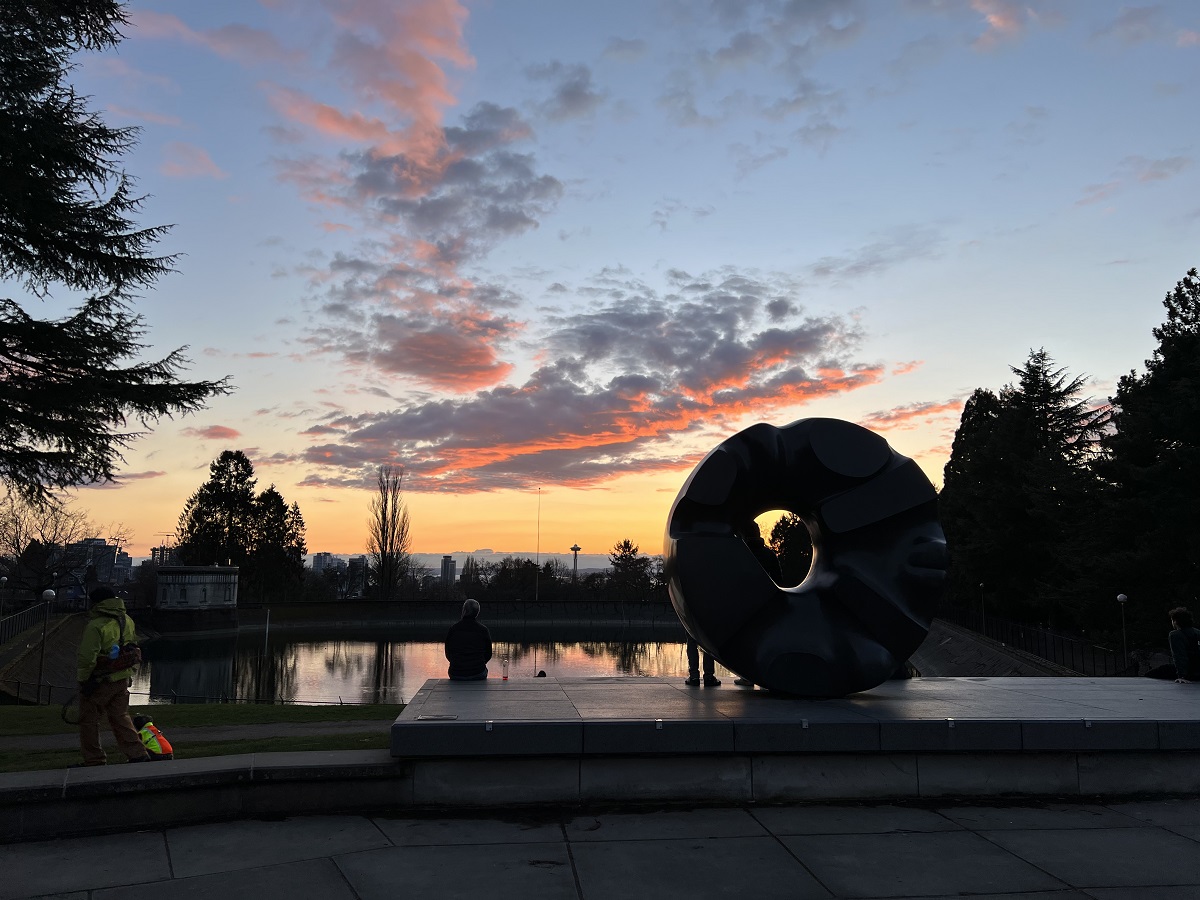
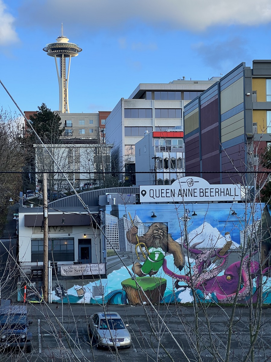
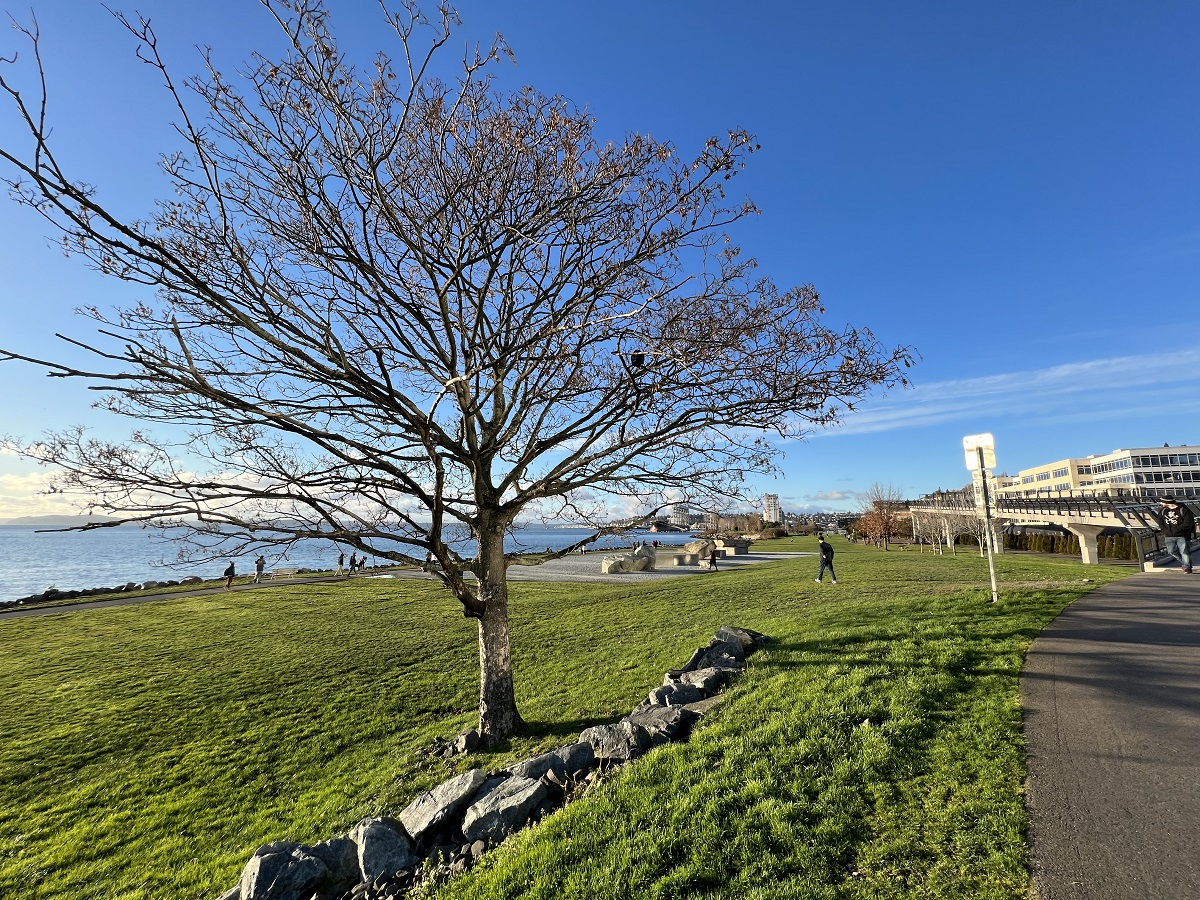
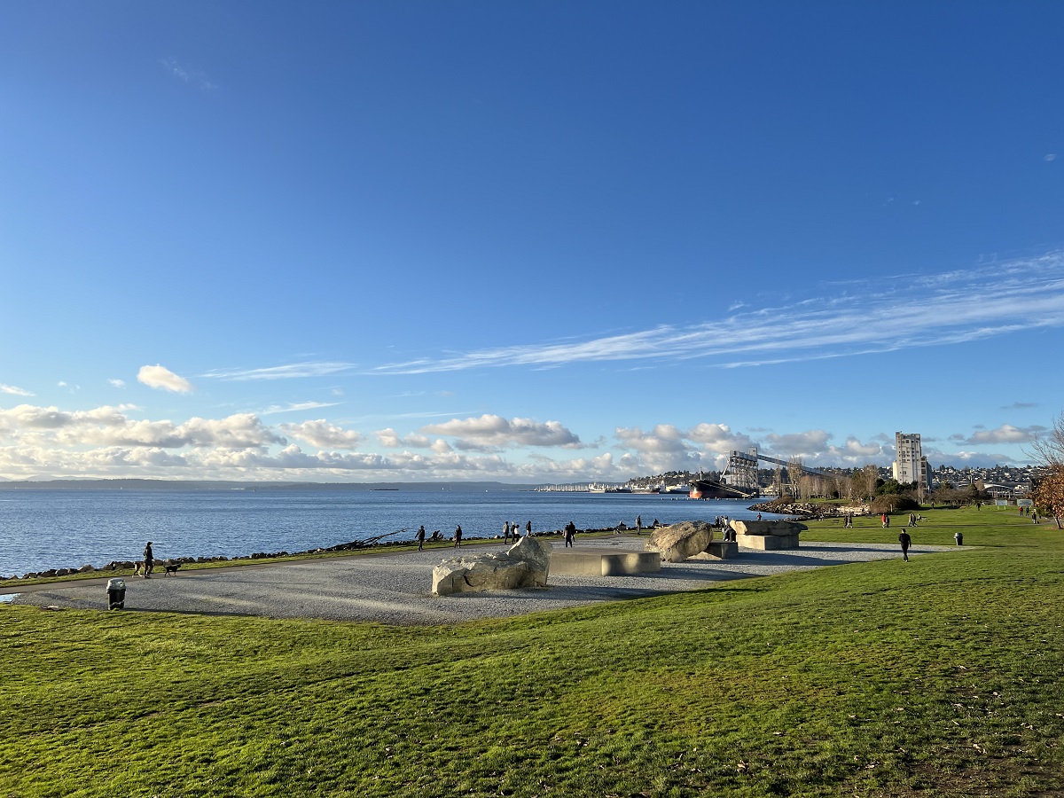
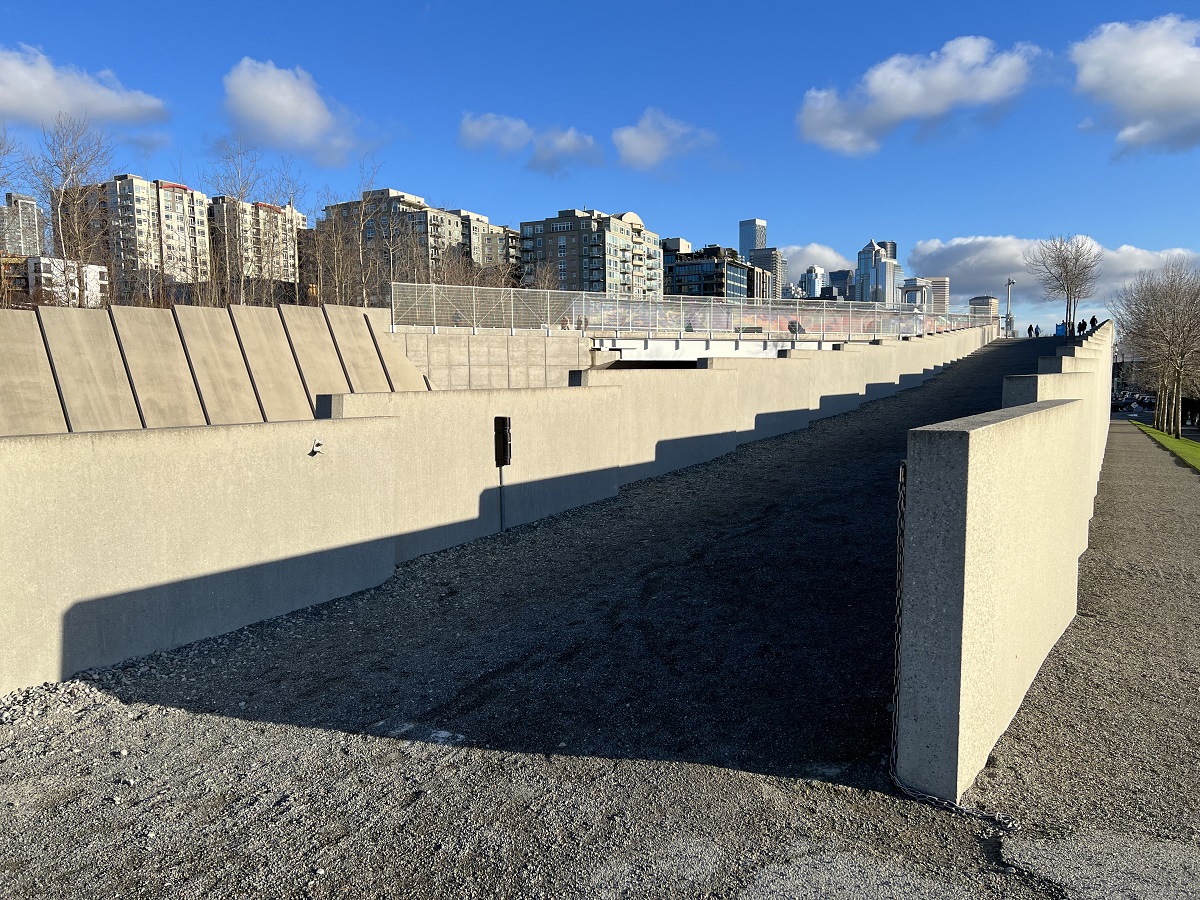
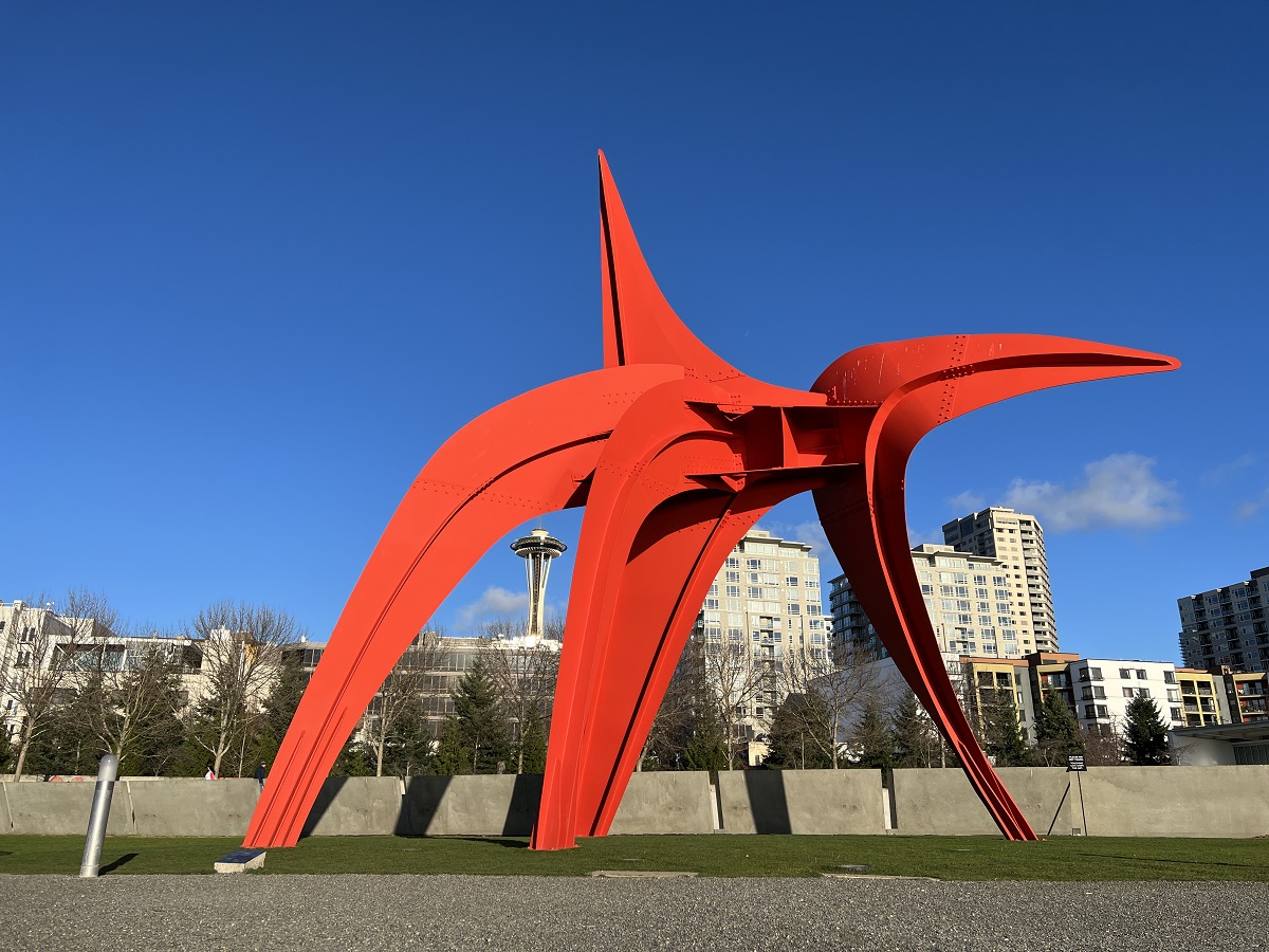
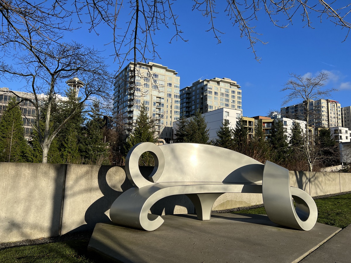
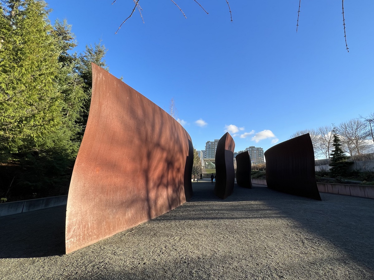
The skies were a beautiful blue today, and I went out to Olympic Sculpture Park to take a few pictures.
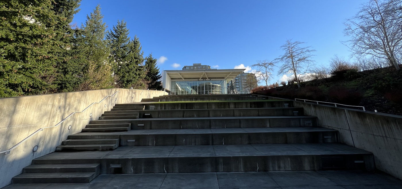
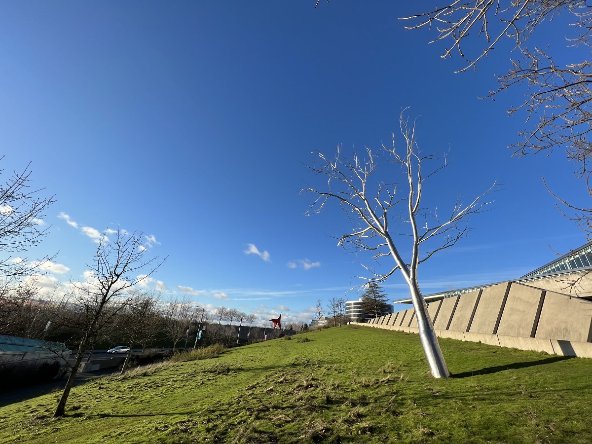
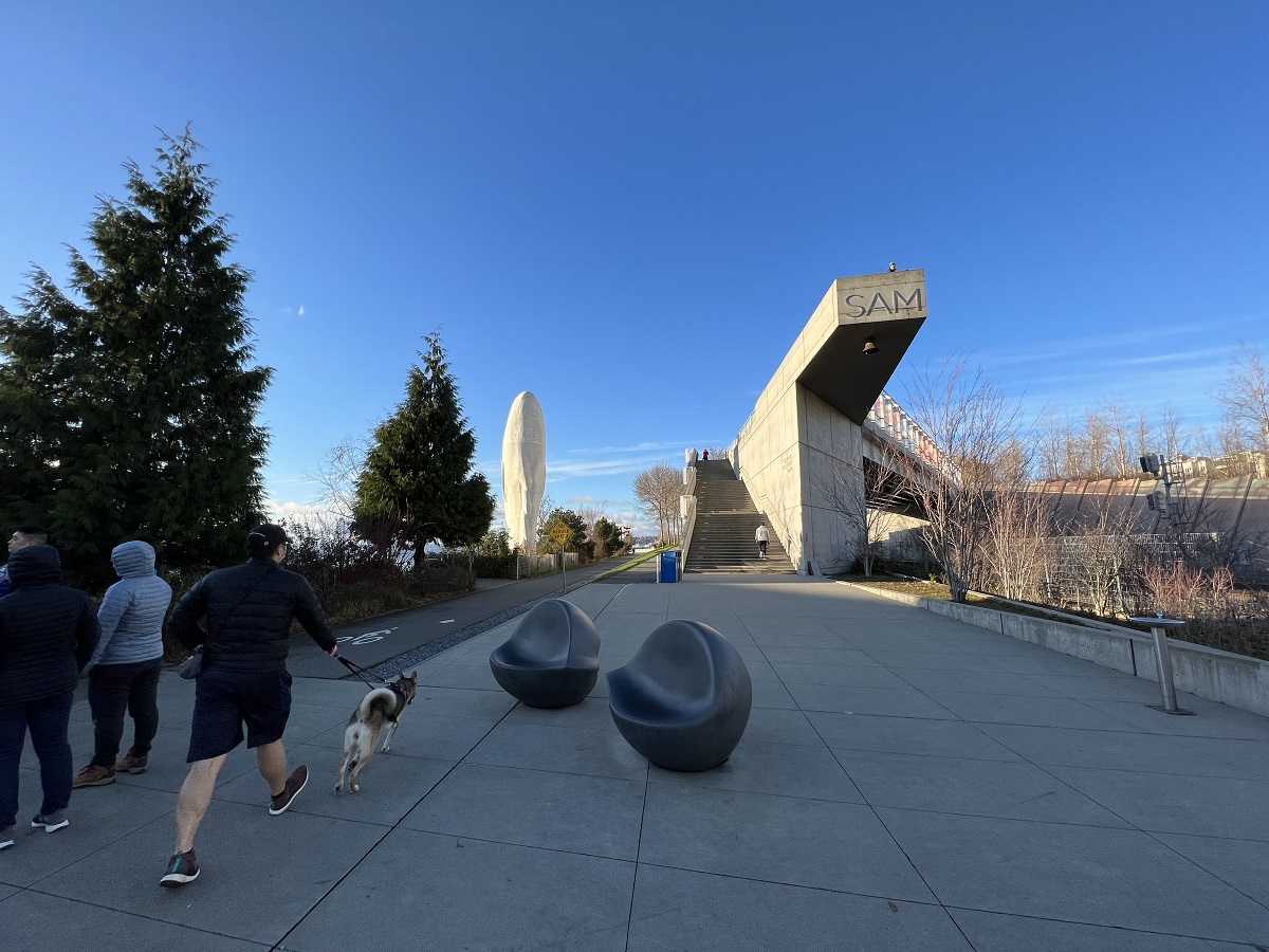
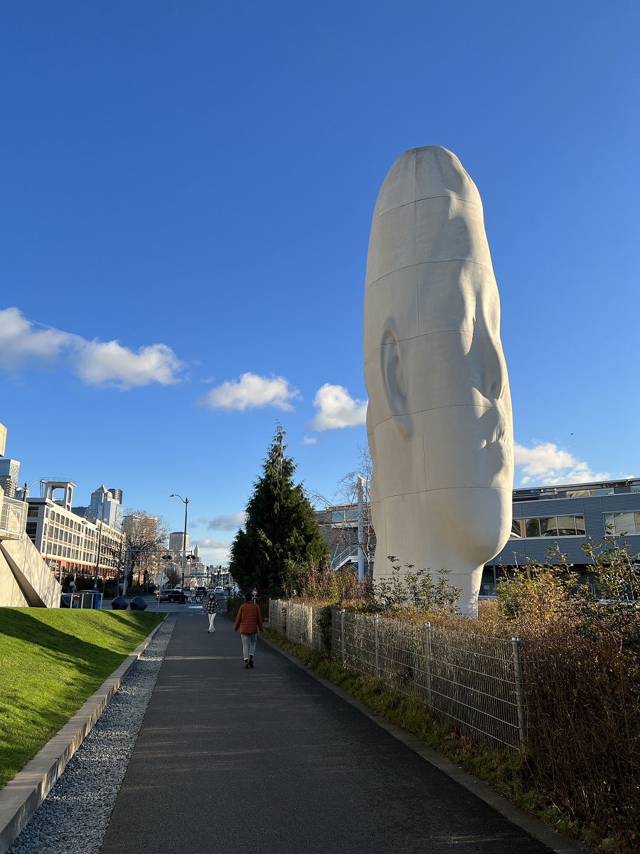
I parked by the pedestrian bridge on 3rd Ave West. This is a look back at the Queen Anne Beer Hall and the Space Needle from the bridge. I have not been to this Beer Hall; so I am putting it on my post-pandemic to-do list. Quaff a few beers at Queen Anne Beer Hall.Looking north after crossing the pedestrian bridge.A closer look at the artwork called Adjacent, Against, Upon (1976) by Michael Heizer. The granite slabs were quarried in the North Cascades. (This is Myrtle Edwards Park, on the way to Olympic Sculpture Park).The north entrance and ramp to Olympic Sculpture Park, with a long slanted pedestrian bridge that straddles the railway on the left.The Eagle (1971) by Alexander Calder.This bench is called Mary’s Invitation: A Place to Regard Beauty by Ginny Ruffner (2014), in honor of Mary Shirley, a benefactor of Olympic Sculpture Park.Wake (2004) by Richard Serra has five gently S-curved iron structures.The cafeteria and indoor space called Paccar Pavilion is closed. The steps in front of it is called the Bill & Melinda Gates Amphitheater.What is nature, and what is art? Split (2003) by Roxy Paine, a tree made of stainless steel tubes of 20 different diameters.Making my way back around the south end of the Park, with the south of the staircase going to the slanted bridge across the railway. SAM stands for Seattle Art Museum.Echo by Jaume Plensa (2011), a Barcelona-based artist. The sculpture’s title refers to a mountain nymph in Greek mythology that had offended the goddess Hera. As punishment the nymph was deprived of speech, except for the ability to echo the last word of another, spoken to her.