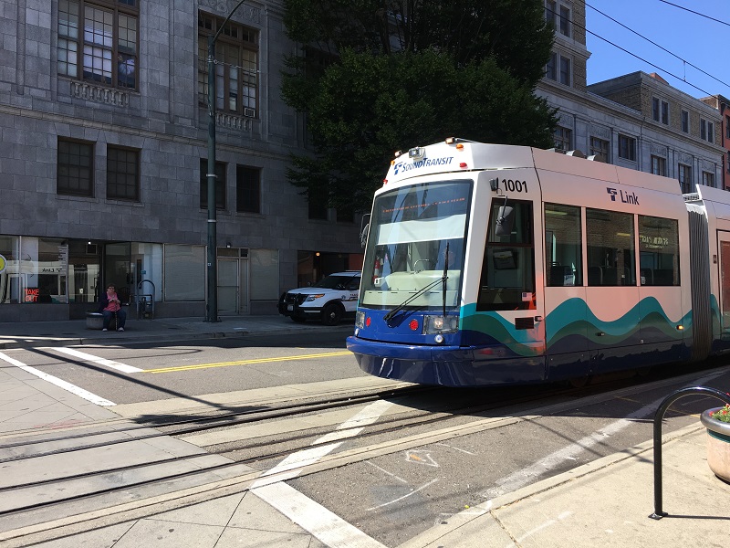
It was a beautiful first day of fall here in Seattle, with puffy white clouds in a blue sky and mild temperatures (65 °F/ 18 °C). I went down to South Lake Union for just a bit, and took the streetcar and No 8 bus back up to Capitol Hill.
a weblog of whereabouts & interests, since 2010
It was a beautiful first day of fall here in Seattle, with puffy white clouds in a blue sky and mild temperatures (65 °F/ 18 °C). I went down to South Lake Union for just a bit, and took the streetcar and No 8 bus back up to Capitol Hill.
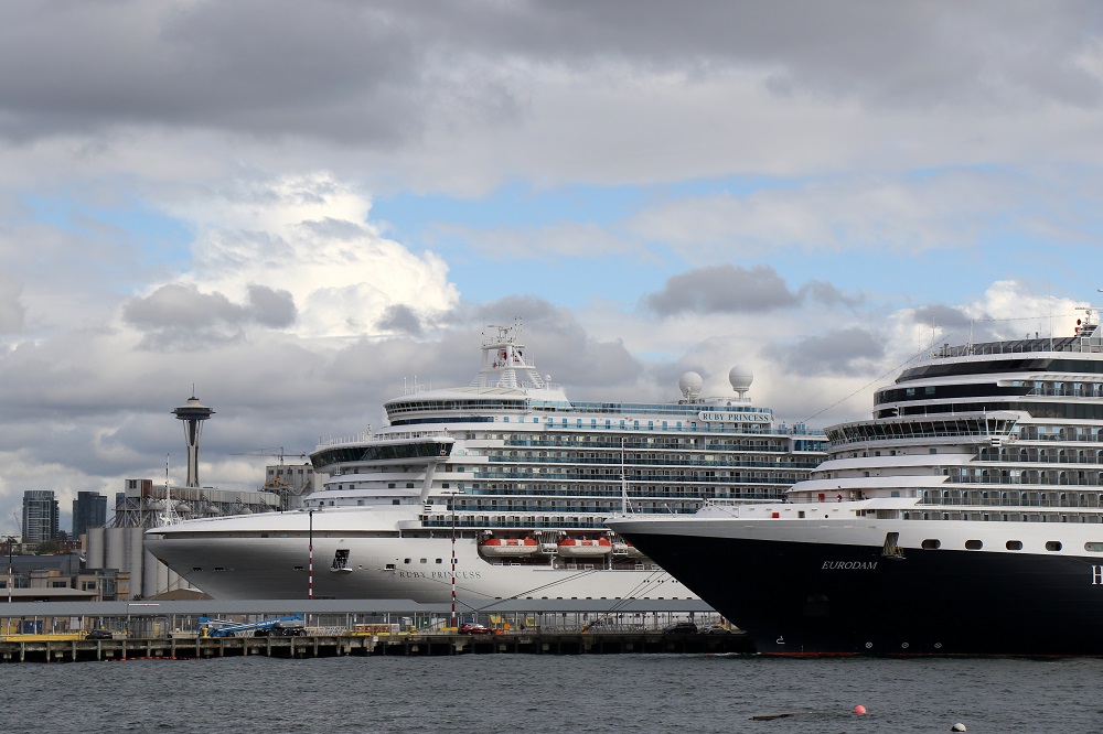
Fall has started, and the cruise ship season is winding down. (The last sailing from Seattle is Oct 10). Friends of ours left on a cruise this afternoon from the Smith Cove cruise terminal. Bryan and I went there to wave them goodbye – but we could not get quite close enough to the pier! We settled for views of the cruise ship departures from the Elliott Bay marina.
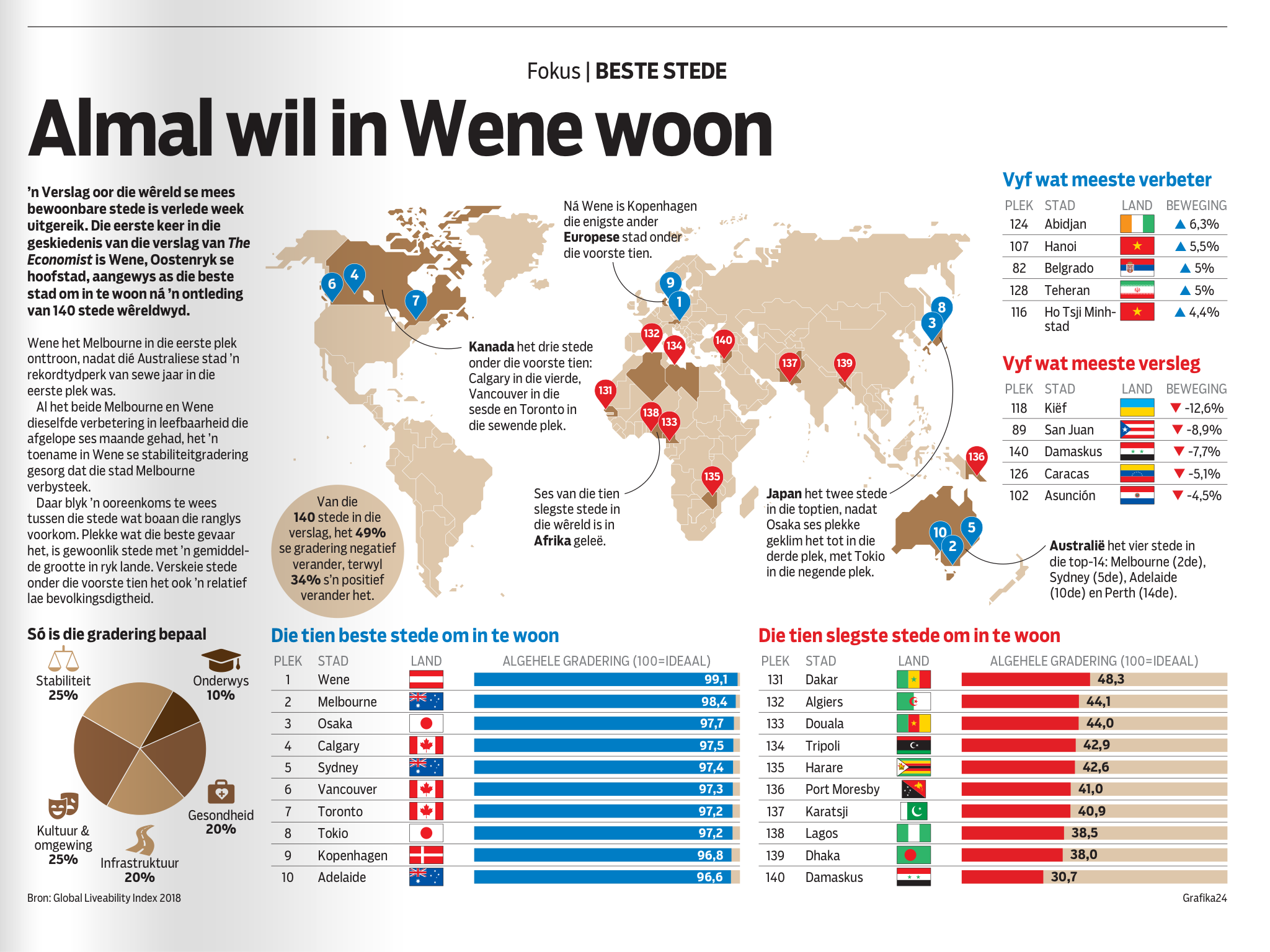
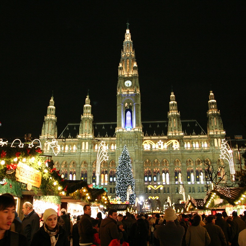
Hmm .. I see The Economist has given Vienna the nod as the world’s ‘best city’ to live in. (Melbourne had been at the top of the list for seven straight years). No American city made the top 10 .. but of course: Seattleites scoff at the notion that Vancouver is better than Seattle. That number 6 pointer on the map should move south to just below the Canadian border!
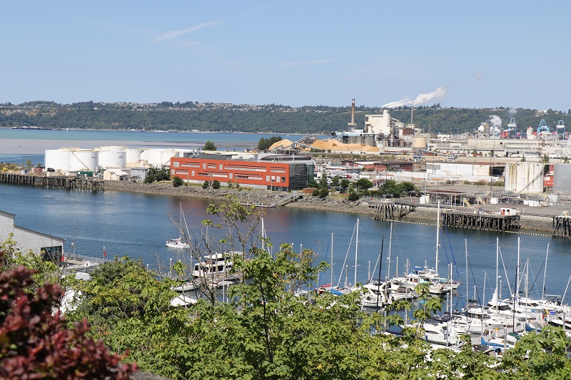
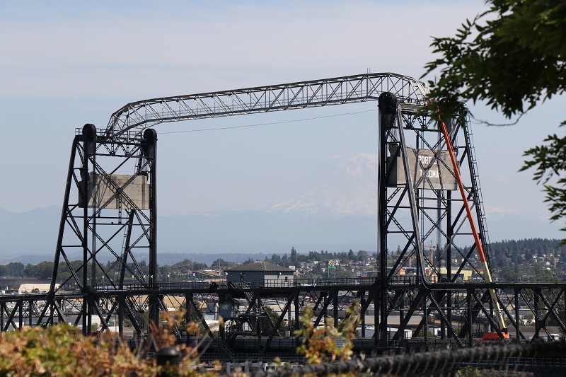
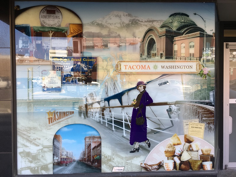
A vintage-LEGO-set-for-cash deal went down in a Tacoma parking lot today. (I made a run down there to buy a LEGO set advertised on Craigslist. Will show what I got, later).
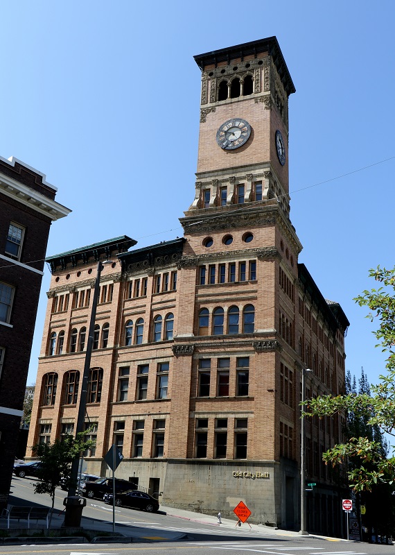
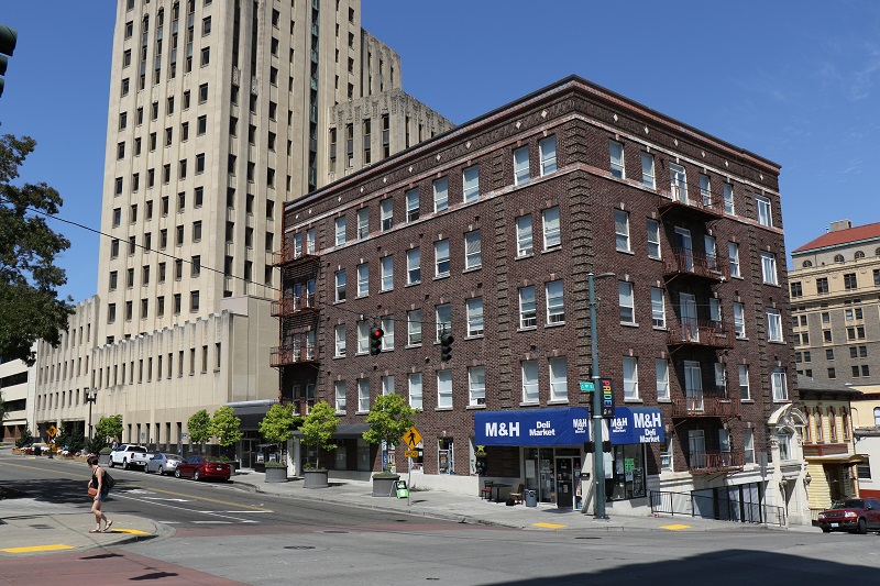
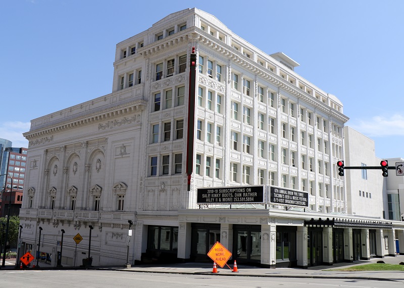
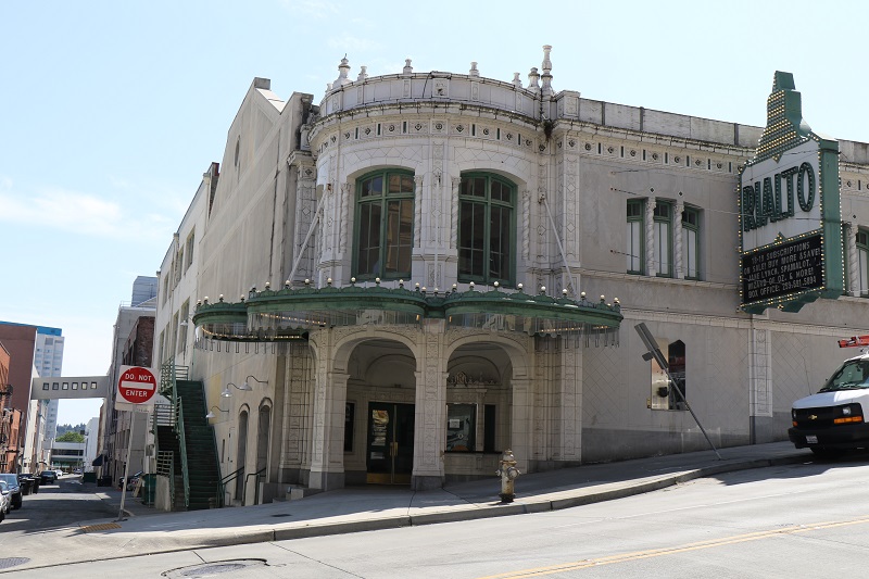
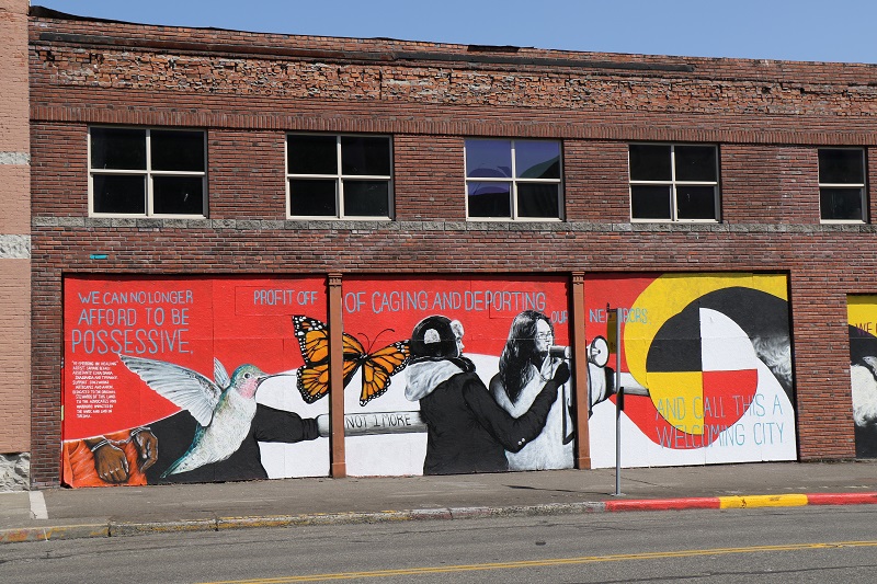
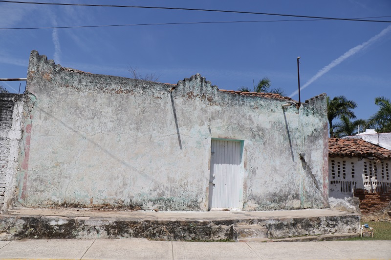
On the way back, I stopped on Pacific Avenue in the old downtown of the city of Tacoma, and took a few pictures.
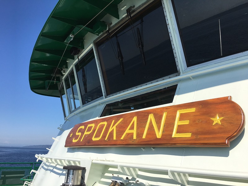
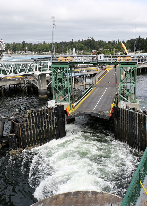
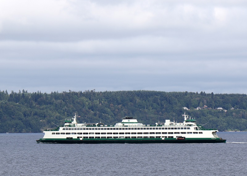
I hopped on the ferry on short notice this afternoon, to go out to my friend Paul’s in Hansville.
Wed morning 7/18: A few more pictures, from my return trip to the city.
I had to Google Uruguay after their win over Portugal in the World Cup. Officially the ‘Oriental Republic of Uruguay’ (Spanish: República Oriental del Uruguay) – it is a remarkable country, slightly smaller than the state of Washington, with some 3.3 million people.
More than half the population live in the capital of Montevideo. Uruguay gets high marks for its ‘liberal social laws, and well-developed social security, health, and educational systems. It is one of the few countries in Latin America and the Caribbean where the entire population has access to clean water’ (from the CIA World Factbook).
The country gets 95% of its energy from renewable resources. (Washington State is at about 85% electricity generation from renewable resources, with 8% of electricity from burning natural gas, and 7% from burning coal).


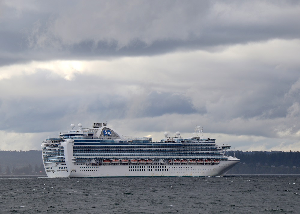
The Norwegian Bliss is brand new, and the biggest cruise ship to visit Seattle yet. (Royal Caribbean’s Symphony of the Seas is slightly bigger).
The Bliss’s passenger capacity is 4,004, crew of 1,716, cruise speed 23.2 knots from diesel electric engines, length is 1,094 ft (333.5 m) and maximum beam 136 ft (41.5 m).
She was constructed at Meyer Werft in Papenburg, Germany.


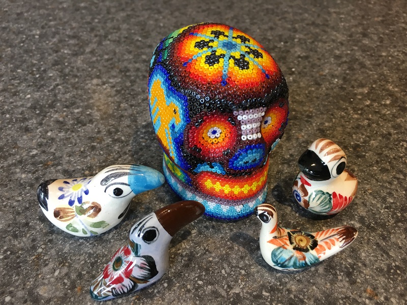
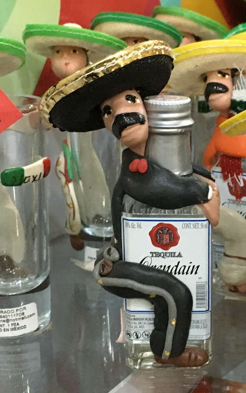
I had no problem getting an Uber driver at 3 am this morning. There is a new, designated spot in the Seattle airport’s parking garage, and Abdulqadir (my driver) showed up in his Toyota Prius in 7 minutes. As always, it was nice to unpack my little souvenirs from Mexico, from my bags today!
My wonderful time in Mazatlán came to an end today – alas! Off to the aeropuerto it was, at noon.
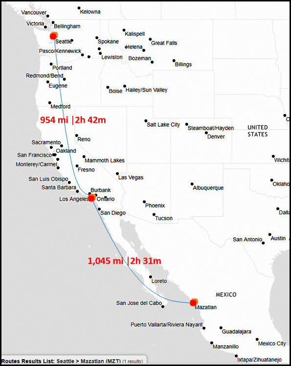
My layover is again at Los Angeles (LAX), and I will catch a red-eye flight out to Seattle in another 3 hours or so.
I will try to summon an Uber car in the wee hours of Thursday morning, to take me home. If I don’t succeed, I can always stay over in a cheapie Seattle airport hotel until later in the morning.
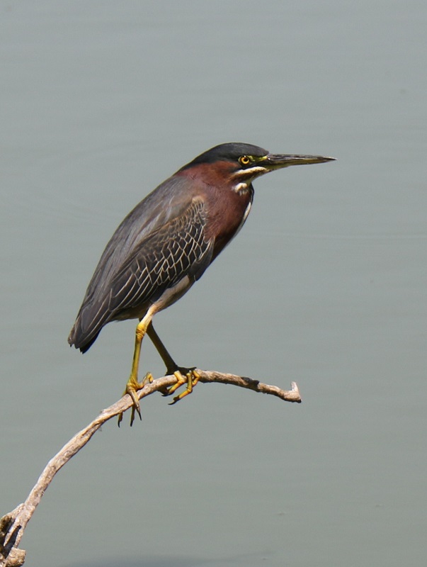
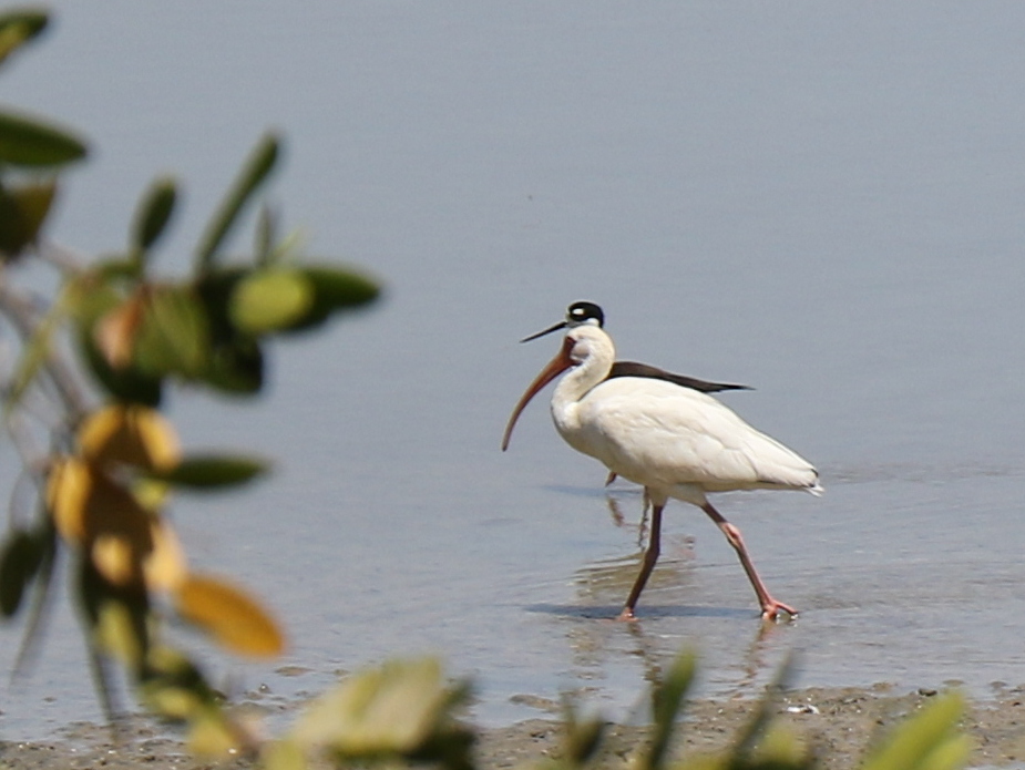
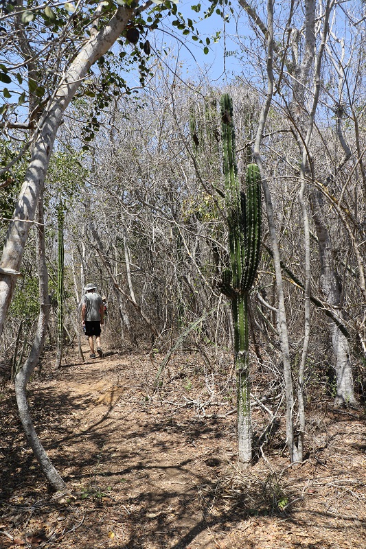
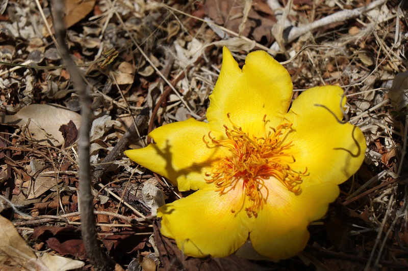
Estero del Yugo is an estuary in the far northern outskirts of the city of Mazatlán. There is a trail around it that we traversed today. The foliage around the estuary is dry this time of year, and the water level was low.
Even so, we spotted herons, ibises, pelicans and a beautiful pileated woodpecker with its red-crested head. A single deer across the water made an appearance as well, but we did not see it again, even after we had made it to the other side.
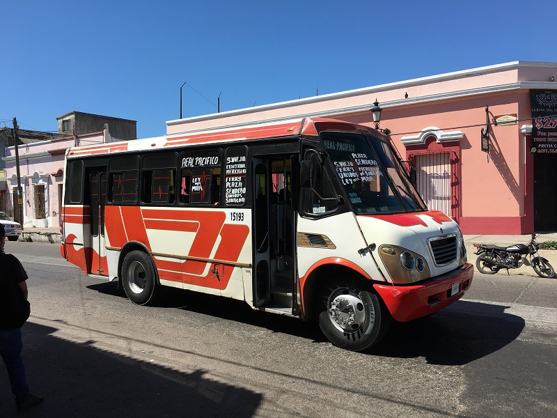
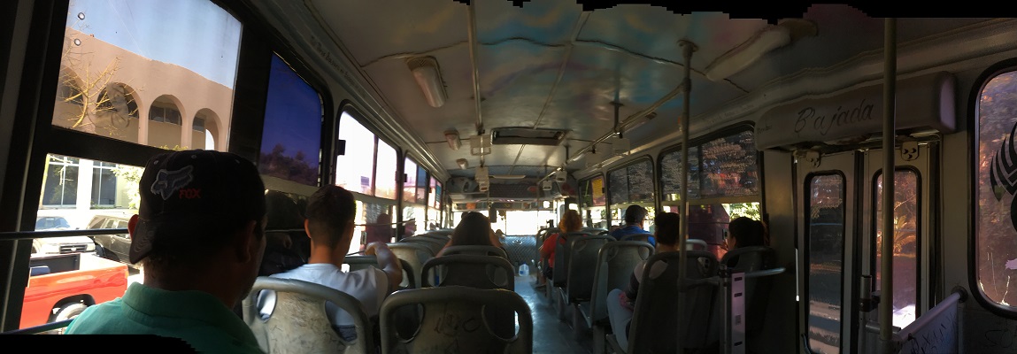
We took the bus today to Juarez in the north of the city of Mazatlan. It’s complicated for a visitor, since the bus stops are not marked with route numbers.
One has to look for the destination that’s written onto the bus (and even then the bus does not always go to the same place in that destination). A good thing I had a little help from my friends here!
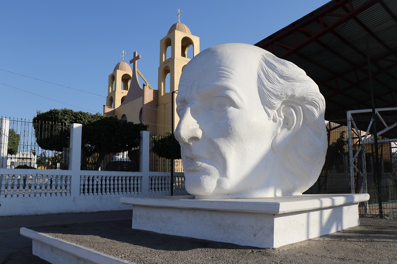
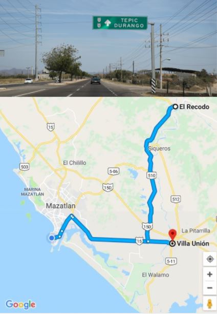
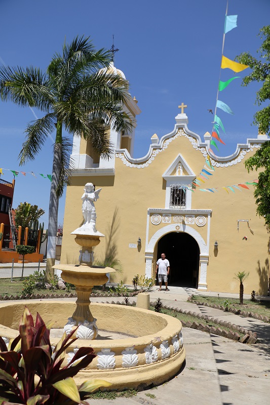
On Sunday, we drove out to the town of El Recodo and made a stop at Villa Unión for lunch at a famous seafood restaurant.
We were very lucky to run into a tour guide in El Recodo to show us around. He also phoned ahead to the very popular restaurant in Villa Unión, which allowed us to get in almost right away.


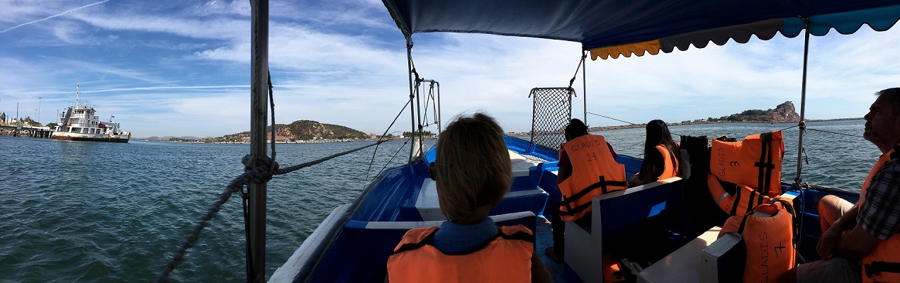
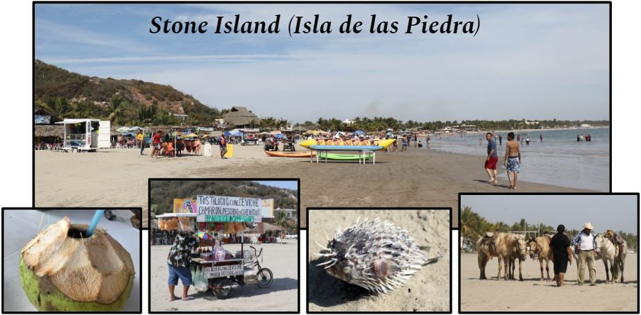
We went out to the beach at Stone Island today (look for Isla de la Piedra on Friday’s map). From where we are, we needed to cross the waterway north of the harbor to get there.
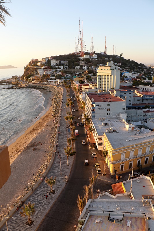
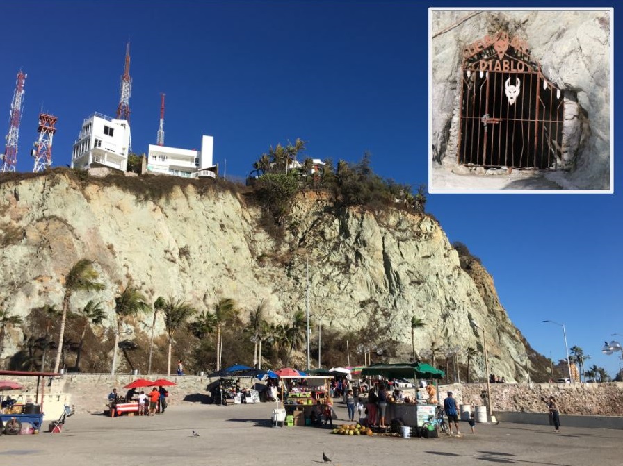
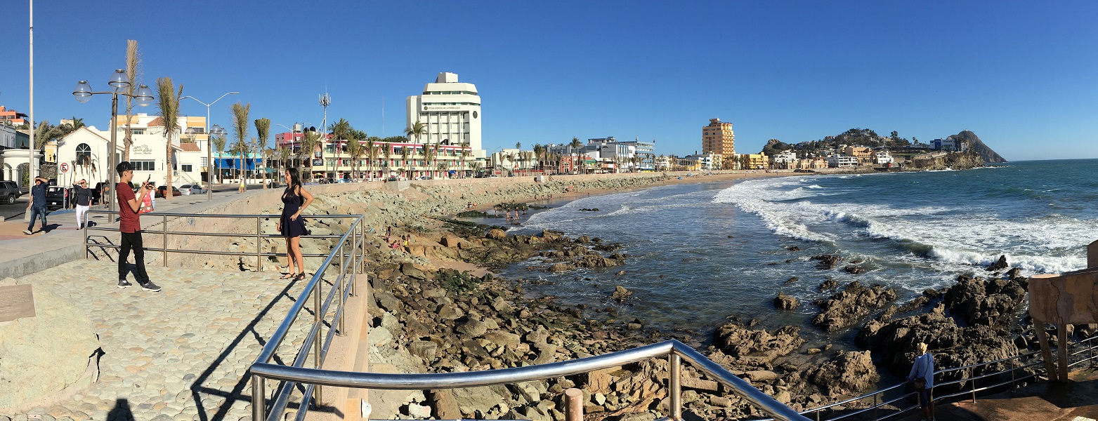
We walked up the hill to the observation deck called El Mirador (‘The Lookout’) tonight for a beer at the new restaurant there, and for the great views of the harbor and the lighthouse called El Faro.

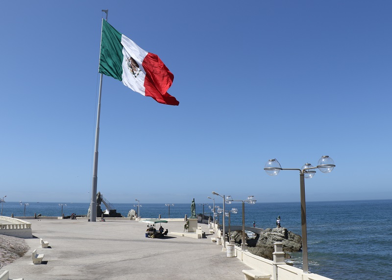
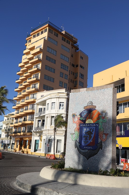
The Mazatlán Malecón is a 13-mi. (20 km) promenade that is lined with street vendors, shops and restaurants, and Pacific ocean views.
I made it into Mazatlán on Monday. My Uber driver showed up in just a few minutes after I had summoned him, even though this was 3 am in the morning! (to make my frightfully early departure out of Seattle airport at 5 am).
I arrived in Mazatlán on a national holiday, Benito Juarez’s Birthday. Juárez was a national hero and president of Mexico (1858-1872).
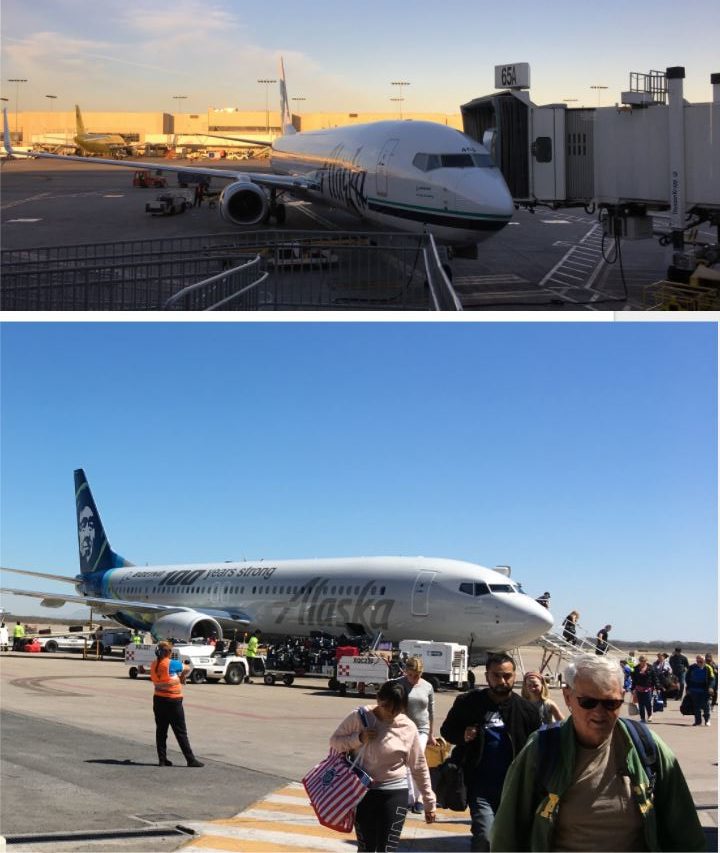
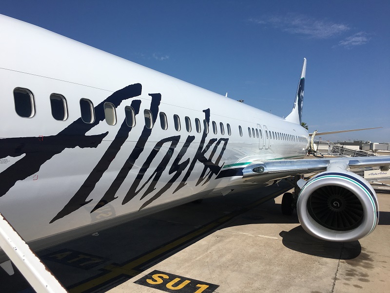
Top: Alaska Airlines, at the gate at LAX after our arrival at 7.30 am. Bottom: Shortly after our arrival at Mazatlan airport. The airport is really small – only one other jet was there at our arrival. There may be only as many as 4 or 5 jets on the gates at the airport at any one time.
My bags are packed .. for a trip to Mazatlán, Mexico, to visit my friends Bryan and Dale there. I will take Alaska Air: two 2 ½ -hr flights, with a stop at LAX. I’ve been to Puerto Vallarta, to Nogales (border city south of Tucson, Arizona), and to Cancun, but not to Mazatlan.
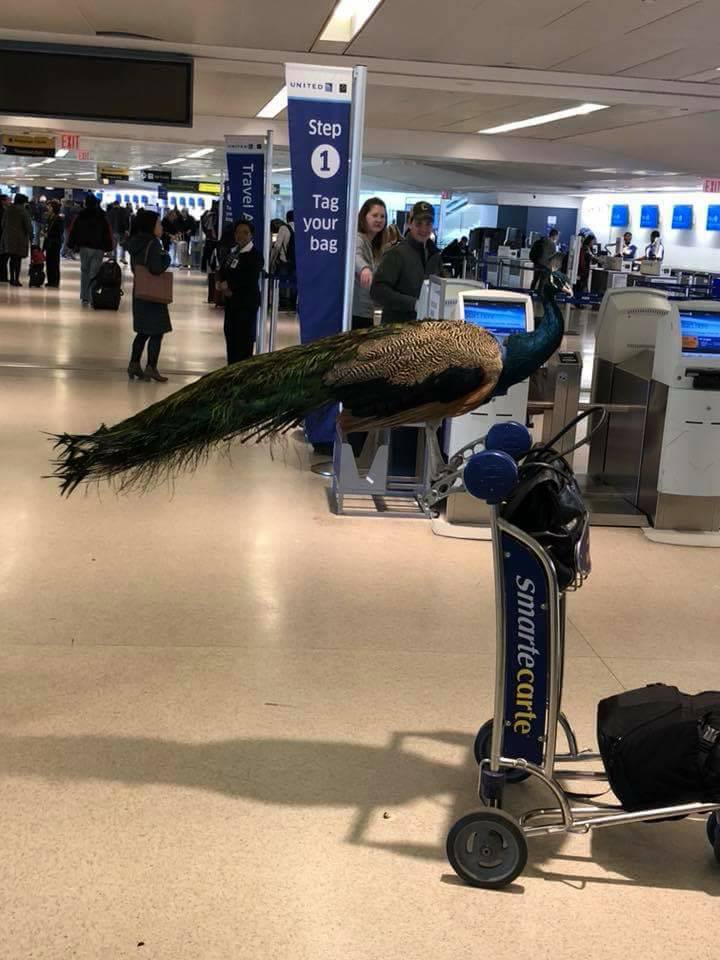
Dexter the ’emotional support’ peacock was denied access on a United flight from New York to Los Angeles on Saturday, even though his owner paid for an extra seat for him. (I am sure everyone on the plane would have needed emotional support, with a screaming peacock in the cabin).
Maybe all of this was simply a ploy to entertain Dexter’s 5,000 followers on Instagram.
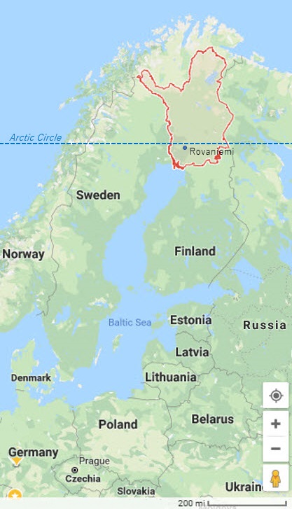
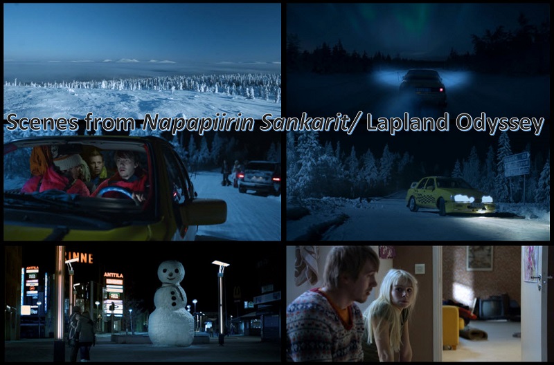
Last night I watched ‘Lapland Odyssey (2010)‘ (Finnish, subtitled in English). It reminded me a little of The Hangover (2009): three buddies on a mission to help the one who’s in trouble with his girlfriend.
I was intrigued by the movie’s snowy landscapes, and the flashes of Northern lights in the sky. Some scenes feature Rovaniemi, the capital of Lapland, in northern Finland.
The town was virtually destroyed during World War II, but today it’s a modern little city billing itself as the ‘official’ home town of Santa Claus (it has a Hotel Santa Claus), and for viewing the Northern Lights.
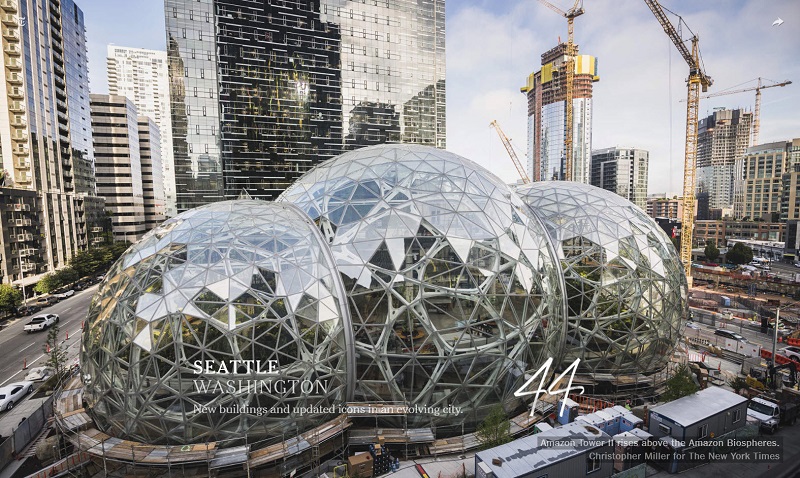
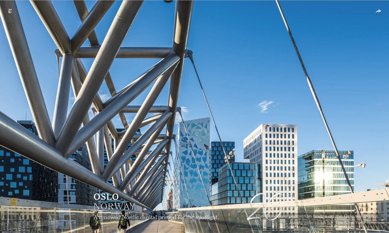
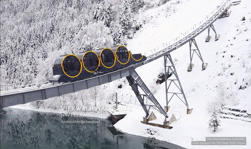
Hey! Seattle is featured on the New York Times list of 52 places to go for 2018. It’s quite a spectacle, the set of pictures that the New York Times compiled, some of them animated.