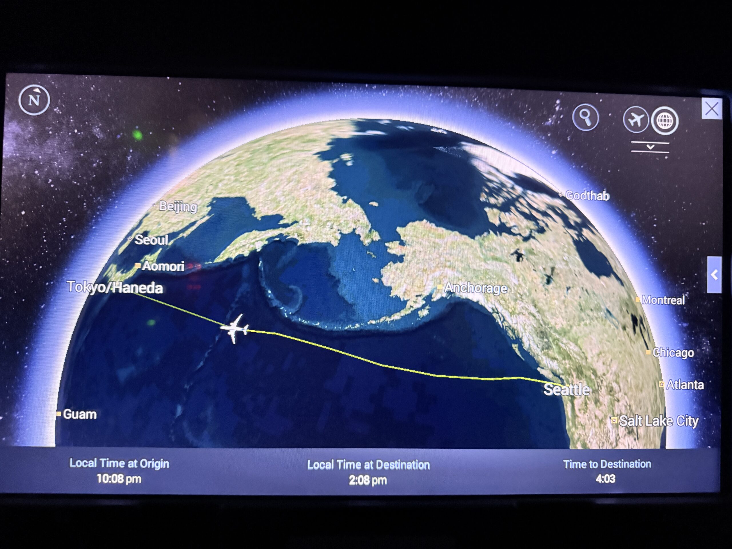
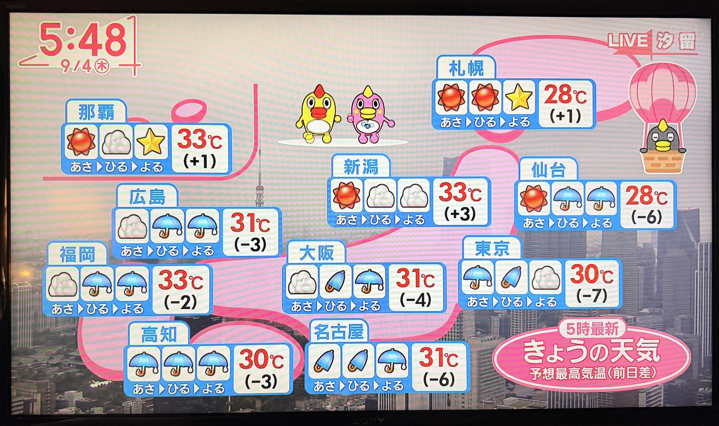
There was drizzle on and off here in Tokyo on Thursday, at a damp 85°F (30 °C).
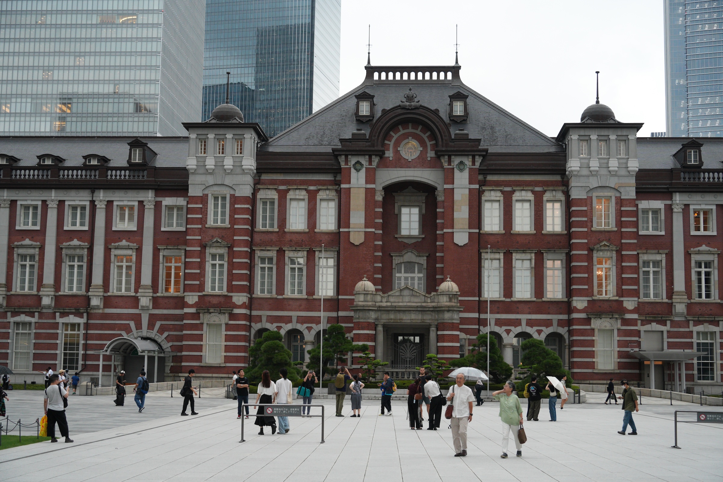
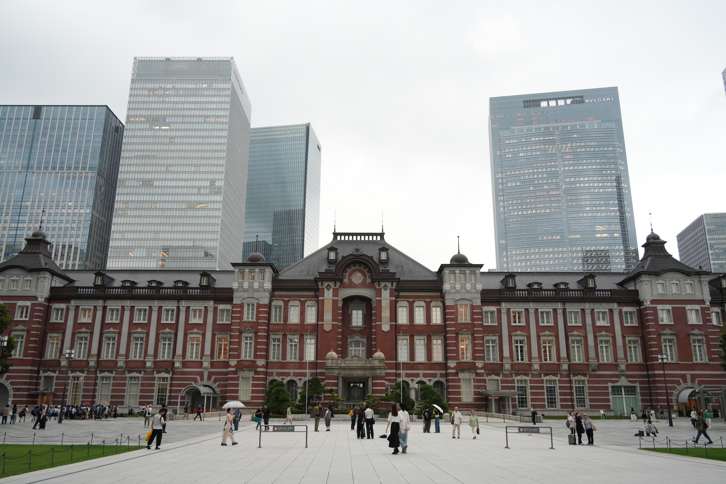
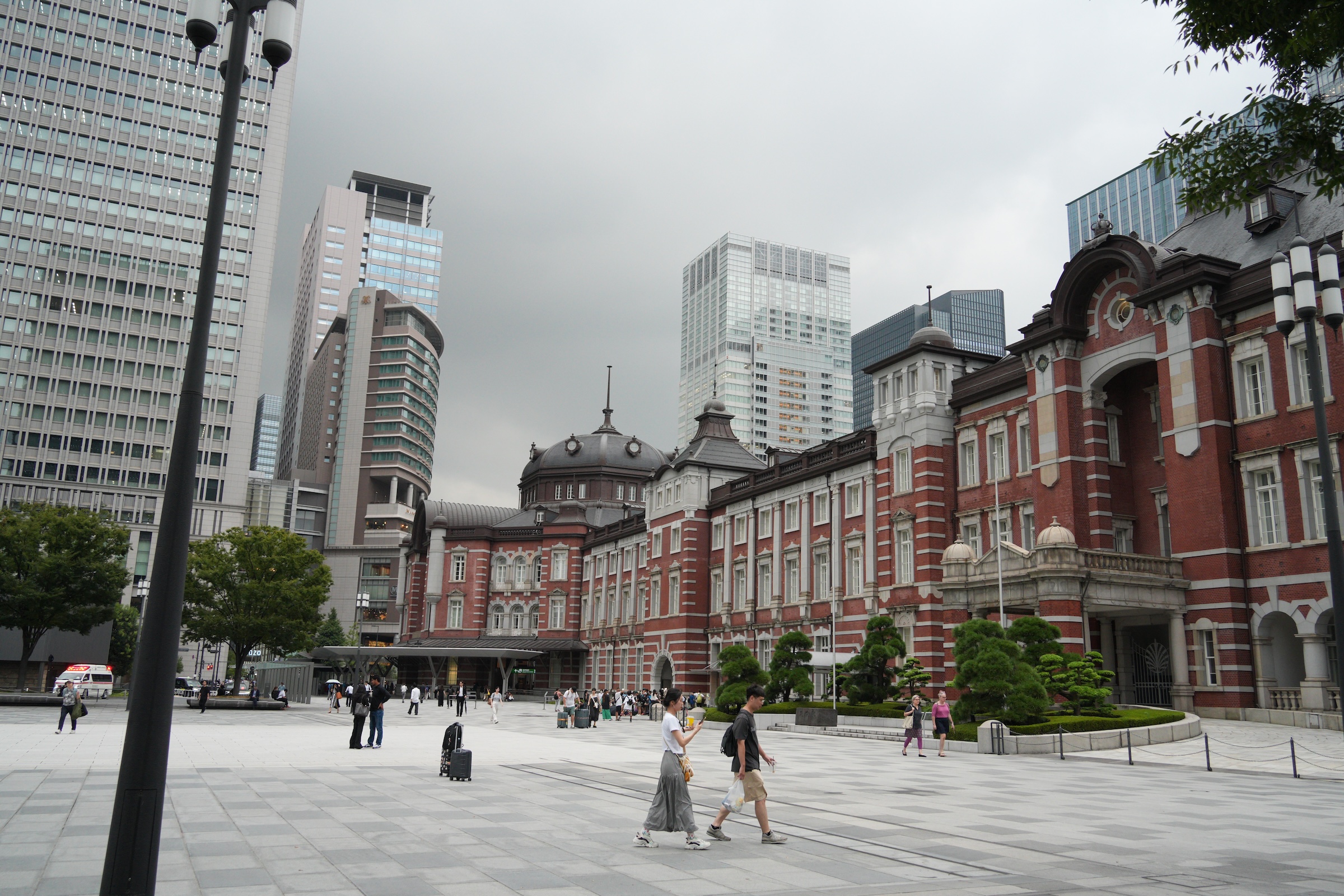
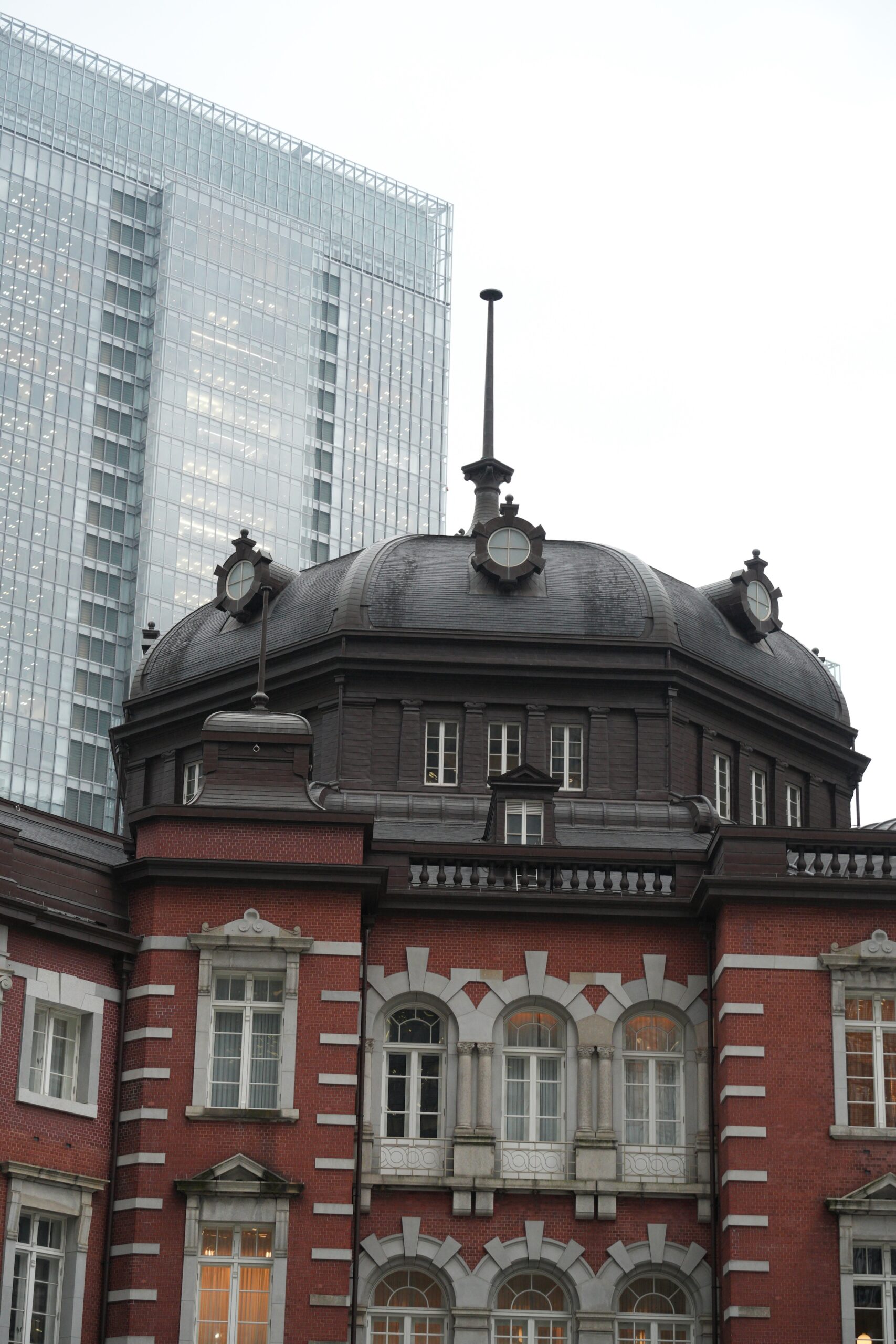
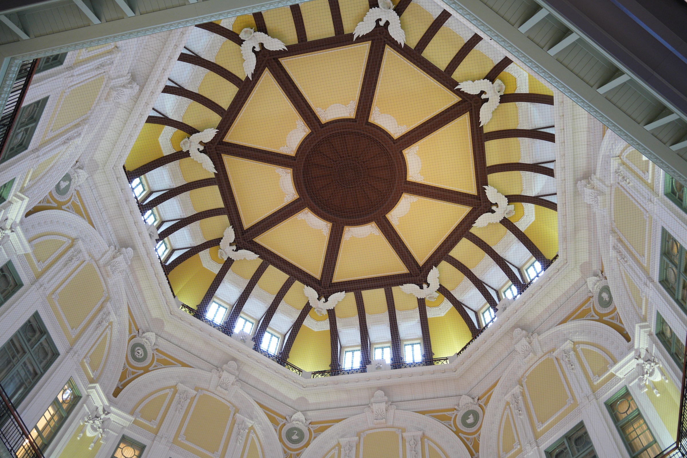
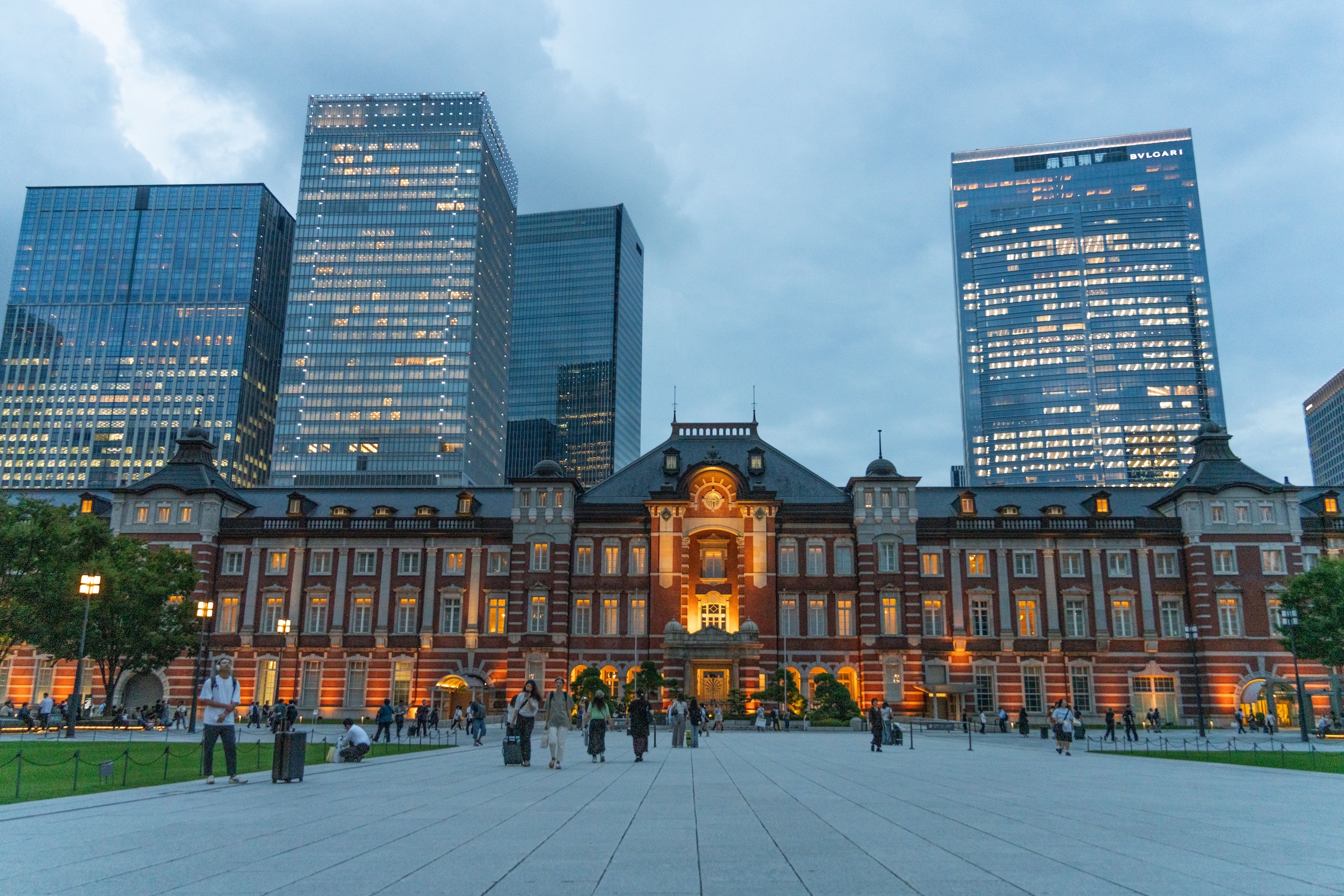
Outside, I could only take pictures here and there with my big camera, but managed to get a few of the iconic 1914 Tokyo Station building (extensively renovated and restored in 2012).
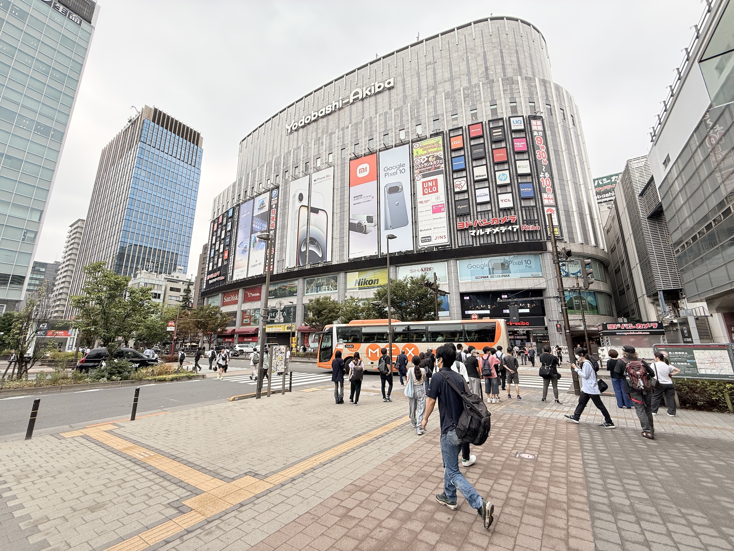
I also made my first run to the Yodobashi Akiba store in Akihabara.
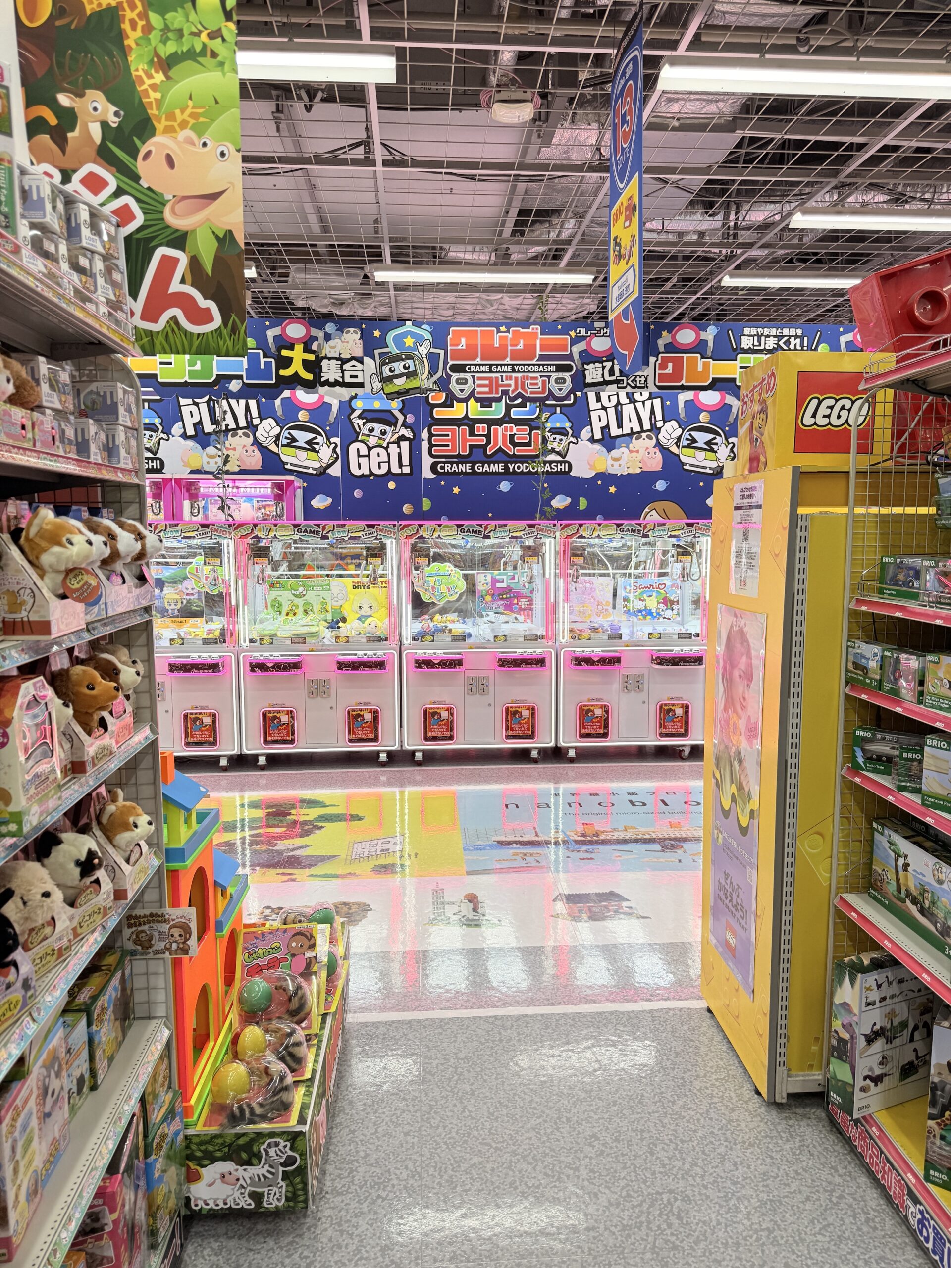
In Japan, claw machines are most commonly called “UFO catchers” (ユーフォーキャッチャー) or “crane games” (クレーンゲーム). The term “UFO catcher” comes from the appearance of the claw mechanism, which resembles a UFO descending to capture a prize, a term popularized by Sega when they introduced the game in 1985.
[From Wikipedia]
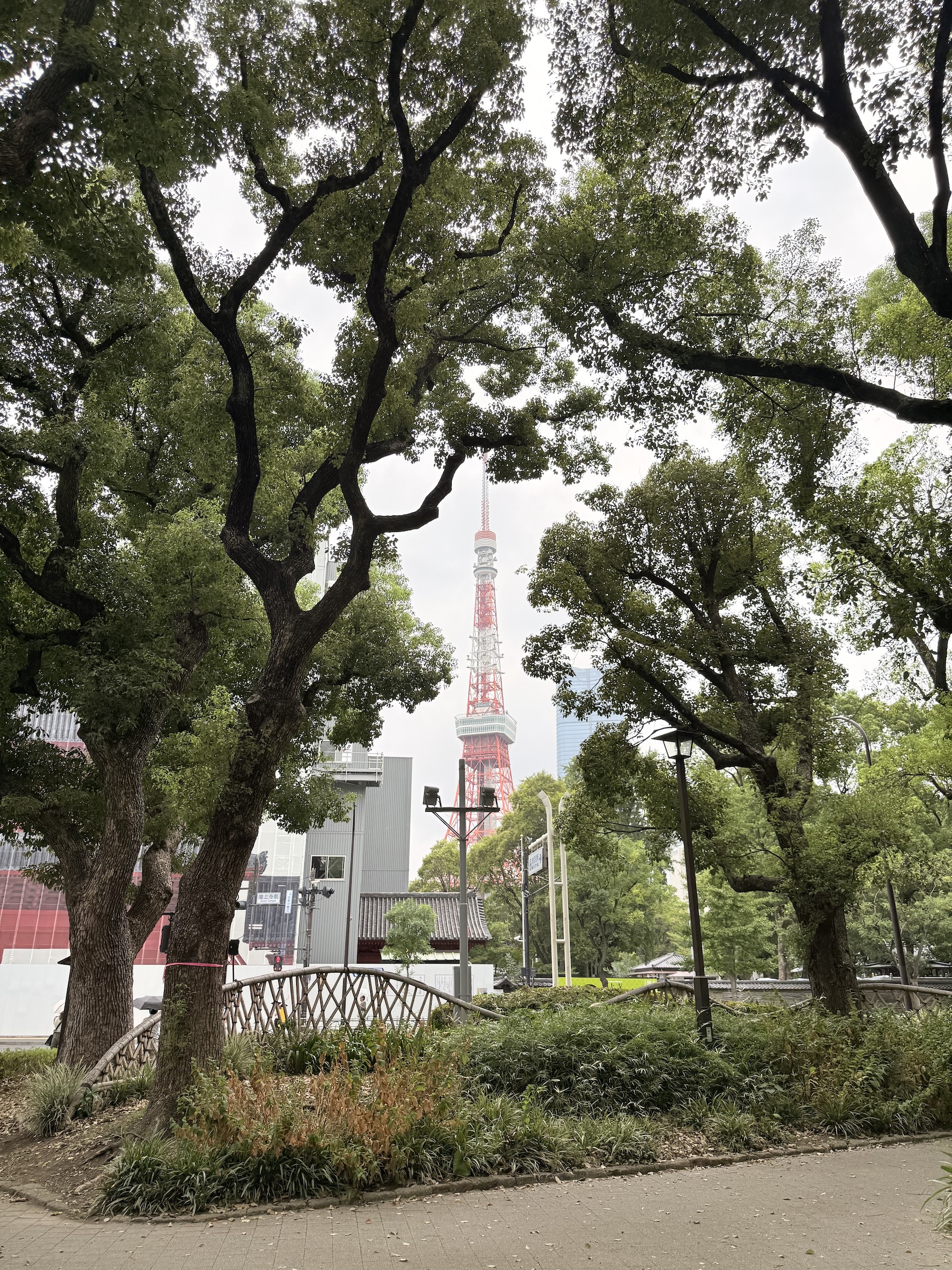
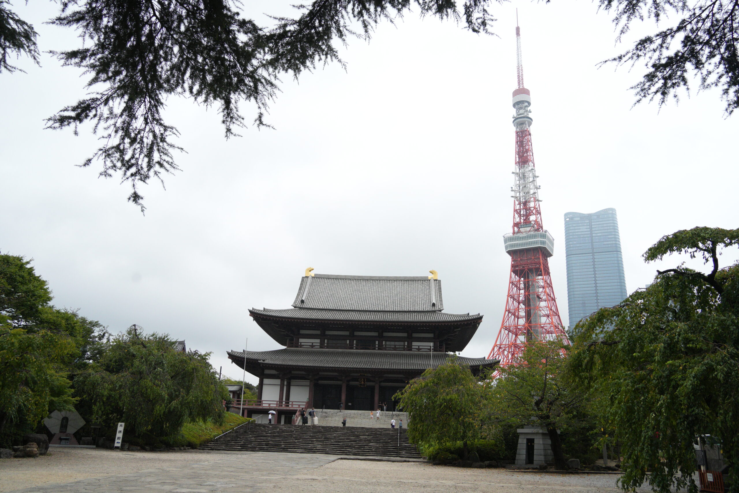
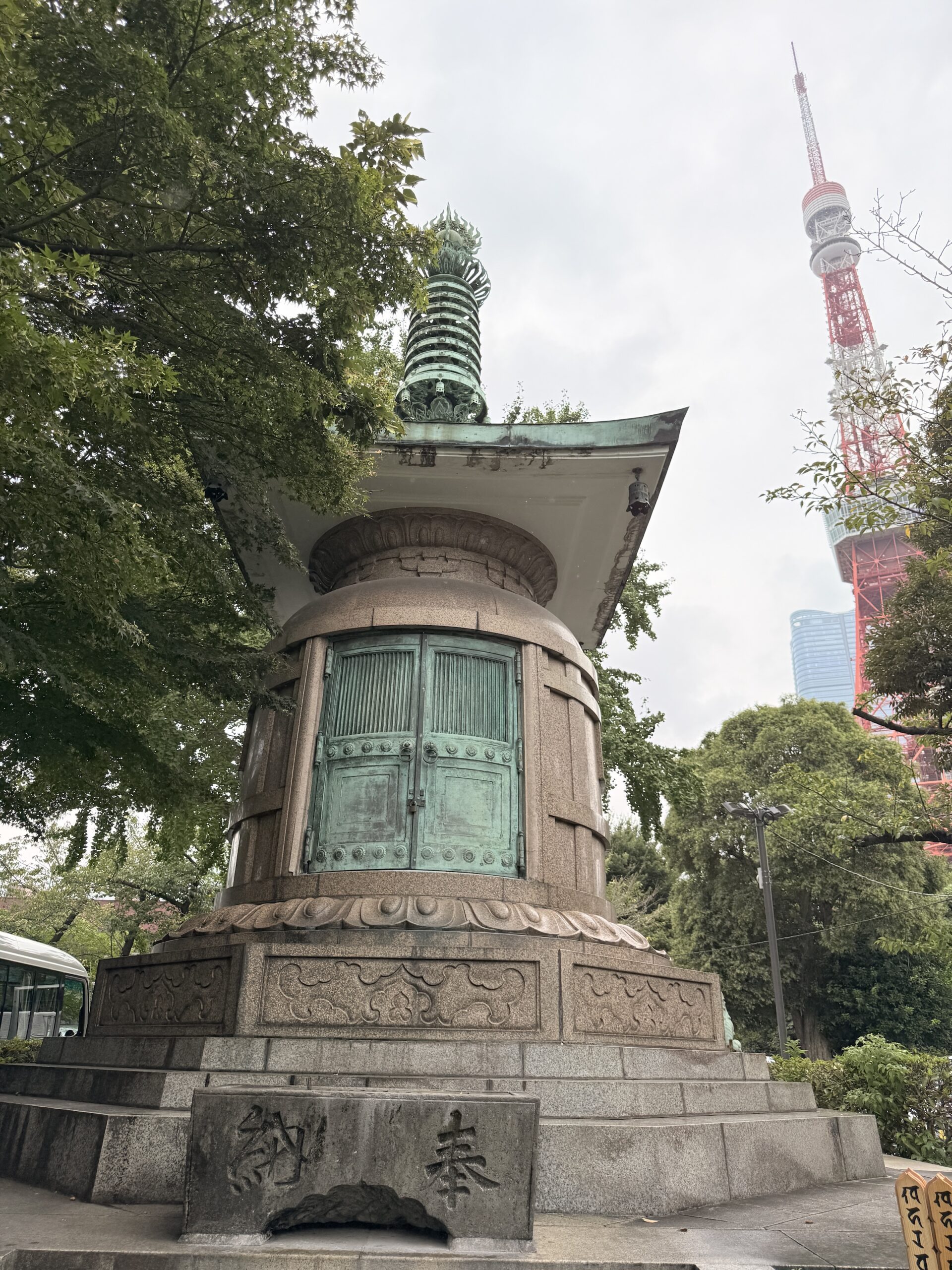
From Wikipedia: At its peak the temple grounds had more than 120 buildings, but following the decline of Buddhism during the Meiji period (1868-1912), most of them burned down during the bombing of Tokyo in World War II. Reconstruction began after the war, with the Daiden (great hall) being rebuilt in 1974.
*The shogun (short for Sei-i Taishōgun, 征夷大将軍) was the supreme military and political leader of Japan, ruling for nearly 700 years. The rule of the shoguns ended in 1868 with the Meiji Restoration, which was triggered by growing internal discontent and the disruptive arrival of Western powers.