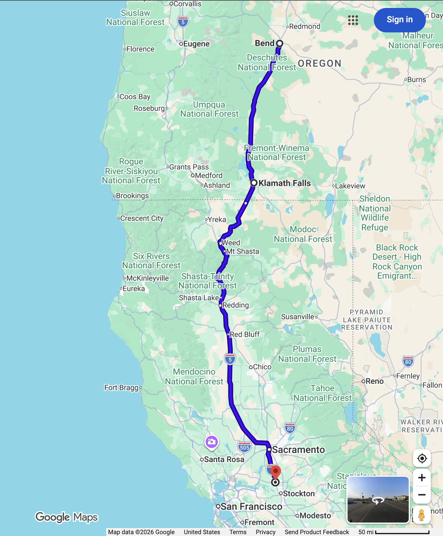
Here is our drive for today: about 475 mi and just under 8 hours.
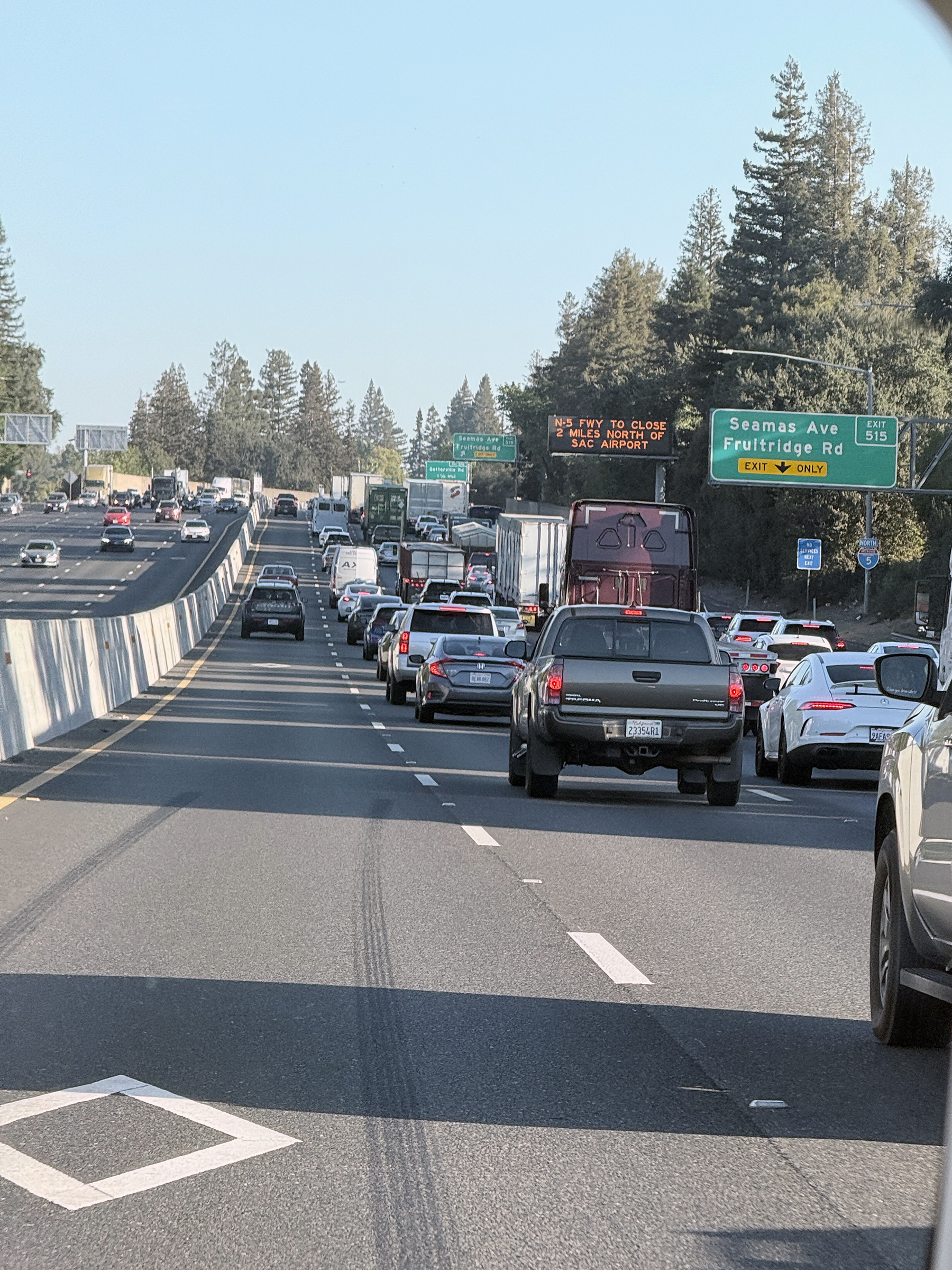
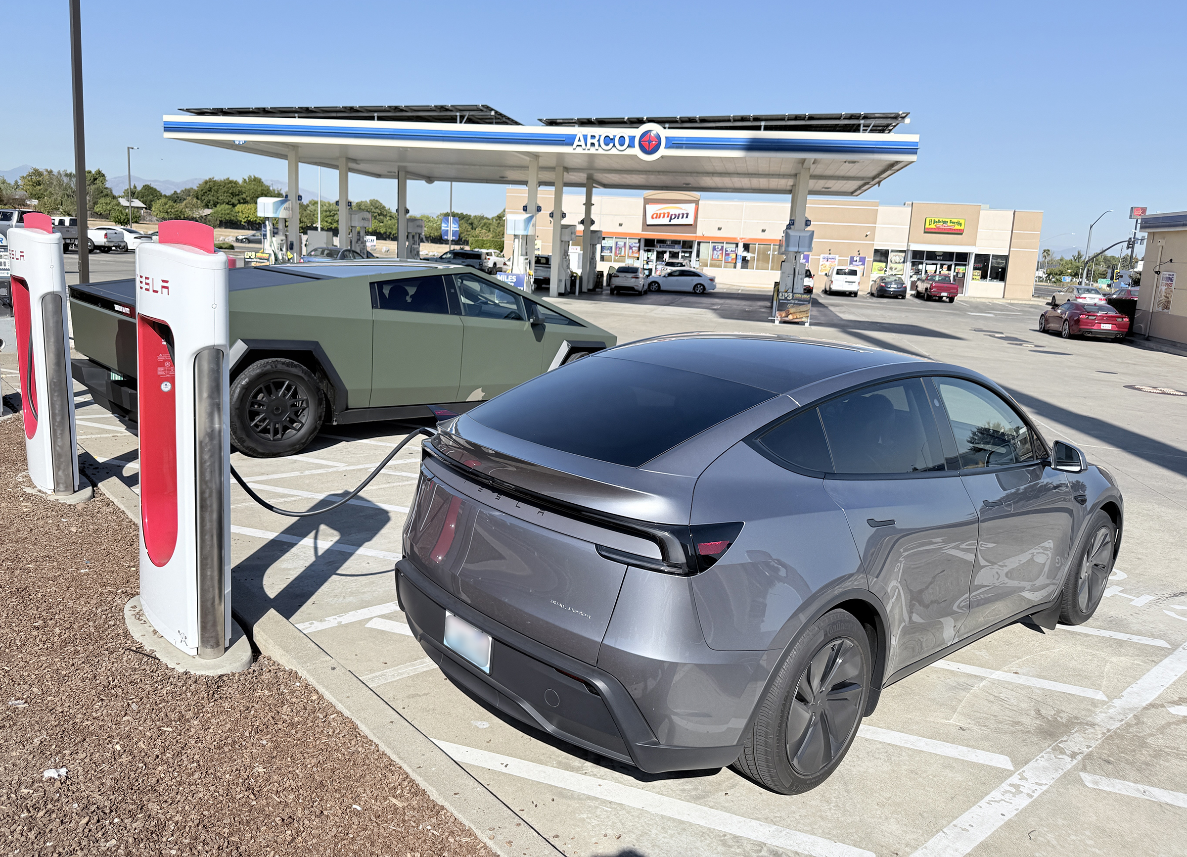
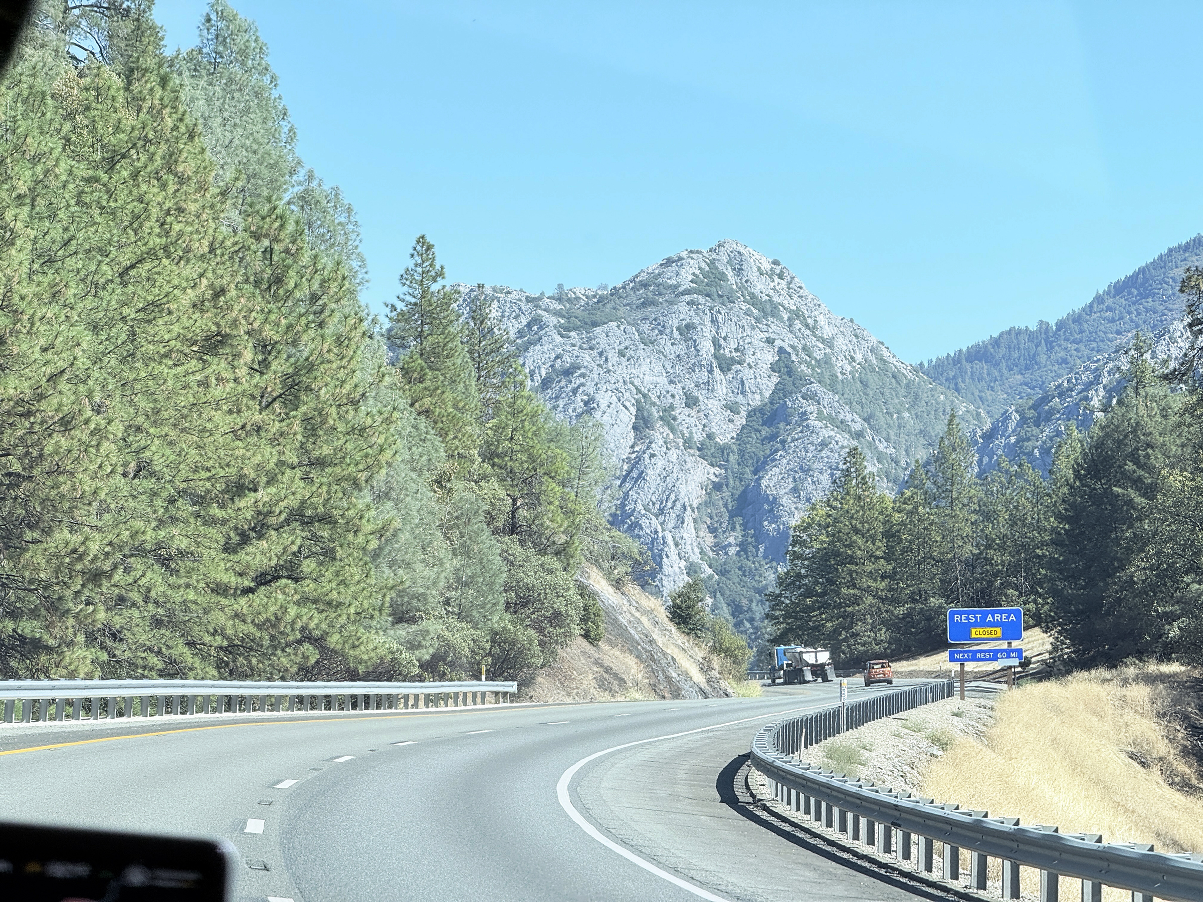
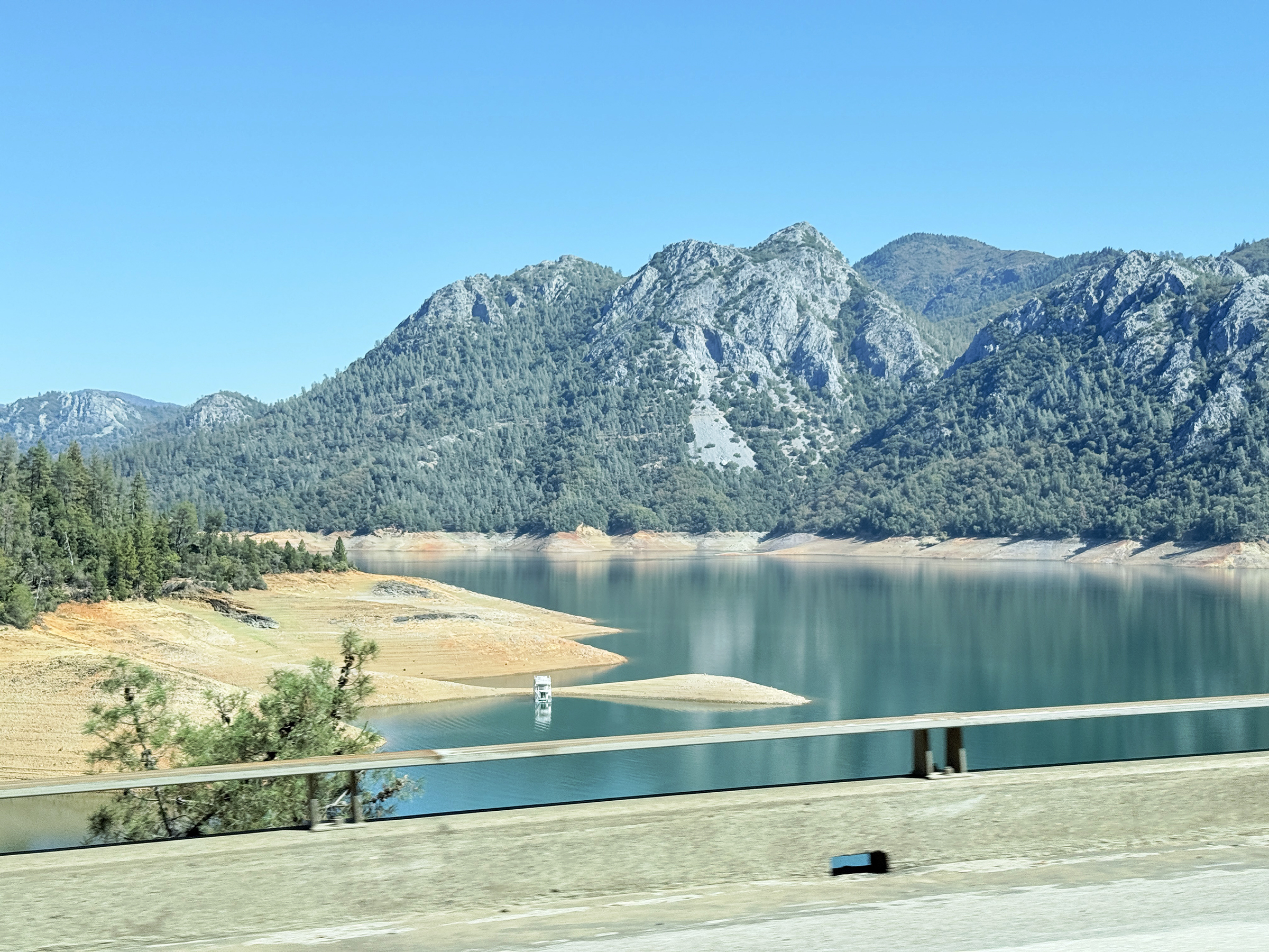
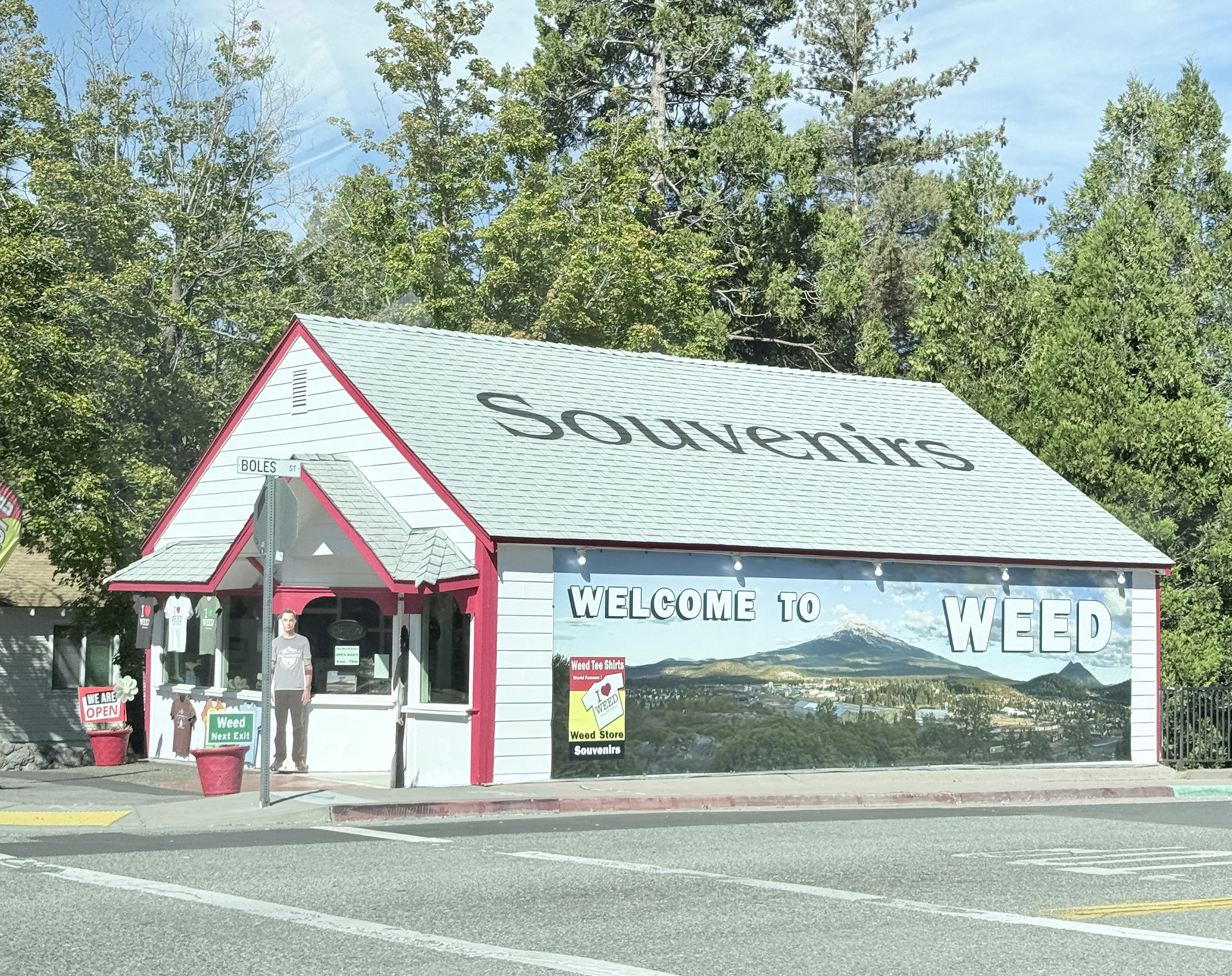
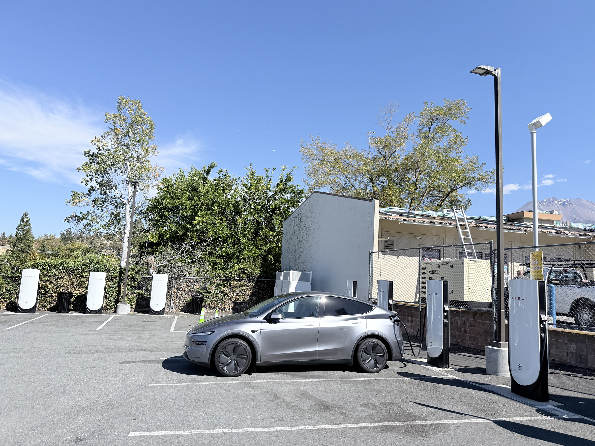
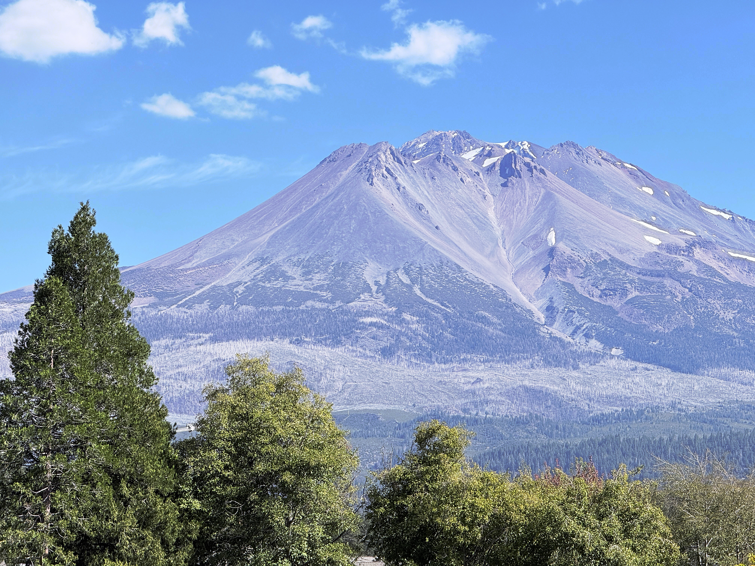
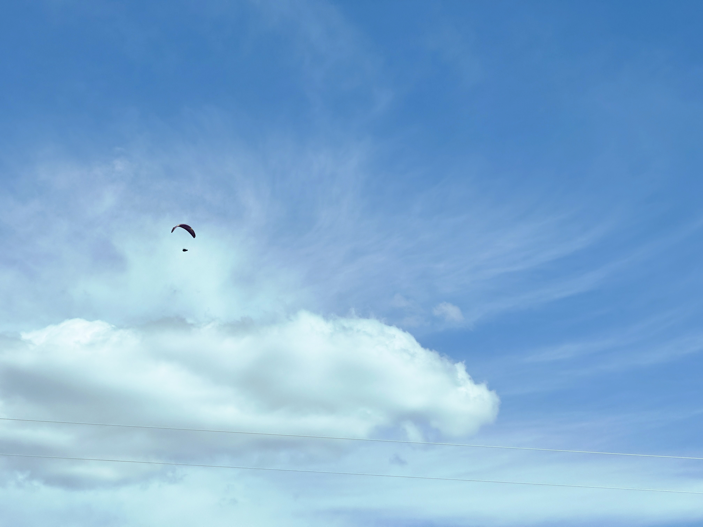
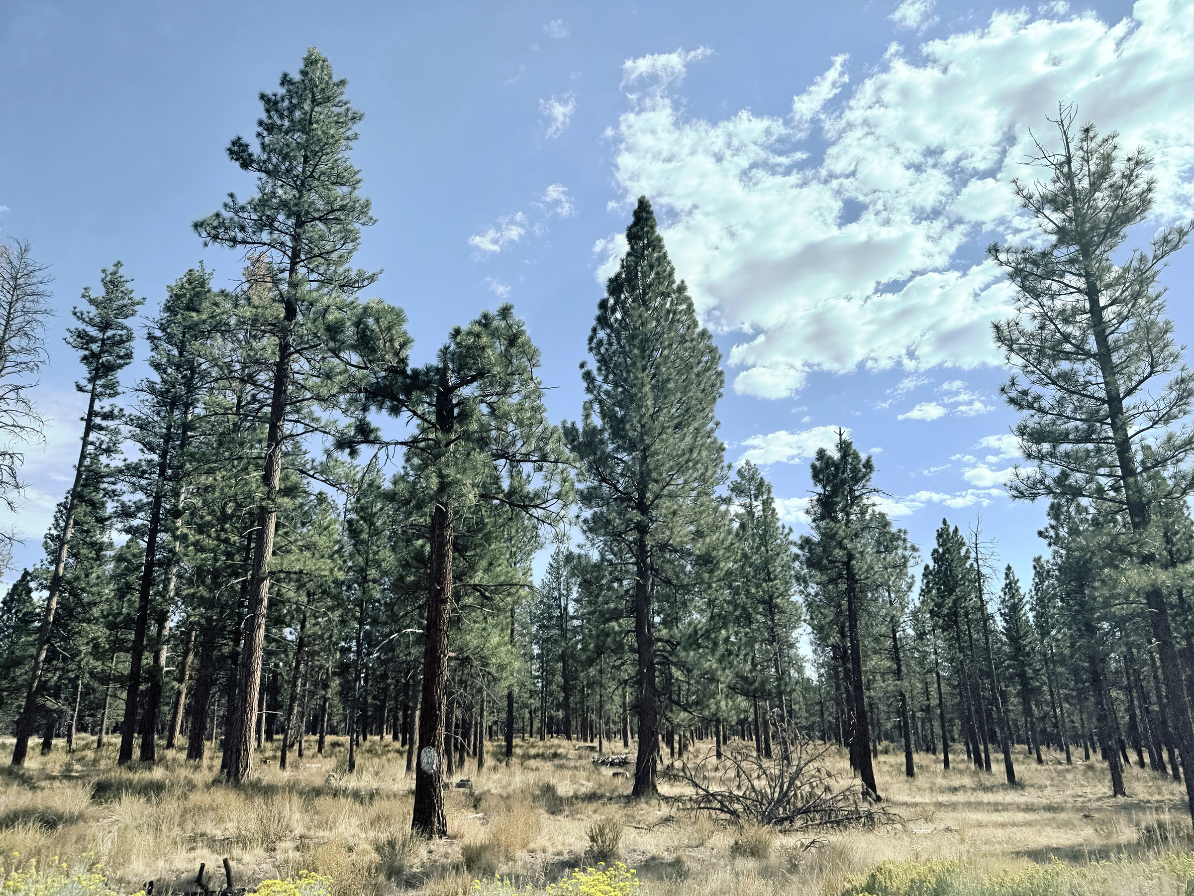
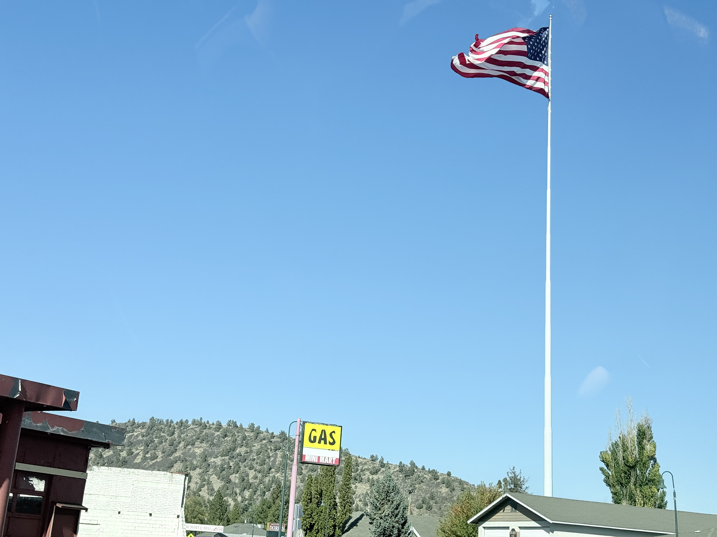
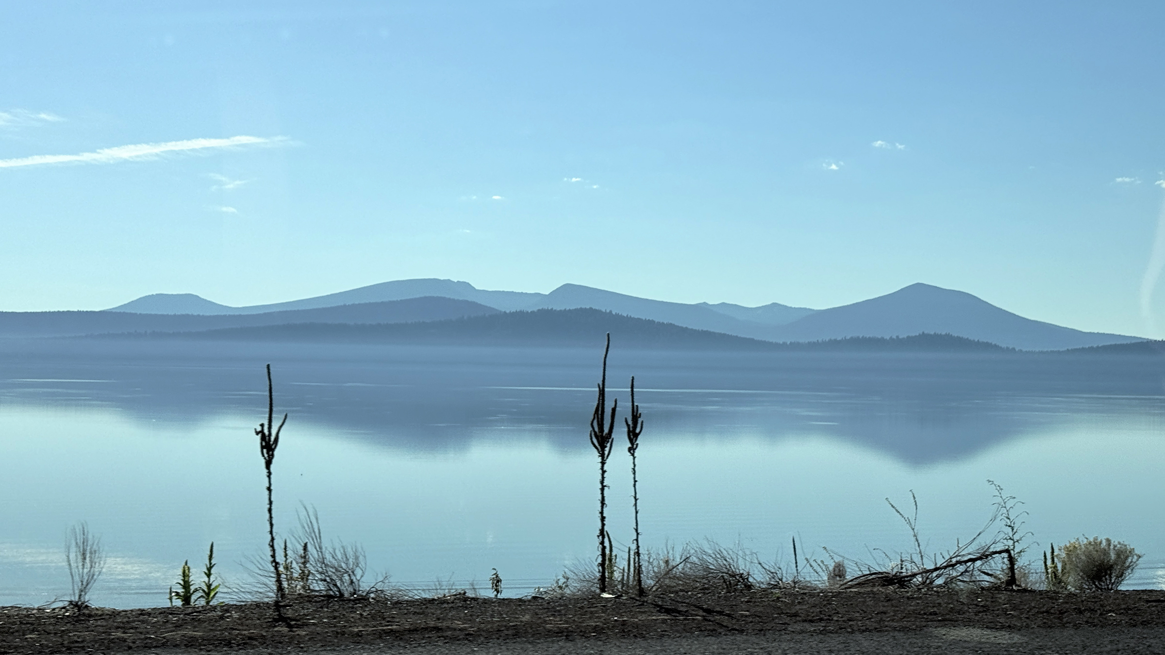
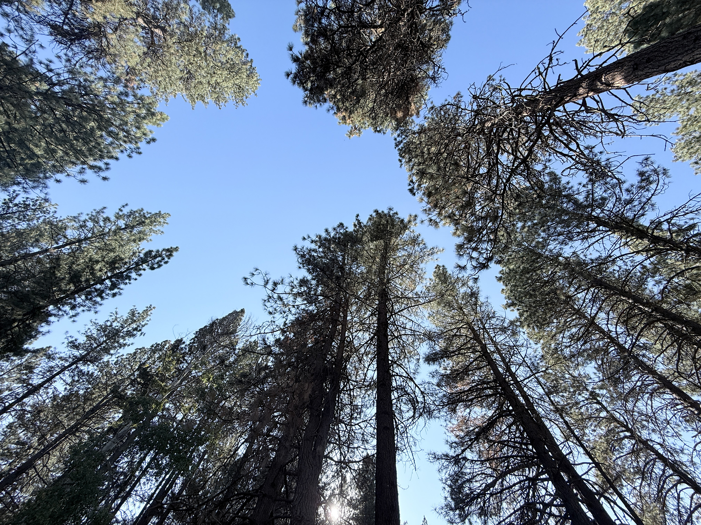
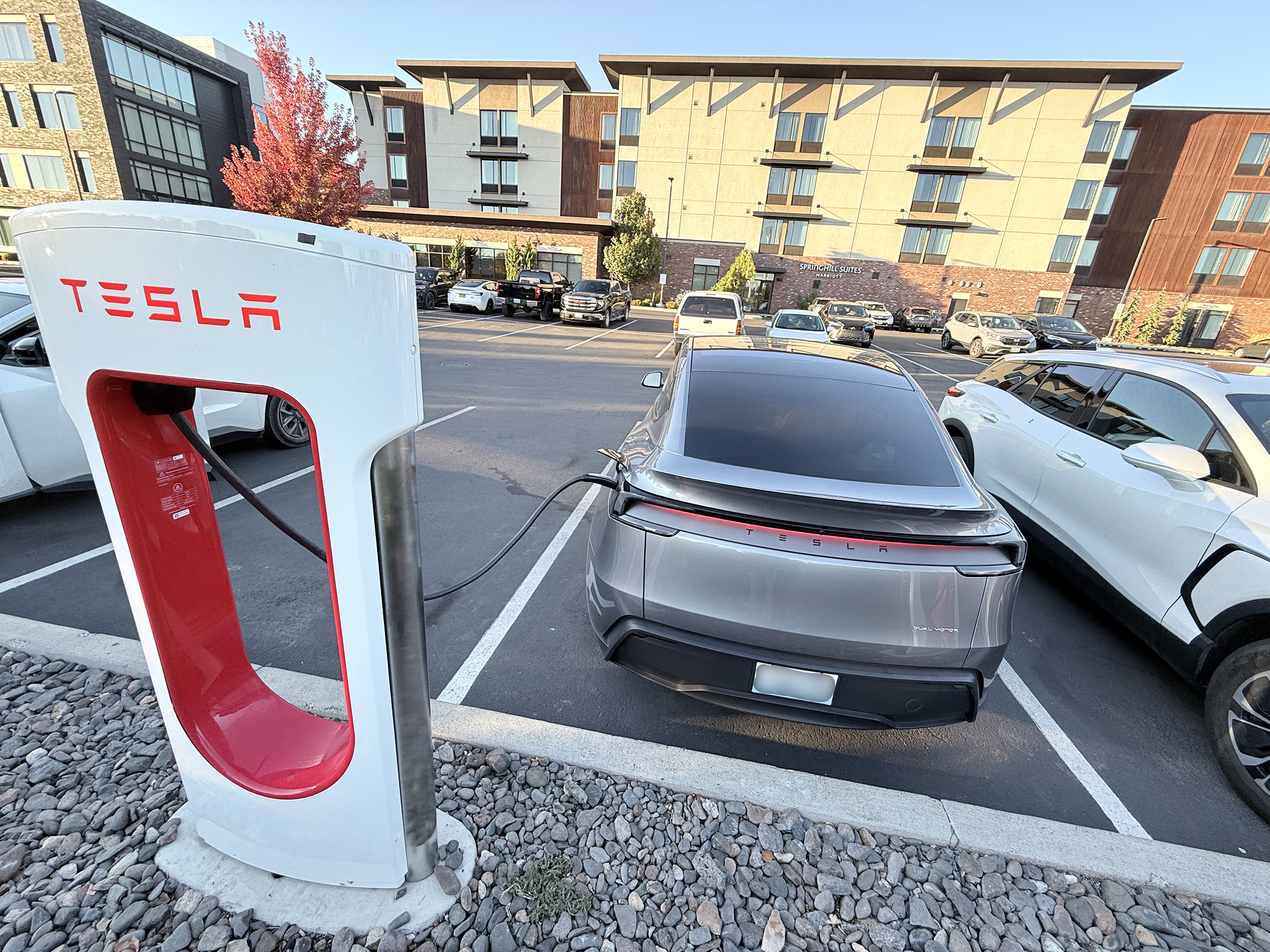
We took Interstate 5 through Sacramento and Redding, and then at the little town of Weed, went on to U.S. Route 97 to cross into Oregon, and go through Klamath Falls to Bend. Morning rush hour near Sacramento. It helped a lot to have an HOV lane that we could use.Our first charging stop for the day at Anderson, CA, was the same one we had used on the way down to Palm Springs. Check out the olive green Cybertruck.Interstate 5 winding through the mountains near Redding.One of the arms of the sprawling Shasta Lake north of Redding.The souvenir store in Weed, CA, does not actually sell weed (cannabis) products. It does have t-shirts, sweatshirts, key chains, shot glasses and all kinds of other souvenirs.Weed is also where we made our second charging stop.Beautiful Mt Shasta, with very little snow this time of year. Mt Shasta peaks out at only 200 ft lower than Washington State’s Mt Rainier. Mount Shasta is easier and simpler to climb than Mount Rainier, serving as a non-technical steep snow-mountaineering peak, whereas Mount Rainier is a massive, heavily glaciated objective requiring rope-team and crevasse-rescue skills. [Source: Global Summit Guide]Paraglider near Mt Shasta.Trees in the Shasta-Trinity National Forest.Now approaching the California-Oregon border, and this is the little town of Dorris on U.S. Route 97.A vista of the tranquil waters of Upper Klamath Lake, as seen from U.S. Route 97 that runs alongside it.Trees at a last rest stop in southern Oregon, at about 4 pm.We have arrived in Bend, OR. Giving the car one more charge before we head to the hotel.