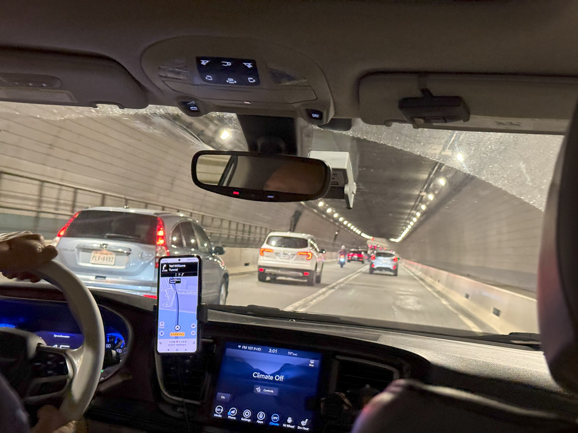
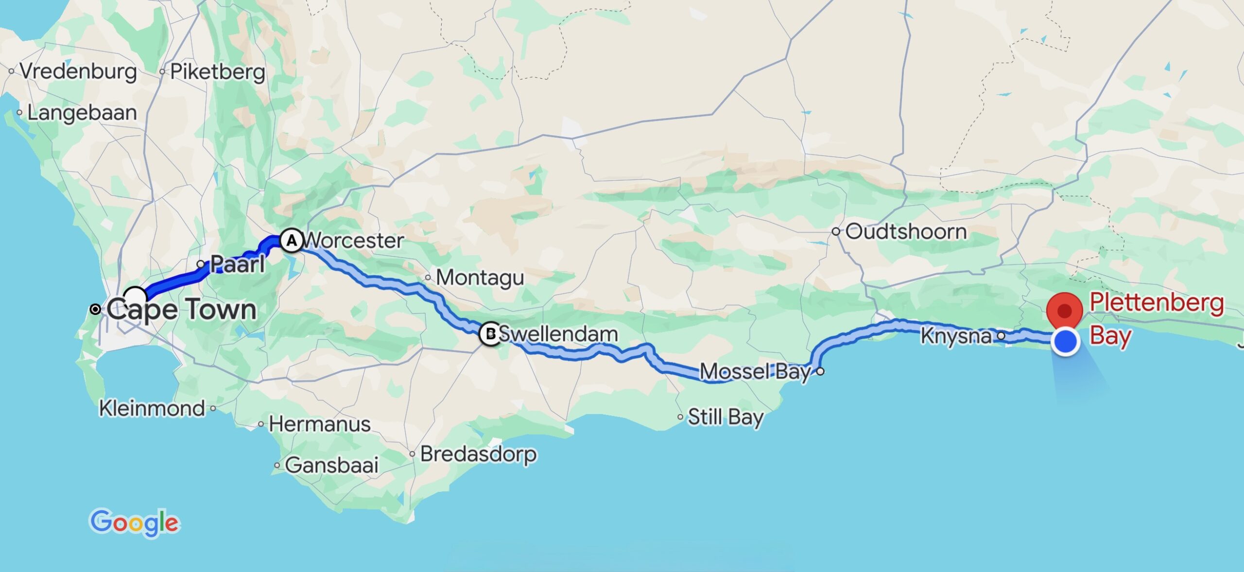
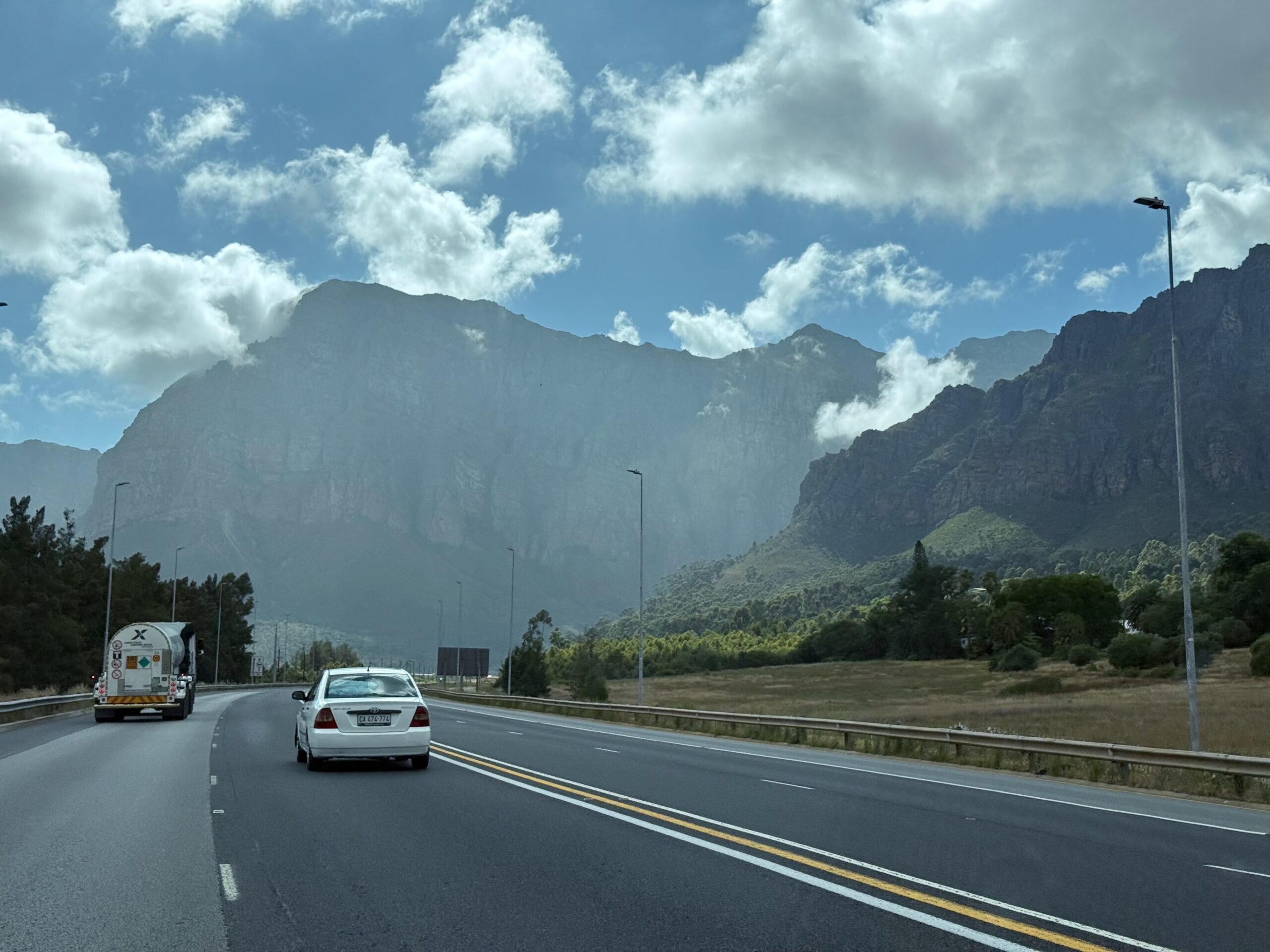
It’s a 6-hour drive to Plettenberg Bay. We opted for the N1 national route through the Huguenot Tunnel to Swellendam, from where we took the N2 to Plettenberg Bay.
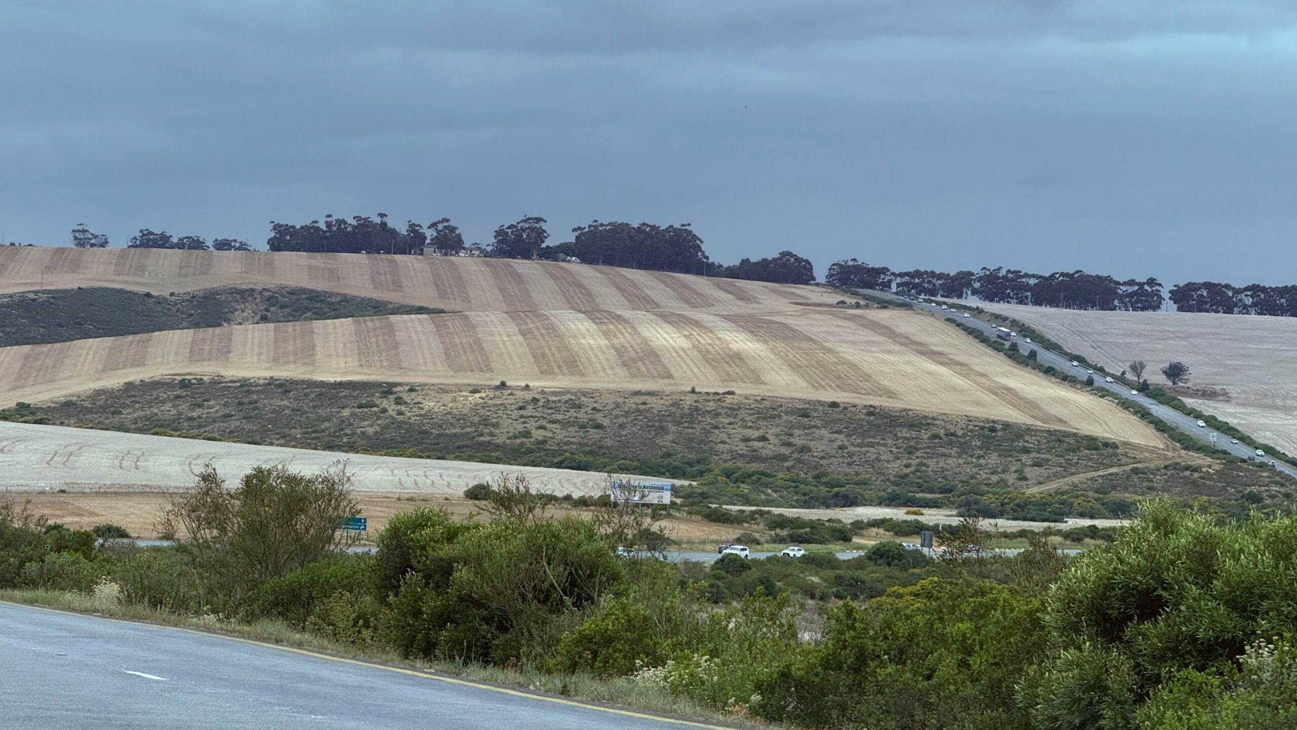
I could only take pictures of the first half of the drive, while I was the passenger and not the driver. 🤗
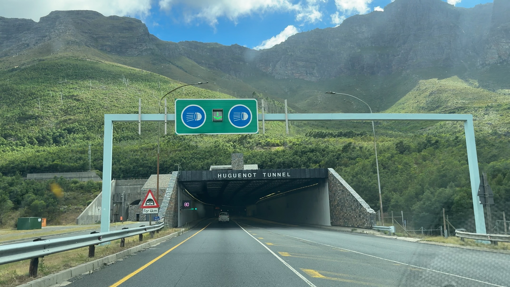
It is a toll road tunnel that runs through the Du Toitskloof Mountains, connecting Cape Town to the northern regions of the country.
The tunnel is 3.9 km (2.4 mi) long and it opened in March 1988.
The tunnel offers a route that is safer, faster (between 15 and 26 mins) and shorter (by 11 km/ 6.8 mi) than the old Du Toitskloof Pass over the mountain.


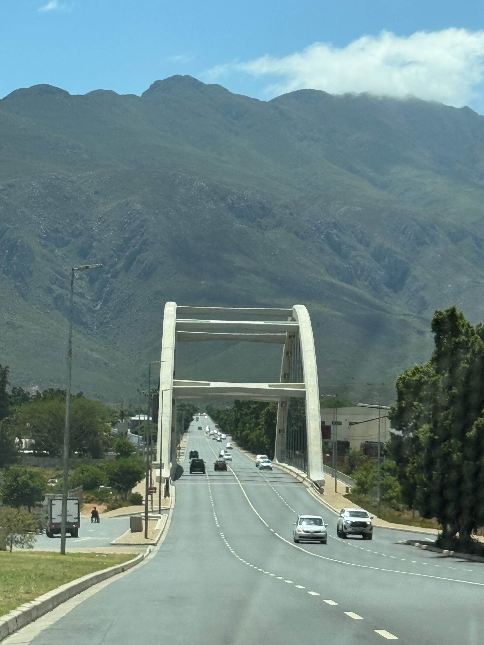
This arch bridge is new (it opened in August 2021) and lies over the Cogmans Gorge River (Afr. Kogmanskloofrivier) in Ashton.

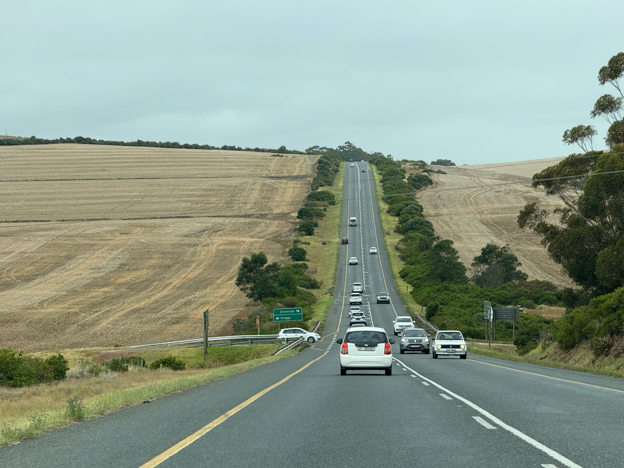
We did not run into too much traffic going east, but we ran into lines of cars going in the opposite direction, heading back to Cape Town. The kids in school still have a week or two of summer recess, but maybe mom or dad will have to go back to work on Monday.
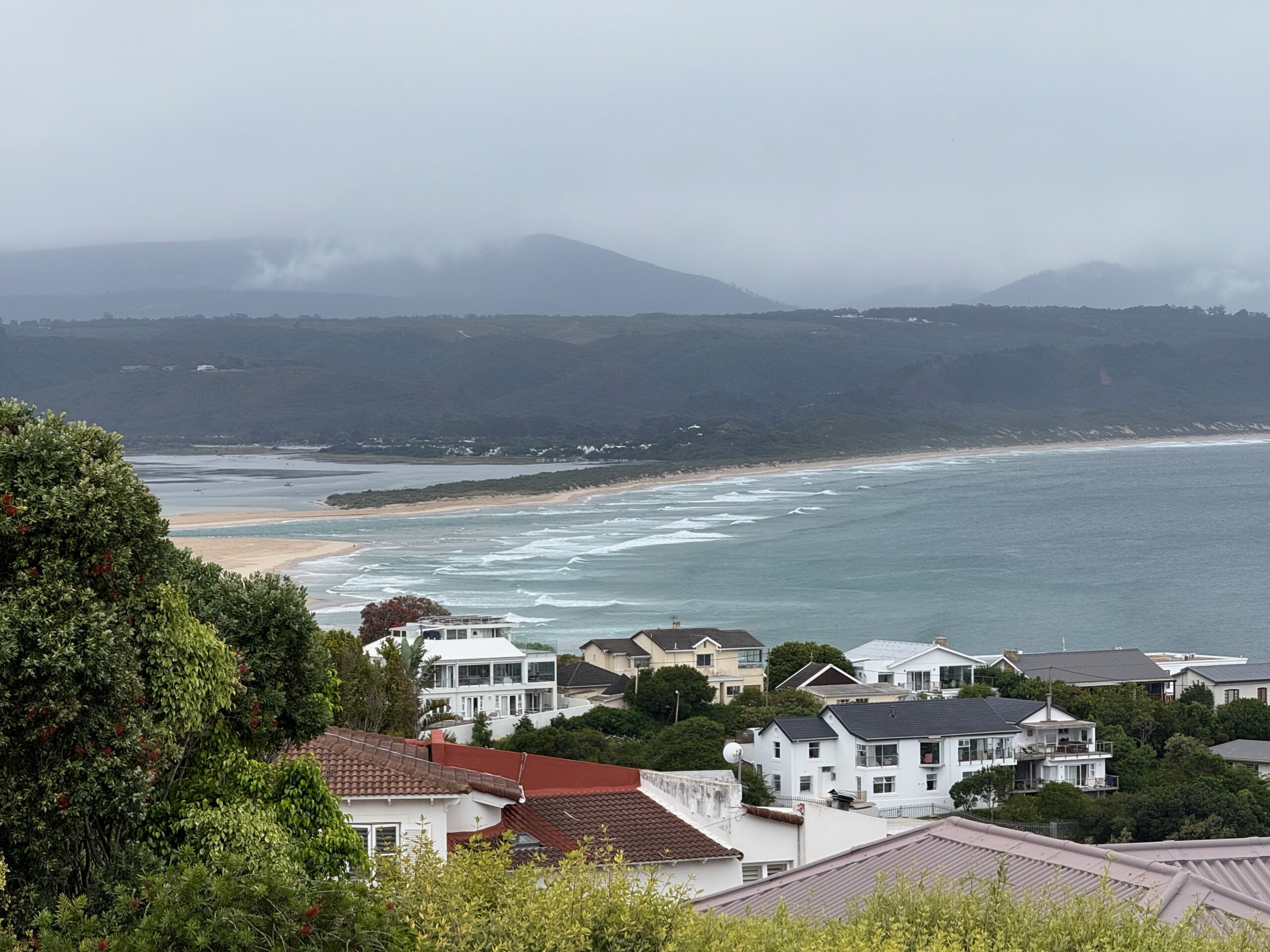
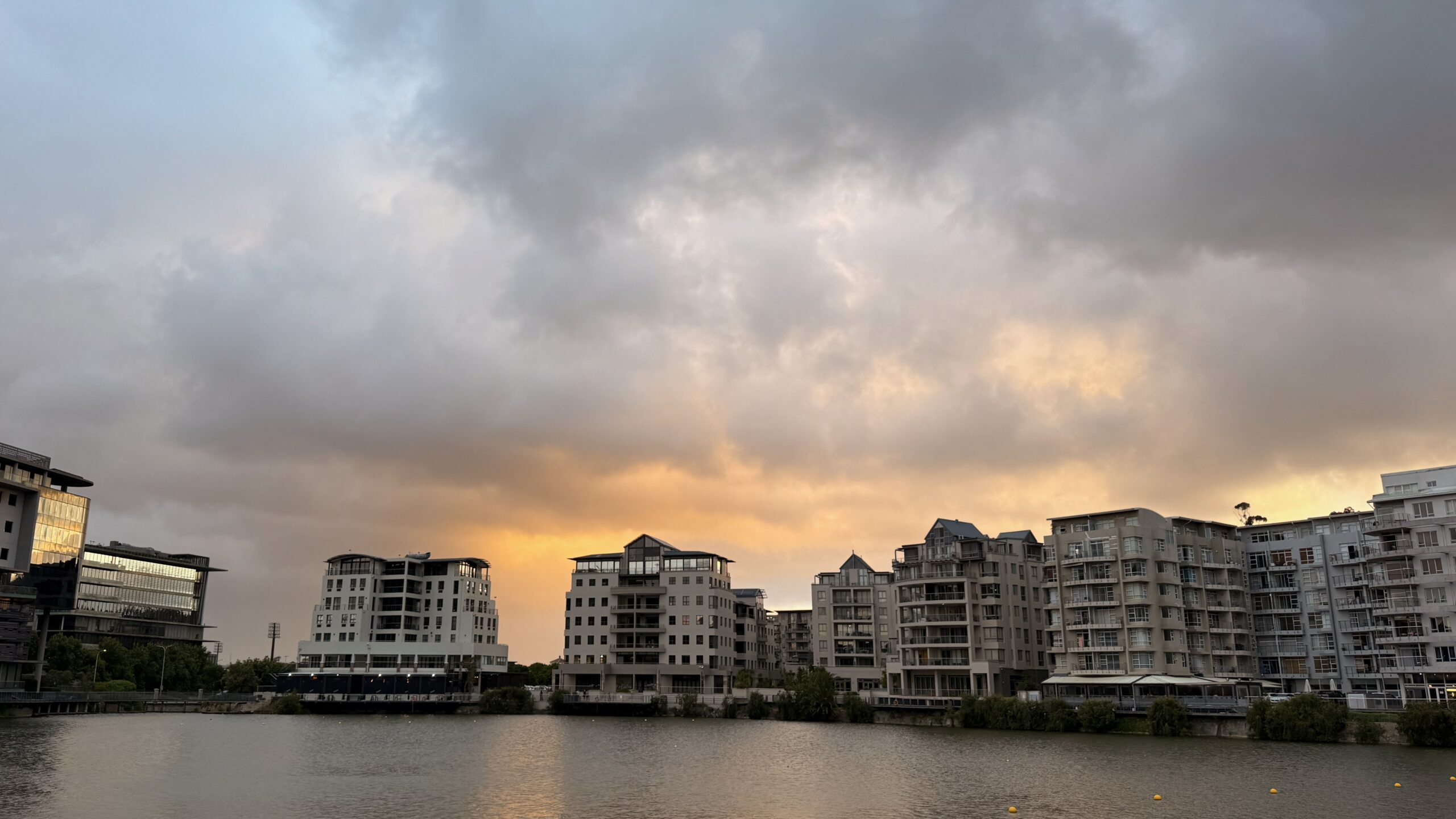
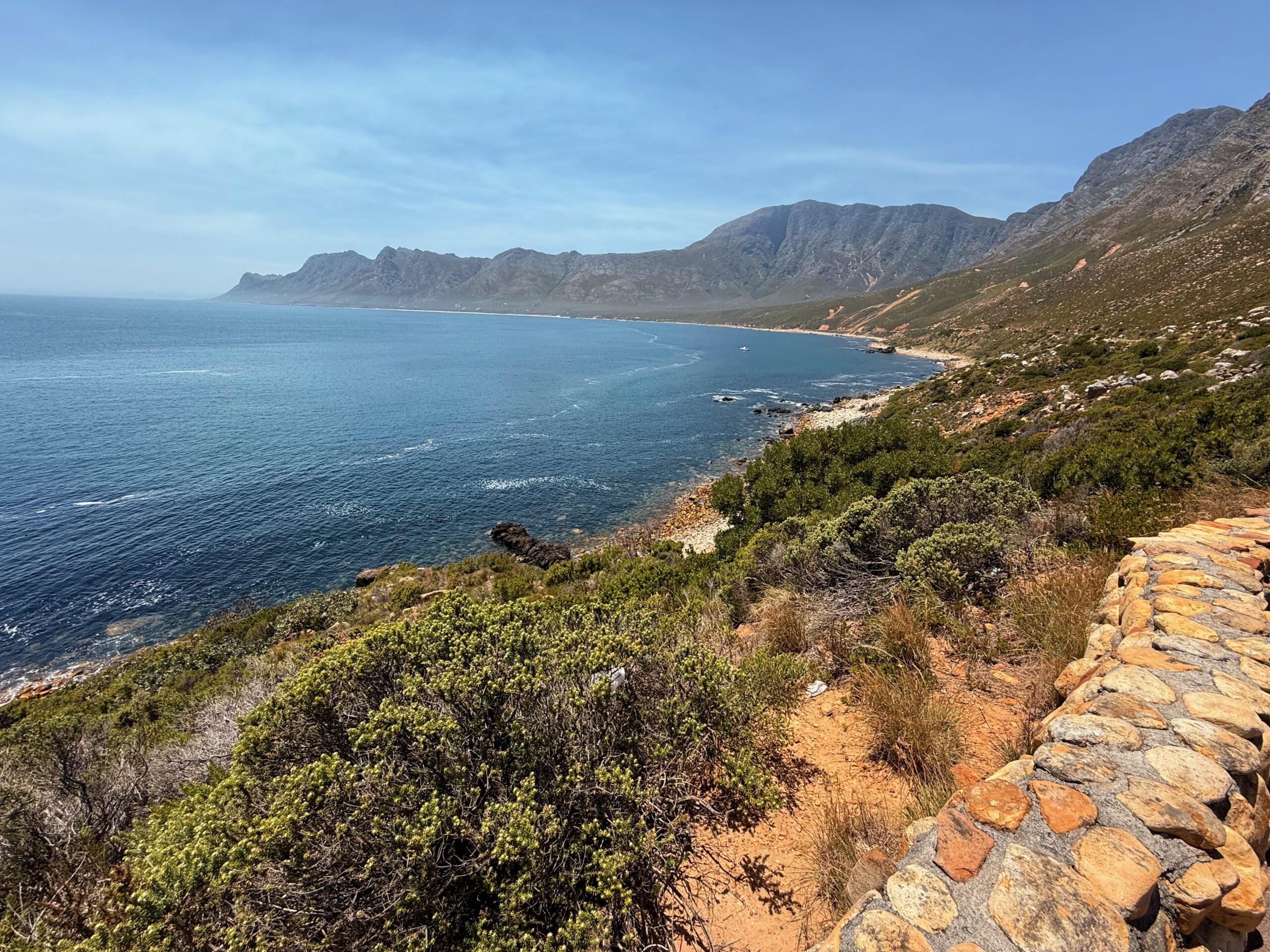
This is the view from our Airbnb, of the Keurbooms Estuary and the beaches around Plettenberg Bay.