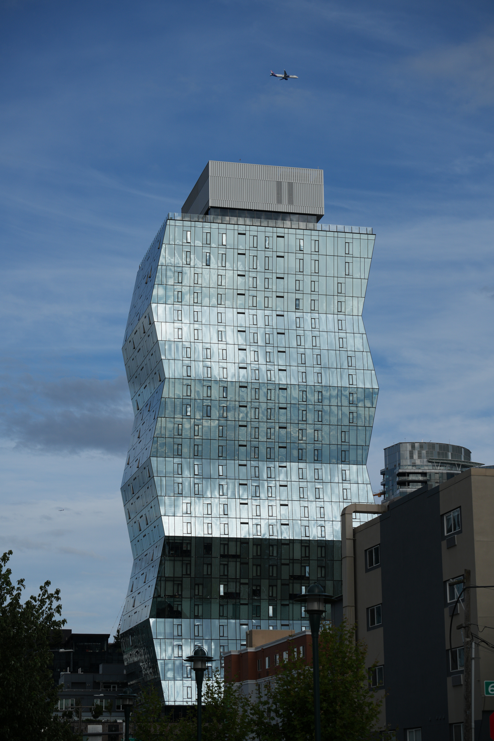
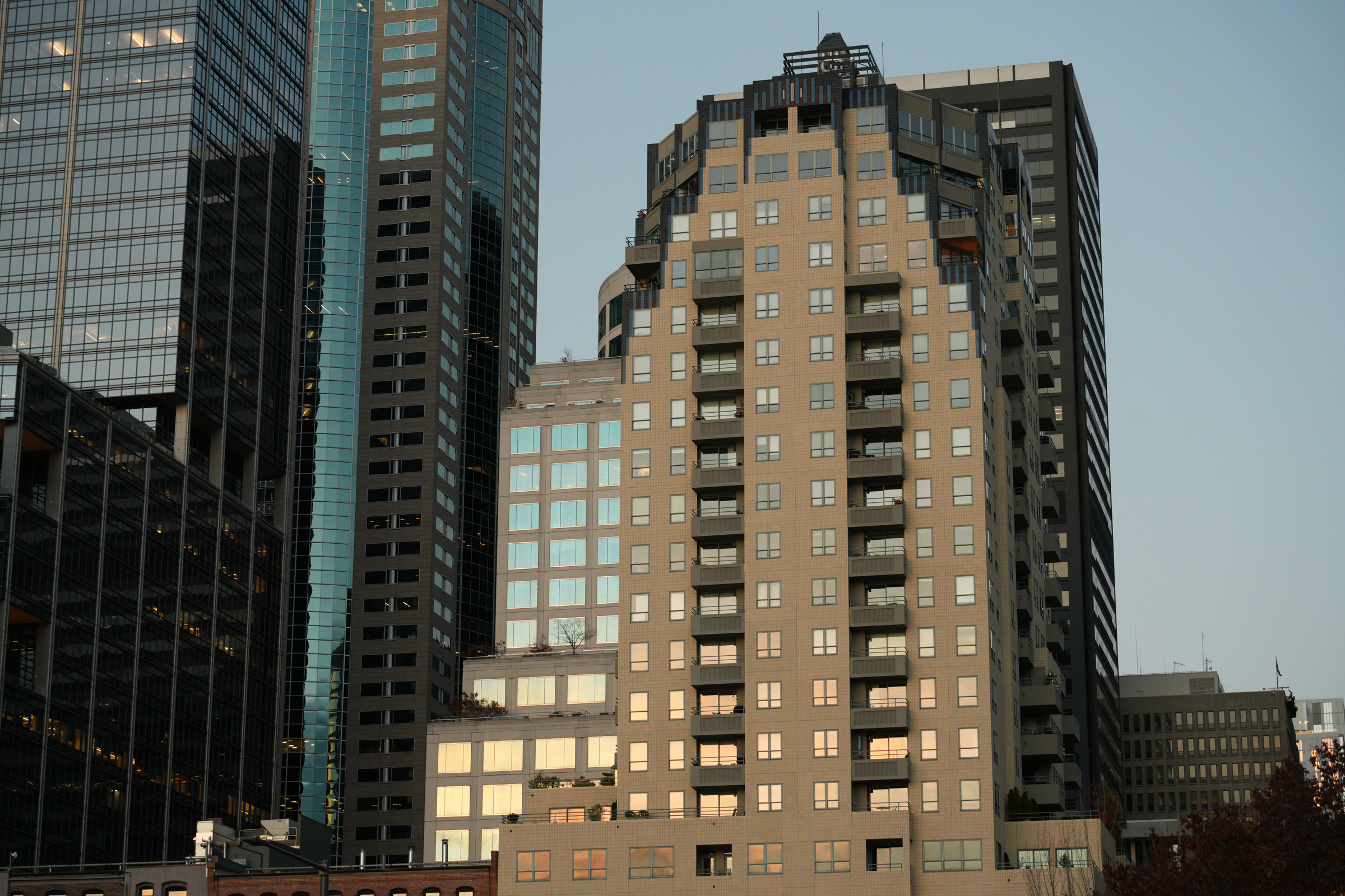
Here’s another picture from last night, taken from the Melrose Avenue overlook.
It’s a study of the cubes and rectangles that make up the Nexus Seattle condominium tower (on the left) and the Kinects Tower apartment complex to its right.
a weblog of whereabouts & interests, since 2010
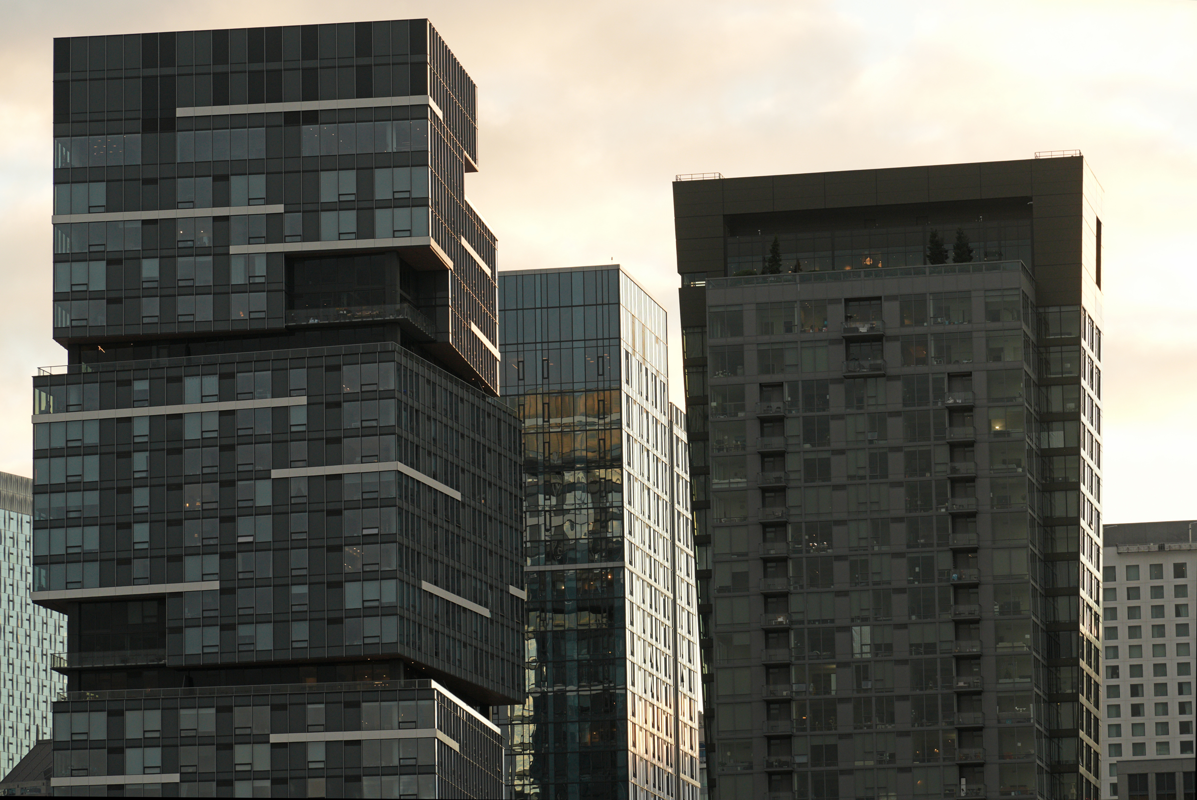
Here’s another picture from last night, taken from the Melrose Avenue overlook.
It’s a study of the cubes and rectangles that make up the Nexus Seattle condominium tower (on the left) and the Kinects Tower apartment complex to its right.
Reporter Eliza Shapiro writes for the New York Times:
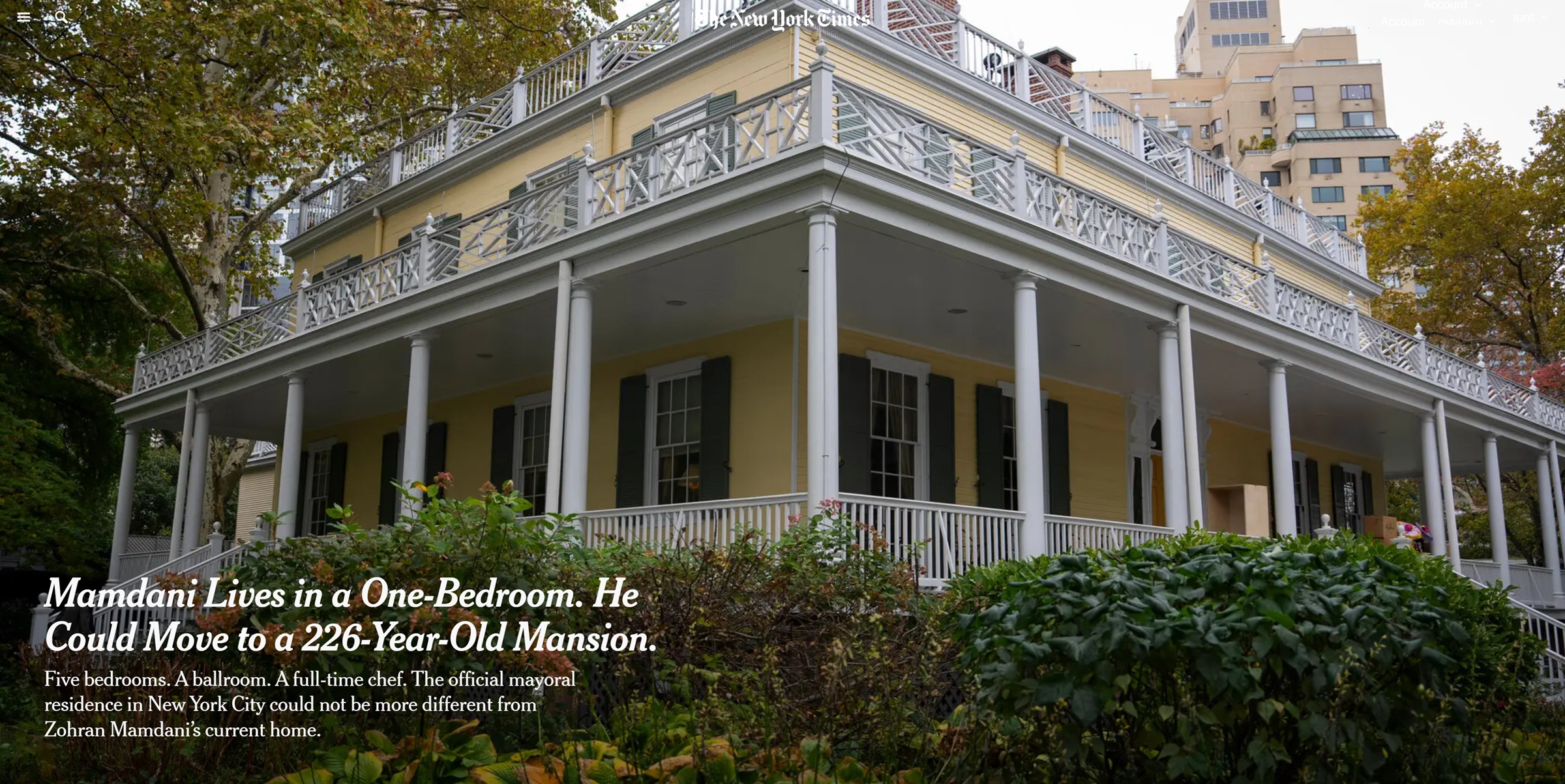
Zohran Mamdani, the mayor-elect of New York City, recently spent a weekday morning blanketing the floor of his $2,300-a-month apartment with towels. The sink was leaking, and the super had been summoned.
That wasn’t the only frustration.
“My wife and I have just talked about the fact that a one-bedroom is a little too small for us now,” he said recently on “The New Yorker Radio Hour,” after detailing the plumbing troubles.
Assuming Mr. Mamdani decides to move into Gracie Mansion, New York City’s official mayoral residence, he is unlikely to be dealing personally with such workaday problems much longer. Nor will his new digs feel quite so snug.
It is hard to overstate the difference between Mr. Mamdani’s current home, a modest rent-stabilized apartment in Astoria, Queens, and Gracie Mansion, a 226-year-old, 11,000-square-foot home on the Upper East Side, with gleaming mirrors reflecting the light of chandeliers, faux mahogany doors, a vast lawn with apple and fig trees and a vegetable garden occasionally plagued by rabbits.
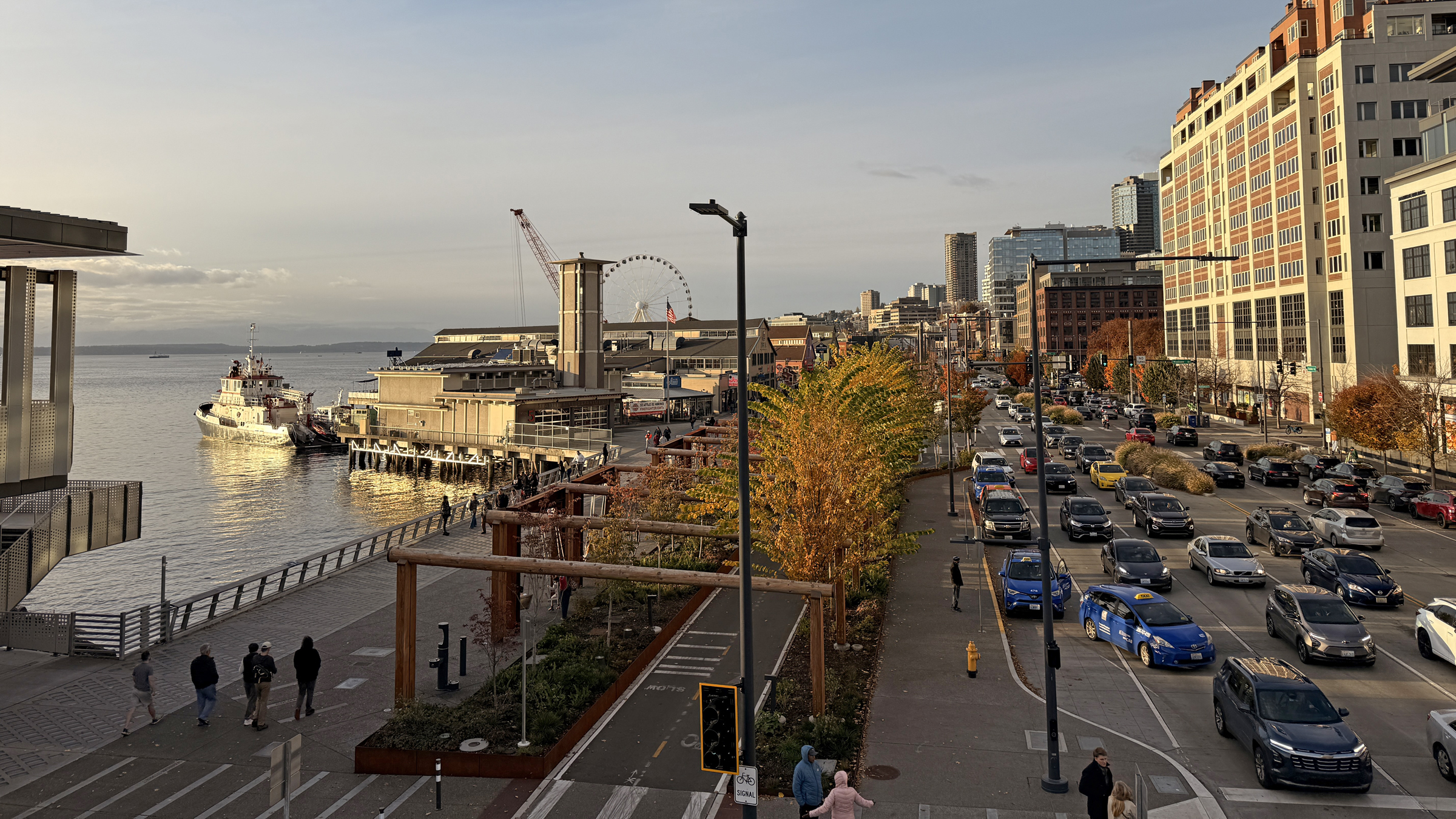
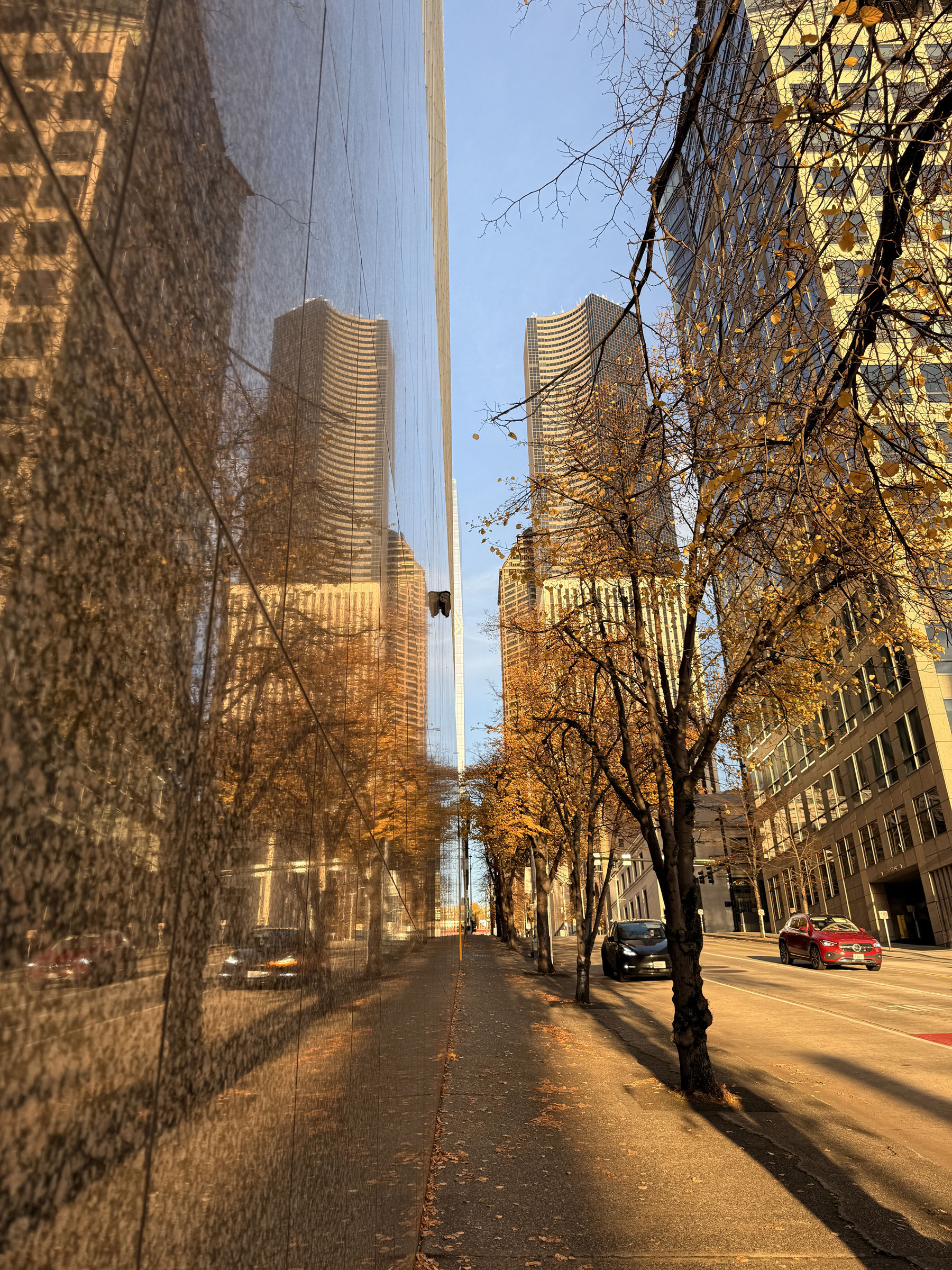
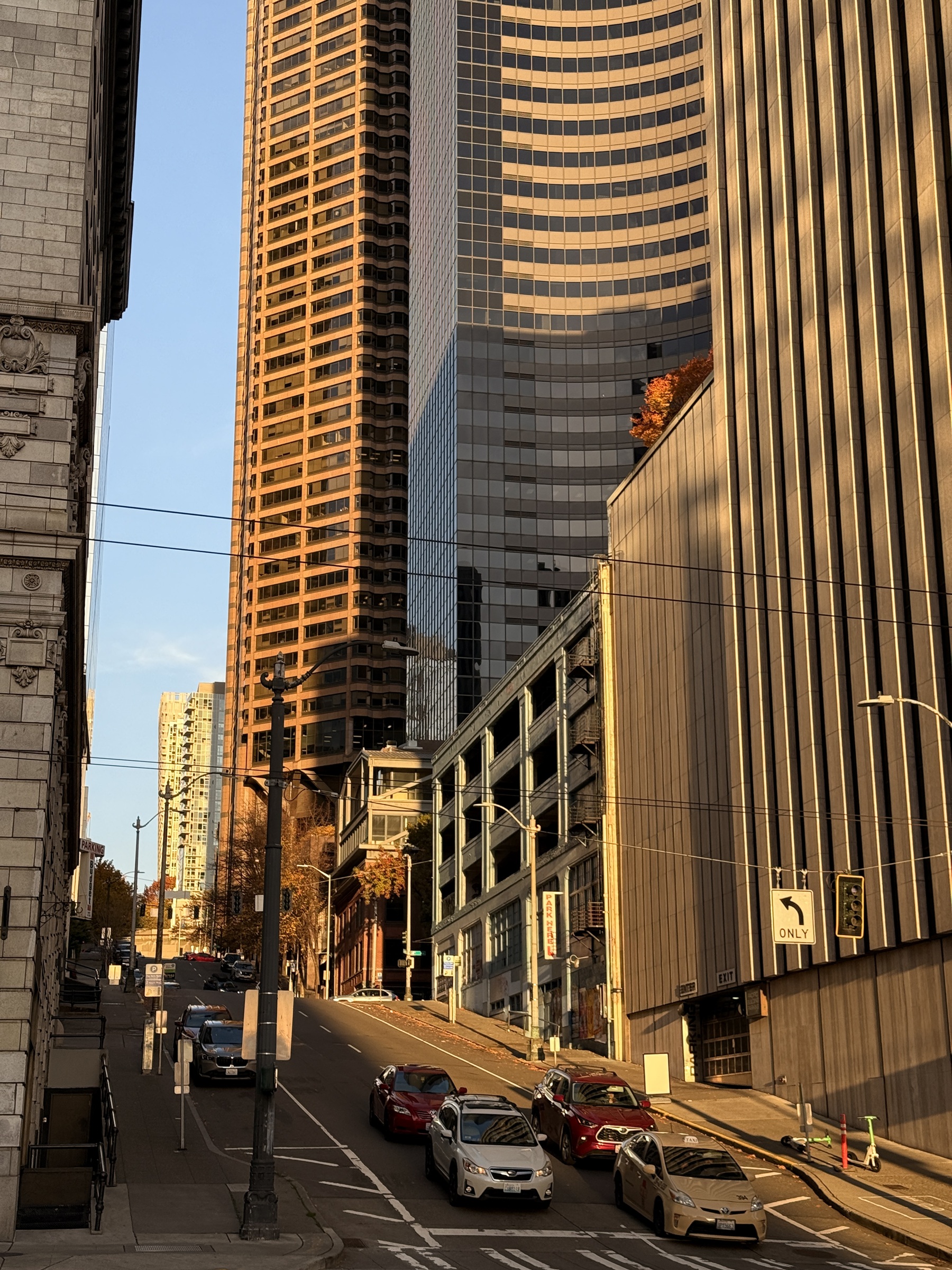
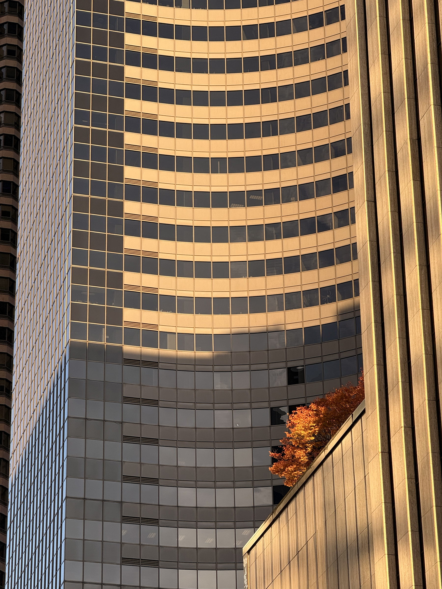
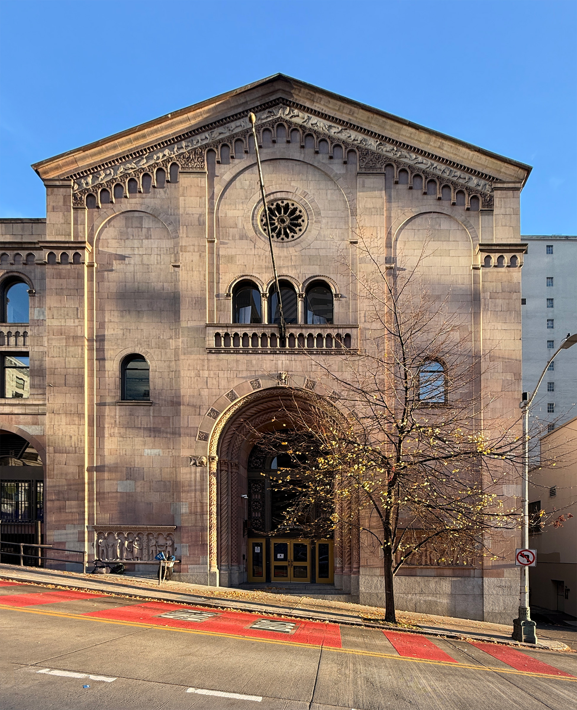
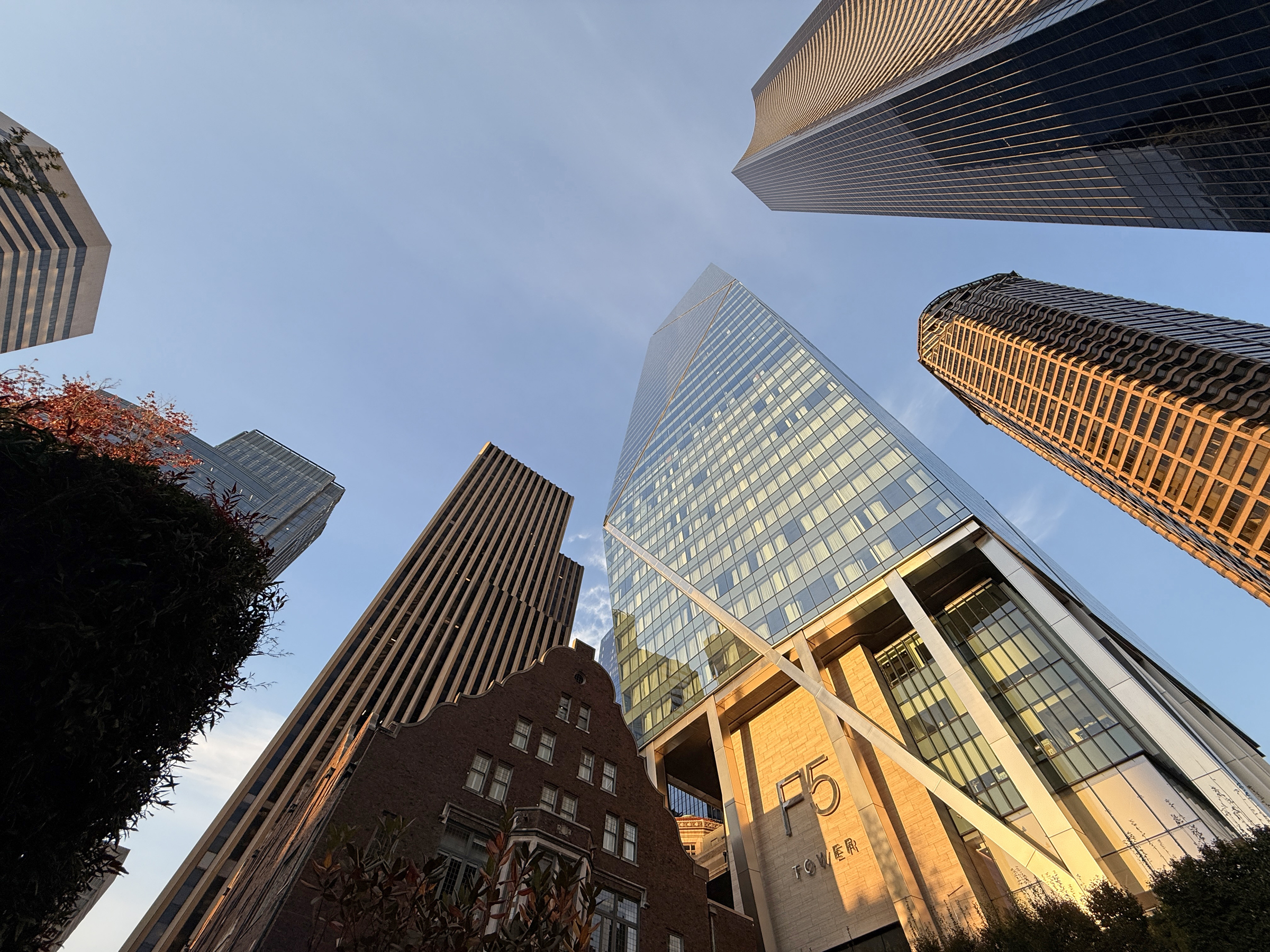
I took the G Line bus to the waterfront, and walked back up along Columbia Street in downtown Seattle to take a few pictures.
The tallest building in Seattle is on Columbia Street: the 76-story Columbia Center, which rises 937 feet (286 m) and was completed in 1985.
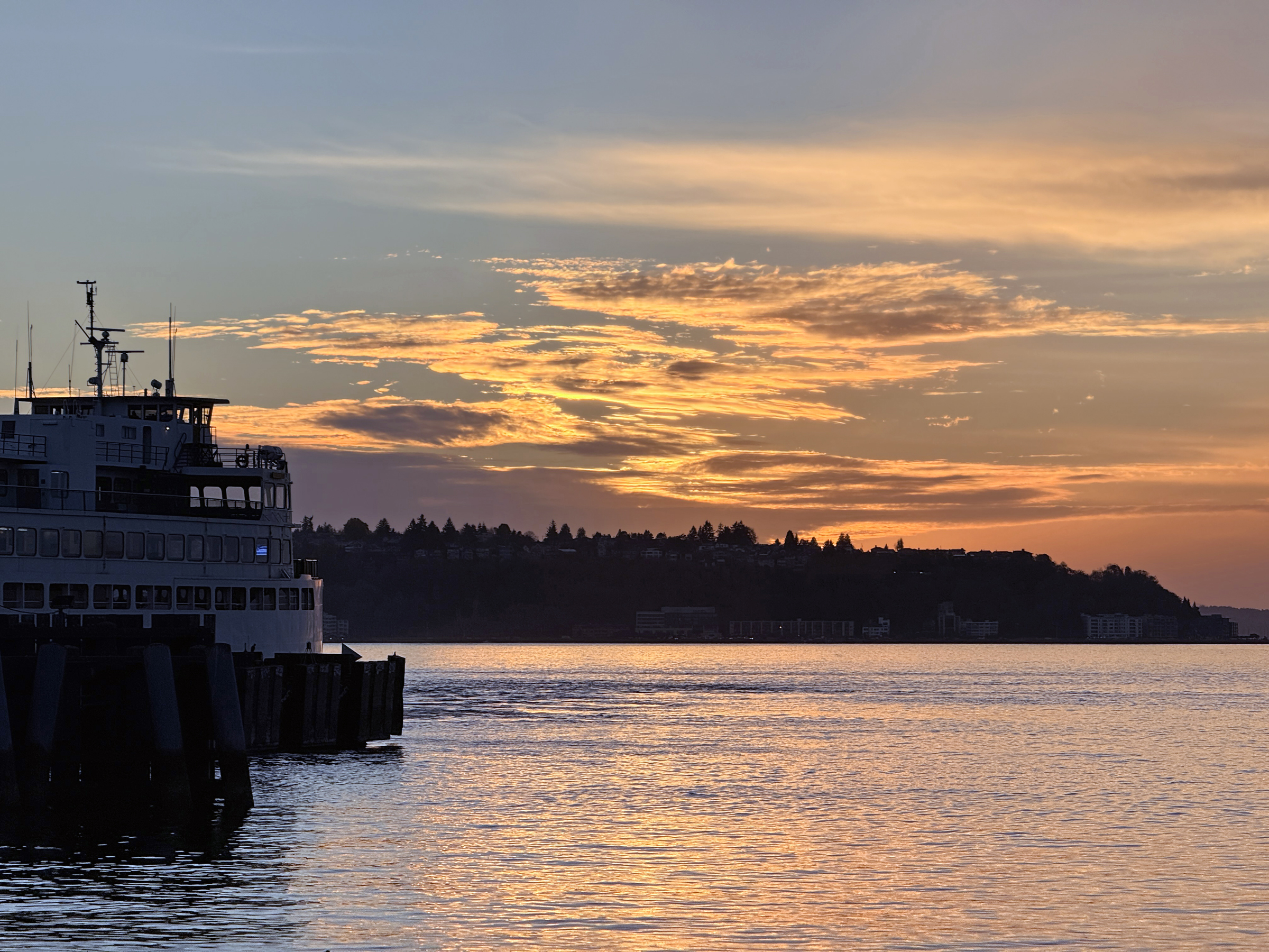
I went back to the waterfront to watch the sun set.
Sunset is now at 4.49 pm.
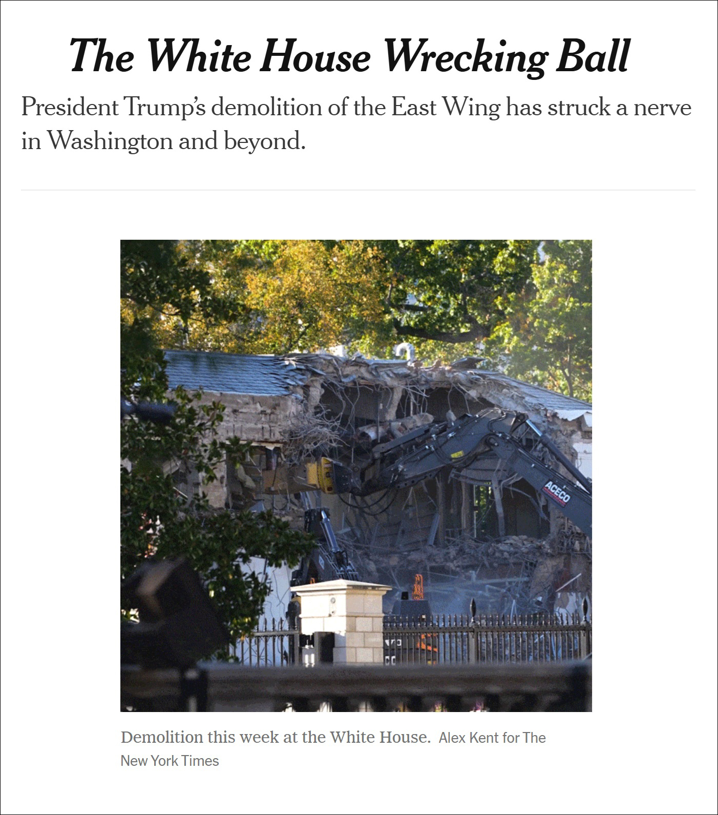
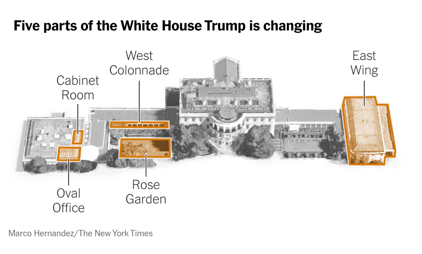
Jess Bidgood writes for the New York Times, referring to the destruction of the East Wing of the White House:
It wasn’t so long ago that Trump was promising his plan to build a 90,000-square-foot ballroom on the grounds “won’t interfere with the current building.” In fact, my colleague Luke Broadwater reported today that the entire wing, which is historically the domain of the first lady, will be razed in the project.
Images of the demolition, which began on Monday as a precursor to the construction of a $200 million ballroom, have rocketed around the globe, swiftly becoming political fodder and a perfect Rorschach test for a deeply polarizing presidency.
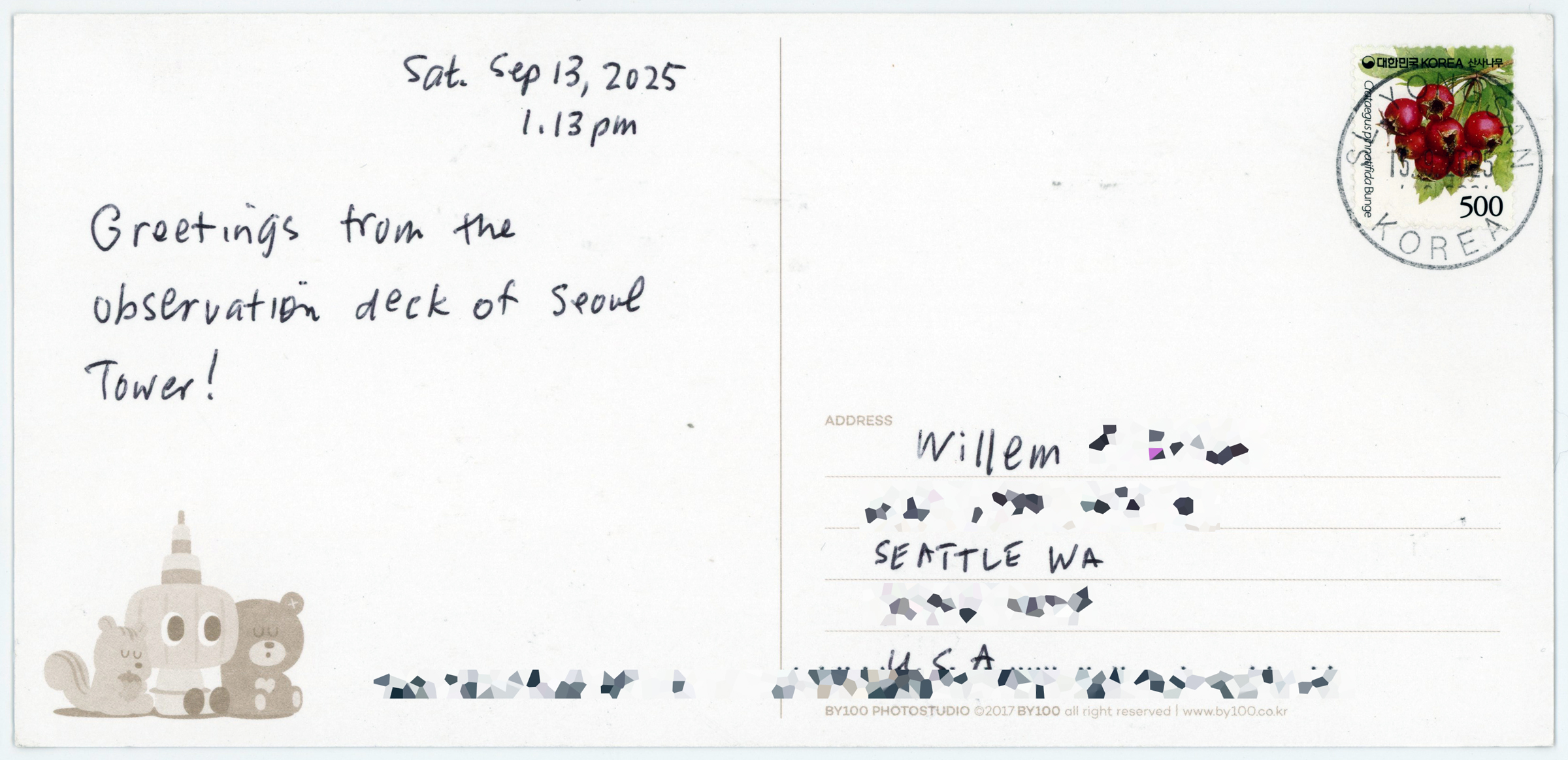
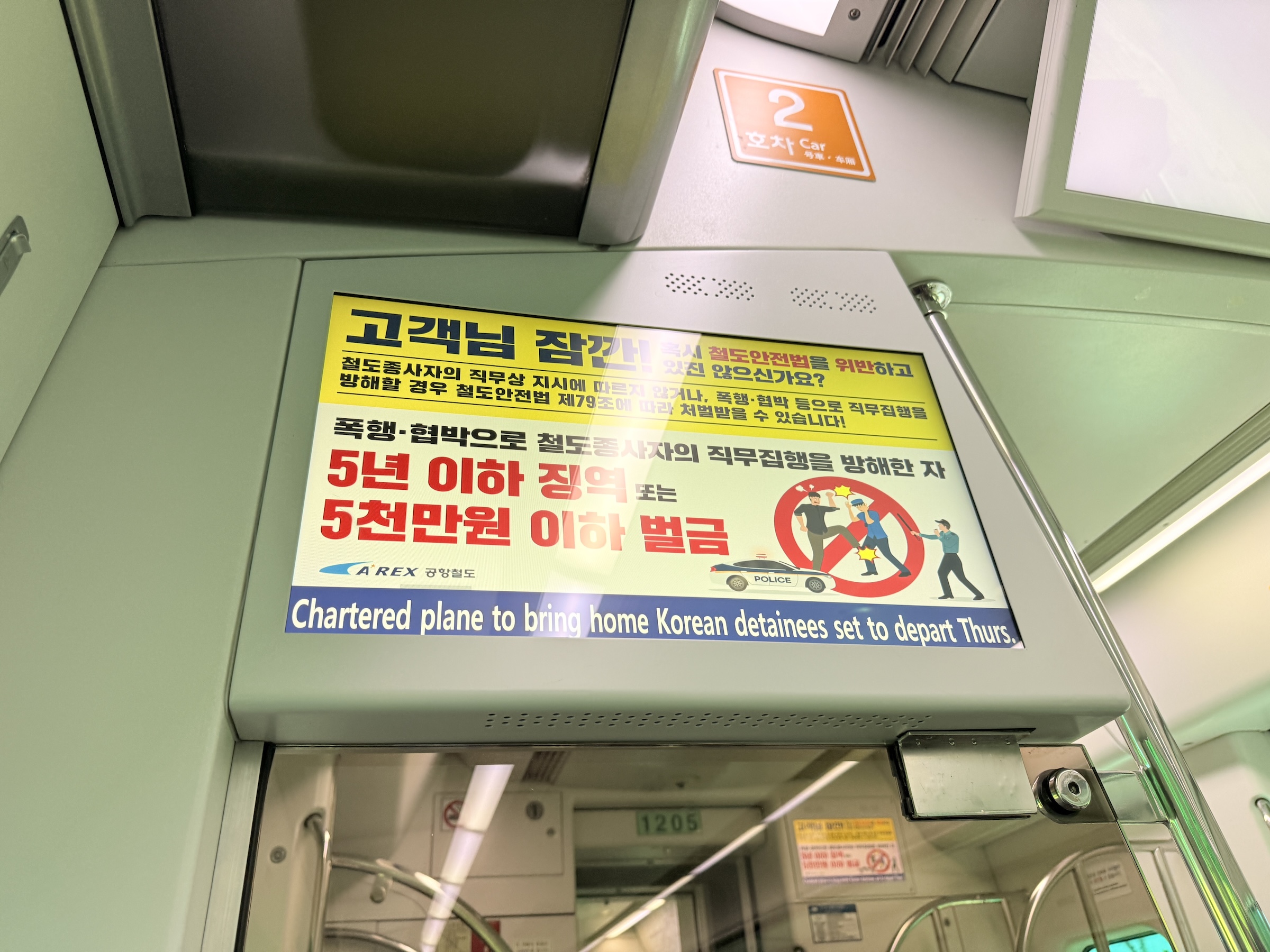
Hey! The postcard I had mailed to Seattle from the top of Seoul tower made it into my mailbox.

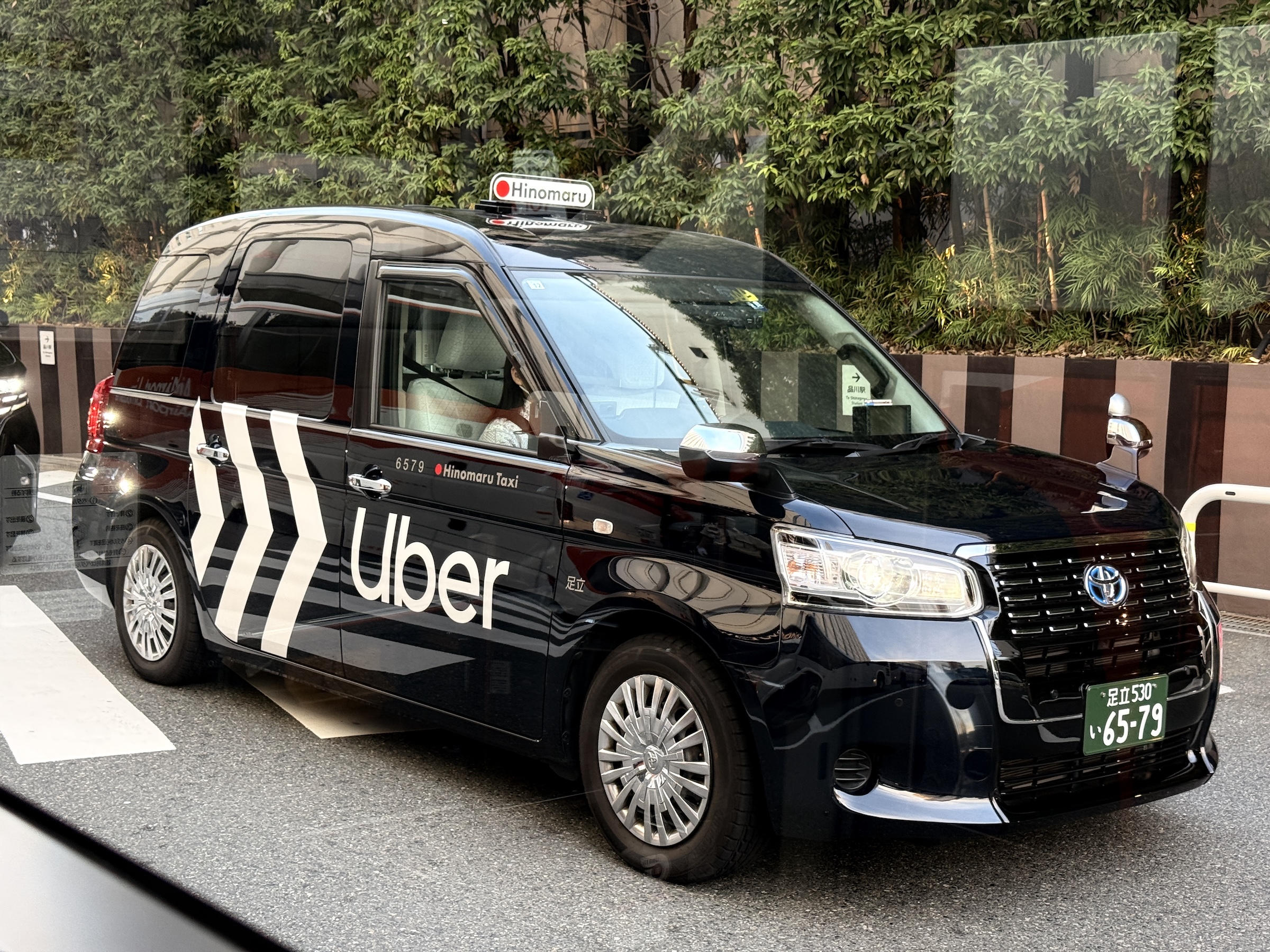
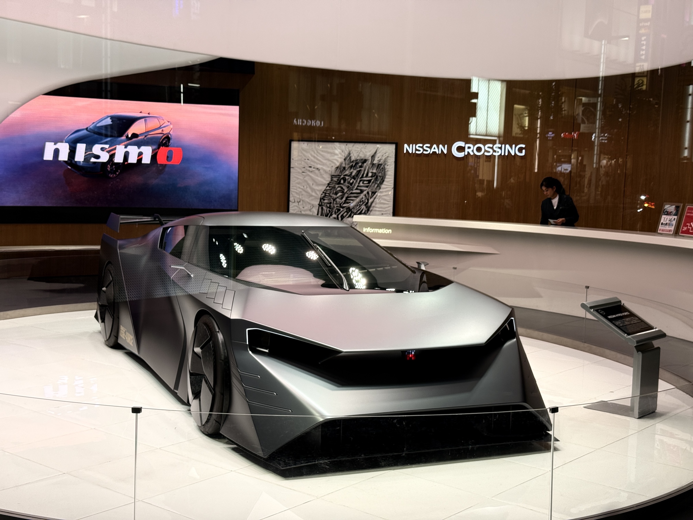
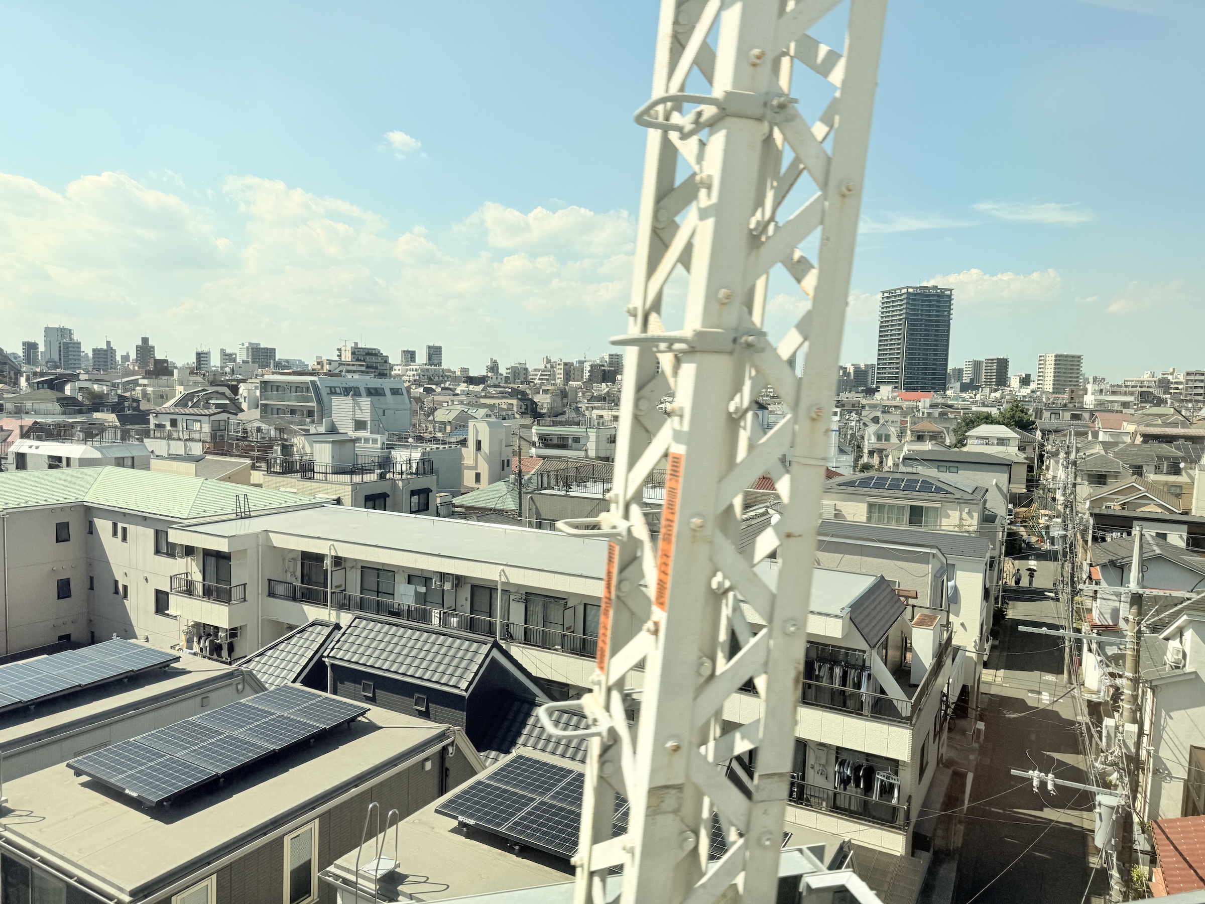
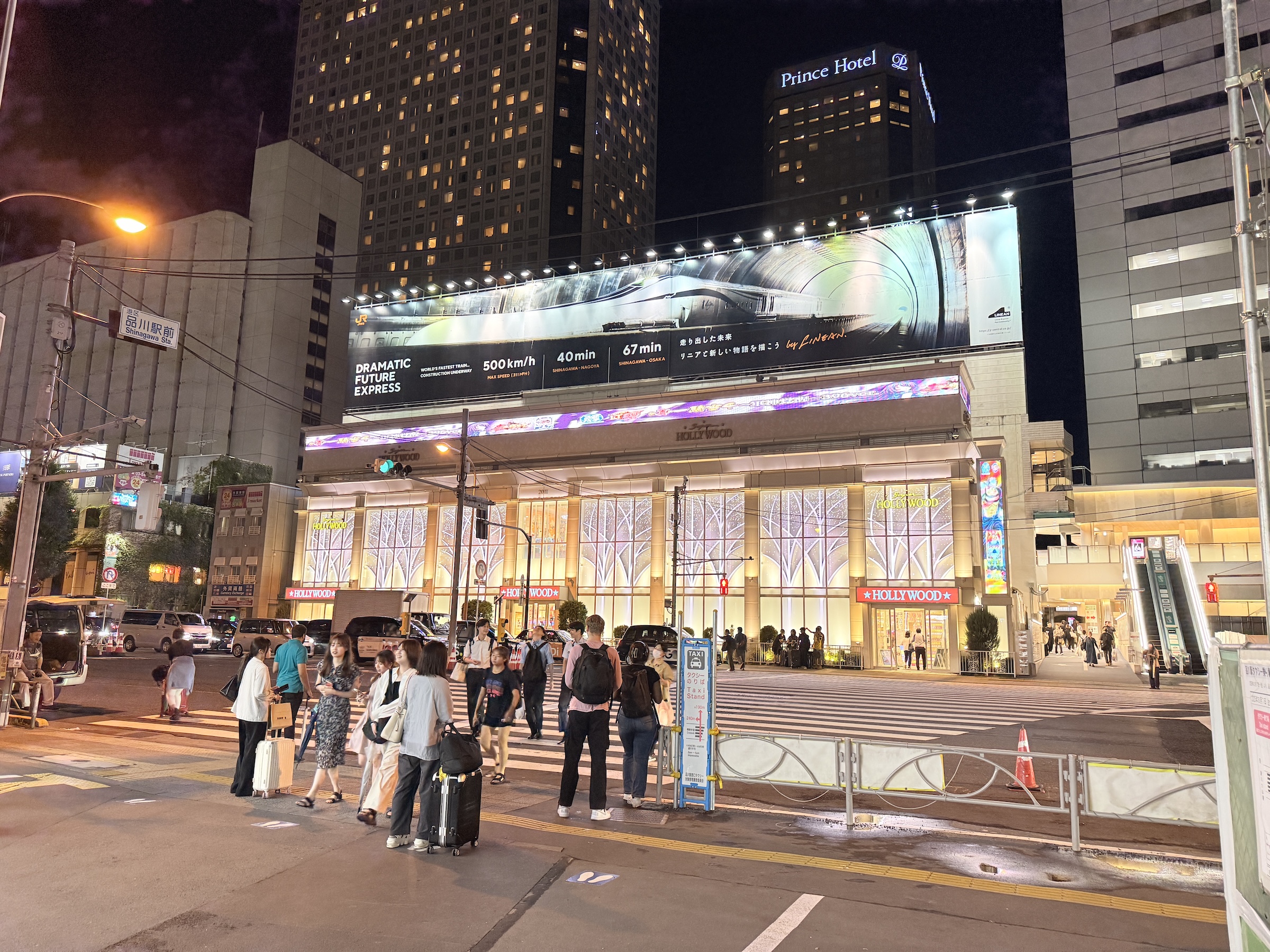
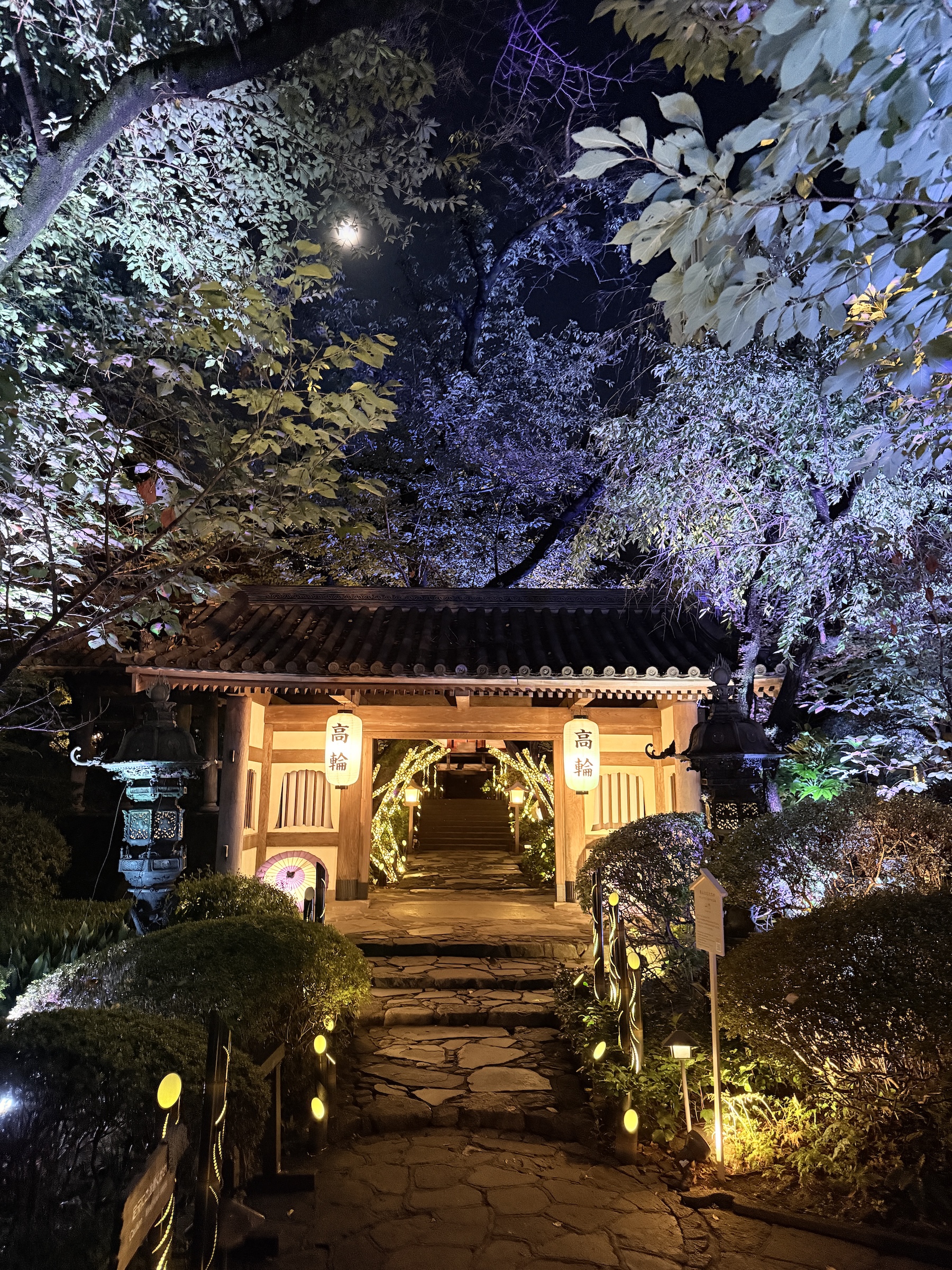
Thursday was my last full day here in Tokyo.
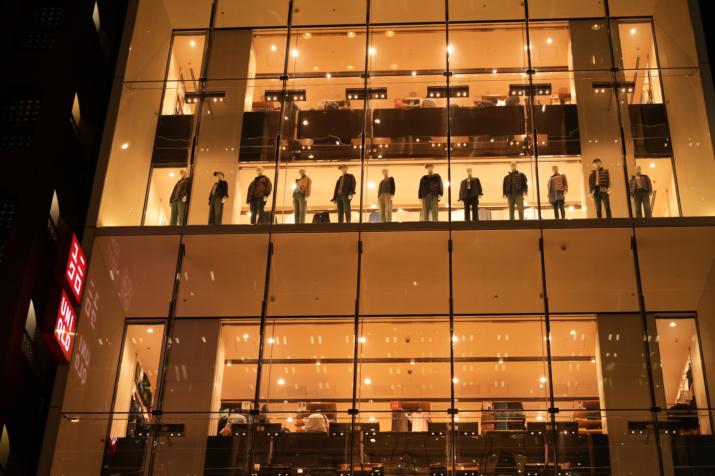
In the morning, I ran out to Uniqlo in Ginza to change my size M shirts that I had bought Wednesday night, for size L. (The line at the fitting room was too long yesterday and I took a chance with the size M).
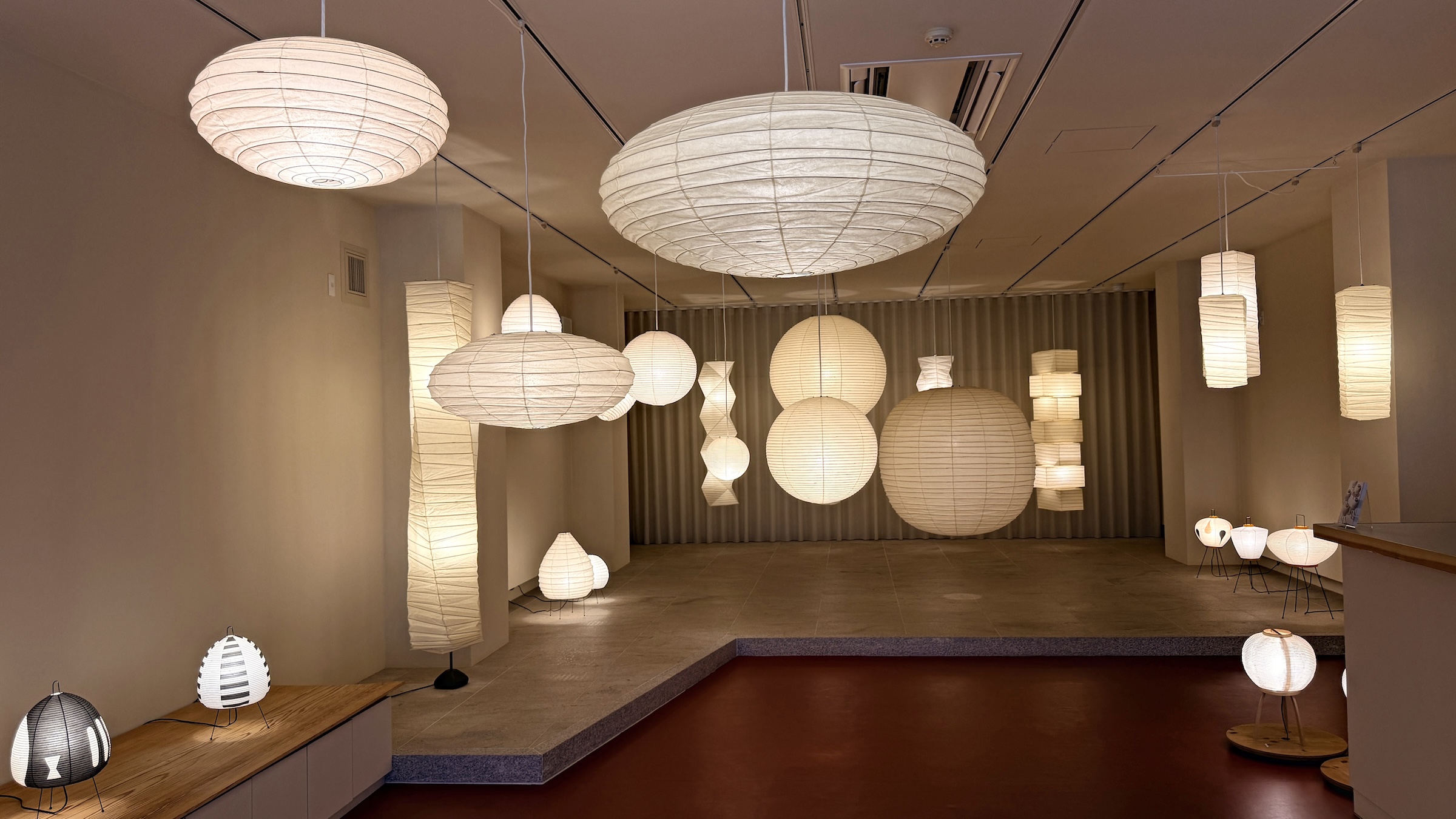
Then I went out to a gallery called Ozeki with beautiful Japanese lantern lamp shades that a YouTuber had recommended. I bought a little round one that is folded flat for packing into a suitcase. (At this point in any overseas trip it is always a question if all the stuff I had bought, would fit in my suitcases.)
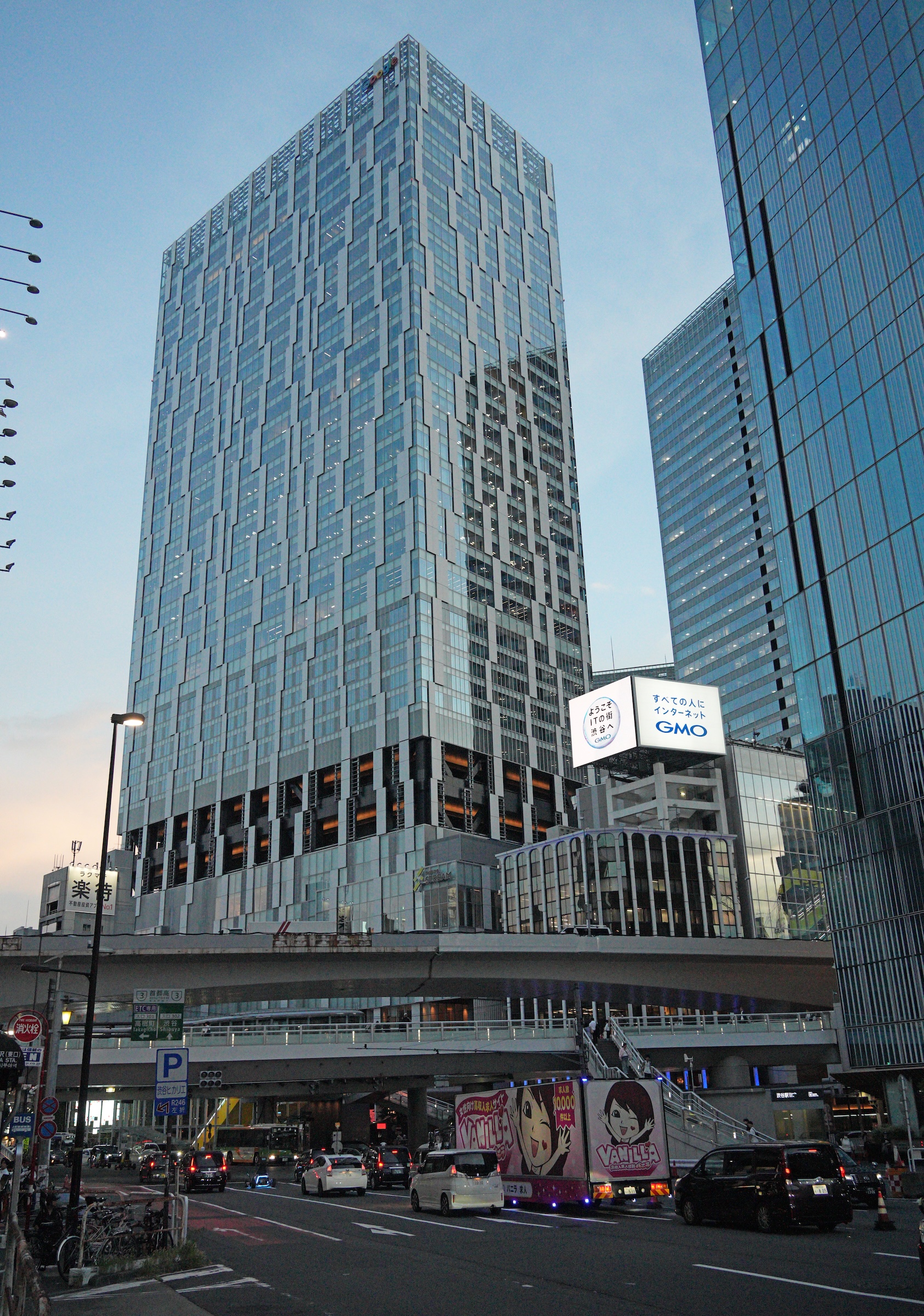
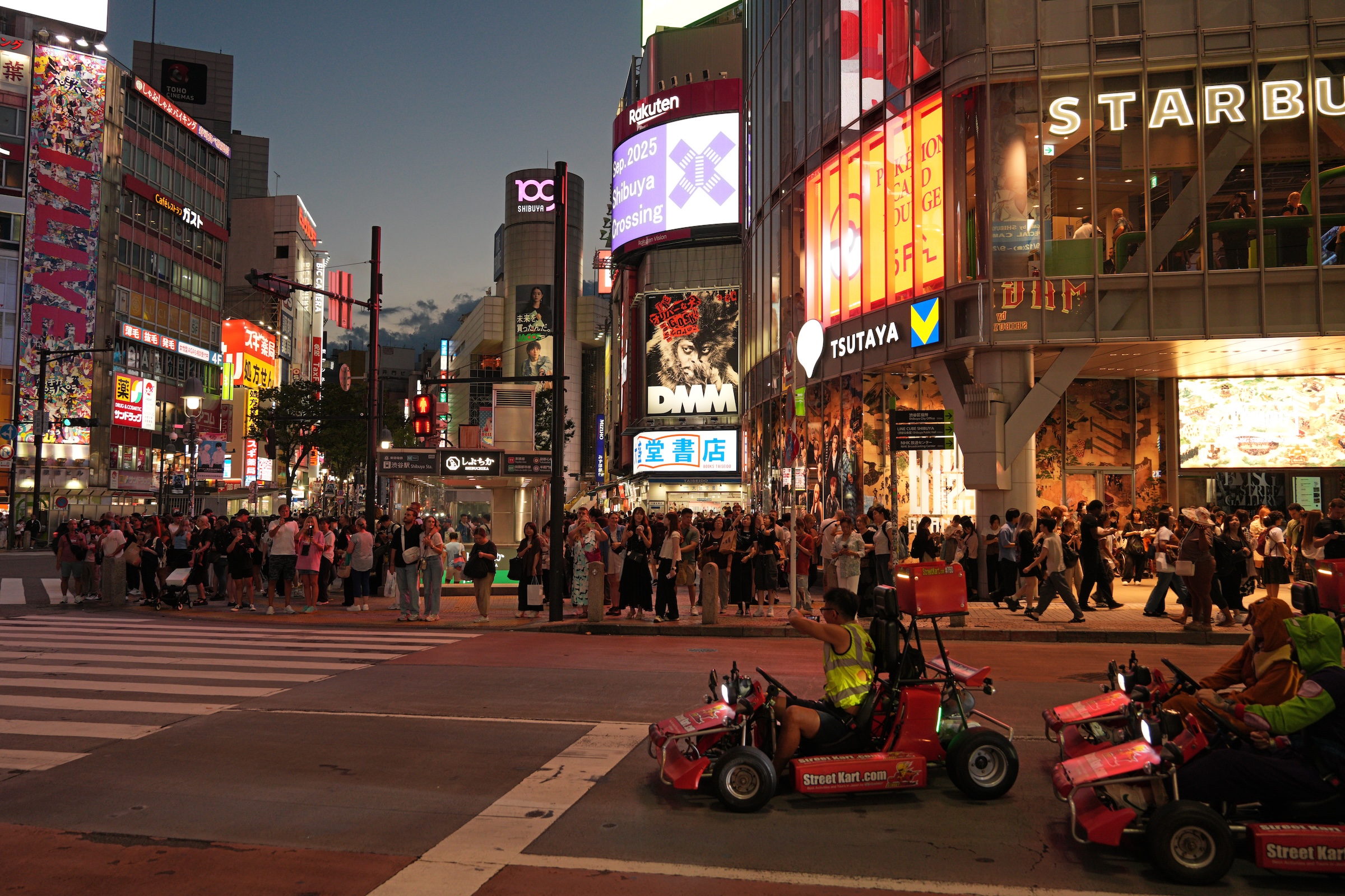
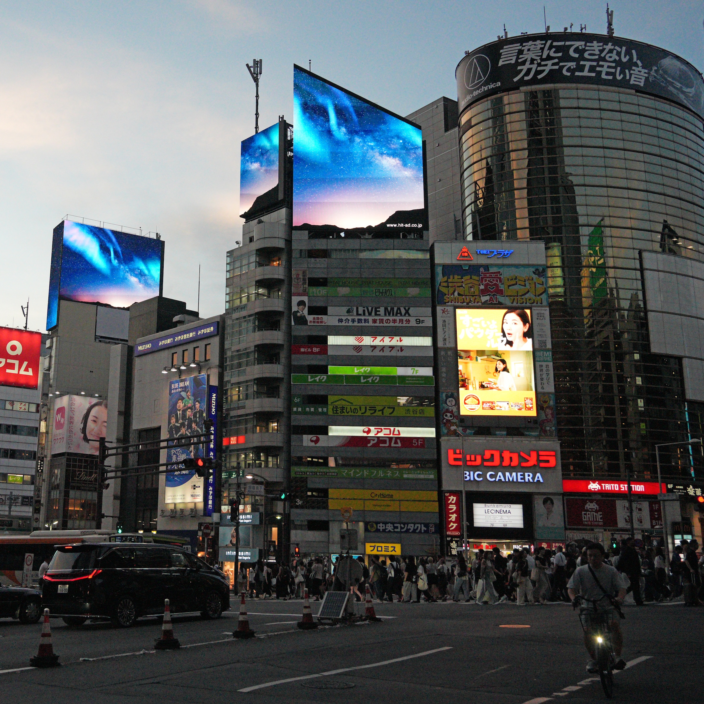
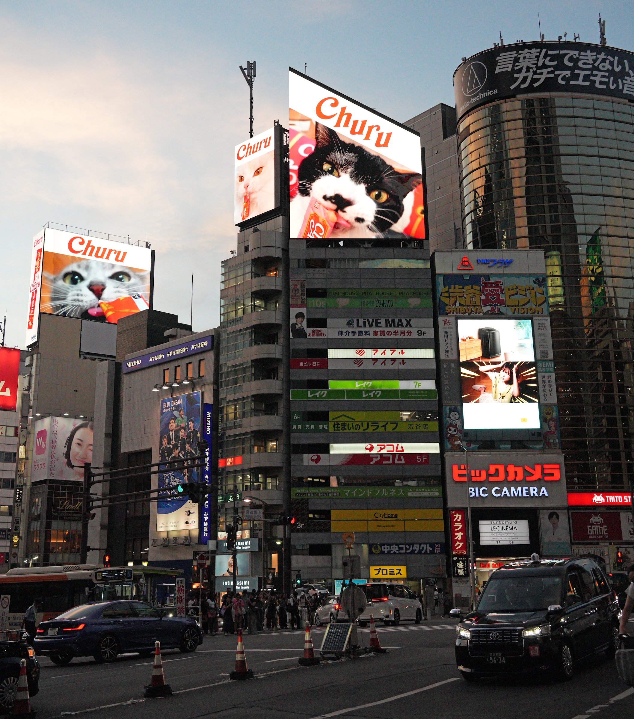
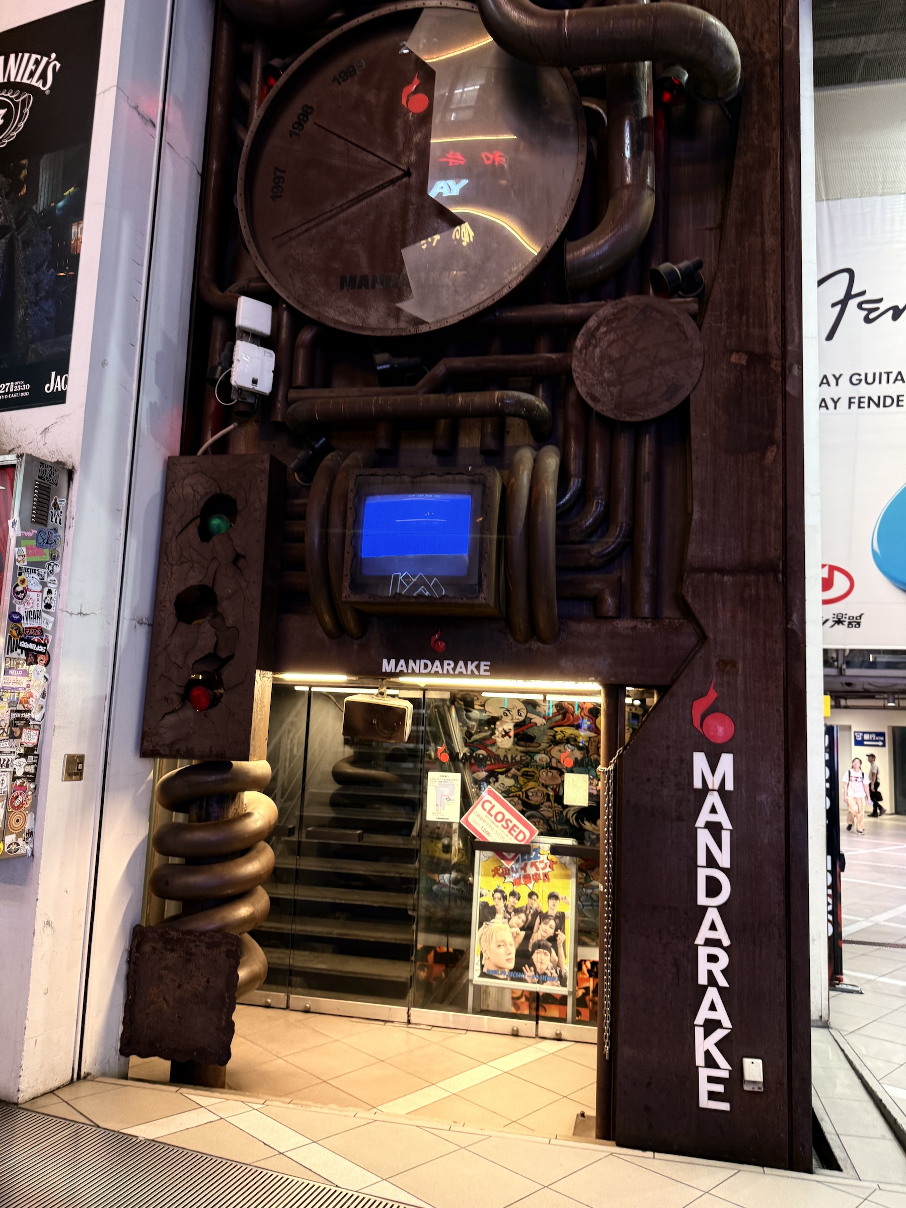
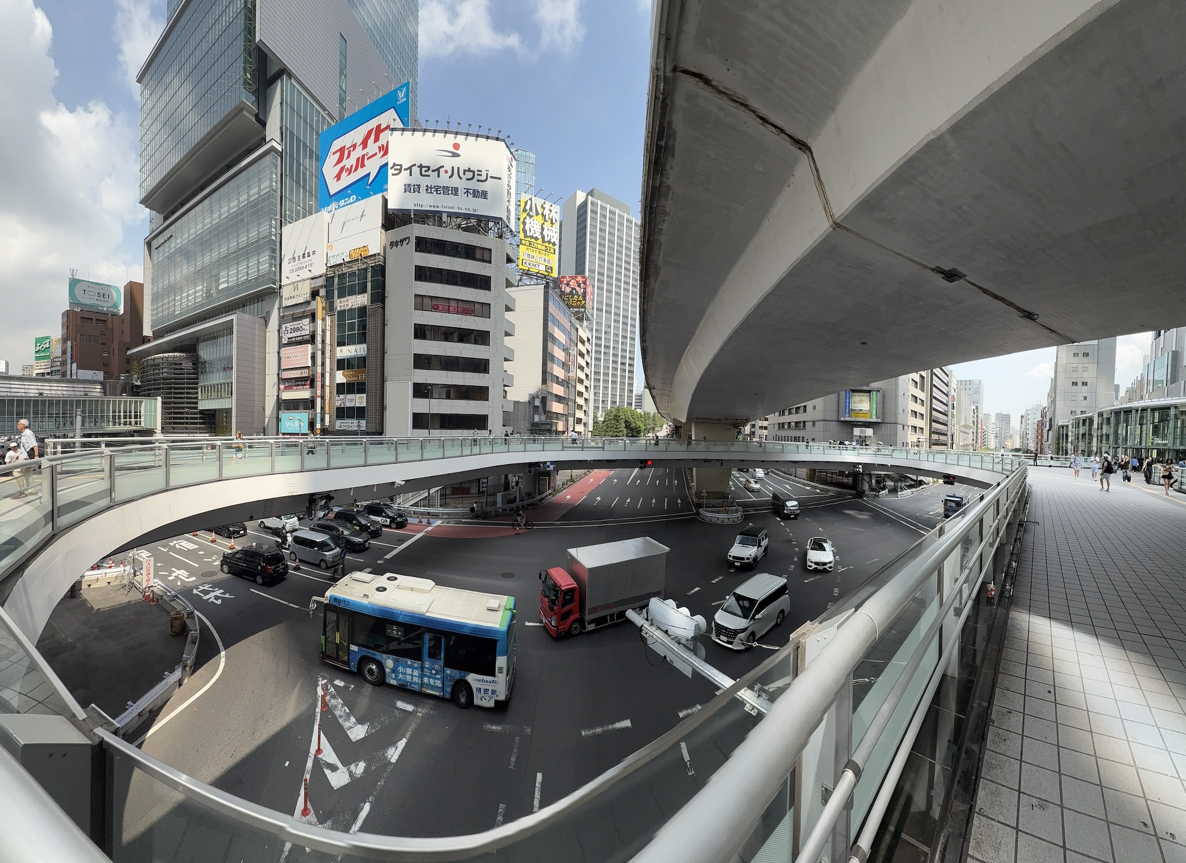
And for the evening I made a run out to the Mandarake store (books, cards, collectibles) in Shibyua. At 5.30 ish, it was almost too late. You don’t want to get crushed on the train by the commuters that go home.
At Shibuya Scramble Crossing: lots of crazy people and definitely too many foreigners taking selfies and annoying the locals, I’m sure.
Get out of my way!
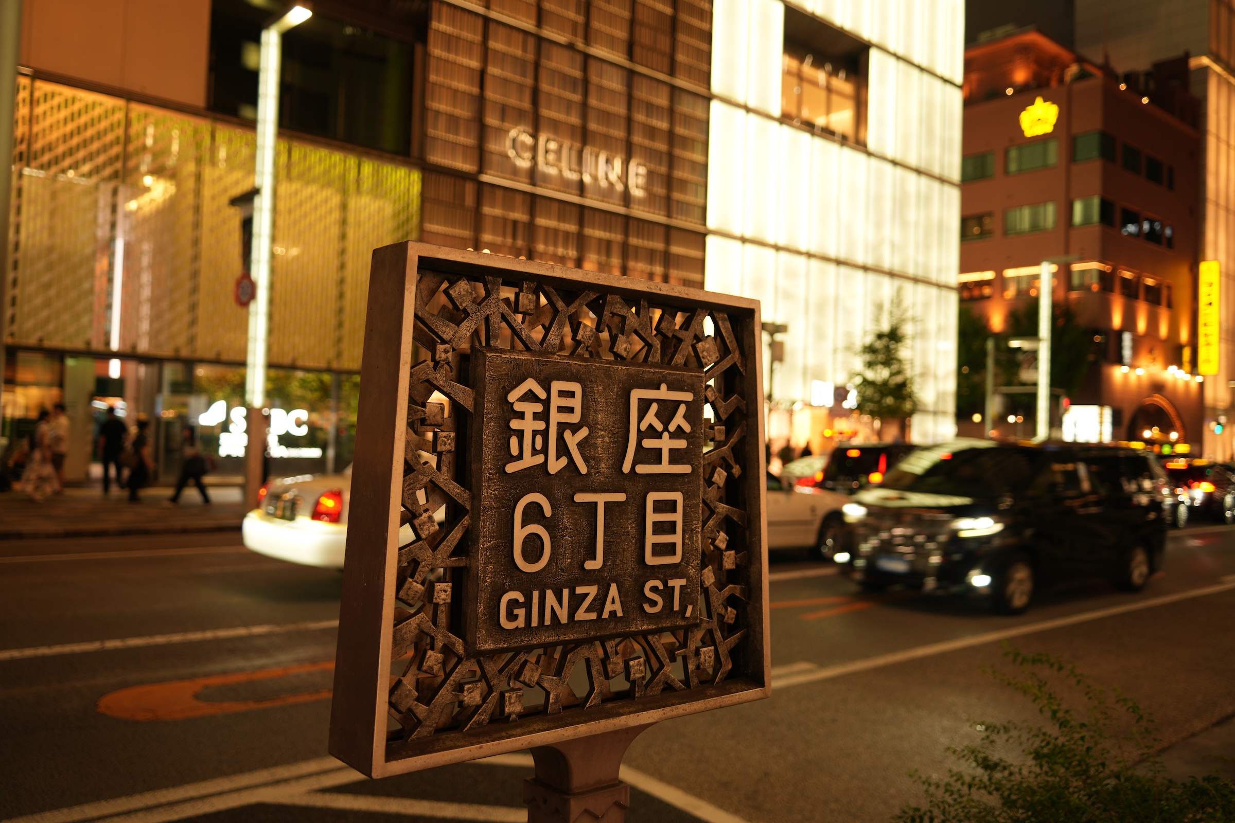
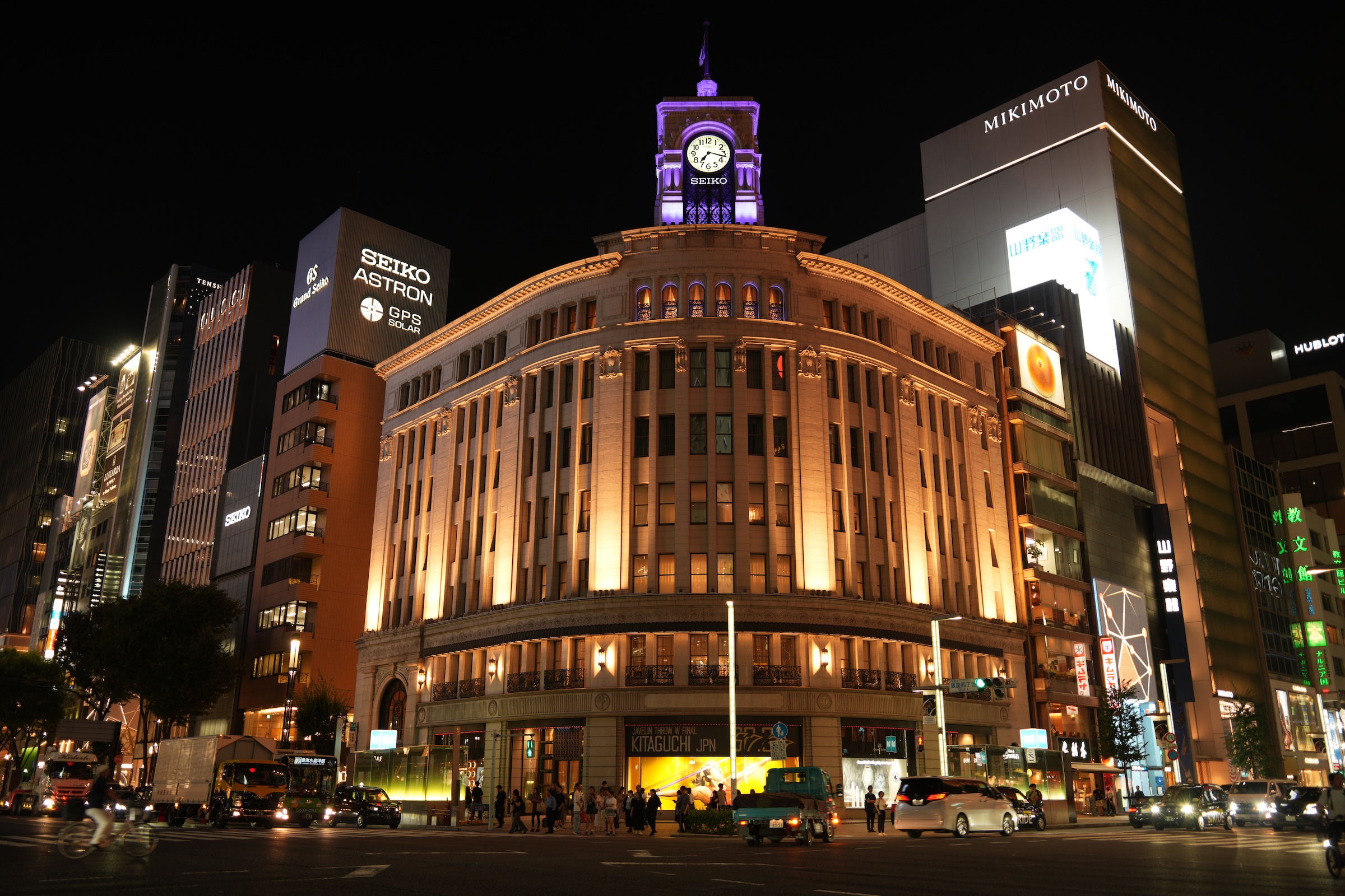
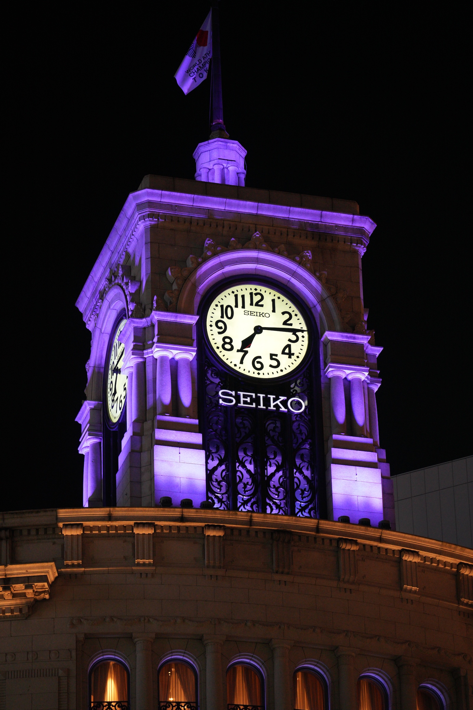
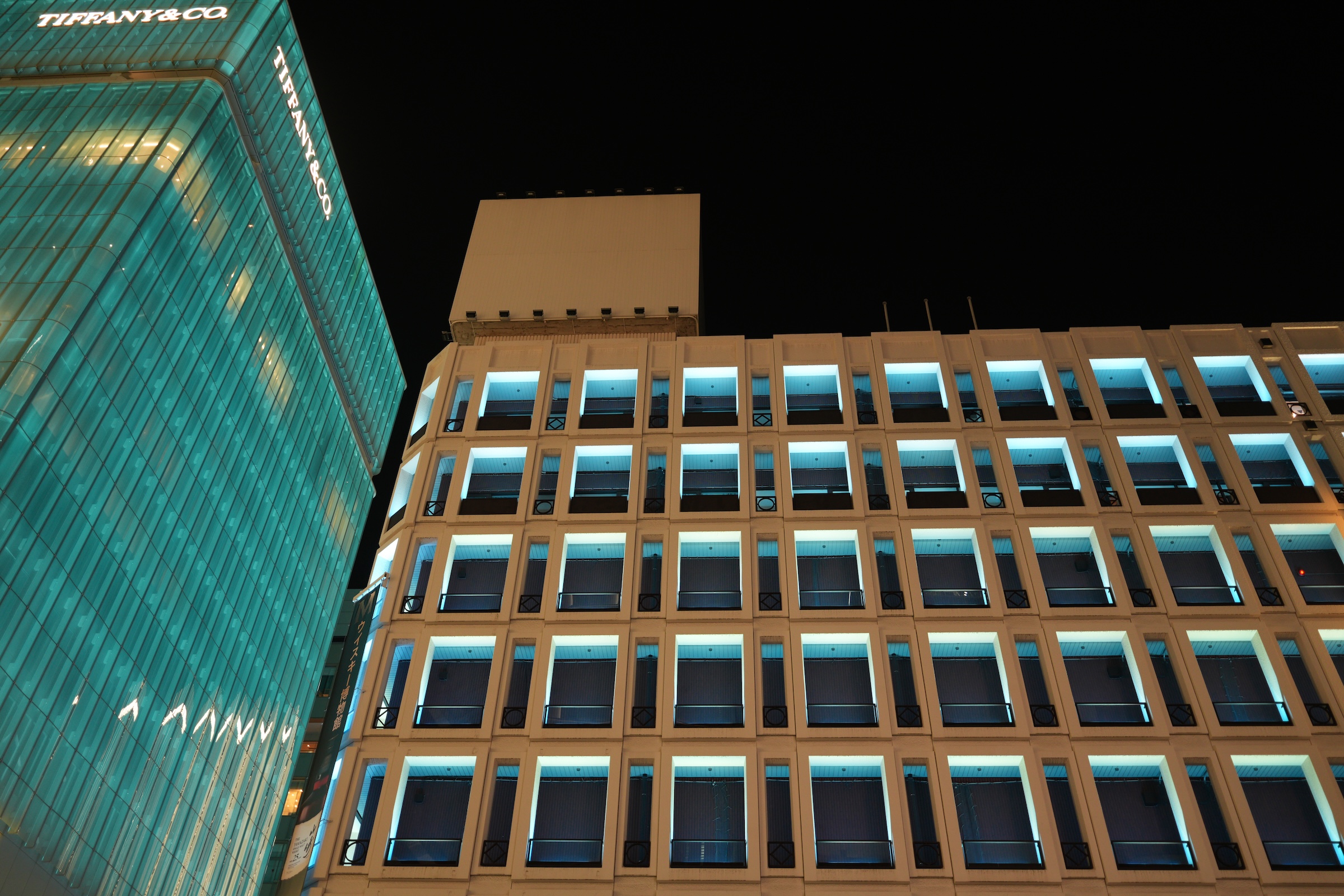
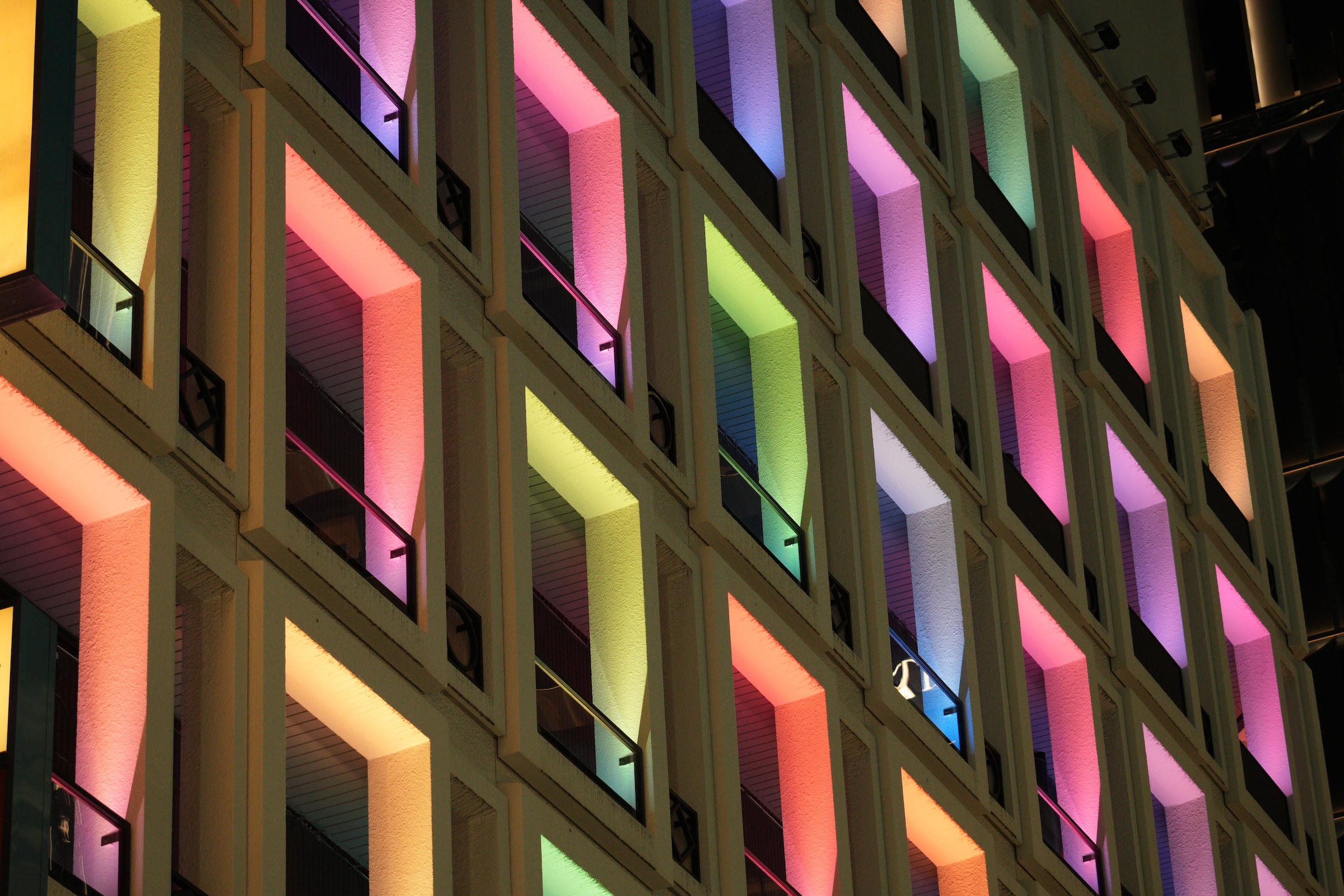
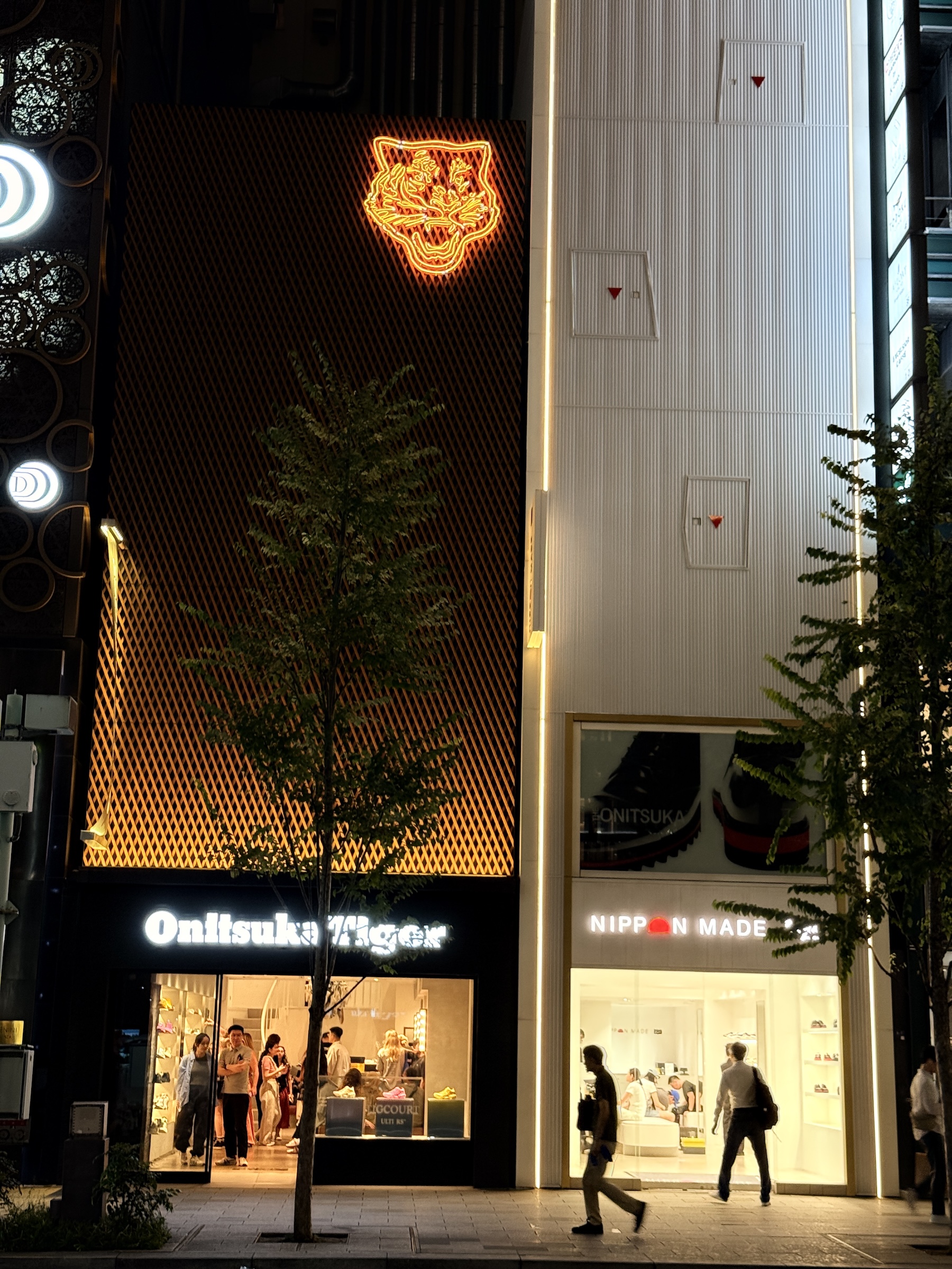
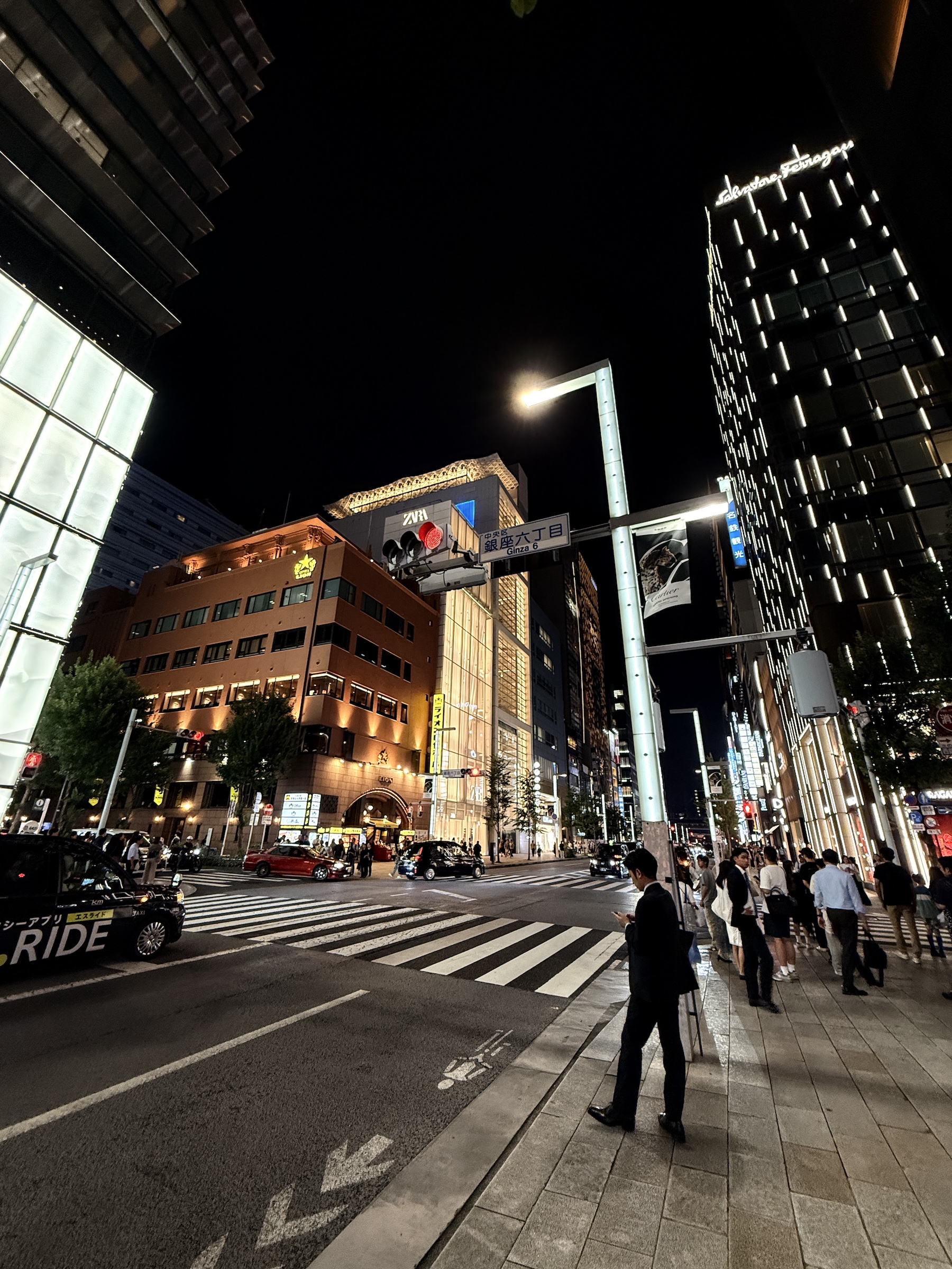
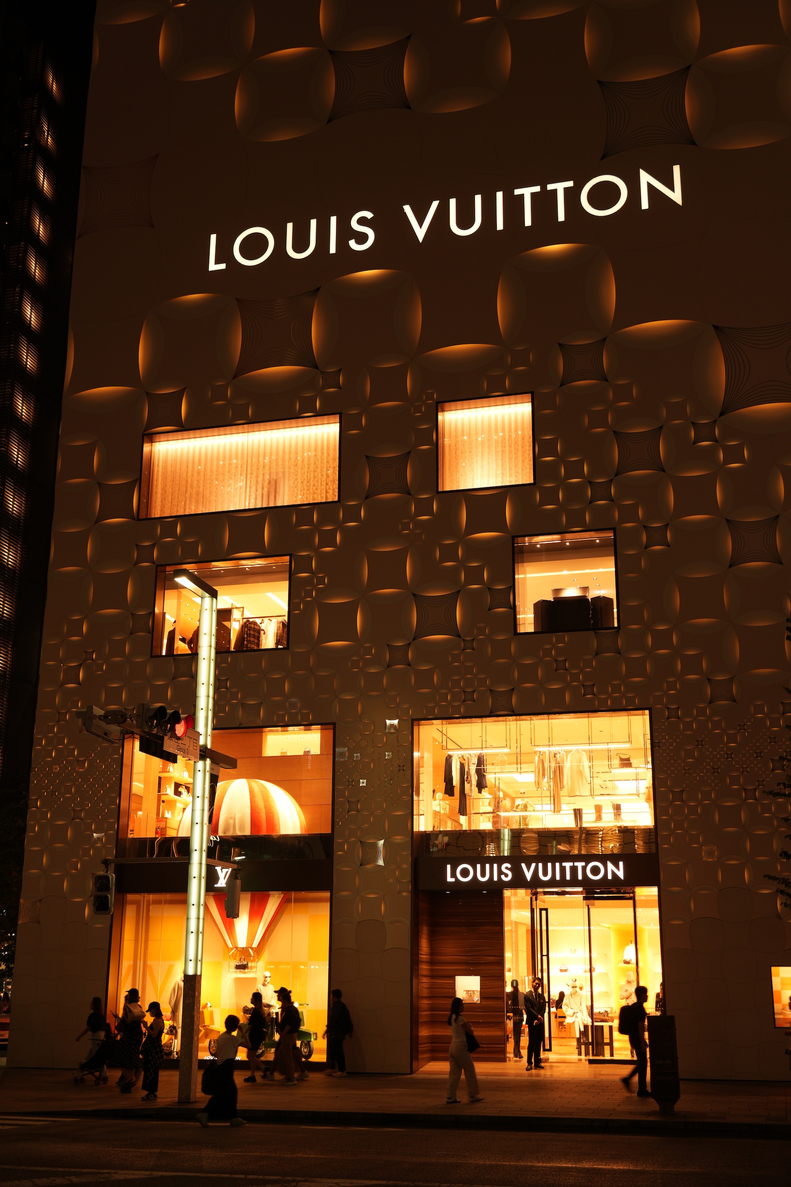
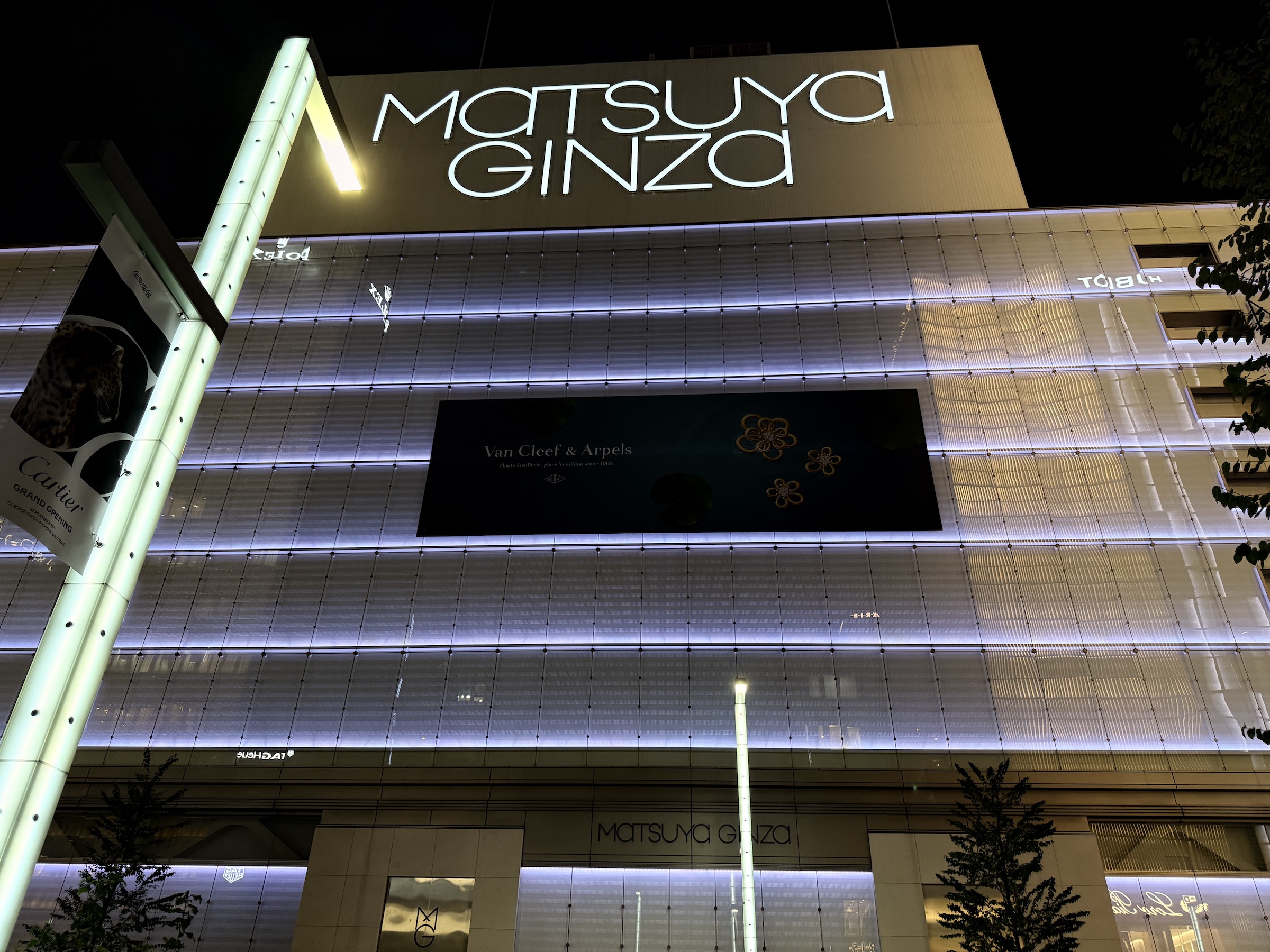
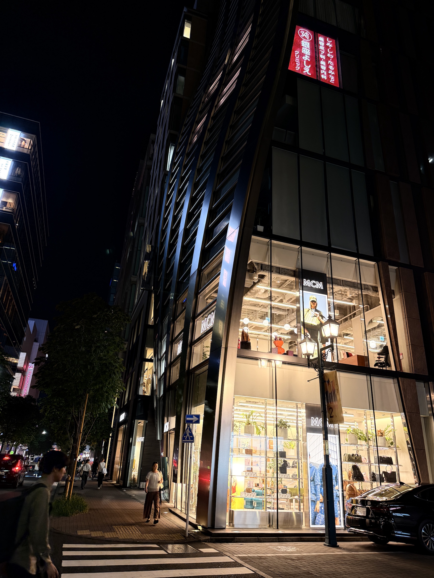
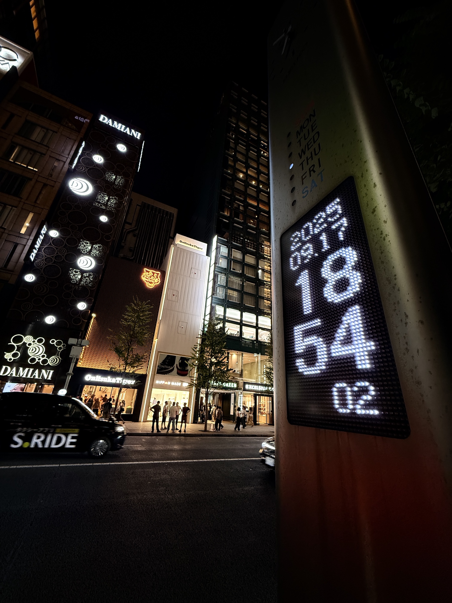
On Wednesday night I did my mandatory (mandatory for me) walk-about along the main street in Ginza, Tokyo’s luxury shopping district. The street is named Chuo-dori, which translates to ‘Central Street’.
The sign in the first picture says ‘Ginza Block 6’.
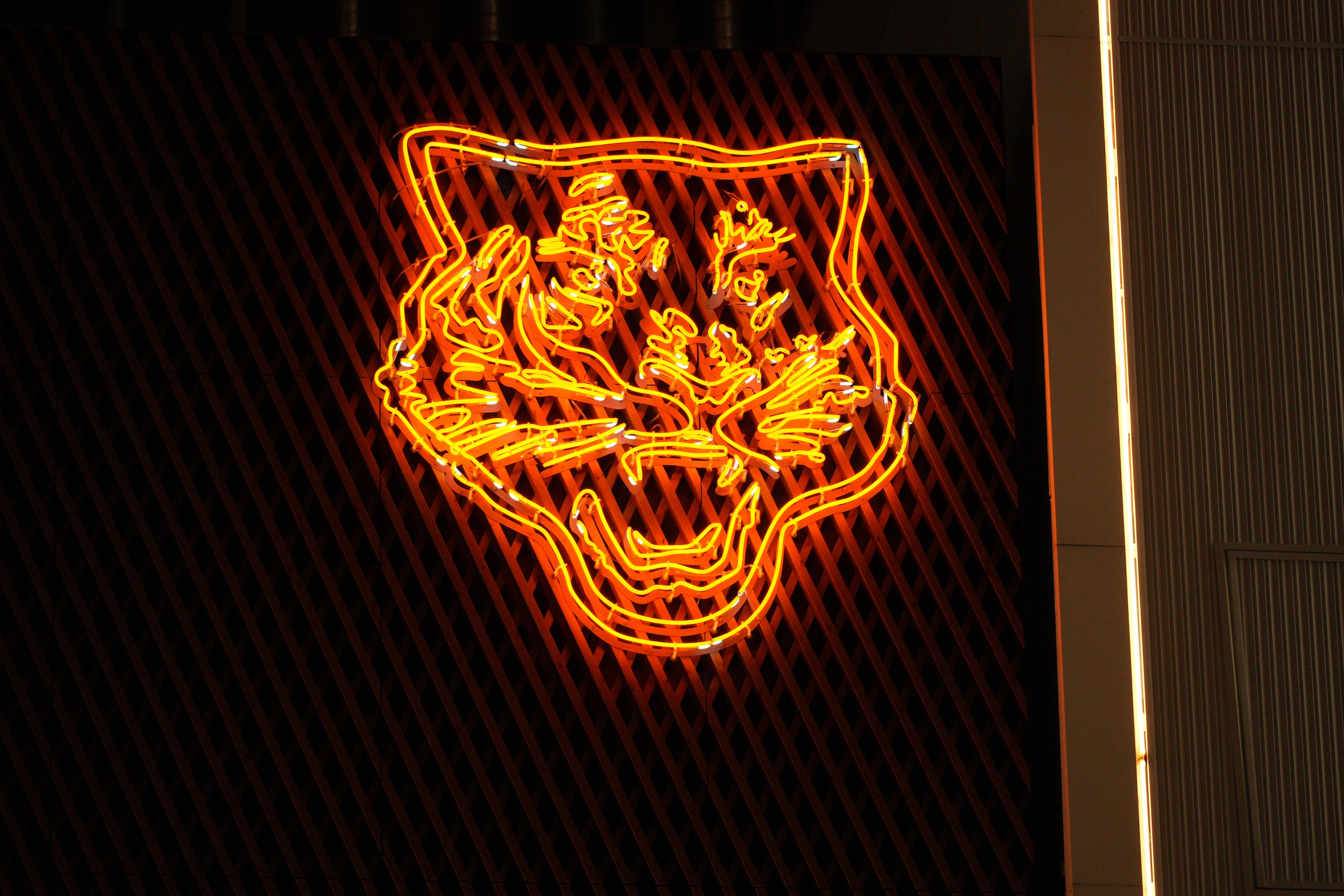
Stores on Chuo-dori close at 7 or at 8. The Onitsuka Tiger store (Japanese footwear maker) was filled with sneaker aficionados right until closing time. Look for the storefront with the cool tiger neon sign in the pictures below.
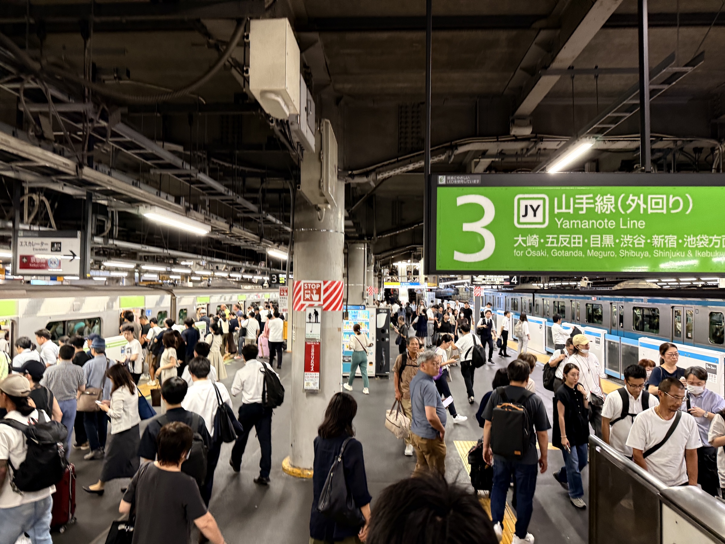
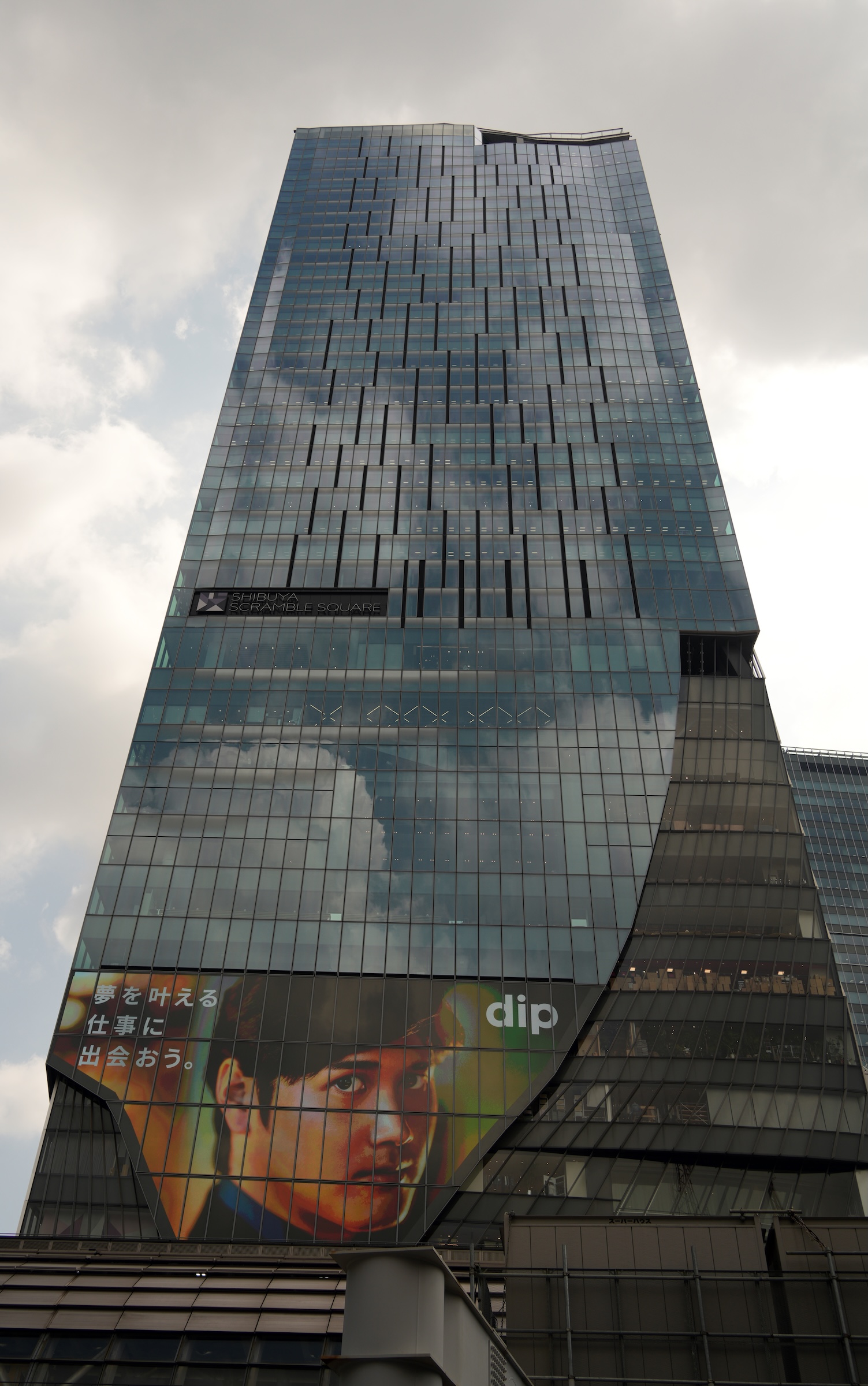
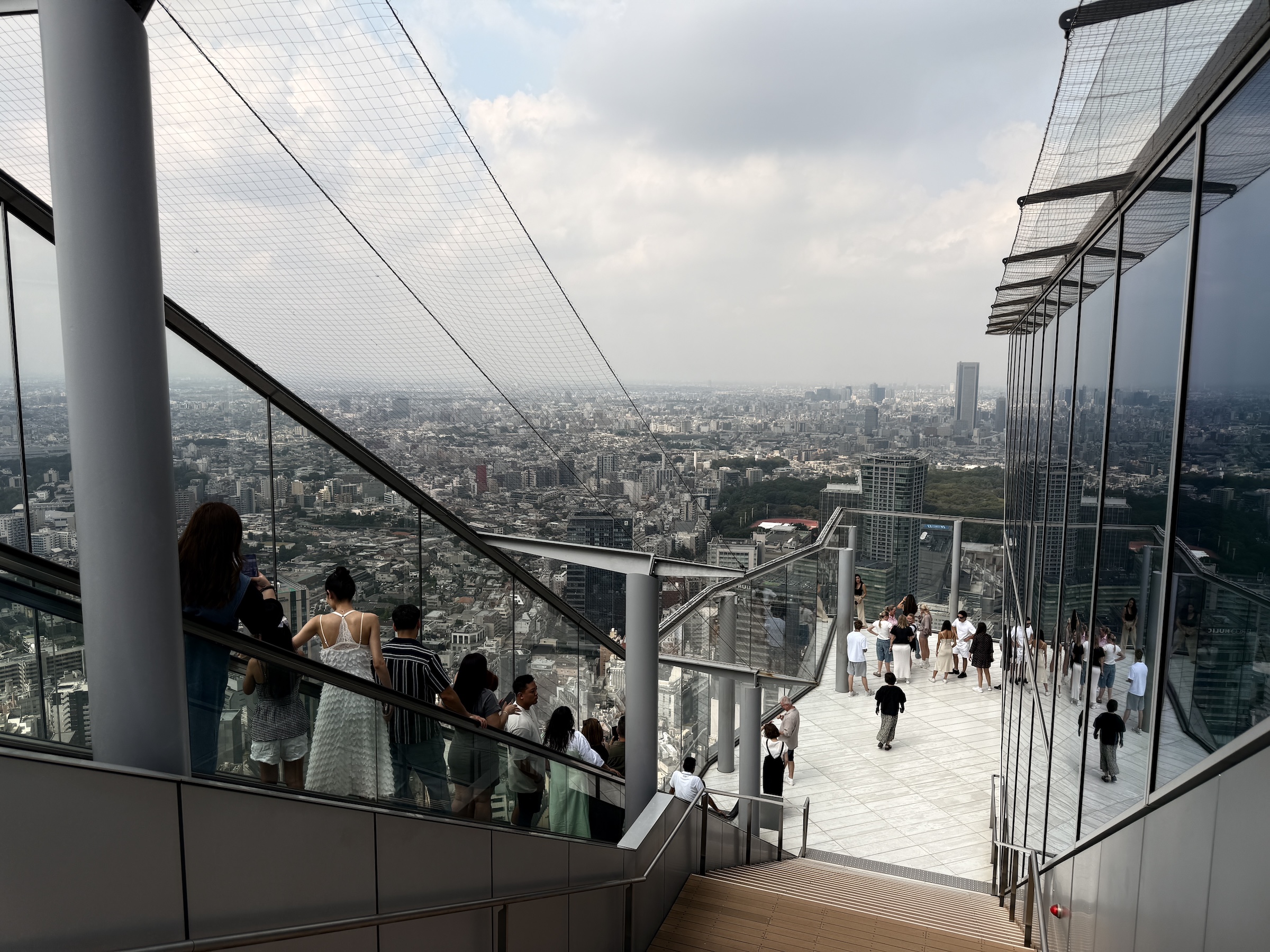
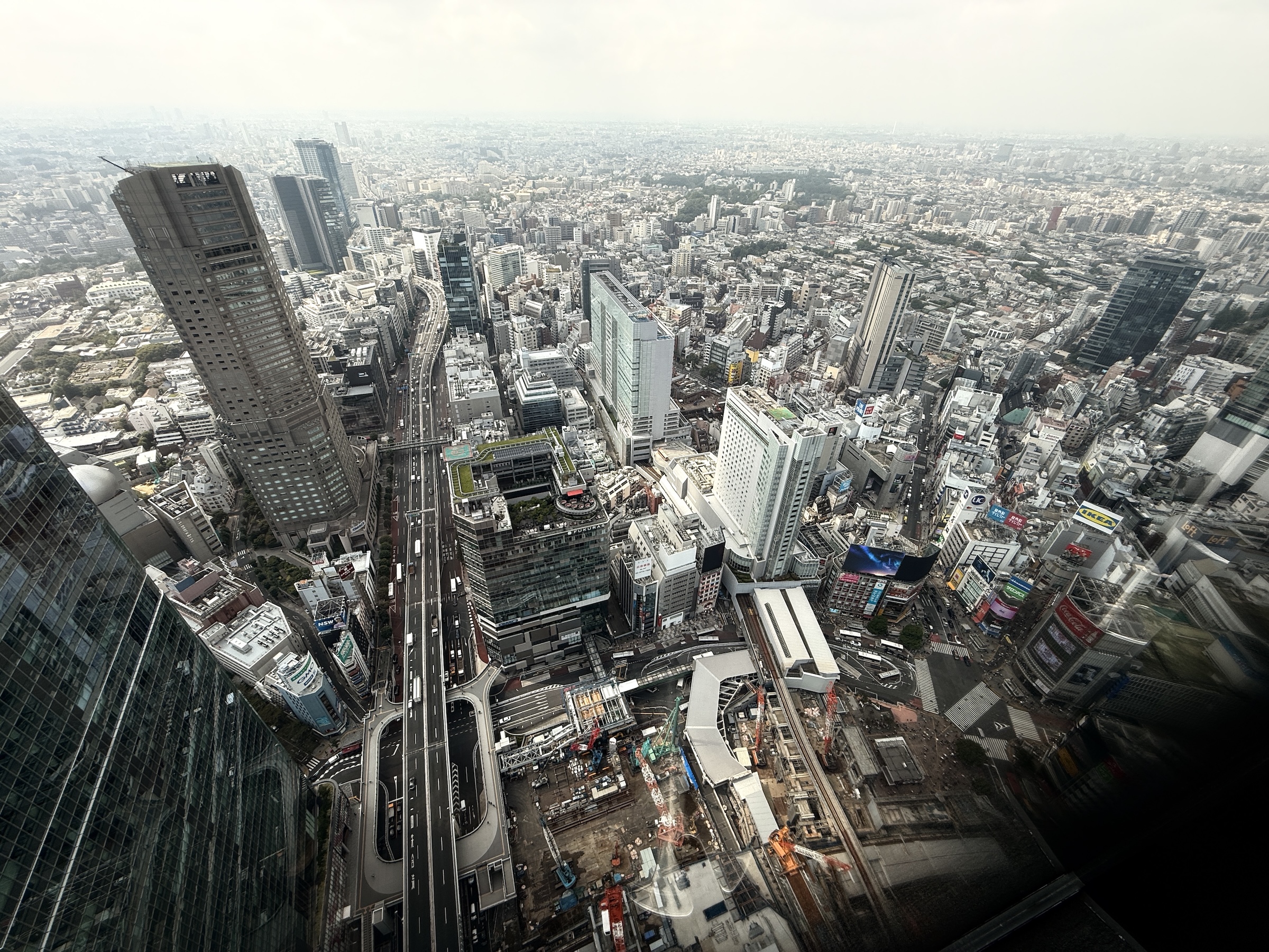
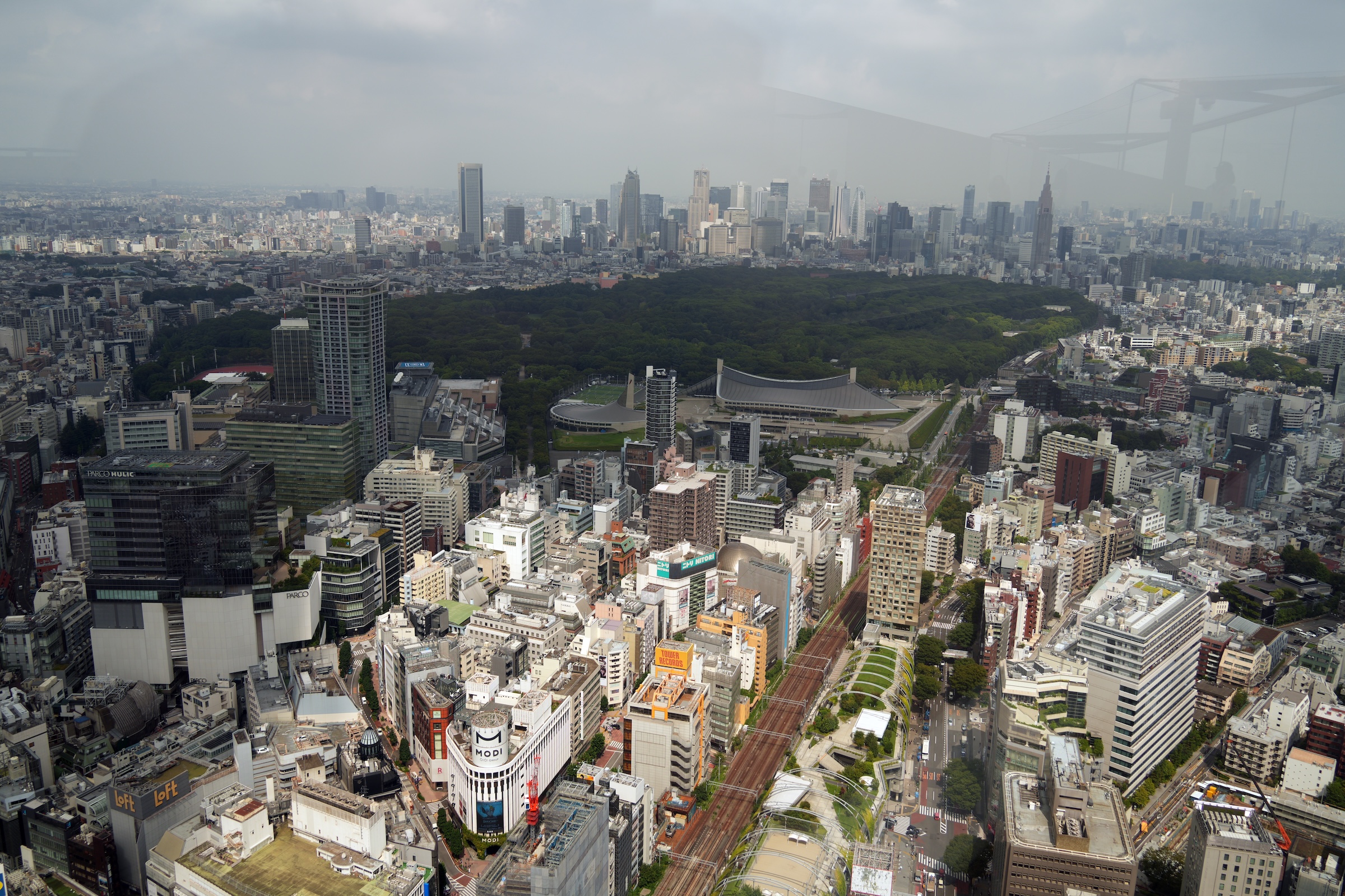
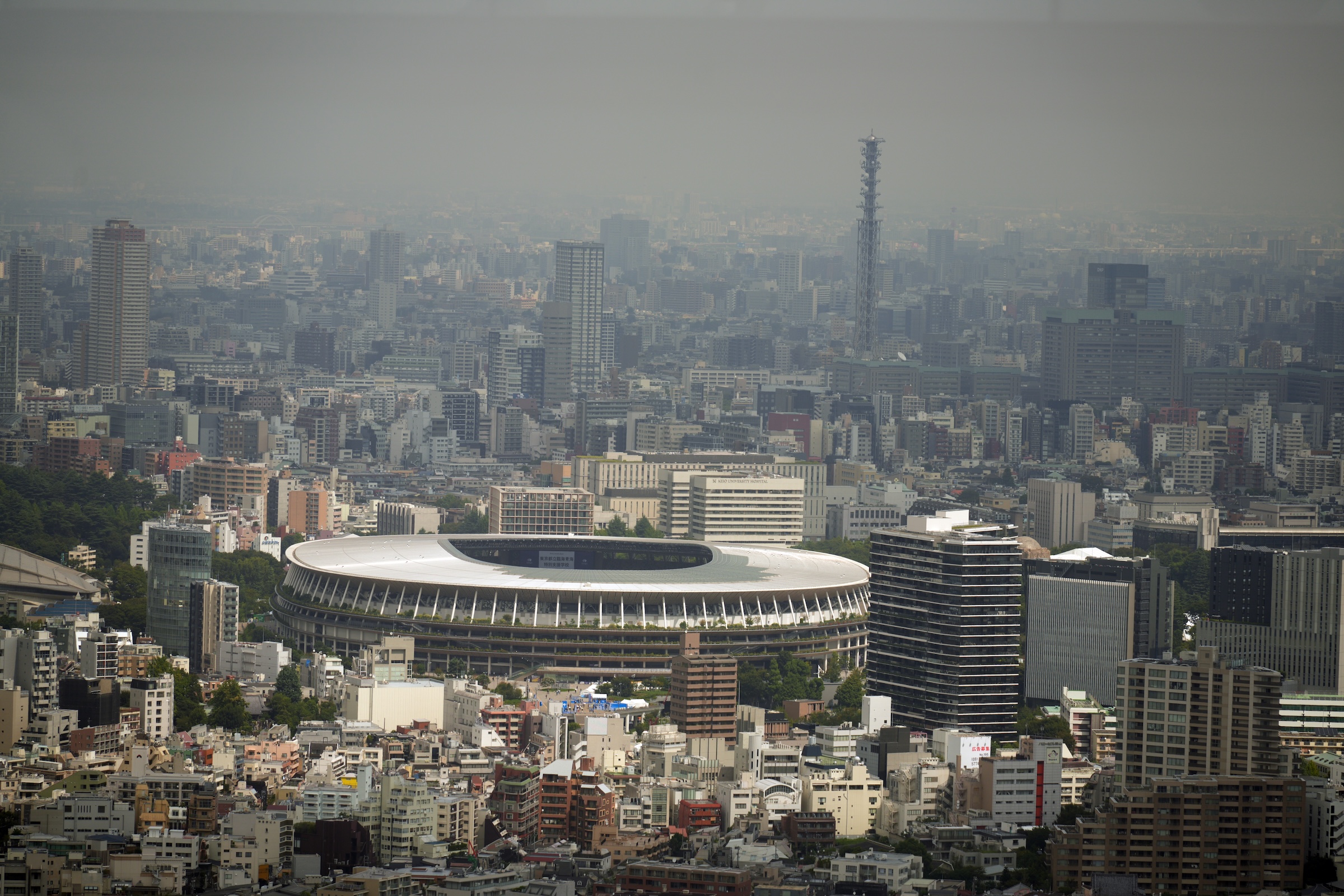
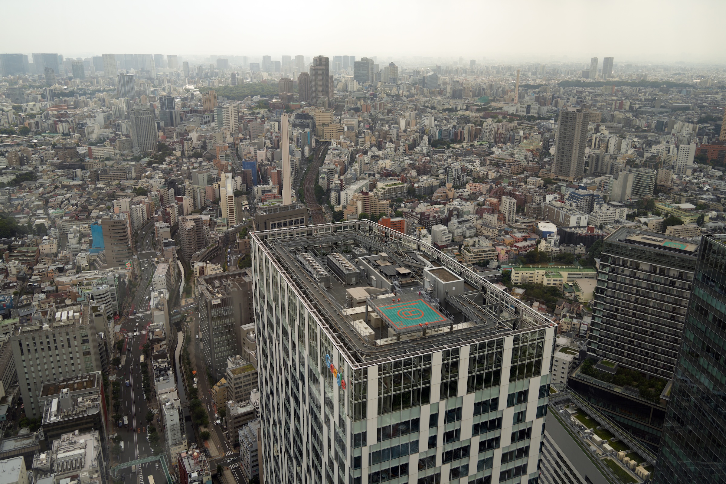
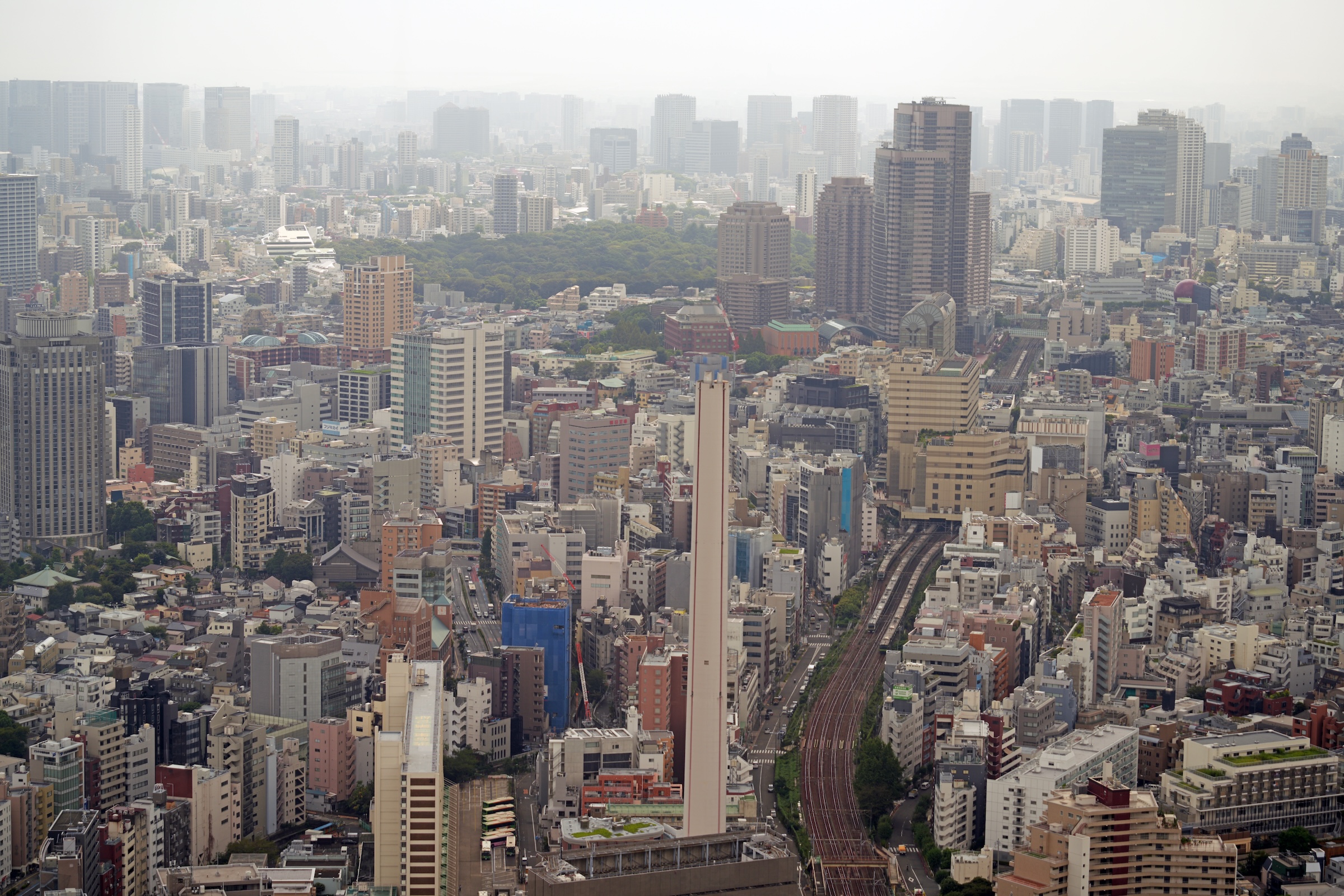
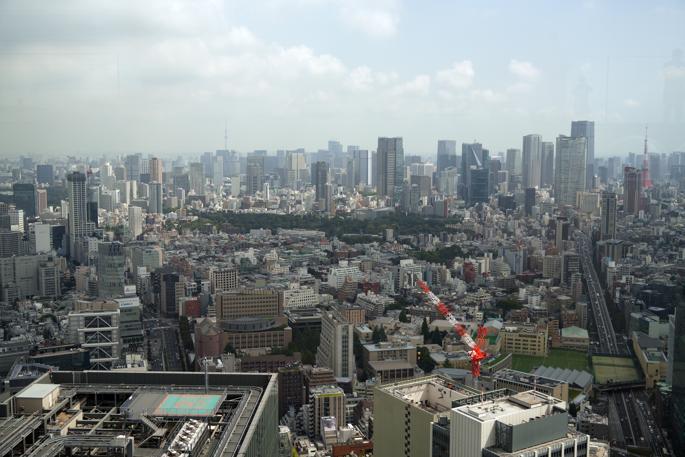
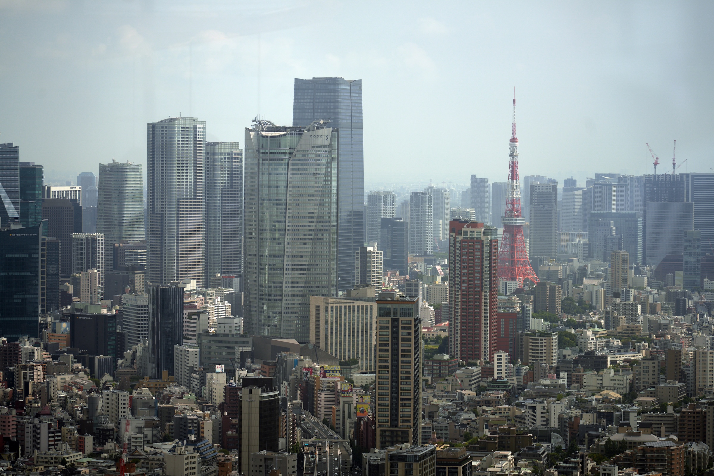
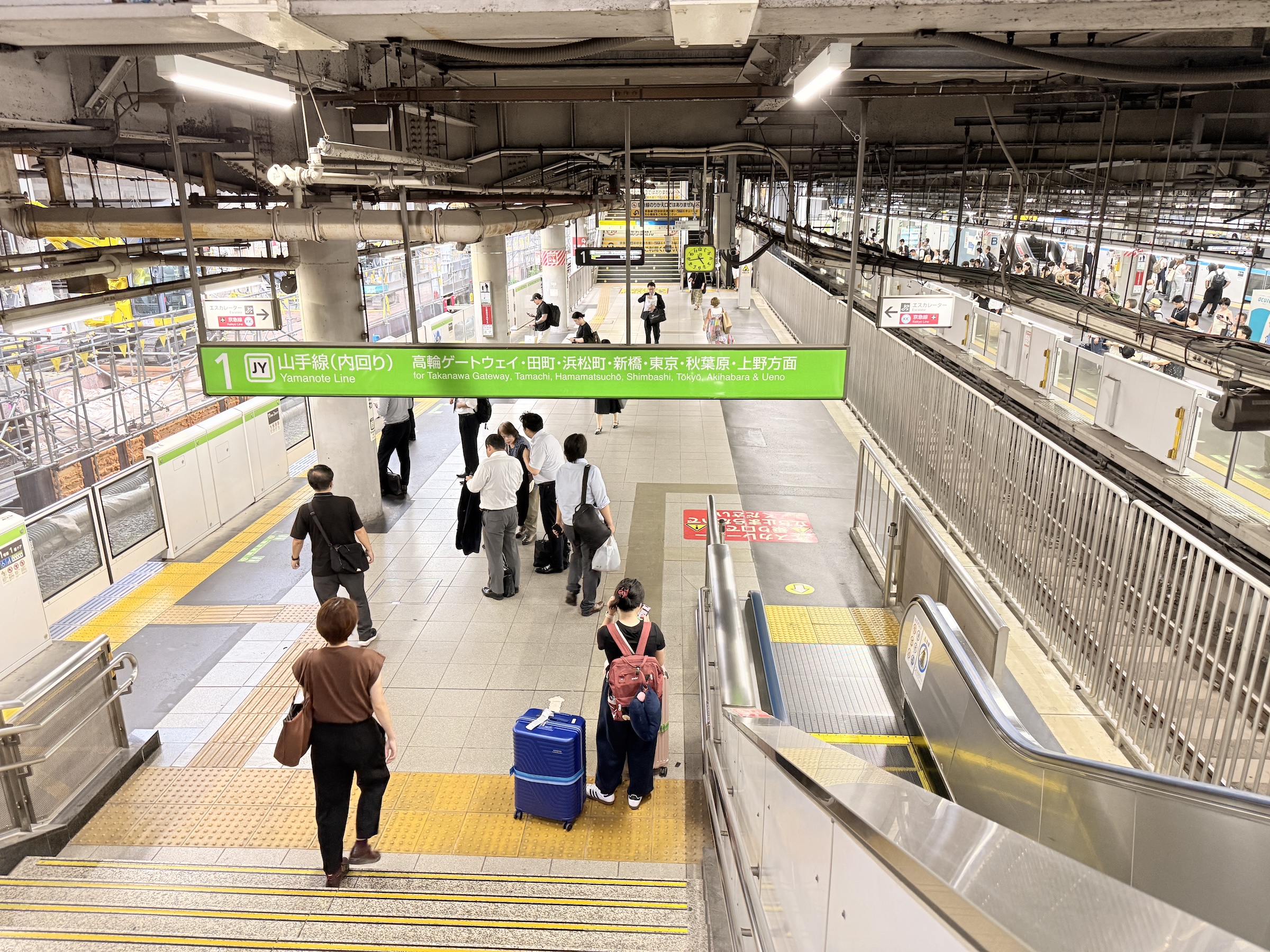
I took the Yamanote line to Shibuya station on Tuesday morning.
My reservation to visit the open air observation on top of the Shibuya Scramble Square Tower had rained out last week, so I wanted to give it another try.
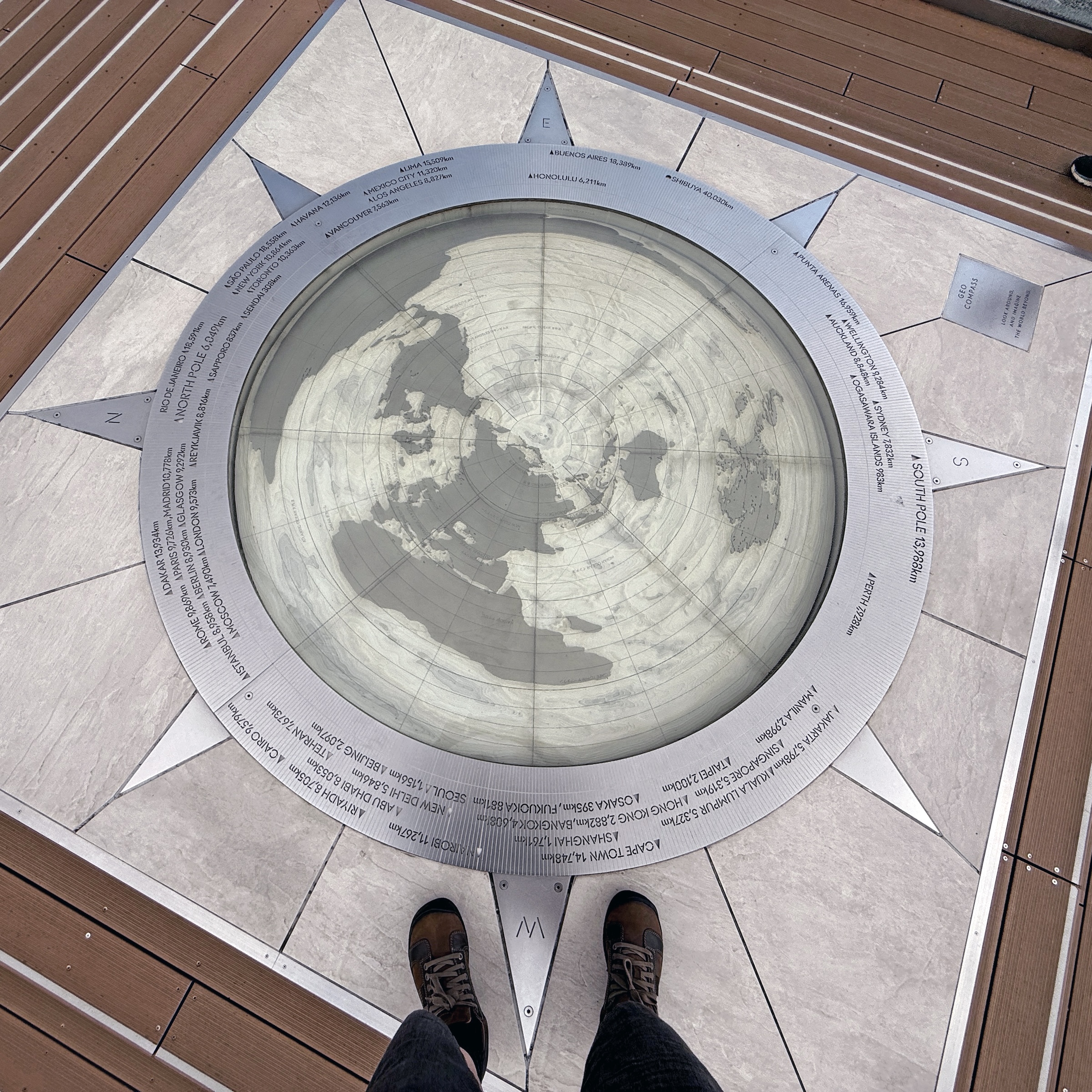
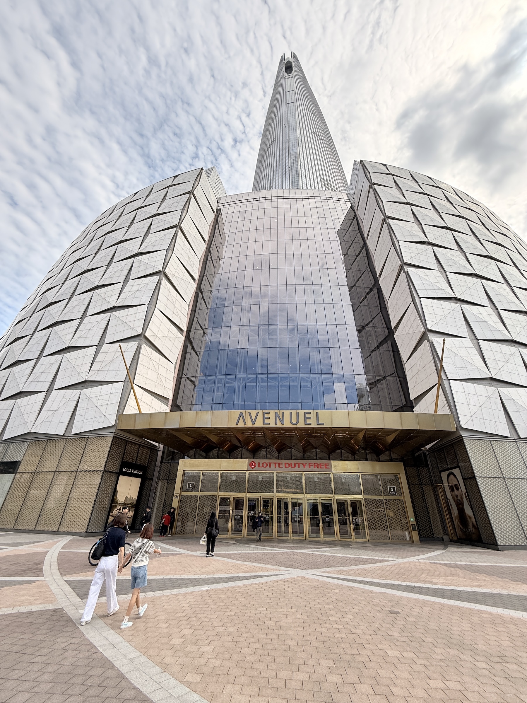
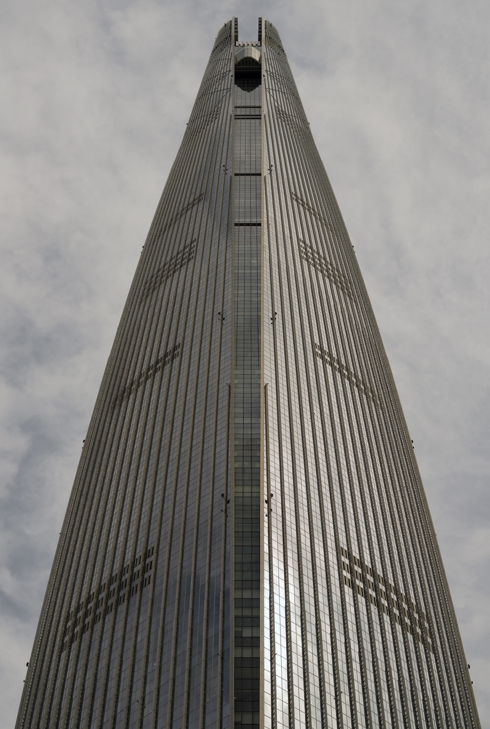
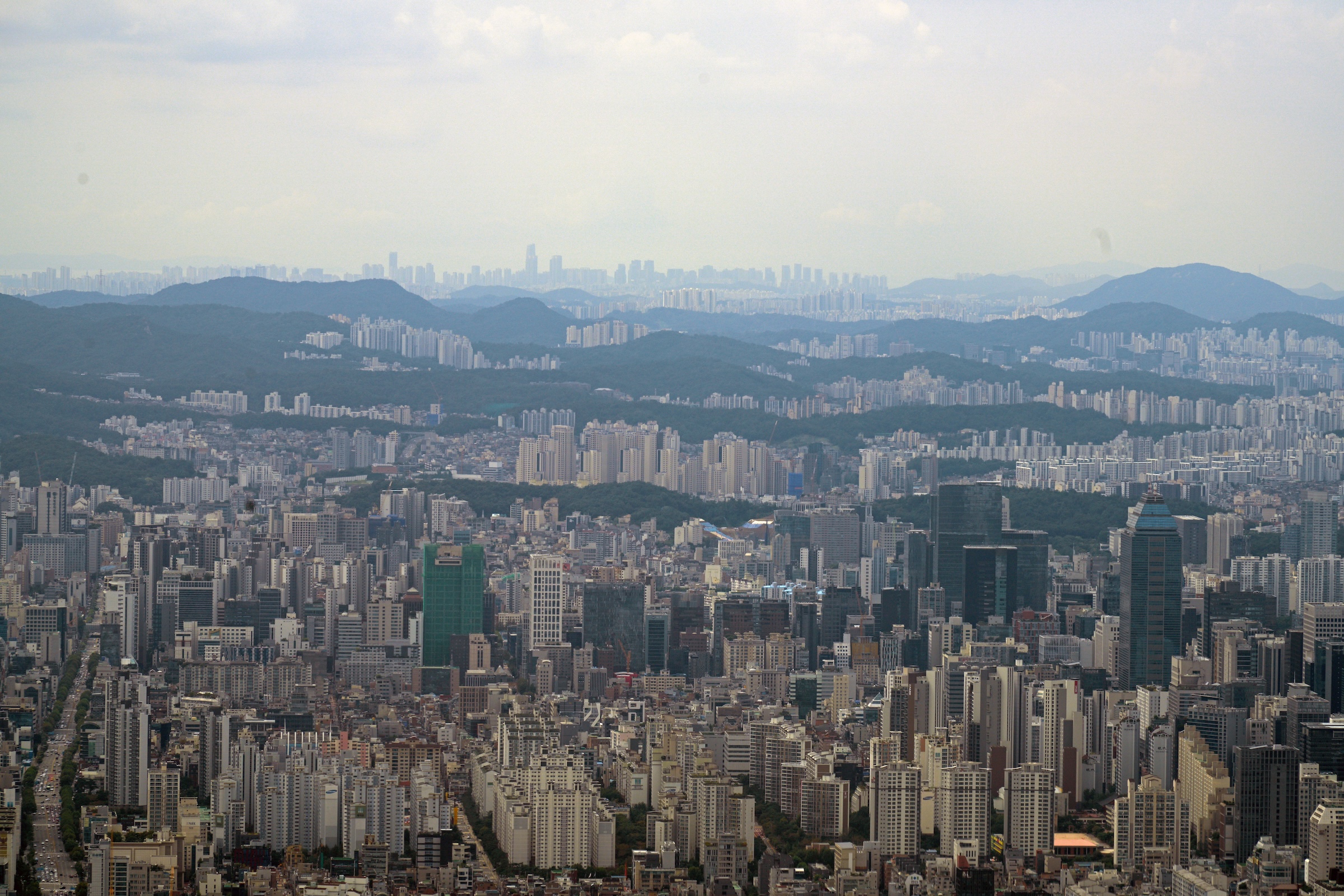
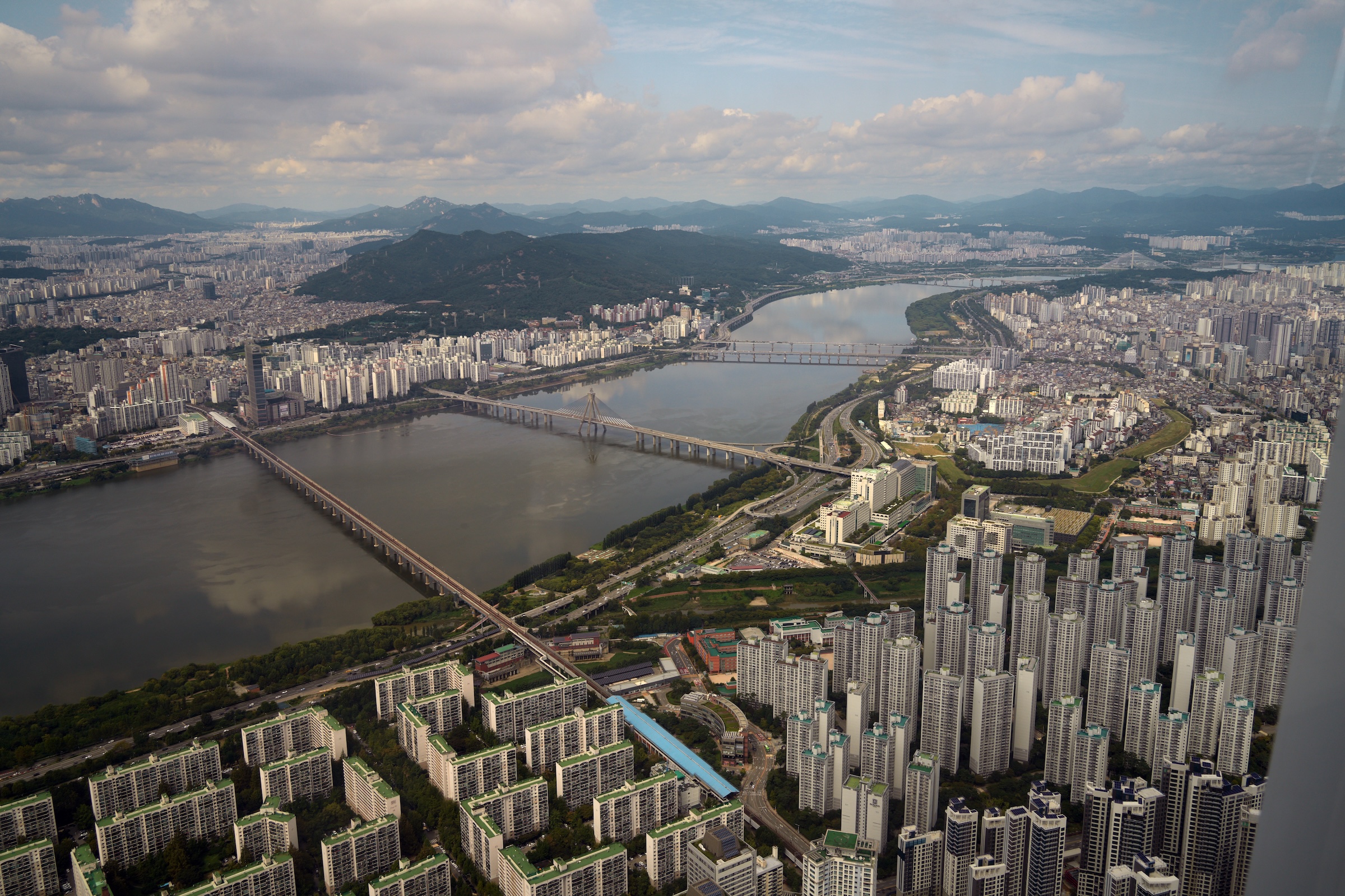
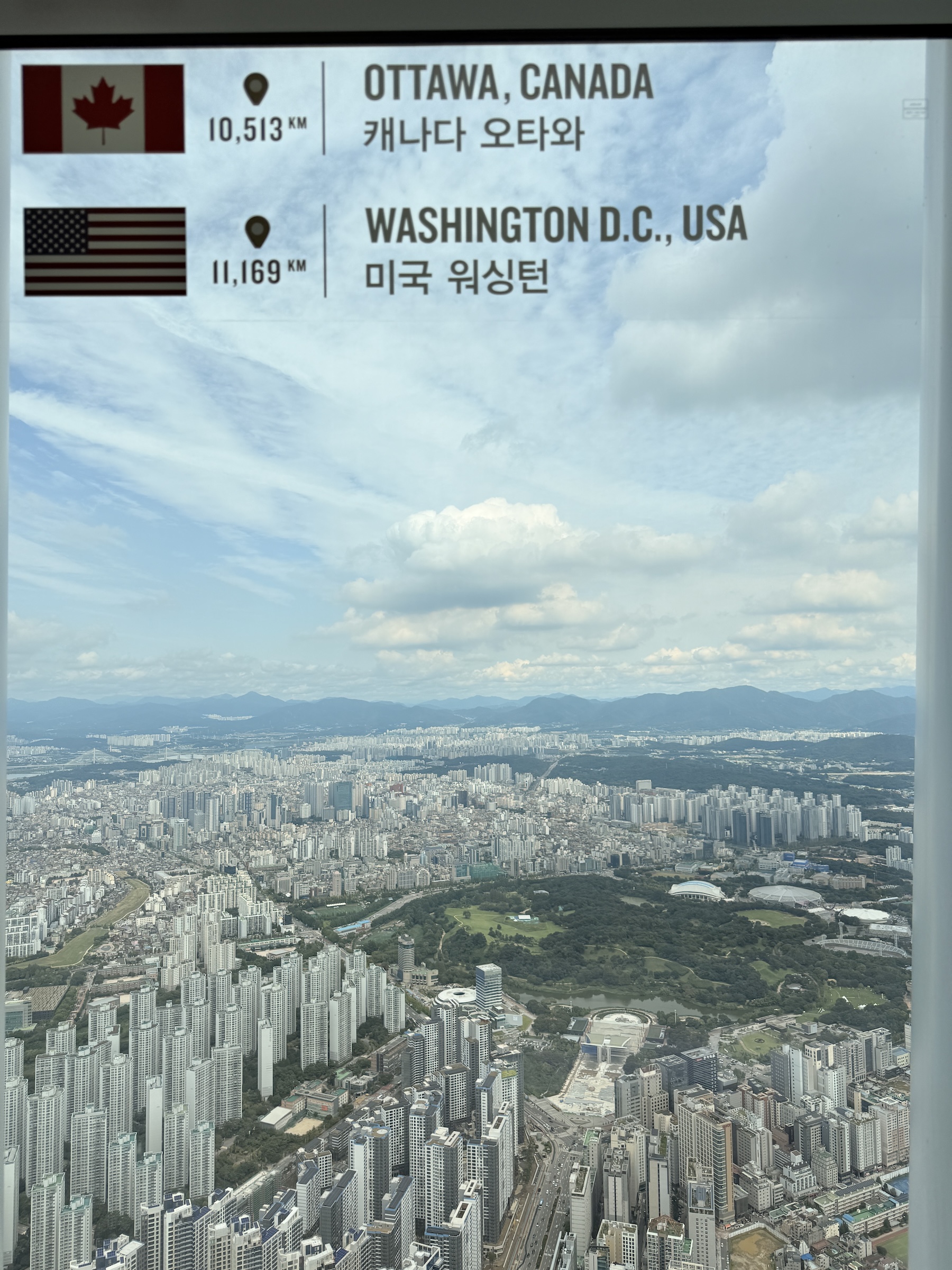
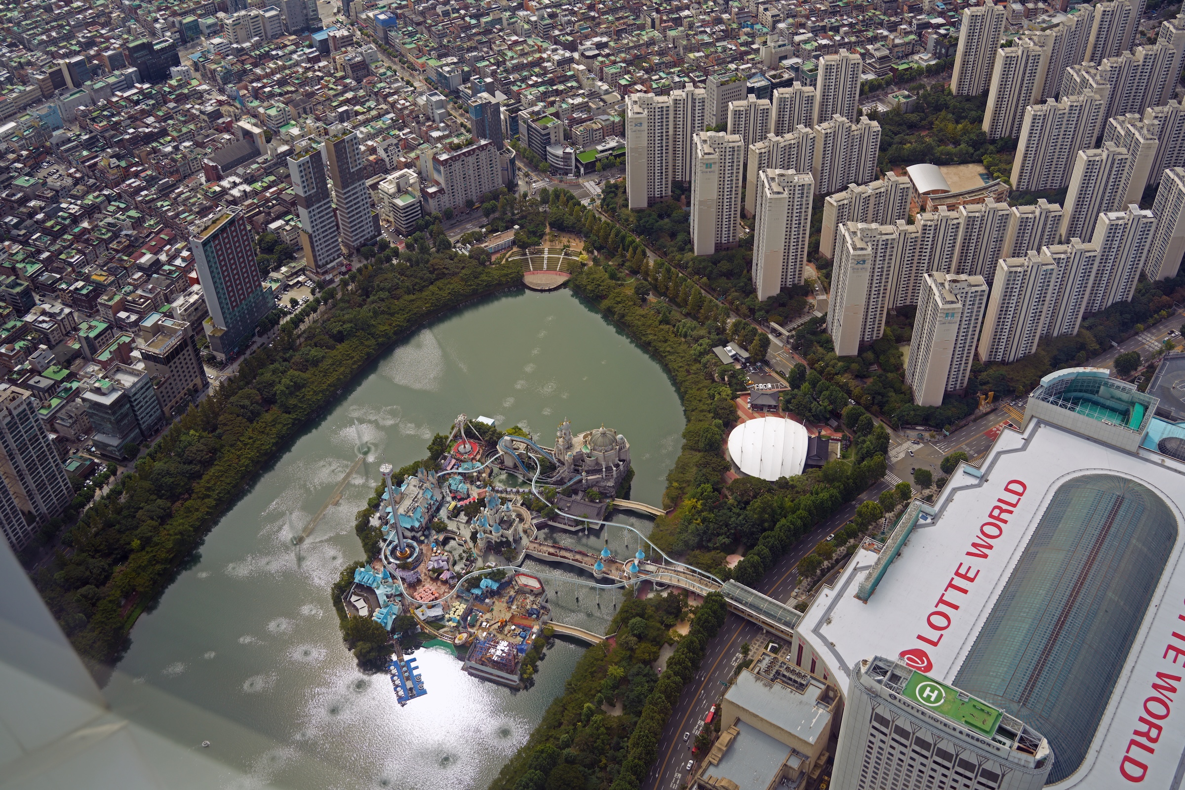
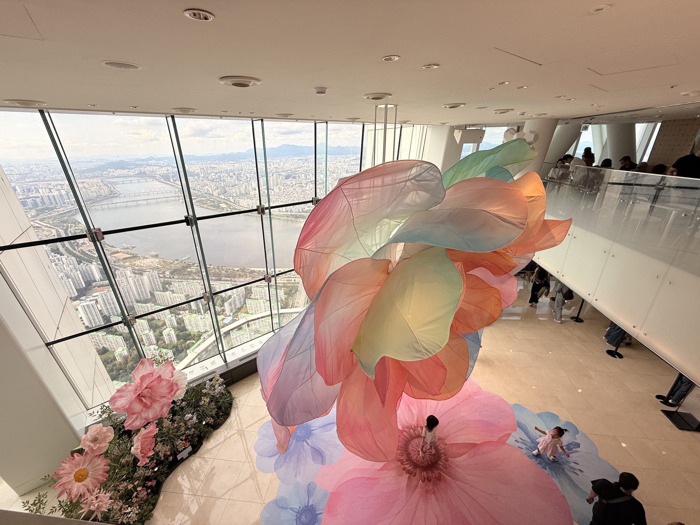
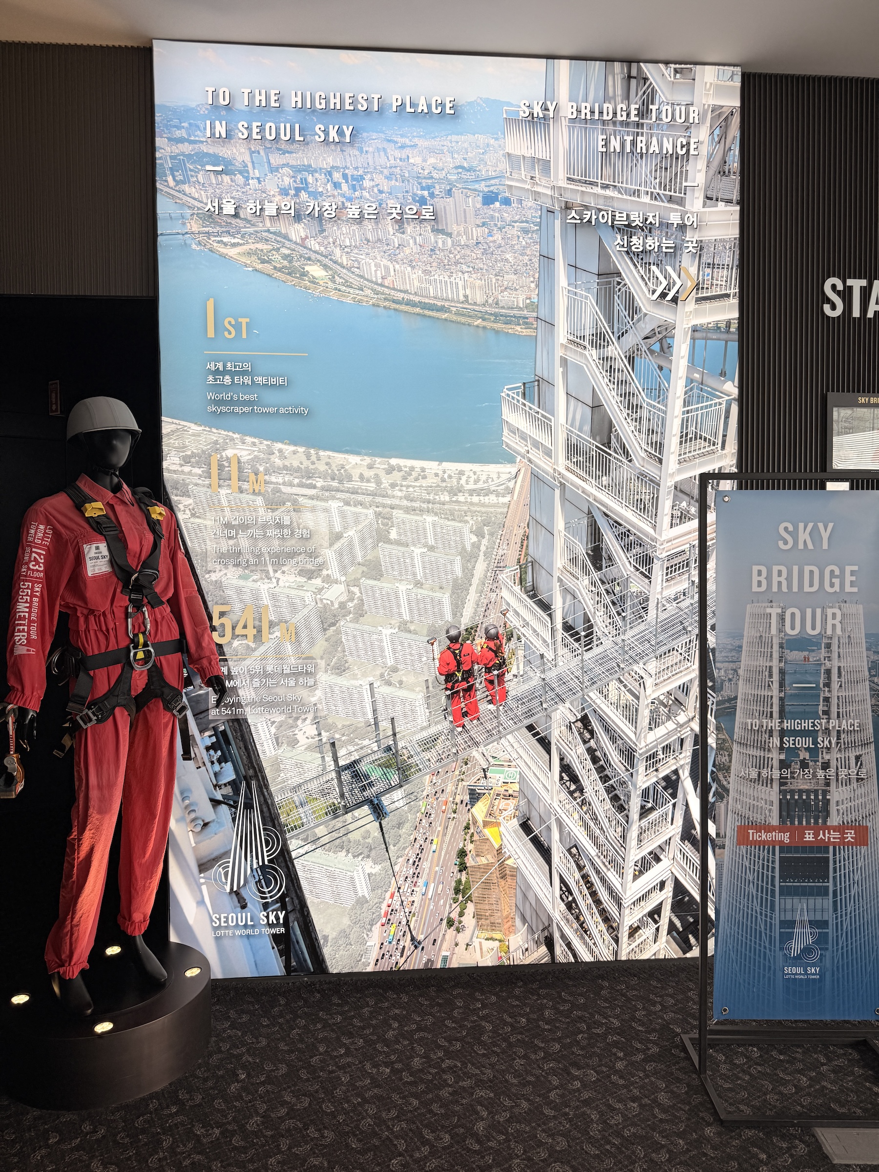
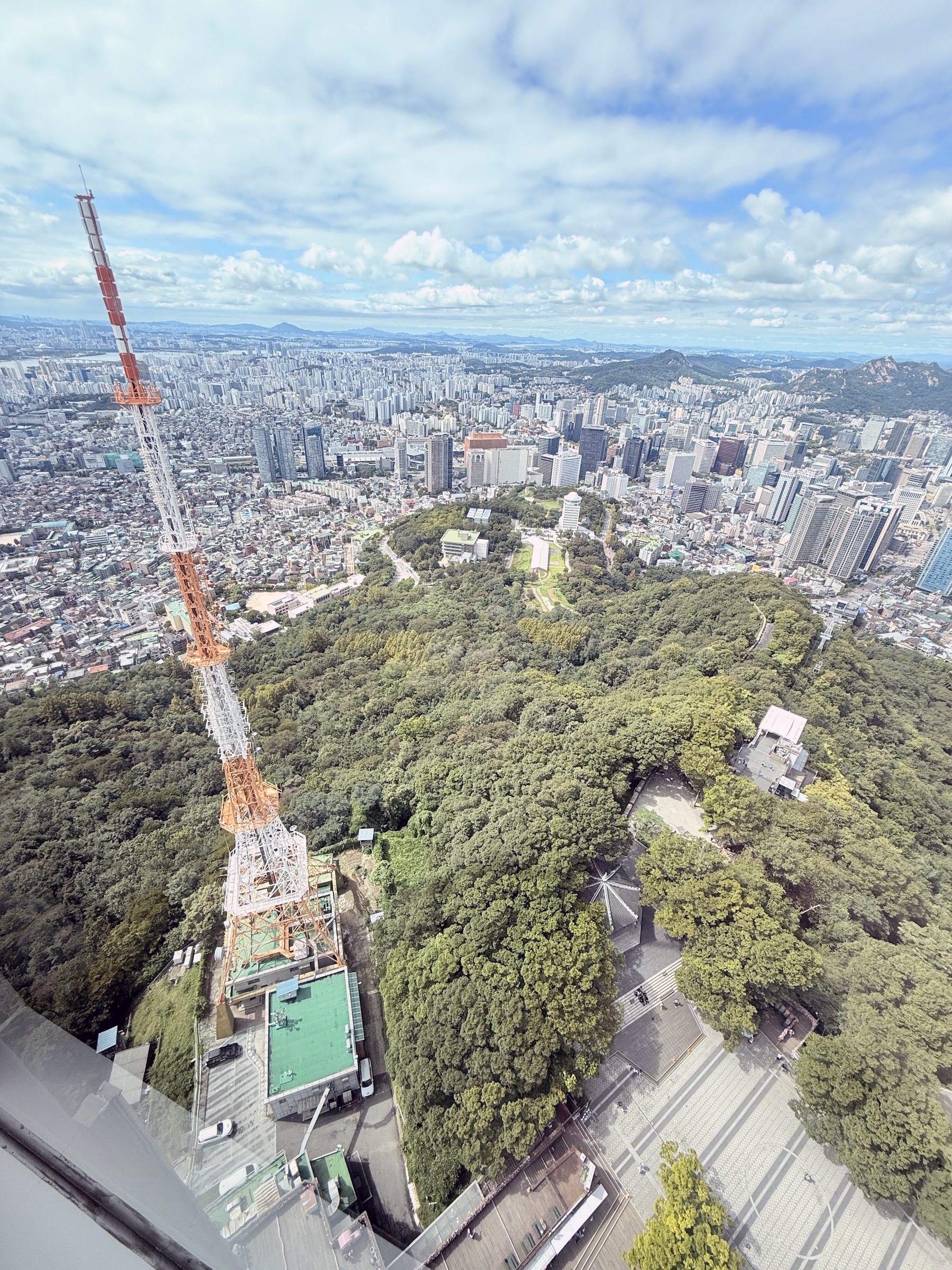
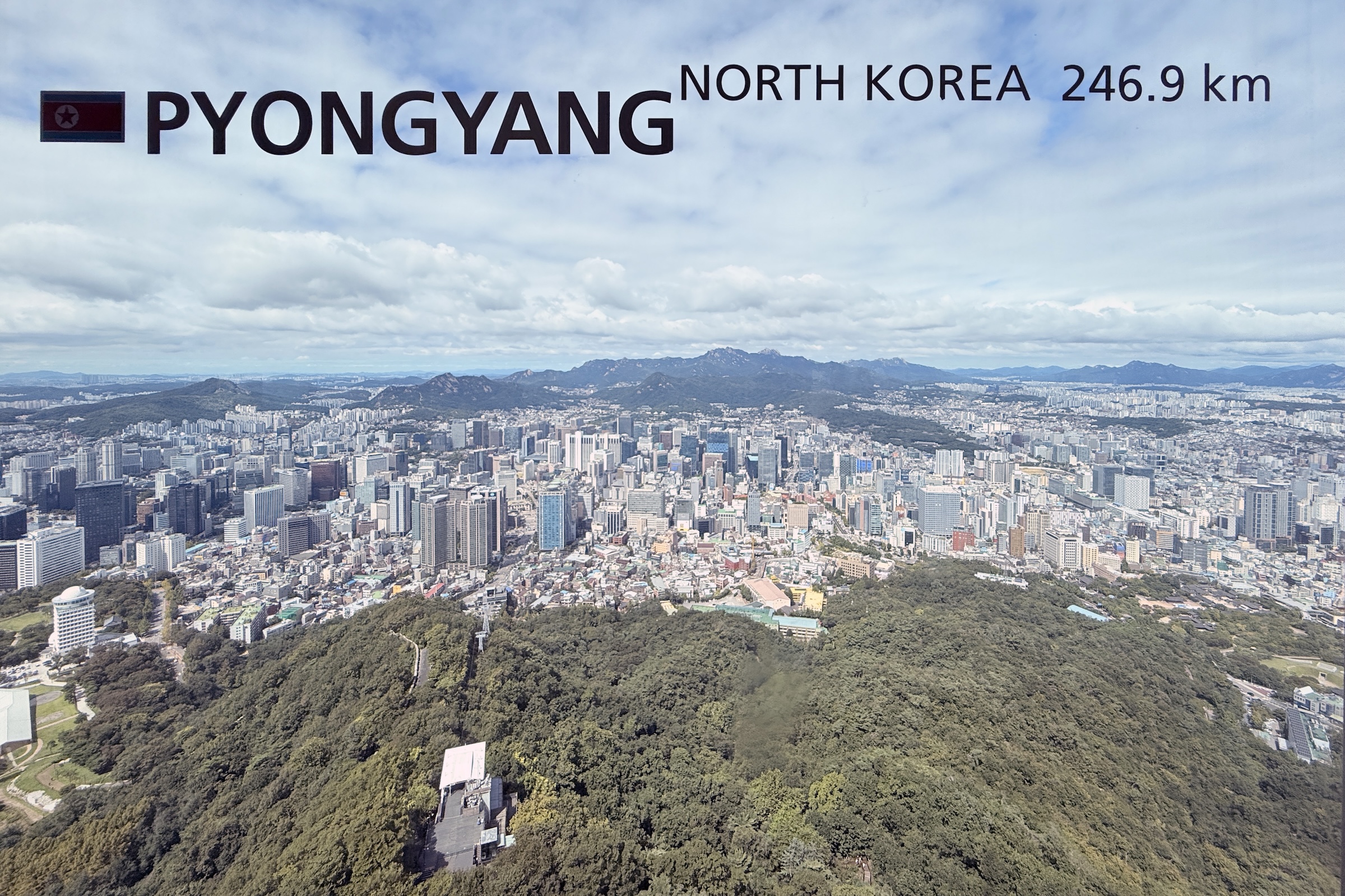
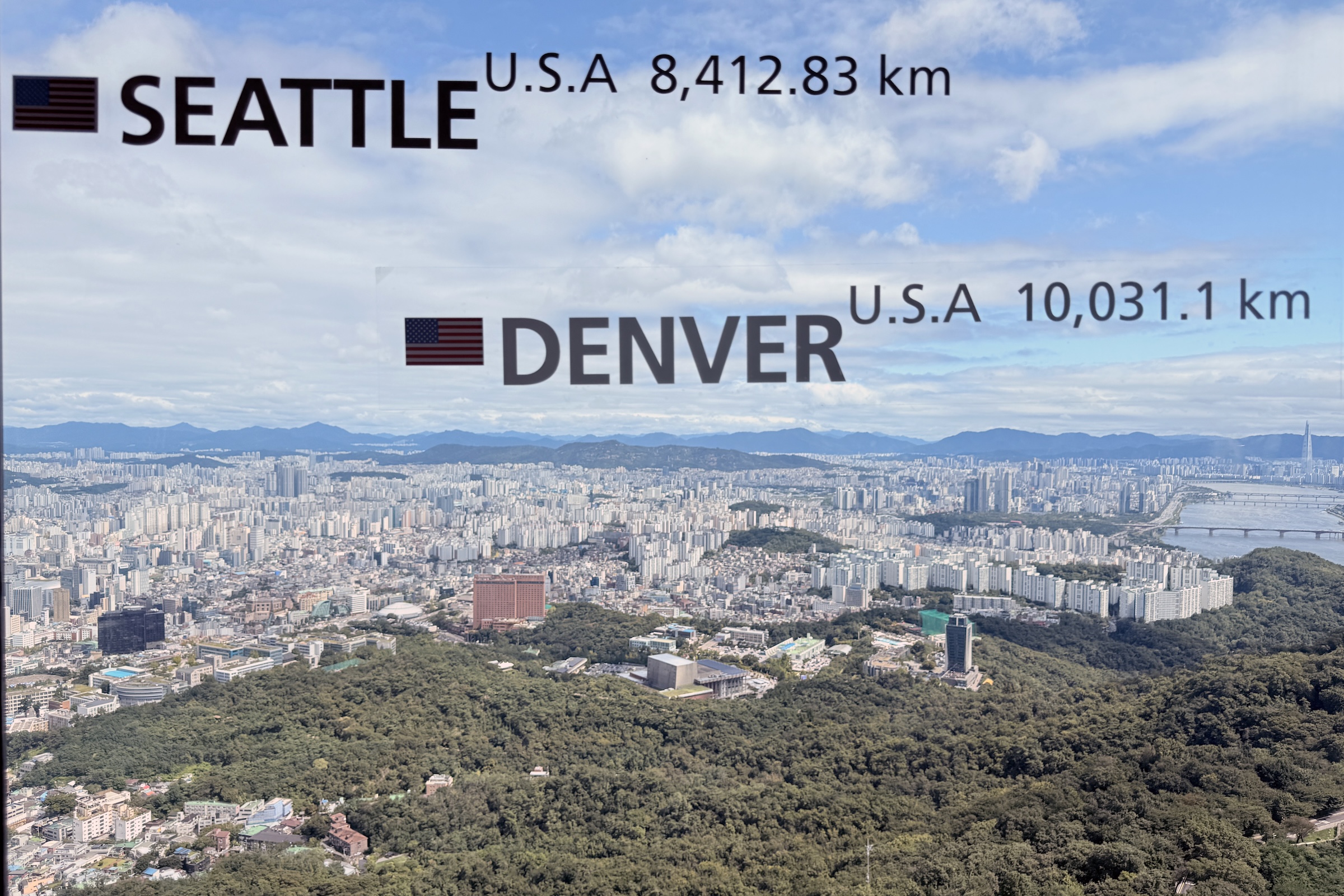
I could not very well go up Seoul Tower, and leave Lotto World Tower out, right?
So off I went today to Lotto World Tower, even though it was a 40 minute train ride out there.
There is an express double-car elevator that whisks the humans inside up to the 117th floor* in one minute flat. I felt a little vertigo, and my ears popped on the way up. There no view to the outside, just display screens on the sides and ceiling of the car.
*The Seoul Sky observation deck in the Lotte World Tower spans seven floors, from floors 117 to 123.
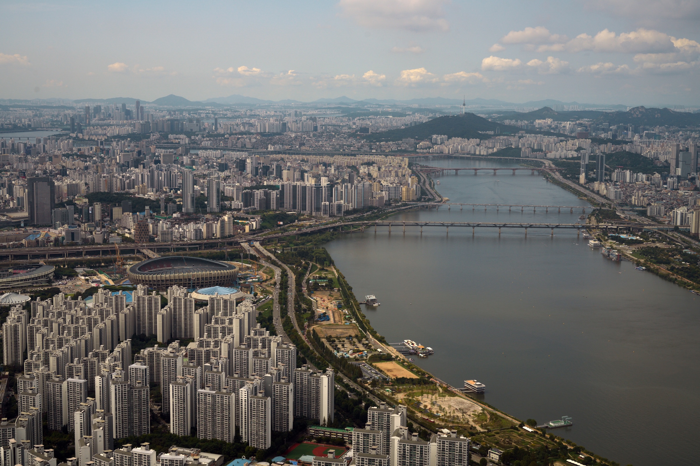
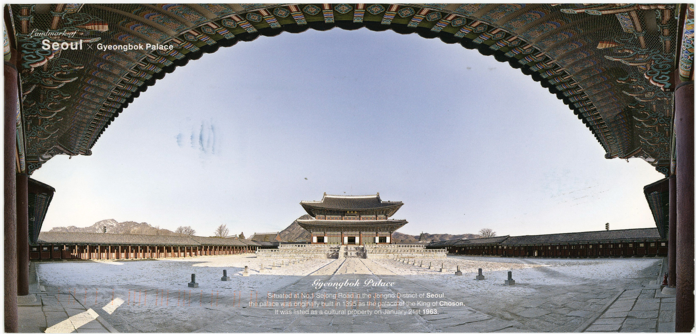
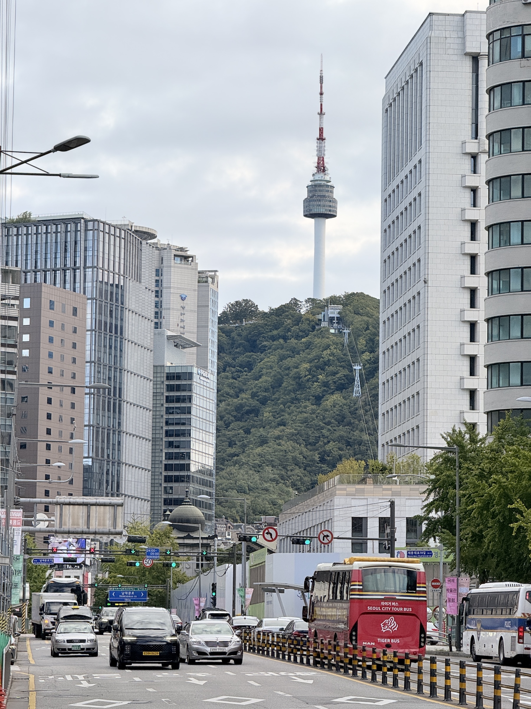
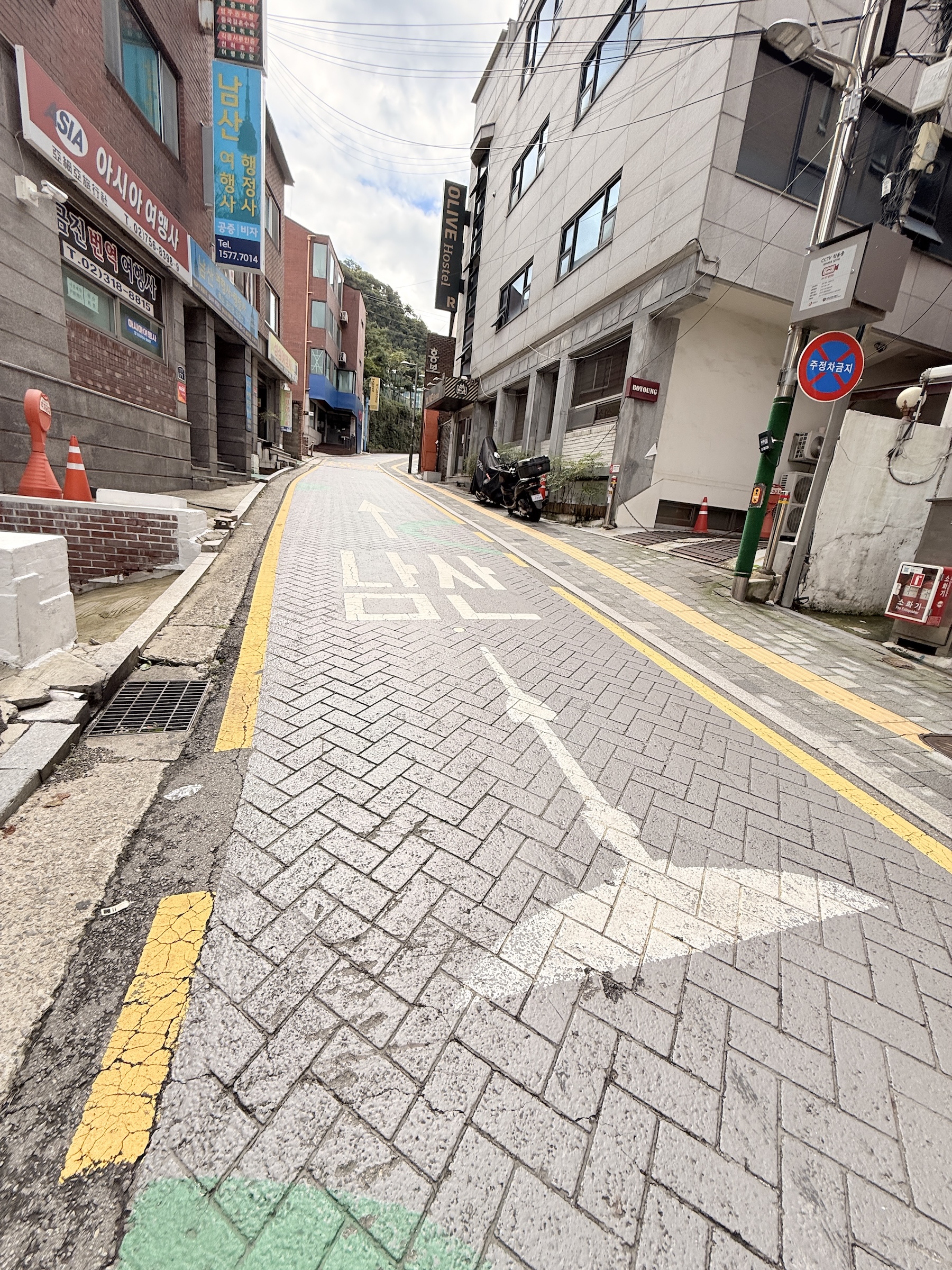
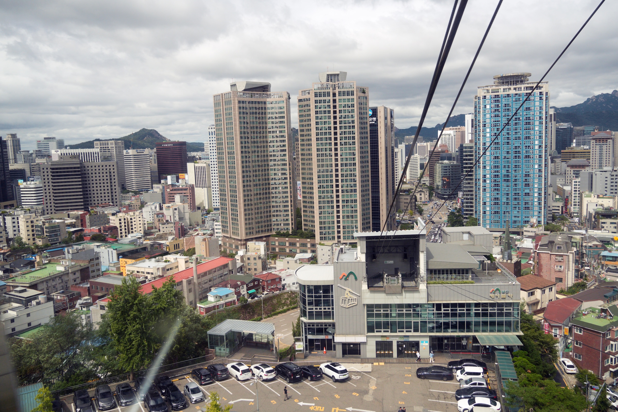
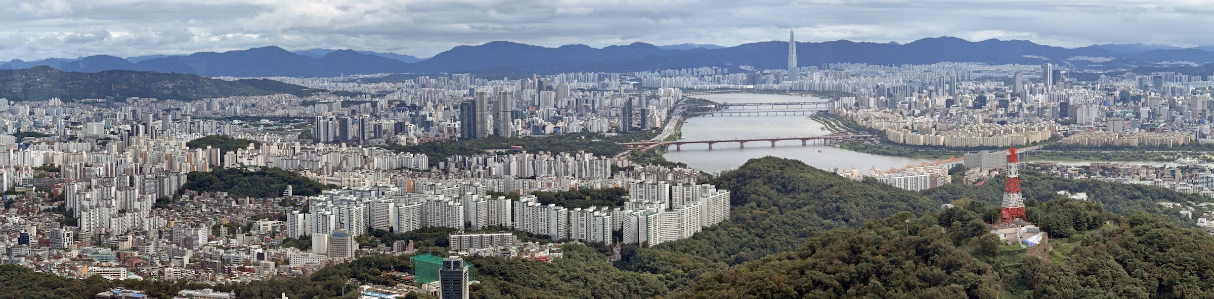
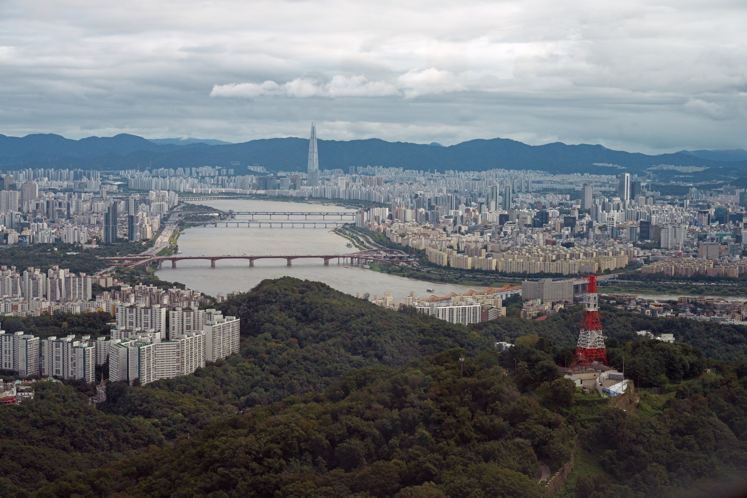
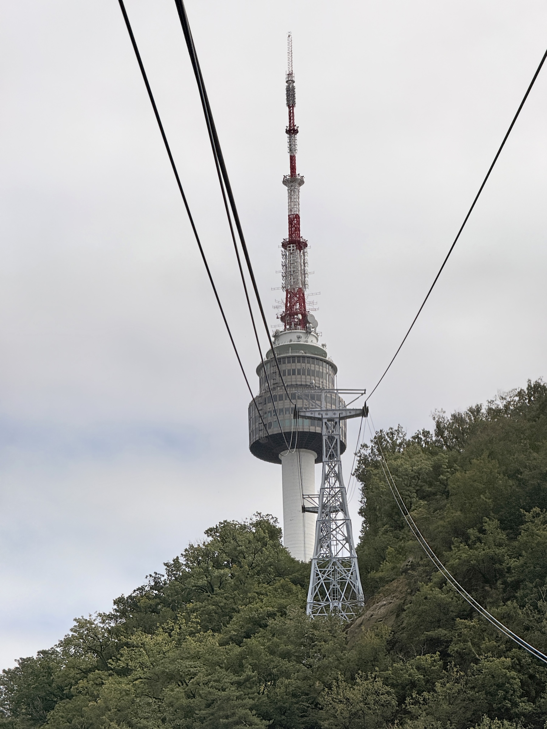
Seoul Tower is not far from my hotel.
I opted for the cable car to get me to the summit.
A parking lot at the summit can also be reached by bus or by car— or even by walking up all the way with a stairway called the Sam-soon Steps.
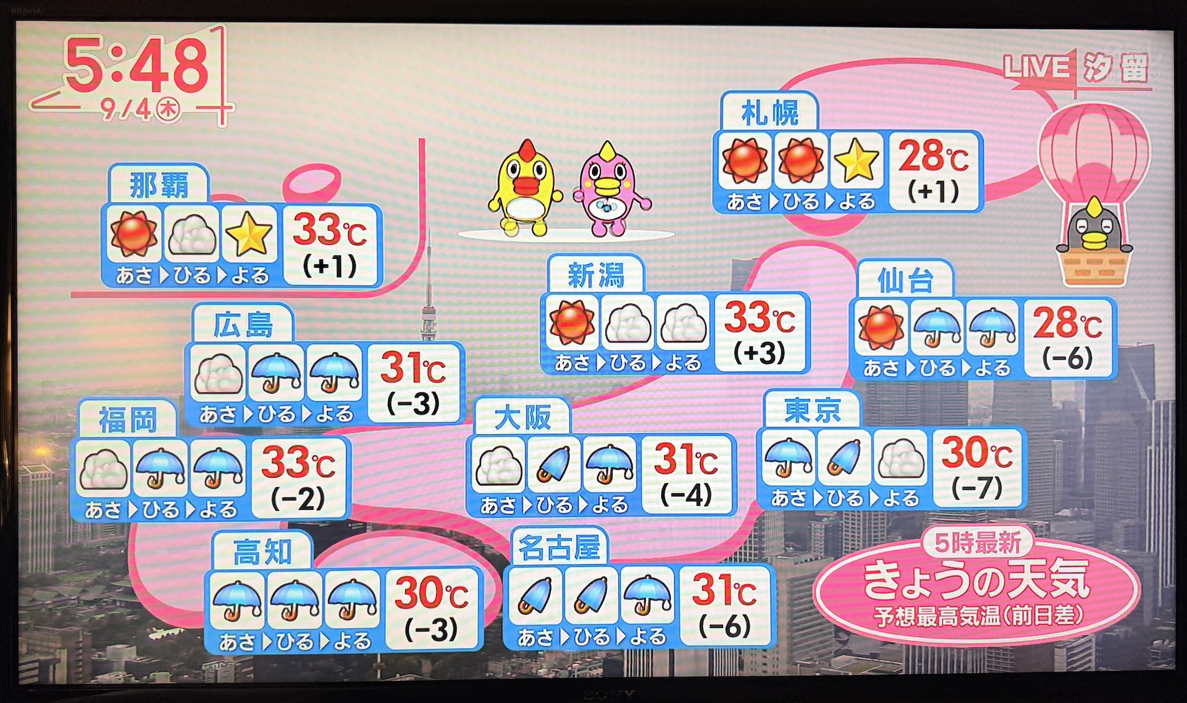
Happy Friday. (I know it has been an awful week for the national psyche in the United States).
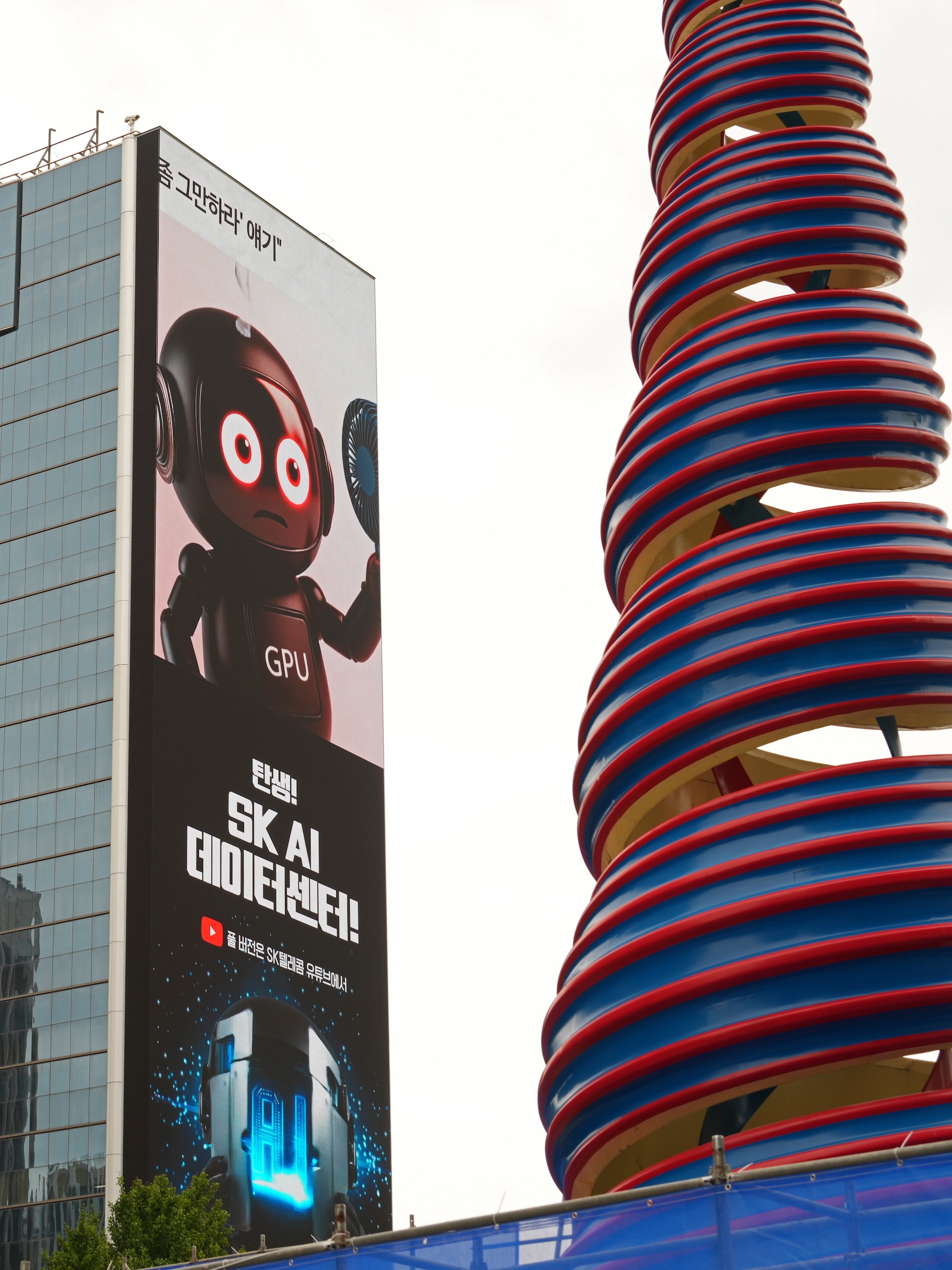
Here in the Far East, it was the first day with milder temperatures for me (a high of 28°C/ 83°F in Seoul today).
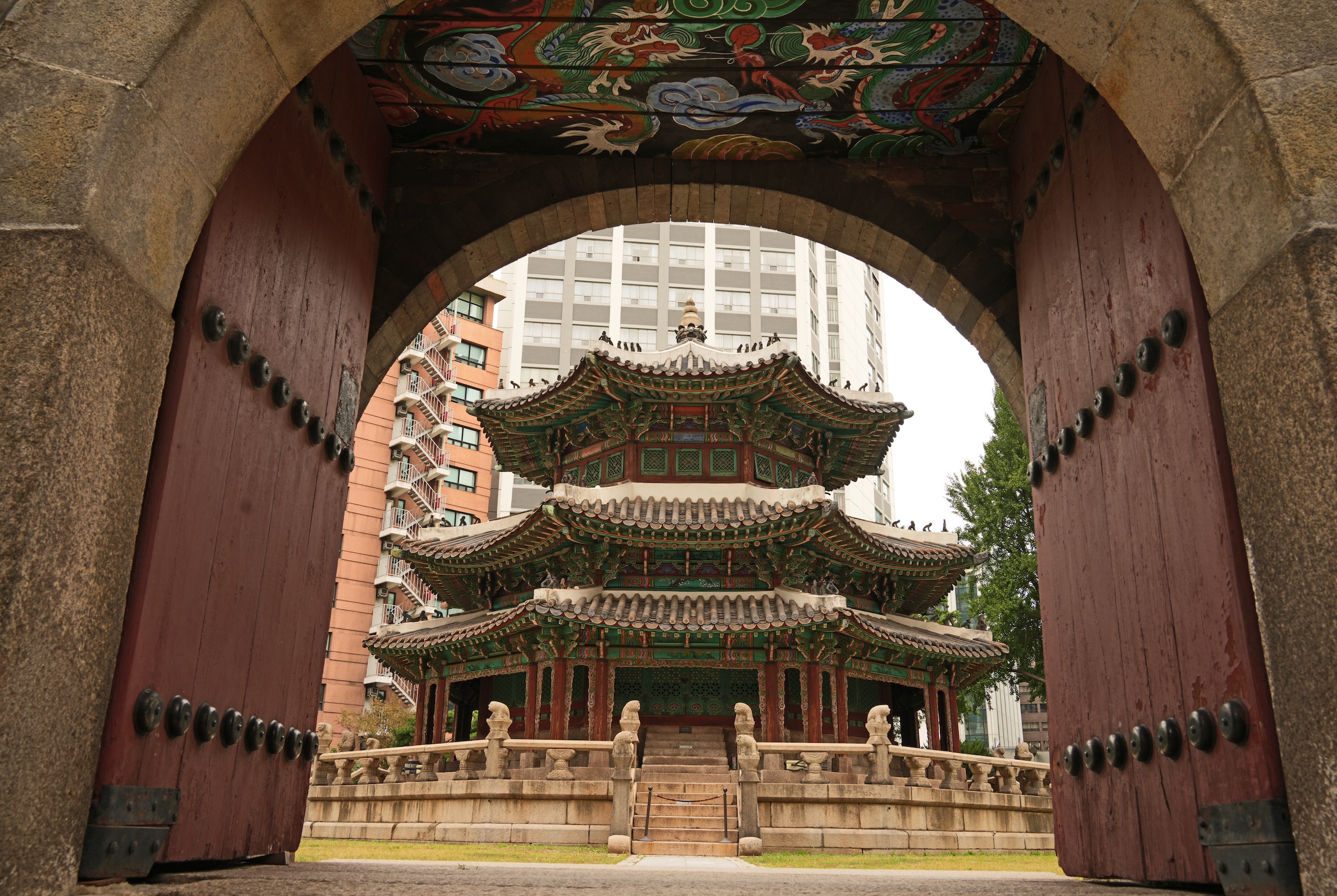
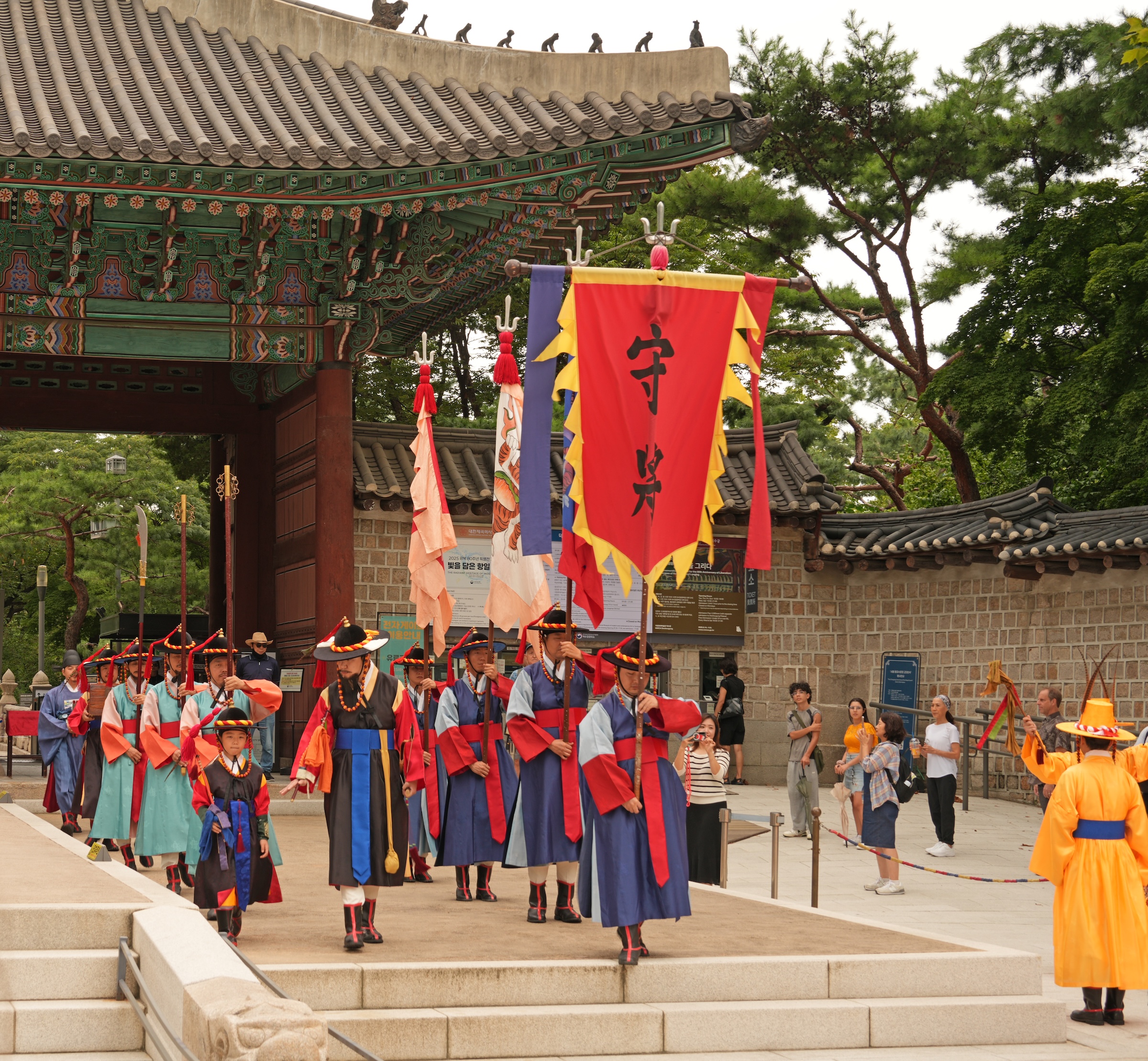
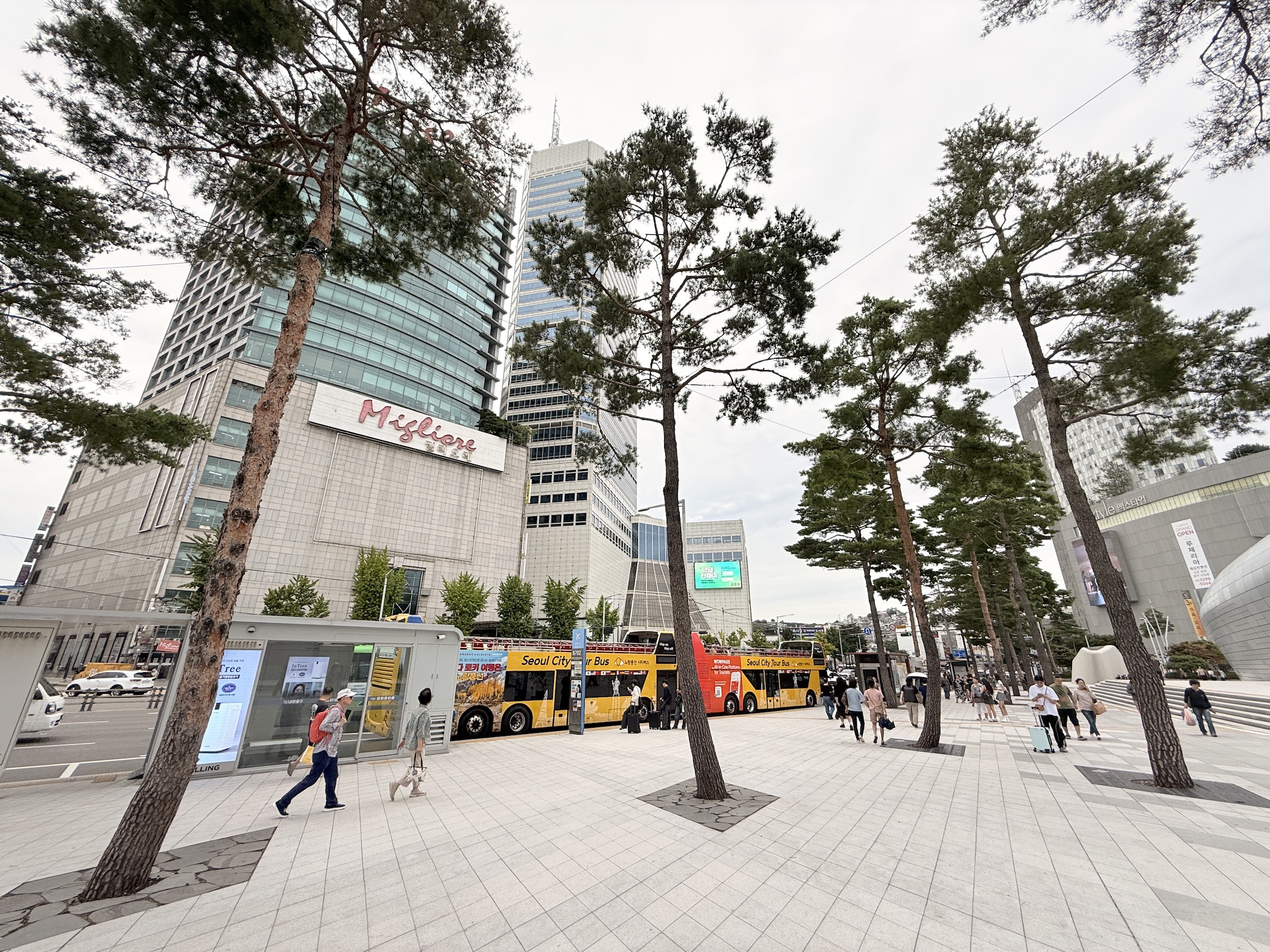
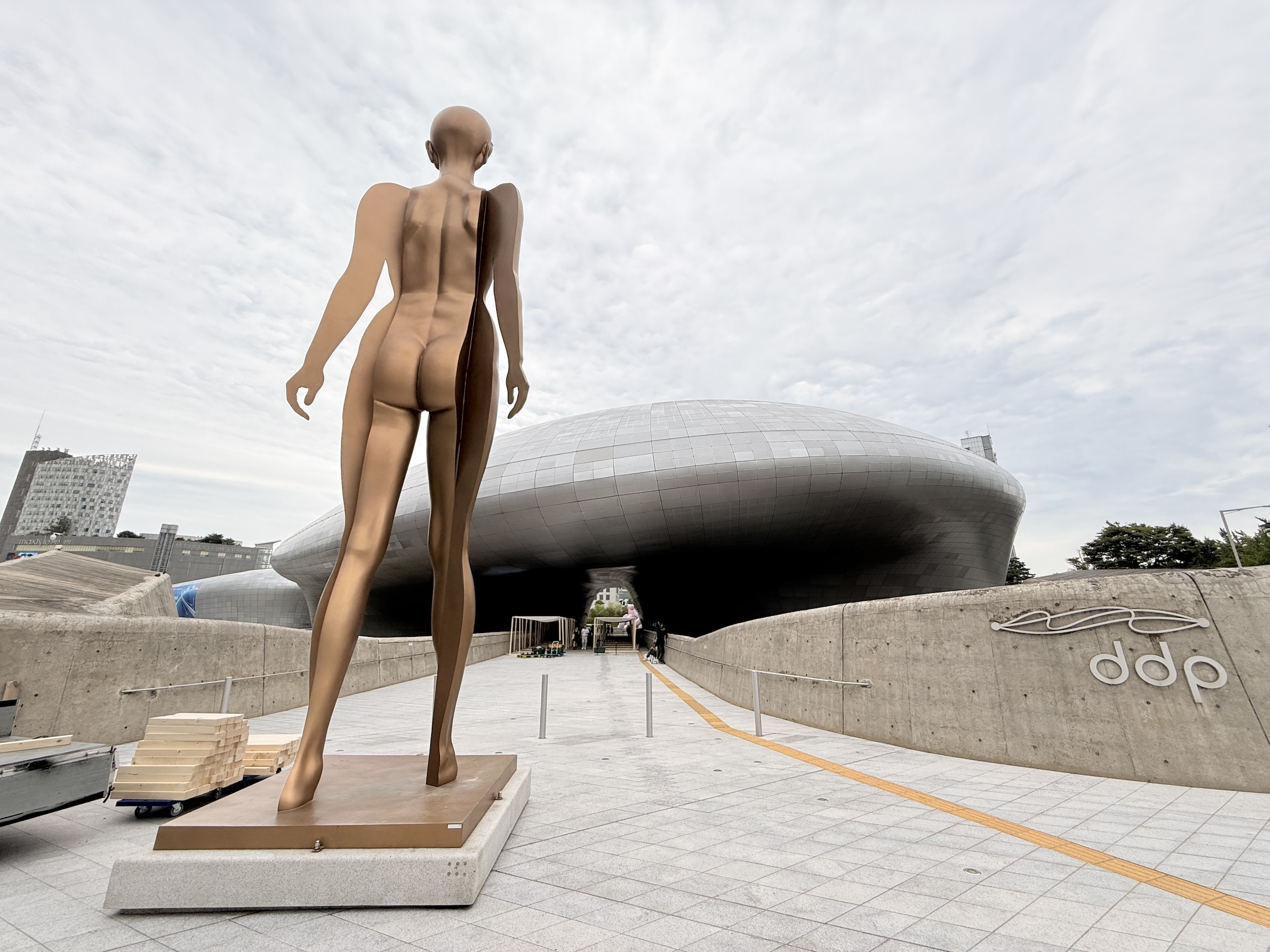
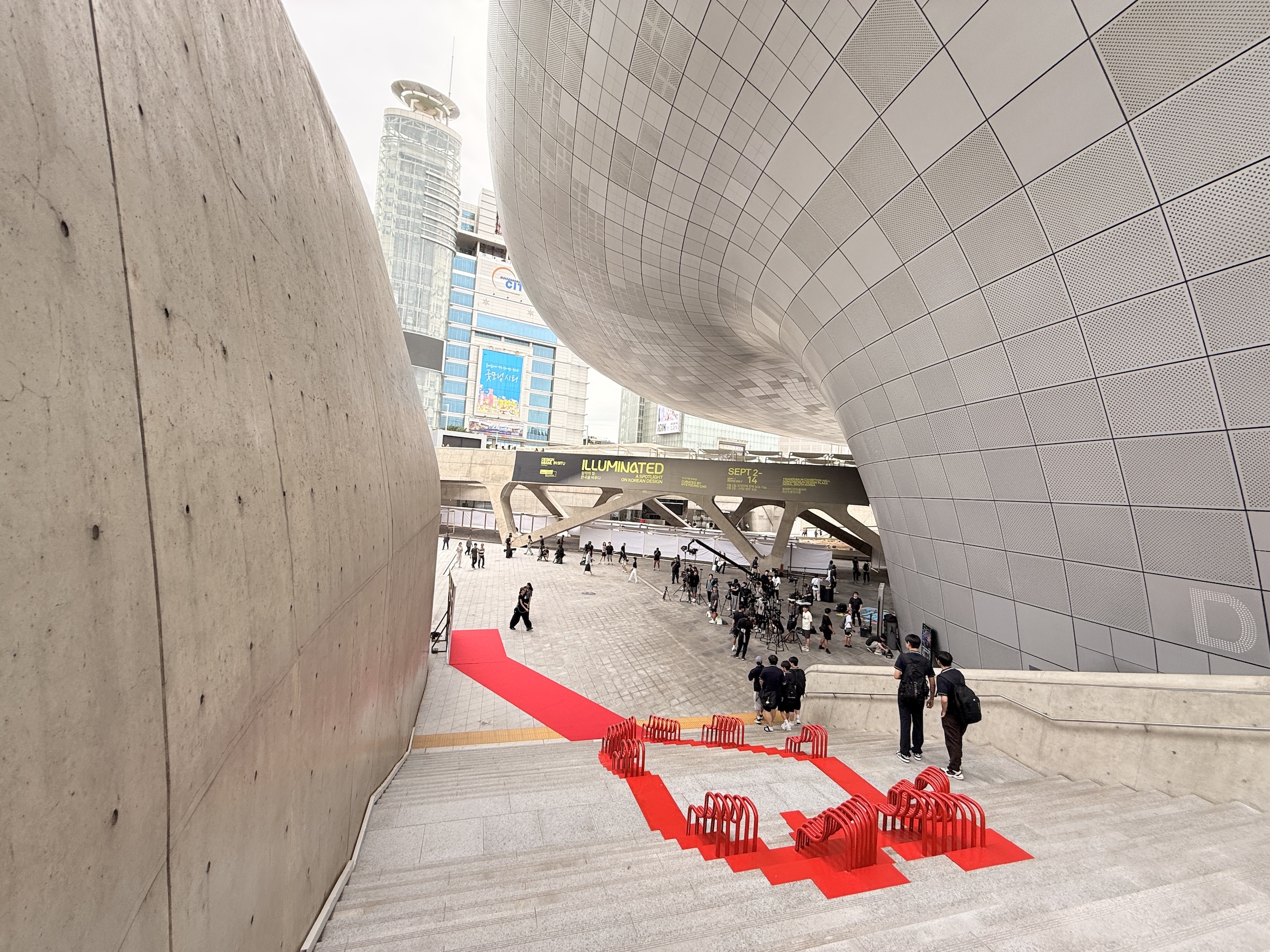
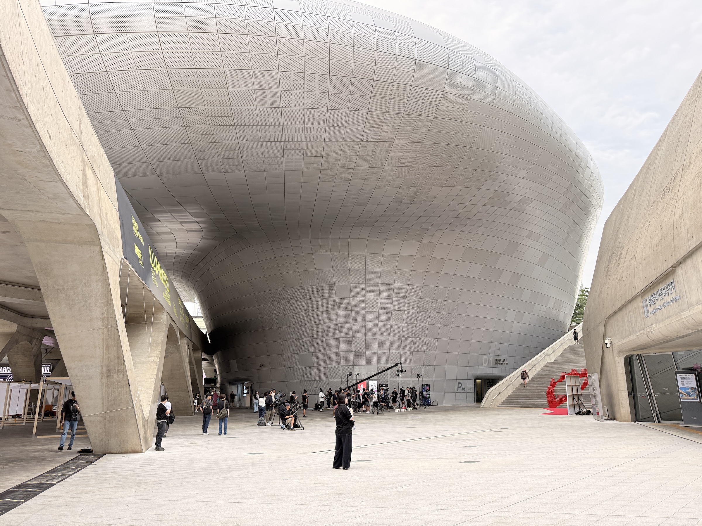
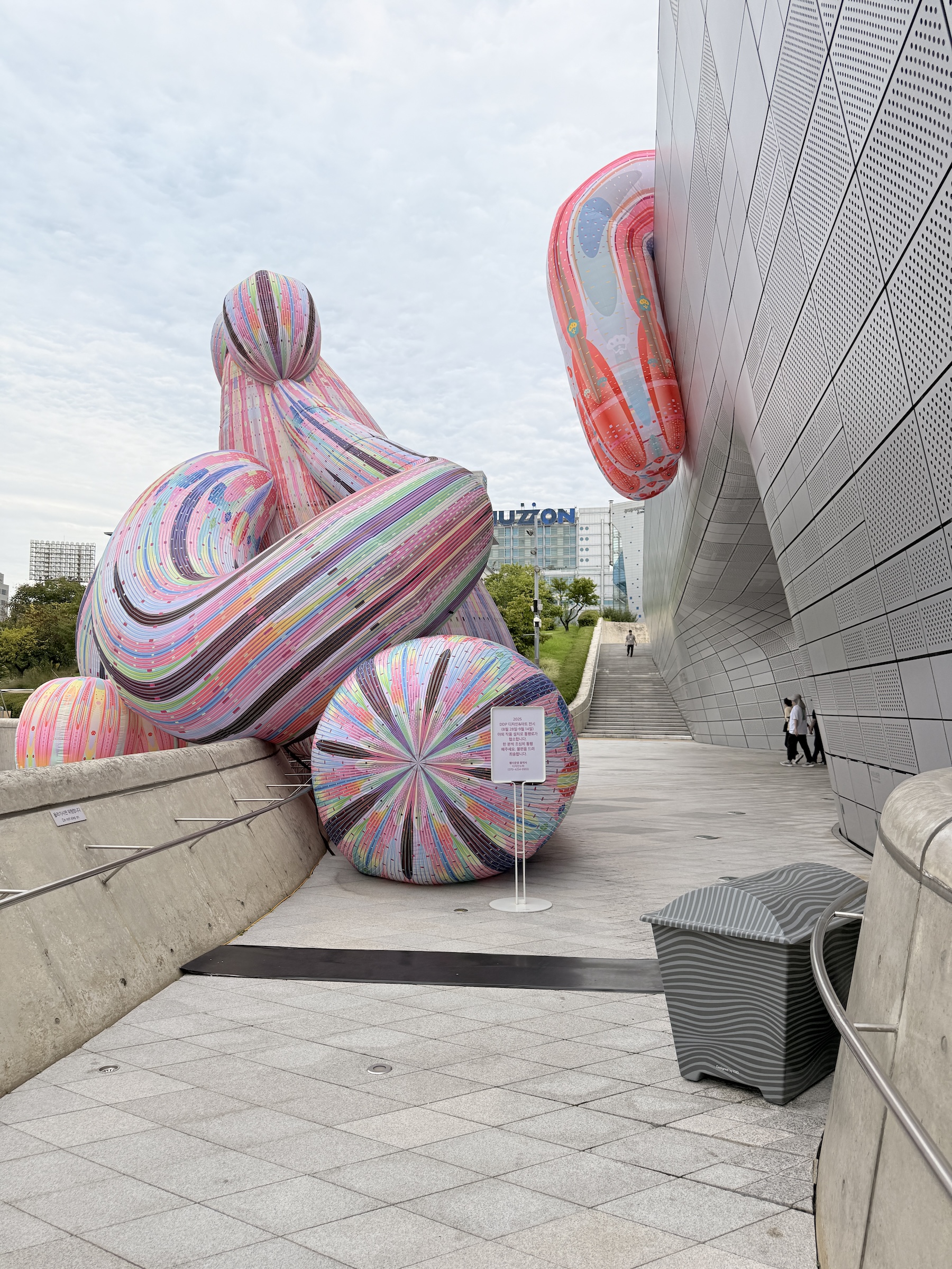
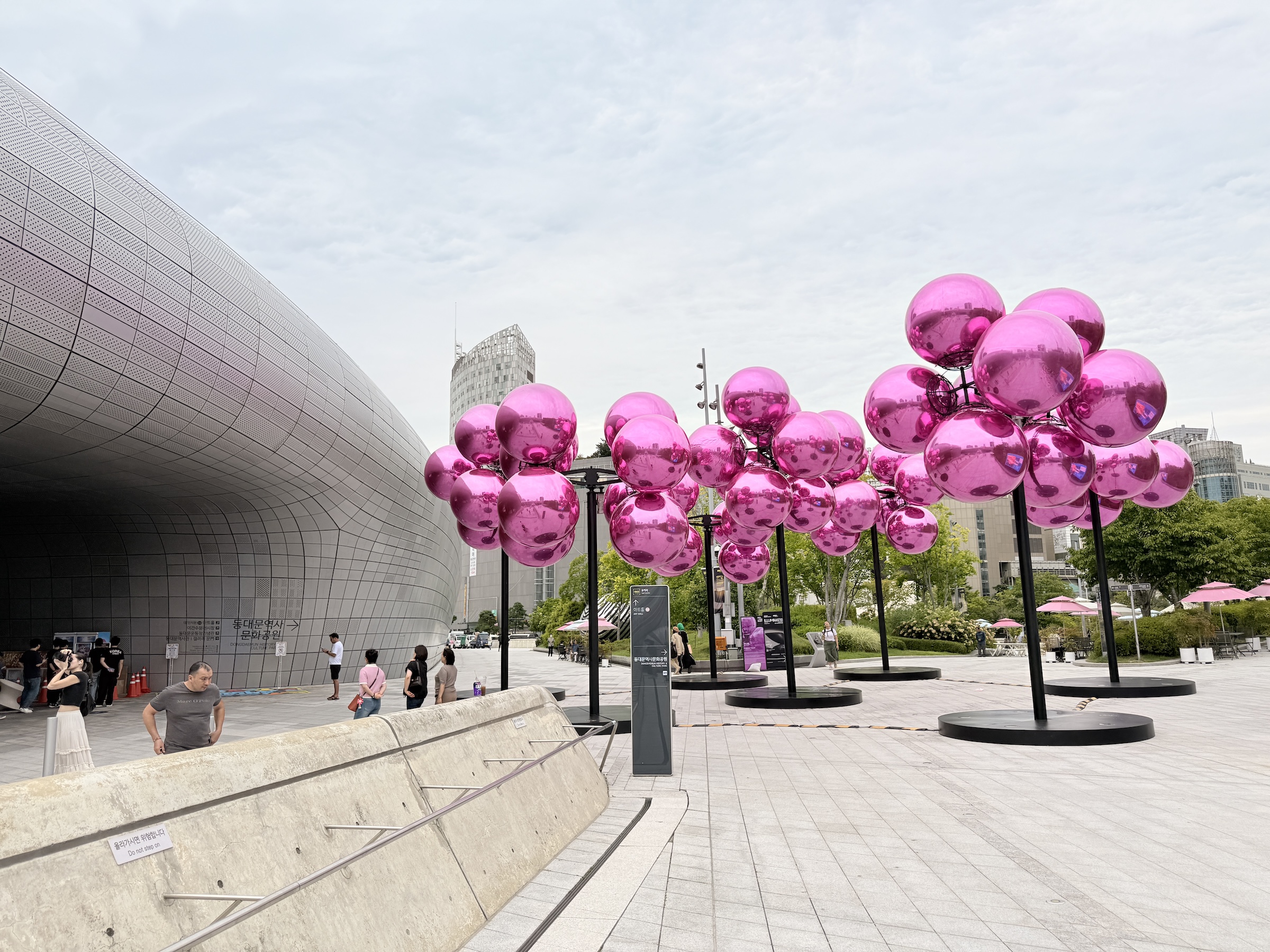
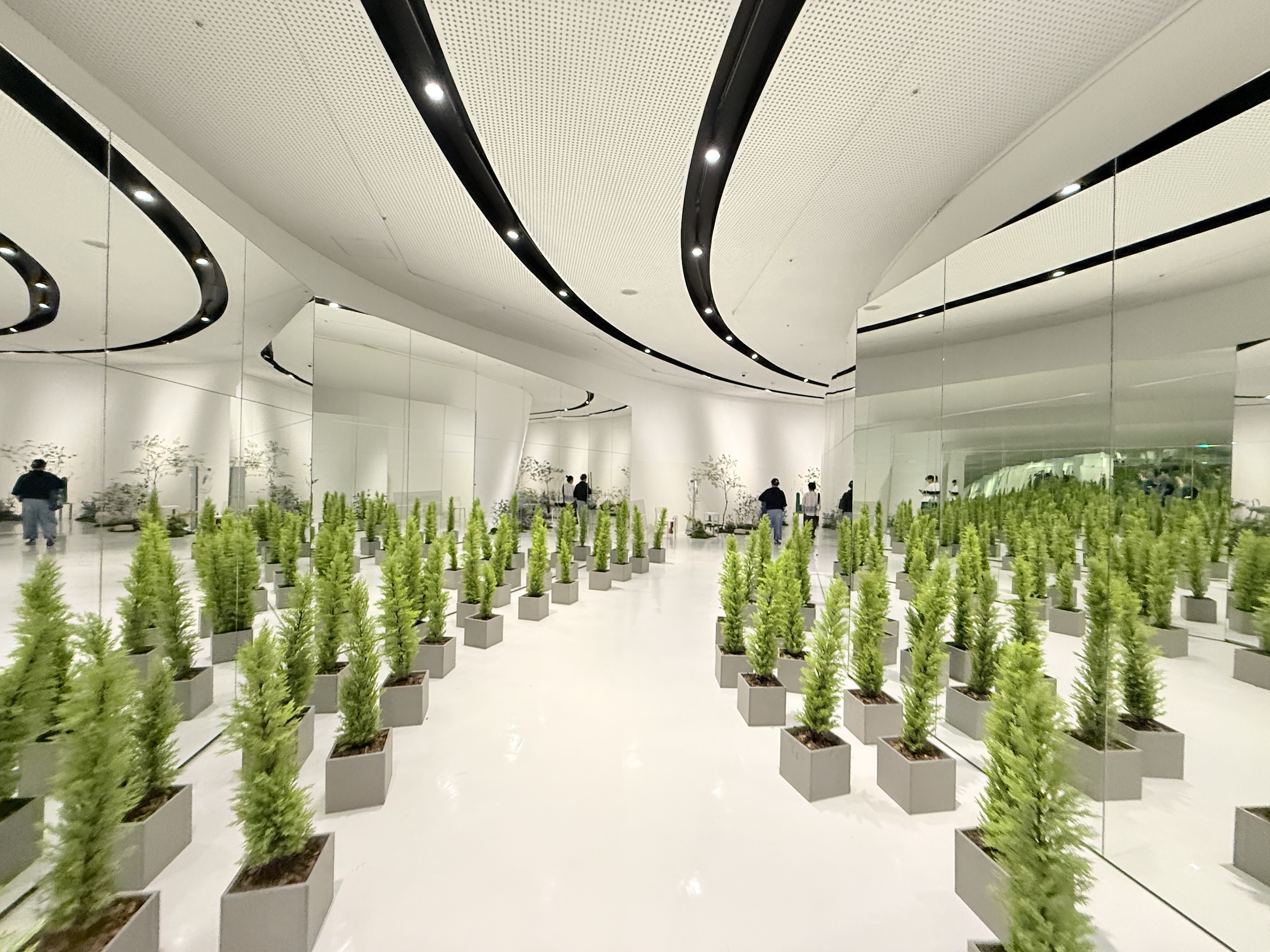
I walked around the hotel here by Seoul’s City Hall for a bit this morning, and then went out to Dongdaemun Design Plaza (DDP) with the No 2 subway line.
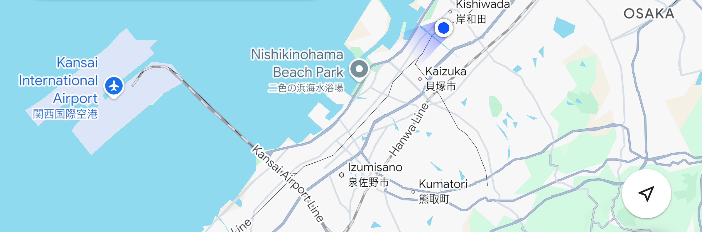
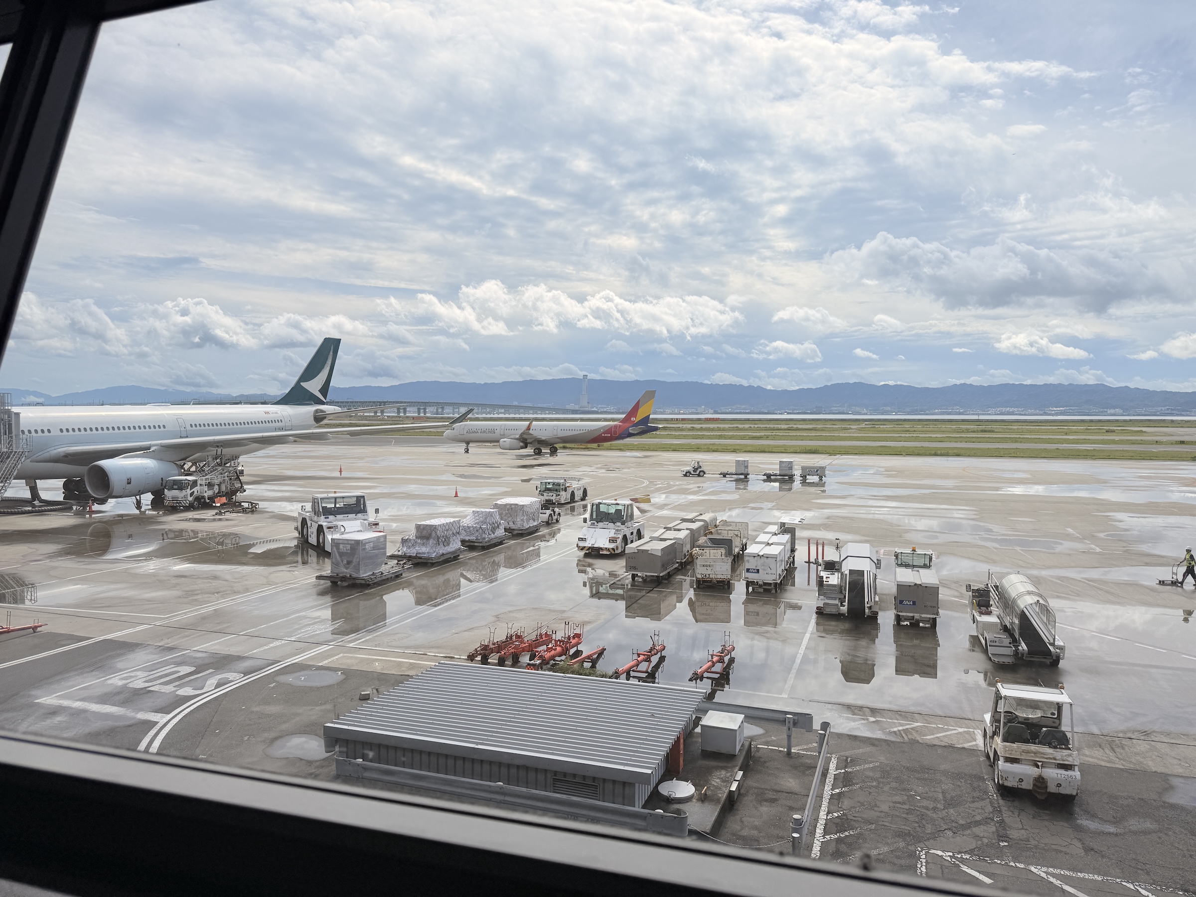
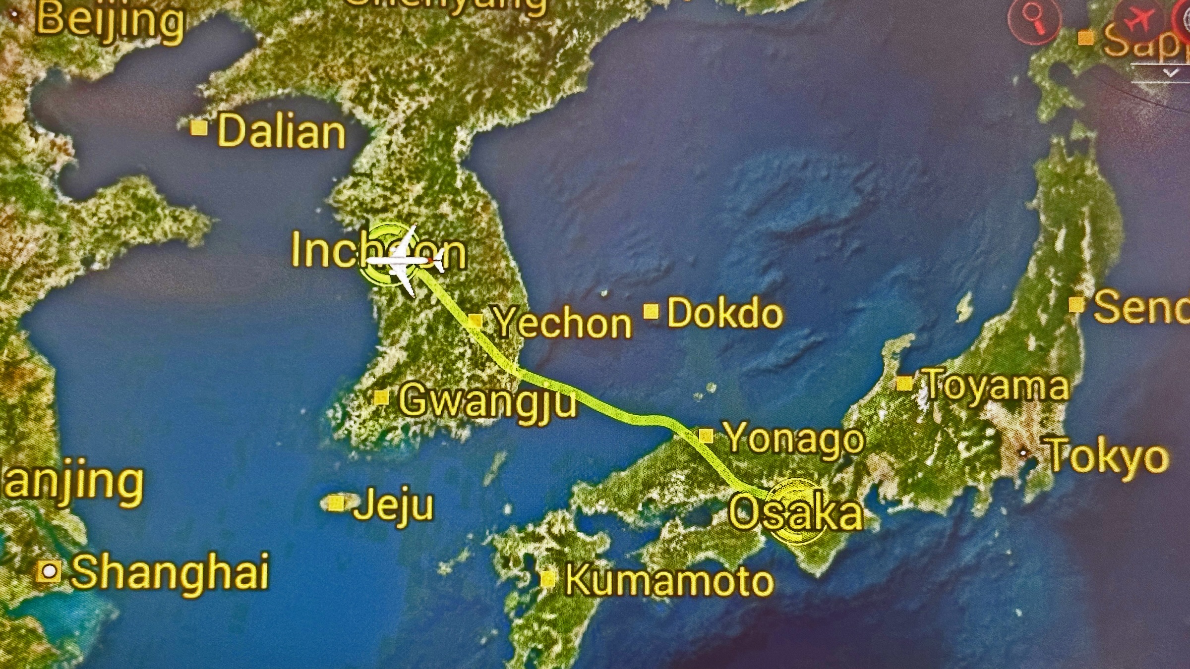
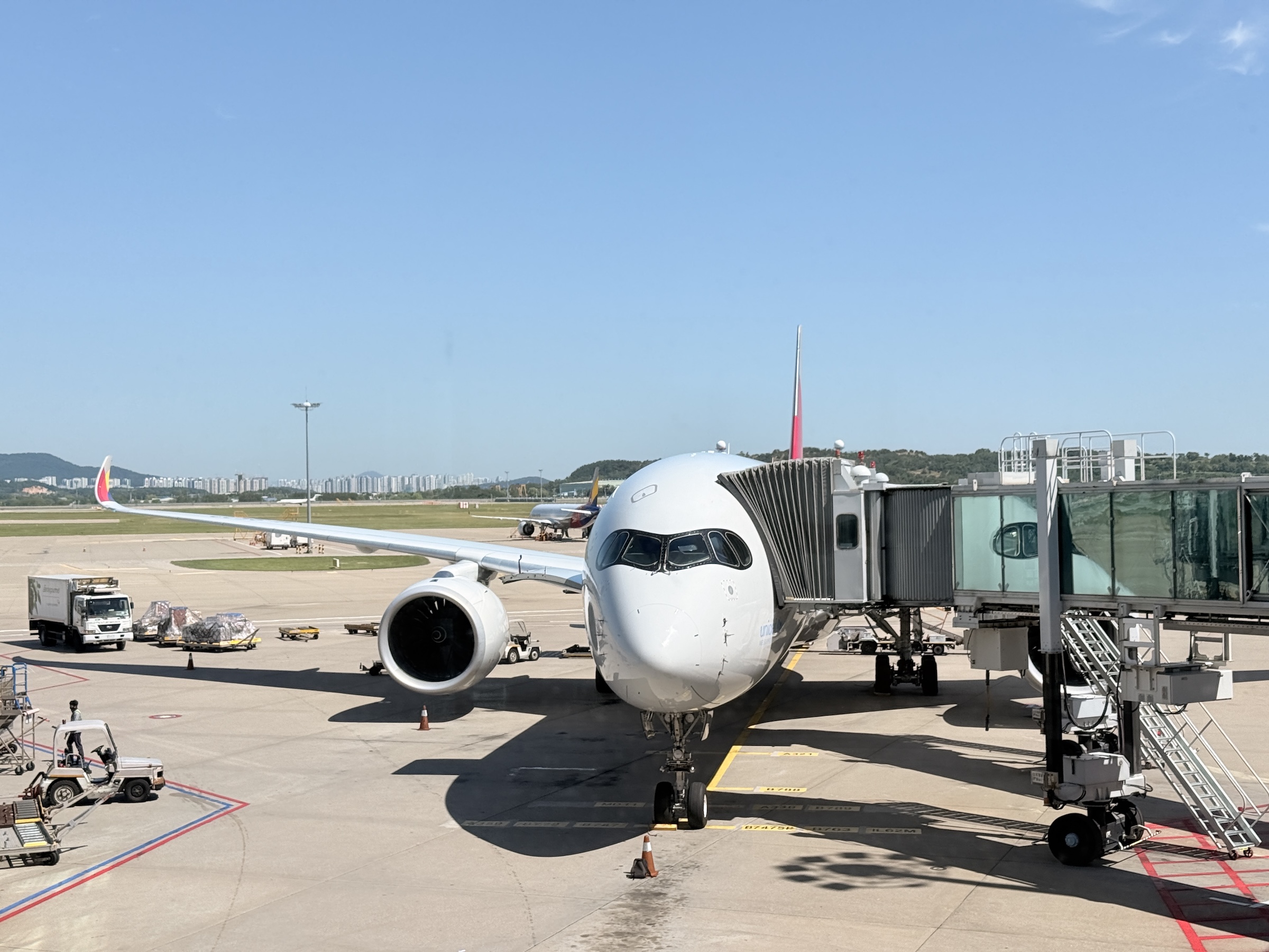
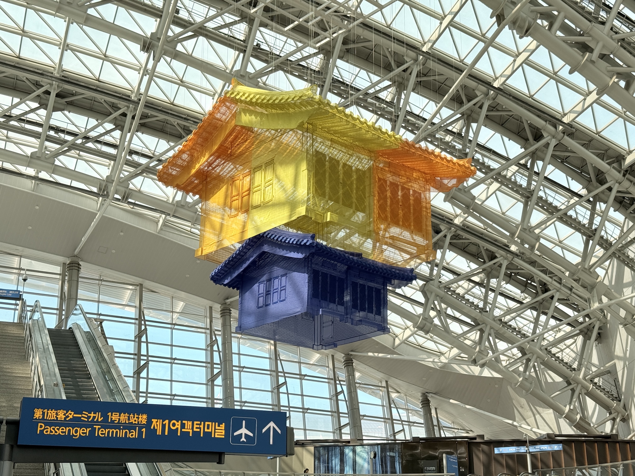
As it happens, both the departure and arrival airports for my flight today are located on man-made islands.
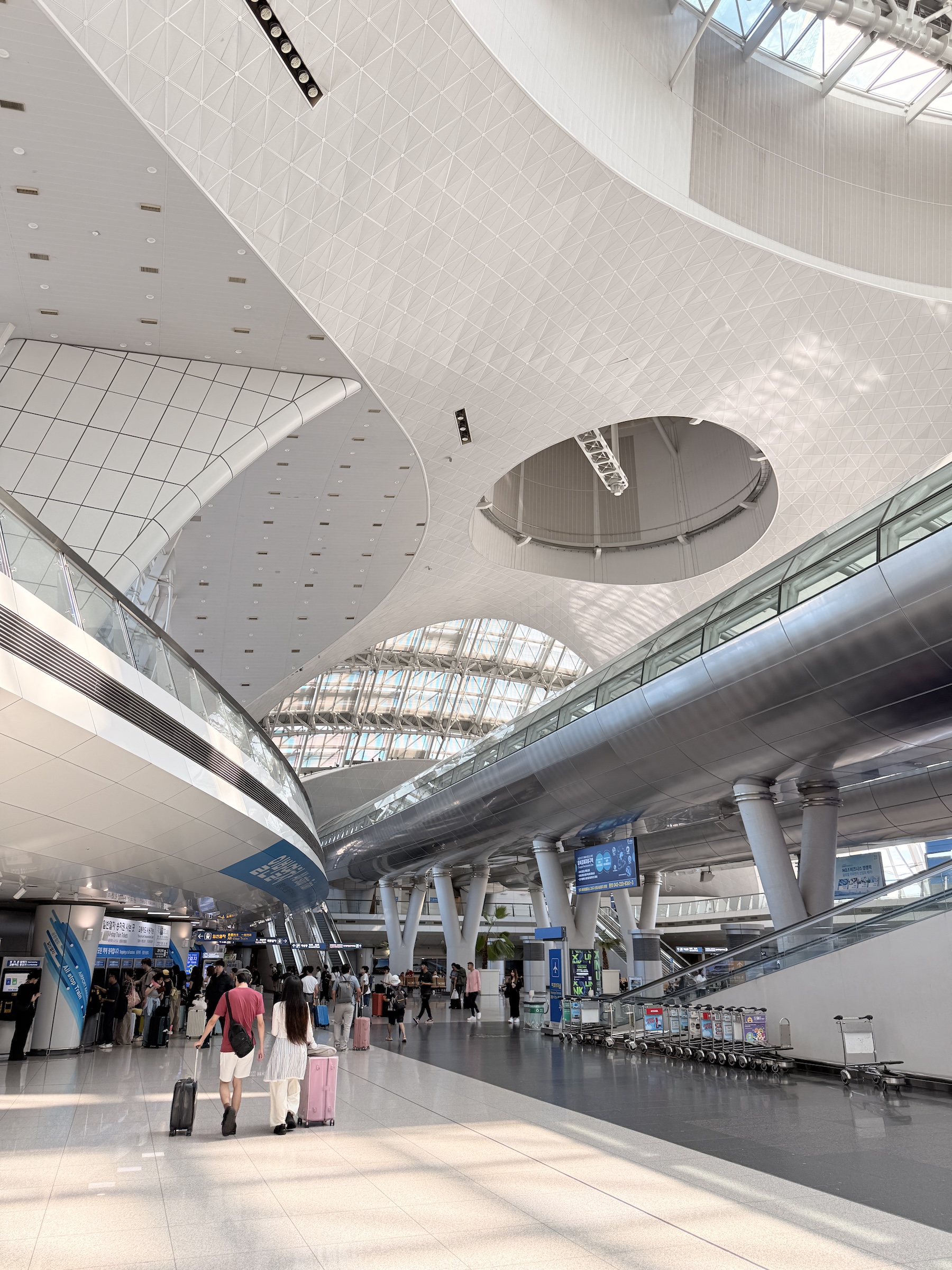
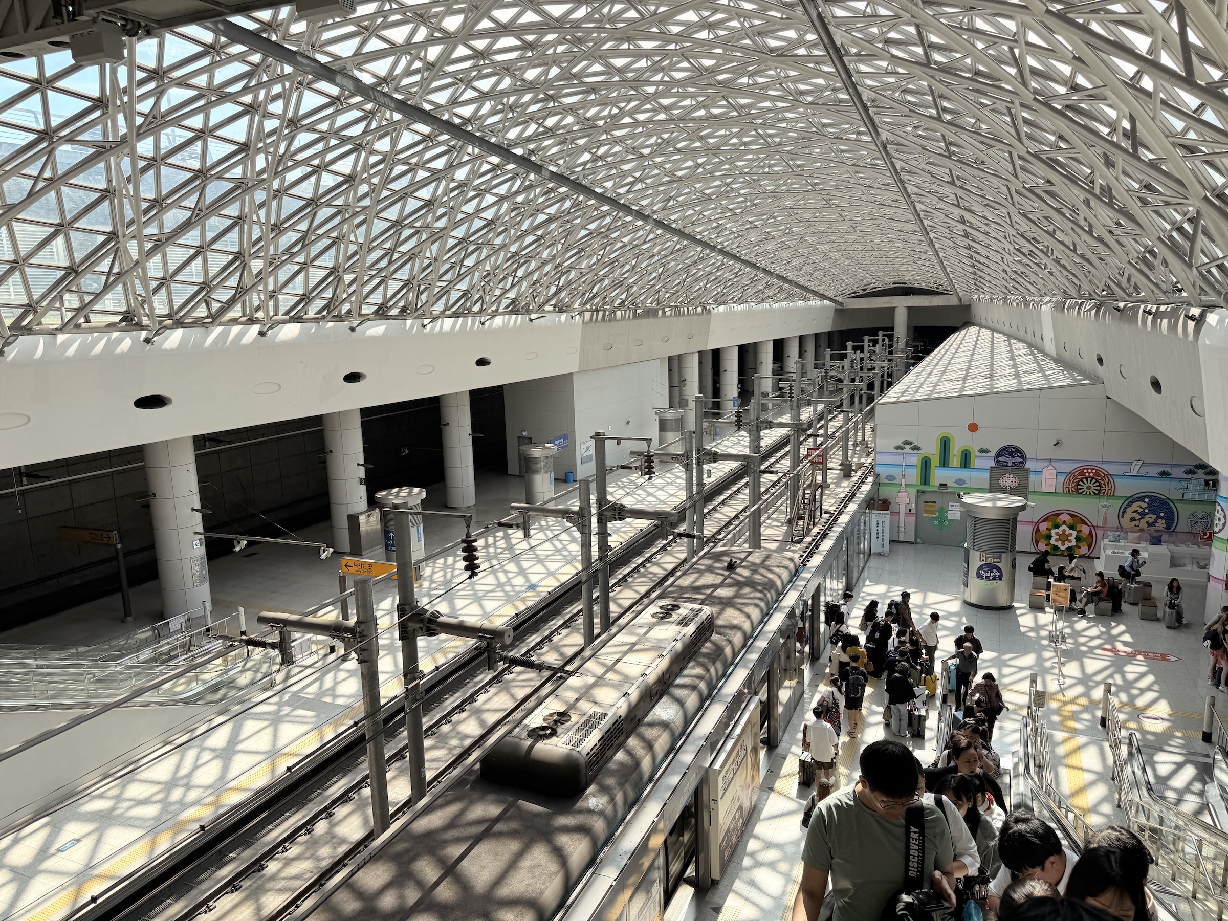
It took two train rides to get me to Osaka’s Kansai International airport (KIX), and after I had arrived at Seoul’s Incheon airport (ICN), two more trains to get me to my hotel in the city.
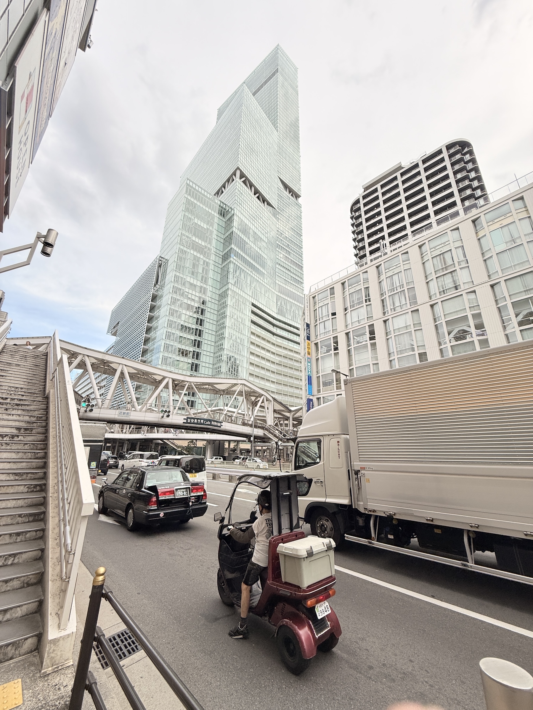
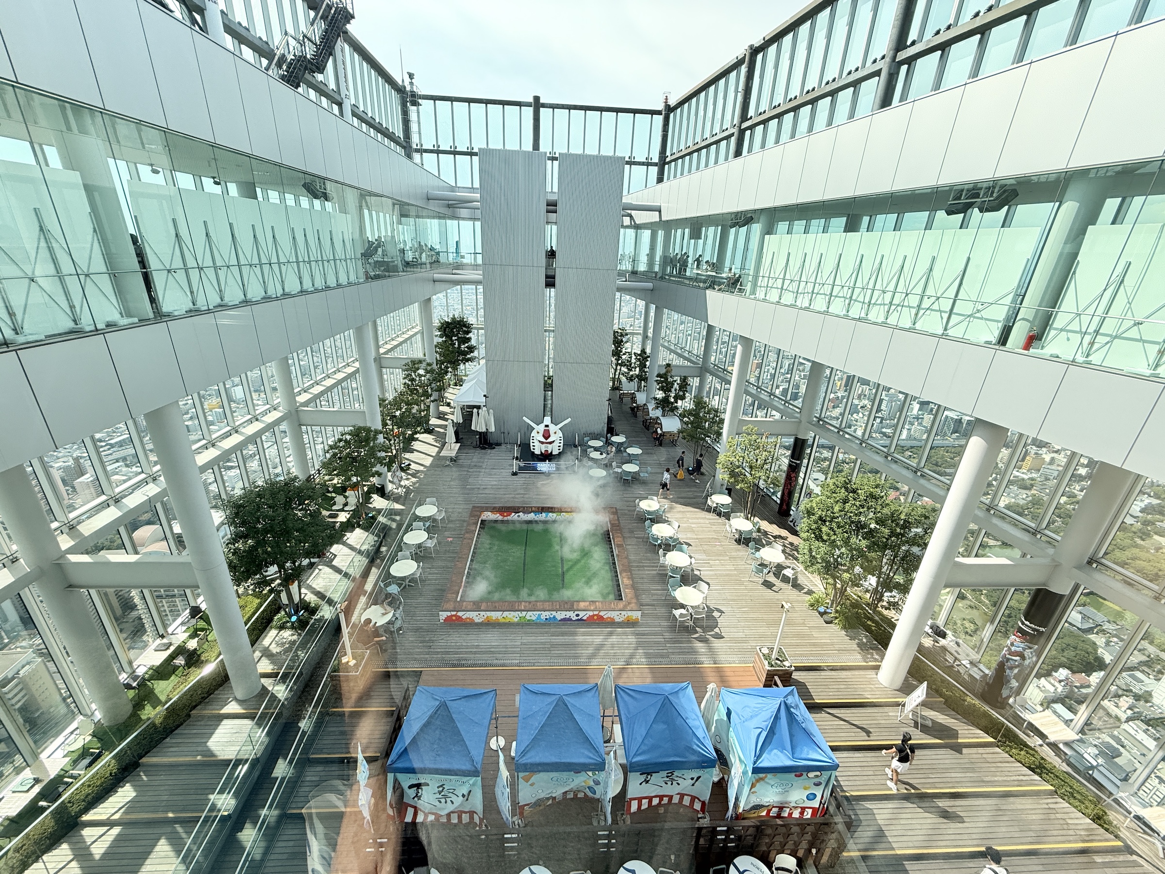
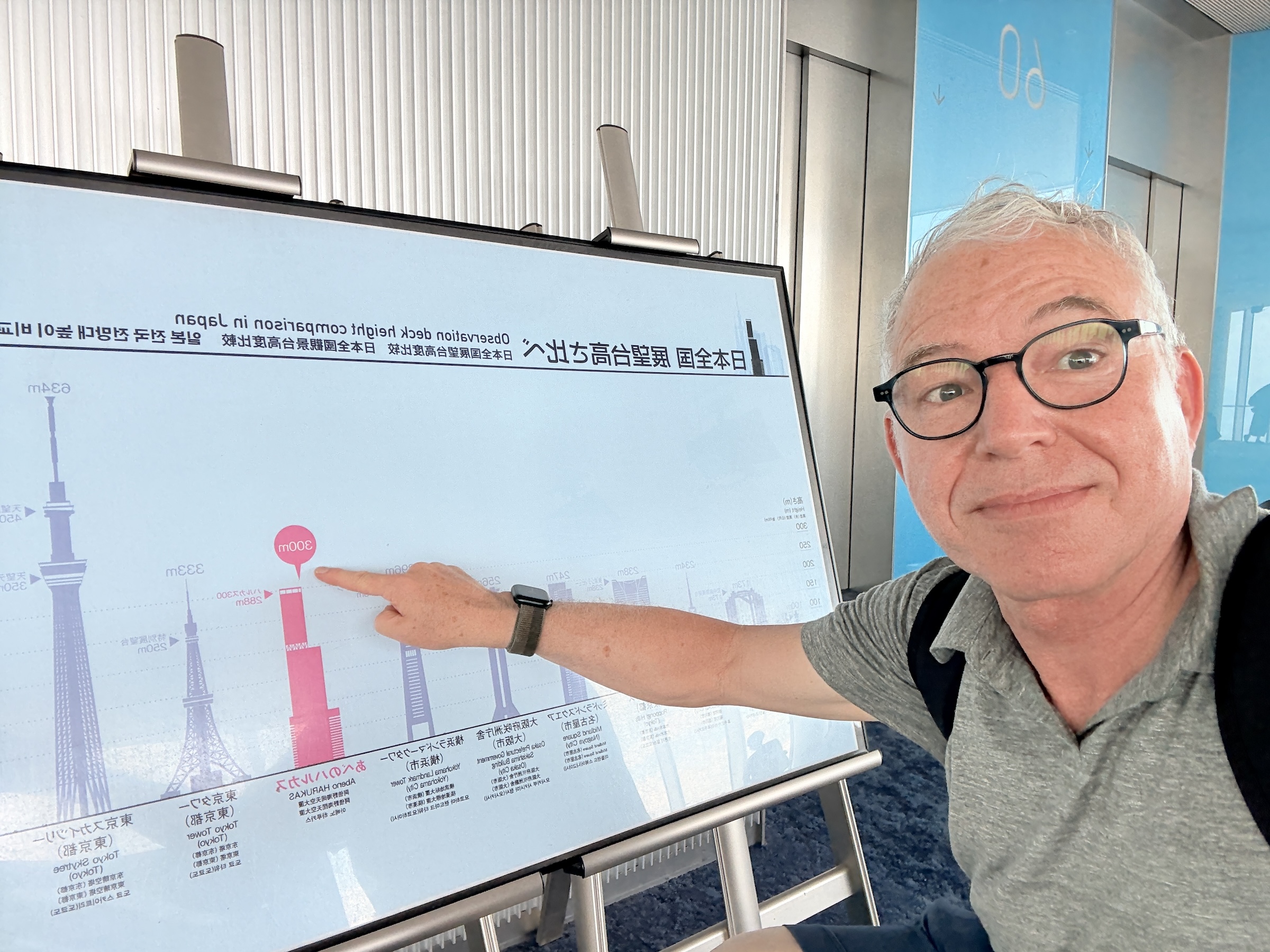
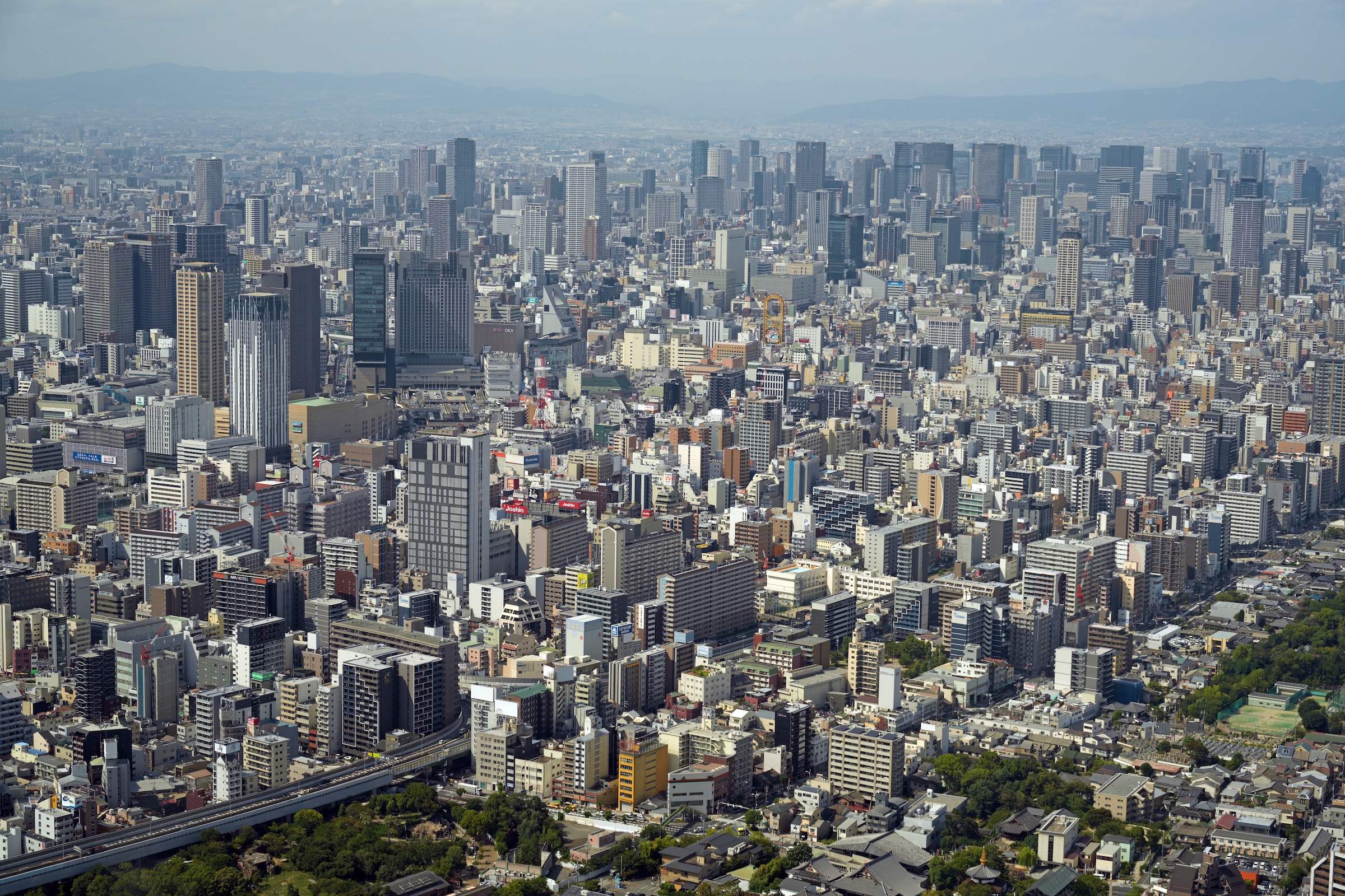
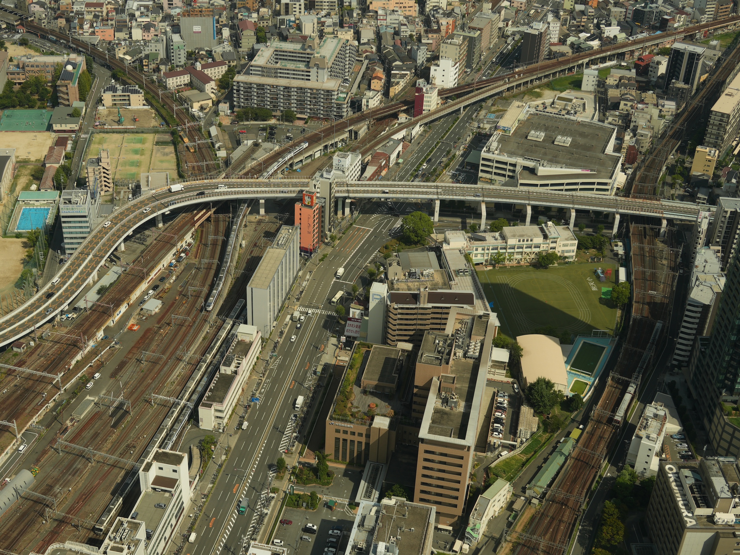
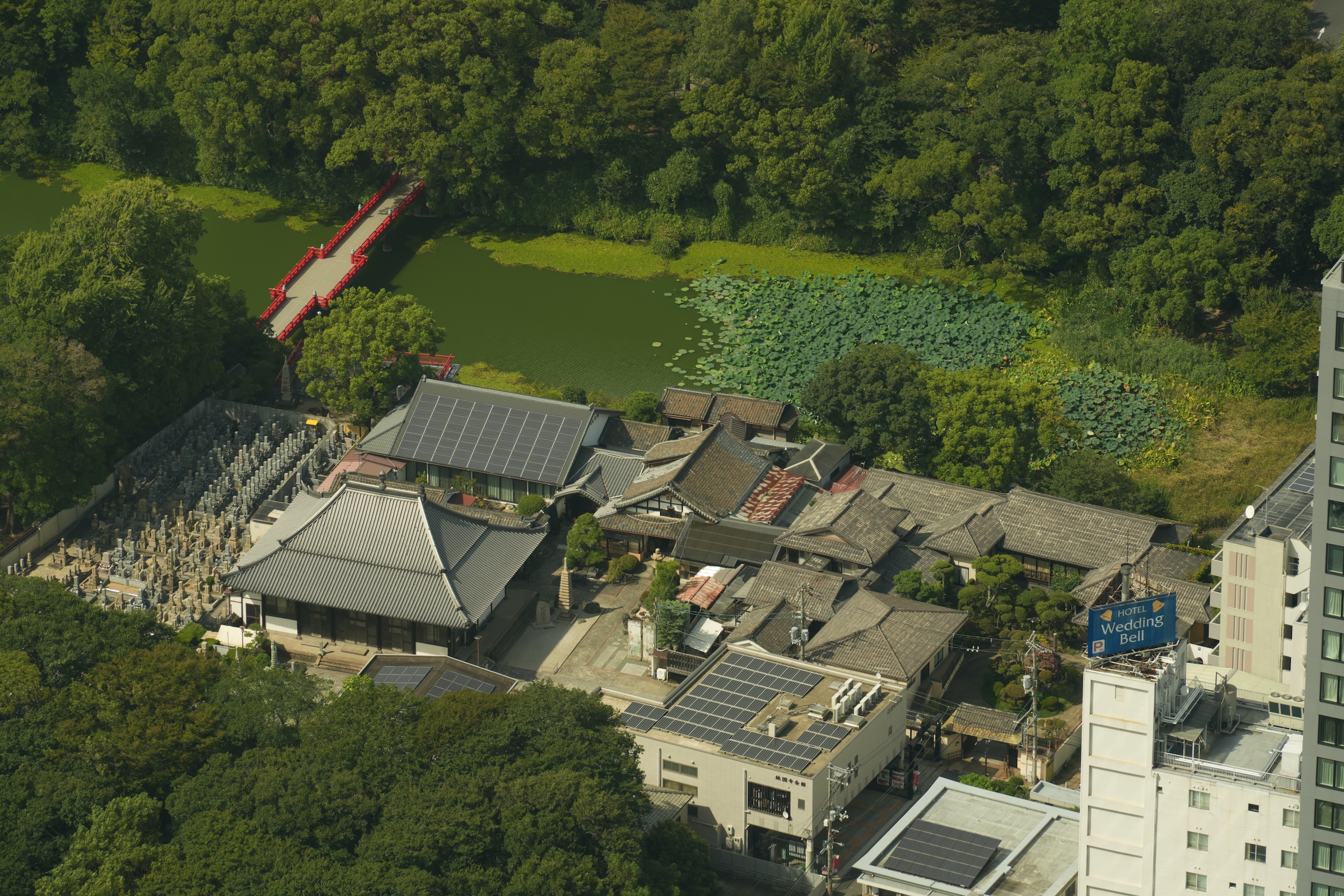
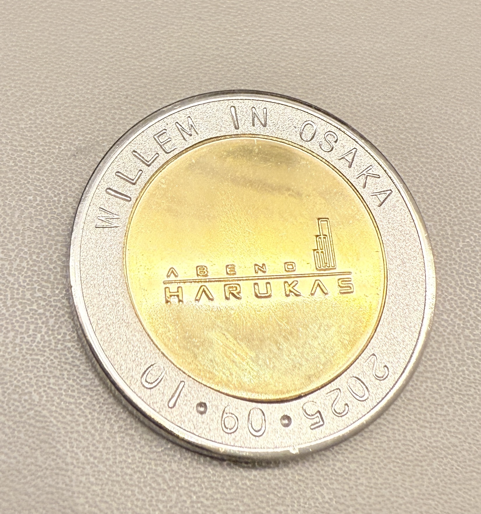
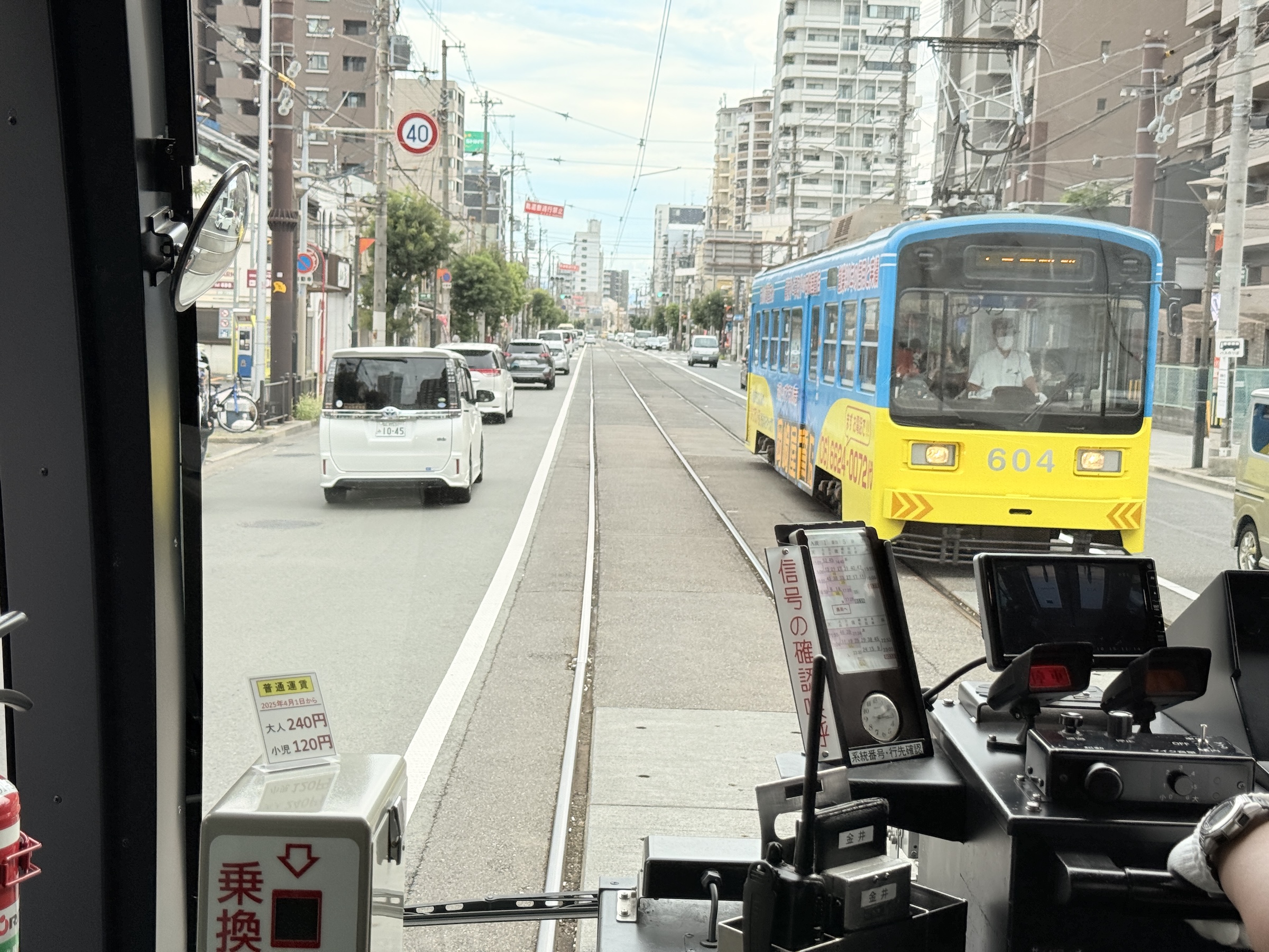
I set out this morning to take a ride on the streetcar that starts at Tennojiekimae Station. Just with dumb luck, I discovered upon arriving there that Osaka’s tallest building is right there, as well.
So I first went up to the observation deck on the 60th story of Abeno Harukas, and then took a short ride on the street car.
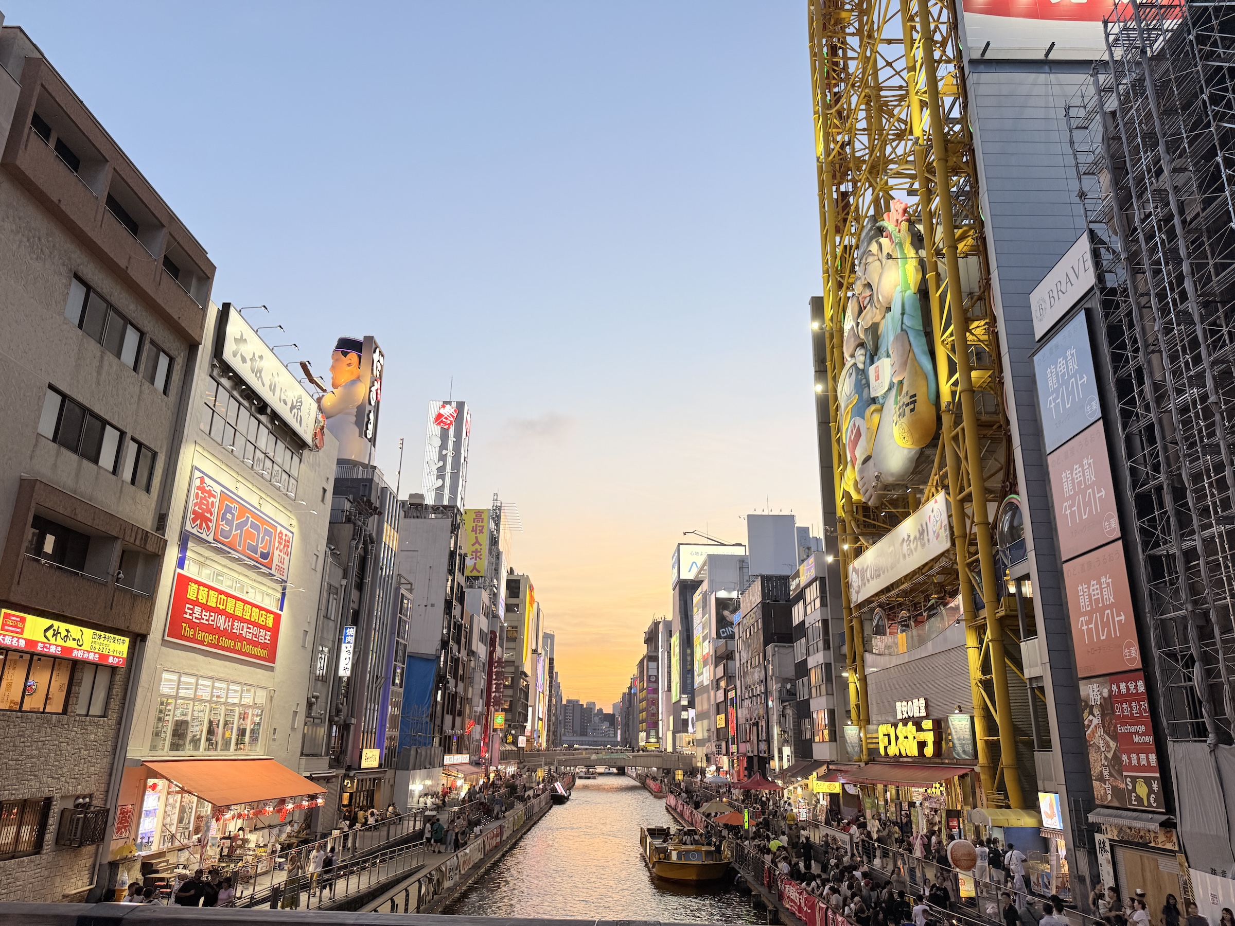
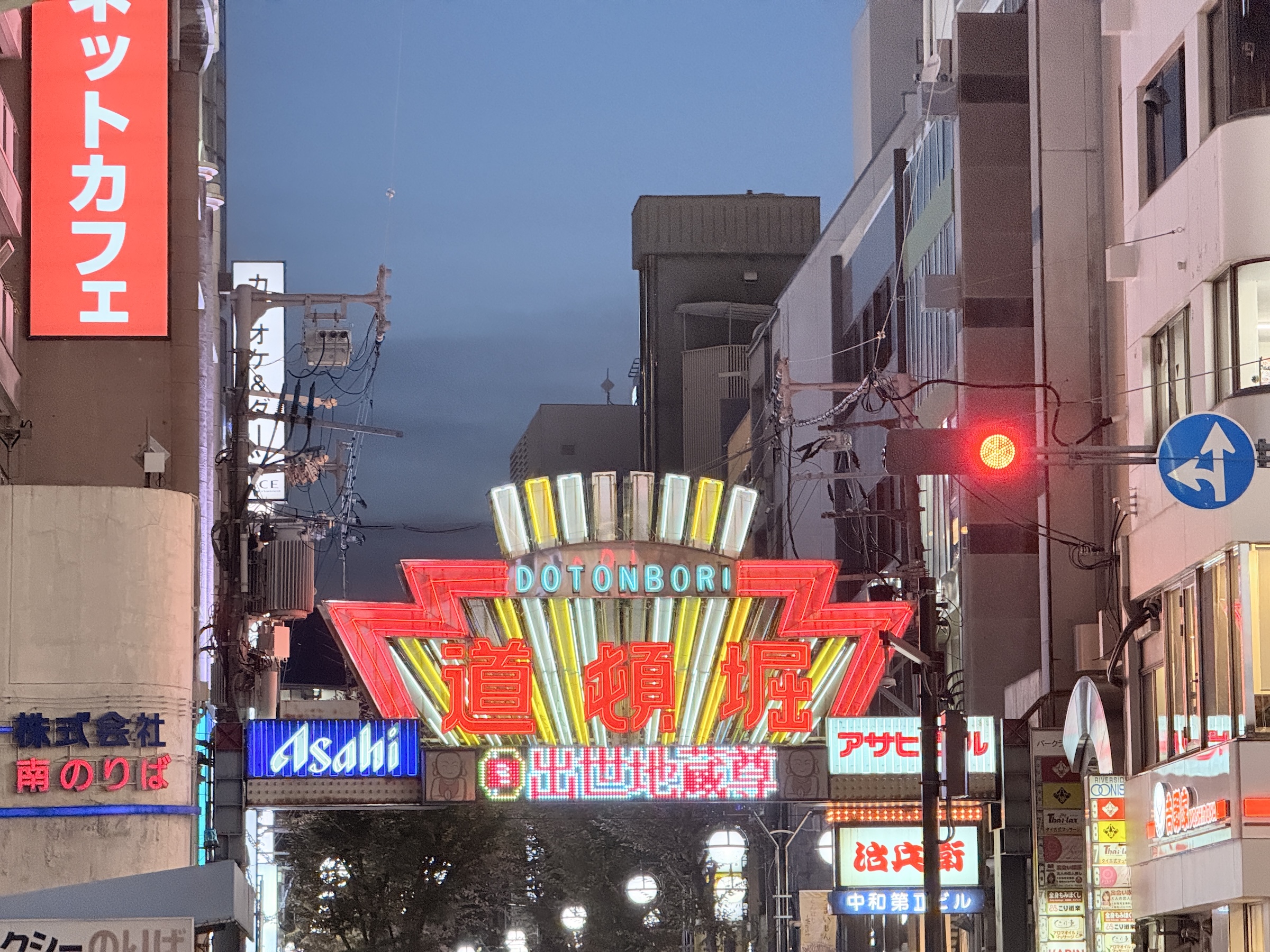
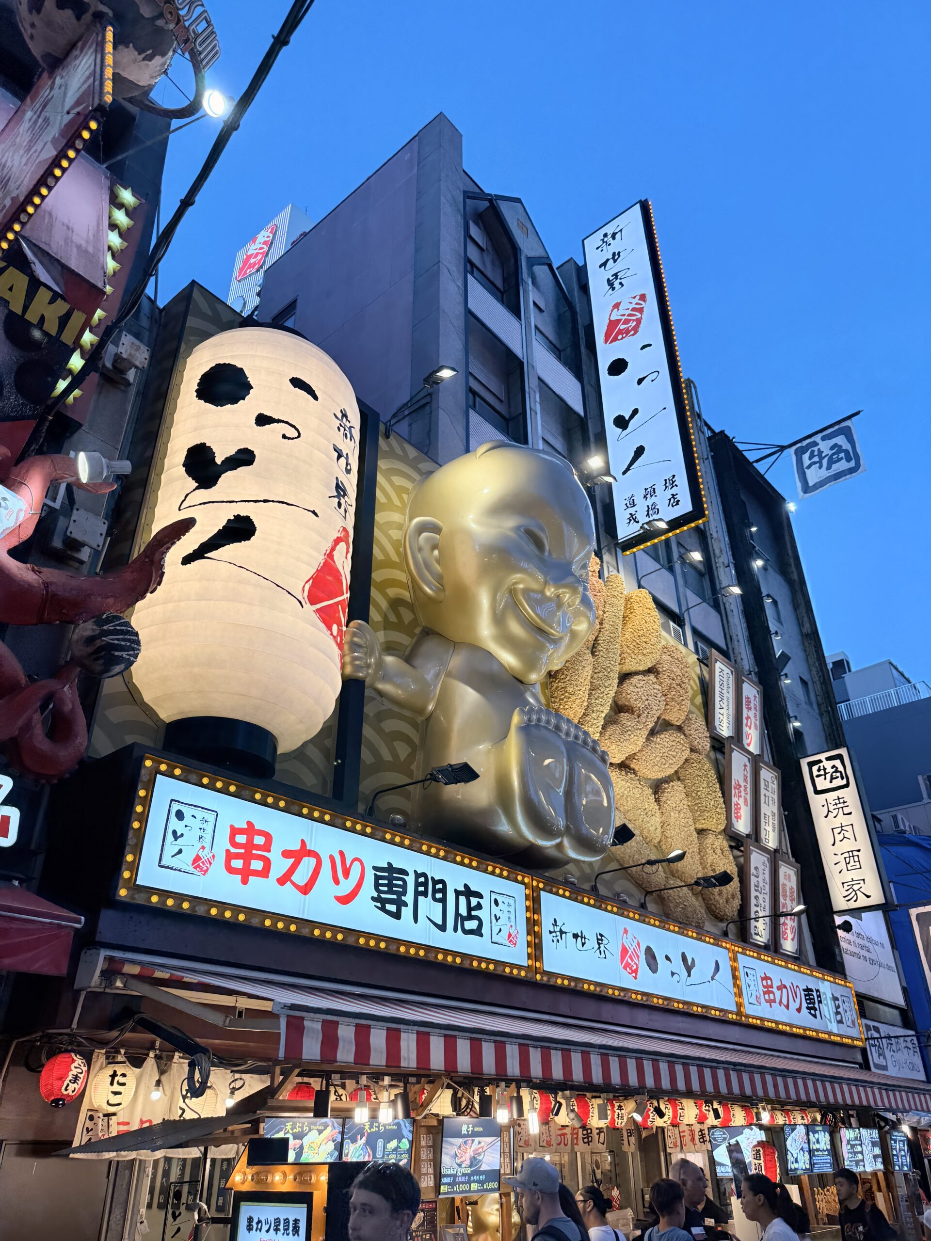
Today was my last full day in Osaka.
I am flying out to Seoul, Korea (two hours on Asiana Airlines), in the morning.
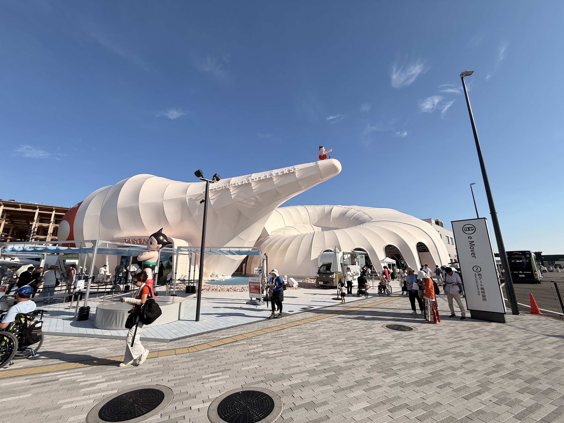
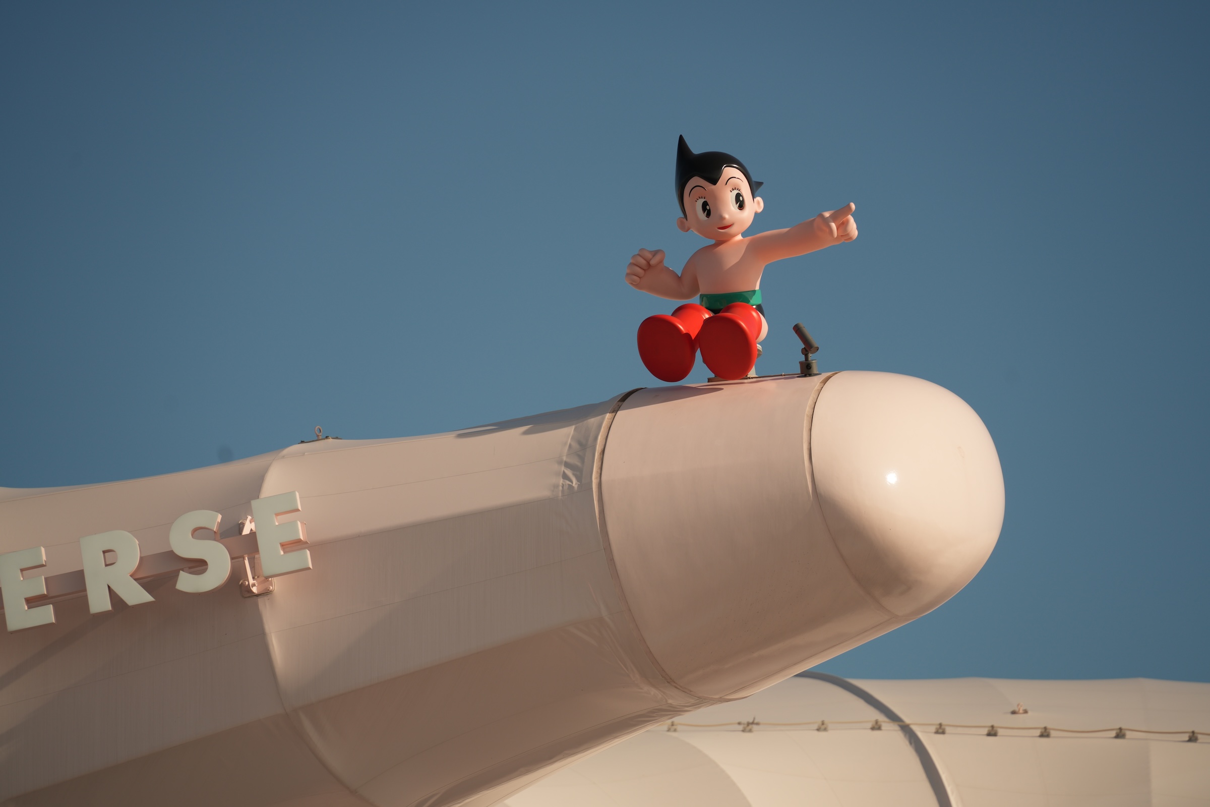
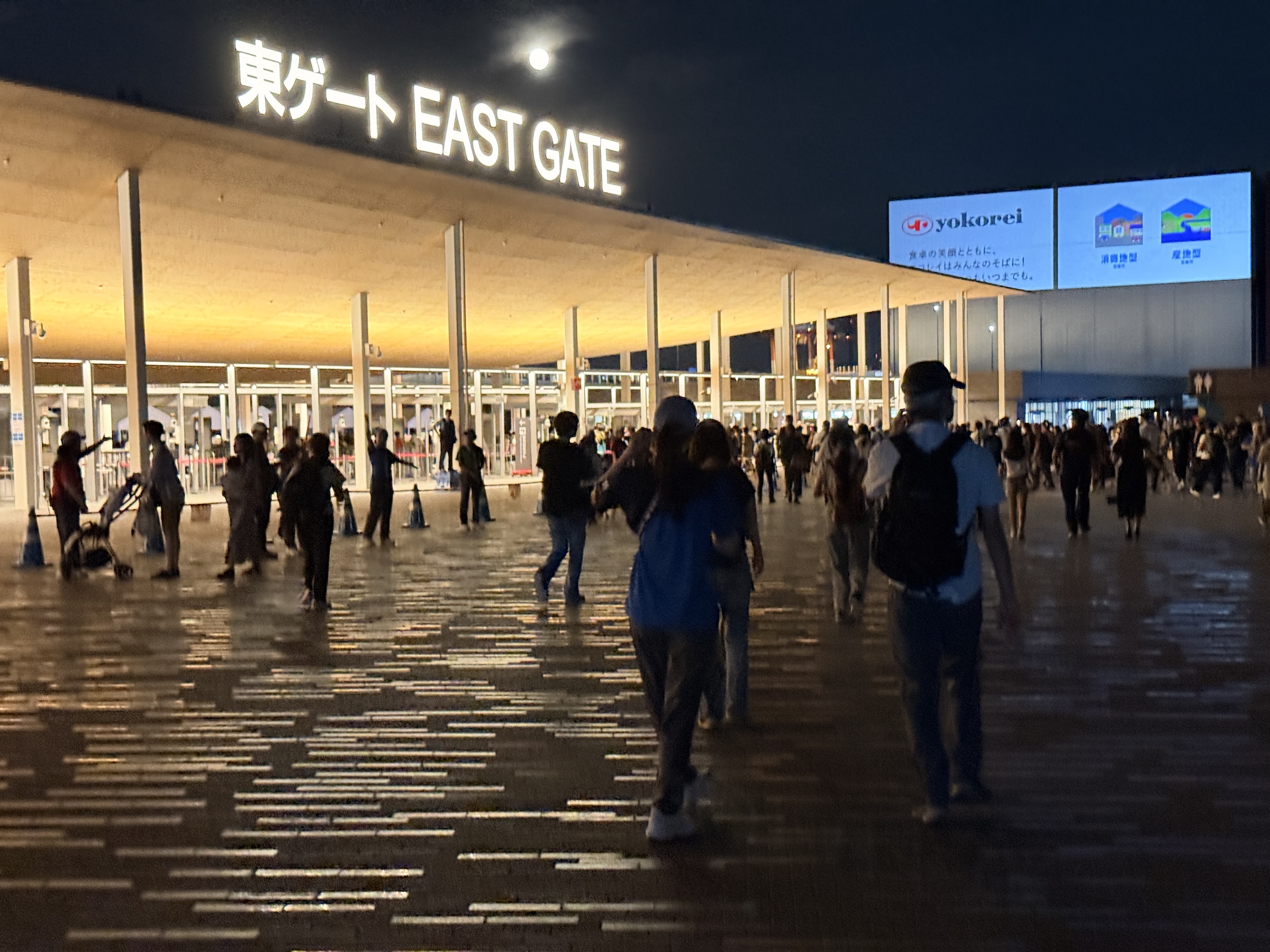
I walked over to the West Gate today (both days I had entered at the East Gate), where I found Astro Boy.
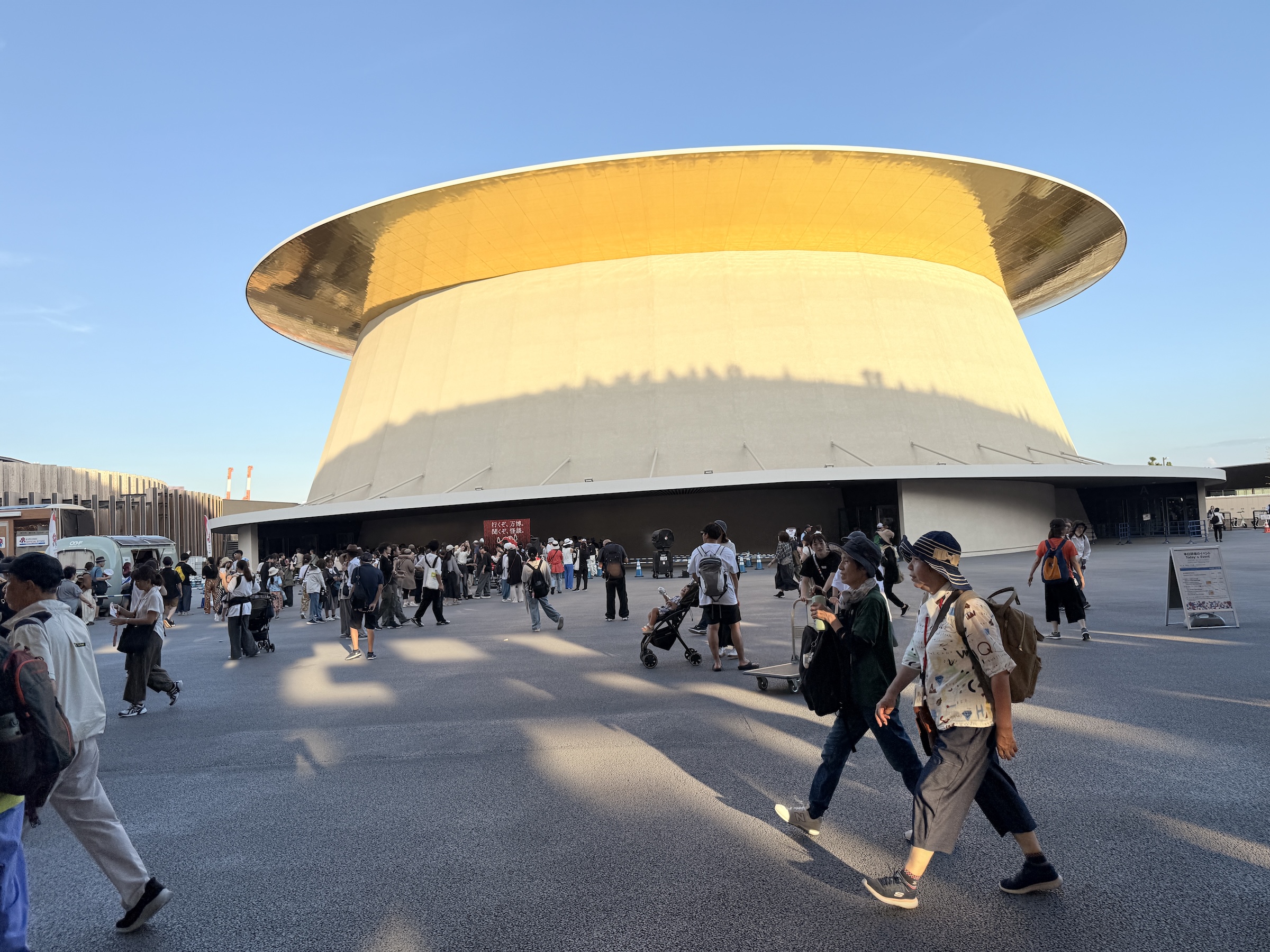
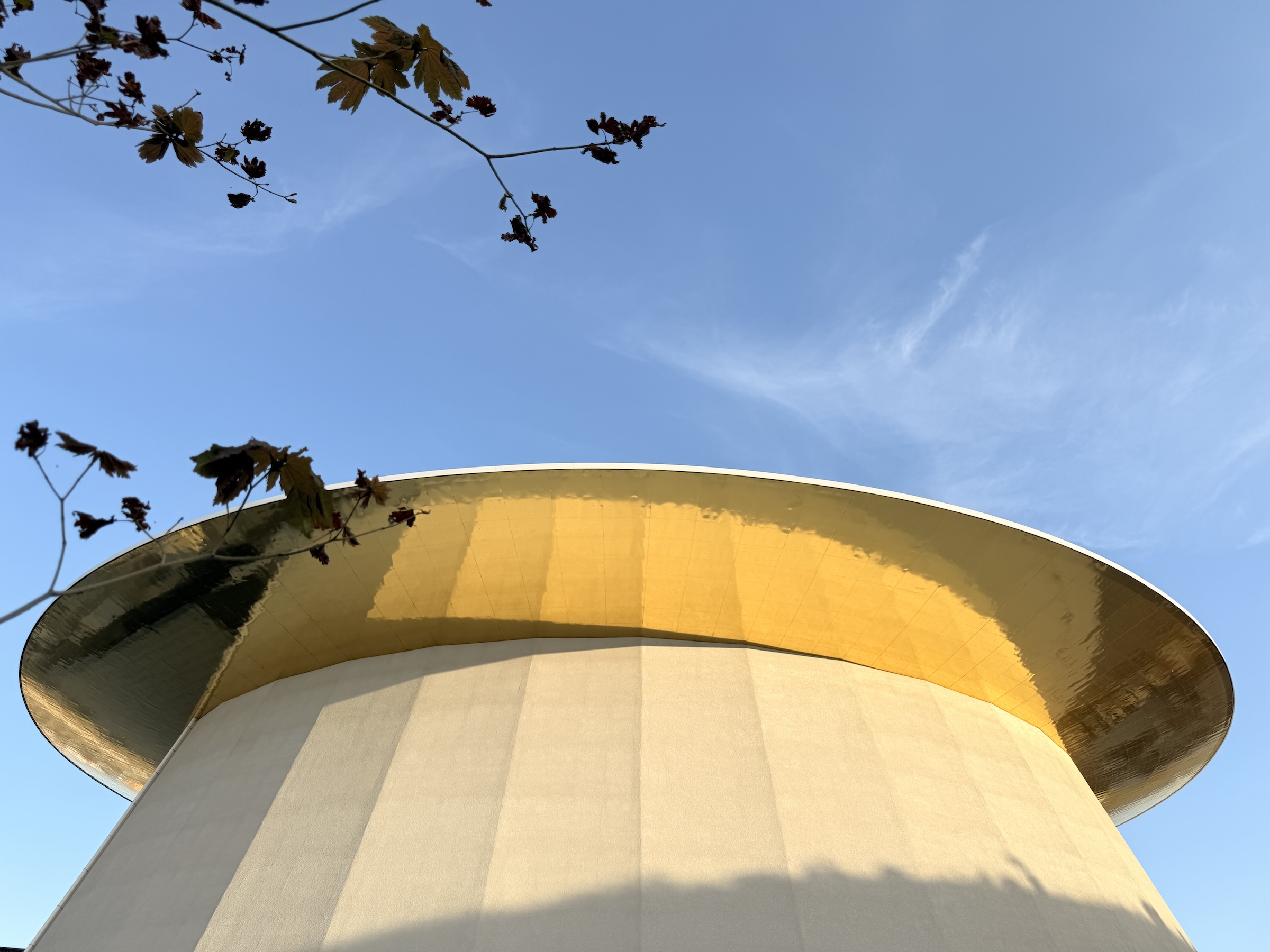
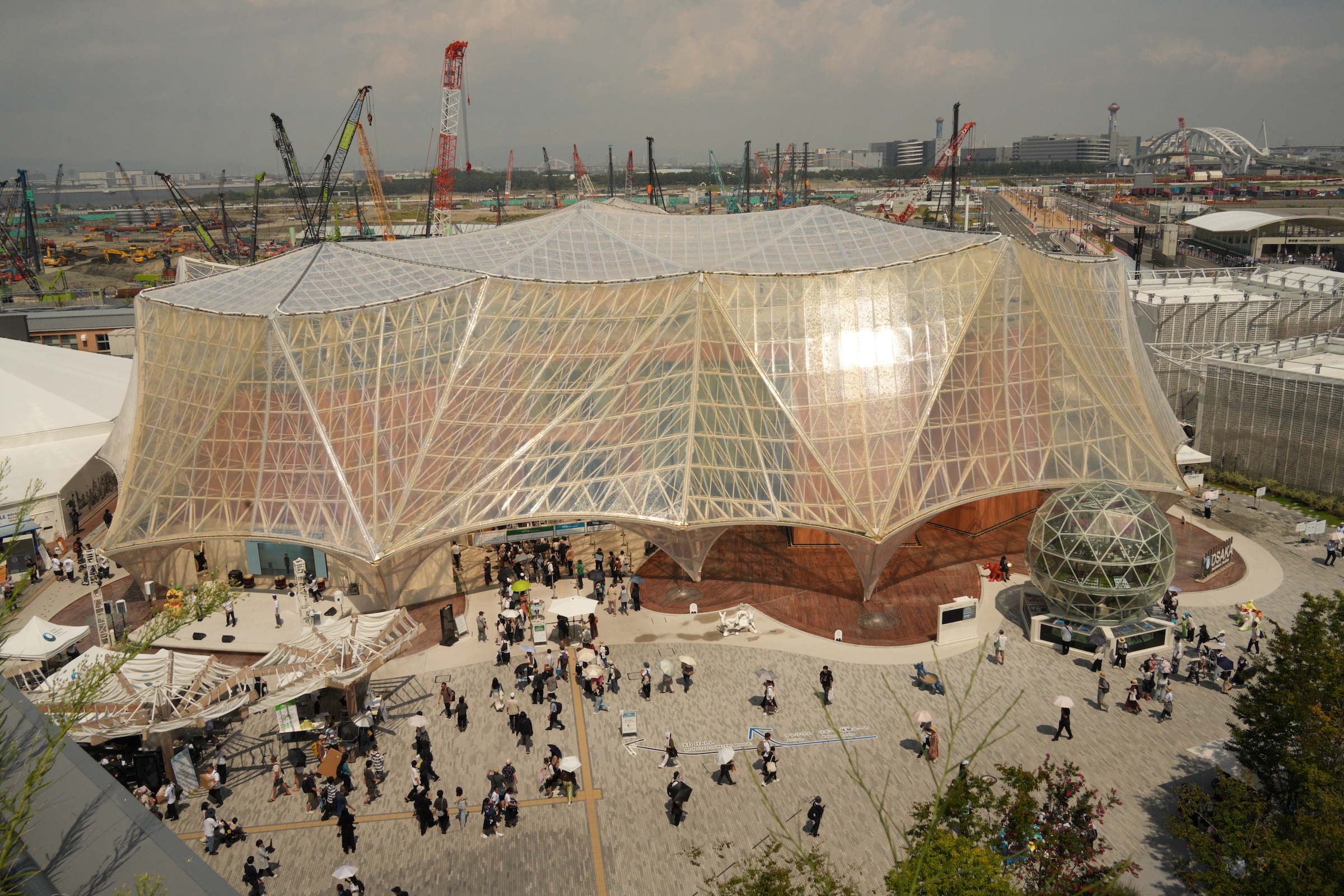
I also tracked down the Japan Pavilion with its beautiful ‘golden hat’ design. The Golden Surface of the Japan Pavilion was created by the designers Nikken Sekkei. They used an iridescent color shining technology— a technique that involves engraving microgrooves onto the surface, which interact with light to produce a dynamic, multi-colored sheen that changes with the viewing angle.
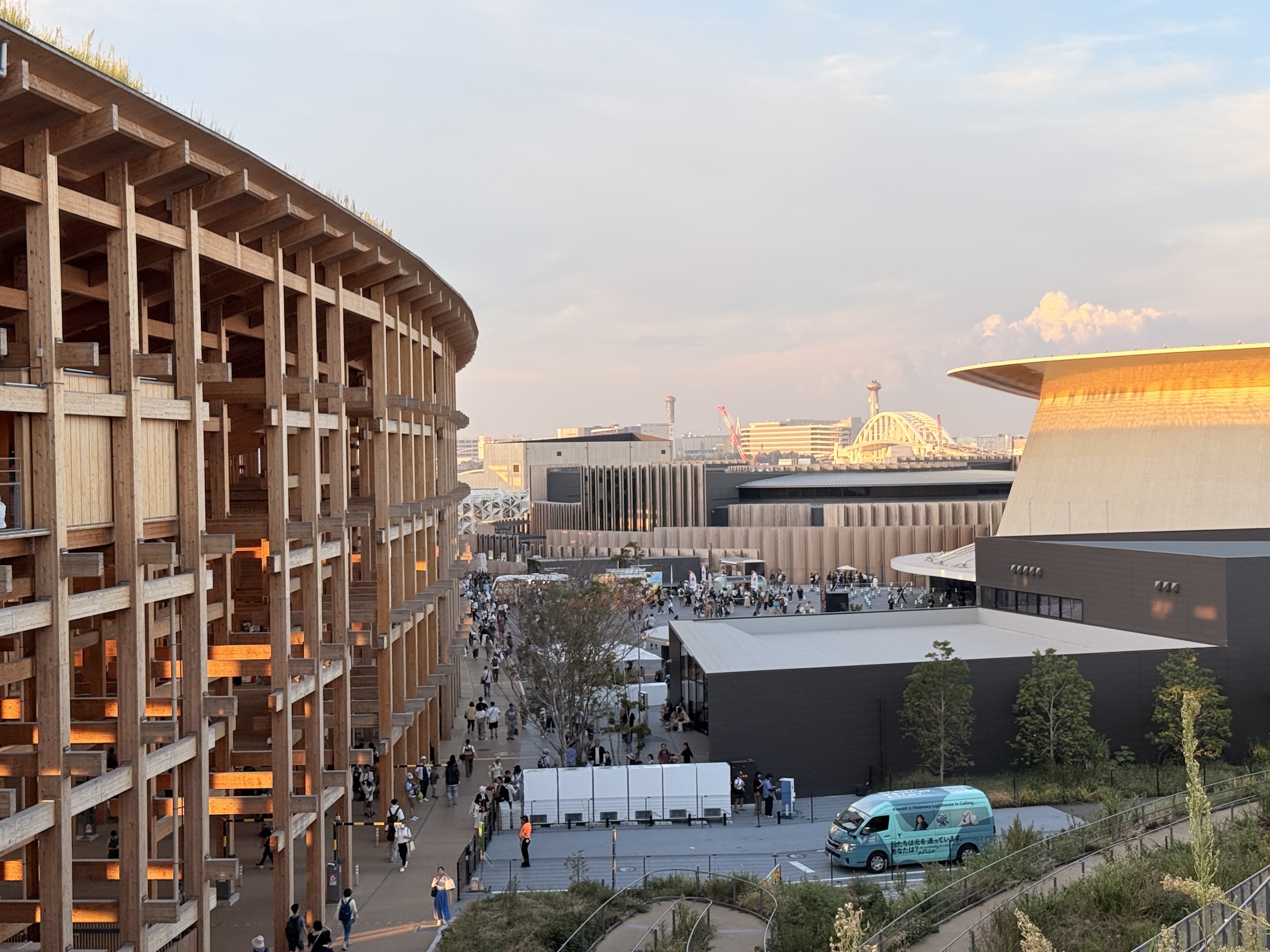
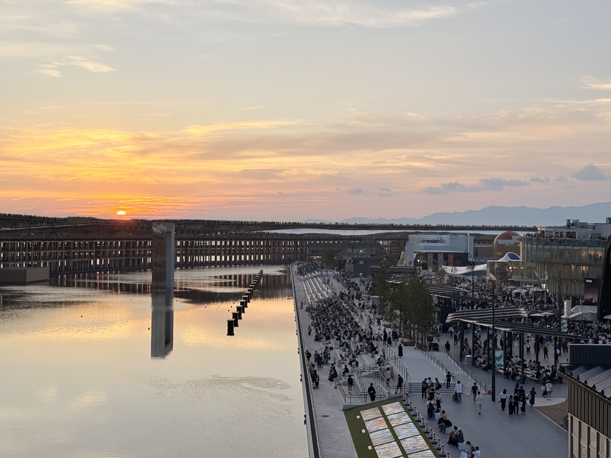
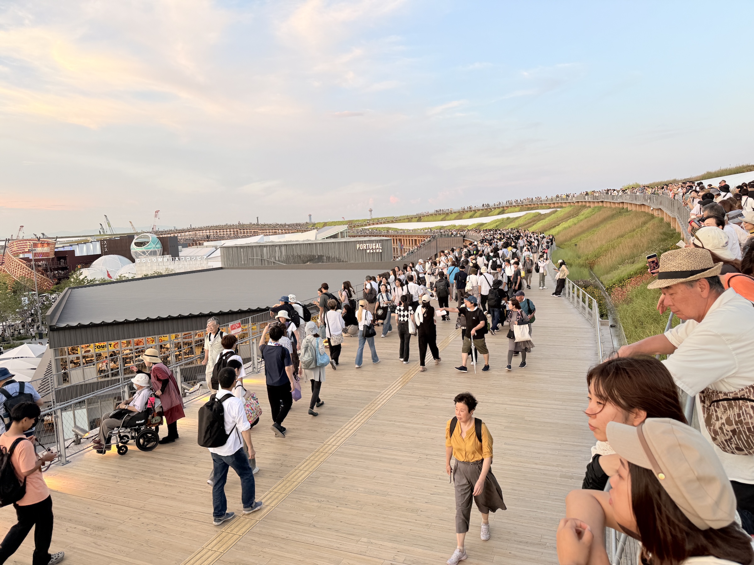
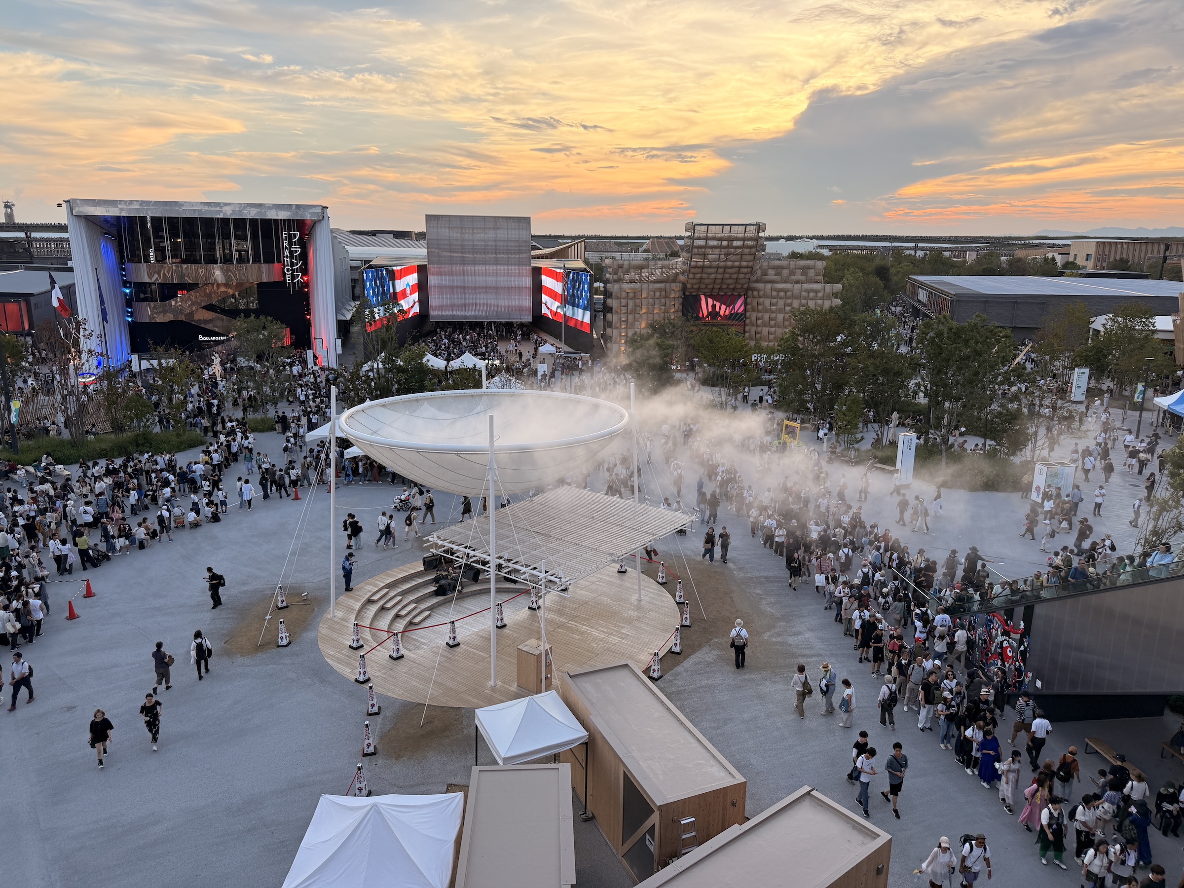
As the sun was setting, everyone went up to the Grand Ring, to watch the daylight end.
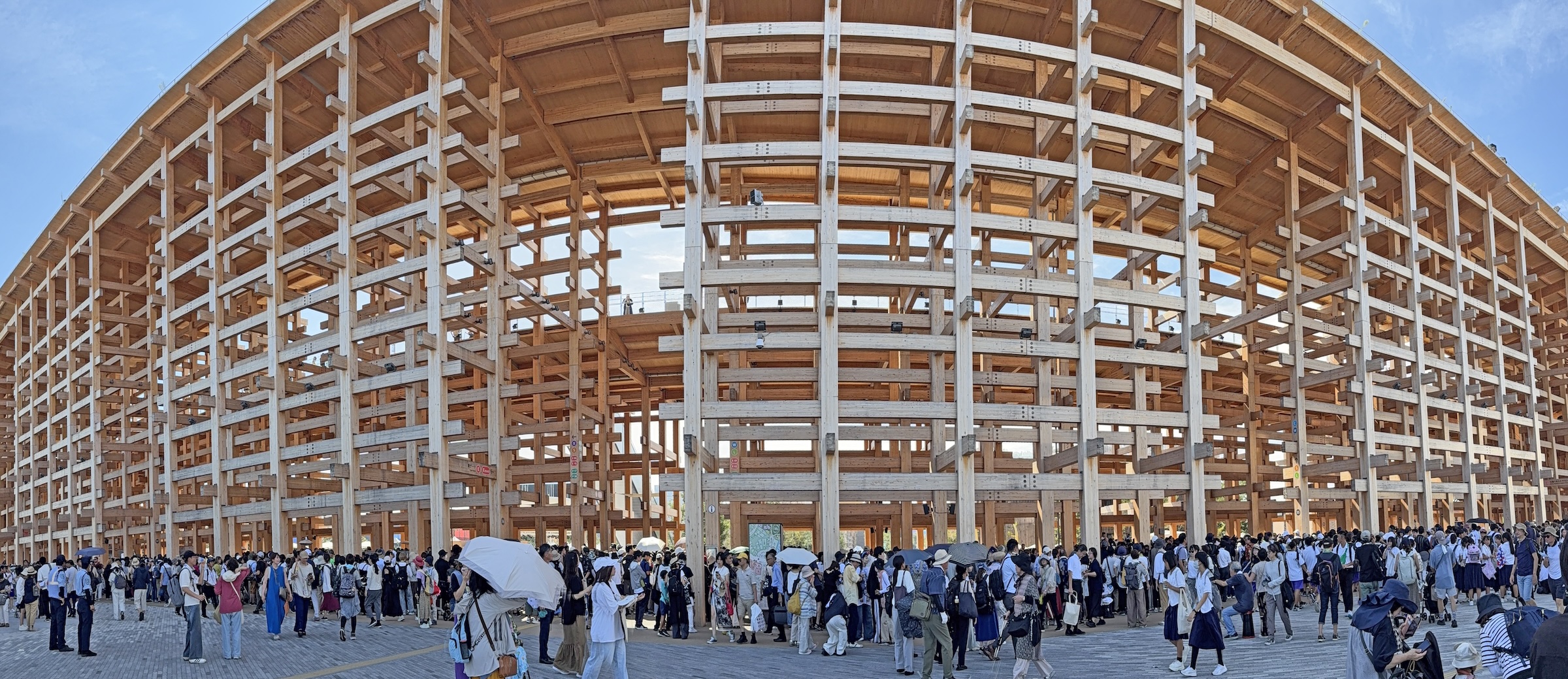
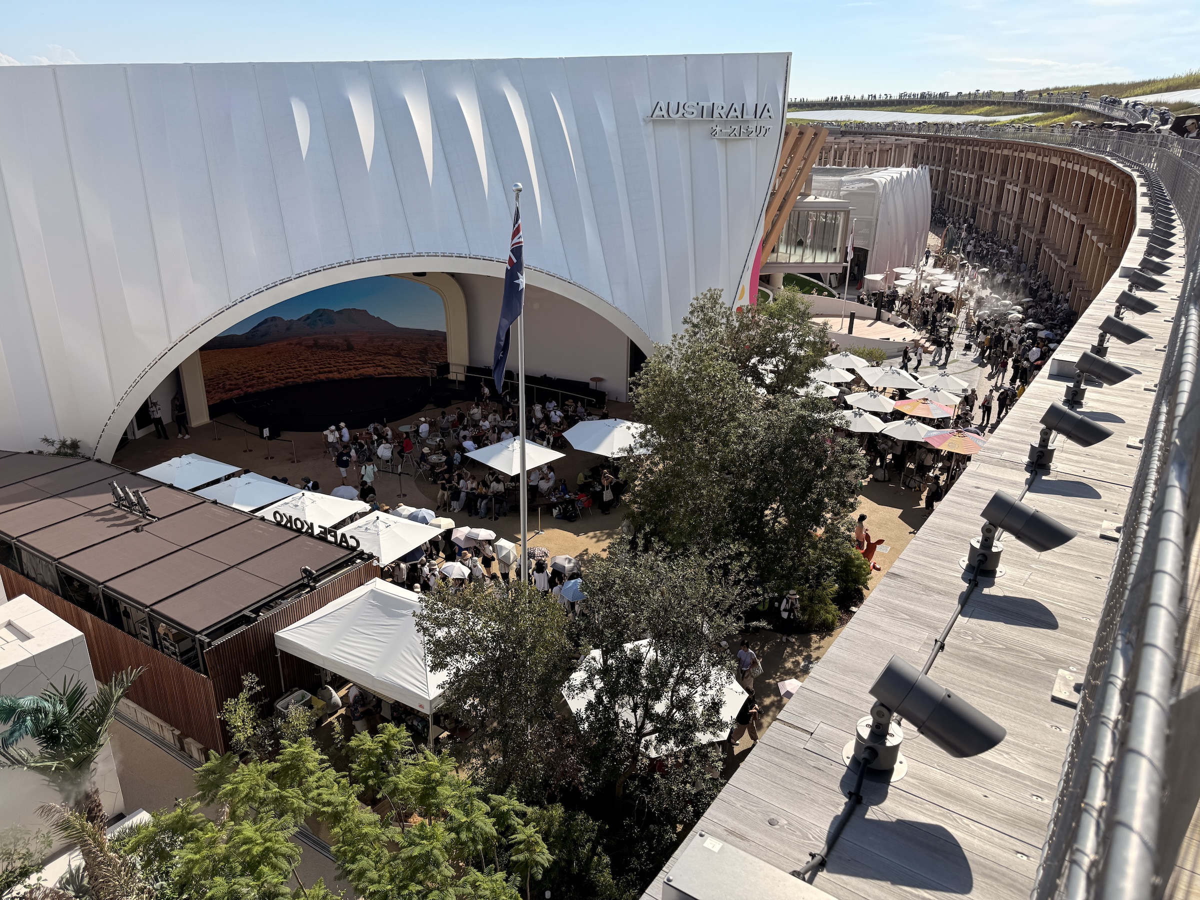
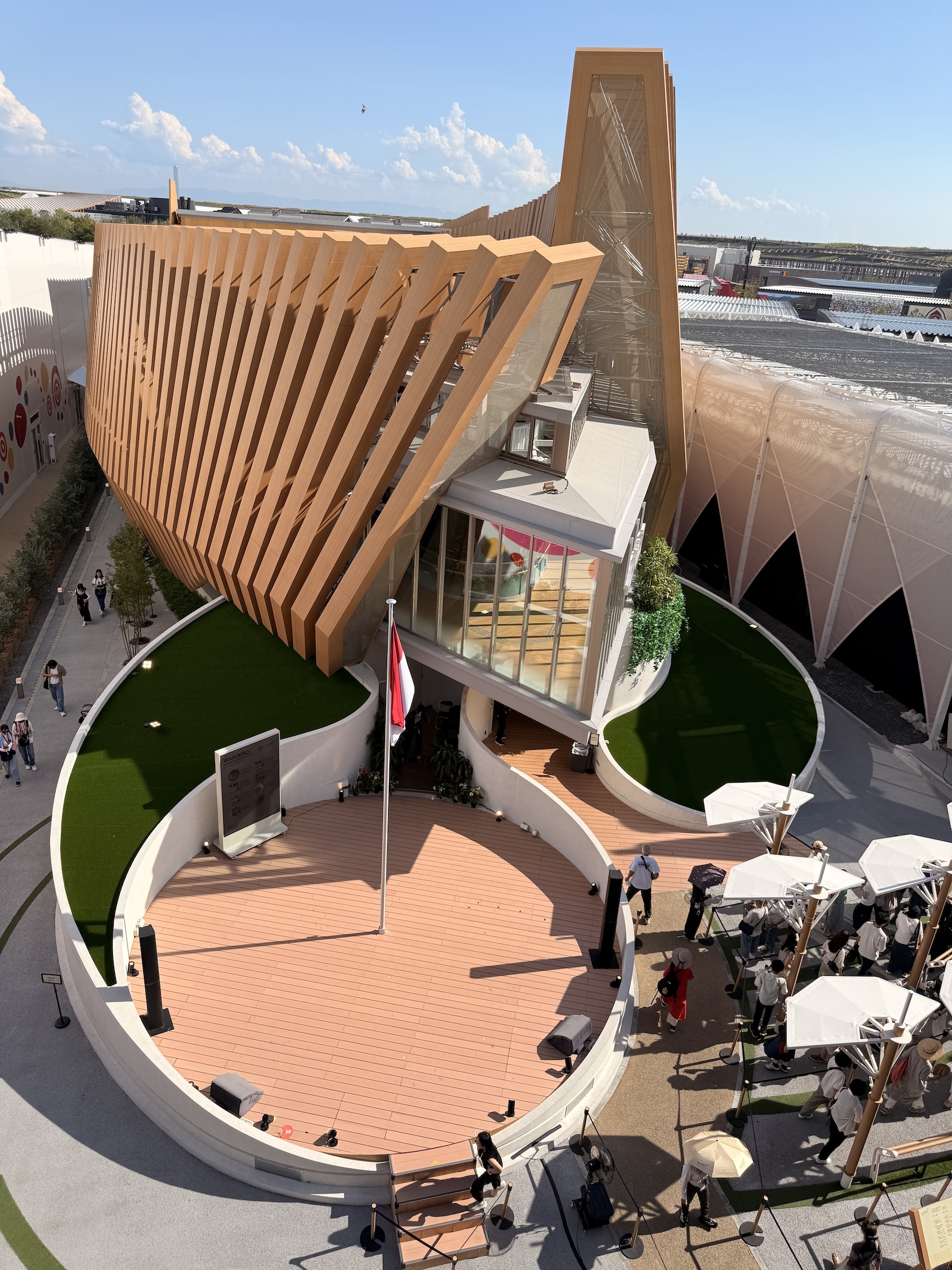
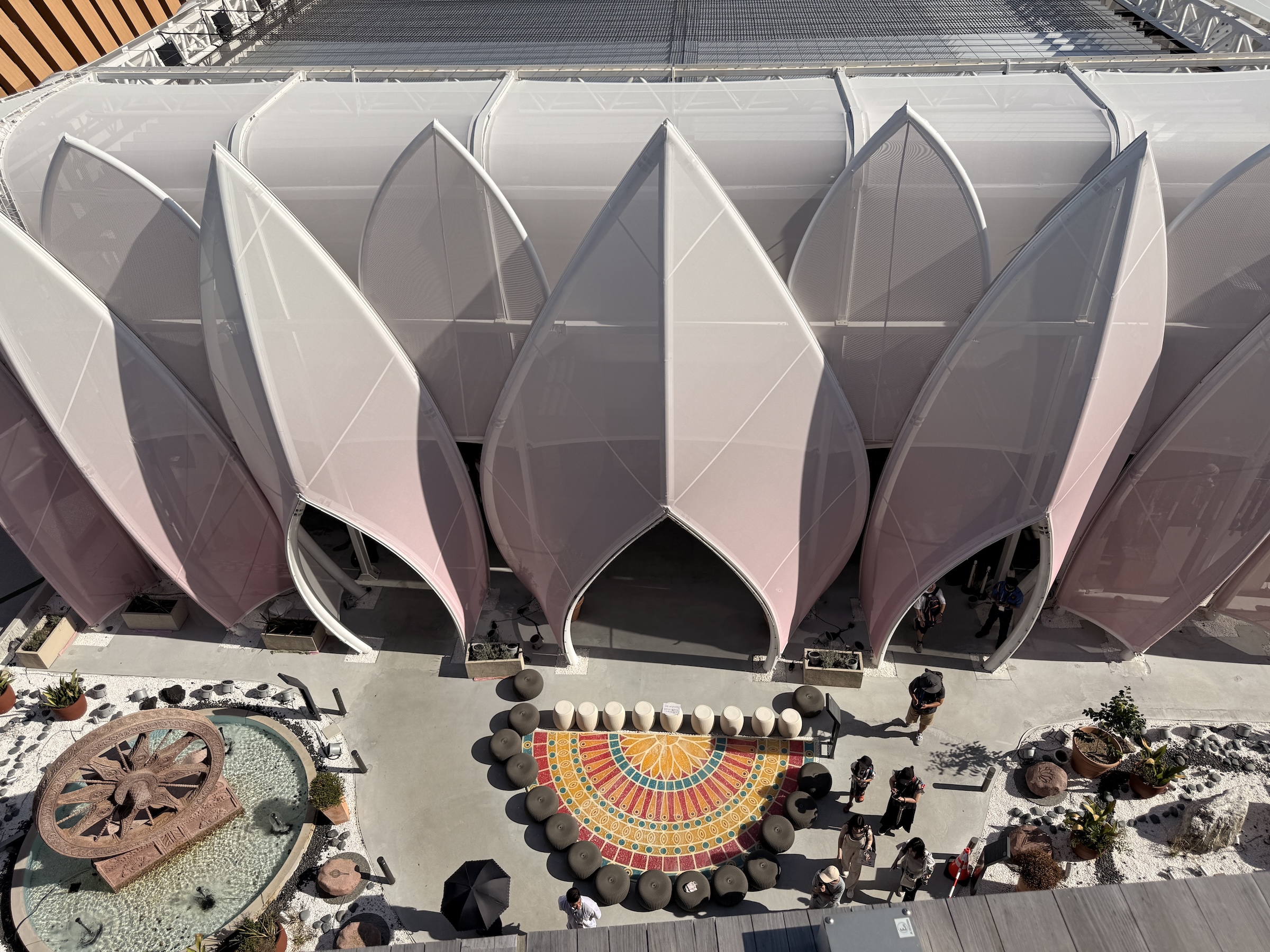
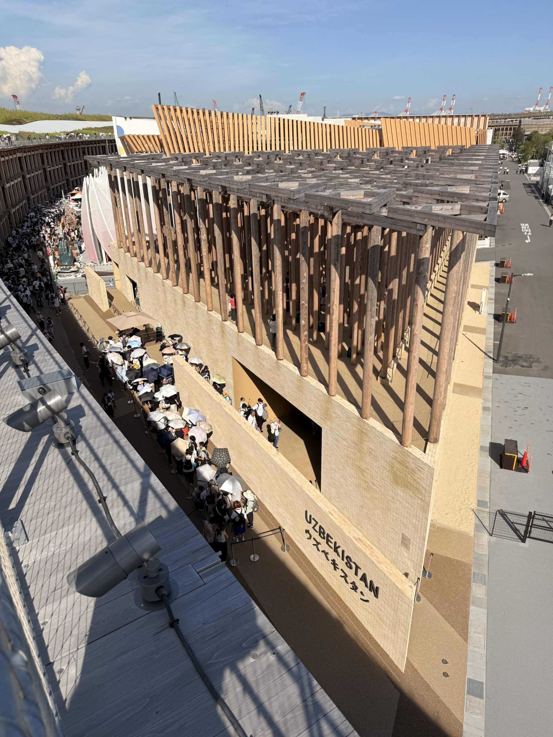
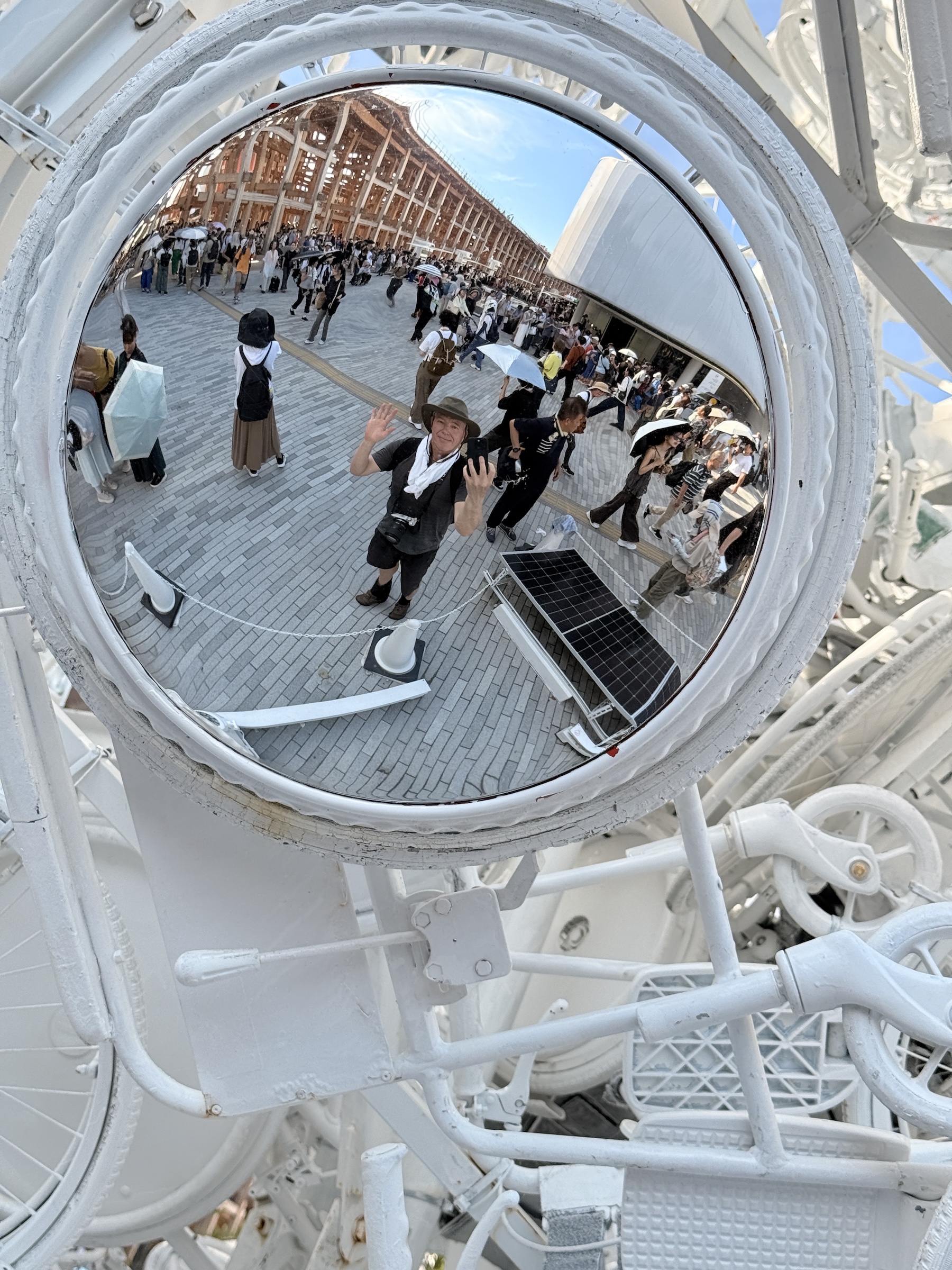
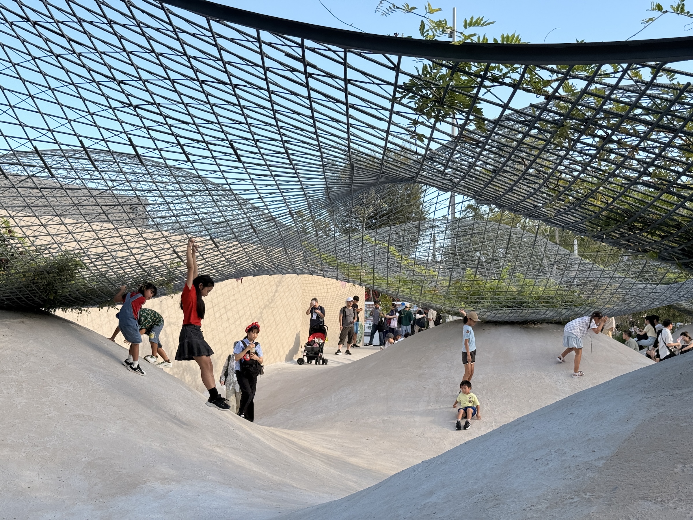
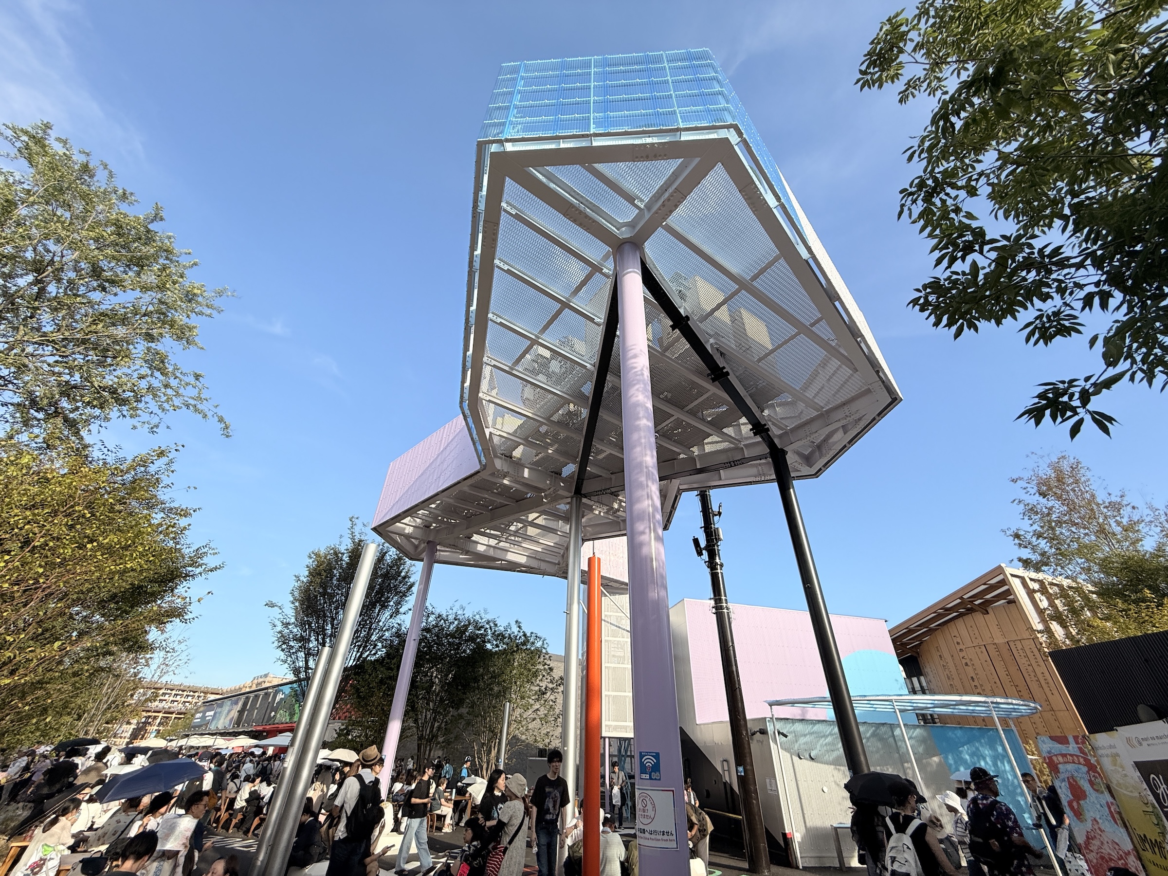
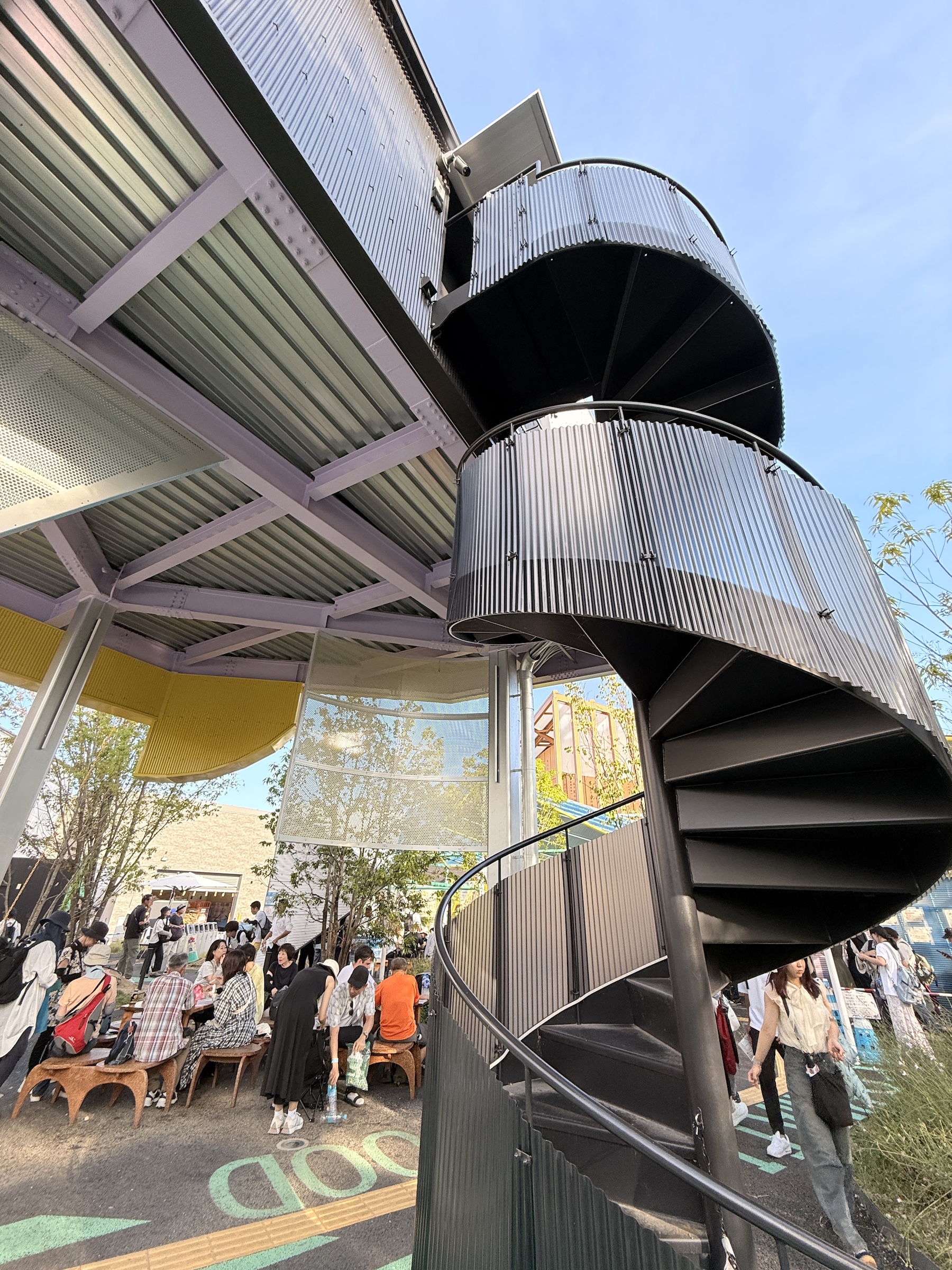
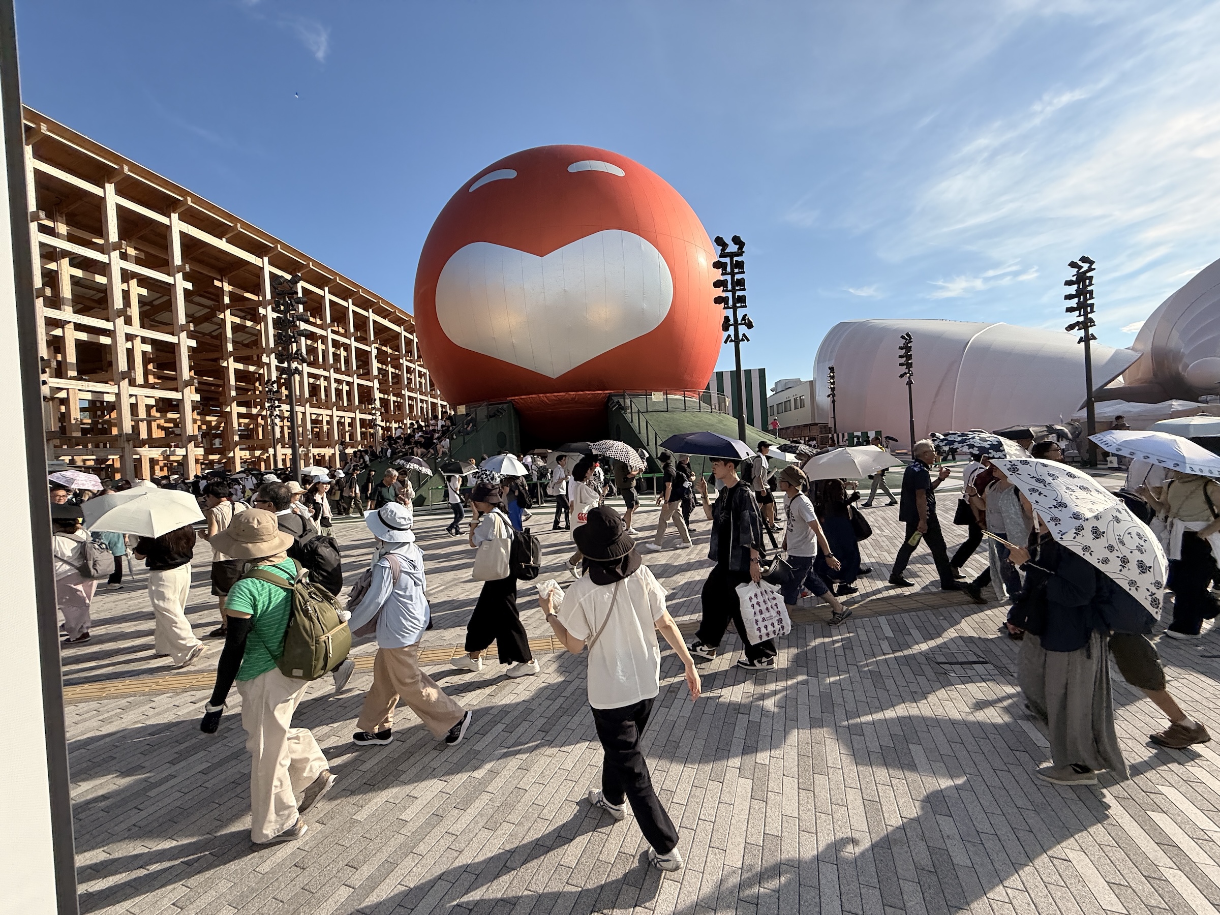
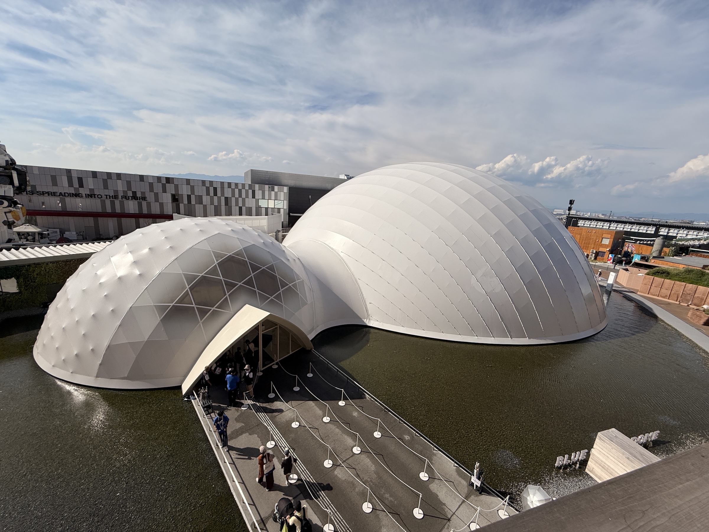
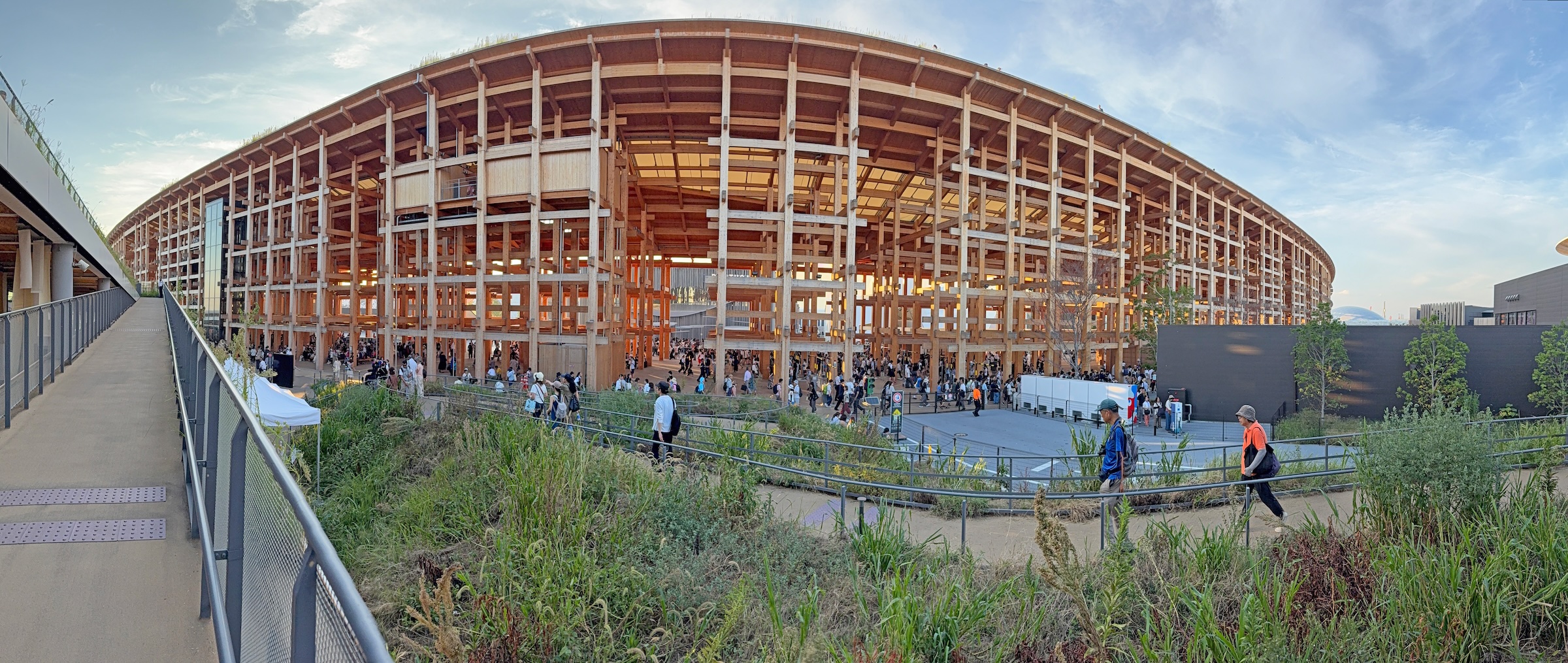
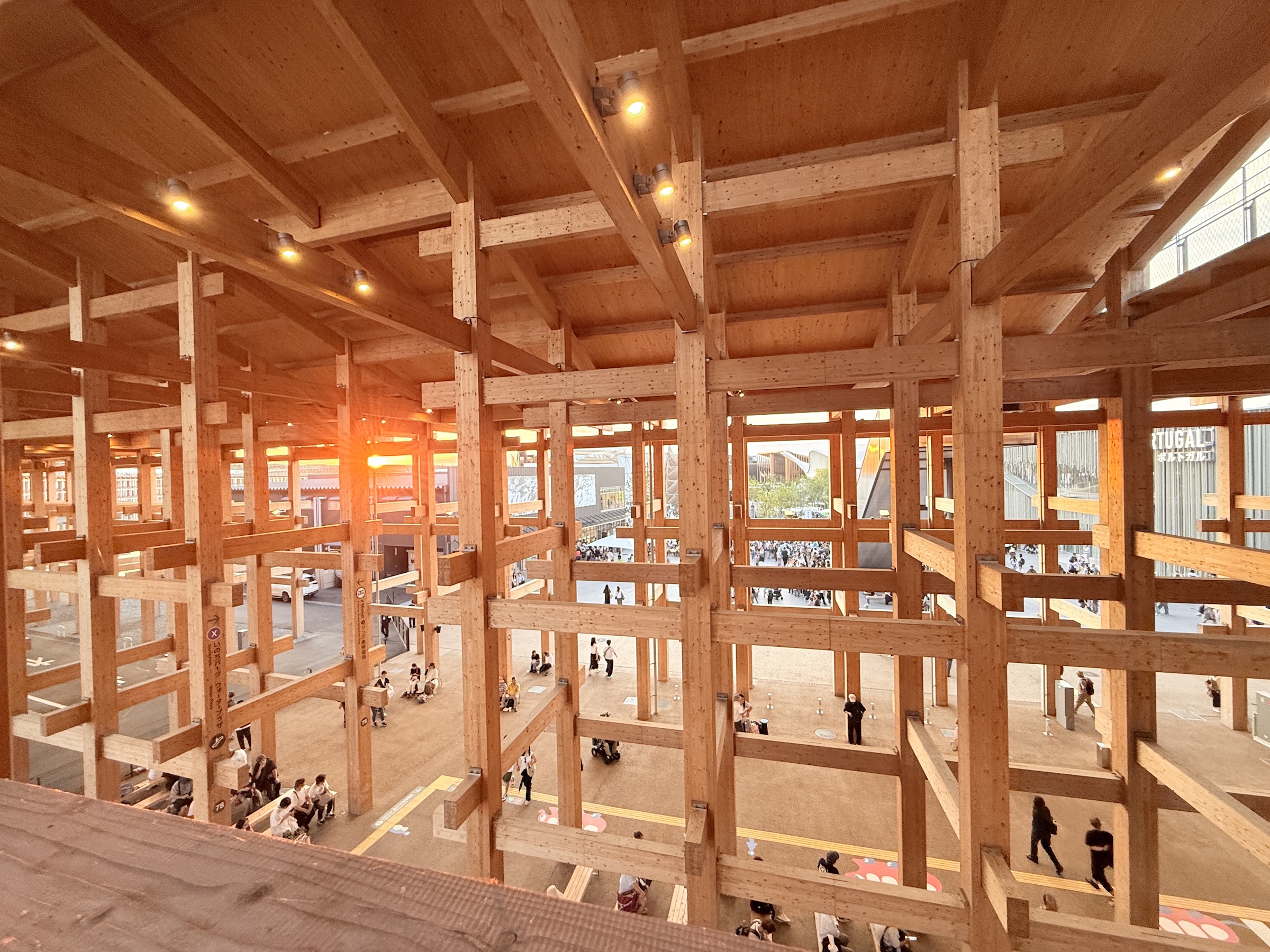
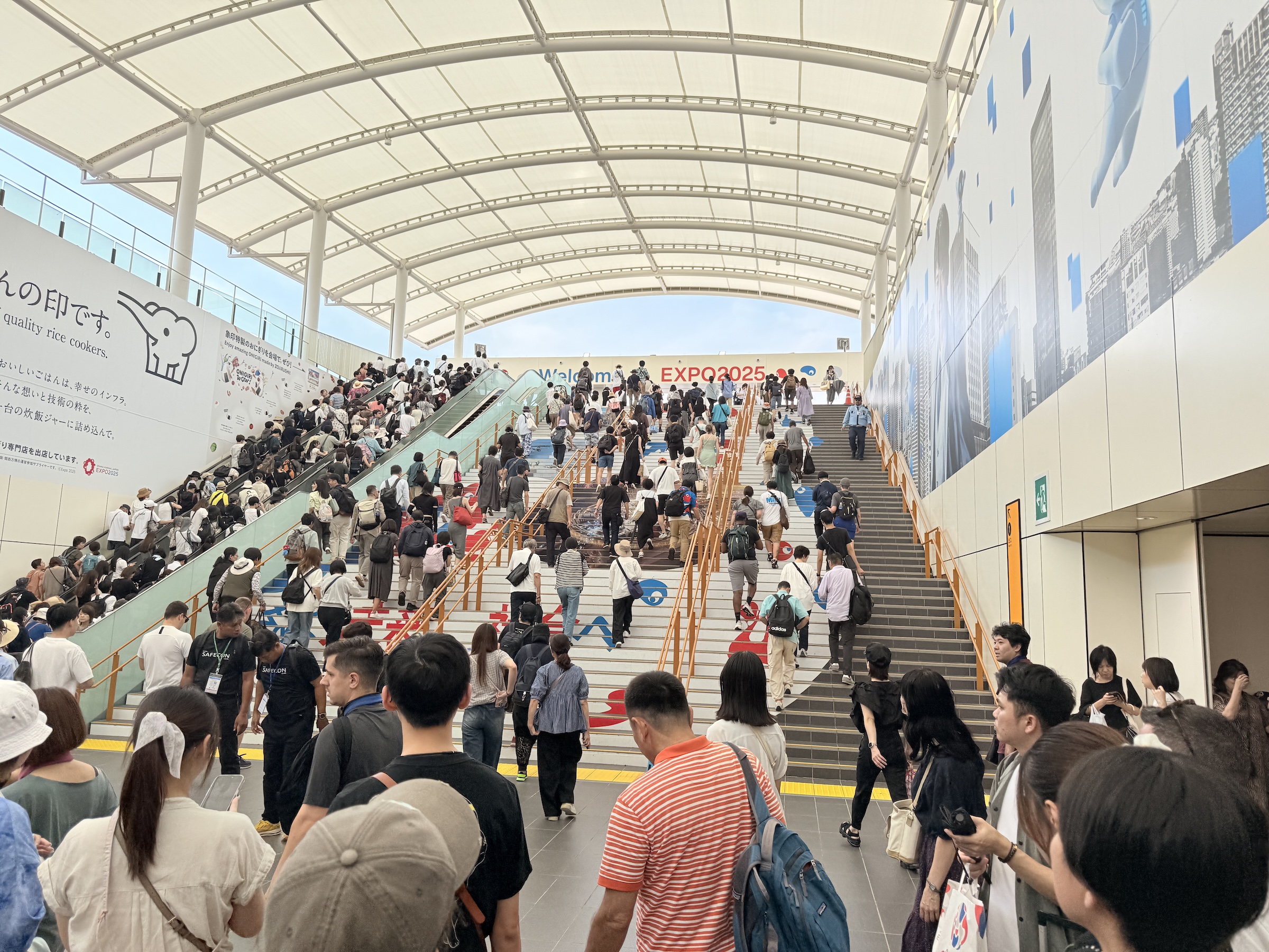
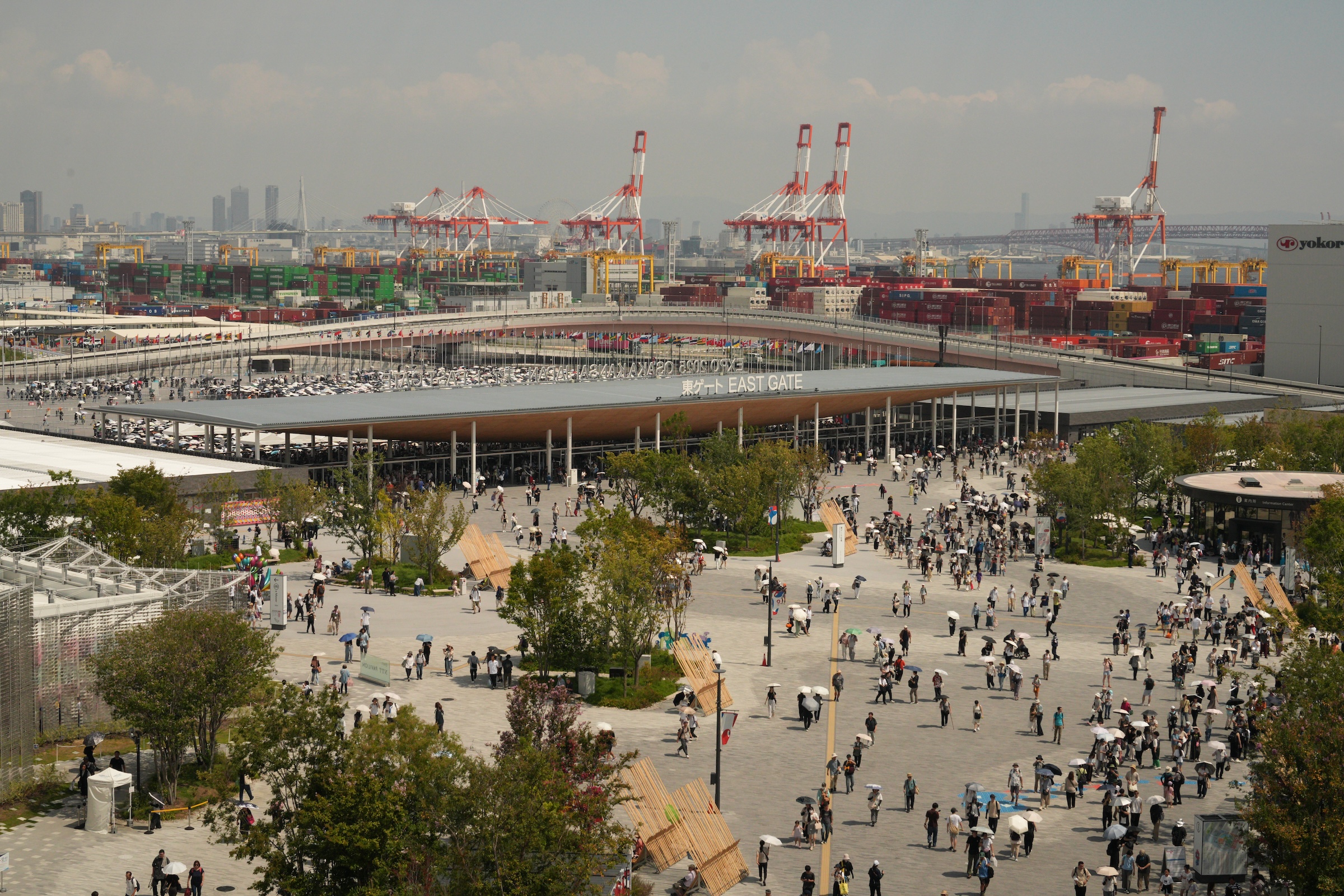
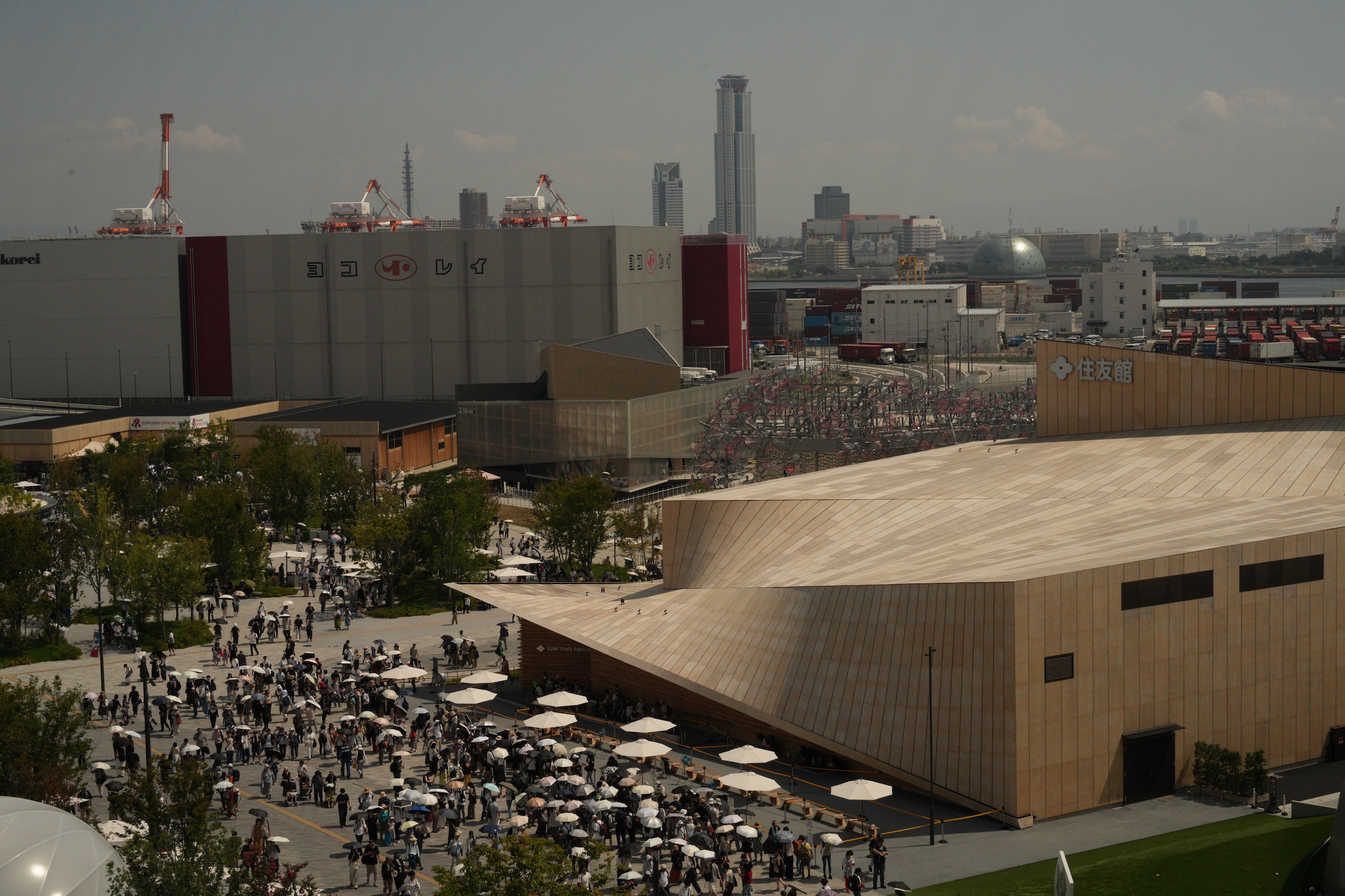
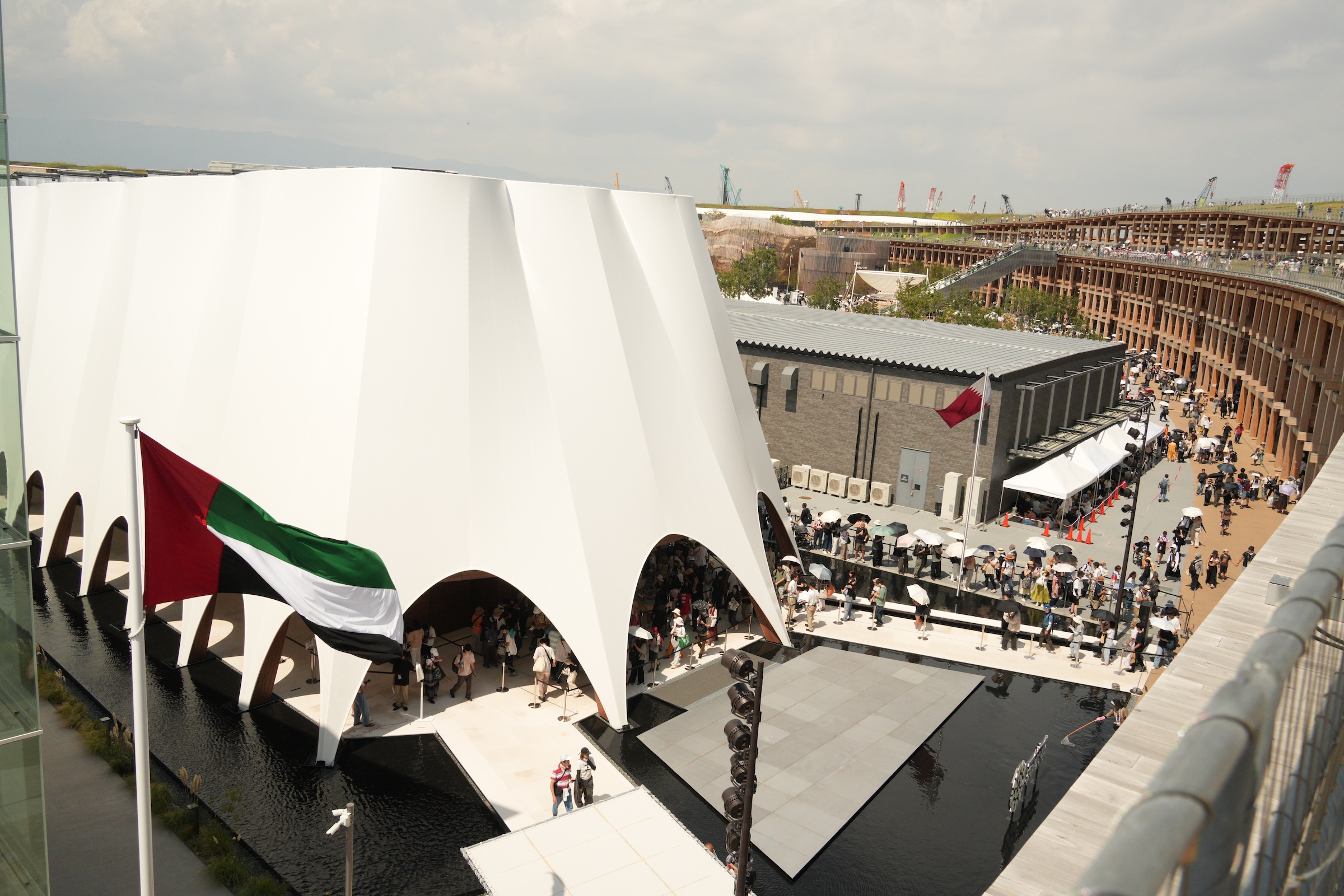
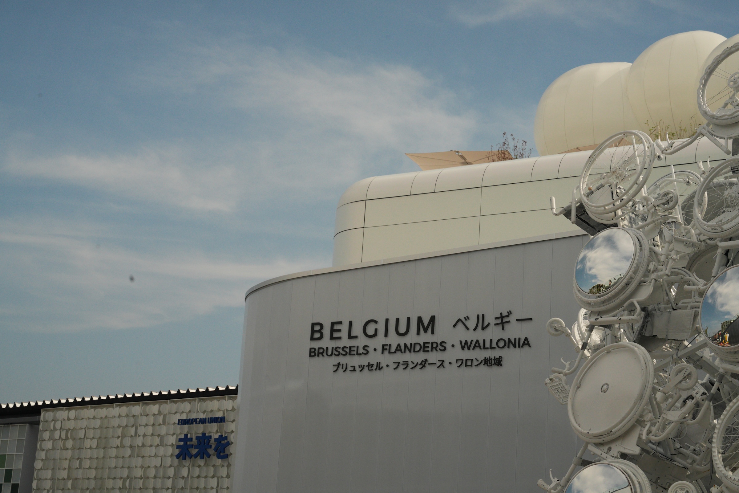
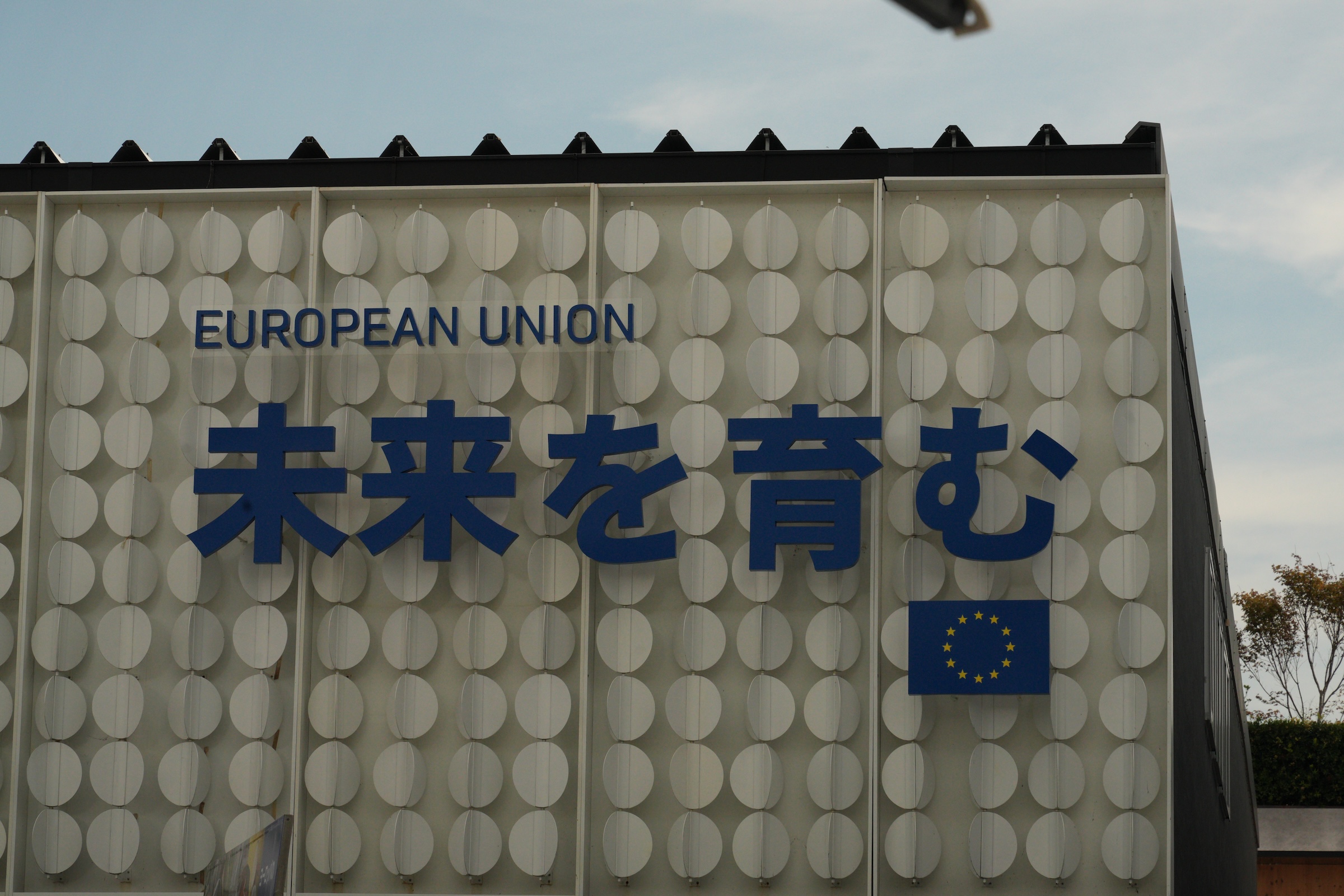
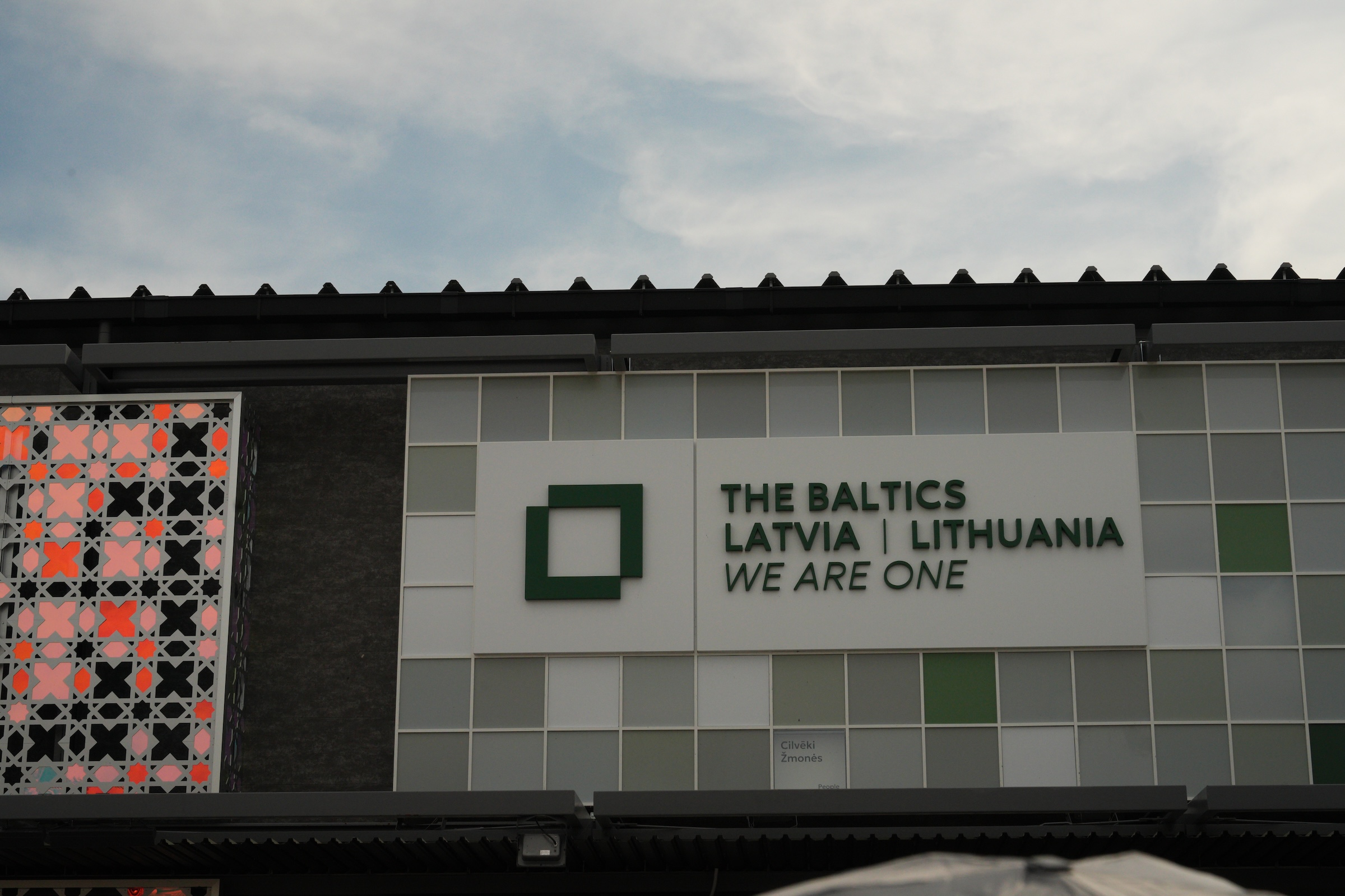
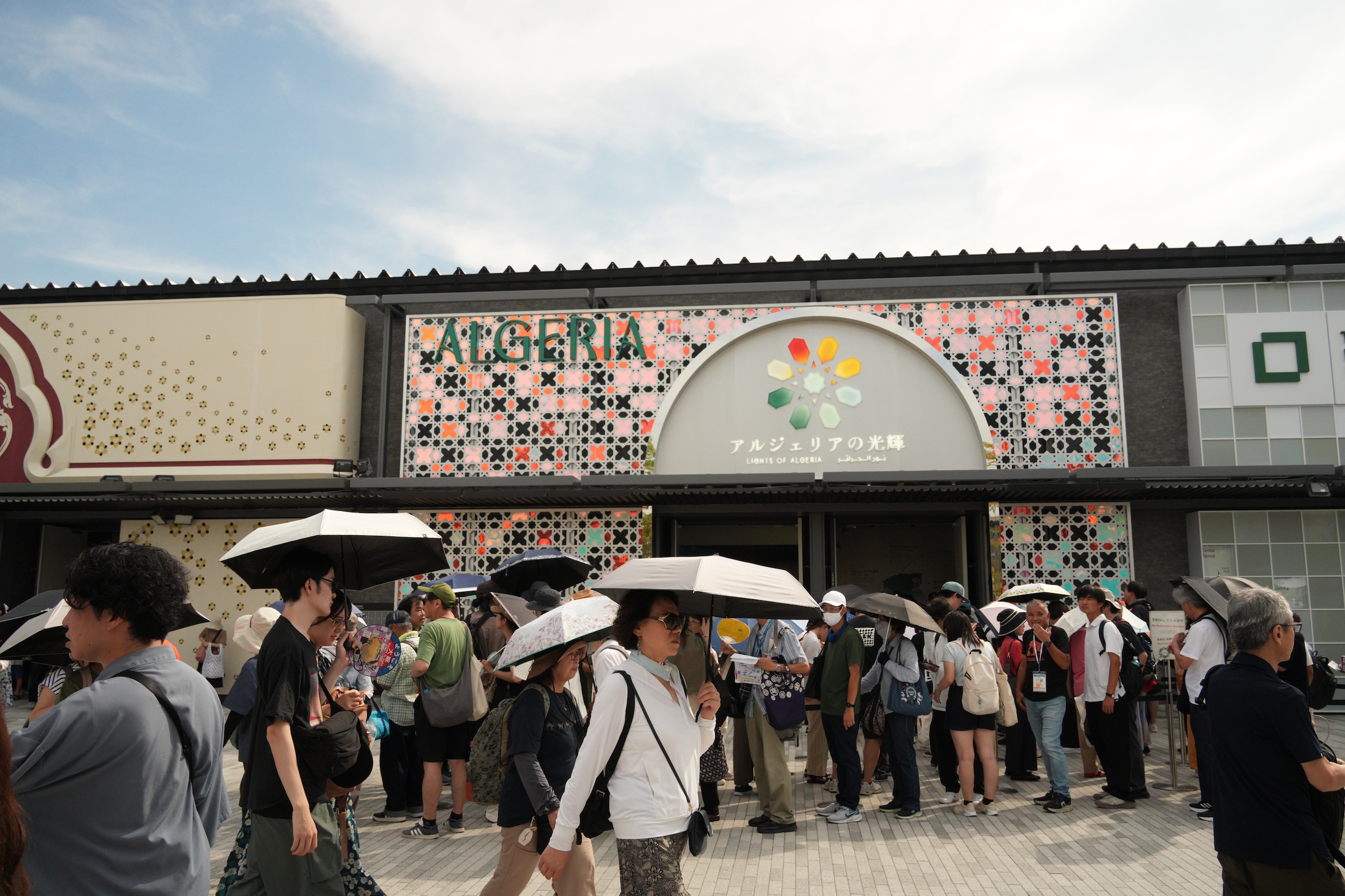
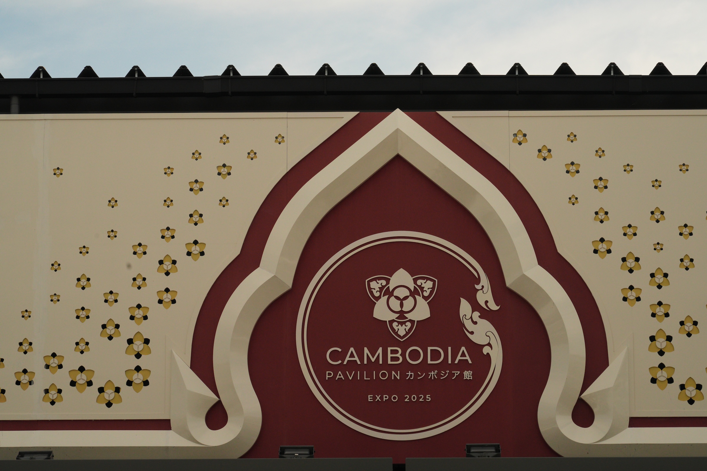
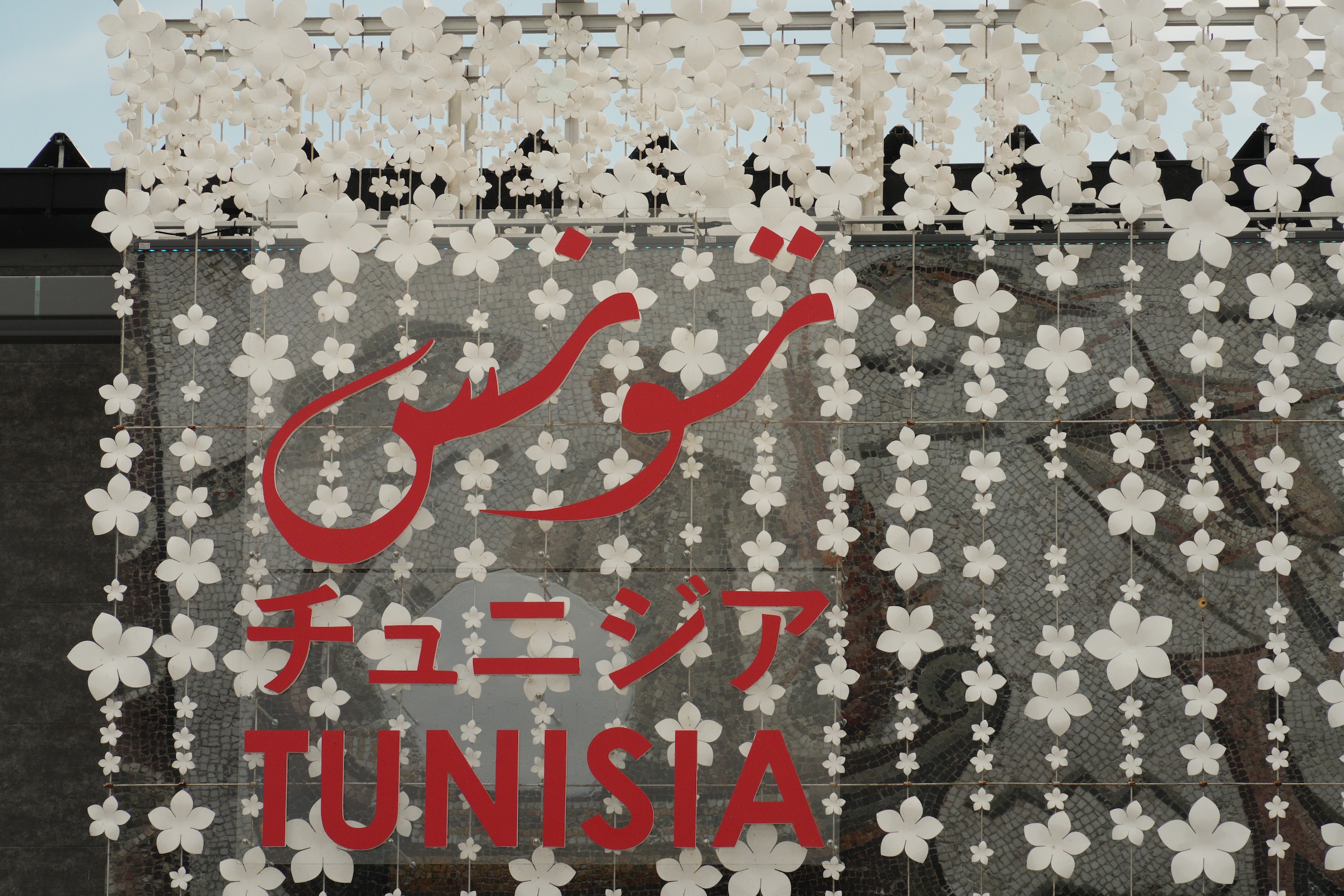
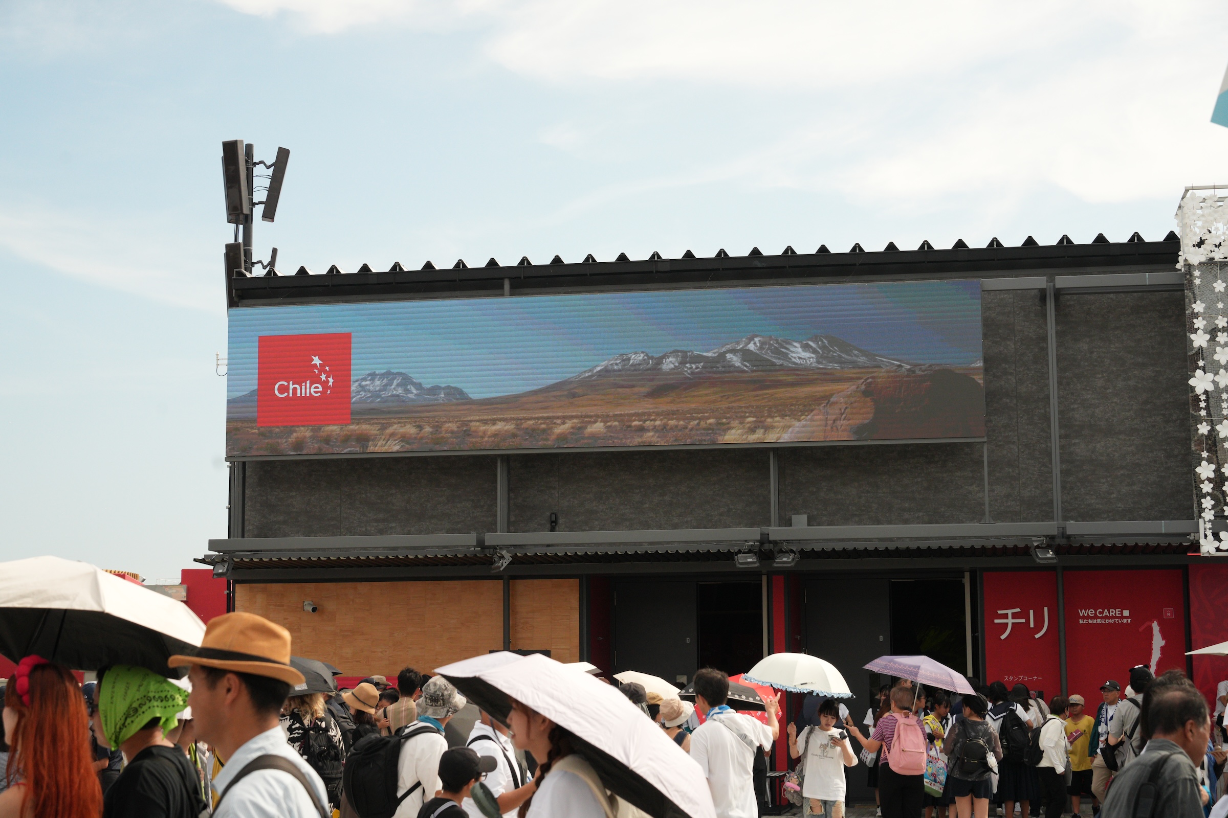
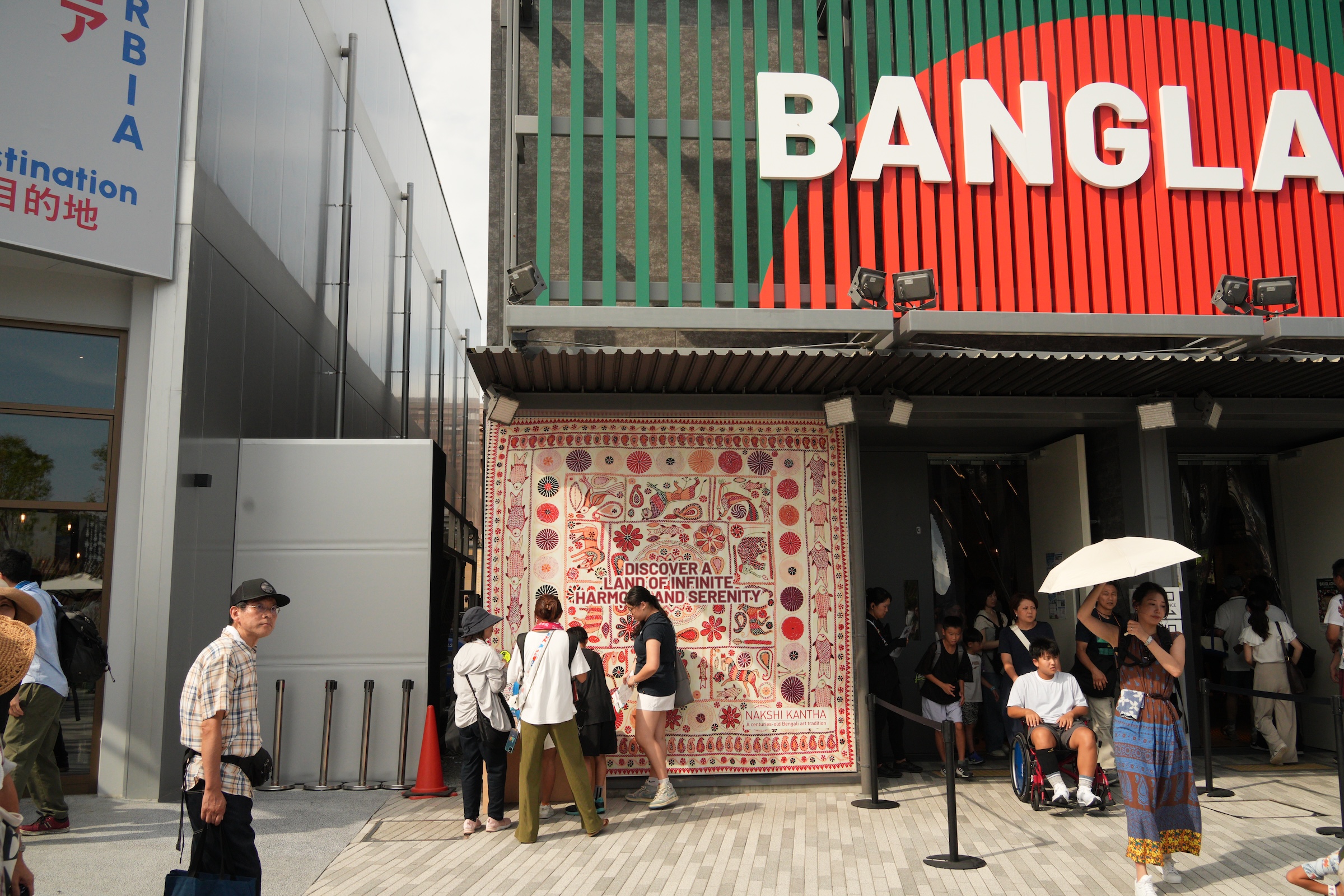
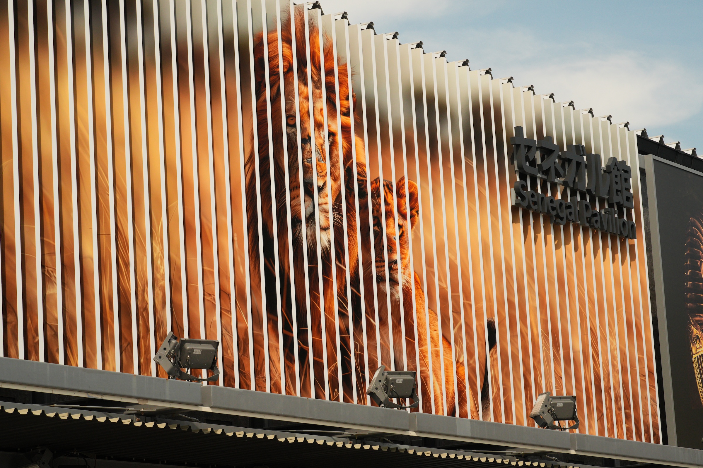
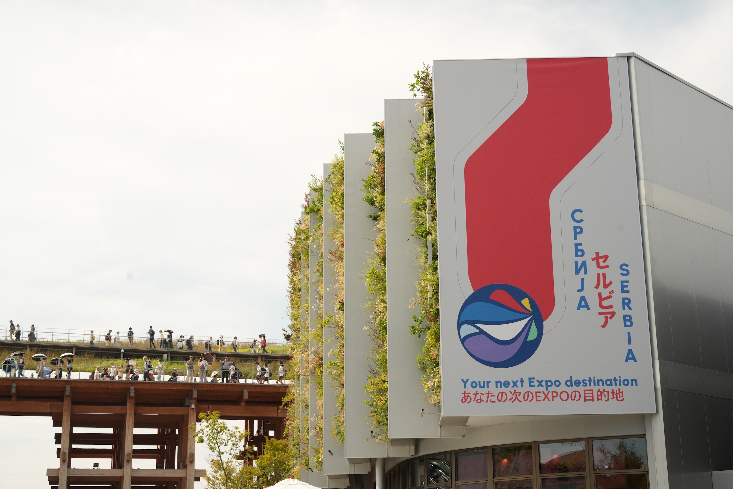
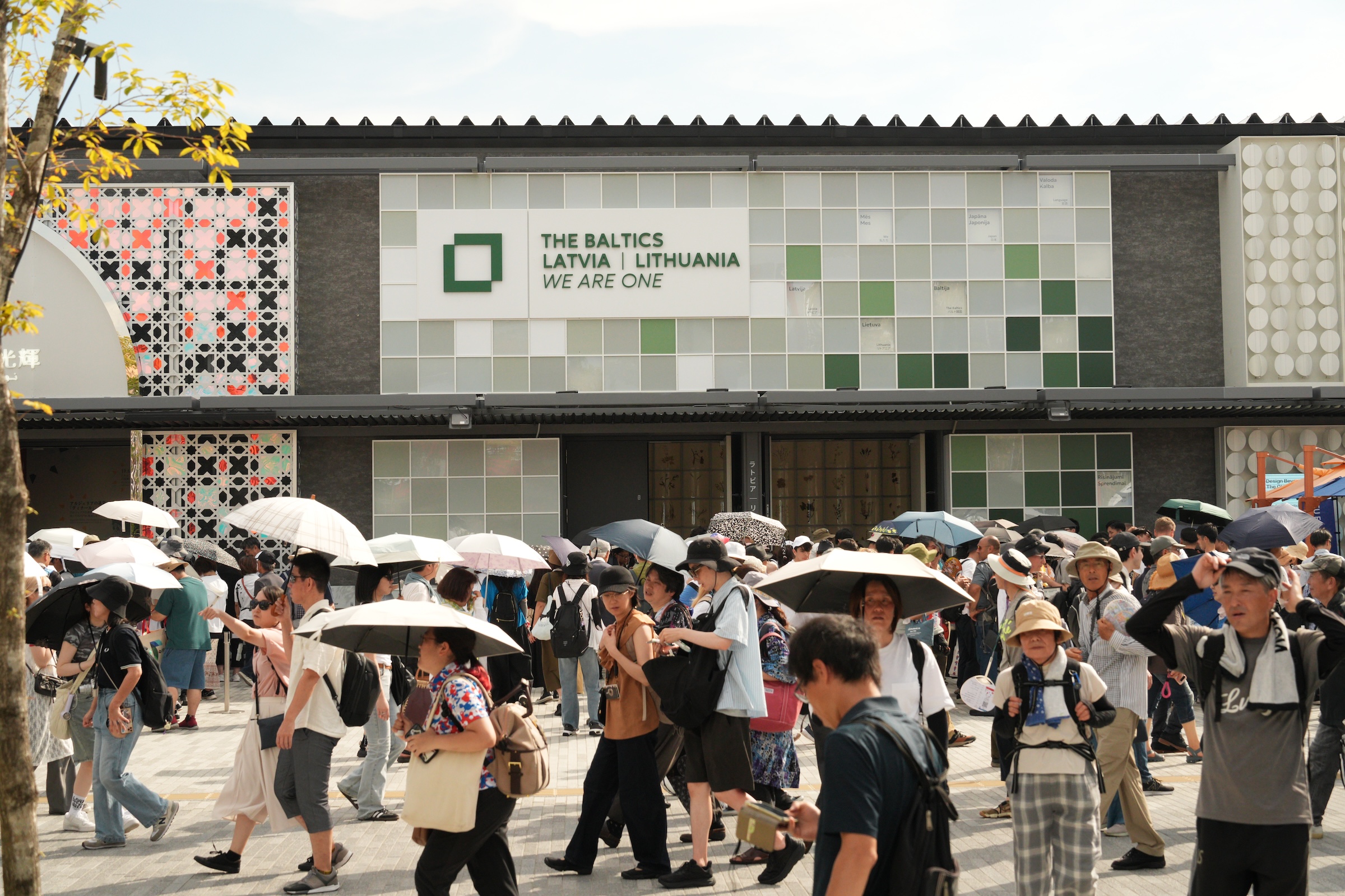
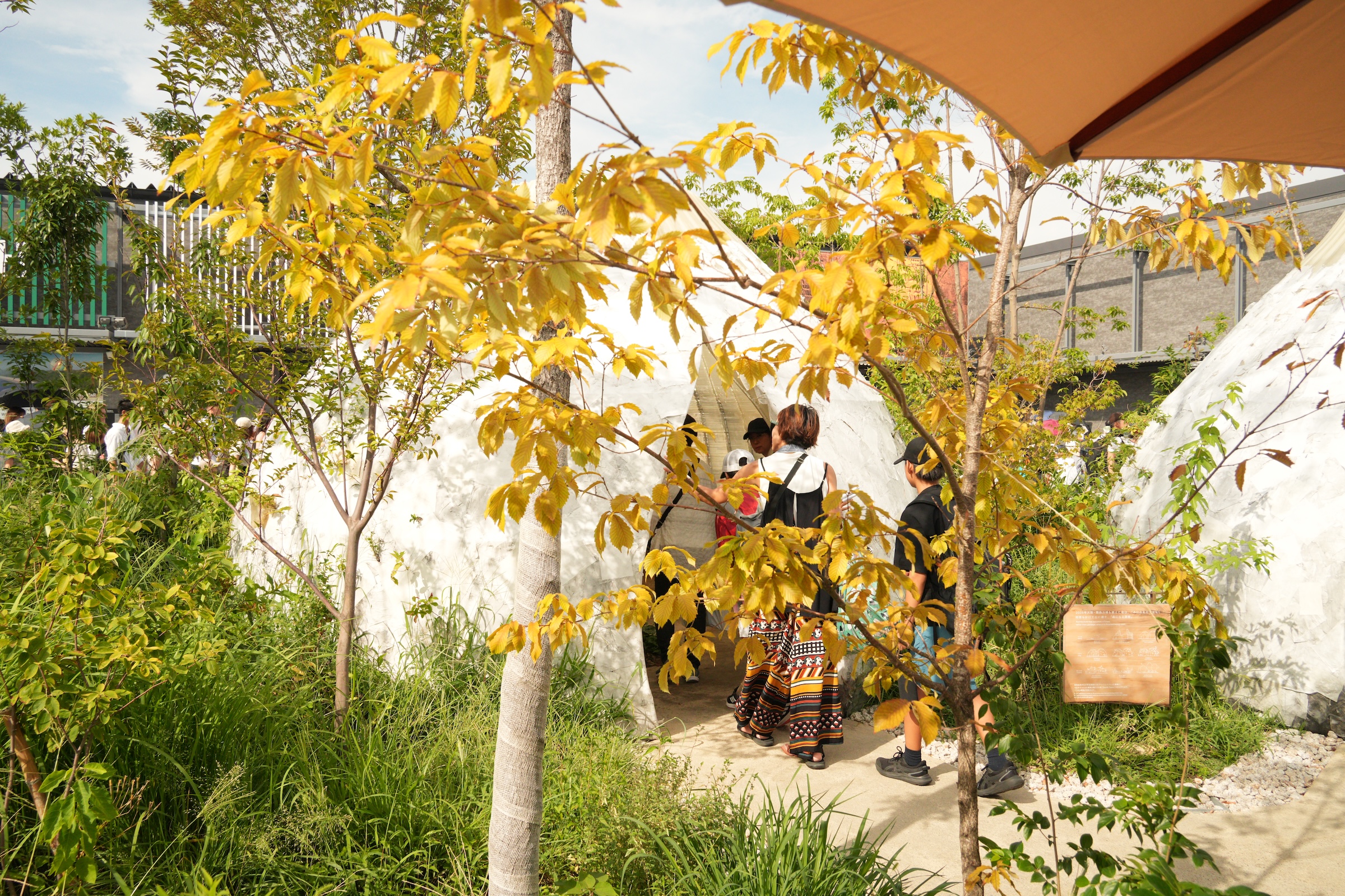
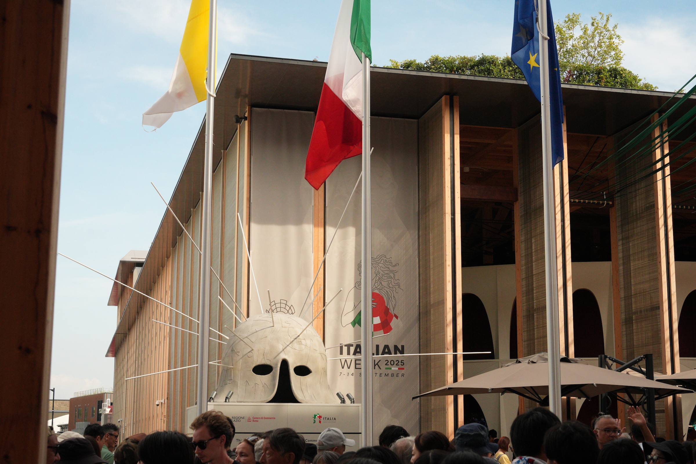
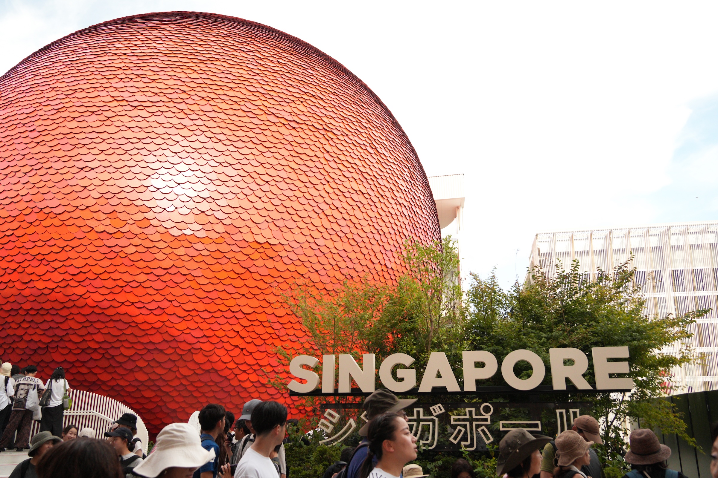
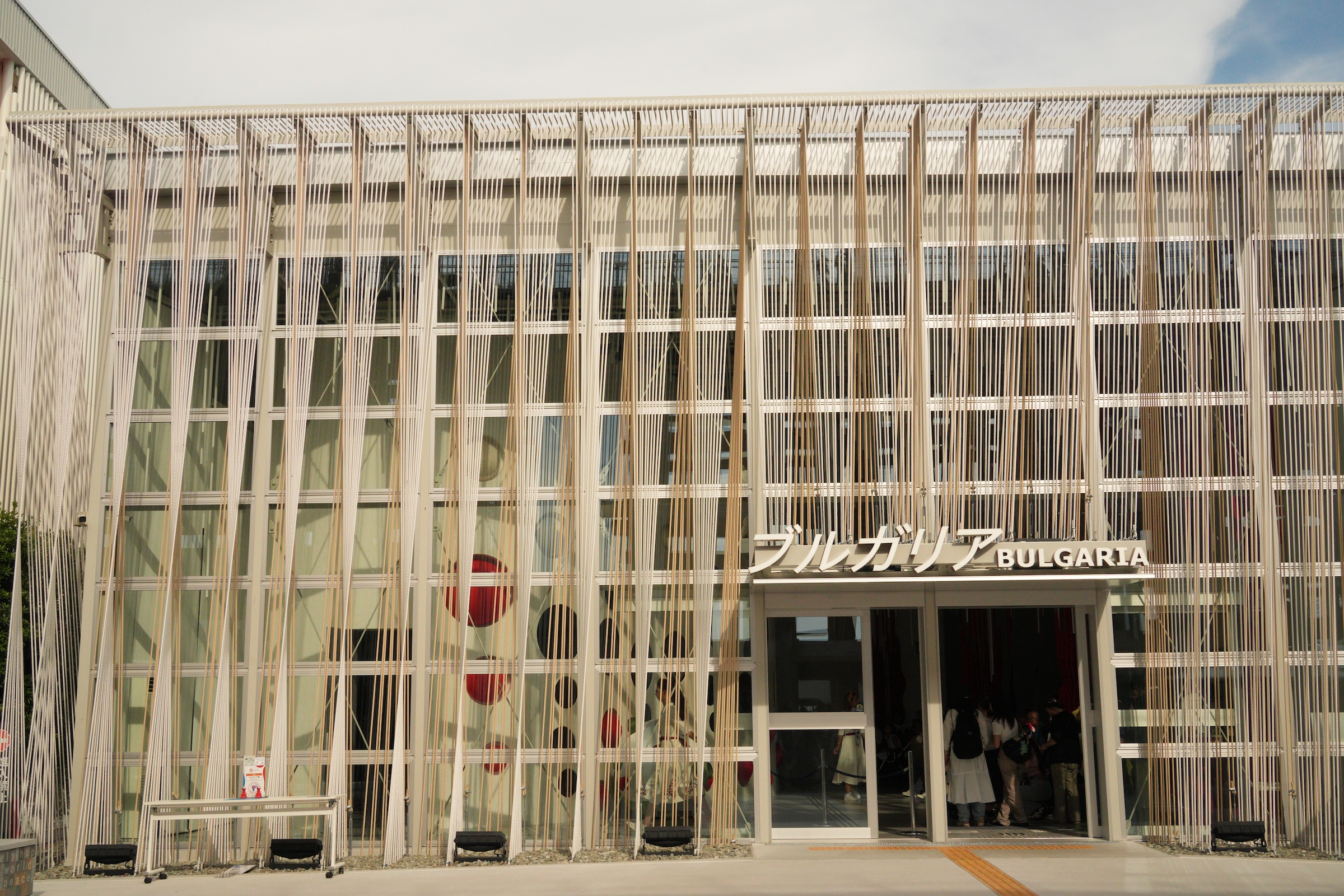
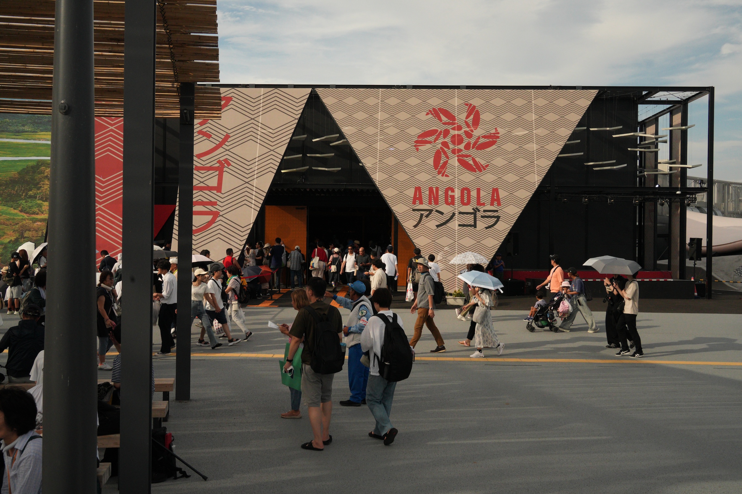
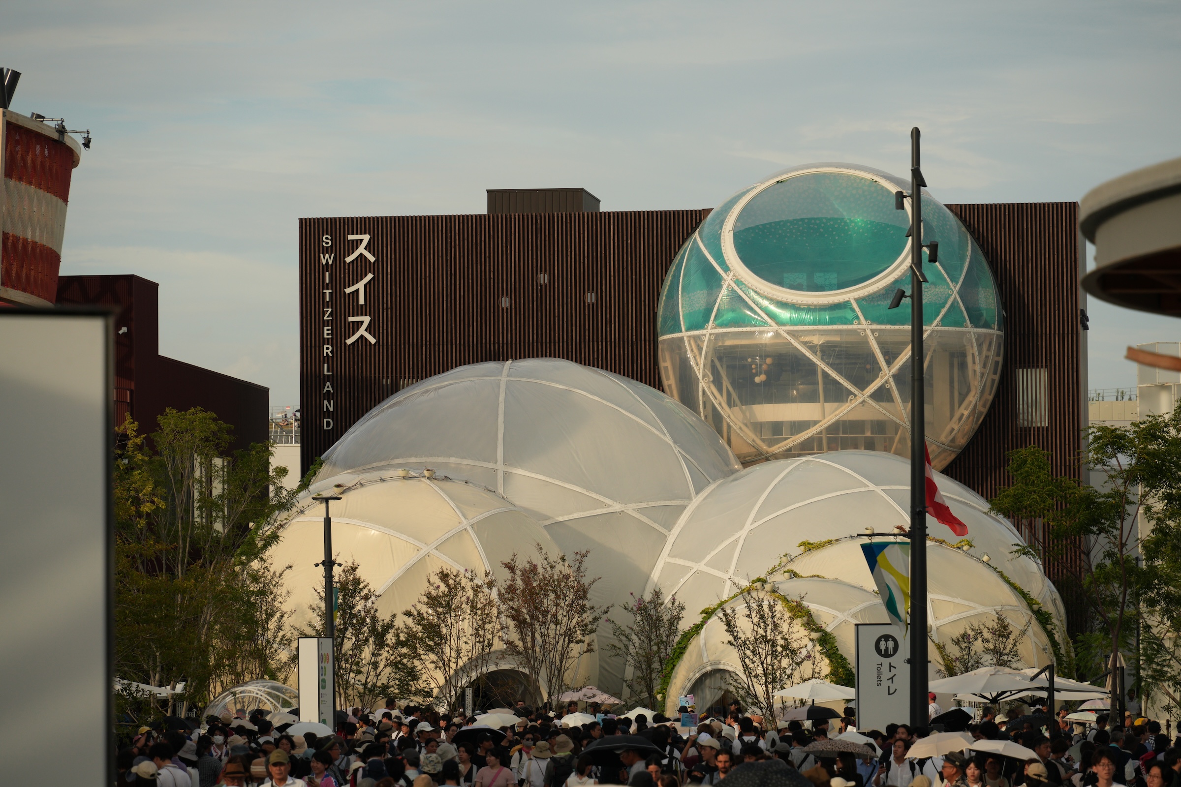
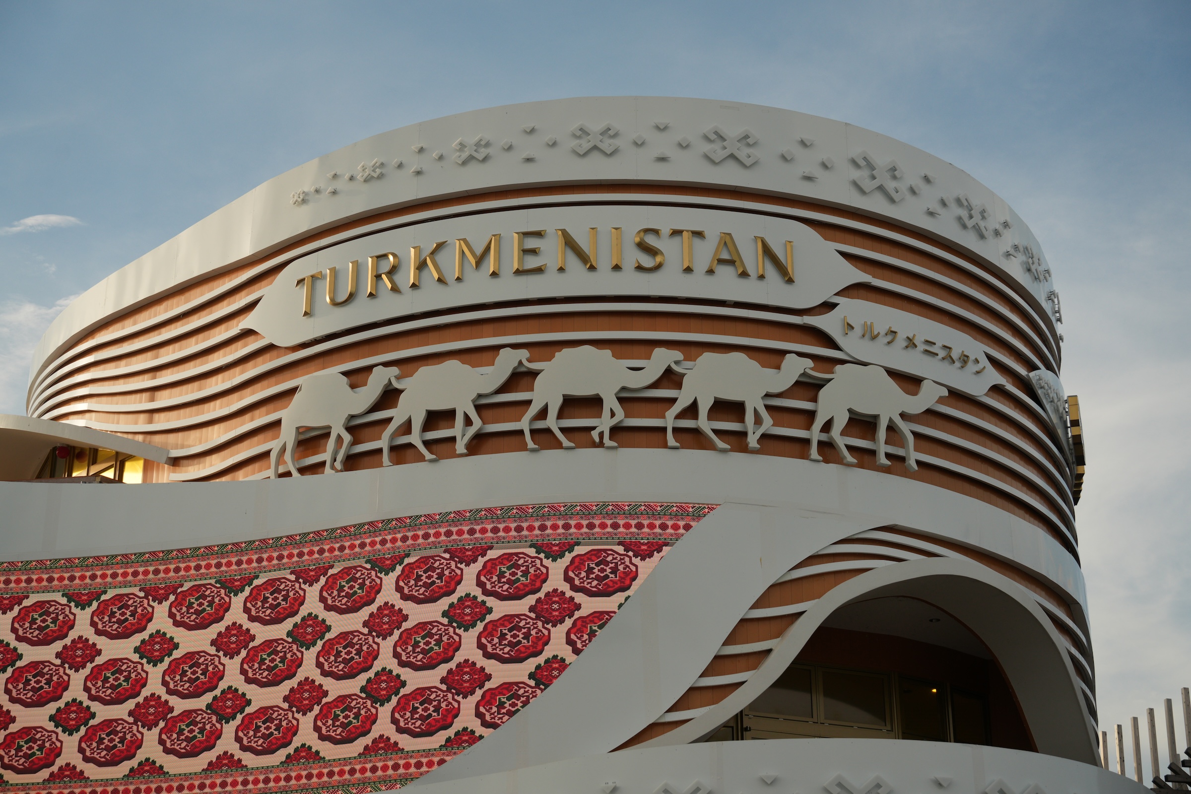
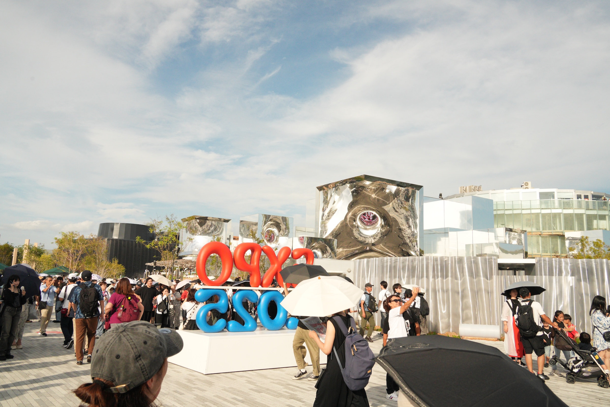
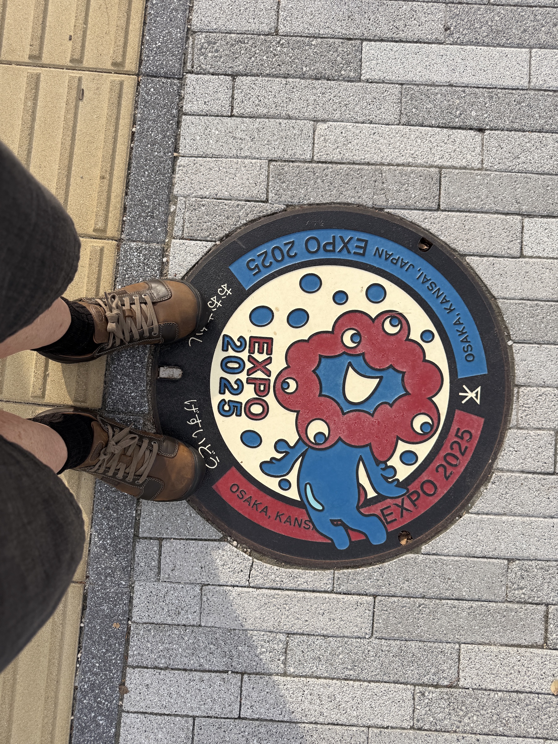
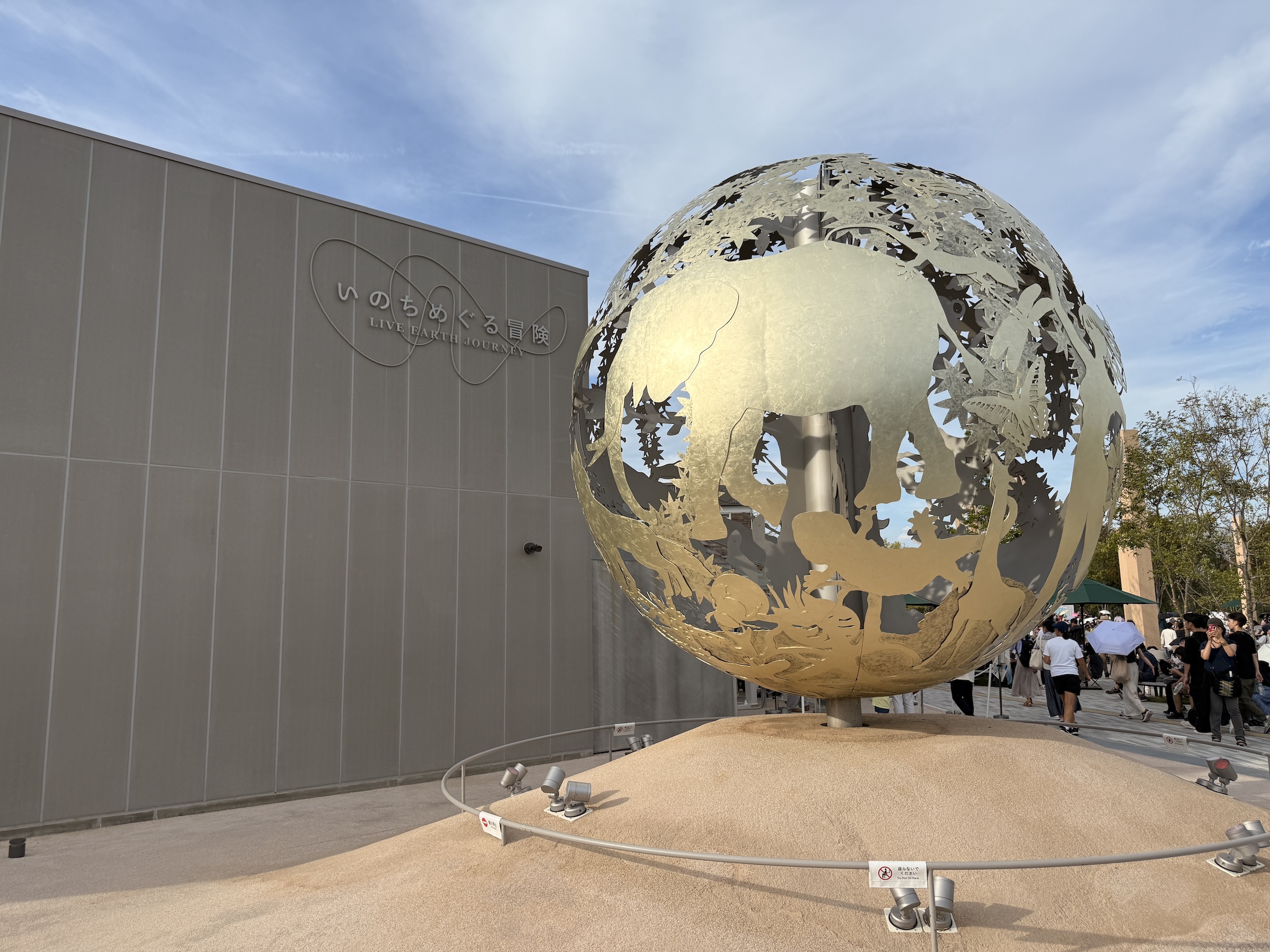
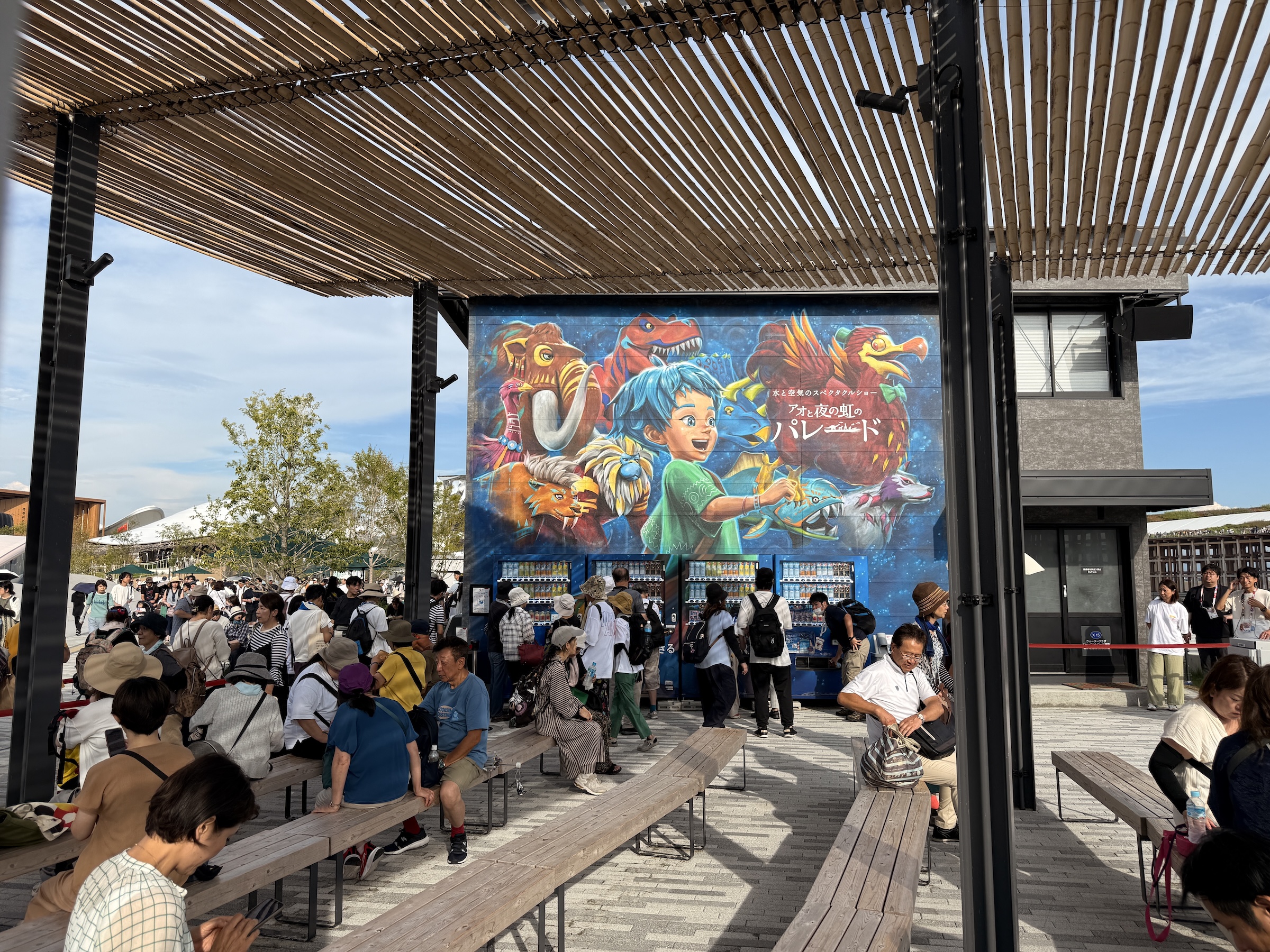
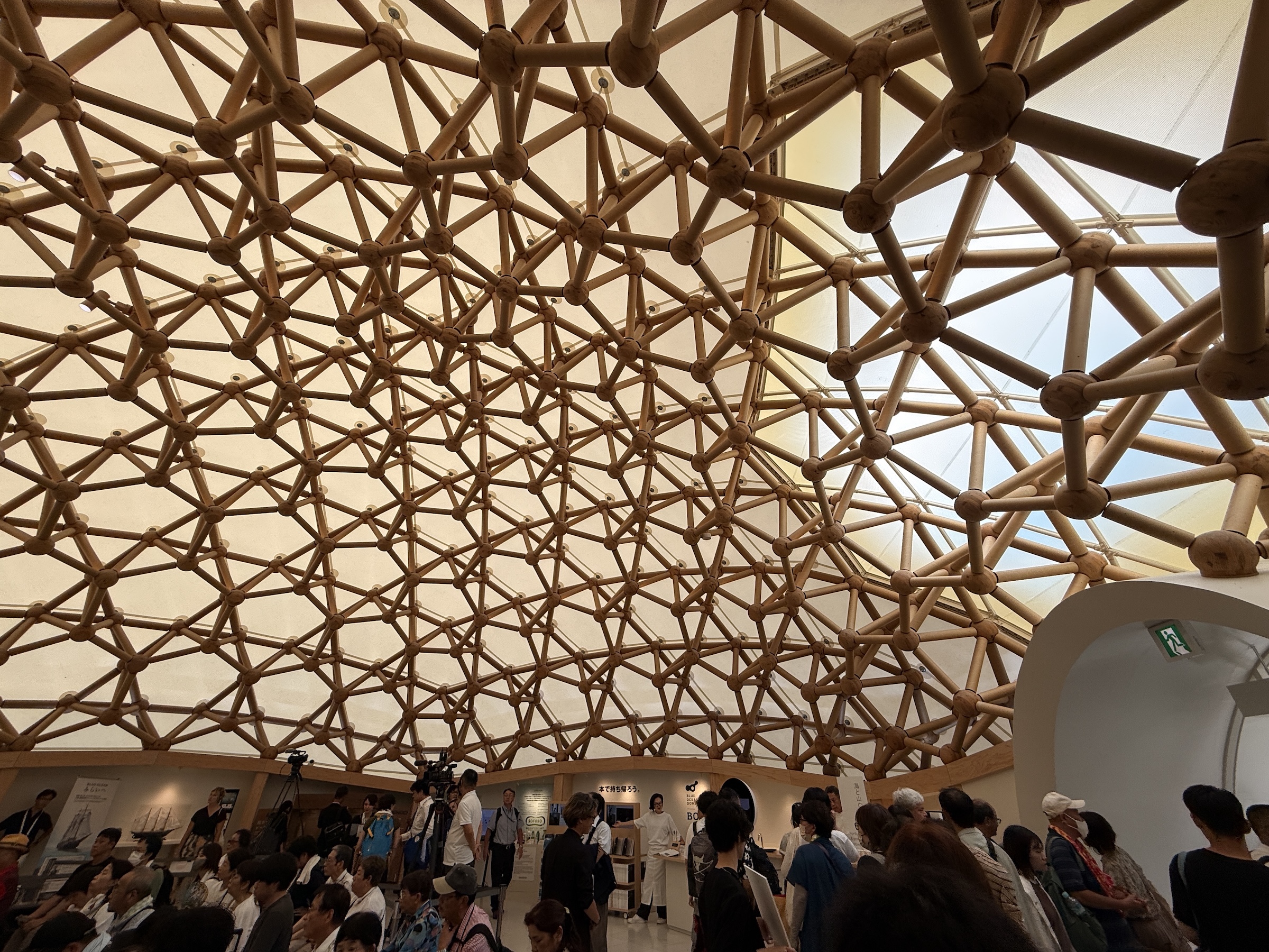
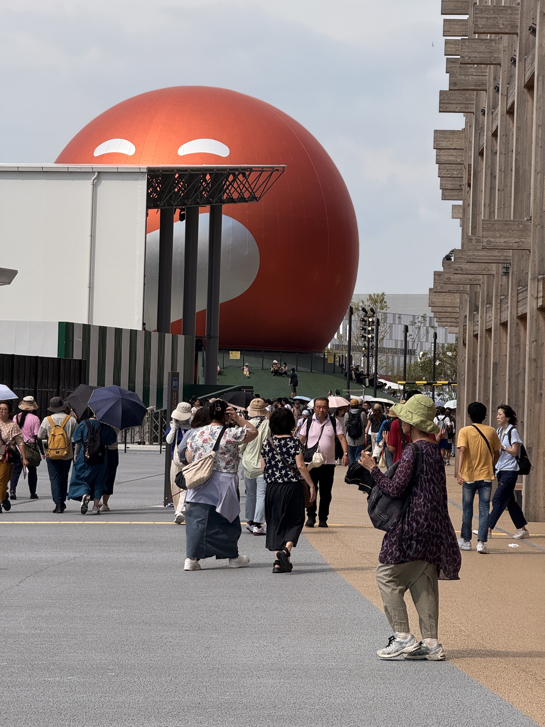
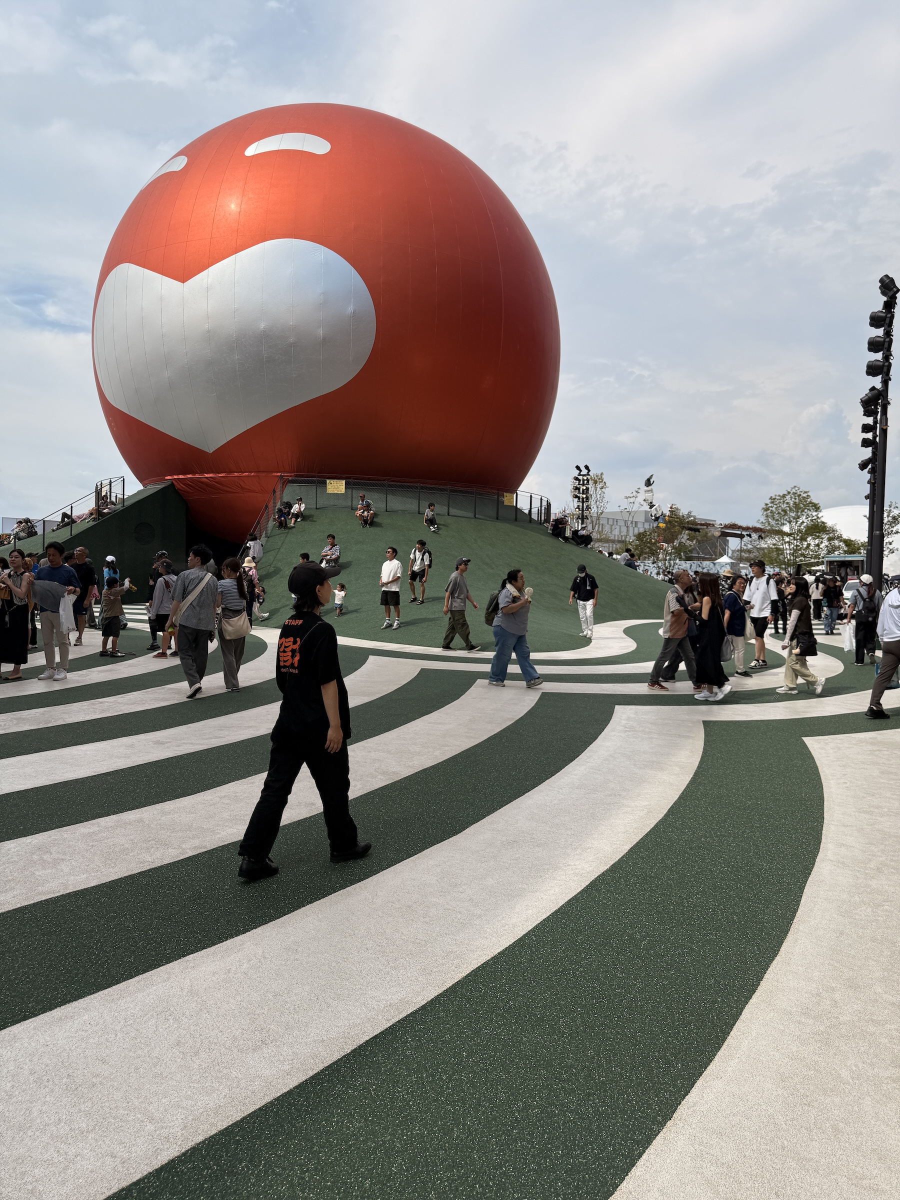
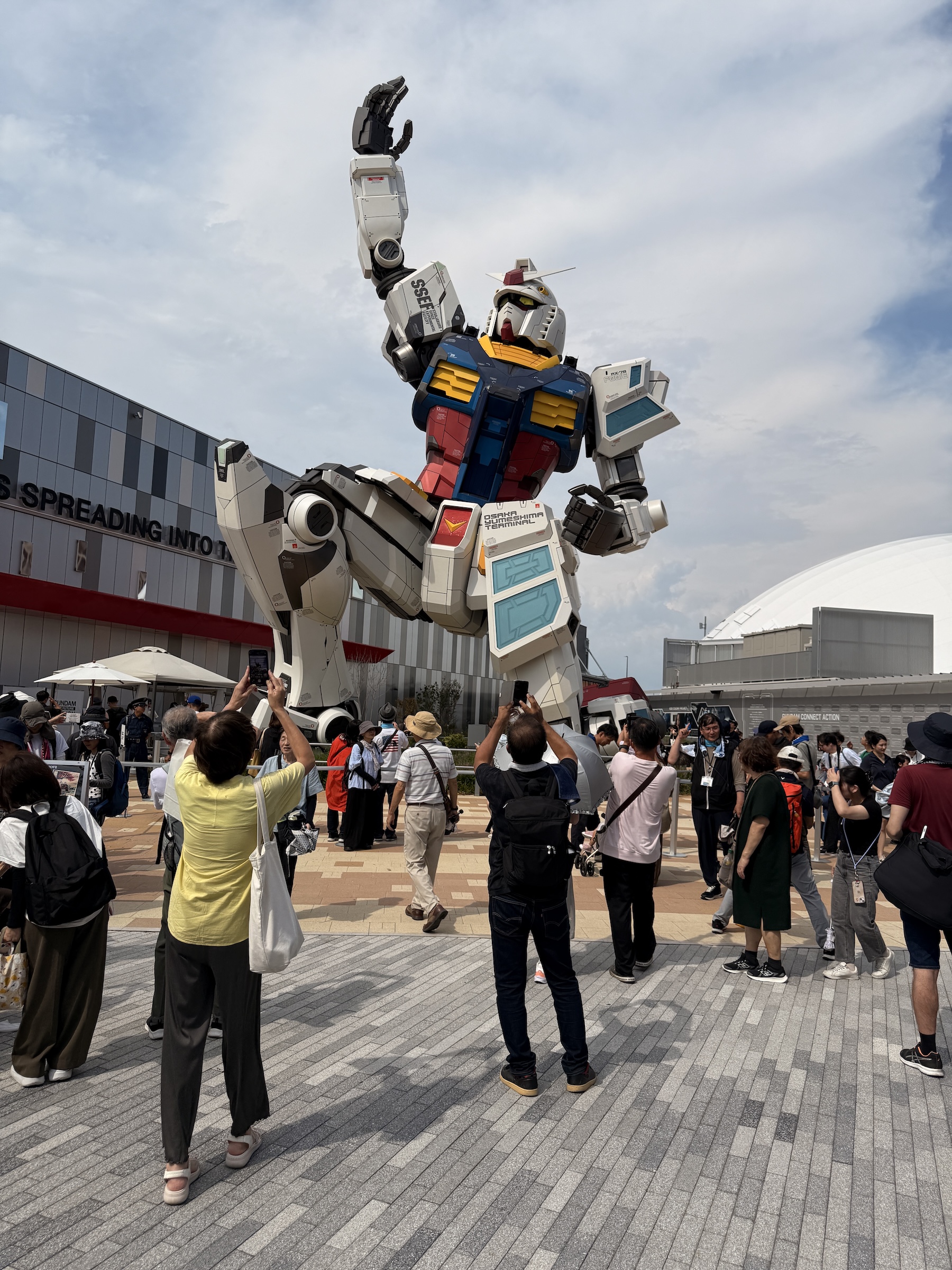
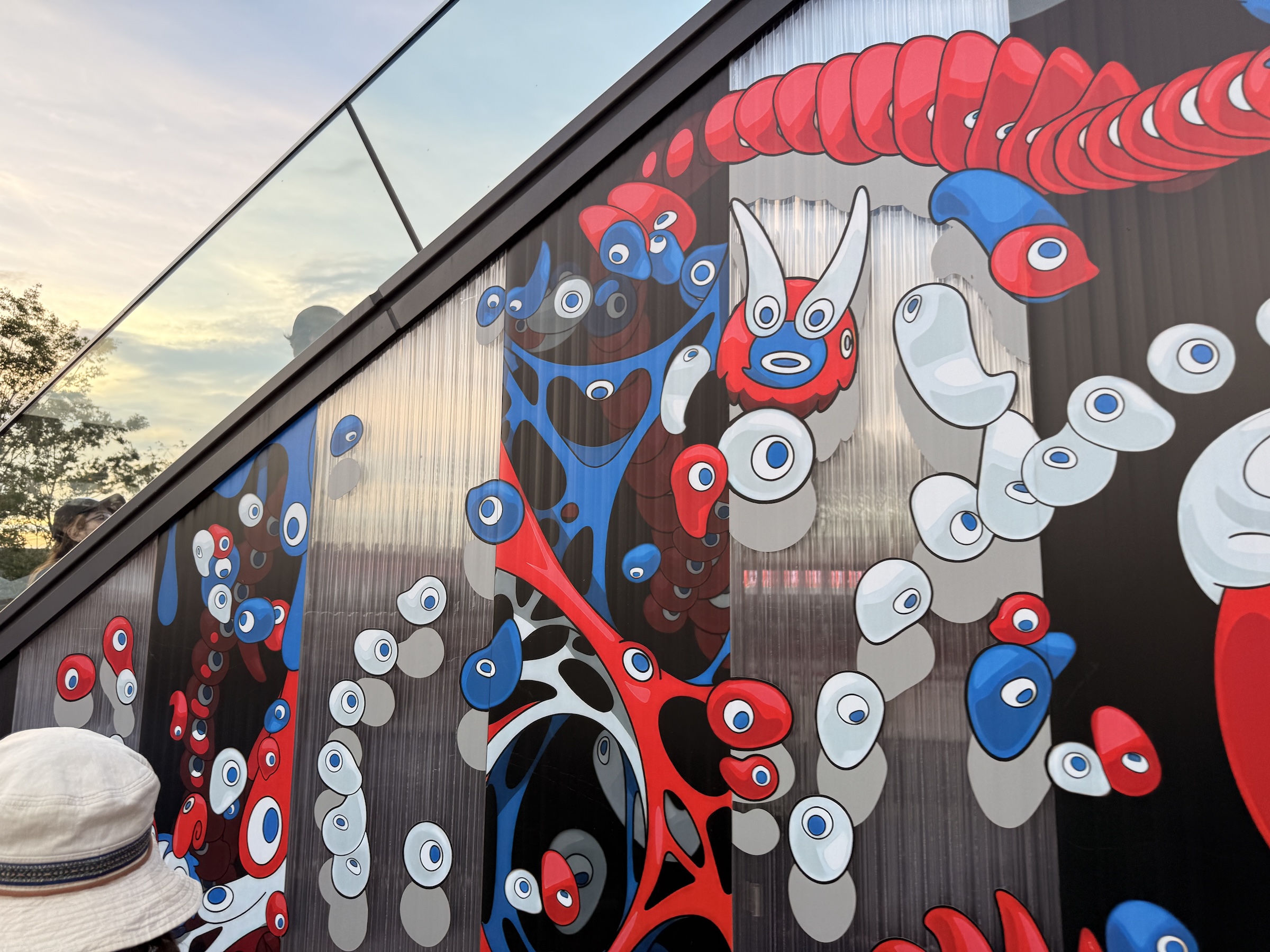
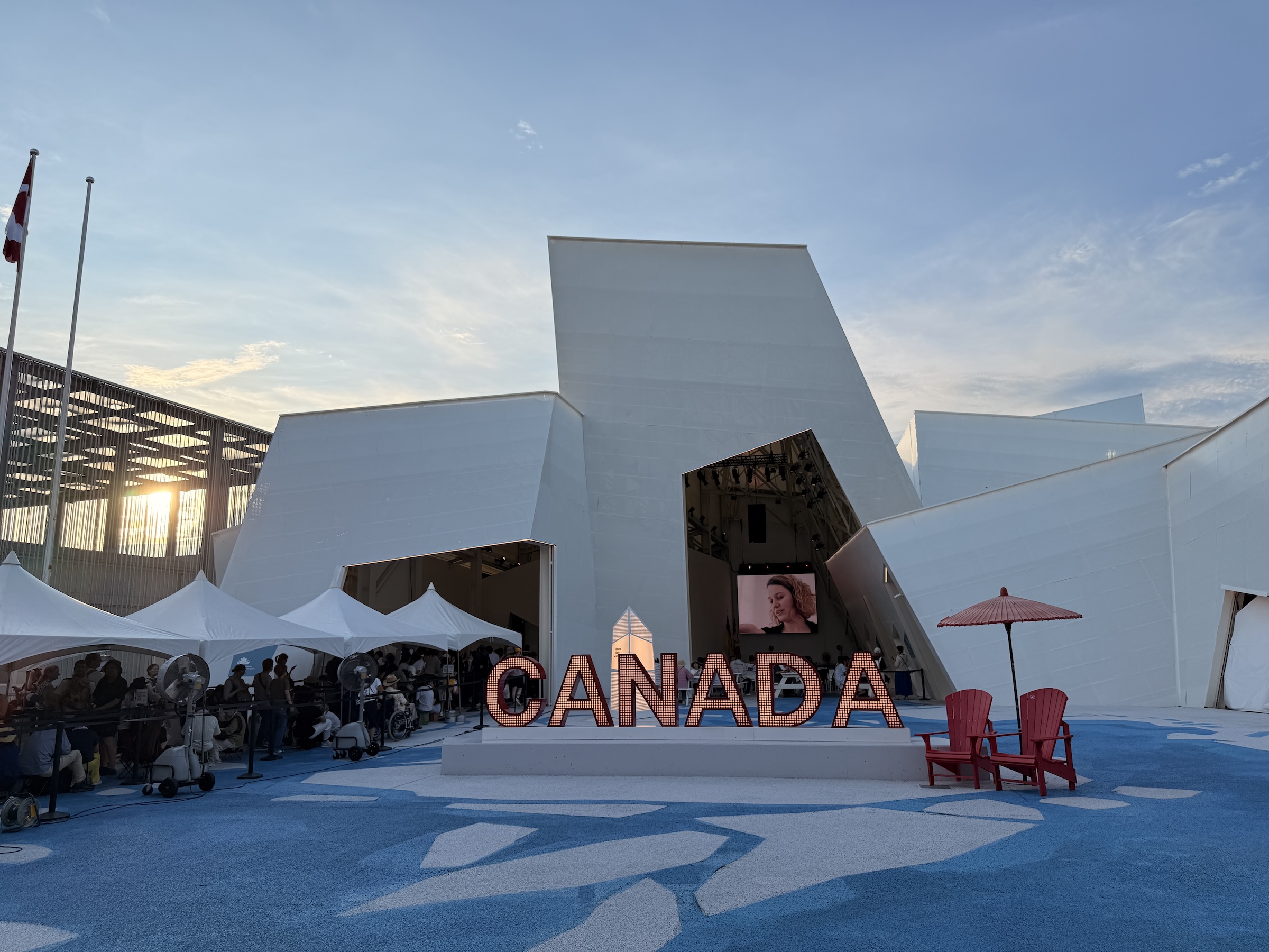
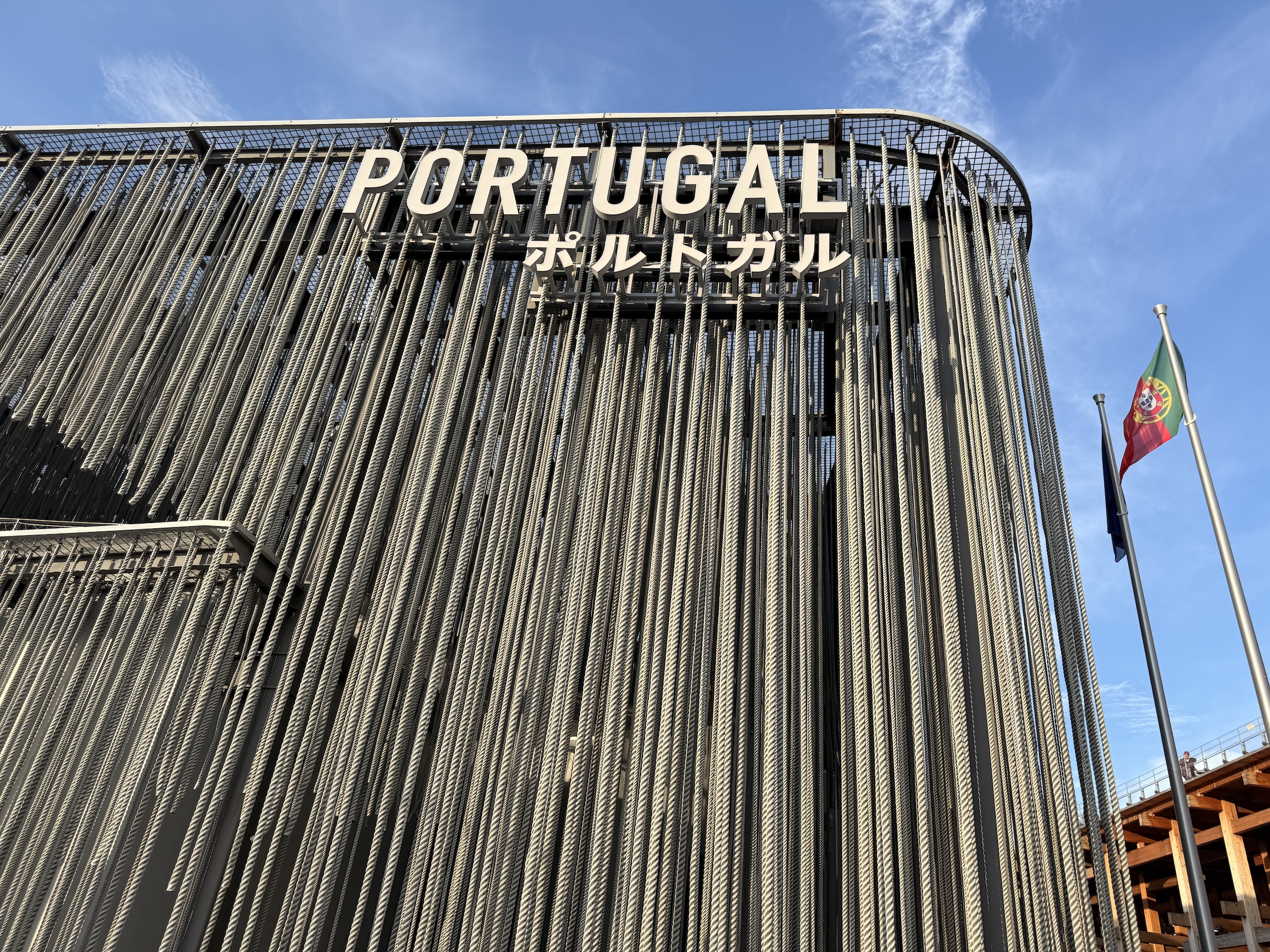
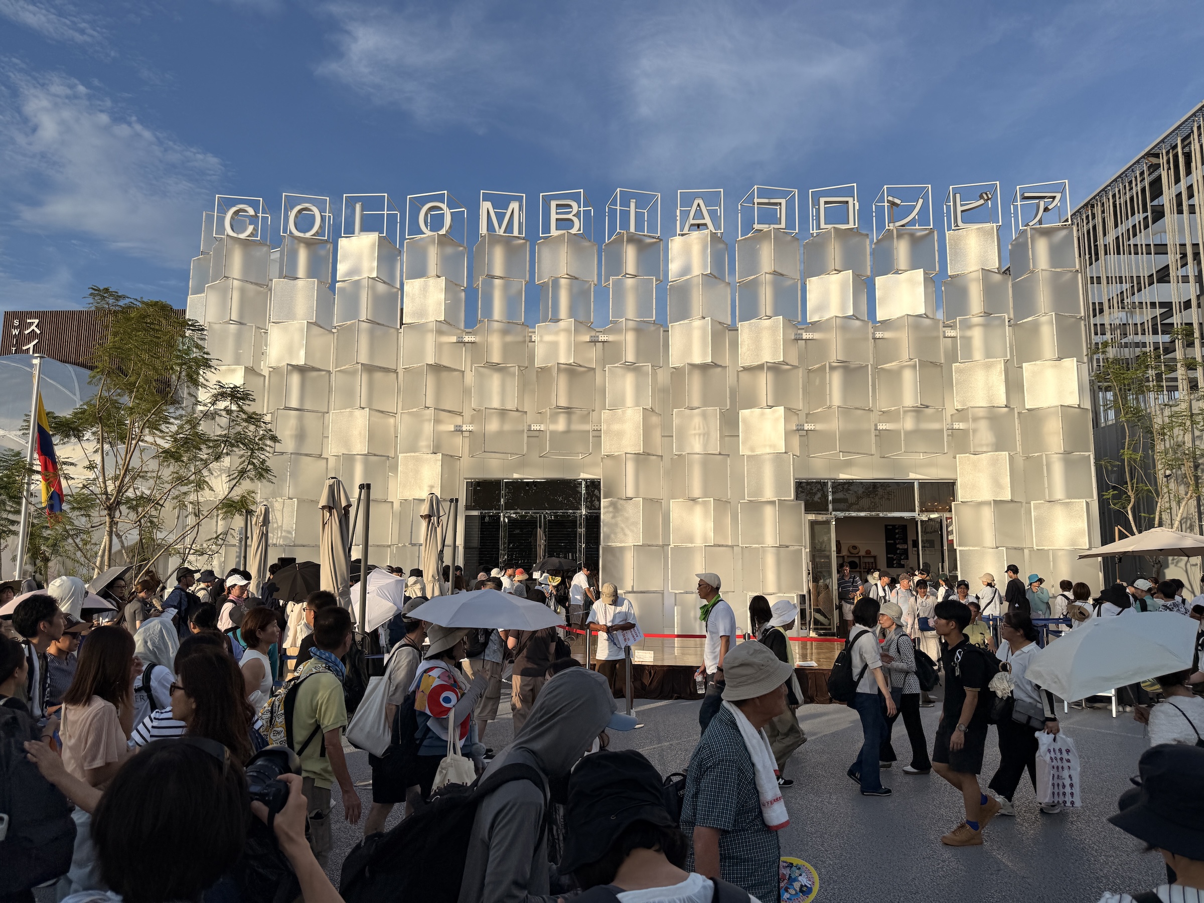
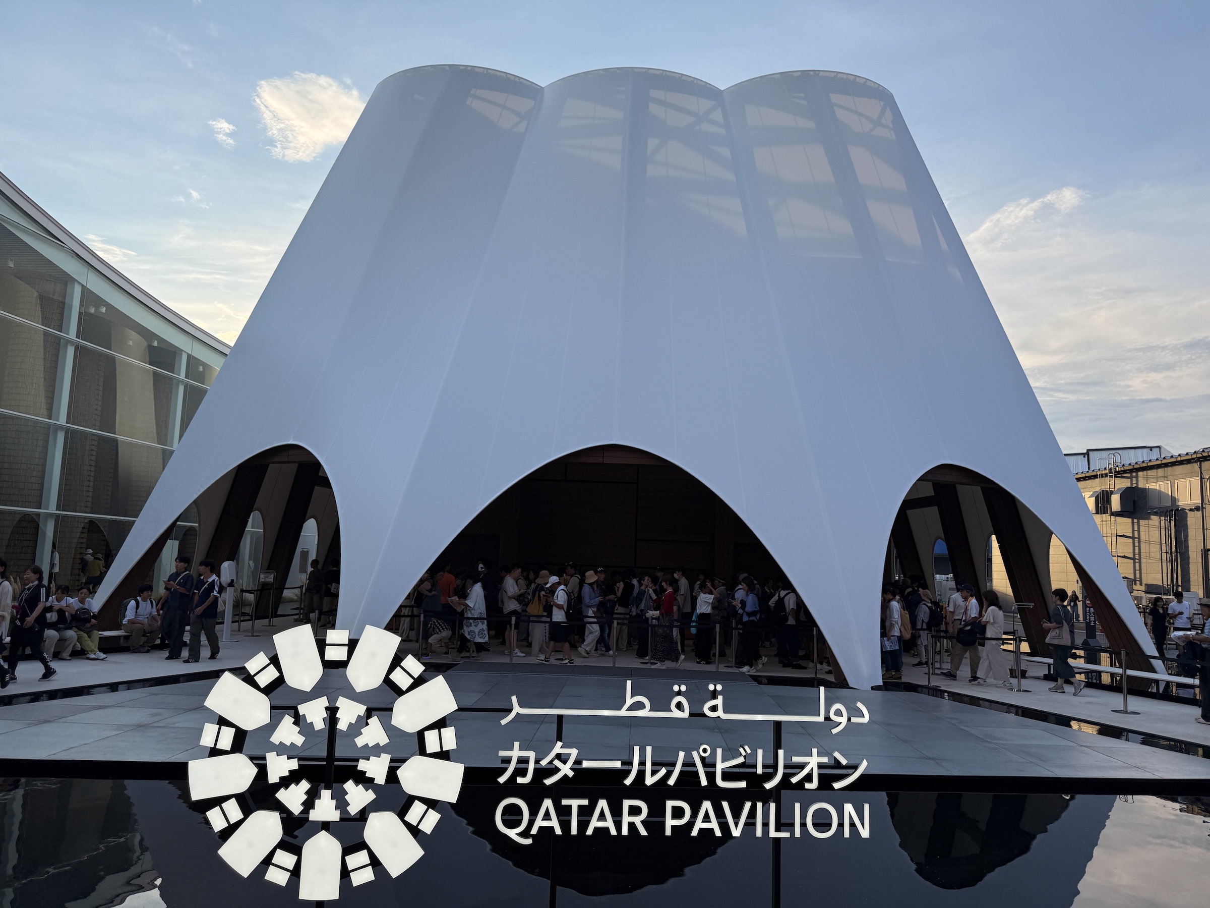
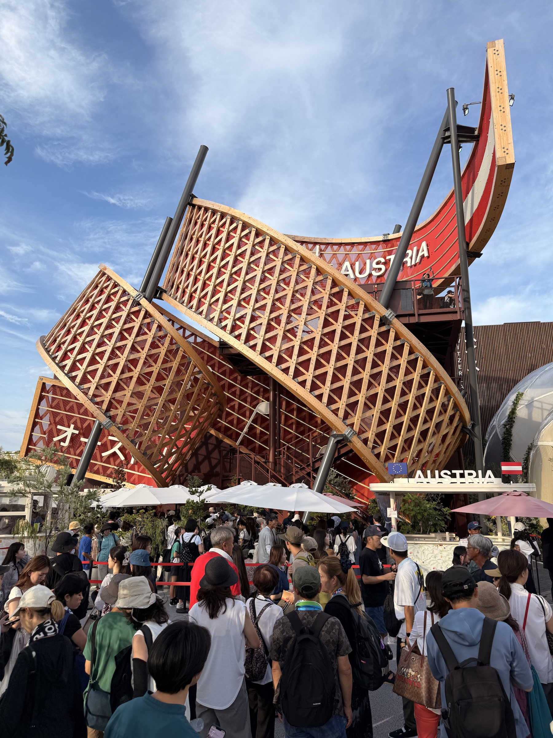
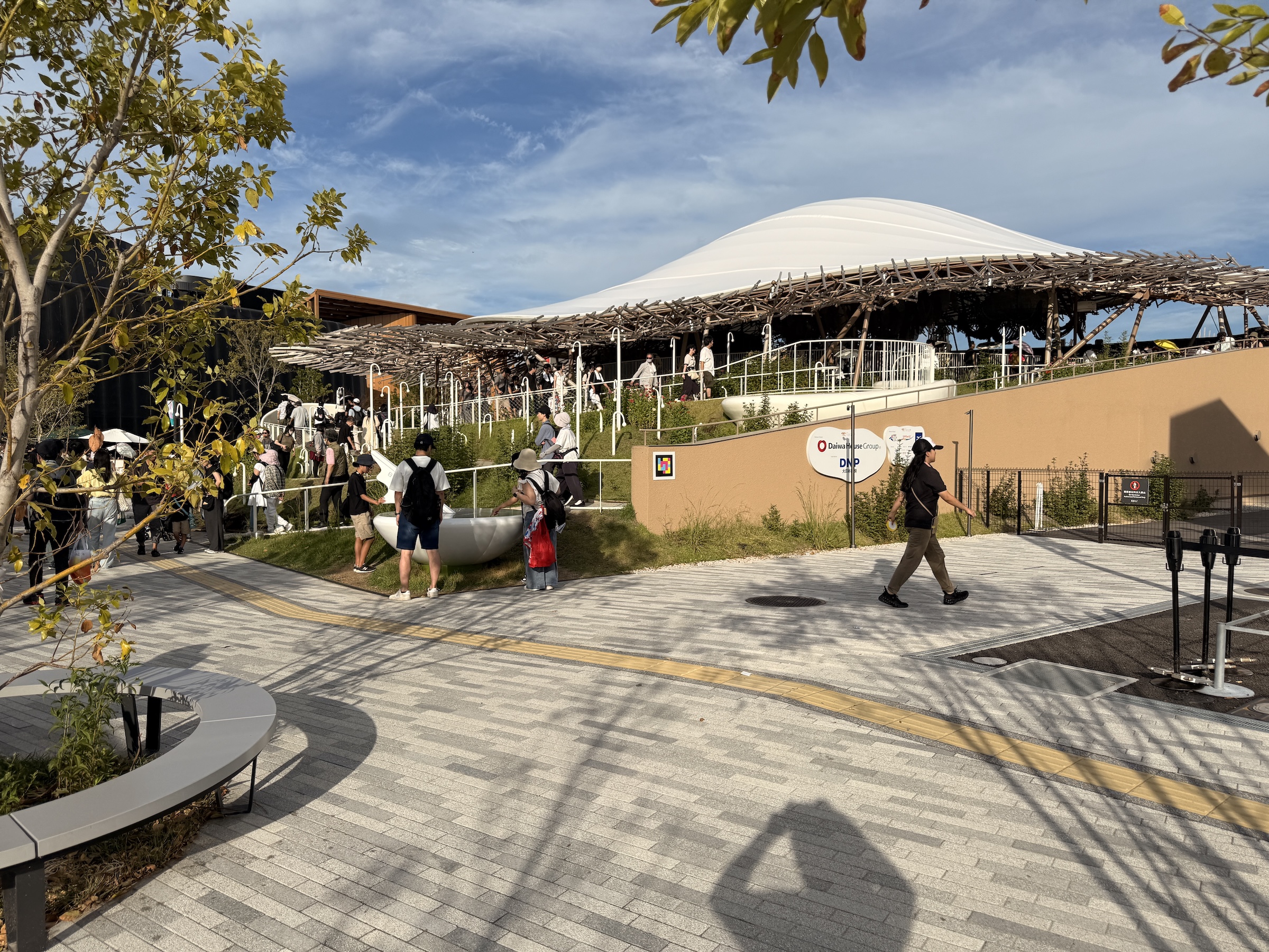
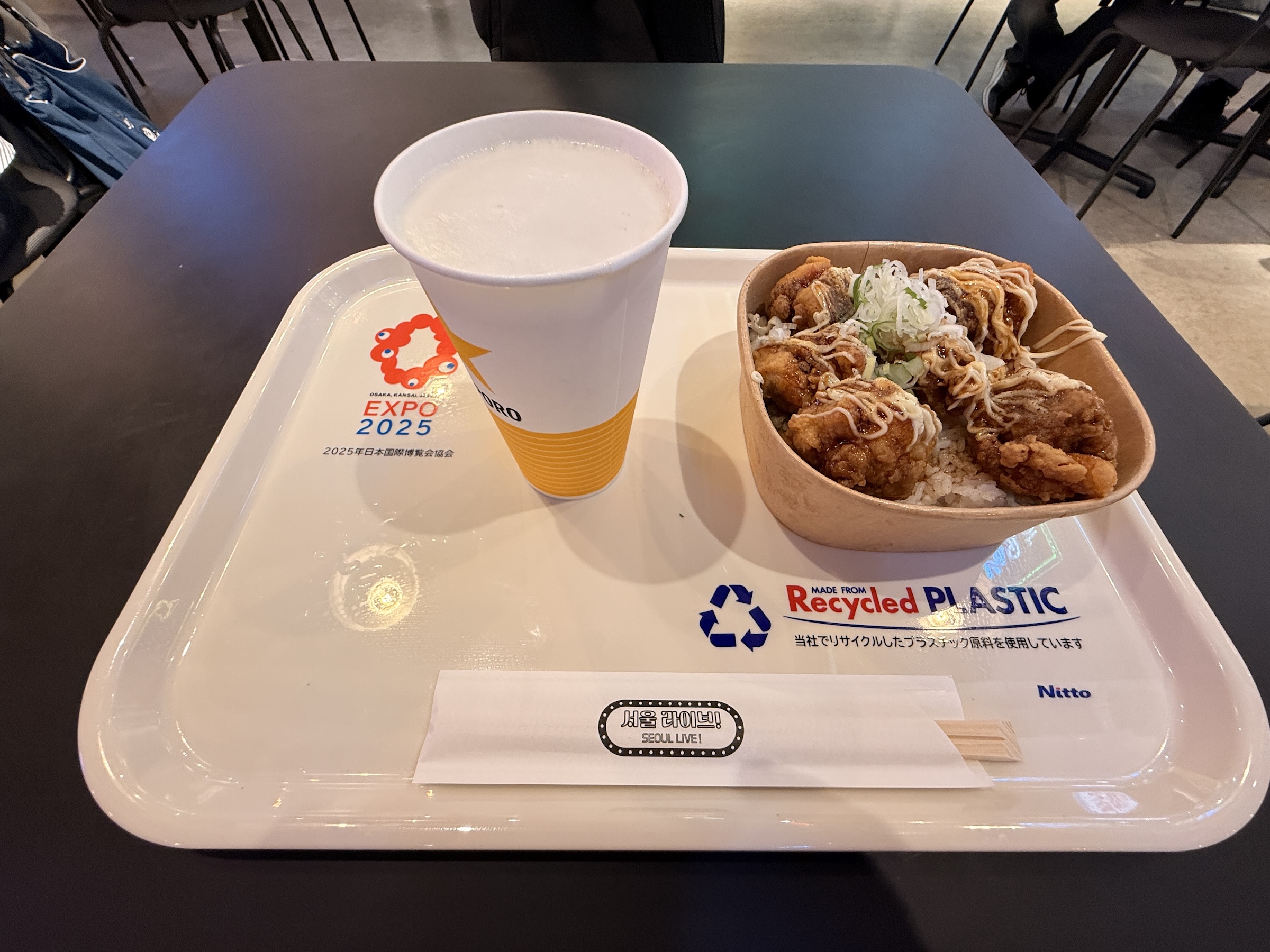
I made it to Expo 2025 Osaka!
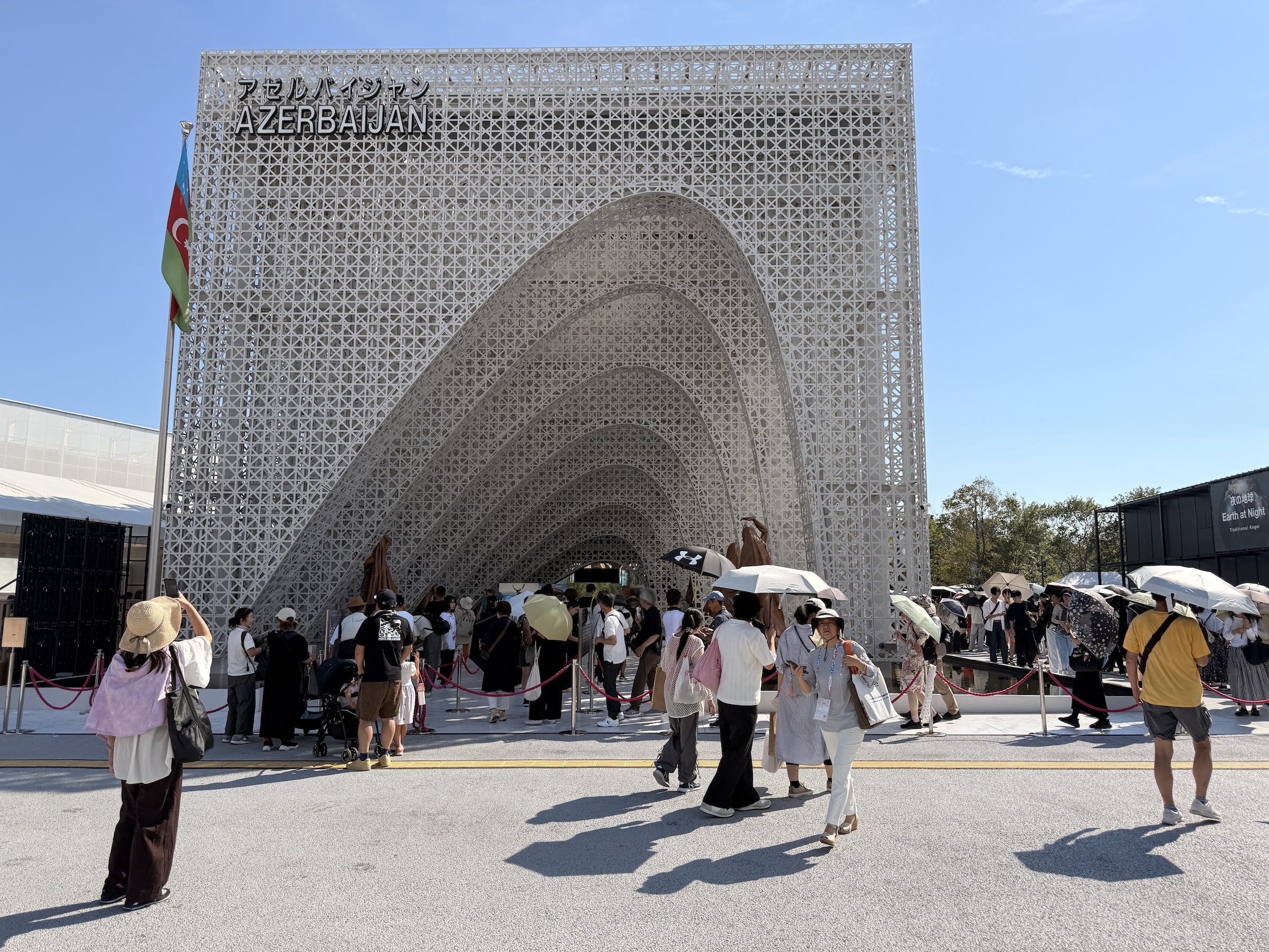
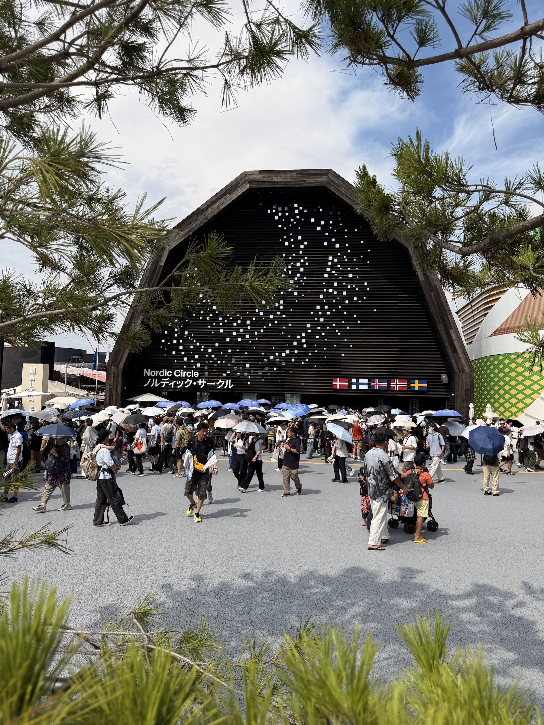
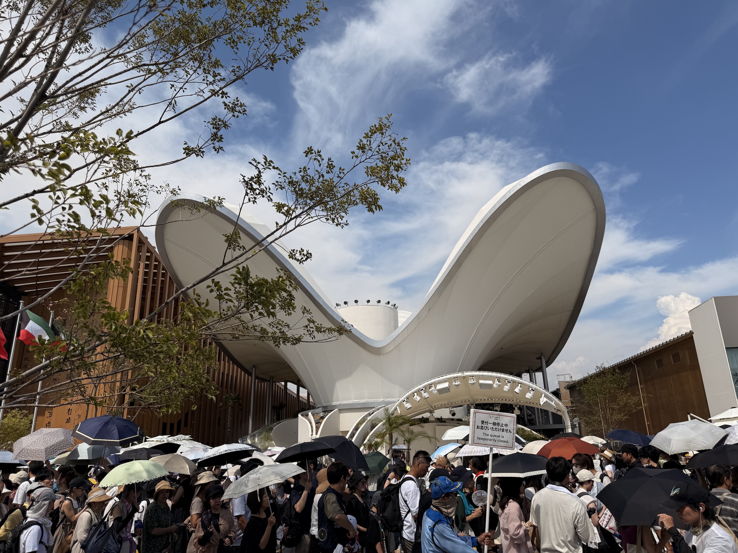
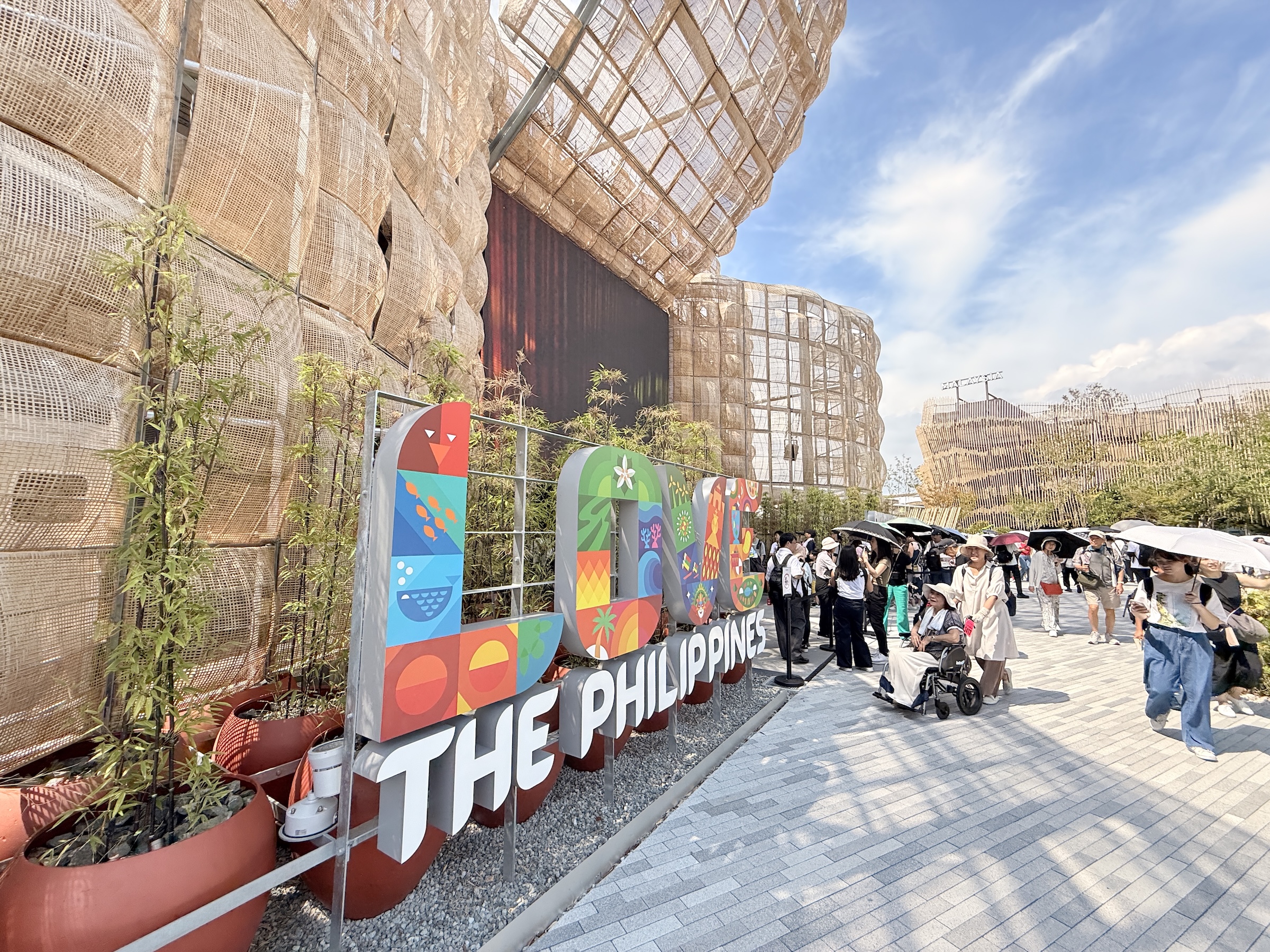
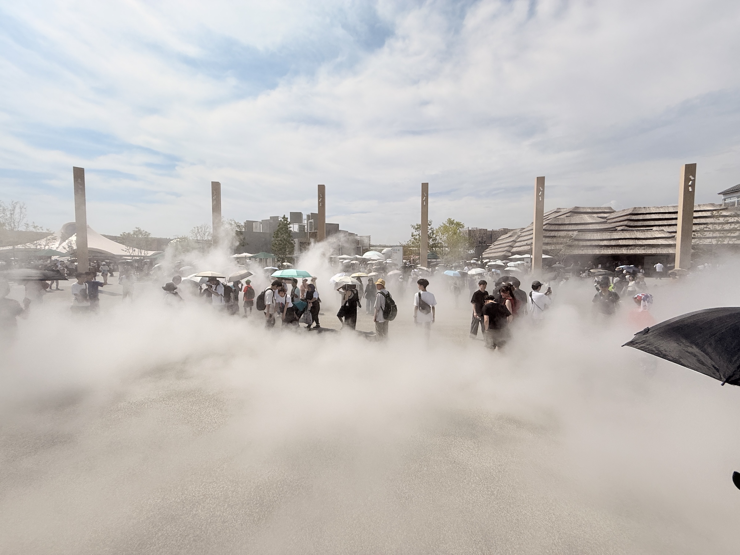
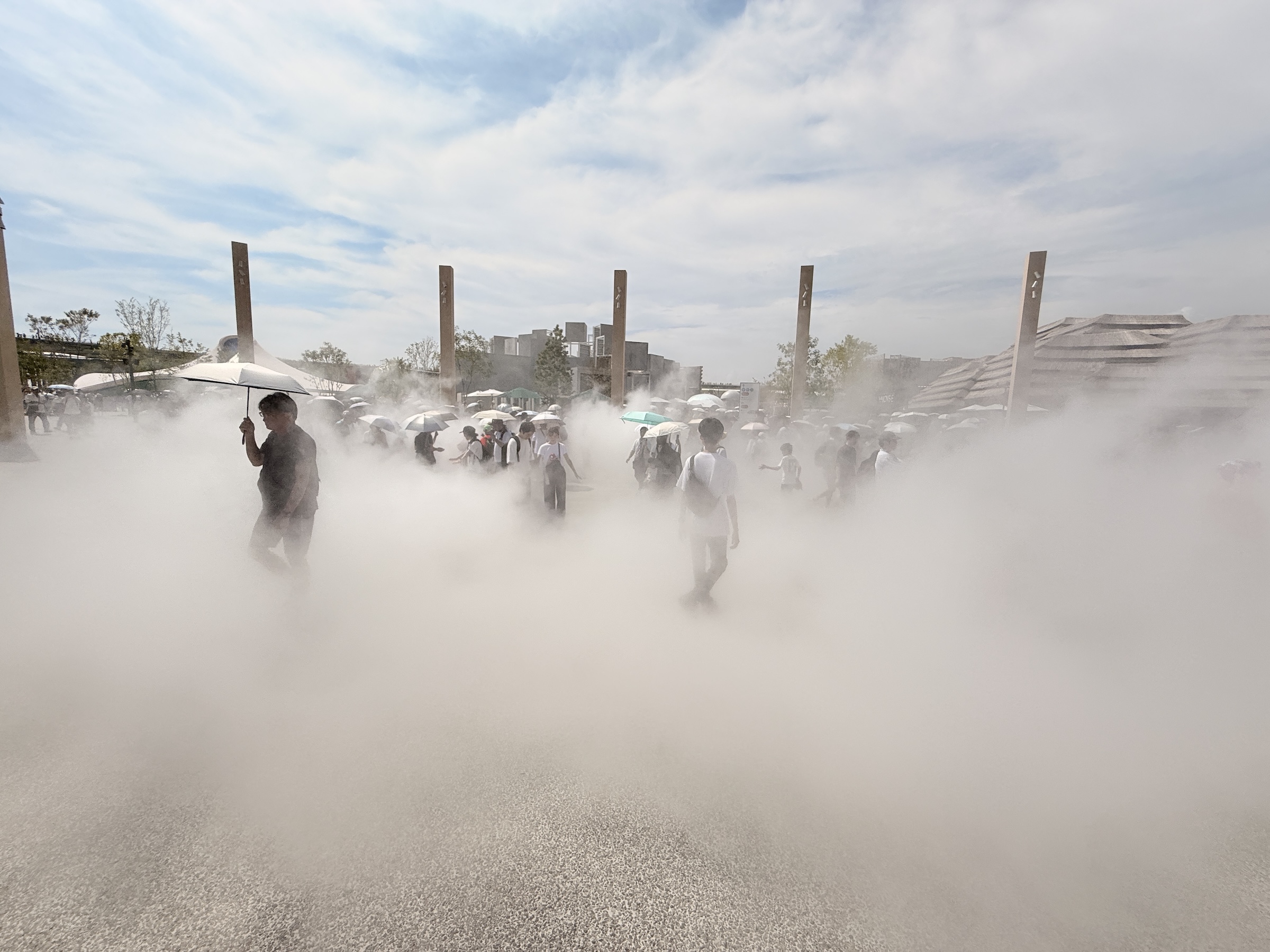
It’s hot and it’s crowded with very, very long lines at most pavilions— the ones that allow you in without a reservation, that is.
Entrance to the top-rated pavilions are pre-allocated by a lottery system. I struck out despite diligently applying, as far out as three months before my visit today.
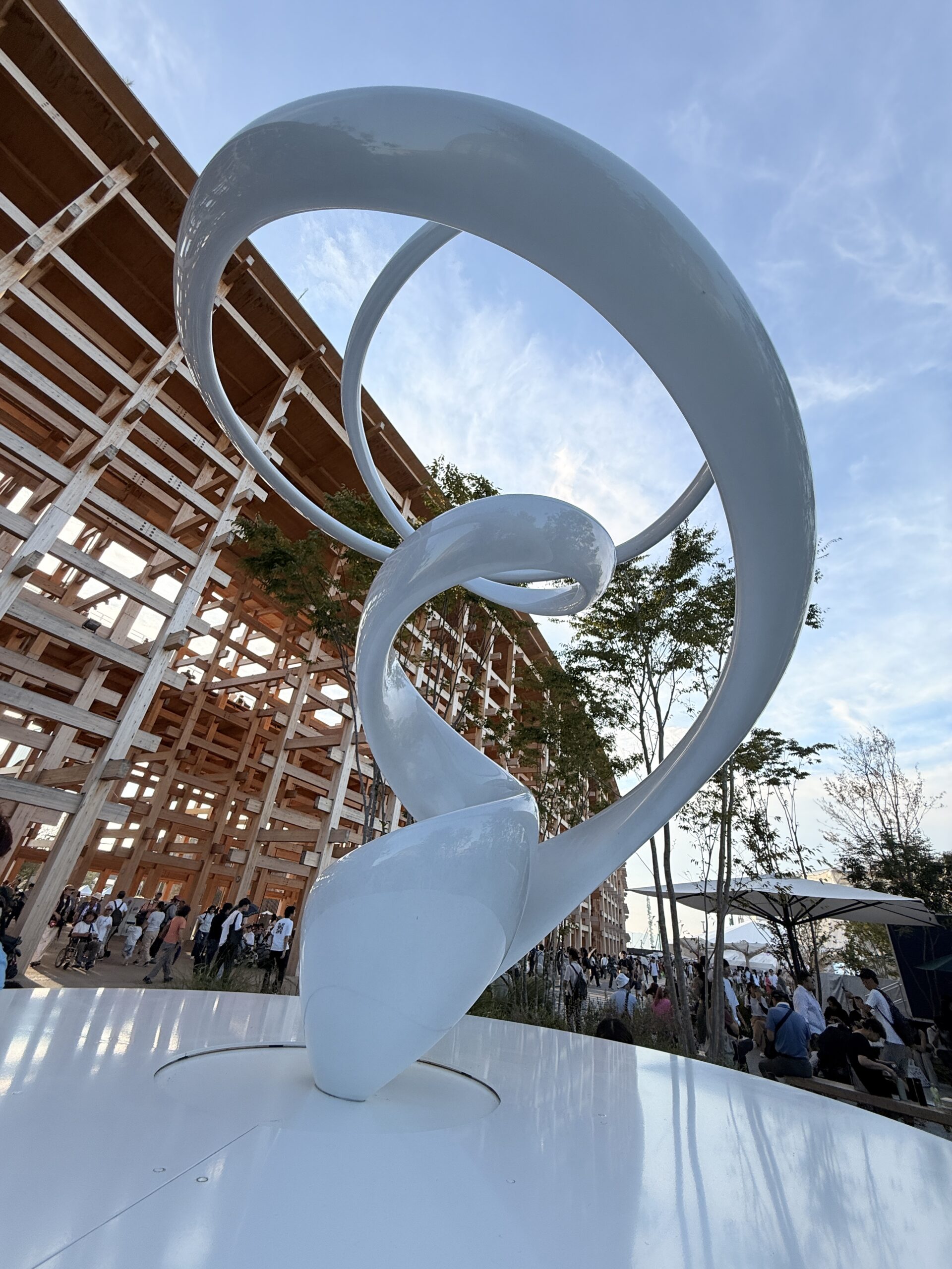
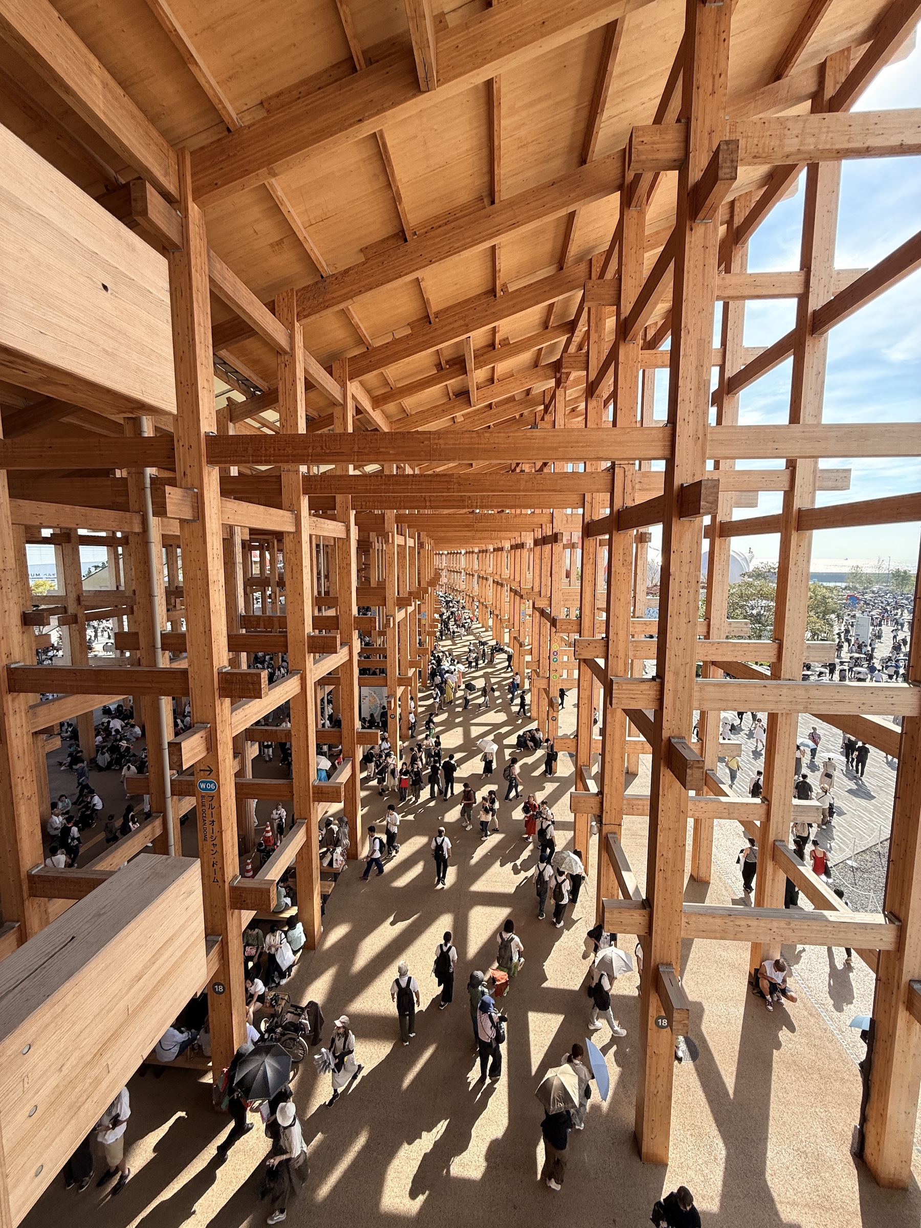
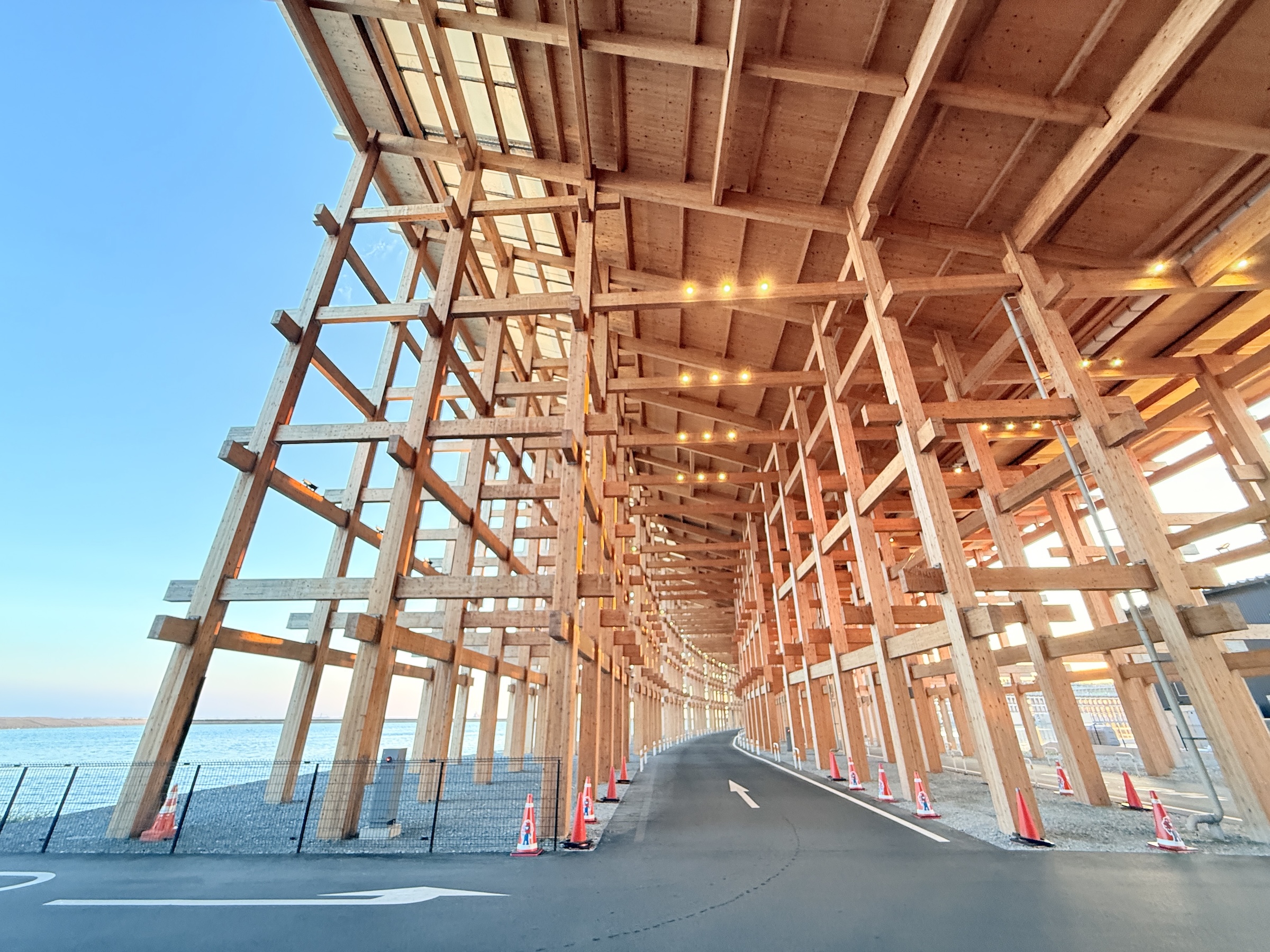
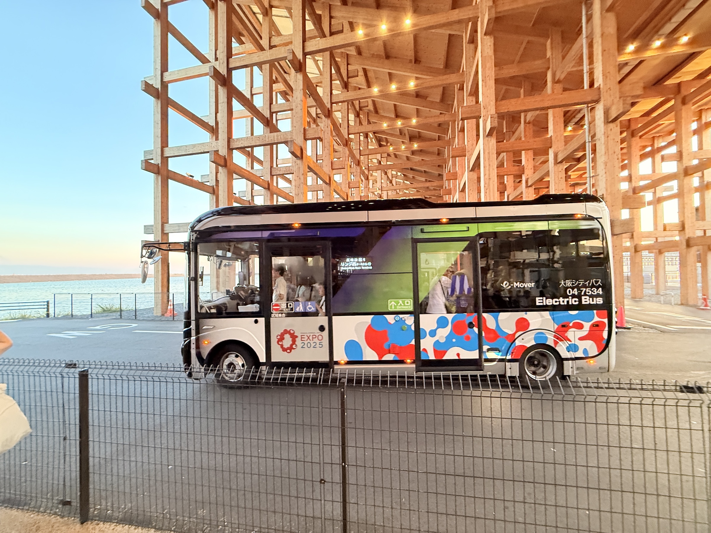
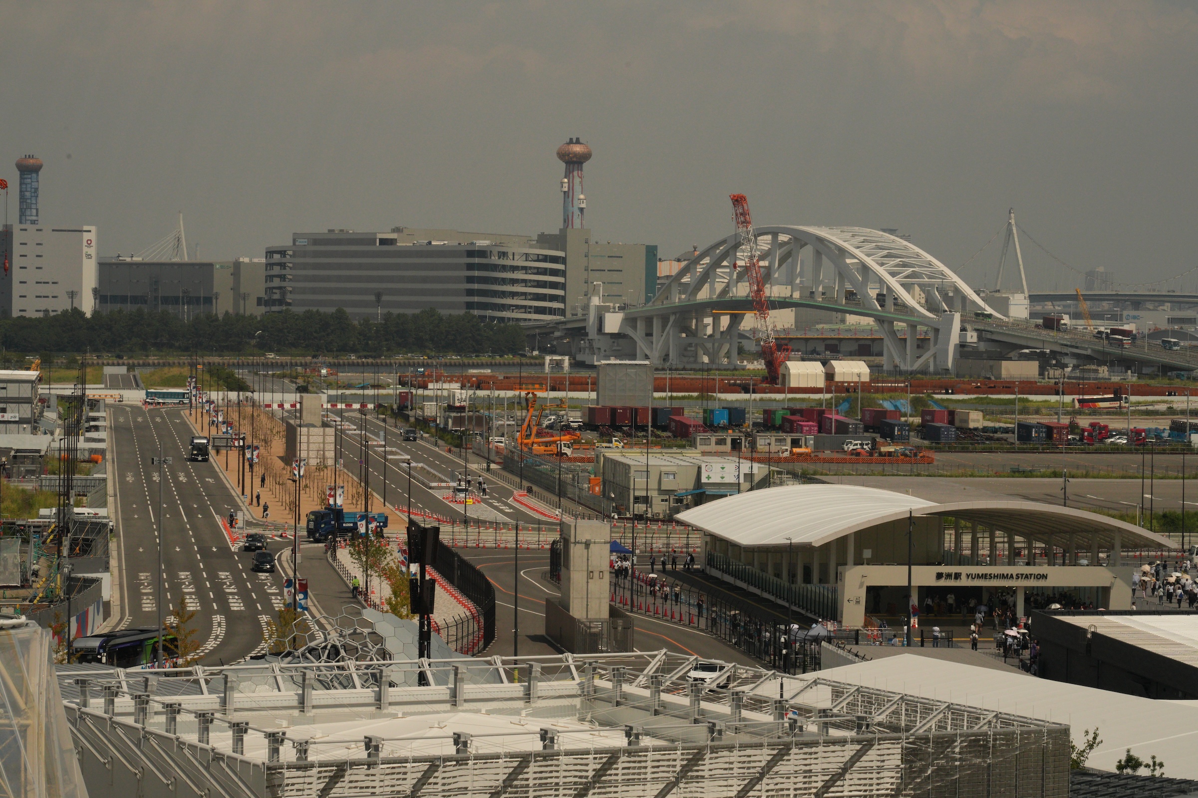
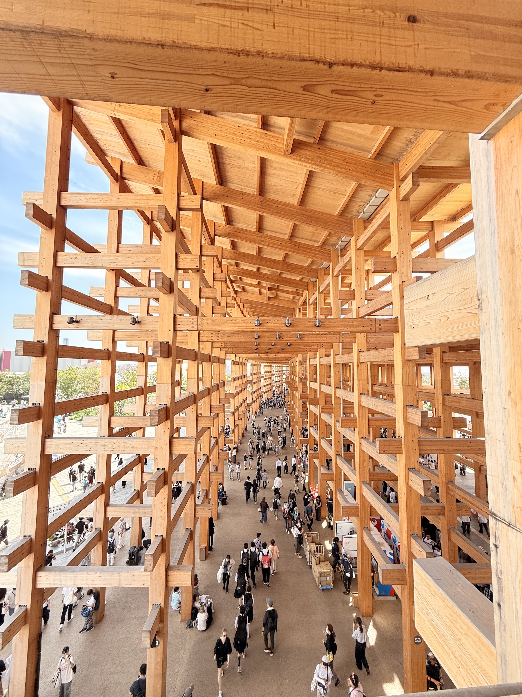
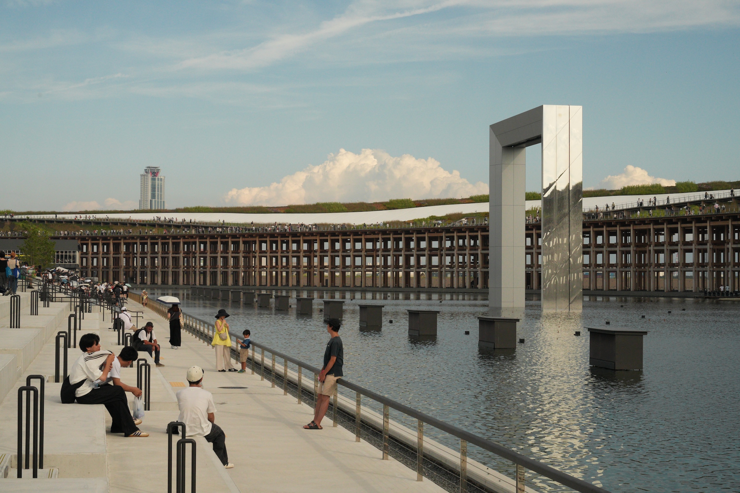
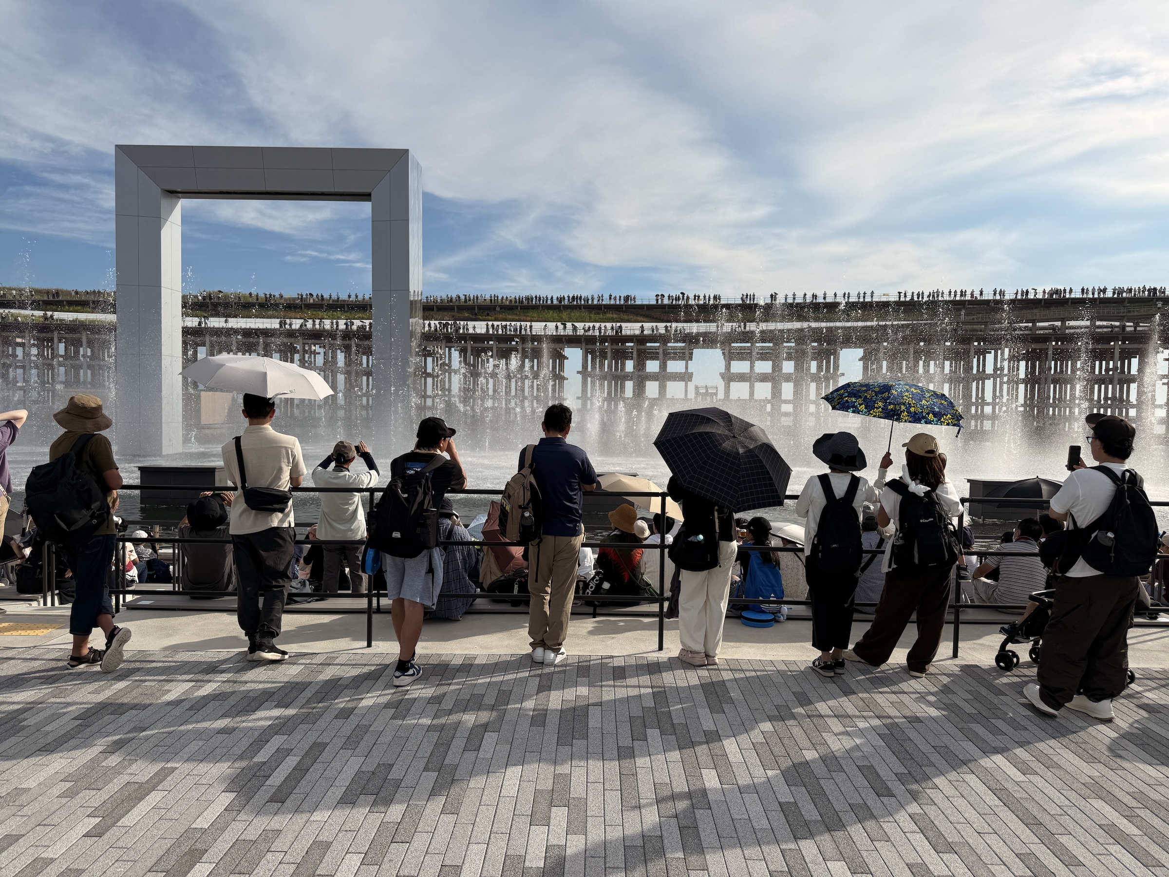
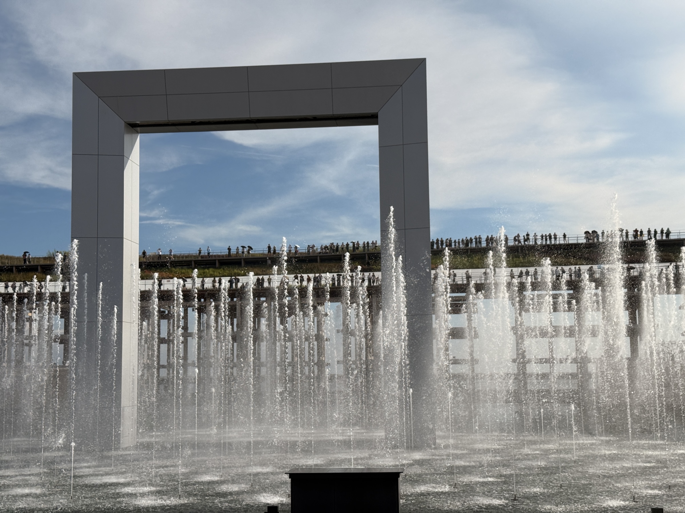
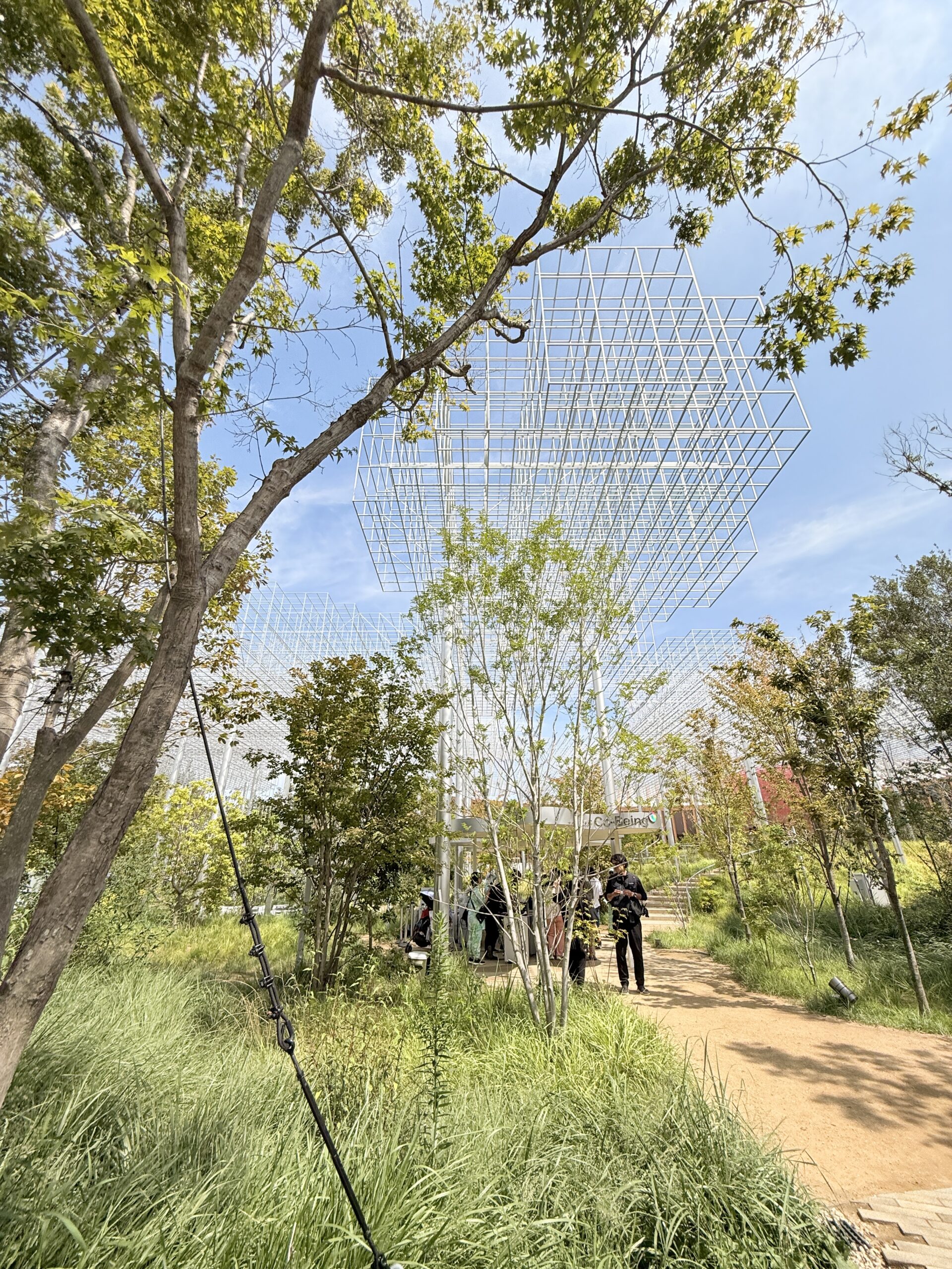
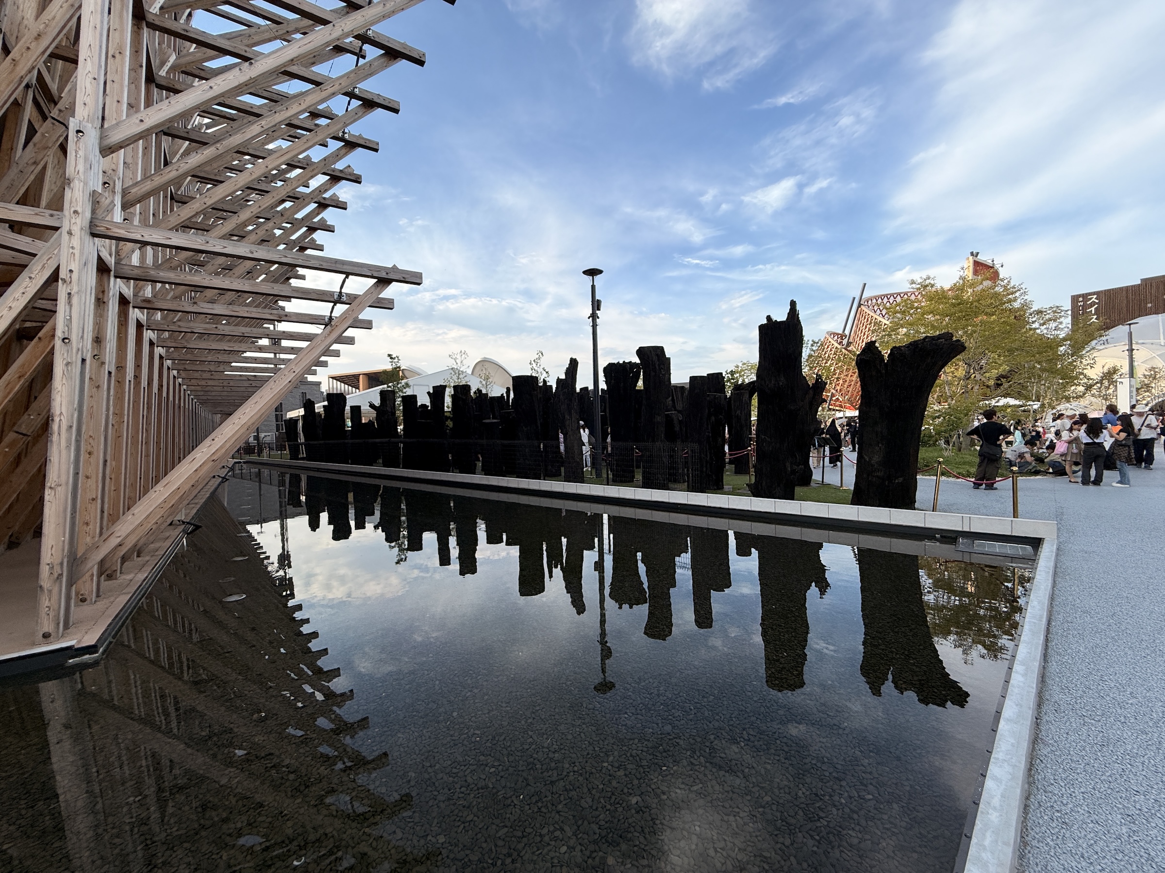
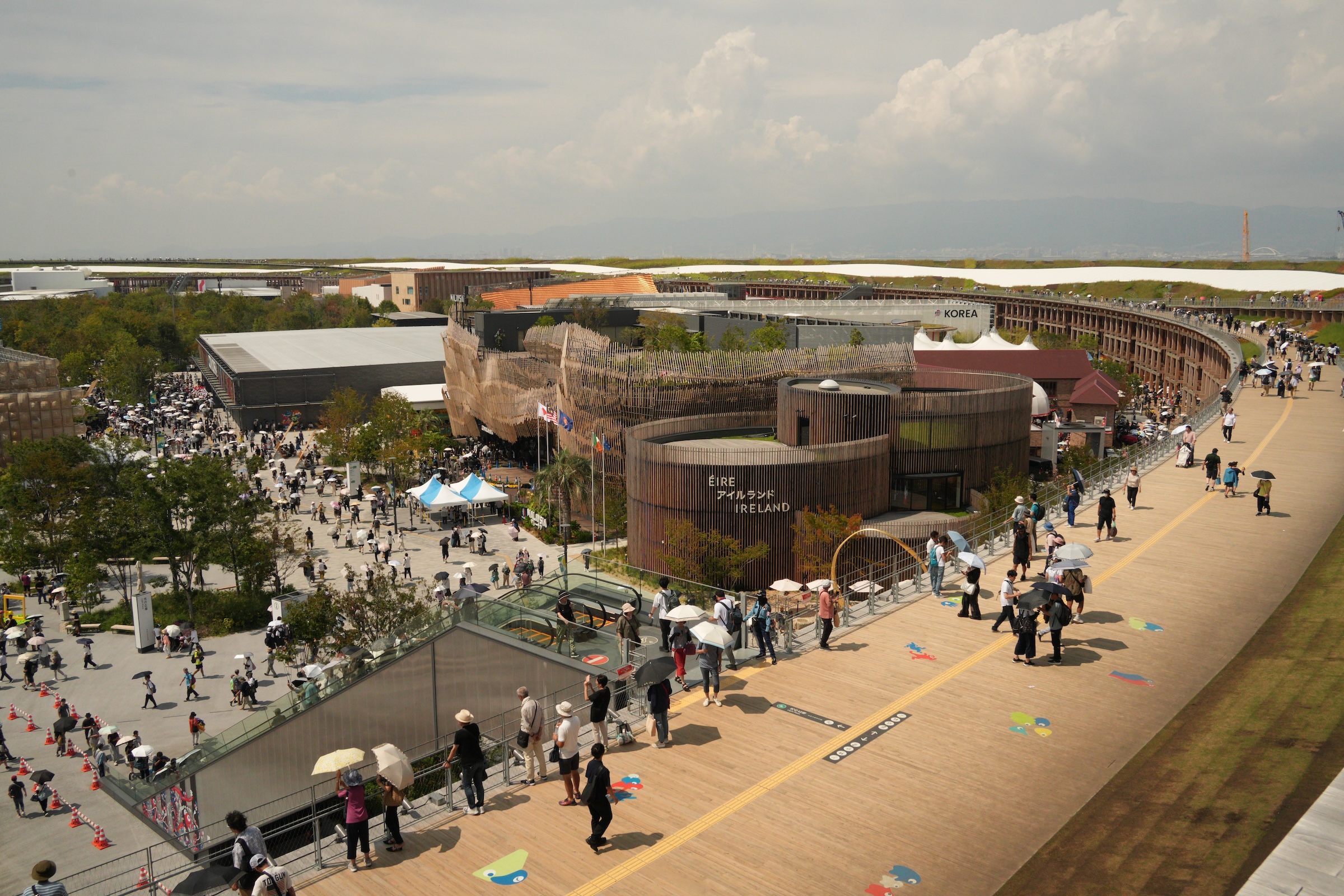
No matter, once you have made it into the entrance gate (with 180,000 others), you are in a world onto its own, inside the Grand Ring. The Ring is the world’s largest wooden structure, constructed on Yumeshima (夢洲), the artificial island located in Osaka Bay.
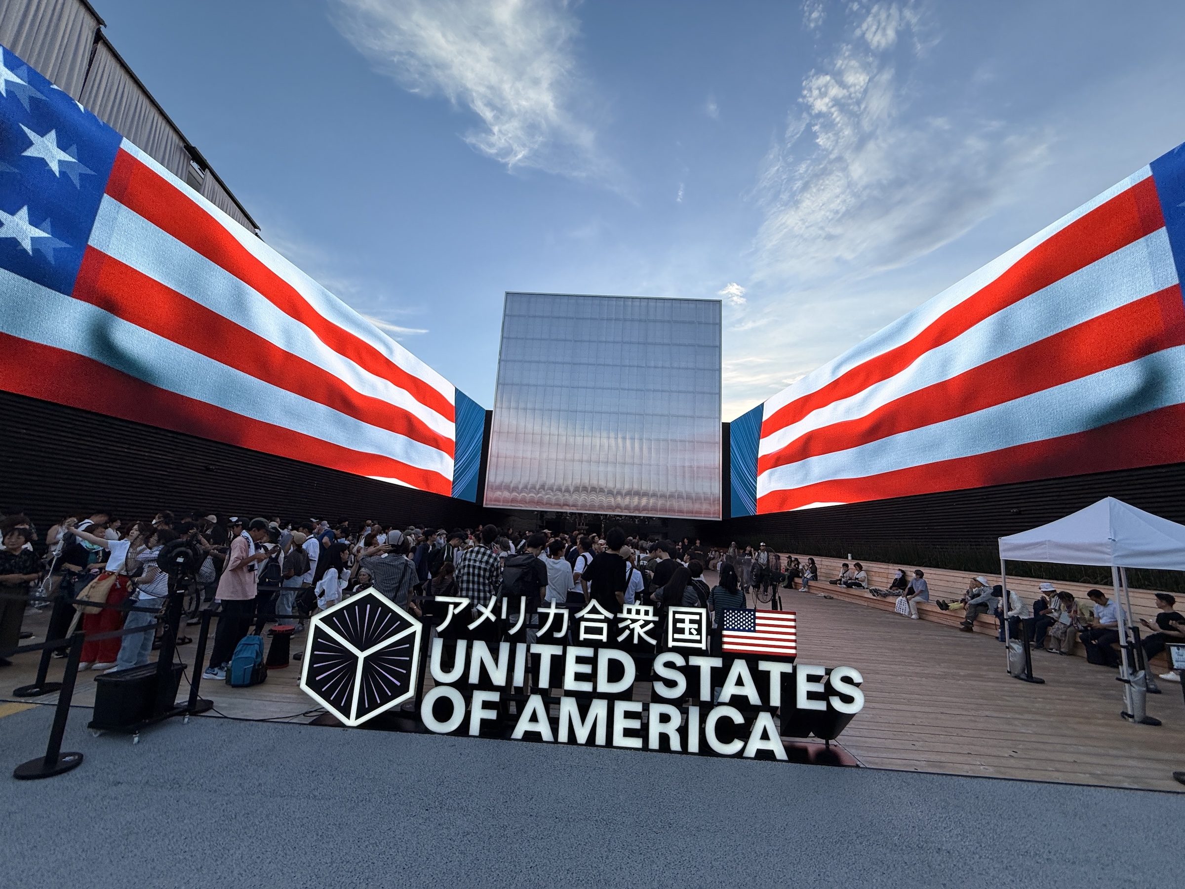
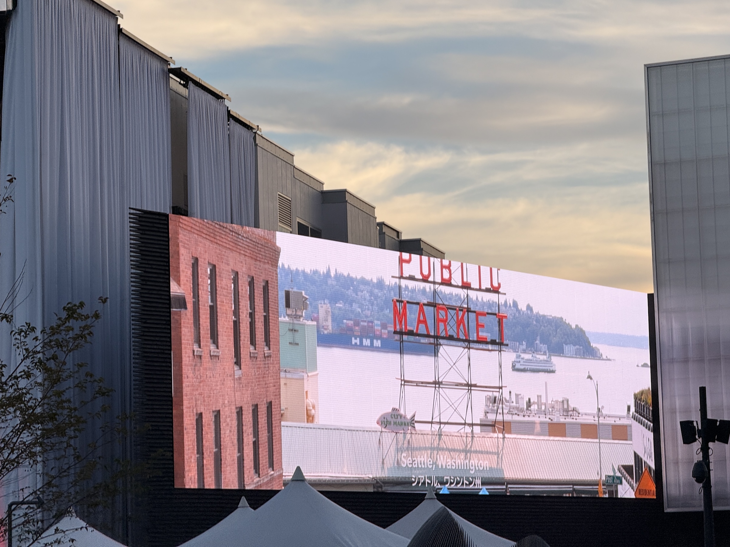
The USA pavilion is a structure designed by Trahan Architects with two triangular wings and a raised translucent cube flanking a central plaza. It features video imagery that features the Plains, the mountains and the cities in the US— and hey! Seattle’s Pike Place market made an appearance as well.
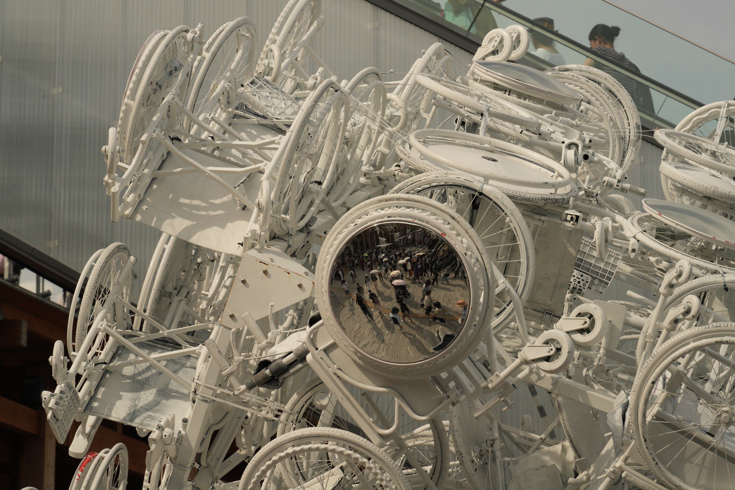
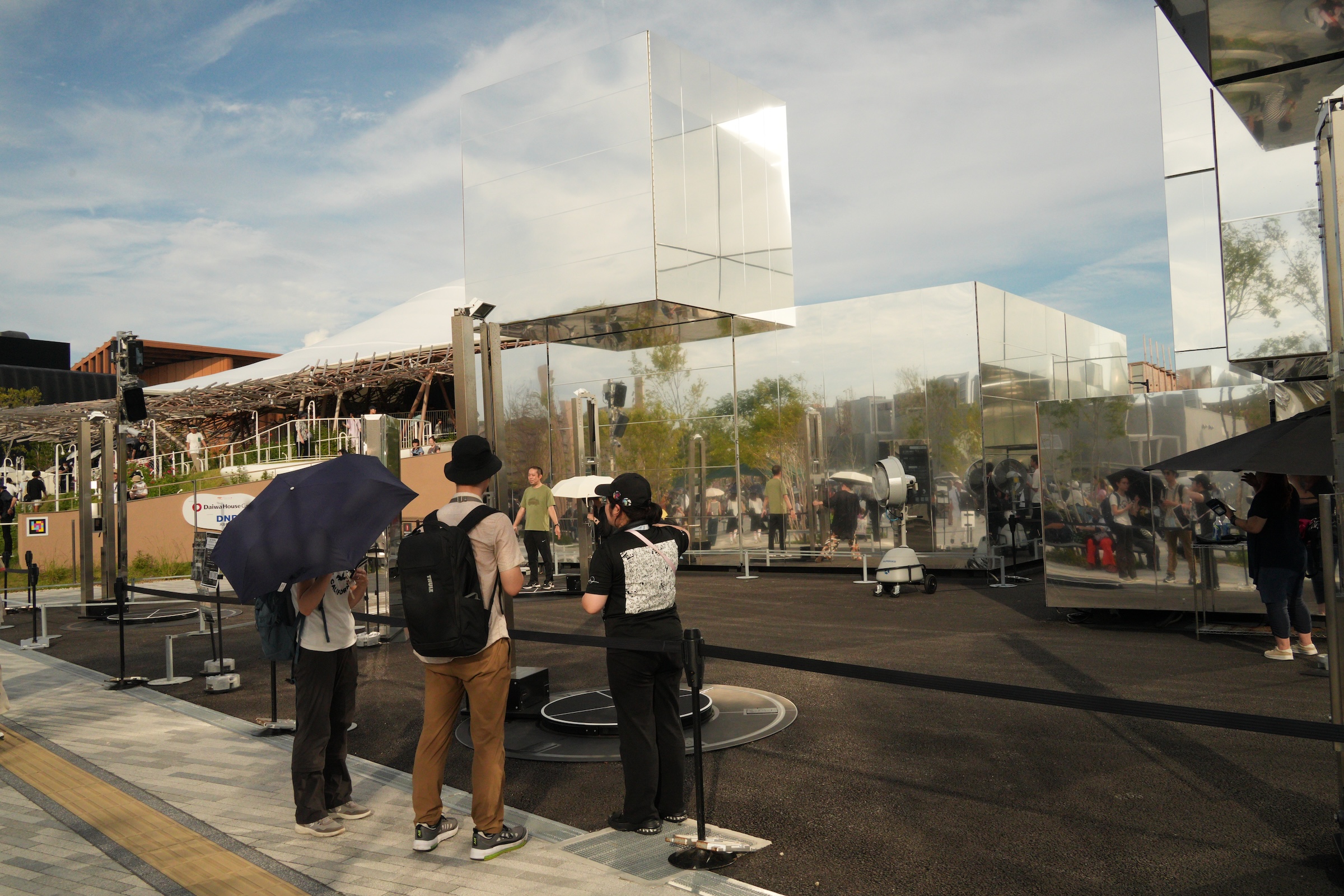
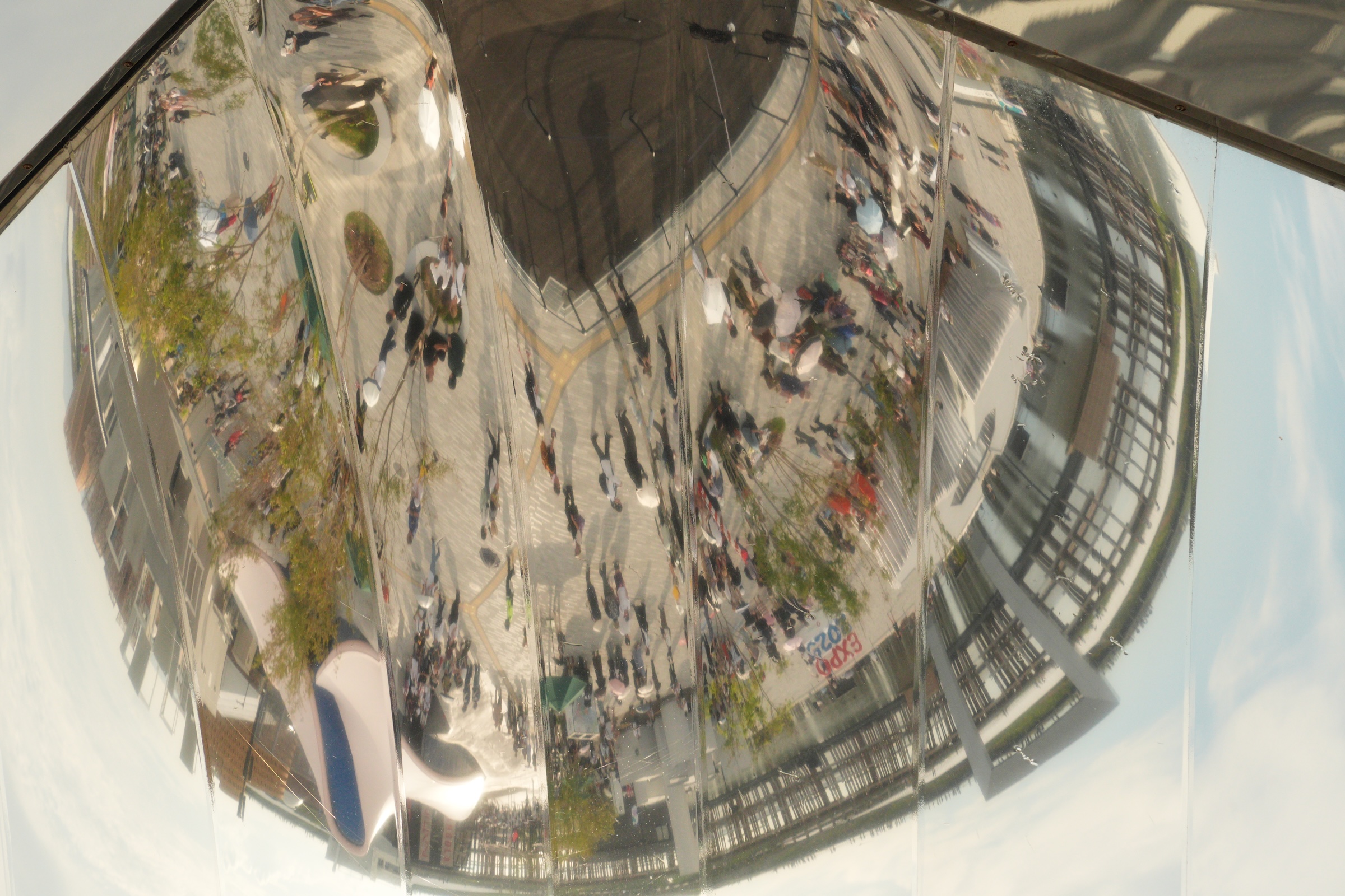
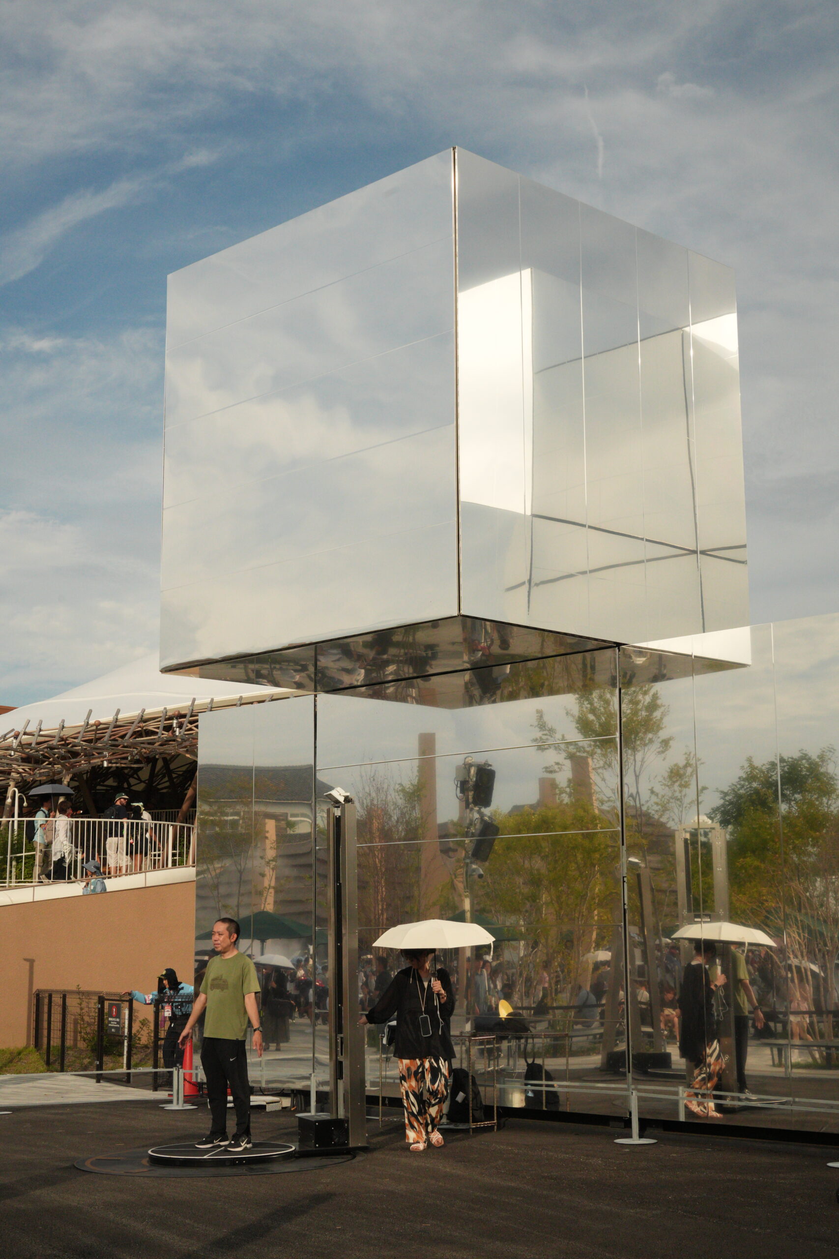
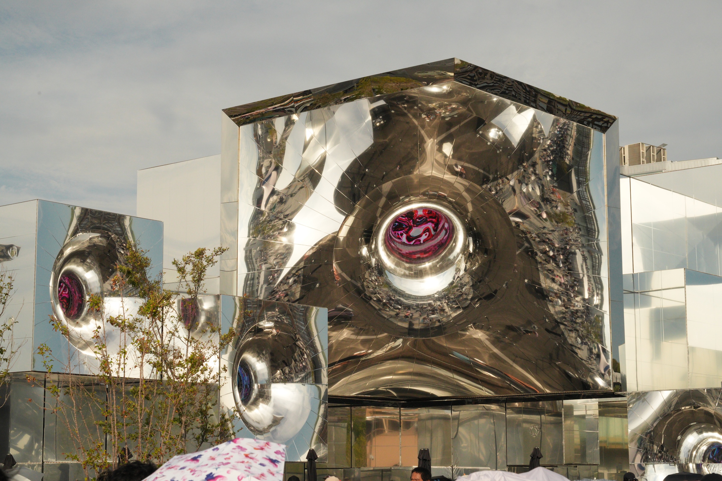
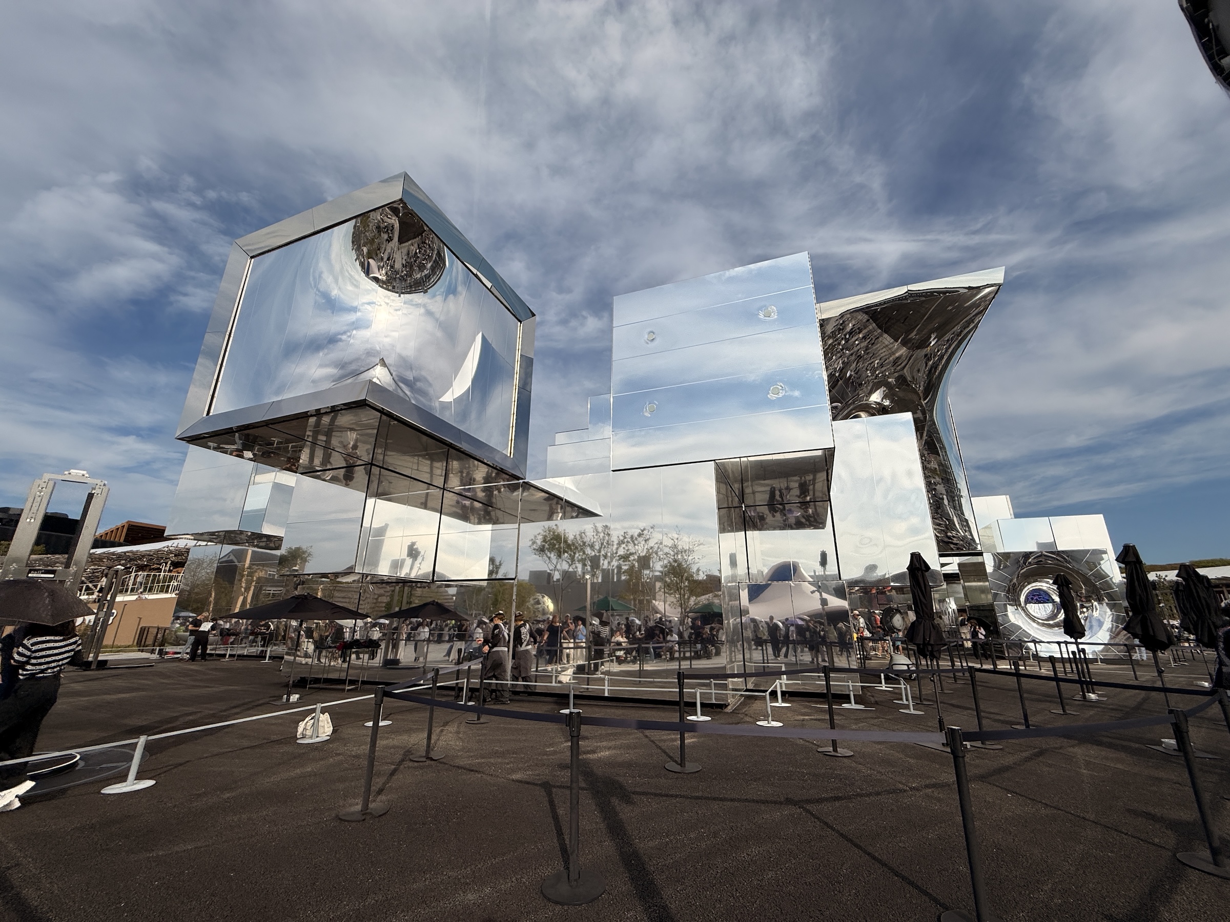
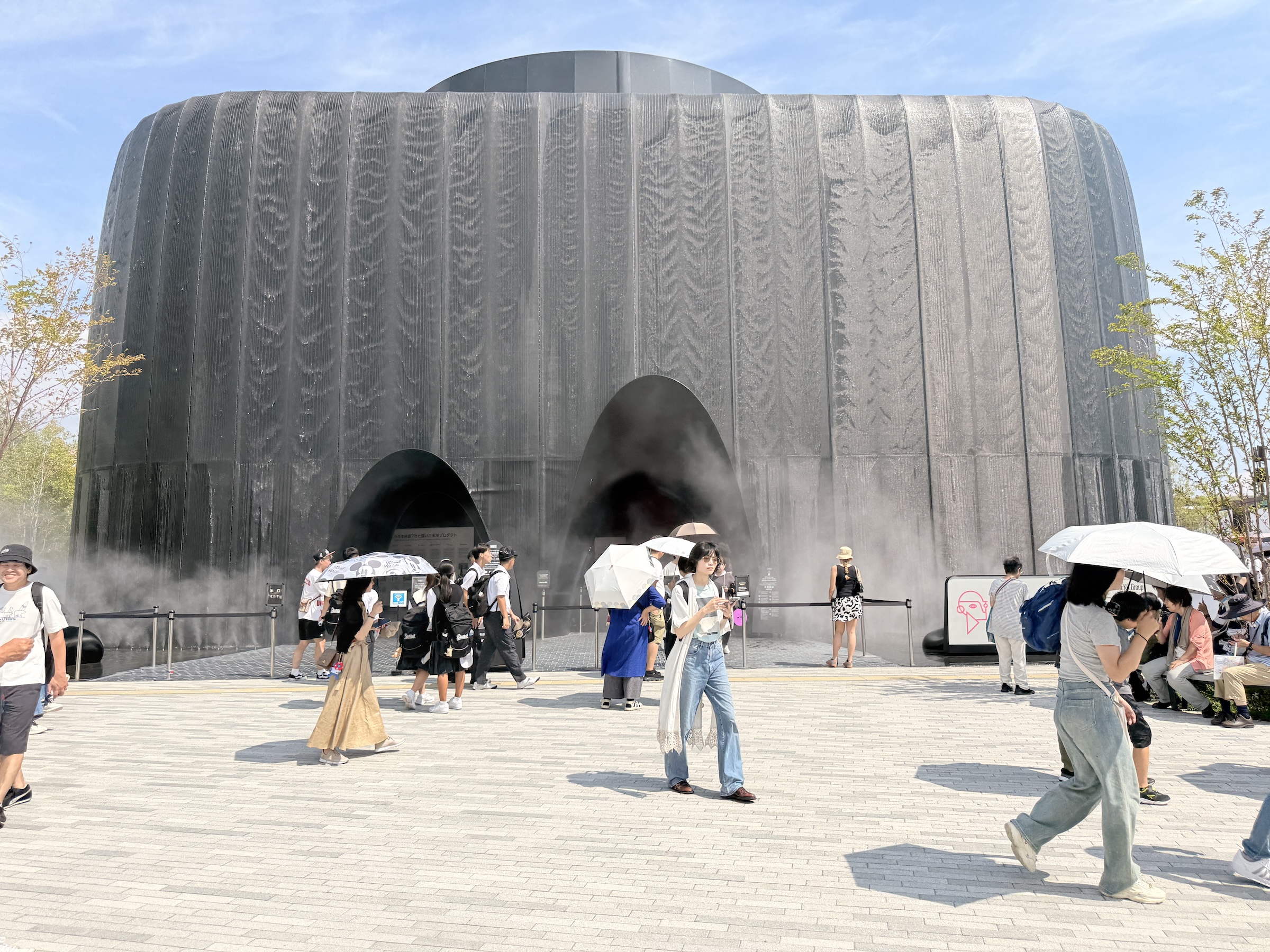
I was mesmerized by the installation of shiny cubes called null². The sun bounced off the surfaces, and a low sound was emitted from the structure.
Developed by Yoichi Ochiai, the pavilion’s structure is based on a cubic grid of voxels measuring 2 to 8 m (6 ft to 26 ft) wide. The facade is covered with a membrane that resembles a mirror. [Source: Wikipedia]
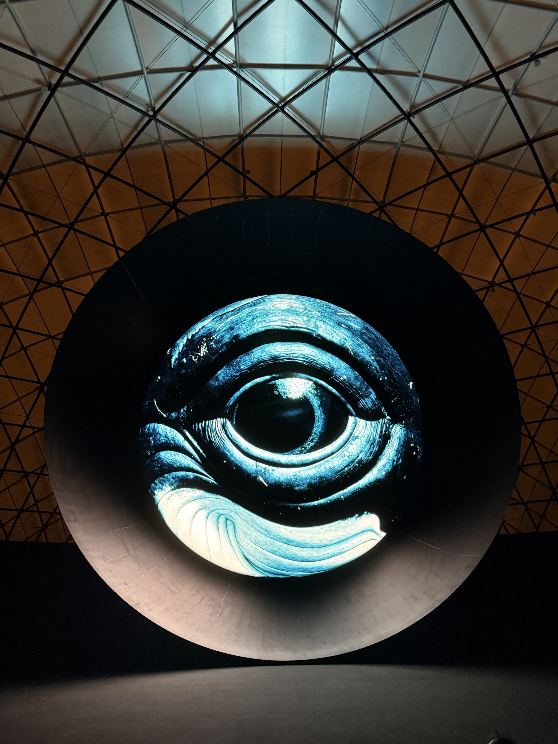
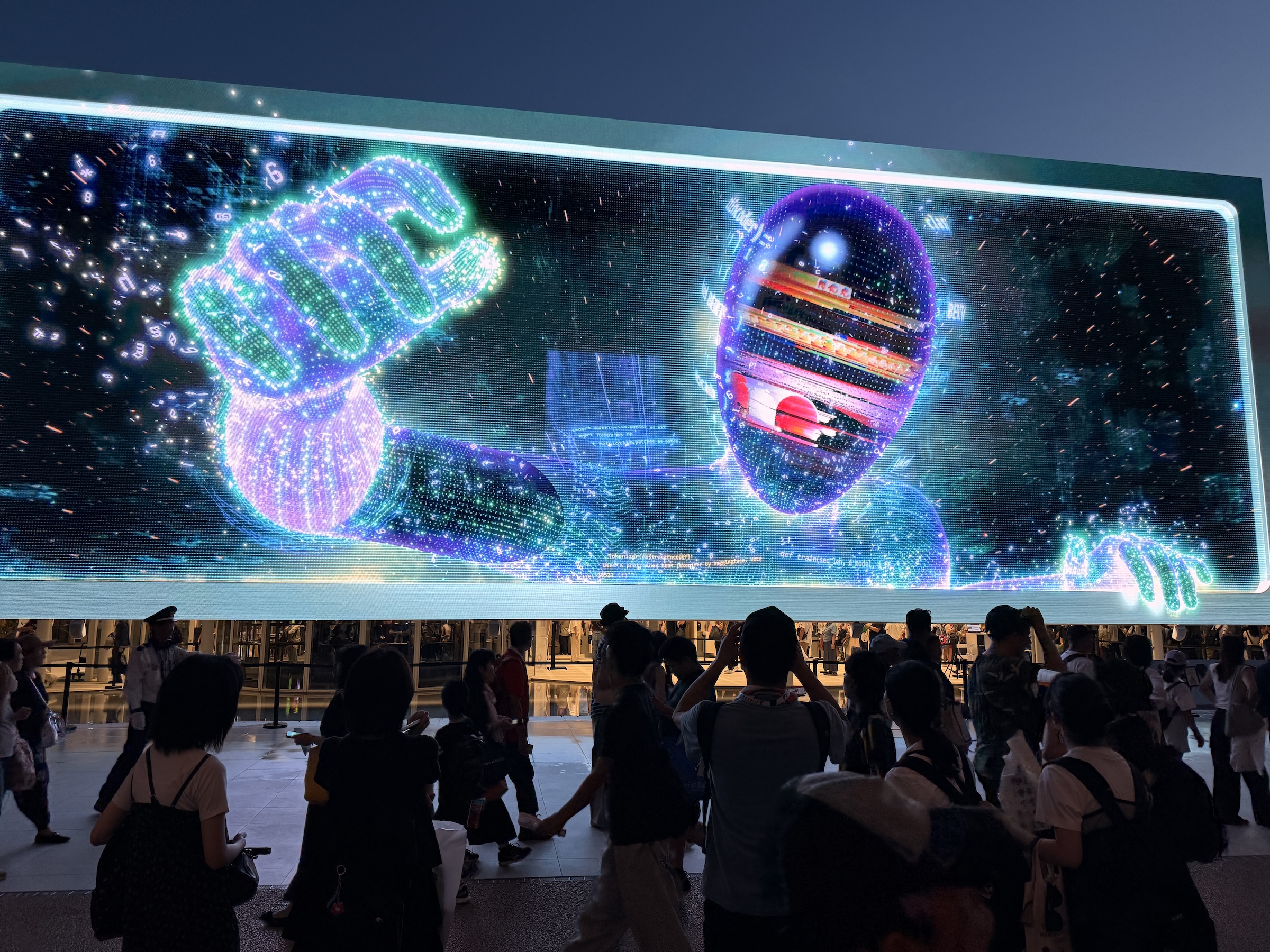
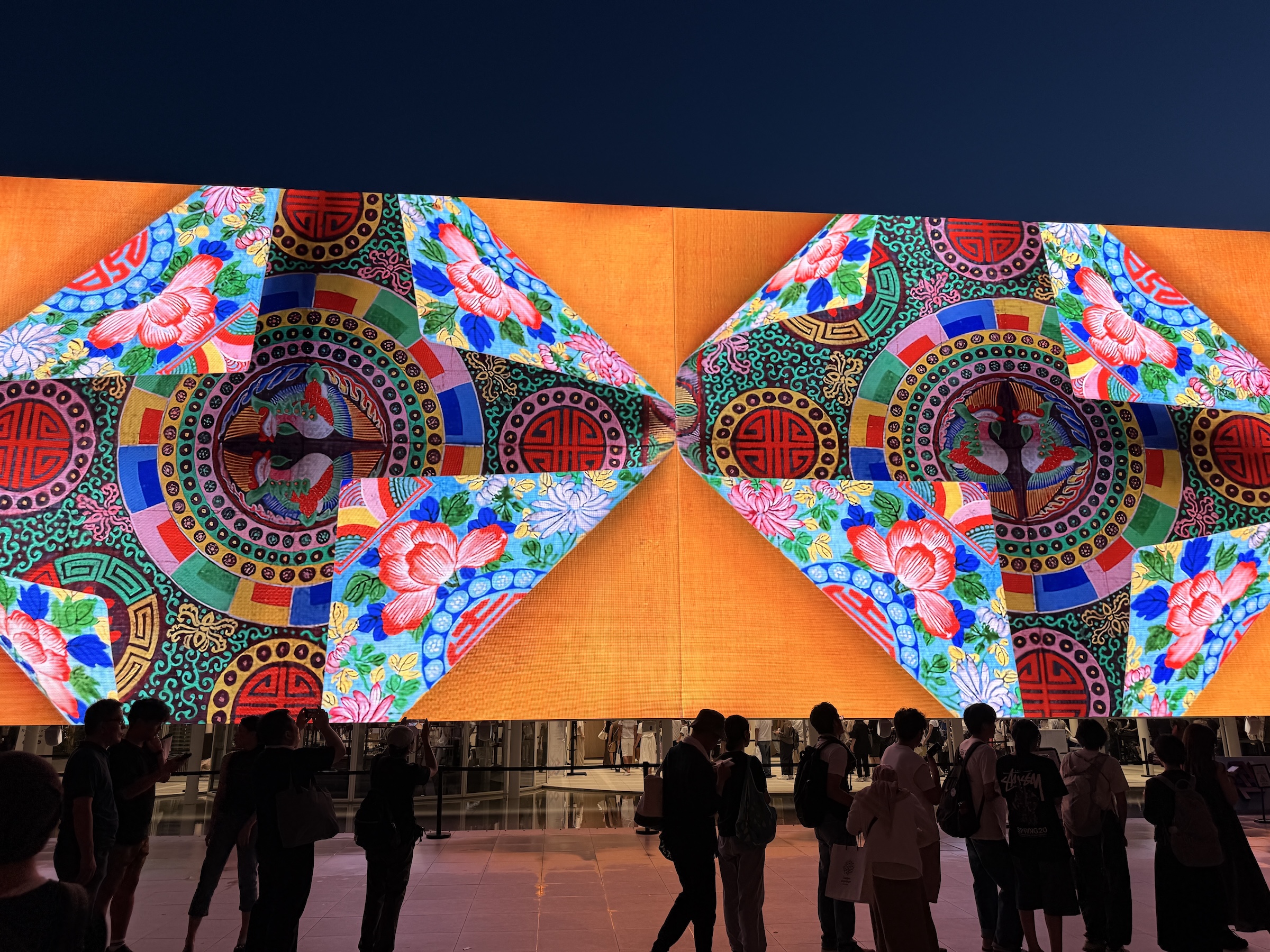
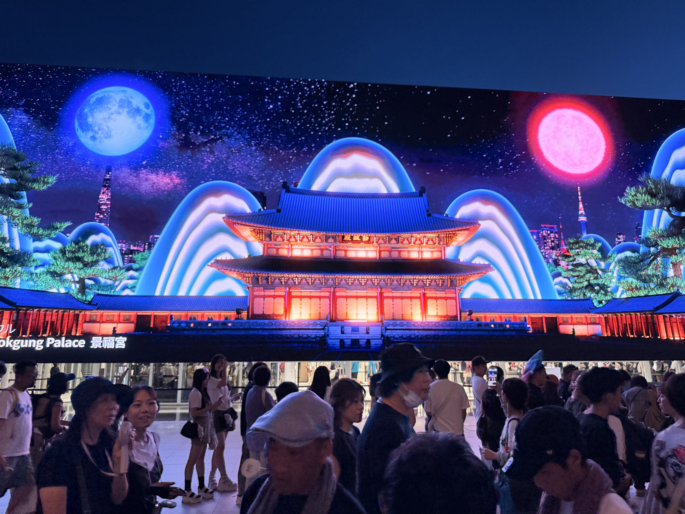
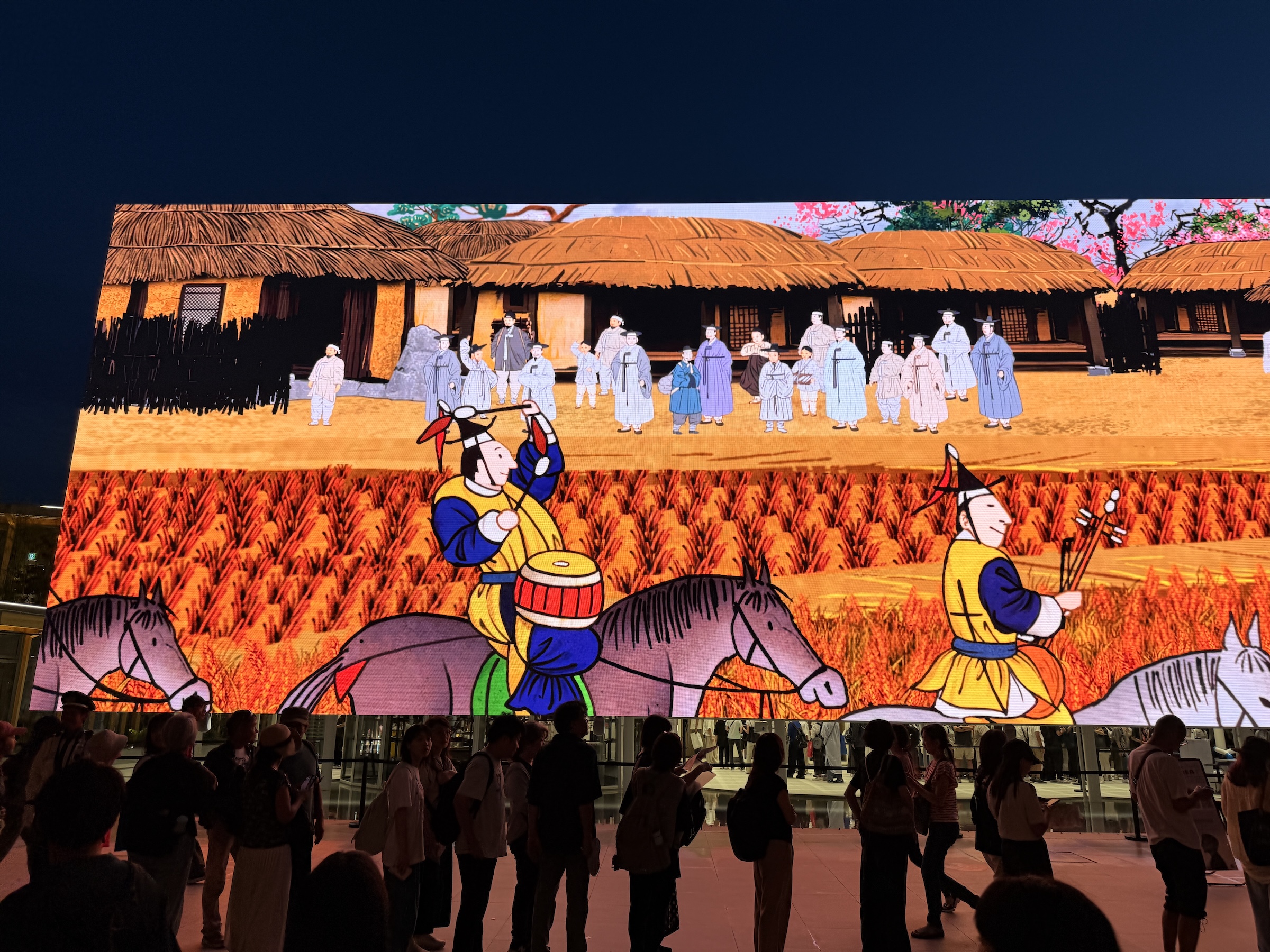
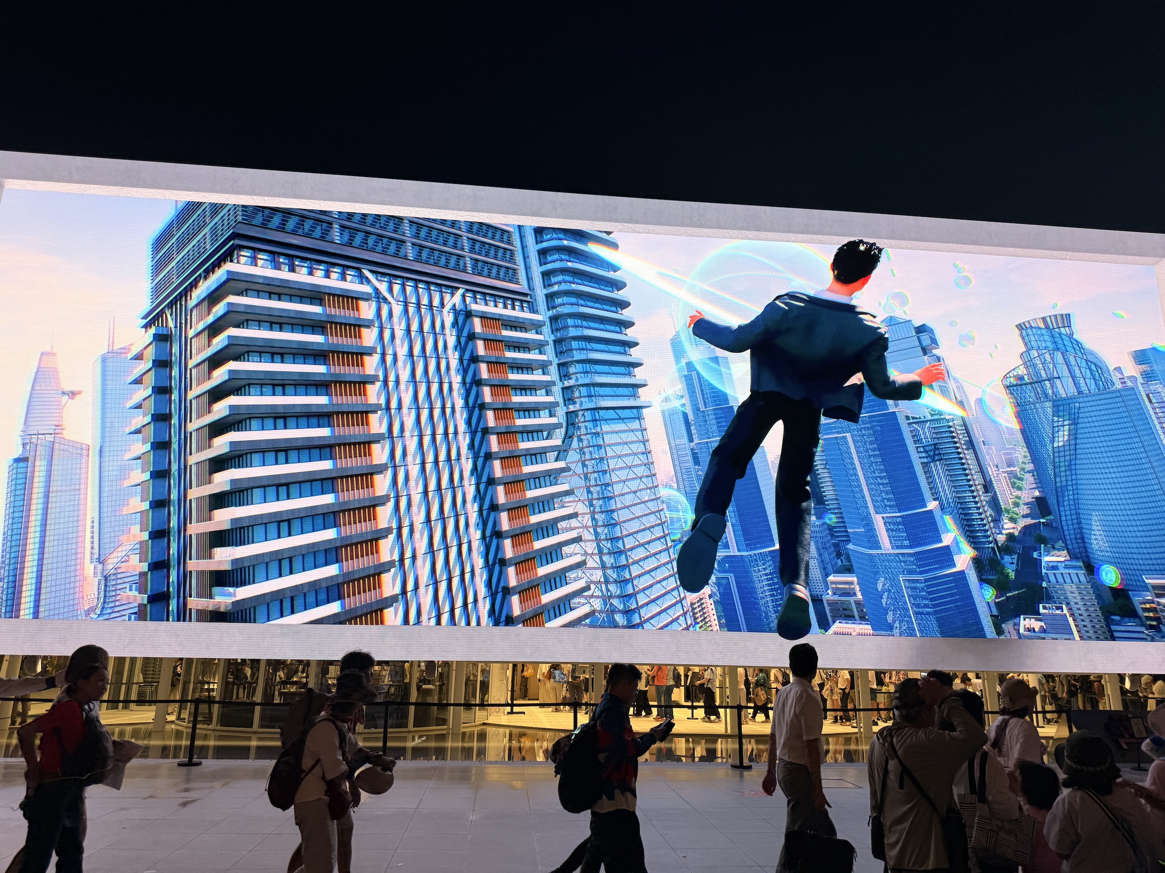
Look for a few images (towards the end) beamed out from the enormous high-resolution screen outside the Korea pavilion. The three-story pavilion has a high-resolution screen on its facade that is 27 m (89 ft) wide. The screen displays on a spectacular series of animated images and videos.
South Africa withdrew from Expo 2025 Osaka in late 2024 despite repeated invitations from the Japanese government, citing the country’s ‘financial constraints’.


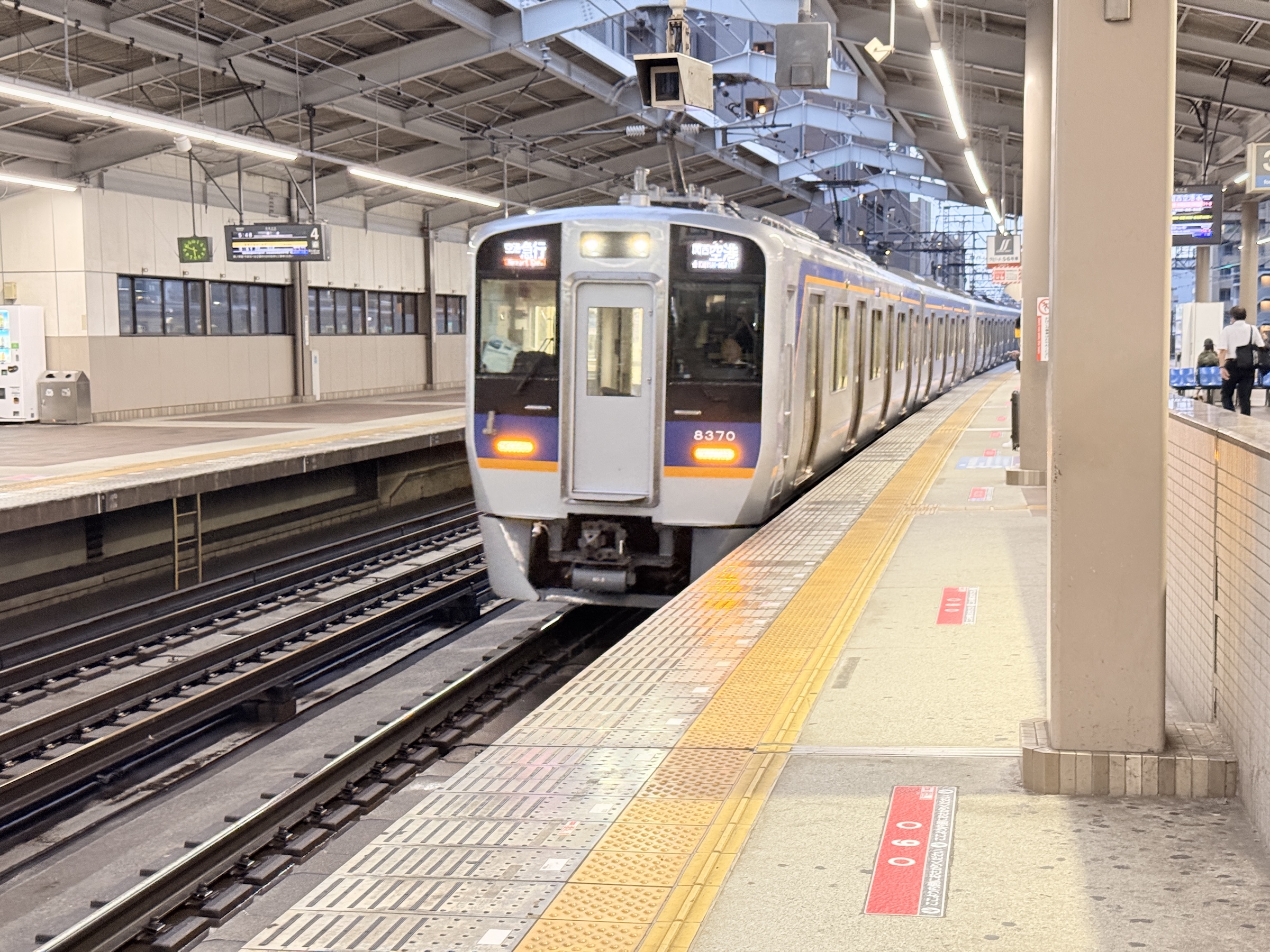
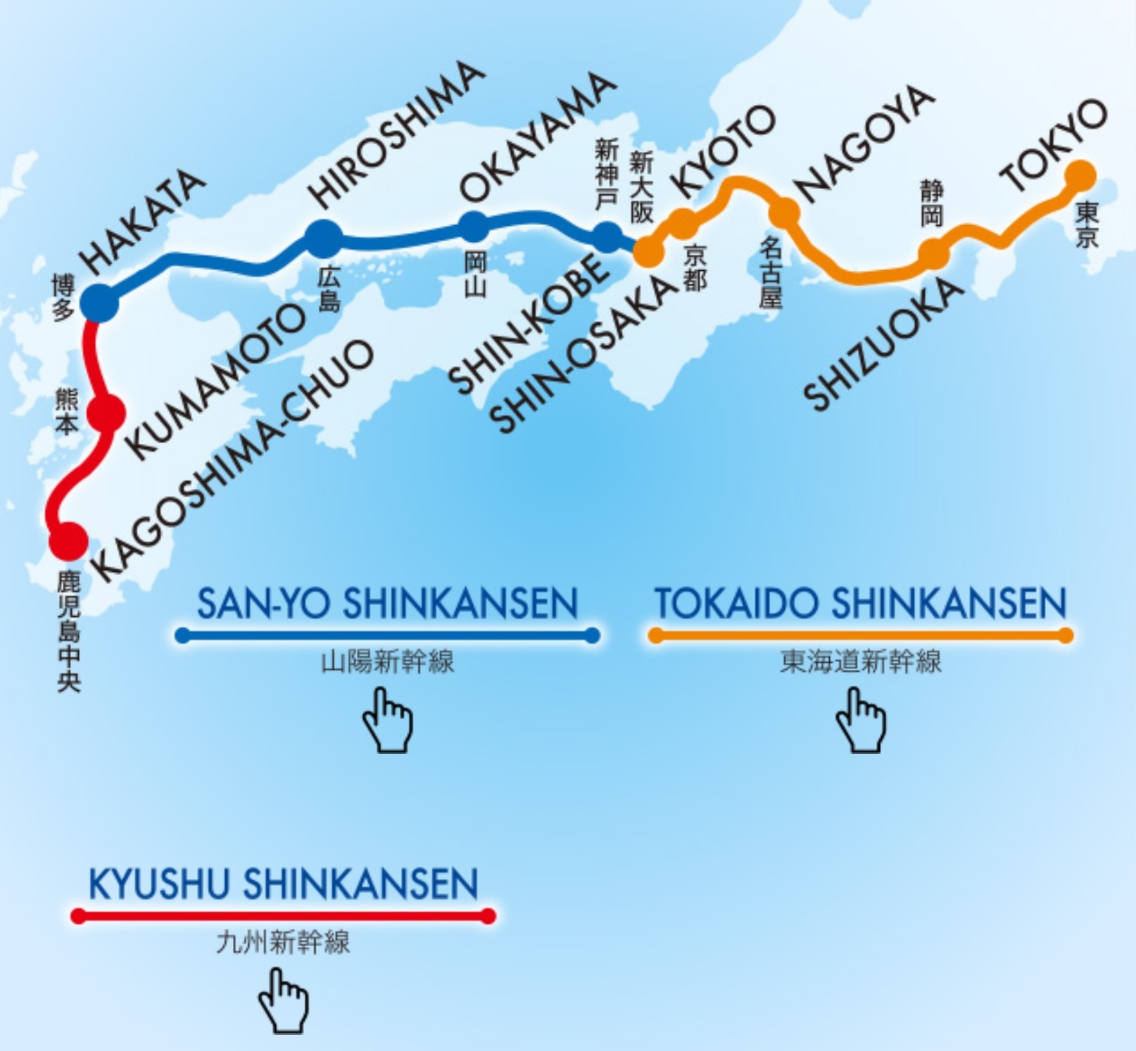
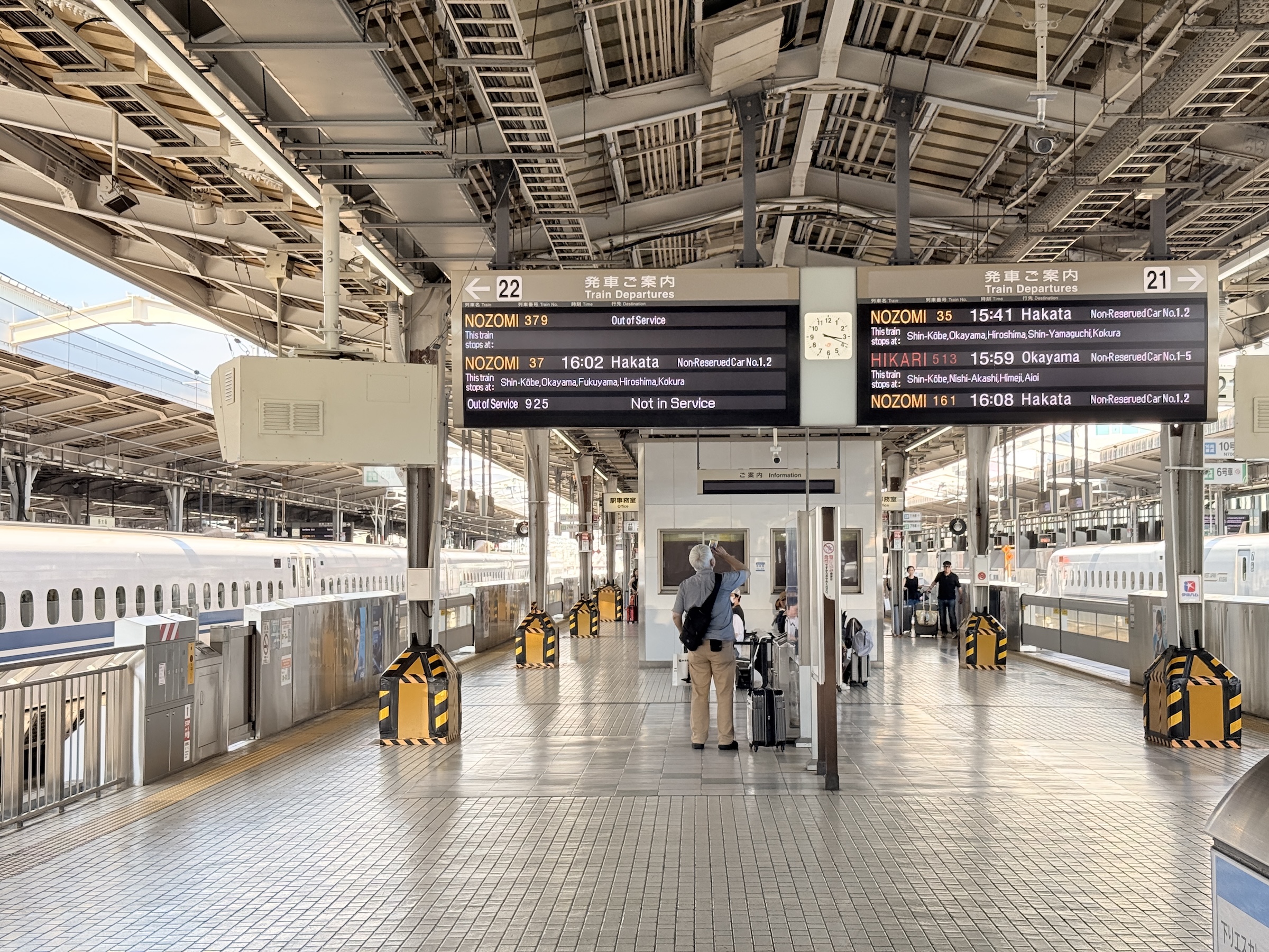
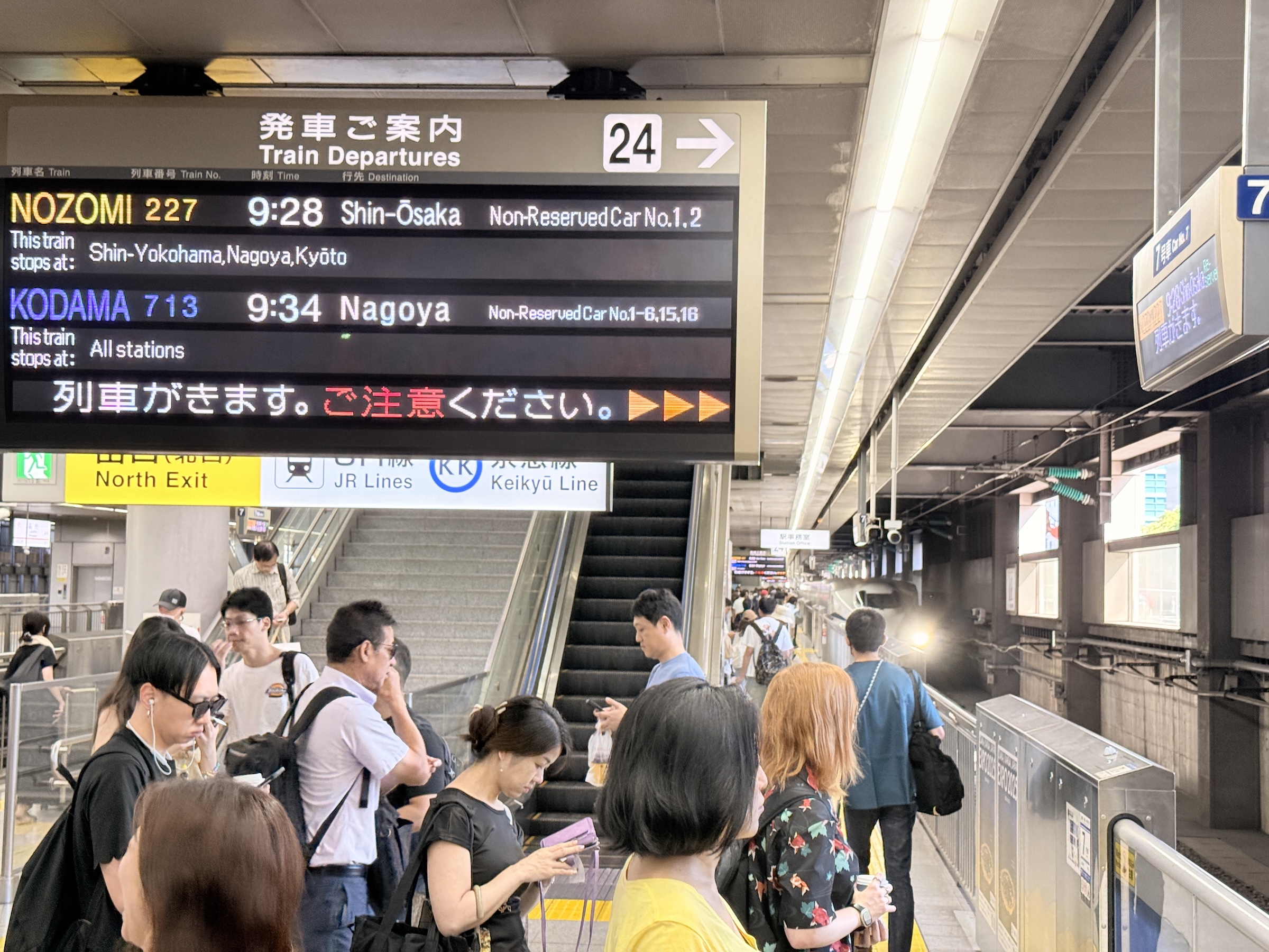
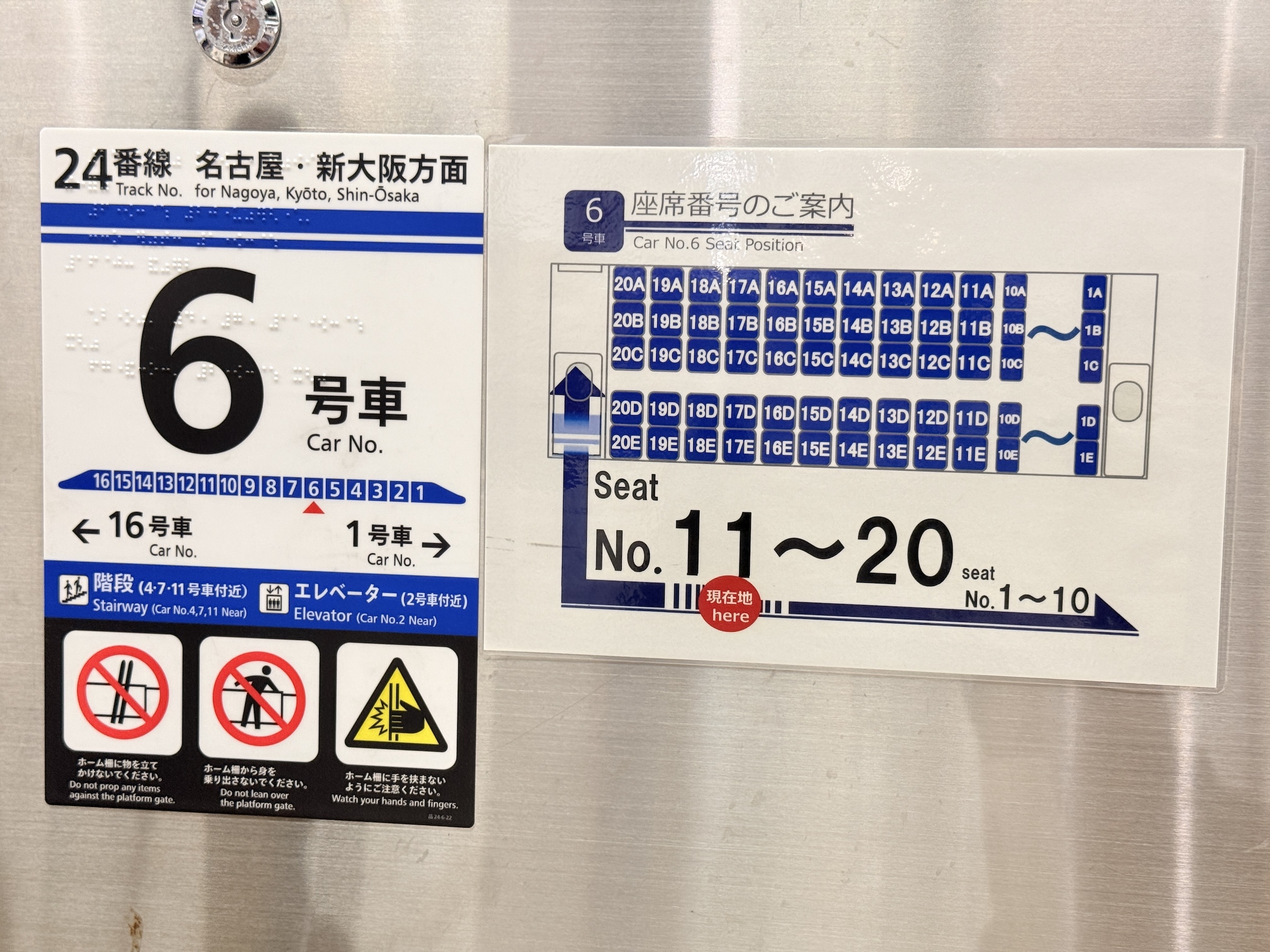
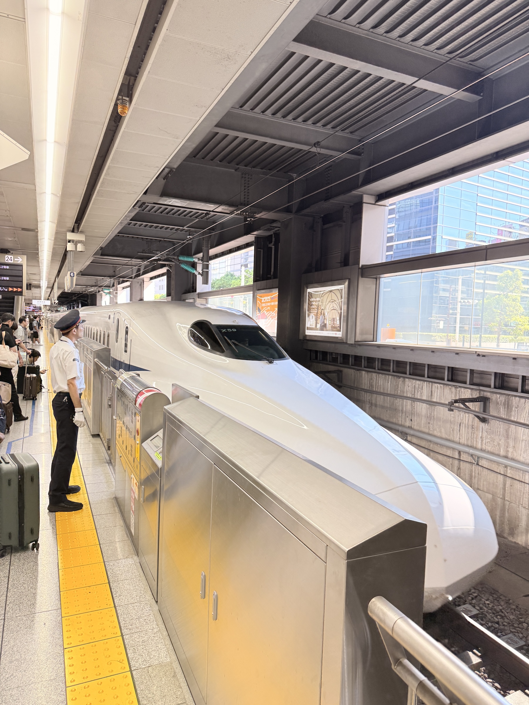
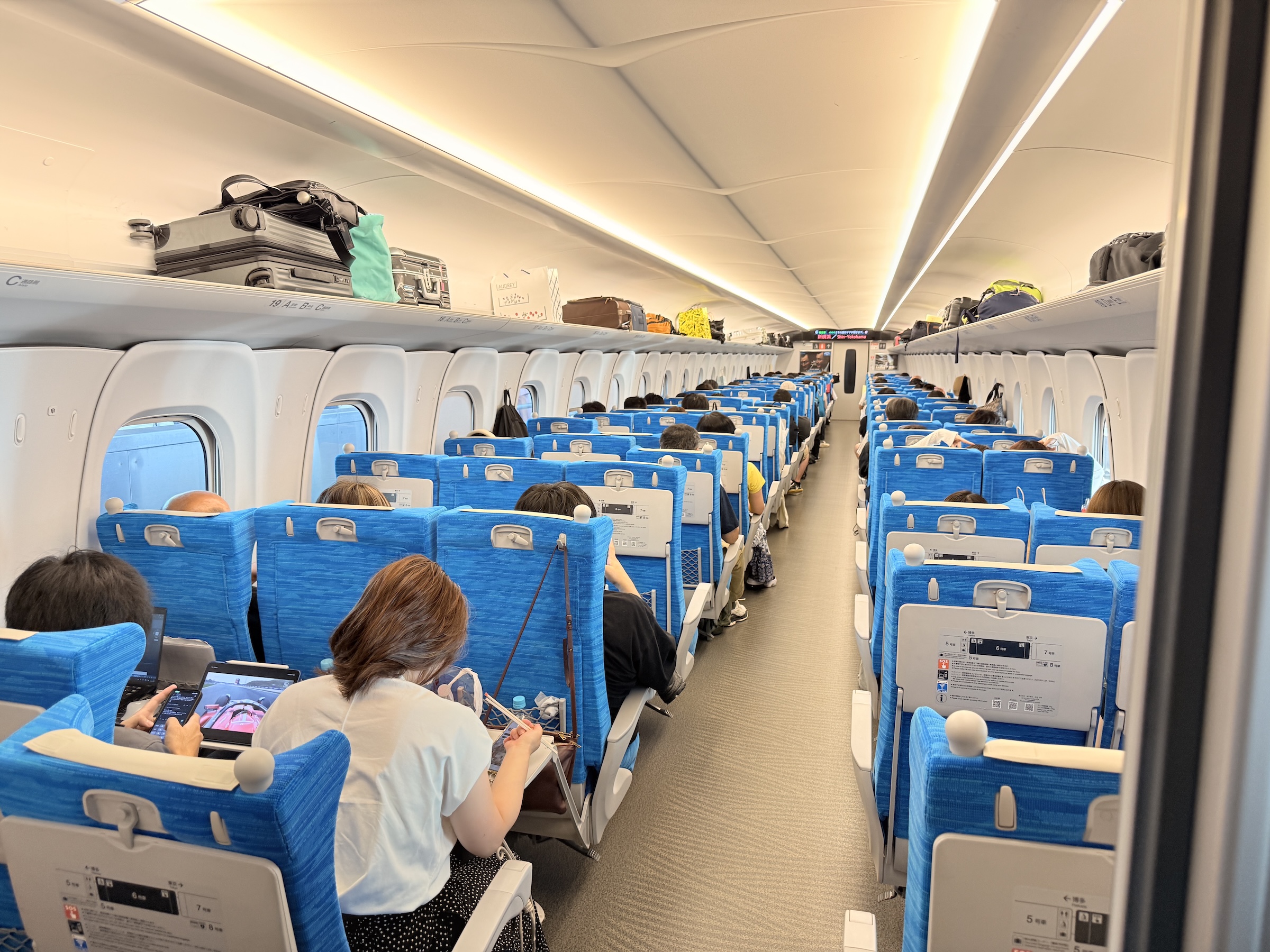
All went well with my train ride to Osaka.
It is an amazing experience to travel at 175 mph (280 km/h) on the tracks, with the landscape flying by the window.
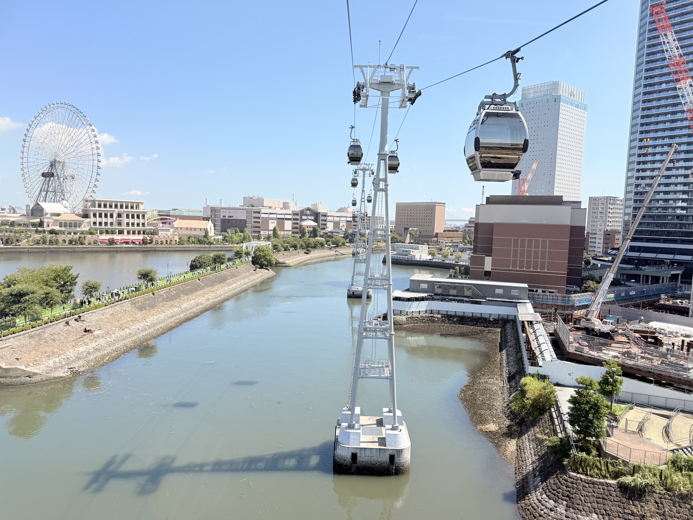
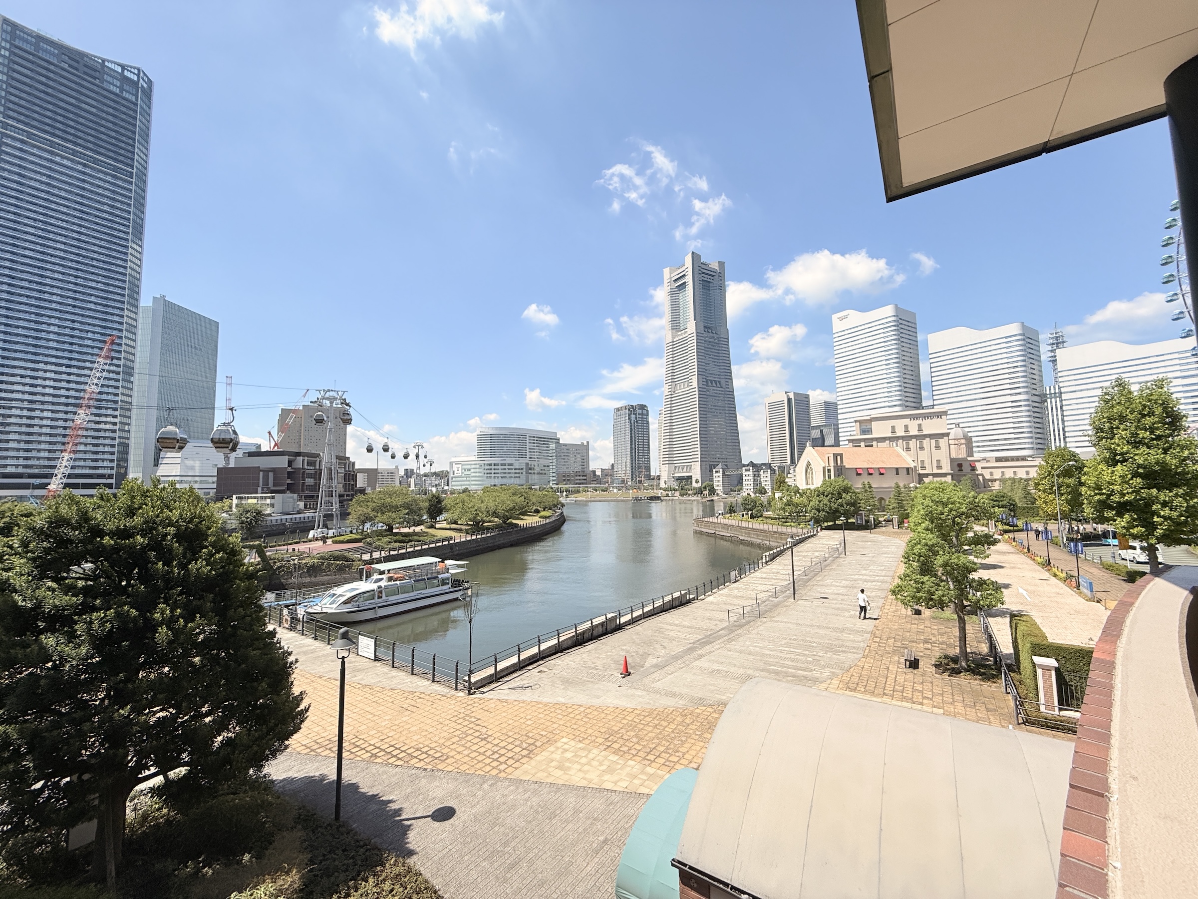
Yokohama is south of Tokyo, and one of the first Japanese ports that opened to foreign trade, in 1859.
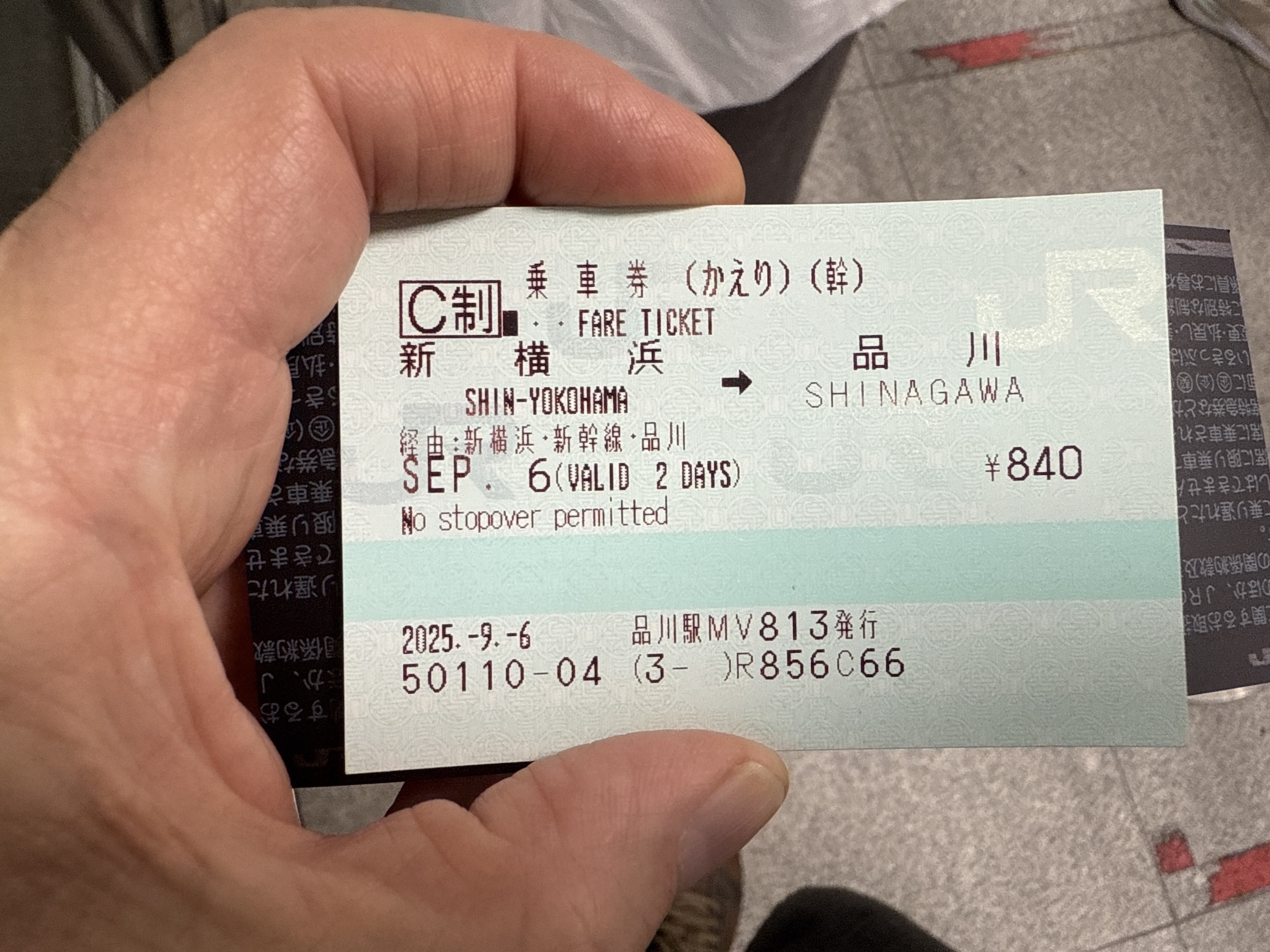
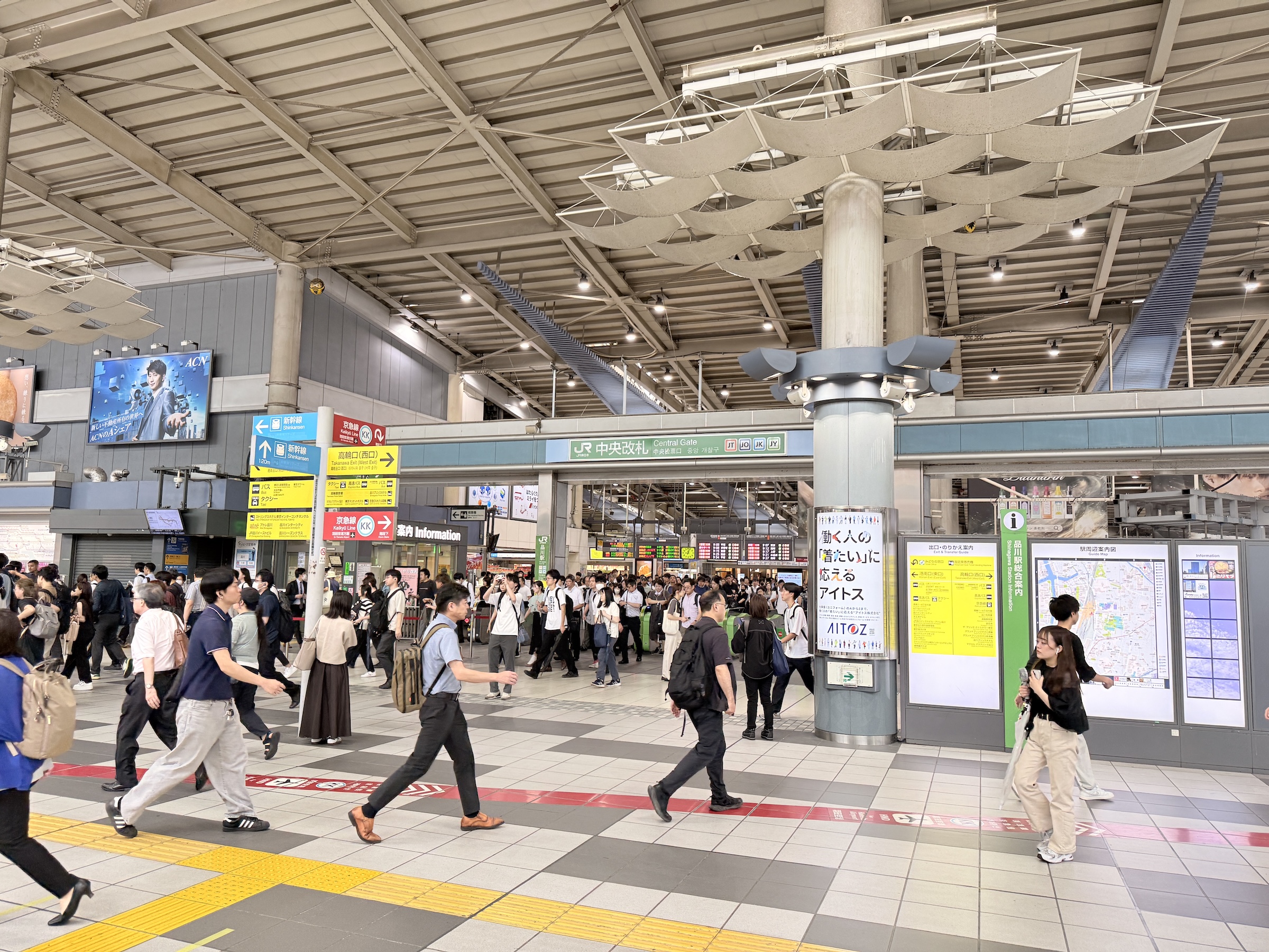
I made a run there on Saturday morning on the Nozomi shinkansen out of Shinagawa station— a trial run of sorts, for my trip to Osaka on Sunday.
It’s 19 km (12 miles) and only 18 minutes from station to station. A trip by car would take about 40 minutes.
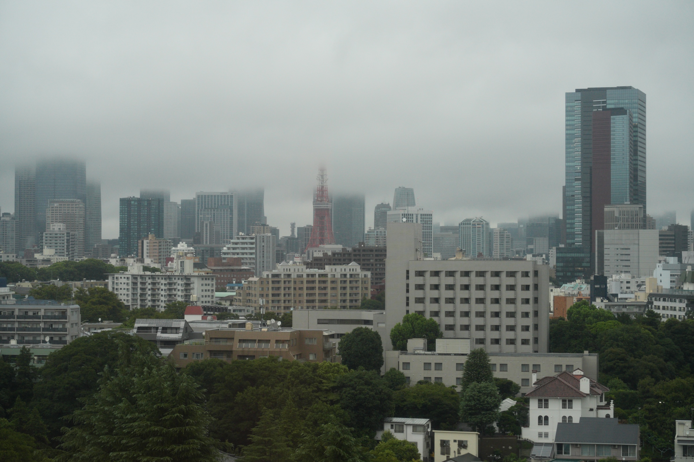
The rain was relentless on Friday here in Tokyo.
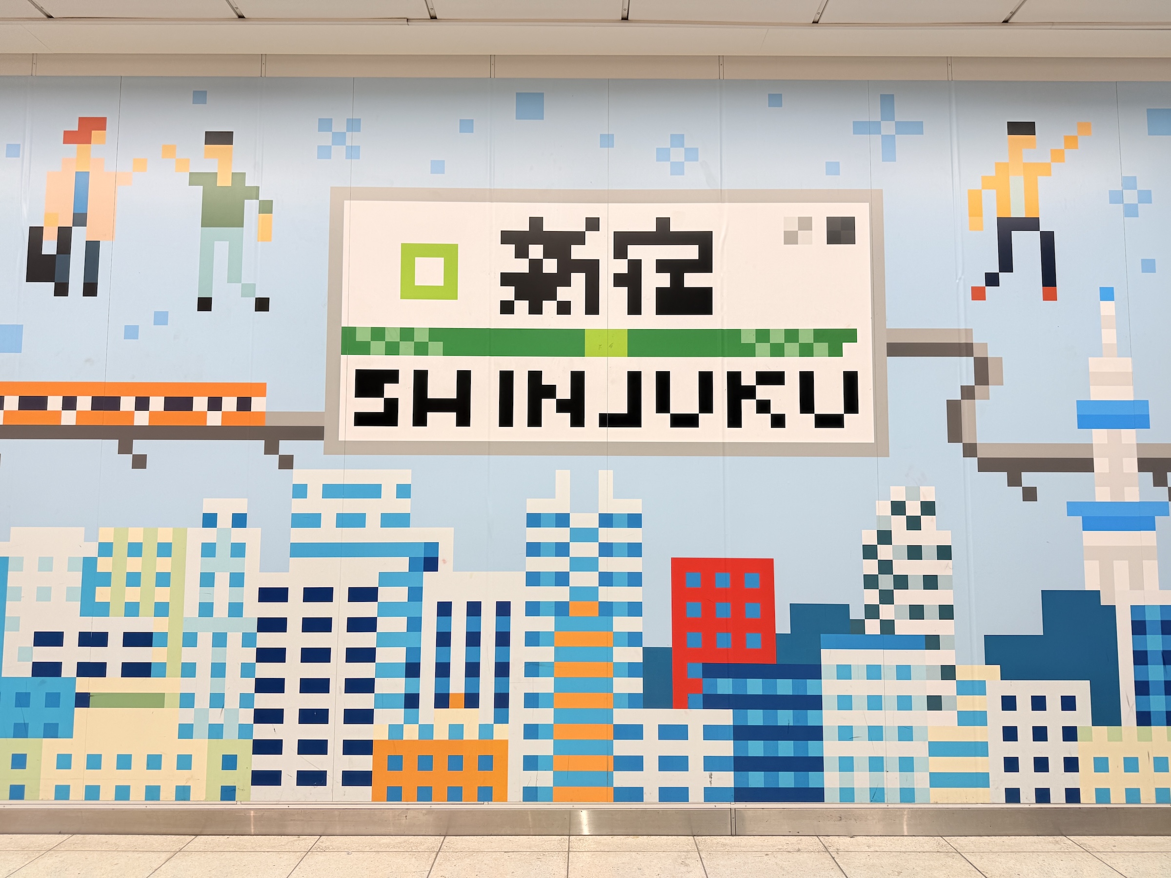
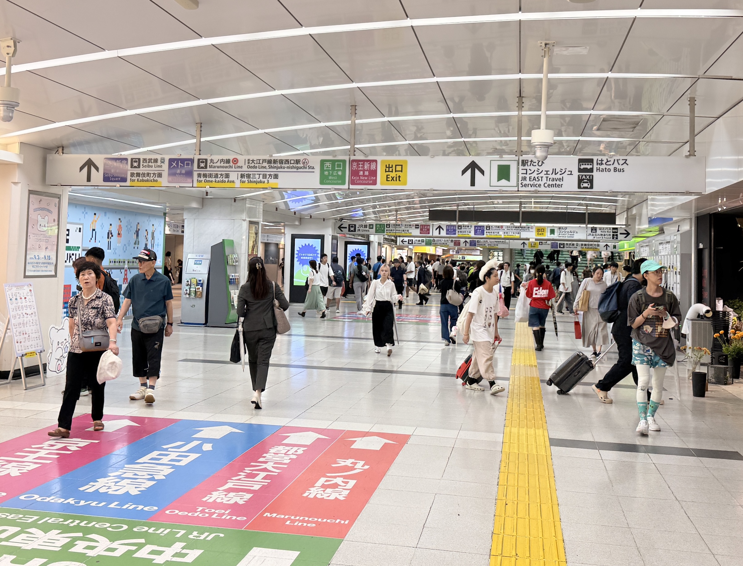
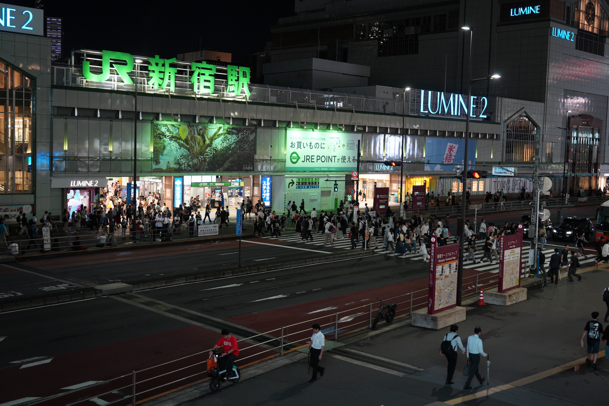
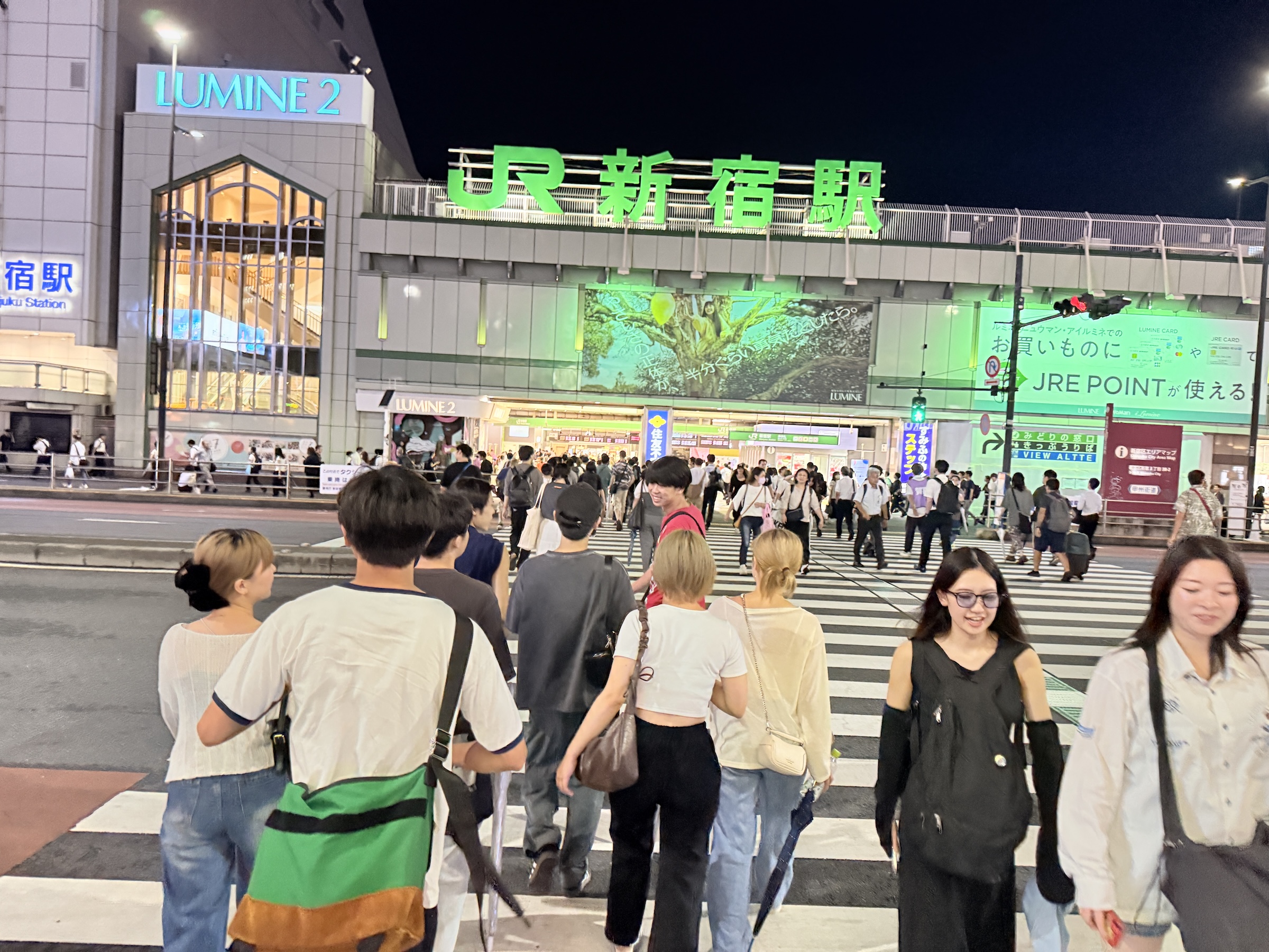
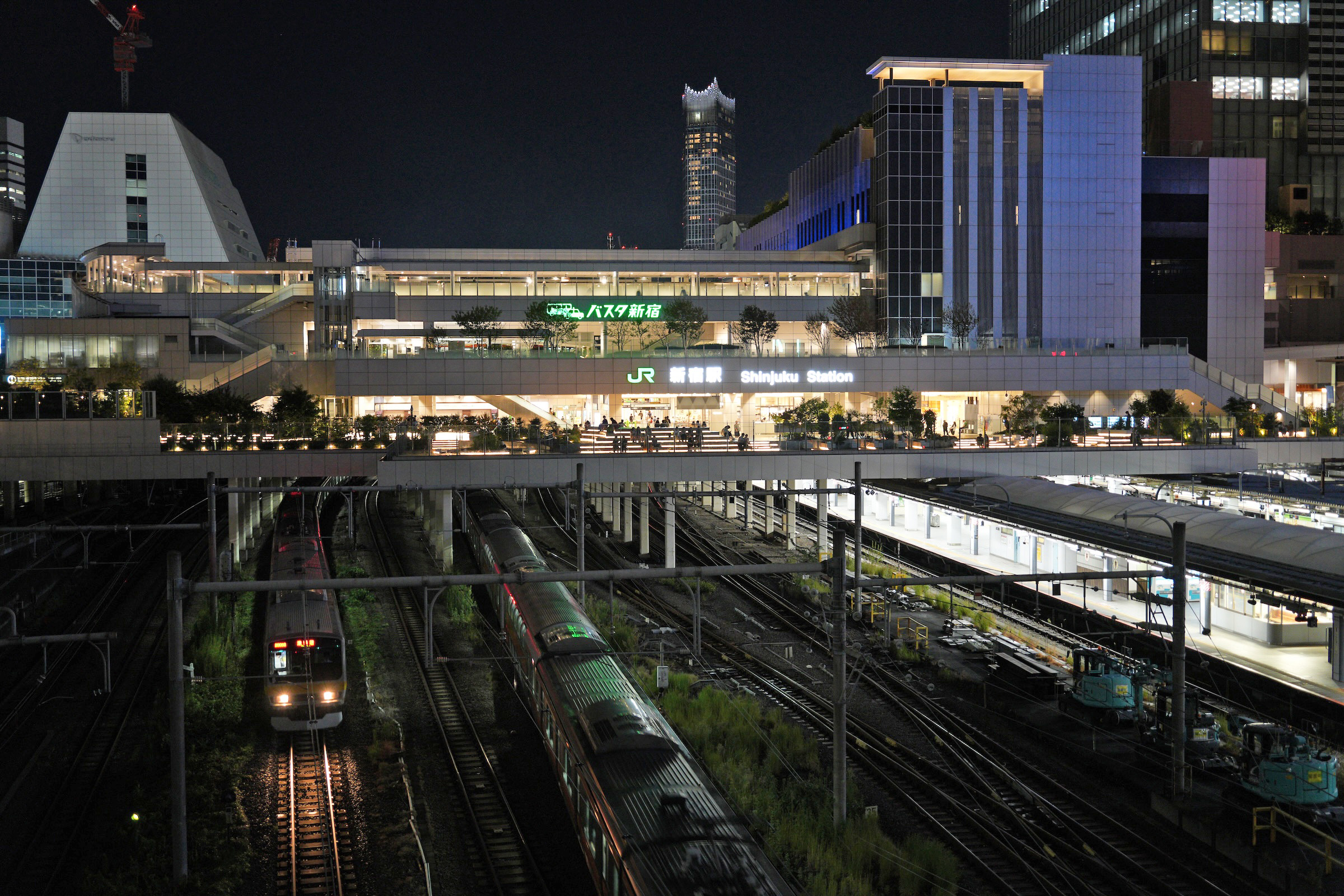
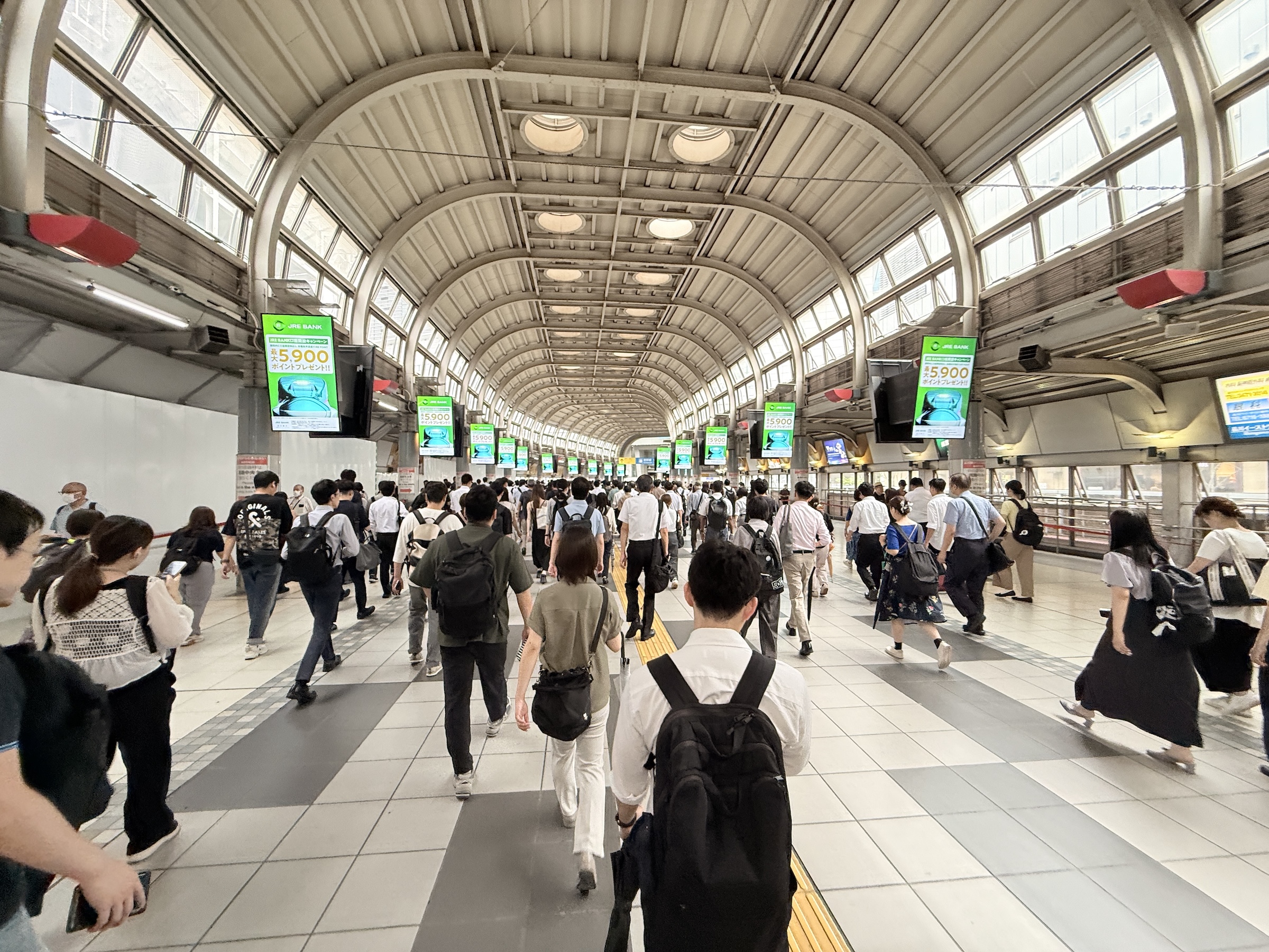
I ran out to Shinjuku train station in the morning and got lost inside the enormous station— before getting soaked in the torrential rain outside of it. 😱
Come early evening the rain was over, though, and I went back to see if I could navigate the station better, and to take a few photos.
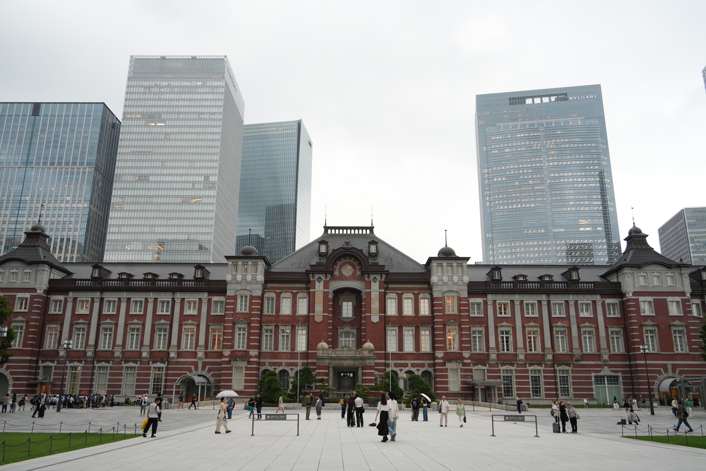
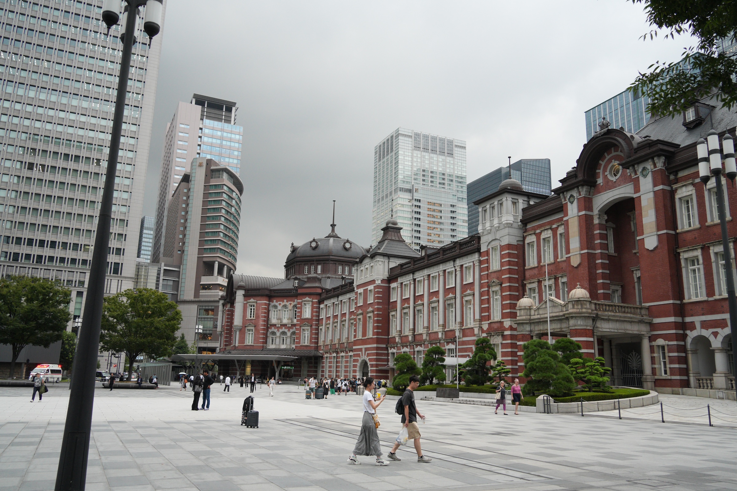
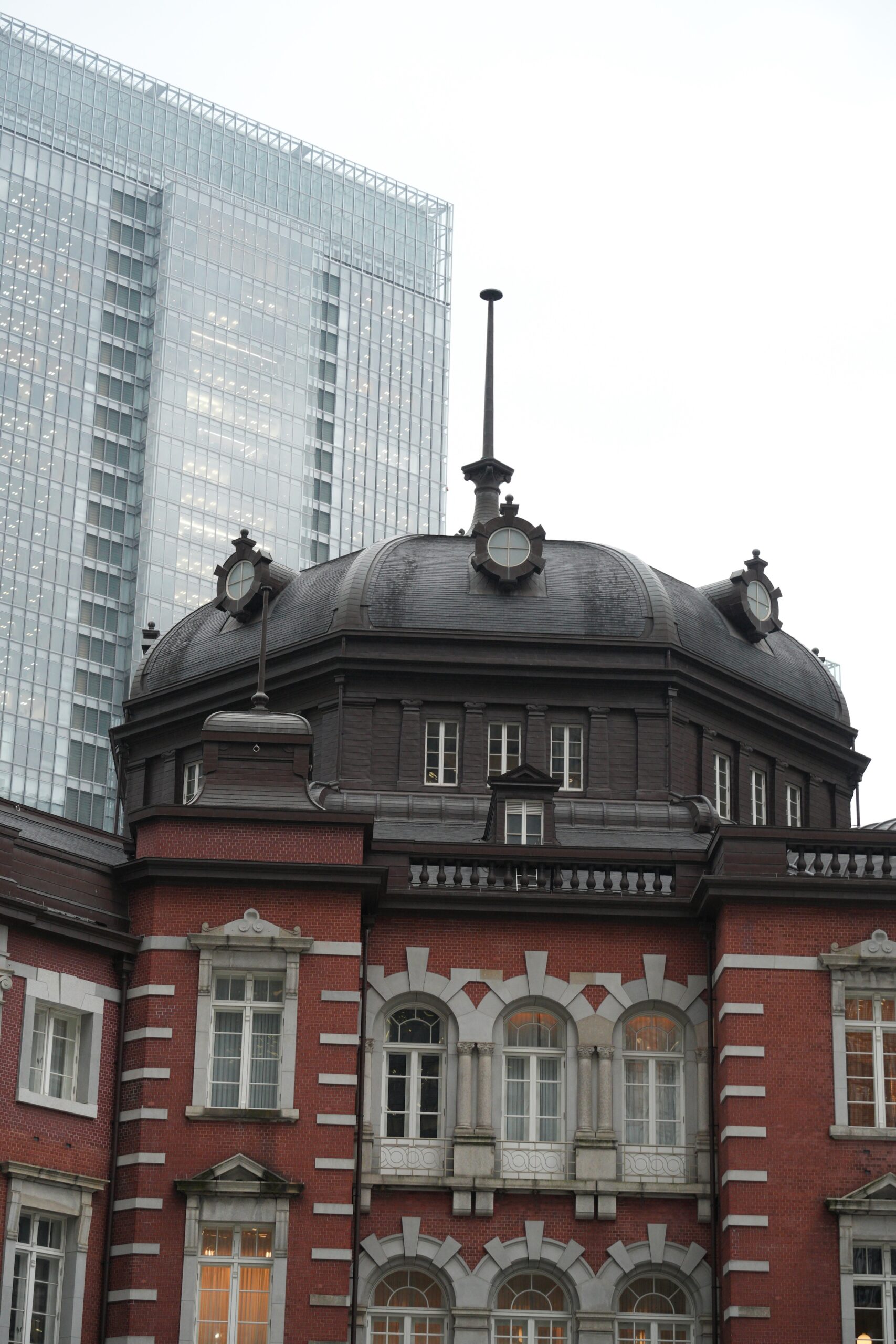
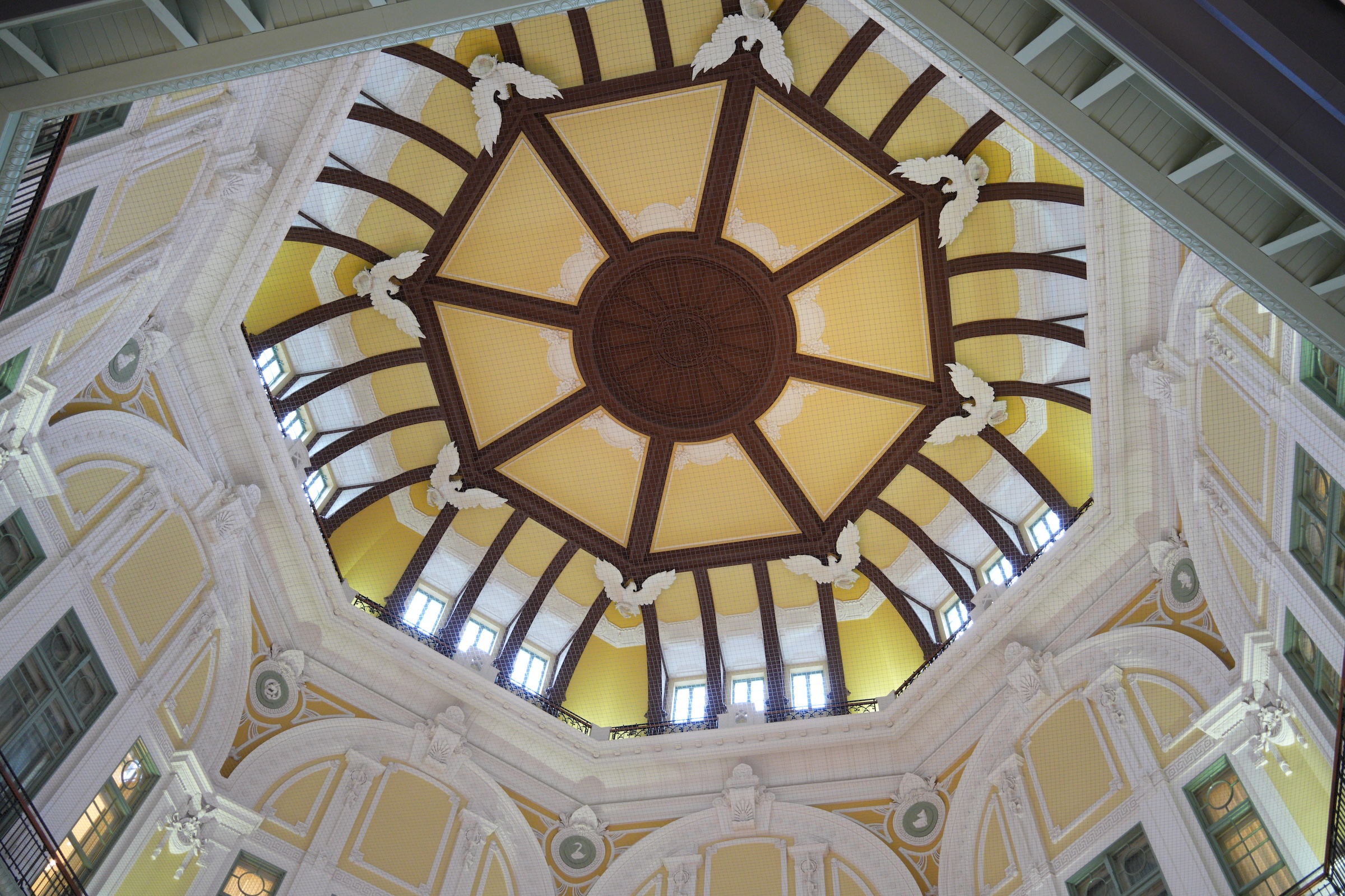
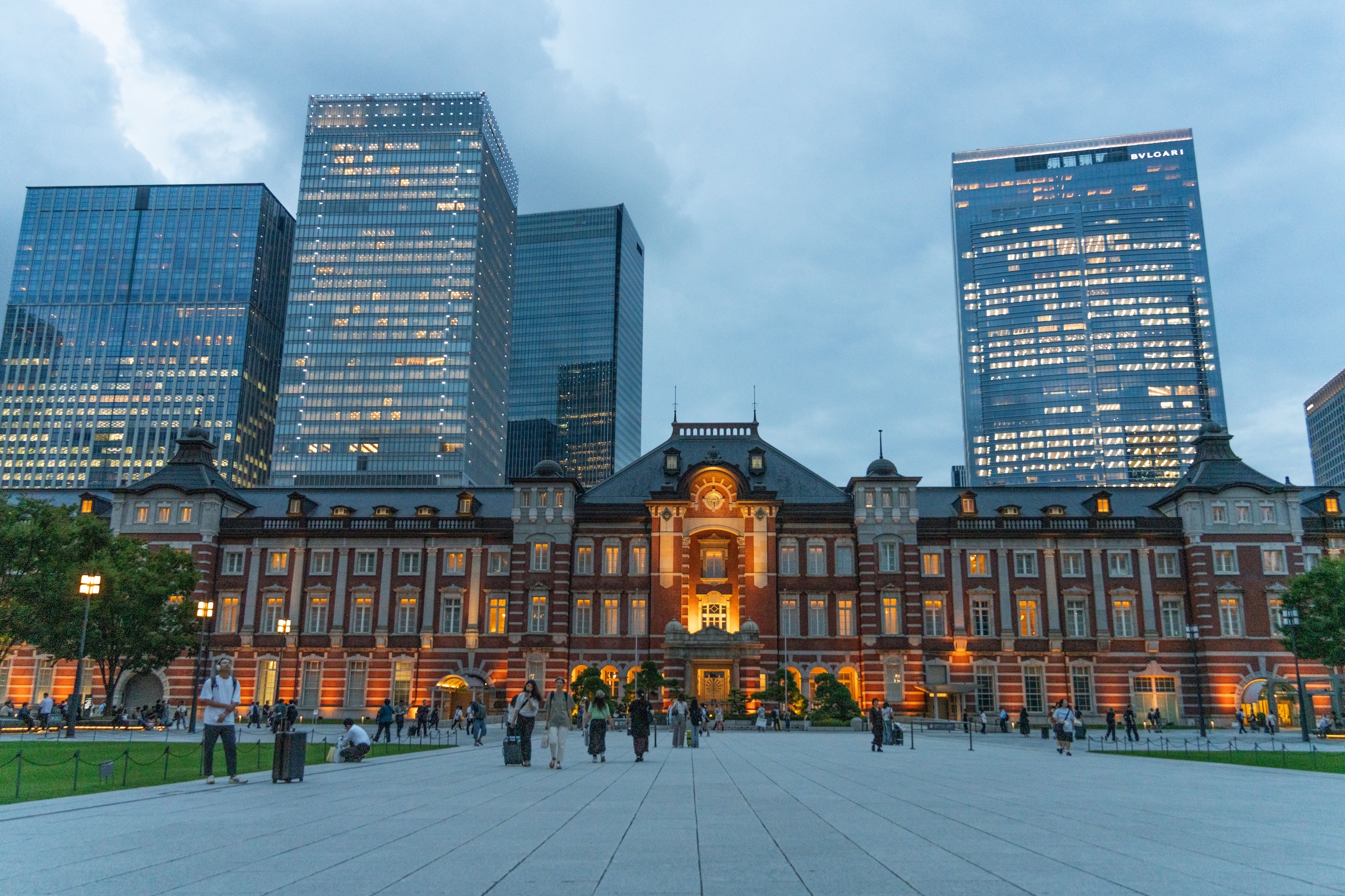
There was drizzle on and off here in Tokyo on Thursday, at a damp 85°F (30 °C).
Outside, I could only take pictures here and there with my big camera, but managed to get a few of the iconic 1914 Tokyo Station building (extensively renovated and restored in 2012).
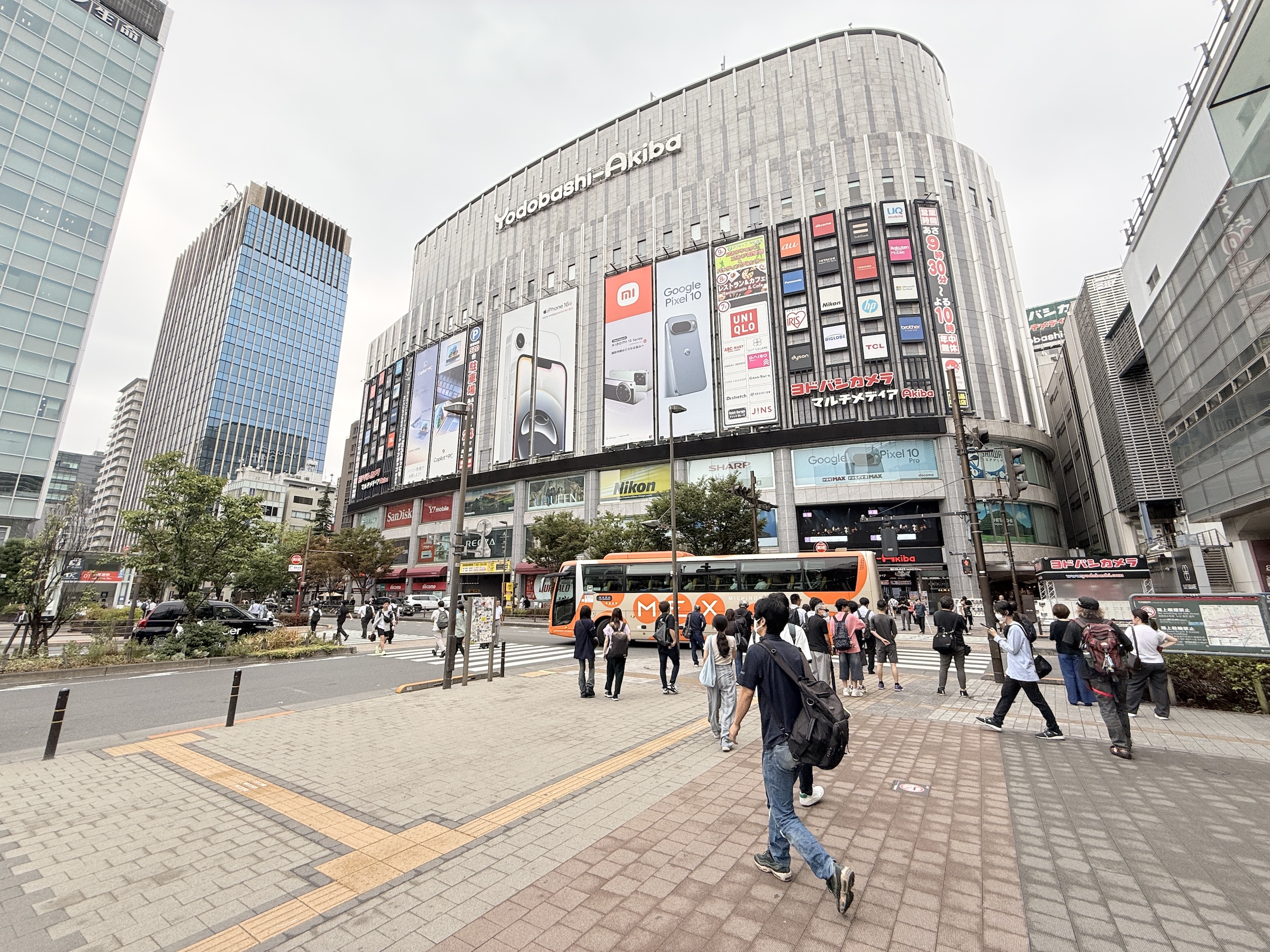
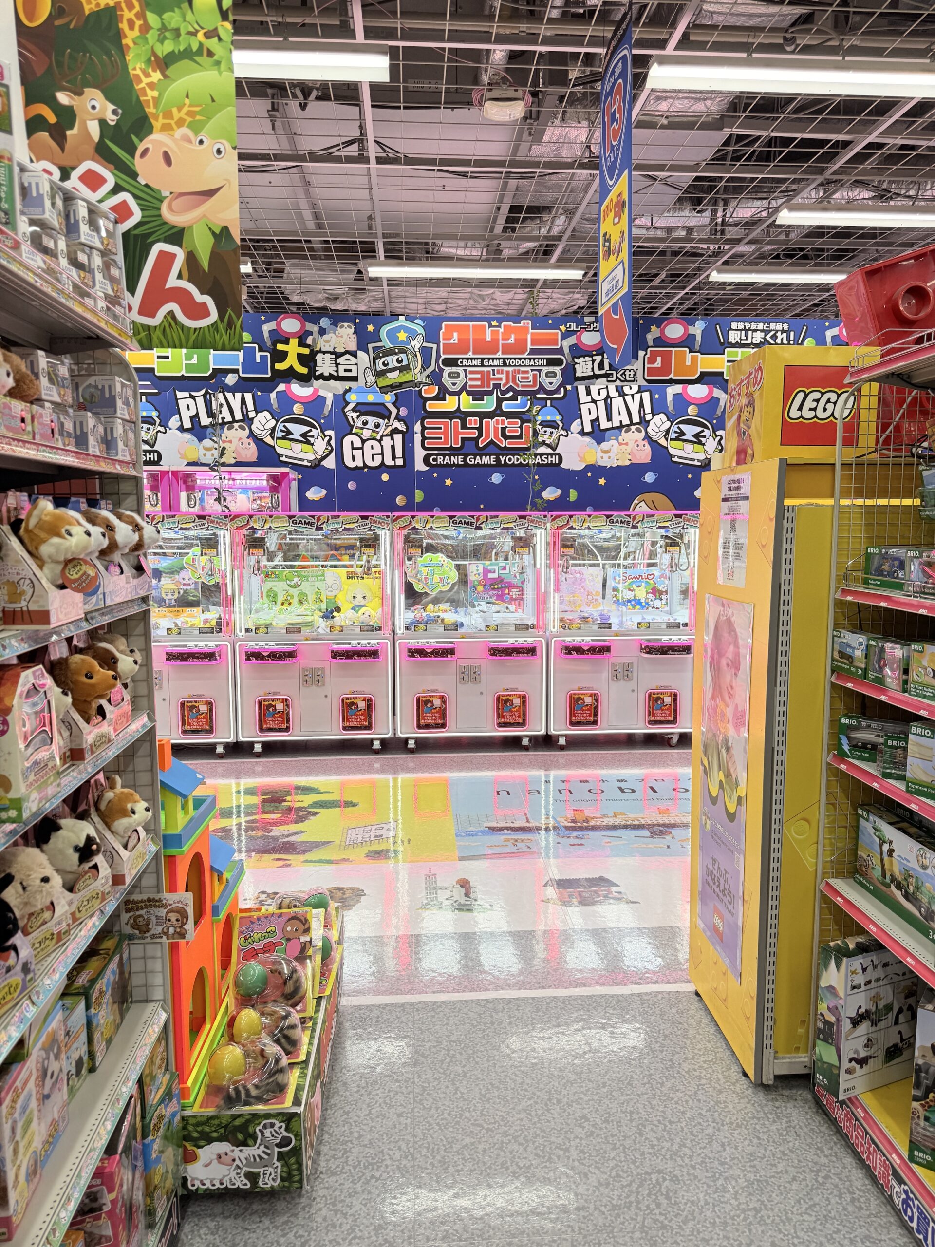
I also made my first run to the Yodobashi Akiba store in Akihabara.
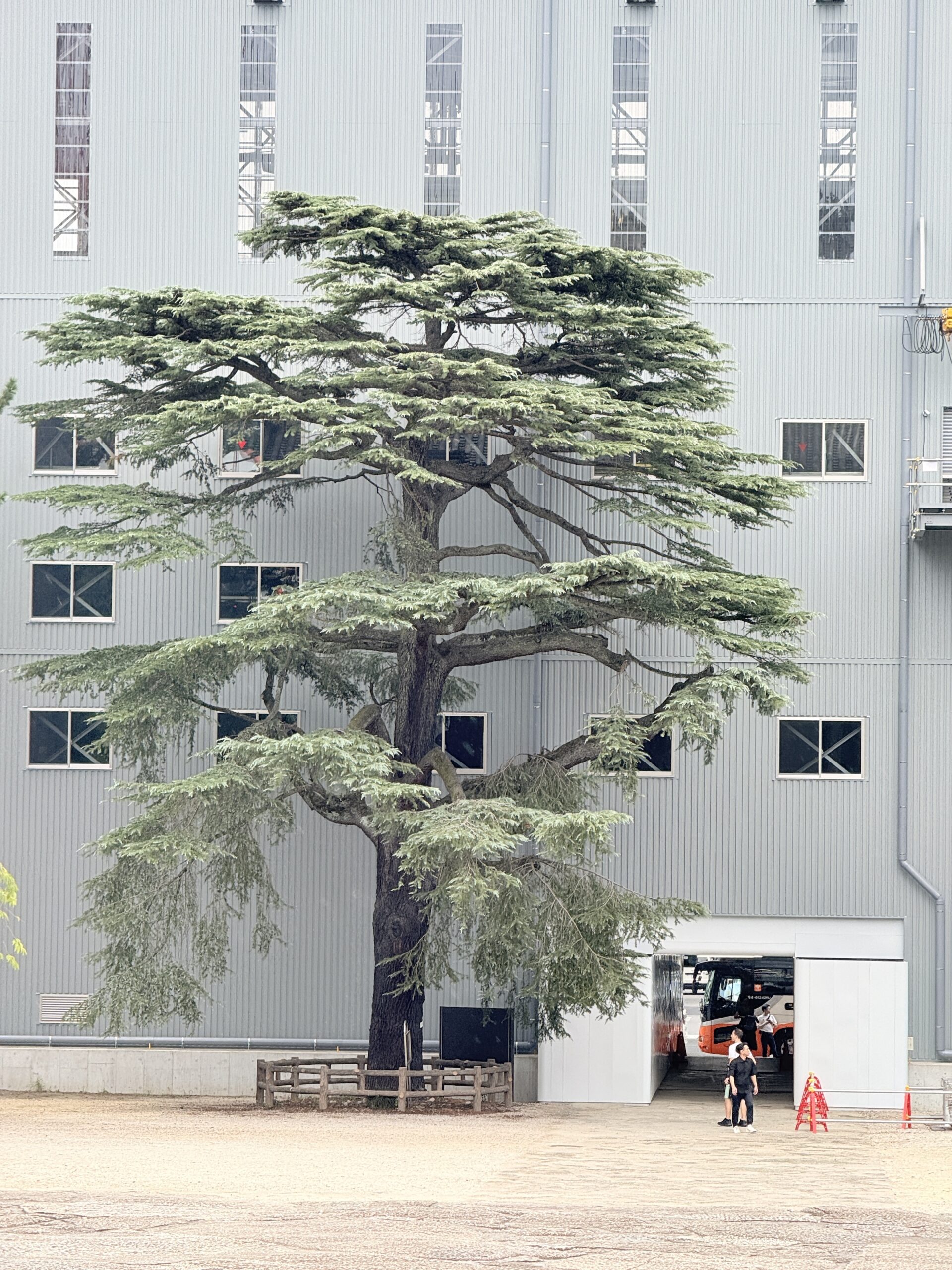
I take my new camera with me now, every time I go for a walk.
I’m still learning to adjust the exposure and the auto-focus mode.
I also paired the camera with my iPhone (via Bluetooth) so that that the GPS coordinates of my location for each picture can be recorded in the camera on the metadata for the image.
There is a drawback, though: the camera’s battery runs down much more rapidly if it is connected to the phone all the time.
The camera actually has an airplane mode, but it’s a pain to switch it on and off multiple times while walking around.
Better to carry one or two spare batteries to pop into it when one runs out.