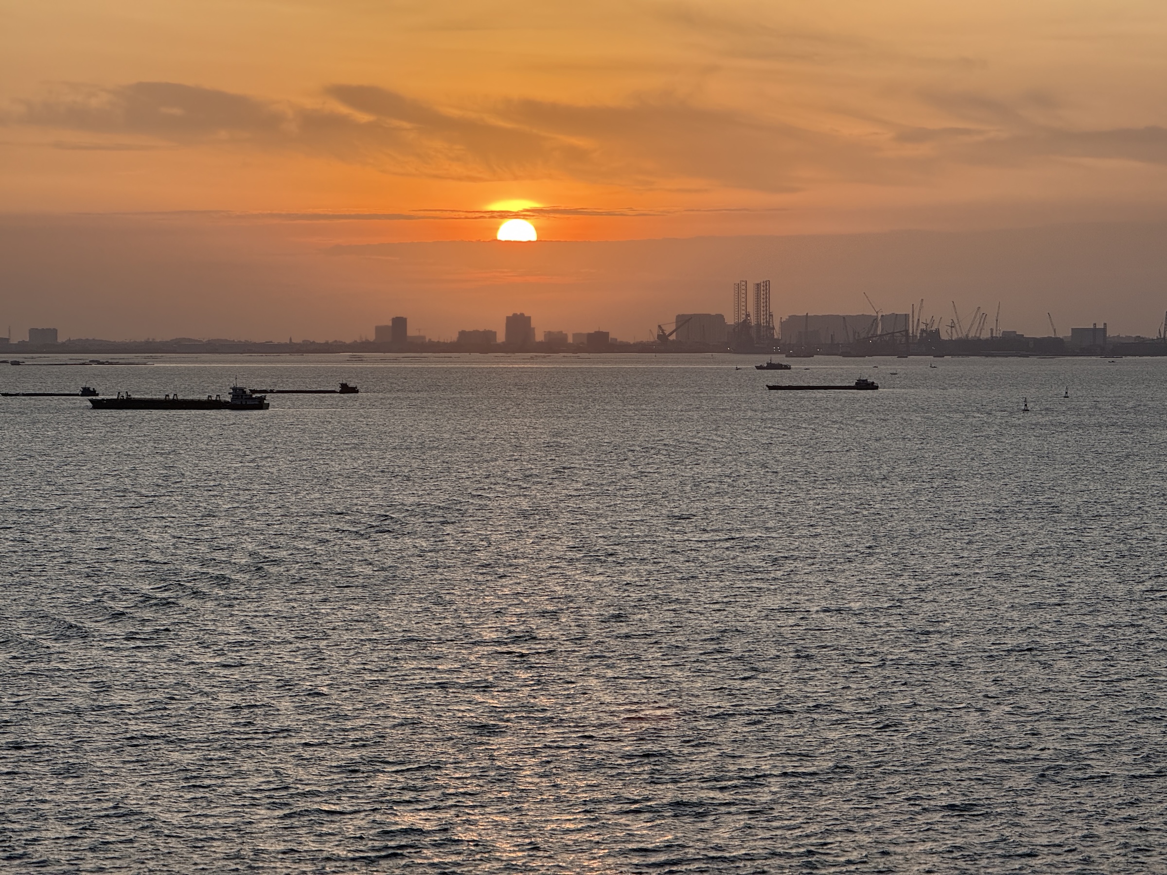
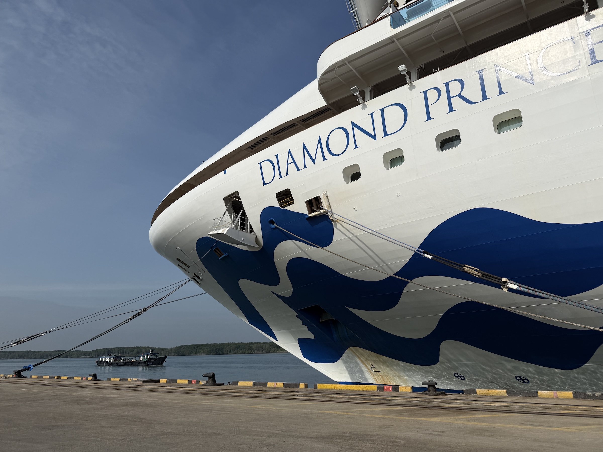
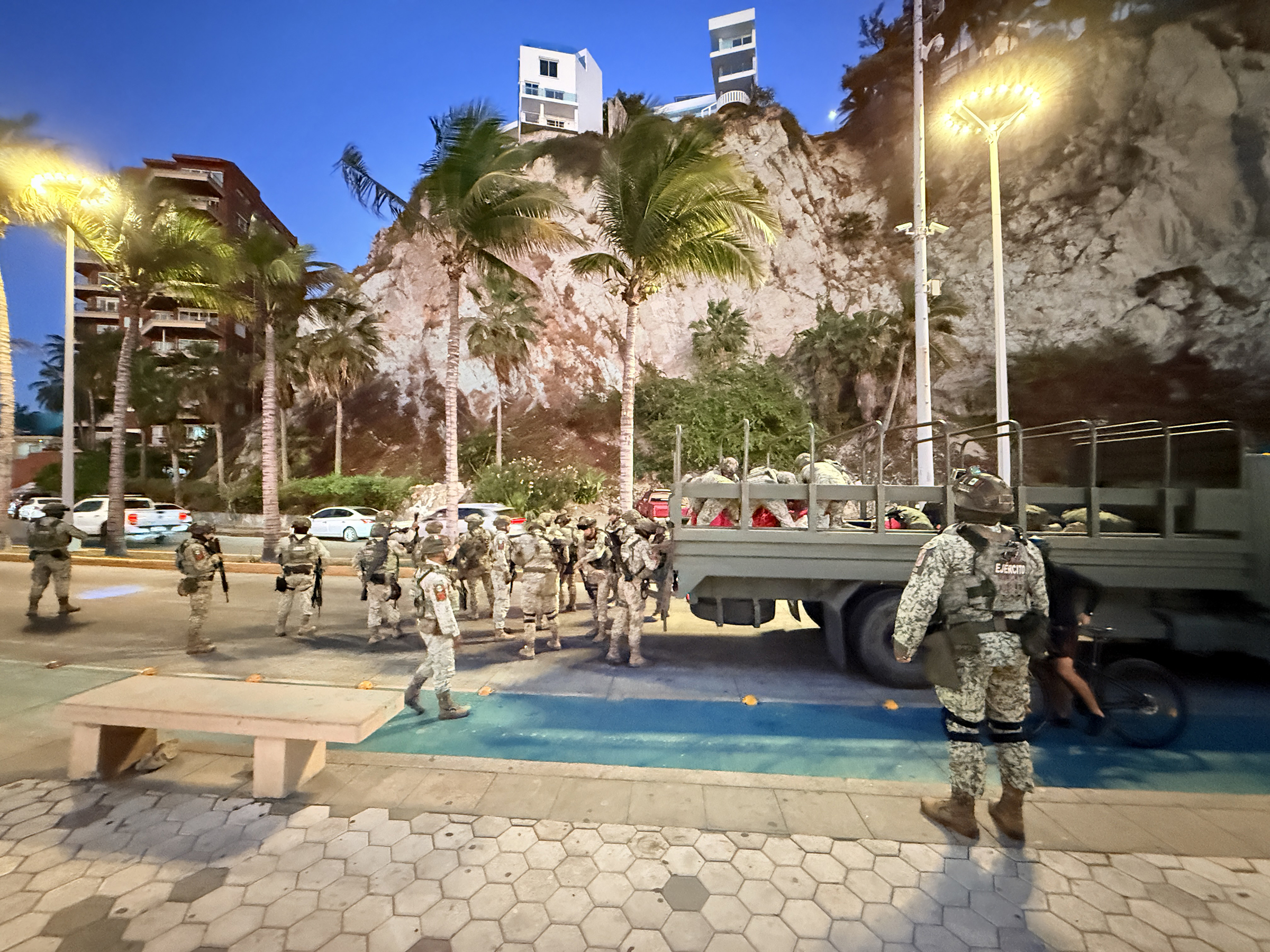
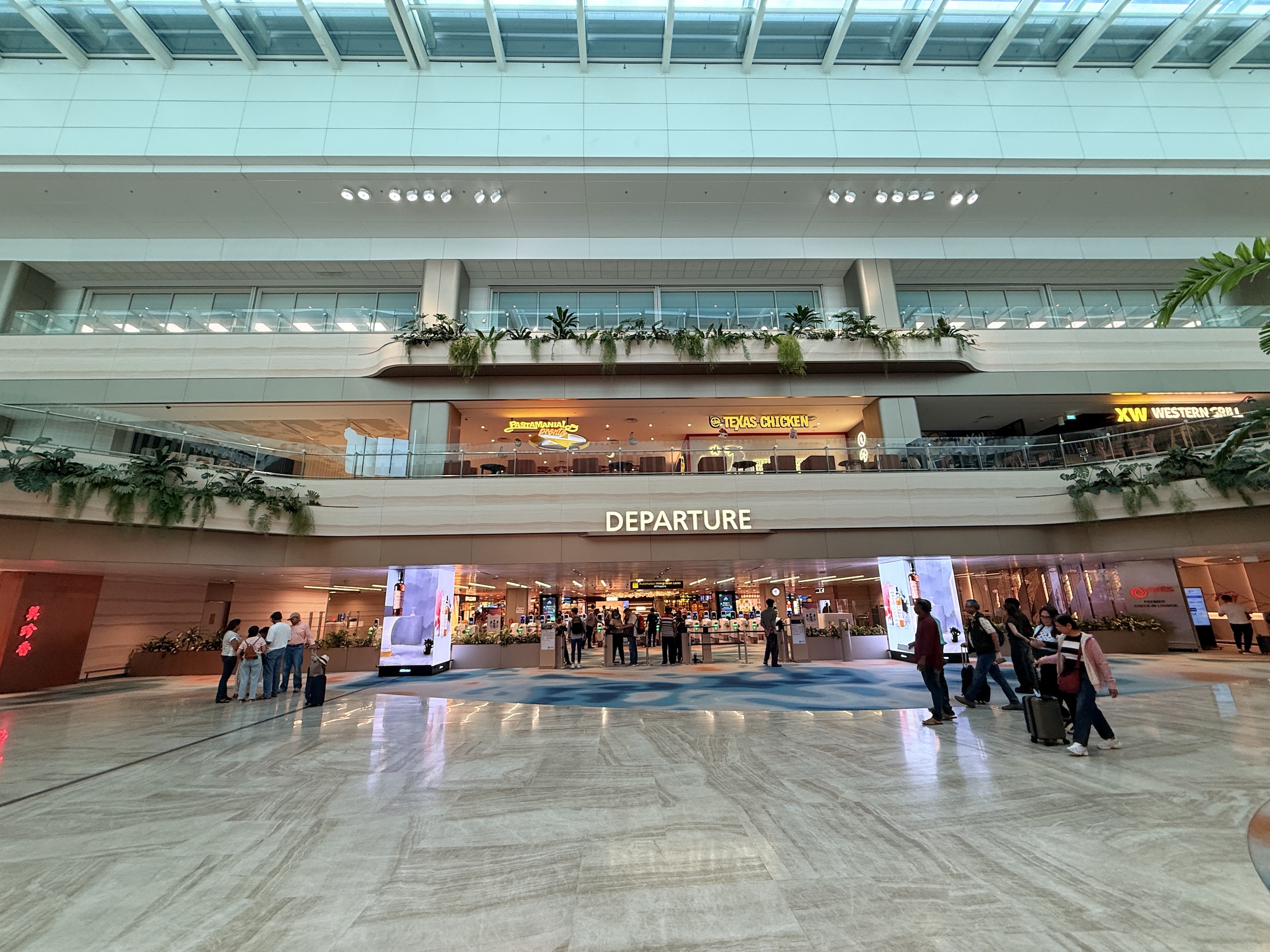
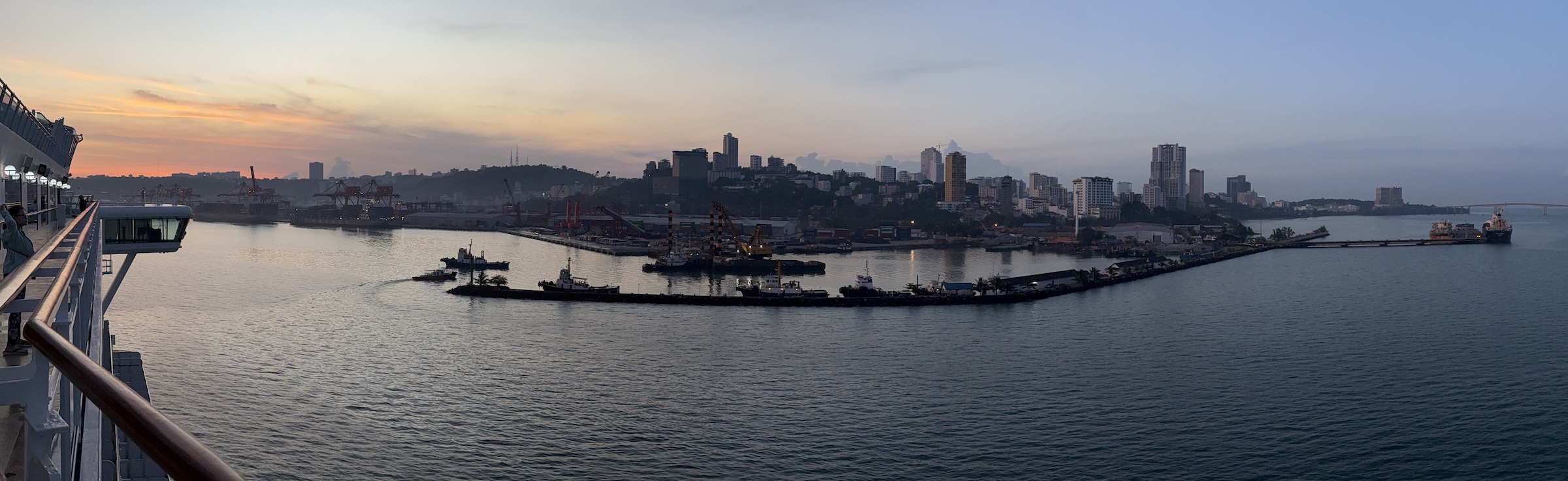
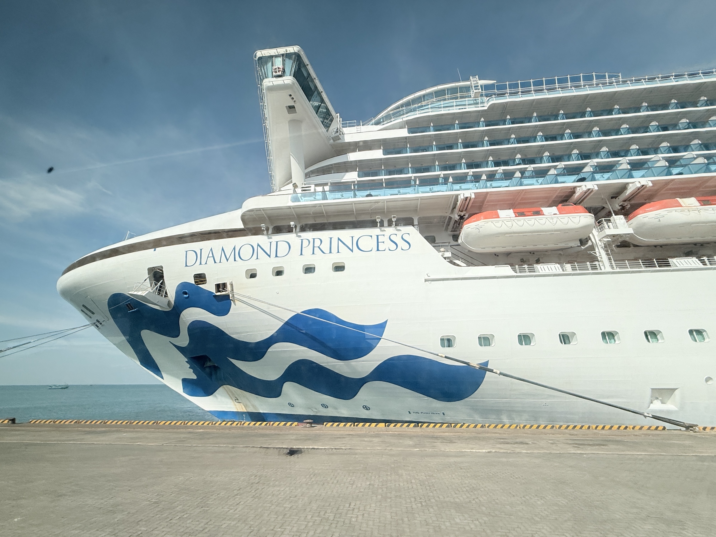
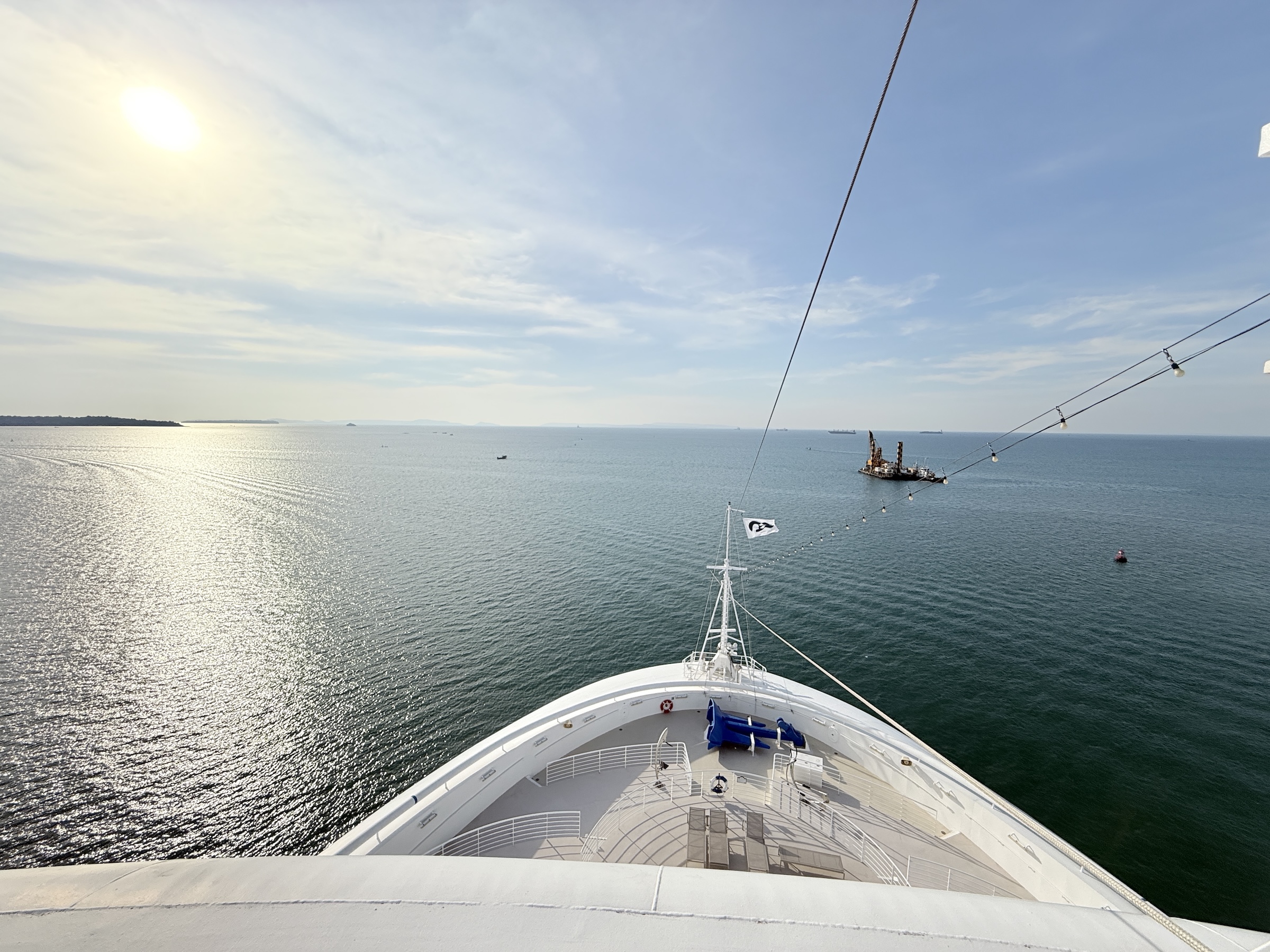
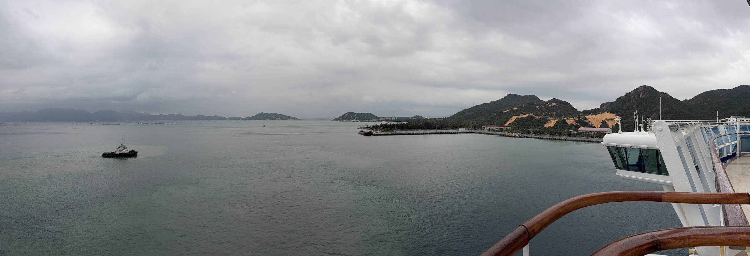
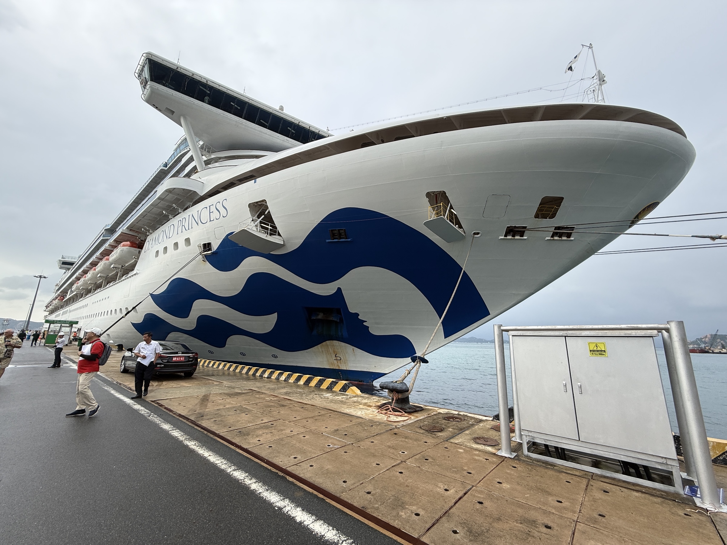
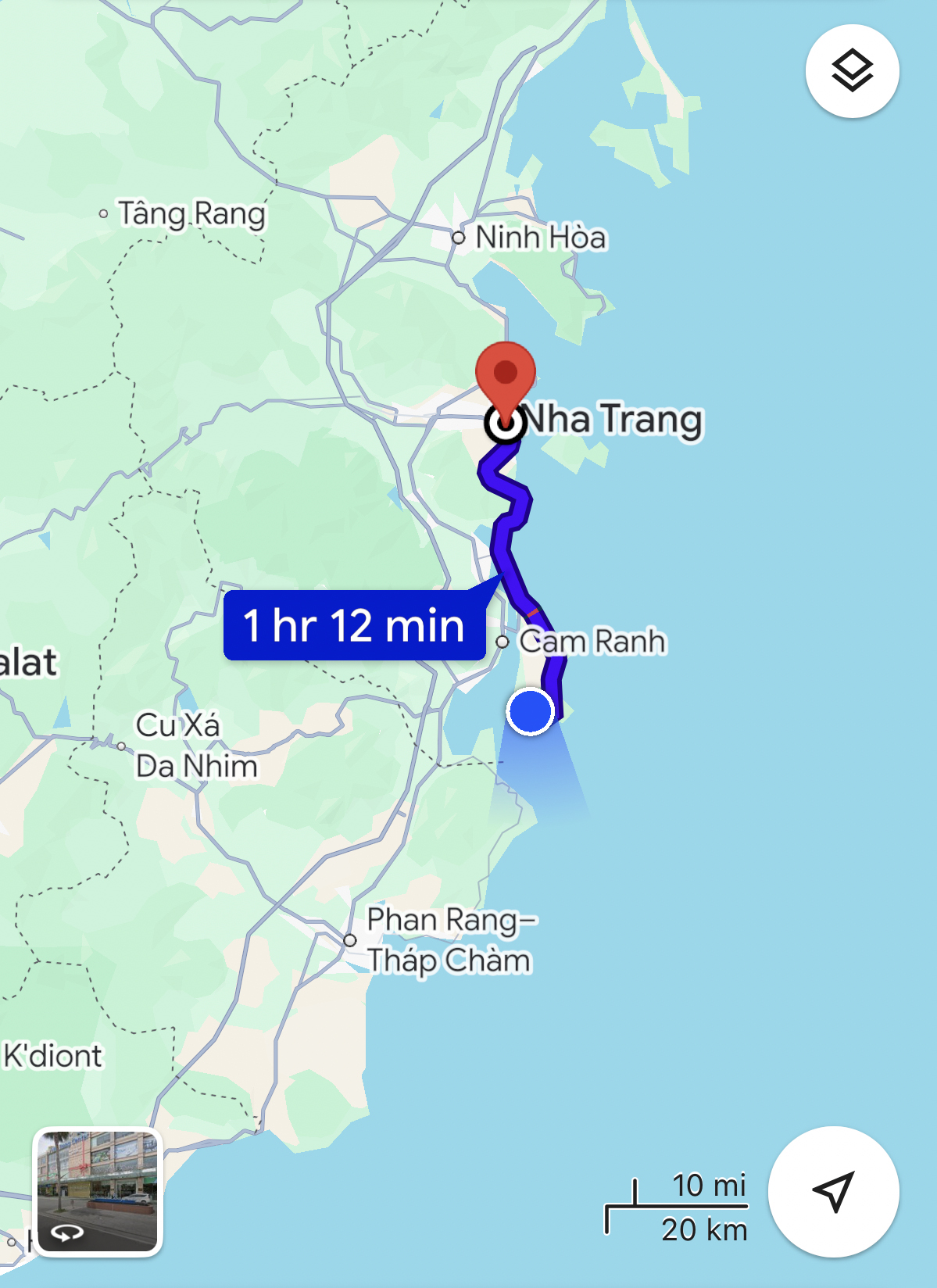
The Diamond Princess arrived at the deep-water port of Phú Mỹ at 8 am on Saturday morning.
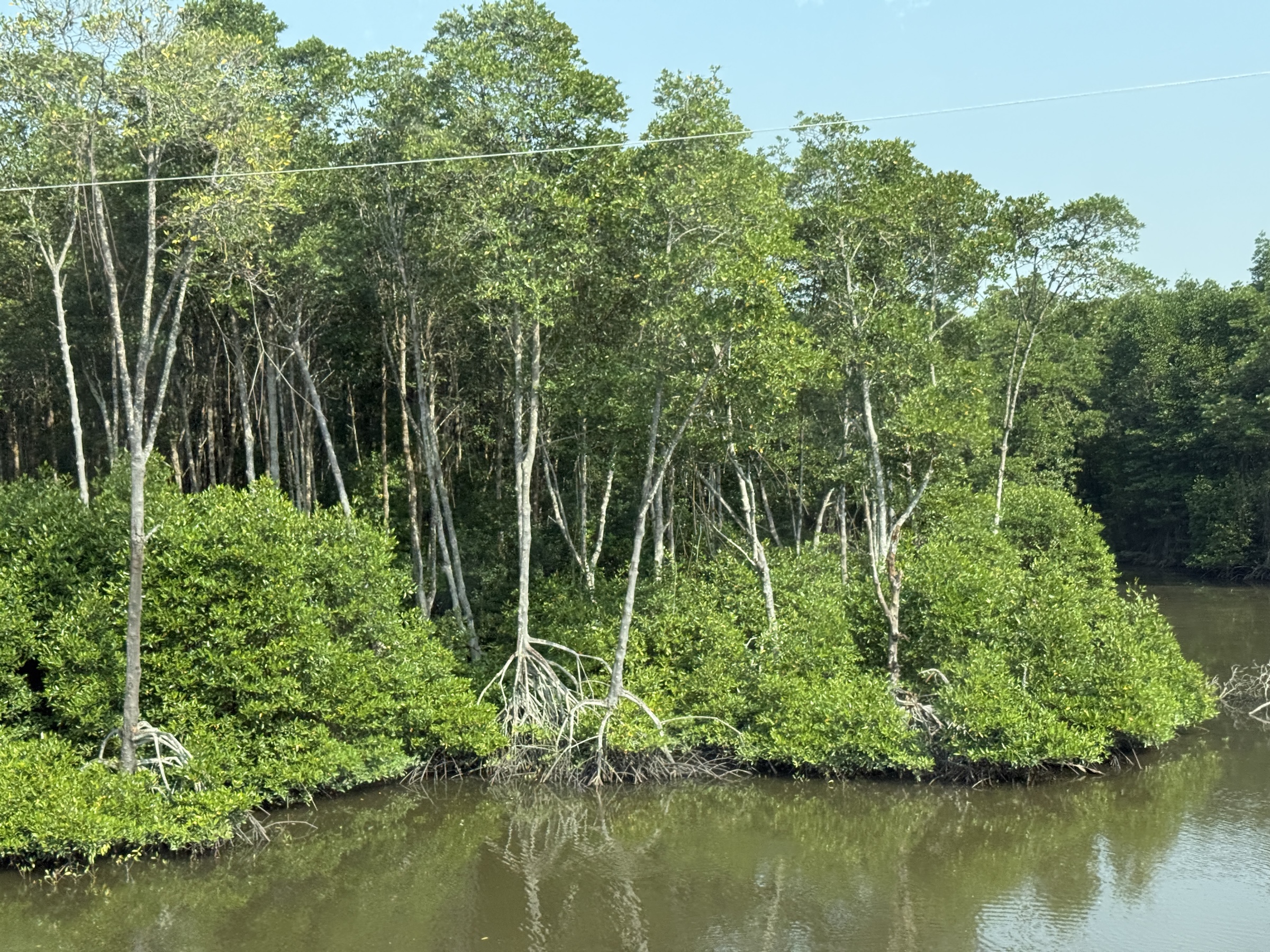
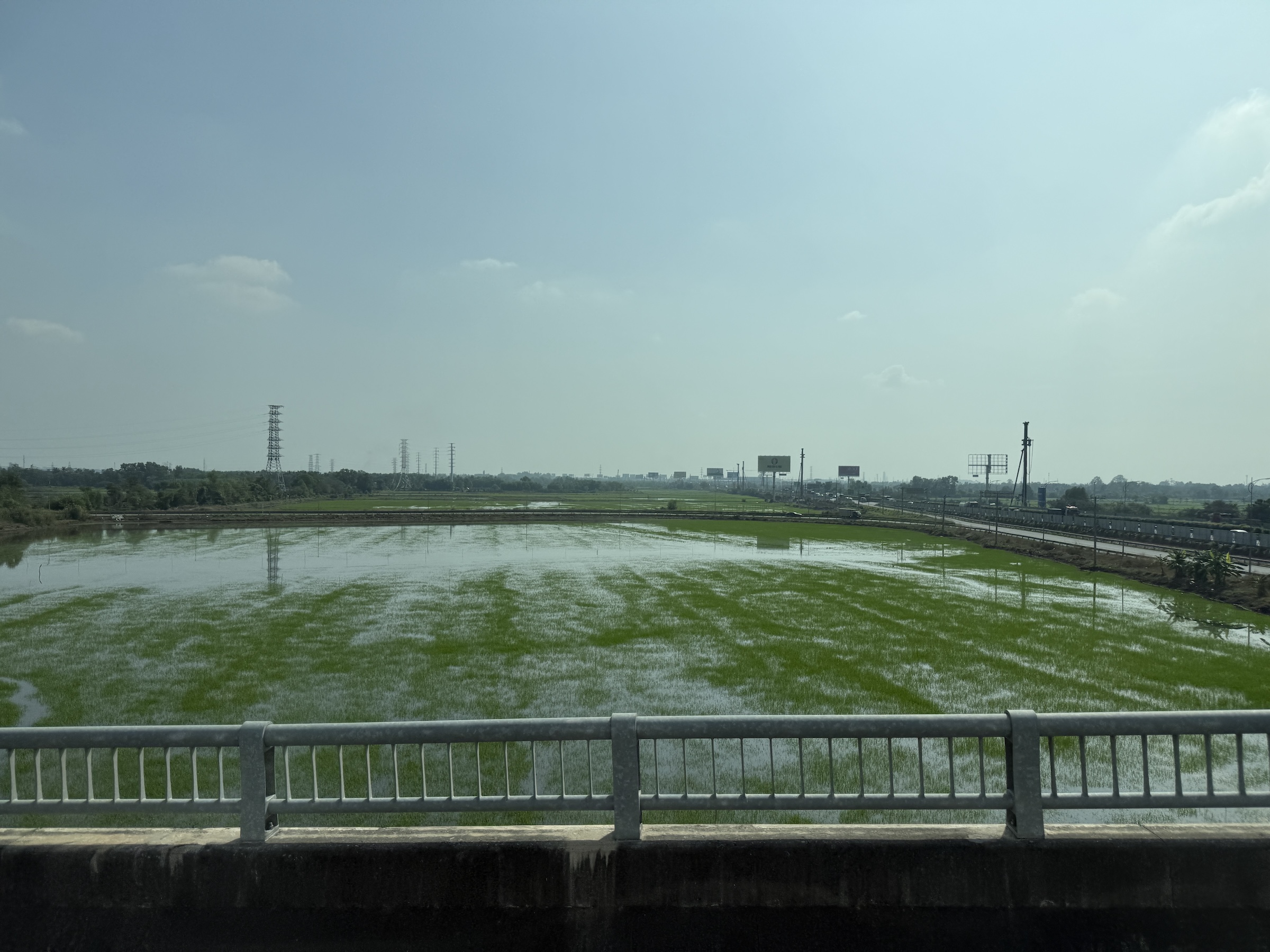
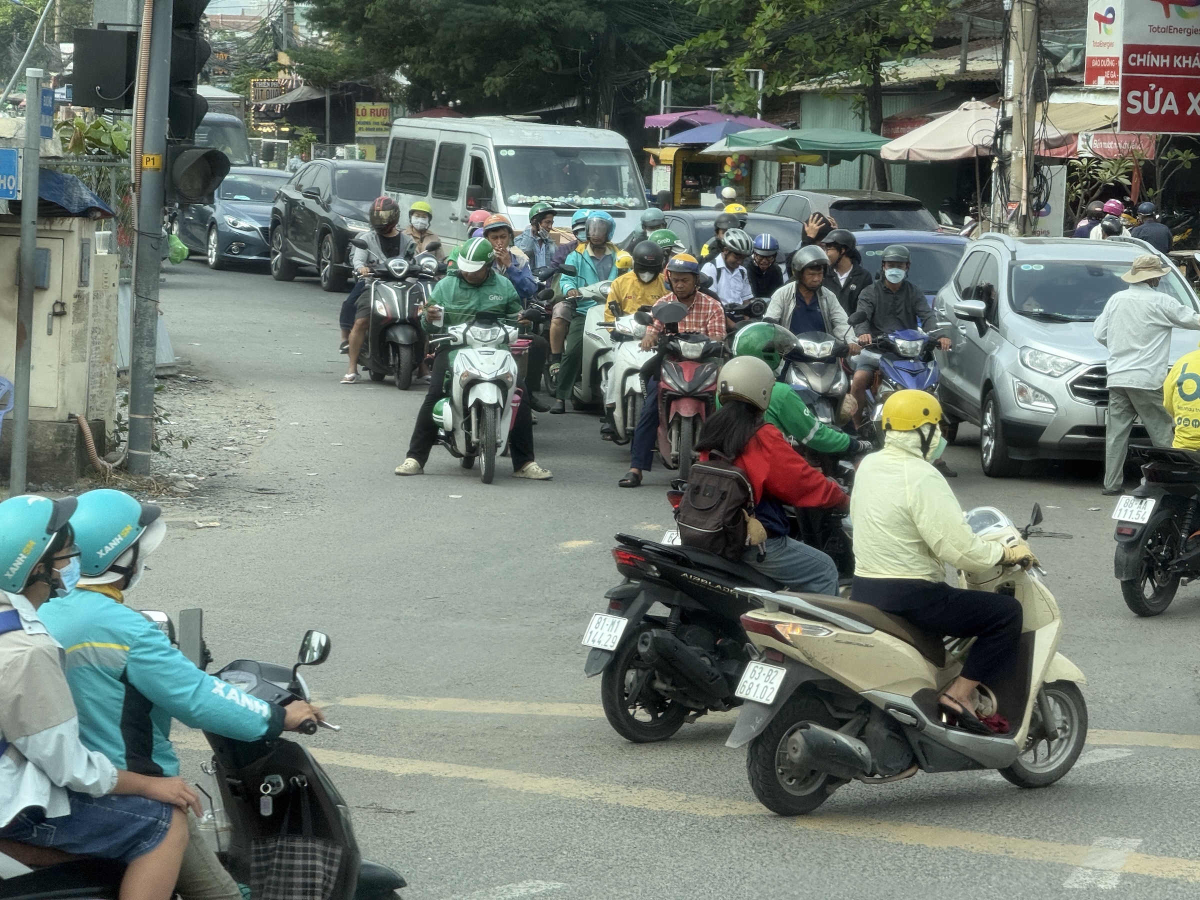
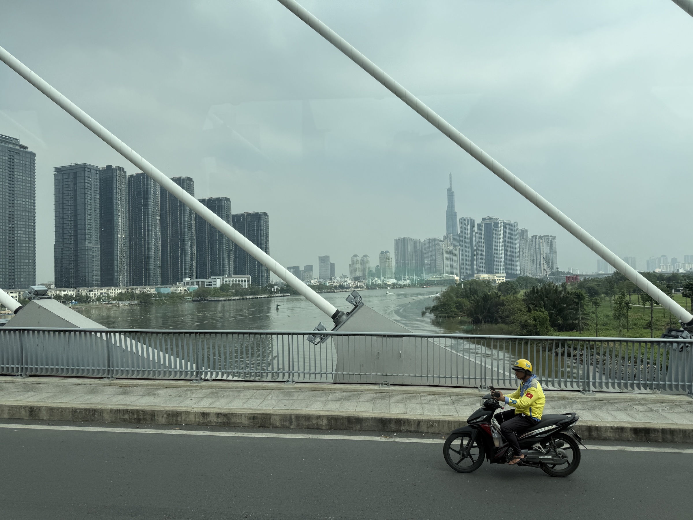
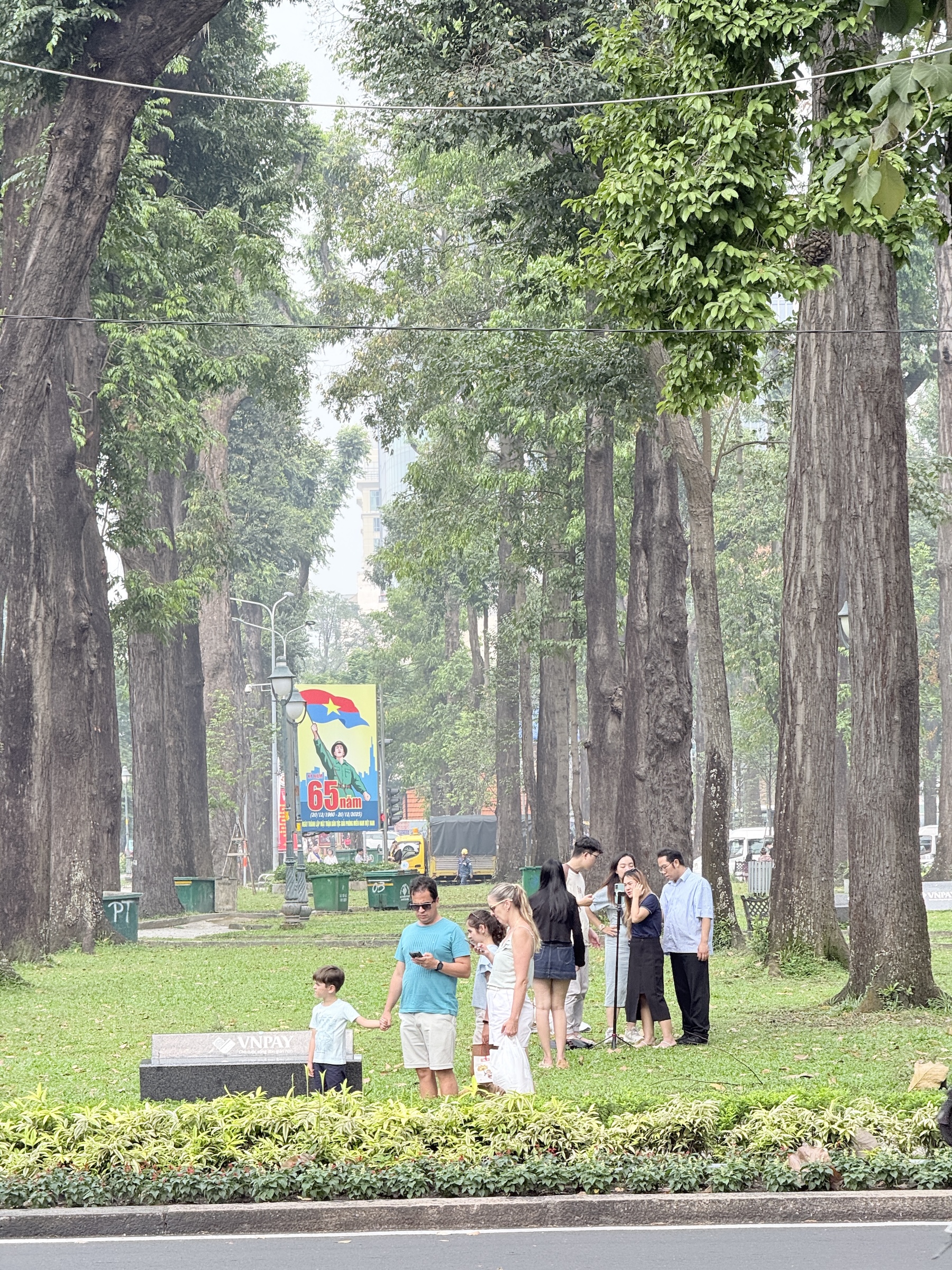
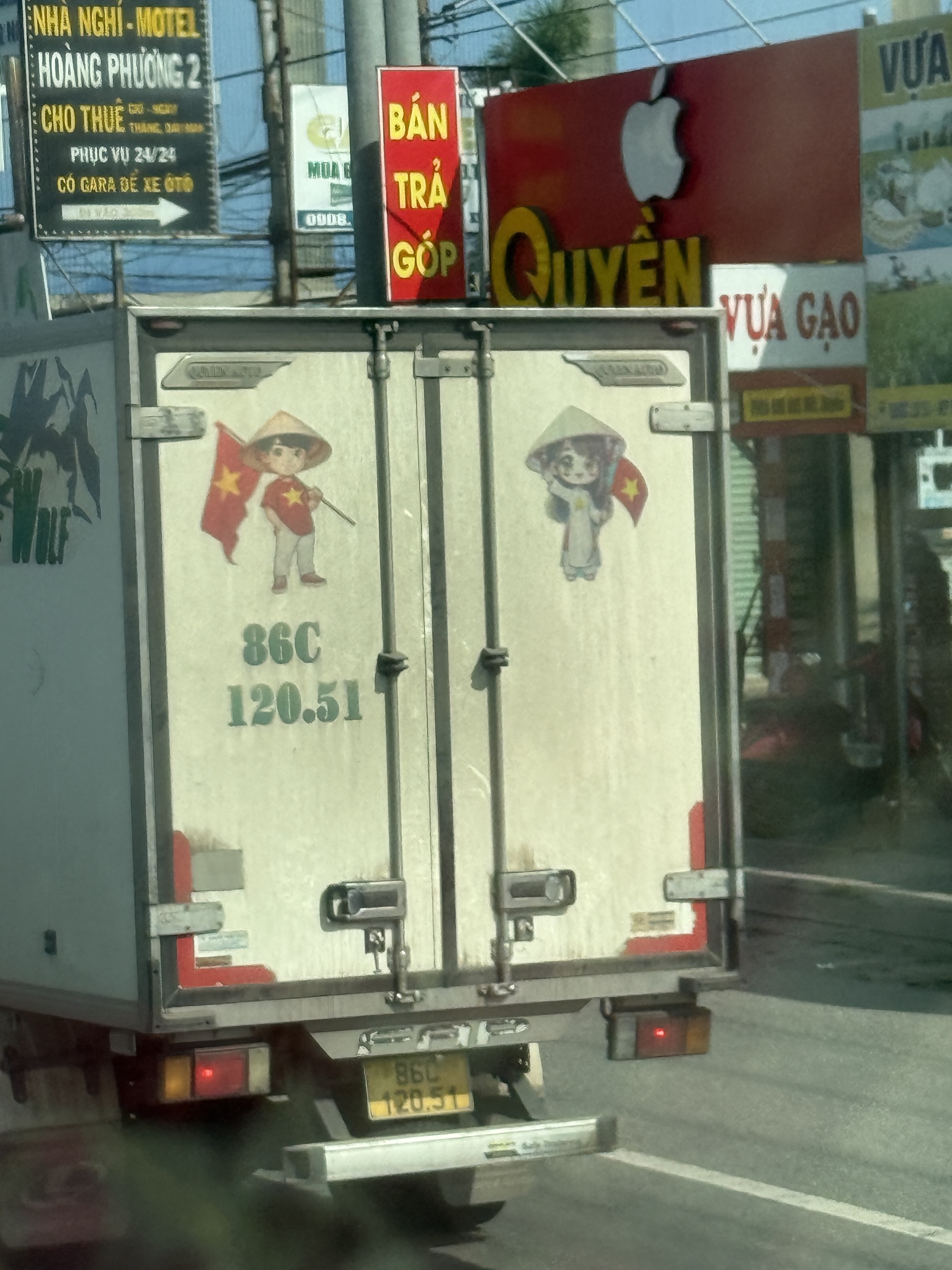
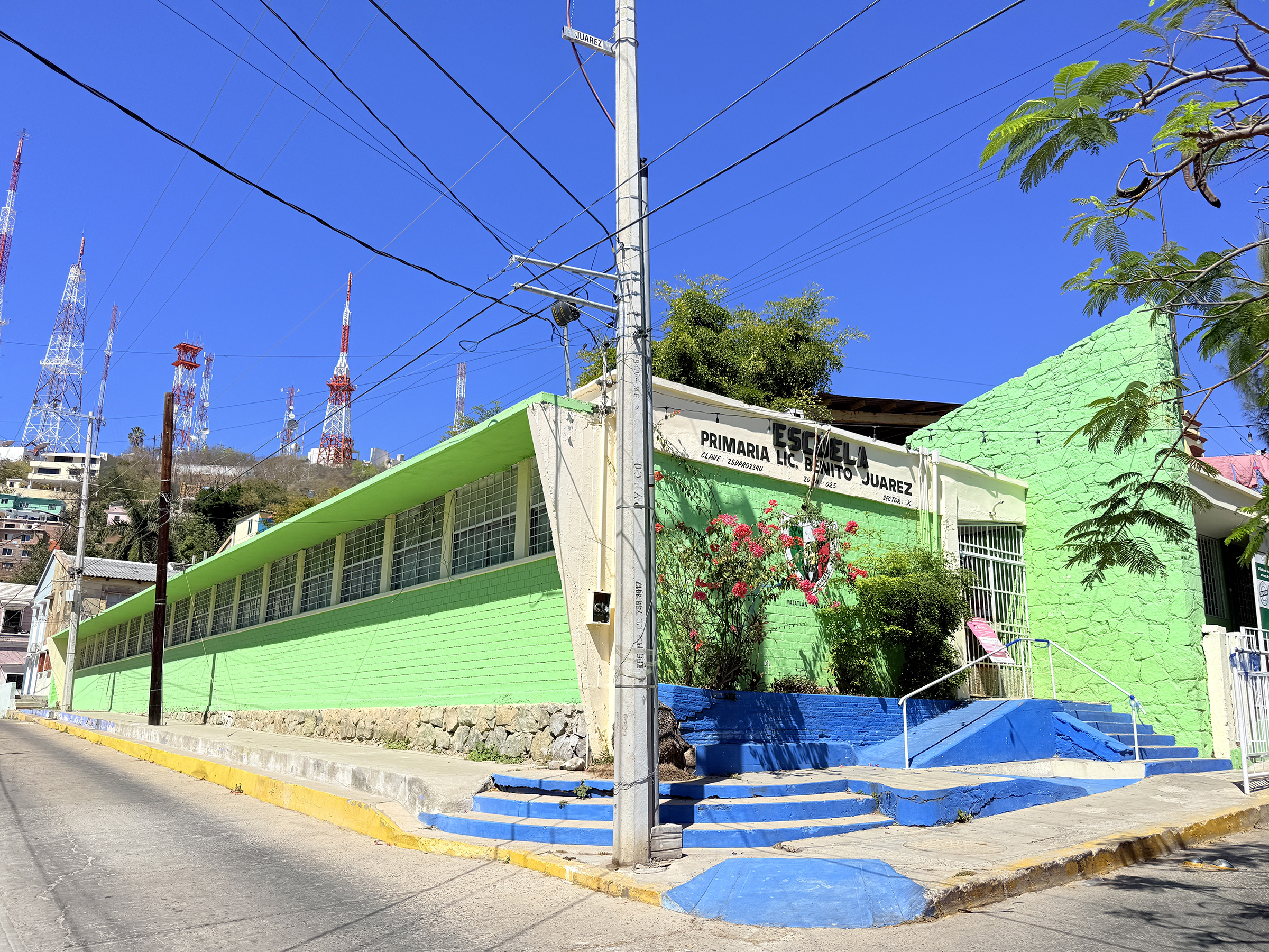
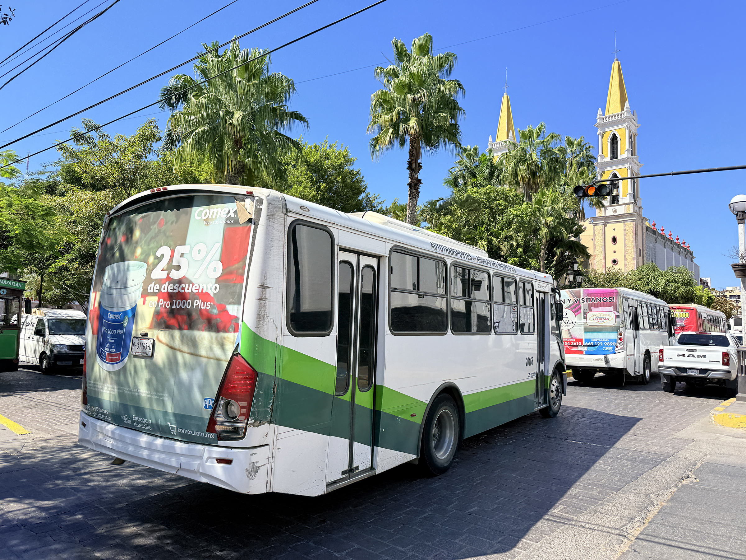
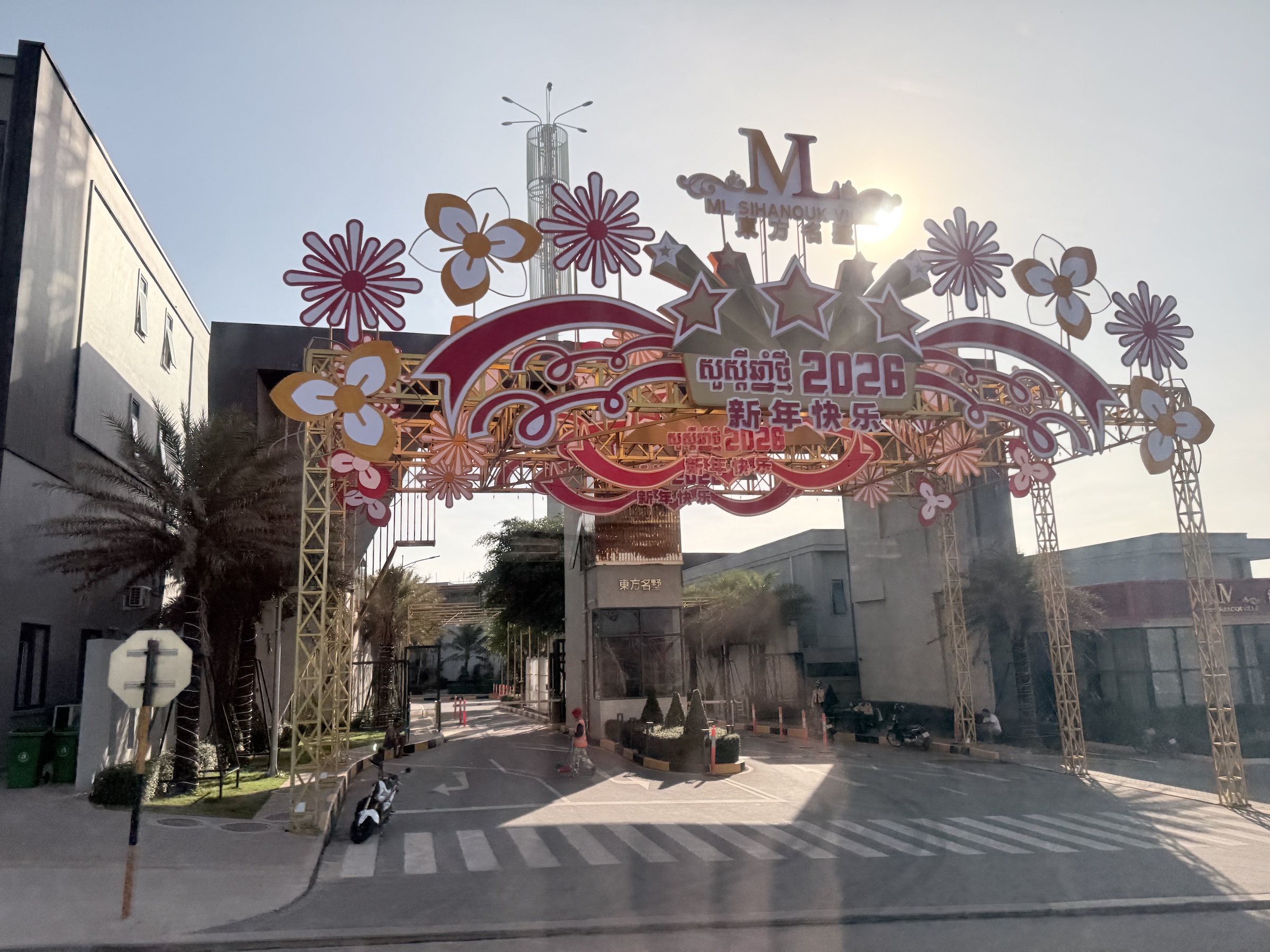
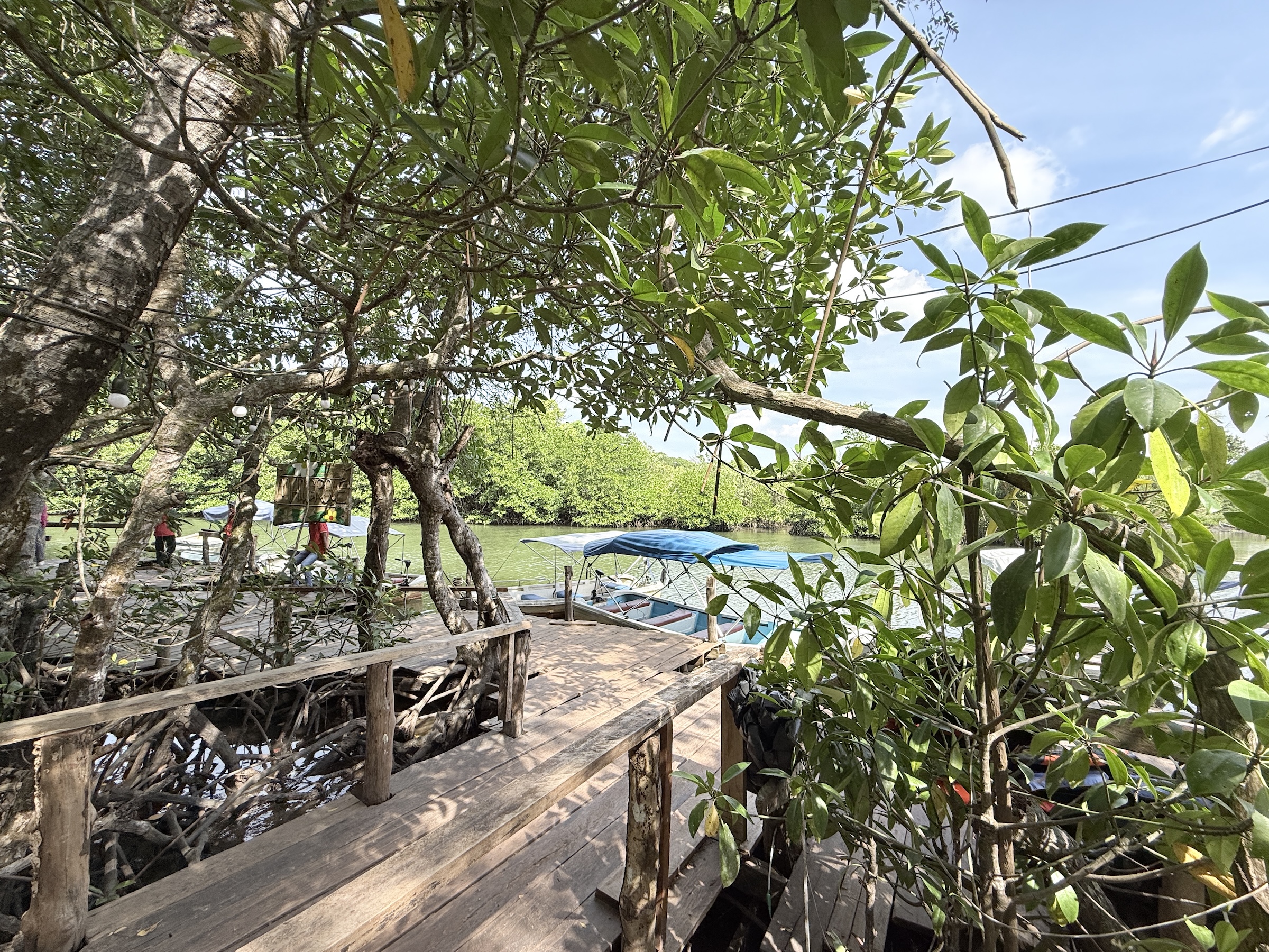
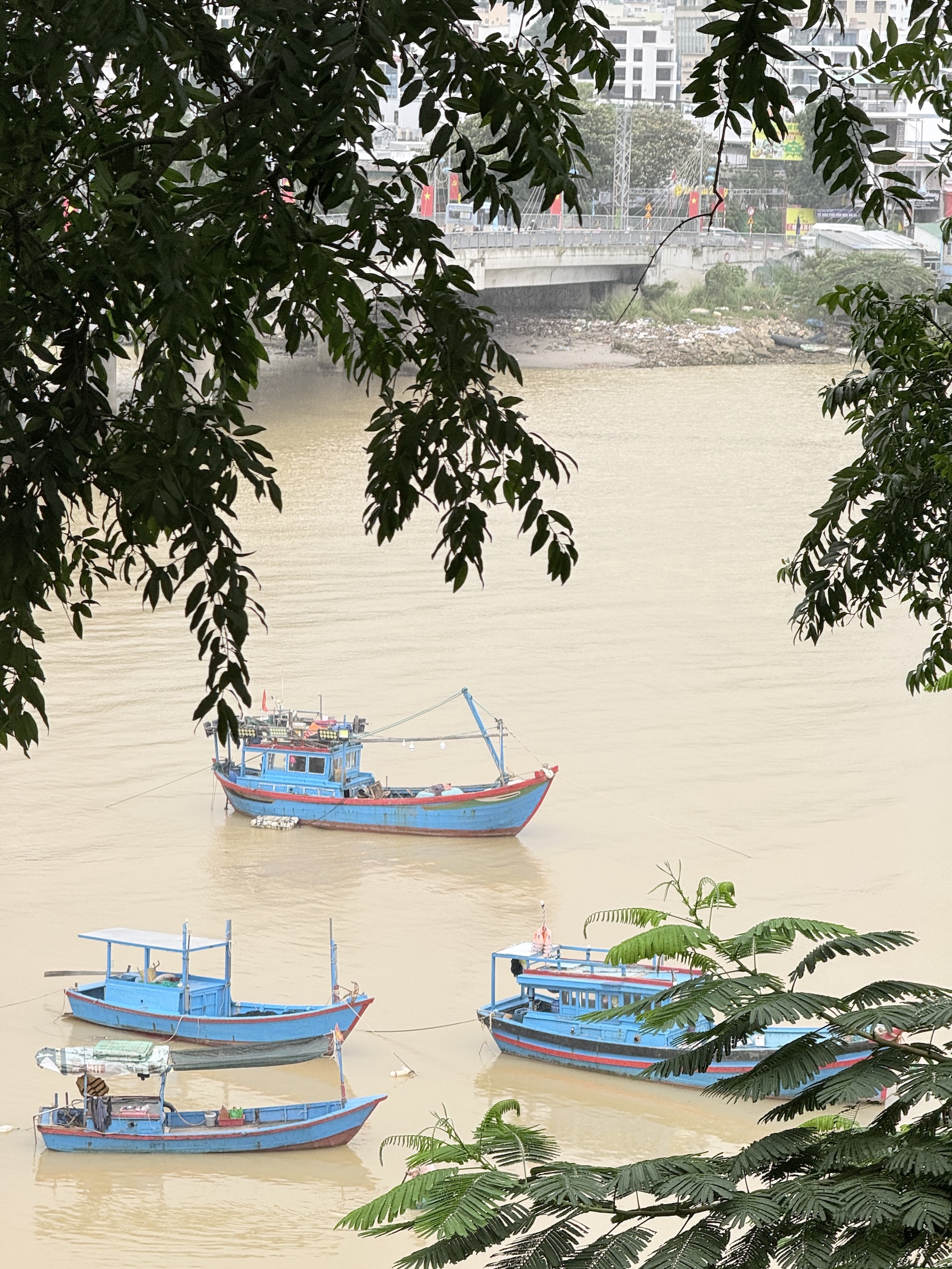
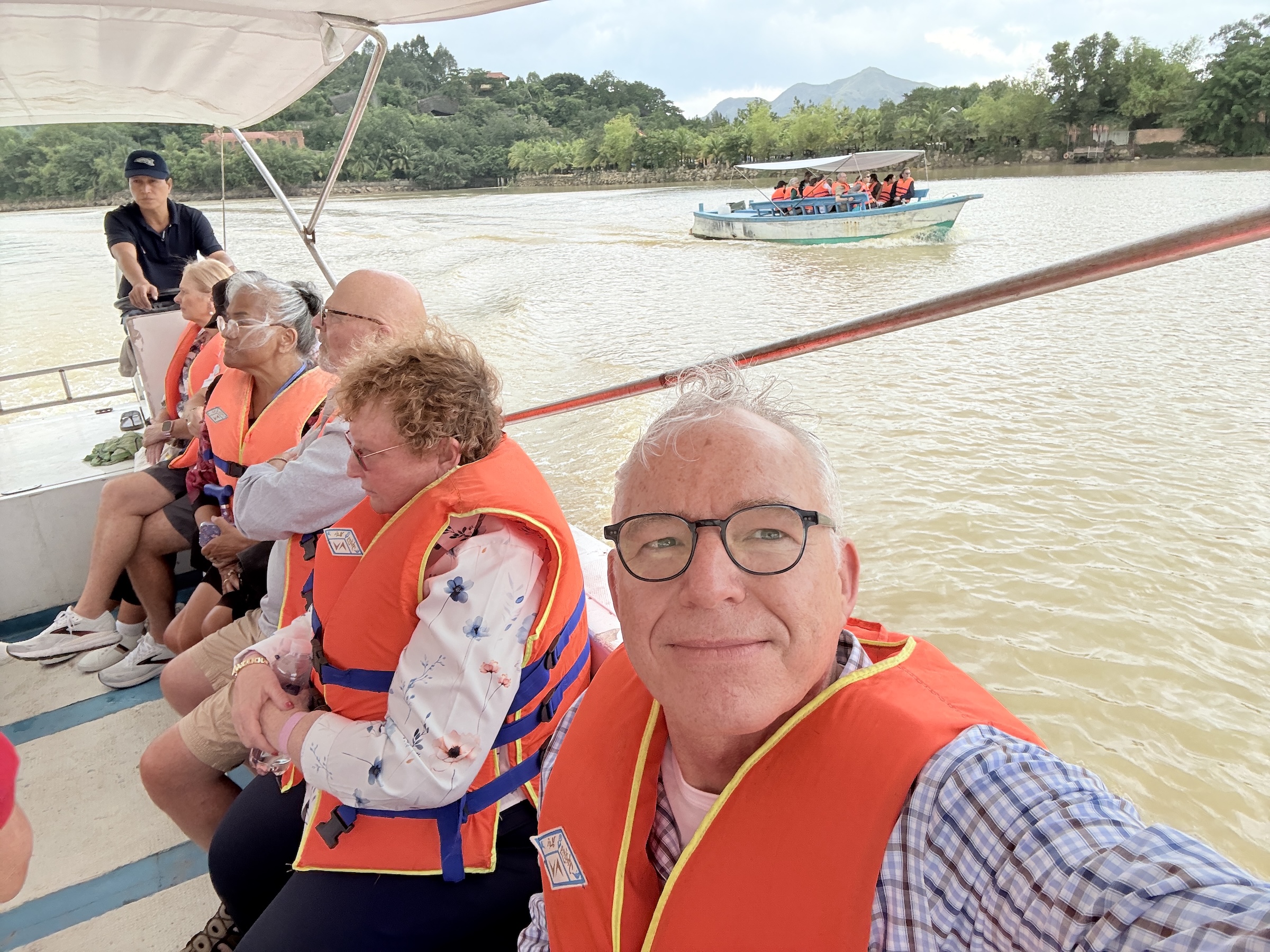
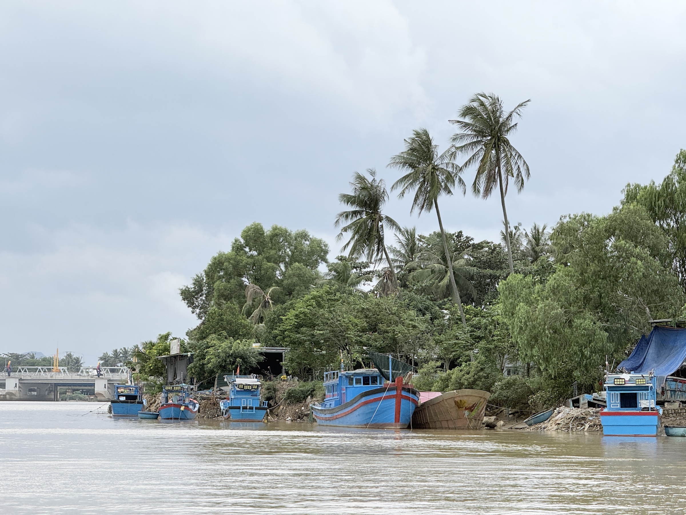
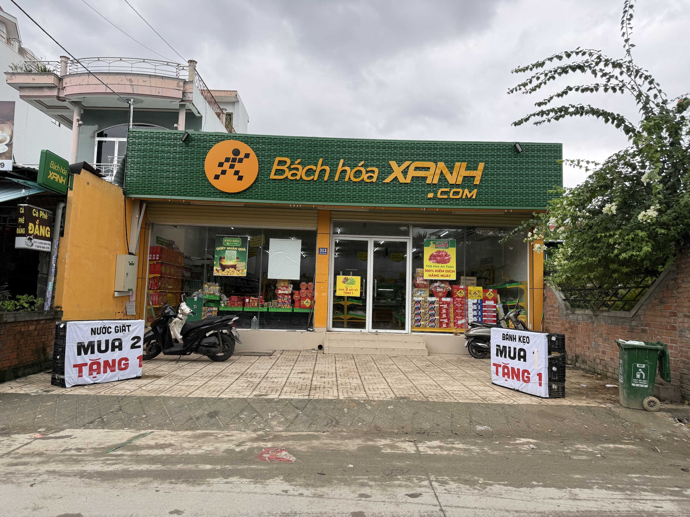
It’s almost a 2-hour drive from Phú Mỹ to the sprawling city of Ho Chi Minh. Our tour bus ran alongside and across the rivers of the Mekong Delta*, and the route included a segment of National Route 1 with toll plazas. It is the beginning of the rice planting season. Rice is a staple food in Viet Nam.
*Home to the endangered Mekong giant catfish (Pangasianodon gigas), known for reaching nearly 10 feet and over 600 pounds.
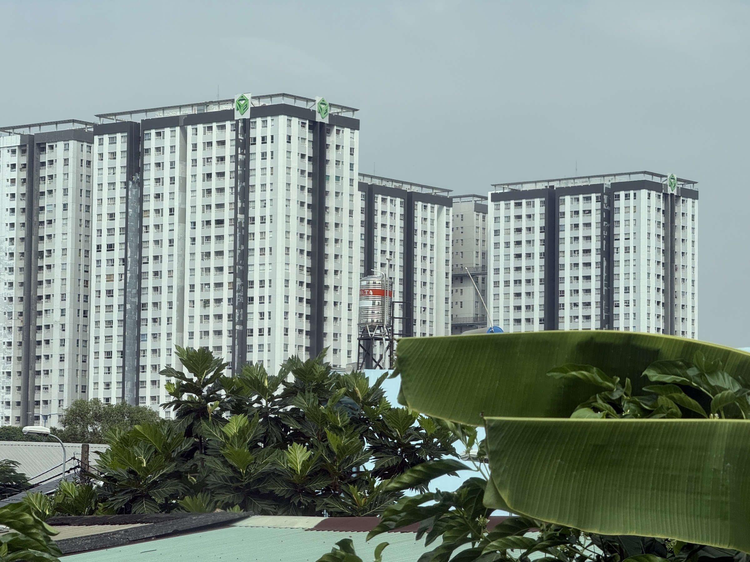
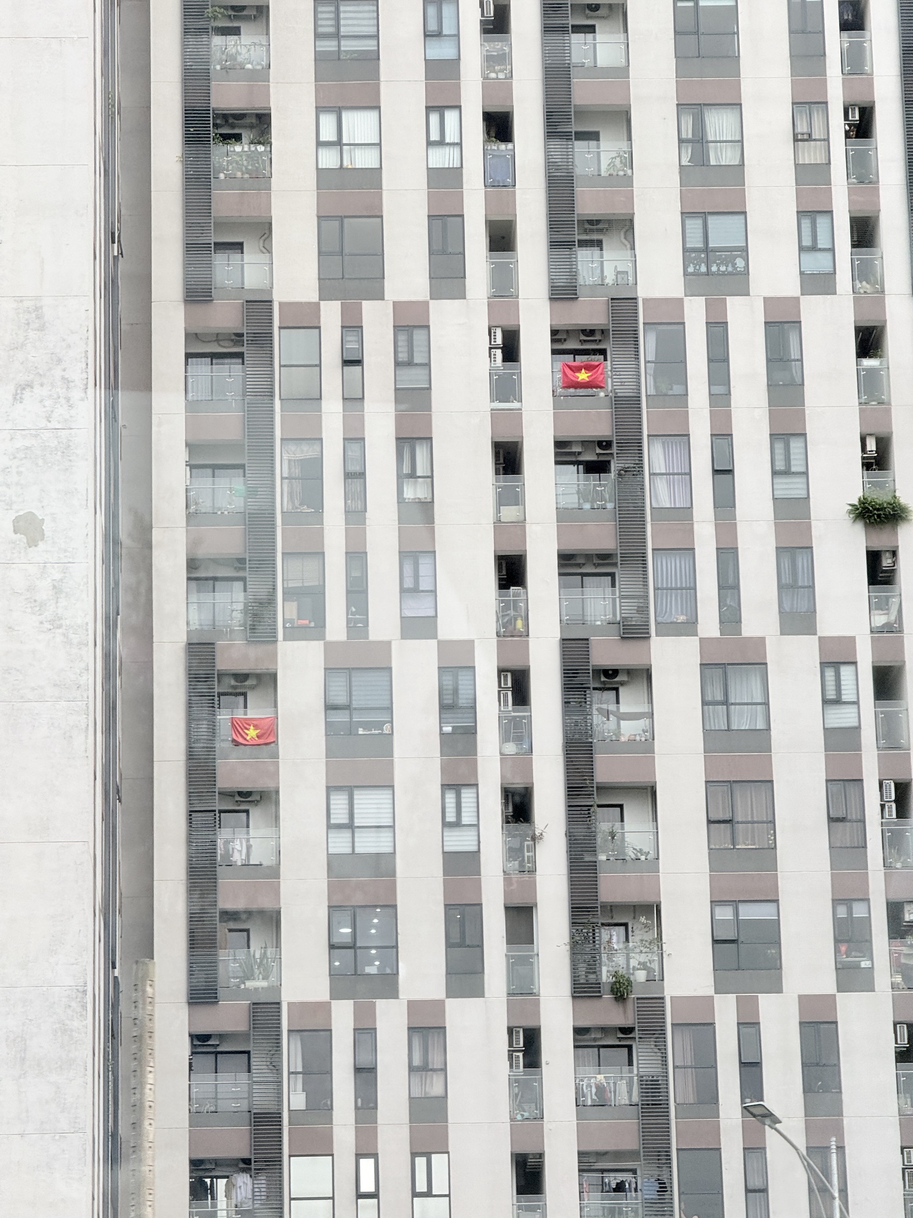
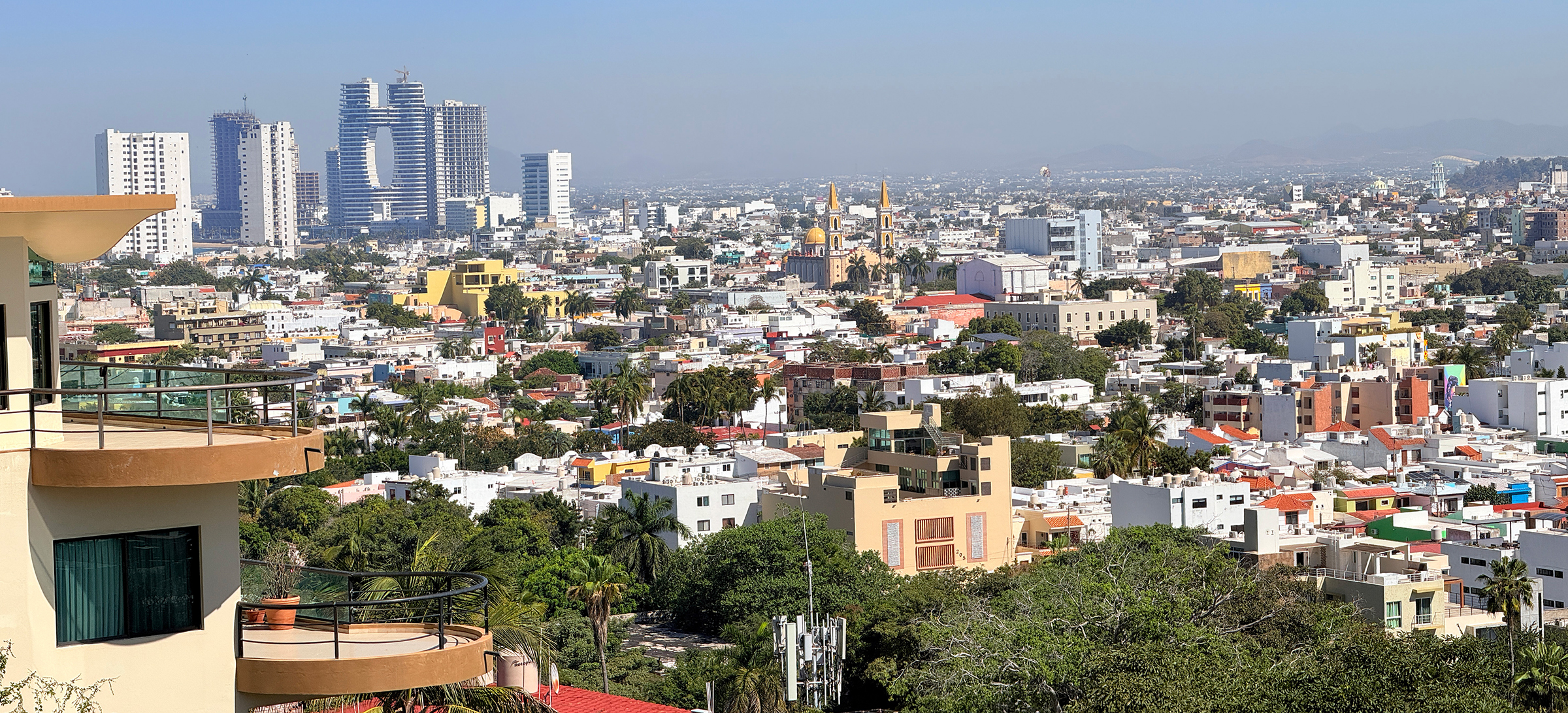
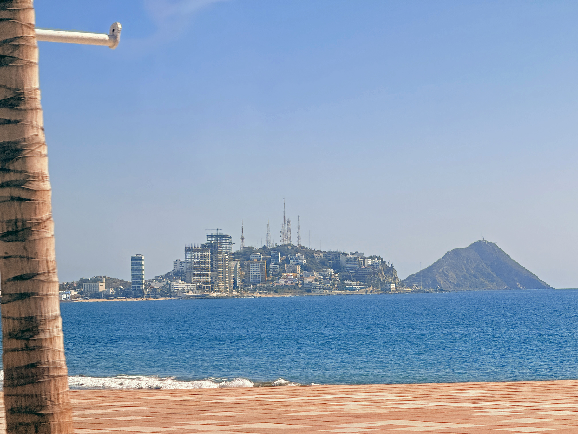
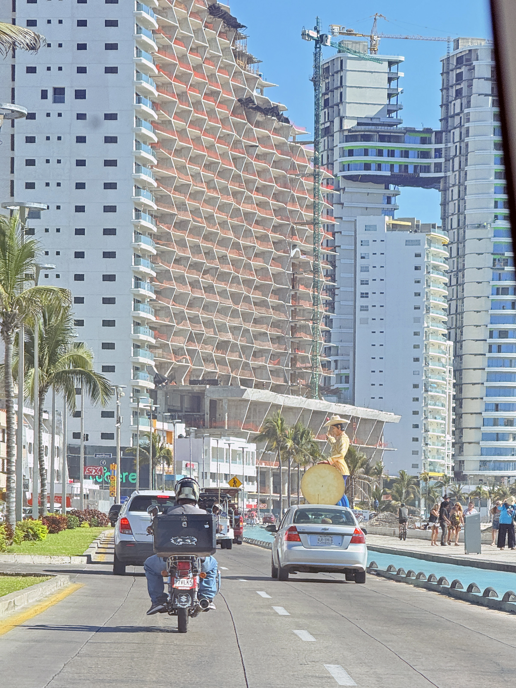
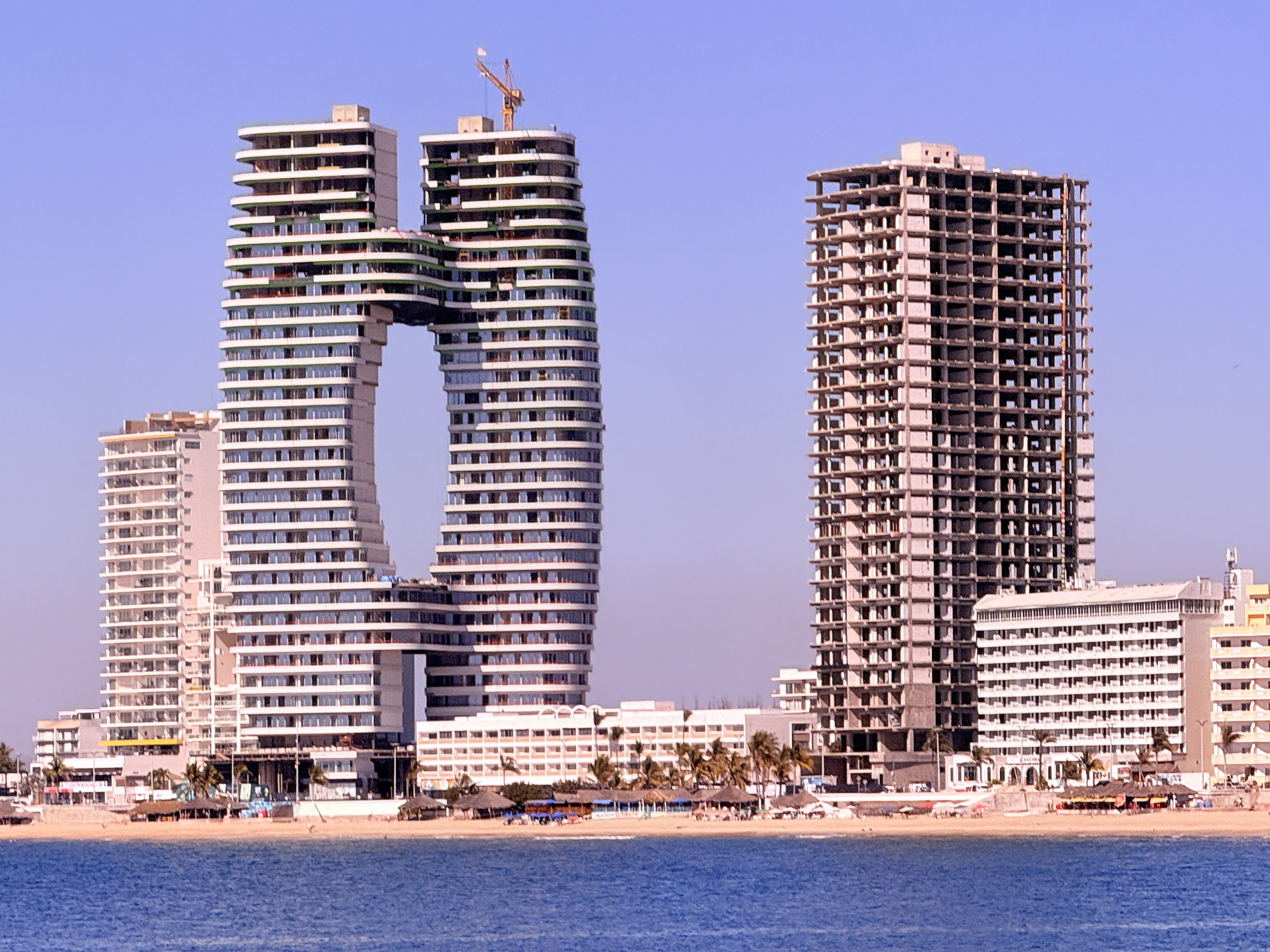
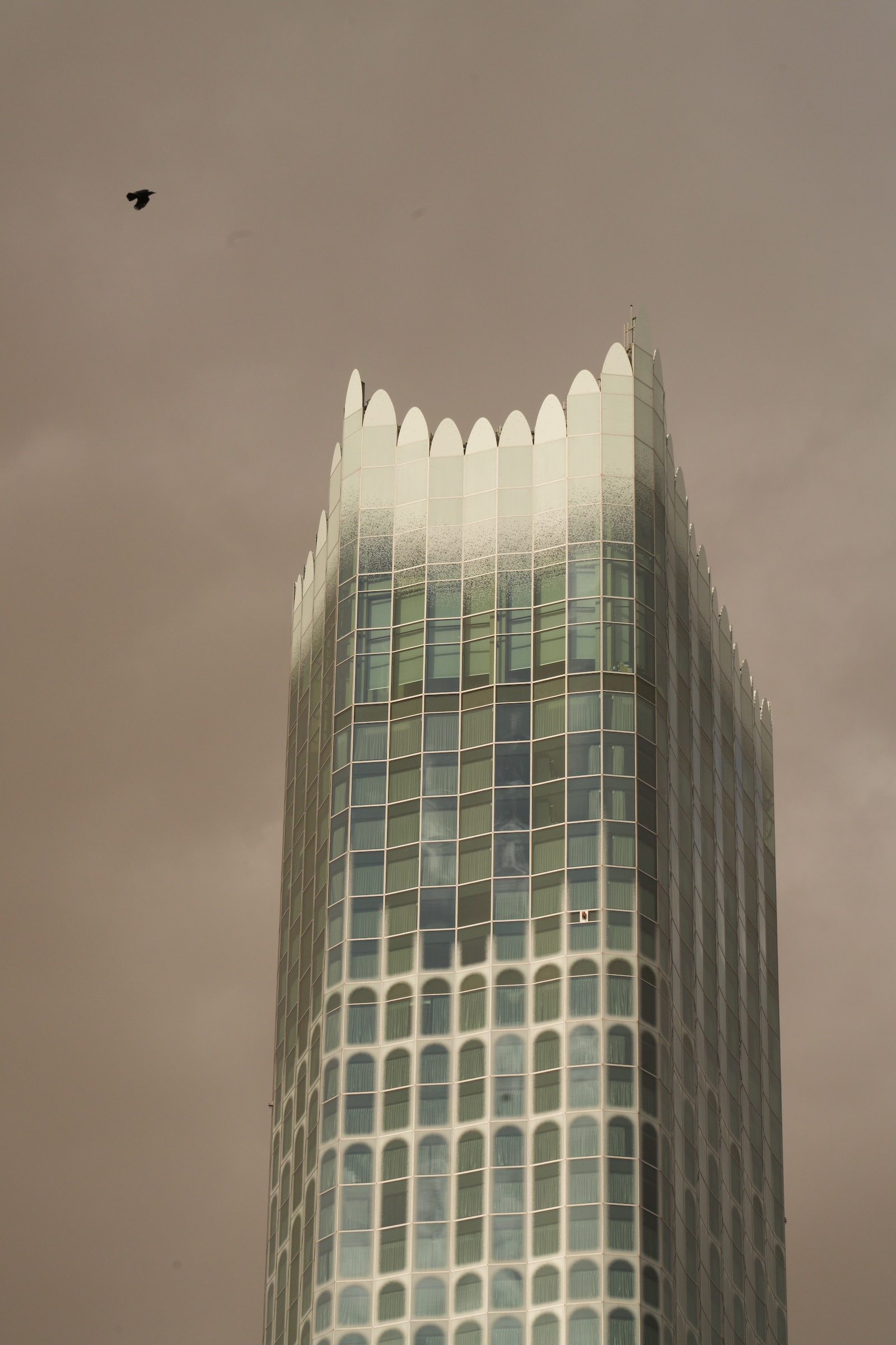
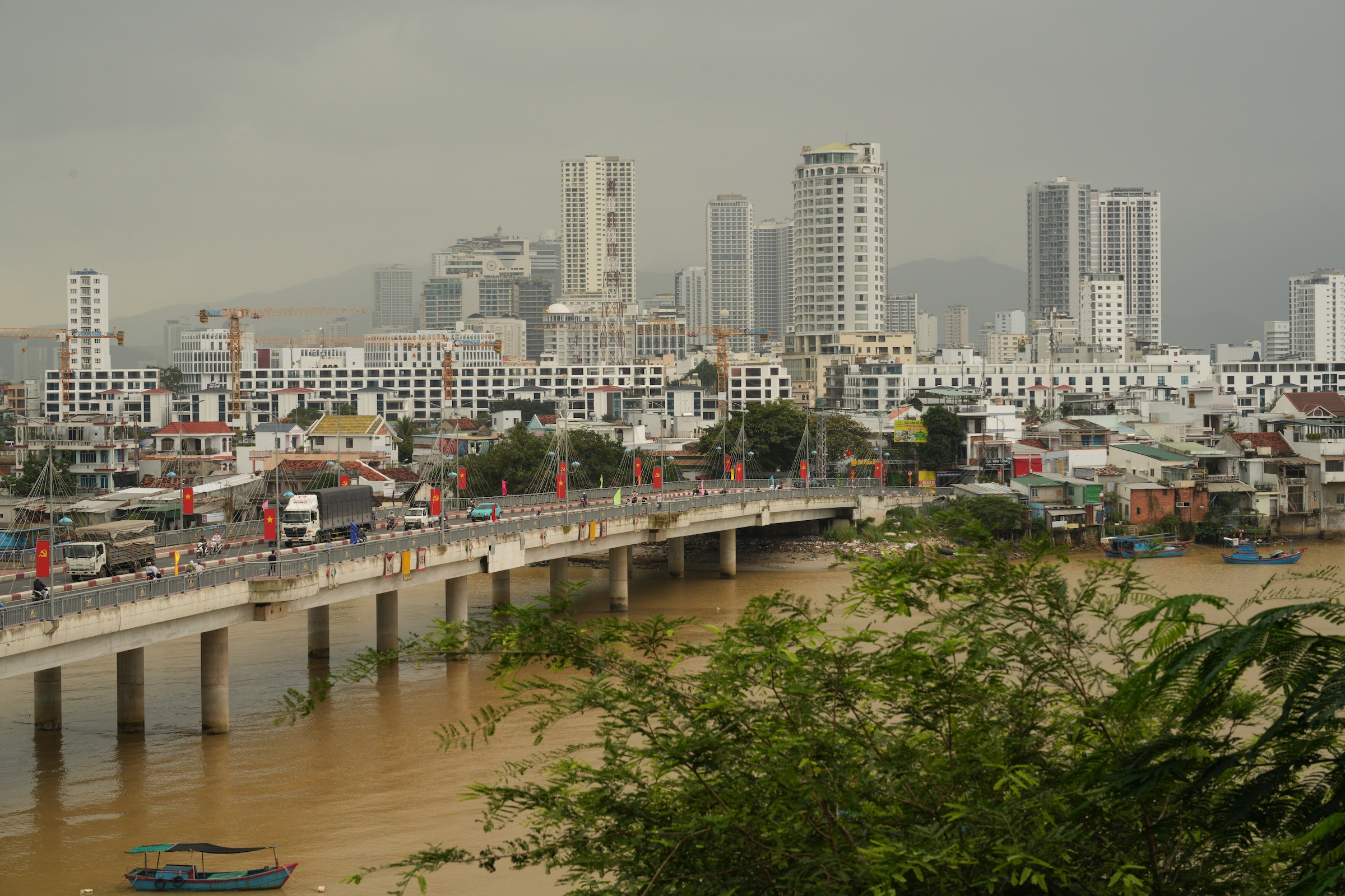
As we approached the city, we saw tall apartment buildings (what we would call condominiums in the States). These go for a fortune in Vietnamese Dong— 5 billion, about US$200,000— and are strictly for rich people. The supertall skyscraper in the pictures is that of the 81-story Landmark 81 tower (completed 2018).
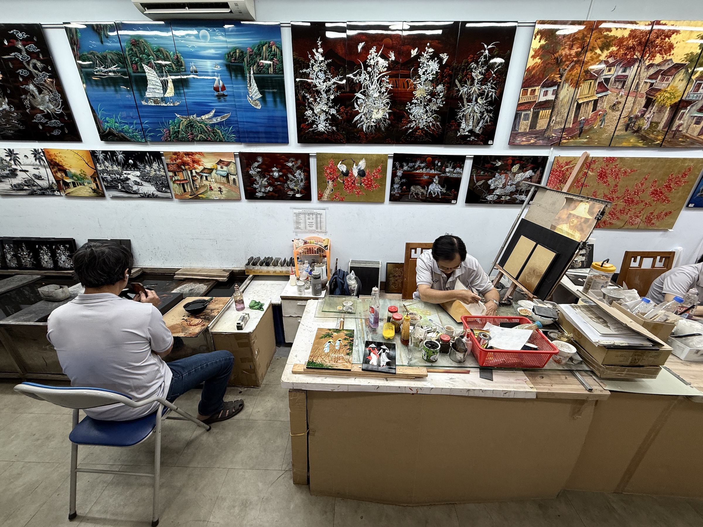
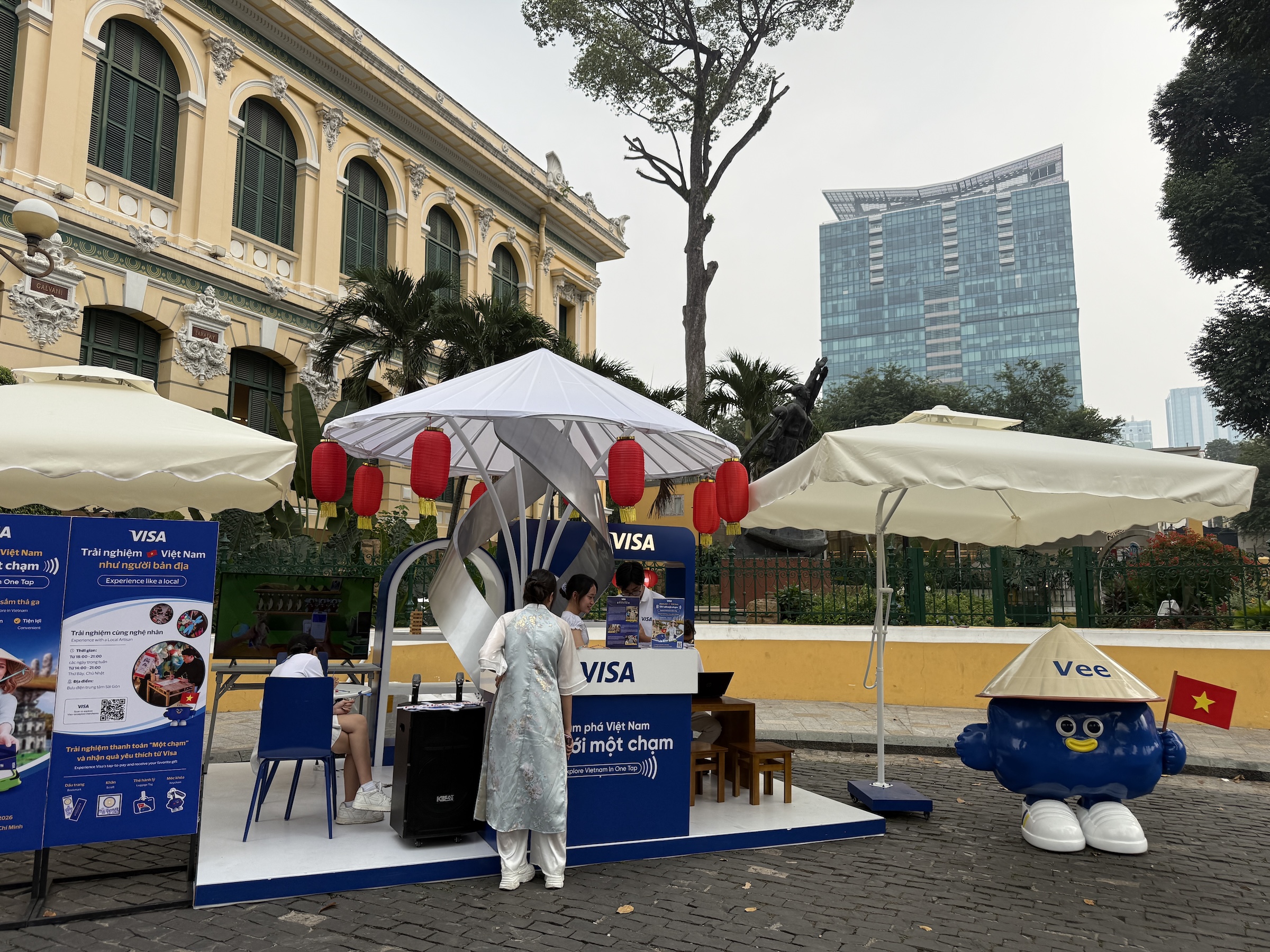
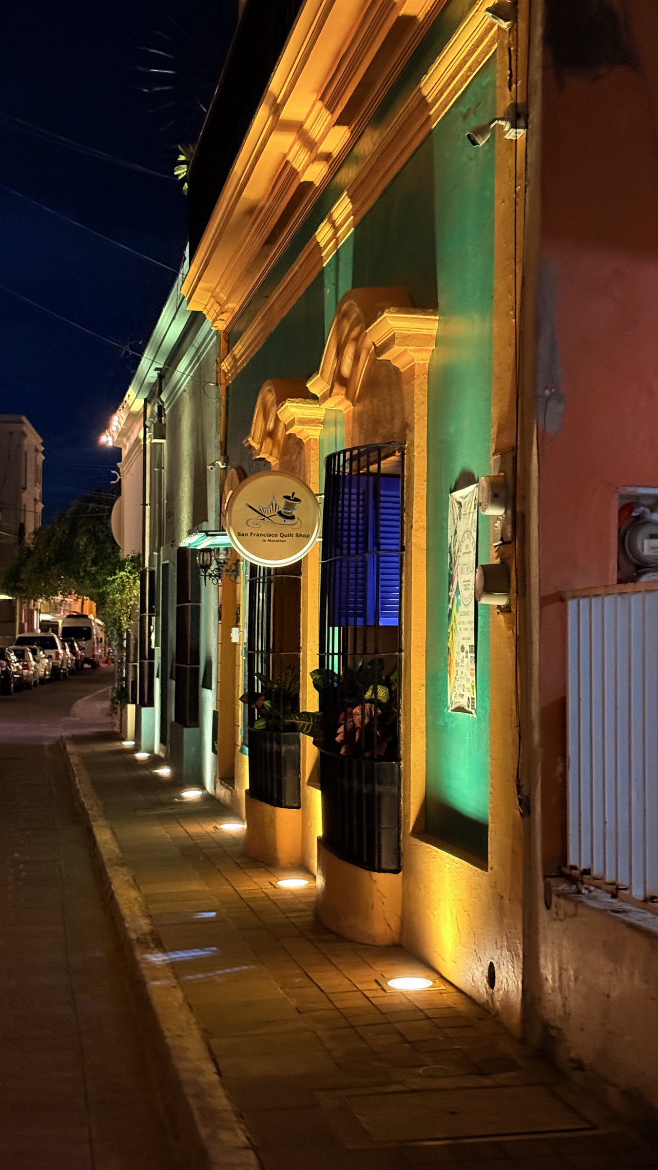
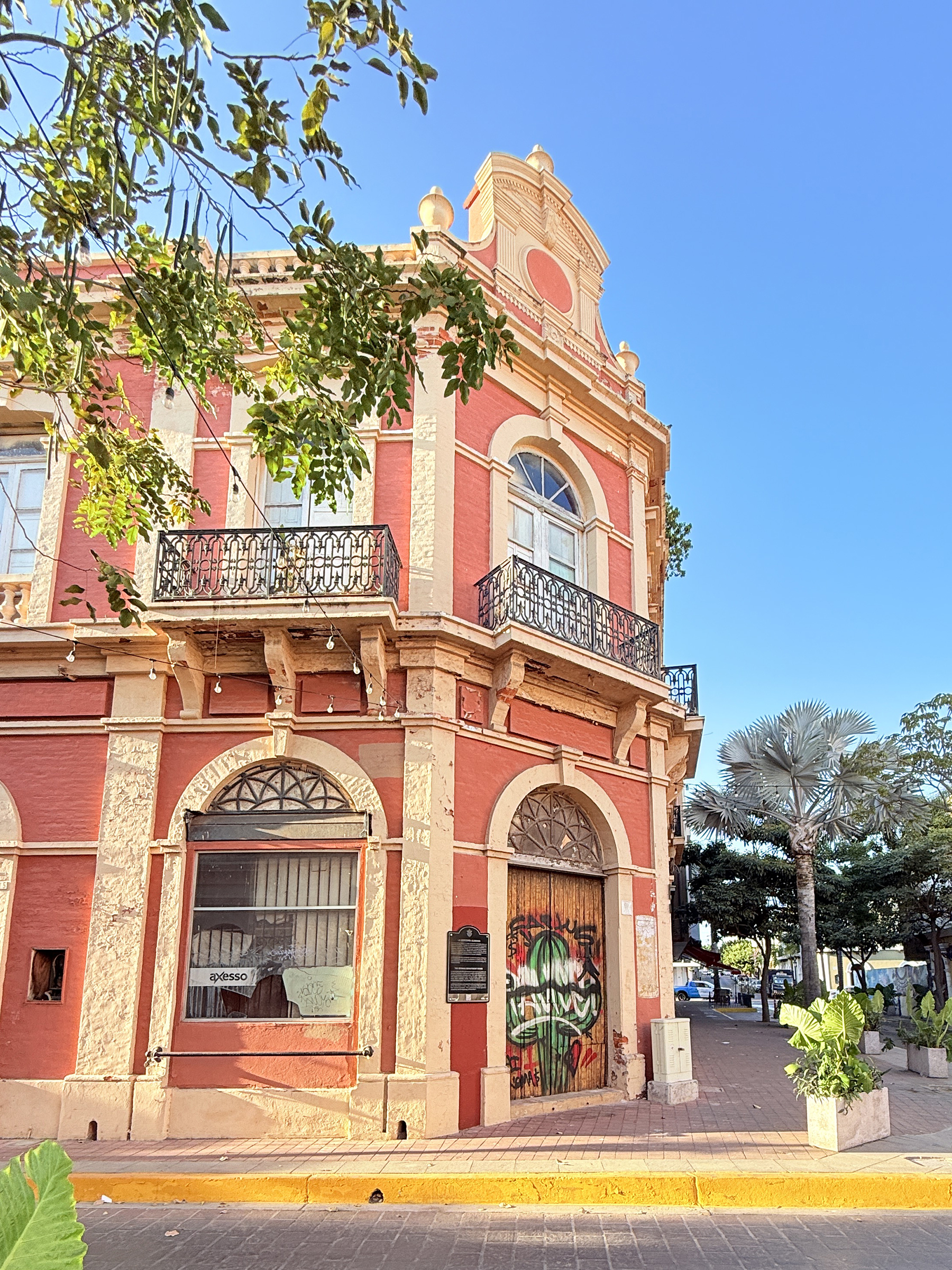
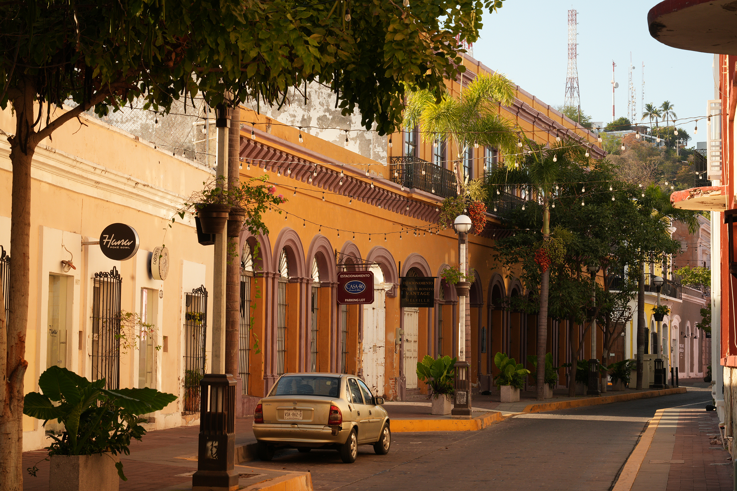
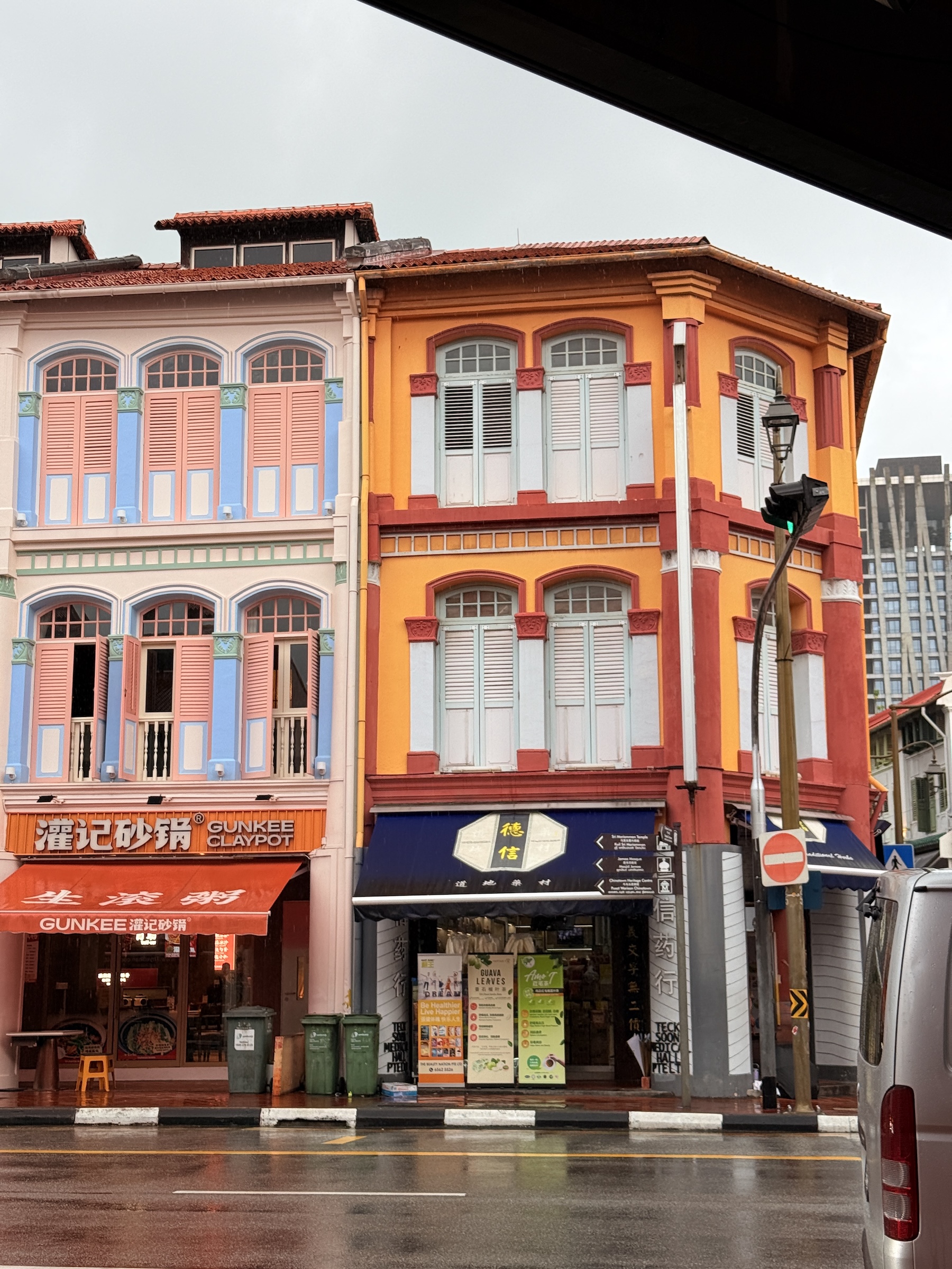
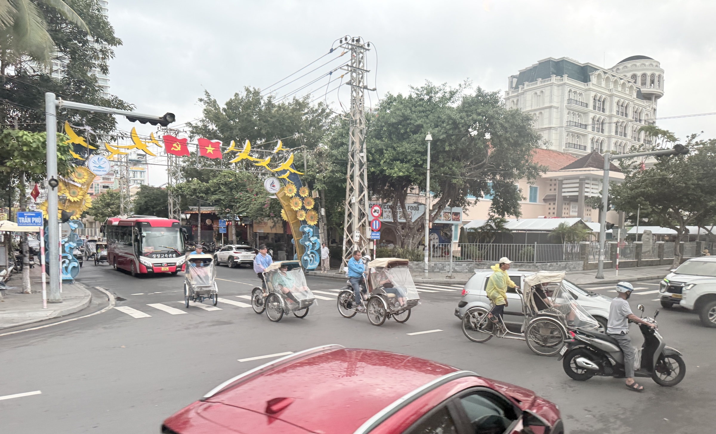
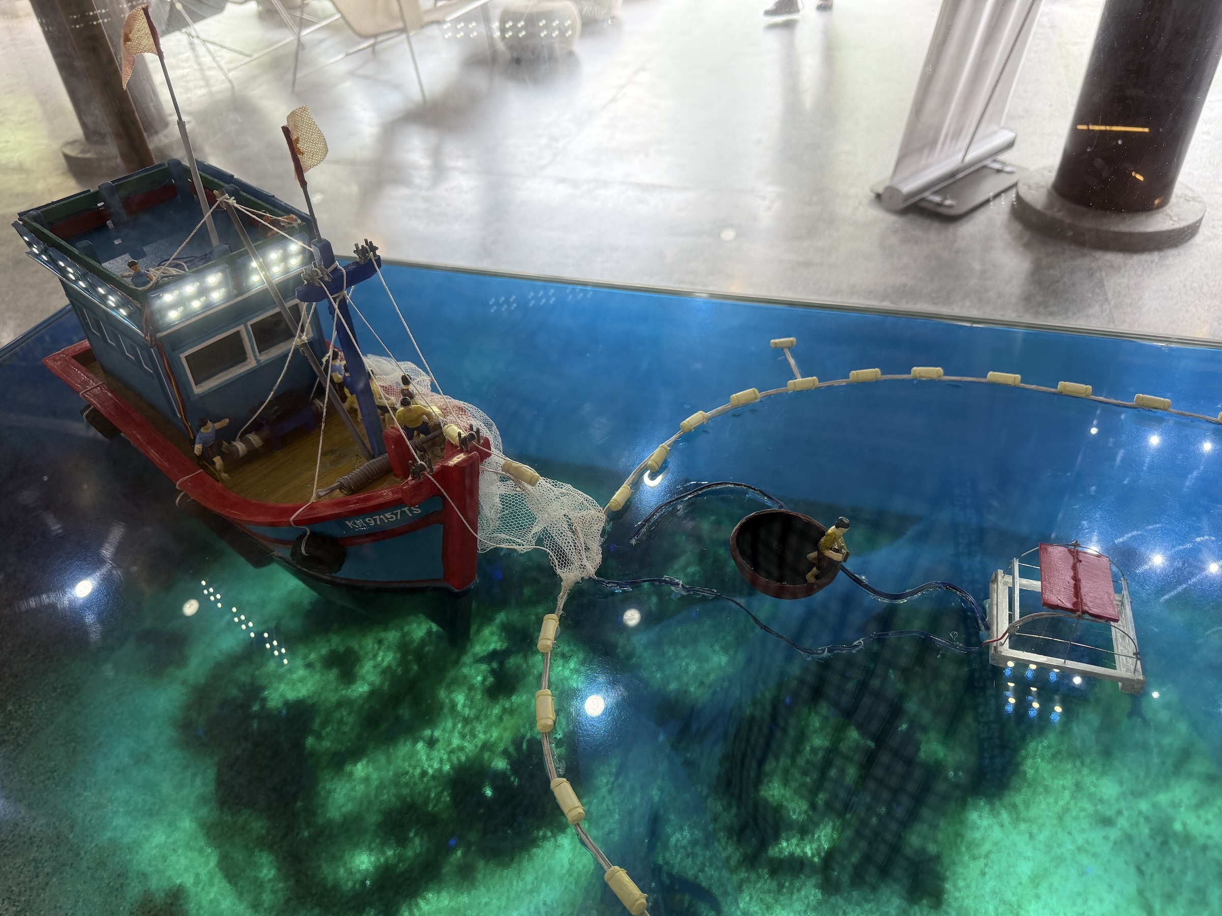
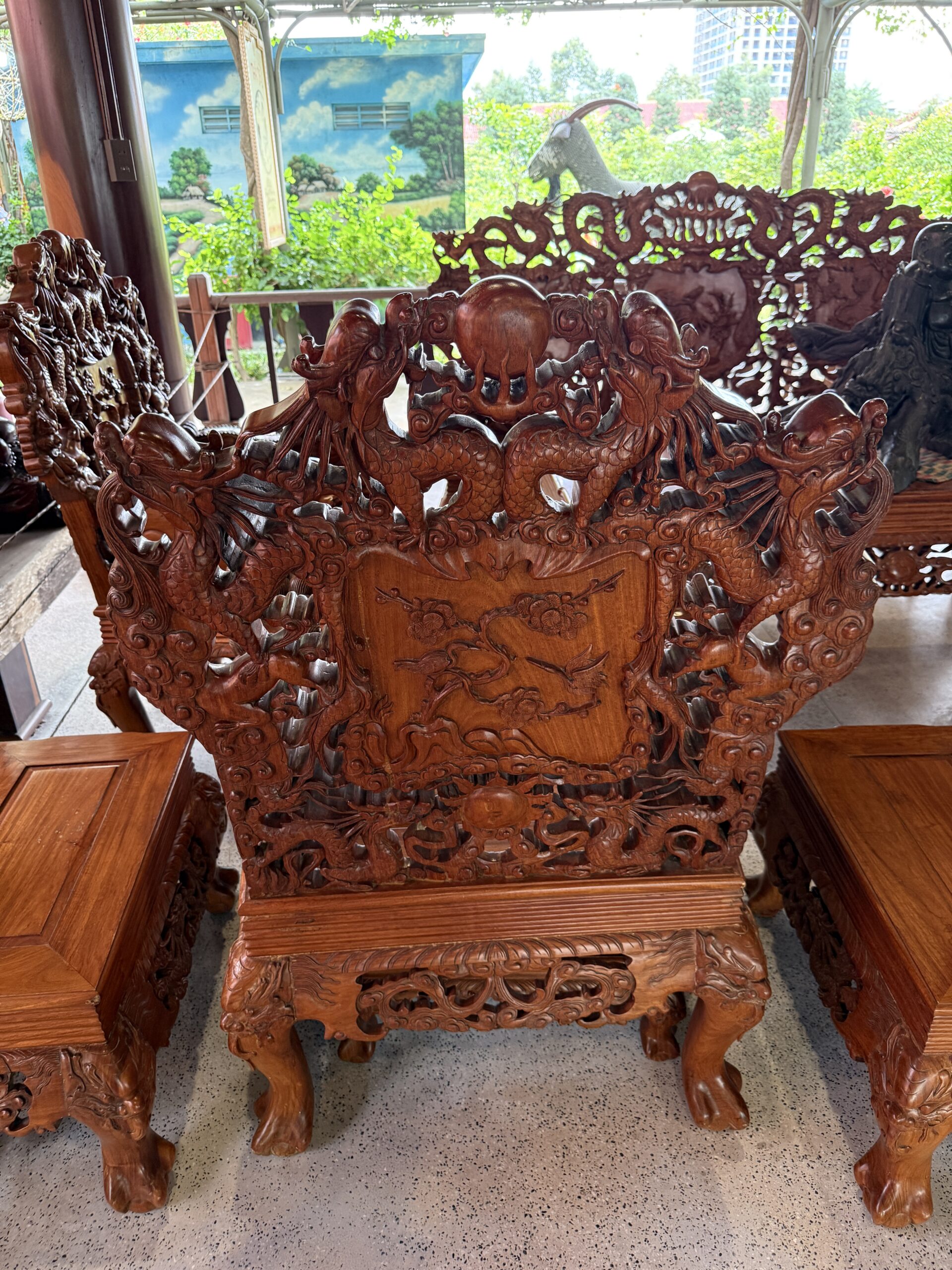
Our first stop in Saigon* was at an art studio and gallery with Vietnamese lacquer art, or Sơn Mài. *The central part of Ho Chi Minh City still goes by the name of Saigon.
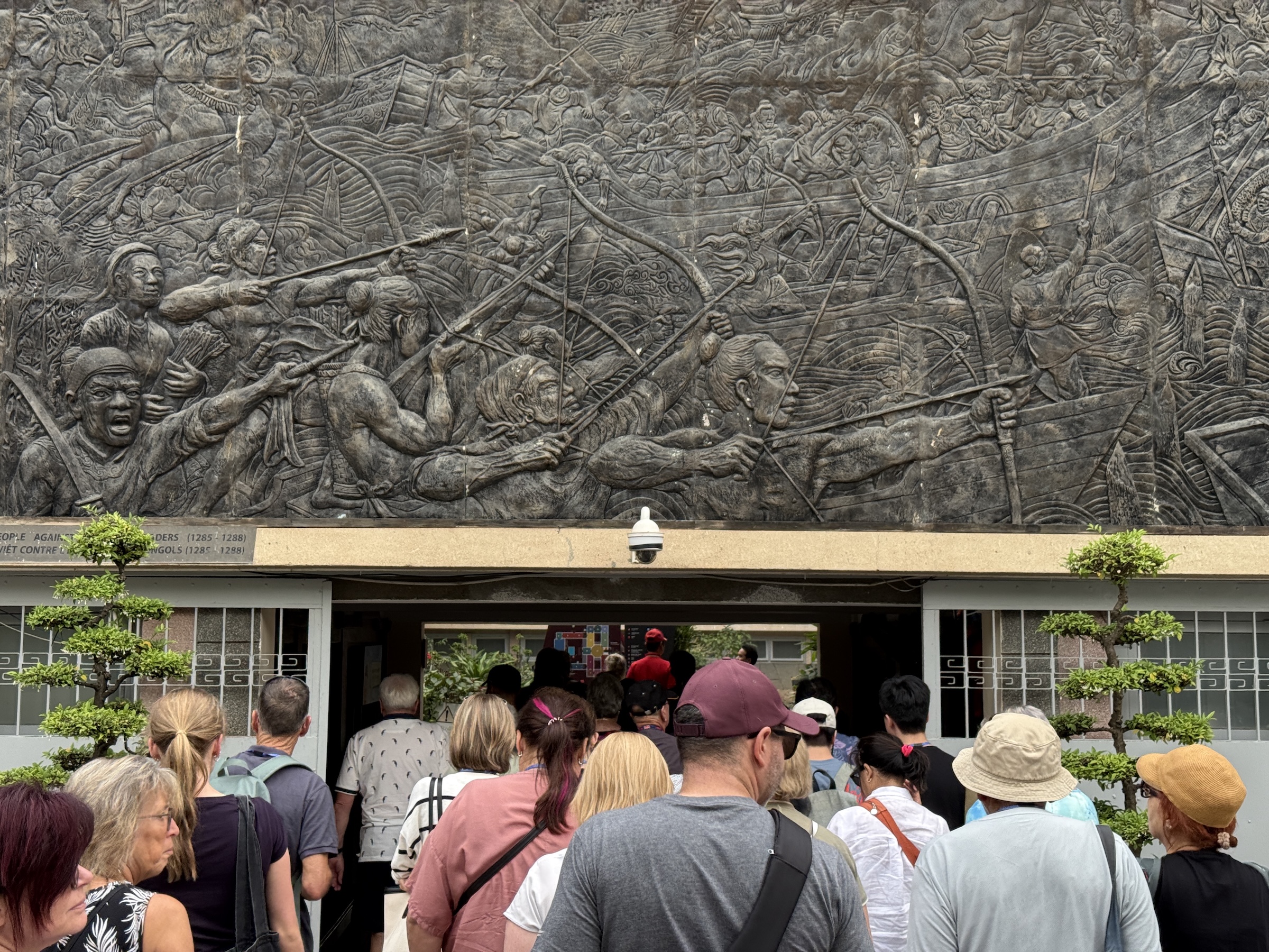
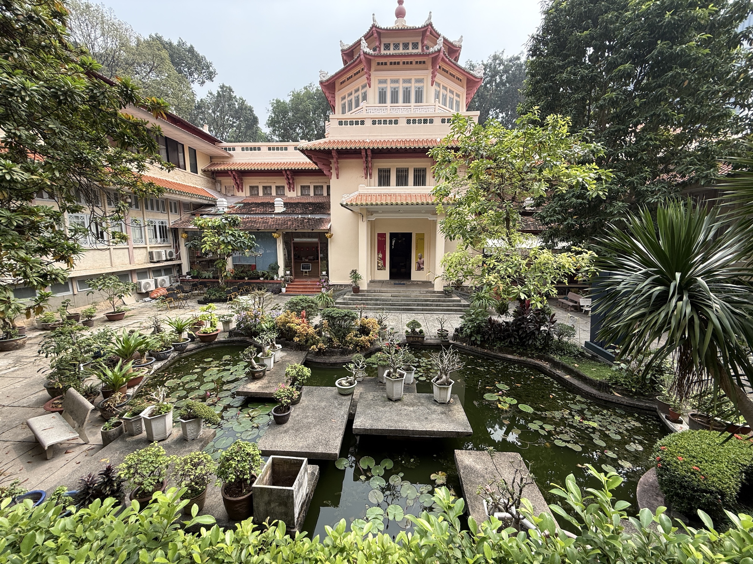
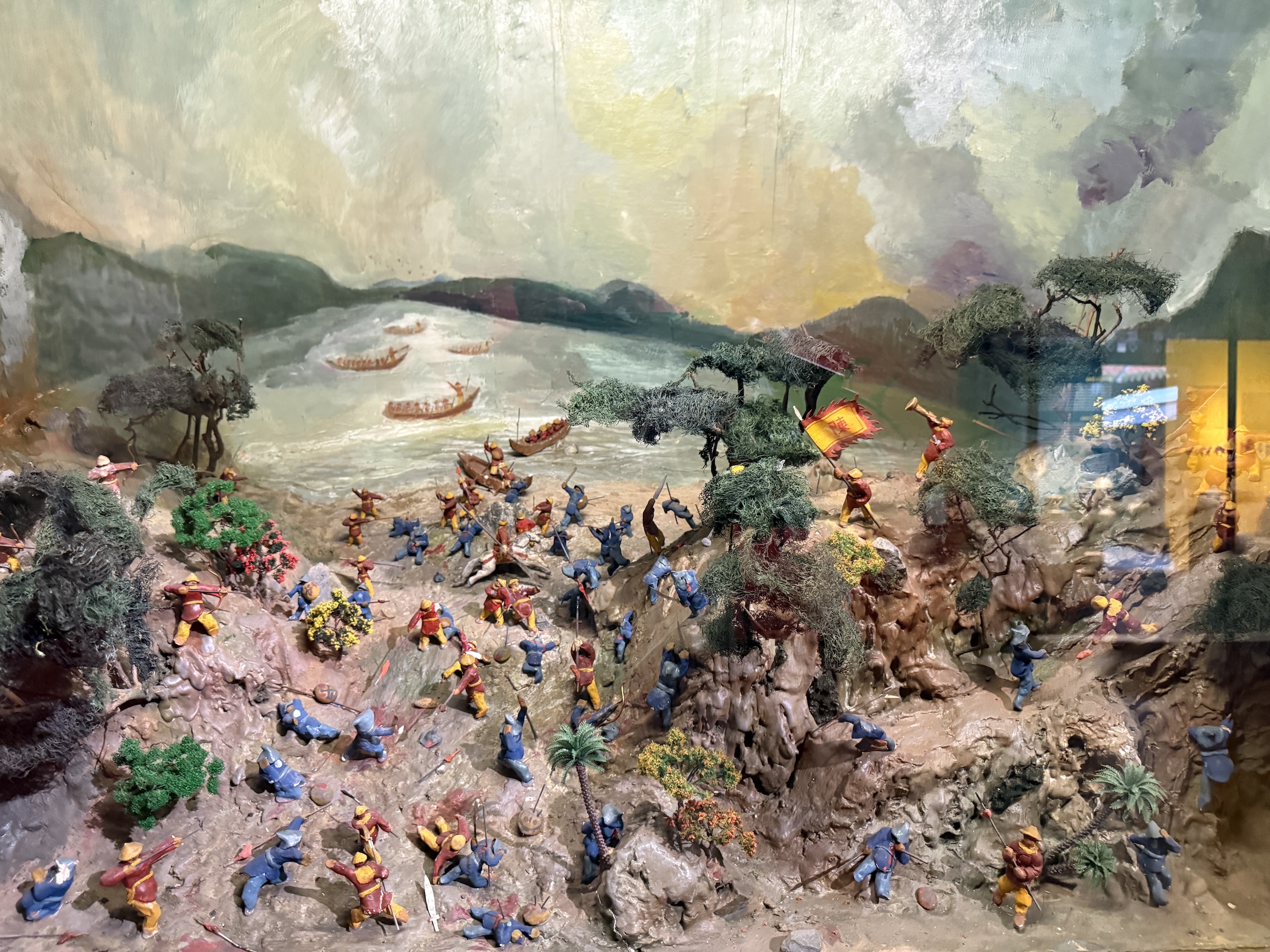
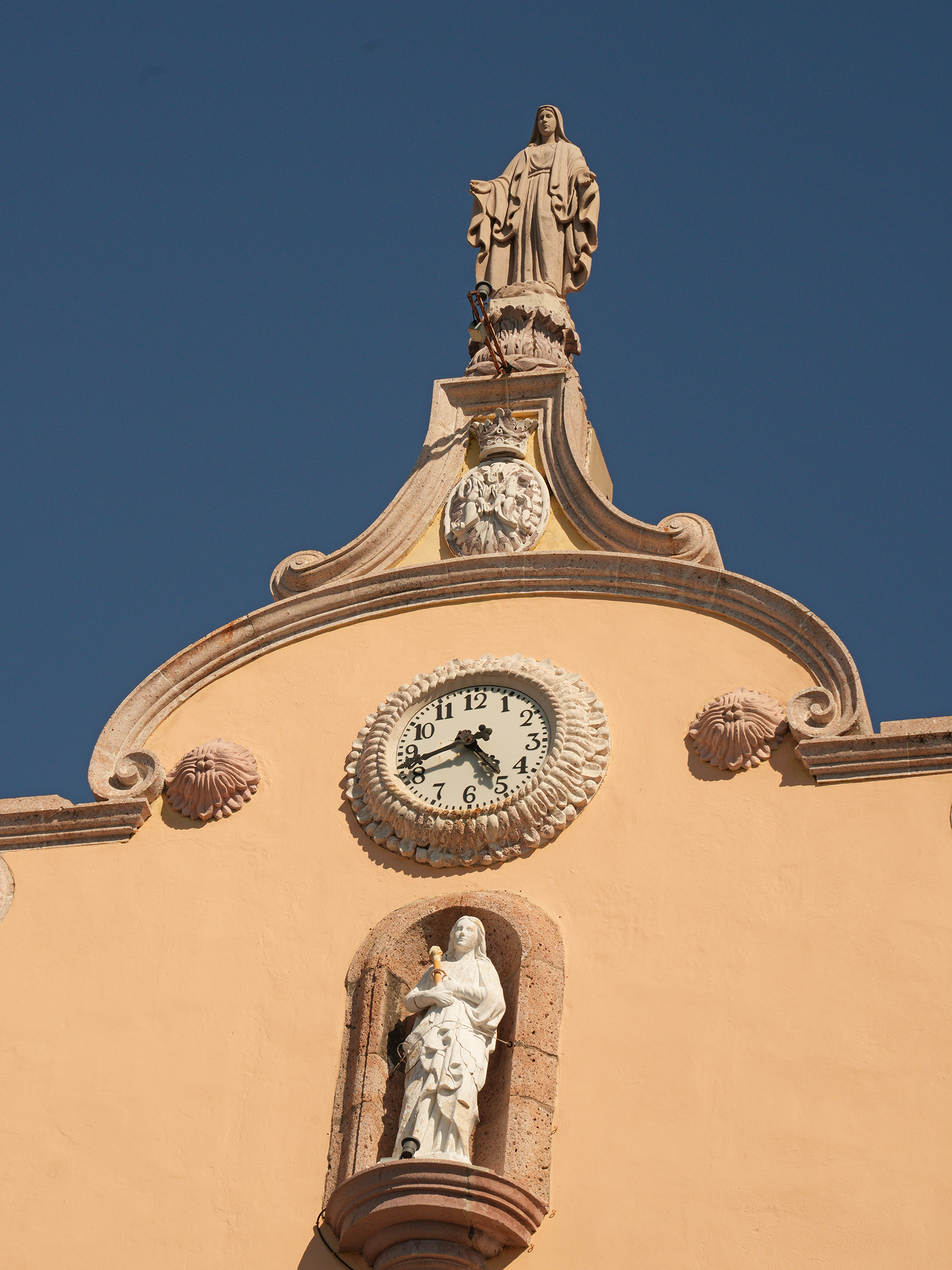
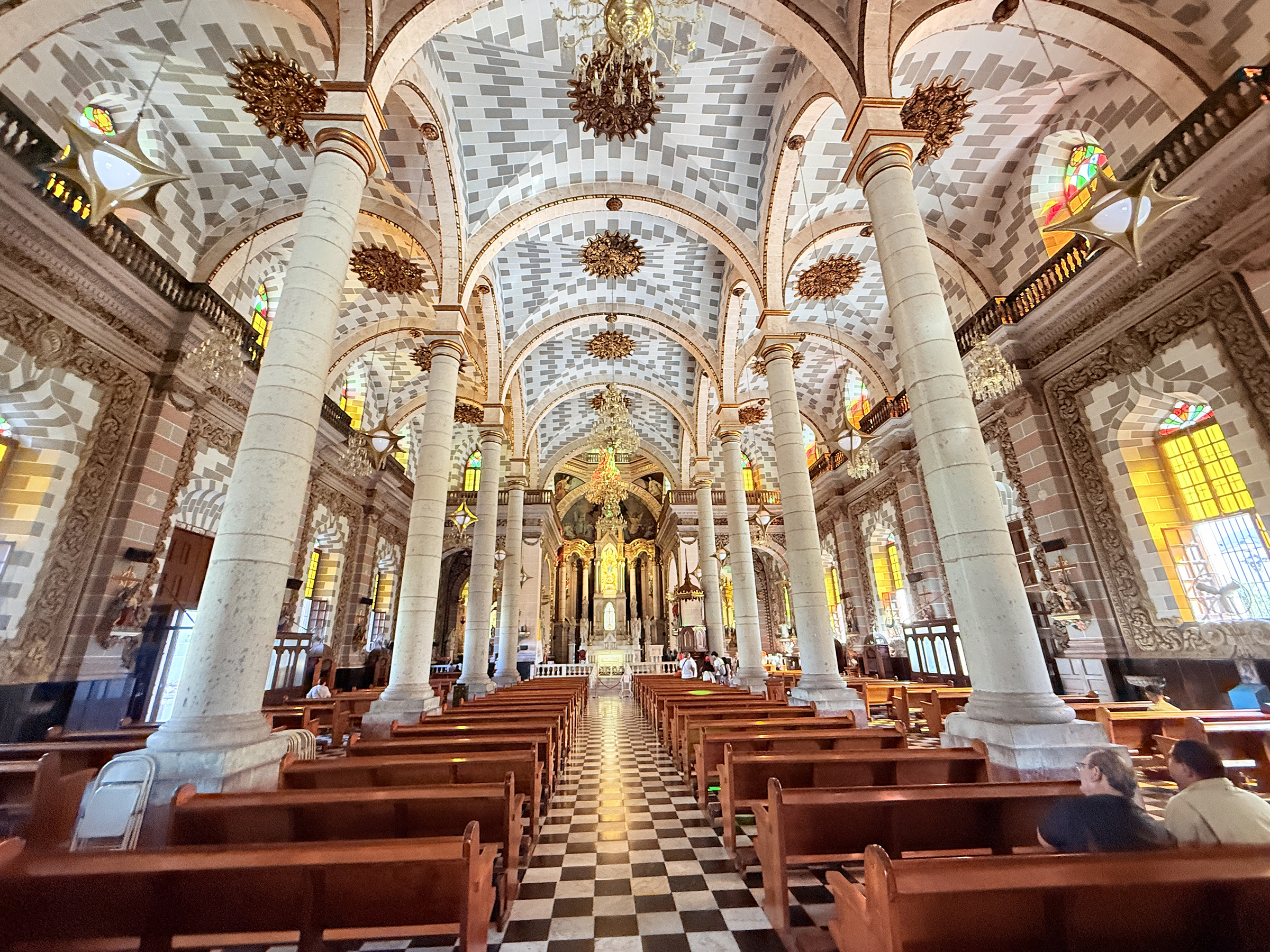
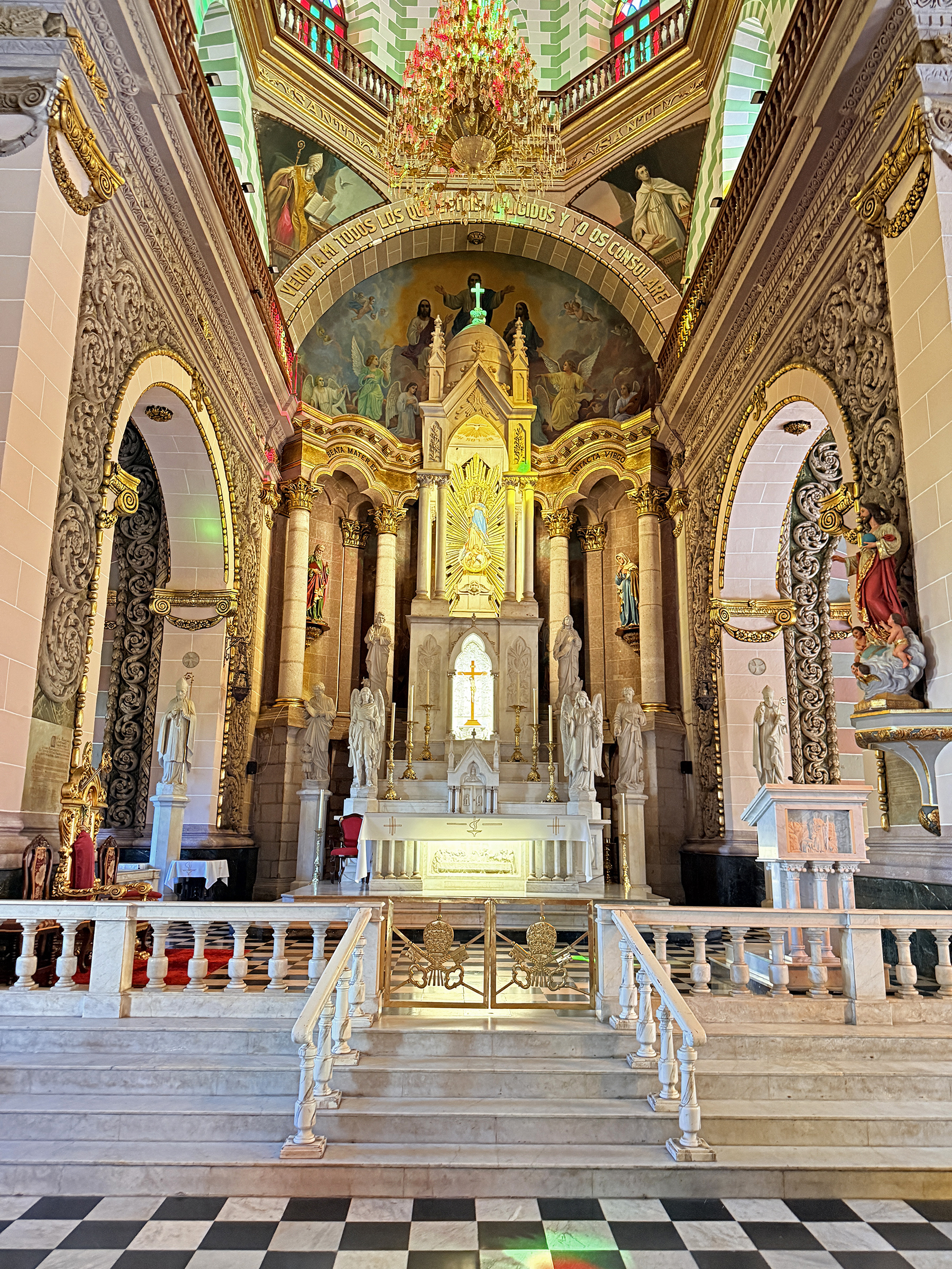
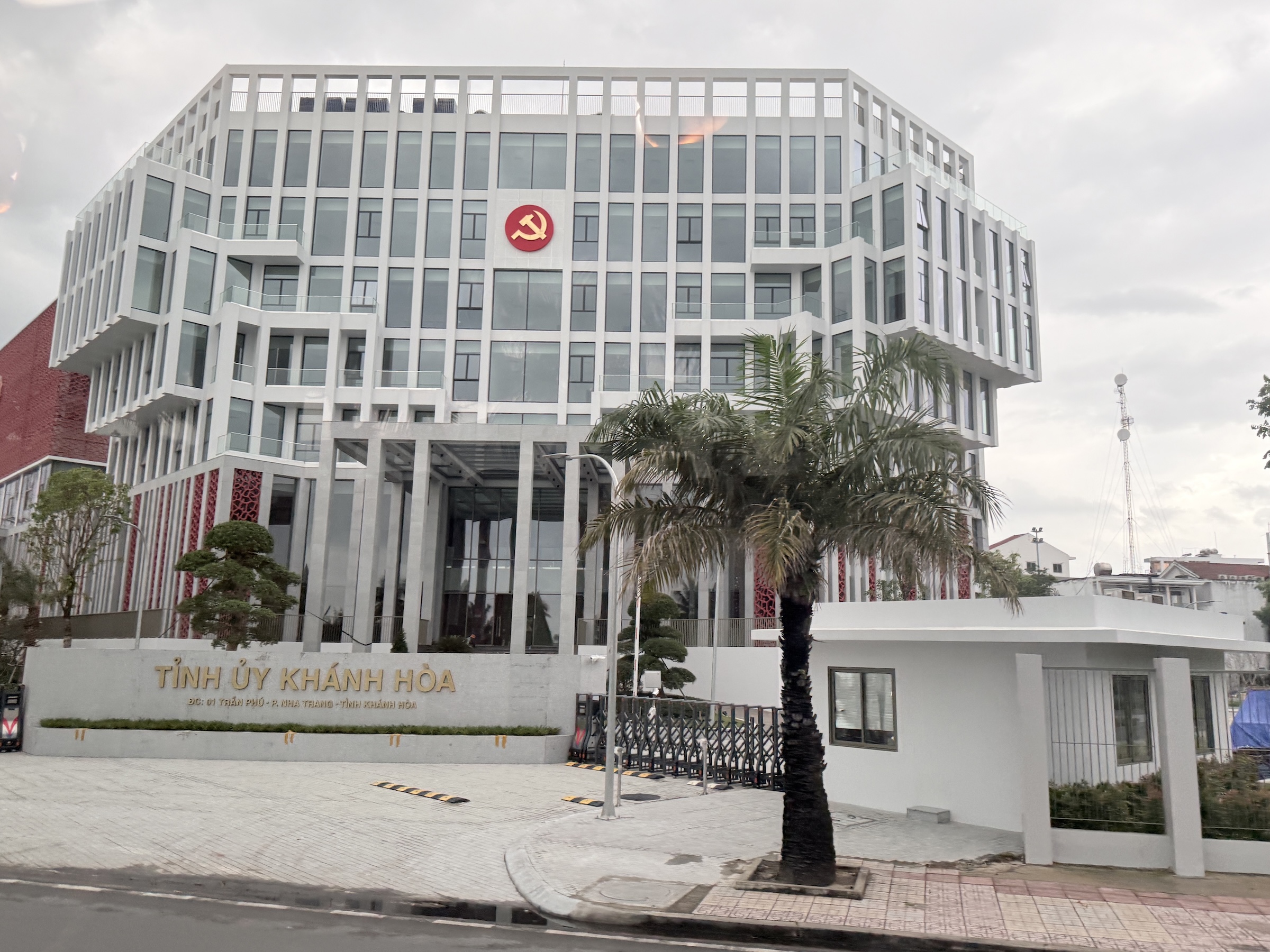
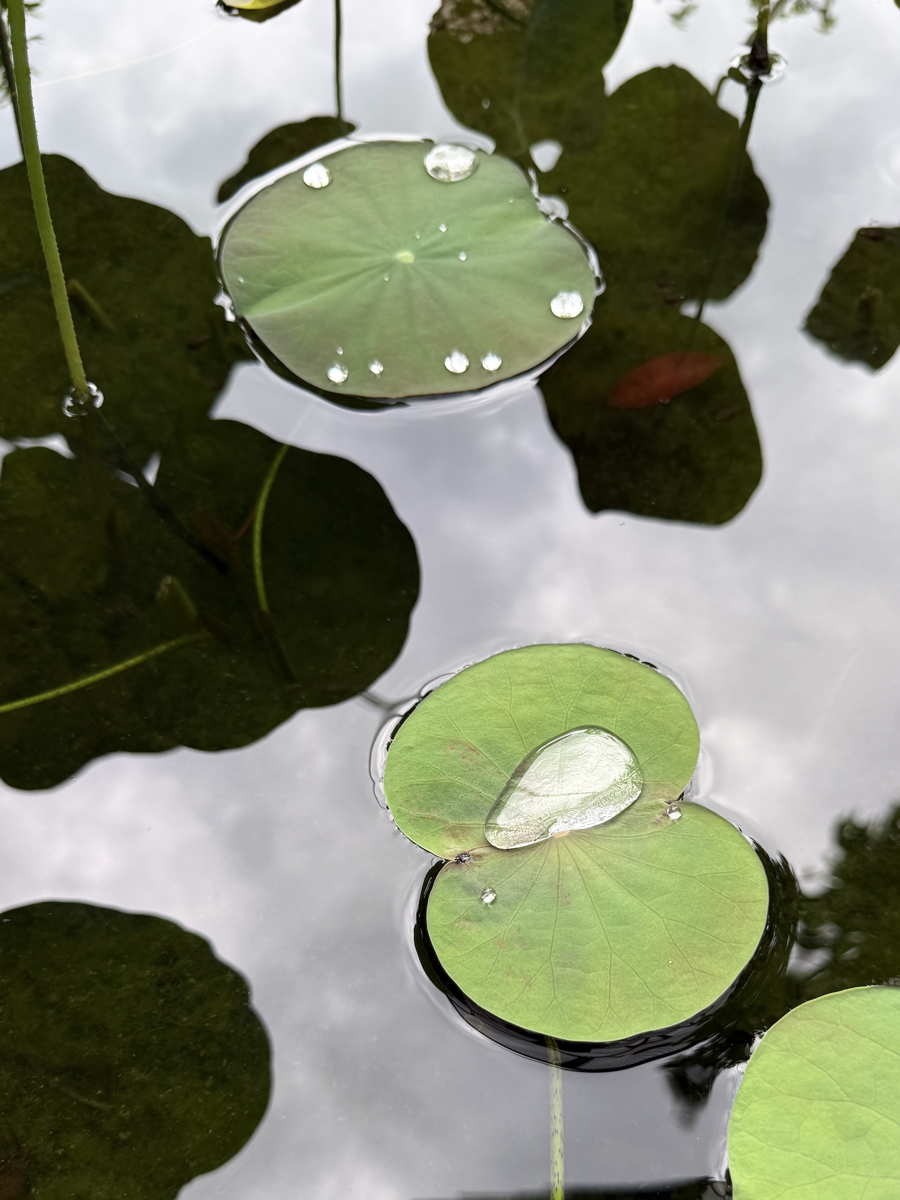
The next stop was at Ho Chi Minh City History Museum with its lovely water lily pond and displays of the forces that occupied the territory of what is known as Viet Nam today.
I asked Google AI Overview for a summary:
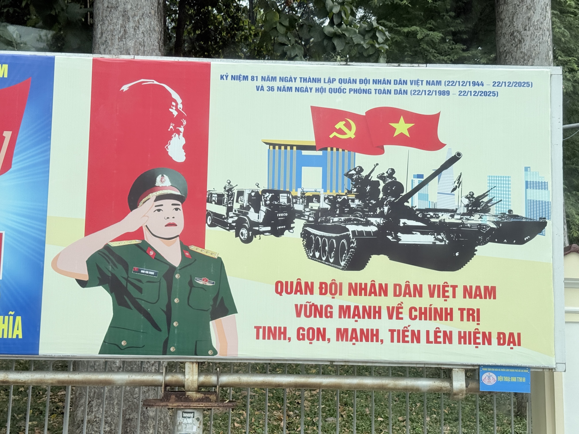
Vietnam’s history is marked by occupation and resistance, starting with over a millennium of Chinese rule (c. 111 BCE–938 CE), followed by internal dynasties and expansion south. French colonization from the 1880s led to French Indochina, briefly interrupted by Japanese occupation during WWII, sparking the Viet Minh independence movement. After WWII, France tried to reclaim control, leading to the First Indochina War (1946-1954), ending with French defeat and Vietnam’s division, ultimately leading to the Vietnam War (US involvement) and communist unification in 1975.
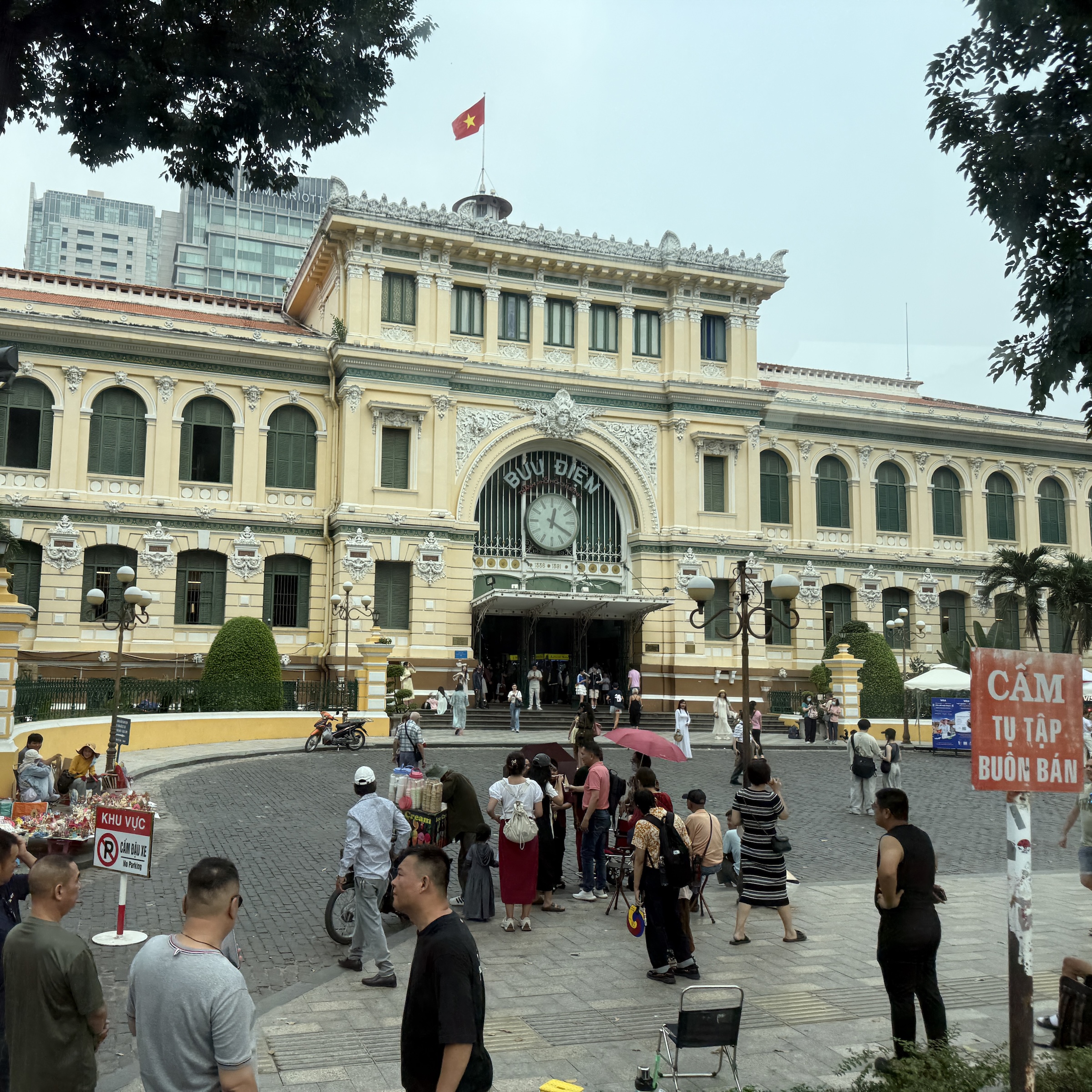
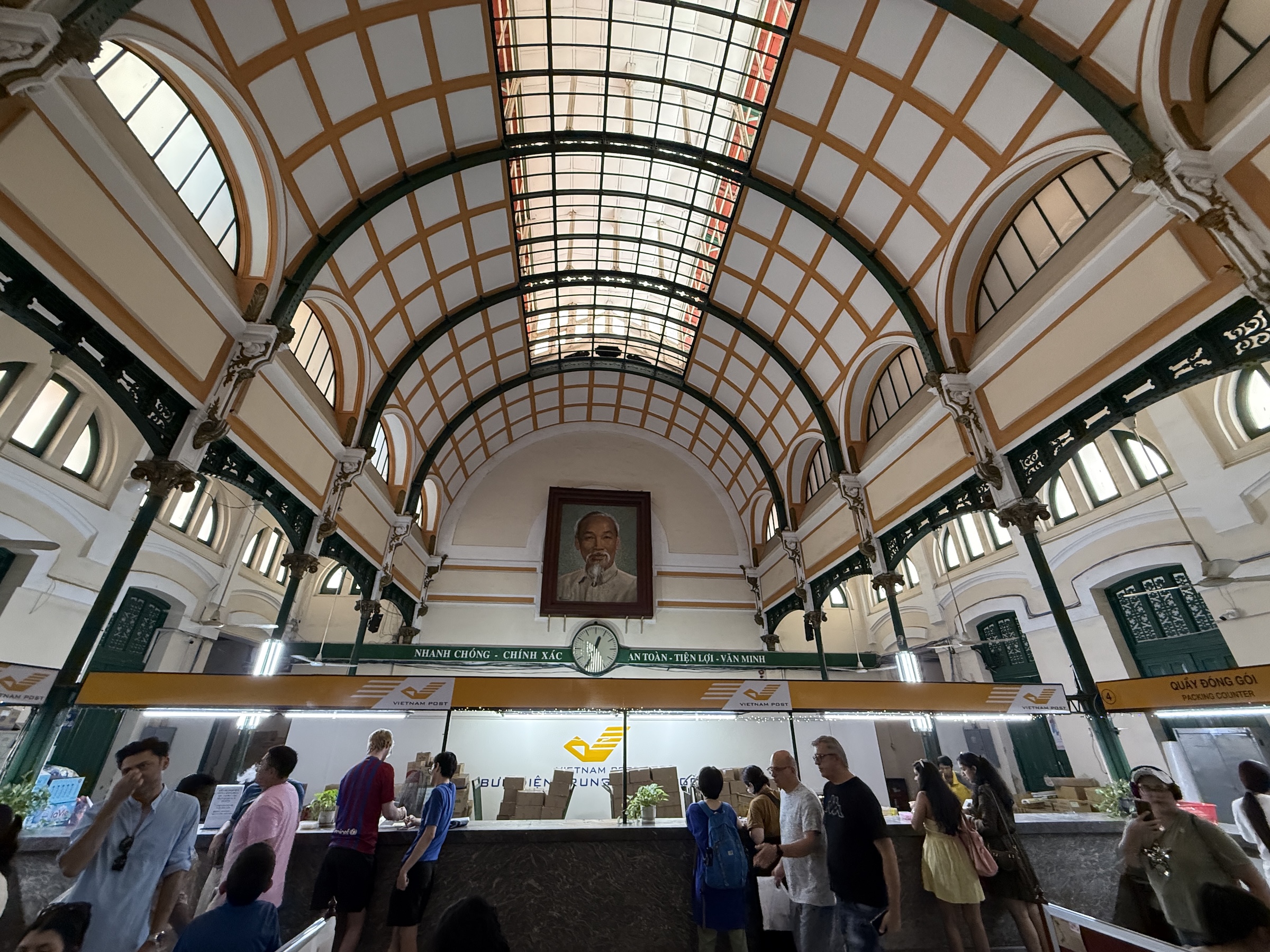
Next was the Saigon Central Post Office with a portrait of Ho Chi Minh inside. (Ho Chi Minh was the man that led a long and ultimately successful campaign to make Vietnam independent. He was president of North Vietnam from 1945 to 1969.)
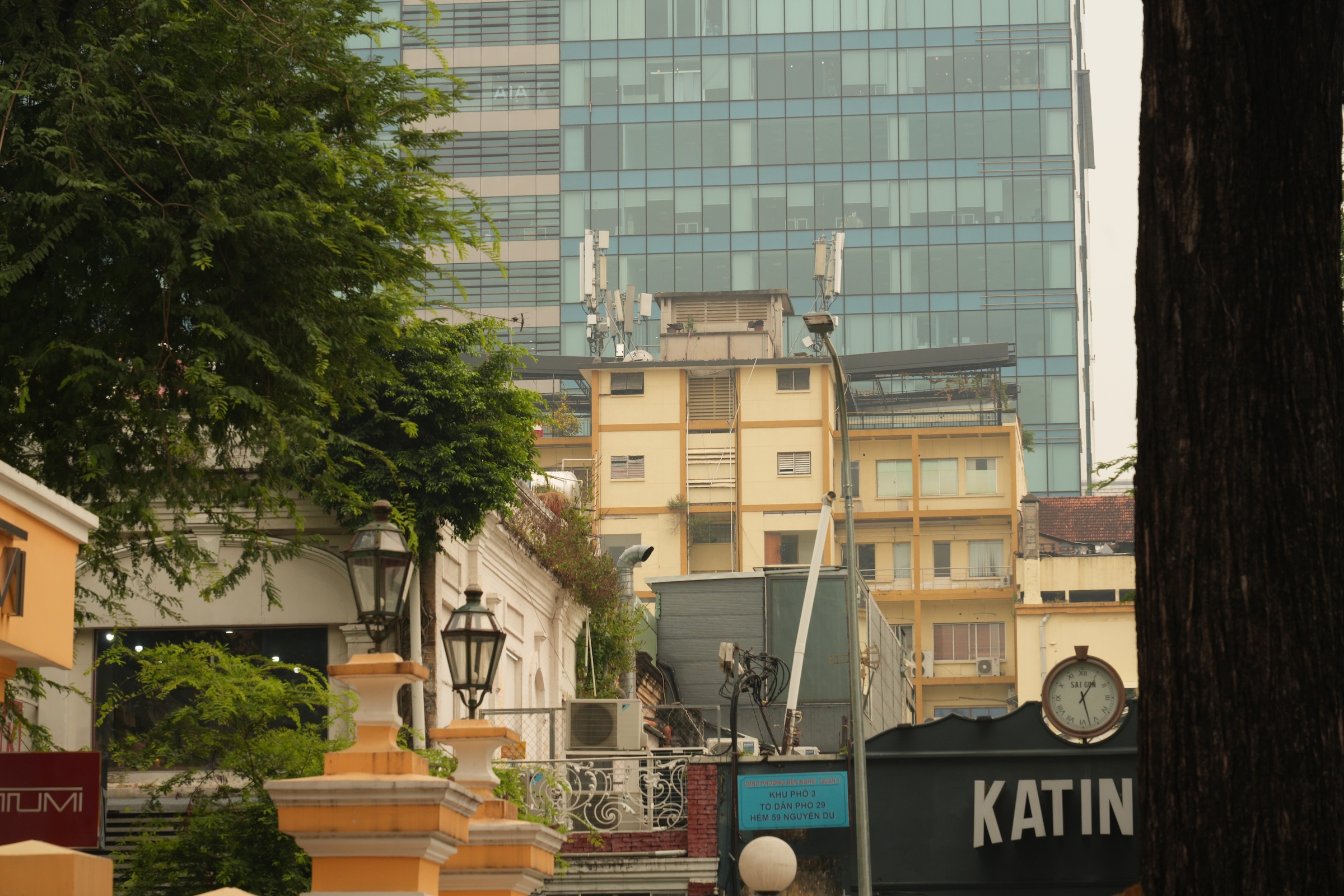
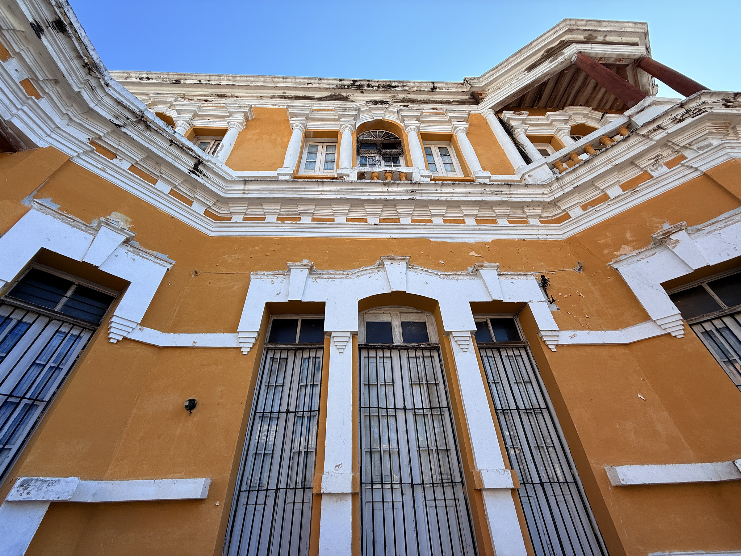
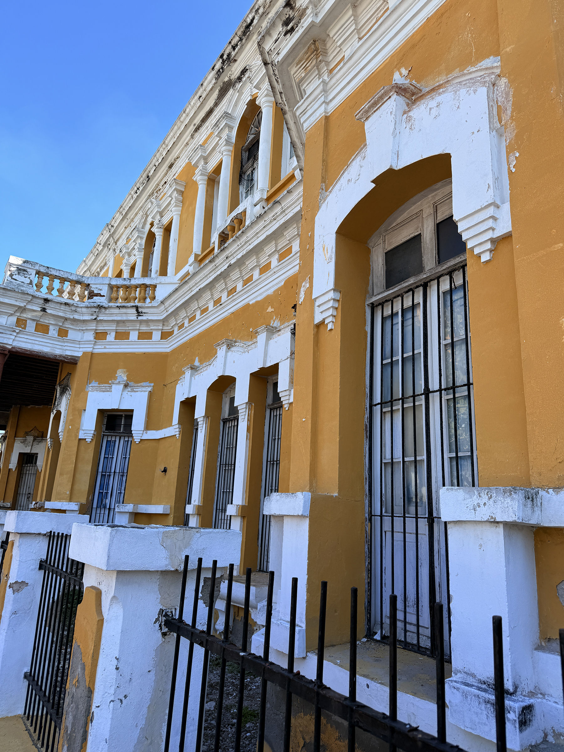
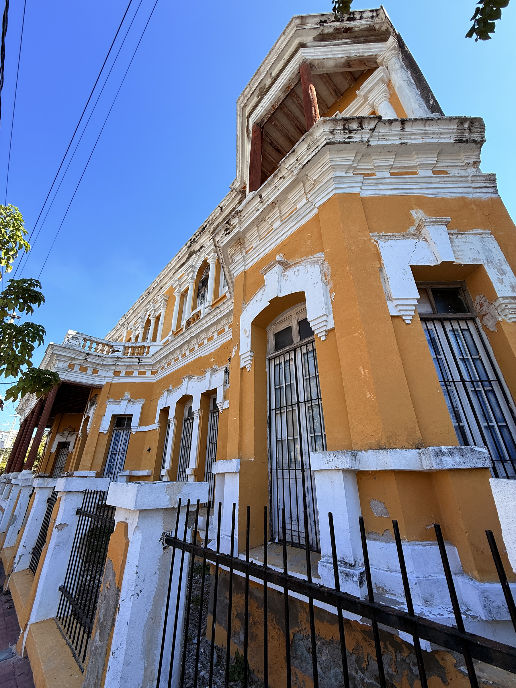
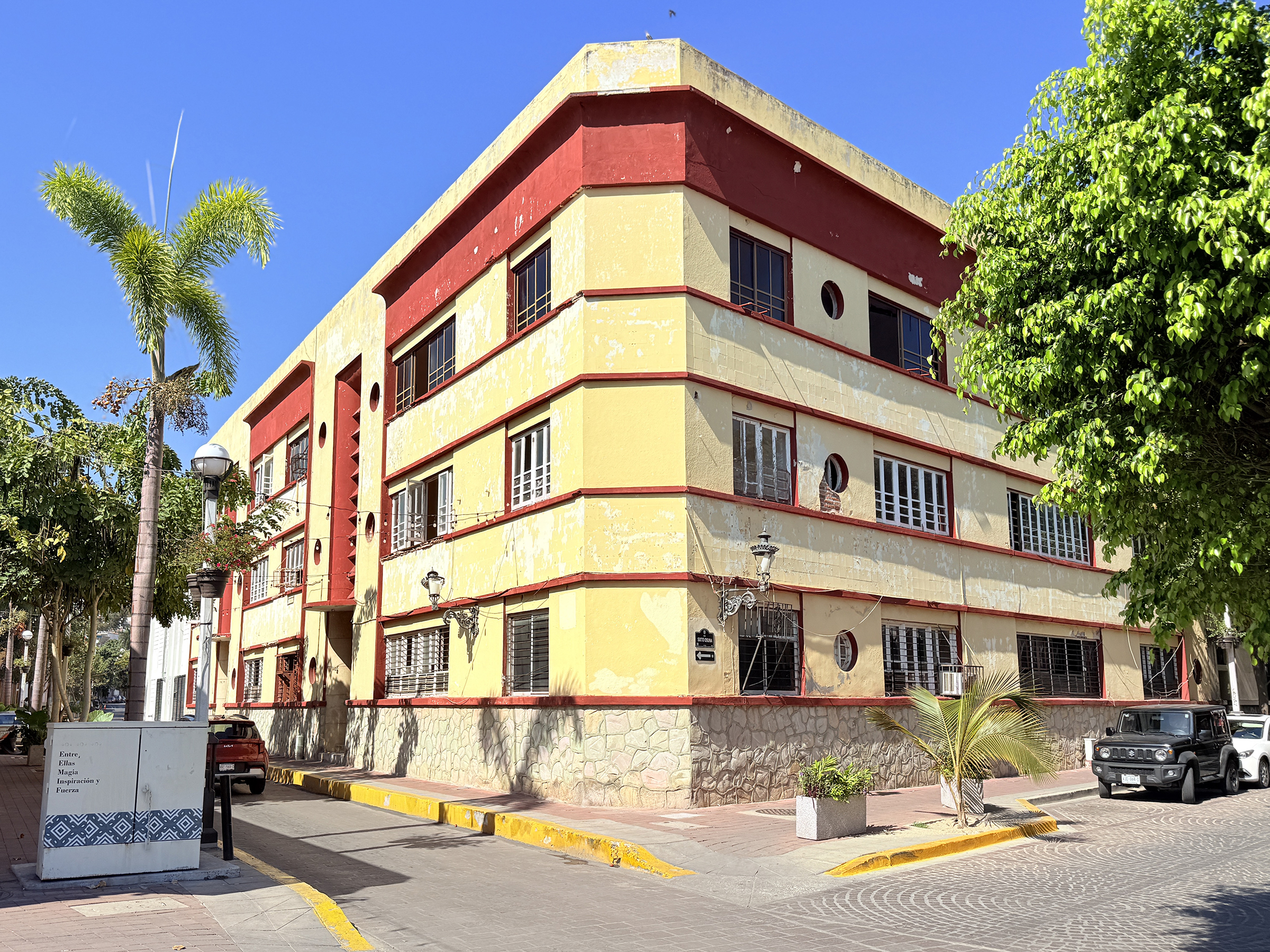
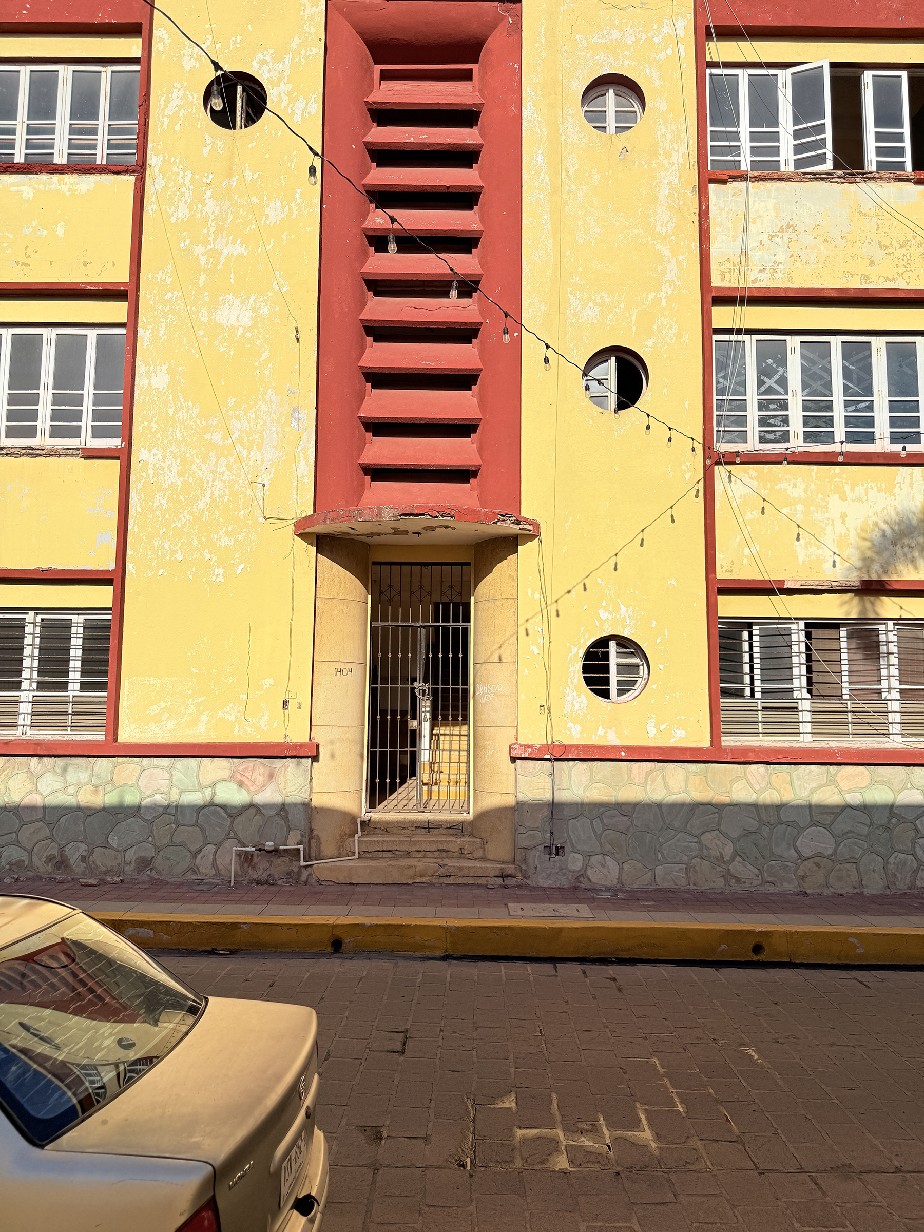
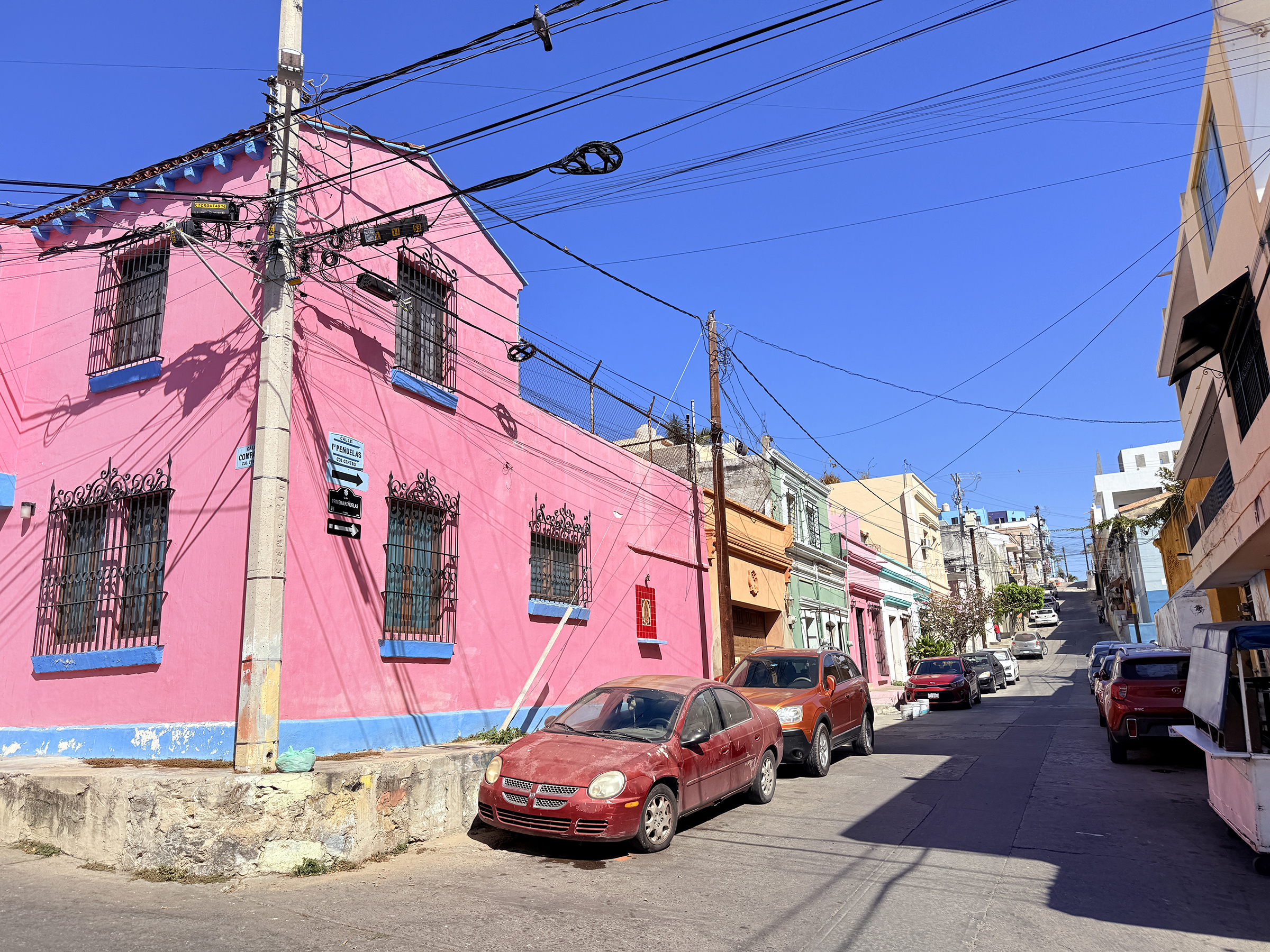
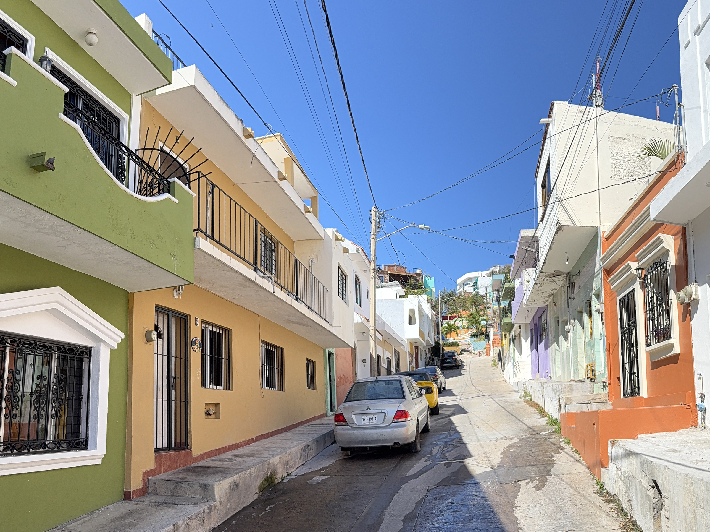
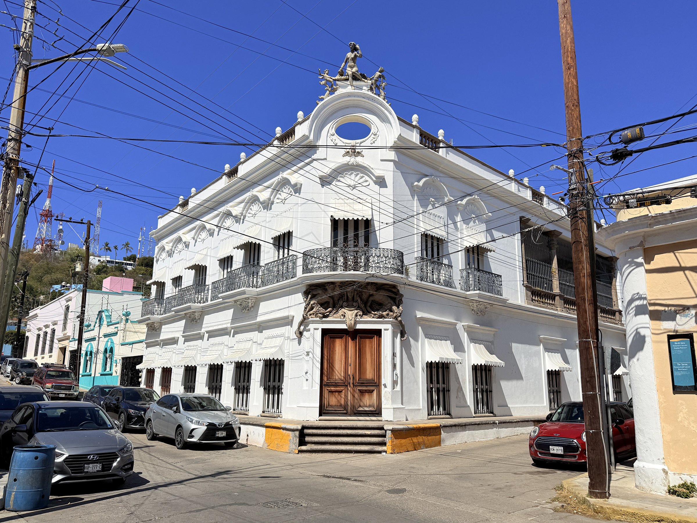
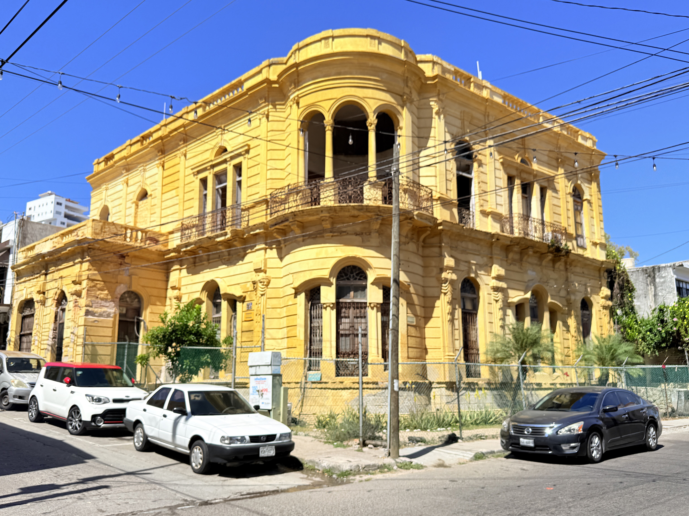
Look for my picture of the Pittman Apartments building from which people were airlifted from during the Fall of Saigon in April 1975 (famously captured in Hubert van Es’s iconic photo). It’s painted yellow and light brown and has several antennas attached to it.
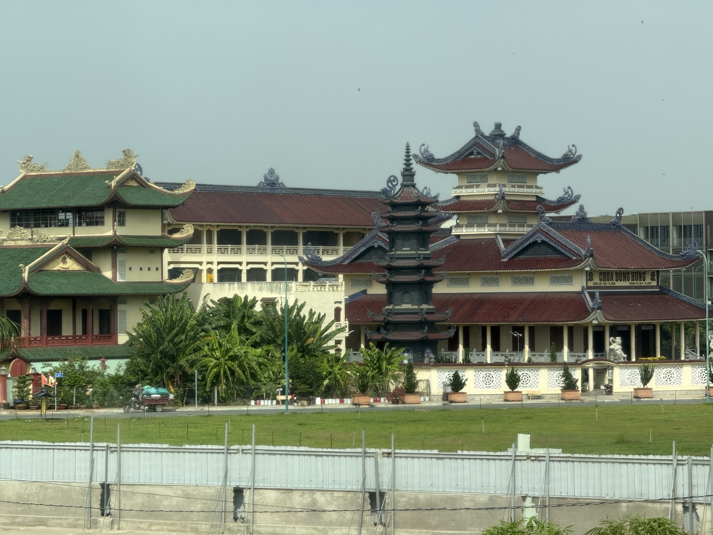
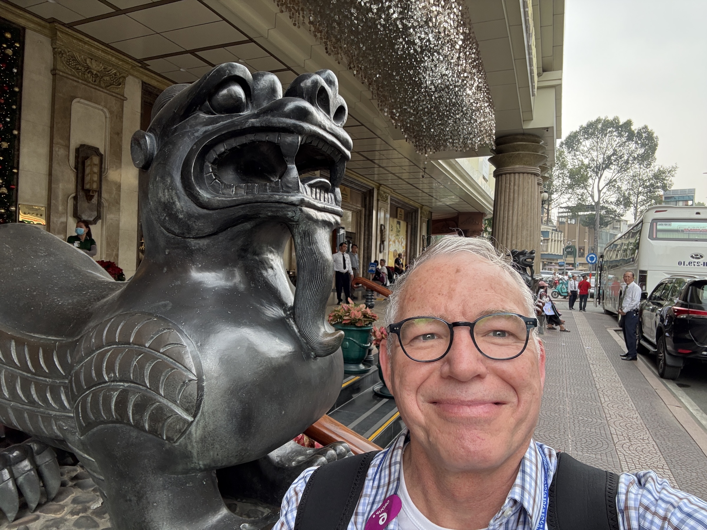
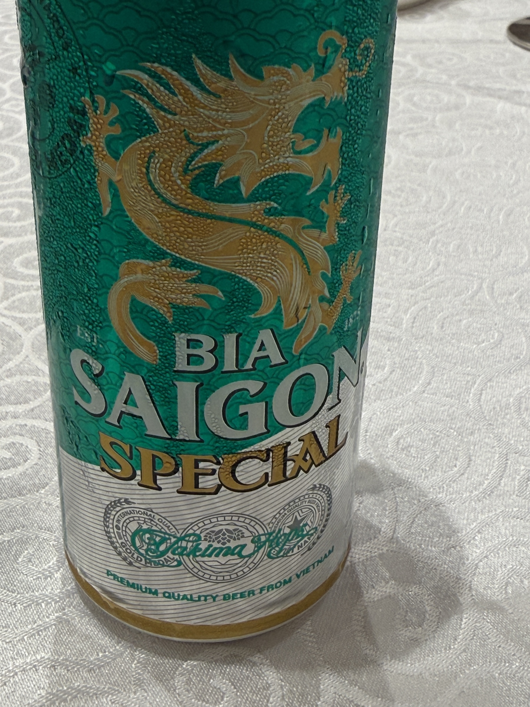
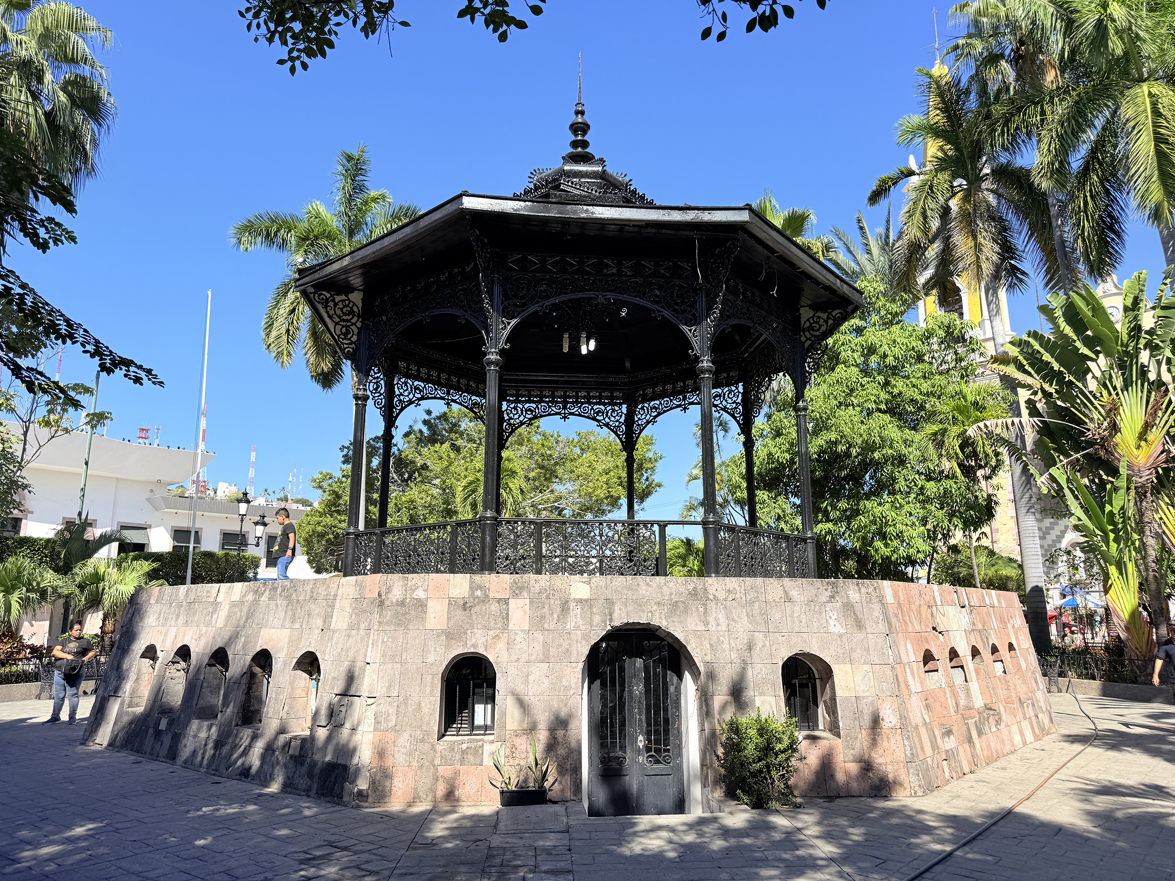
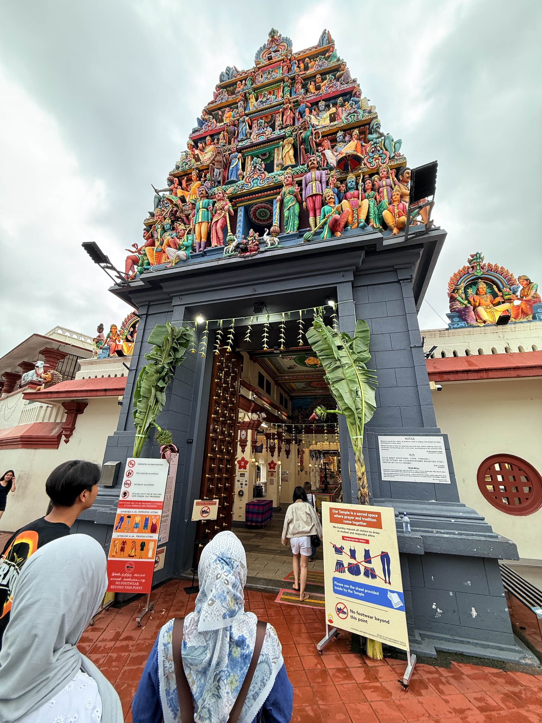
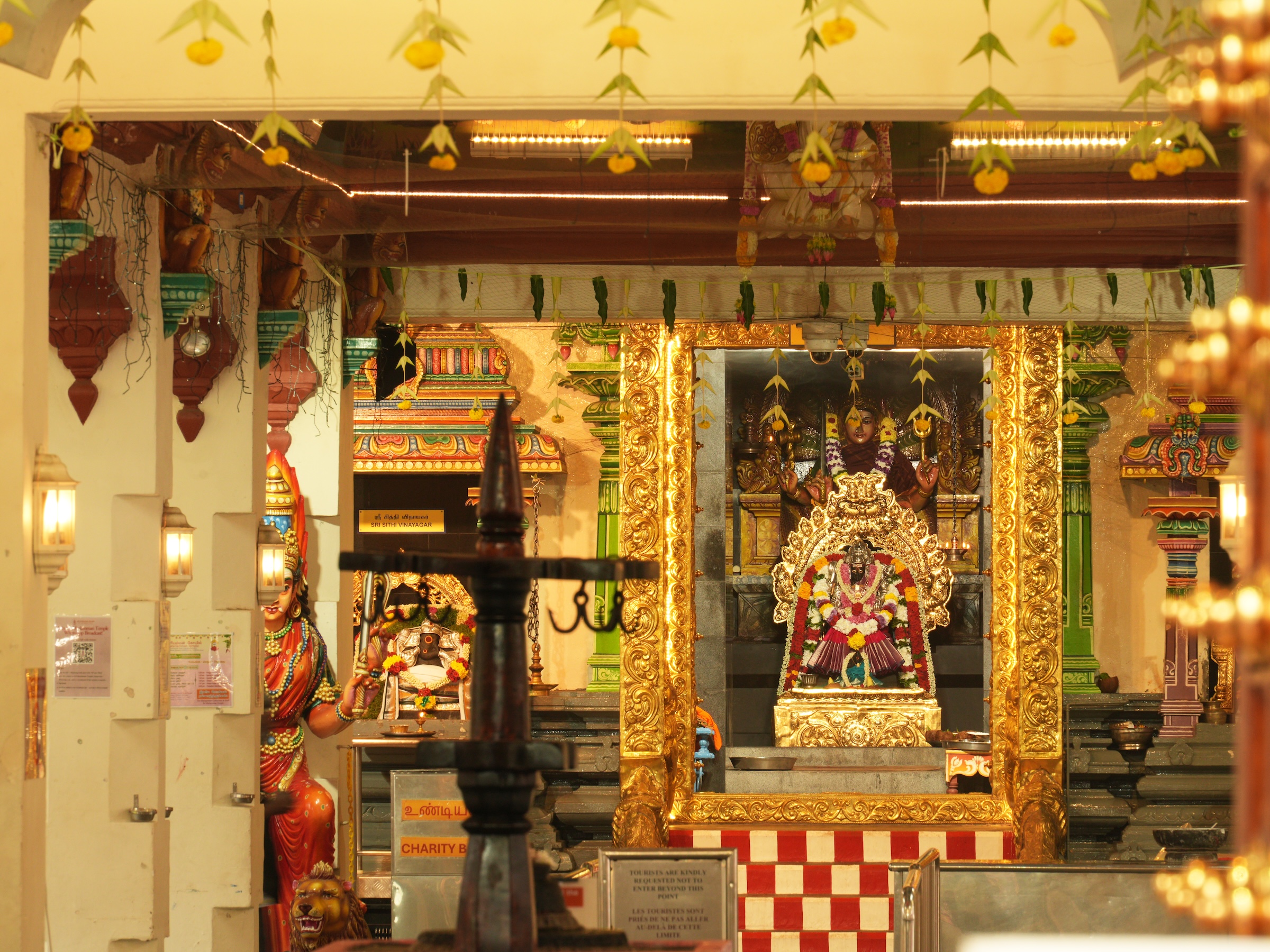
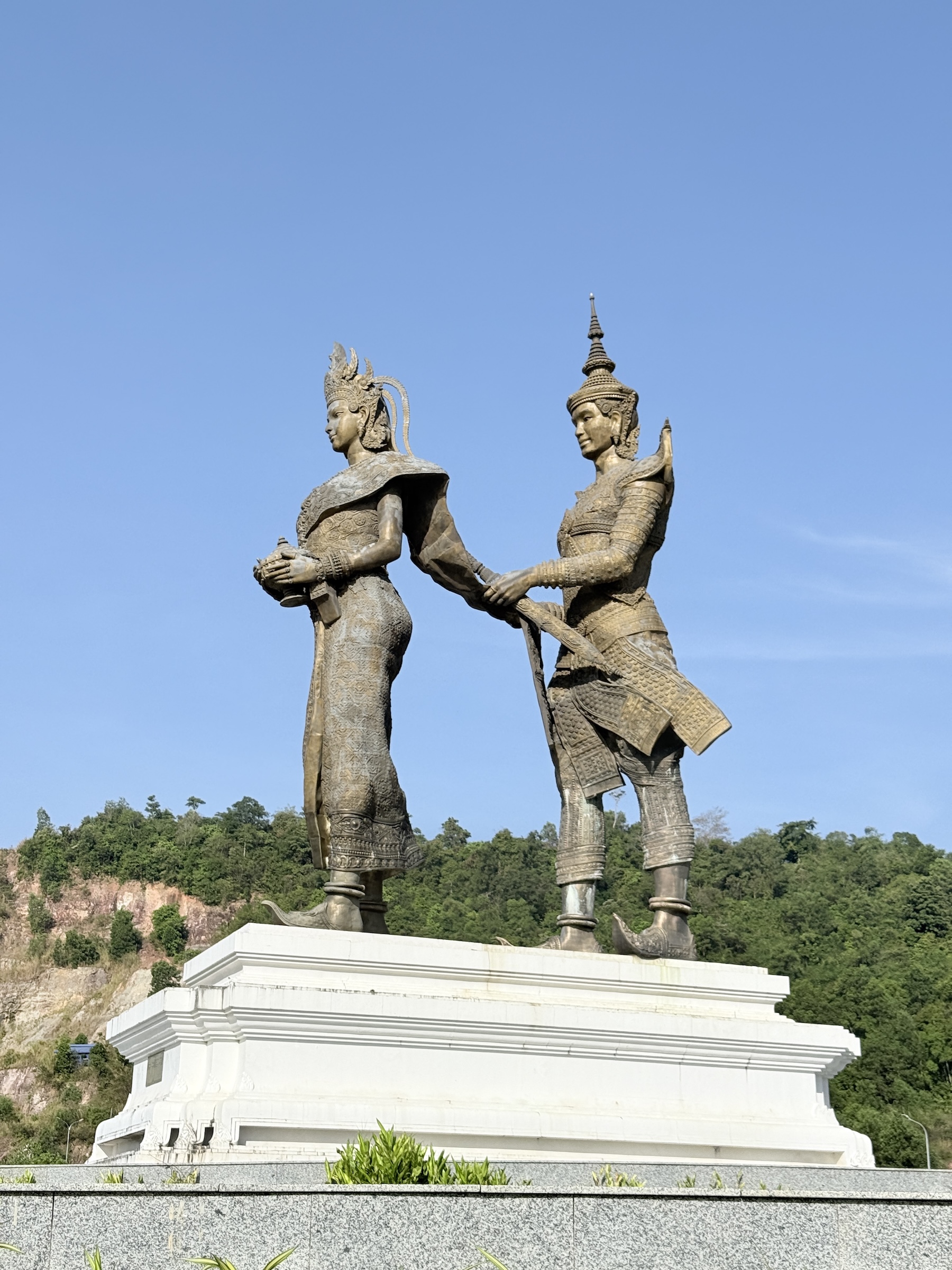
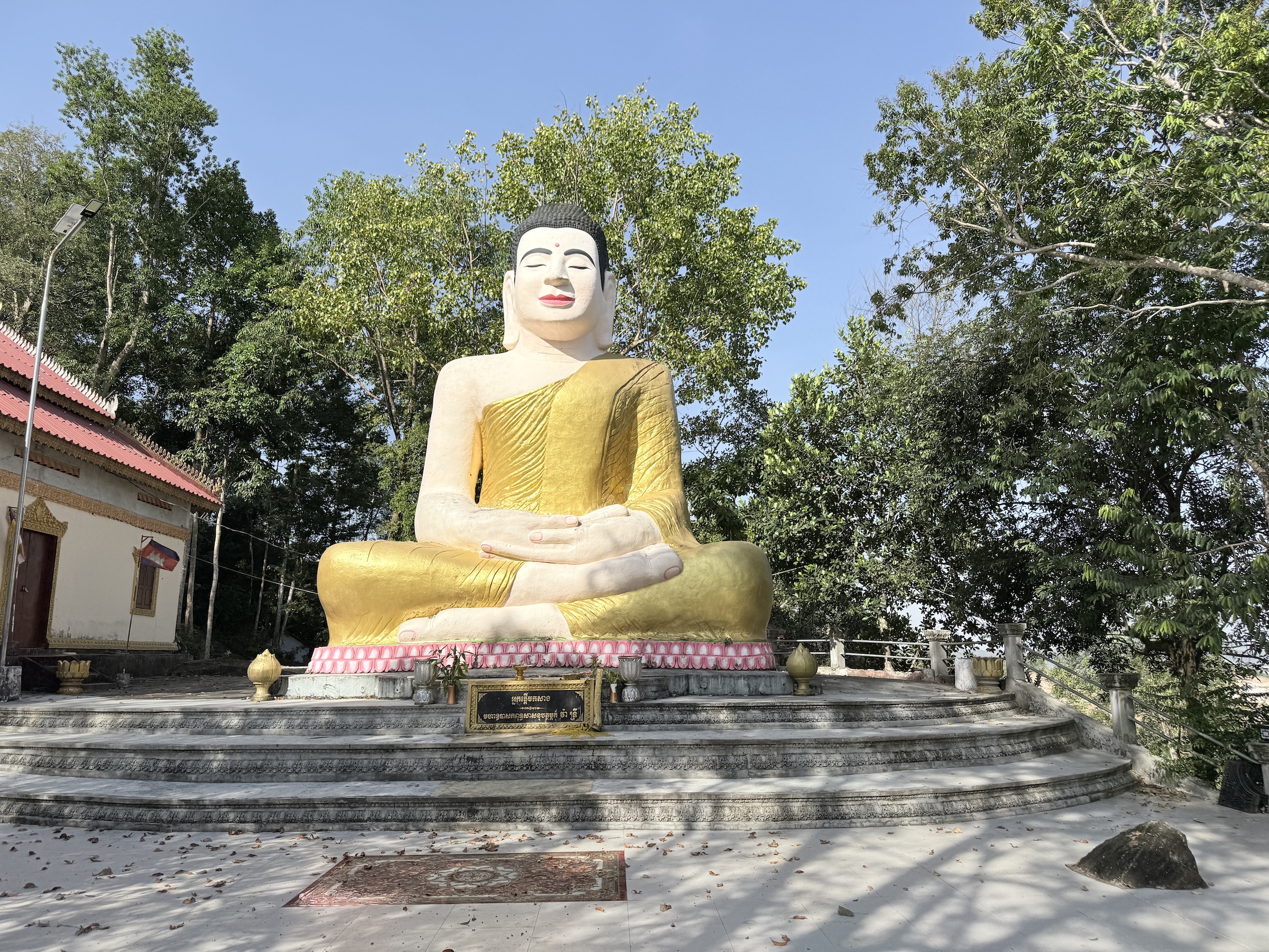
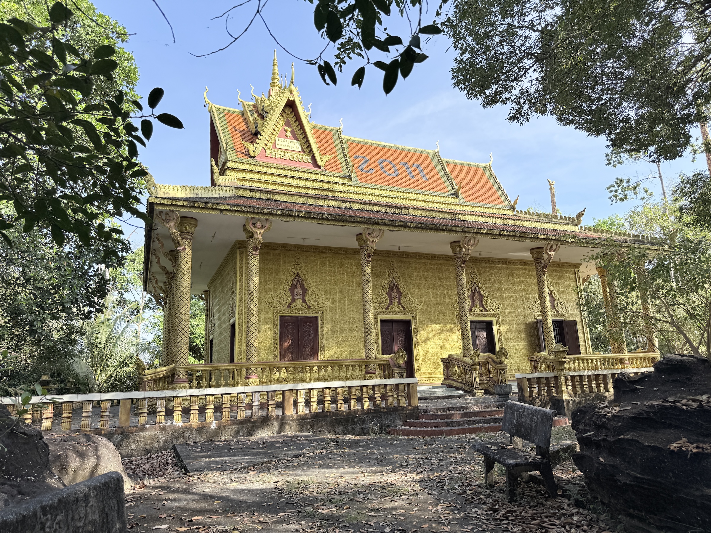
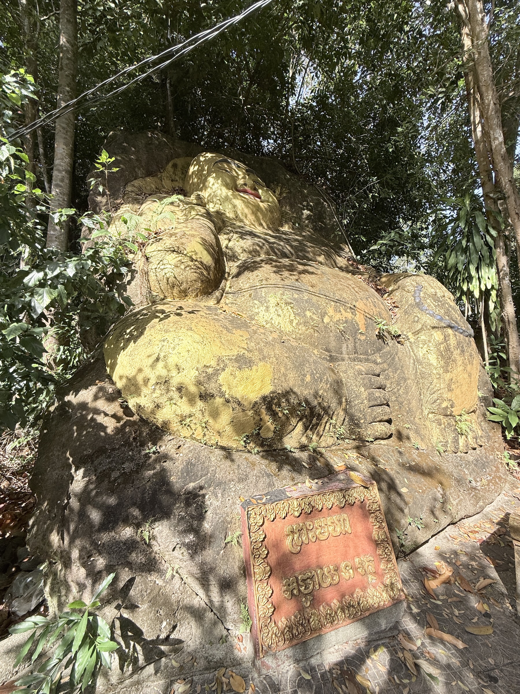
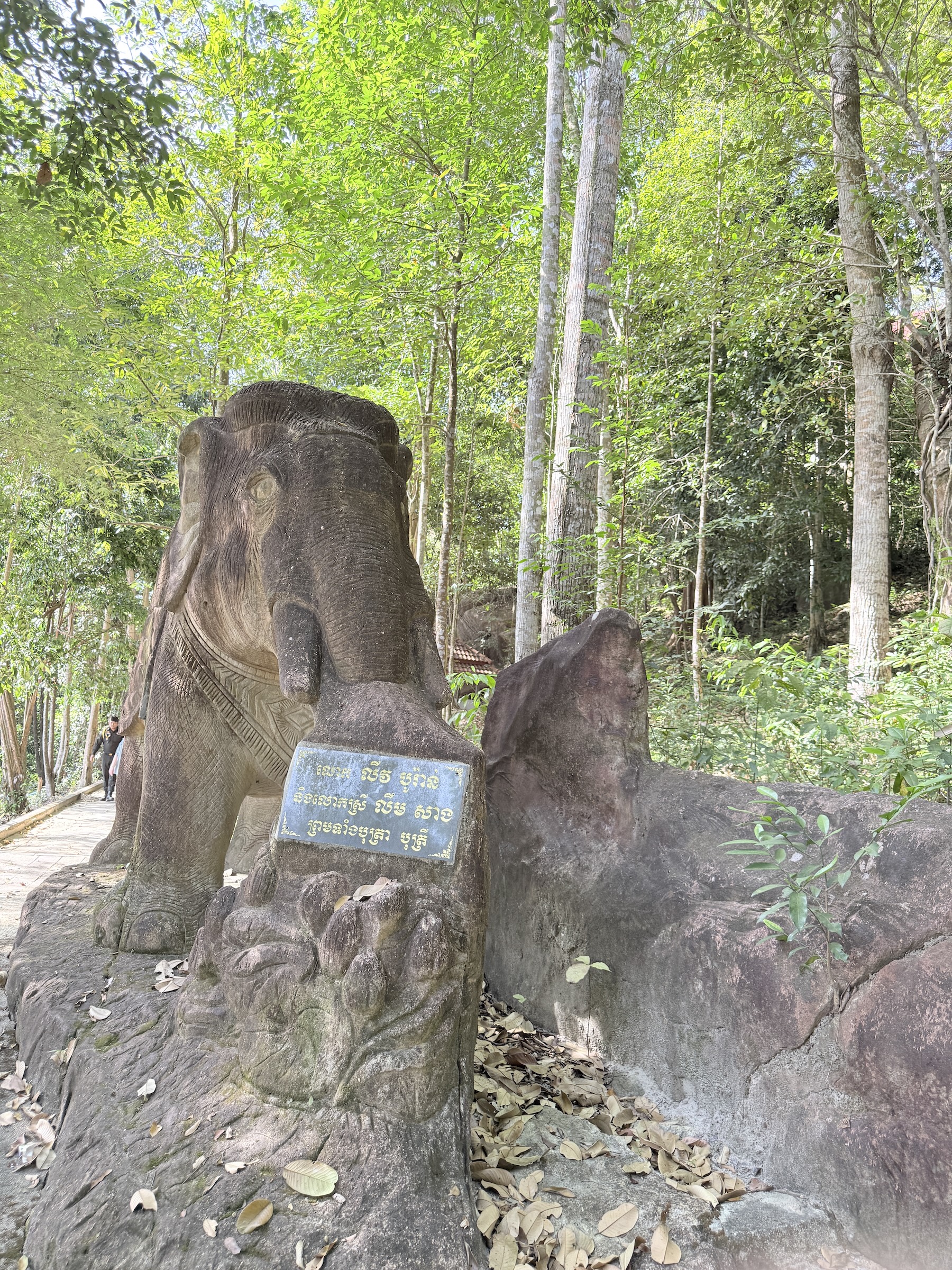
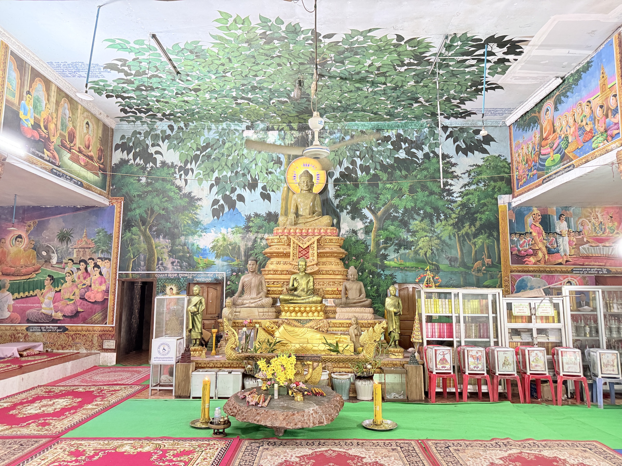
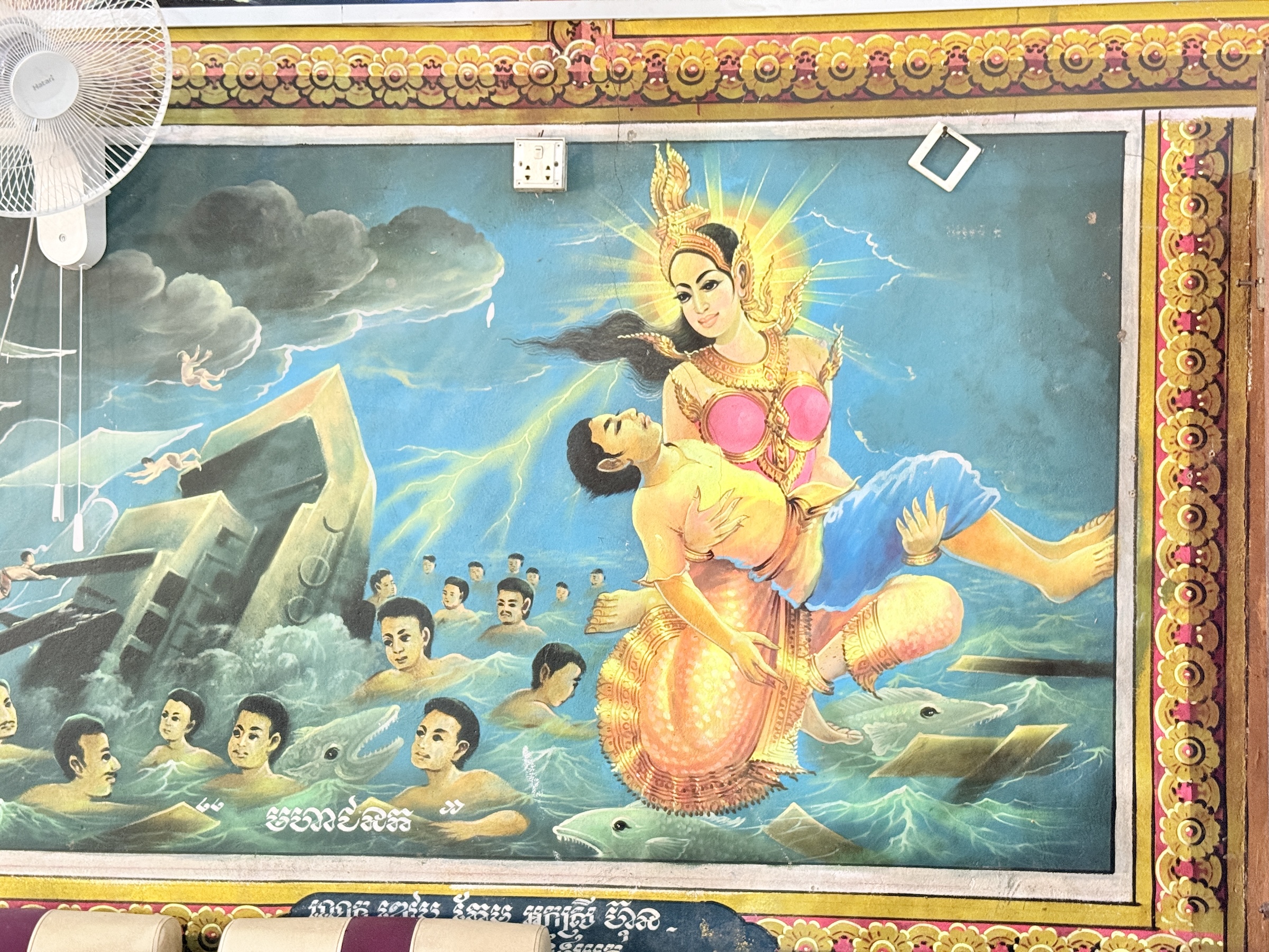
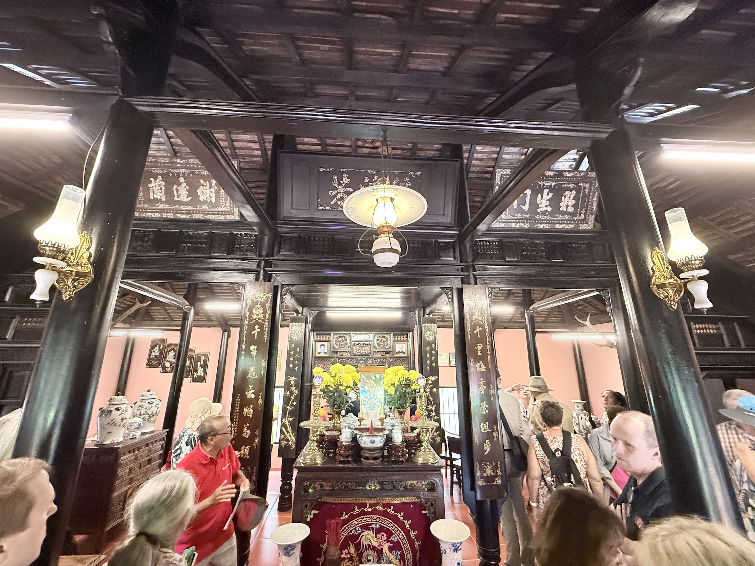
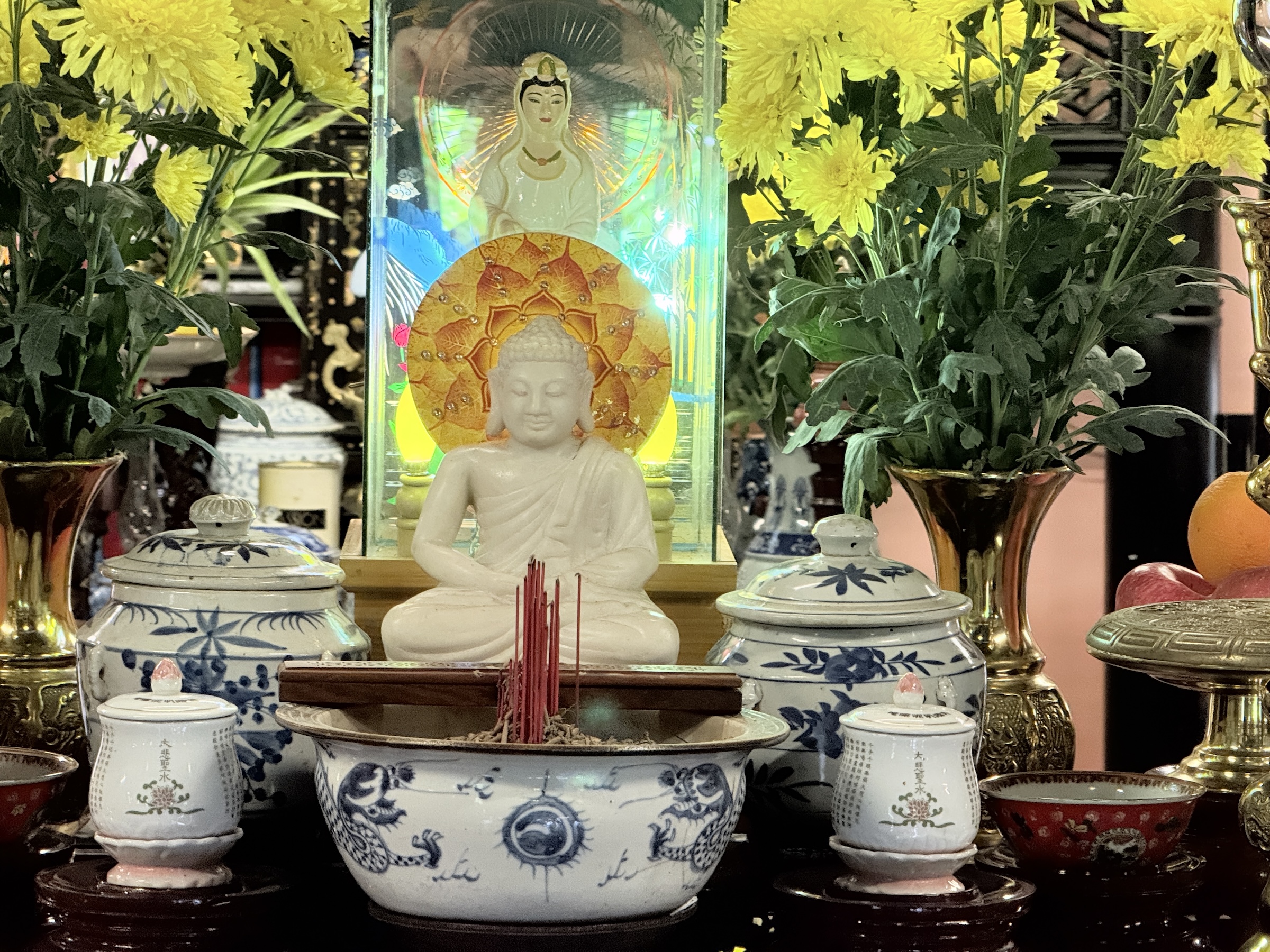
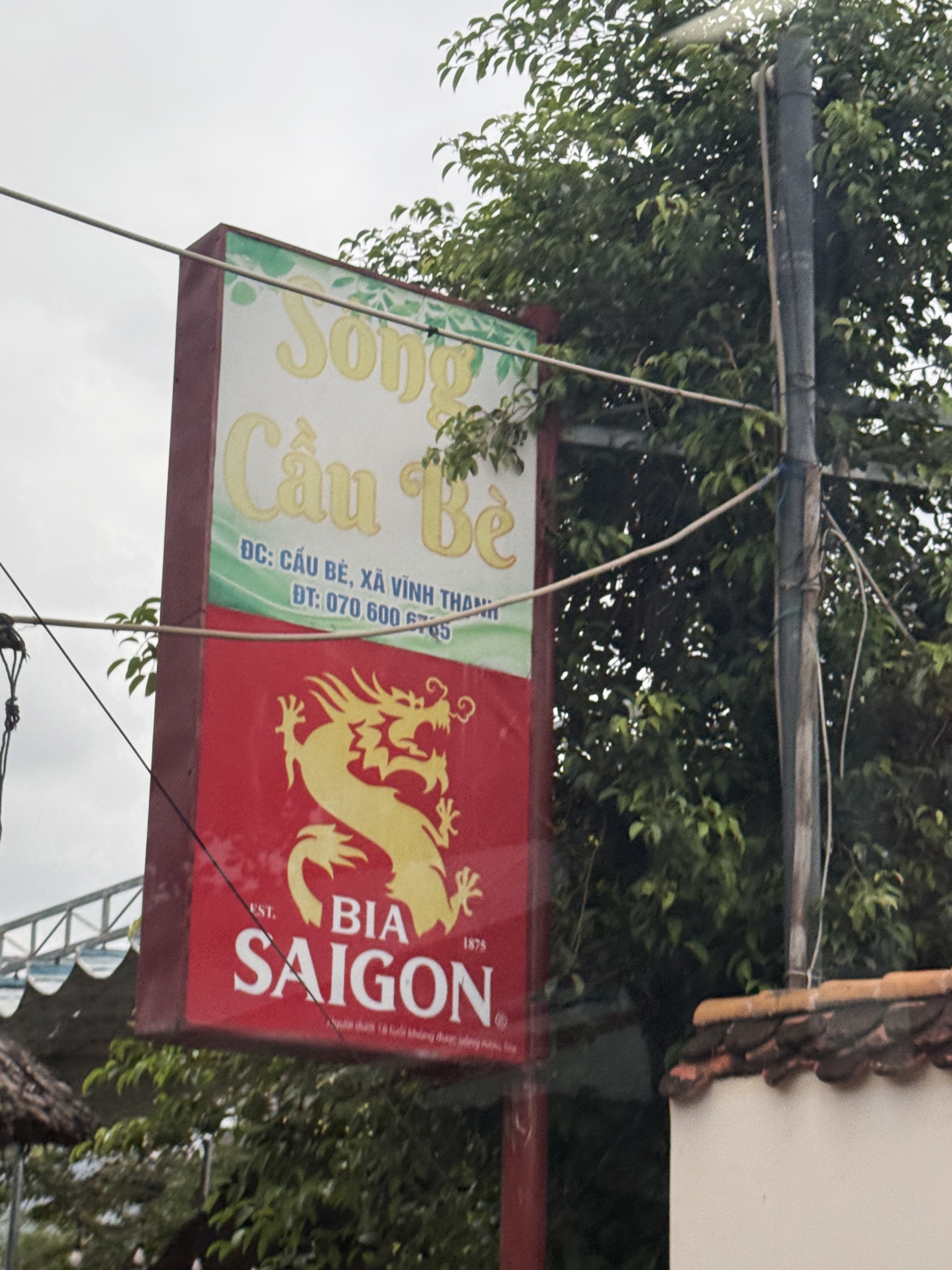
We made a quick stop at a Buddhist Temple, and then went to the swank Windsor Plaza Hotel for lunch. I loved the dragon on my little can of Bia Saigon Special beer.
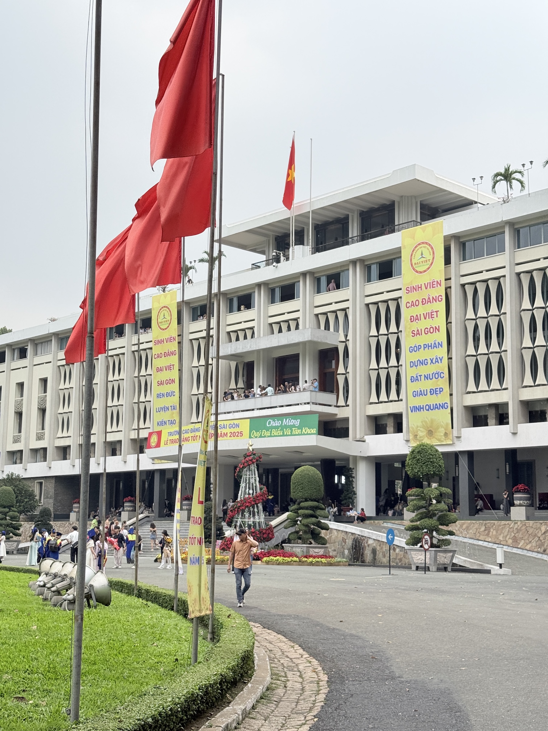
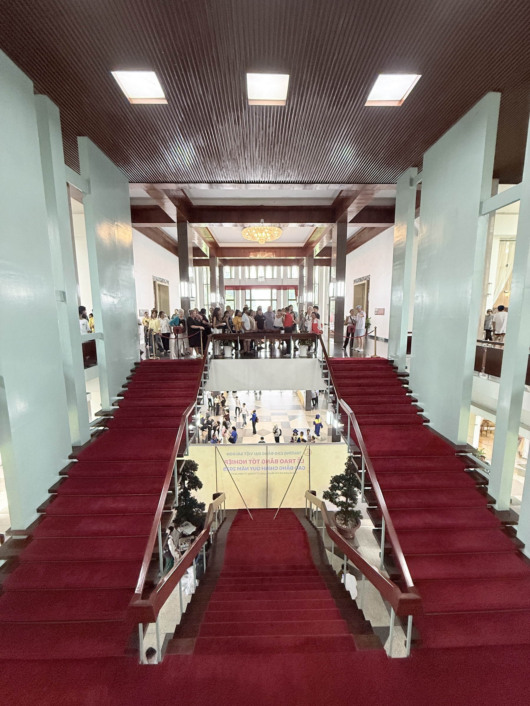
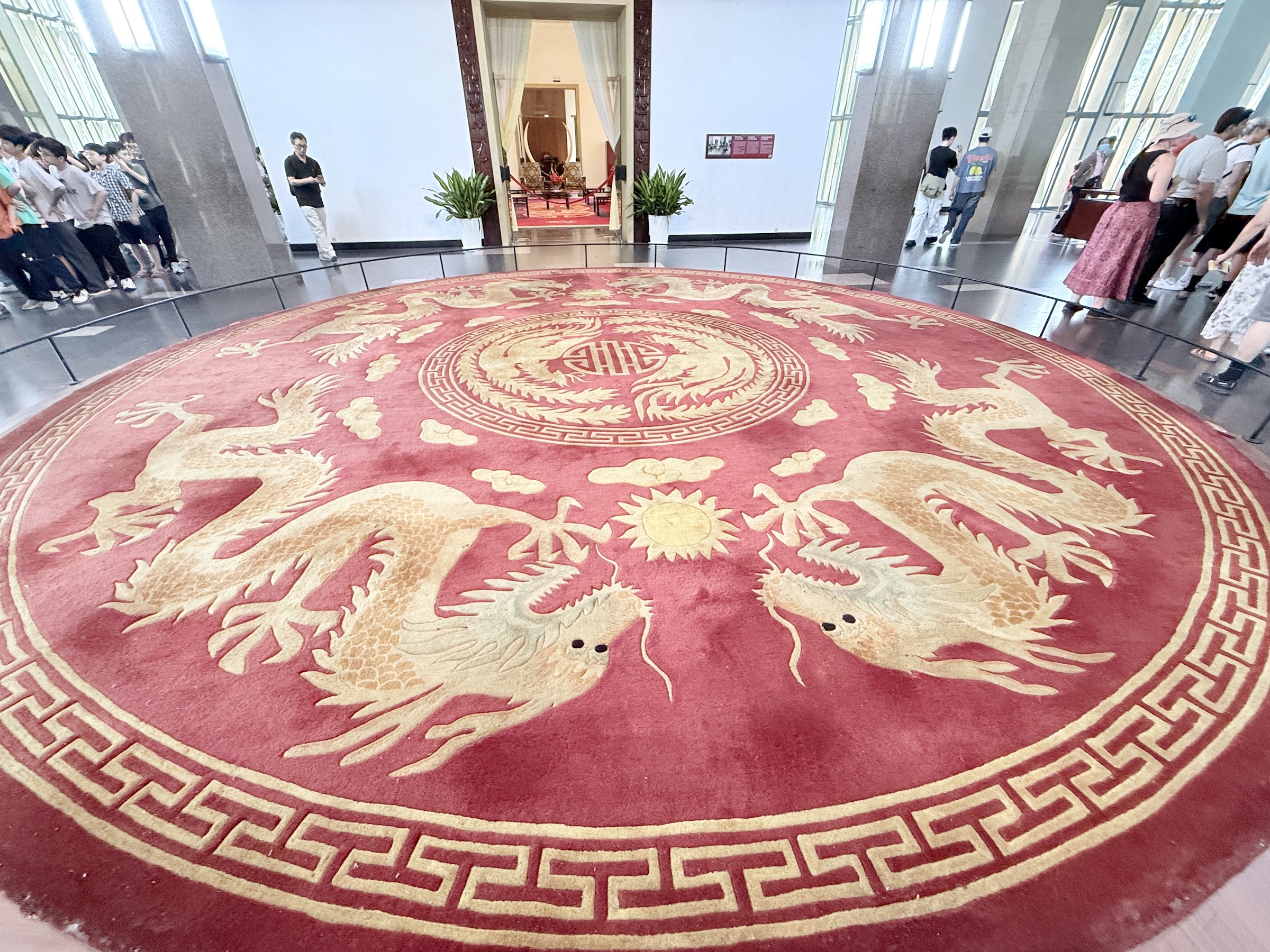
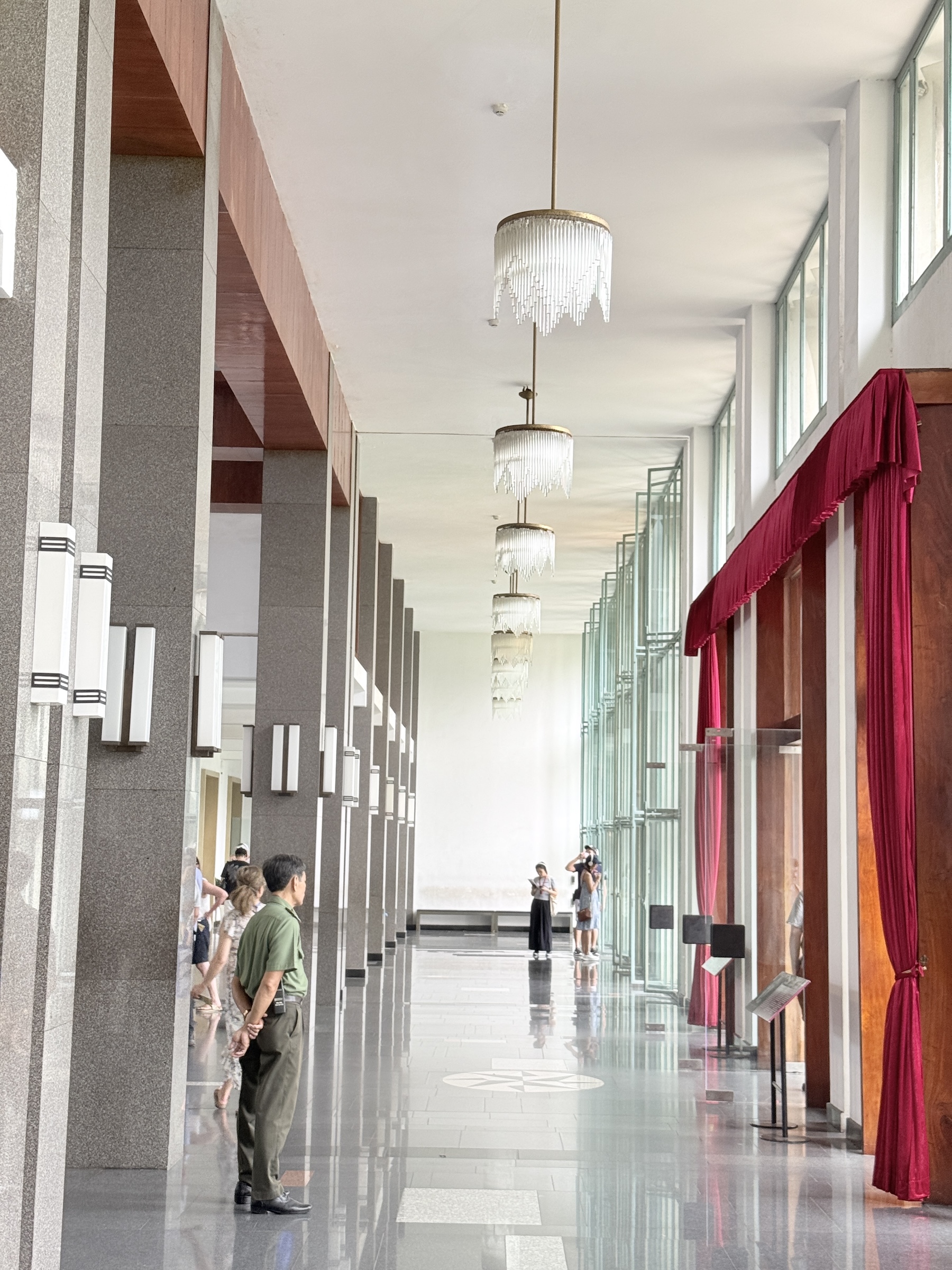
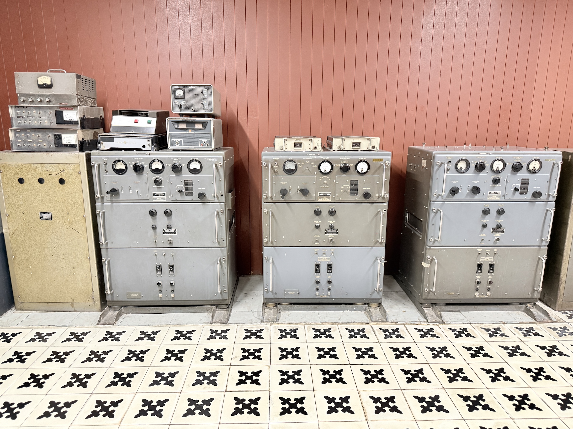
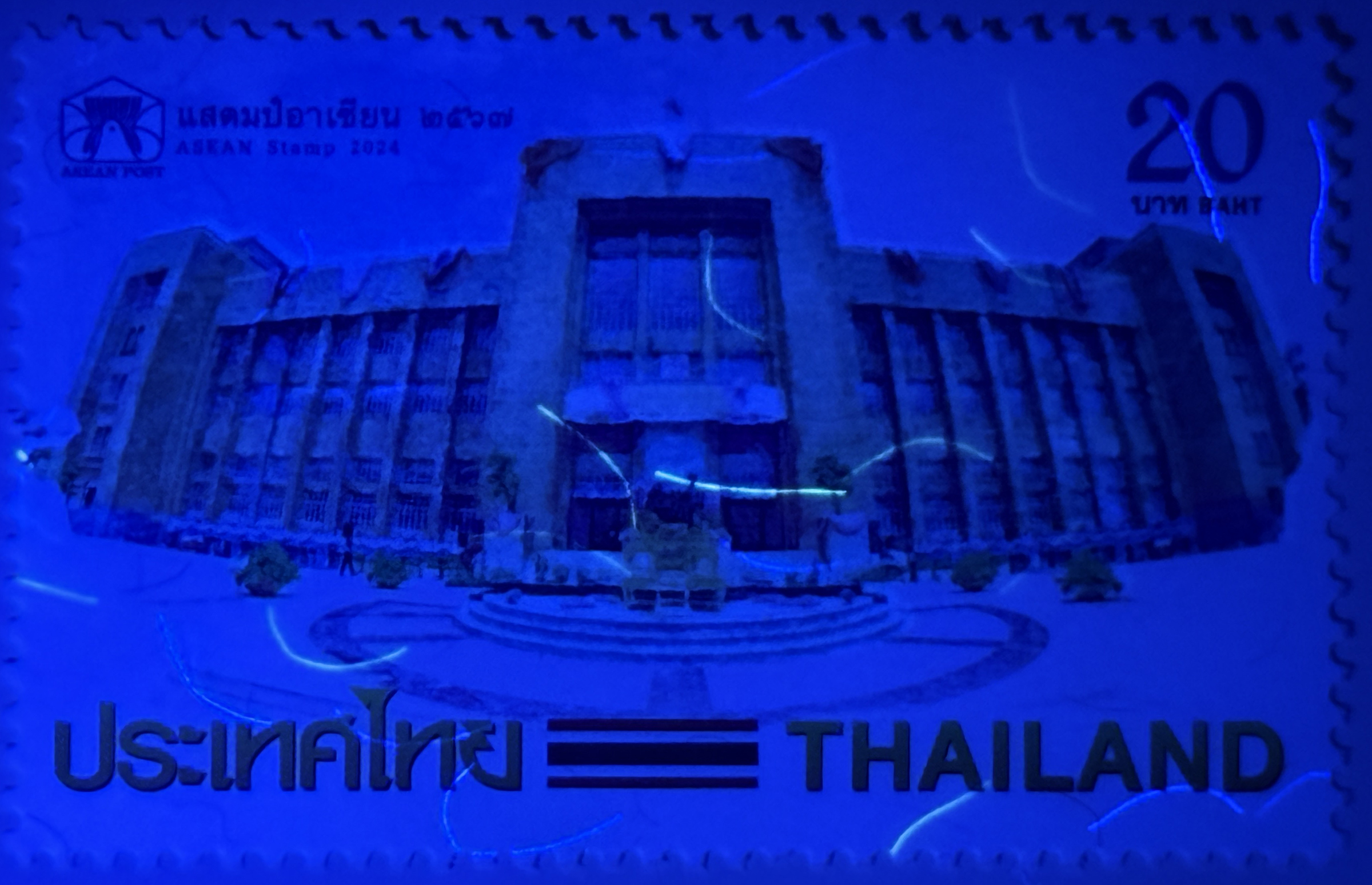
The next stop was at the Independence Palace (also called Reunification Palace) , a building that played a central role in the Viet Nam war. It was designed by architect Ngô Viết Thụ. Construction started in 1962 and it was completed by 1966. It was the home and workplace of the president of the Republic of Vietnam (South Vietnam).
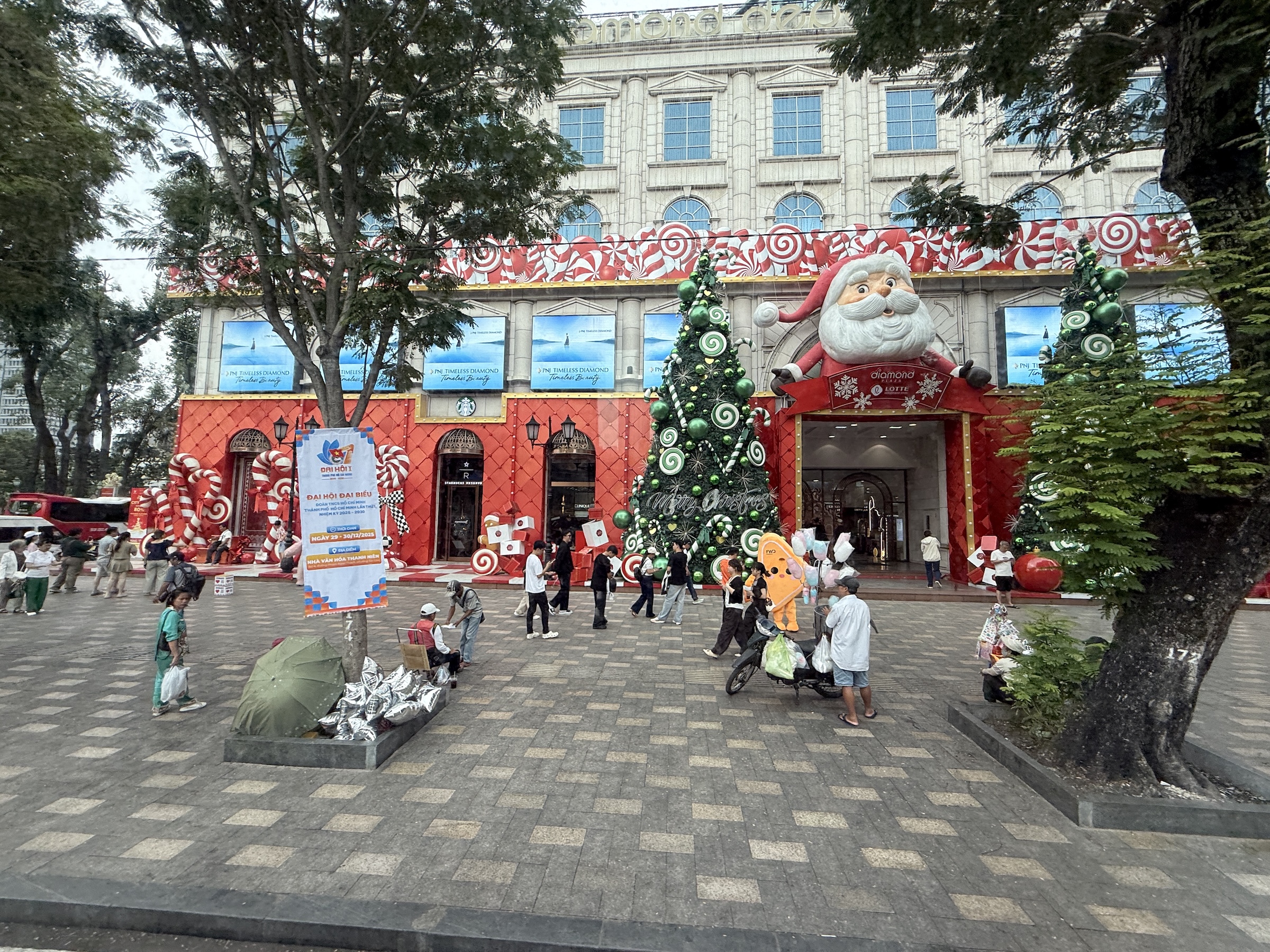
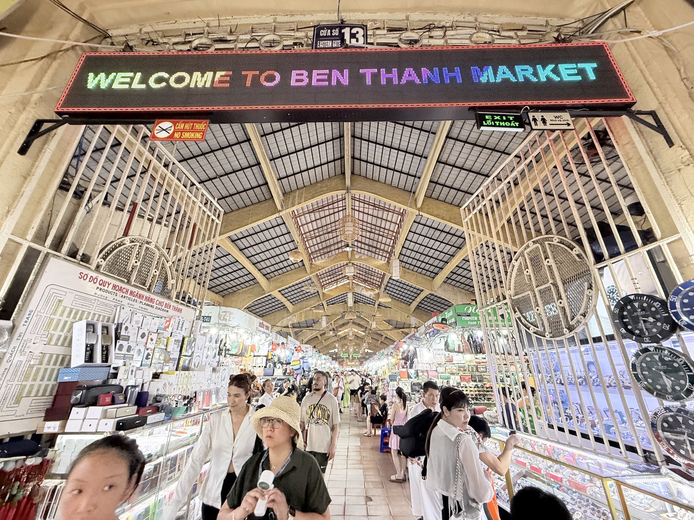
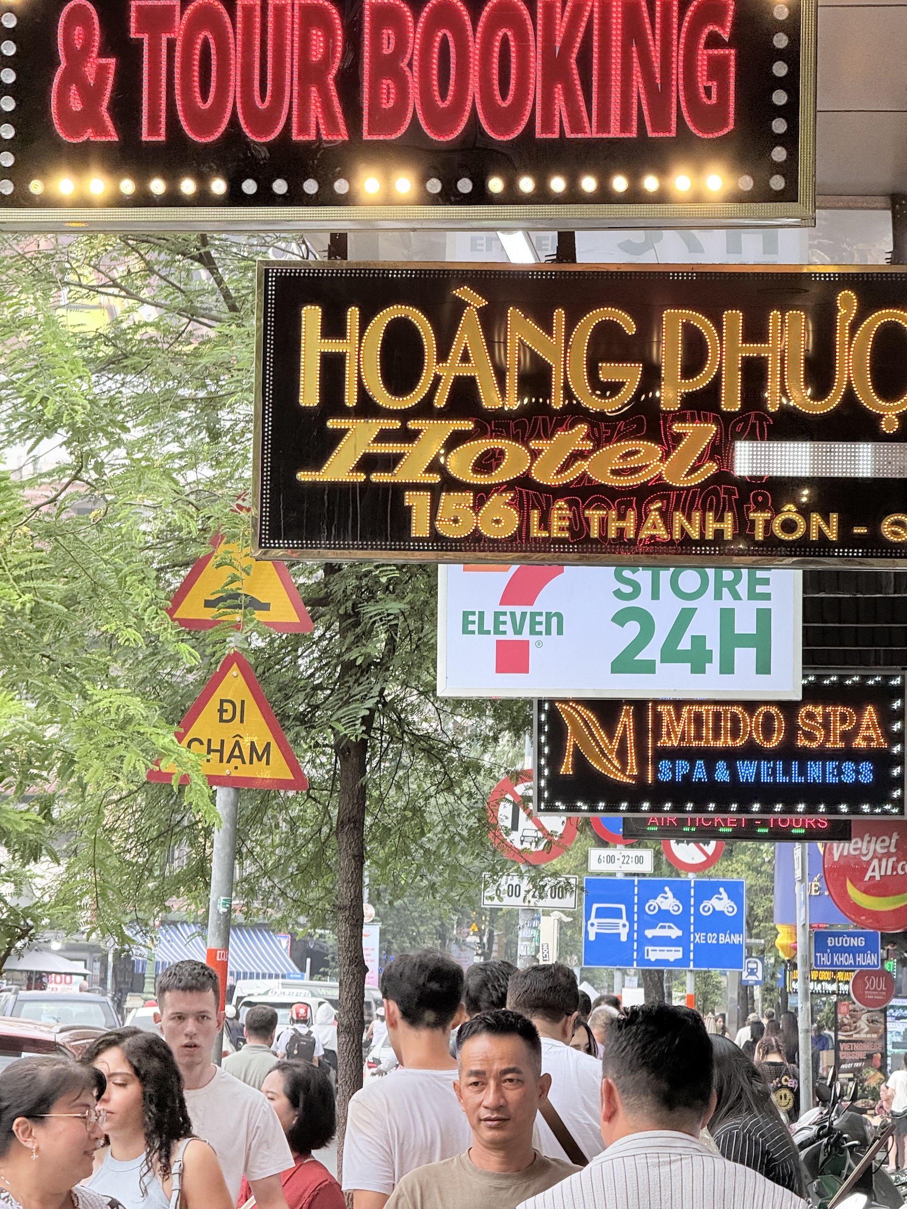
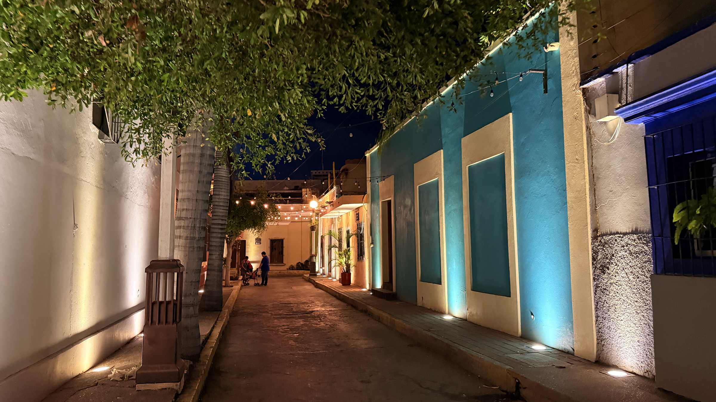
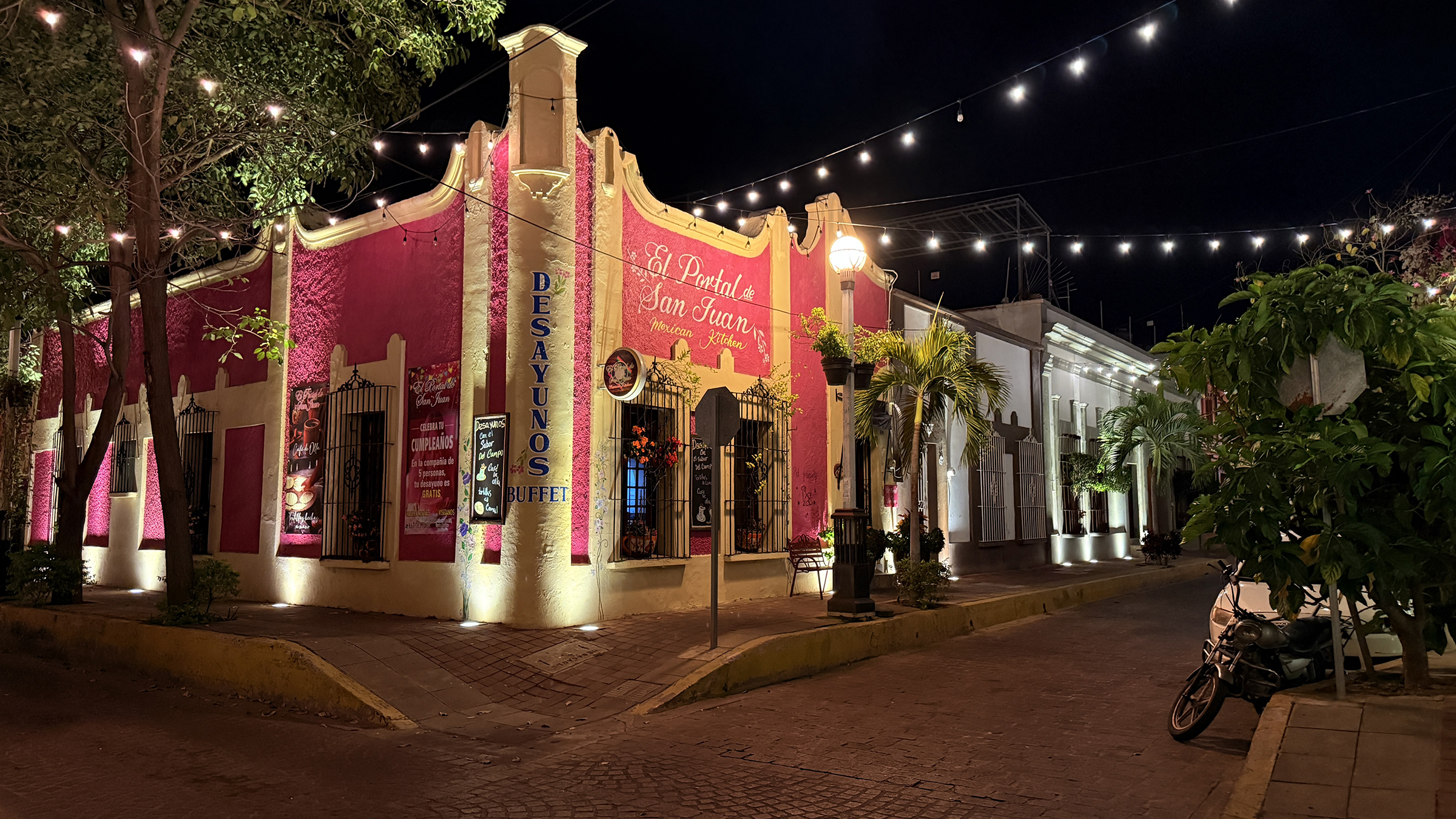
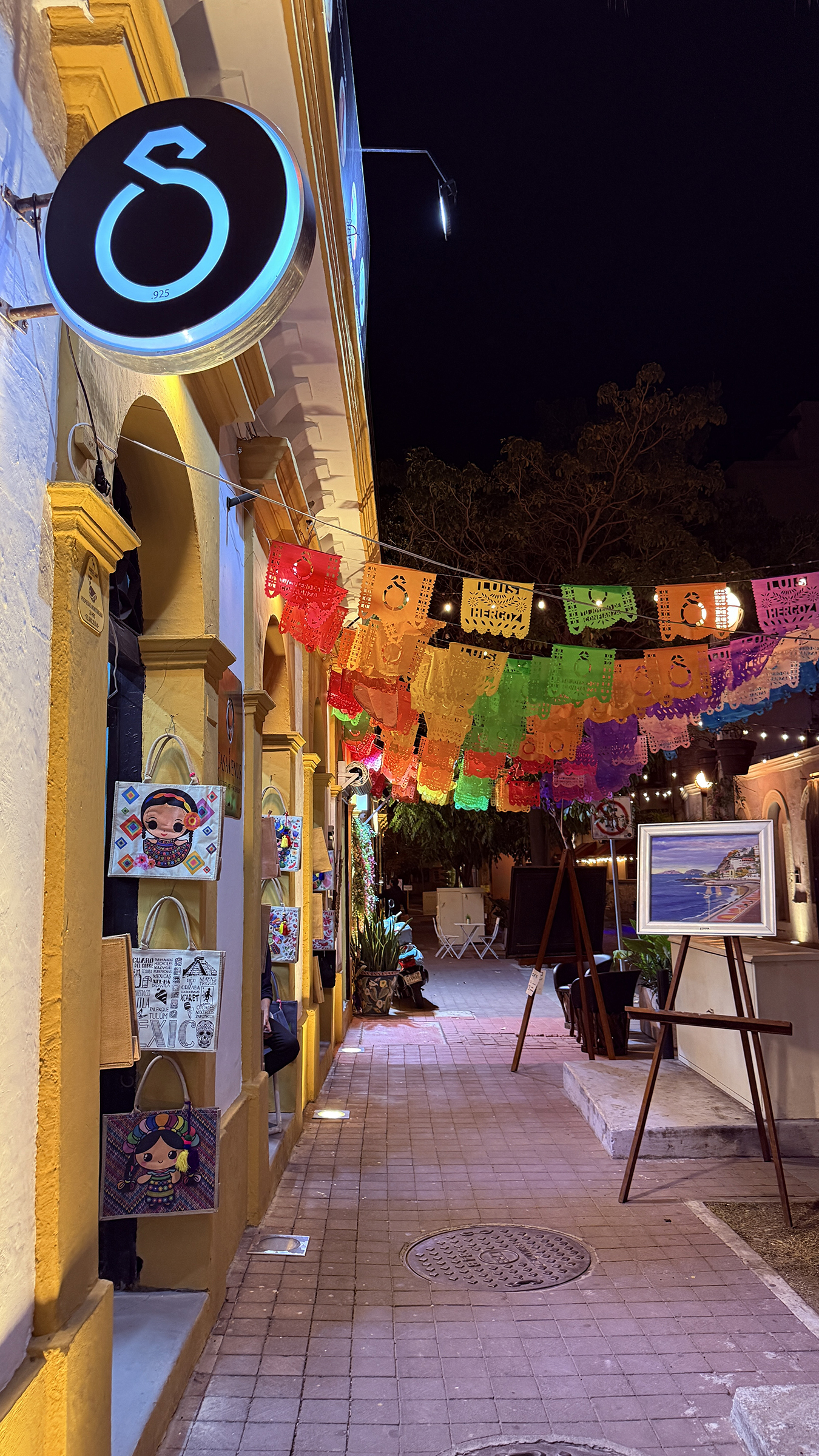
The final stop for the day was at Ben Thanh market.
It has some 1,500 booths inside and it was crowded, so I went outside and took a few pictures instead.