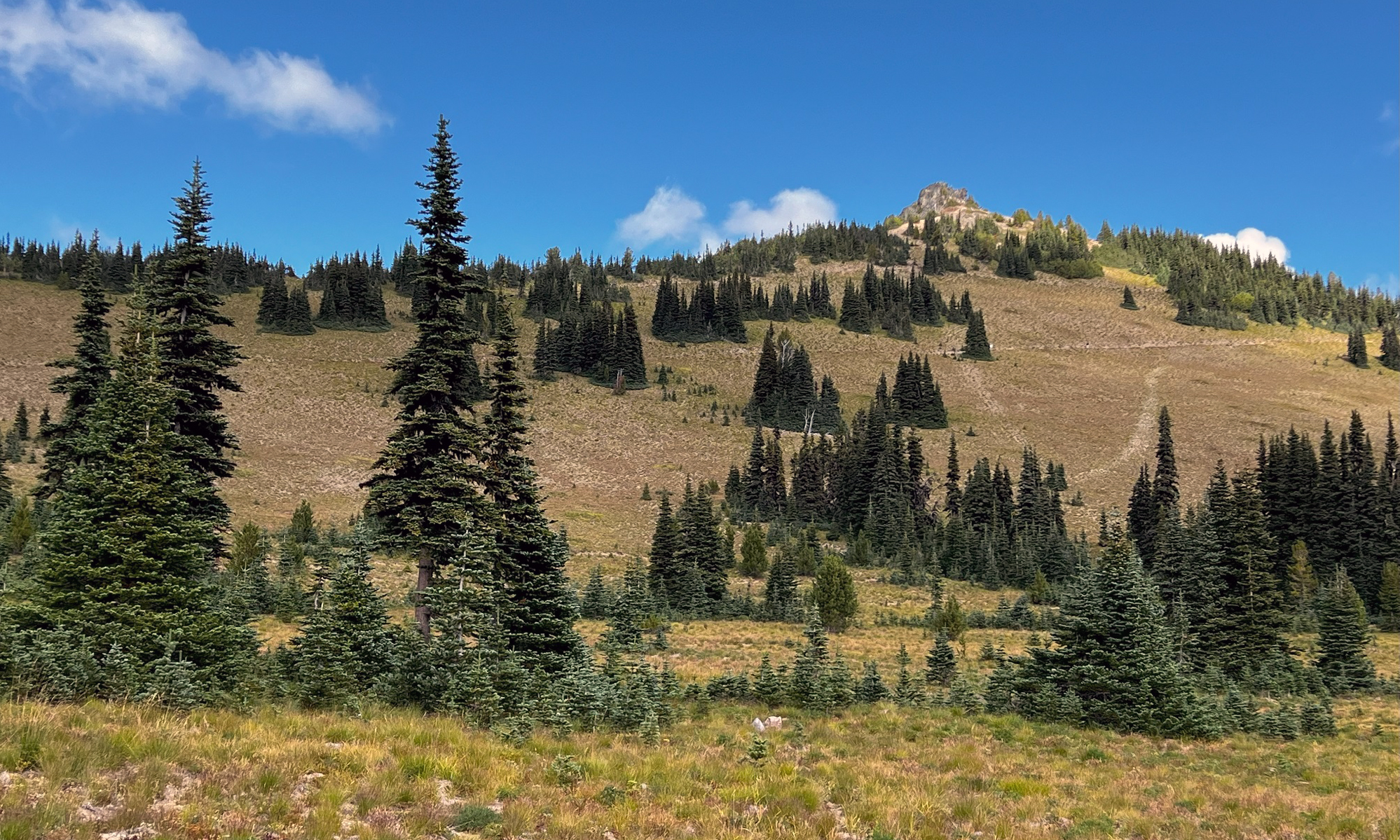
Saturday/ low on snow

We had relatively warm weather here the last week or so. A massive warmer-than-normal blob of water in the Pacific Ocean off the Washington coast may be to blame.

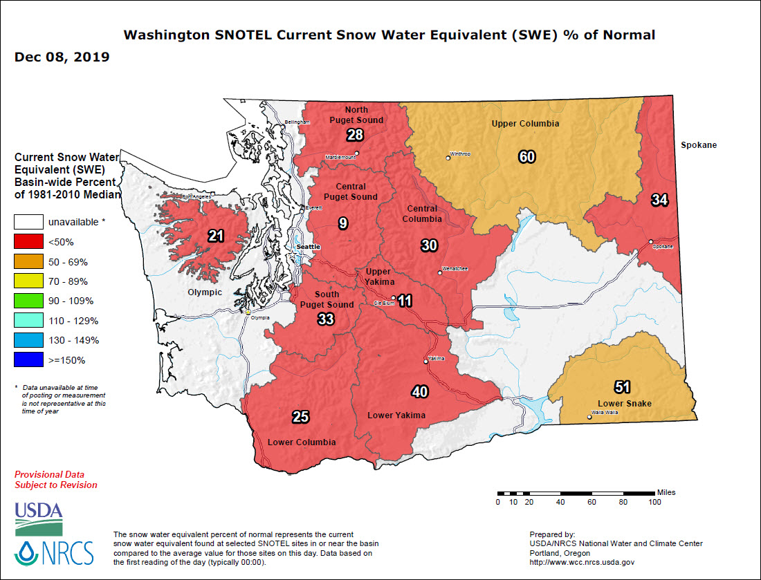
We also had the driest November in 40 years (only 1.71 in. of rain at Sea-Tac Airport, 26% of the average). That also means that the snowpack levels on the mountains in Washington State are lagging far behind the normal levels for this time of the year.
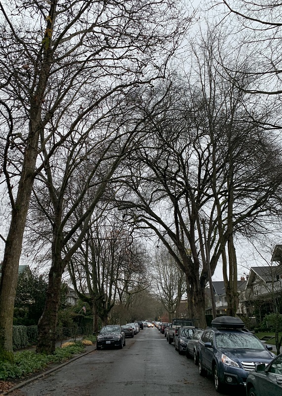
The leaves are all gone now – the scene on 20th Ave here on Capitol Hill on Saturday afternoon. It was definitely warm enough to go for a walk: 49°F/ 9.5°C.
The Washington State Snow Telemetry (SNOTEL) report of Dec 8 shows the snowpacks lagging far behind their normal levels. I guess there is still time to make up the difference.

Leave a Reply

Your email address will not be published. Required fields are marked *