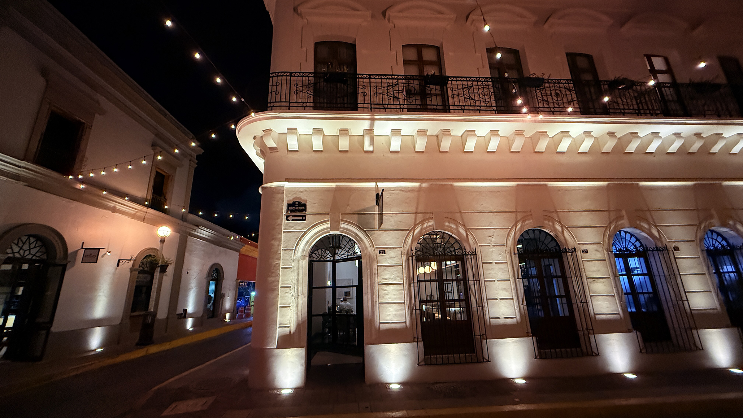
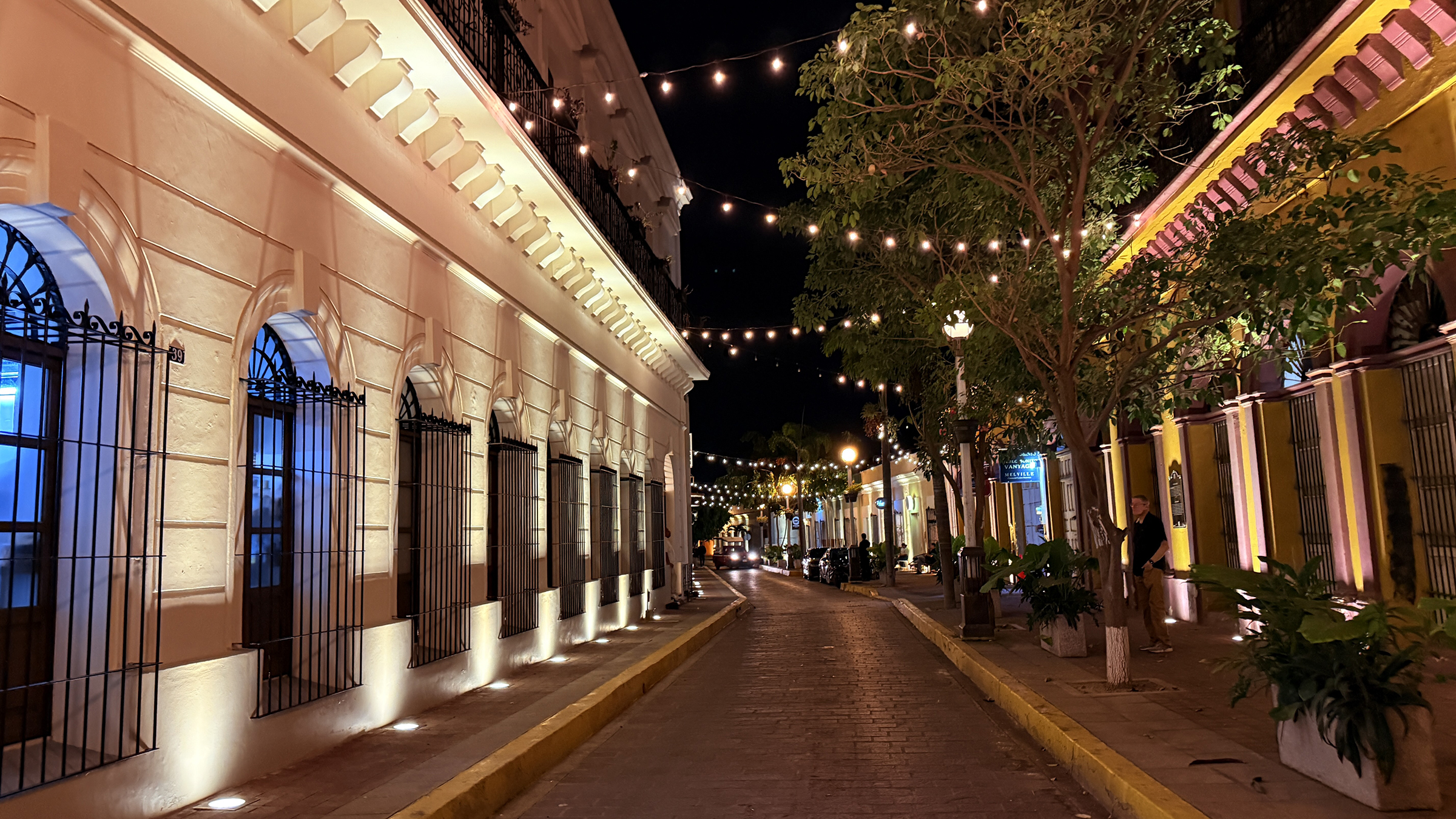
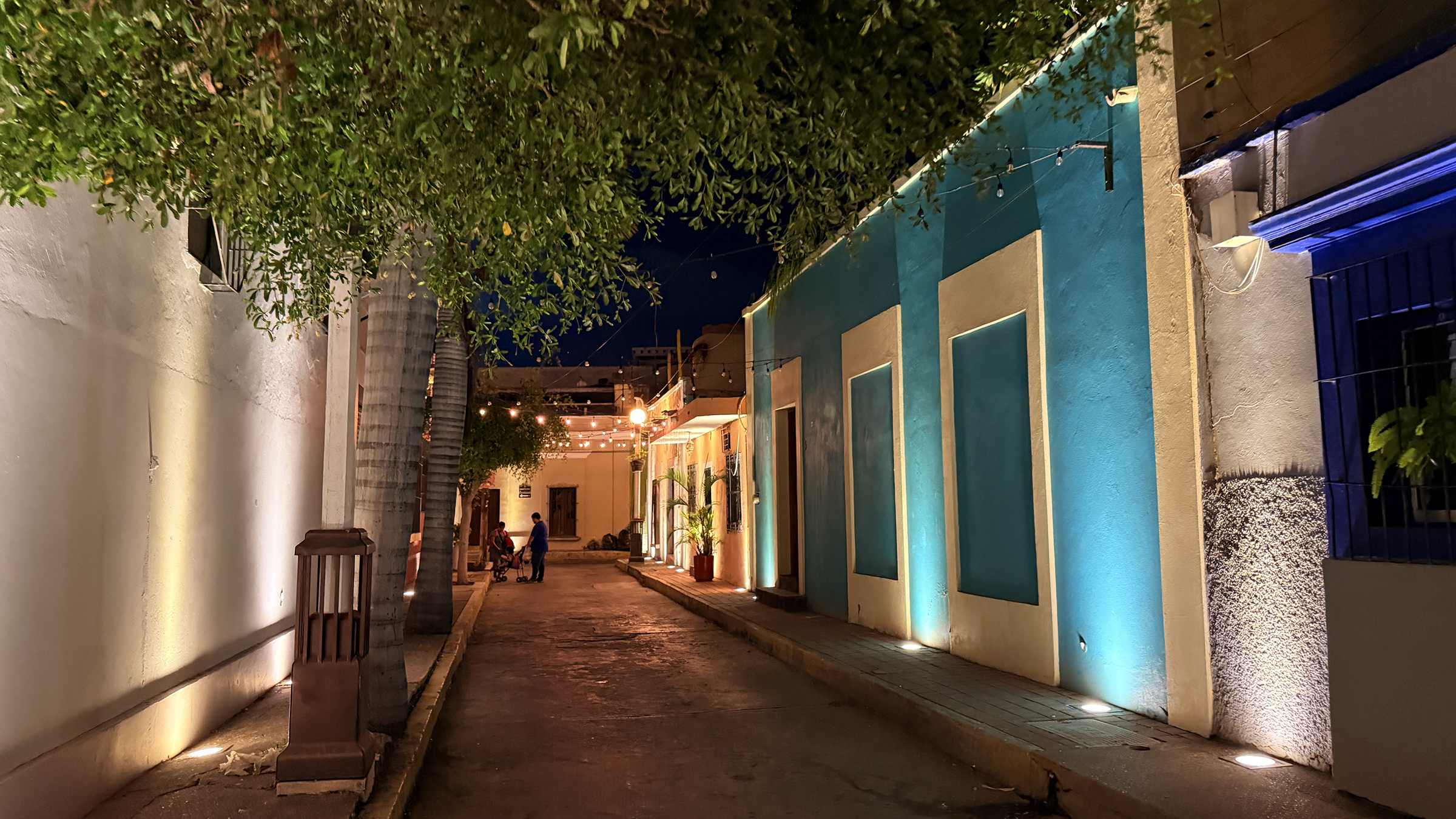
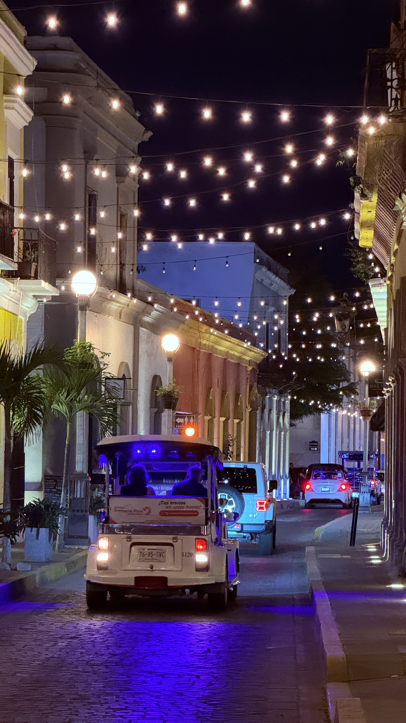
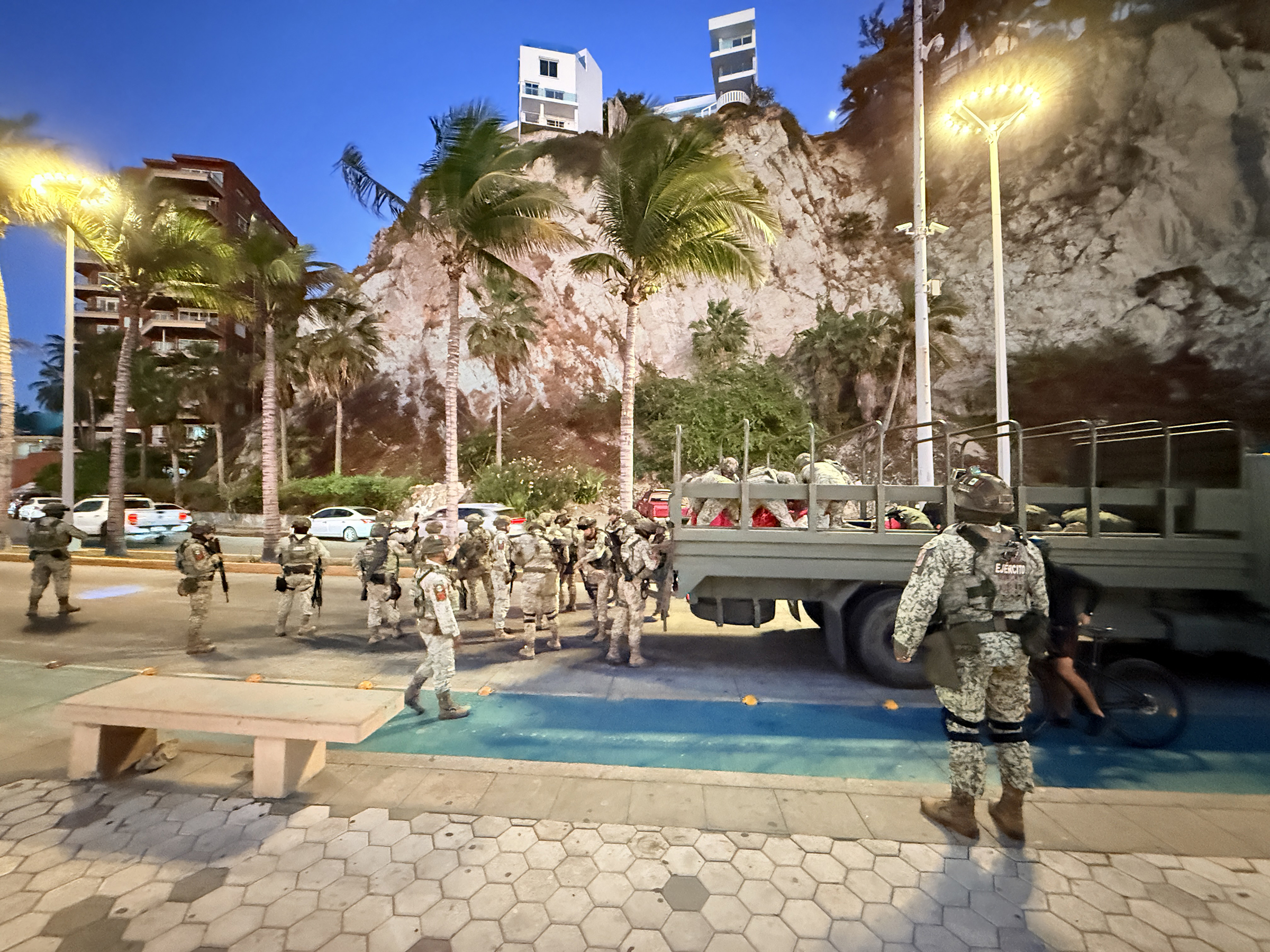
Here are some night time pictures of the beautiful historical center of Mazatlán.
a weblog of whereabouts & interests, since 2010
Here are some night time pictures of the beautiful historical center of Mazatlán.
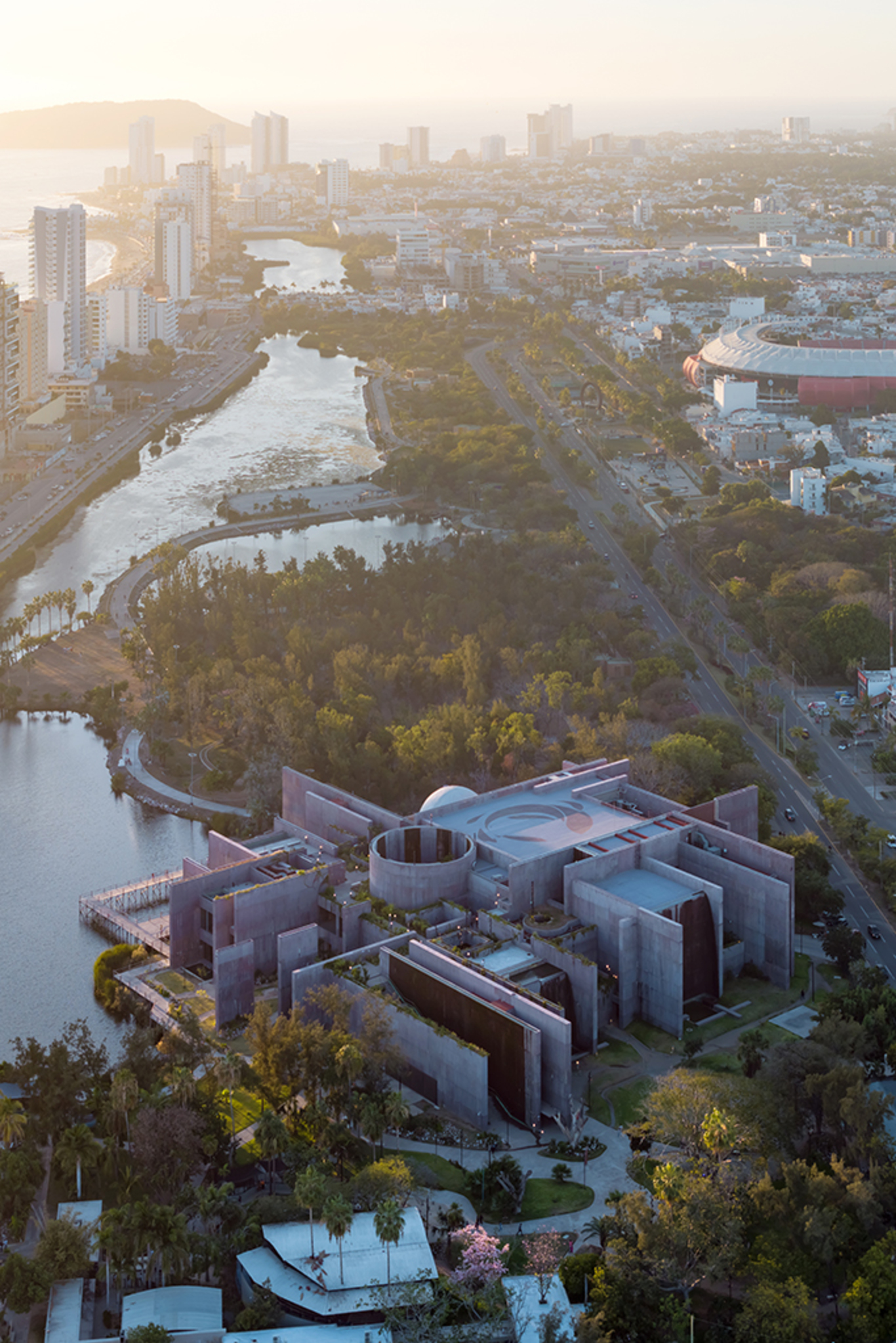
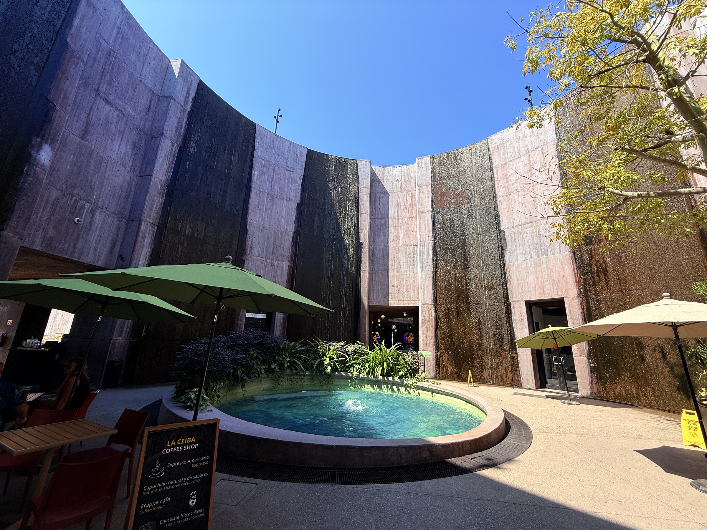
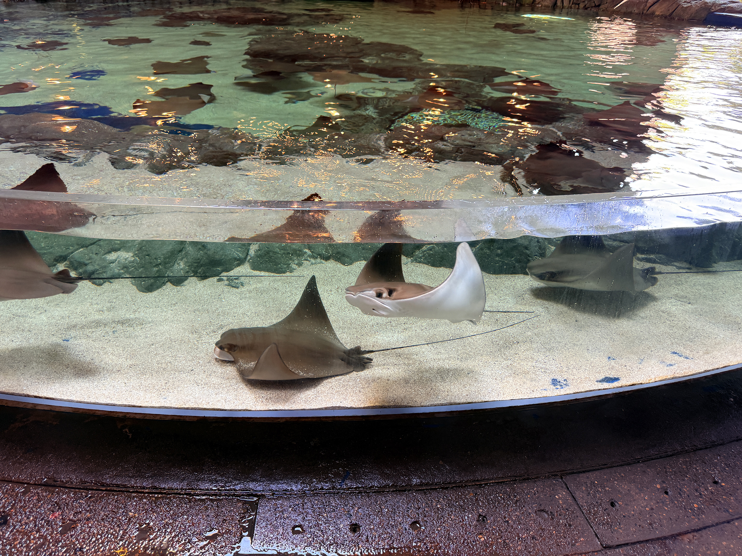
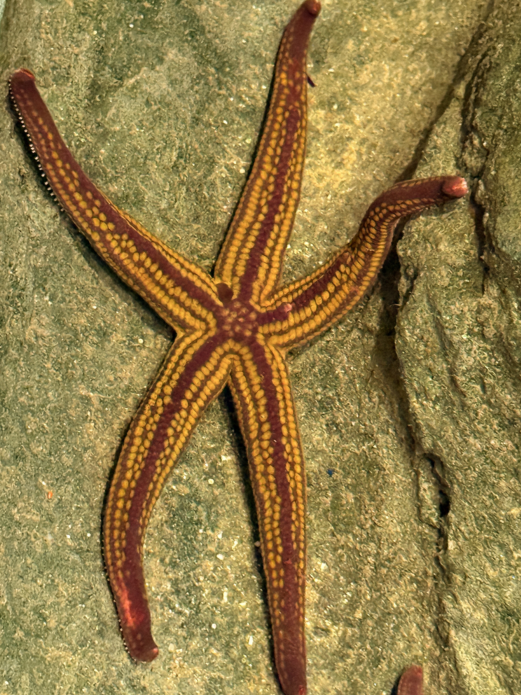
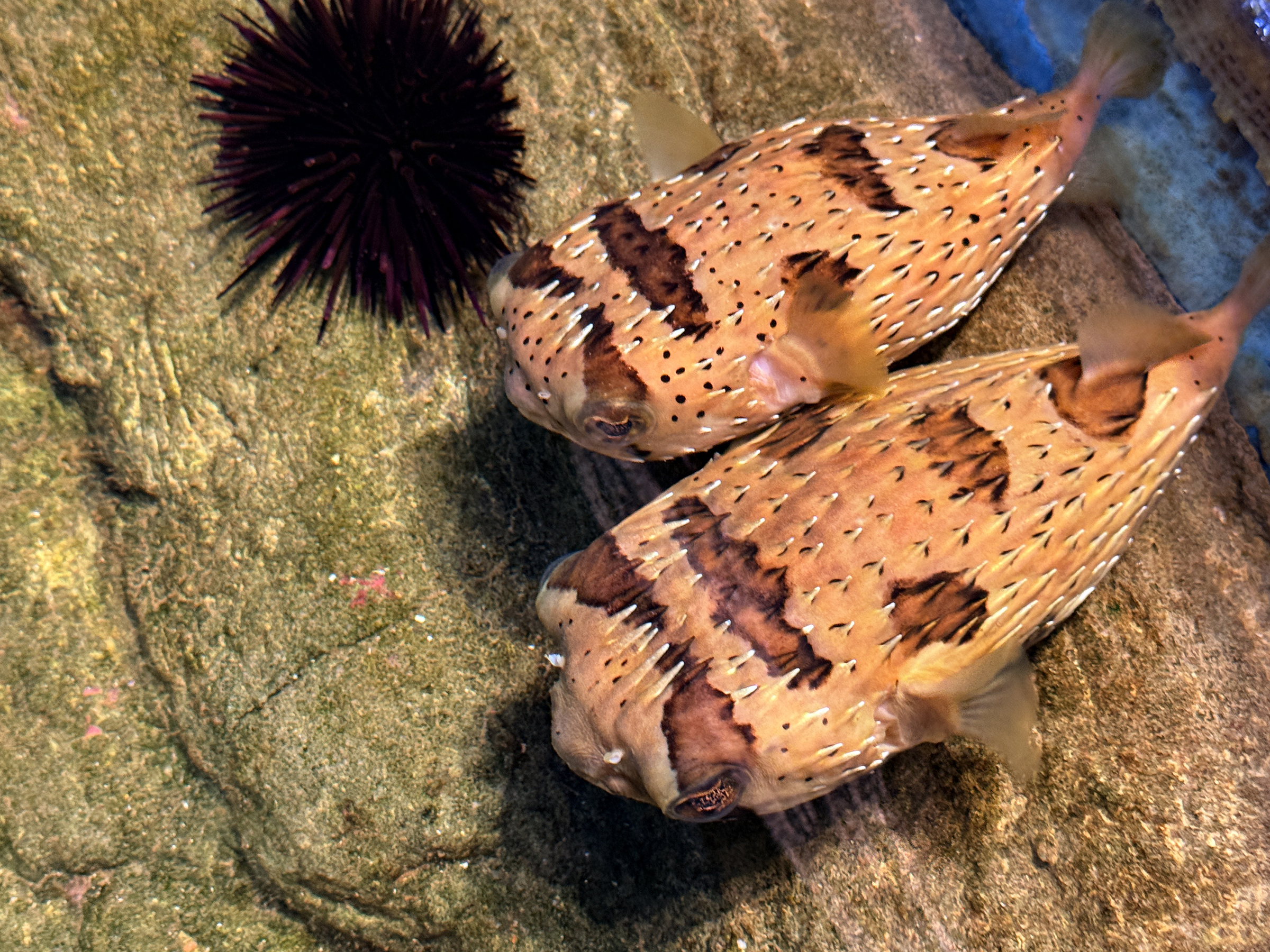
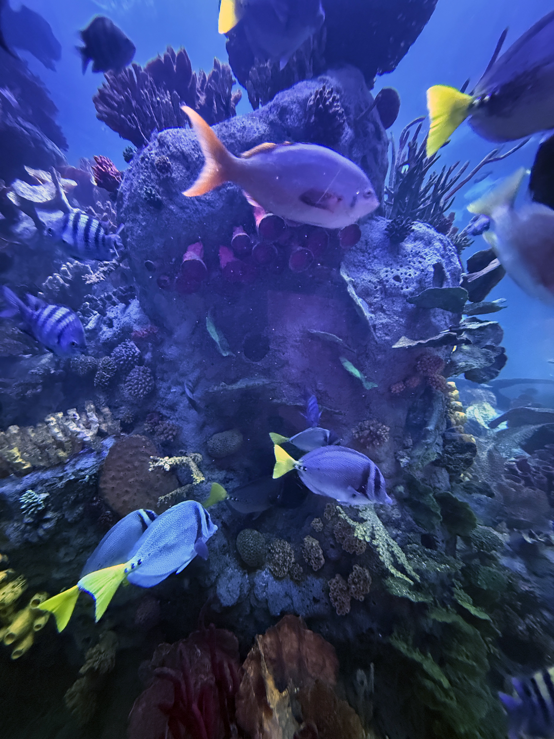
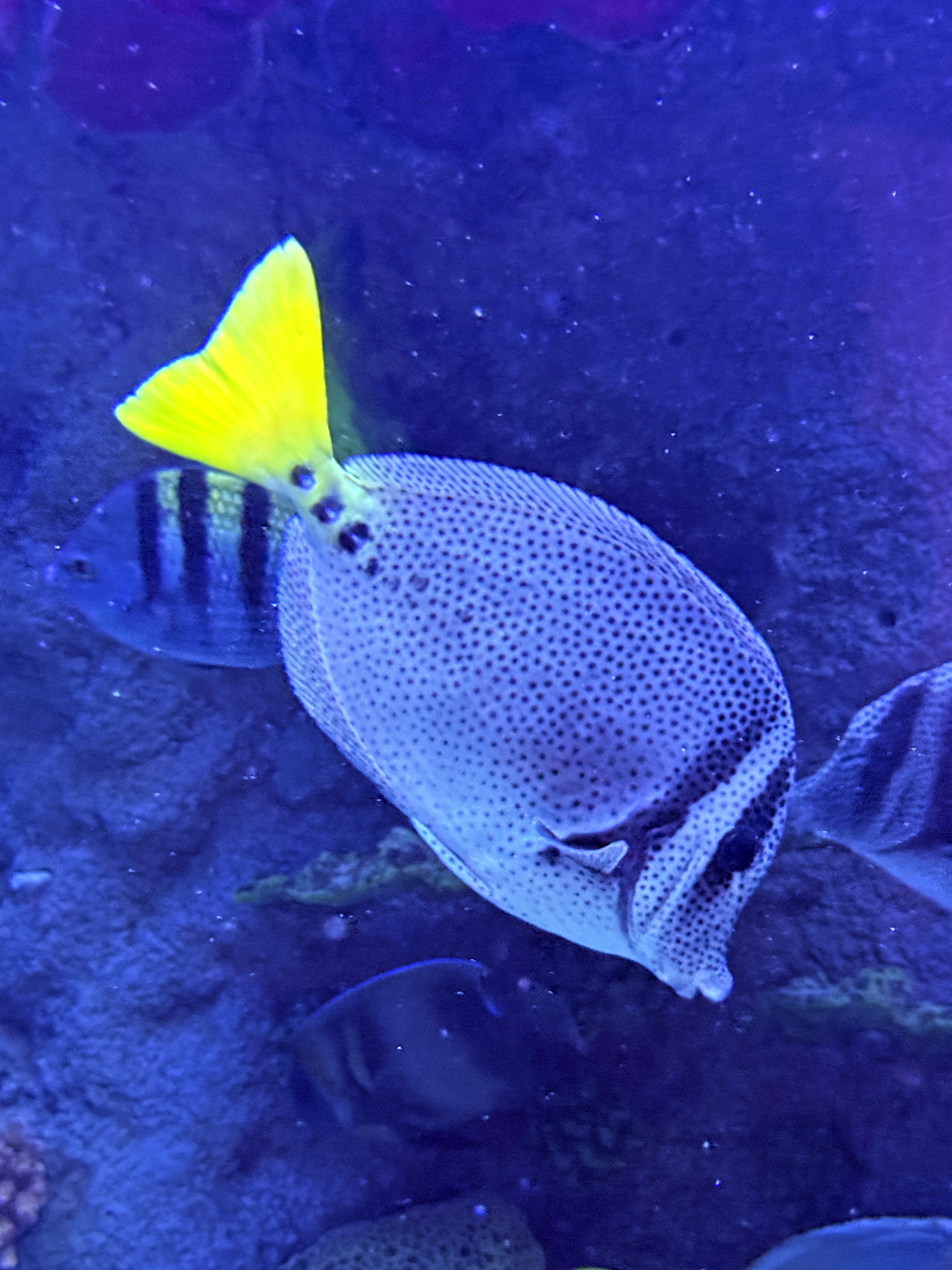
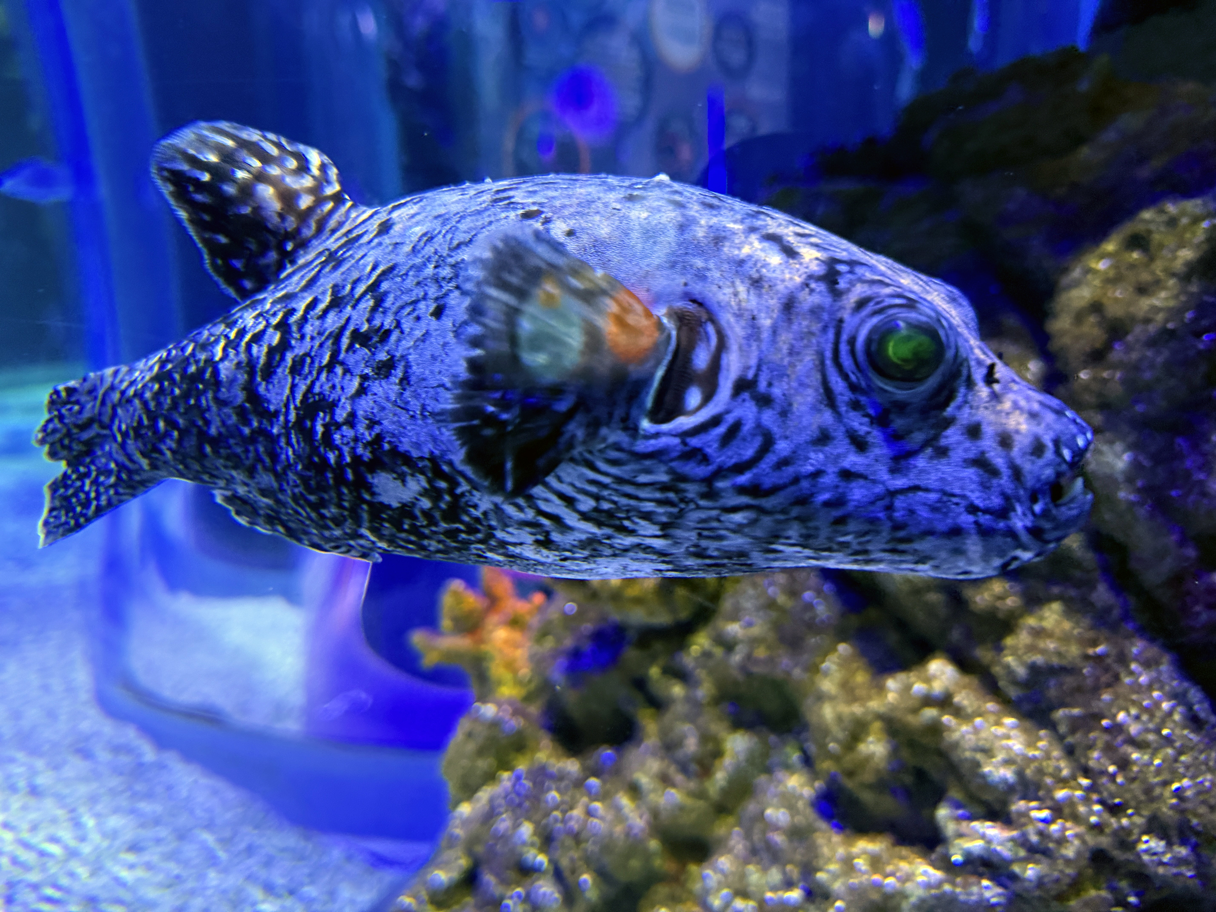
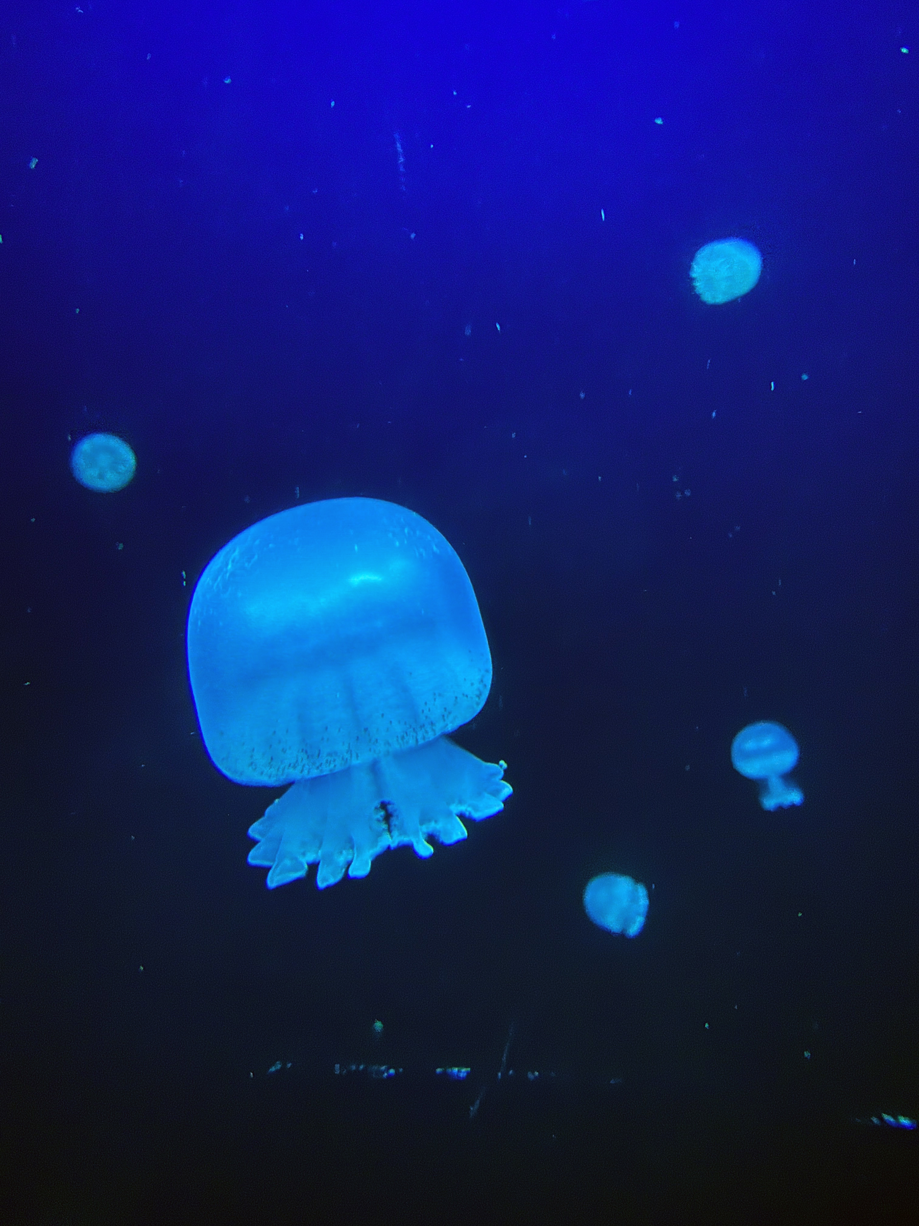
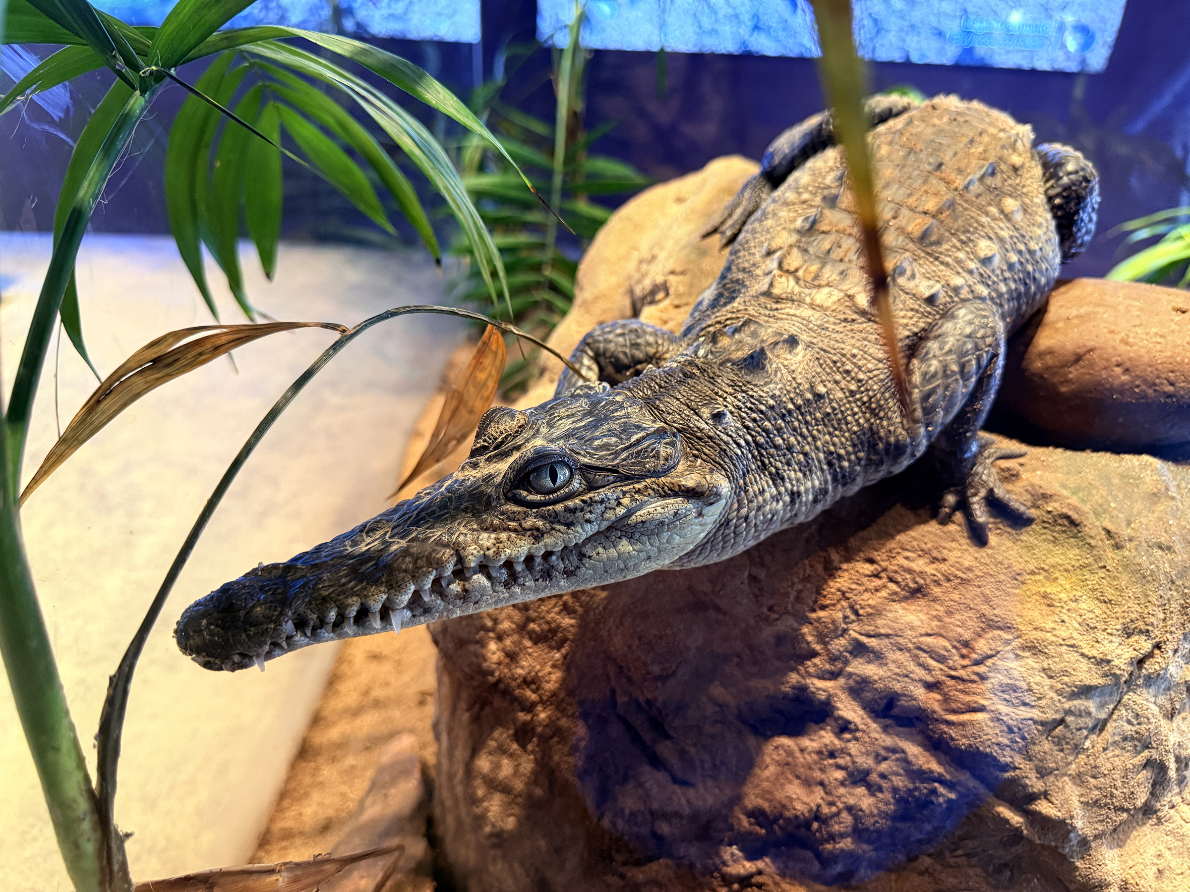
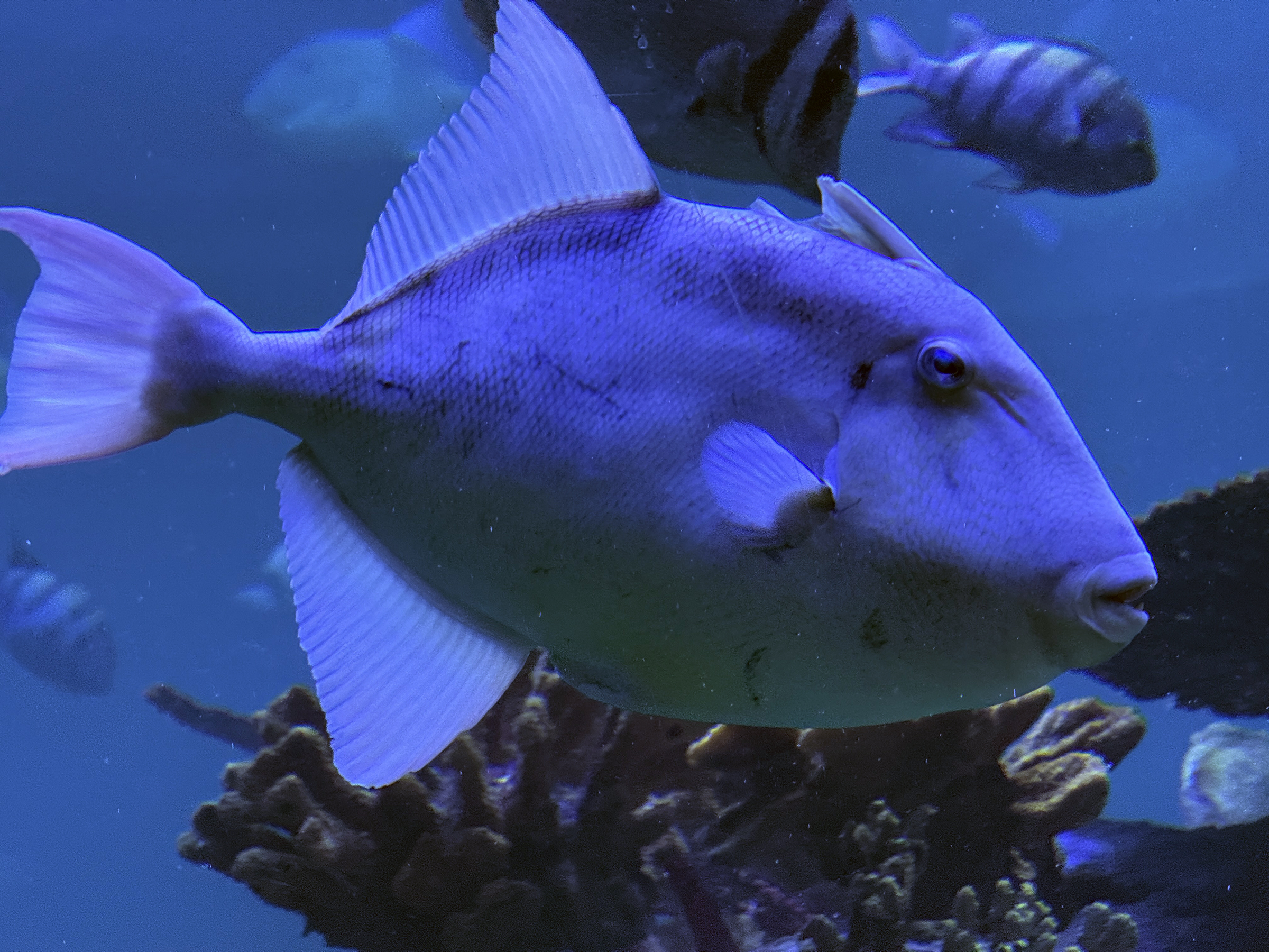
The Gran Acuario Mazatlán hosts over 250 species of fish. It is the is the largest aquarium in Latin America.
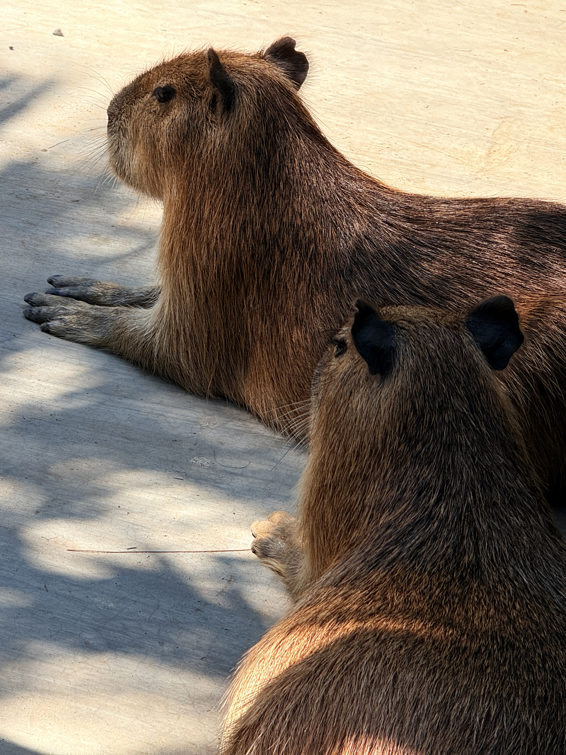
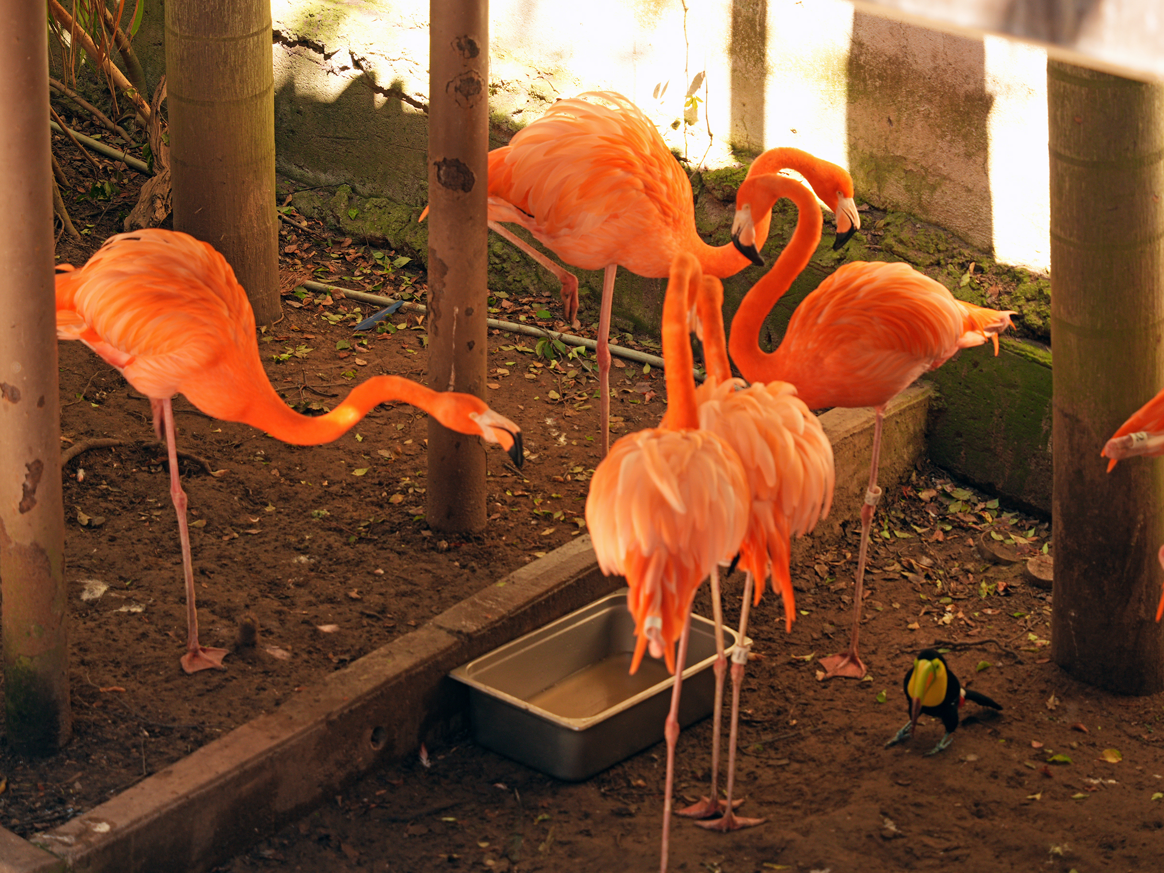
It contains a marine museum, the Gulf of Mexico Oceanic Fish Tank, a walk-through aviary, a boardwalk along the lagoon outside, crocodile exhibits, and a capybara petting area. The penguin area and flamingo area are currently closed.

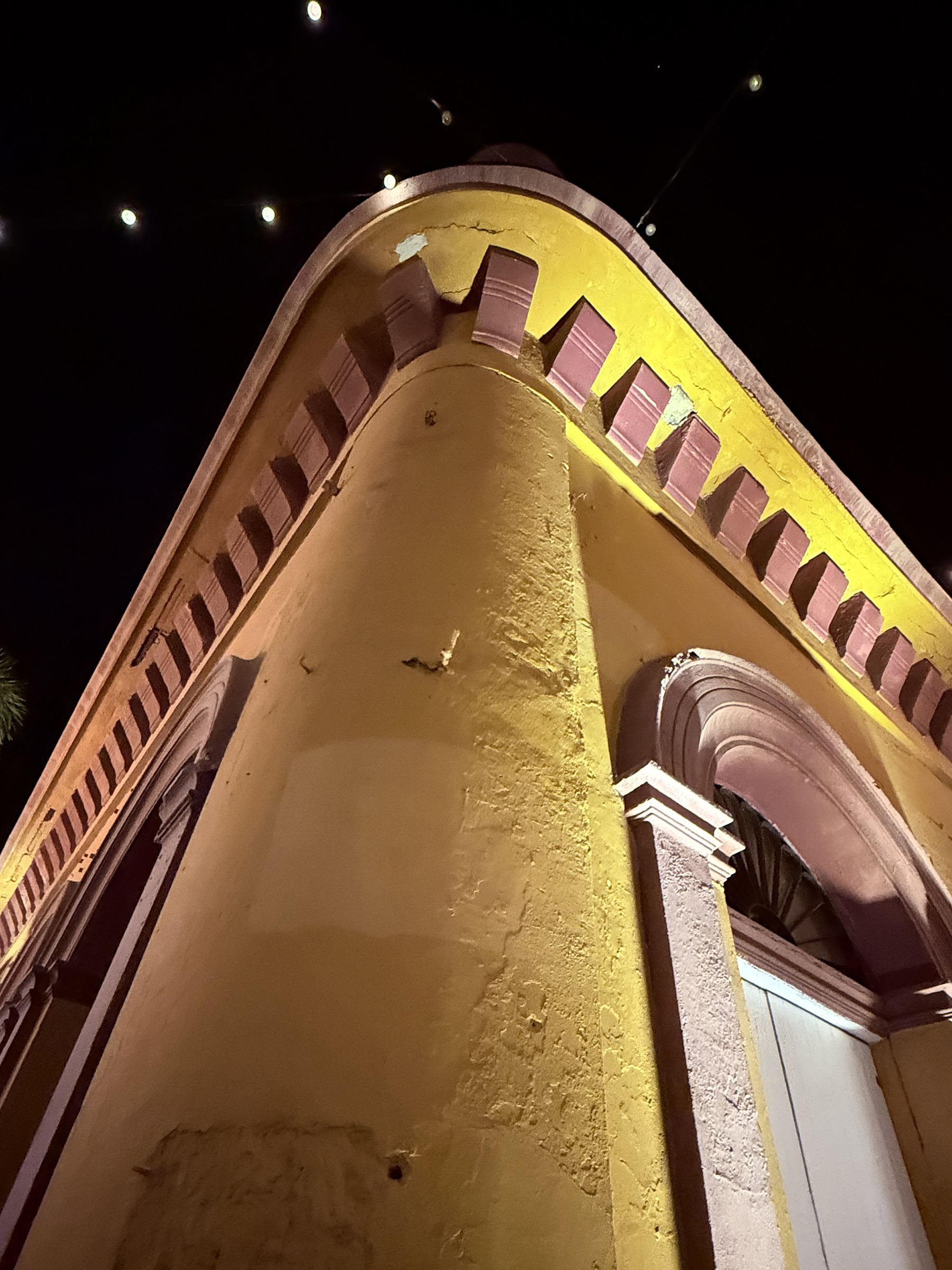
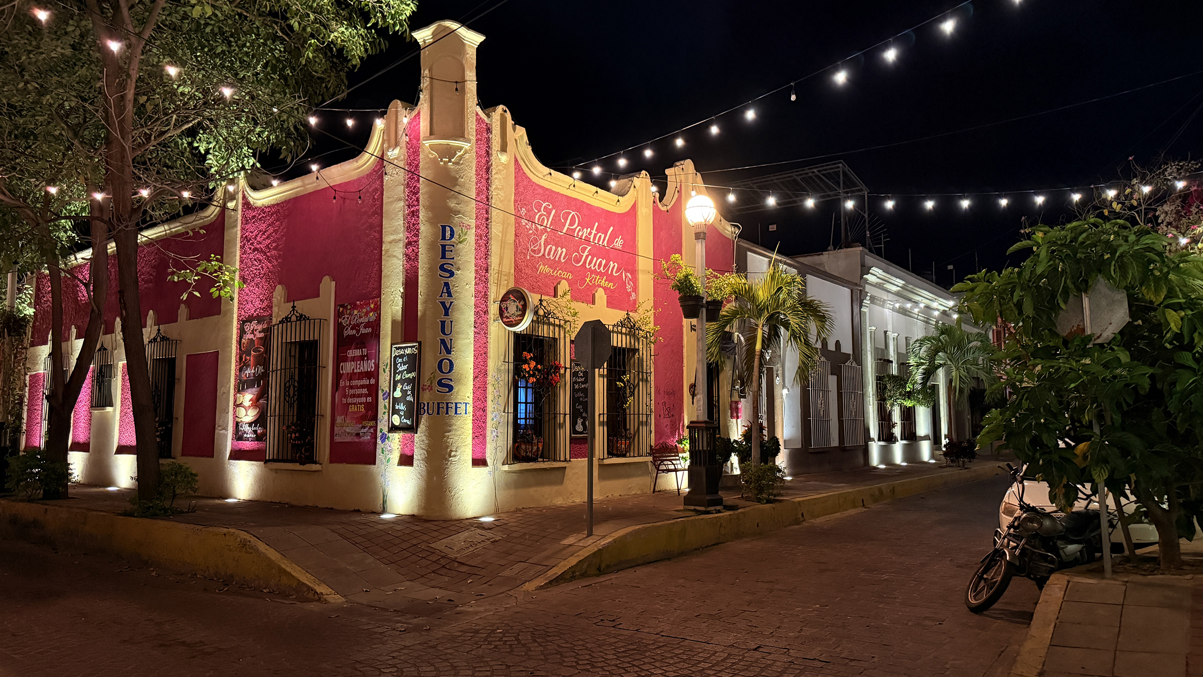
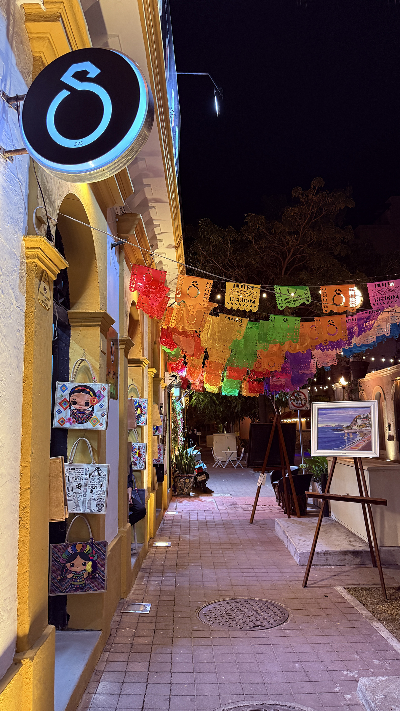
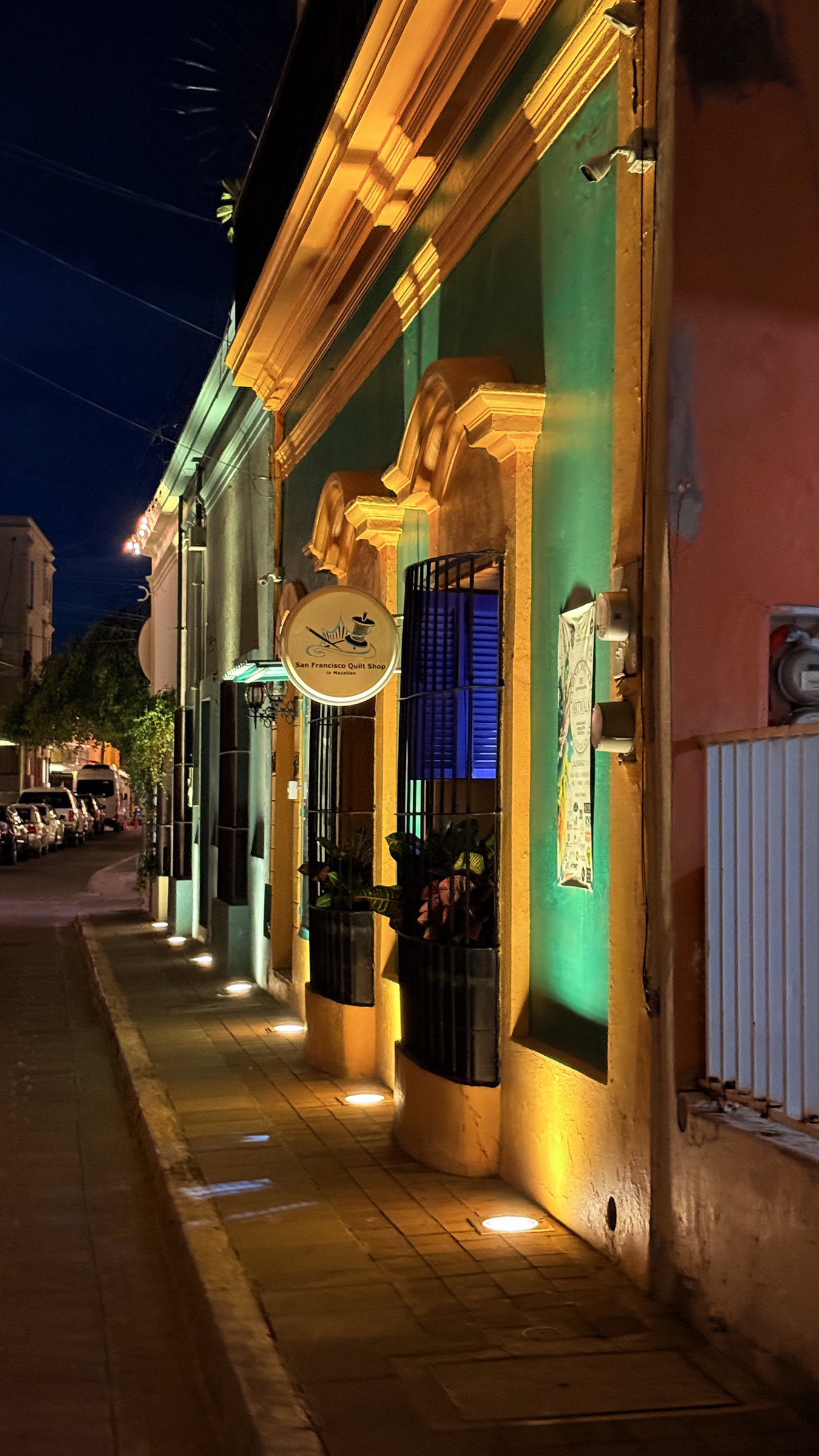
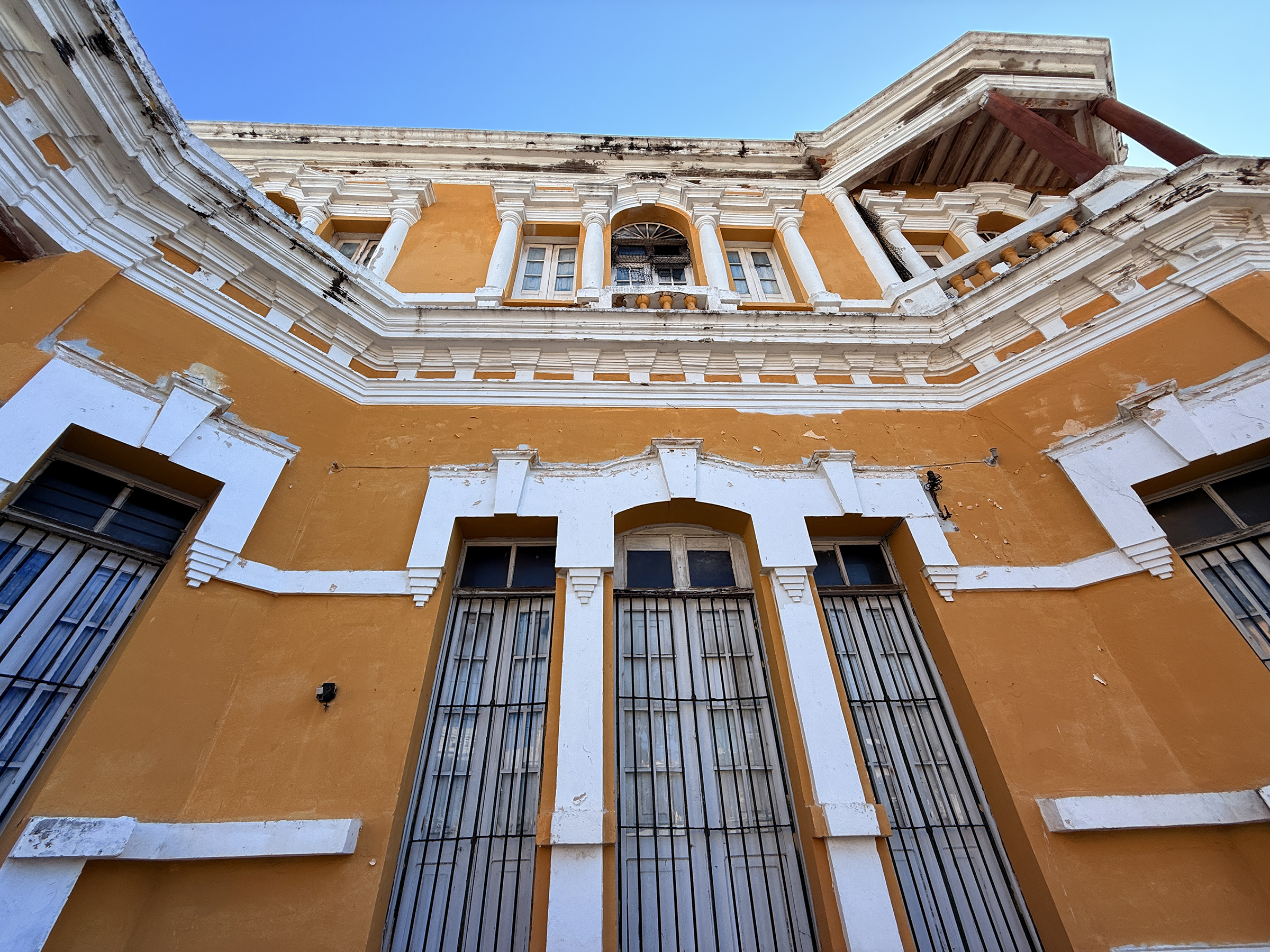
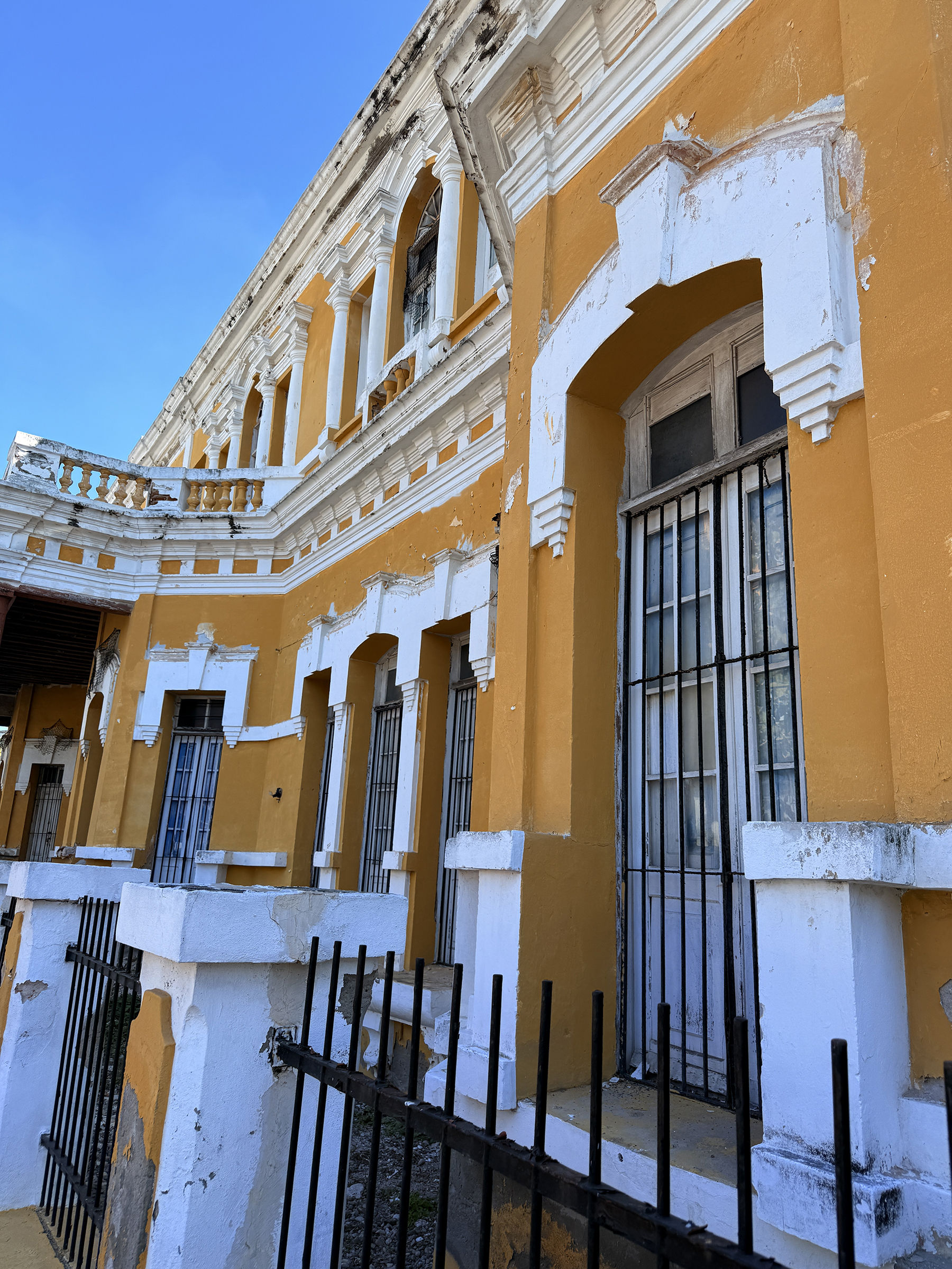
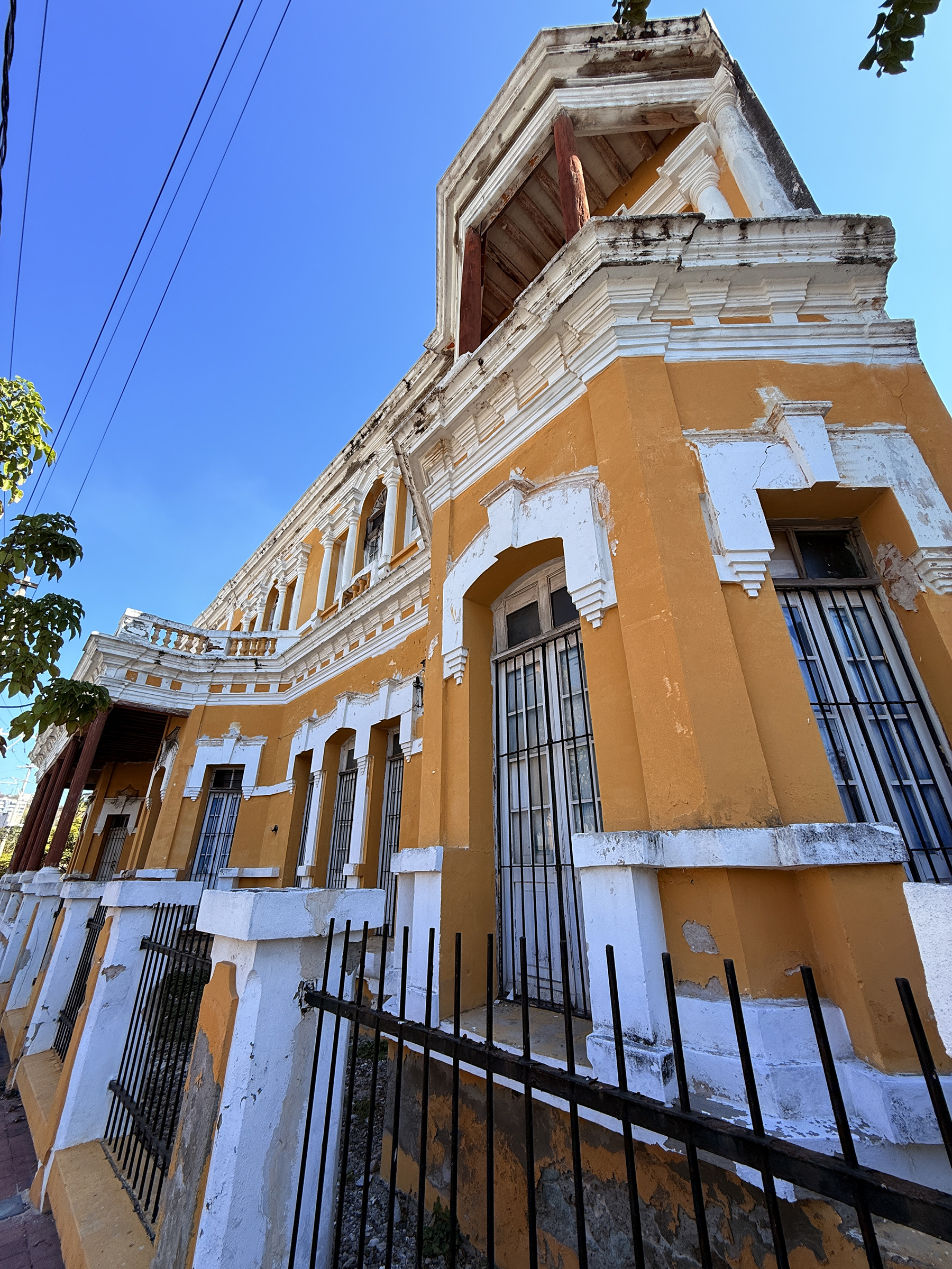
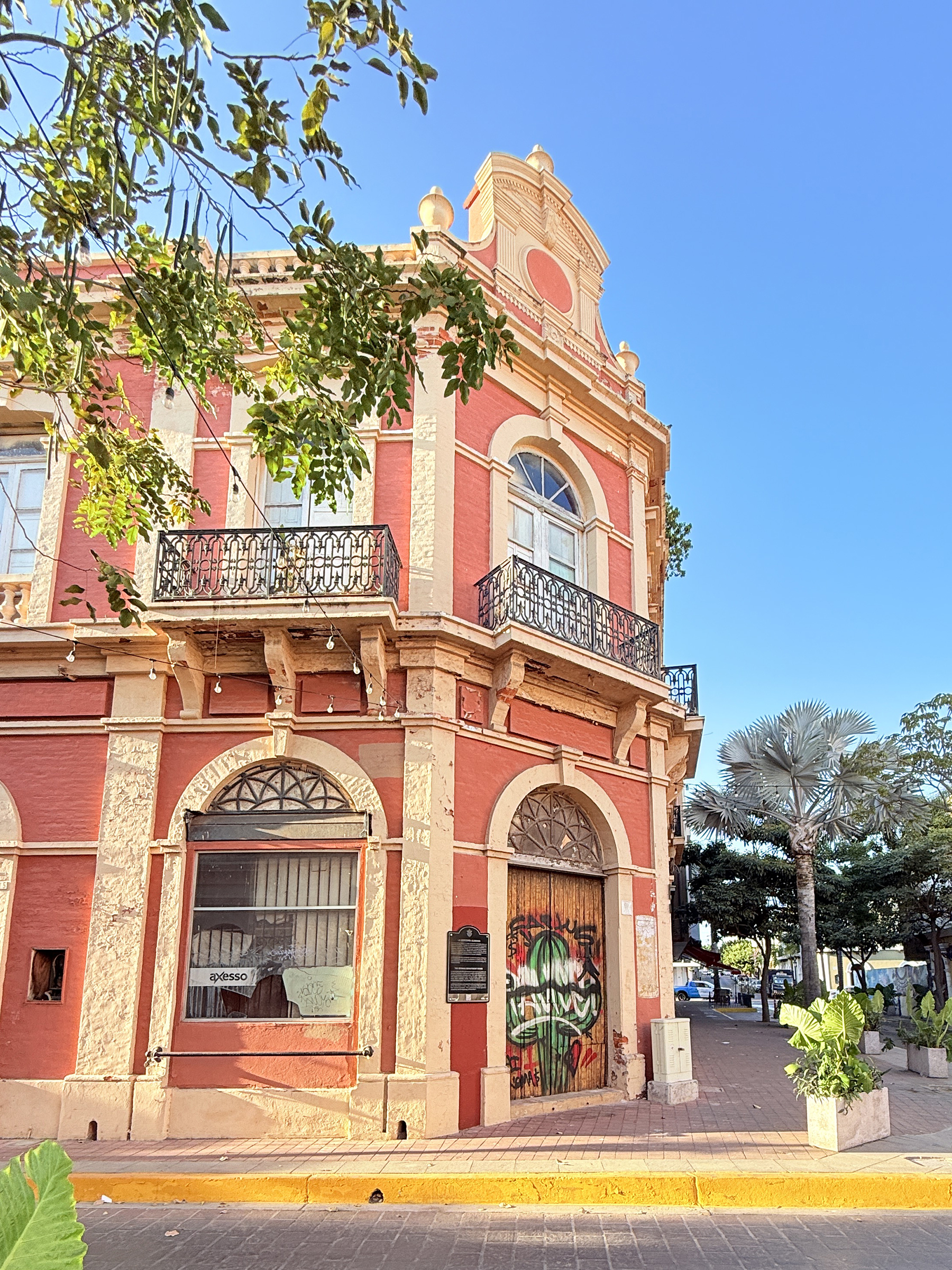
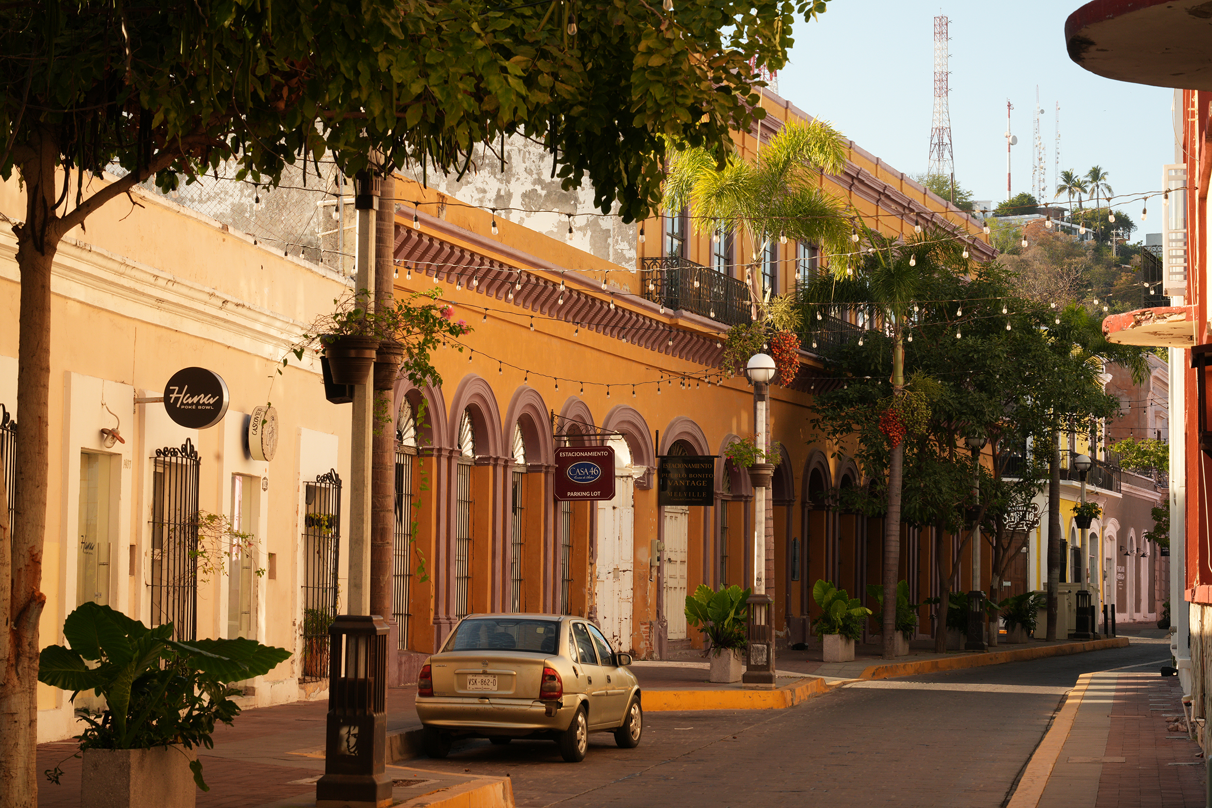
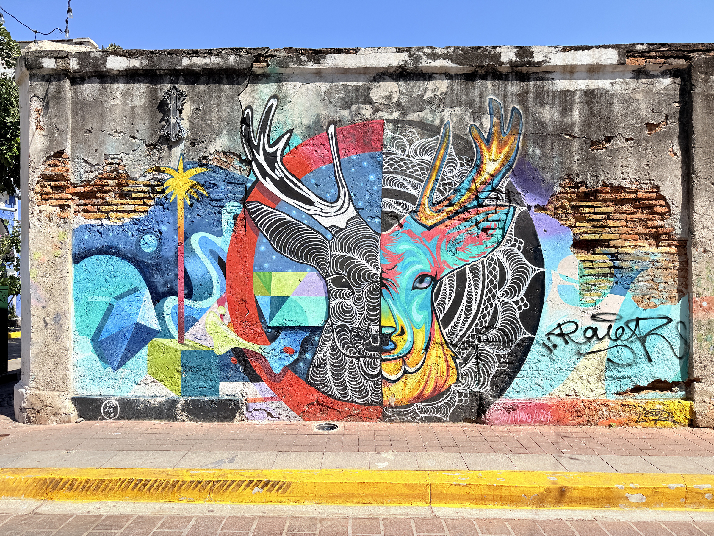
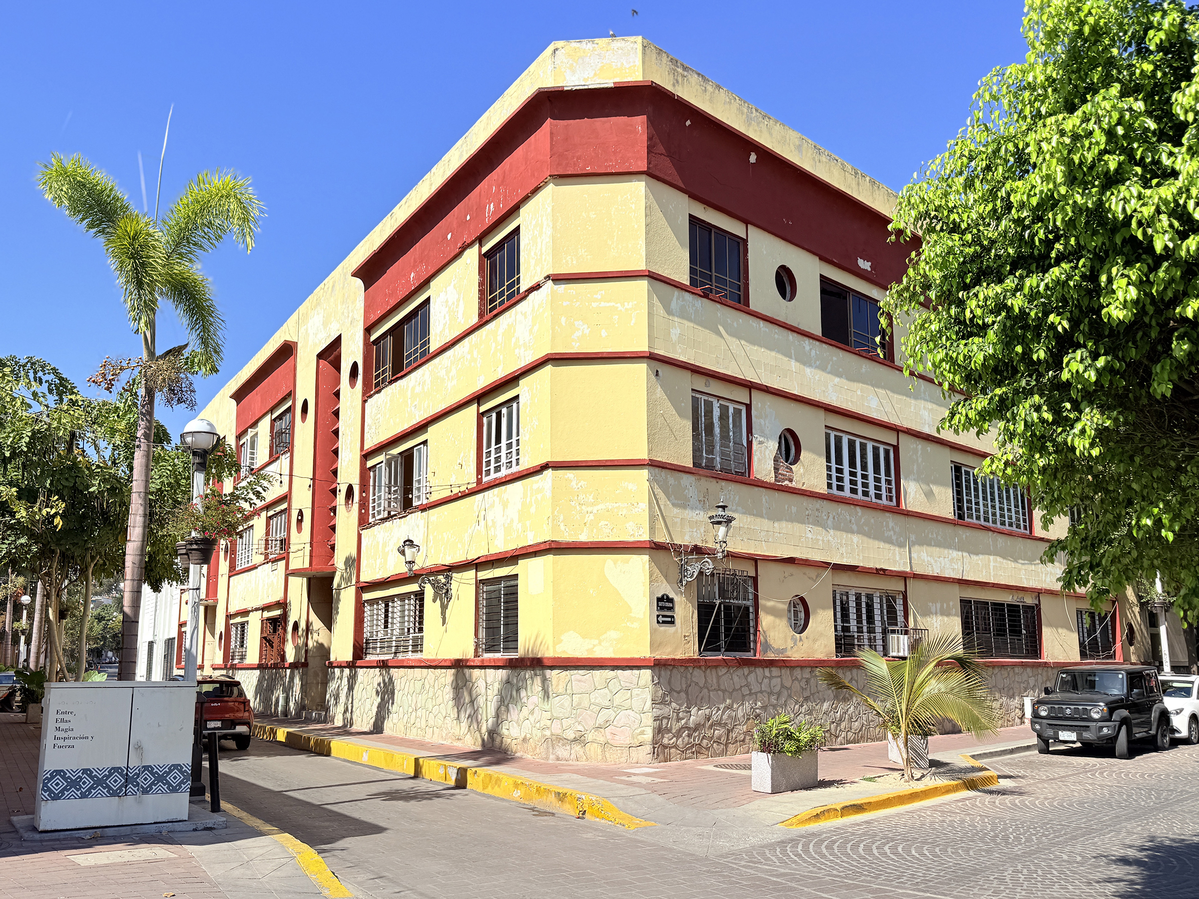
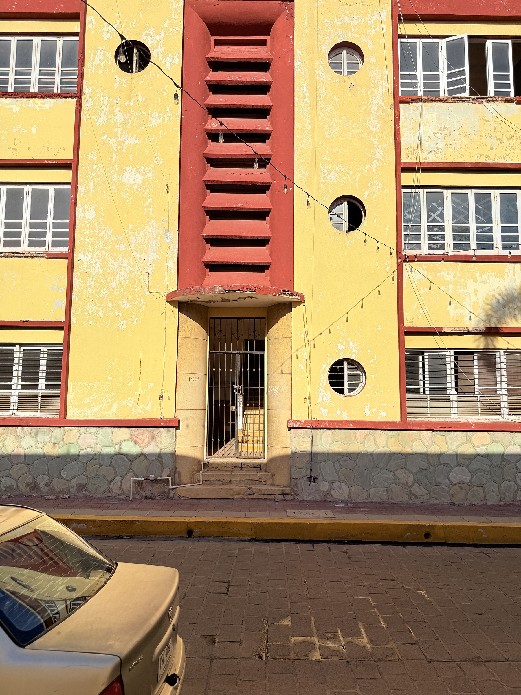
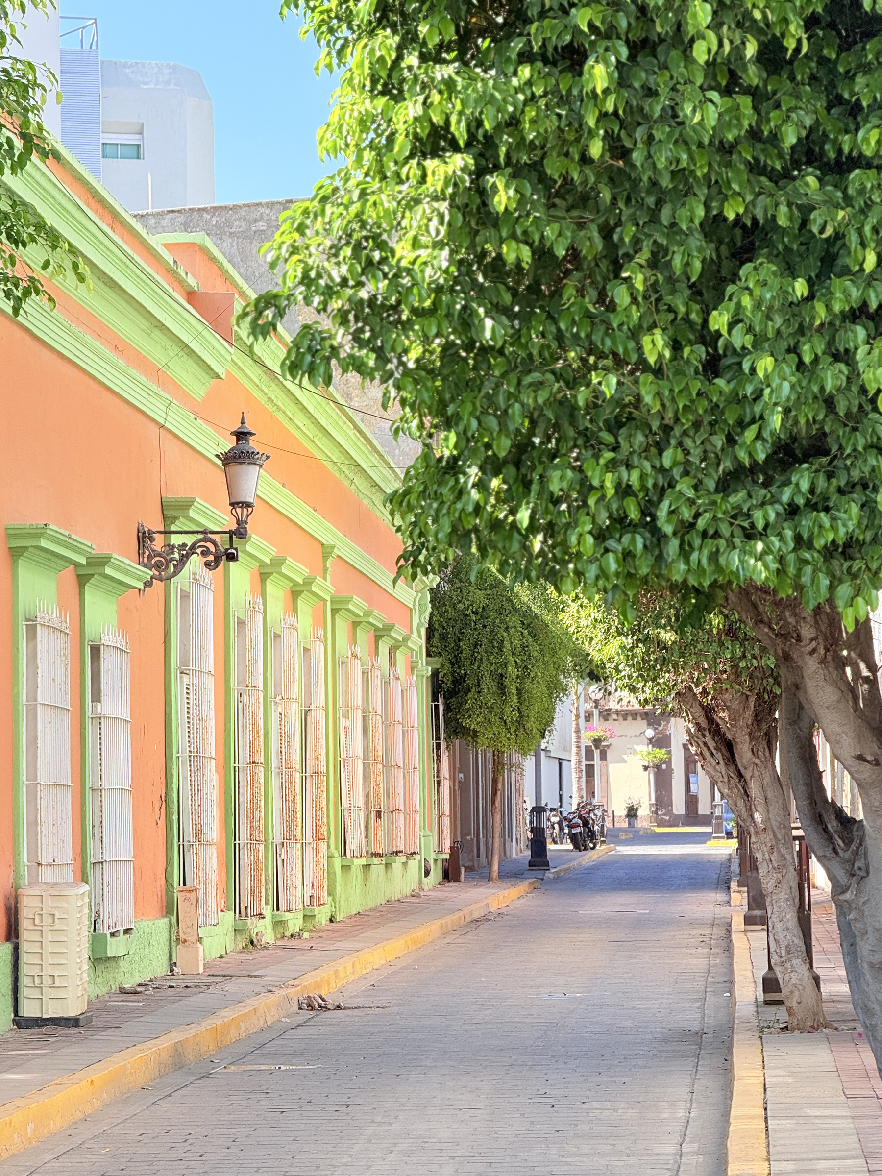
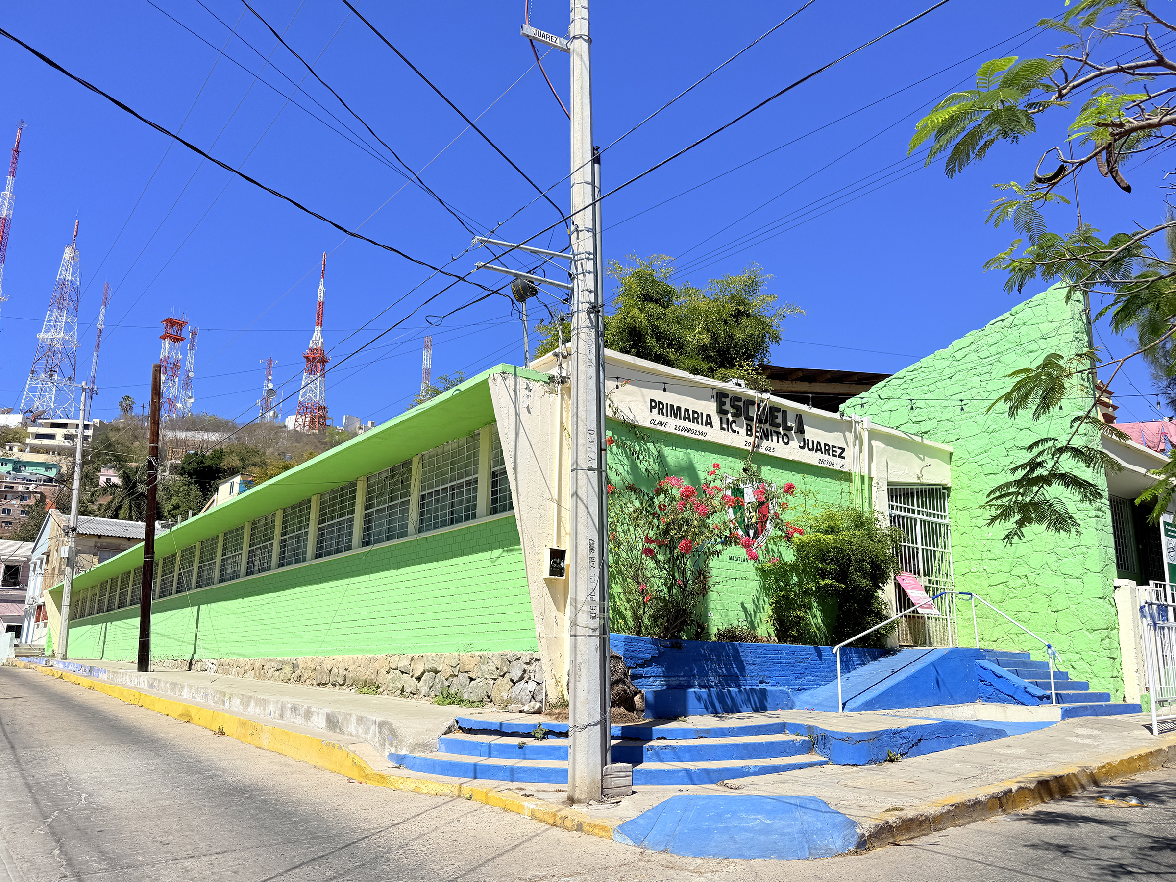
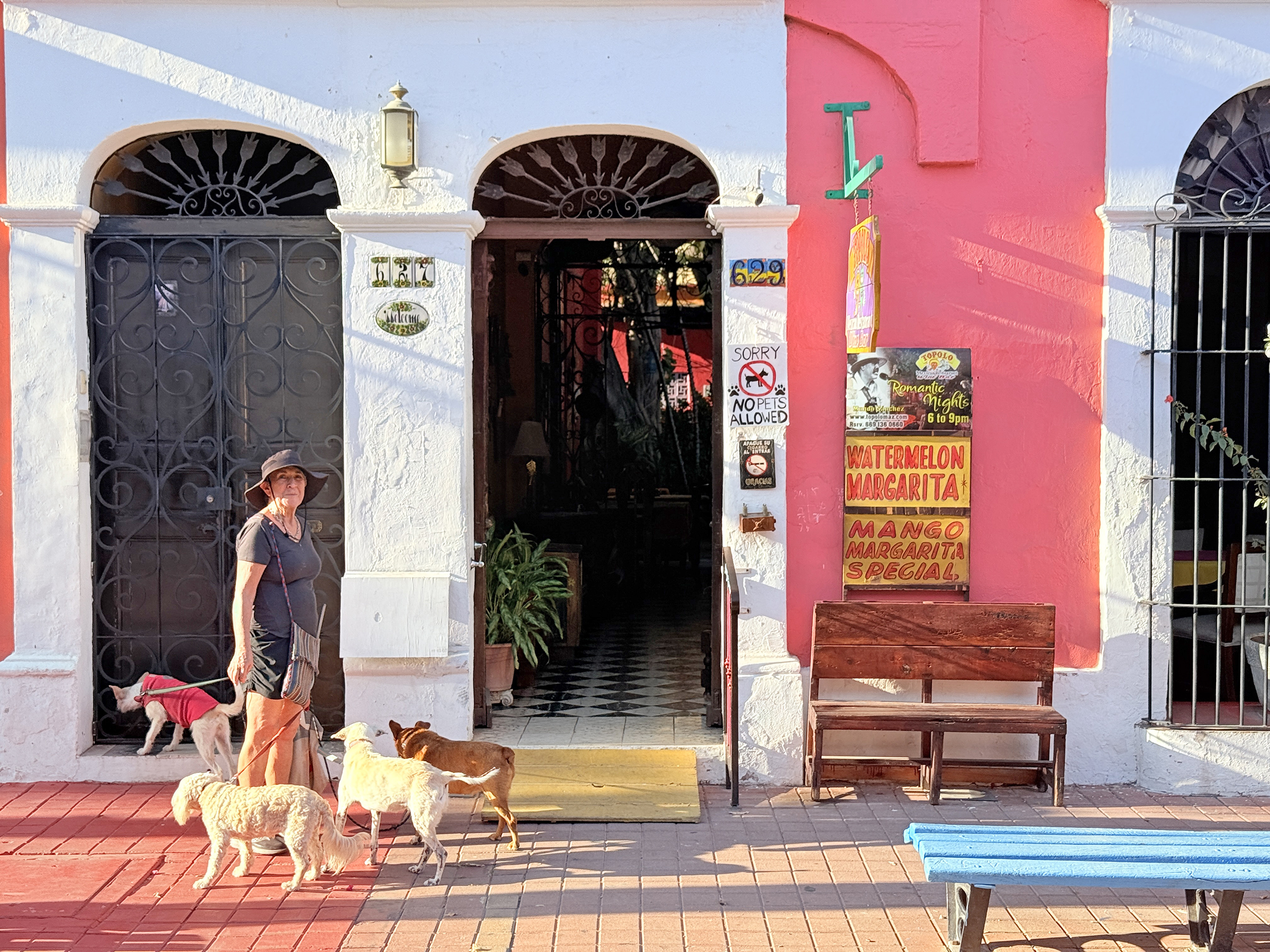
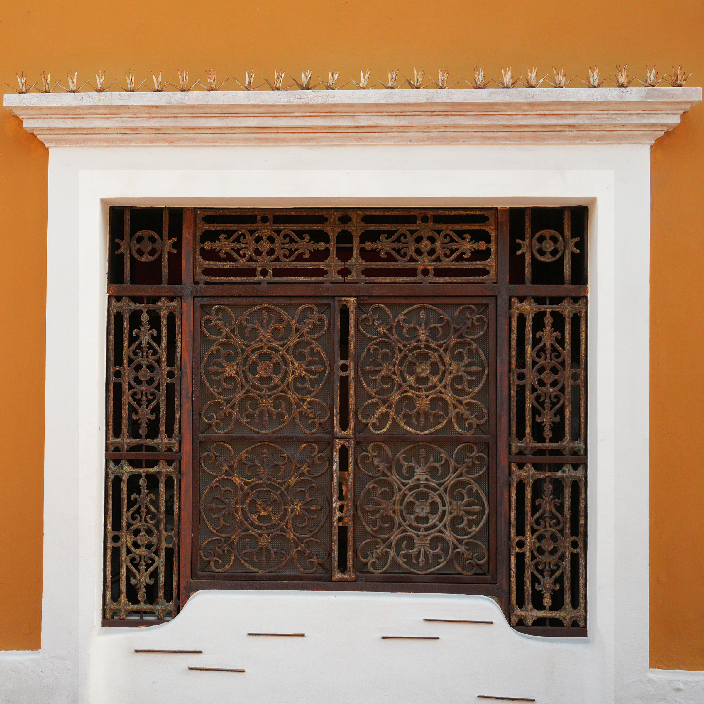
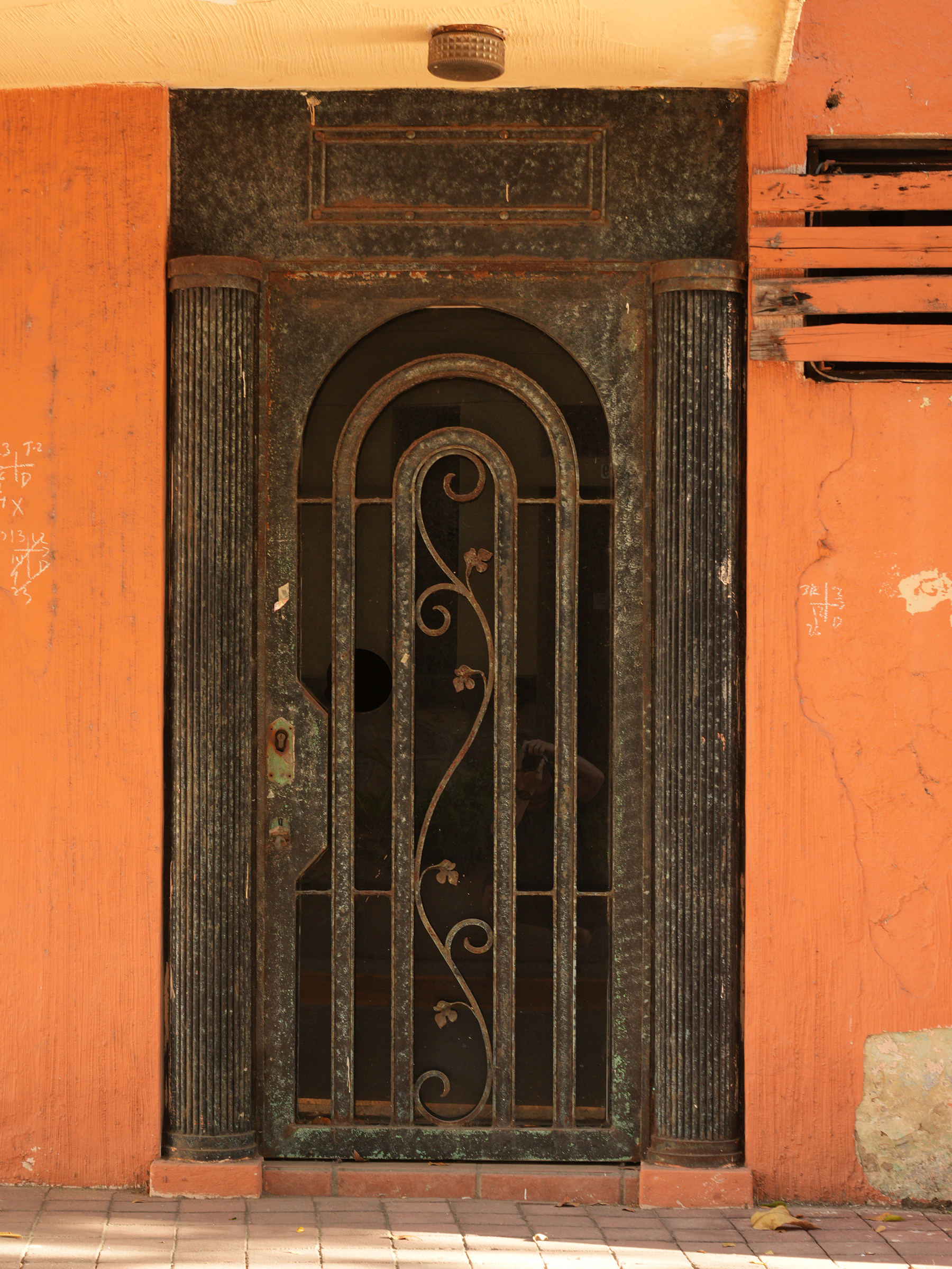
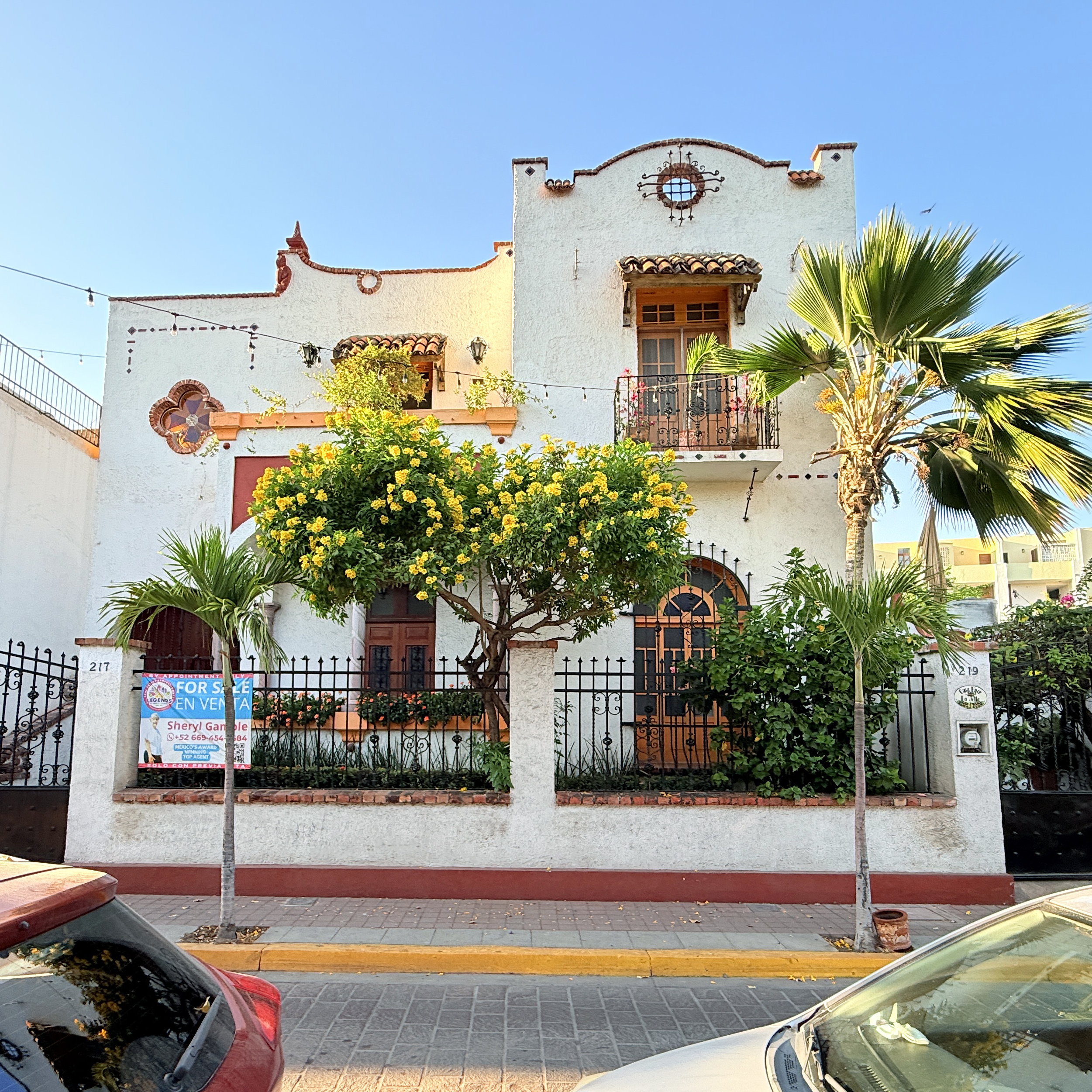
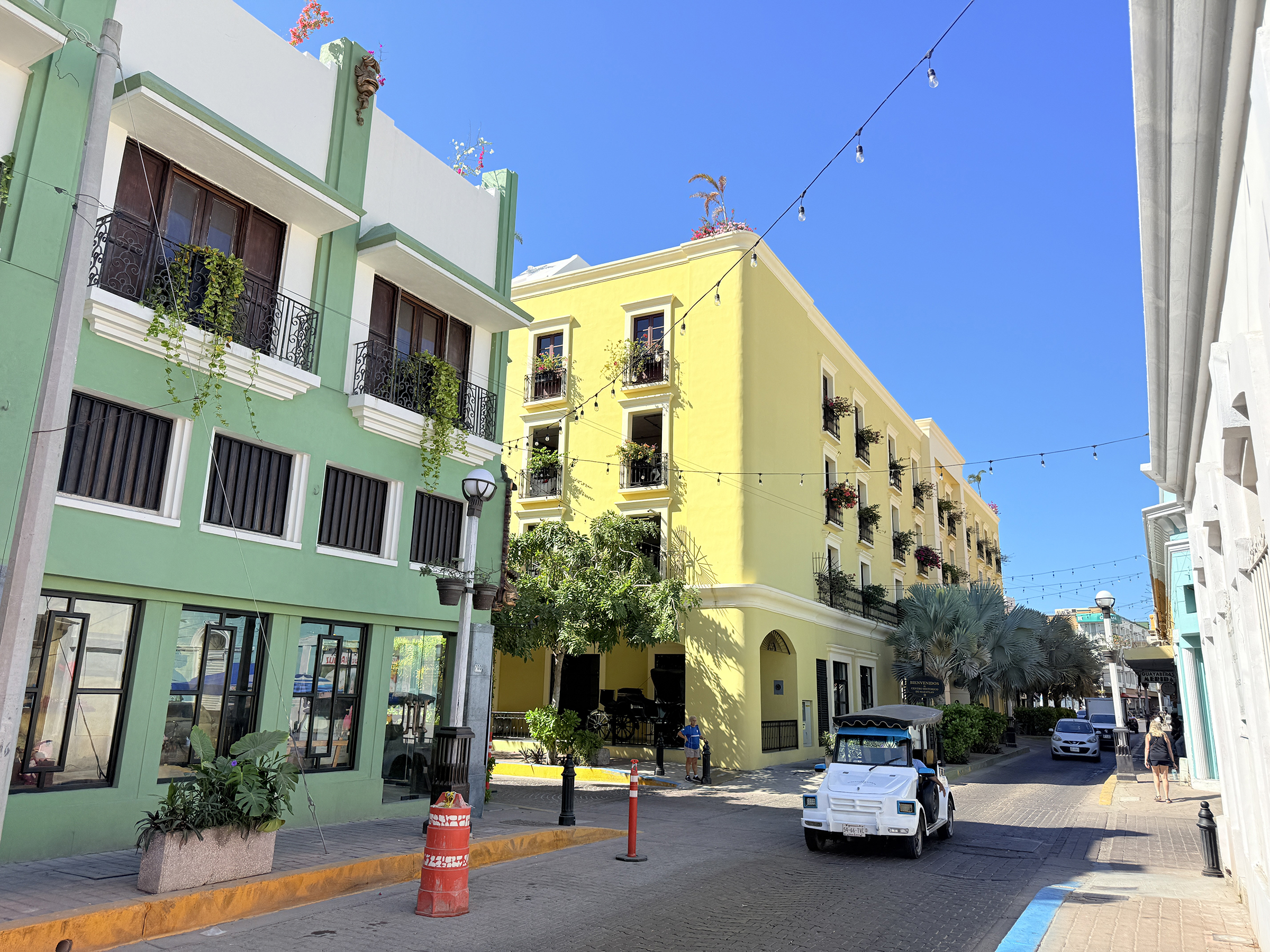
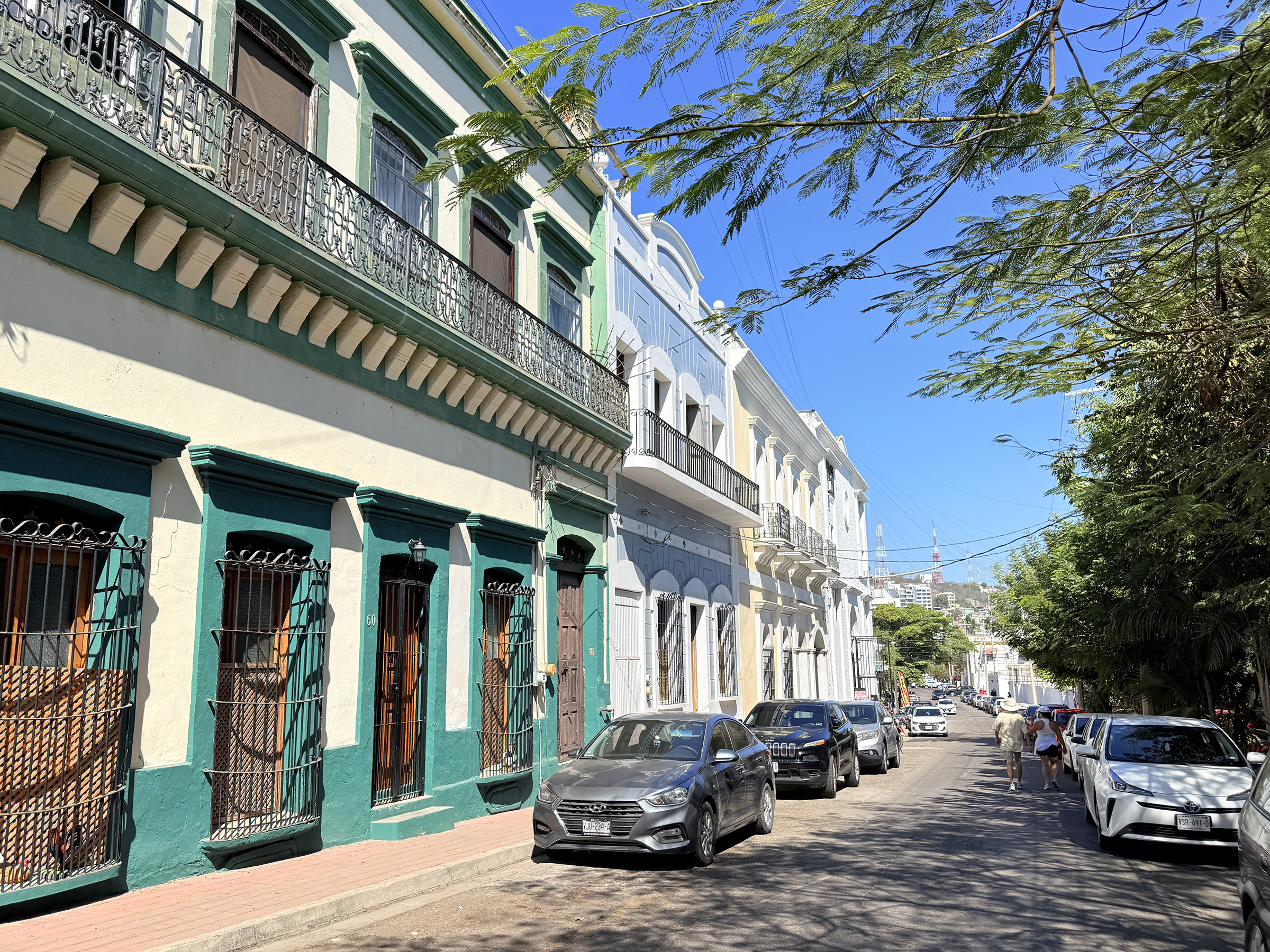
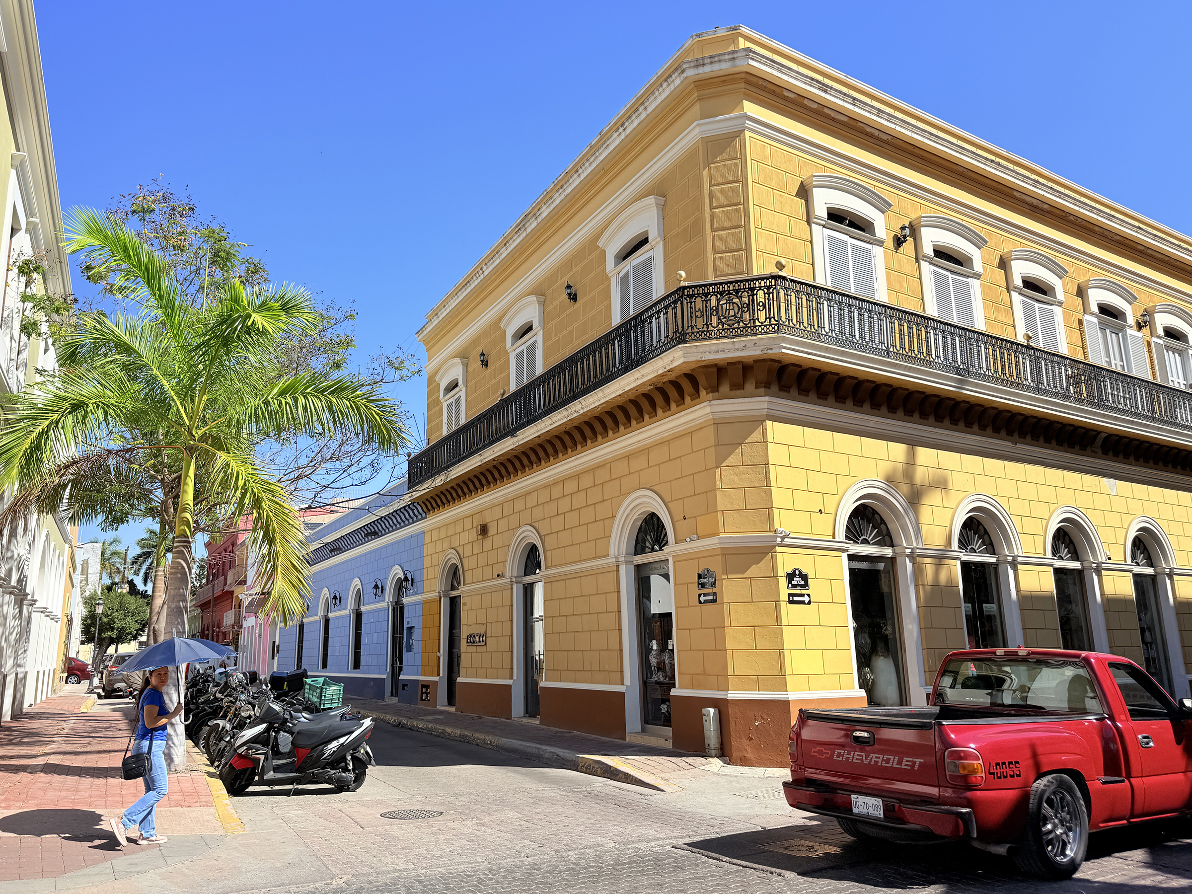
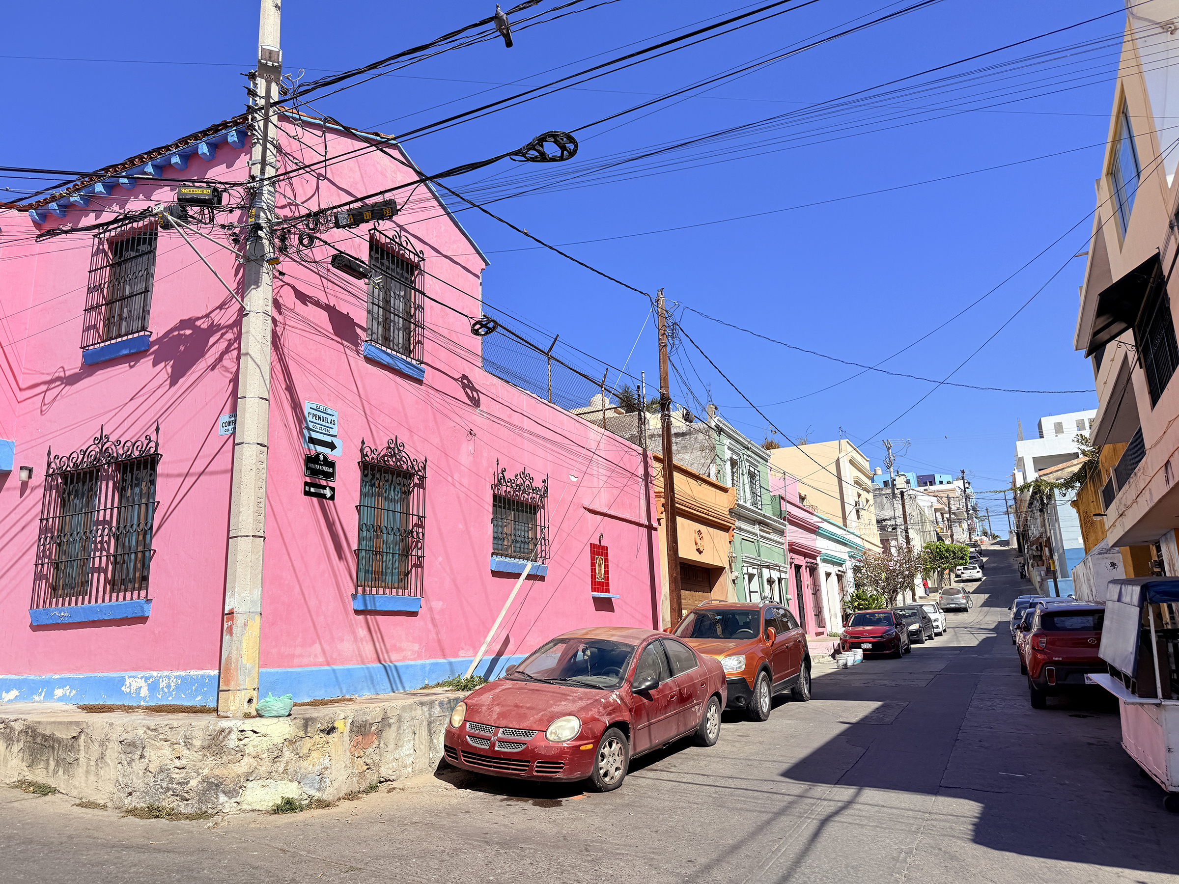
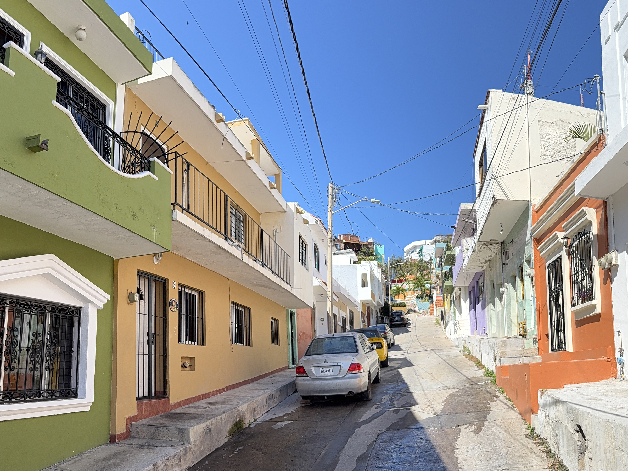
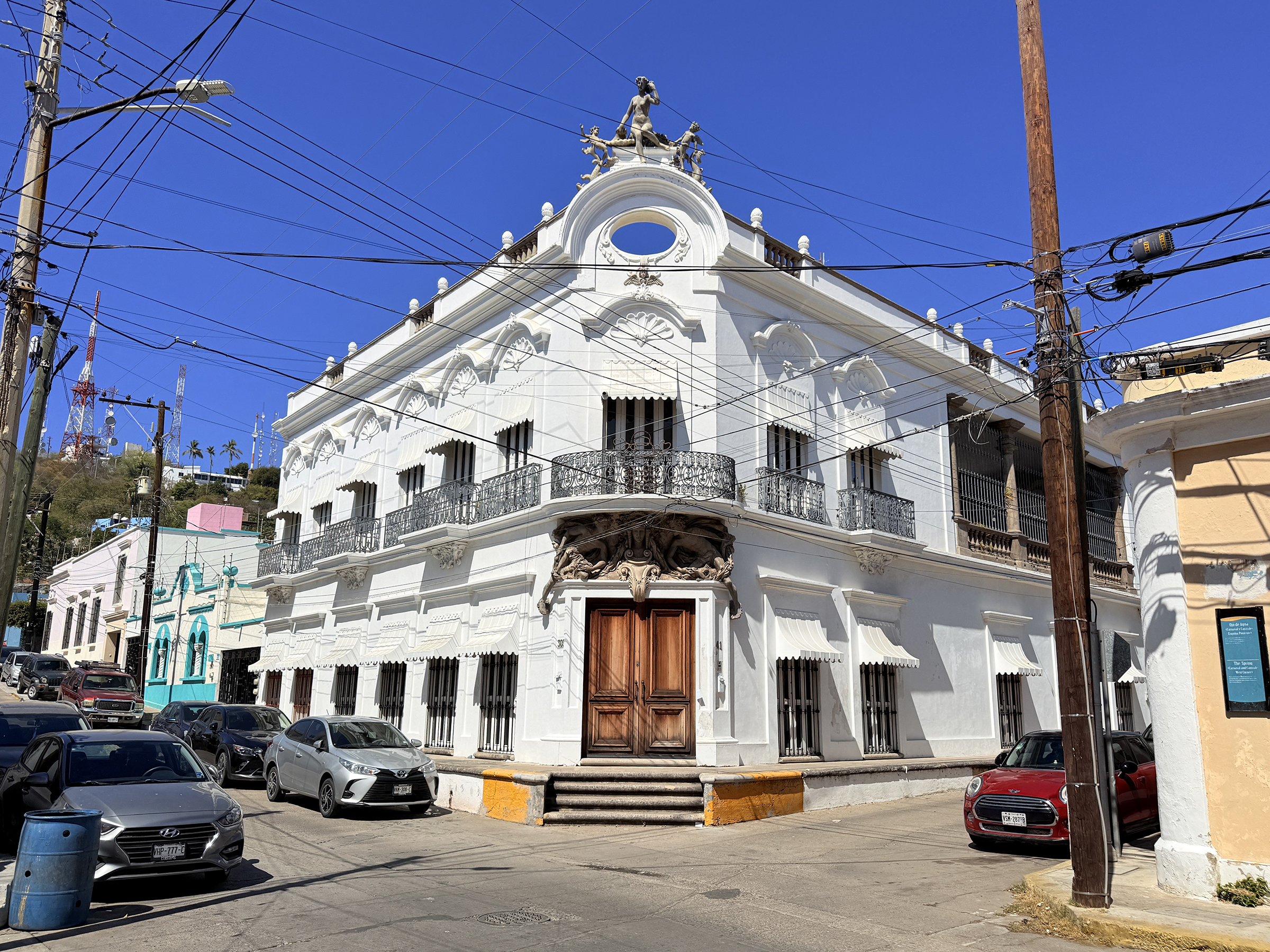
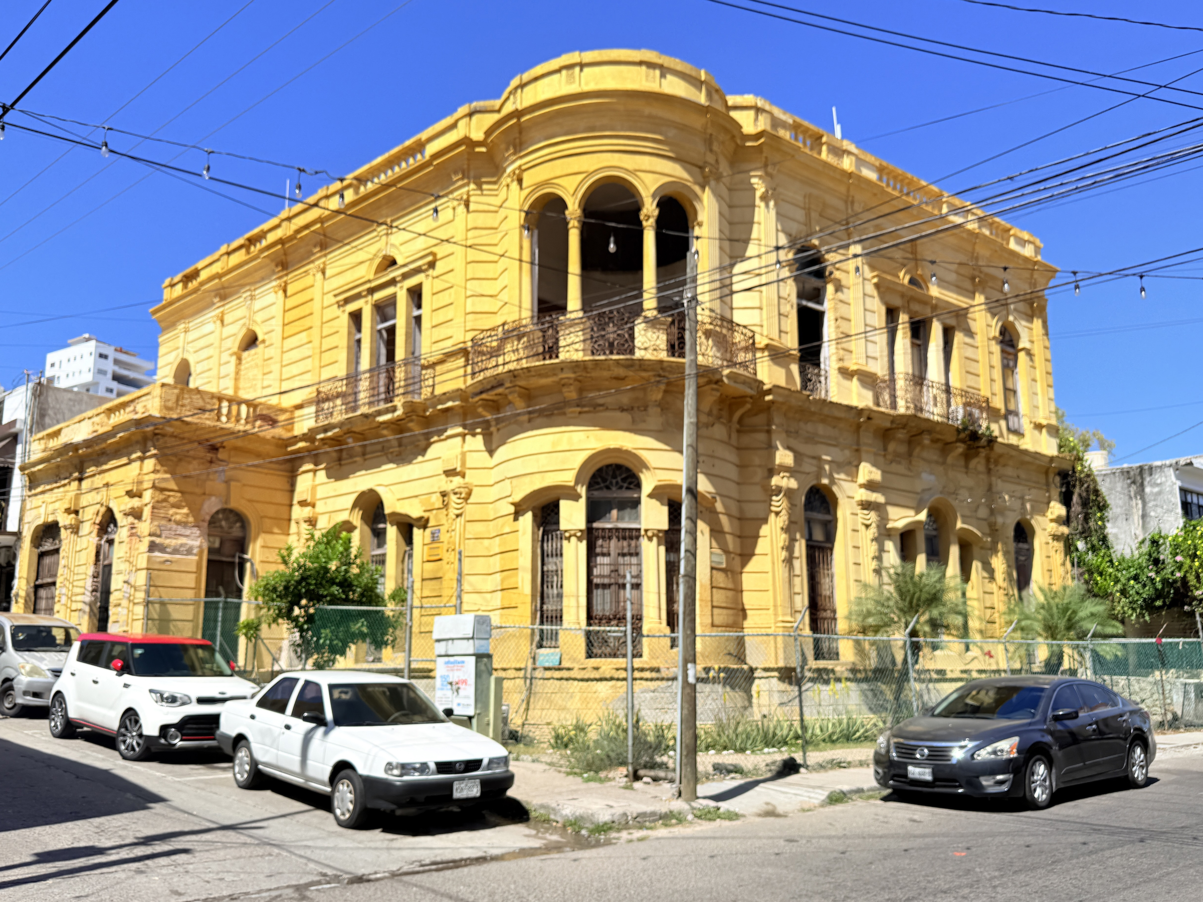
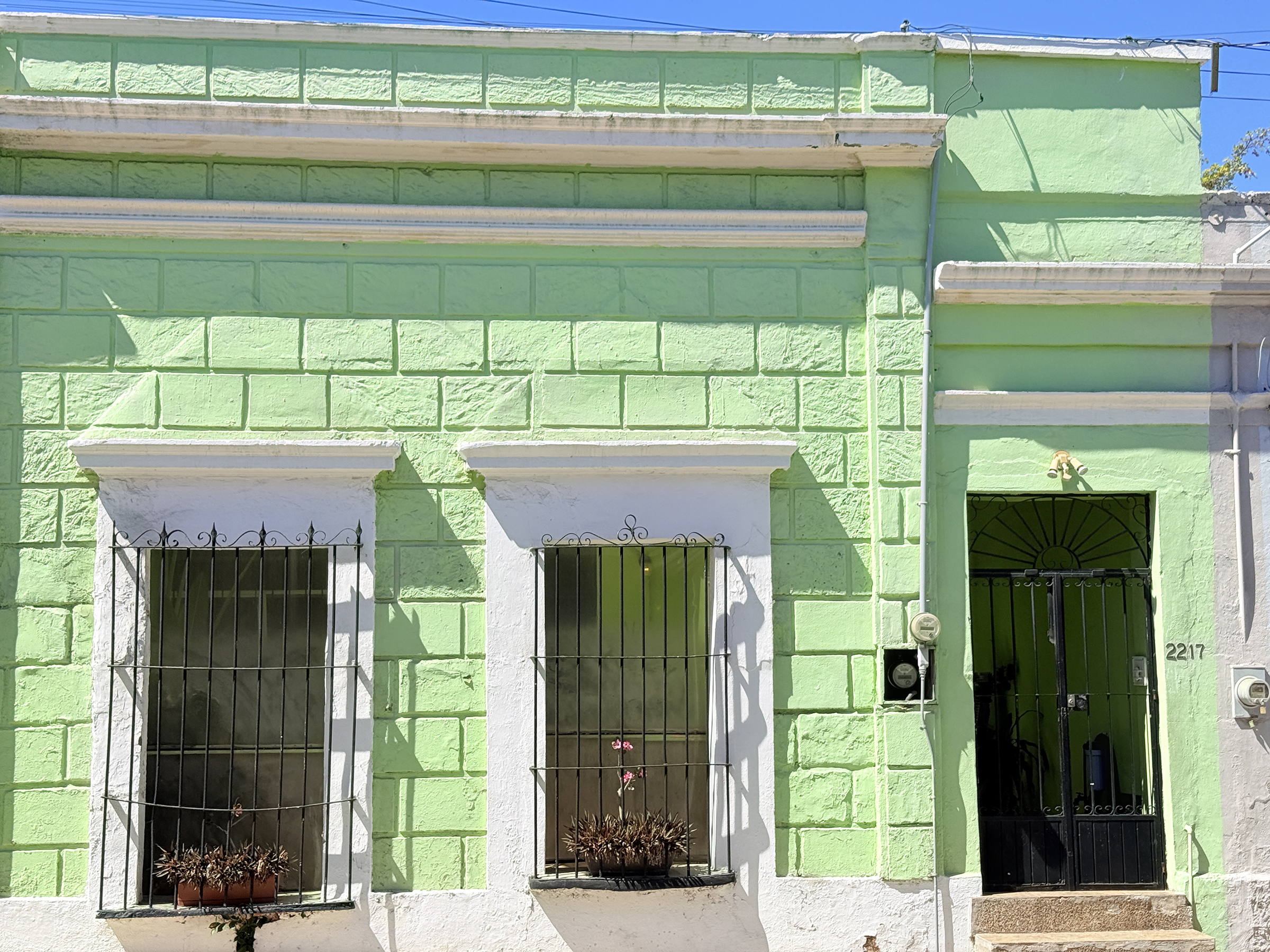
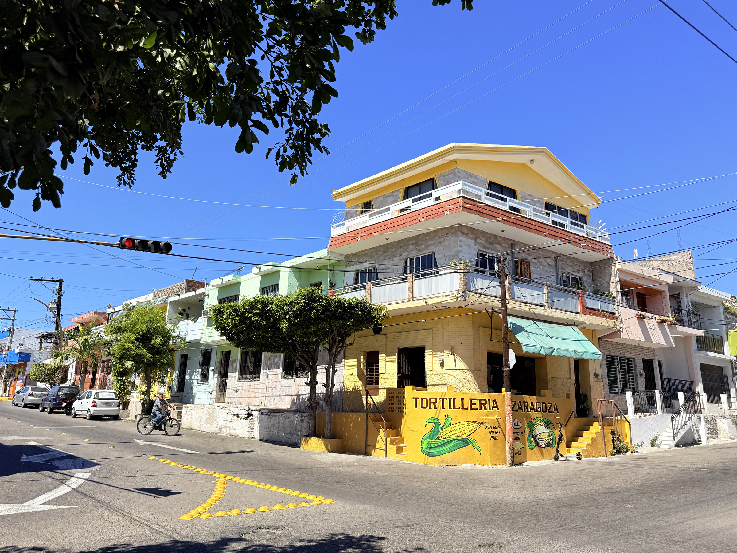
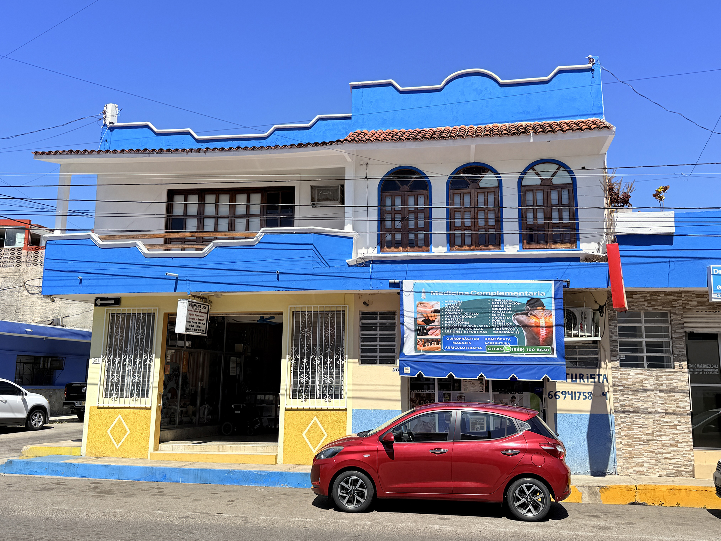
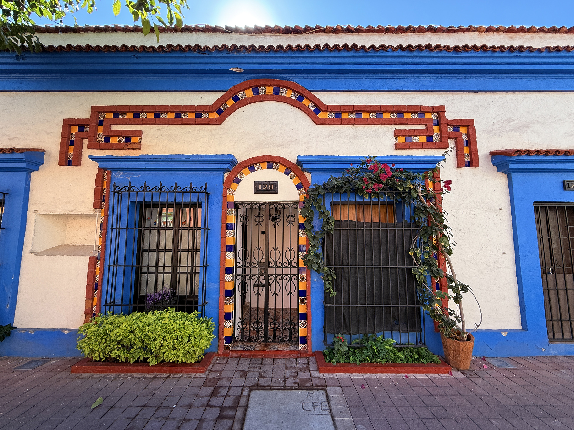
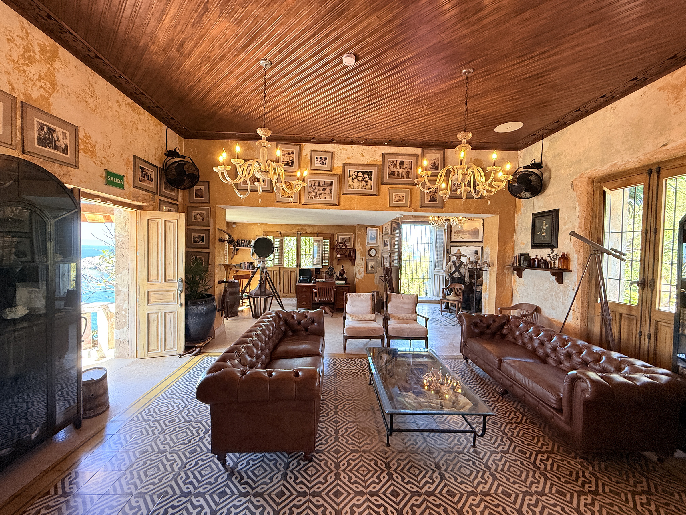
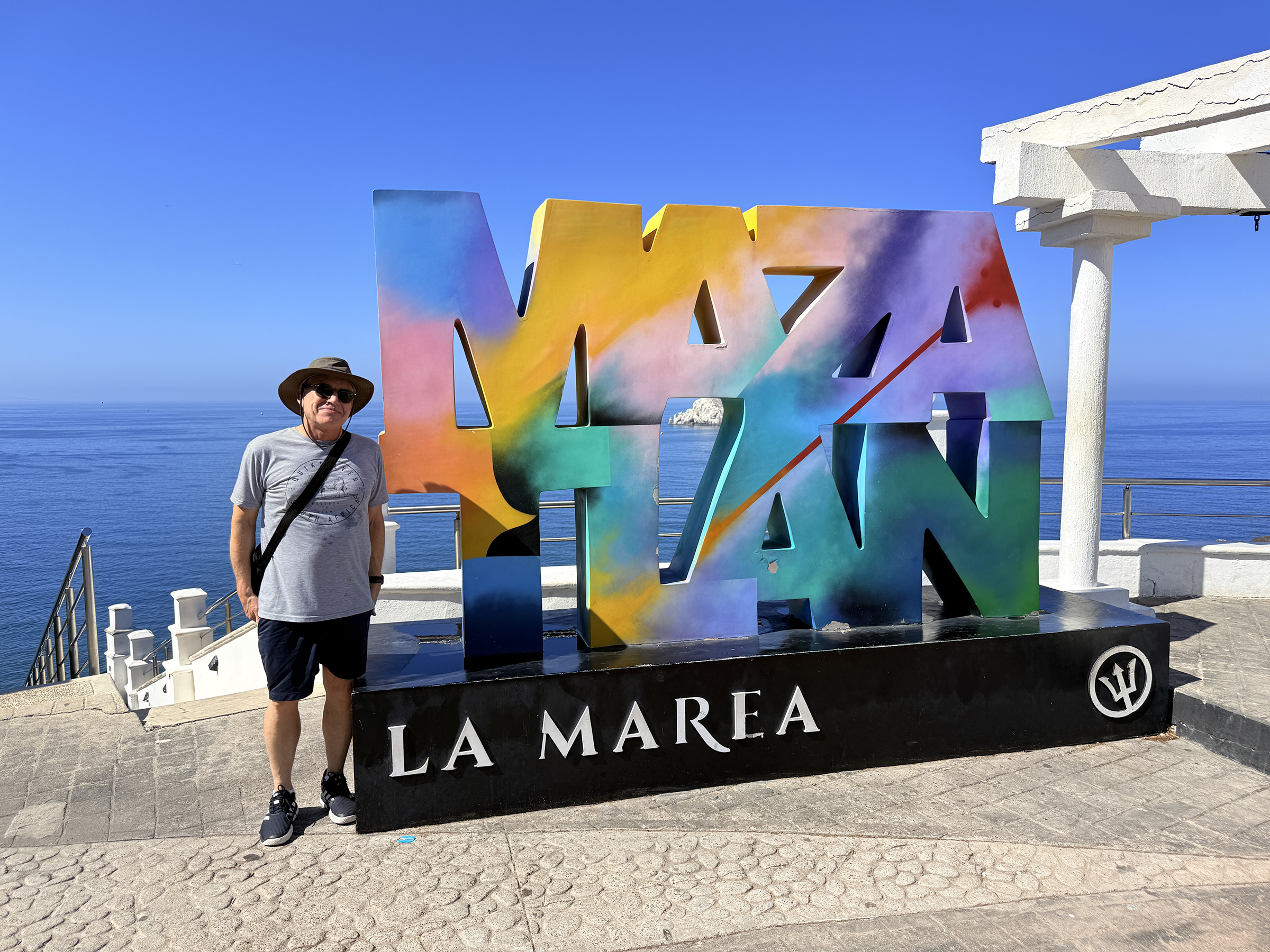
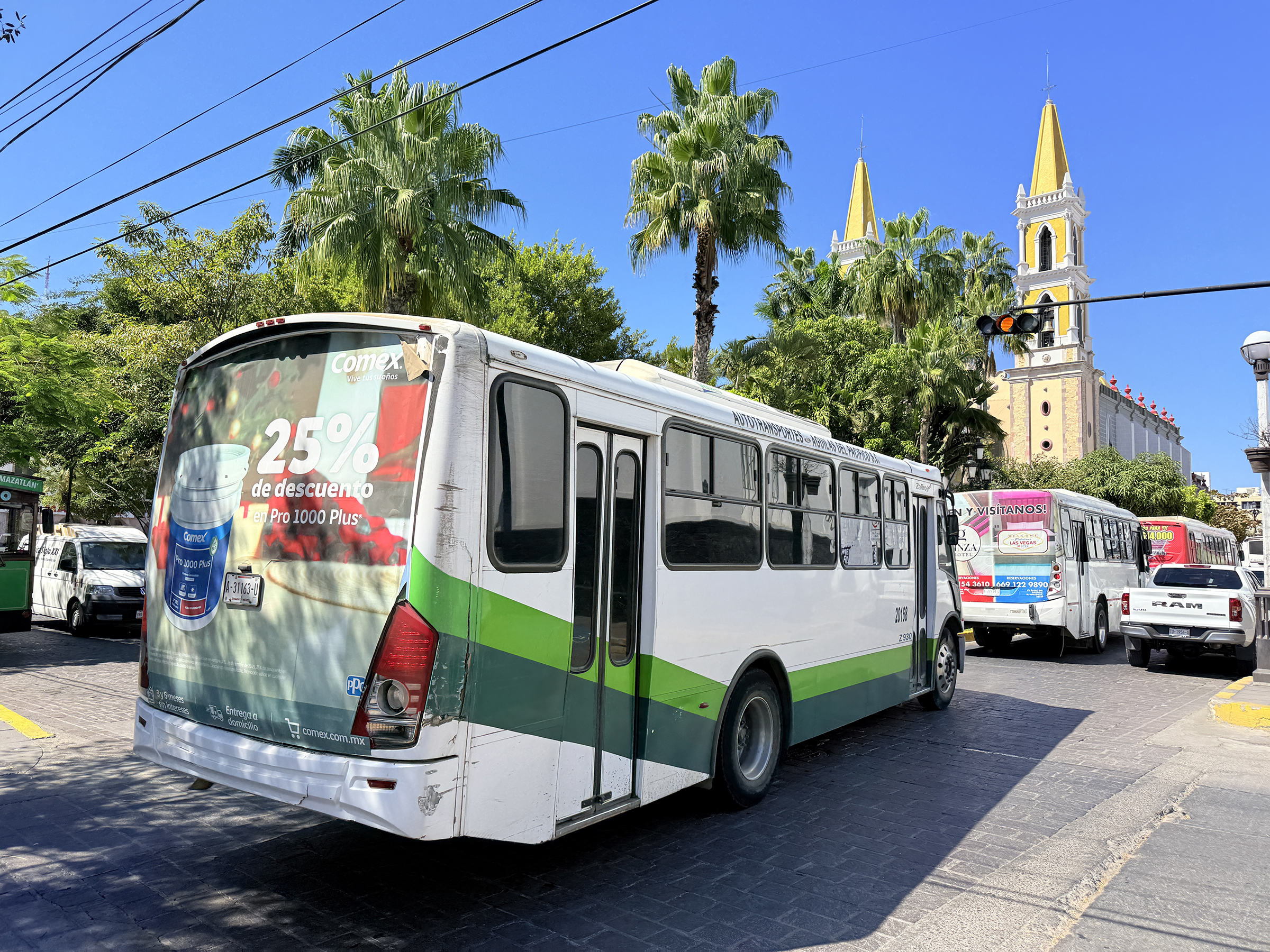
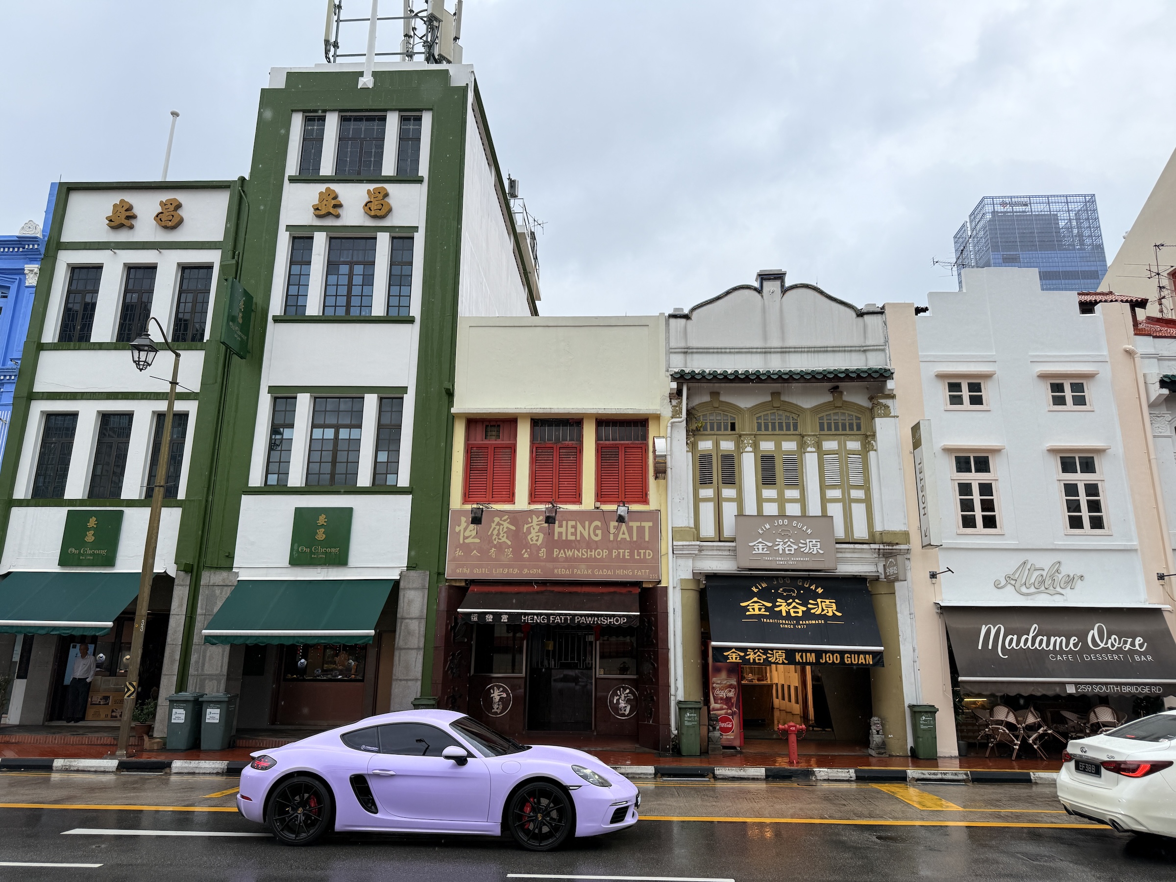
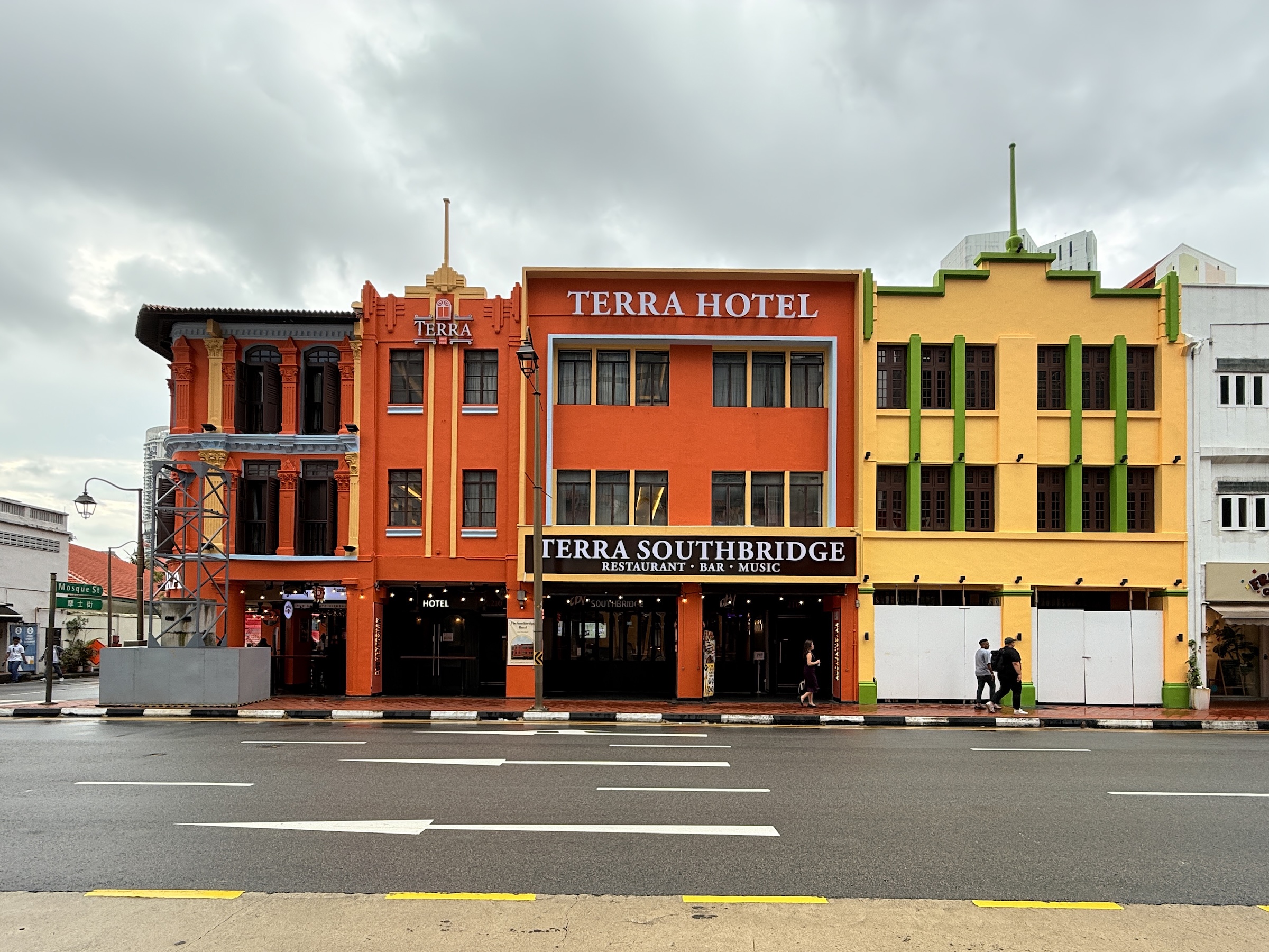
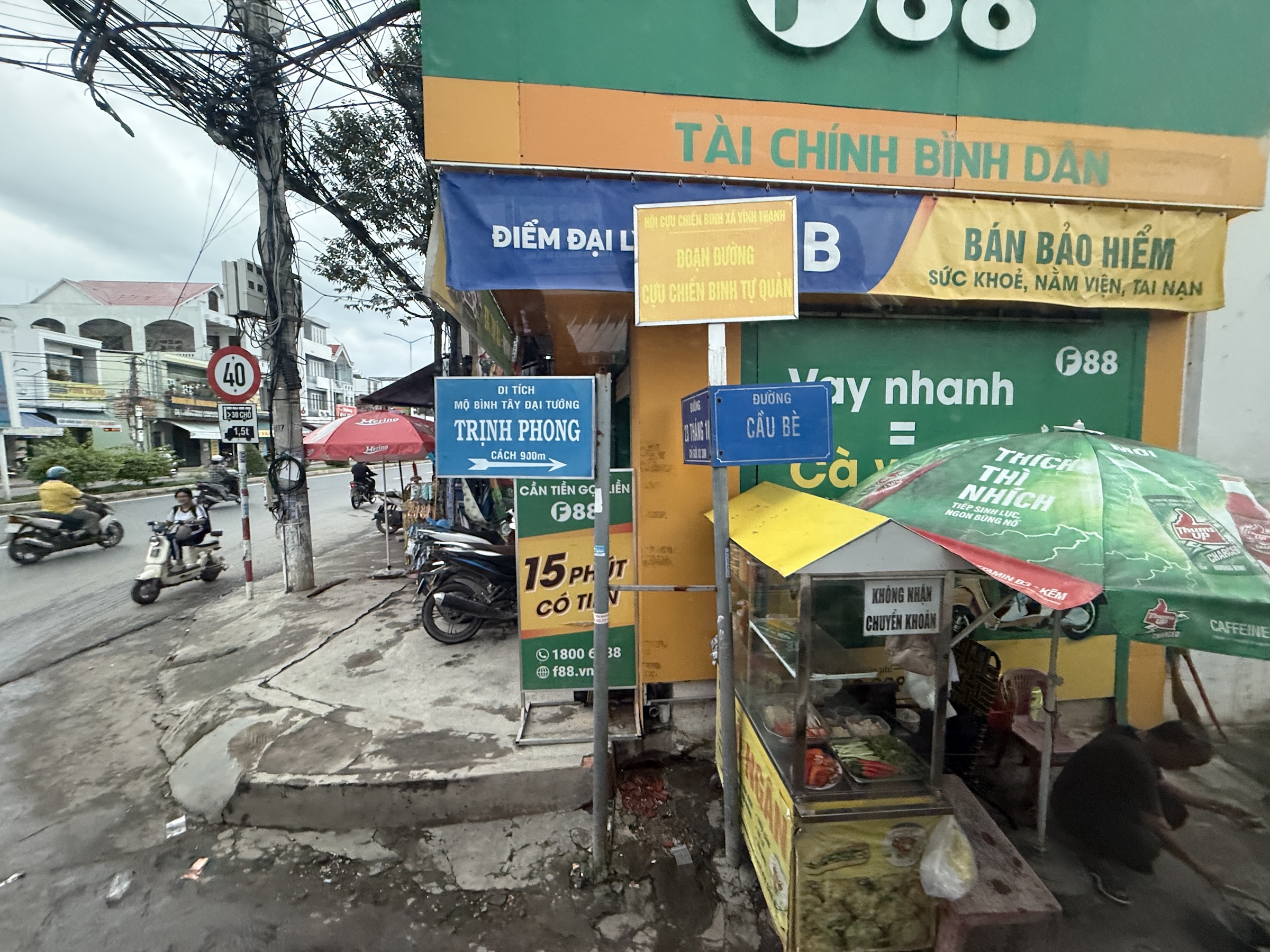
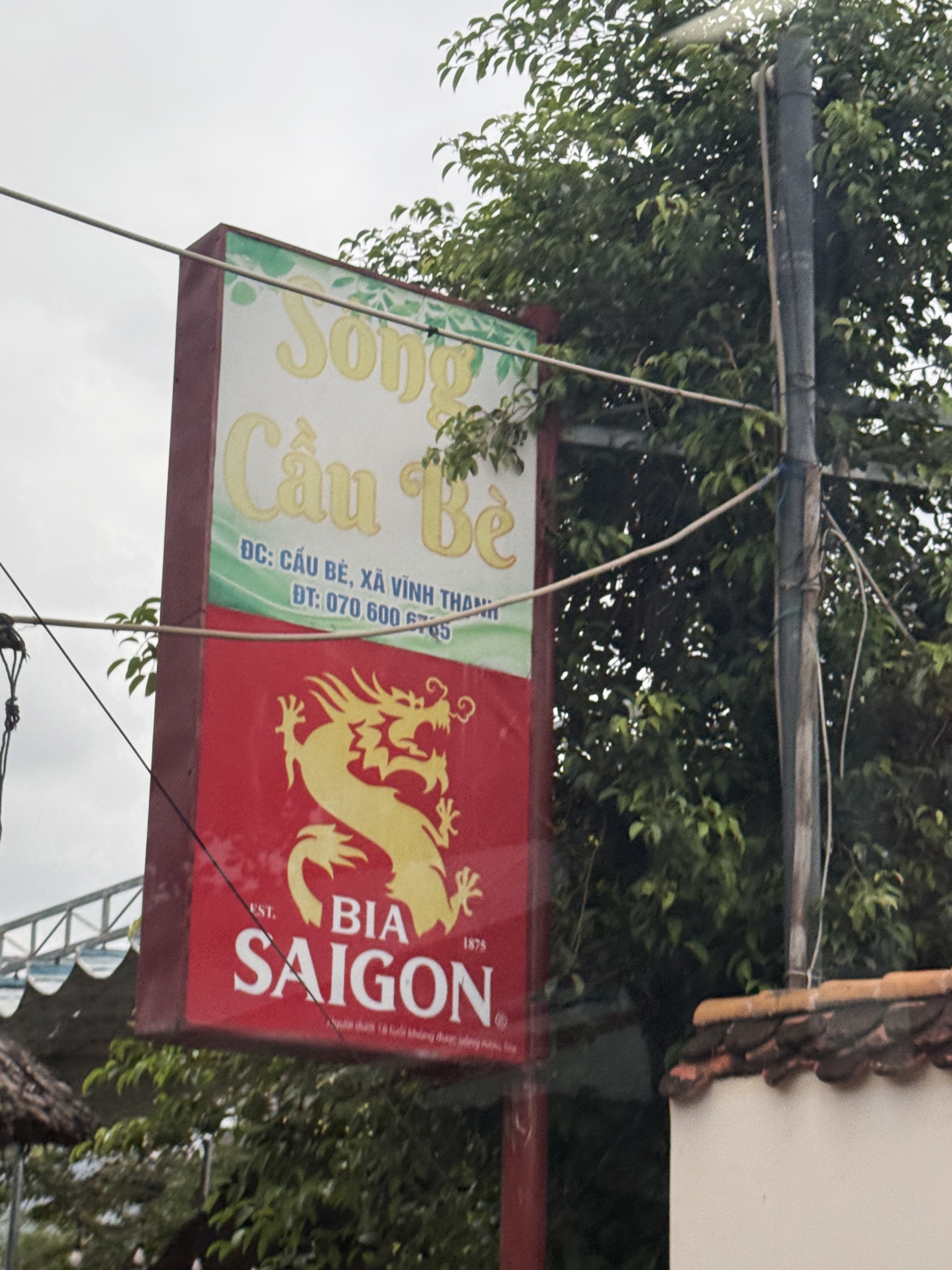
Here is a sample of beautiful architecture that had caught my eye the last few days as I walked around Centro de Mazatlán (the old center of Mazatlán).
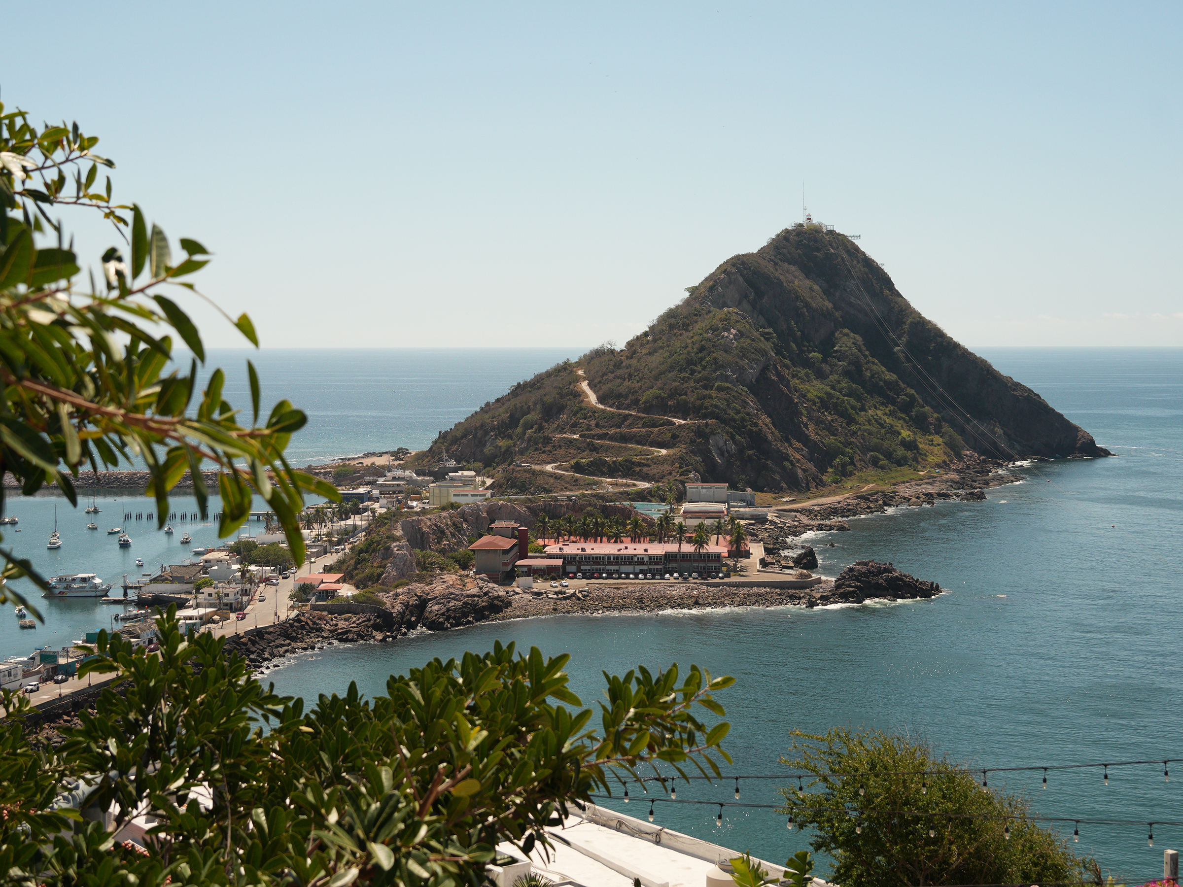
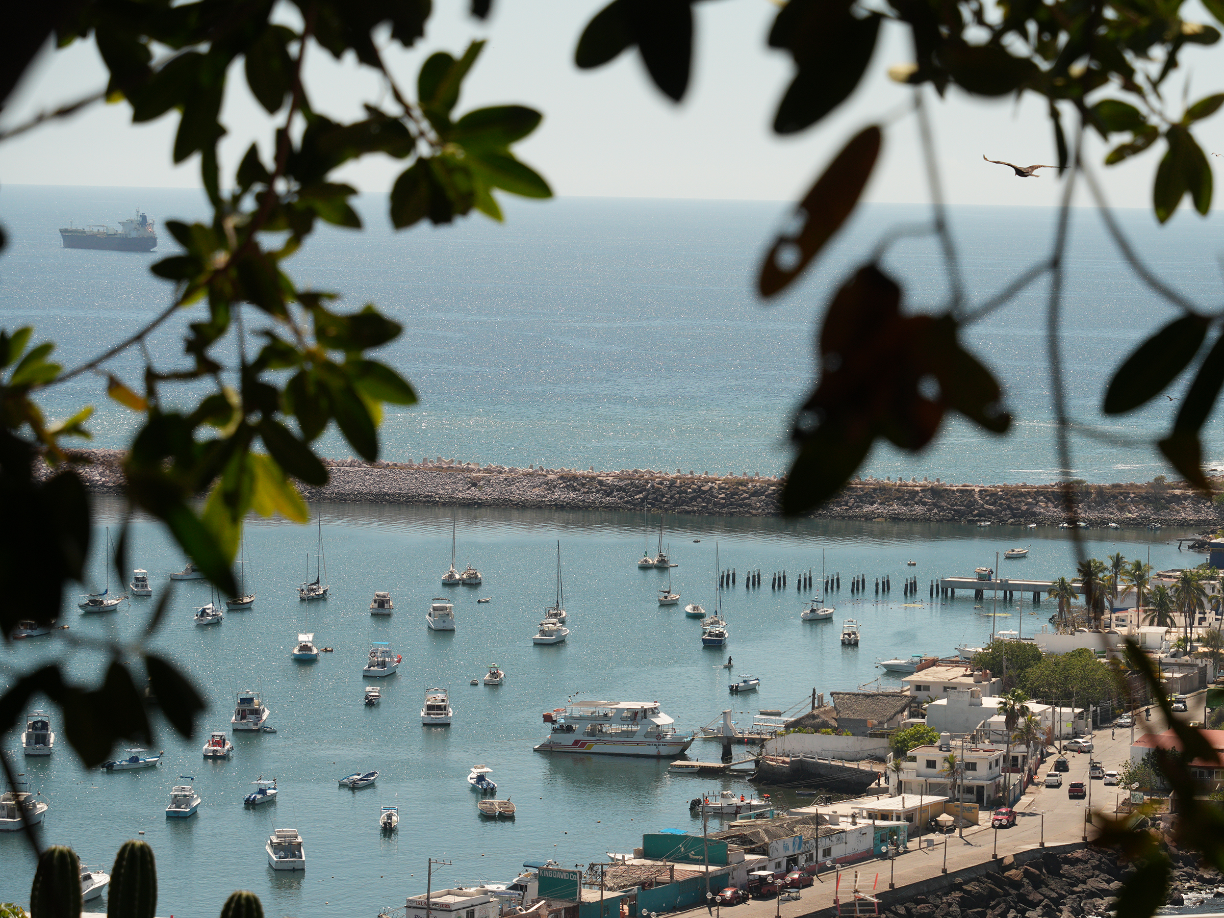
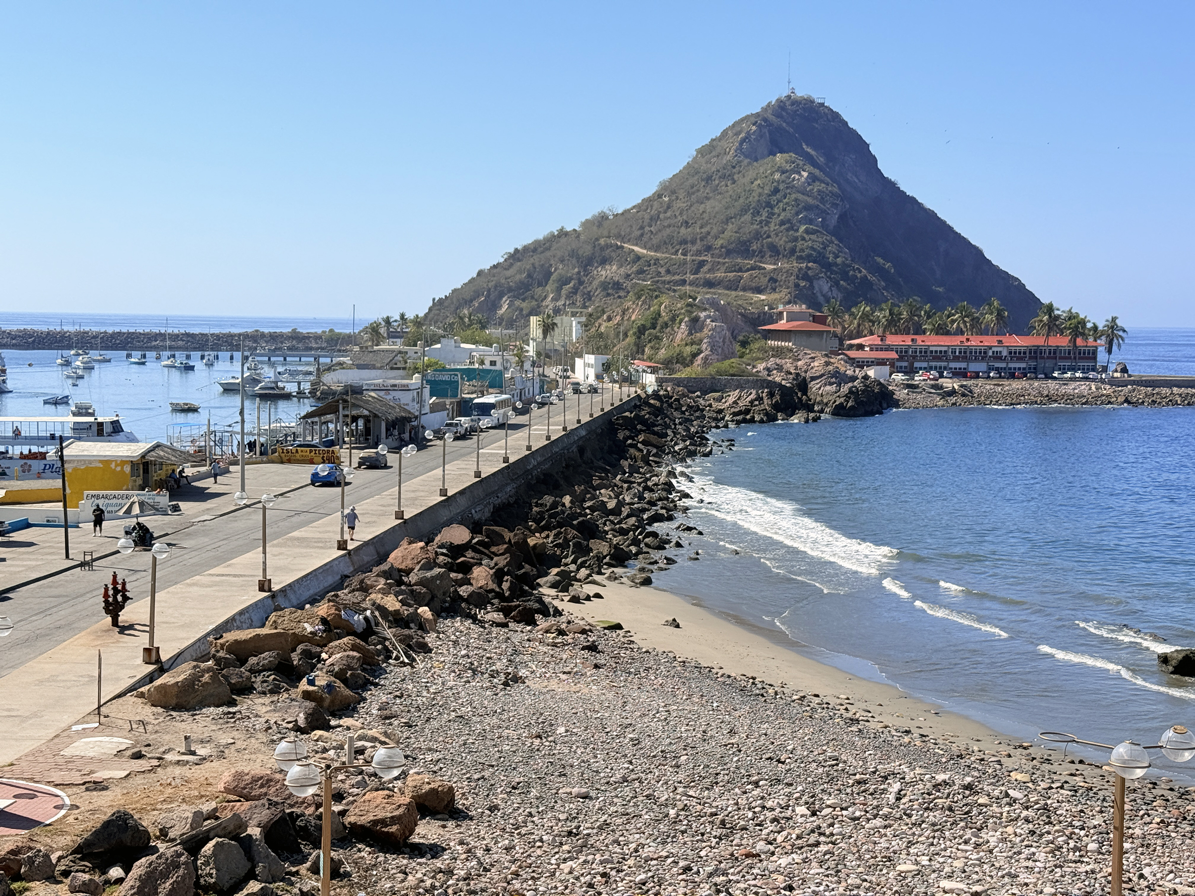
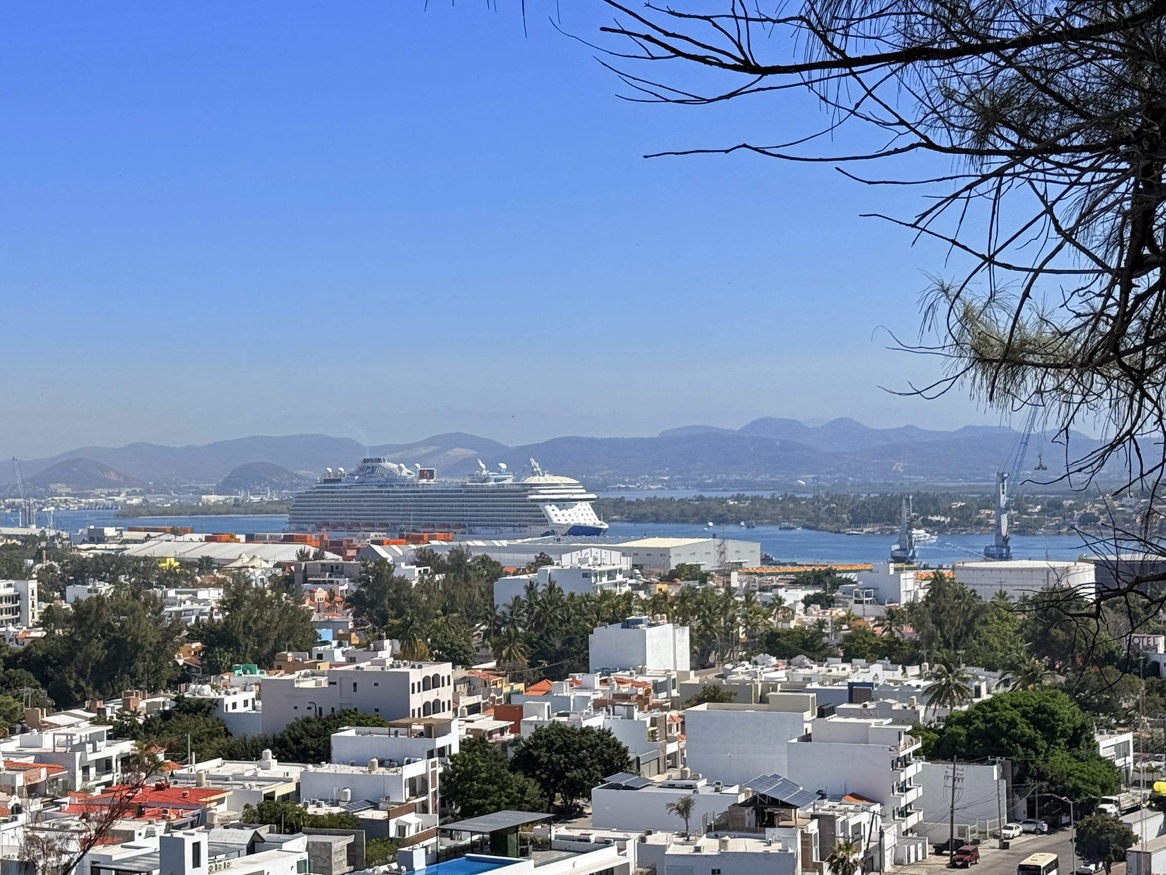
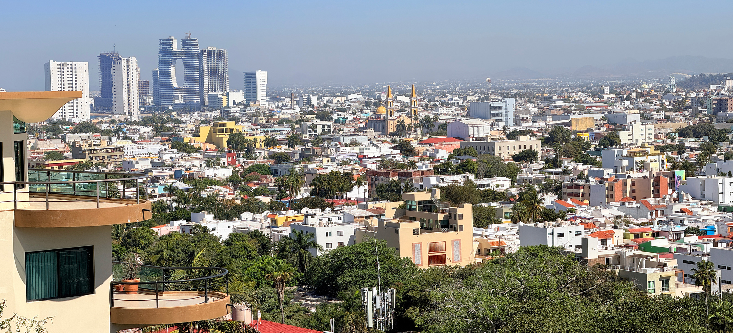
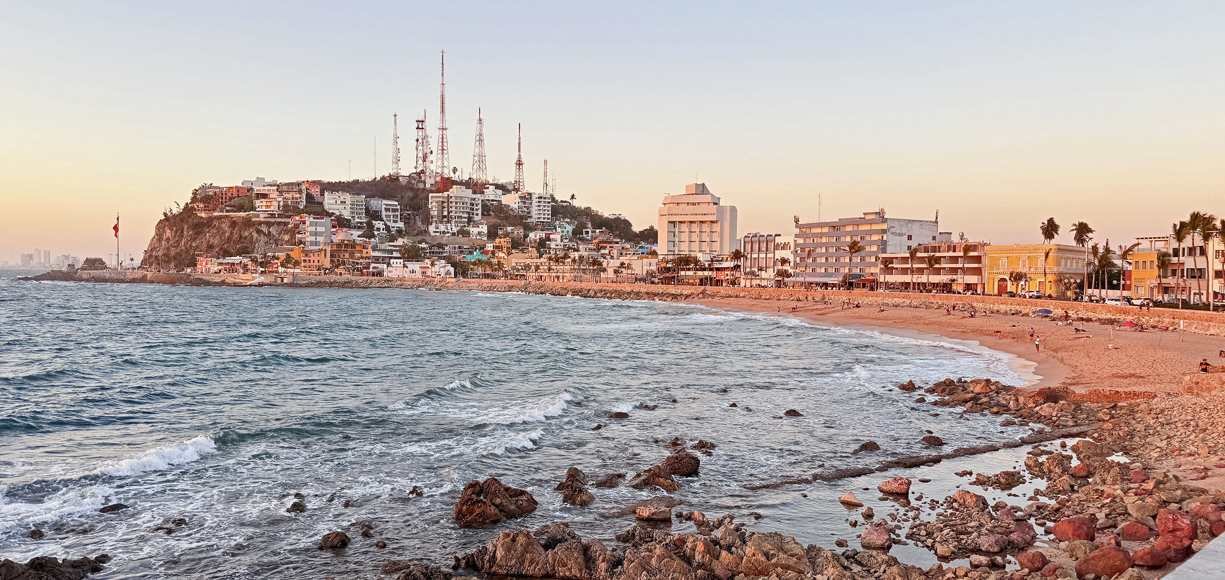
There was a marine layer out on the ocean this morning as we made our way to Cerro del Vigía (‘Lookout Hill’).
We took the short cable car trip up to the observatory: the touristic park named Observatorio 1873, after the year of its construction.
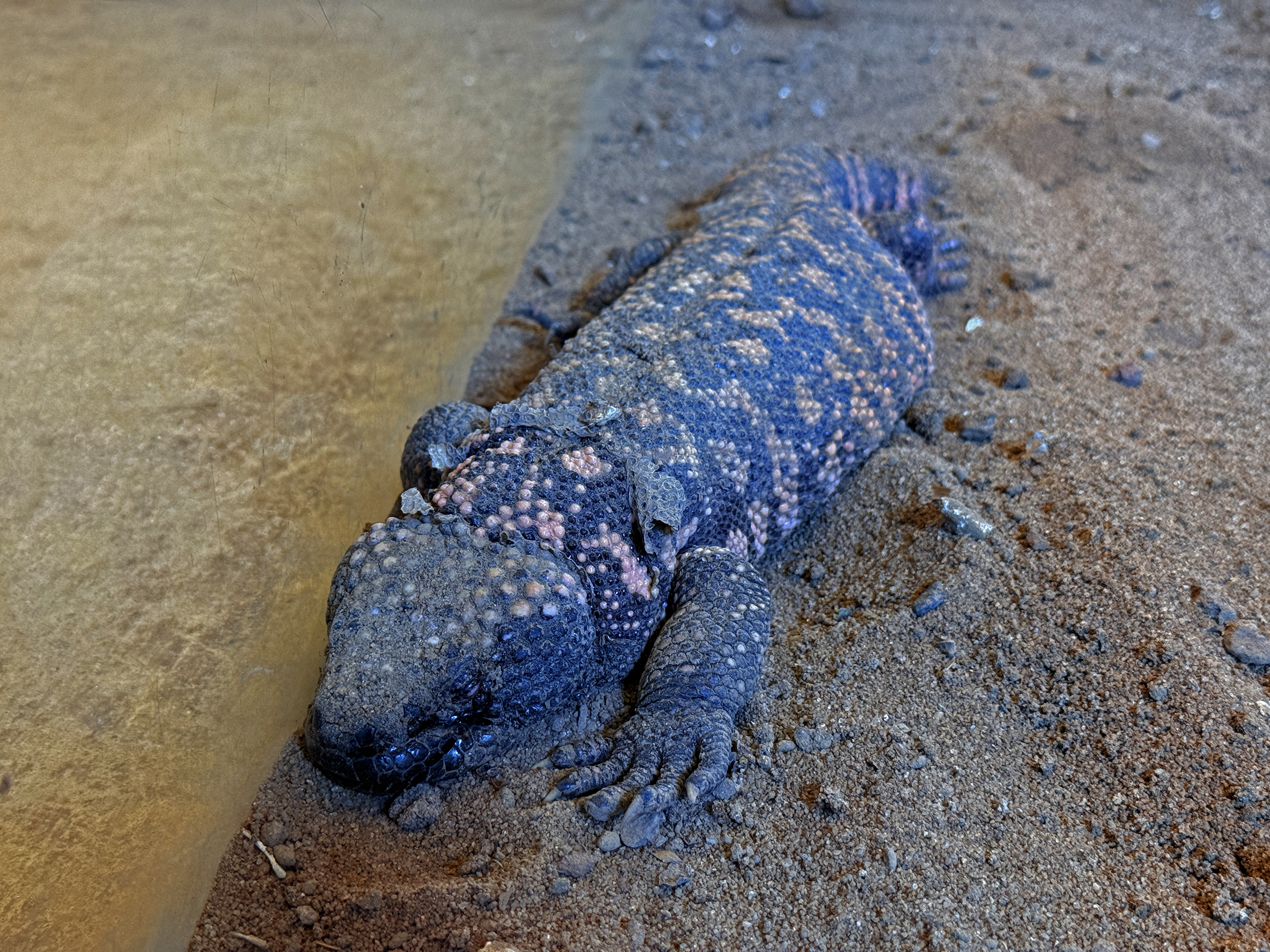
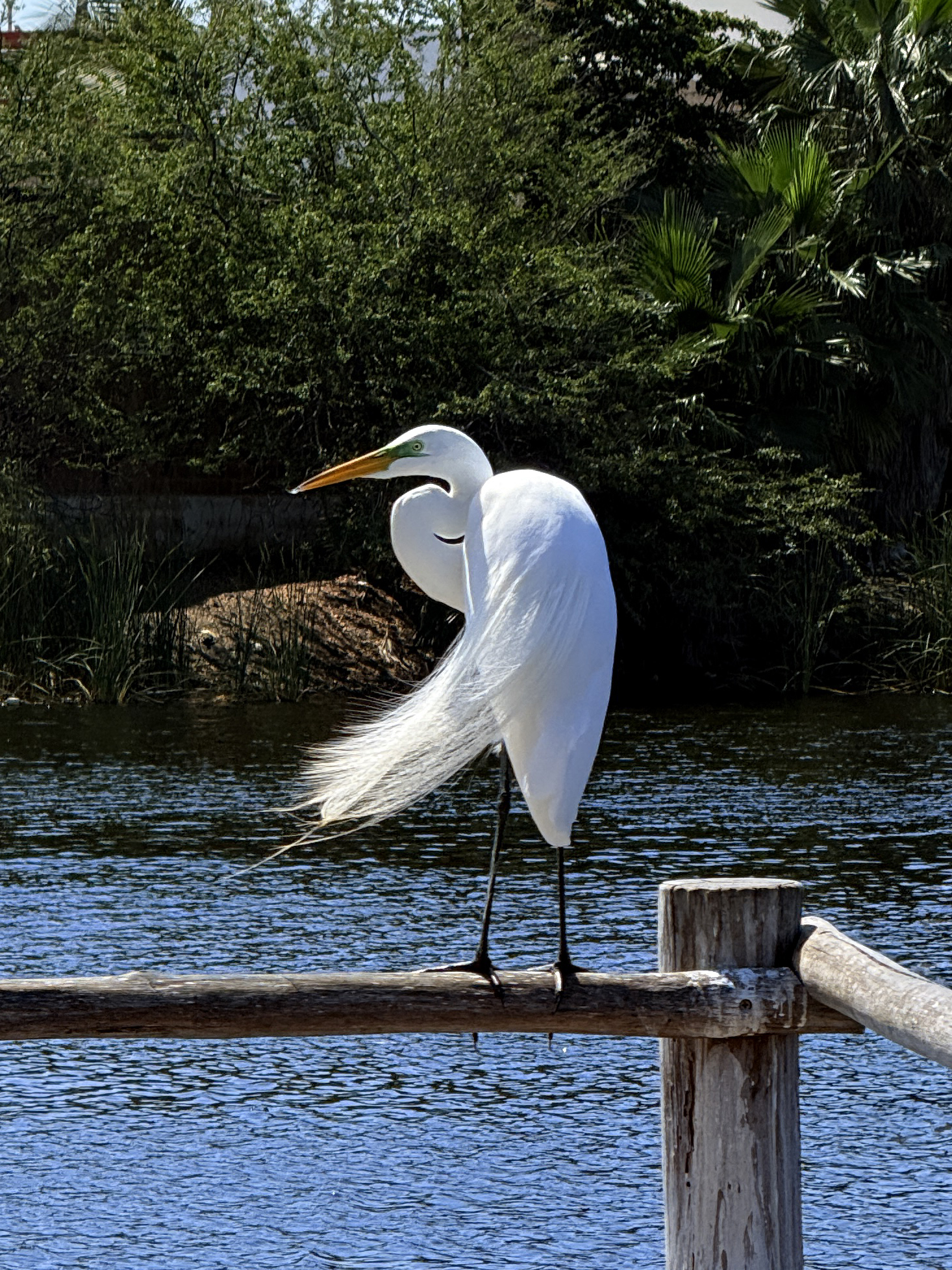
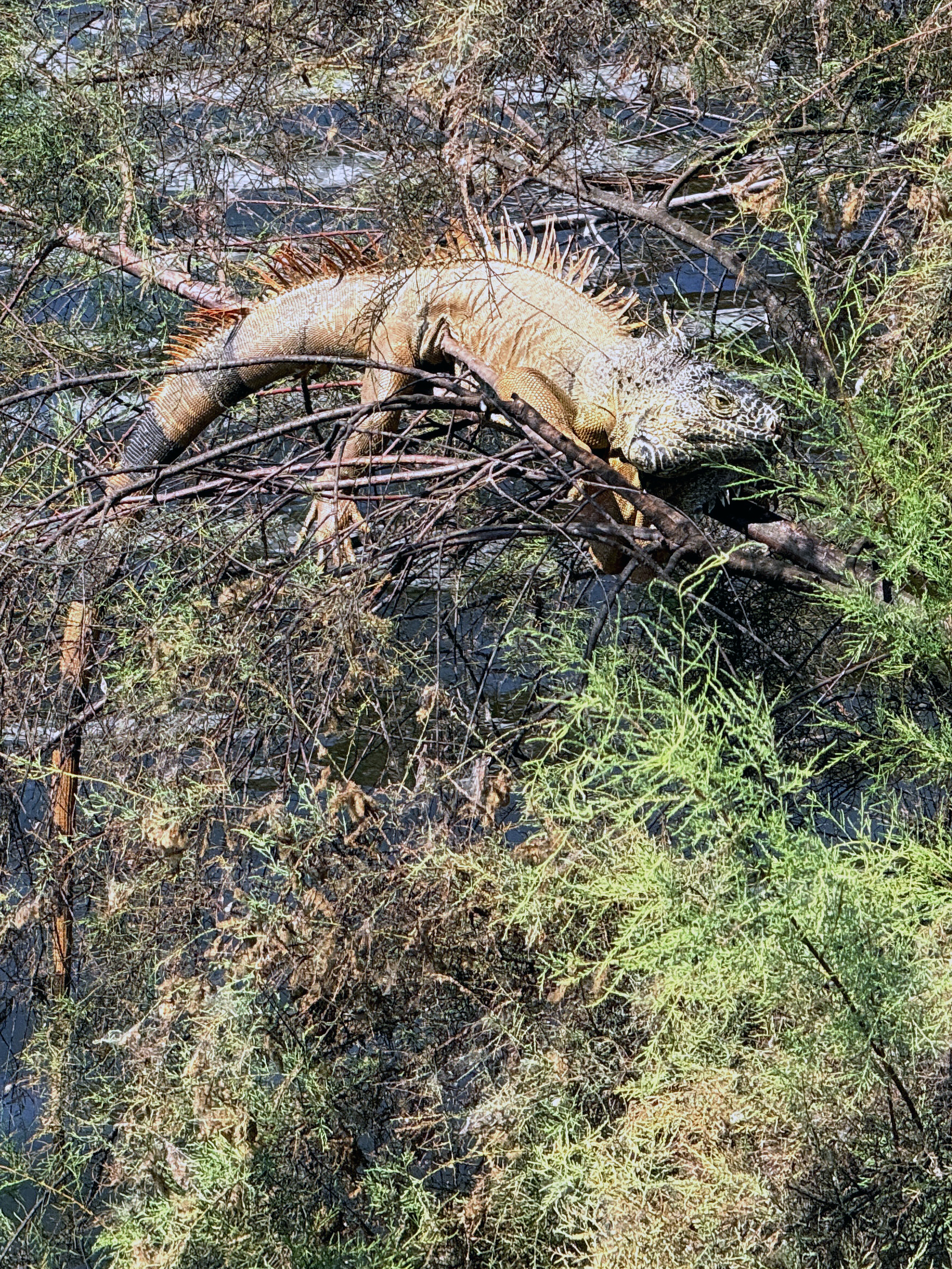
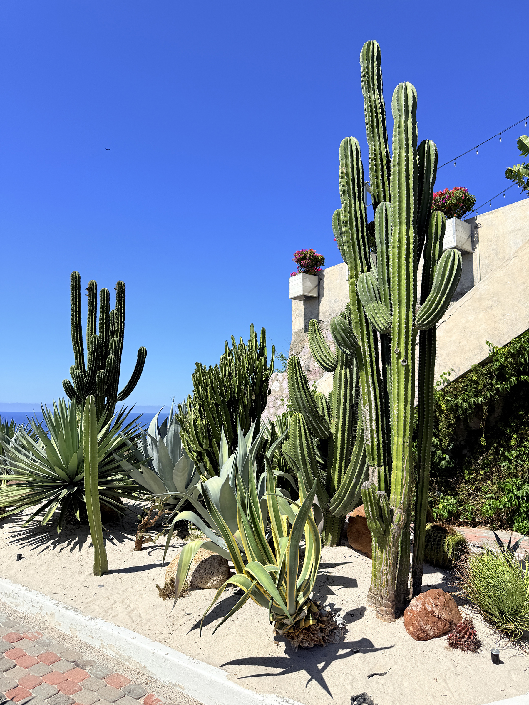
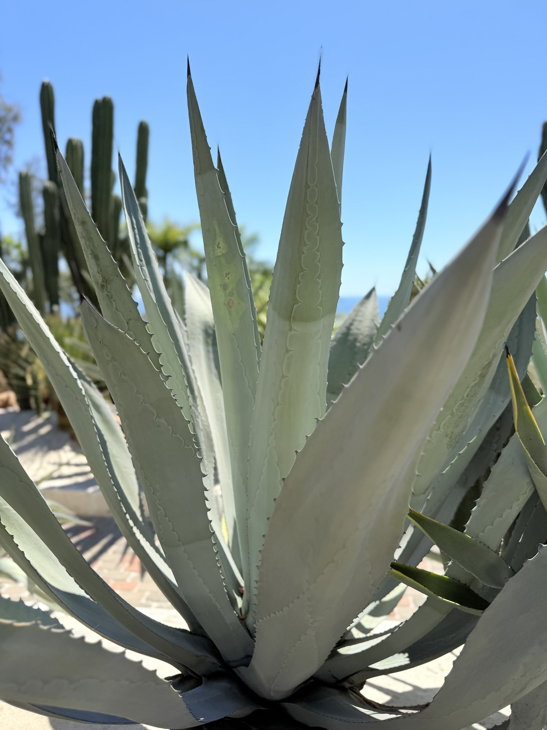
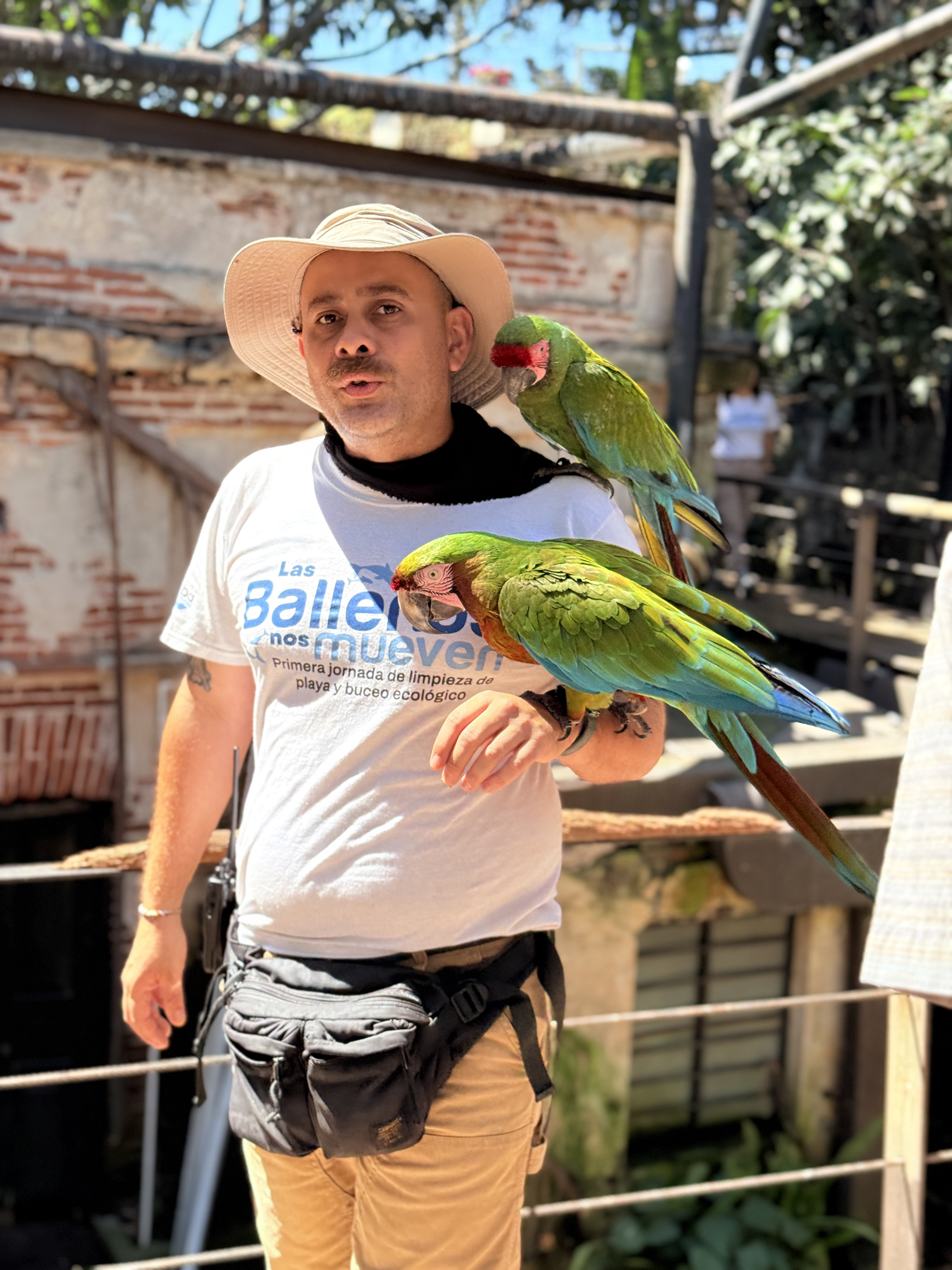
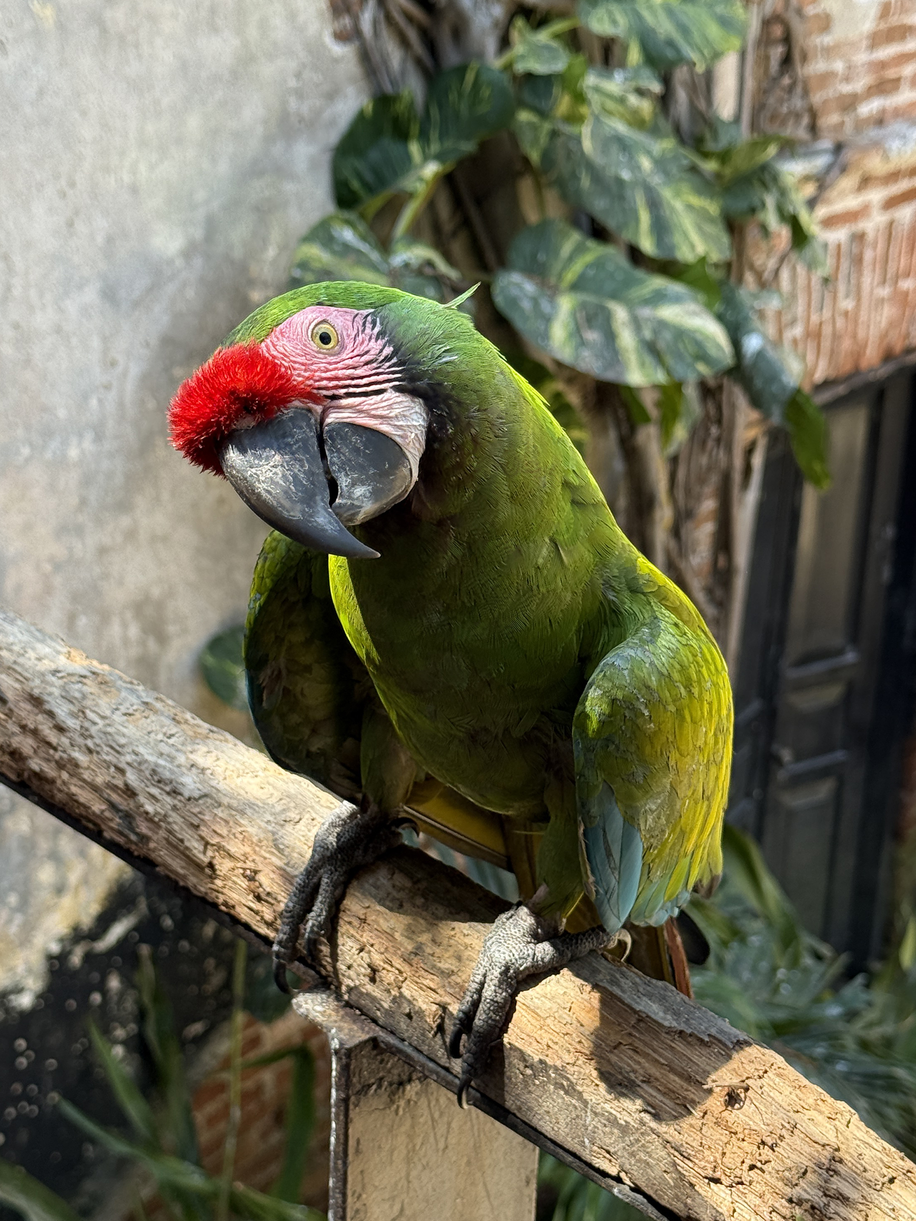
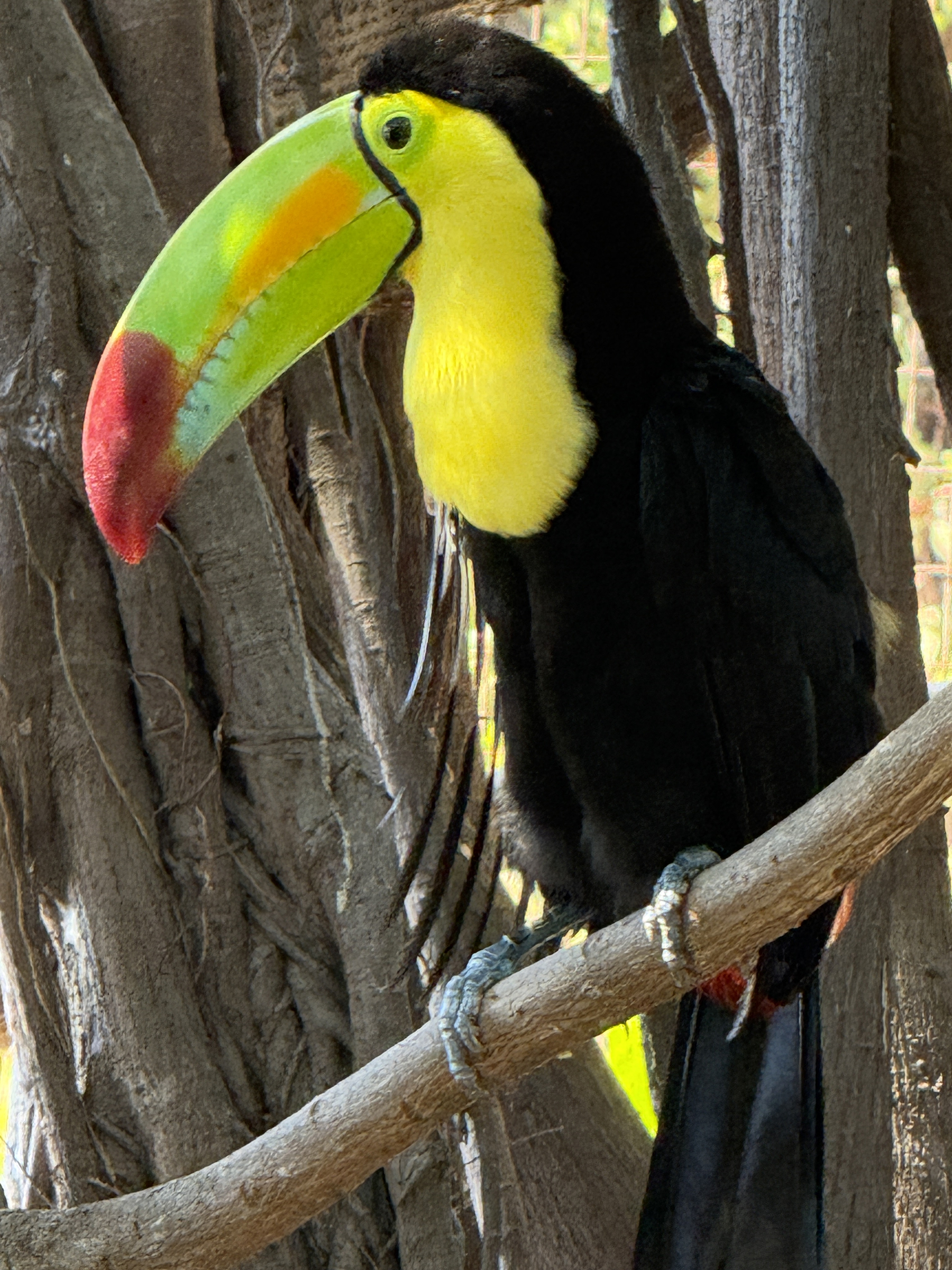
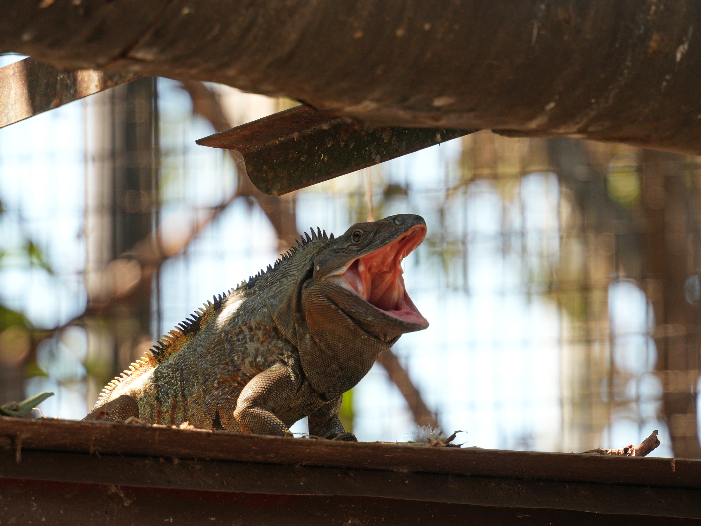
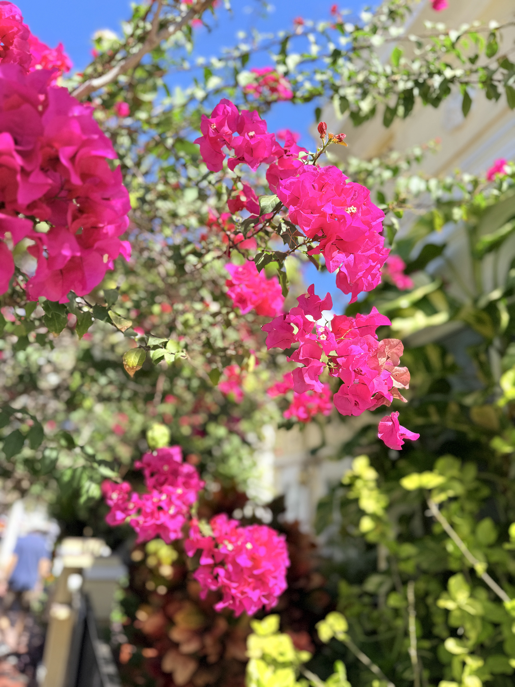
By the observatory there is a small agaviario (a dedicated agave garden) and steps down to a bird sanctuary called El Nido. A few steps further down the hill there is an enclosure with iguanas and tortoises.
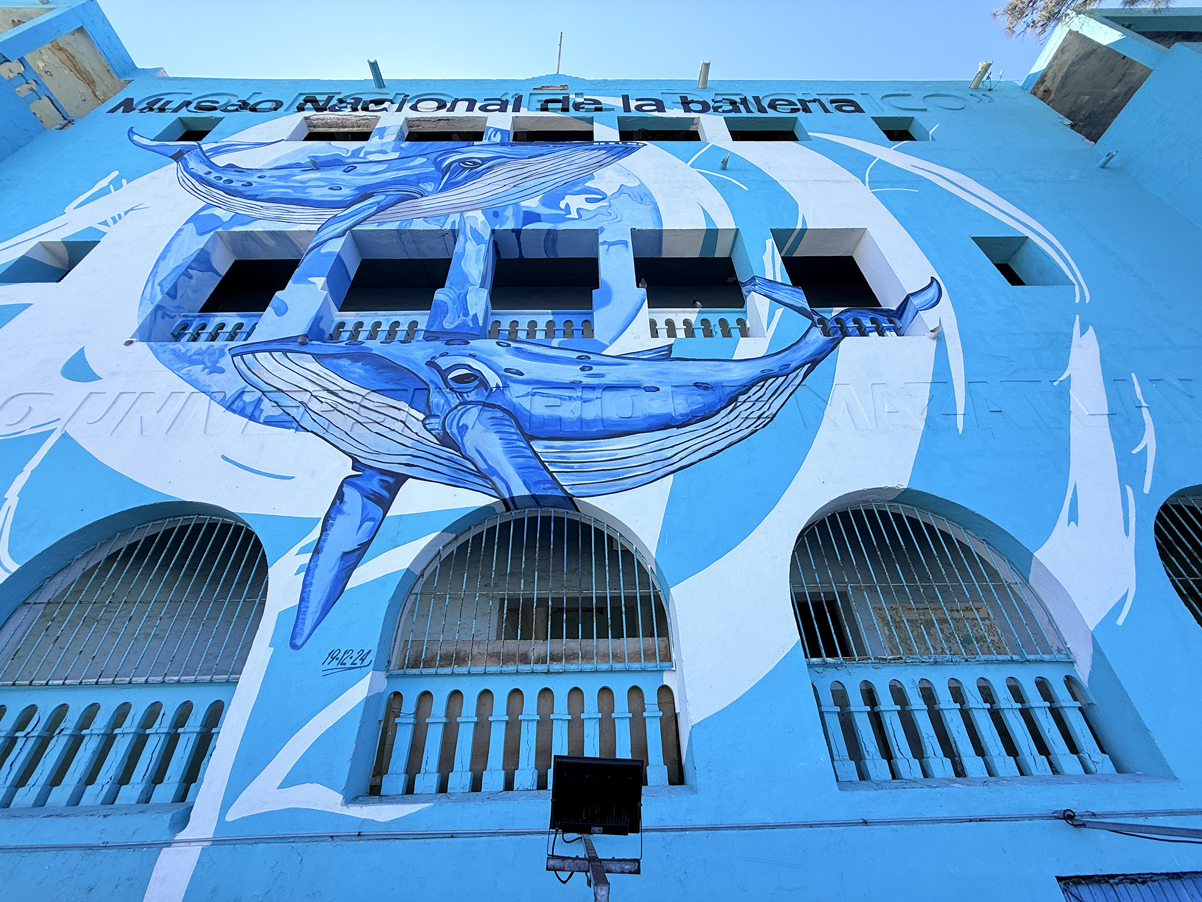
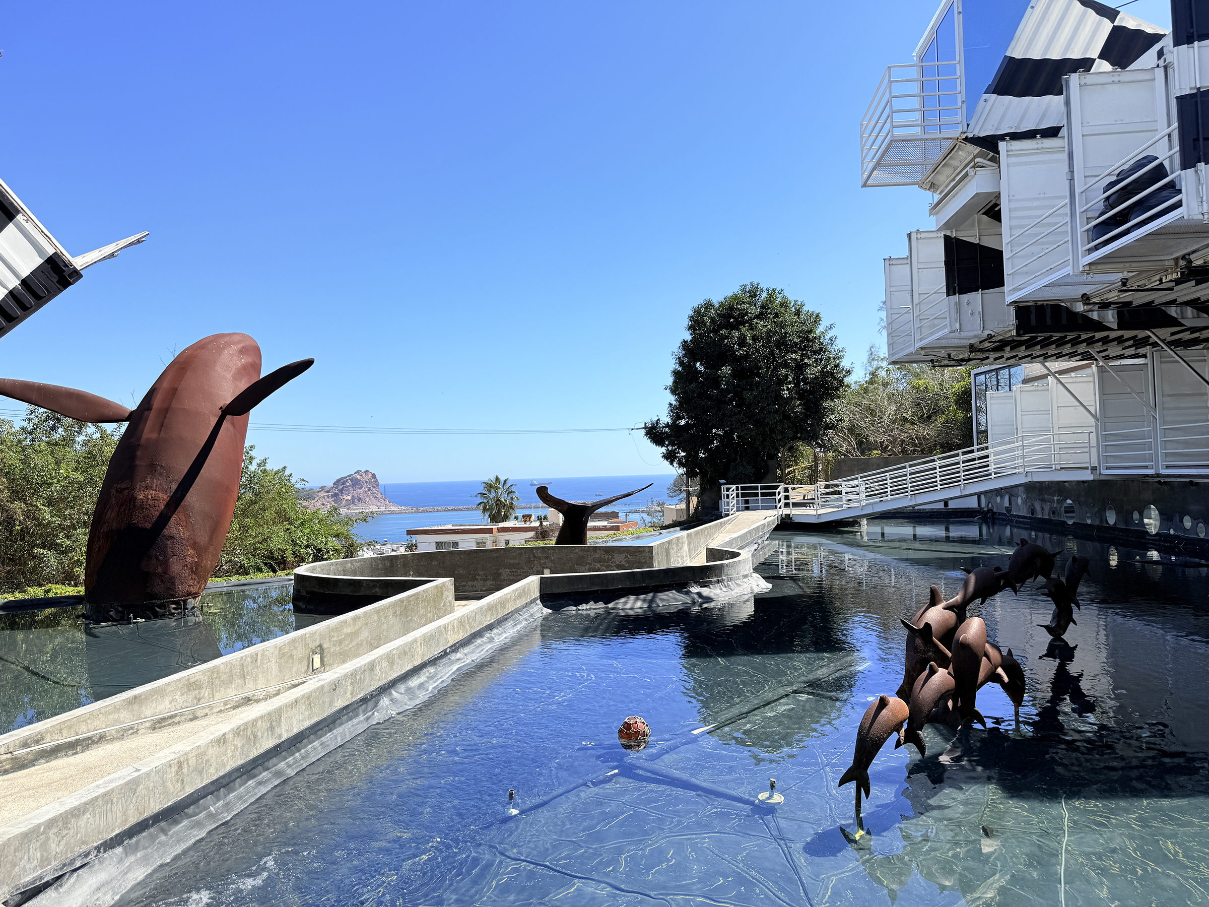
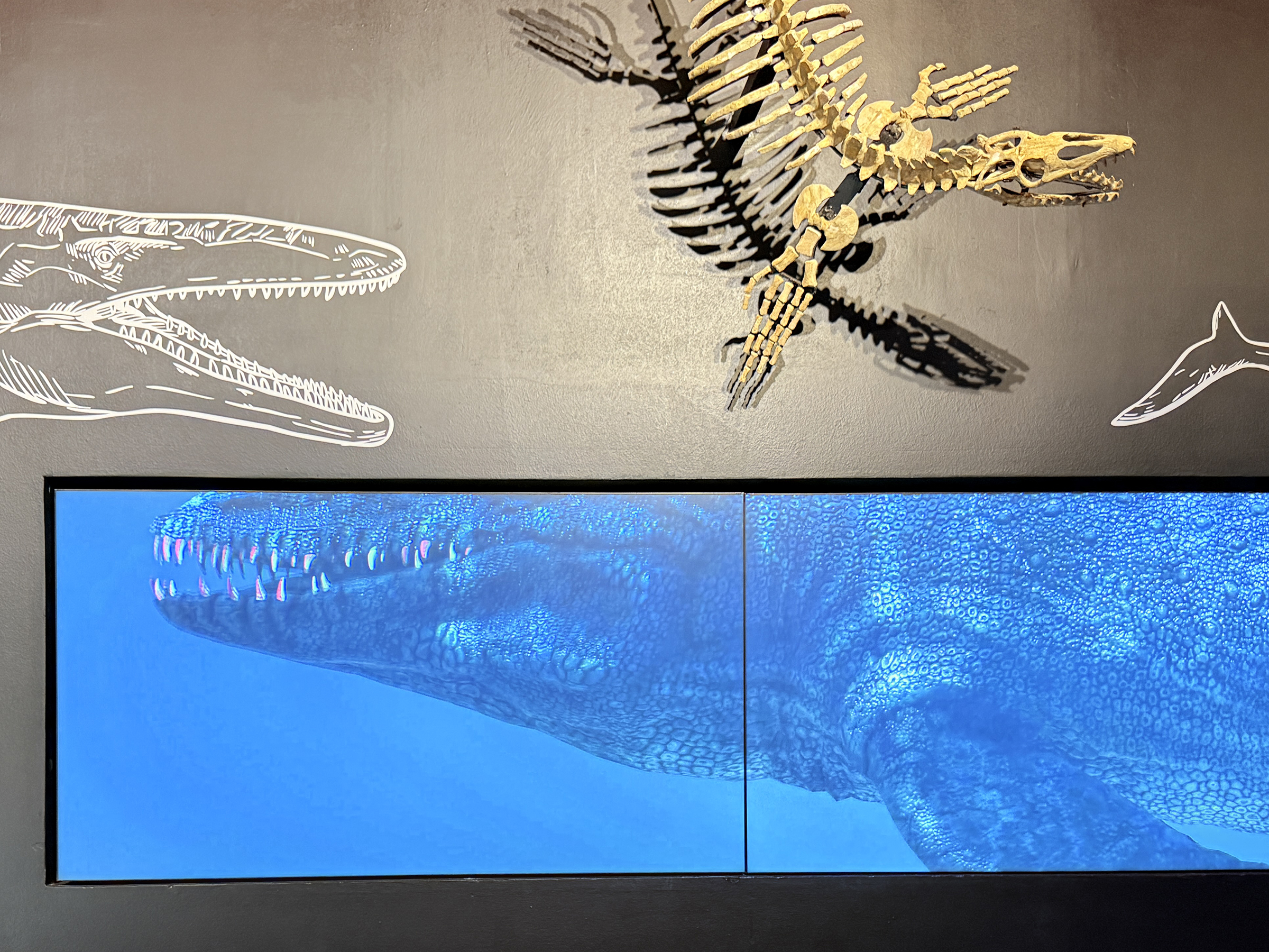
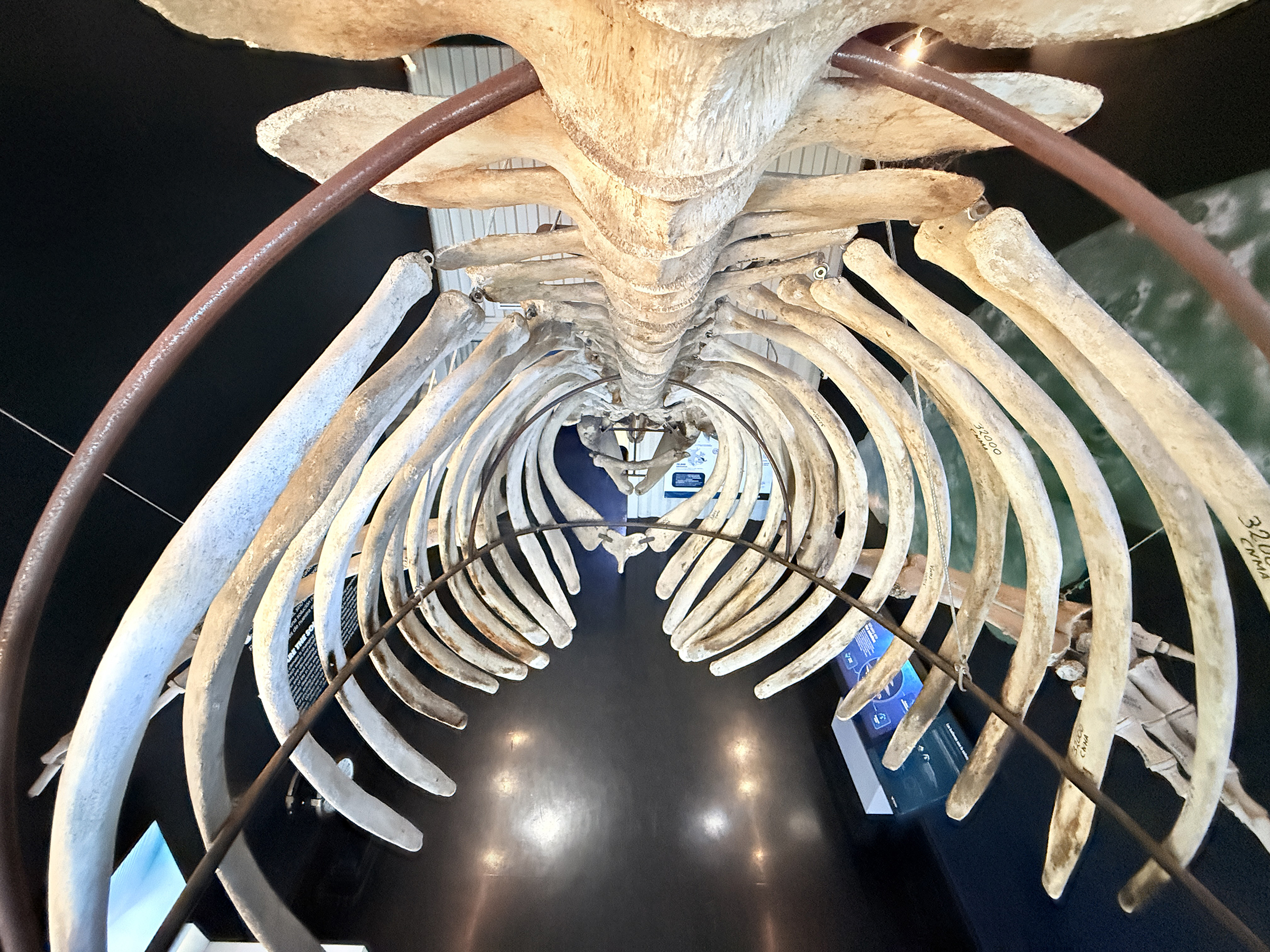
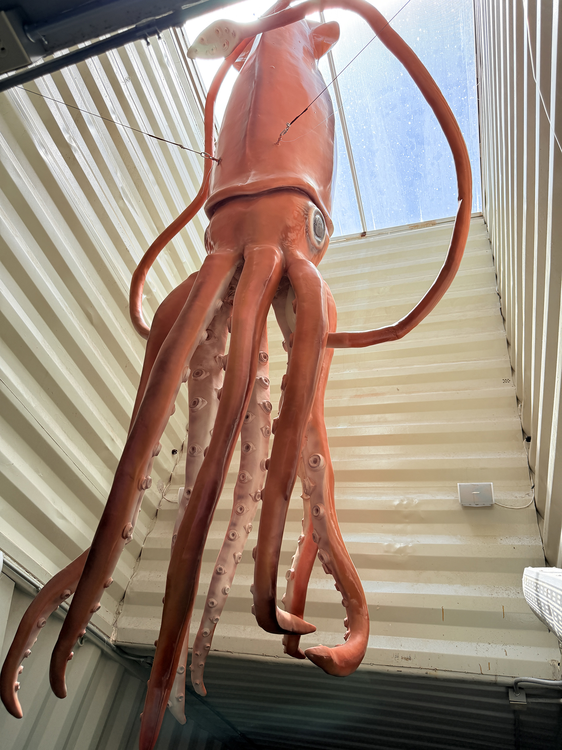
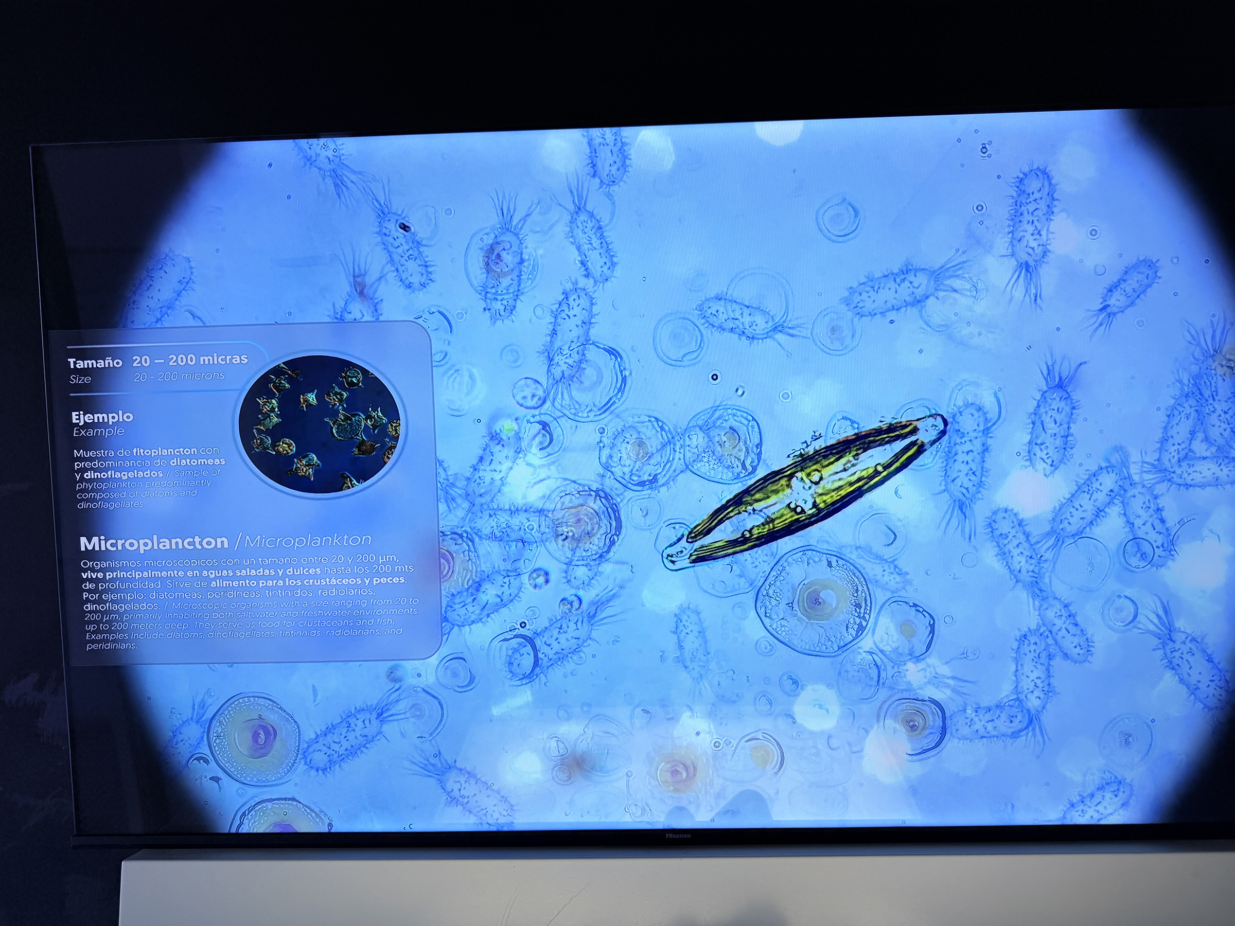
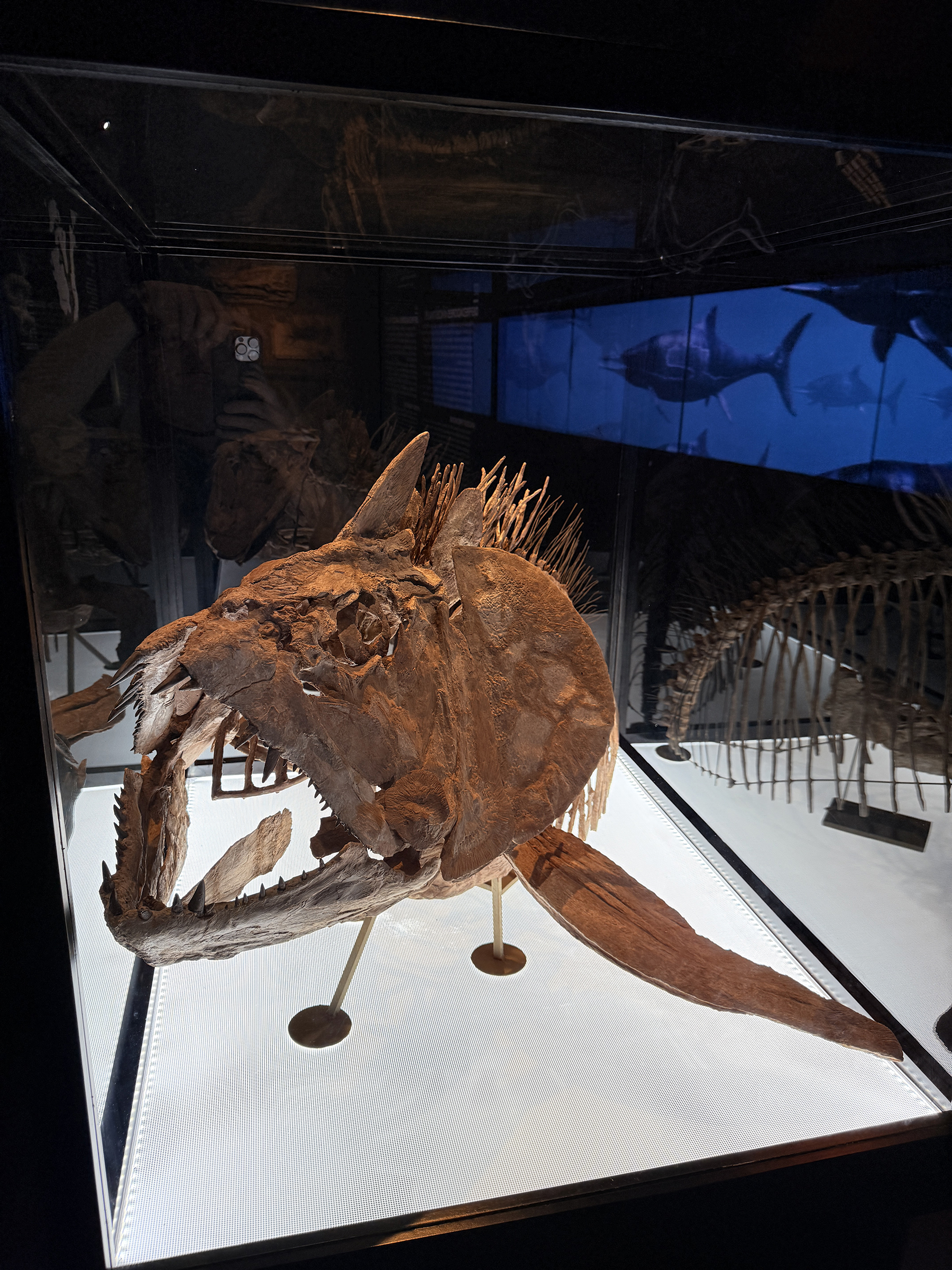
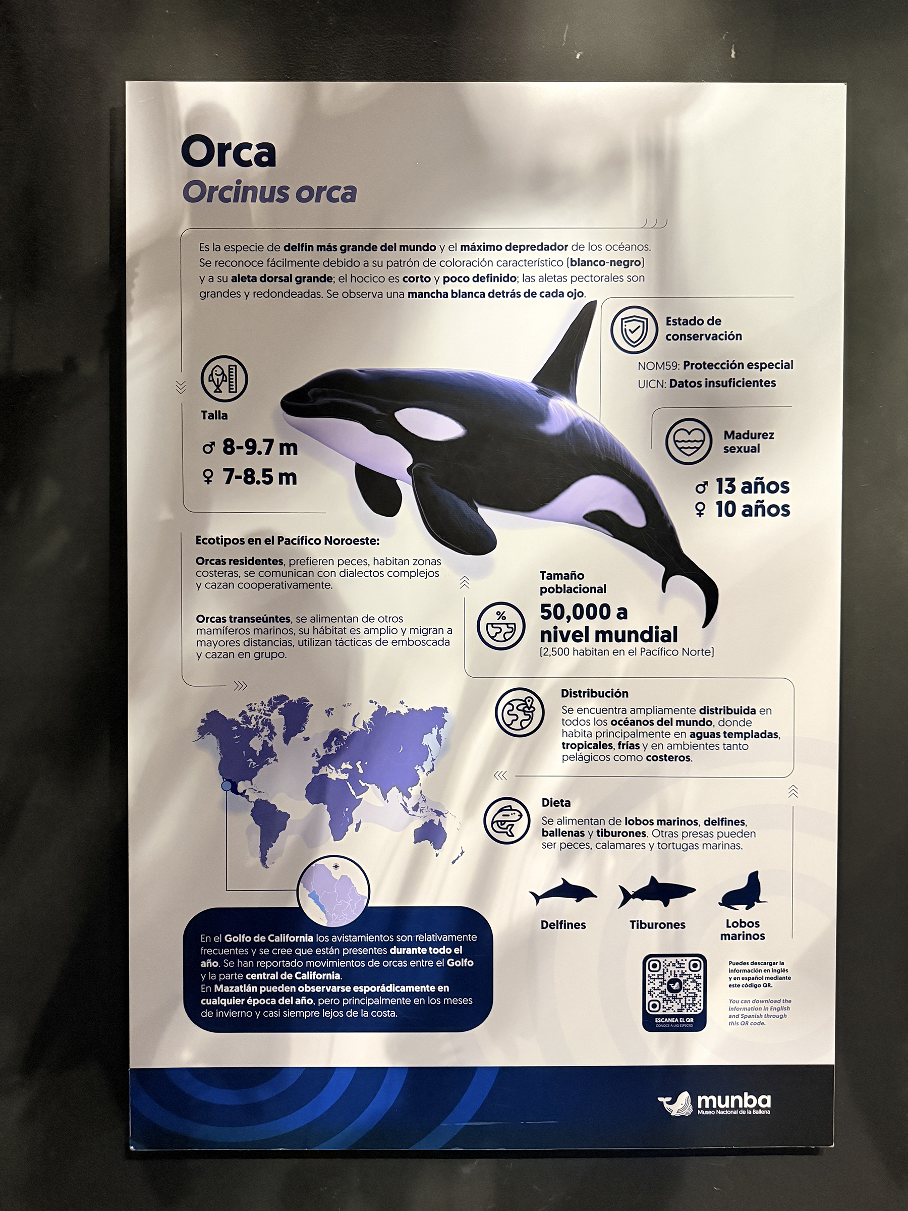
The last stop is the new whale museum called Museo Nacional de la Ballena (National Whale Museum) that opened in August 2025.
(Thanks to Bryan for the picture of the toucan and of the green parrot).
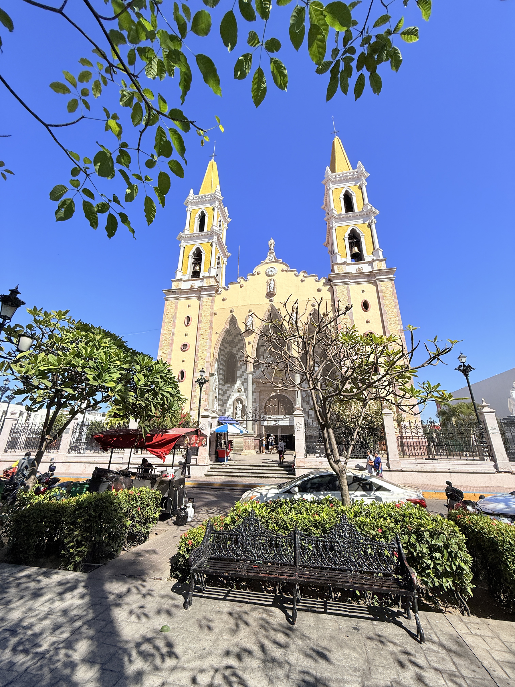
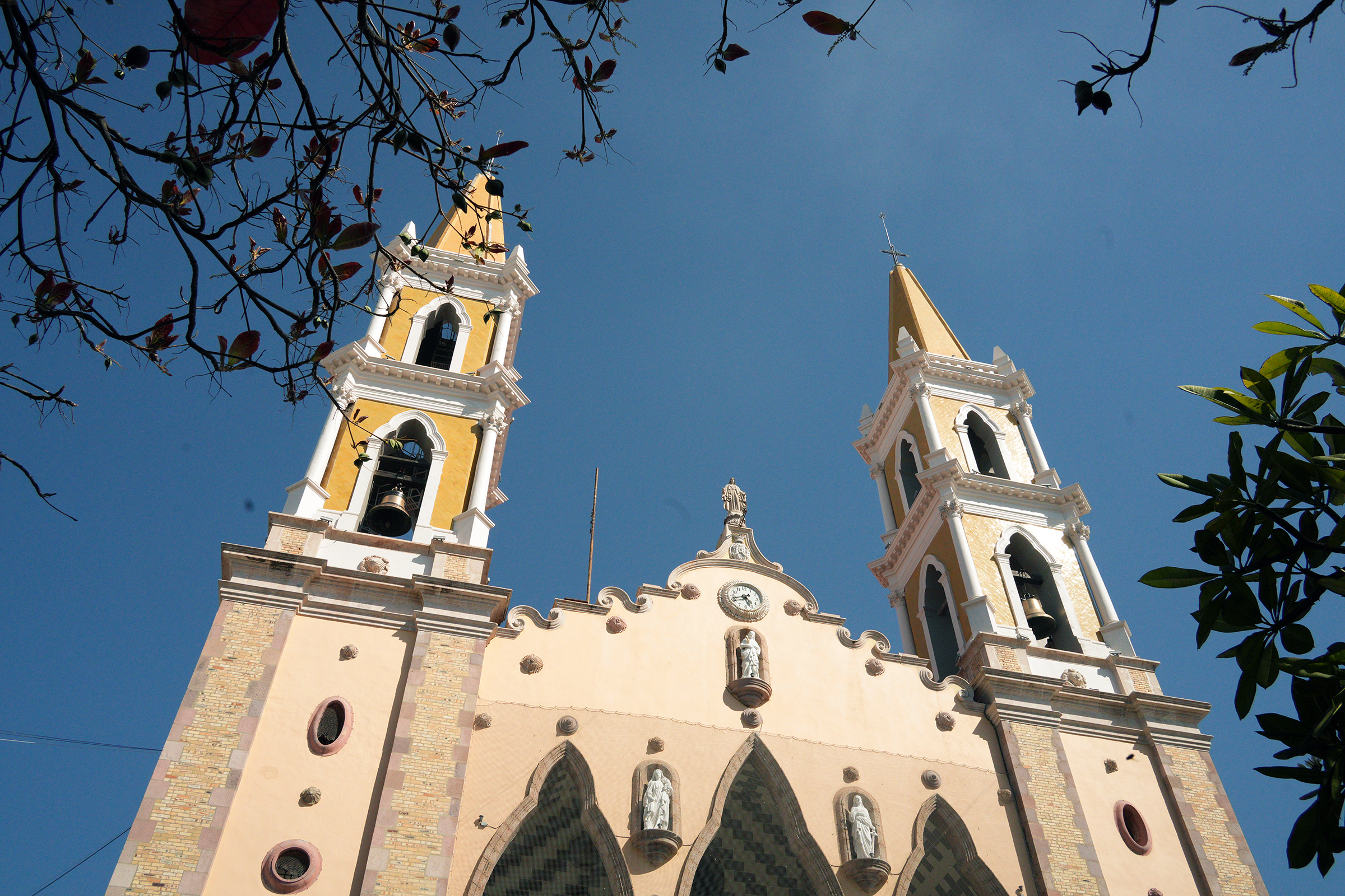
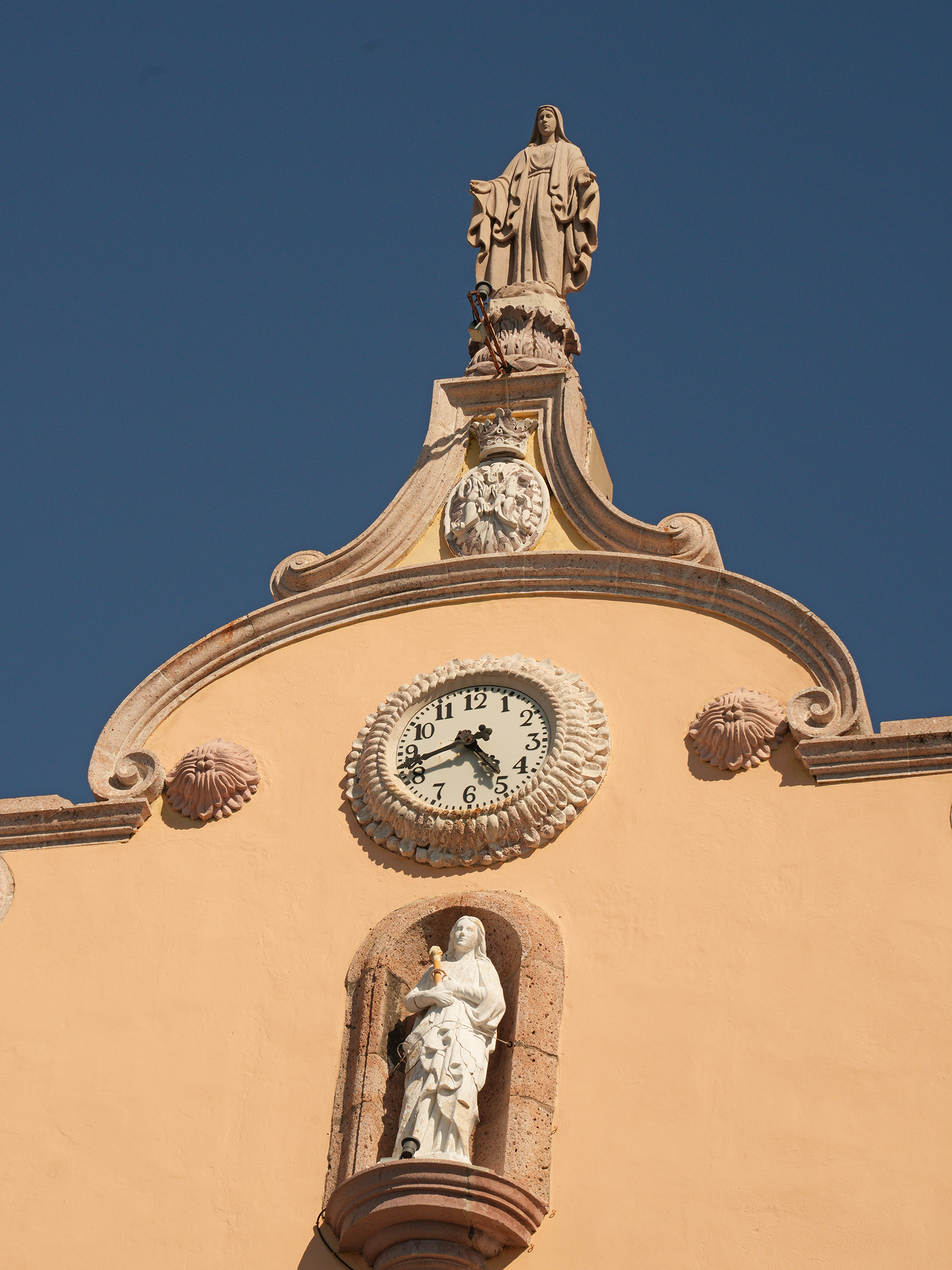
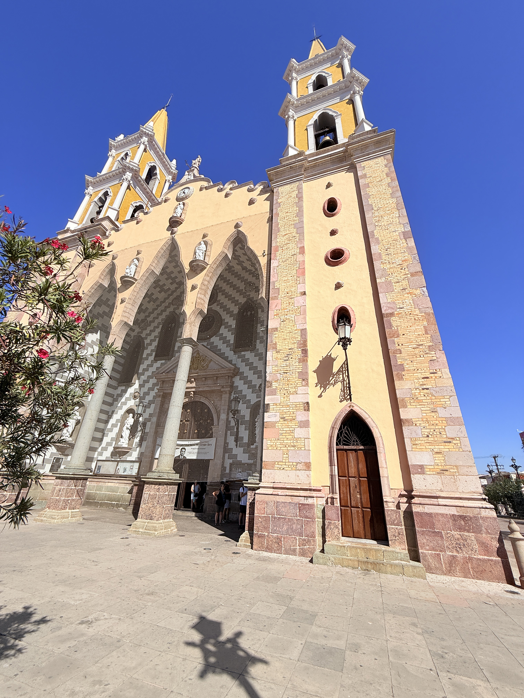
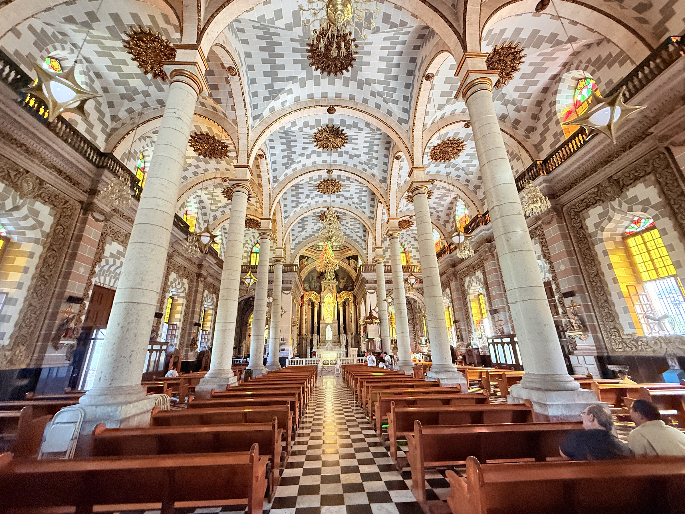
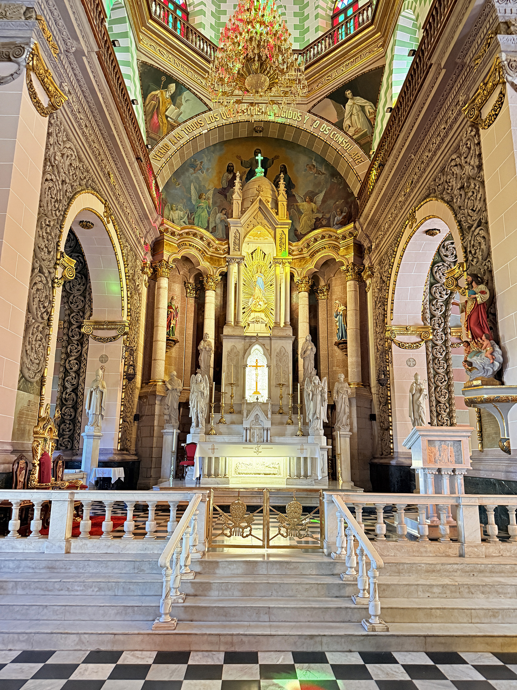
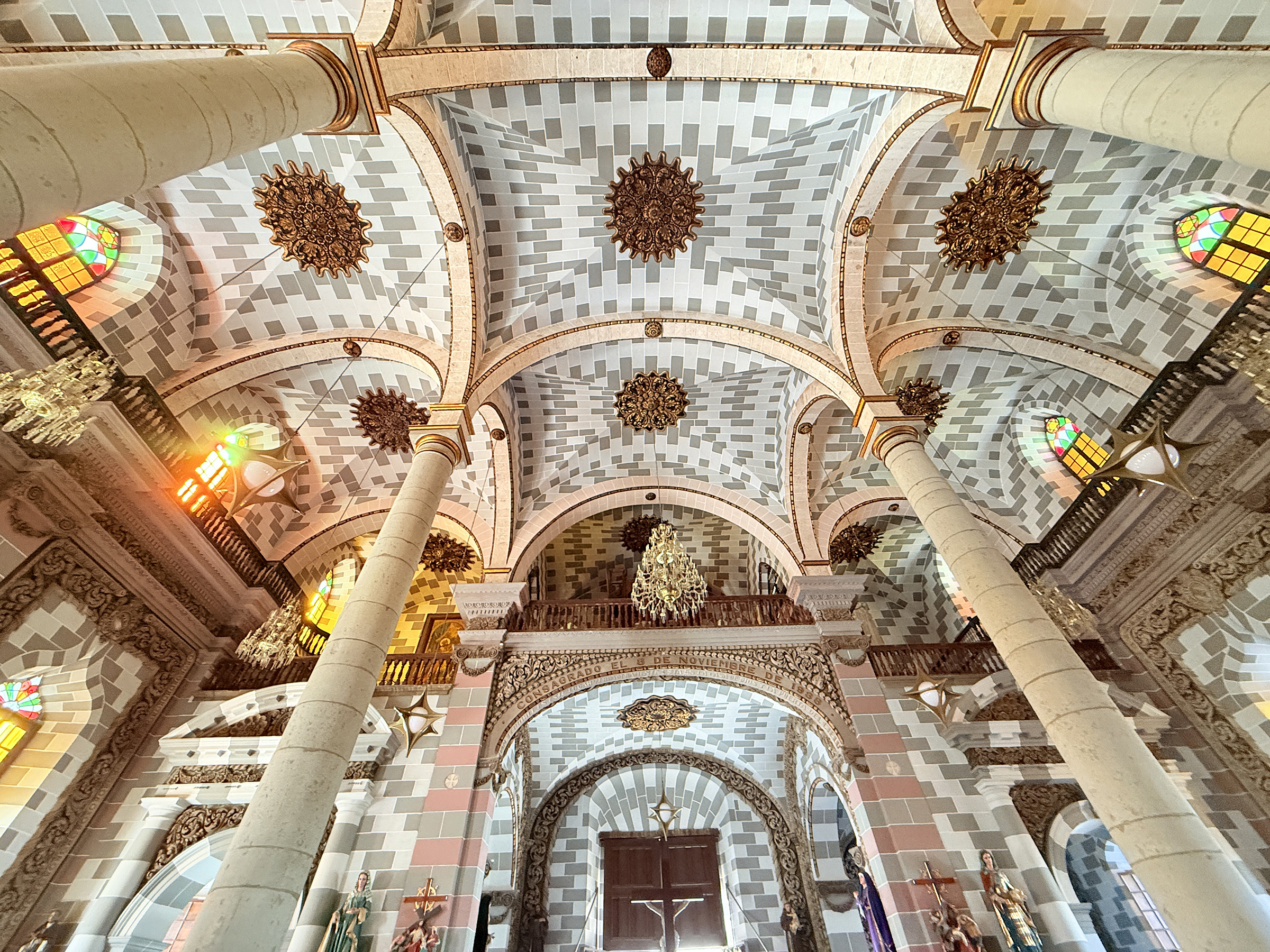
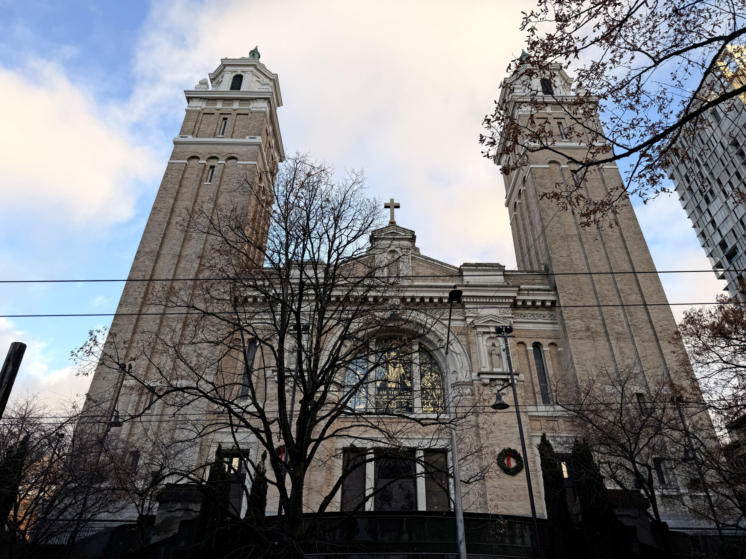
Here is a closer look at the Cathedral Basilica of the Immaculate Conception of Mazatlán (La Catedral Basílica de la Inmaculada Concepción en Mazatlán).
It is a Roman Catholic Church that was built in the Baroque-Revival style from 1856 to 1899. Approximately 78% of Mexico’s population identifies as Catholic, according to the 2020 Mexican government census.
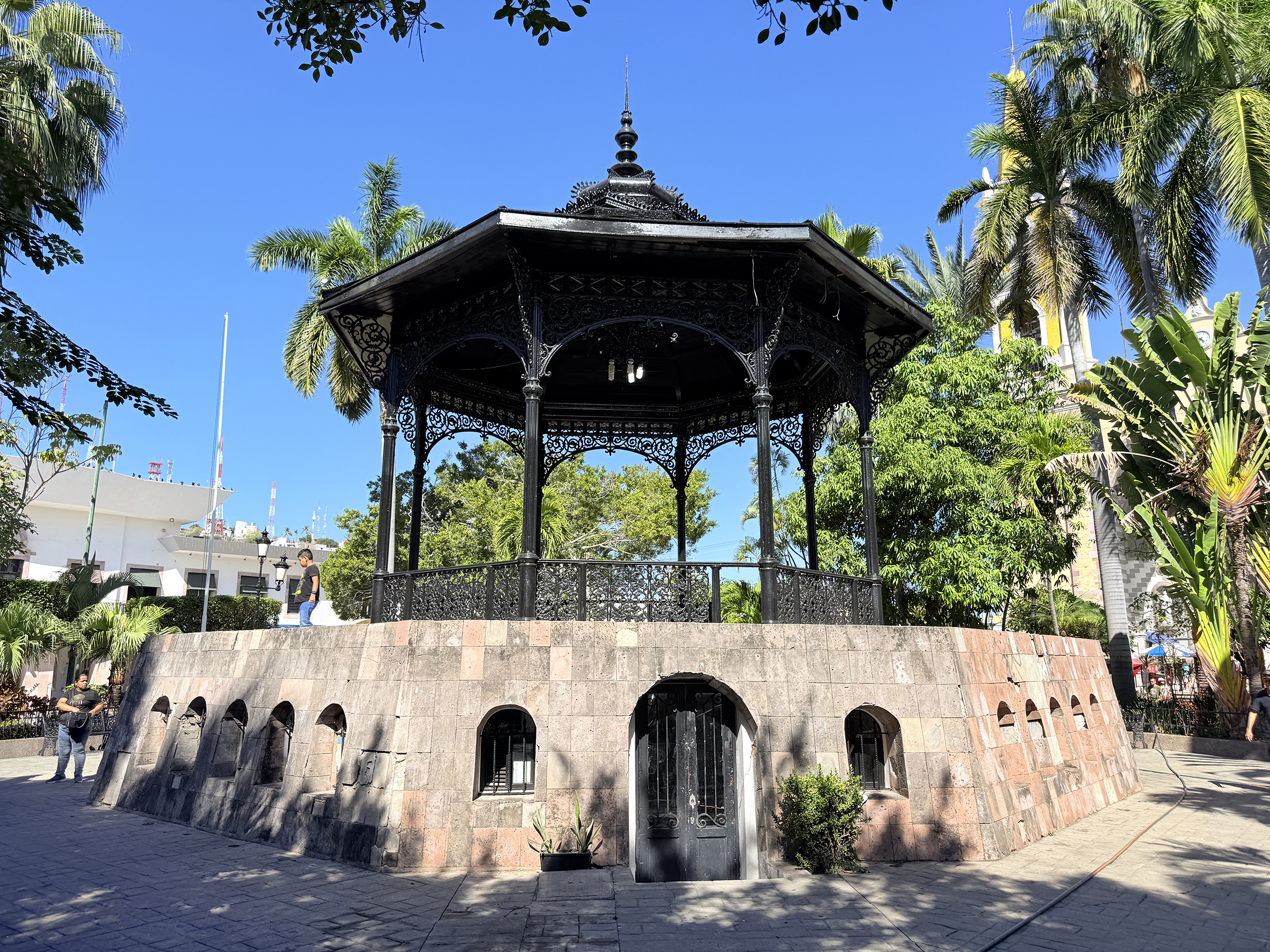
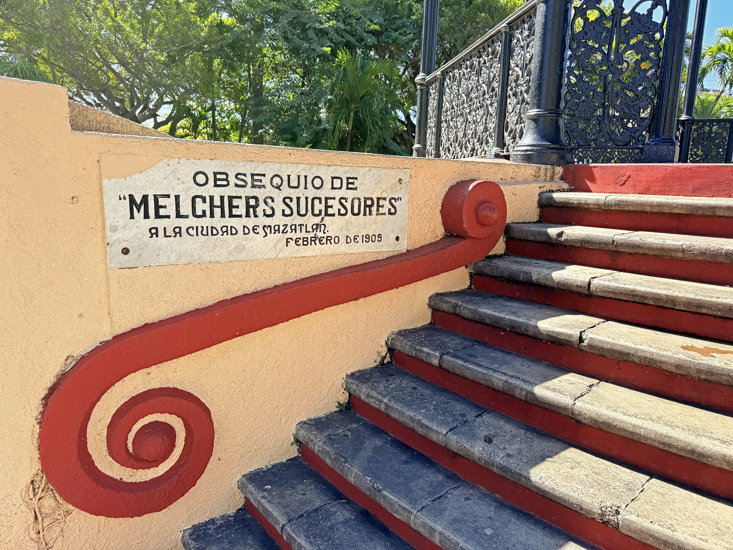
Based on available history for the city’s central public spaces, the notable iron gazebo located in the plaza directly in front of the Cathedral (Plaza República) was built around 1870.
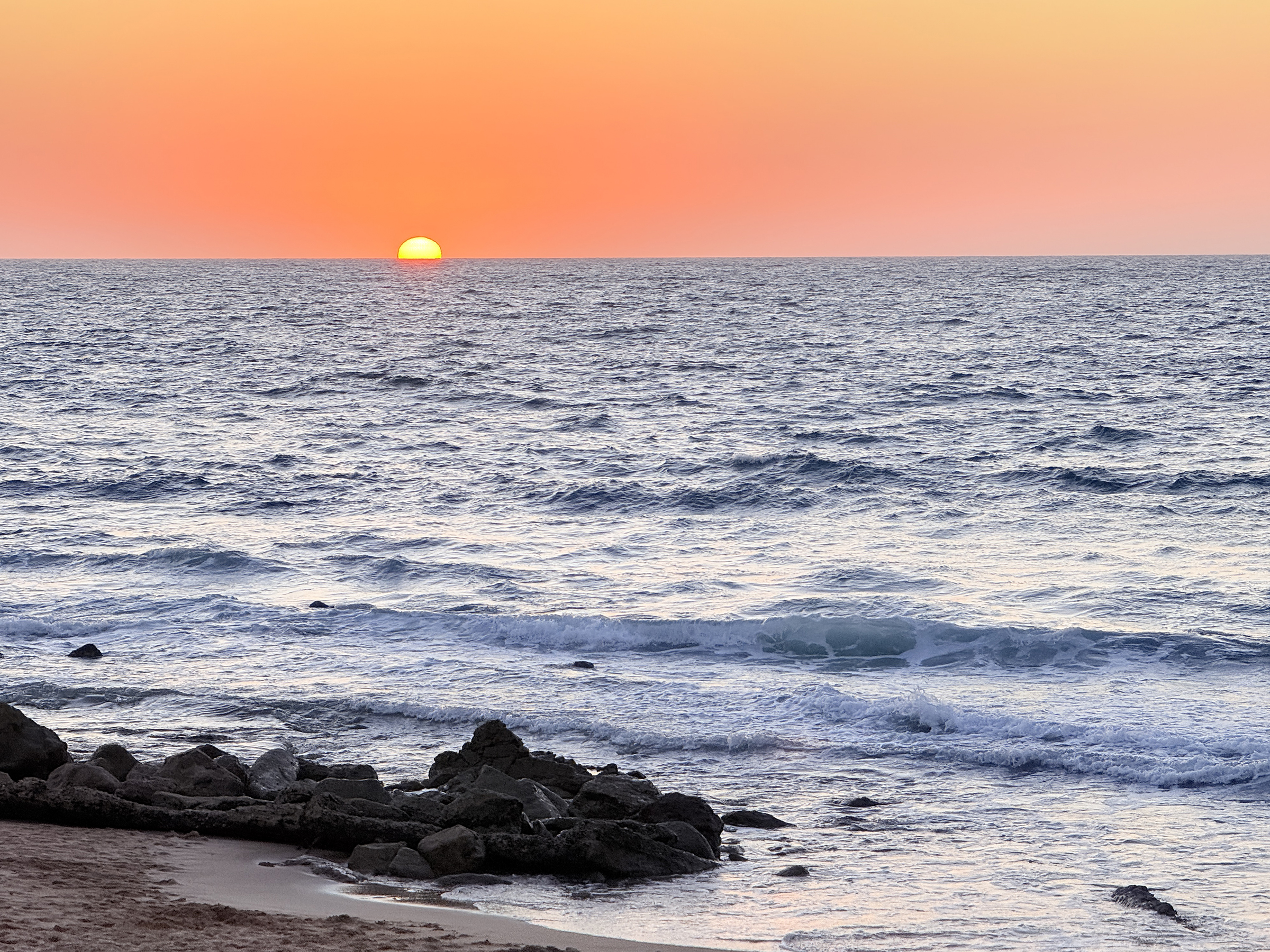
It was another sunny and cloudless day here in Mazatlán (76°F /24°C ).
This morning, we went for a walk up the main lookout hill here on the shoreline (Cerro del Vigía).
This afternoon, we ran out to the local Sam’s Club (warehouse grocery store) for grocery shopping. We went there by bus and came back with a little Uber car with its trunk and back seat full of groceries.
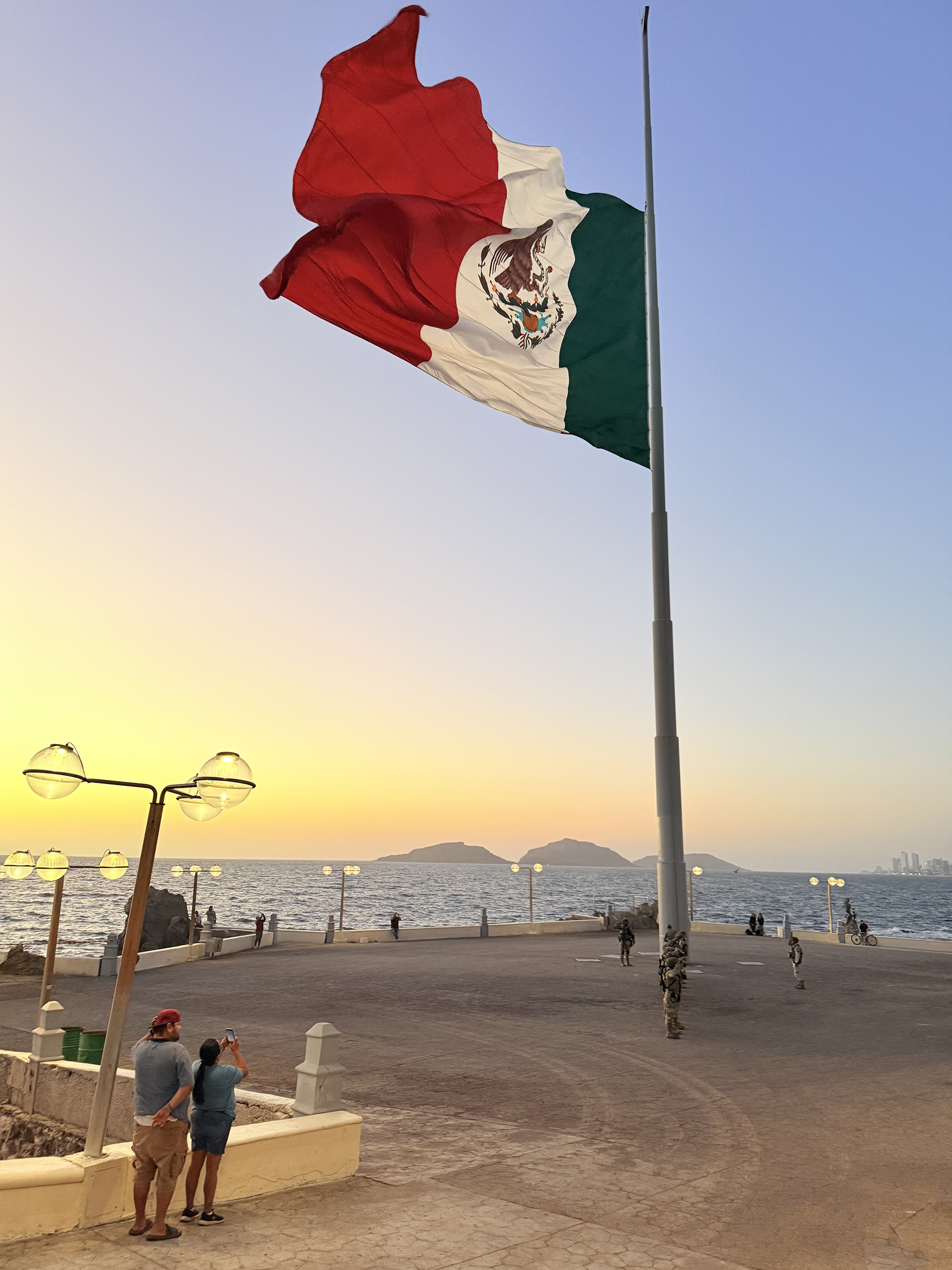
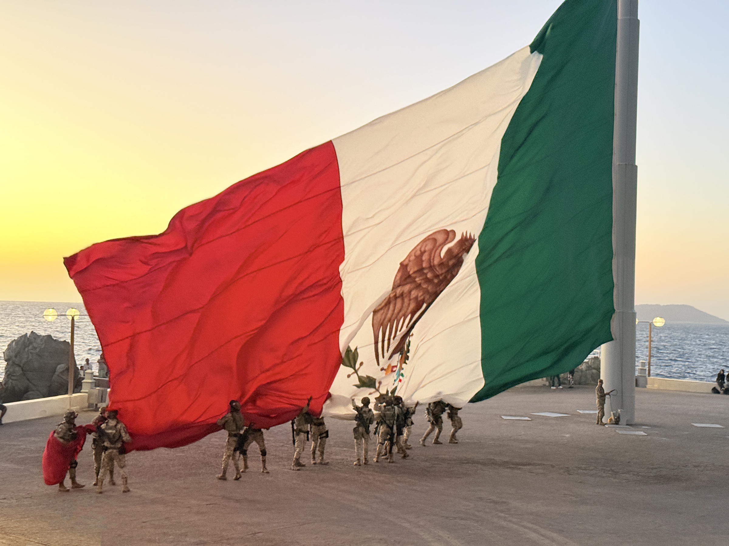
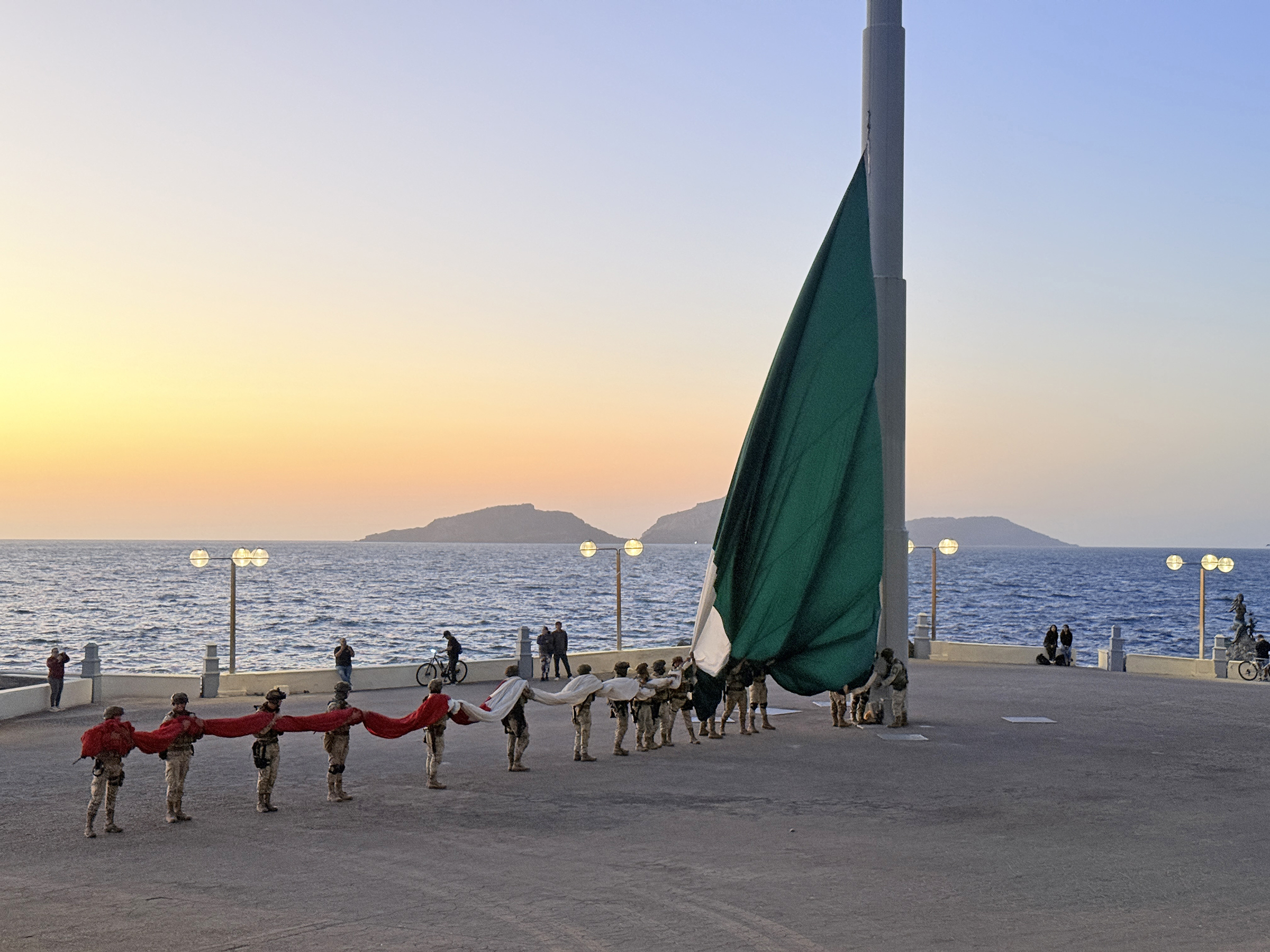
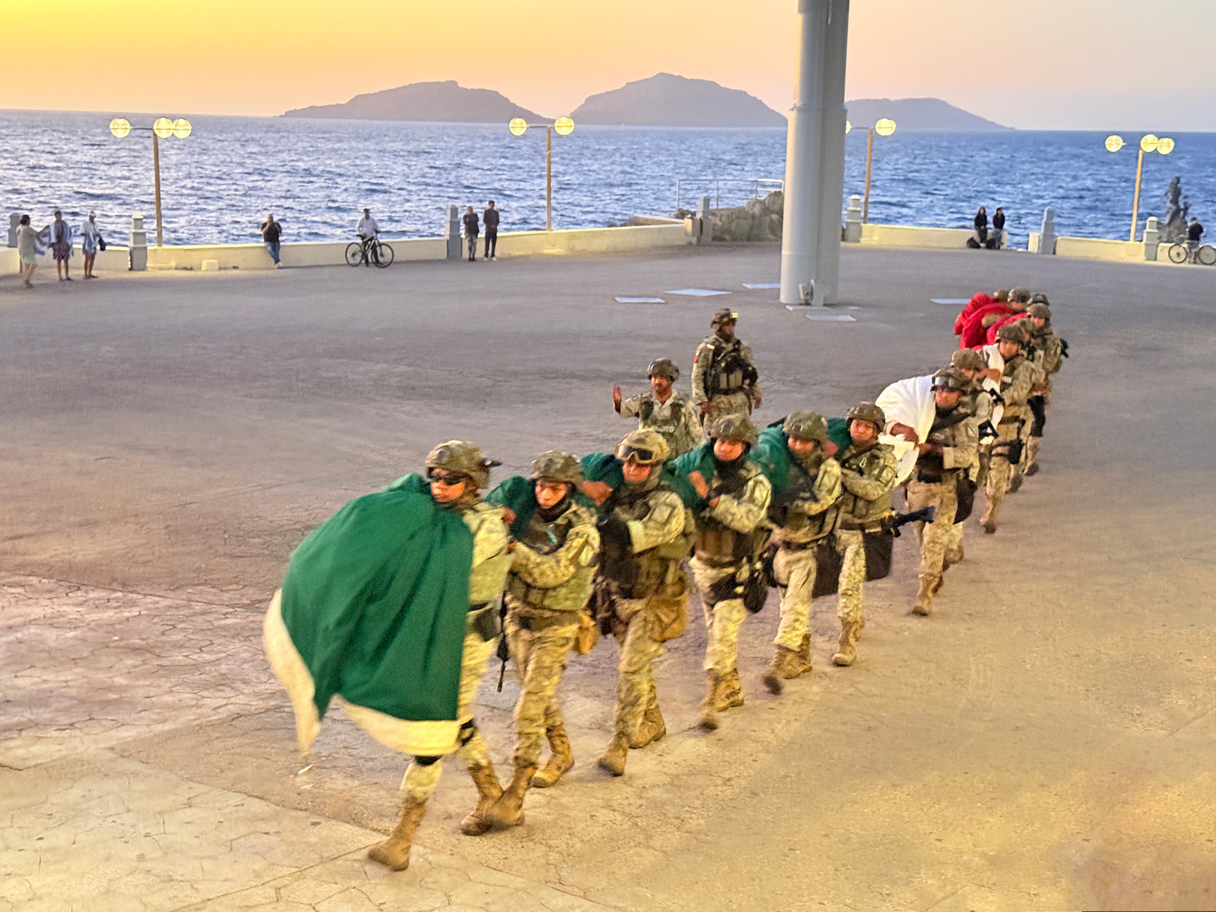
It just happened to be Día de la Bandera— National Flag Day— today here in Mexico.
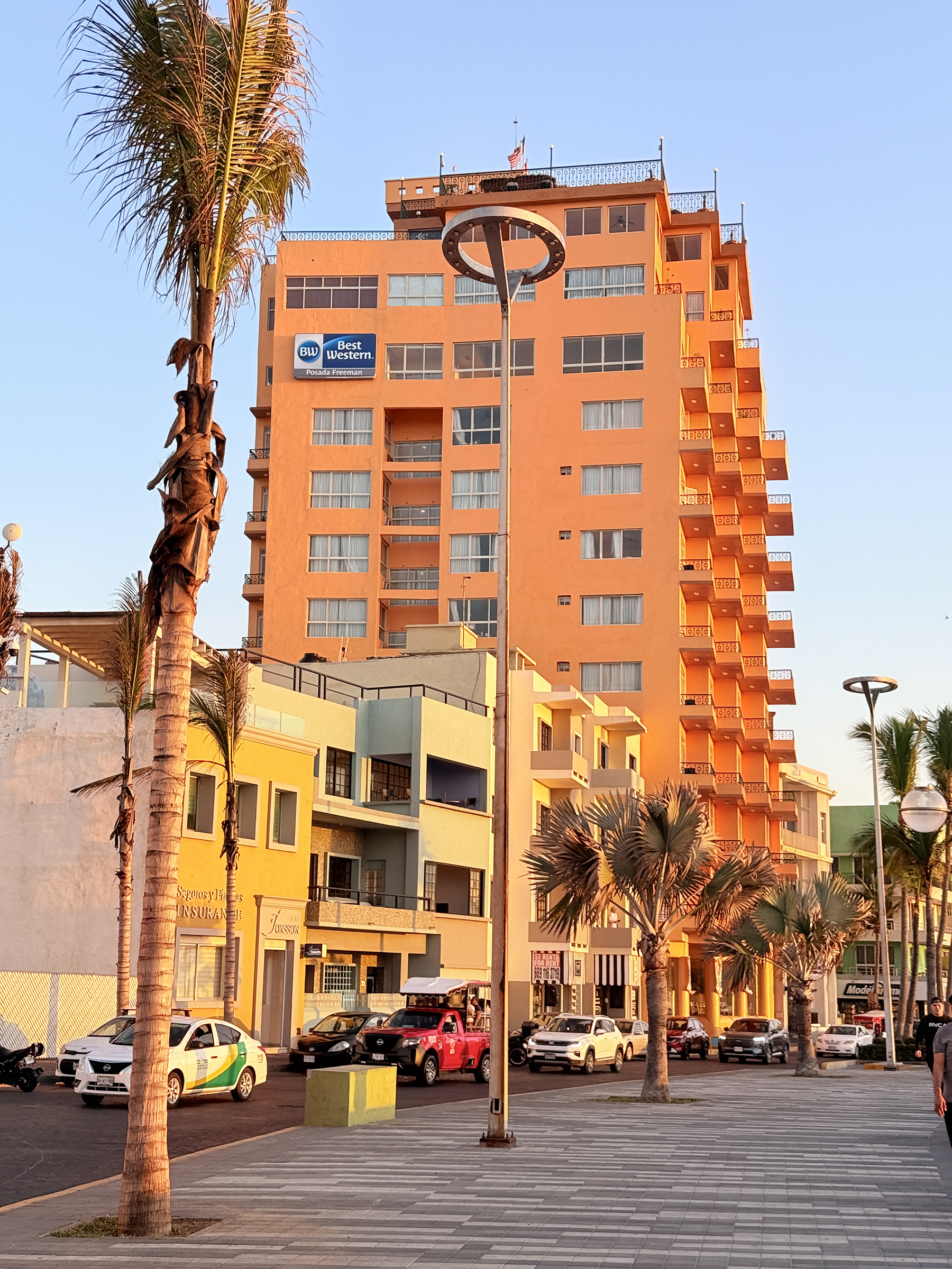
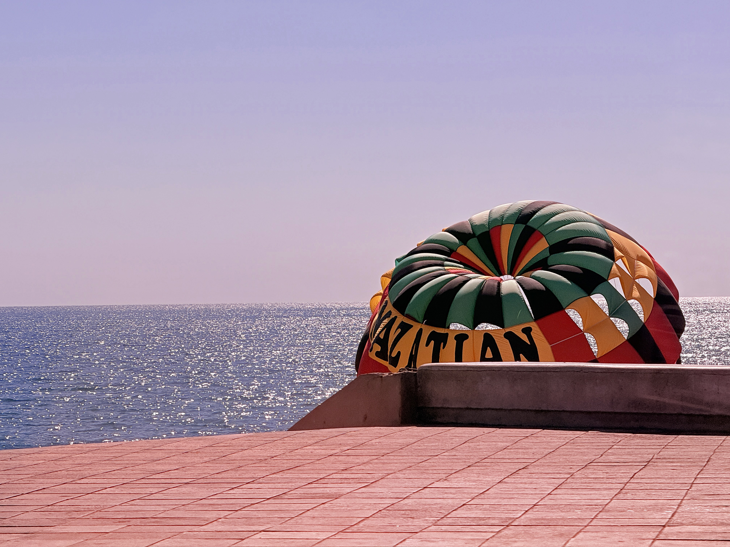
While catching the sunset at the Olas Altas beach by Centro de Mazatlán, we spotted the giant Mexican flag on the flagpole way down along the promenade (the far left in the second picture)—a rare treat since it’s only up a few days each year.
We reached it in the nick of time, just as the flag was being lowered and taken away.
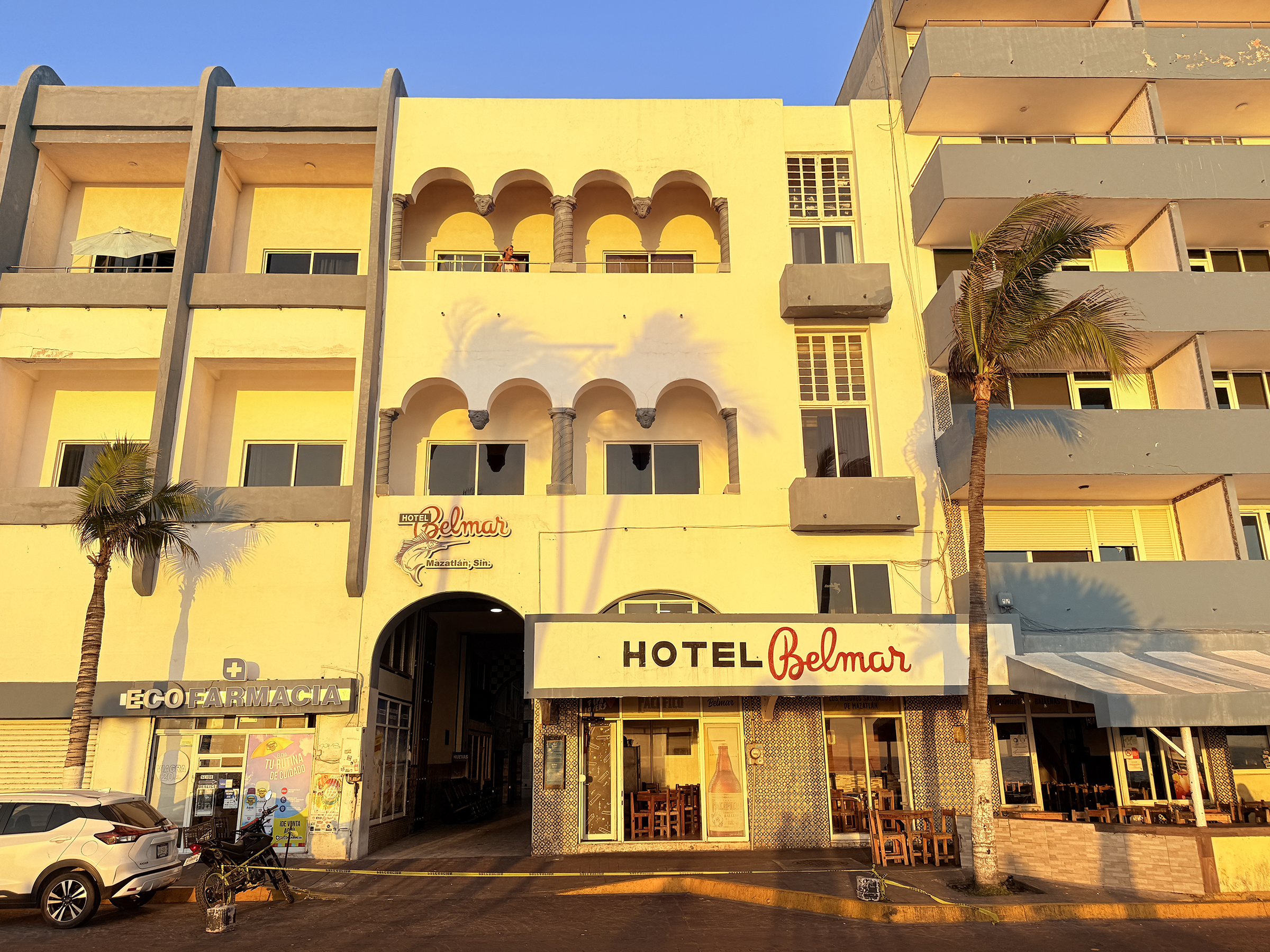
P.S. Built in the early 1920s (often cited as 1919–1920) by Californian Louis Bradbury, Hotel Belmar is Mazatlán’s original oceanfront hotel, representing the city’s golden age. Located on the Olas Altas boardwalk, it was a 1940s/50s hot spot for Hollywood stars like John Wayne and Lucille Ball, known for its elegant, historic, and slightly bohemian atmosphere.
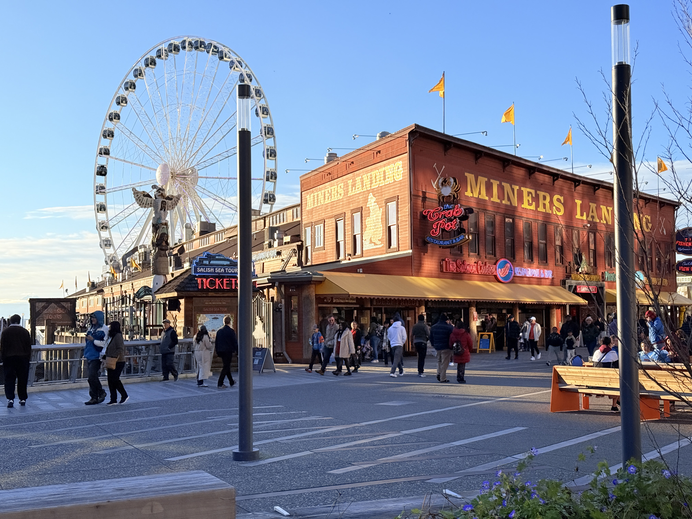
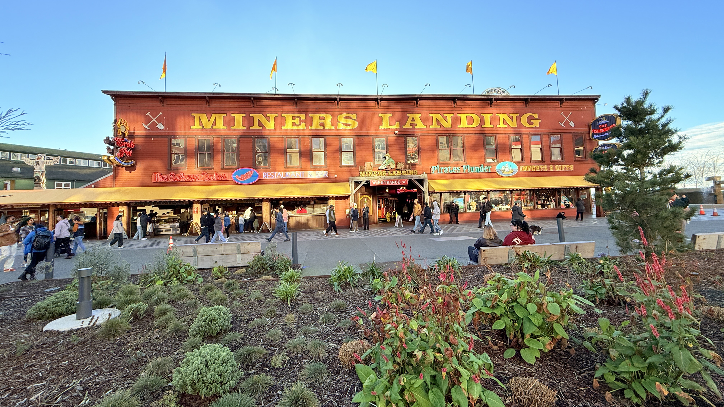
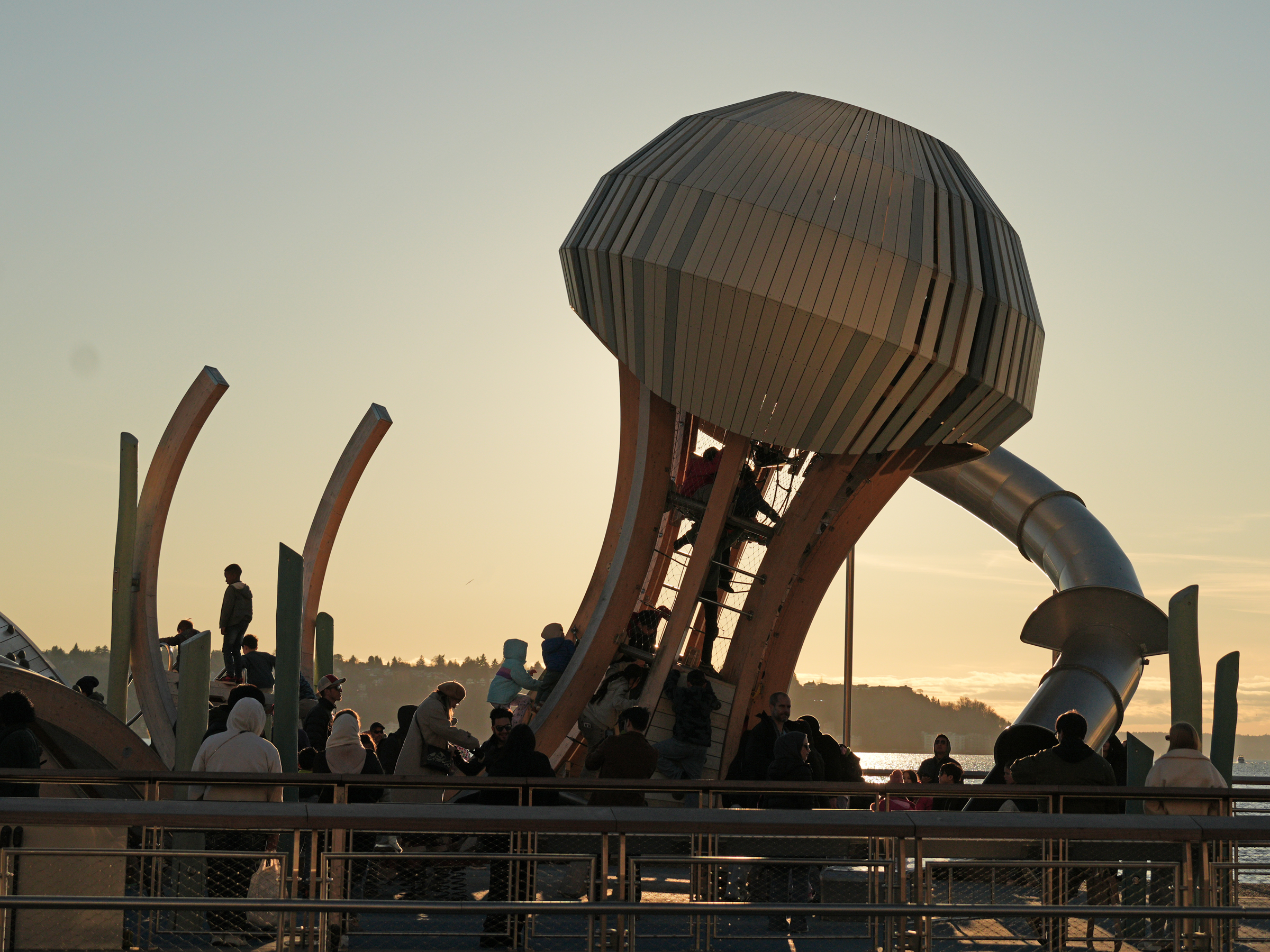
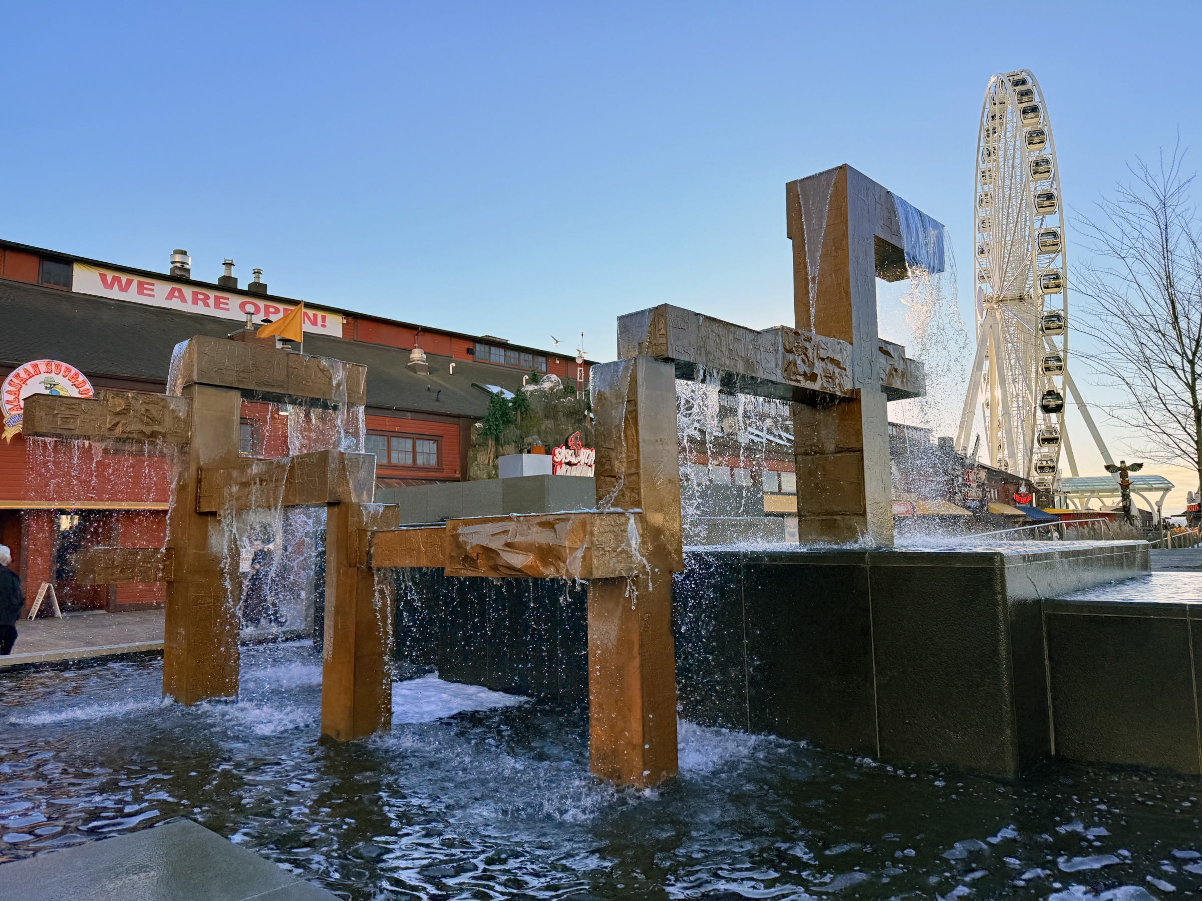
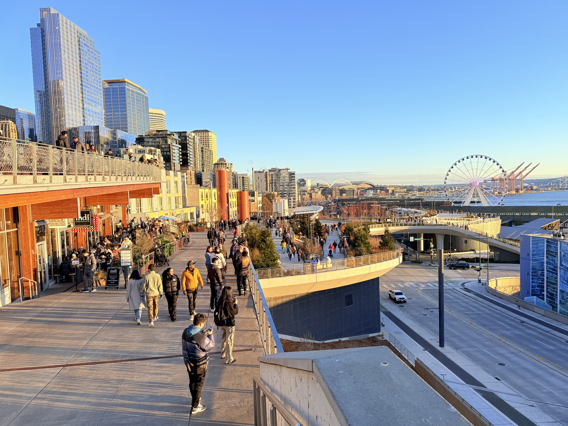
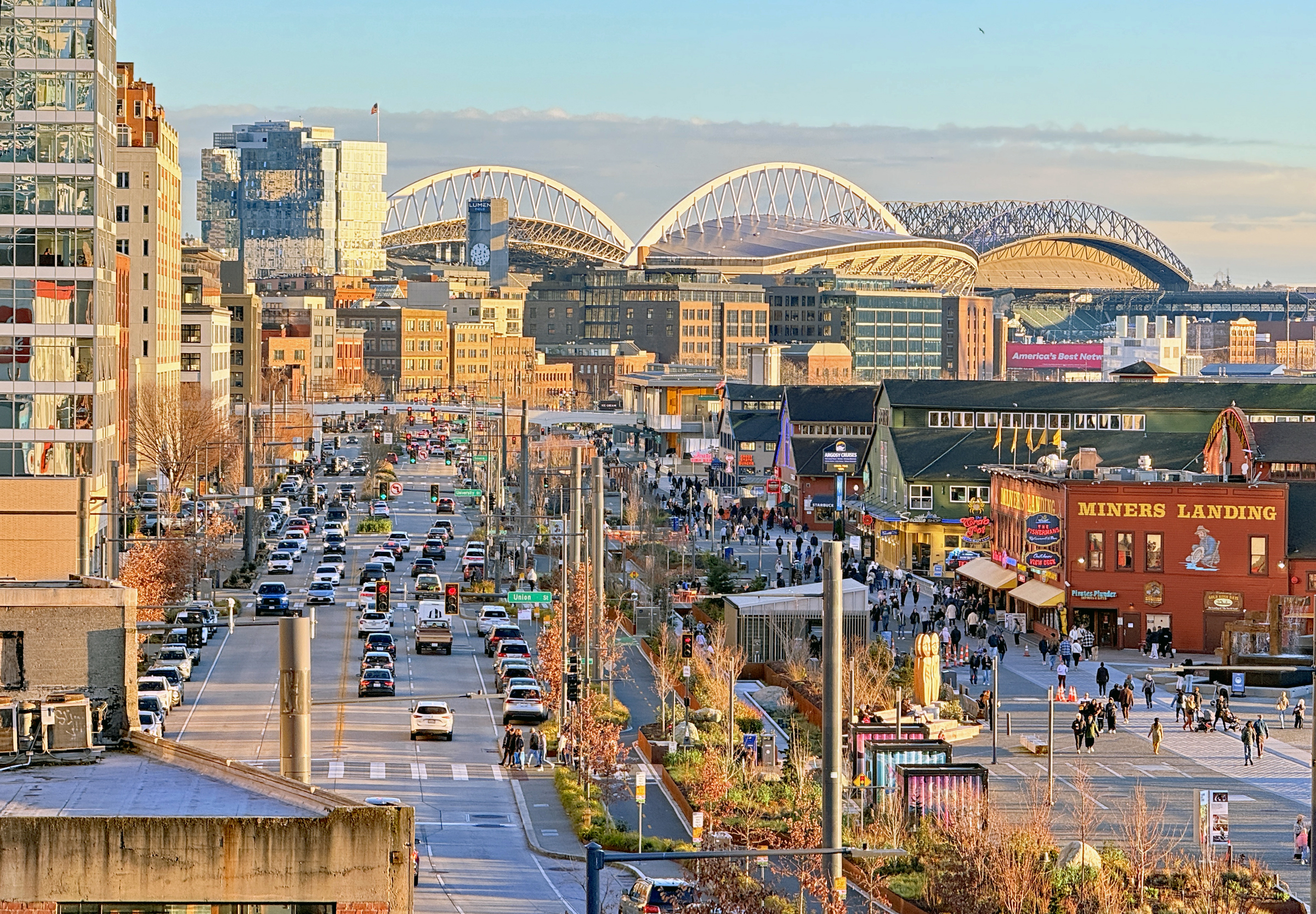
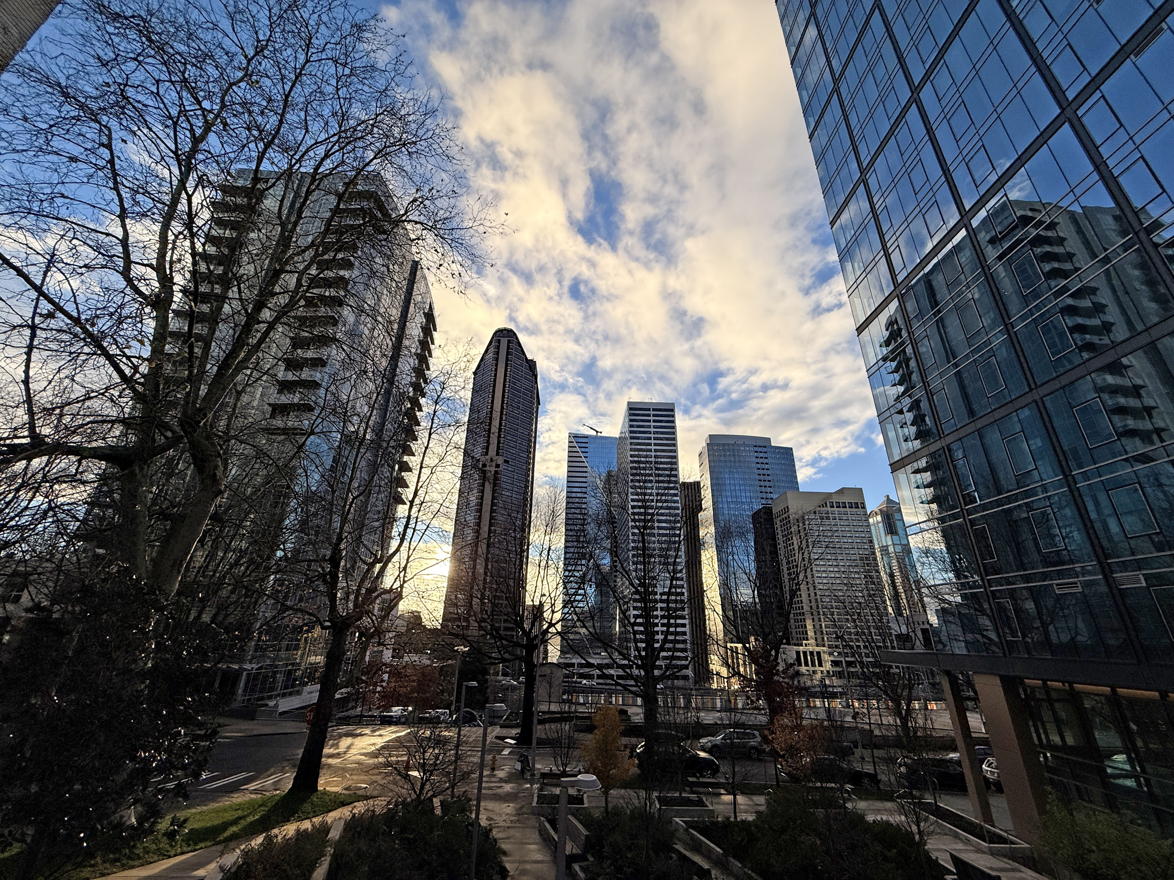
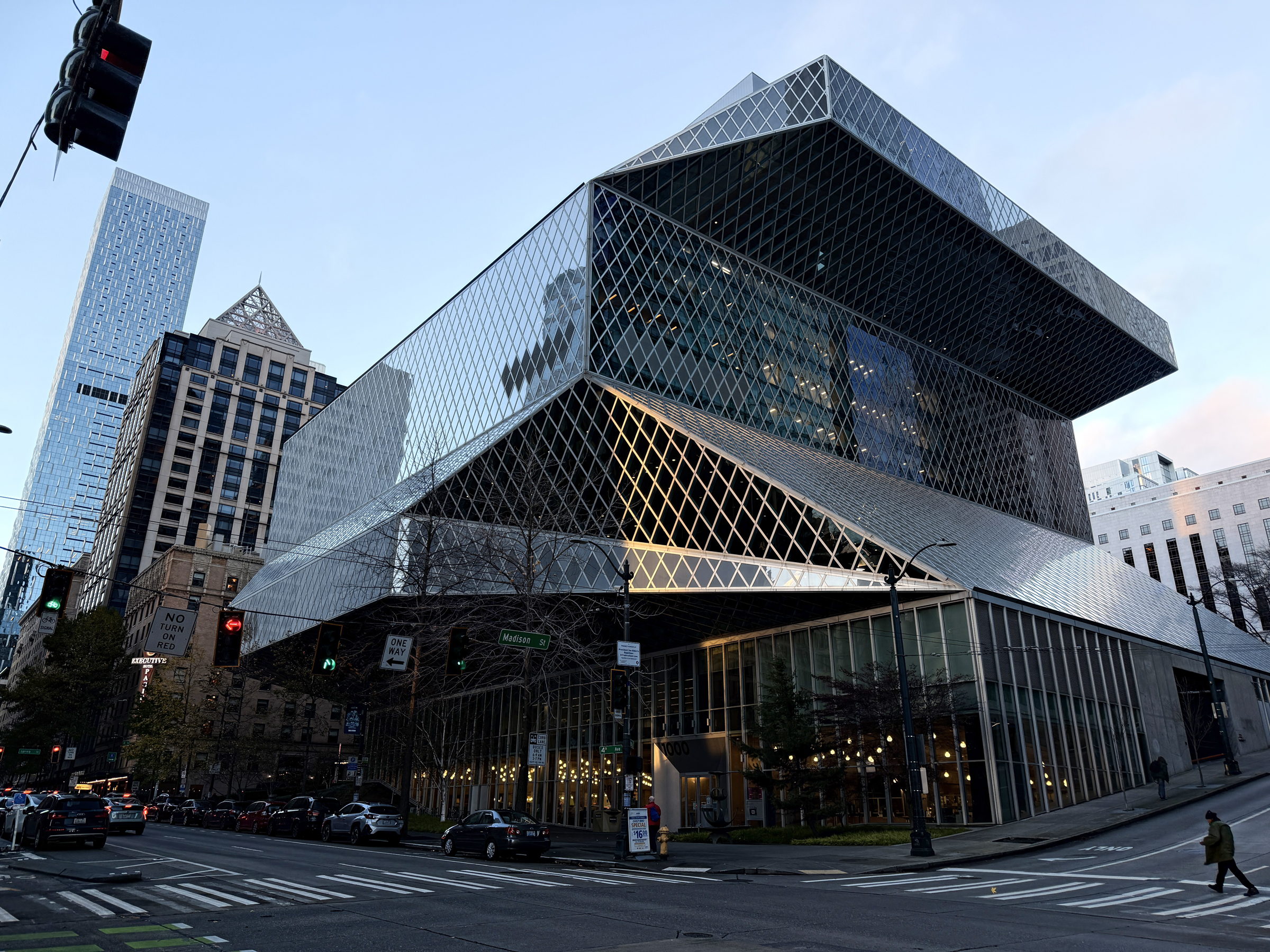
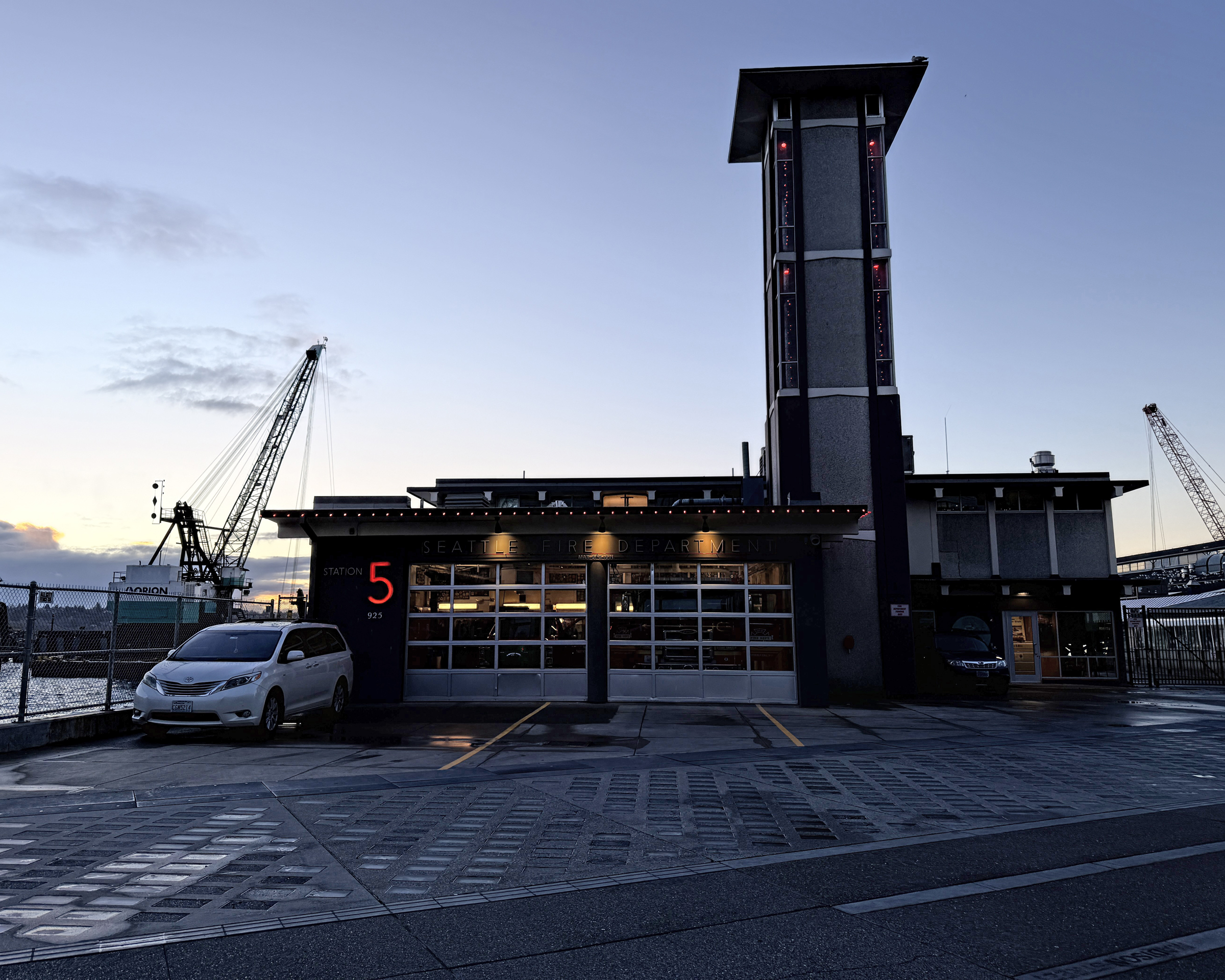
I made my way to the south end of the waterfront late this afternoon and walked up to Pike Place market.
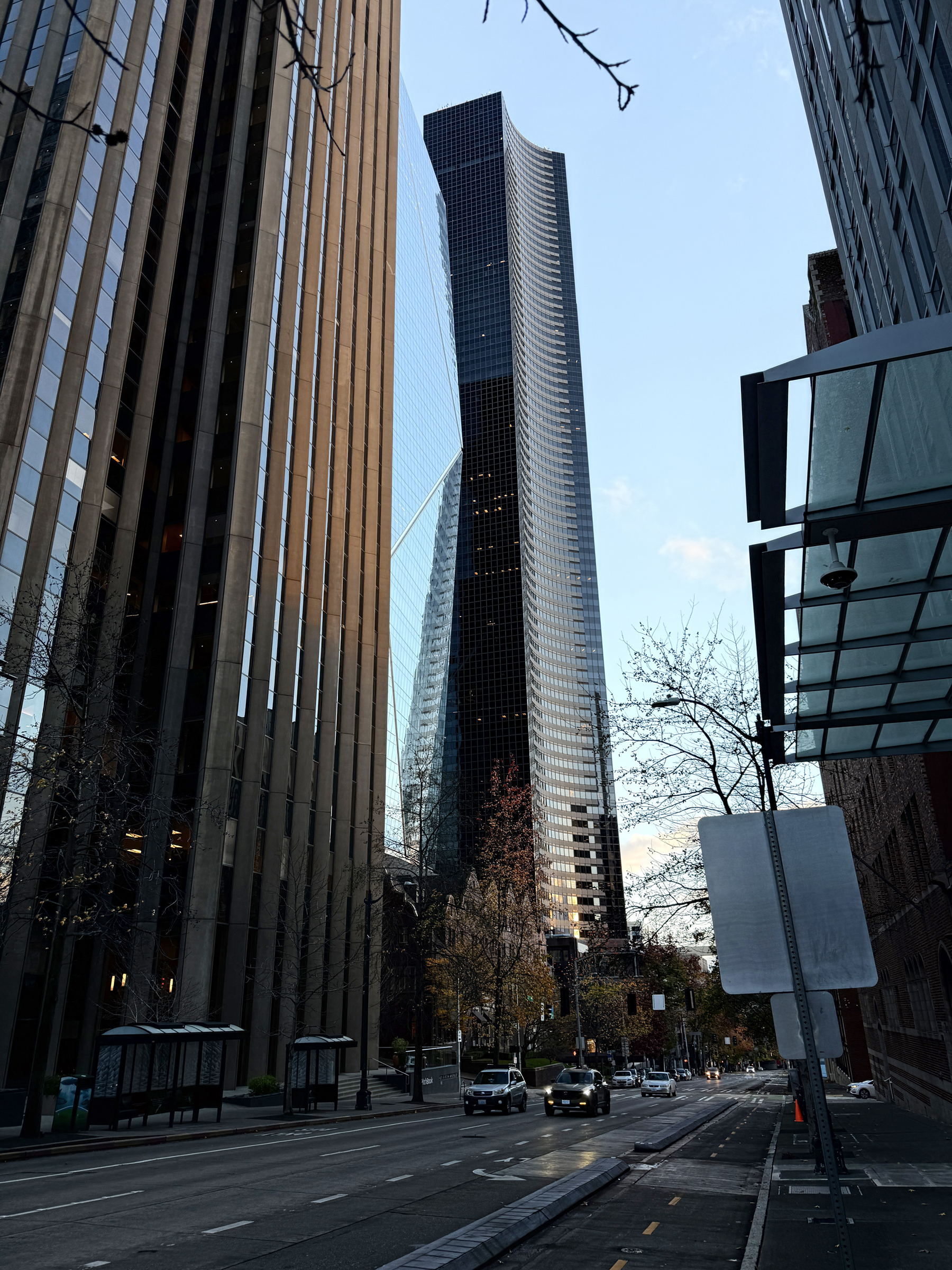
The day was brilliant and bright out— but with the air temperature still sharp at 48°F/ 9°C.
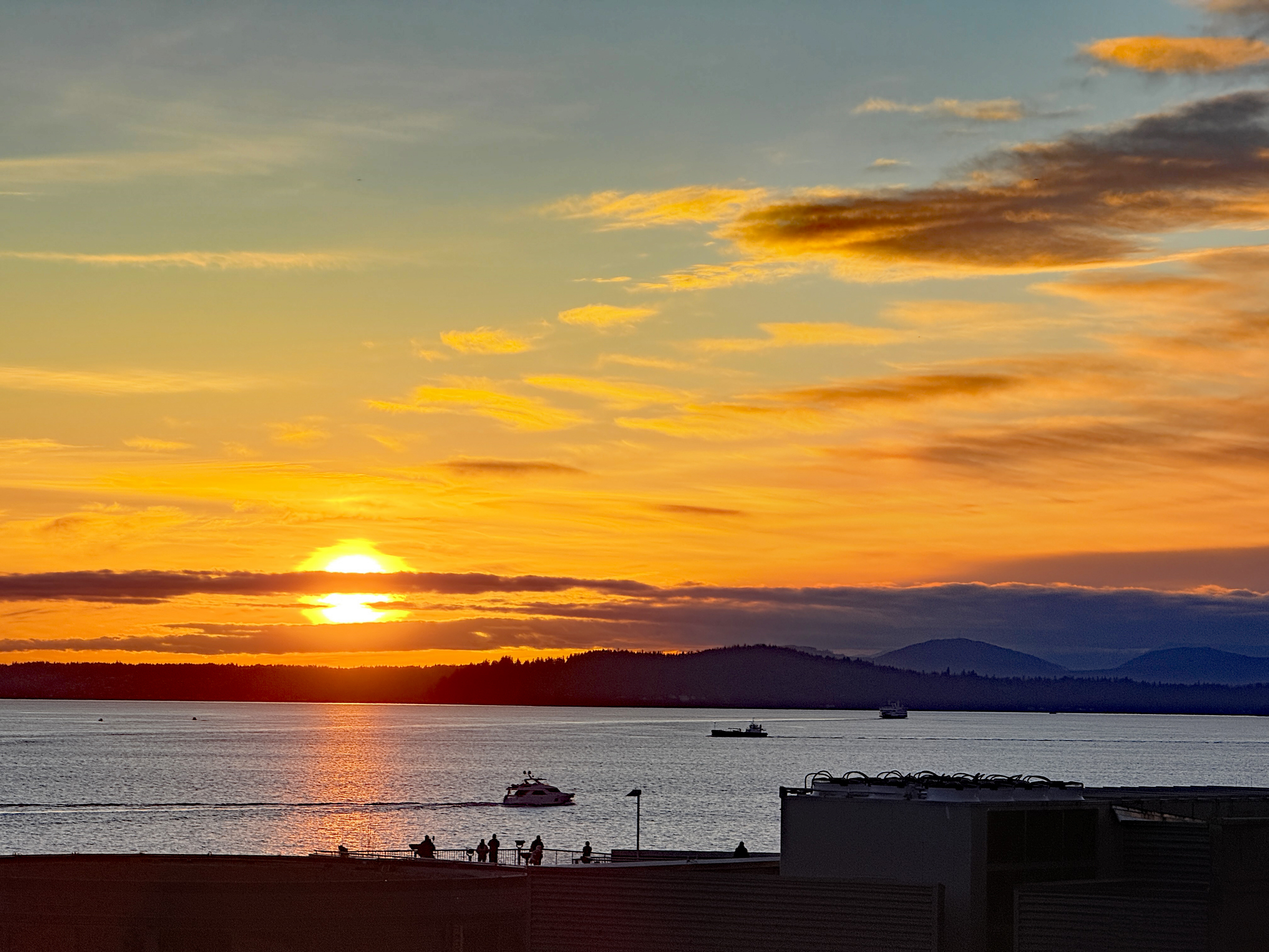
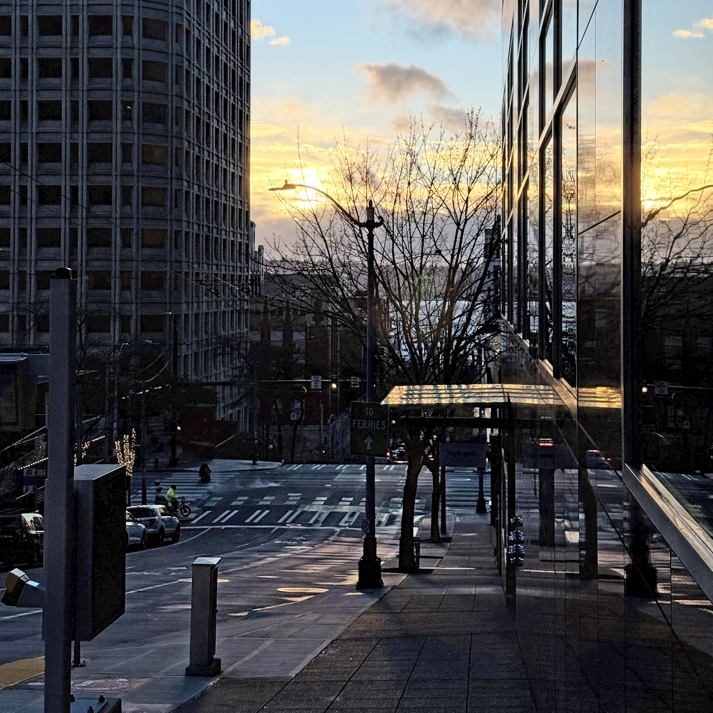
I took the sunset picture from Elliot Avenue and Lenora Street.
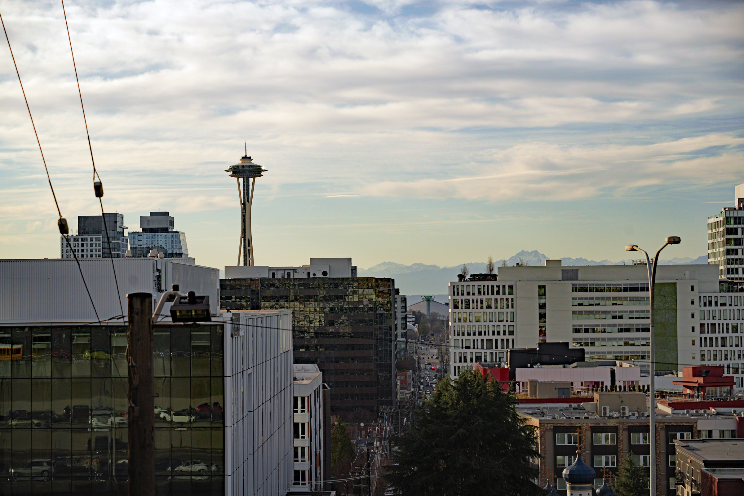
Today was another very mild winter’s day here in the city (57 °F/ 14°C) with clouds and sun.
I walked down to the Melrose Avenue overlook to see if the 12’s flag is up on the Space Needle yet.
(It is not. I believe it will go up tomorrow, Friday).
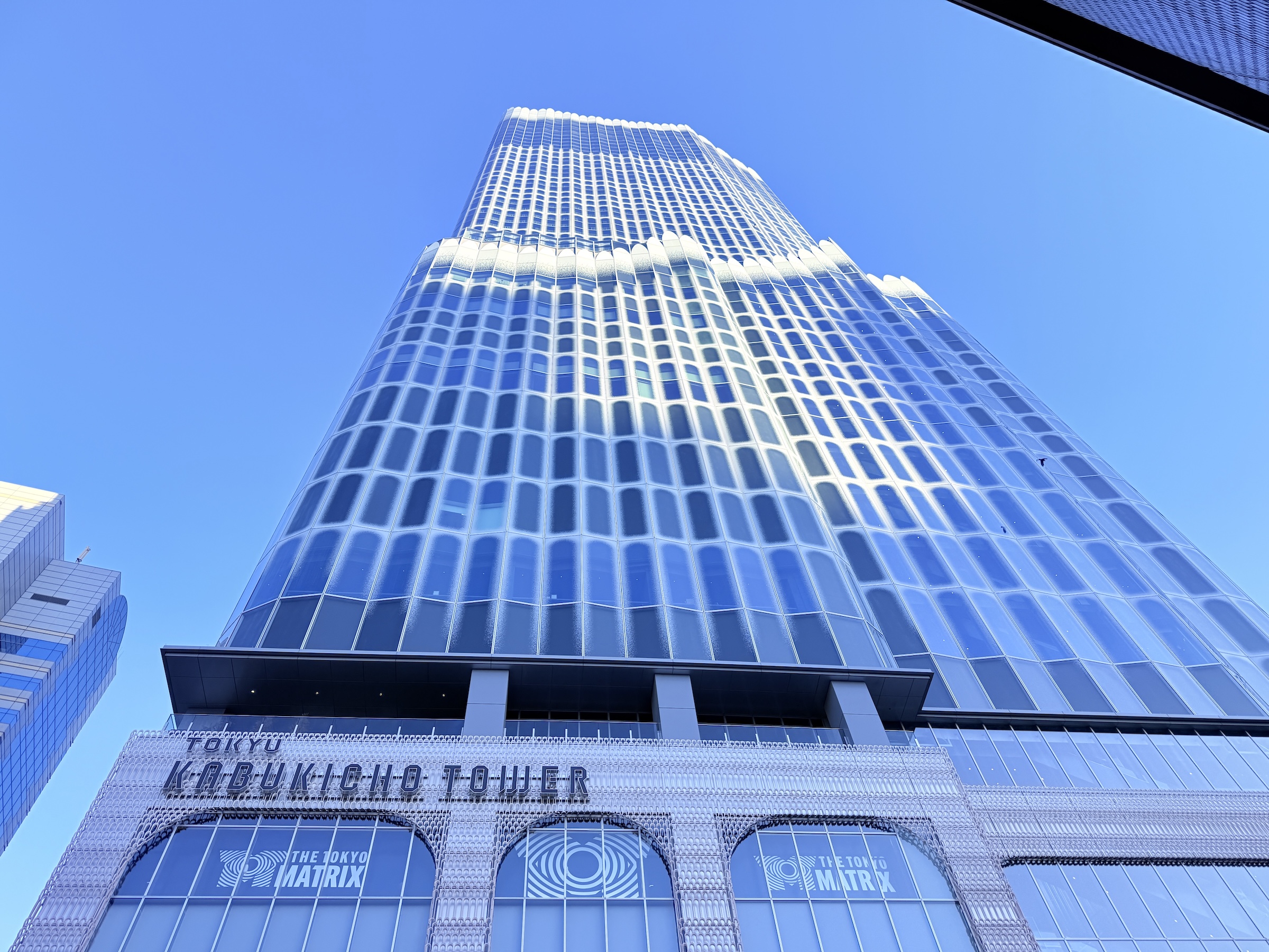
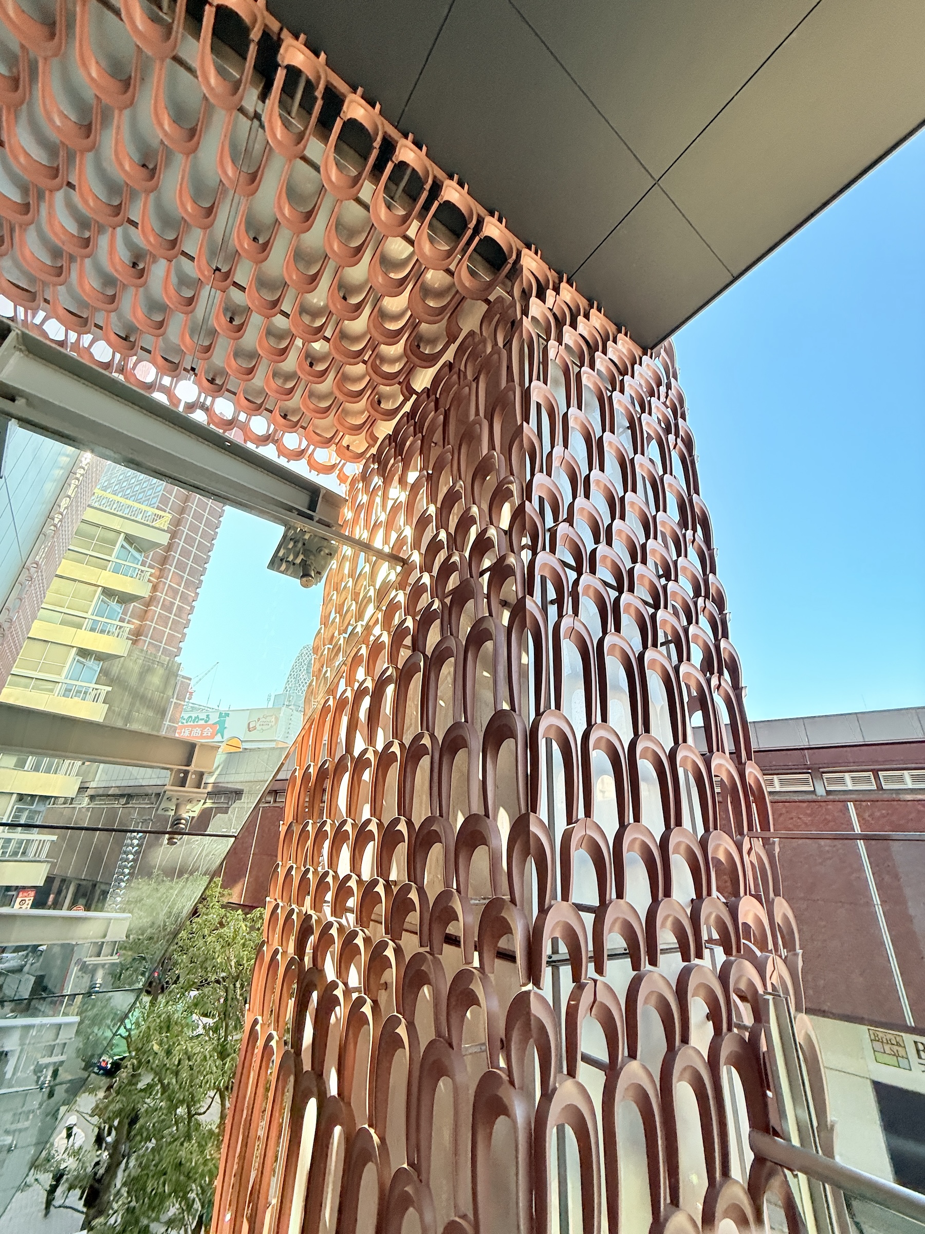
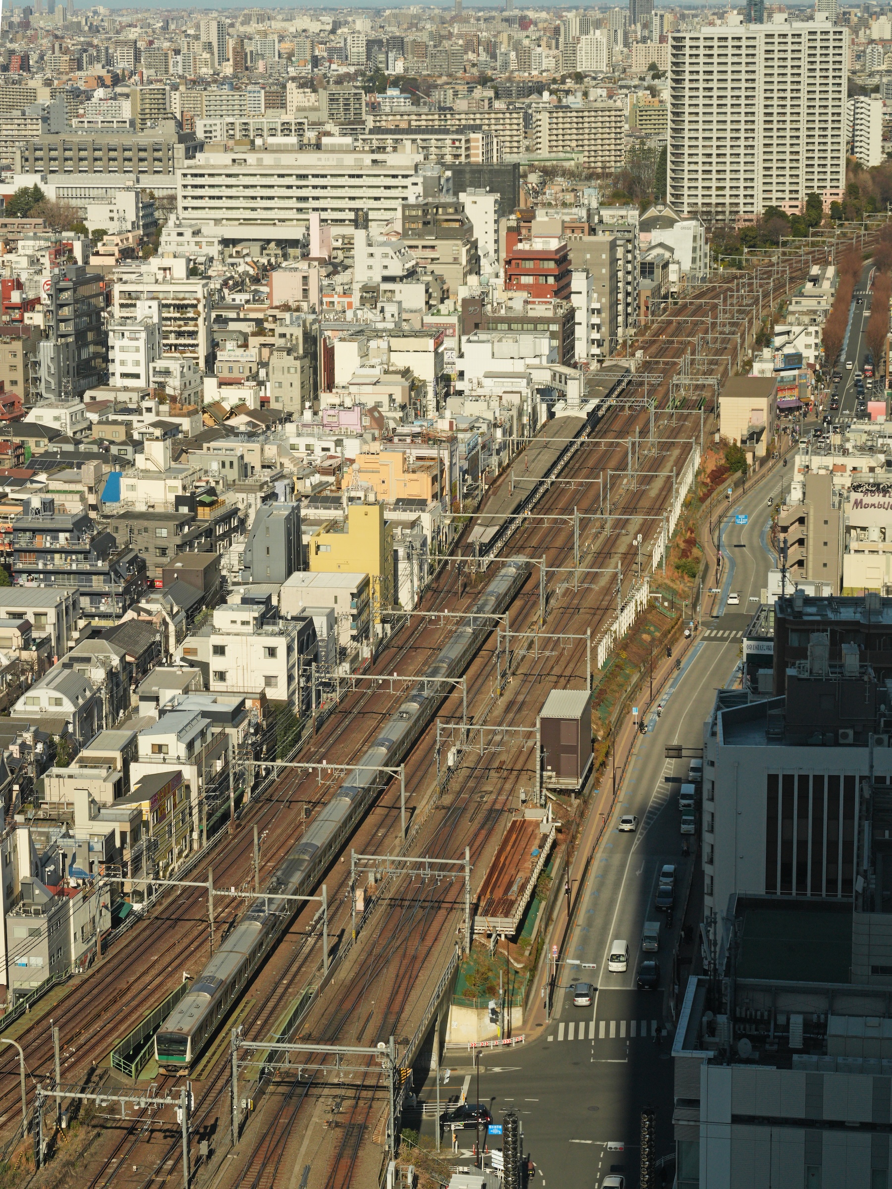
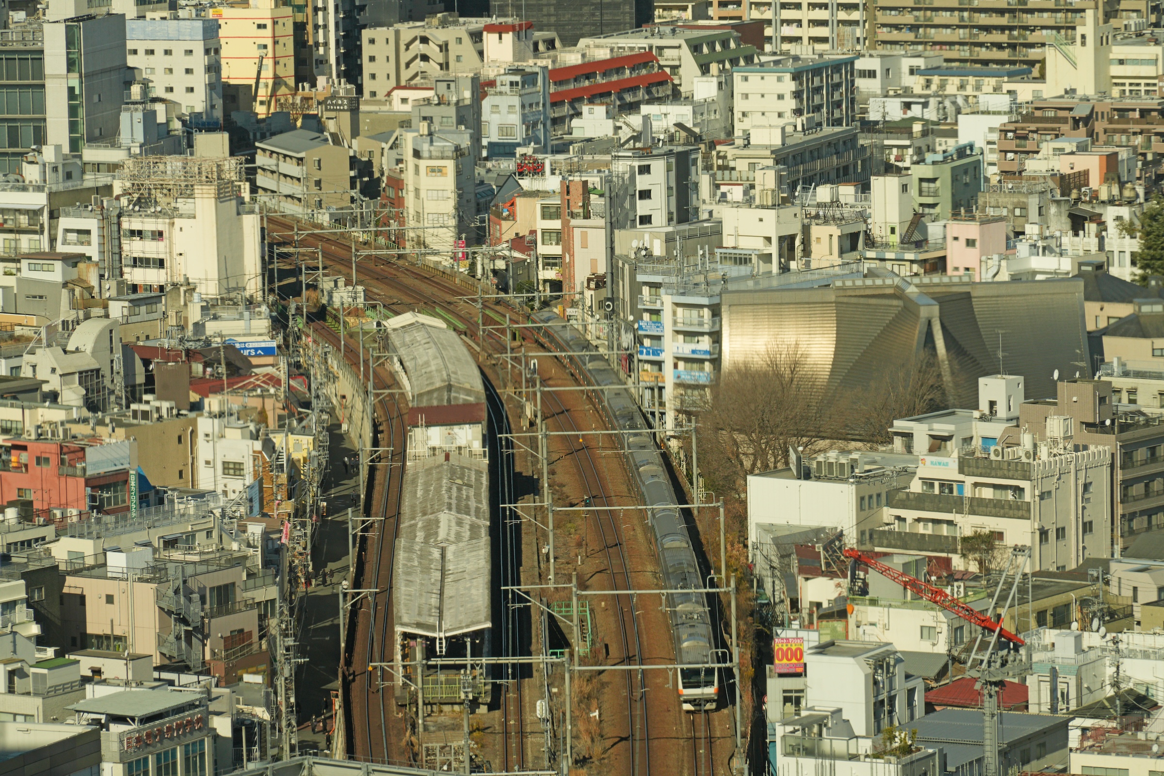
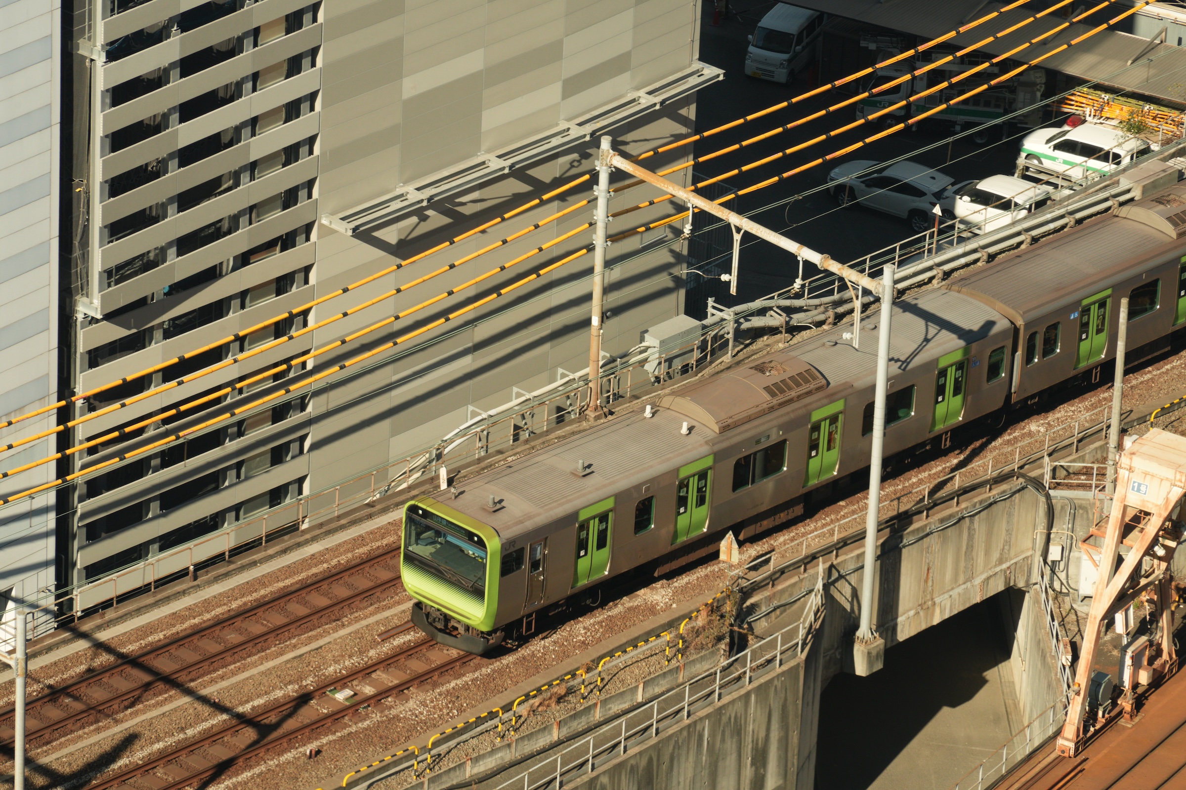
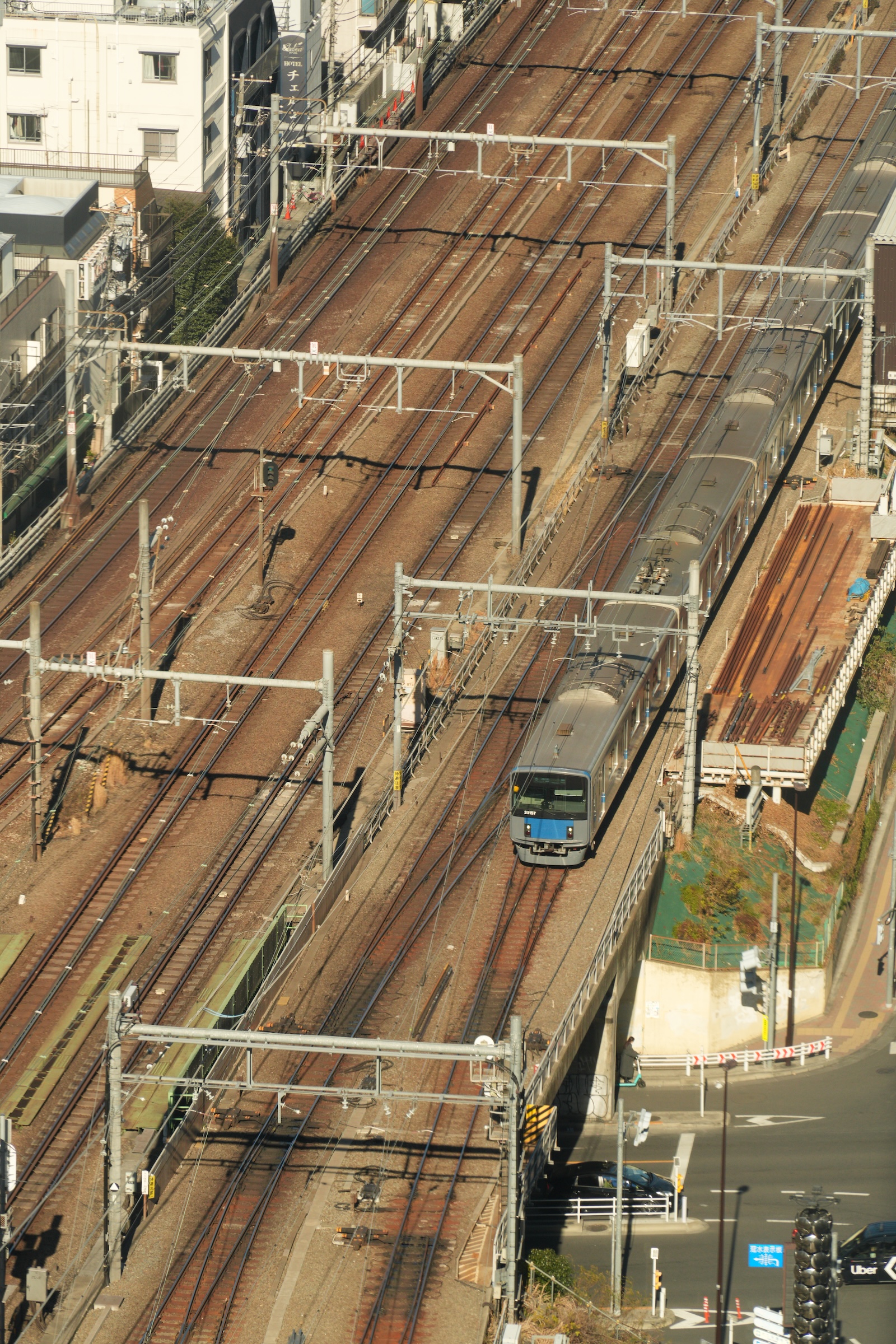
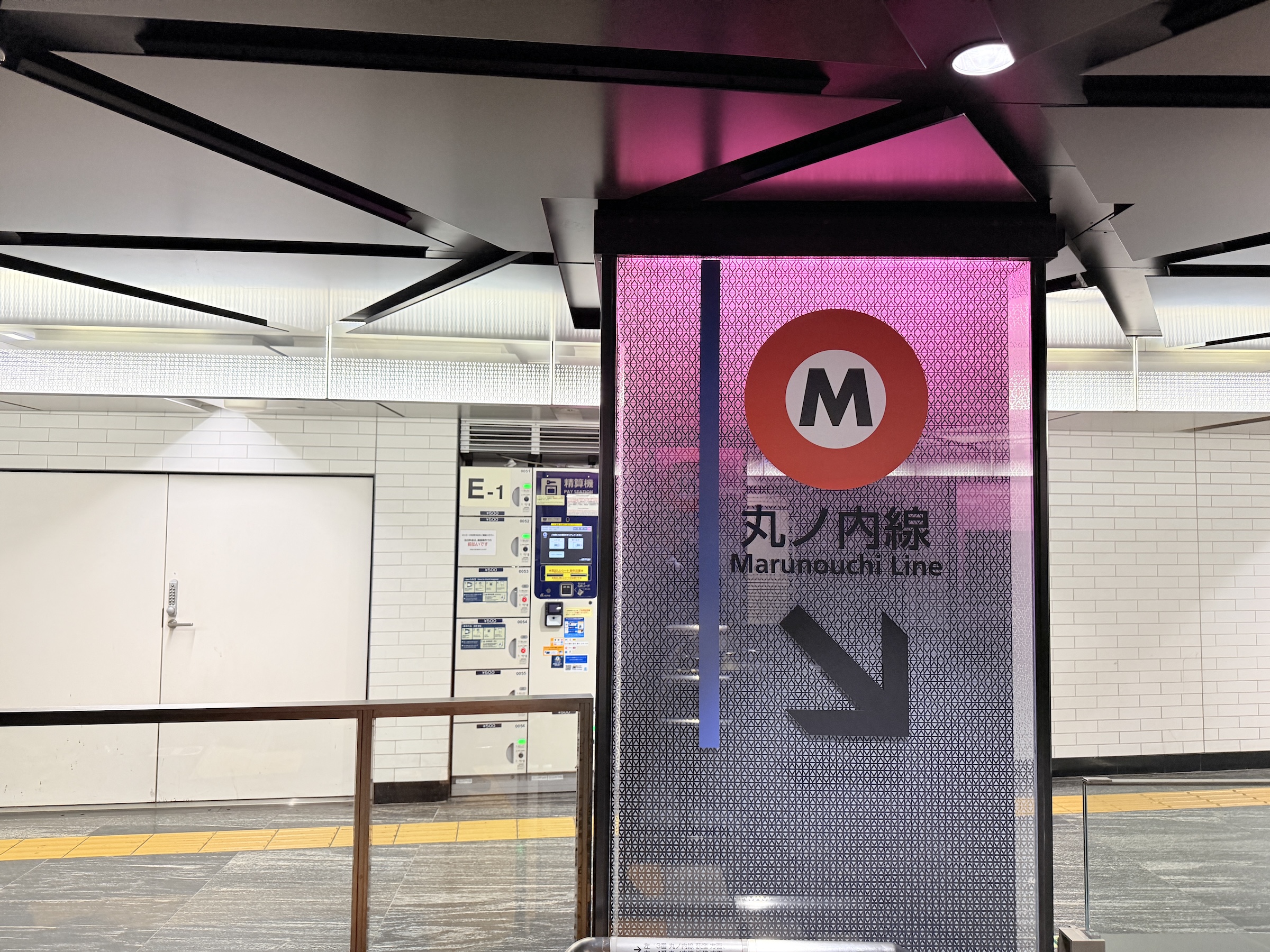
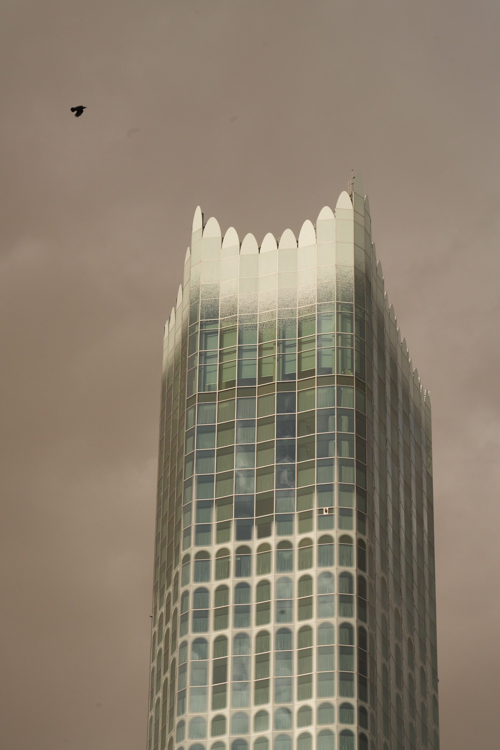
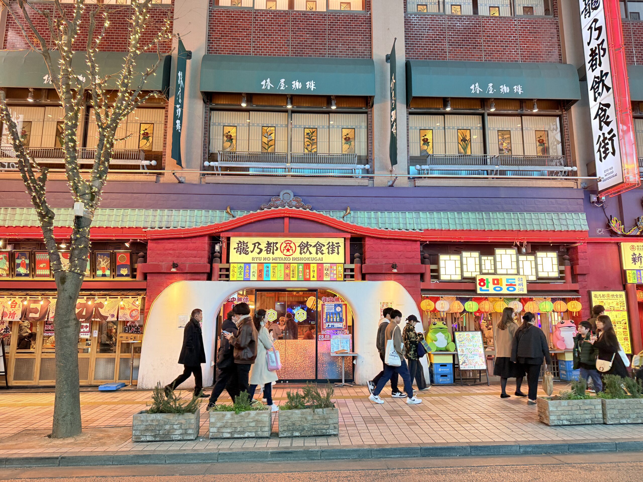
On Monday I went up to the 17th-floor observation deck of the Kabukicho Tower. It offers a nice view of the trains running into and out of Shinjuku station.
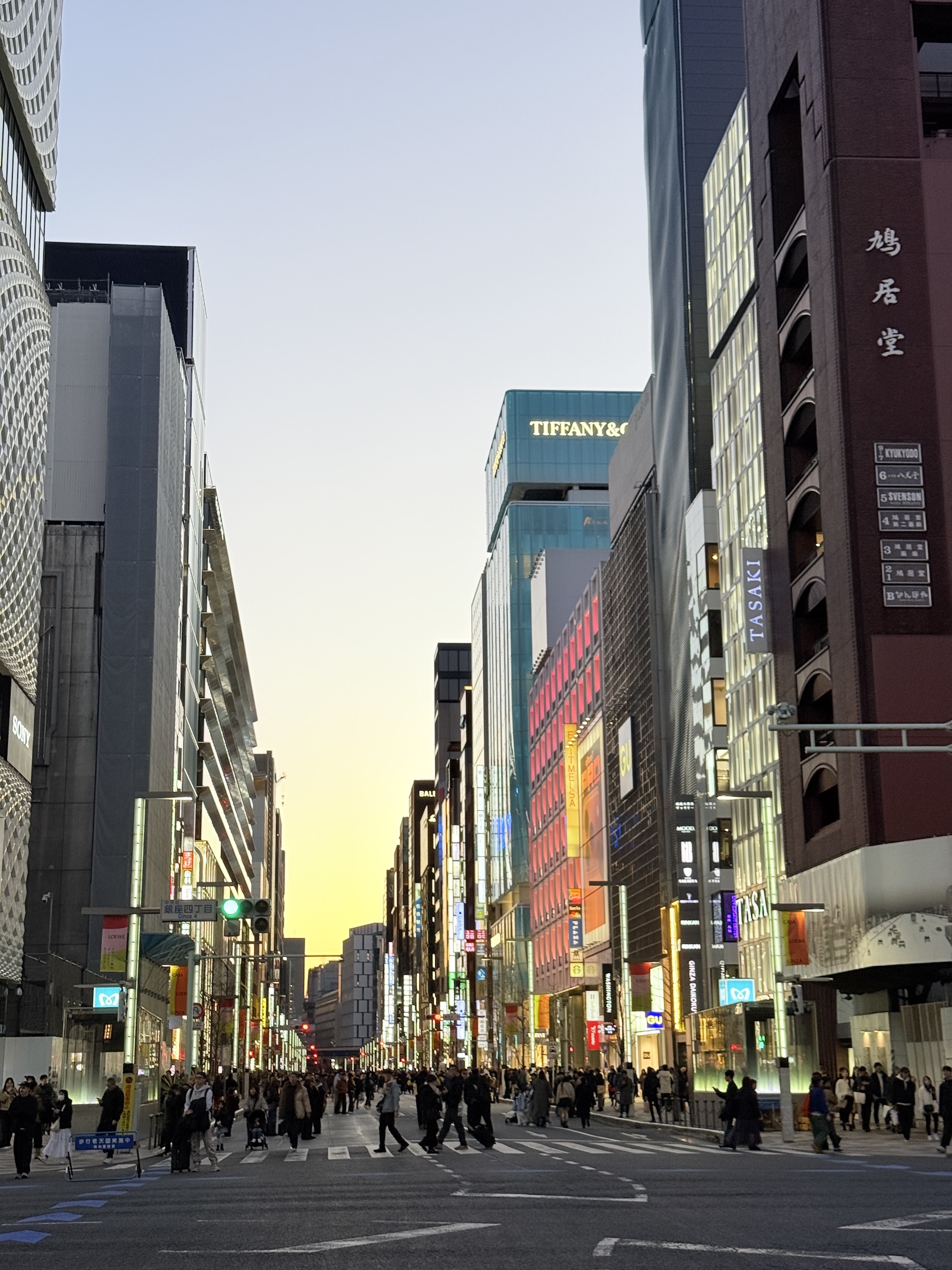
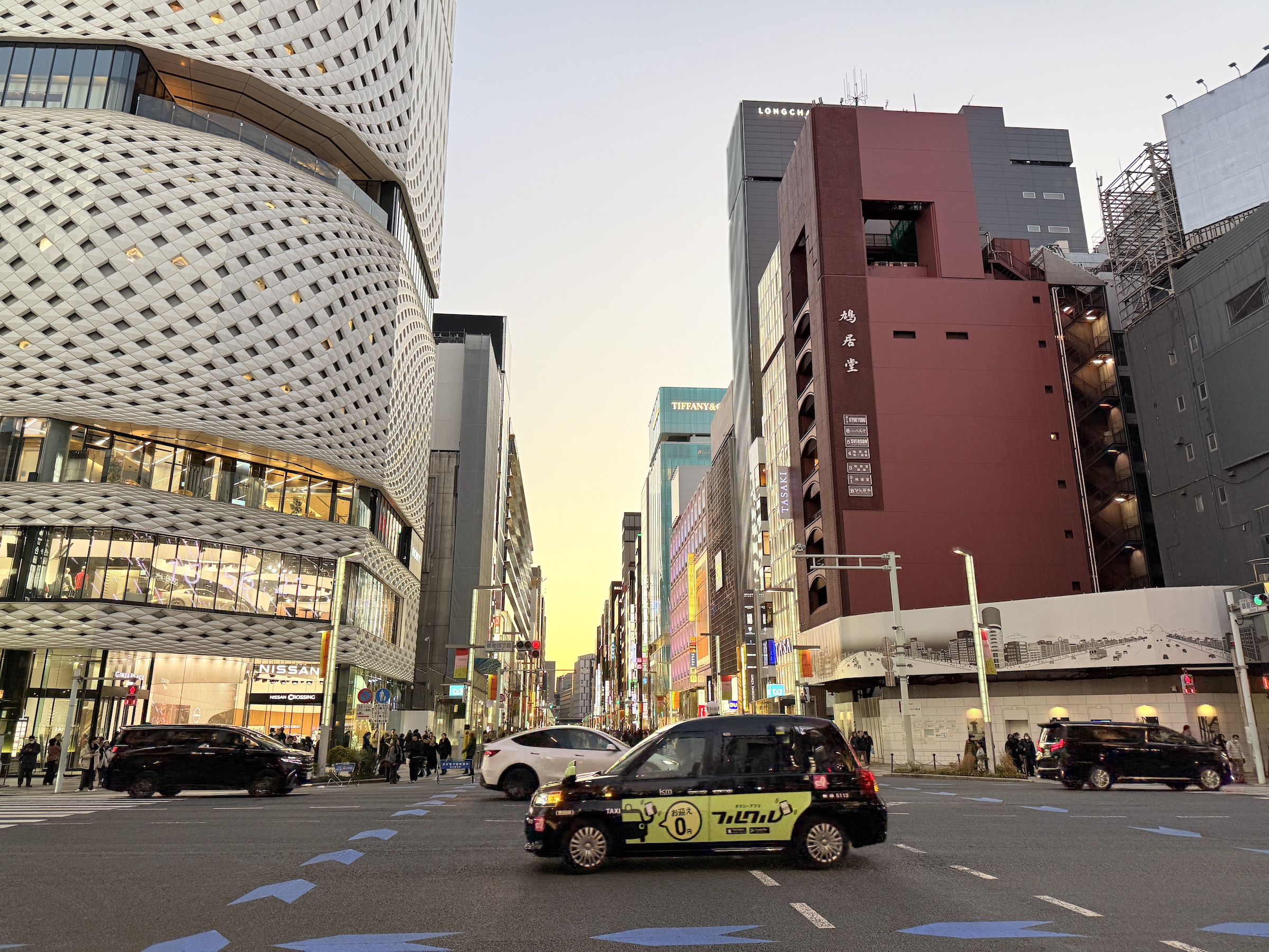
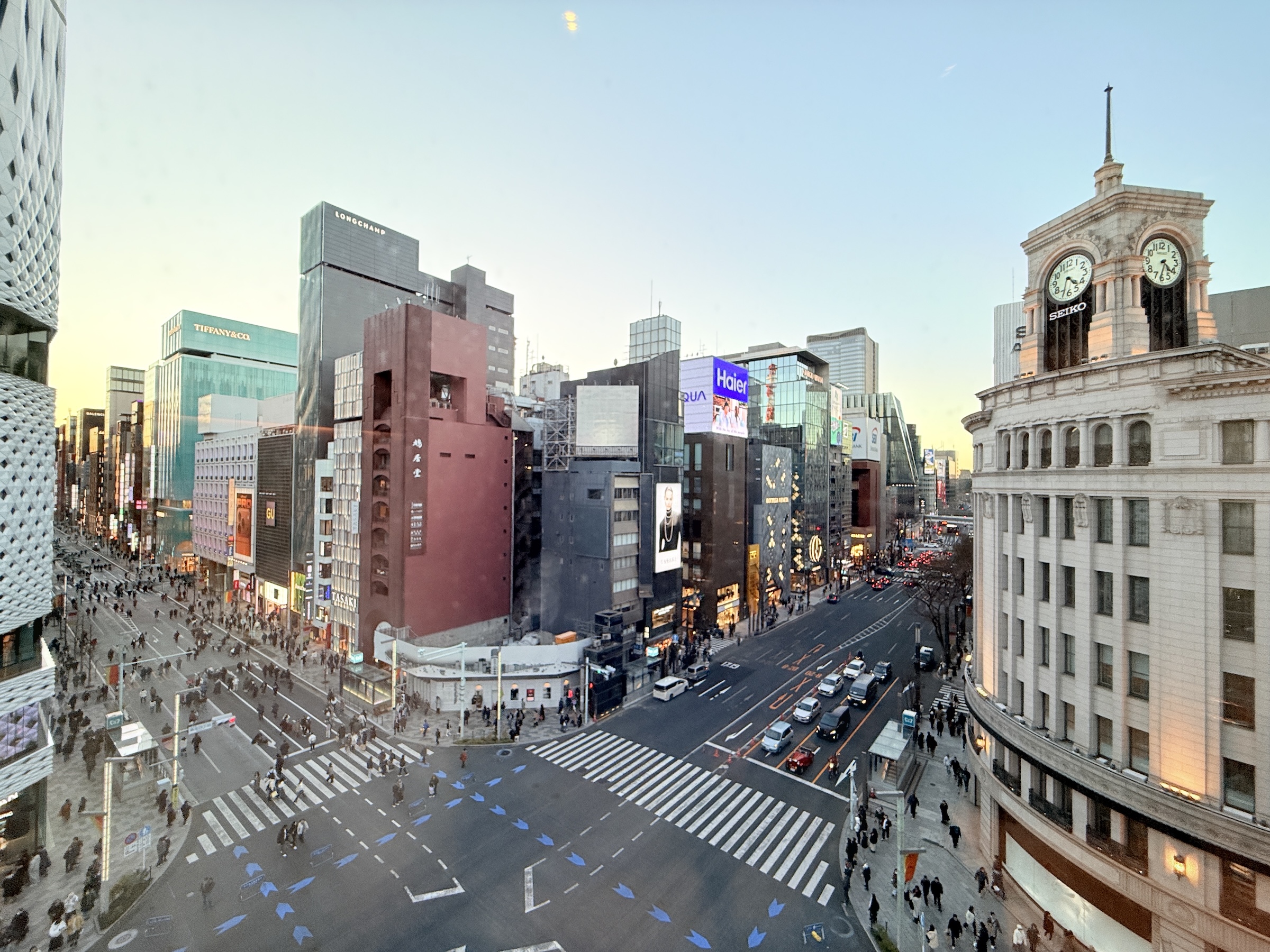
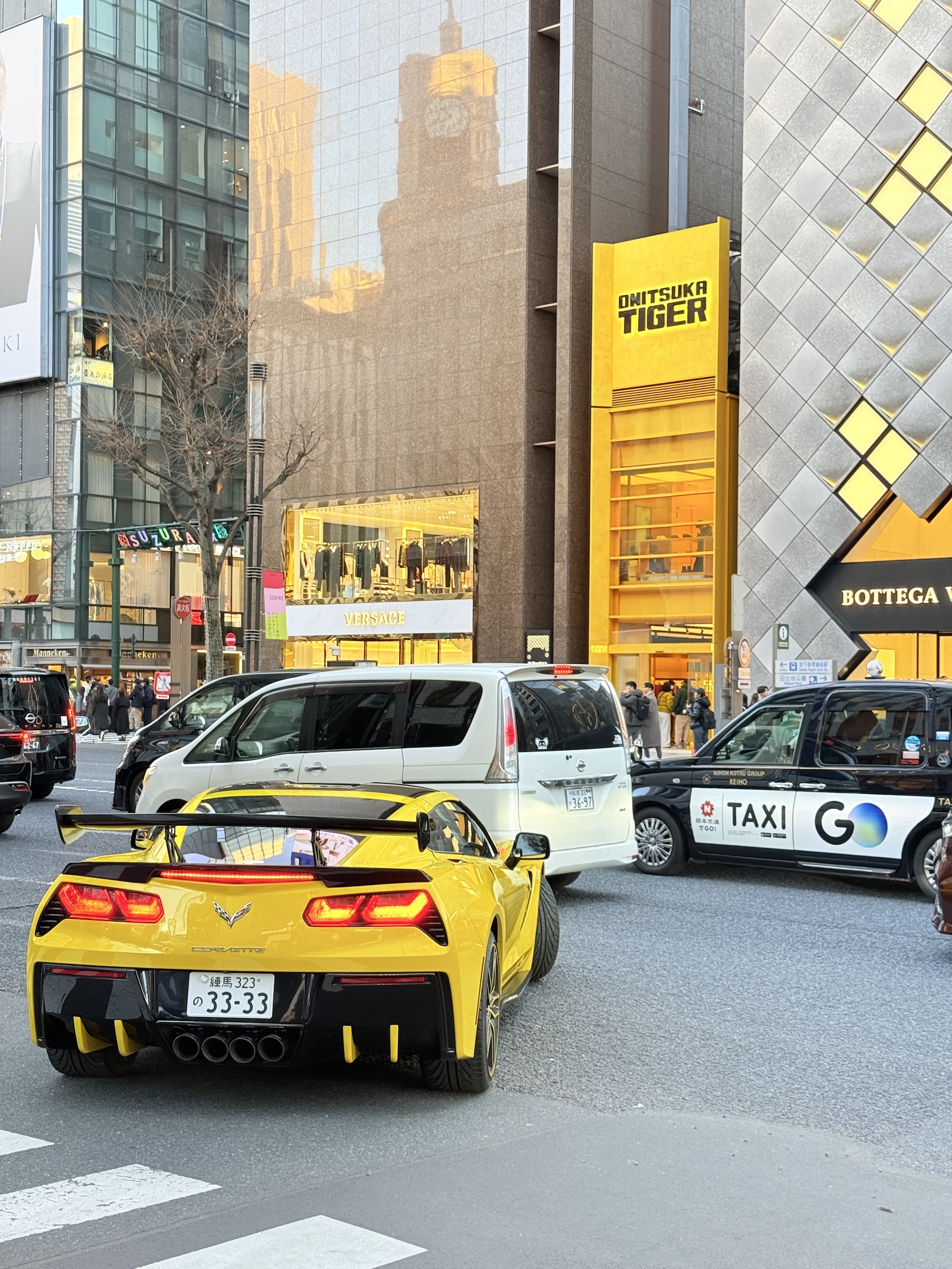
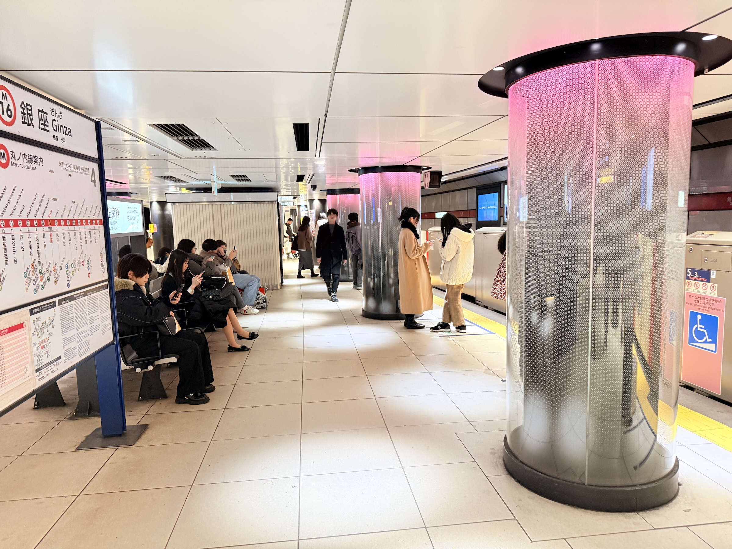
The other photos are from Ginza shopping district around sunset.
Everything in Ginza is art— the buildings, the lamp posts, the manhole covers in the pavement, all the way down to the metro stations below ground.
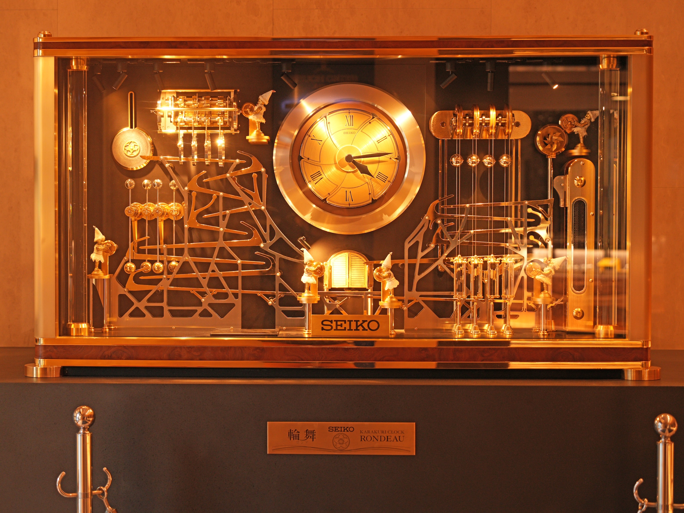
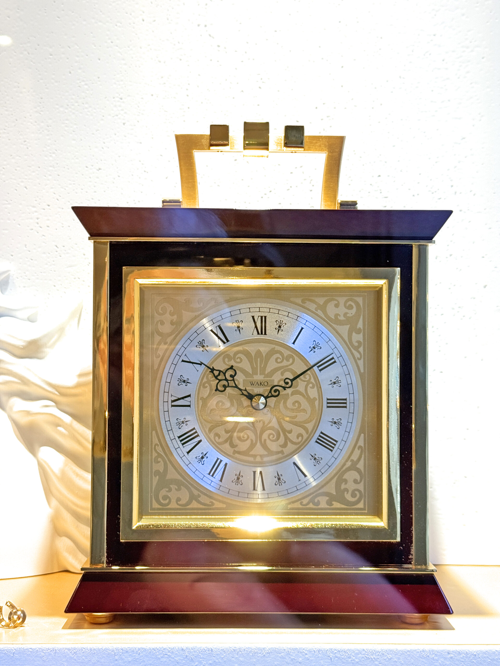
The clocks are from inside the Wako Building, owned by Seiko watch corporation.
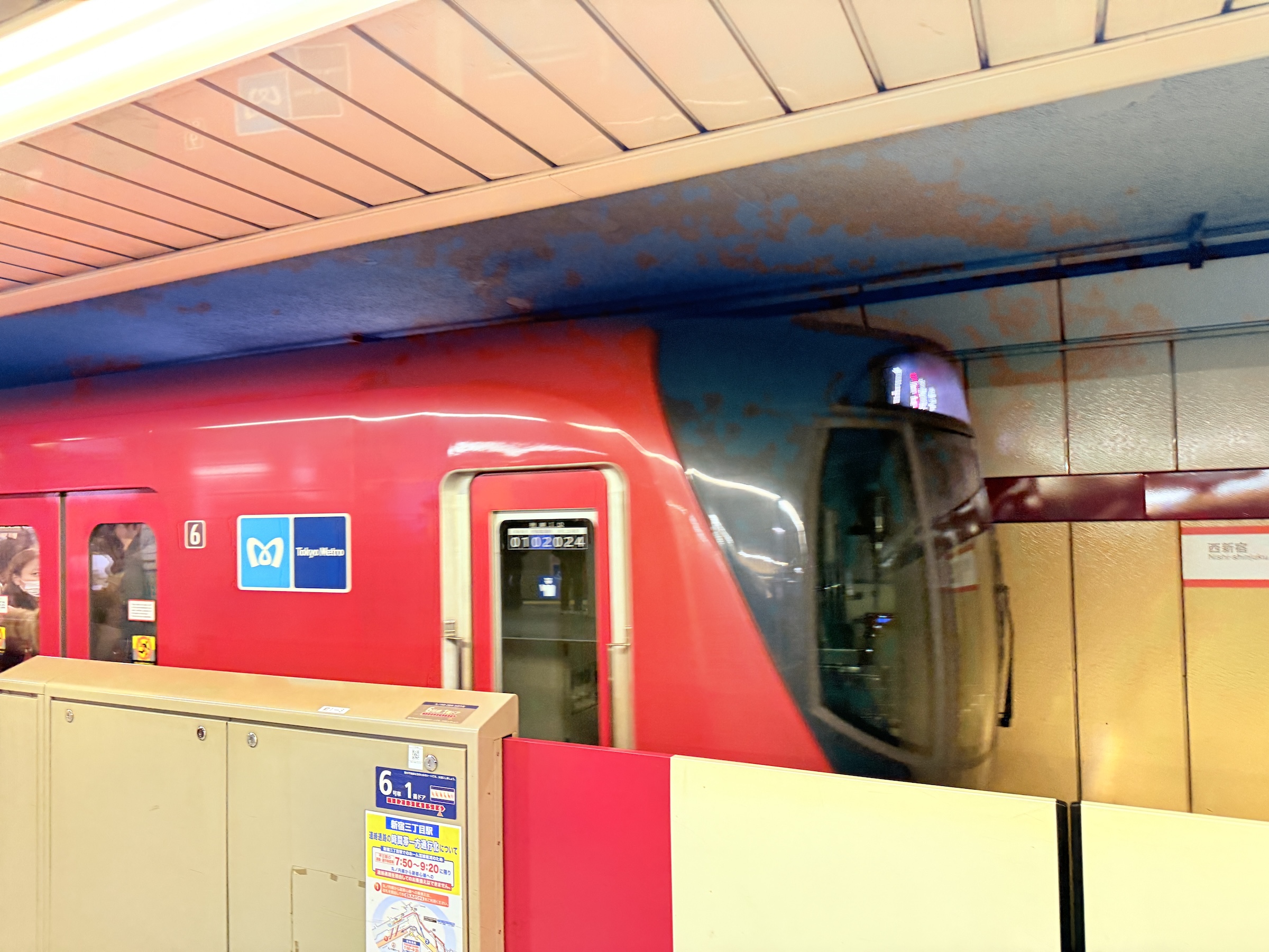
I took the Marounochi Line back to Shinjuku just before the onset of rush hour (rush hour starts at around 5.30 pm).


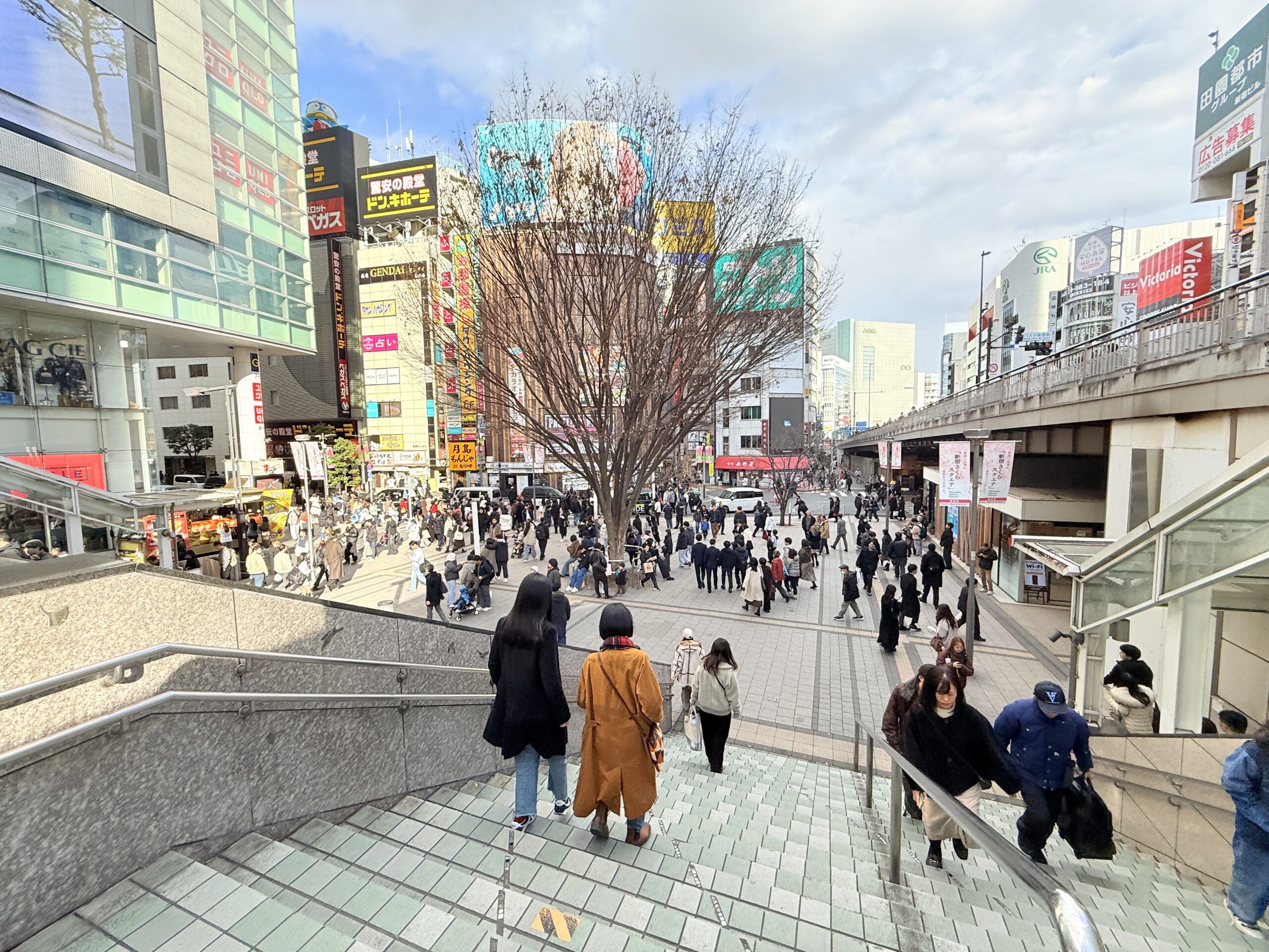
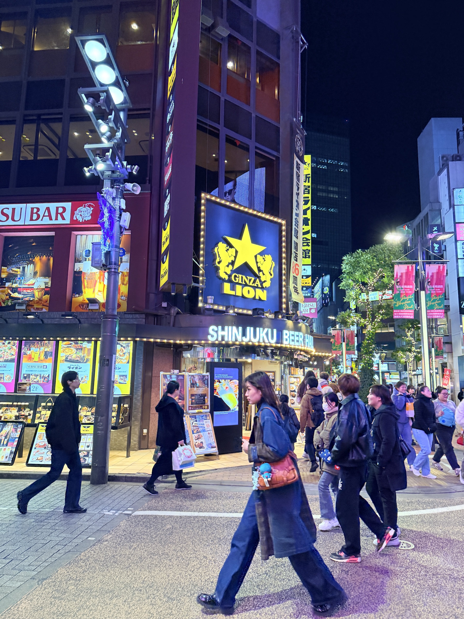
Sunday was bright and mild (57 °F/ 14 °C) here in Shinjuku.
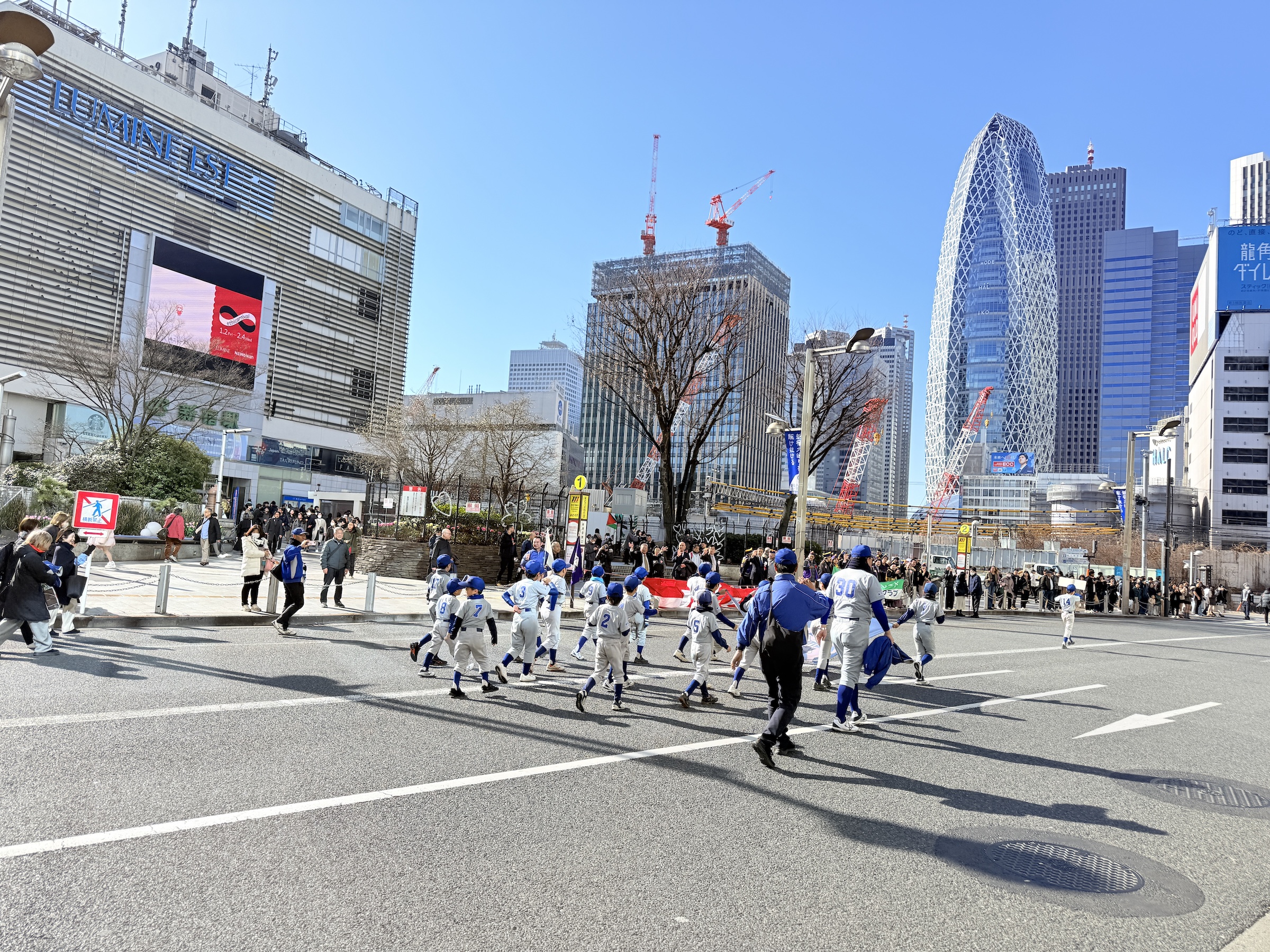
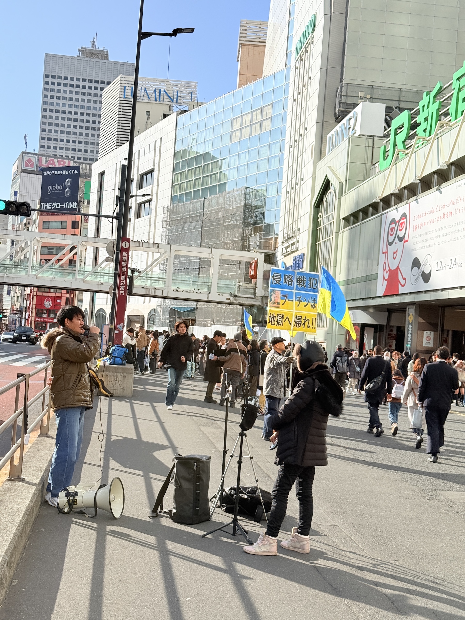
The streets around Shinjuku station were closed for traffic all day.
A little parade of sorts came by, featuring bands and groups for firefighter and disaster support, and little league baseball teams. Elsewhere there was a protest for the war in Ukraine (offering support for Ukraine).
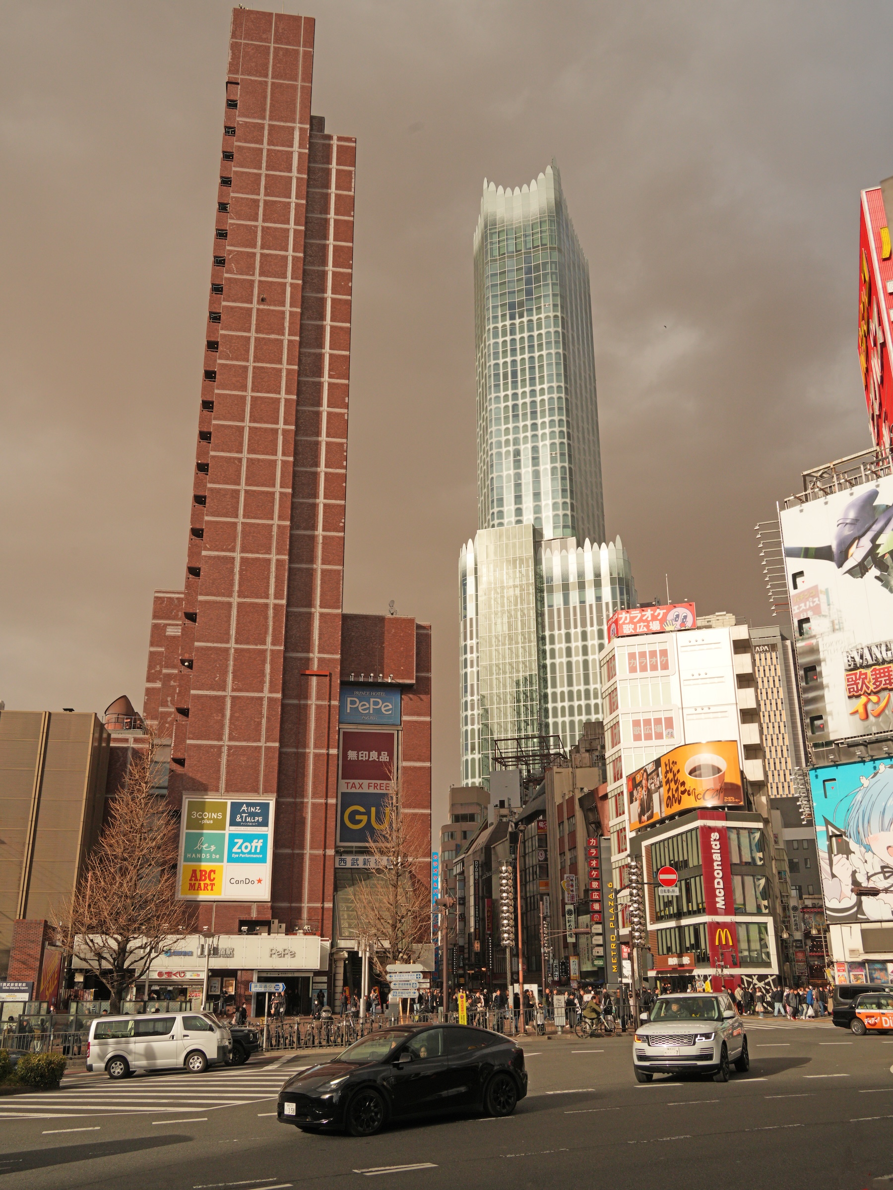
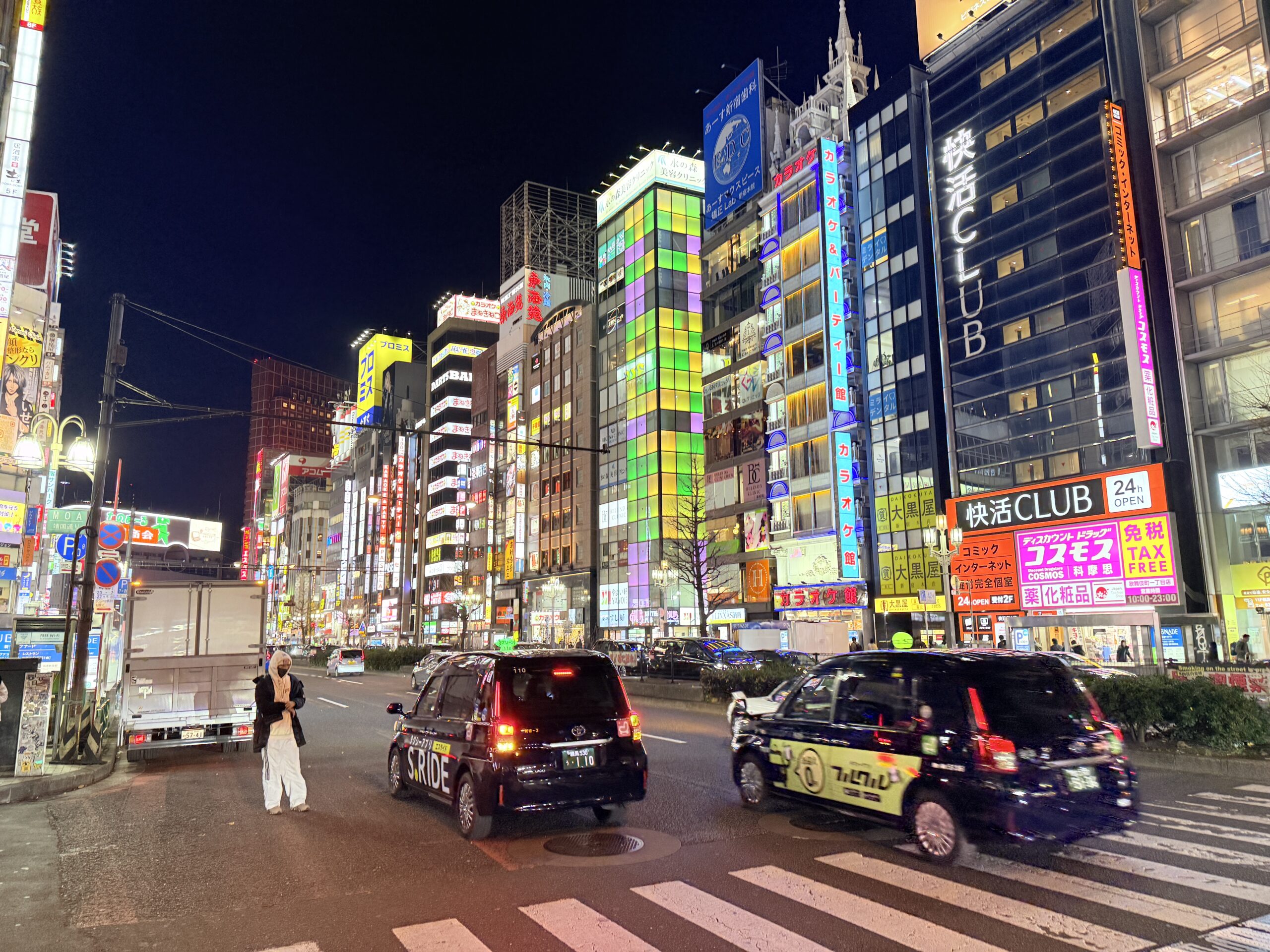
There are a Teslas on the streets, but not many. In the picture with the black Tesla, the hotel is on the left.
The beautiful building with the wavy top is Tokyu Kabukicho Towerー 48-story skyscraper completed in 2023. It was designed by Yuko Nagayama & Associates and developed by Shimizu Corporation. [Wikipedia]
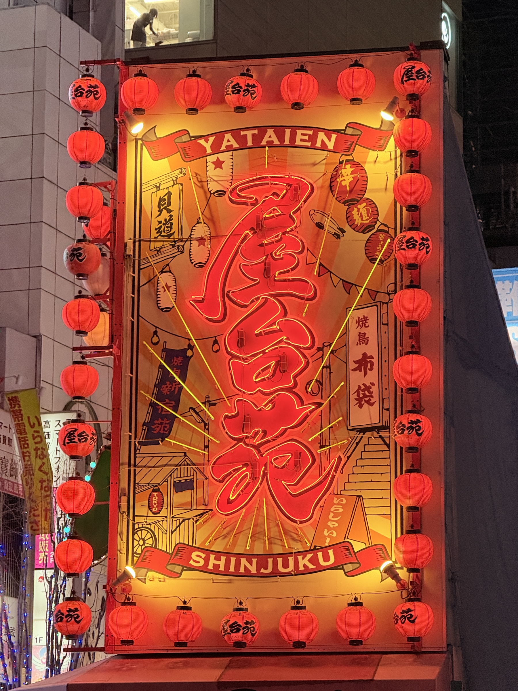
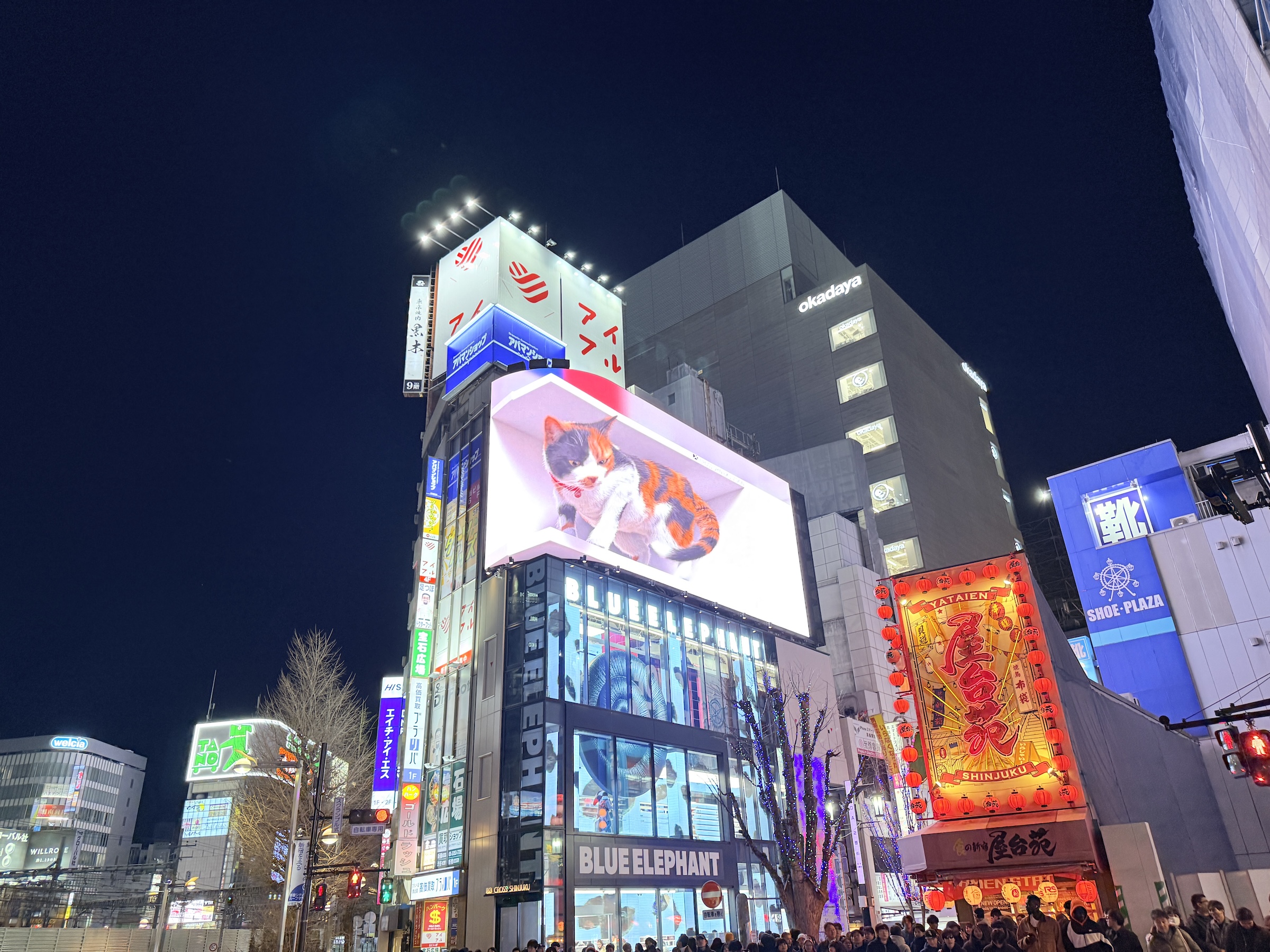
At Shinjuku Station’s East Exit, the giant 3D cat is still there, entertaining crowds near the crosswalk for Studio Alta.
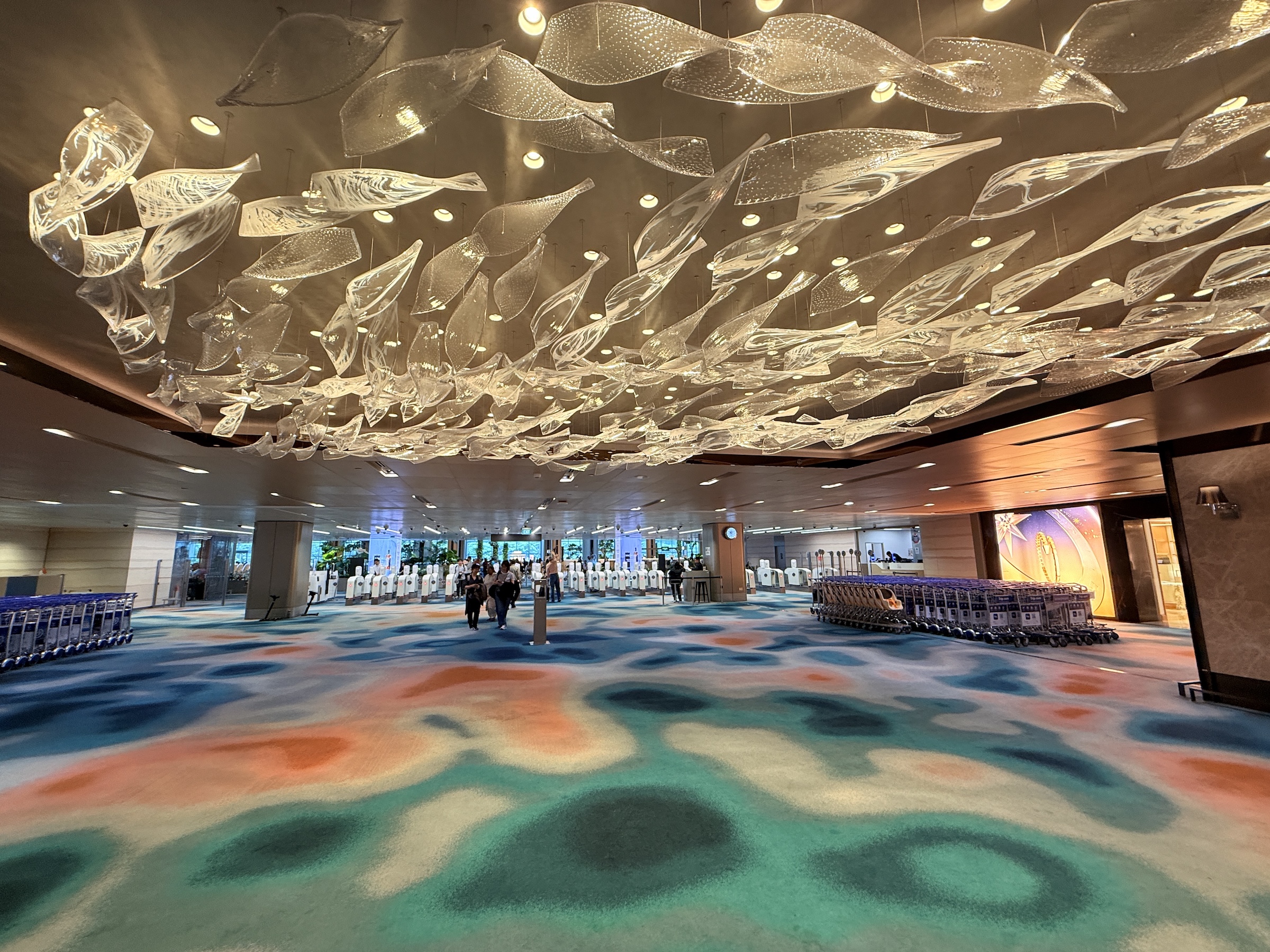
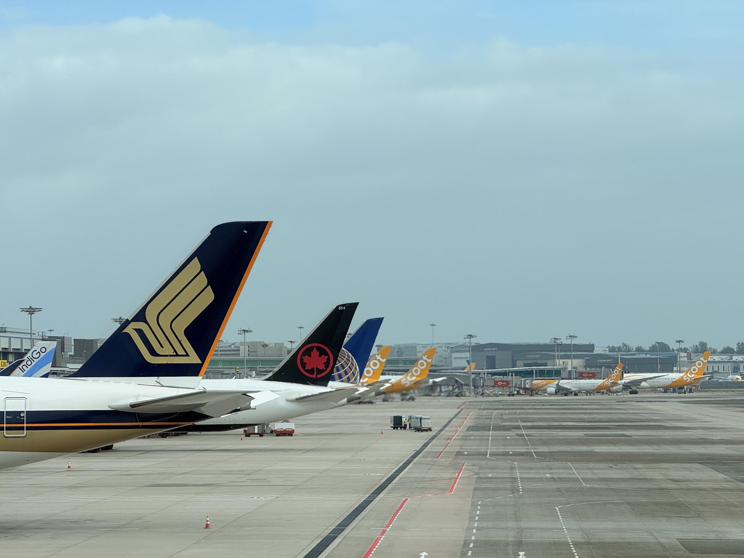
There’s a thundering (digital) waterfall in the check-in and departures area at Singapore’s Changi airport.
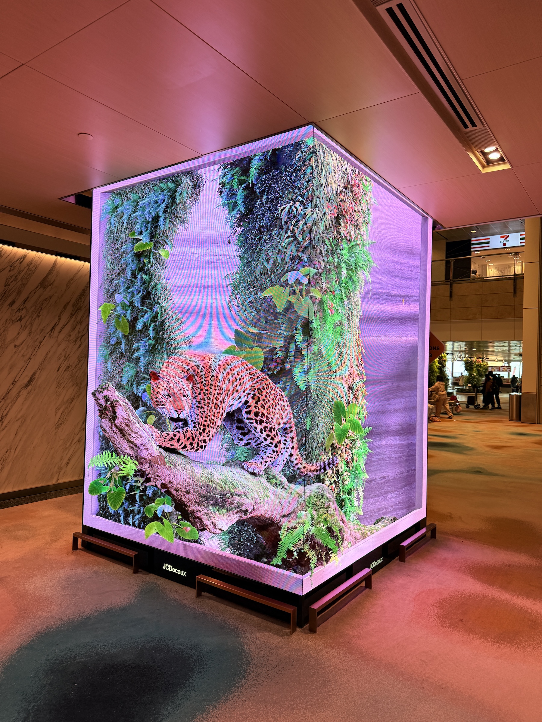
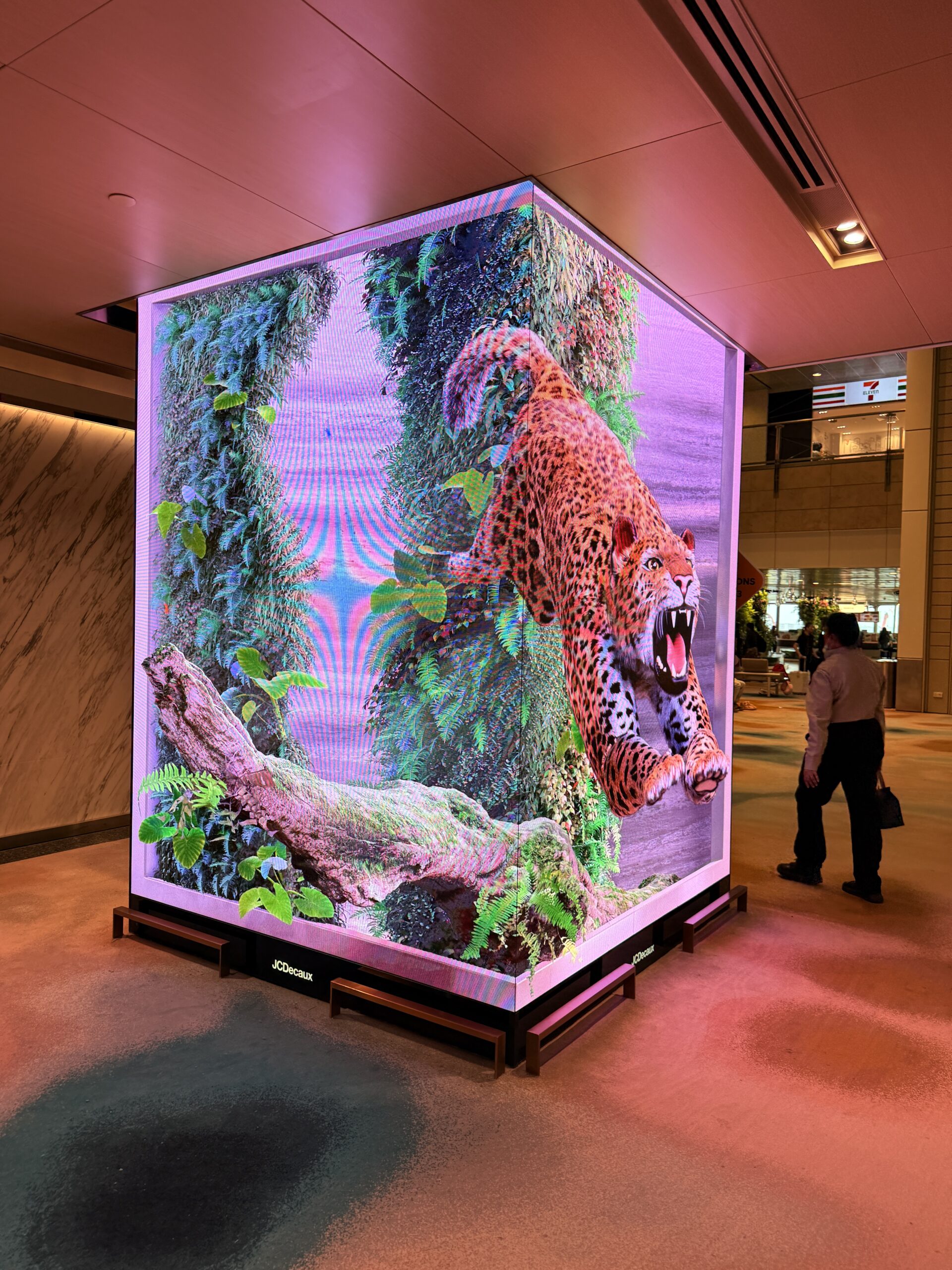
And watch out for the 3-D jaguar inside the secure area that will pounce on you!
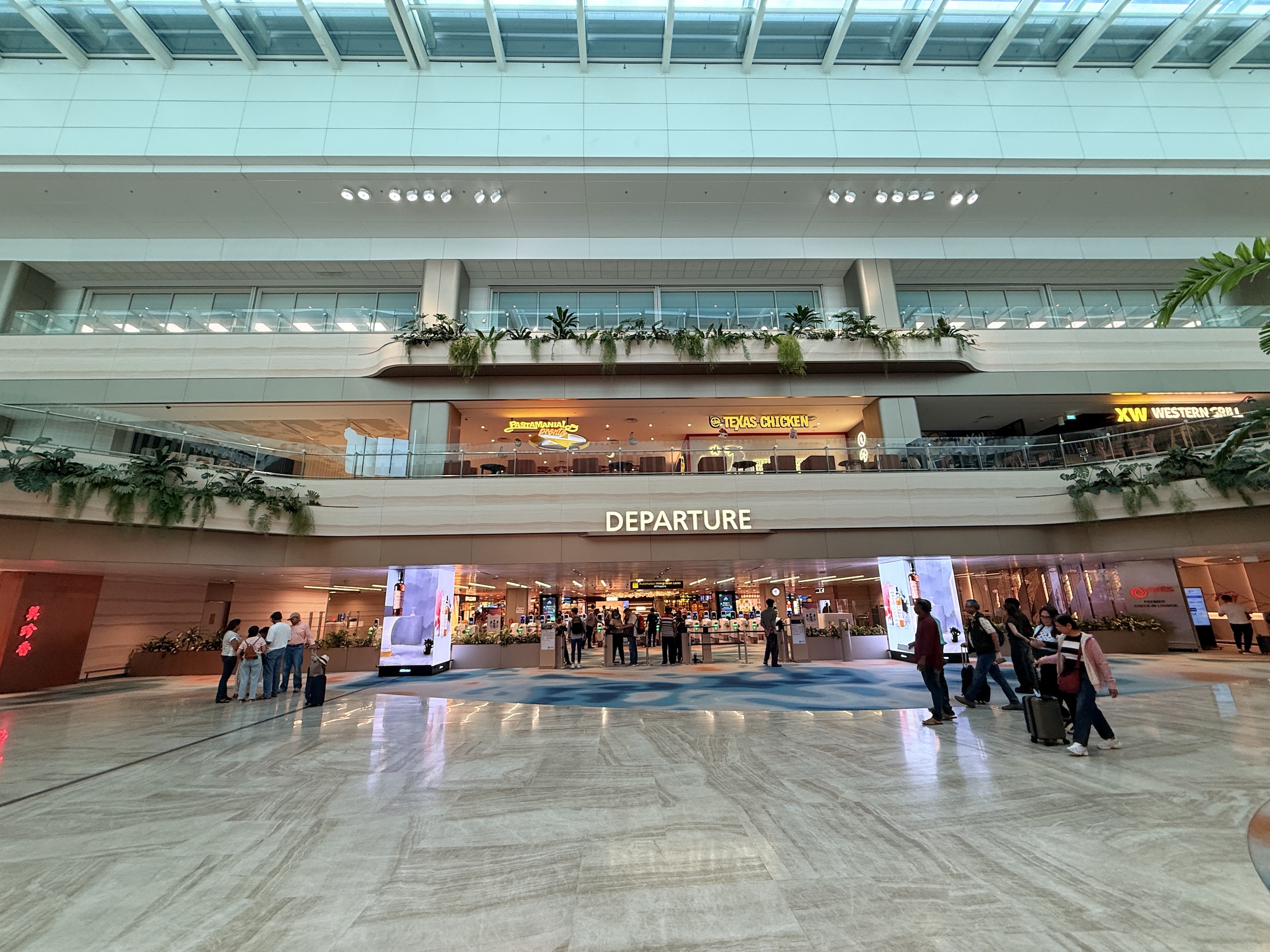
Changi airport’s layout feels different than the standard airport floor layout.
There are no check-in counters, and I had to look around to find out where to take my tagged luggage for check-in.
(It is handled by fully automated stations with conveyor belts that swallow your bags.)
The security check is done right at the gate with its dedicated waiting area.
So no bottled water or other large liquids can be carried onto the plane. There are no toilets right by the gate’s waiting area as you wait to board.
(So what happens if it turns out there is a 30 min or 1 hr delay with the boarding process? Can you go out and come back in through the security check?)
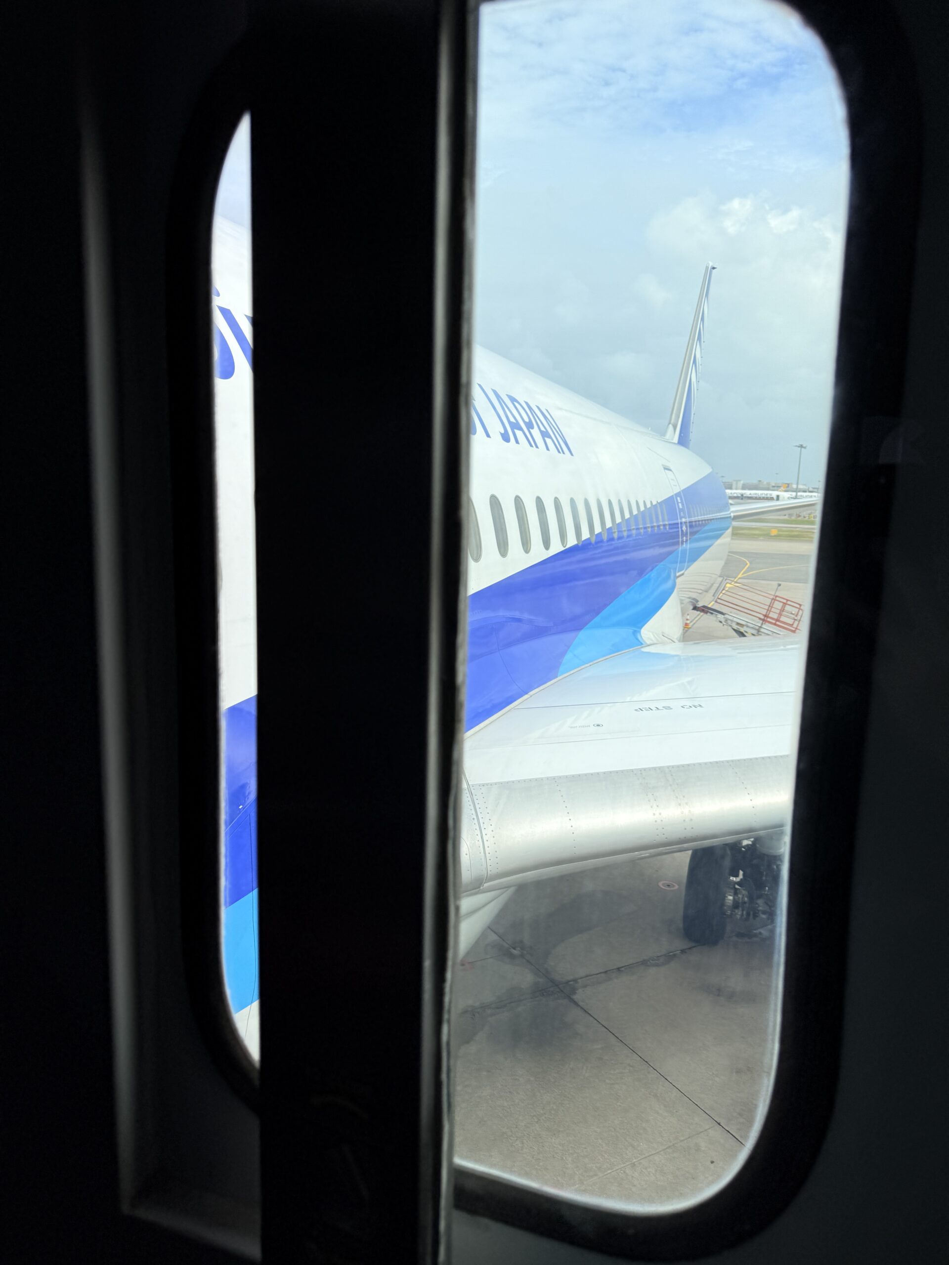
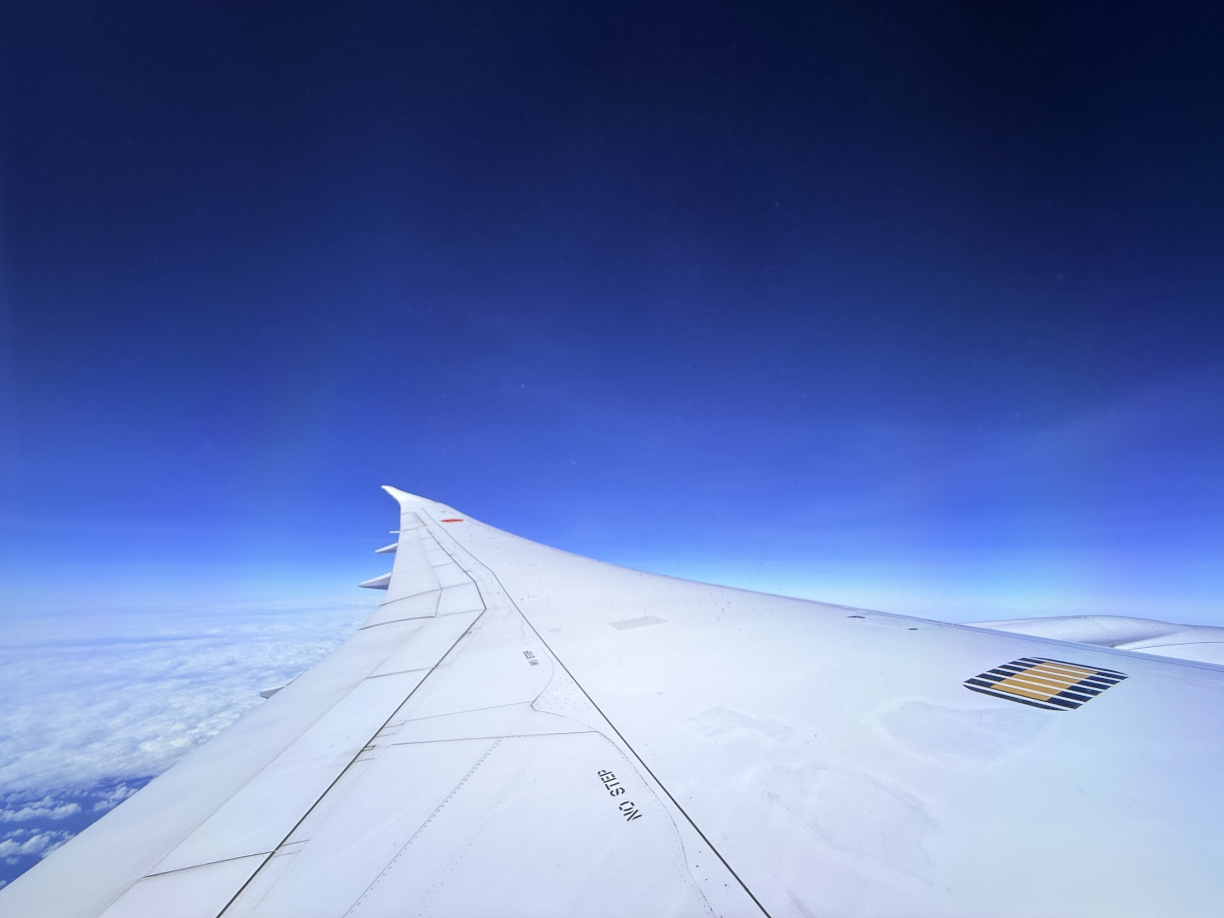
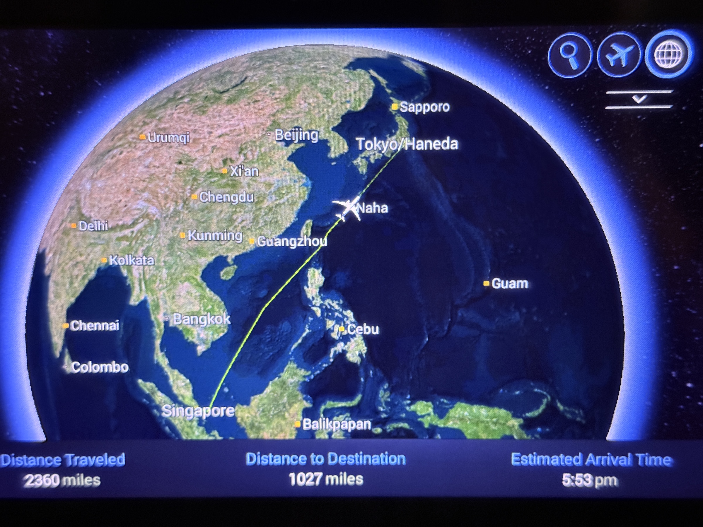
All went according to schedule, though, and off we were on the 6 hr 16 min flight to Tokyo’s Haneda airport.
We were northeast bound with a flight path that had Viet Nam to the west, and going between Taiwan to the north and the Philippines to the south.
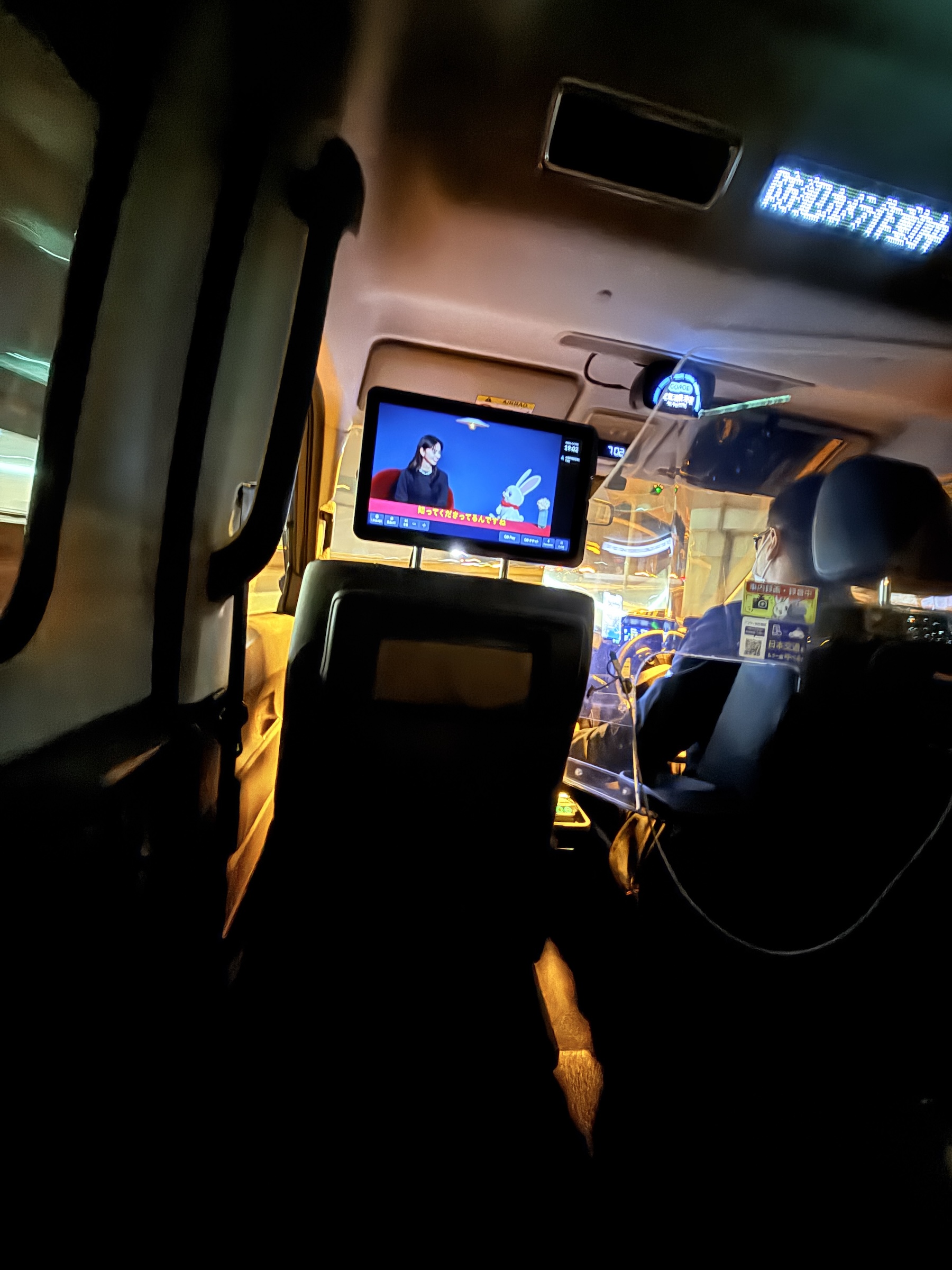
It was still Friday night rush hour on Tokyo’s trains upon my arrival, and I would have had to navigate my way out of Shinjuku station with bags in tow, the busiest of them all. (A station that handles 3.6 million passengers every day).
So Go Taxi it was, and the US $55 fare that brought me right to the entrance of the hotel was totally worth it.

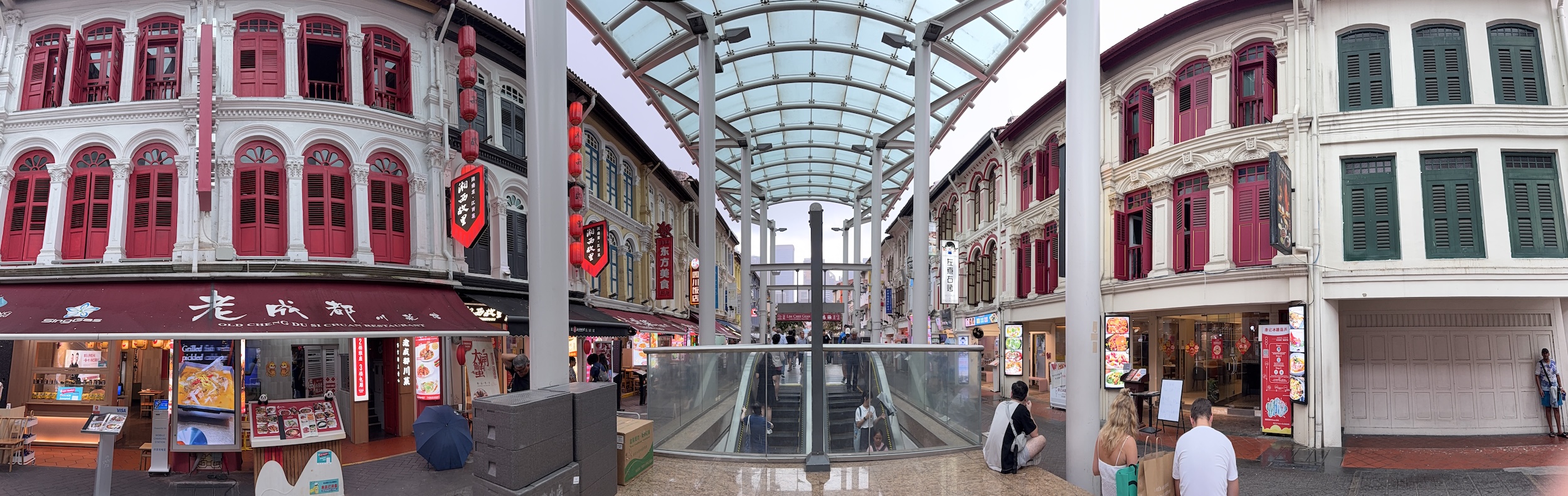
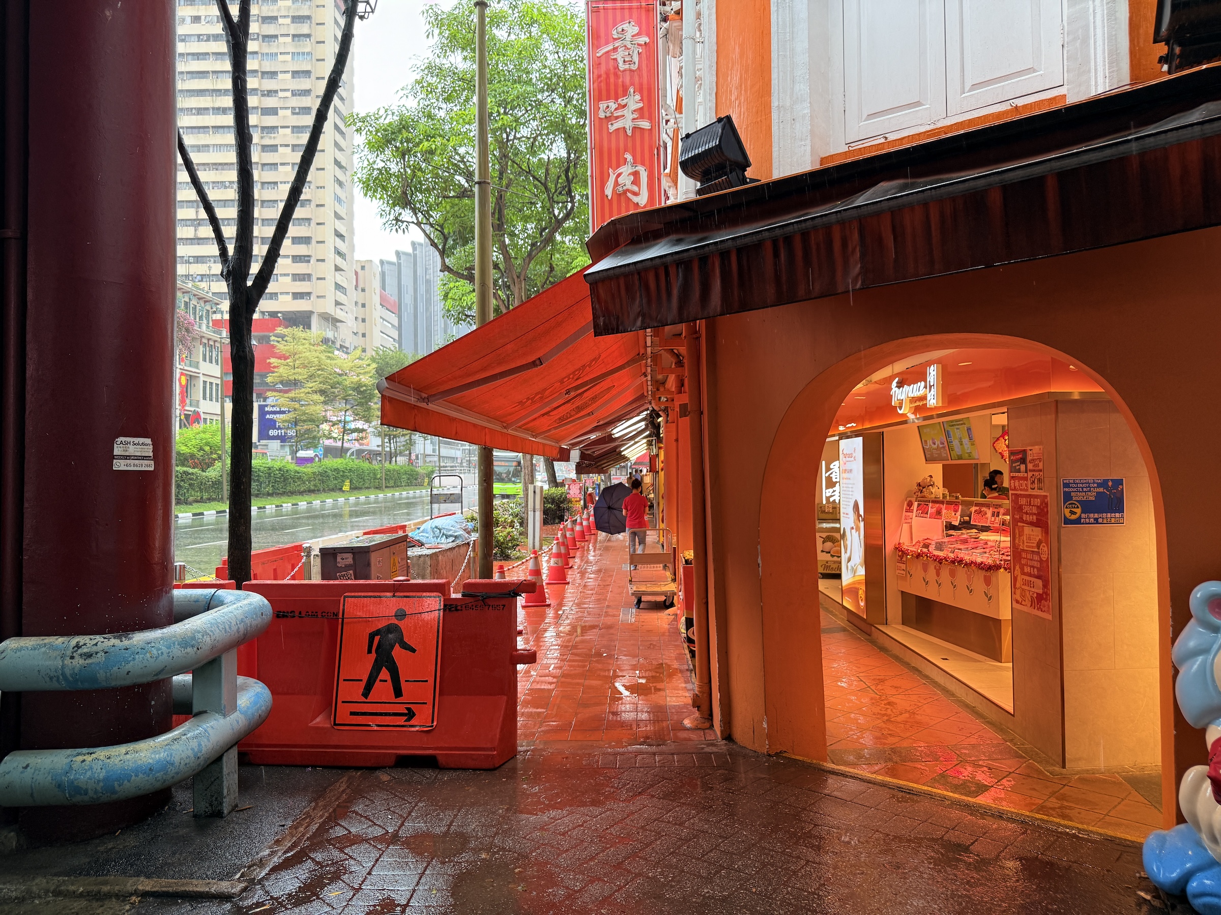
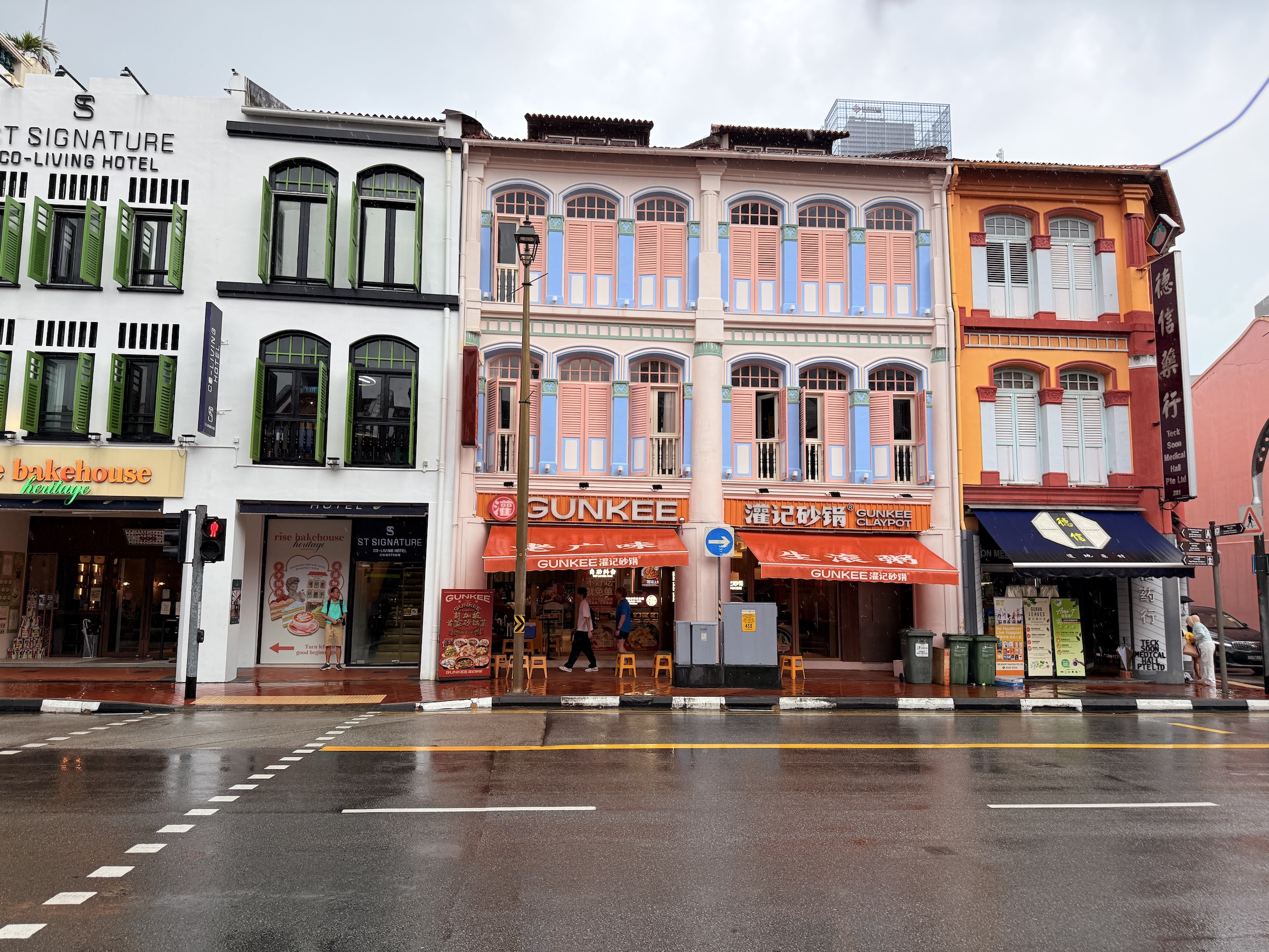
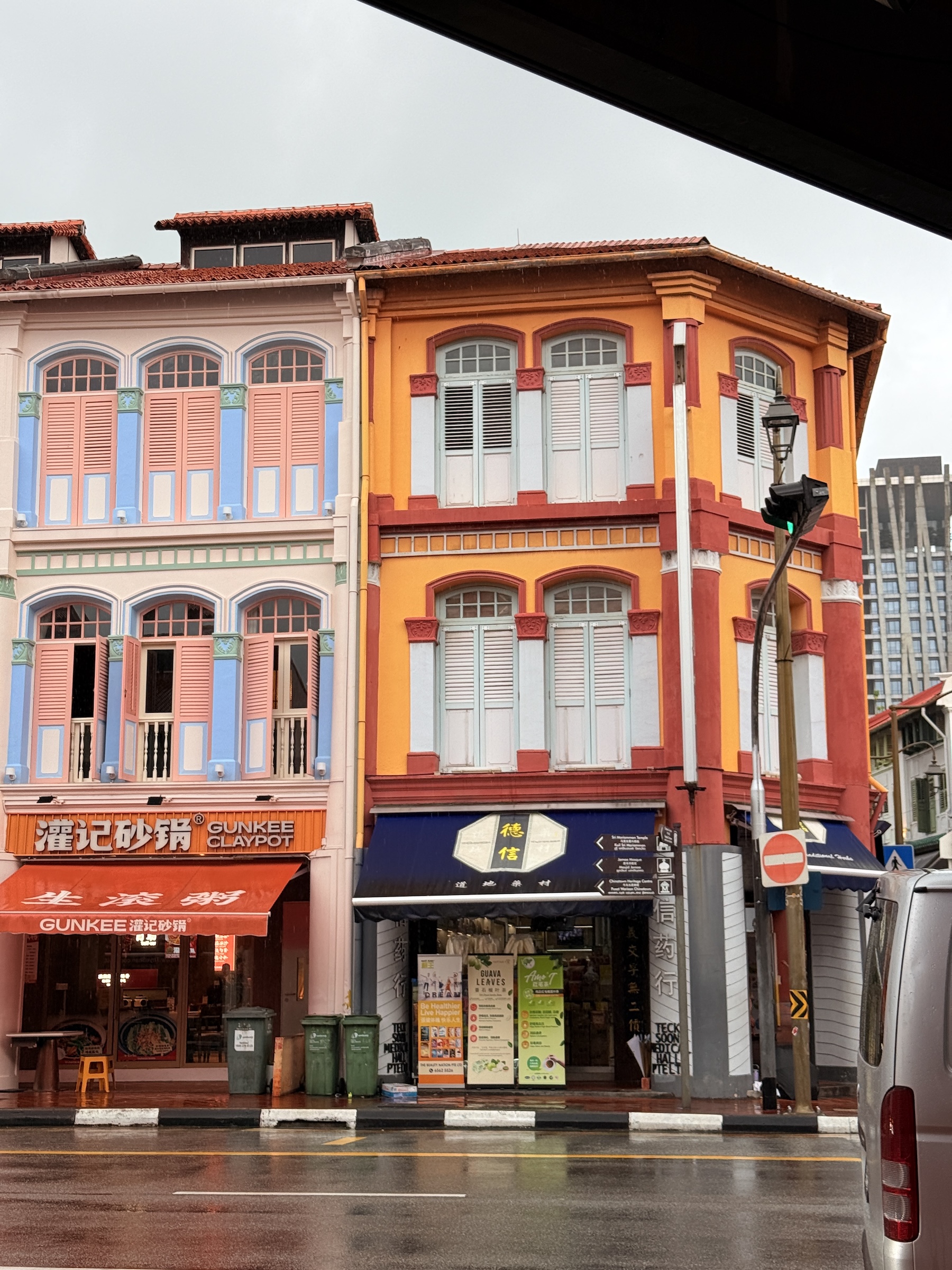
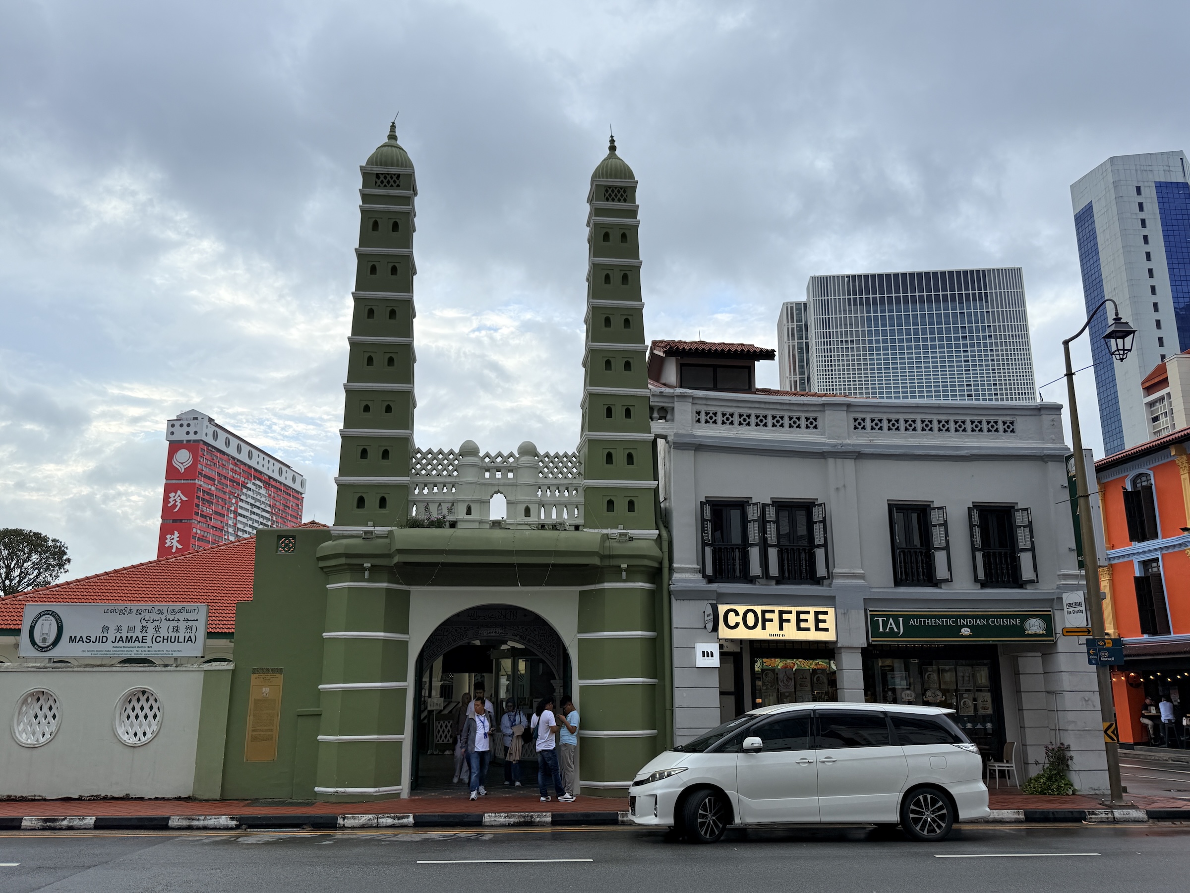
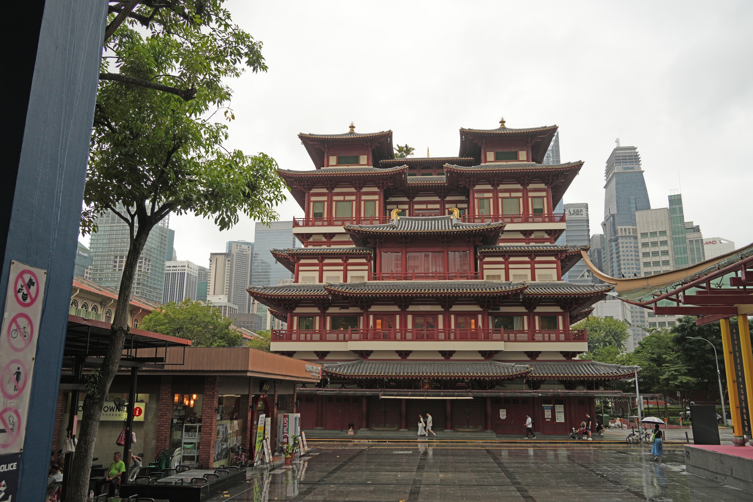
Singapore has one of the oldest Chinatowns in the world.
The area around Pagoda Street has been a hub for the Chinese immigrants in Singapore since 1330.
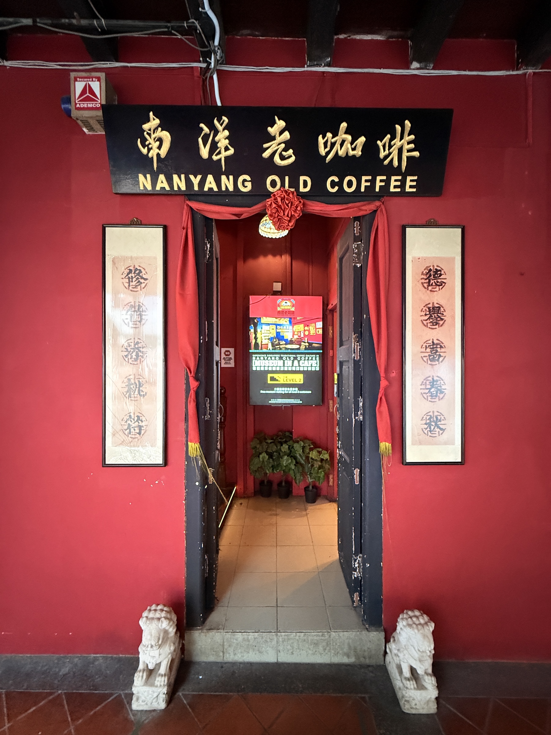
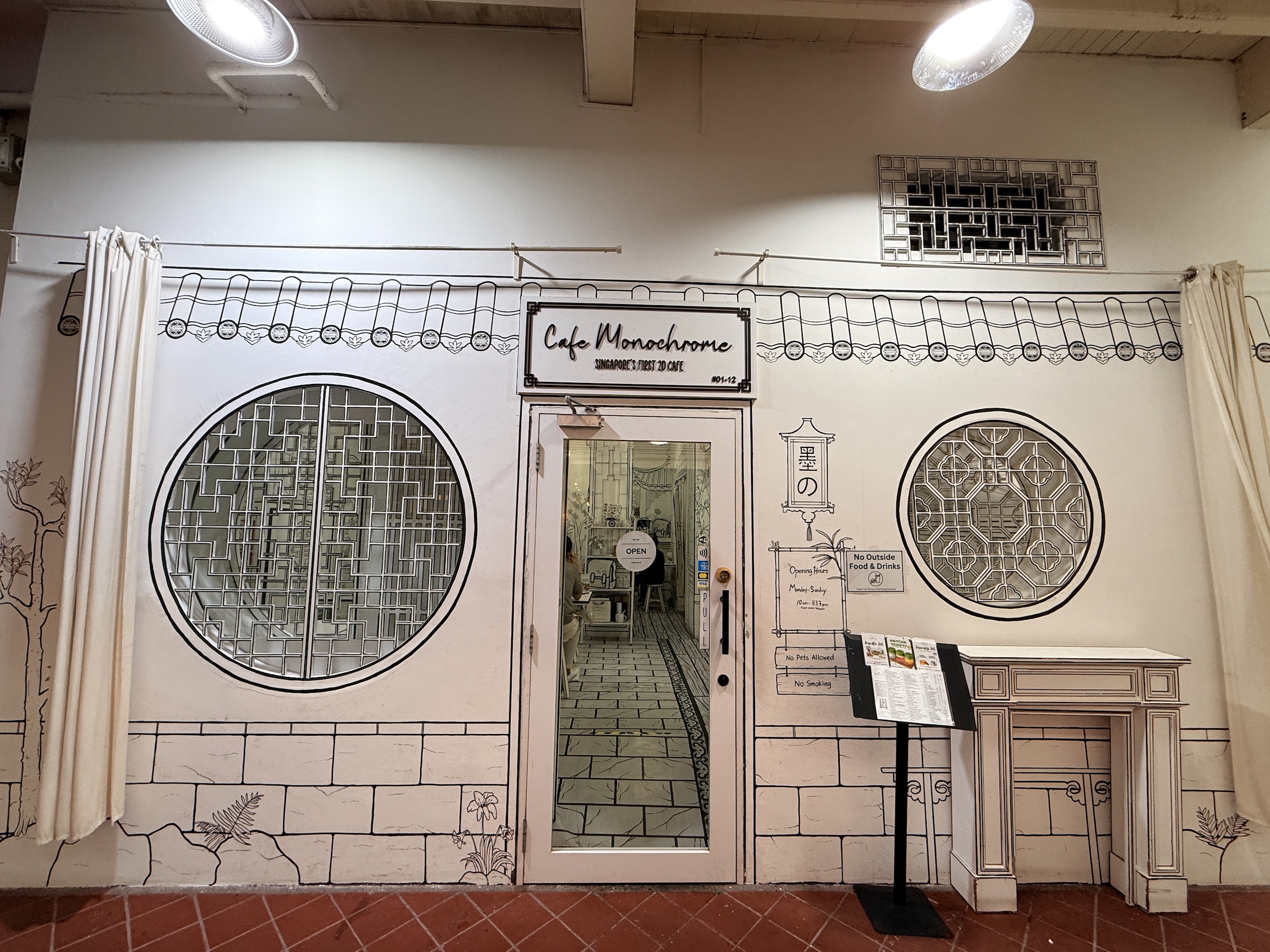
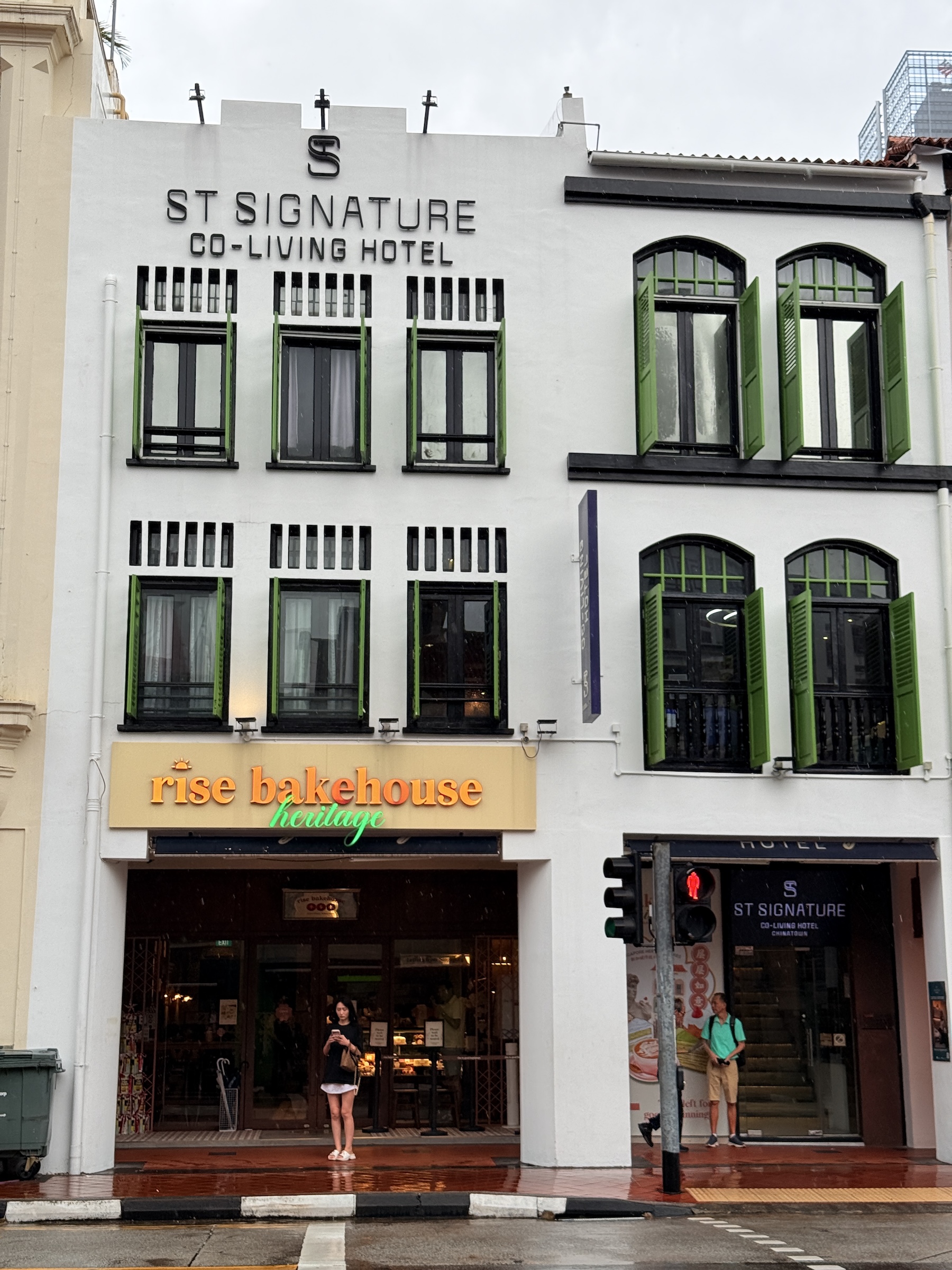
To this day it has traditional shophouses, but also modern stores and busy street markets.
I sipped my coffee outside the Starbucks on Smith Street, while listening to a beautiful song in a language I will never understand or learn 😢, as the smell of freshly cut durian from a nearby vendor wafted through the air.
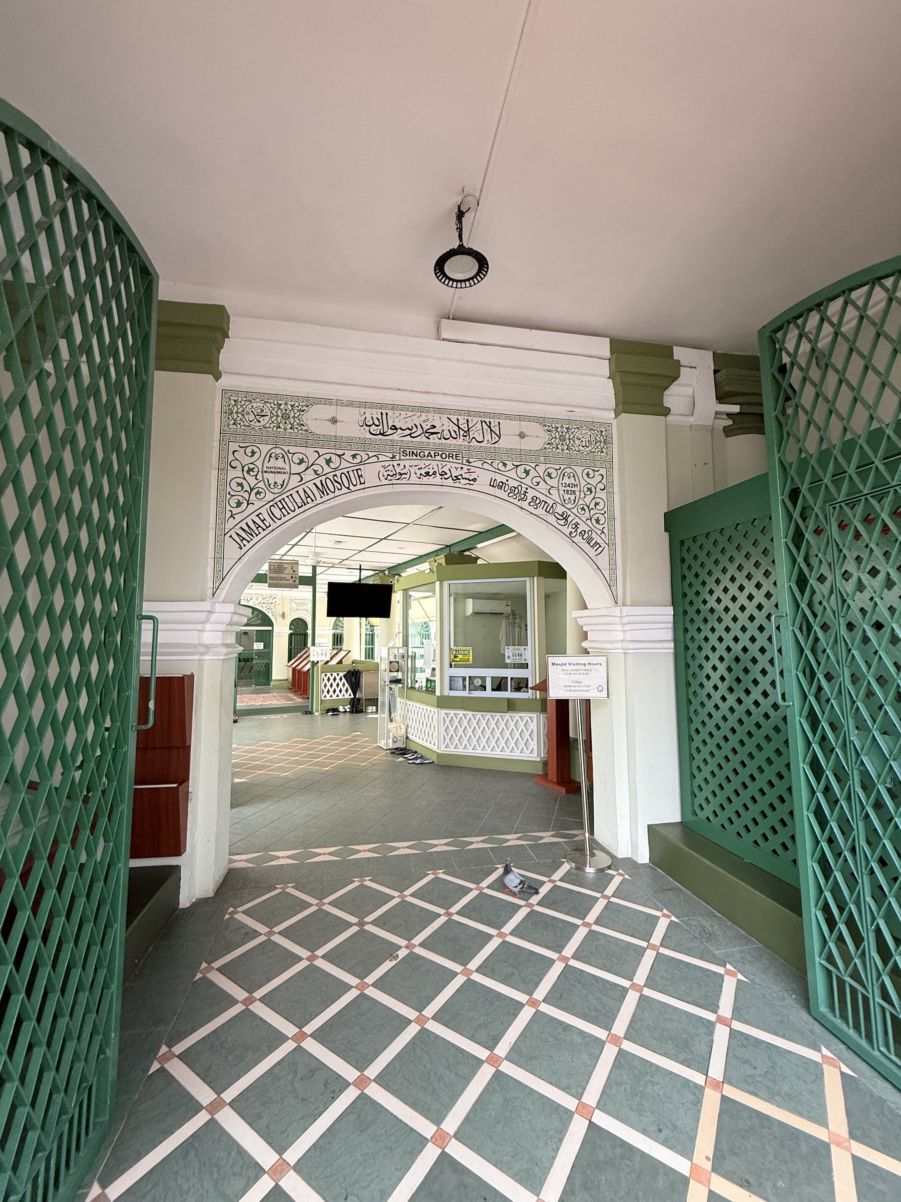
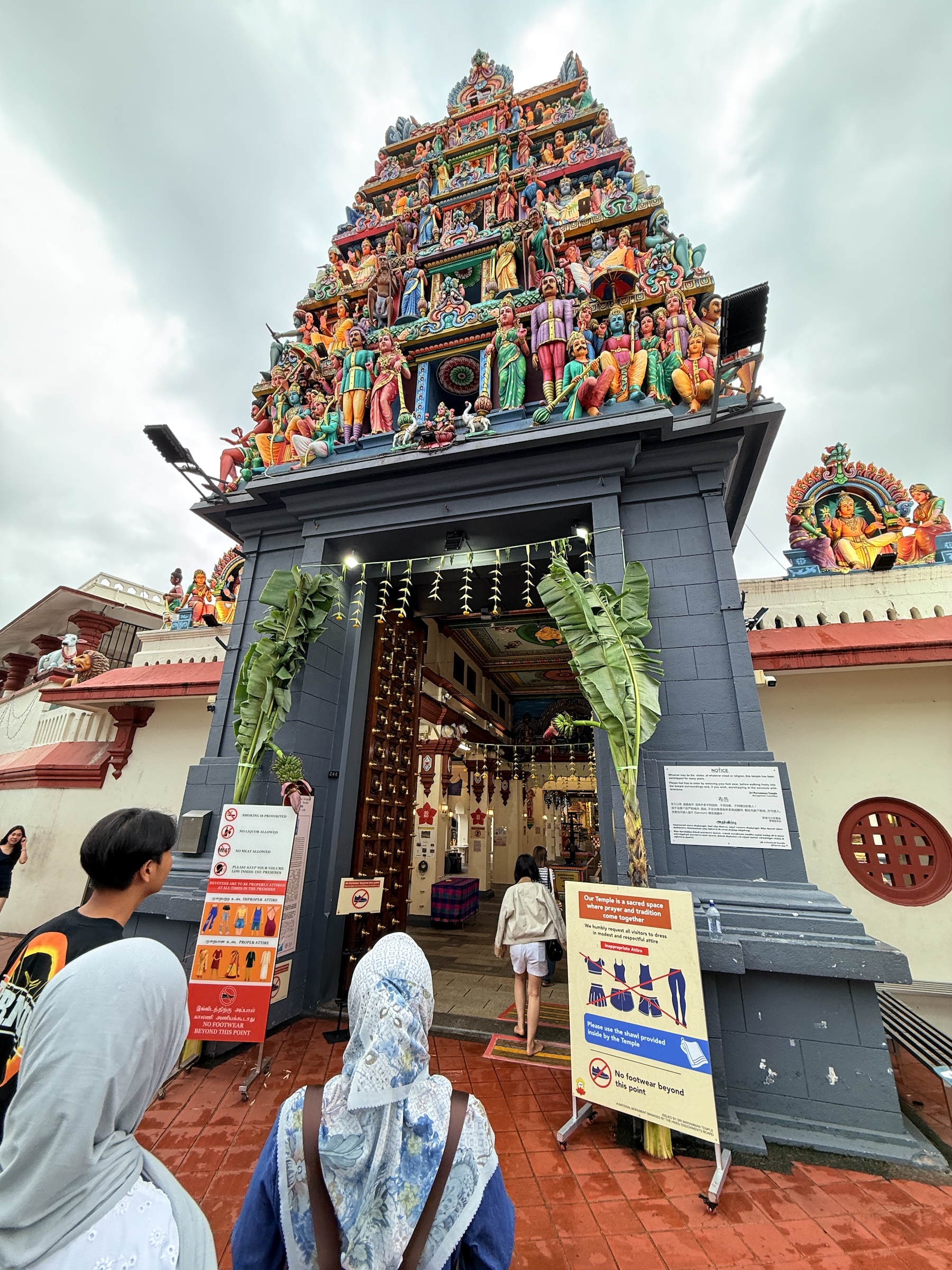
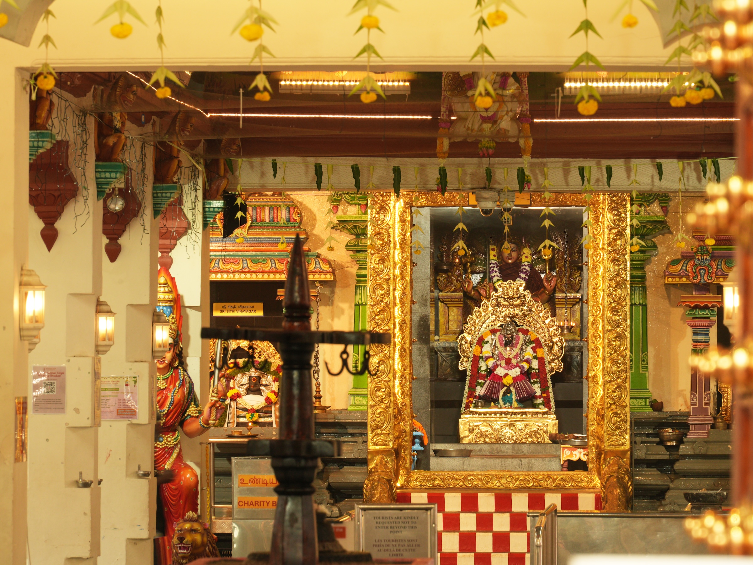
The mosque is Masjid Jamae (built in 1820), and the Hindu temple is Sri Mariamman. These are the sources of strange sounds—very, very strange to the Western ear— the calls to prayer from the mosque, and clanging and chants from the inside the Hindu temple.
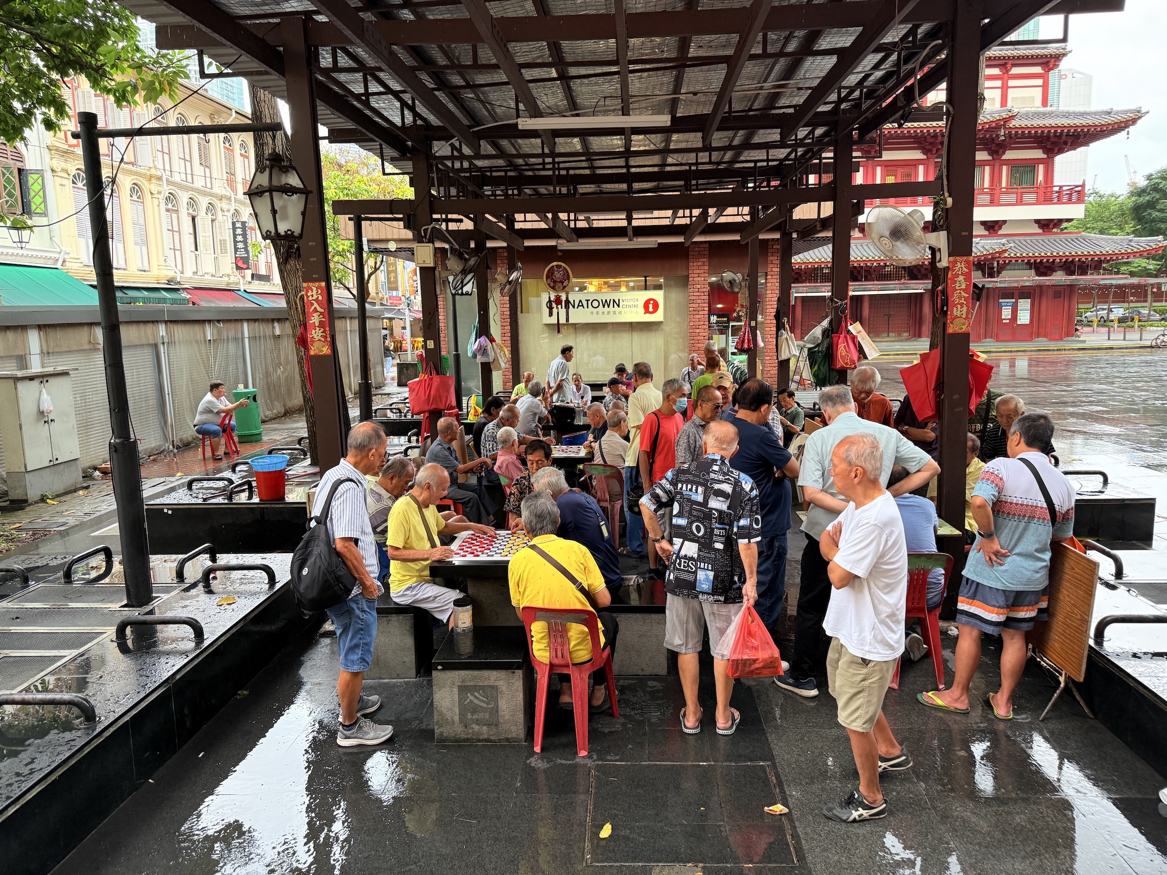
The last two pictures are is of the main plaza in Chinatown.
I love the public space with the old-timers that are there just to shoot the breeze, or to play a game of checkers.


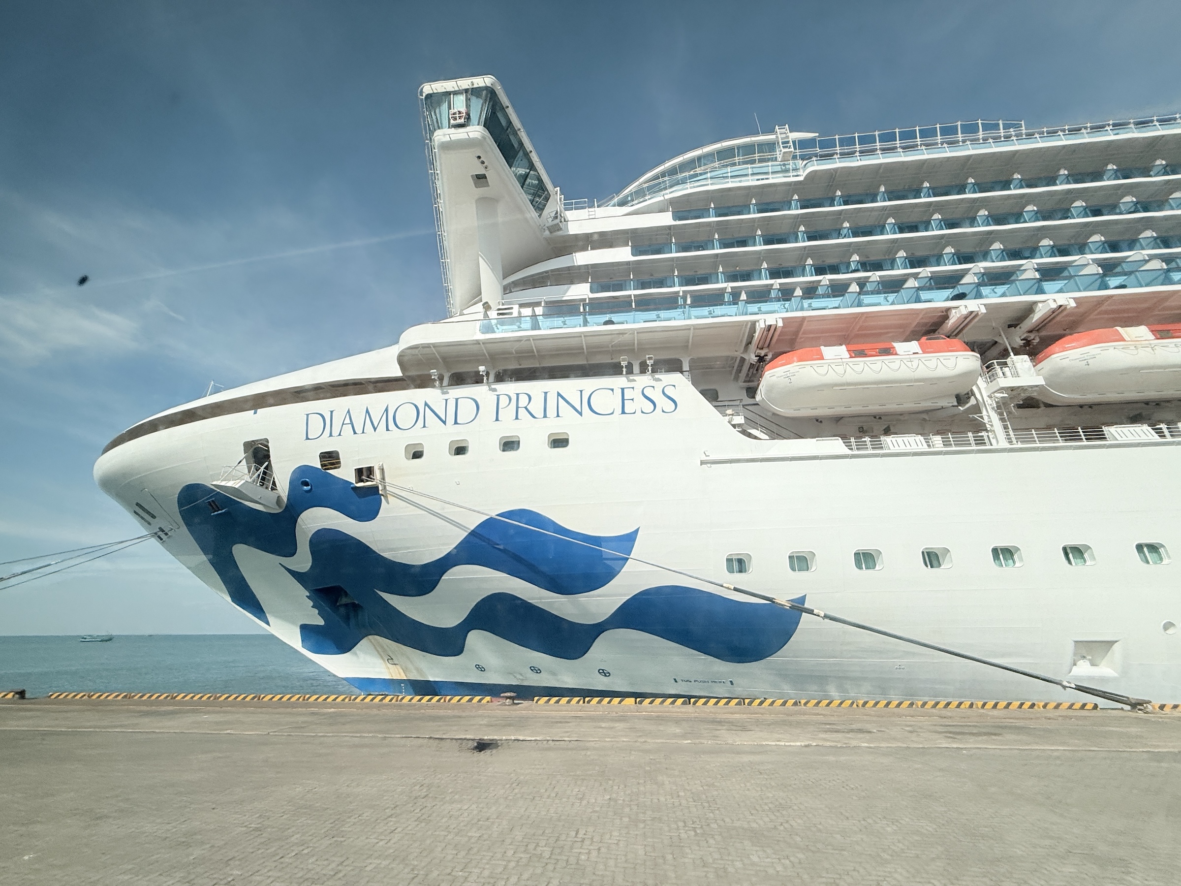
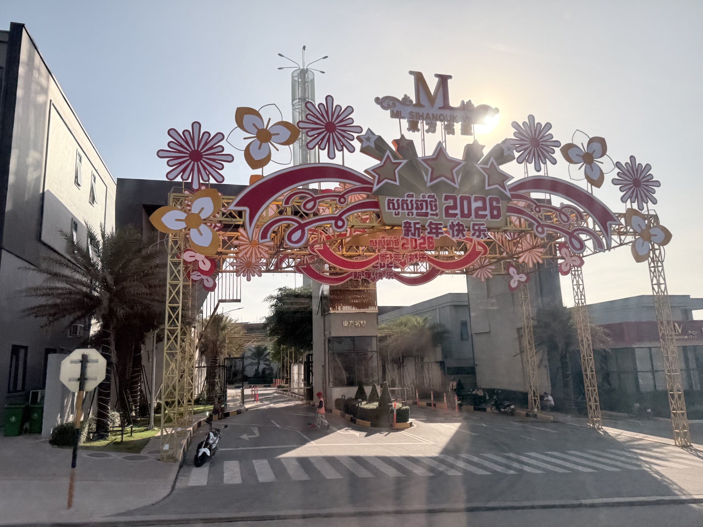
The Diamond Princess arrived at Preah Sihanouk (Sihanoukville) at 7 am this morning.
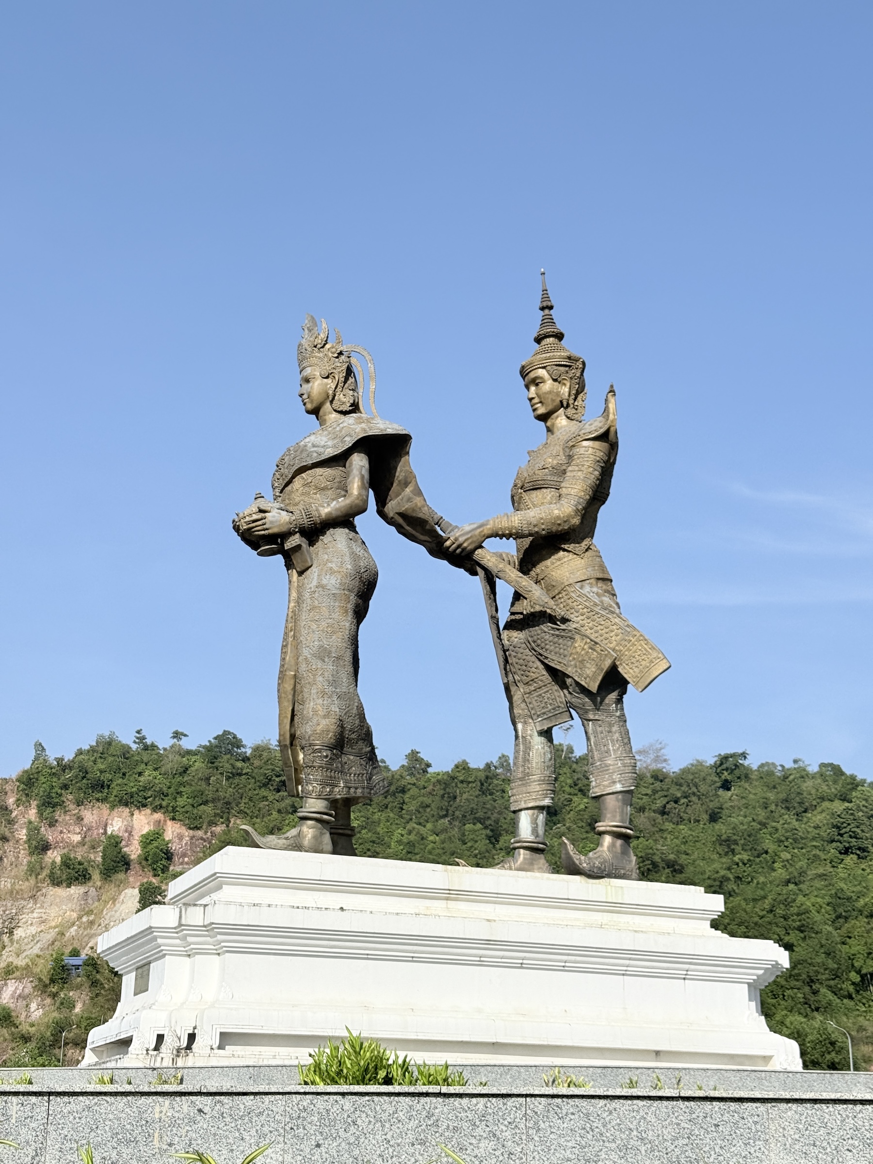
The tour bus that took us to Ream National Park and the beaches on the Gulf of Thailand first made its way through Sihanoukville, with a stop at the ‘love monument’. The love monument is a a massive copper sculpture depicting the legendary Khmer couple Prince Preah Thong and Naga Princess Neang Neak, symbolizing the origin of Khmer civilization and culture, located at a major roundabout facing the sea.
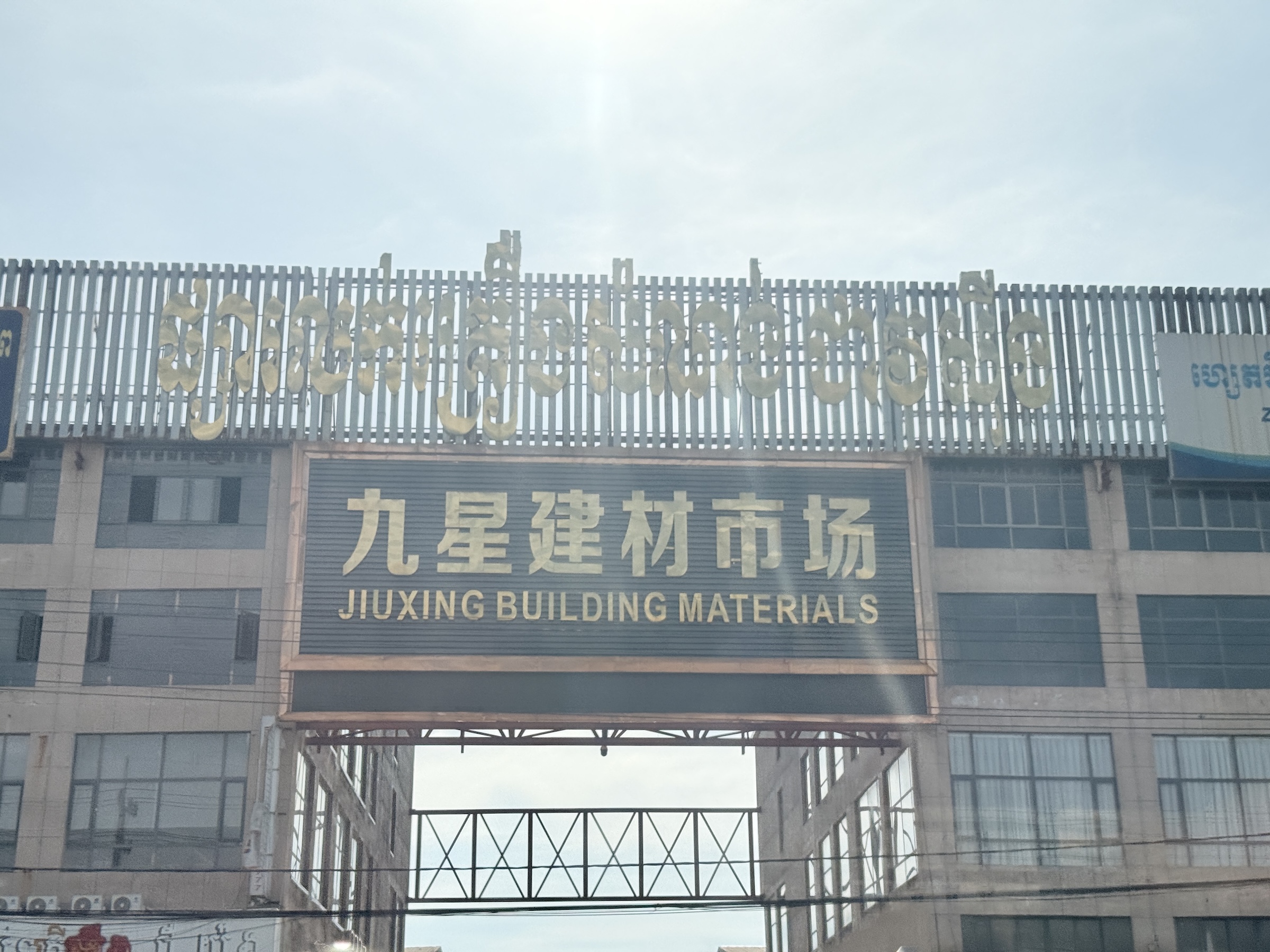
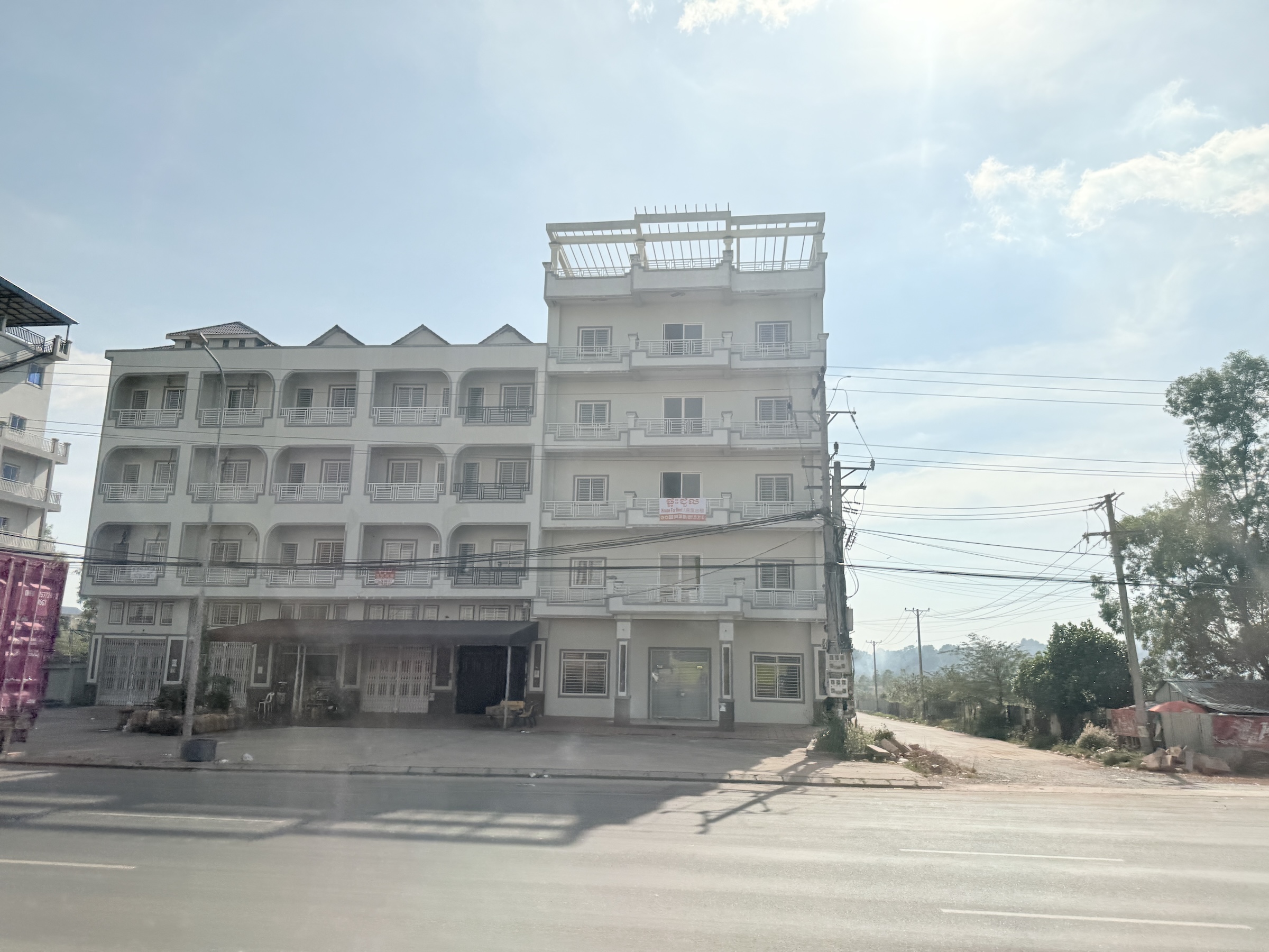
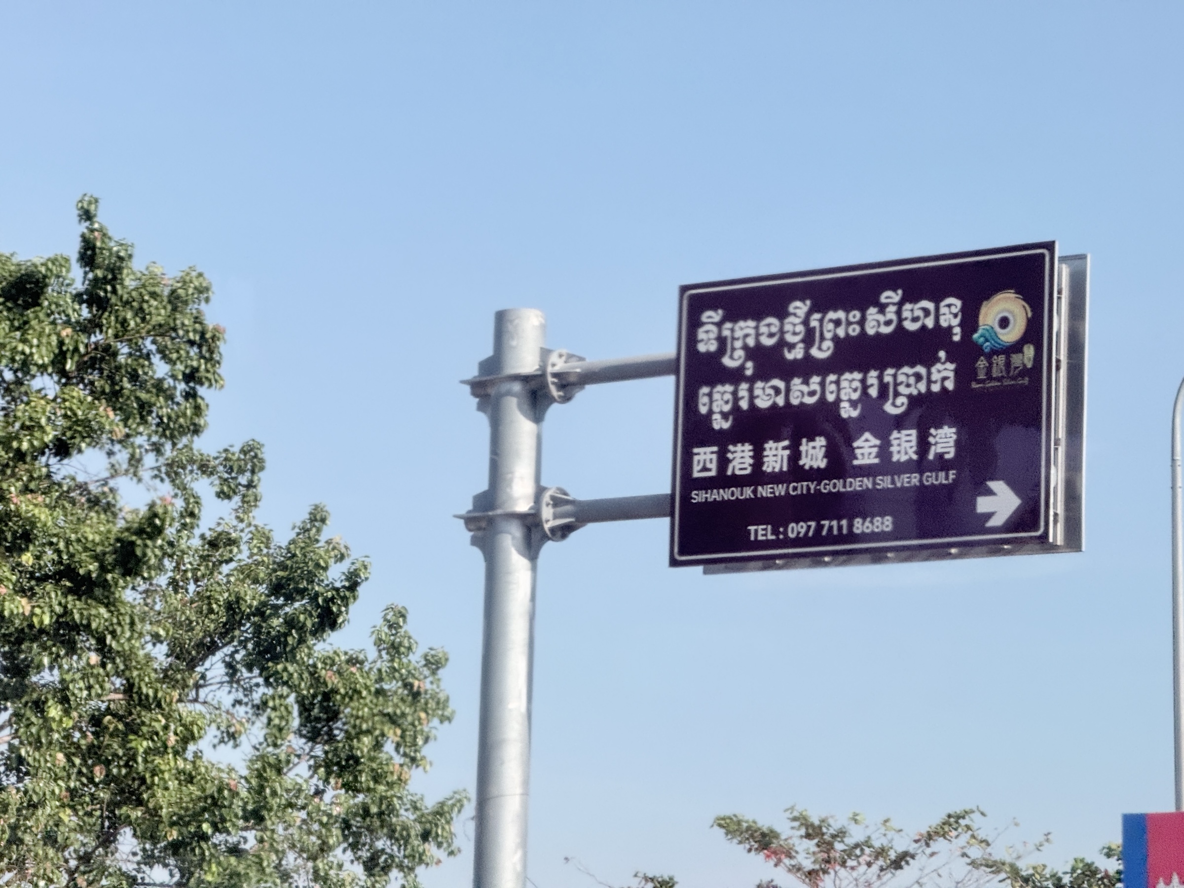
There were a lot of abandoned buildings lining the streets Sihanoukville: many of them projects by Chinese investors and entrepreneurs that were abandoned after the Covid pandemic had forced the stoppage of work on them.
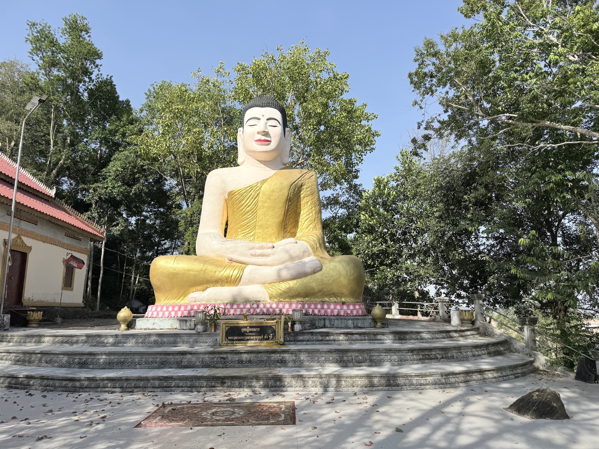
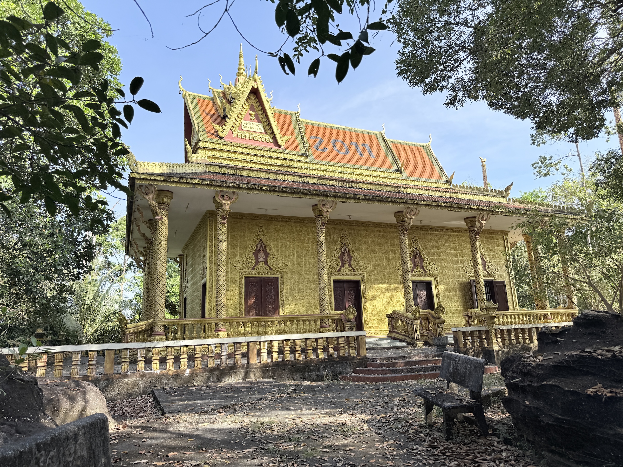
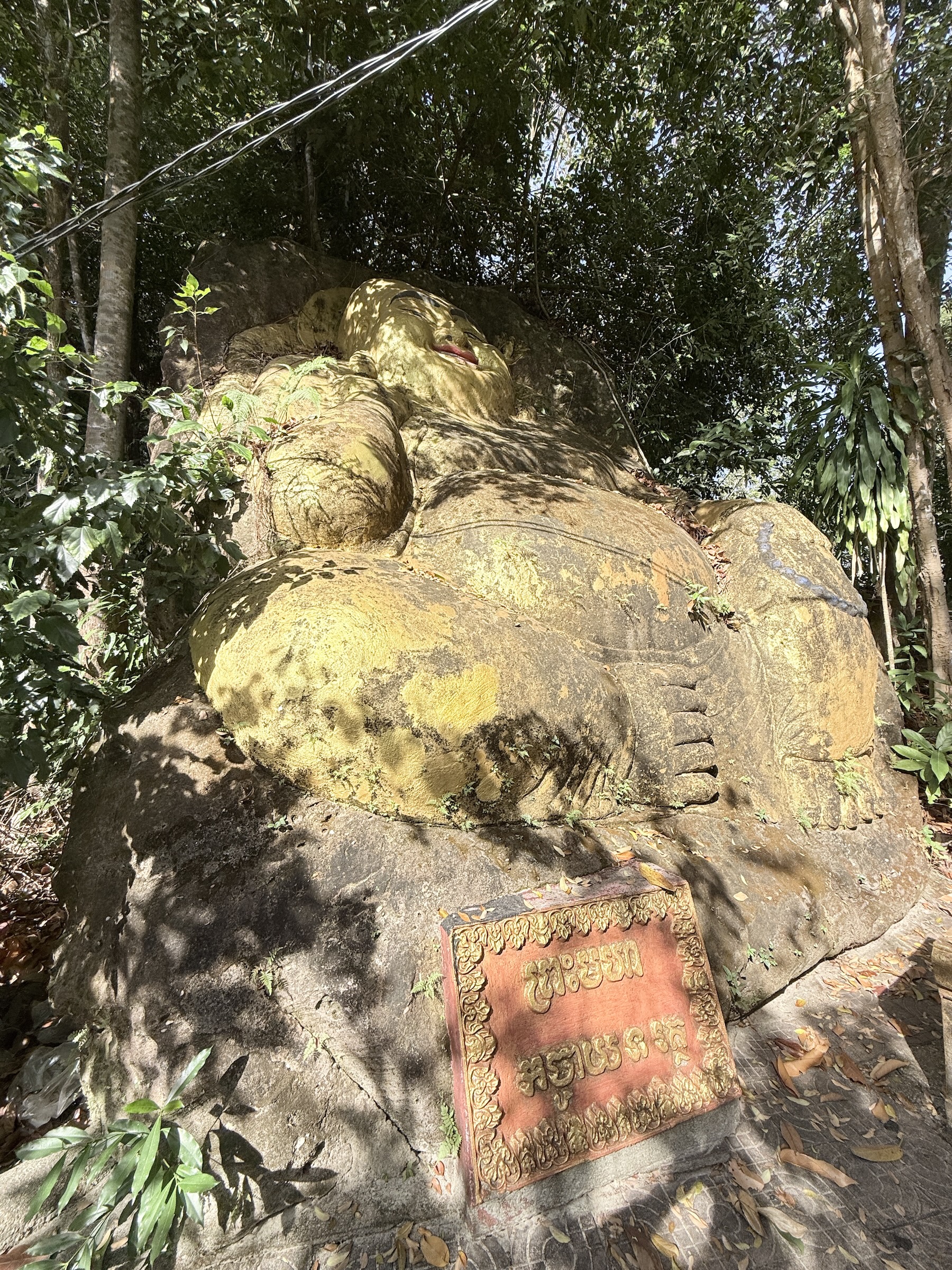
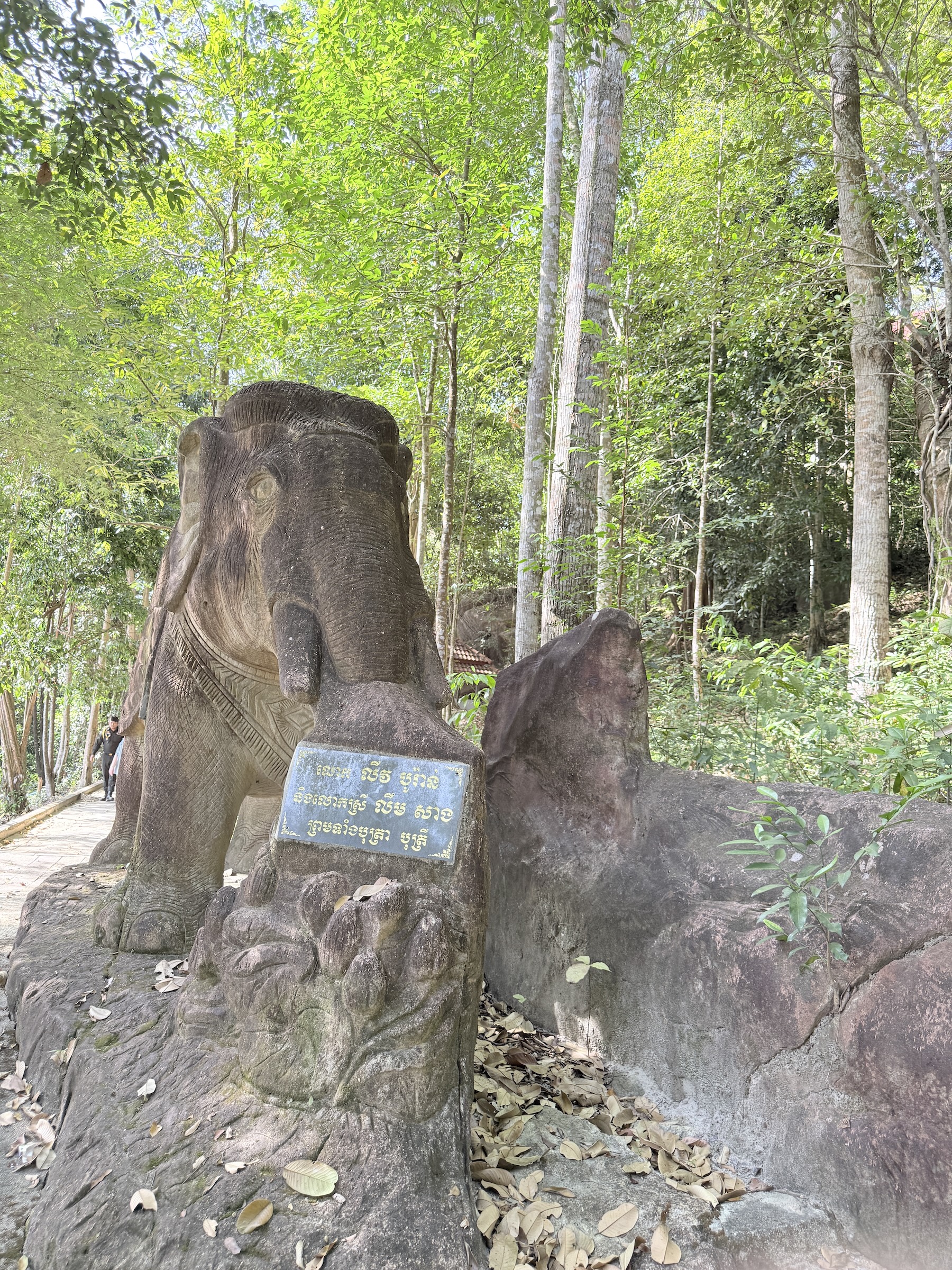
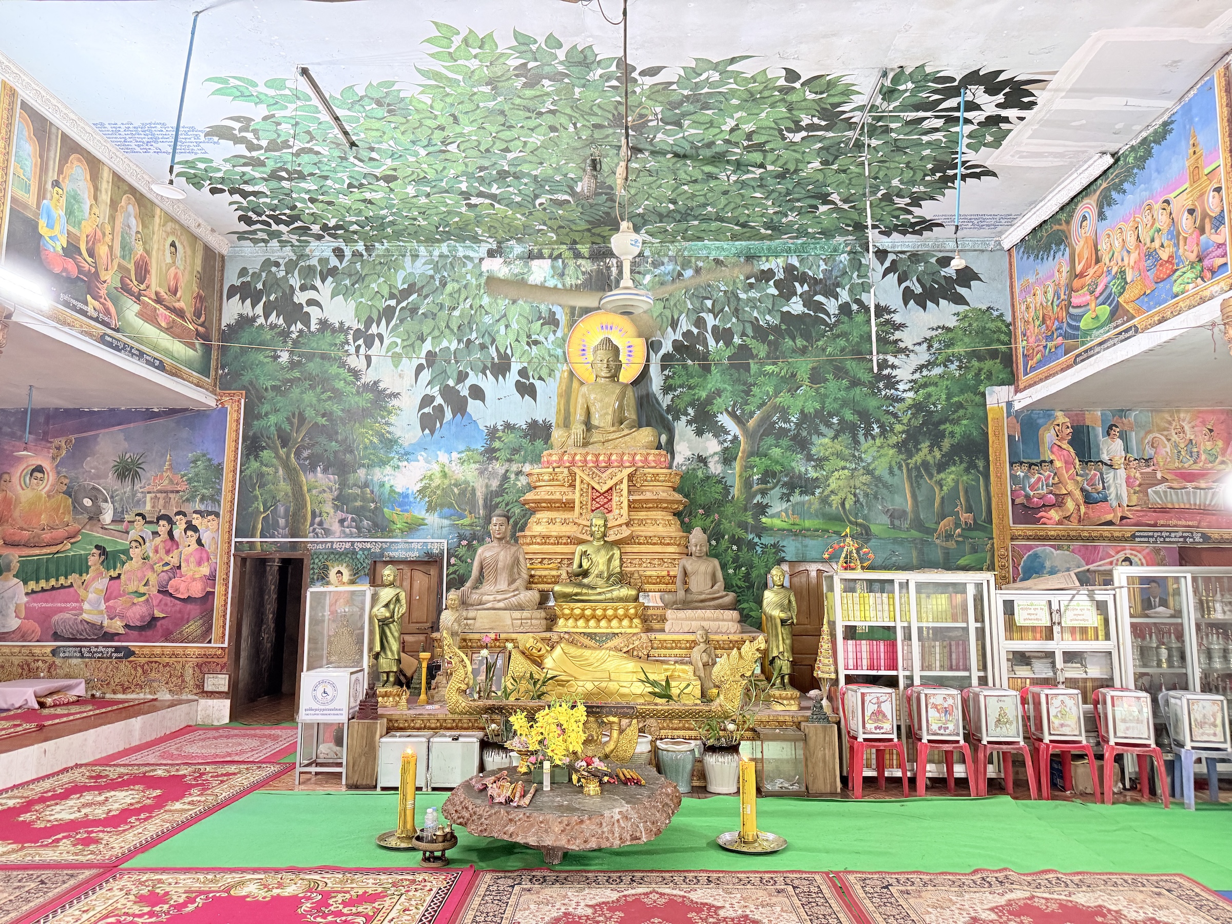
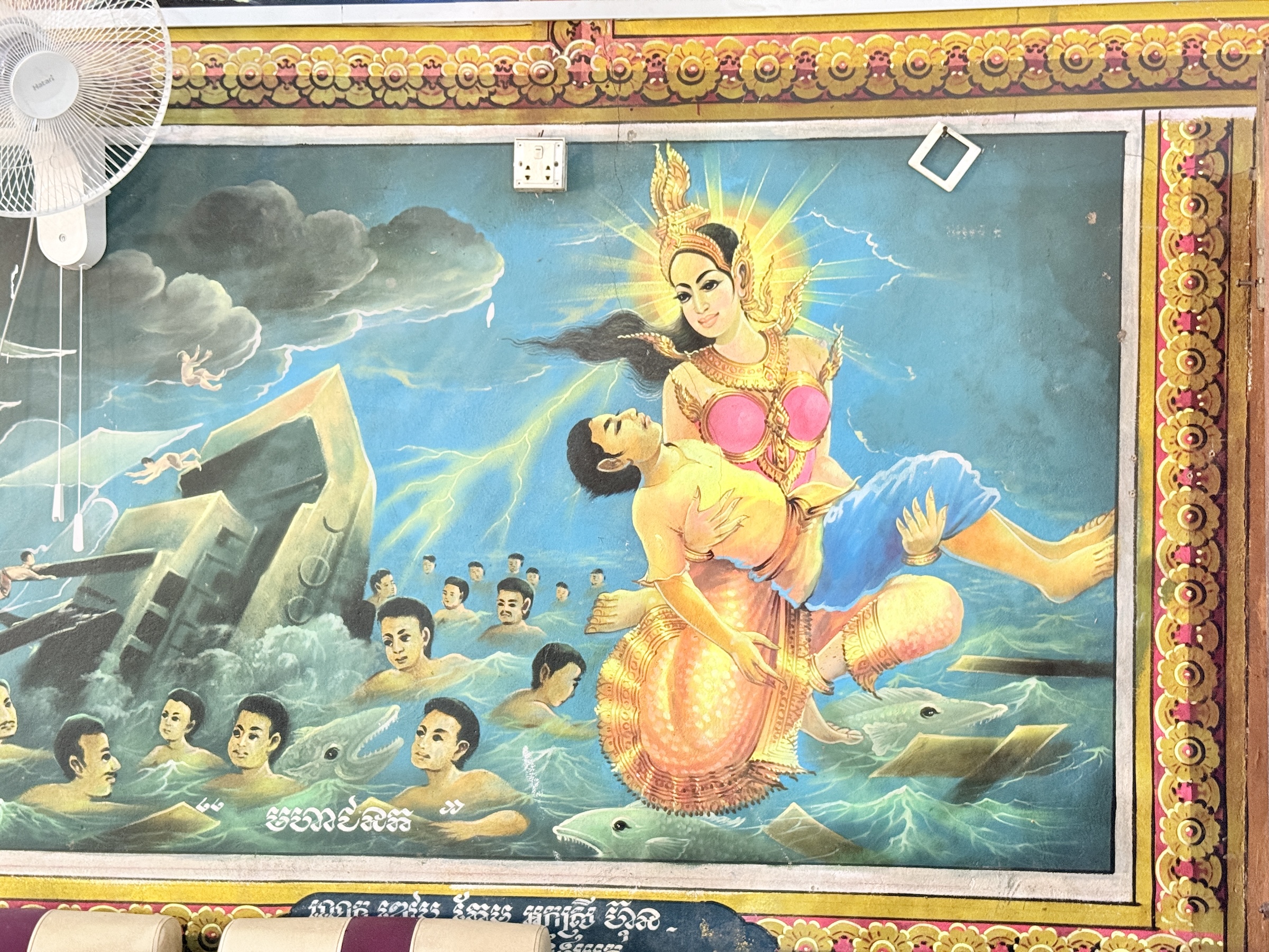
The next stop was at a Buddhist compound with several temples, and Buddhas. (Theravada Buddhism is practiced by over 90% of the population).
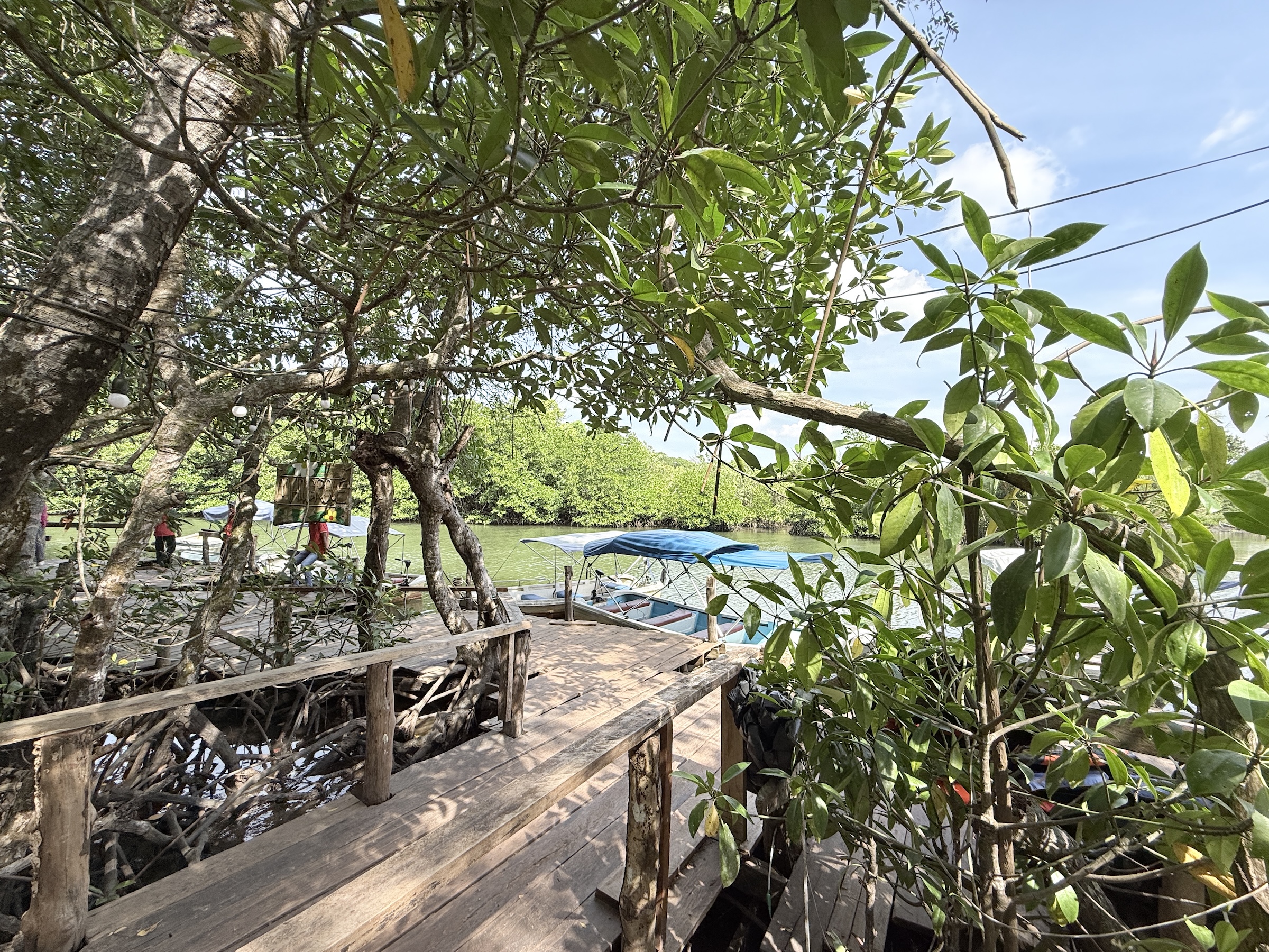
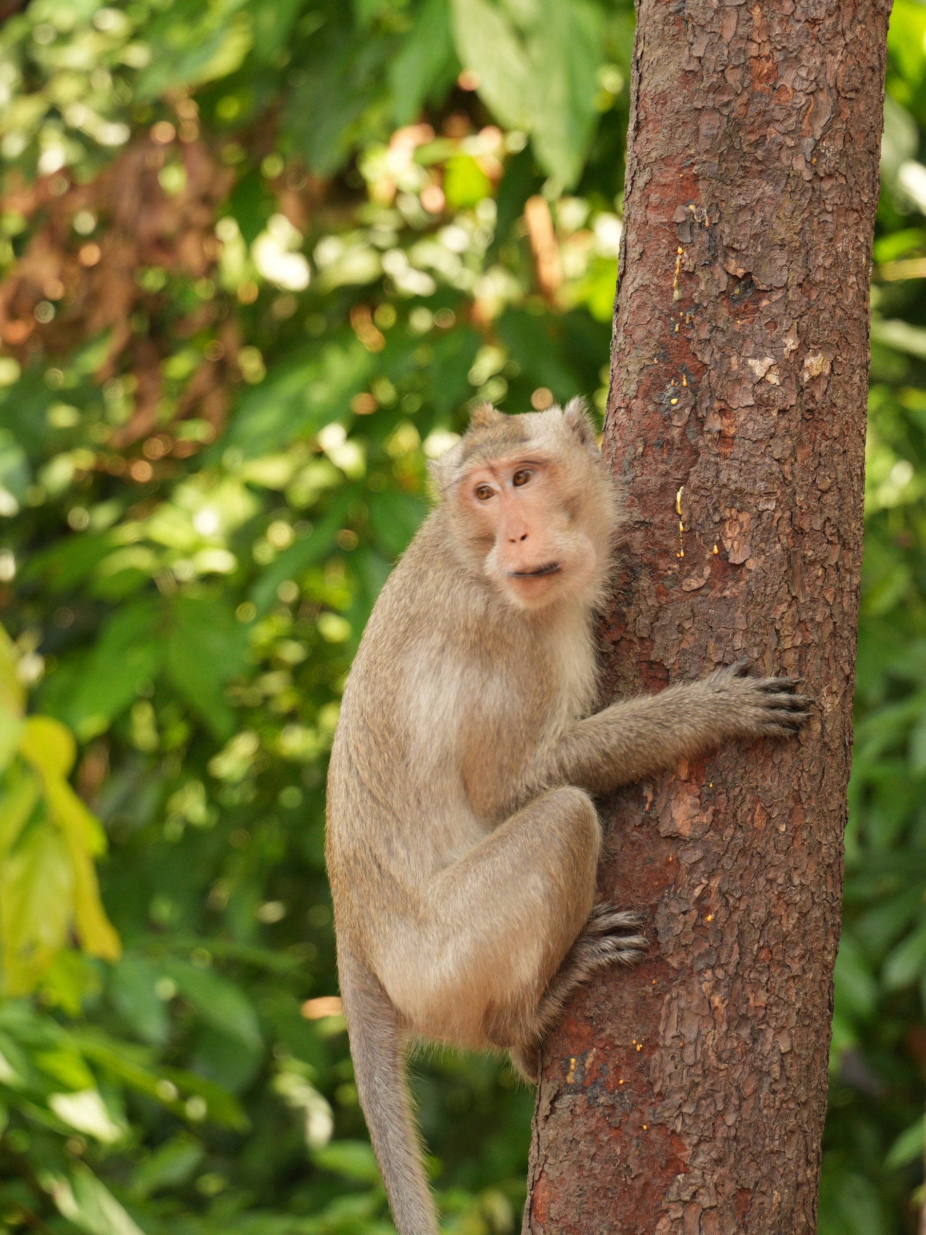
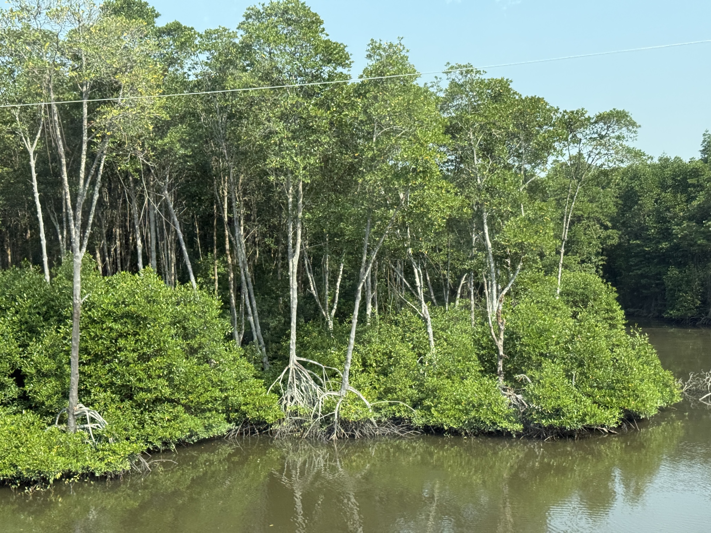
After that it was off to the beaches of Sampounch Island, and the national park. We did a little motor boat cruise through the mangroves and walked on an elevated plank walkway through the forest. There was not a single bird in sight, but we ran into a few long-tailed macaques right at the end of the walk.
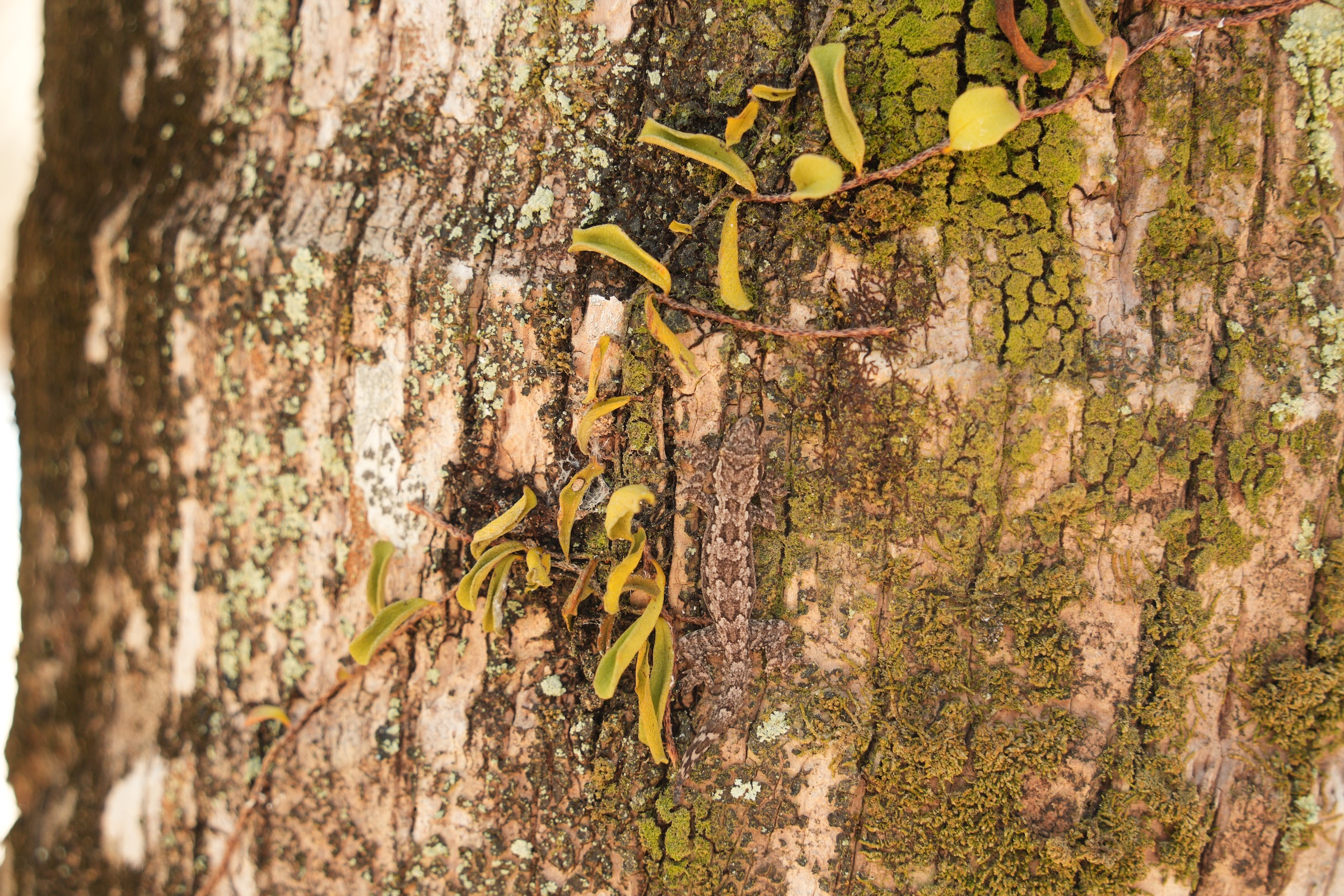
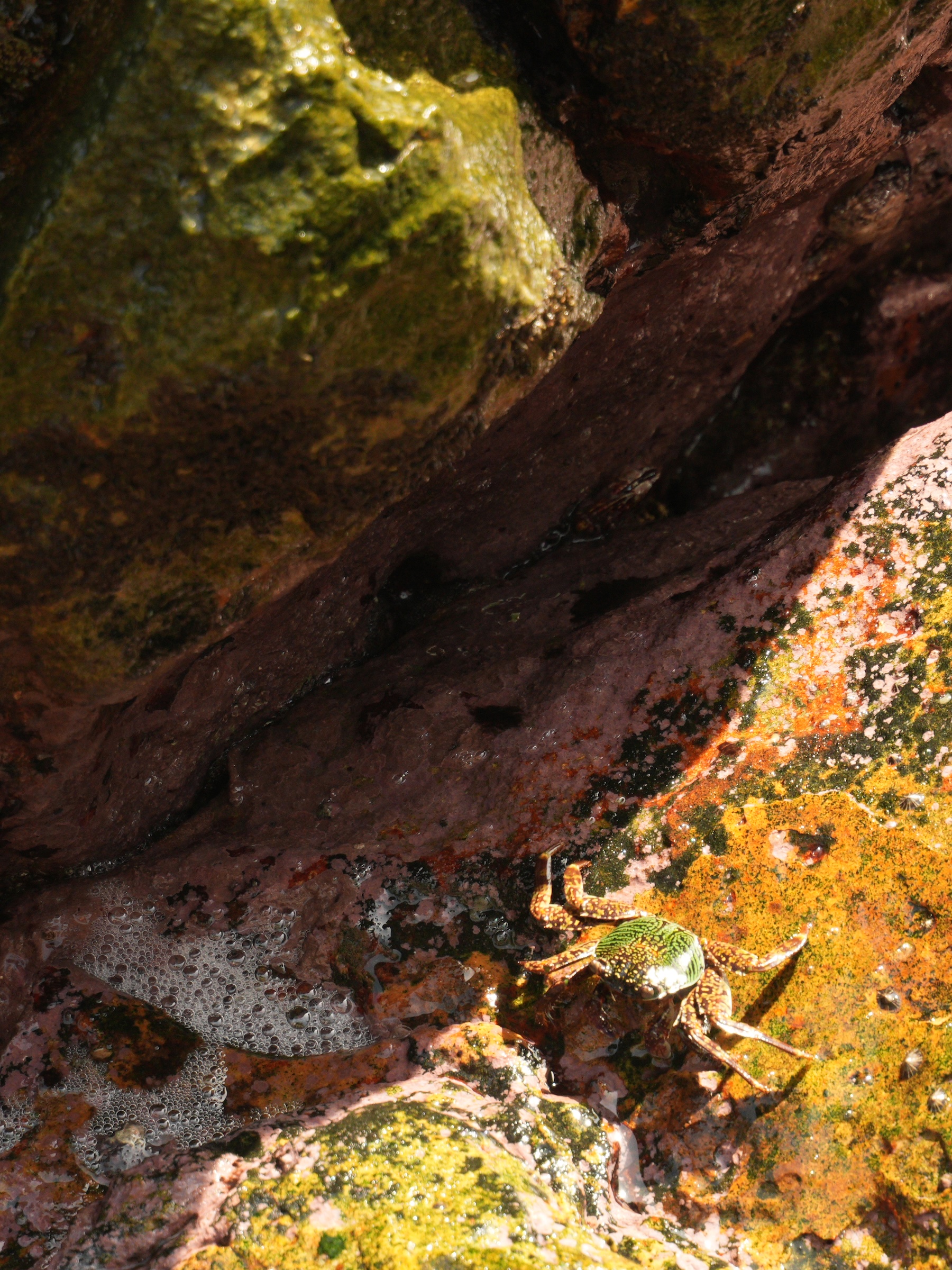
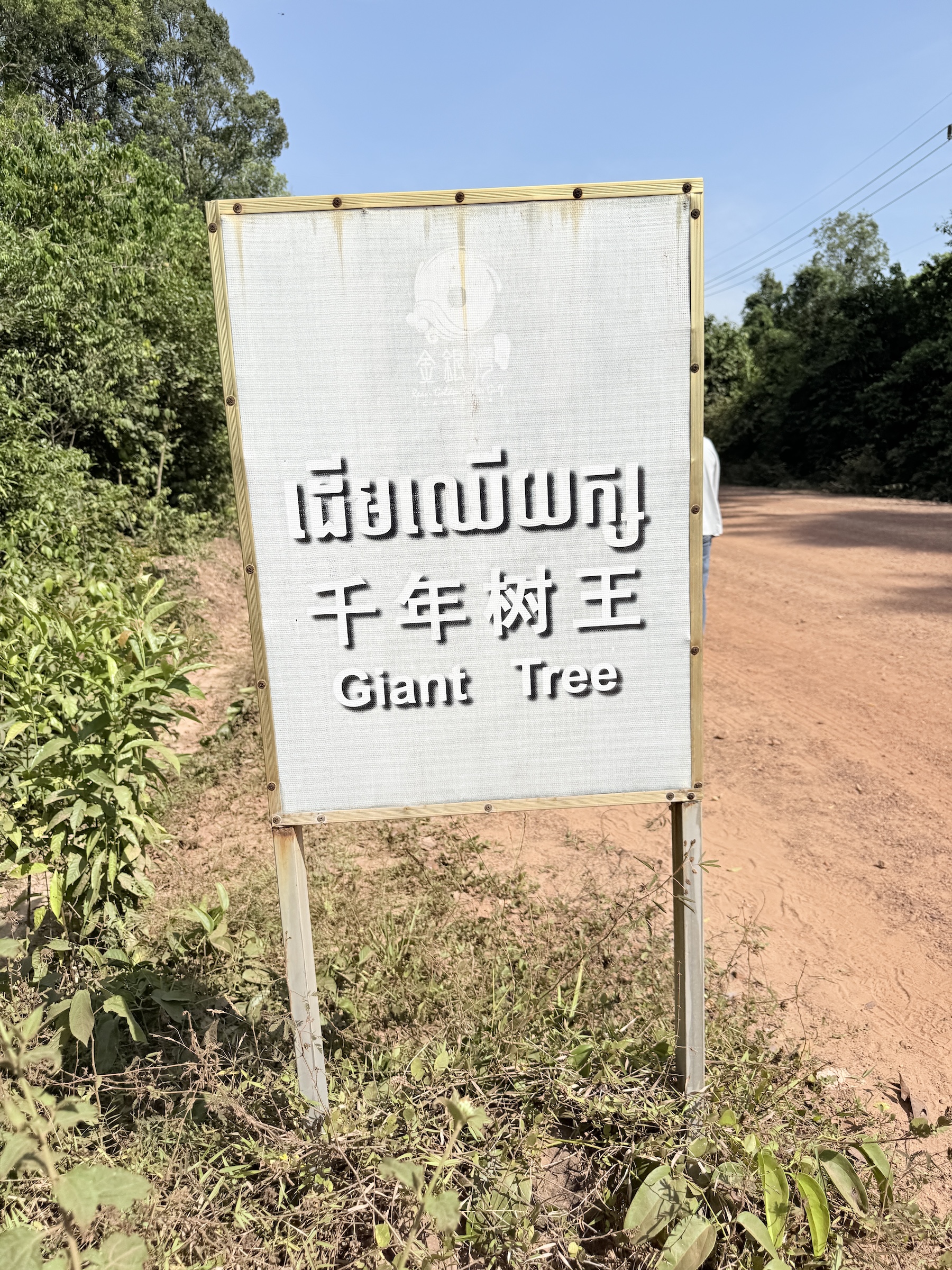
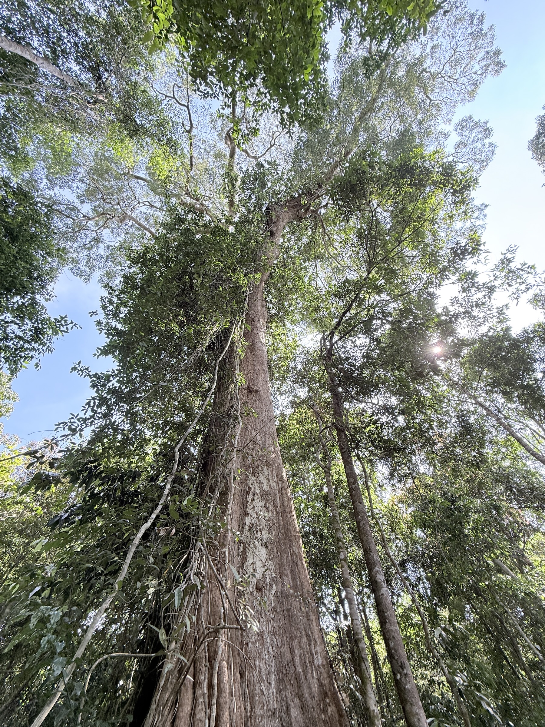
The other beach pictures and the crab, the gecko, the snake and the giant tree are near the beach at the Ream Boutique Hotel. We had lunch there, and a dip in the lukewarm waters of the Gulf of Thailand.
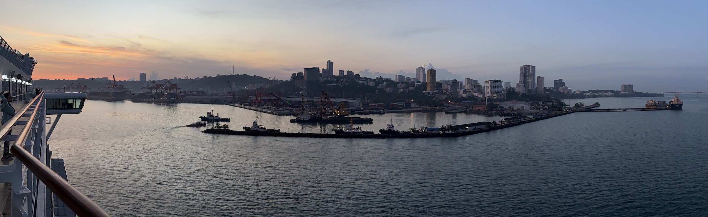


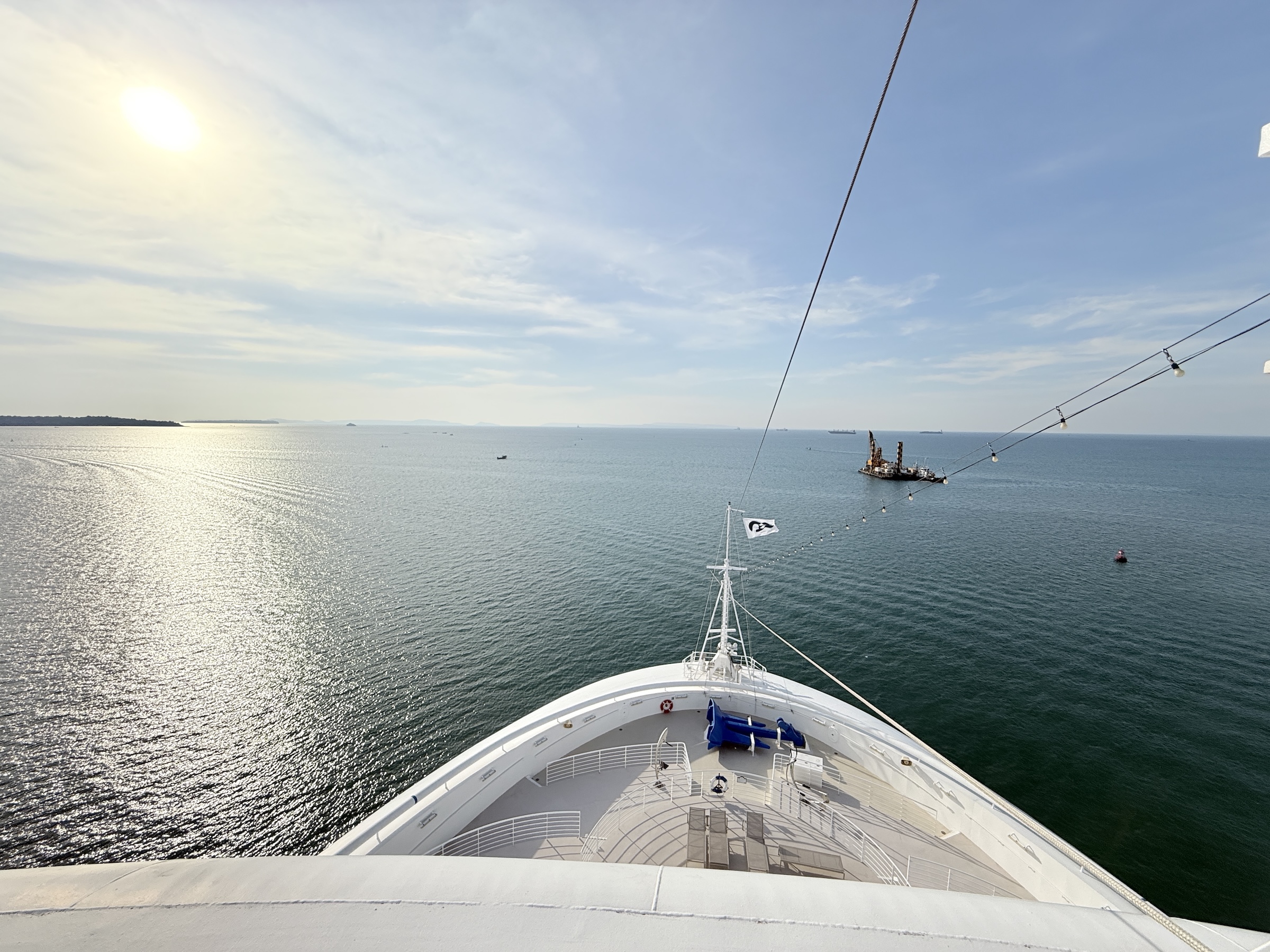
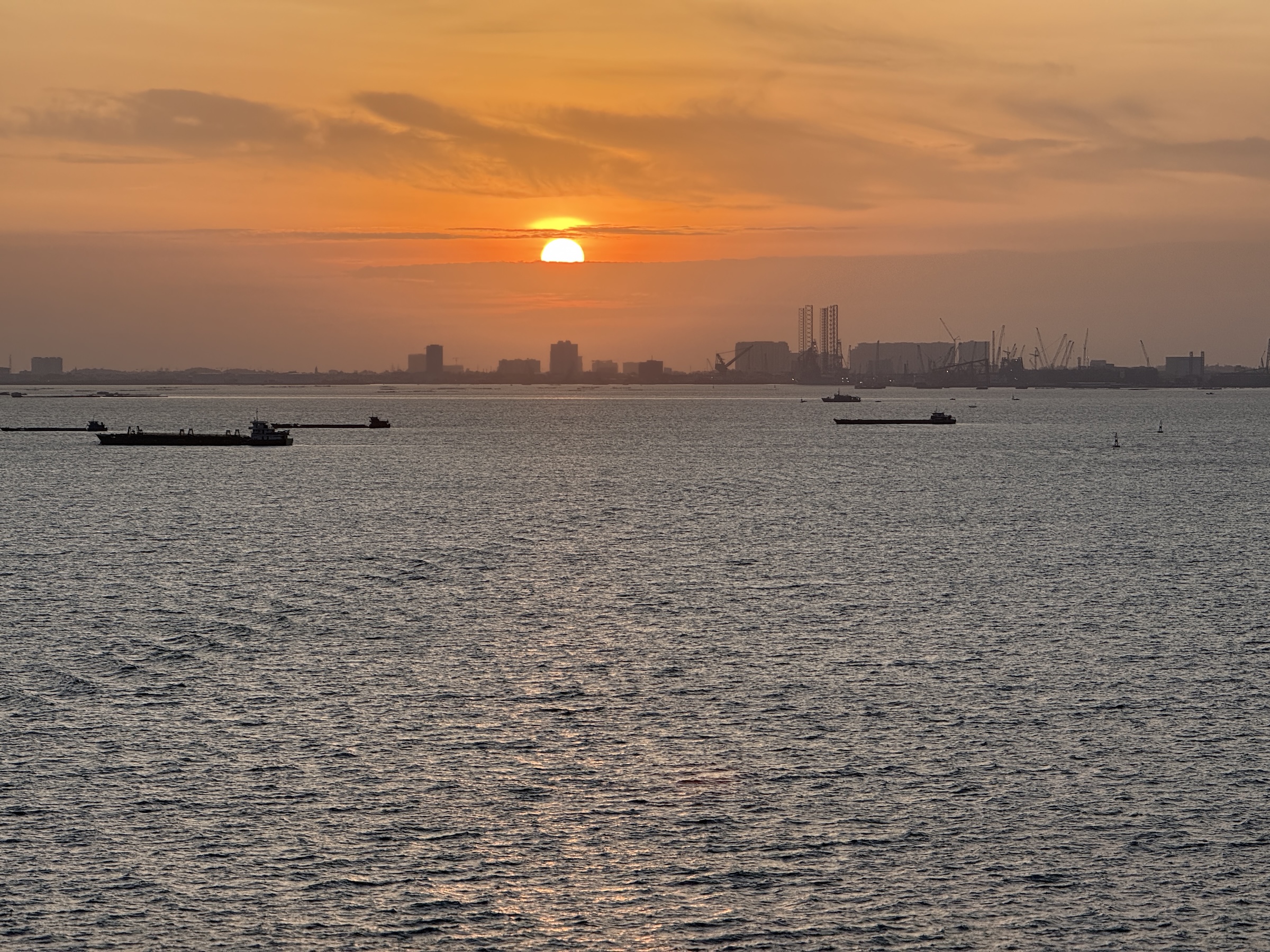
The Diamond Princess arrived at the deep-water port of Phú Mỹ at 8 am on Saturday morning.
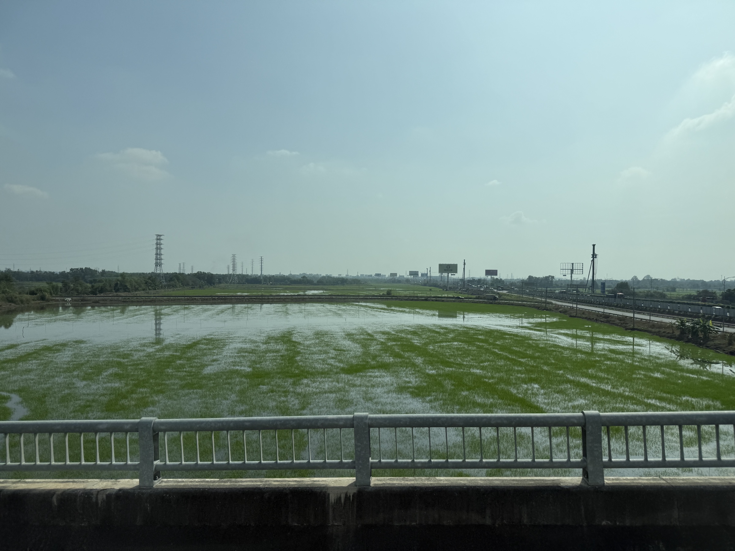
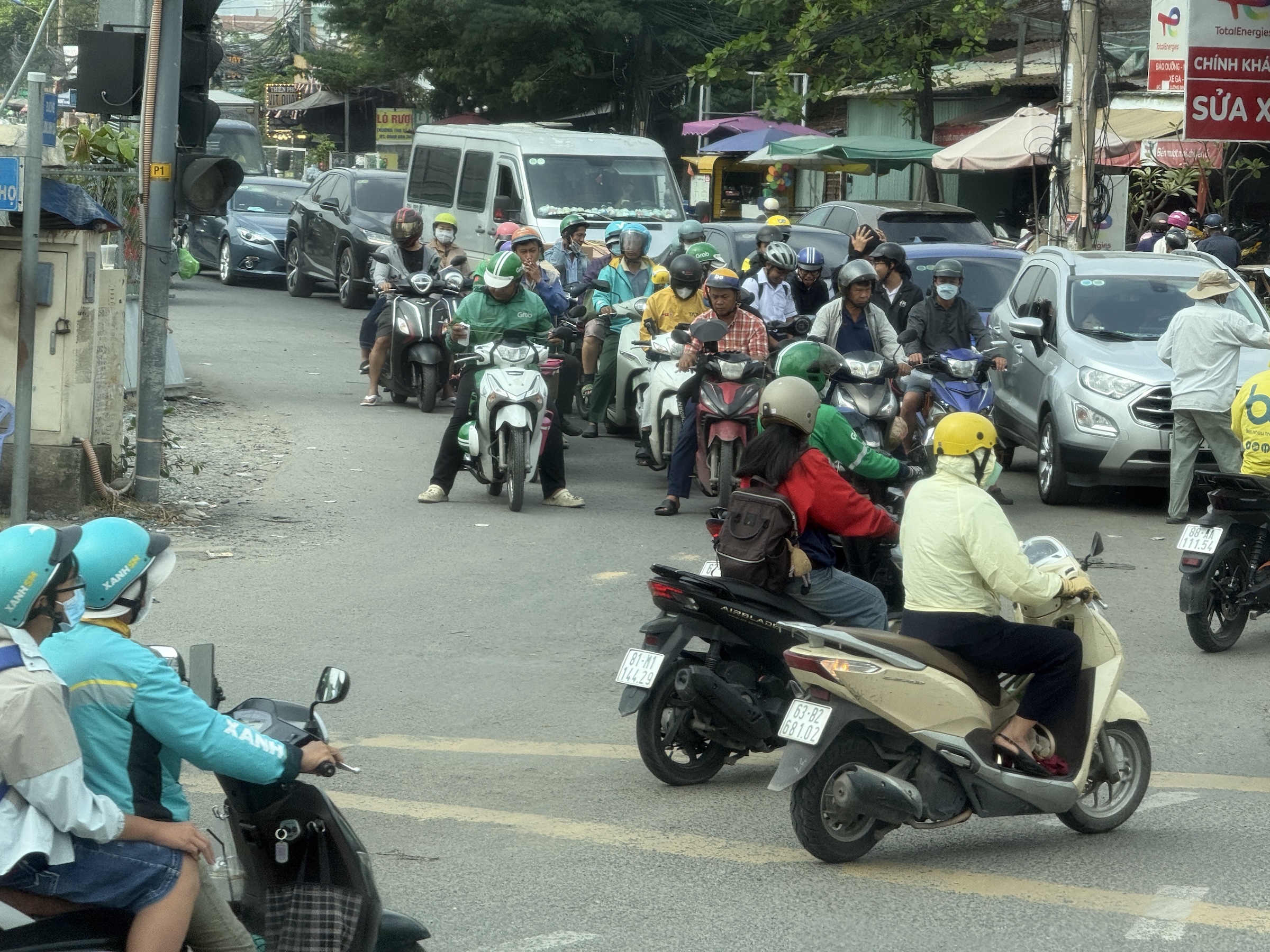
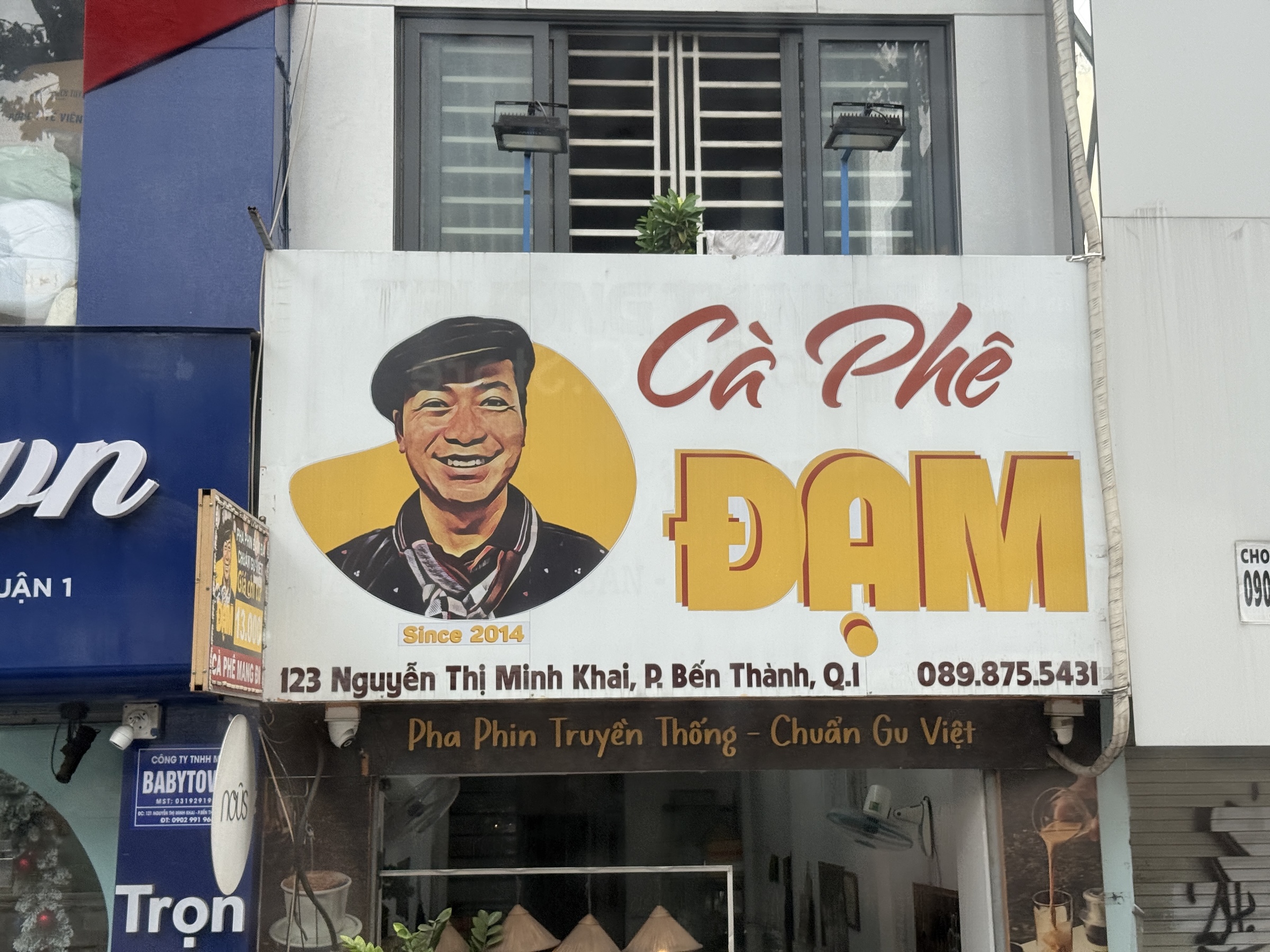
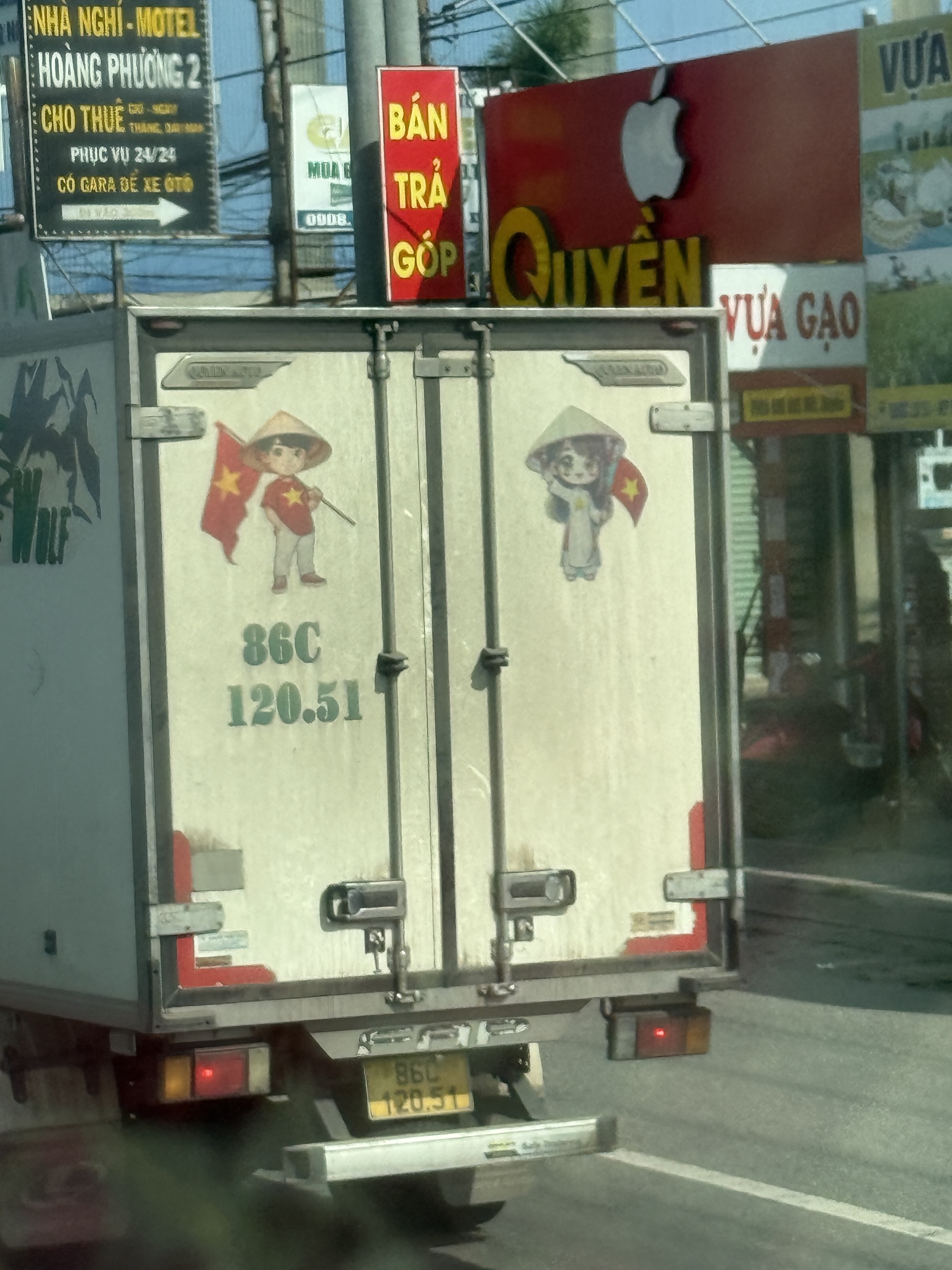
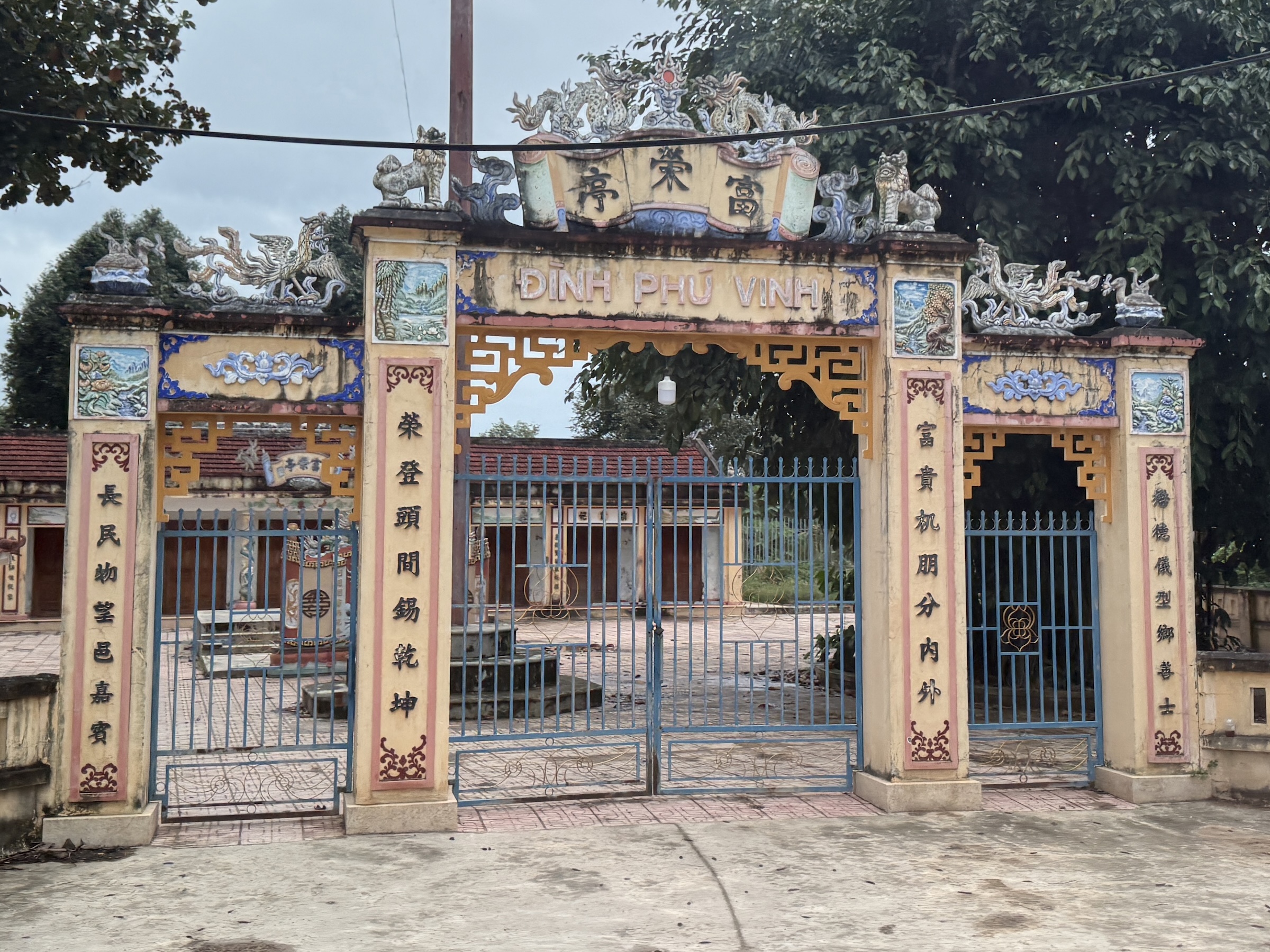
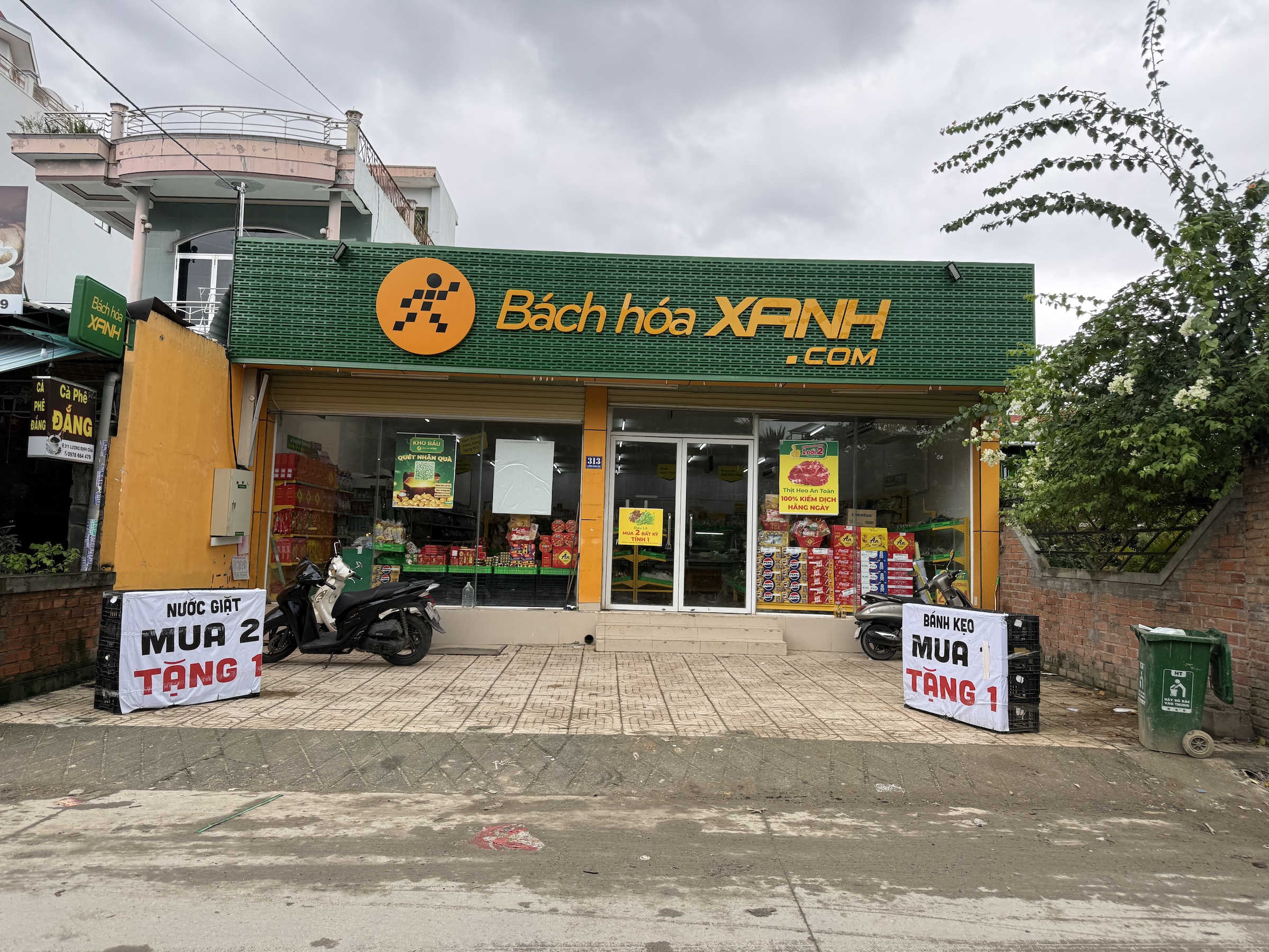
It’s almost a 2-hour drive from Phú Mỹ to the sprawling city of Ho Chi Minh. Our tour bus ran alongside and across the rivers of the Mekong Delta*, and the route included a segment of National Route 1 with toll plazas. It is the beginning of the rice planting season. Rice is a staple food in Viet Nam.
*Home to the endangered Mekong giant catfish (Pangasianodon gigas), known for reaching nearly 10 feet and over 600 pounds.
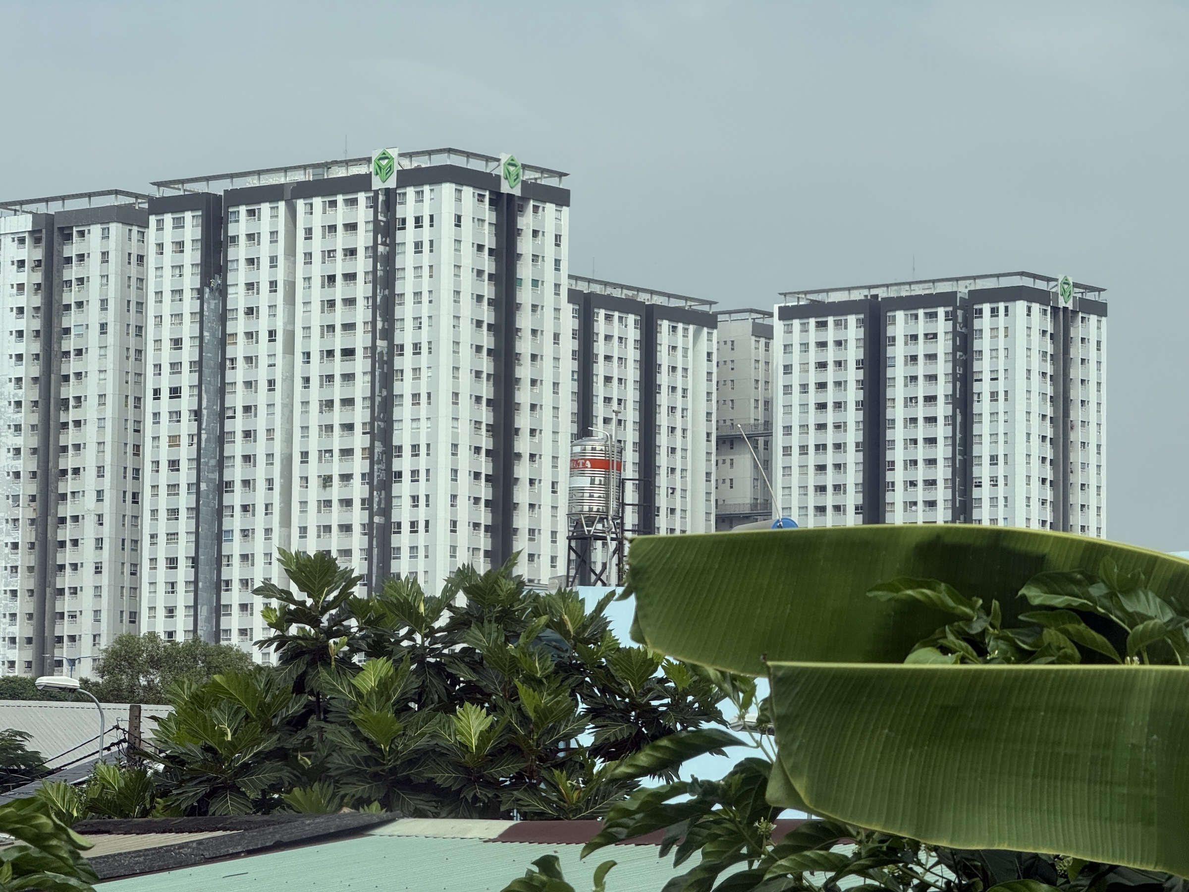
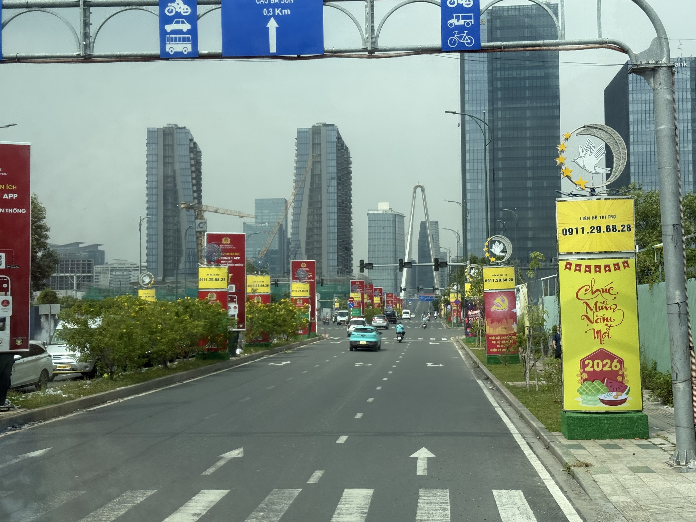
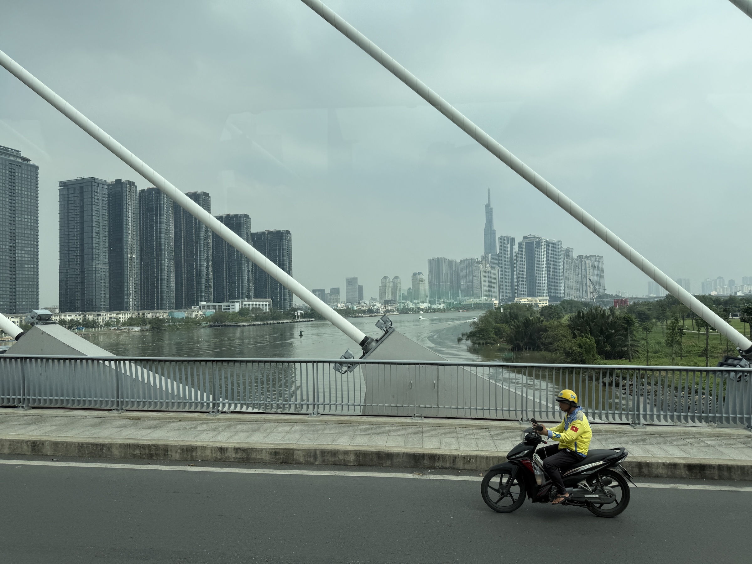
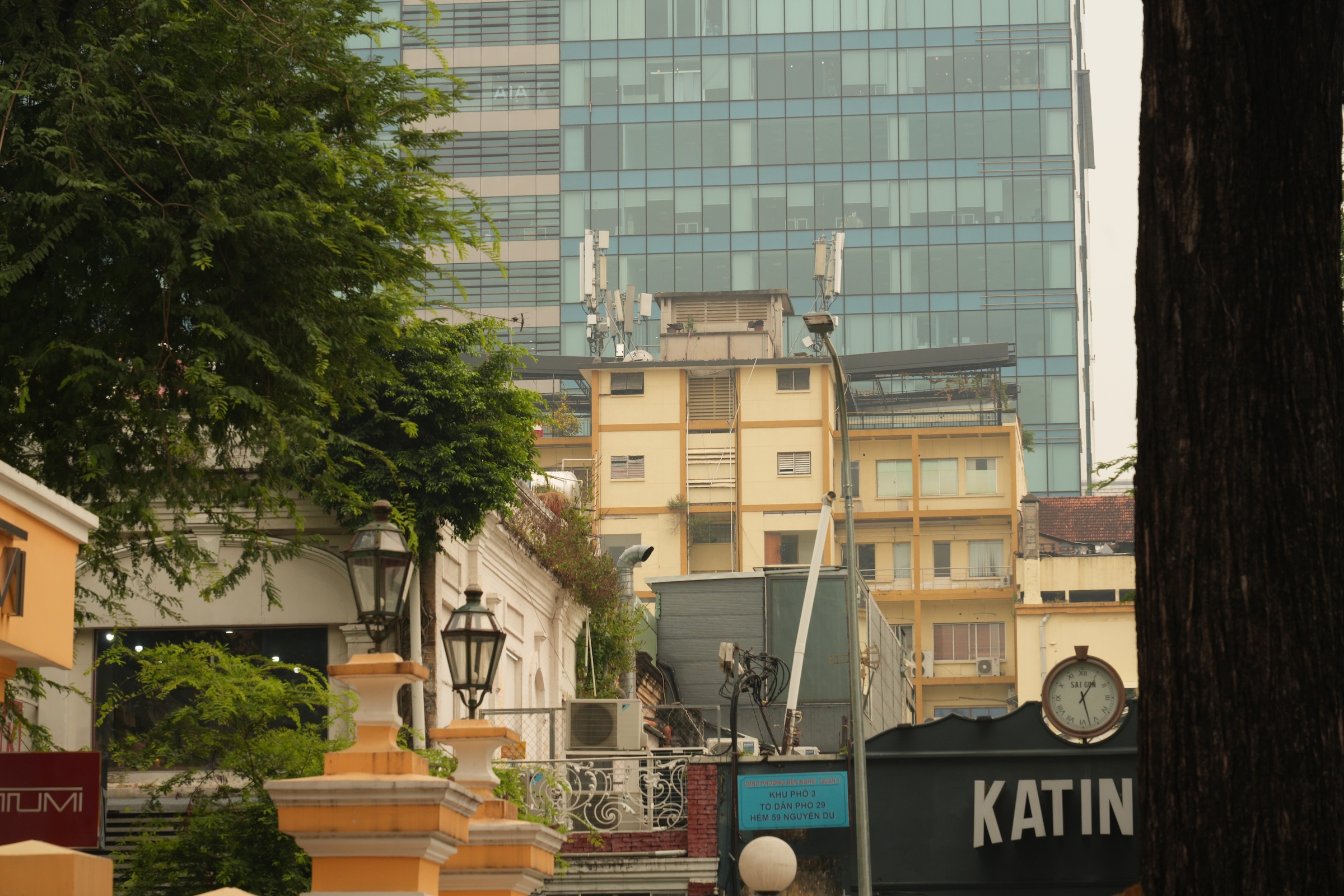
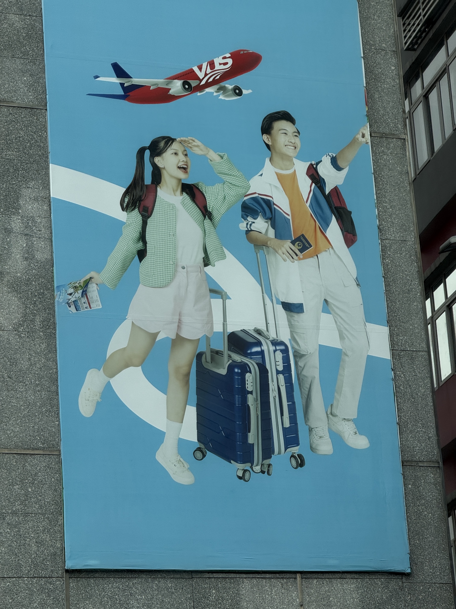
As we approached the city, we saw tall apartment buildings (what we would call condominiums in the States). These go for a fortune in Vietnamese Dong— 5 billion, about US$200,000— and are strictly for rich people. The supertall skyscraper in the pictures is that of the 81-story Landmark 81 tower (completed 2018).
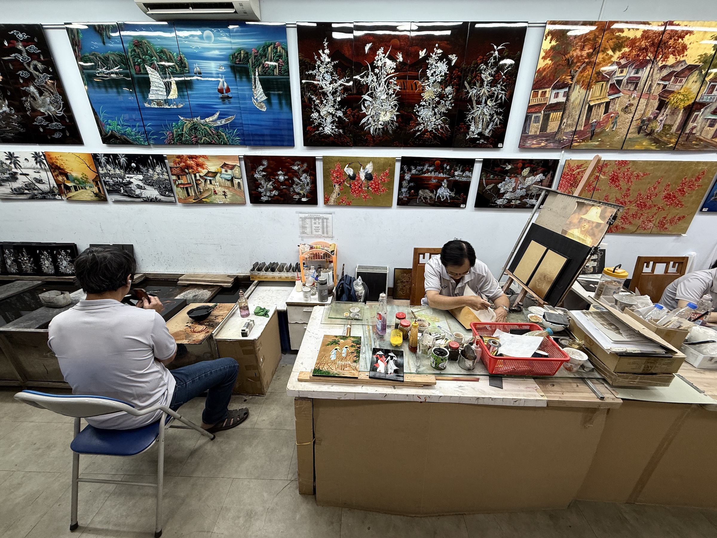
Our first stop in Saigon* was at an art studio and gallery with Vietnamese lacquer art, or Sơn Mài. *The central part of Ho Chi Minh City still goes by the name of Saigon.
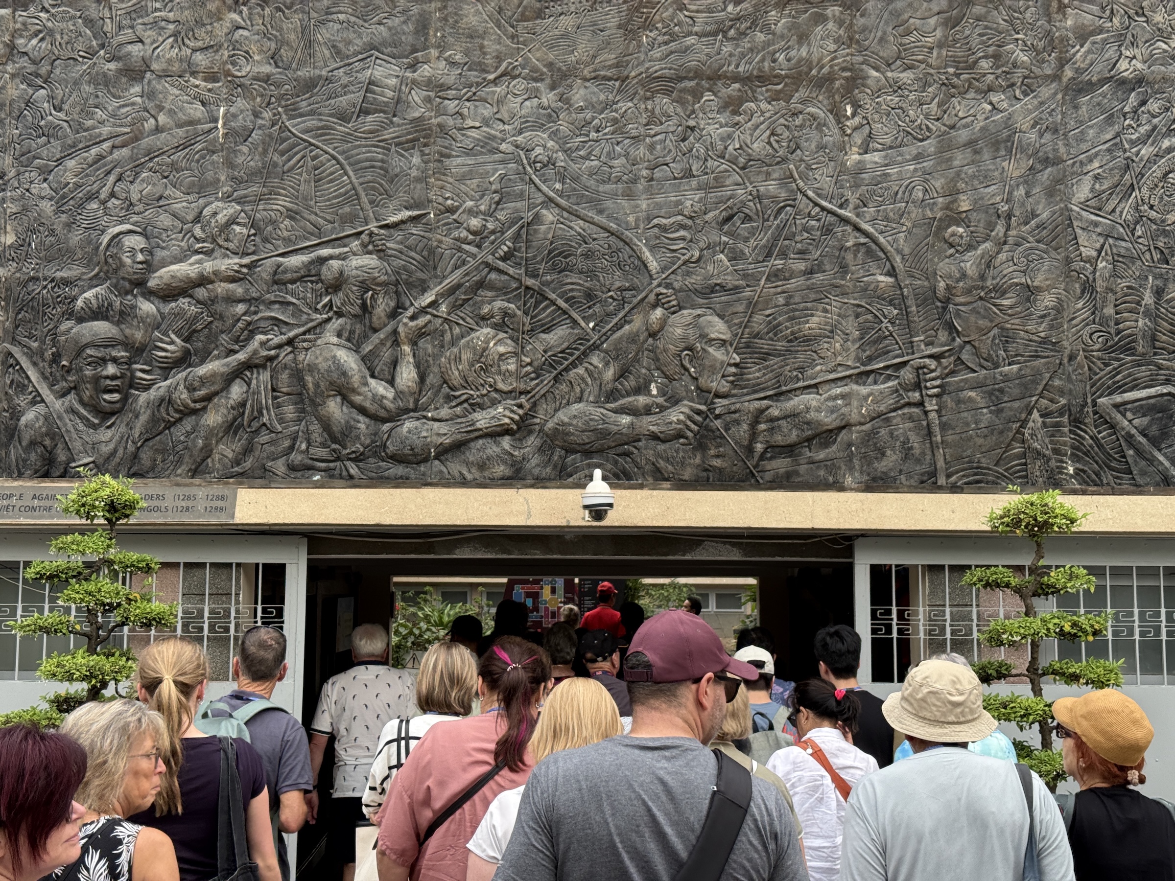
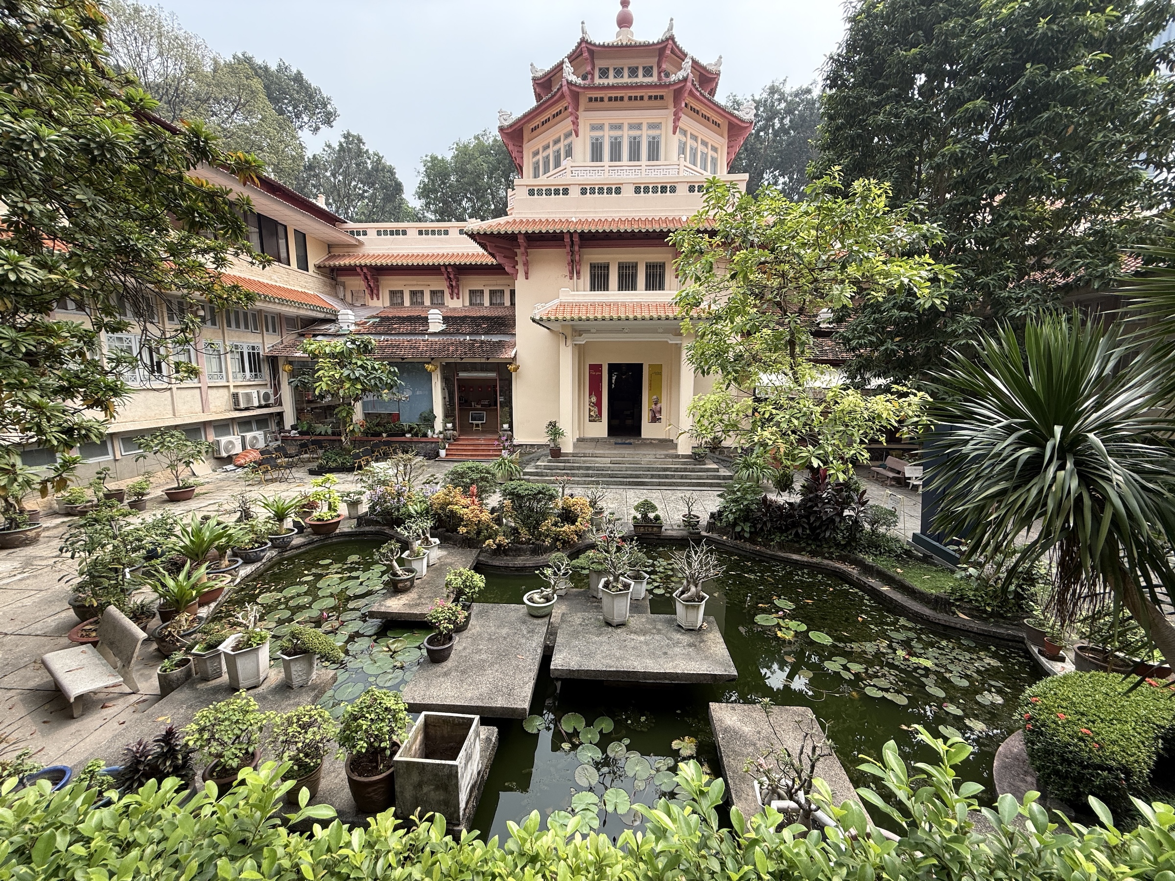
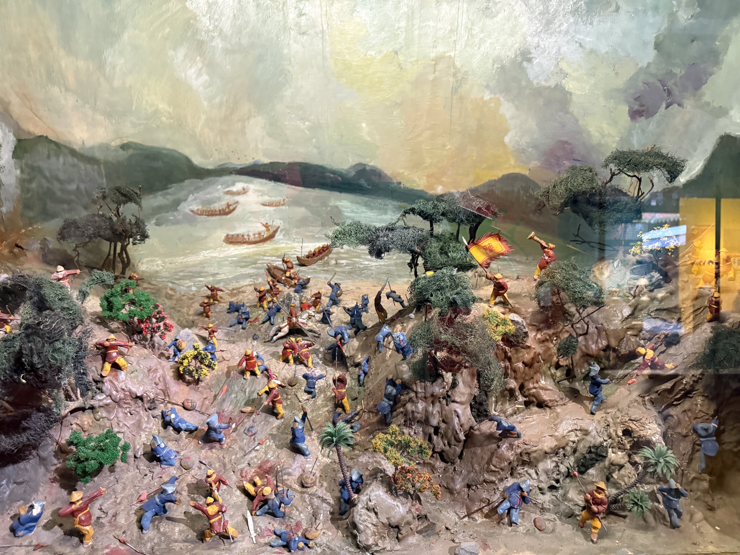
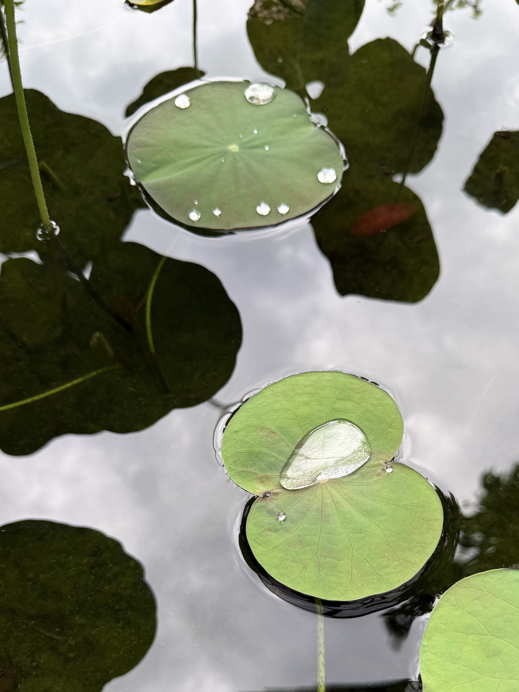
The next stop was at Ho Chi Minh City History Museum with its lovely water lily pond and displays of the forces that occupied the territory of what is known as Viet Nam today.
I asked Google AI Overview for a summary:
Vietnam’s history is marked by occupation and resistance, starting with over a millennium of Chinese rule (c. 111 BCE–938 CE), followed by internal dynasties and expansion south. French colonization from the 1880s led to French Indochina, briefly interrupted by Japanese occupation during WWII, sparking the Viet Minh independence movement. After WWII, France tried to reclaim control, leading to the First Indochina War (1946-1954), ending with French defeat and Vietnam’s division, ultimately leading to the Vietnam War (US involvement) and communist unification in 1975.
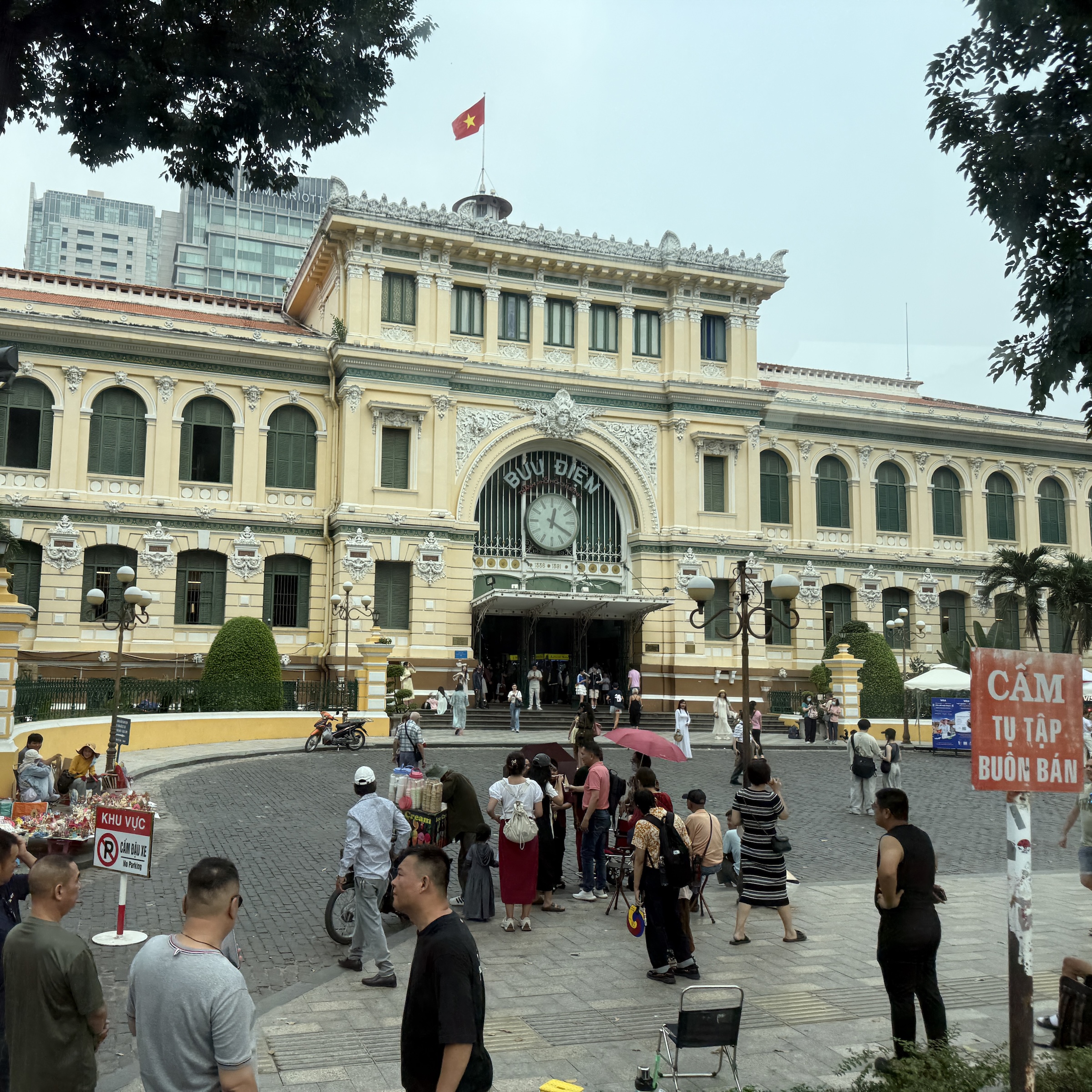
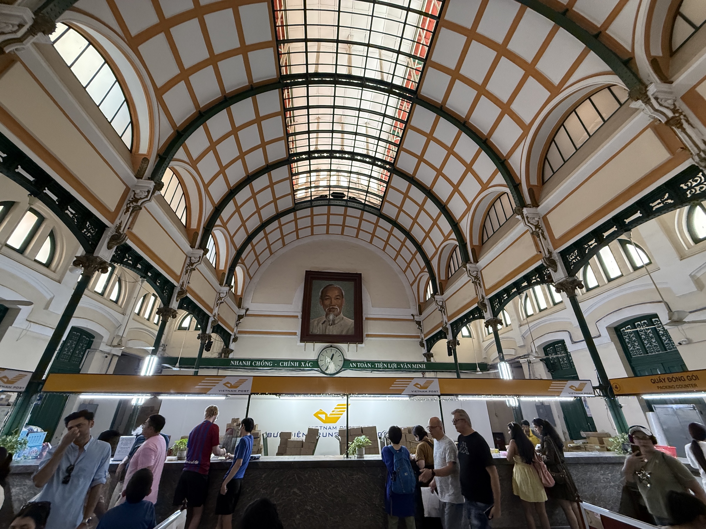
Next was the Saigon Central Post Office with a portrait of Ho Chi Minh inside. (Ho Chi Minh was the man that led a long and ultimately successful campaign to make Vietnam independent. He was president of North Vietnam from 1945 to 1969.)
Look for my picture of the Pittman Apartments building from which people were airlifted from during the Fall of Saigon in April 1975 (famously captured in Hubert van Es’s iconic photo). It’s painted yellow and light brown and has several antennas attached to it.
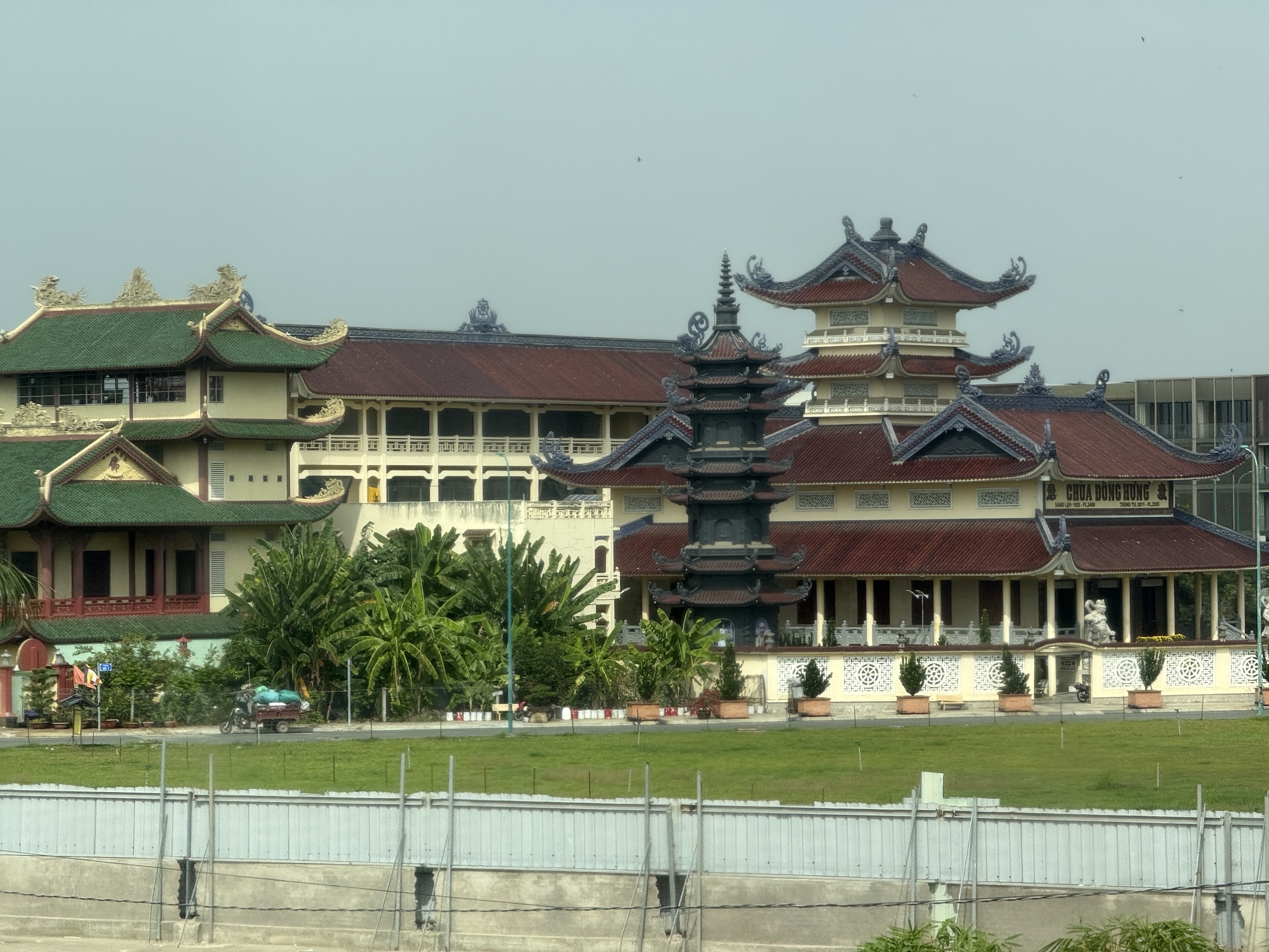
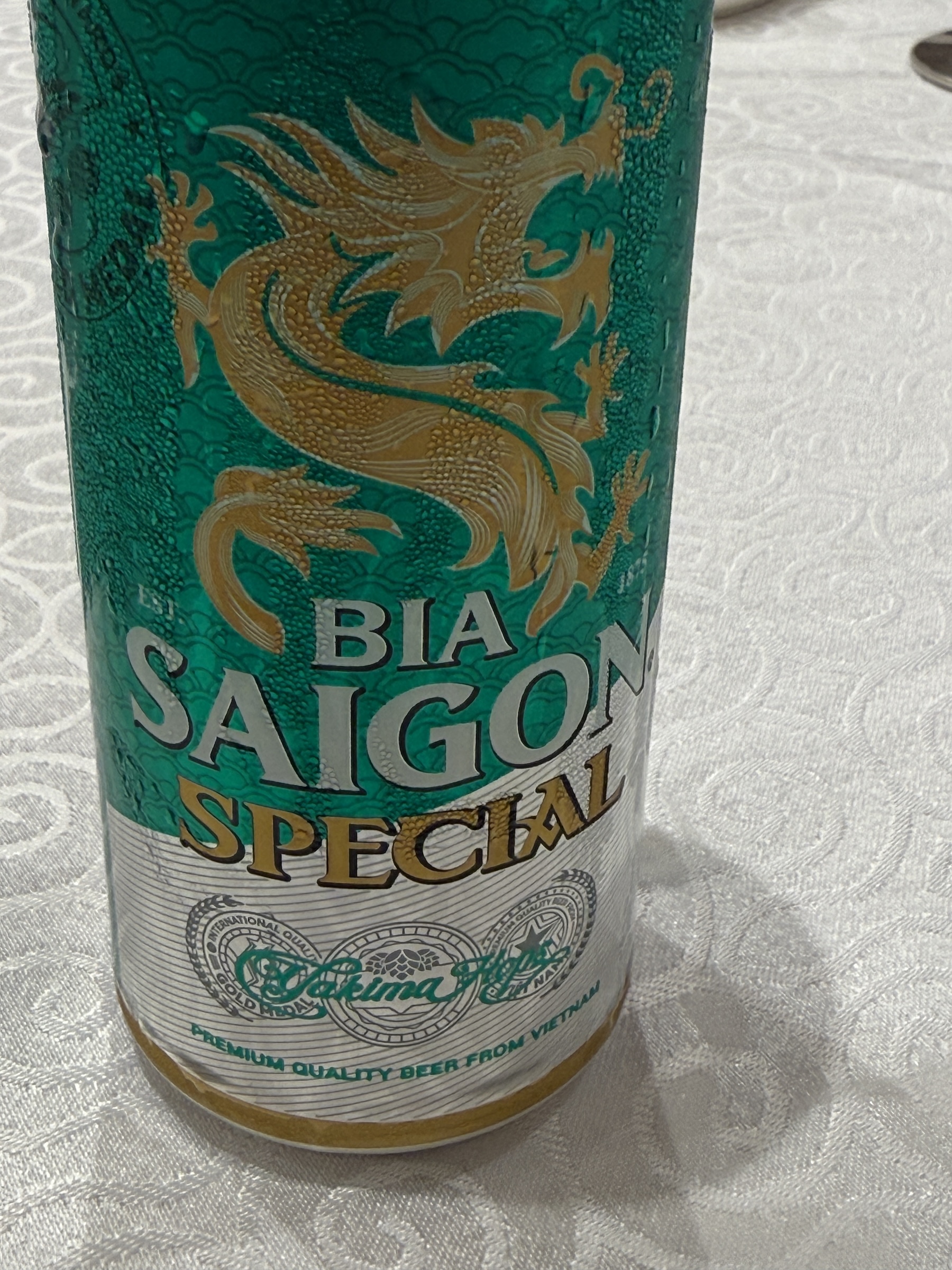
We made a quick stop at a Buddhist Temple, and then went to the swank Windsor Plaza Hotel for lunch. I loved the dragon on my little can of Bia Saigon Special beer.
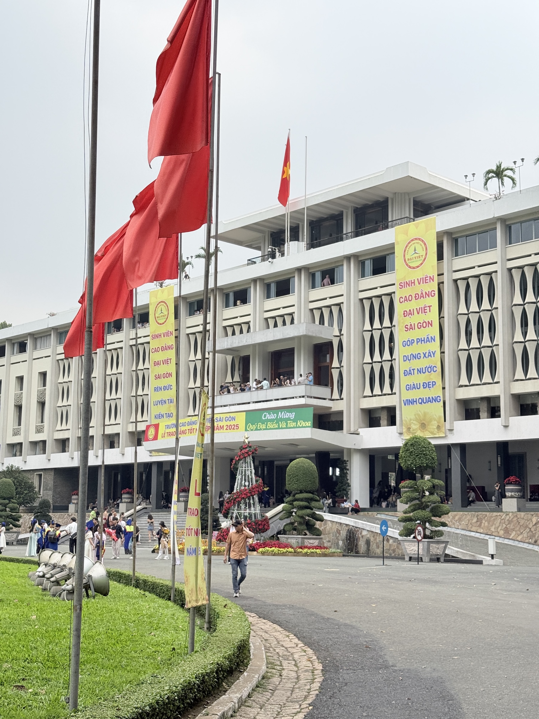
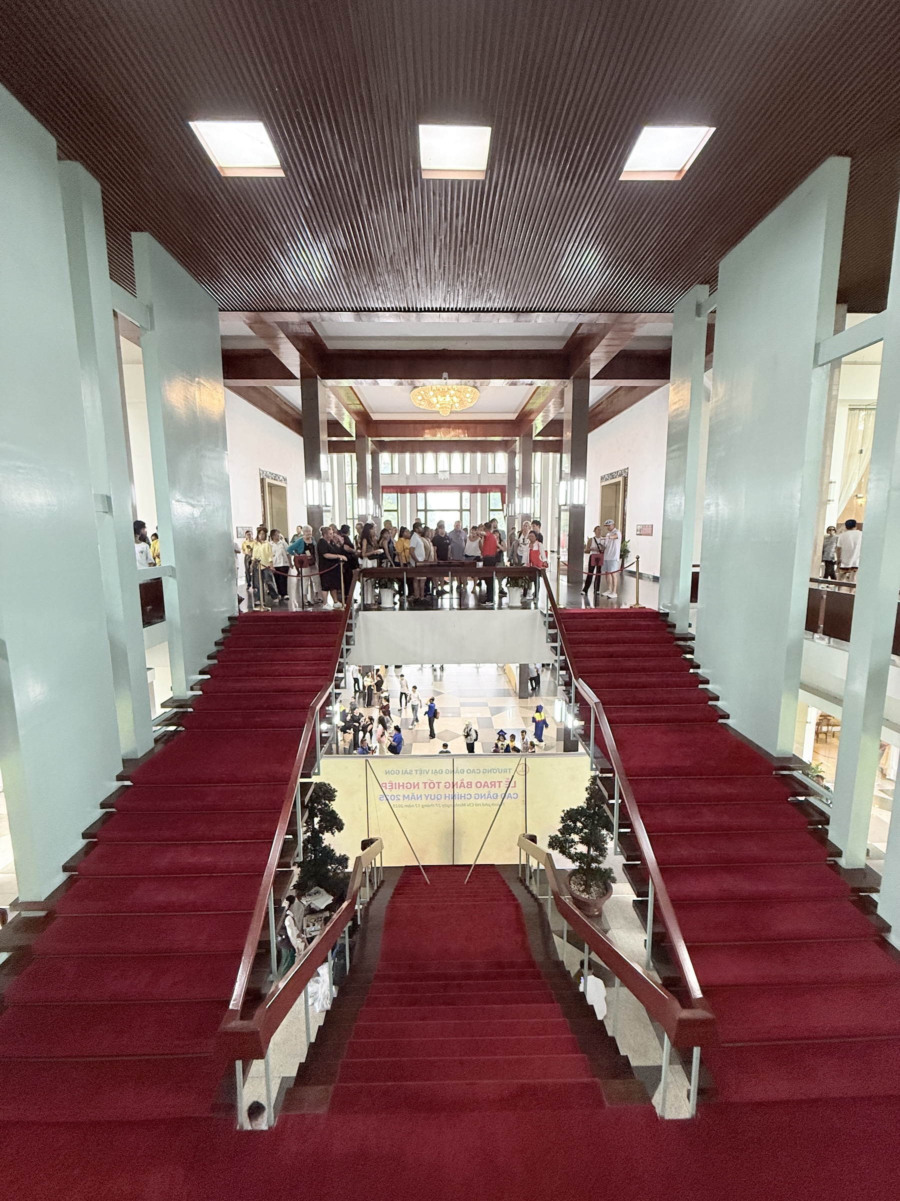
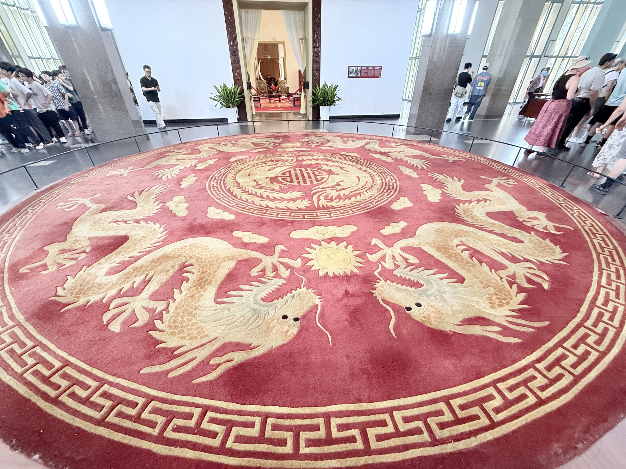
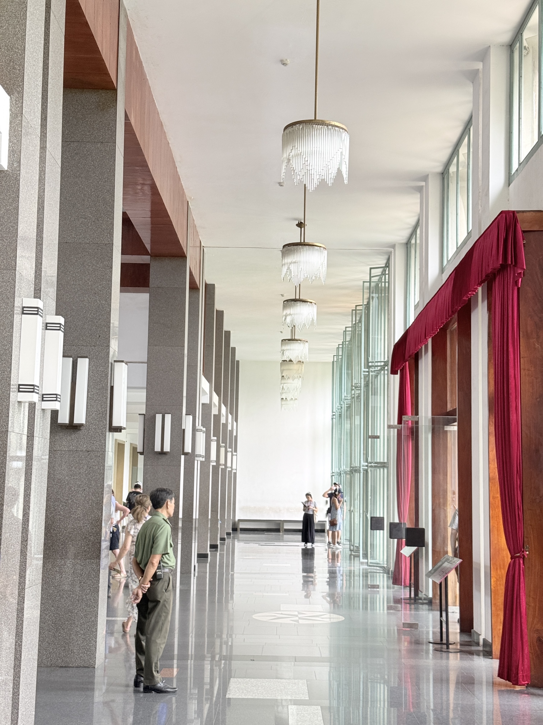
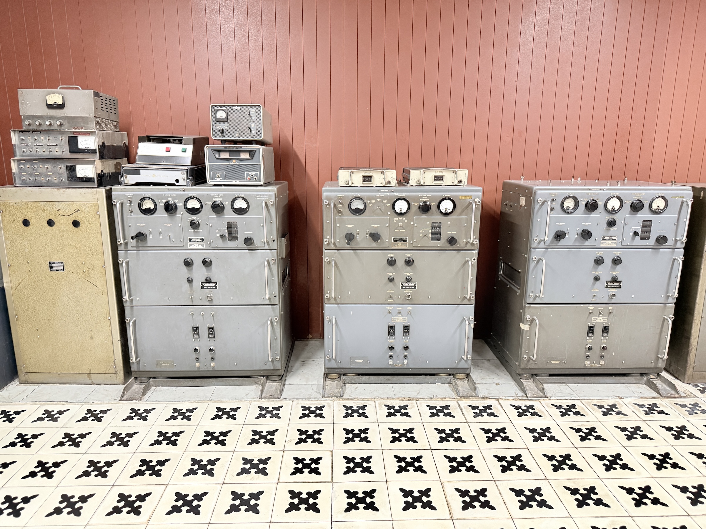
The next stop was at the Independence Palace (also called Reunification Palace) , a building that played a central role in the Viet Nam war. It was designed by architect Ngô Viết Thụ. Construction started in 1962 and it was completed by 1966. It was the home and workplace of the president of the Republic of Vietnam (South Vietnam).
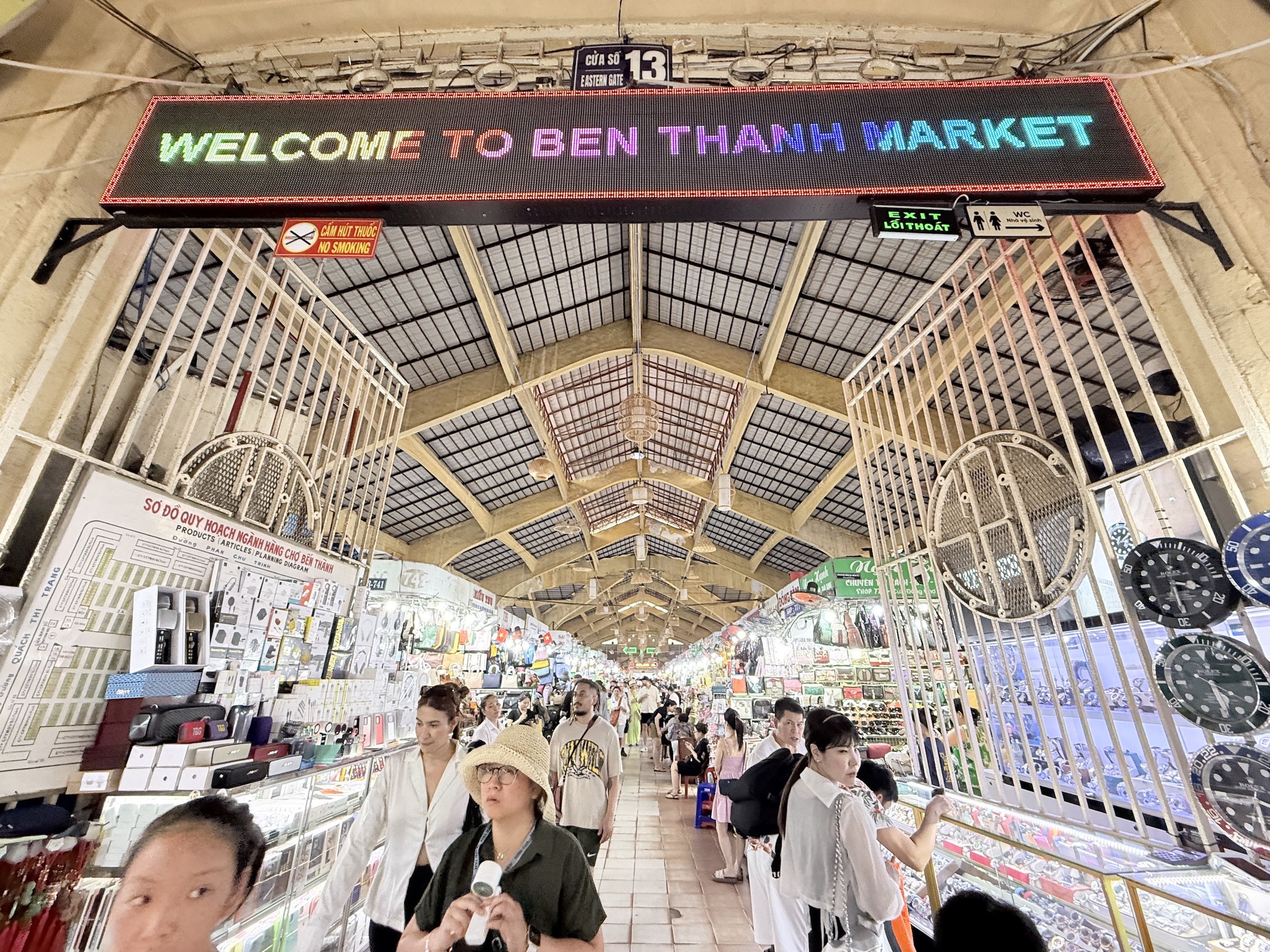
The final stop for the day was at Ben Thanh market.
It has some 1,500 booths inside and it was crowded, so I went outside and took a few pictures instead.
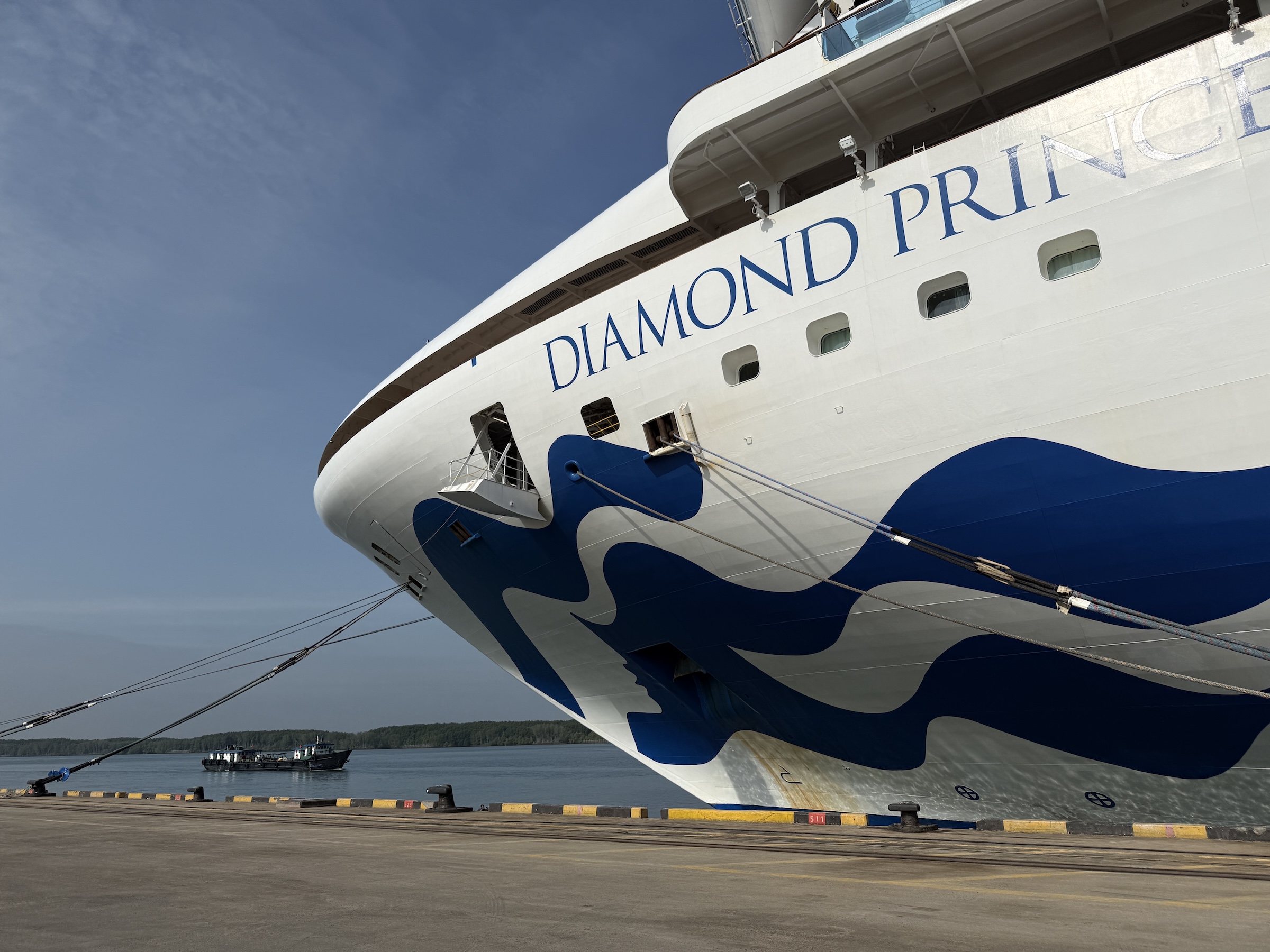


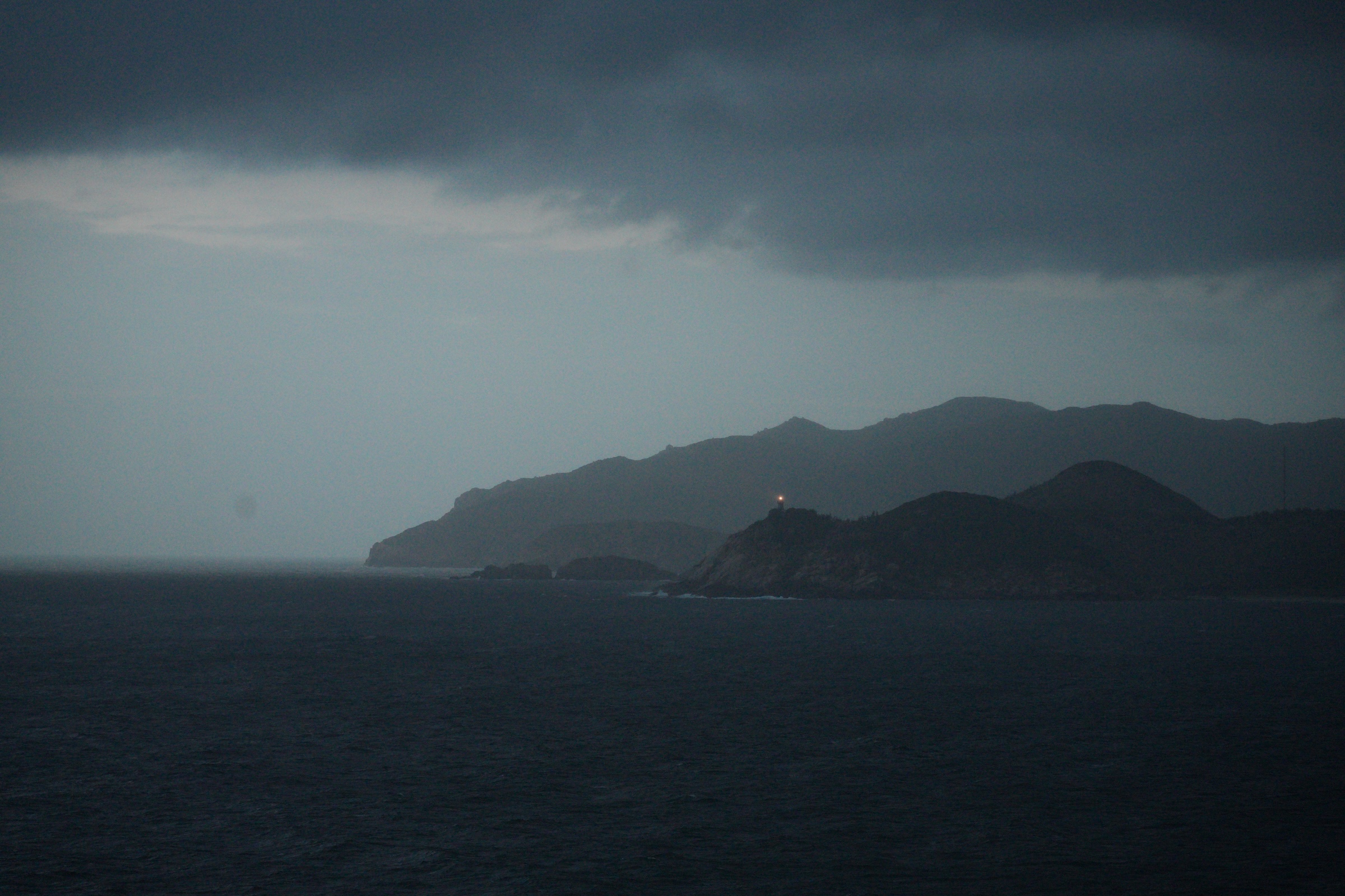
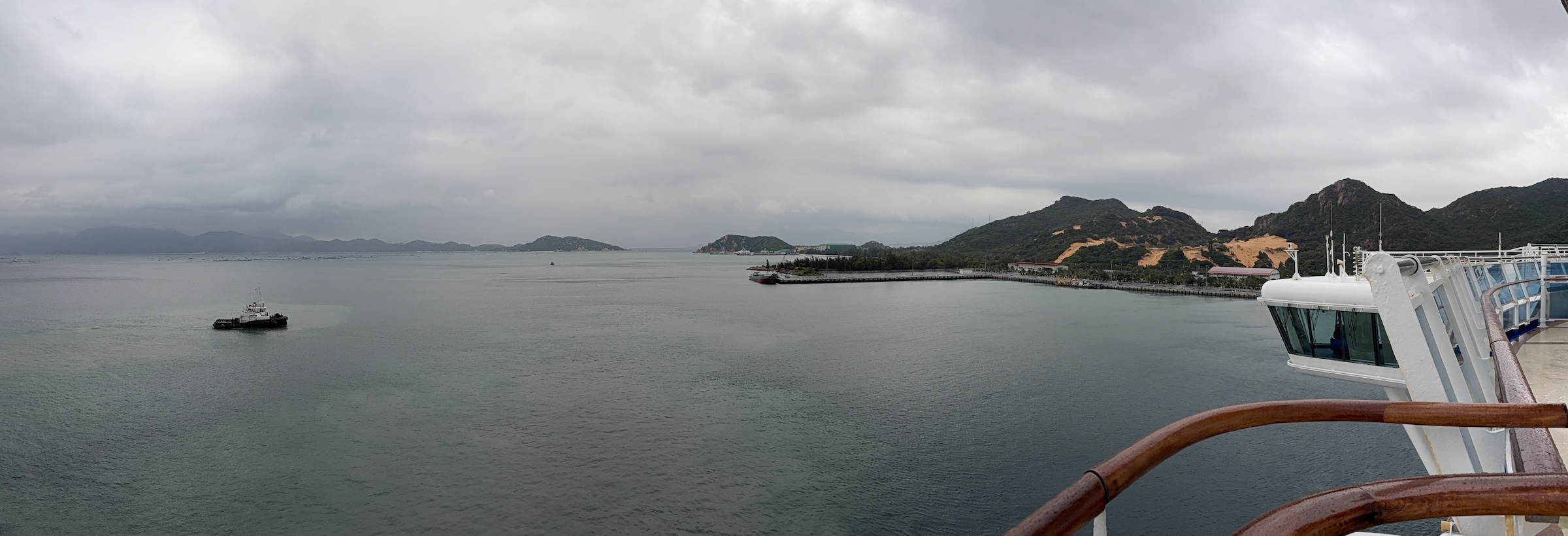
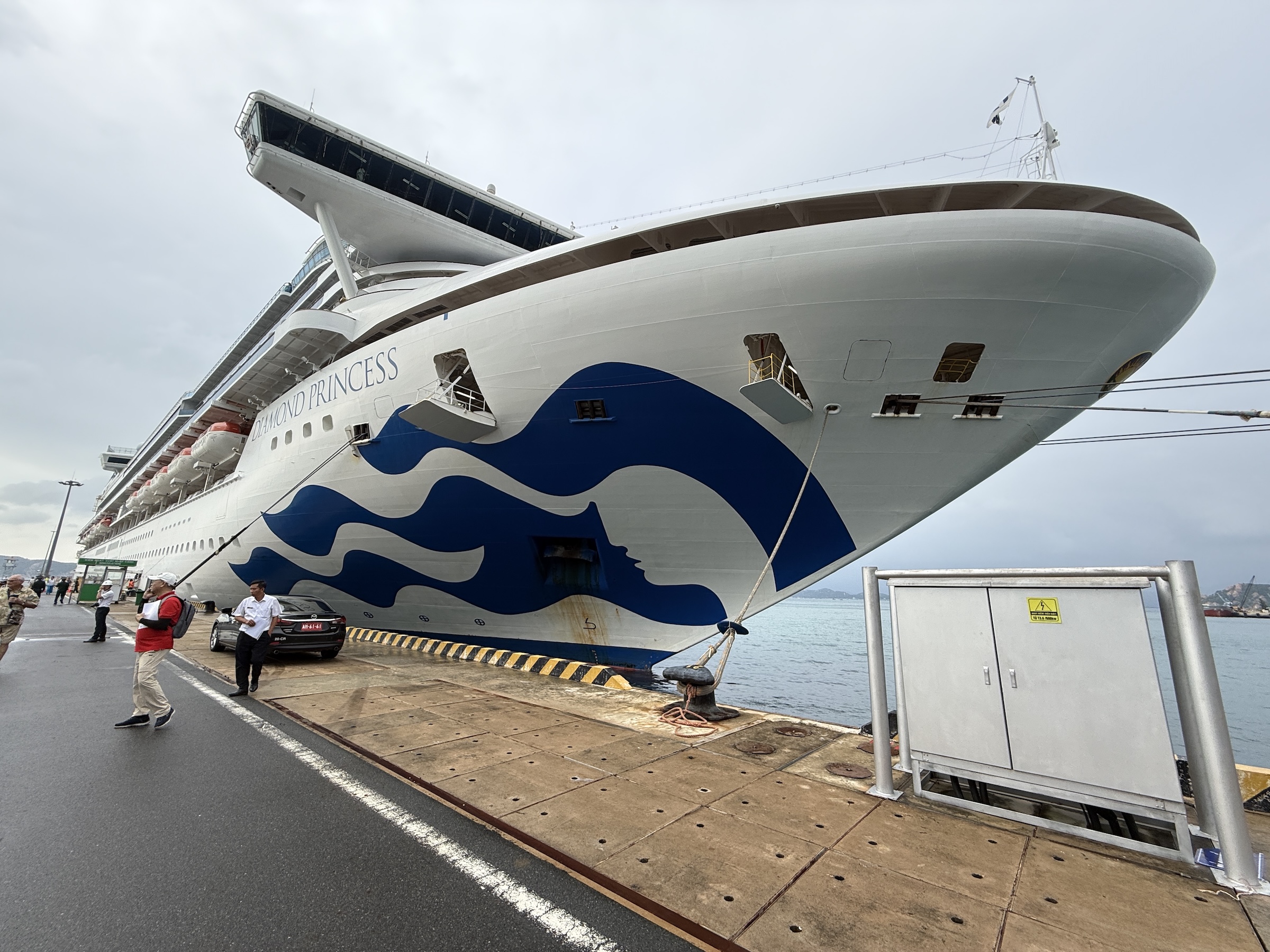
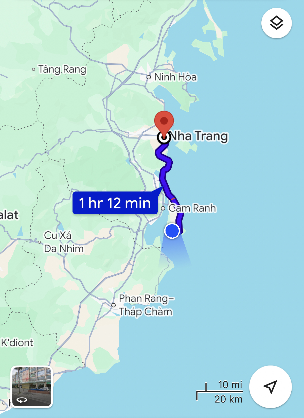
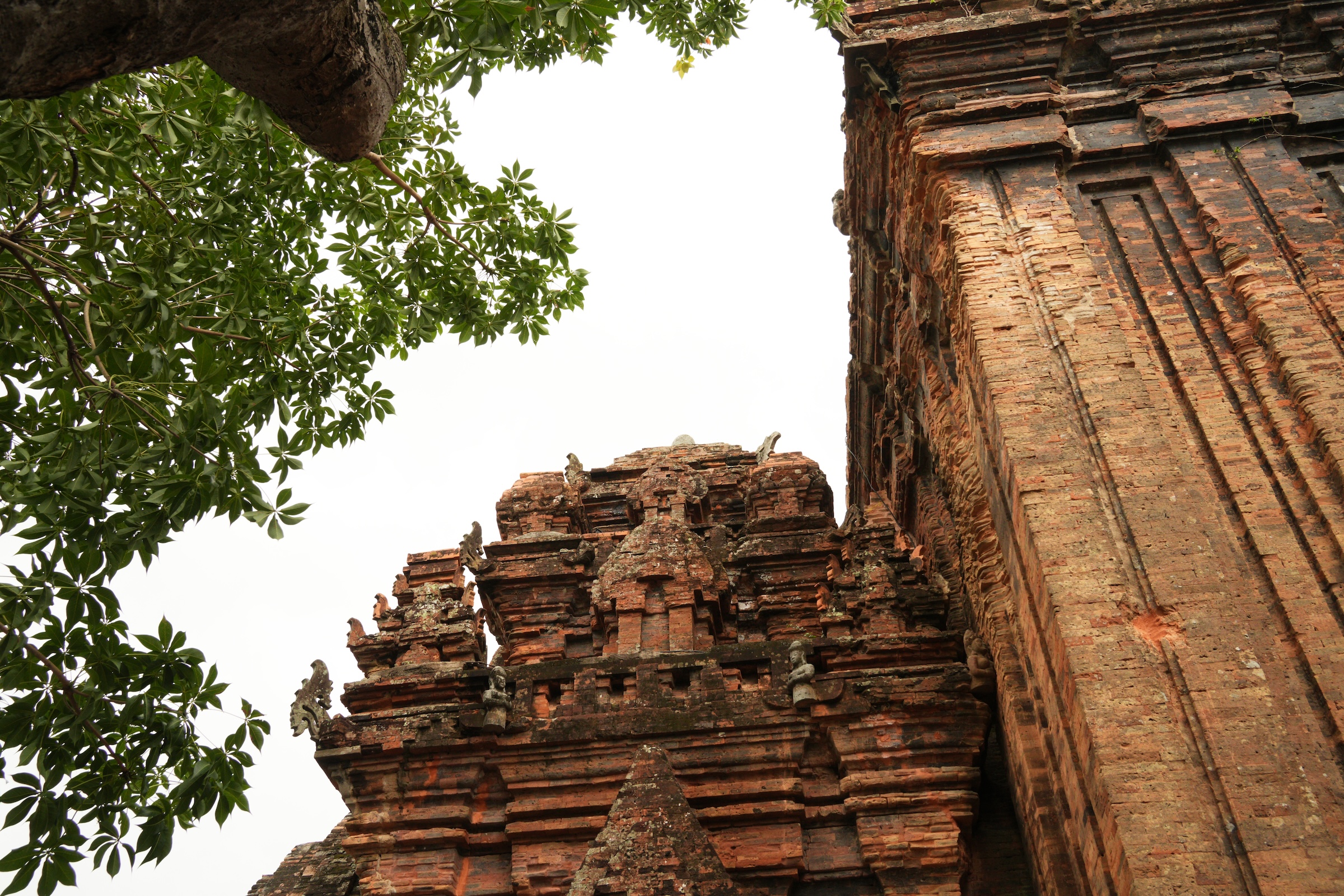
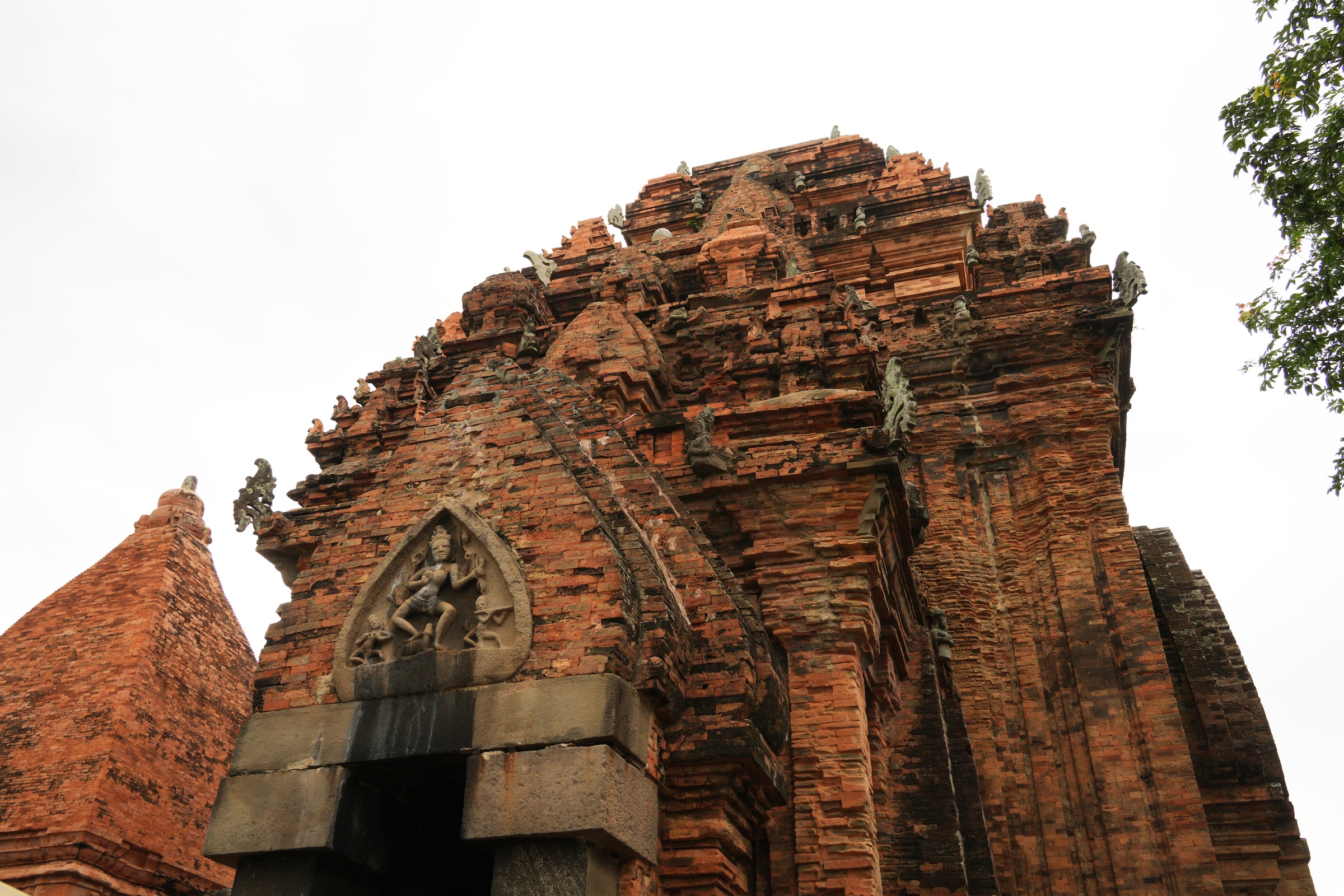
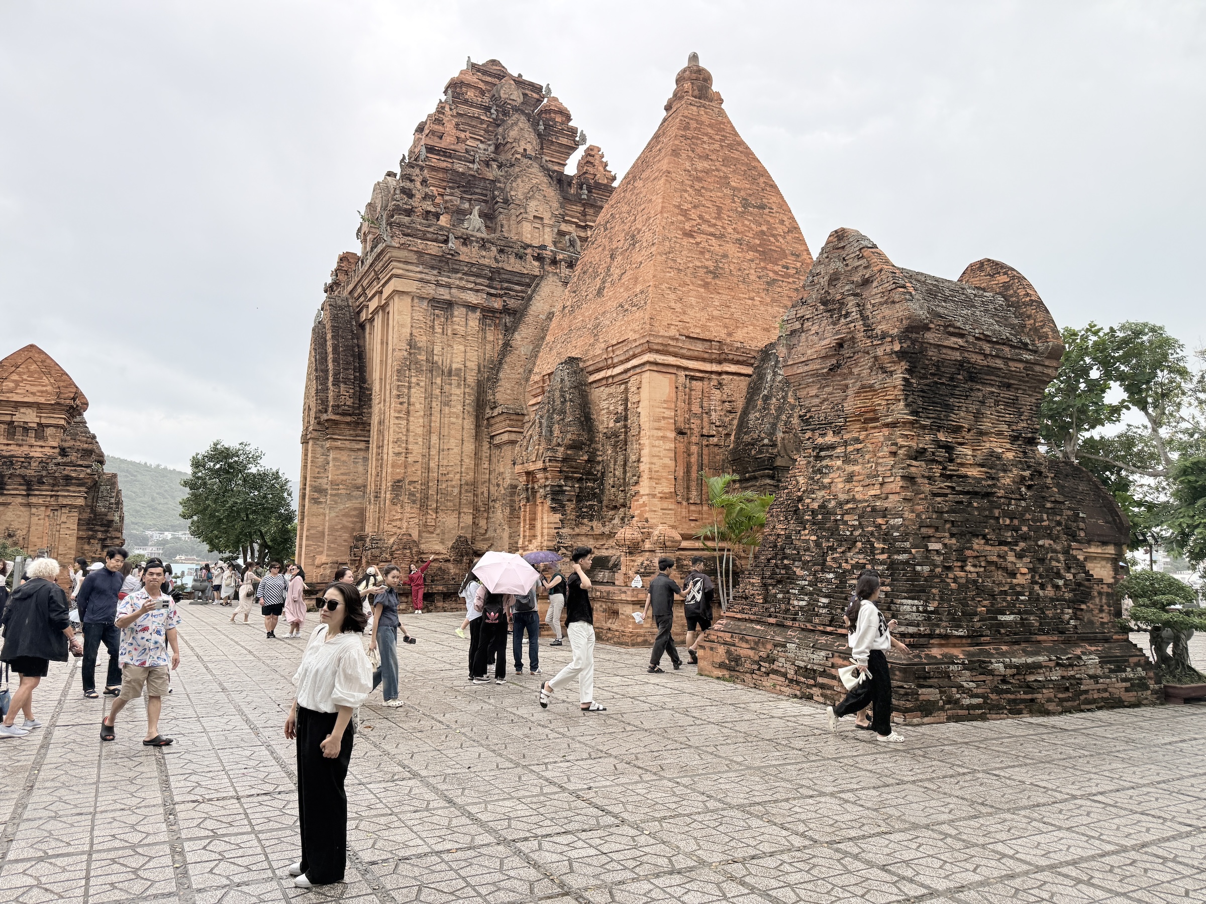
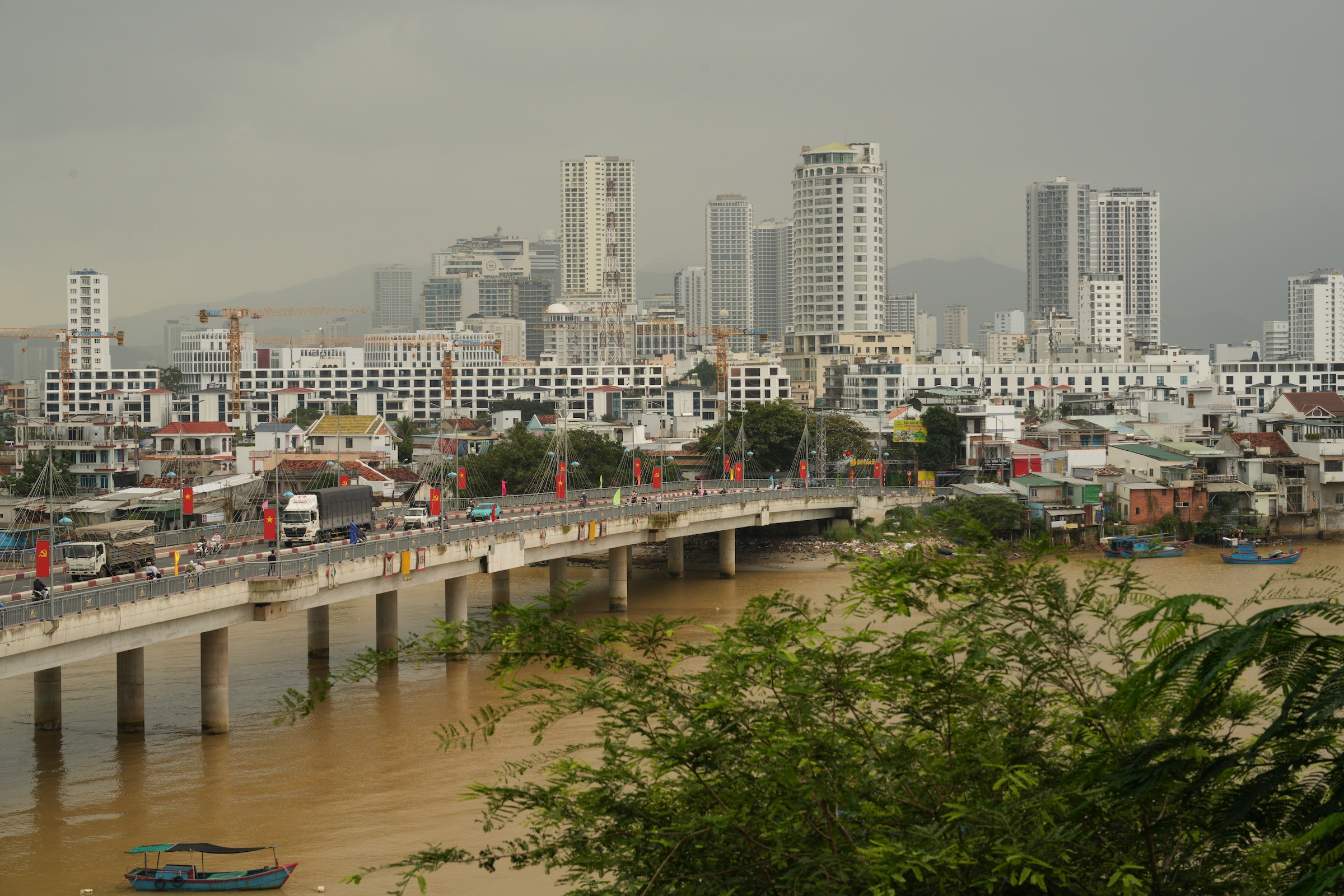
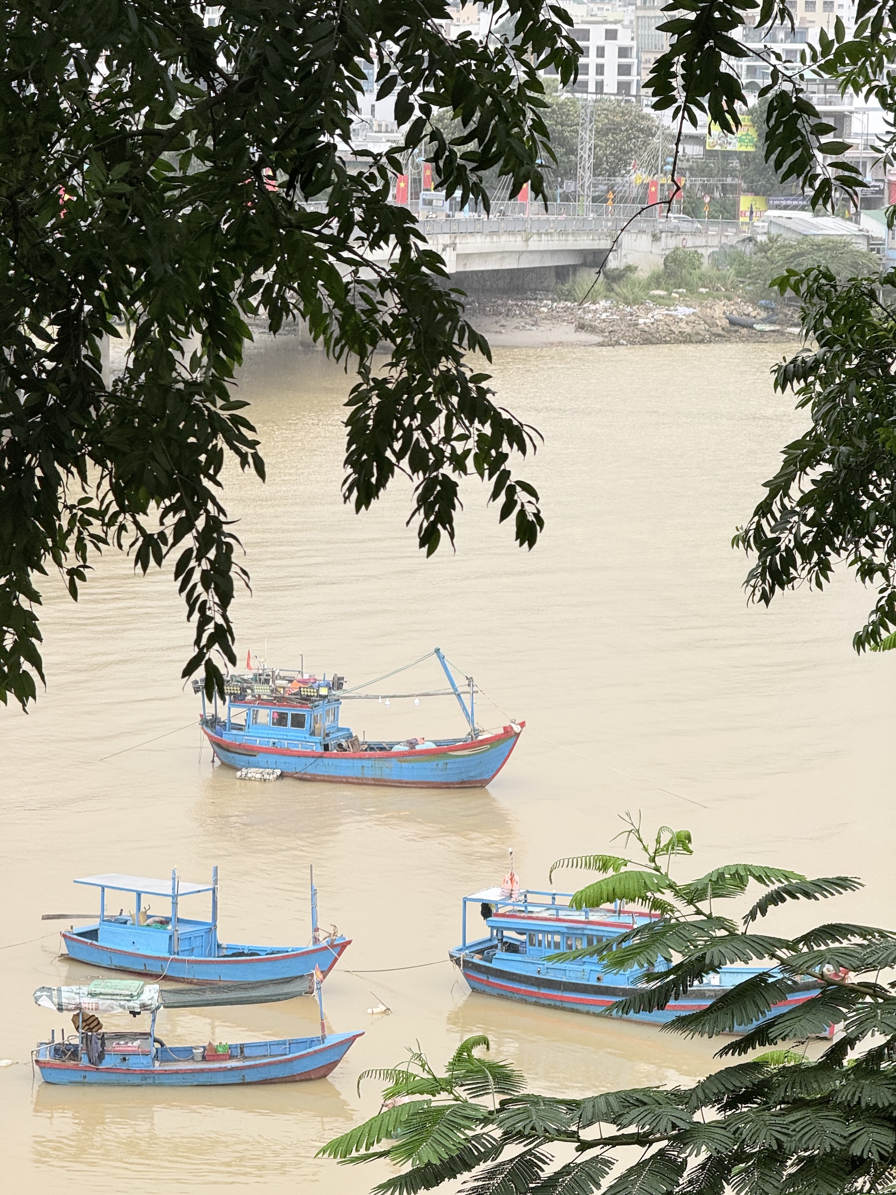
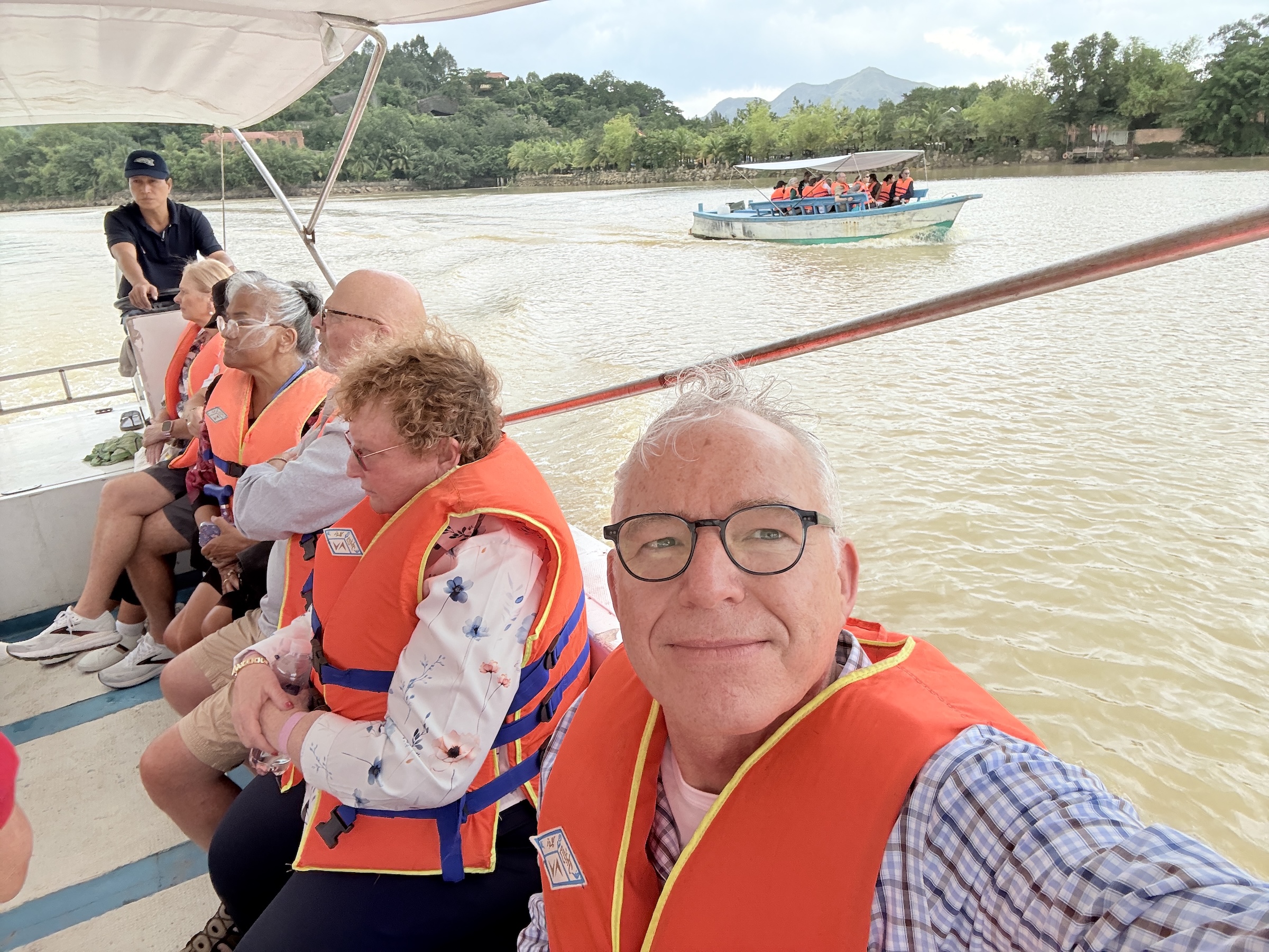
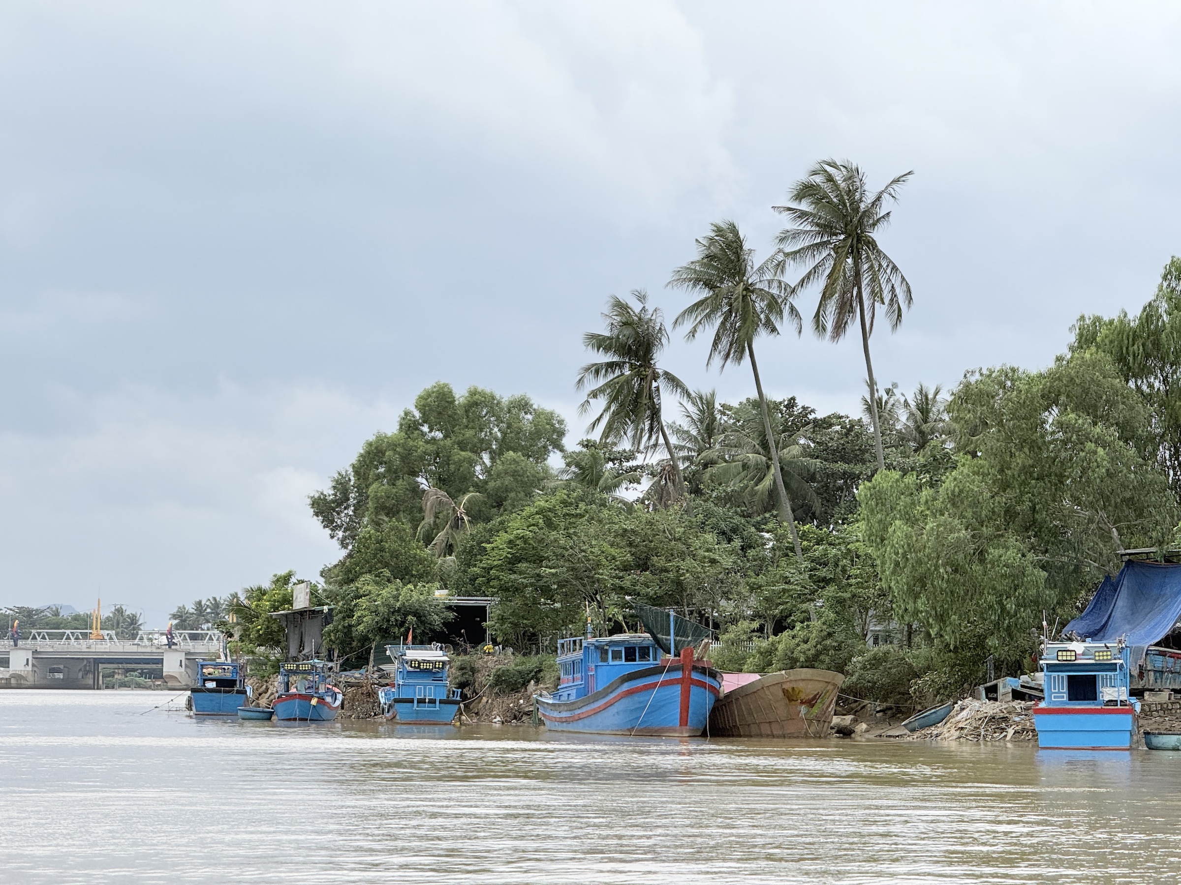
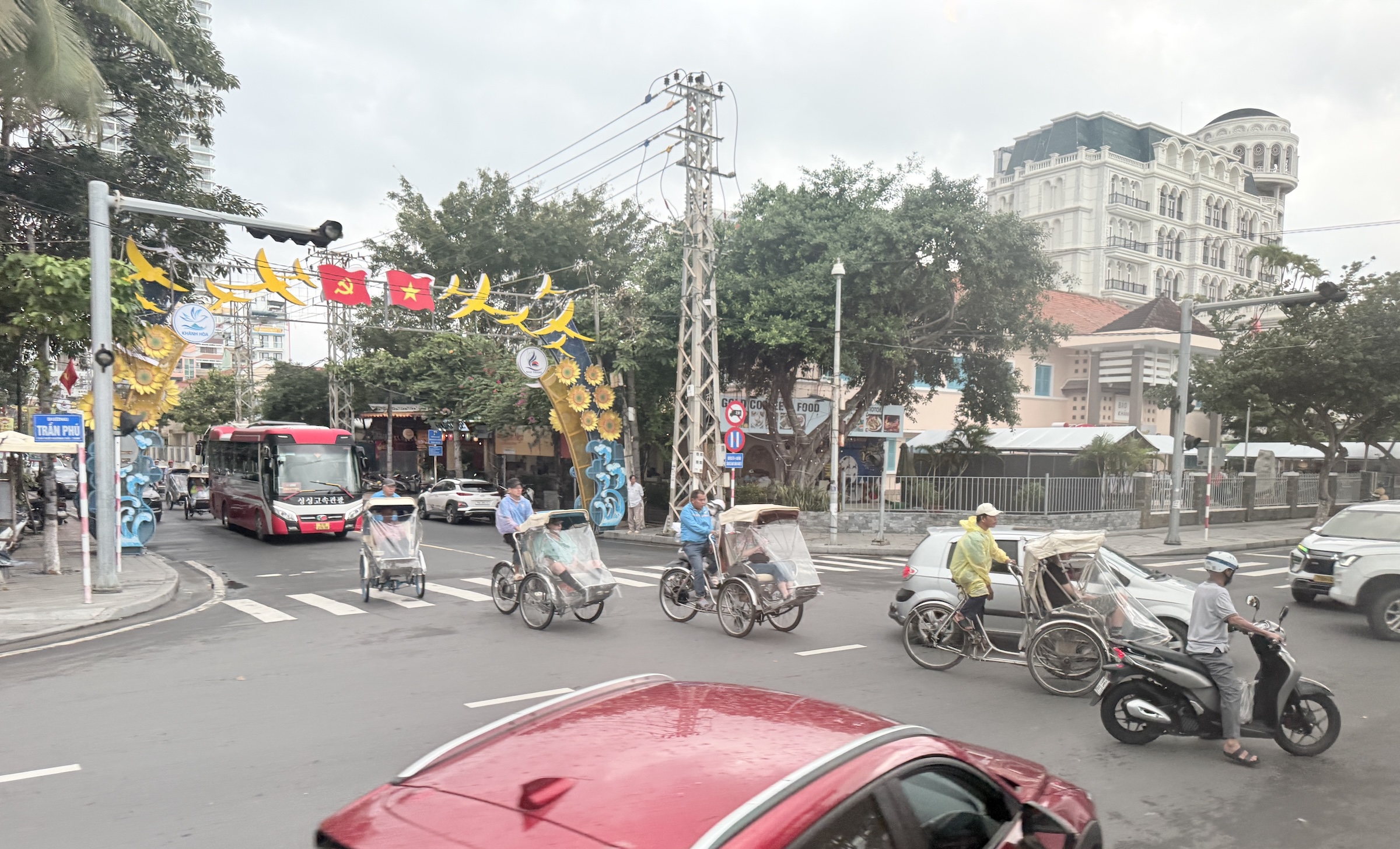
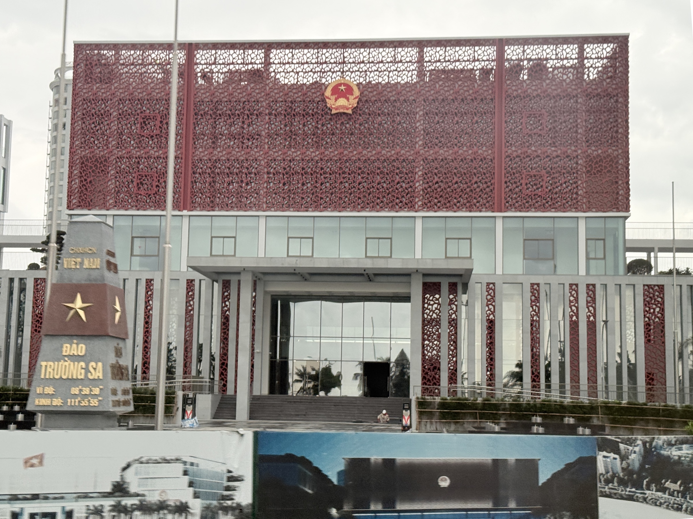
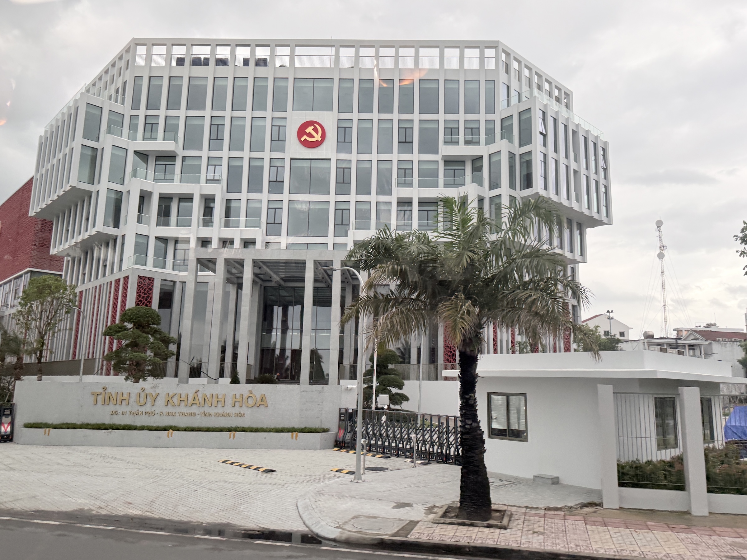
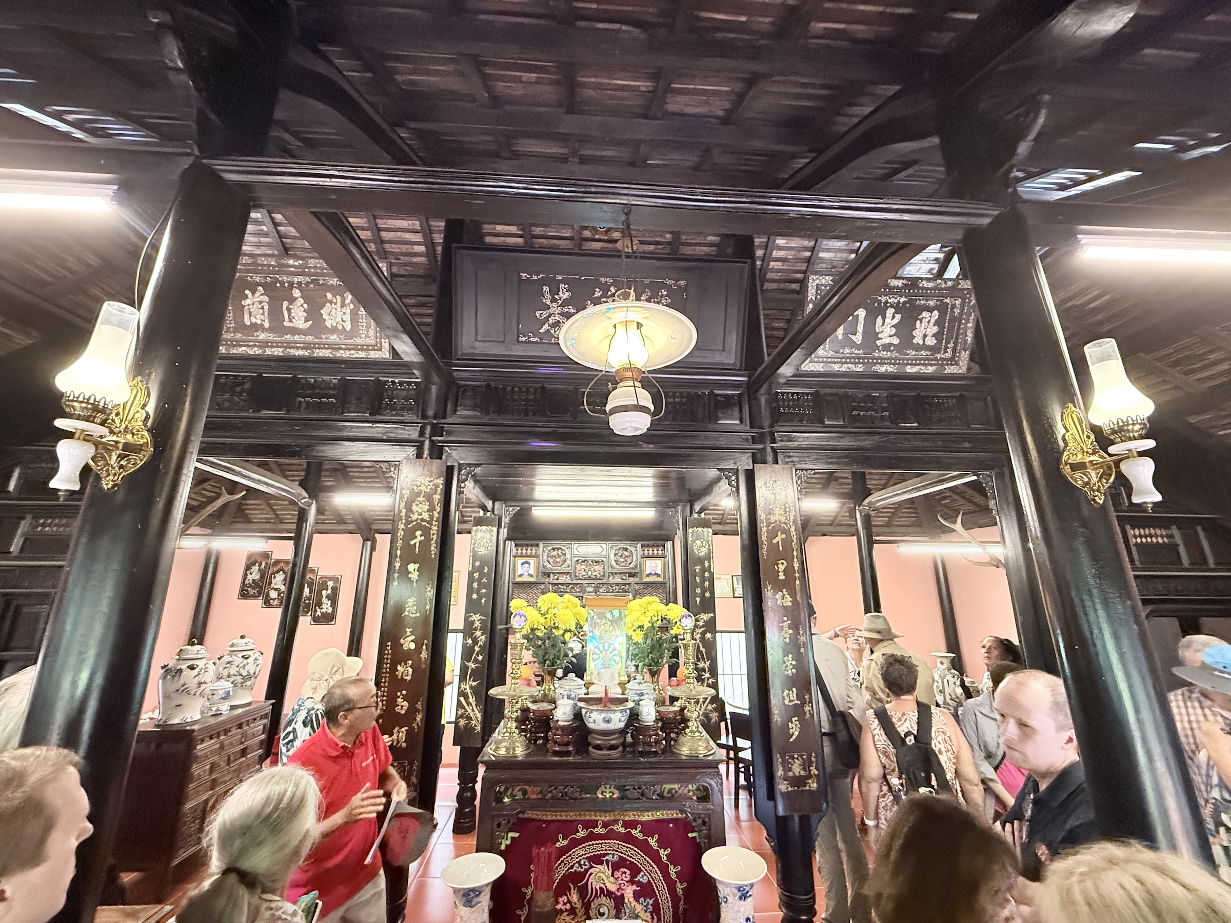
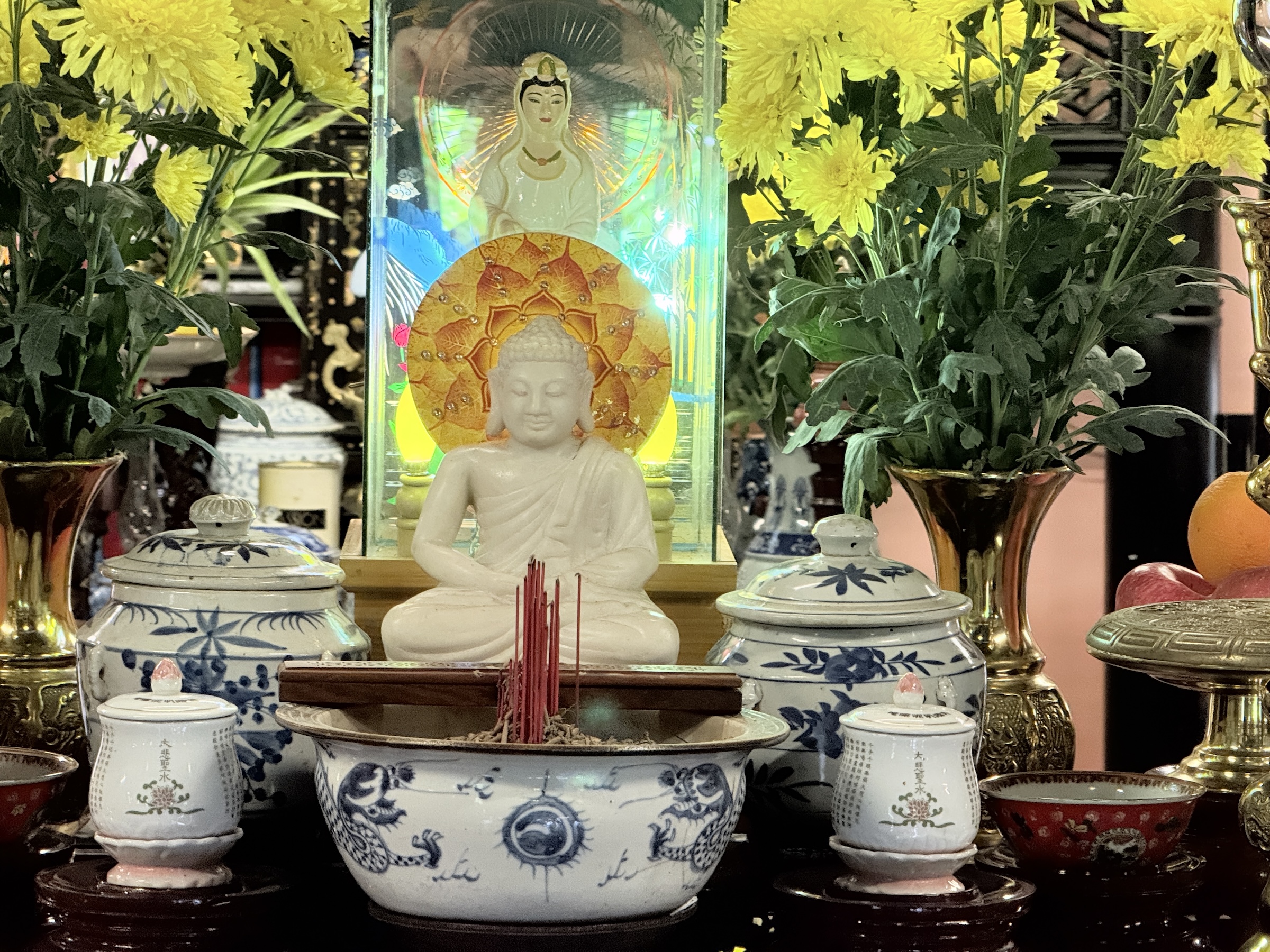
The Diamond Princess arrived at the pier in Cam Ranh at 7 am this morning.
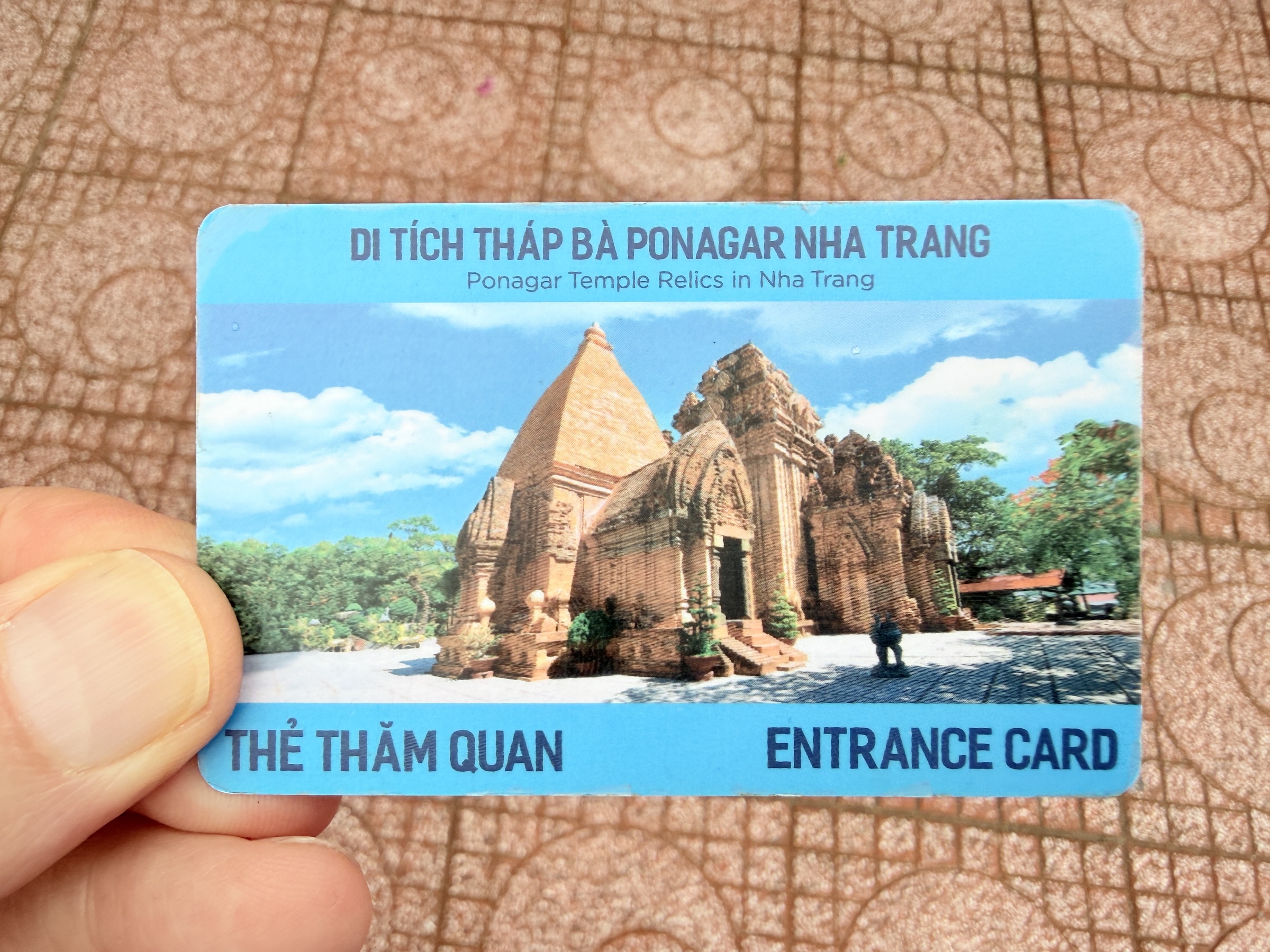
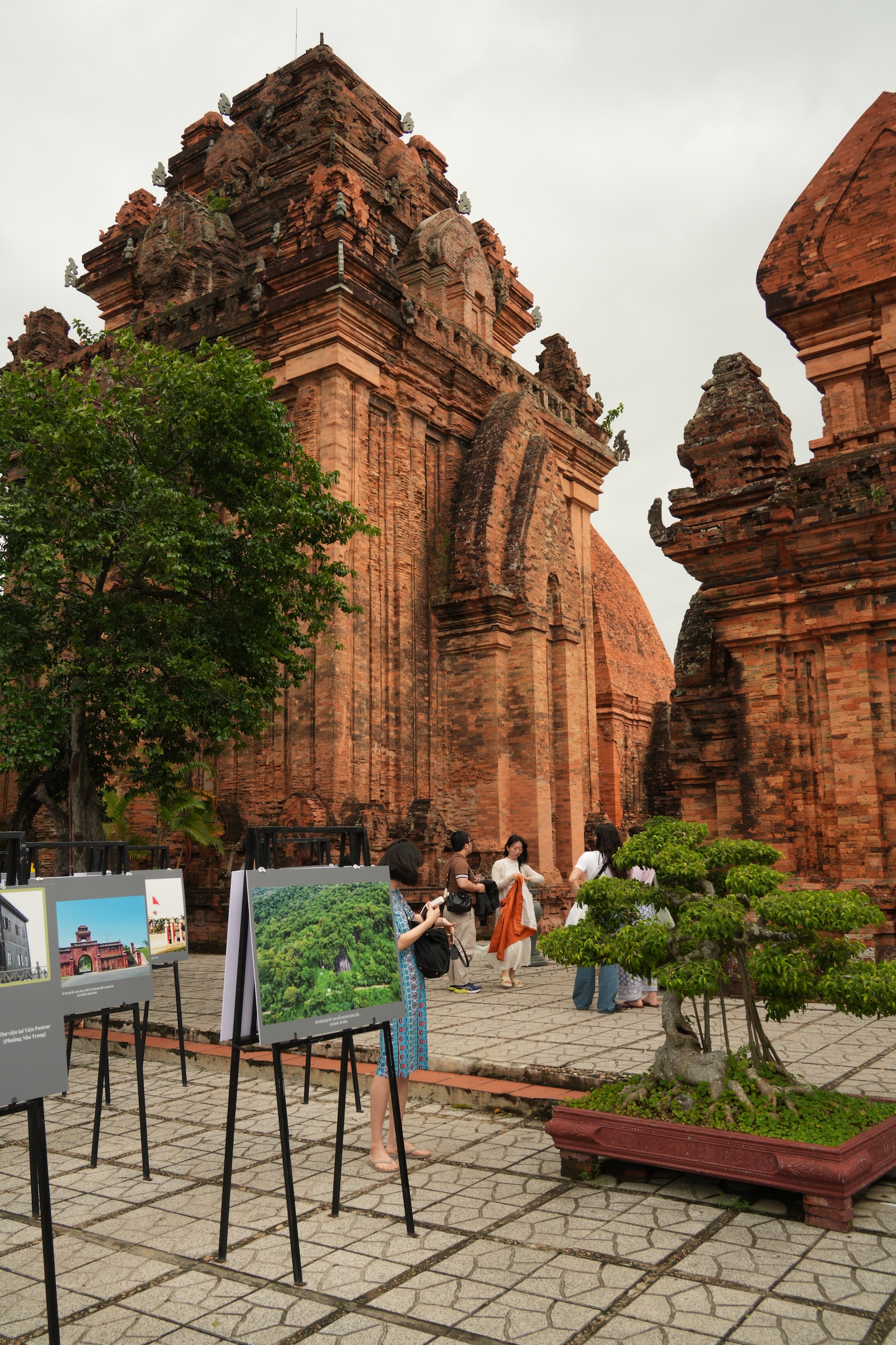
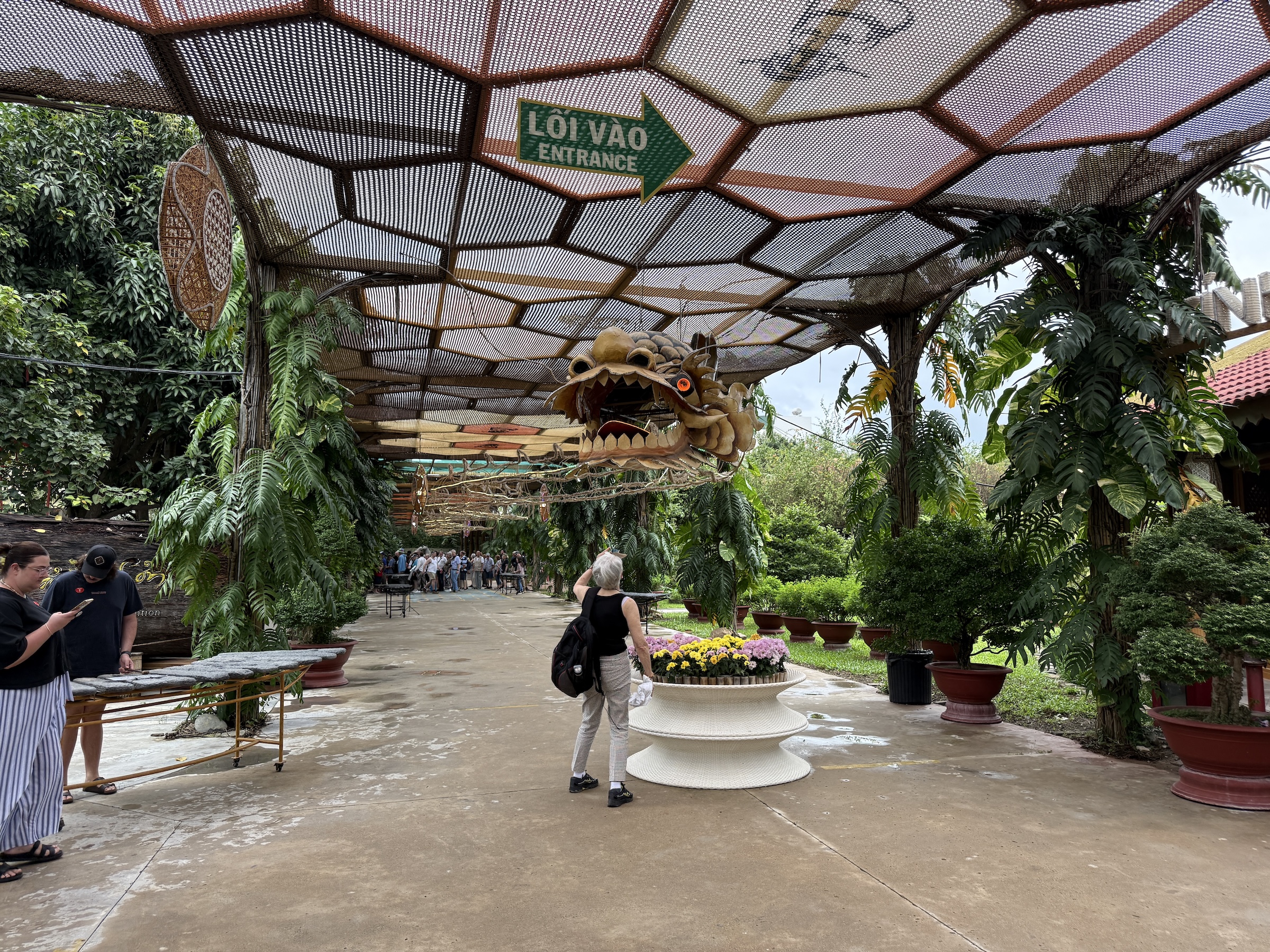
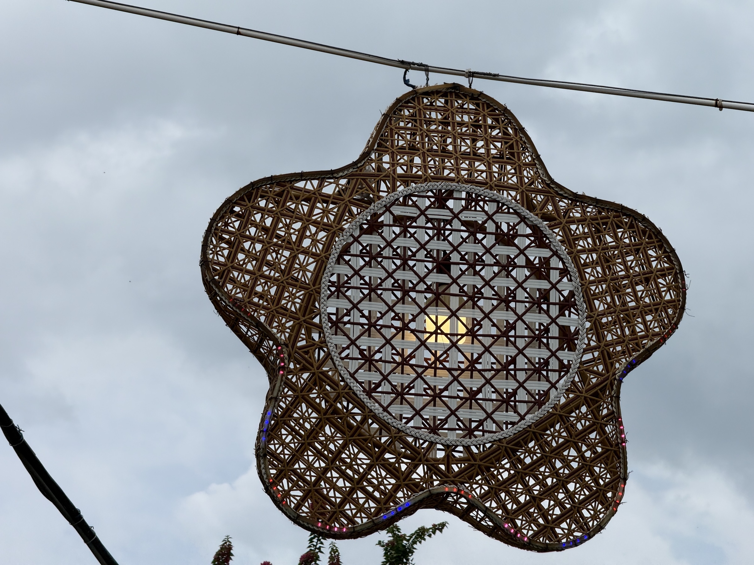
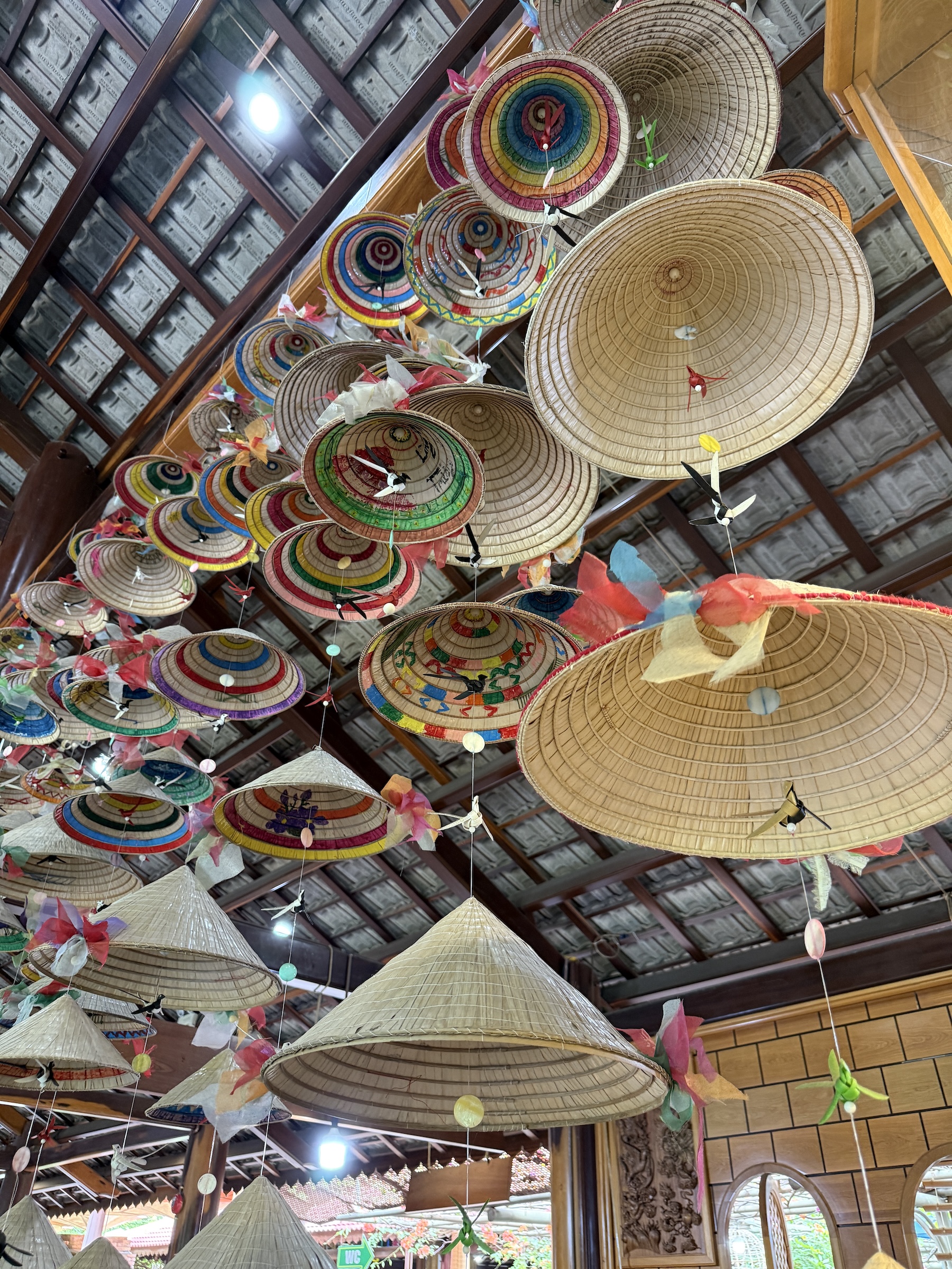
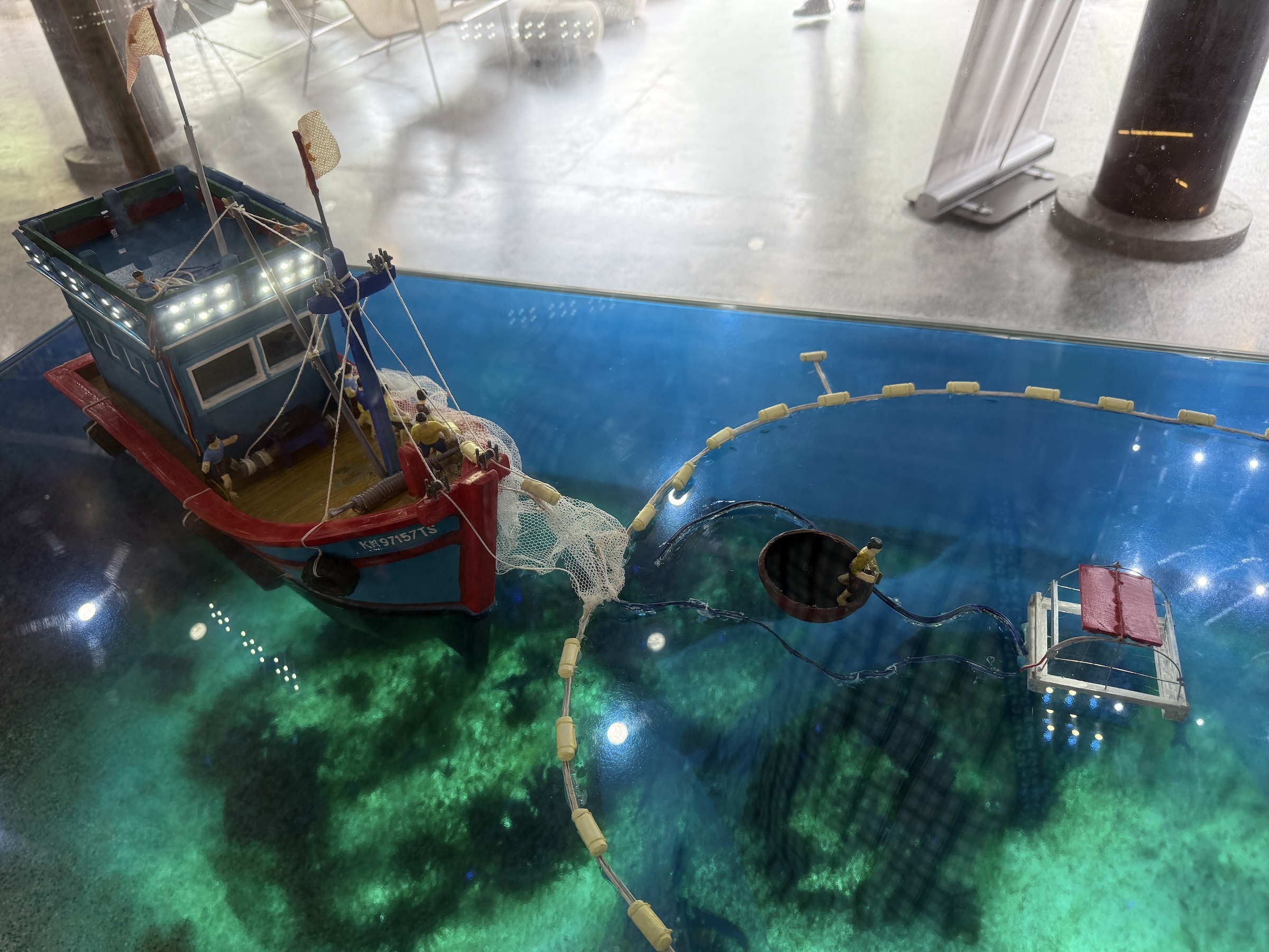
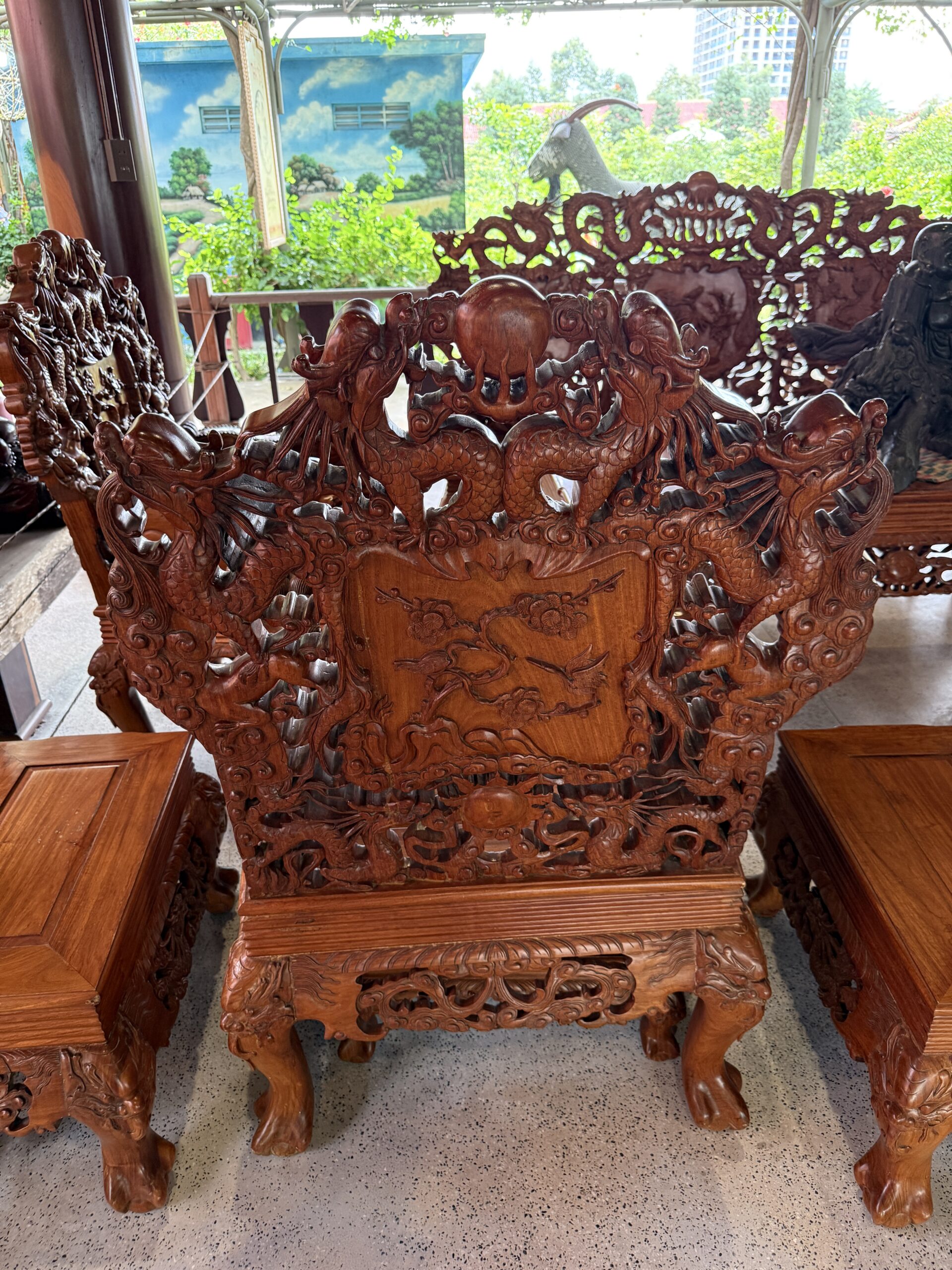
My coach bus excursion to Nha Trang was a whirlwind tour consisting of a visit to Po Nagar Temple, a short cruise on Cai River, and visits to an ancient house built from ebony wood, a mat weaving shop and an arts & crafts market.
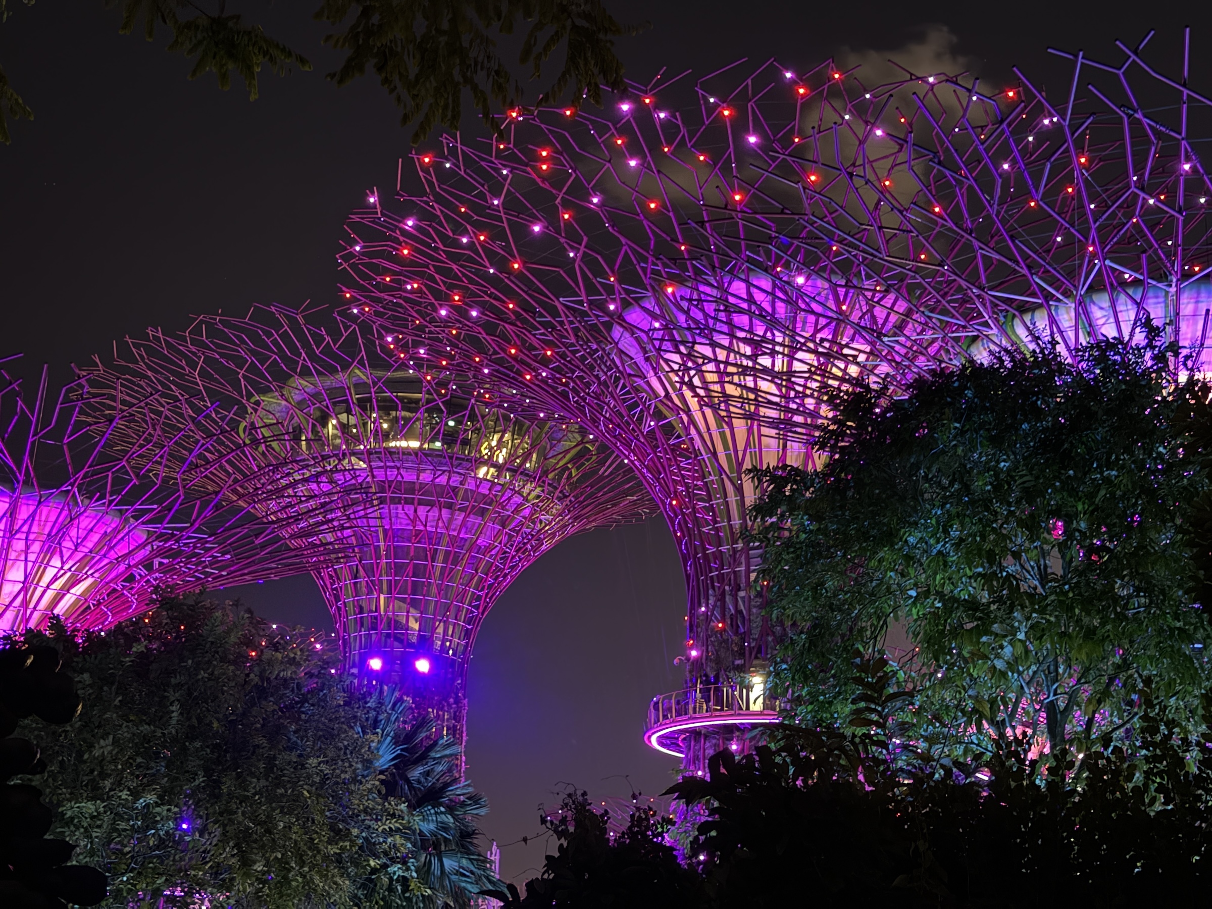
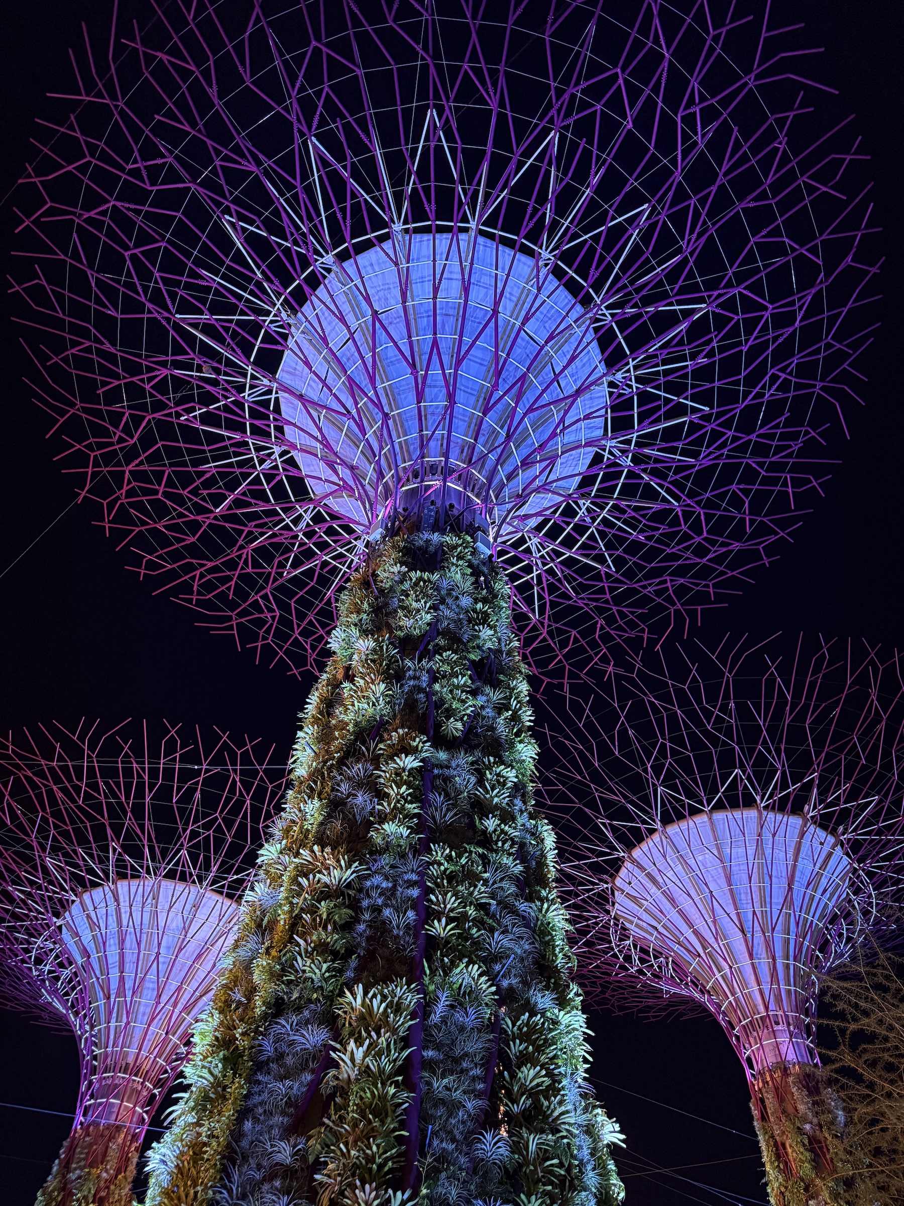
The Gardens by the Bay is a futuristic nature park spanning 101 hectares of reclaimed land right in the center of the city.
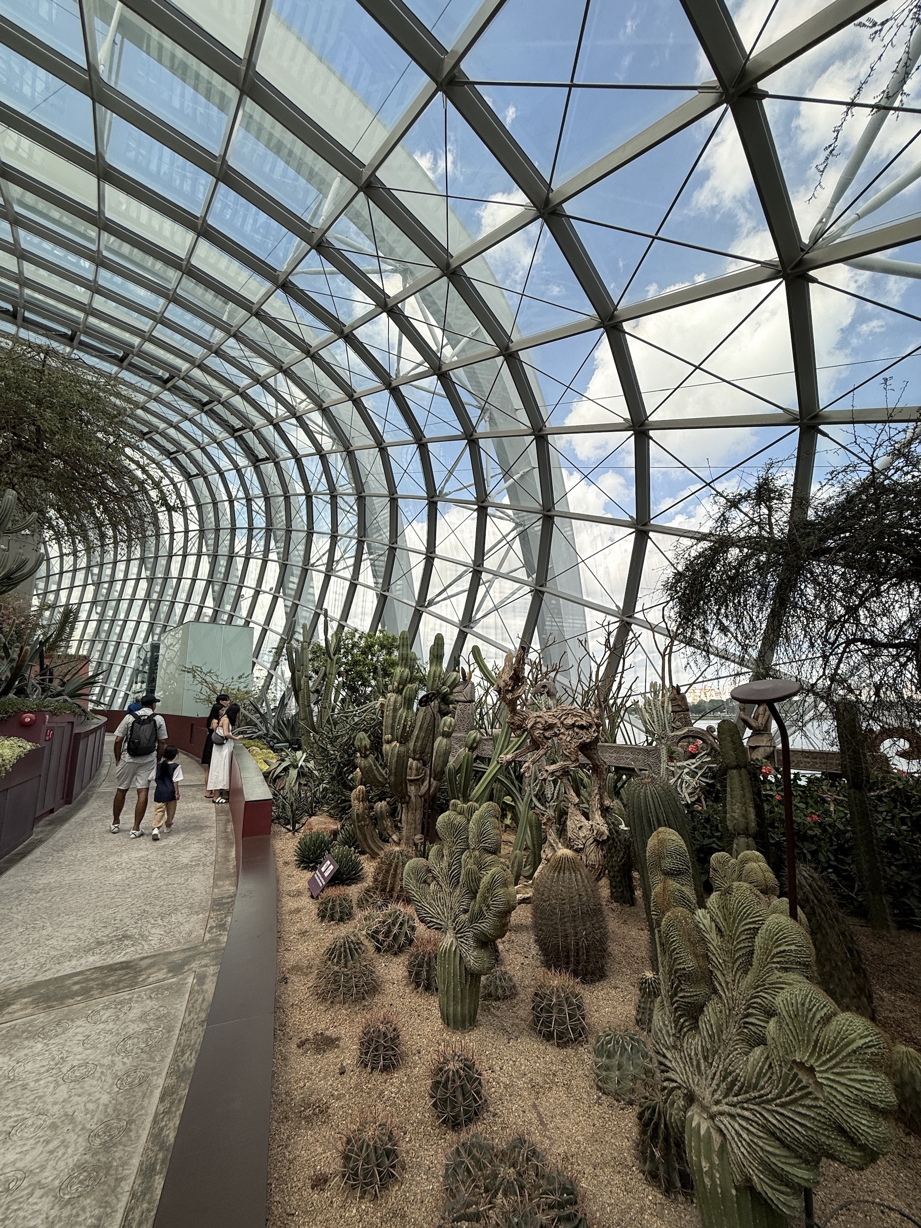
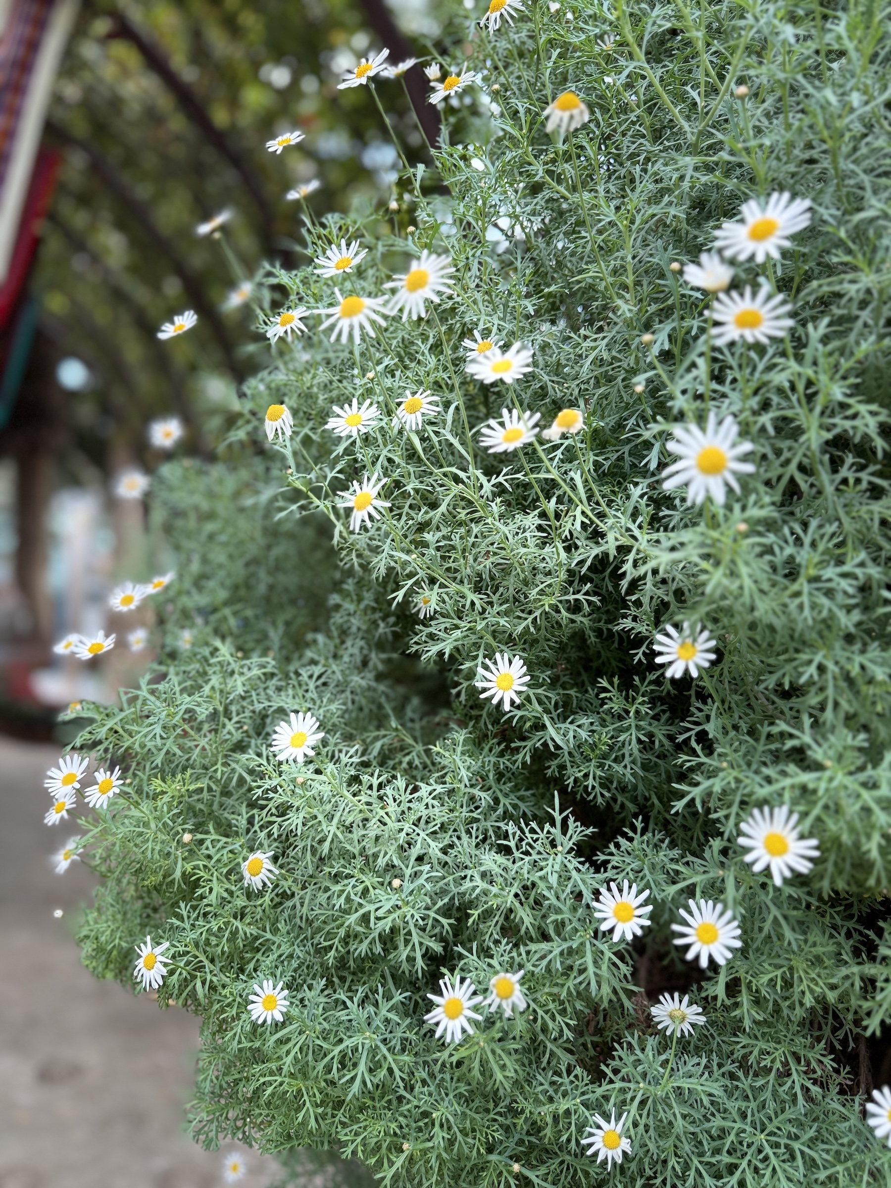
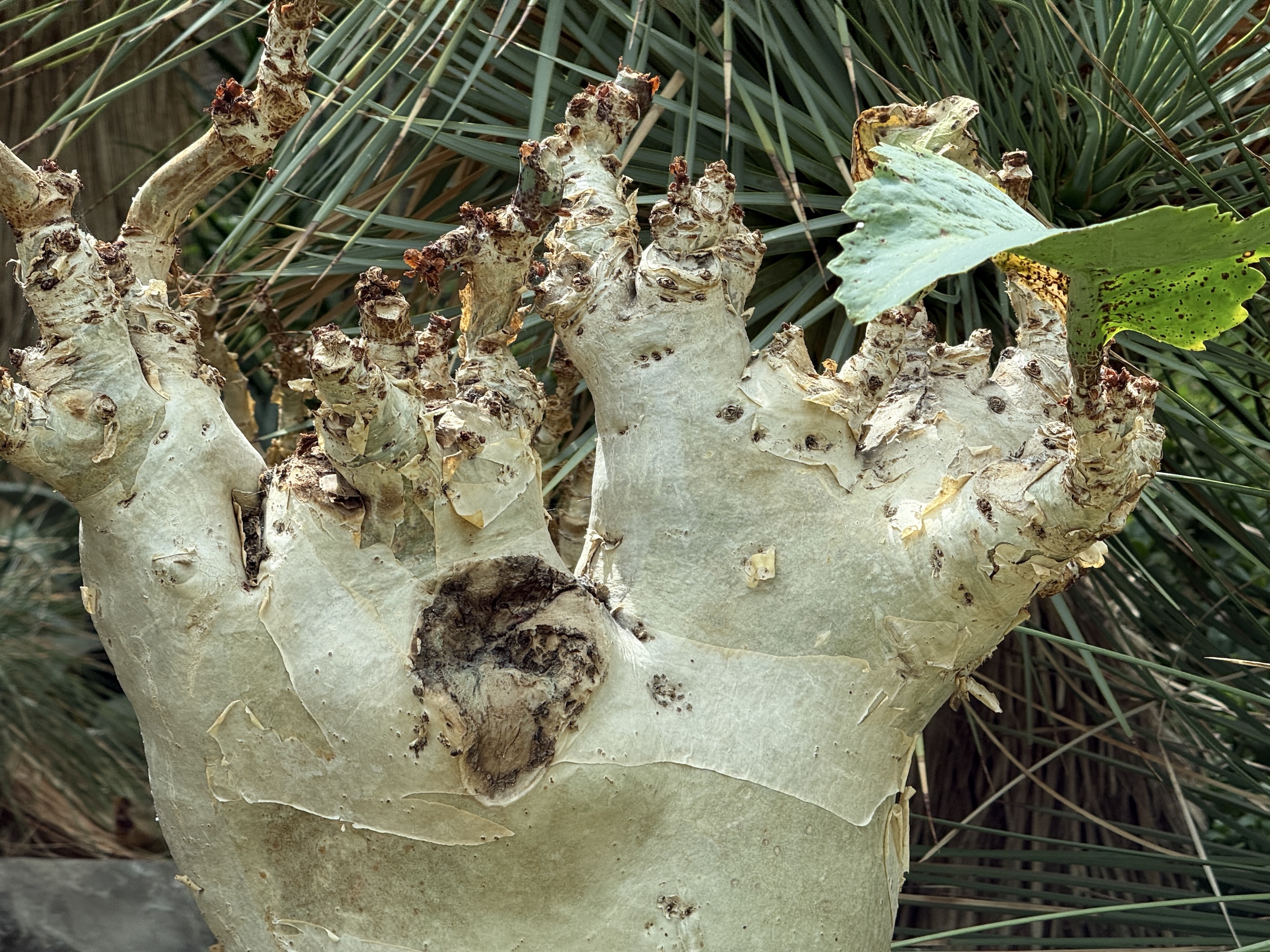
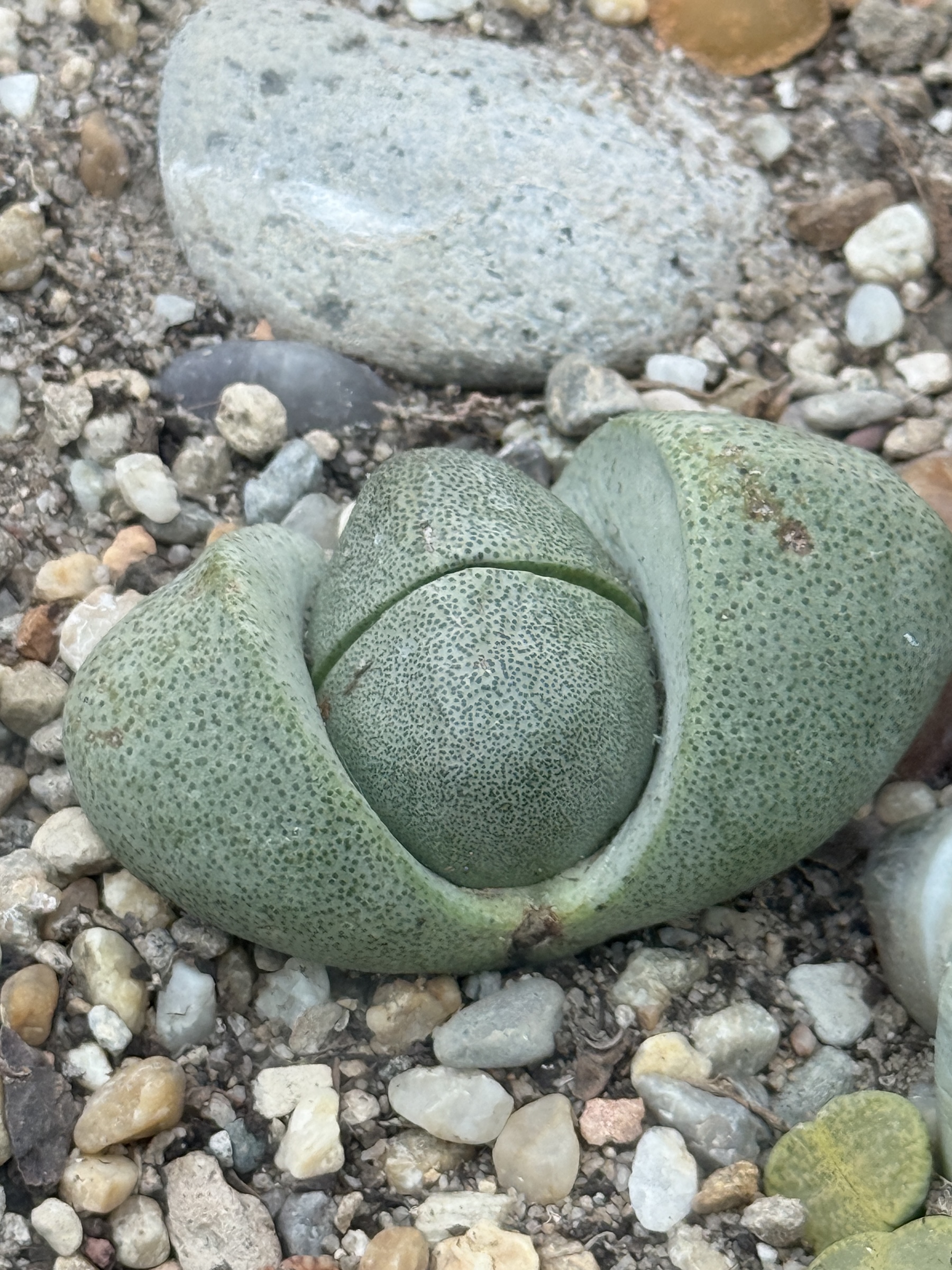
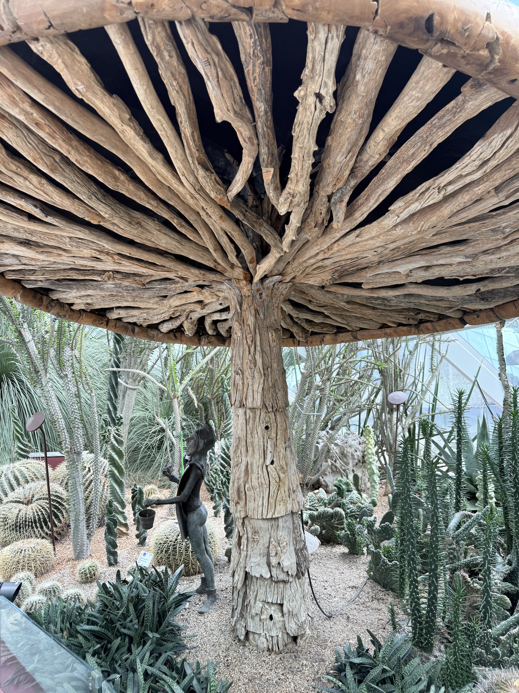
The Flower Dome is the world’s largest glass greenhouse and features a spectacular ensemble of plants, trees and flowers from all over the world.
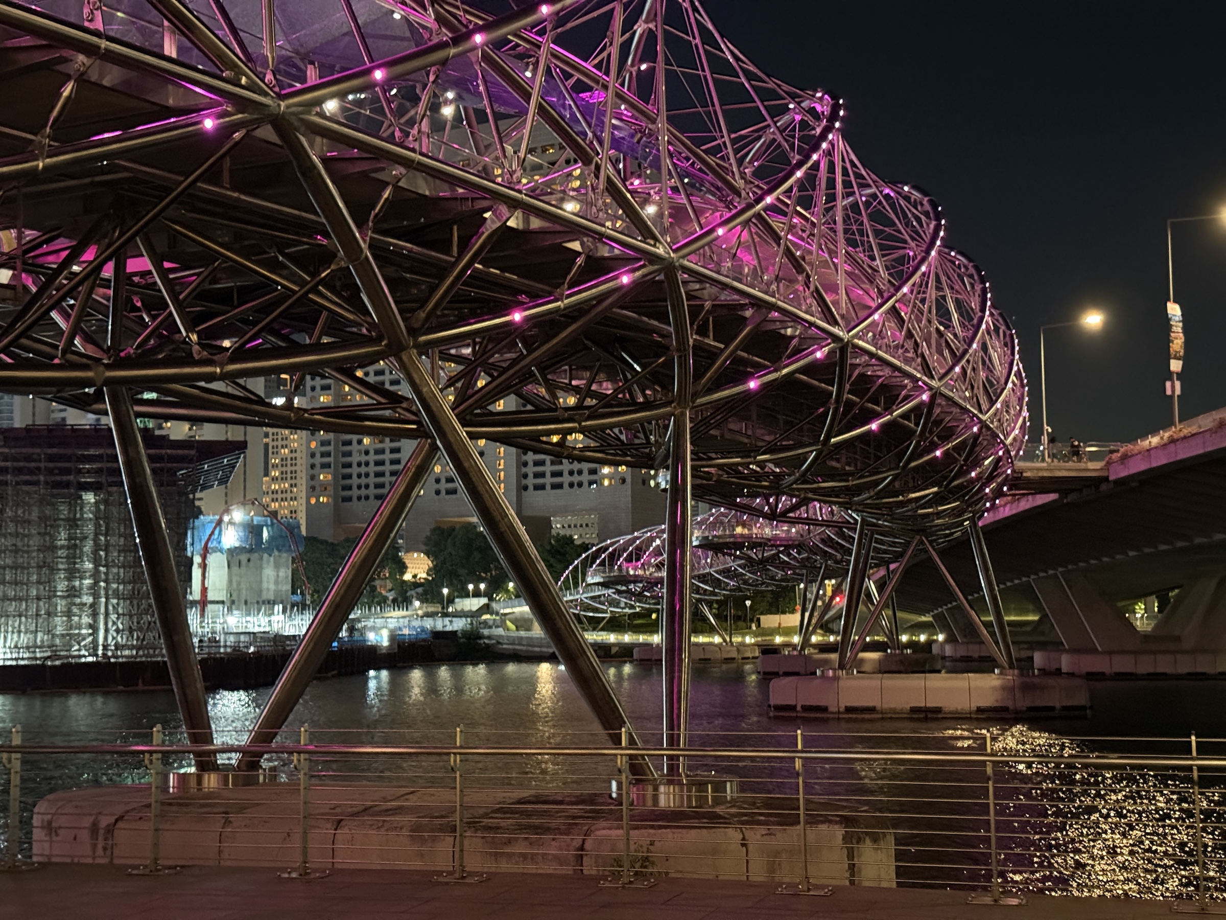
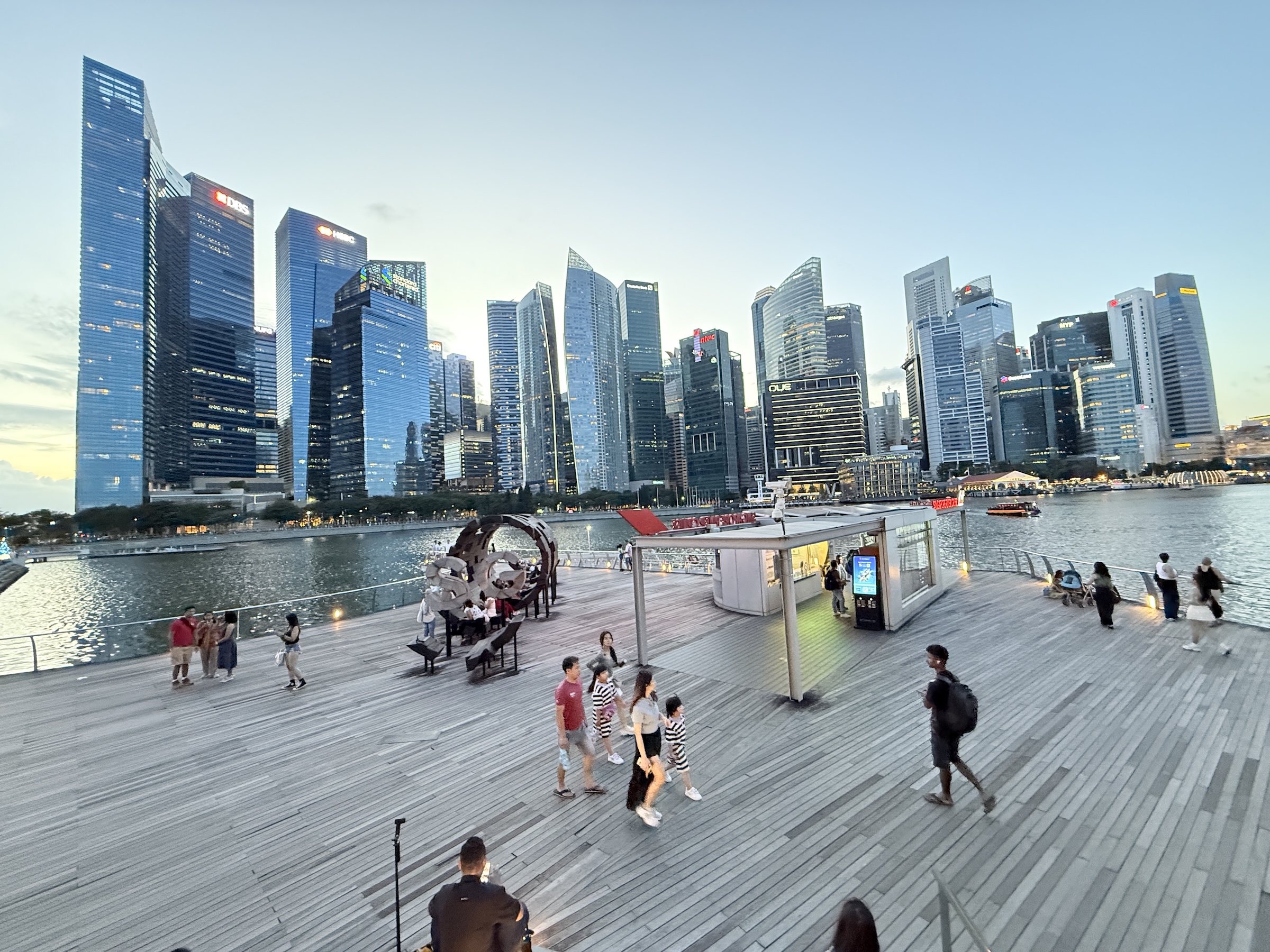
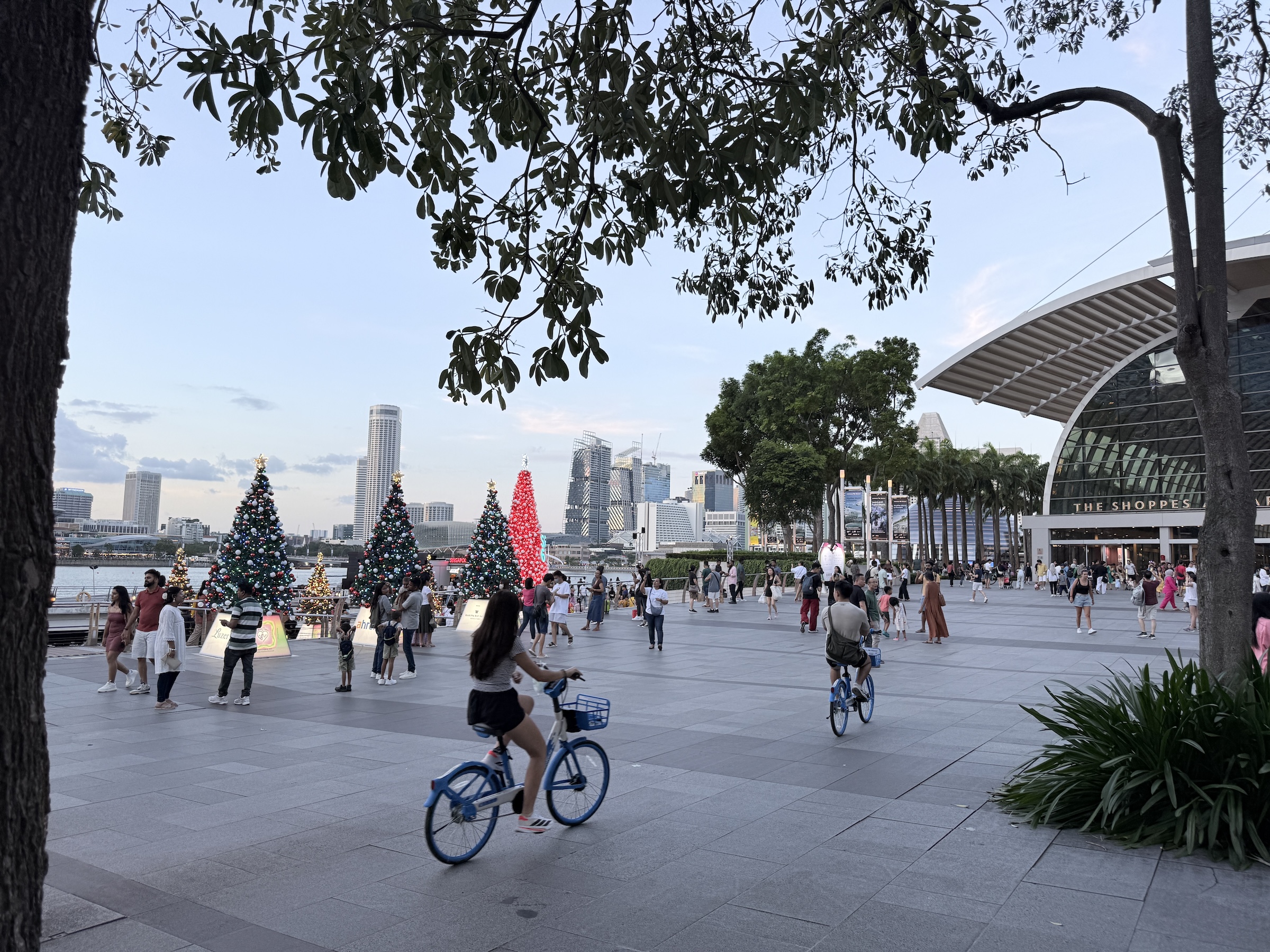
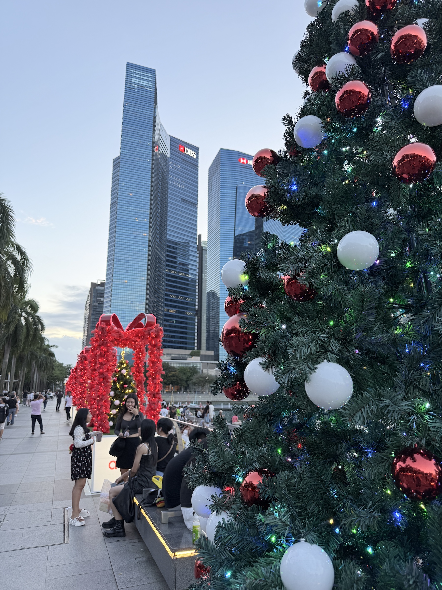
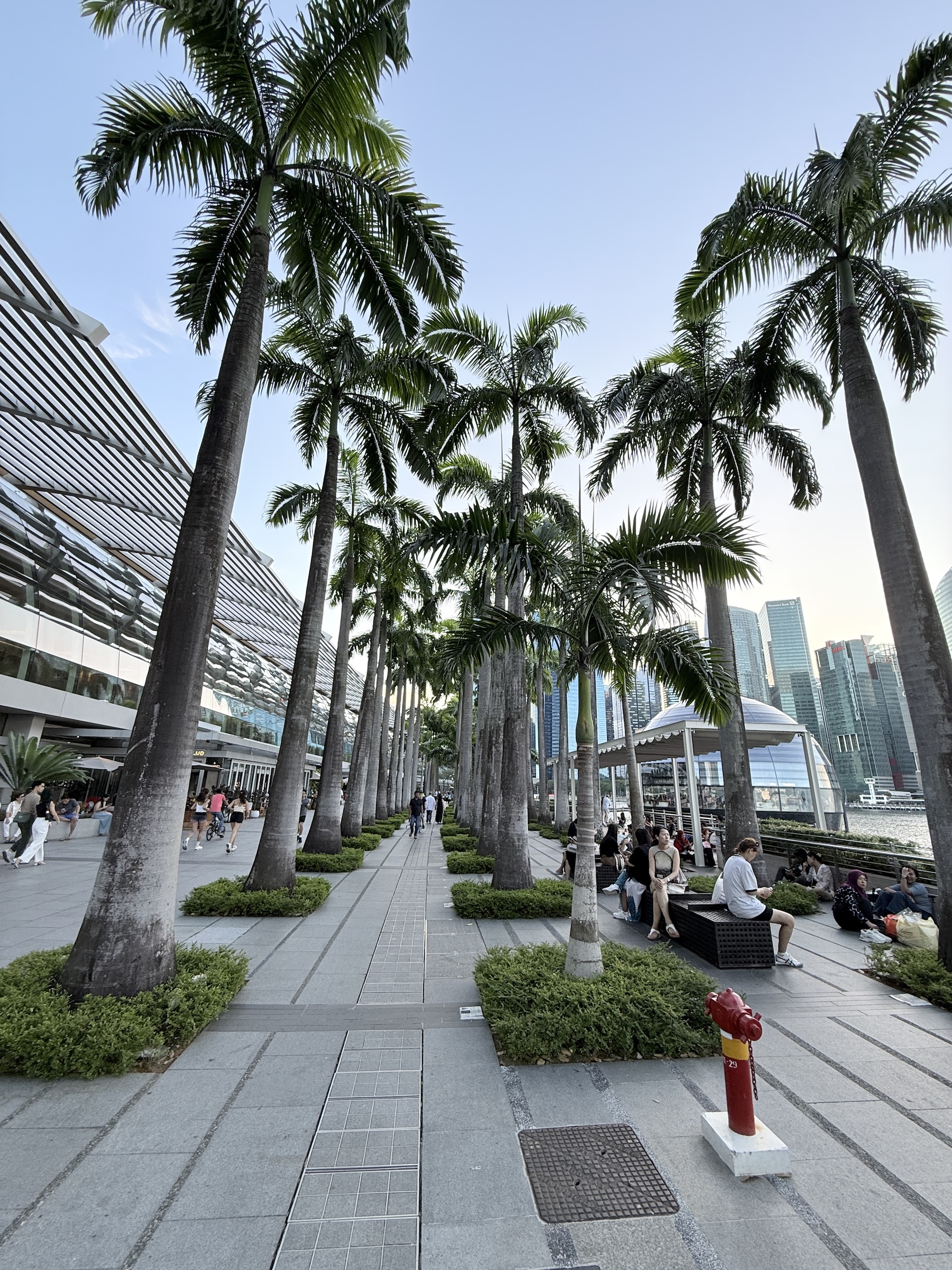
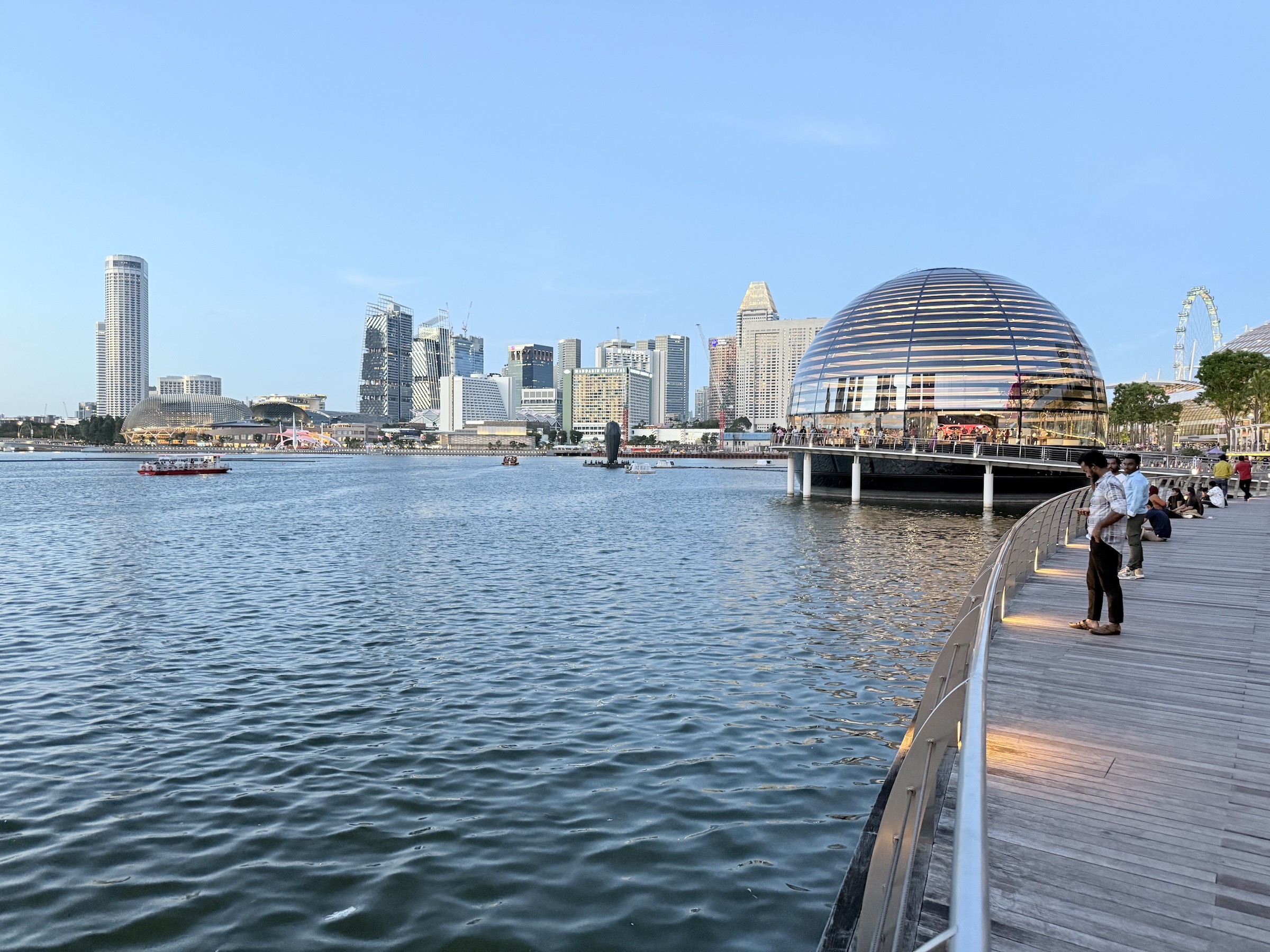
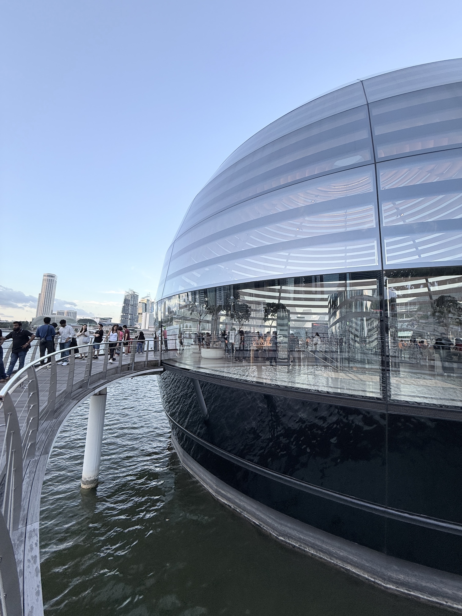
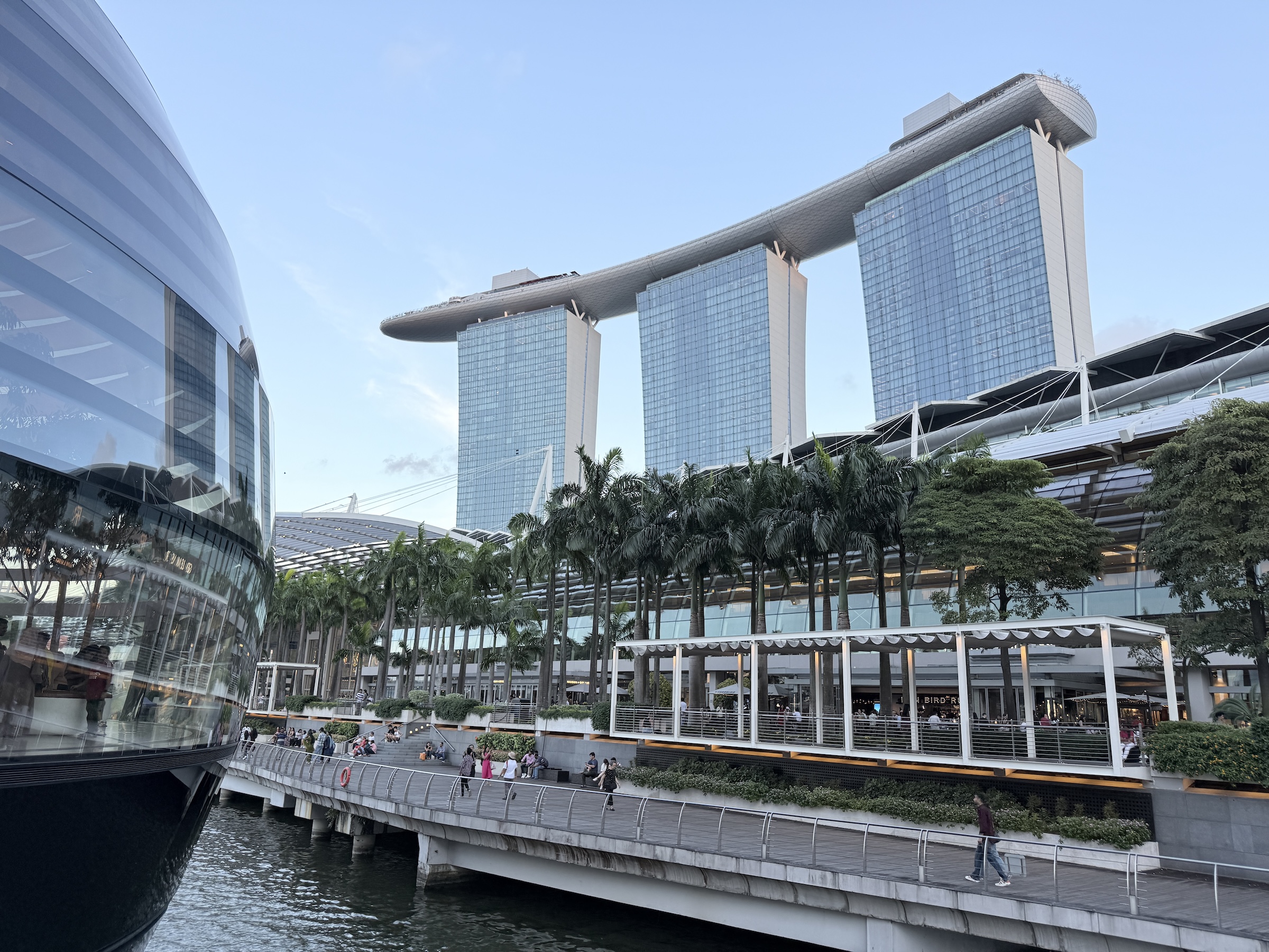
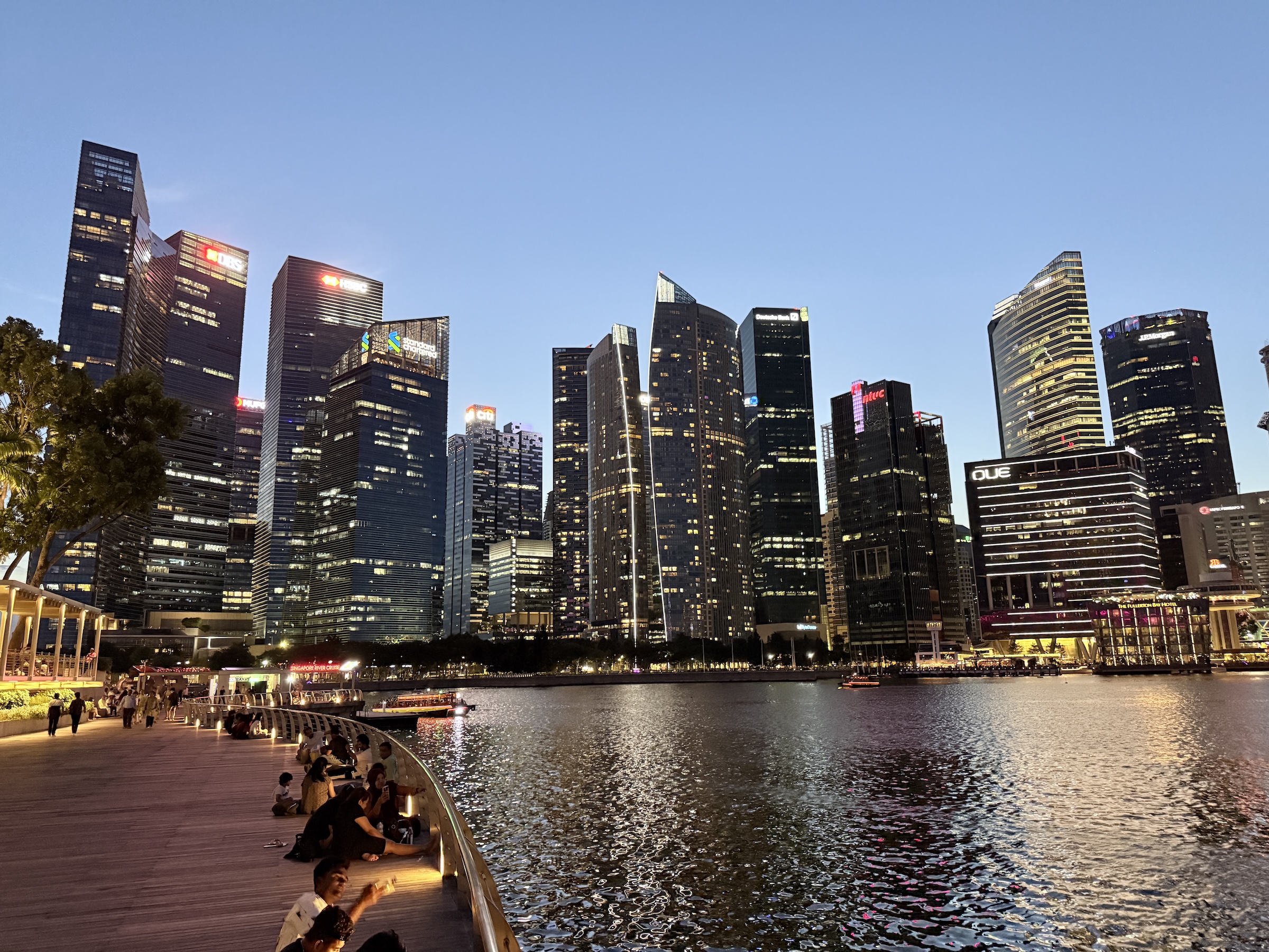
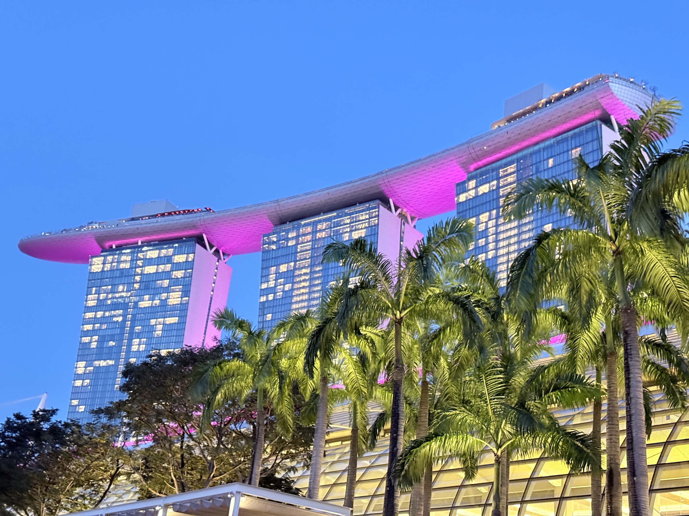
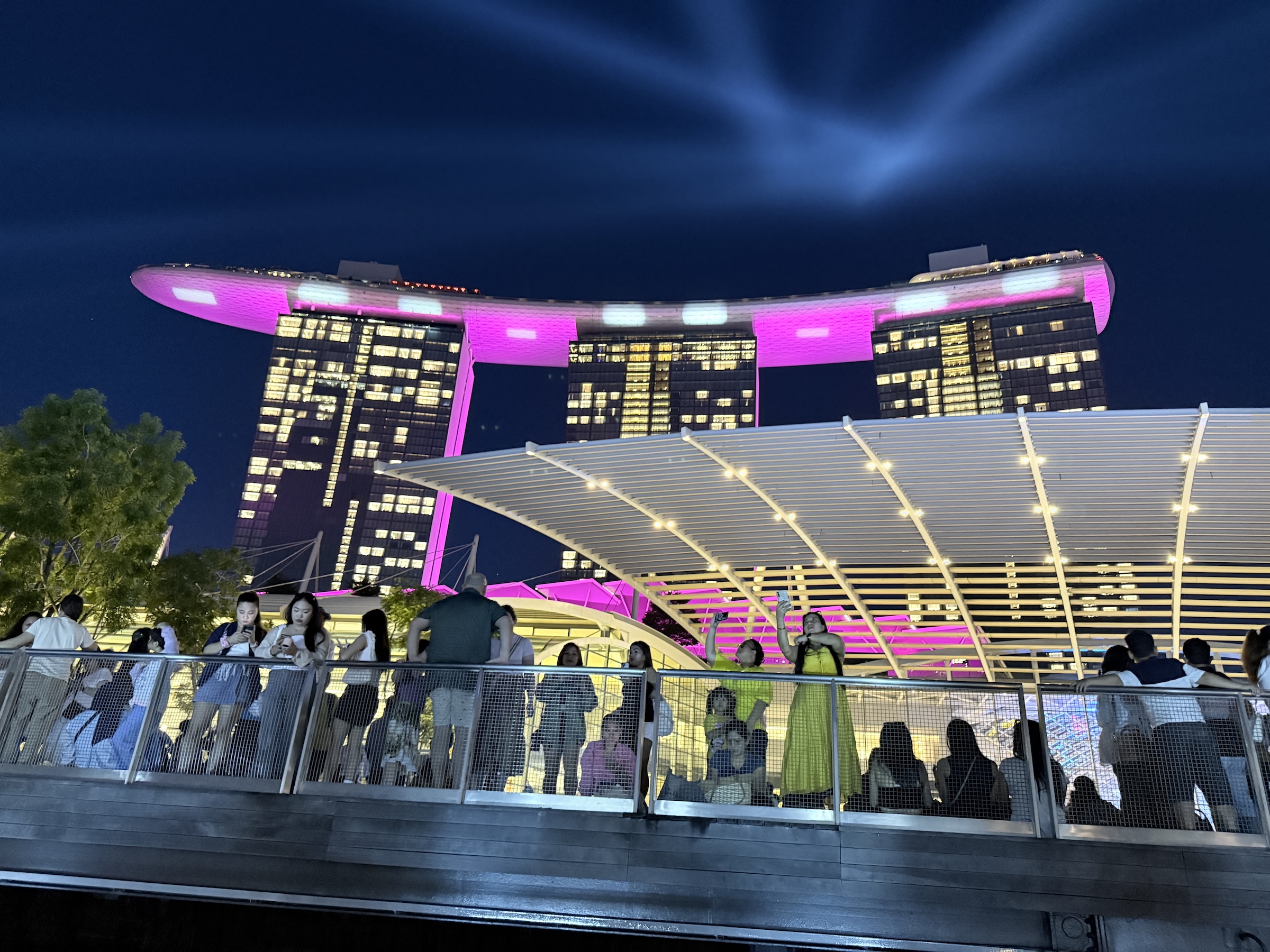
These pictures are all from the Marina Bay Waterfront Promenade where the Marina Bay Sands Hotel is.
The hotel’s grand opening was in February 2011.
It was designed by Moshe Safdie Architects (Safdie Architects), and features three tilted hotel towers linked by a massive, surfboard-like SkyPark at the top, housing gardens, restaurants, and the famous infinity pool, inspired by a deck of cards.
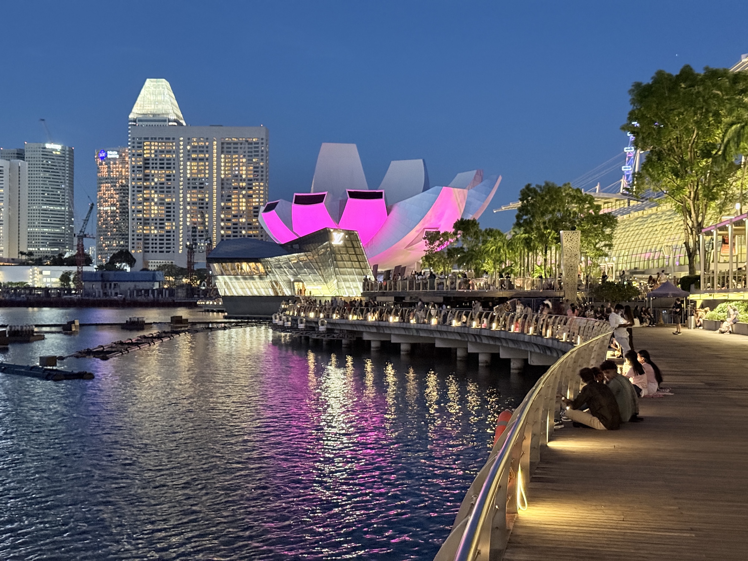
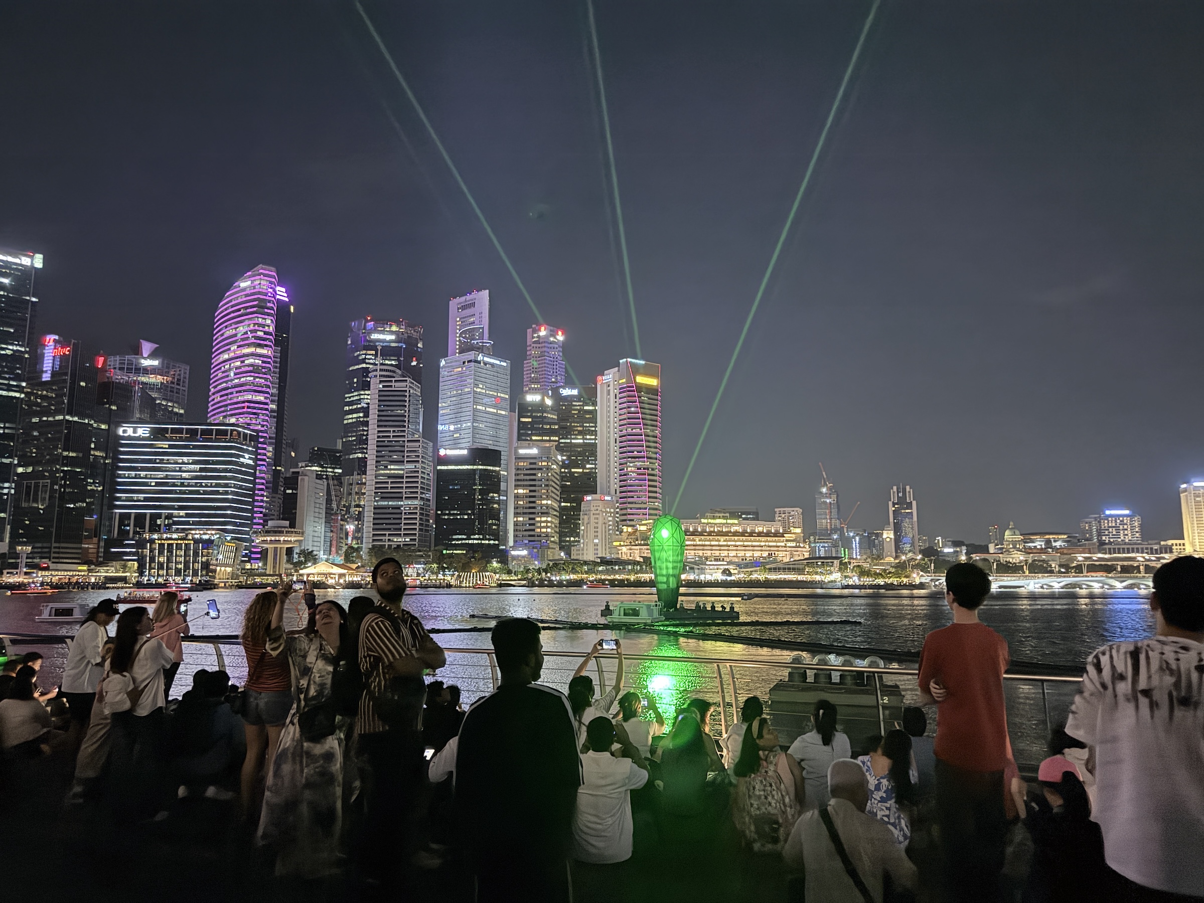
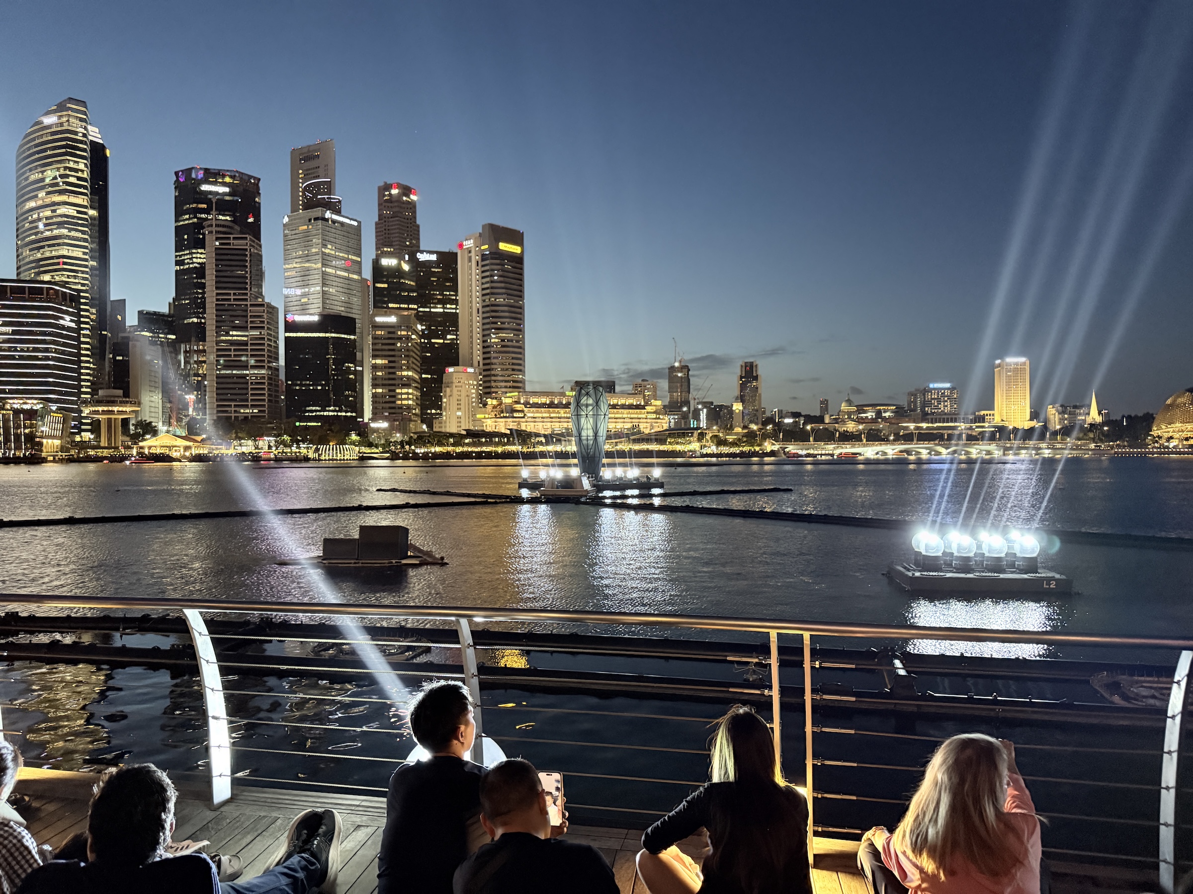
The sphere in the water is an Apple store and the building with the petals of a flower is the ArtScience Museum.
After sunset, there was a laser and fountain show.
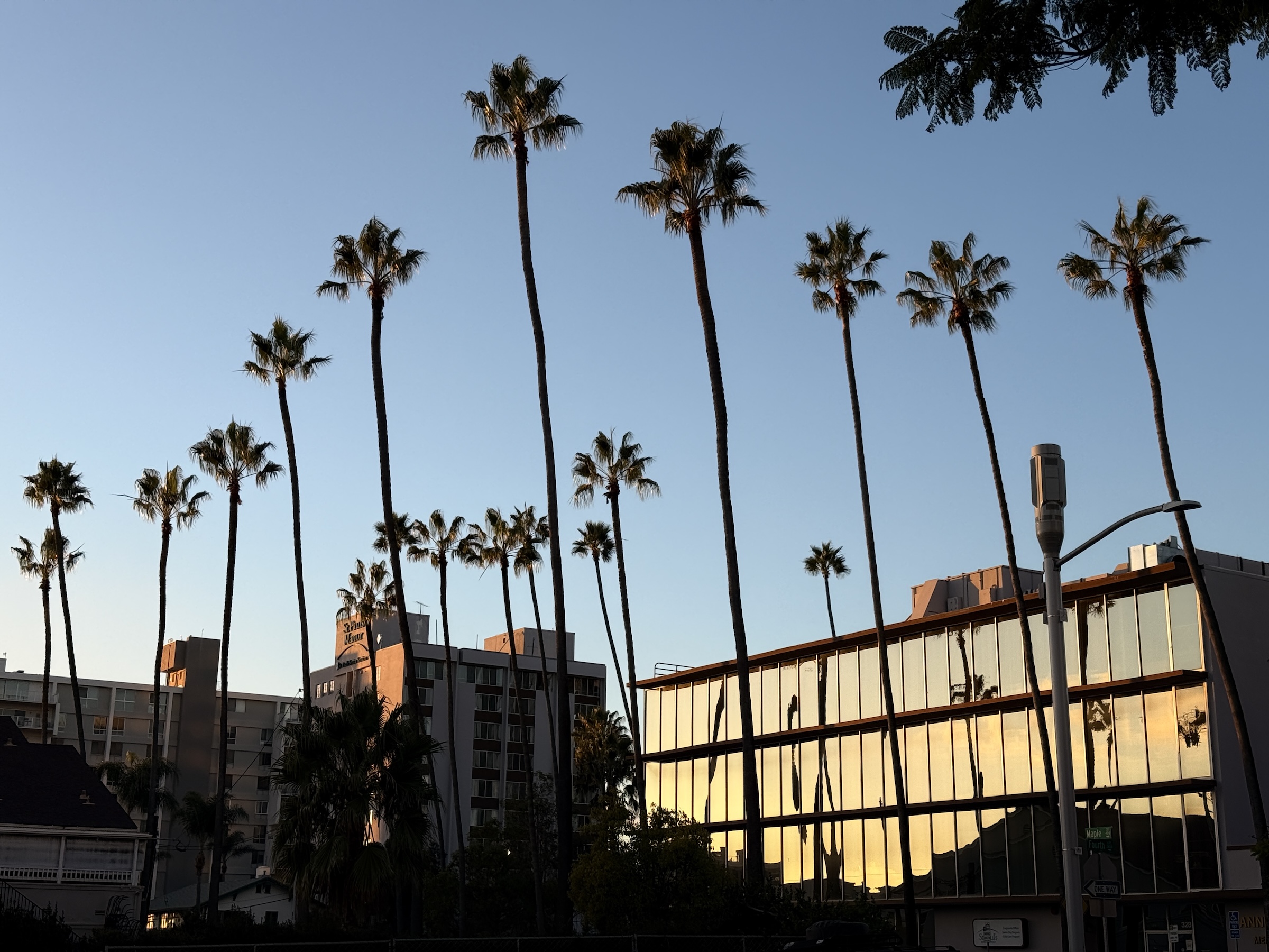
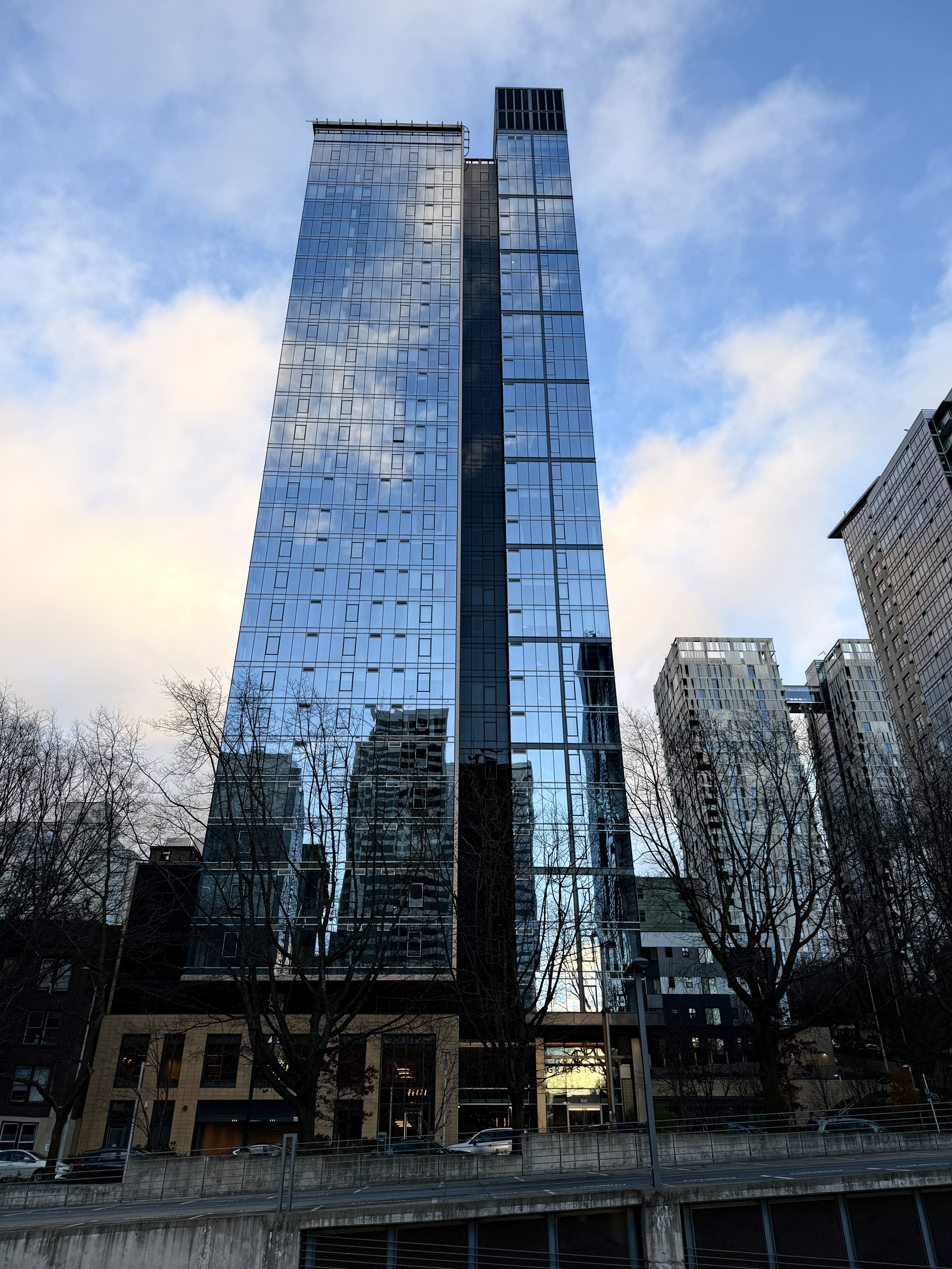
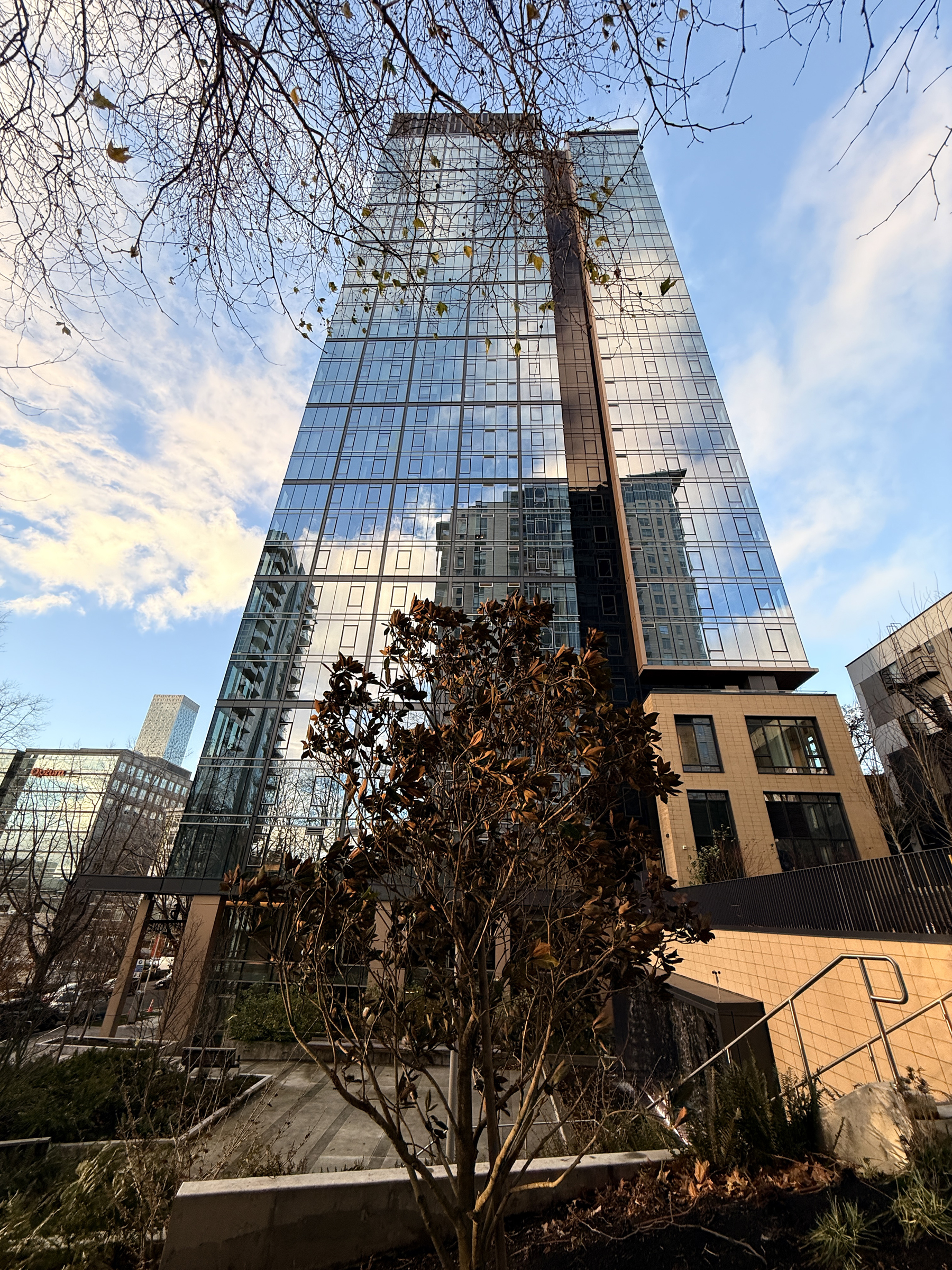
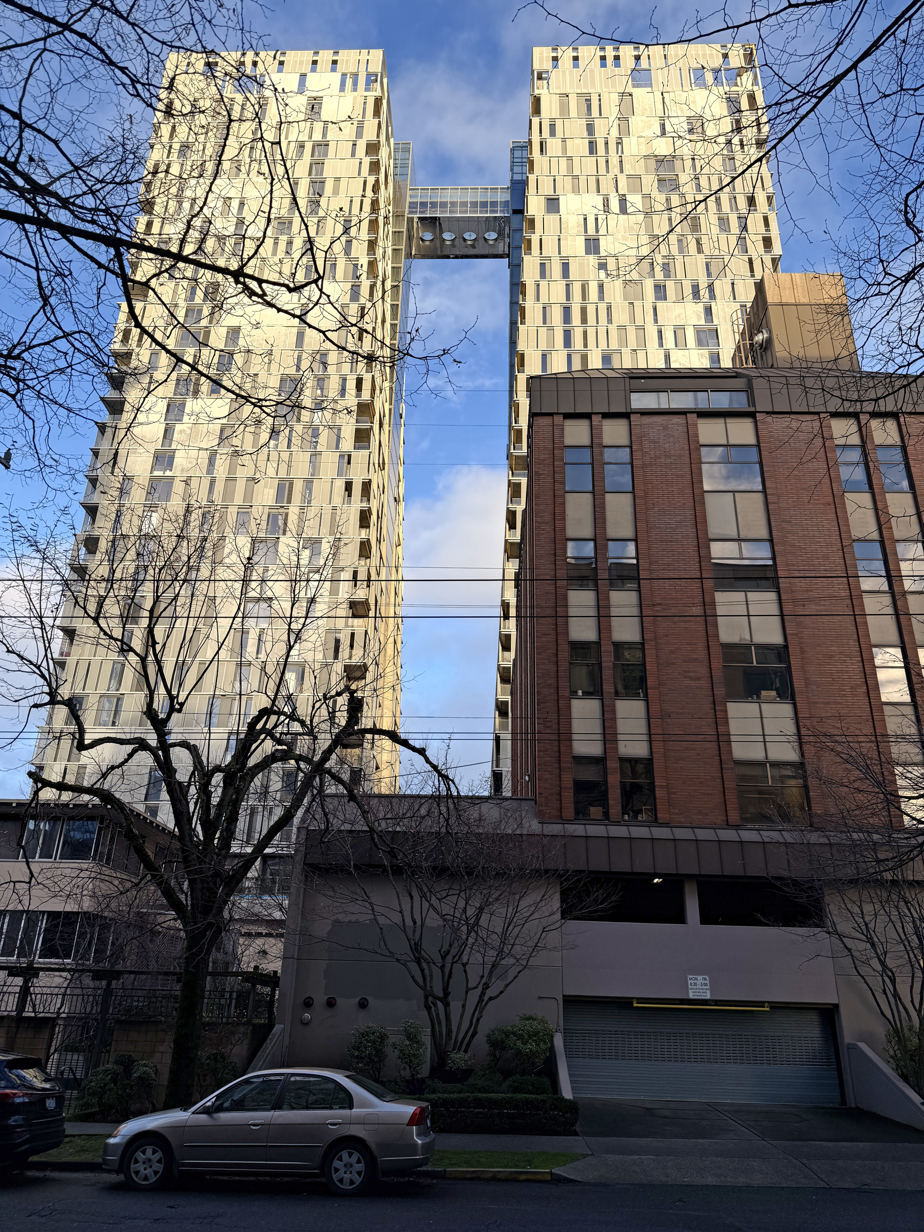
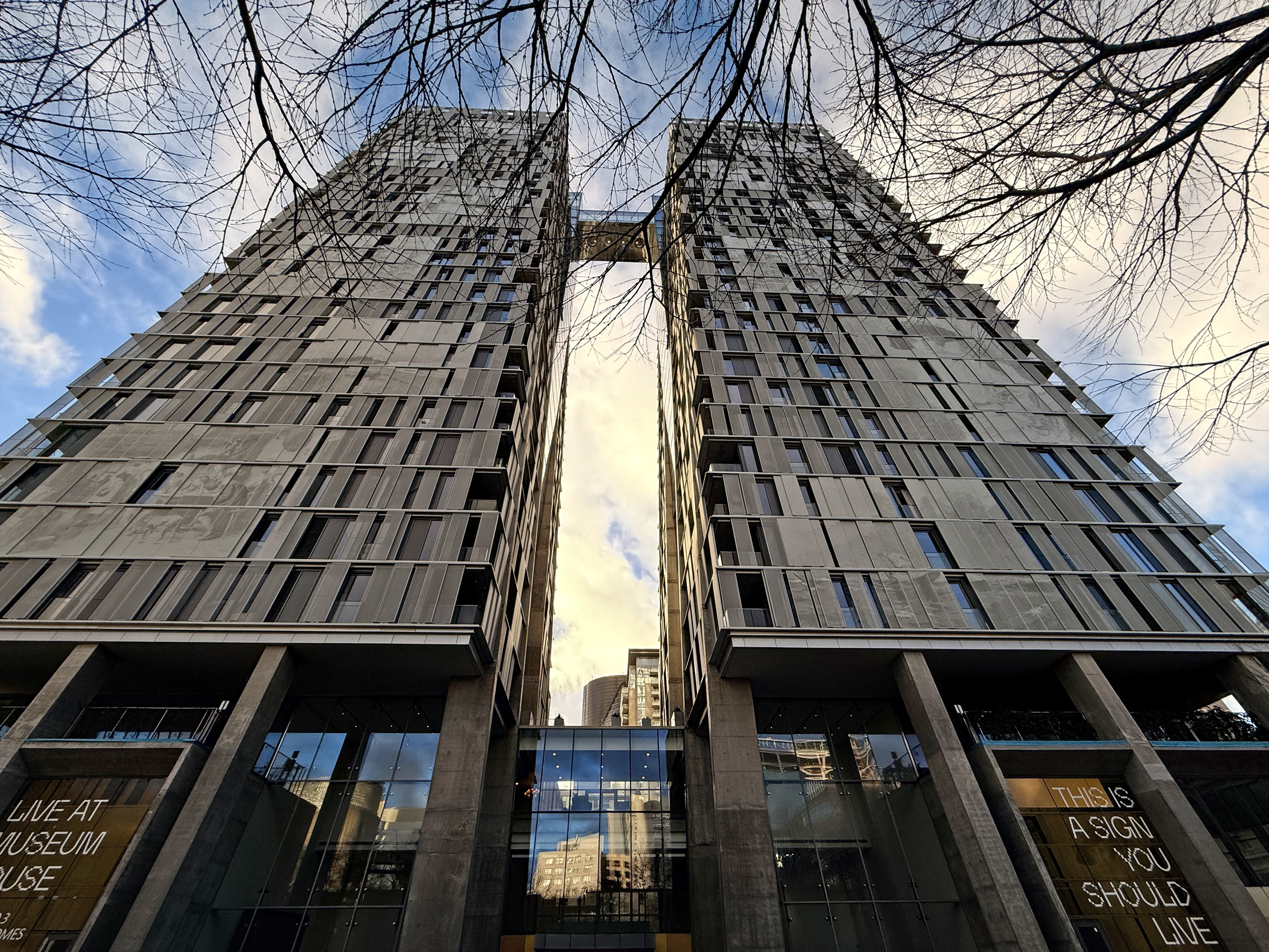
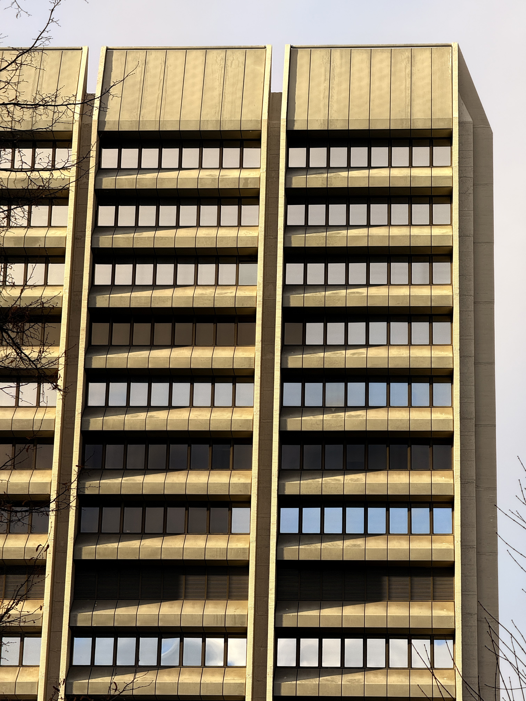
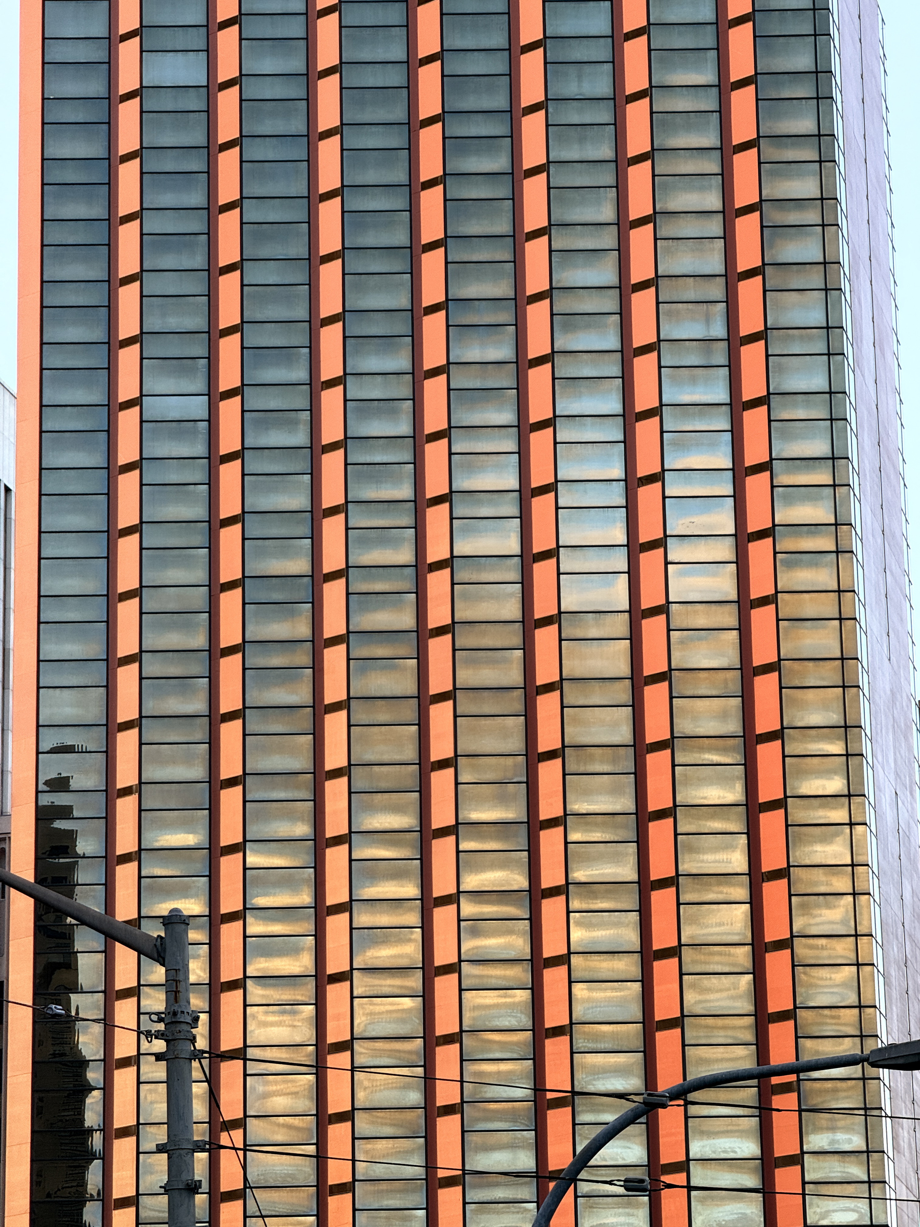
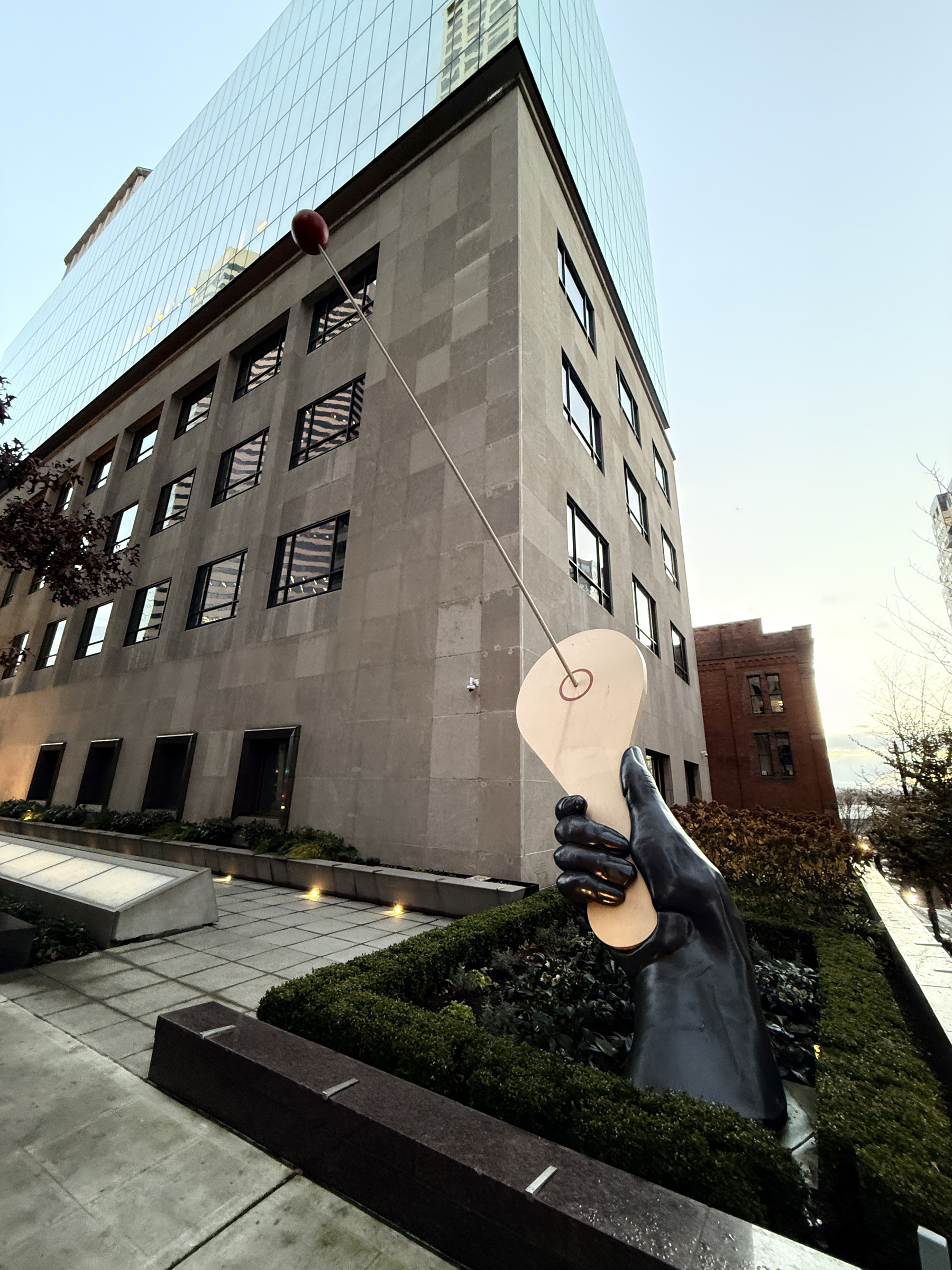
I braved the cold wind outside to do a little self-directed architecture tour on First Hill today.
I wanted to take a look at the The Graystone Seattle on Columbia Avenue and the Museum House complex with its twin towers.
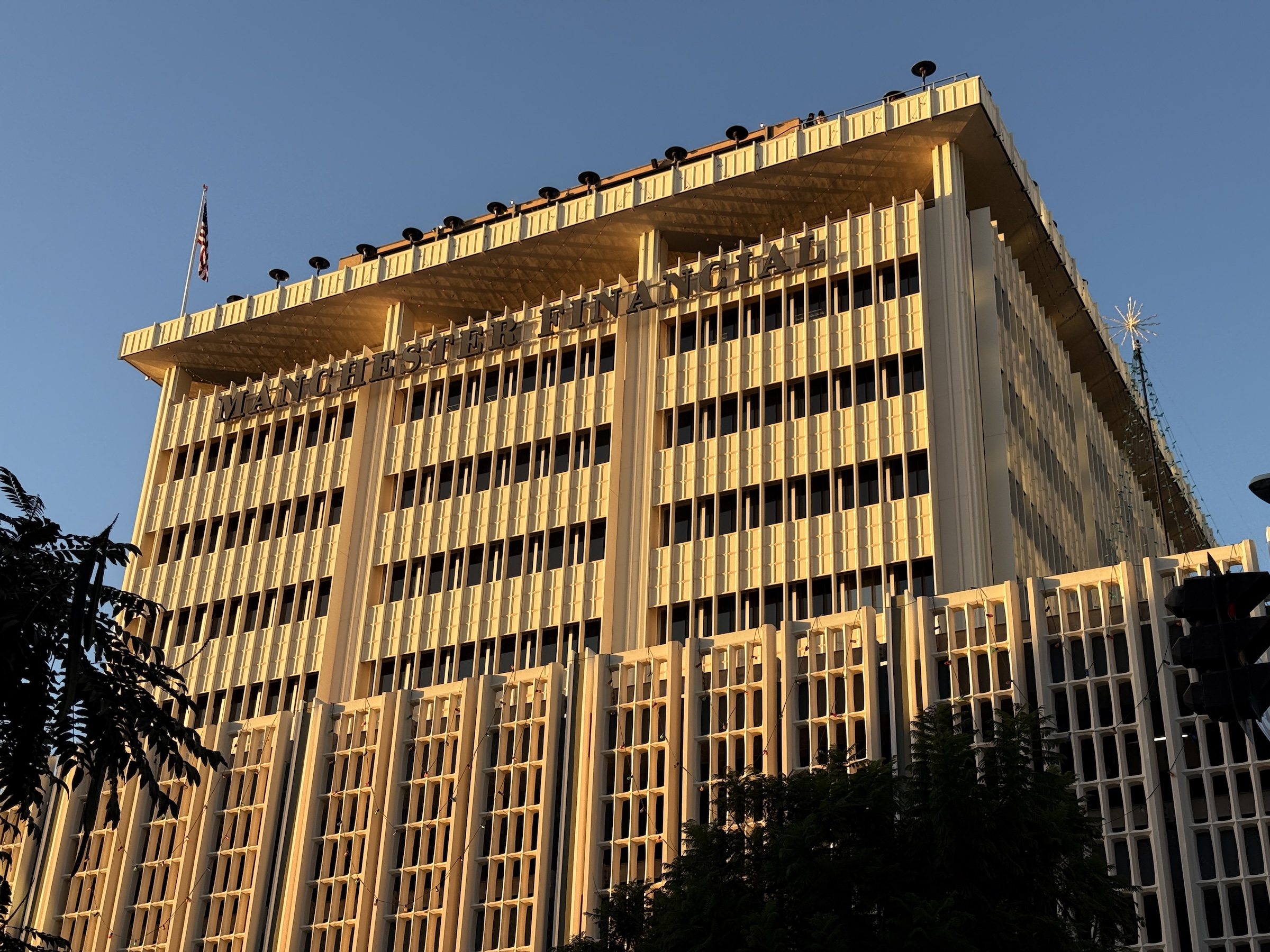
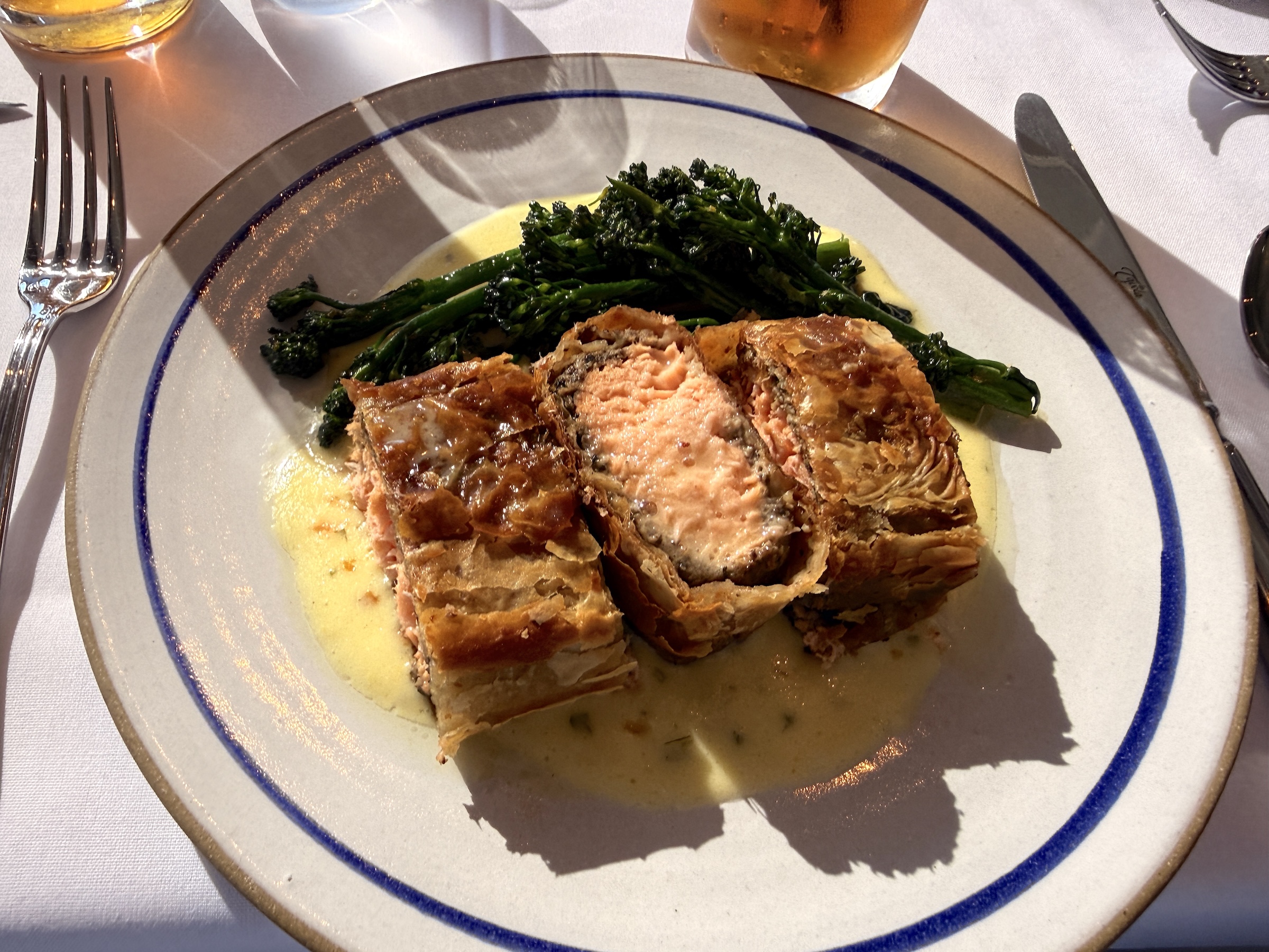
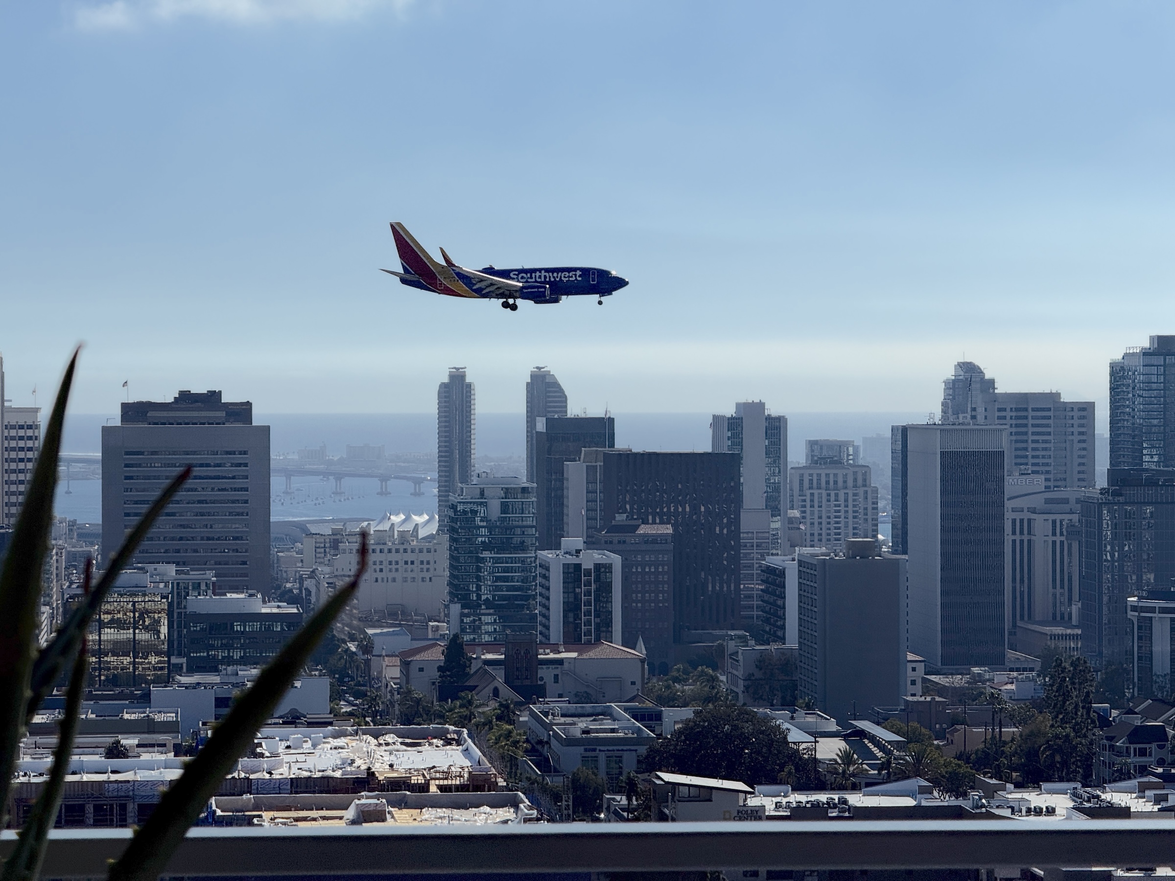
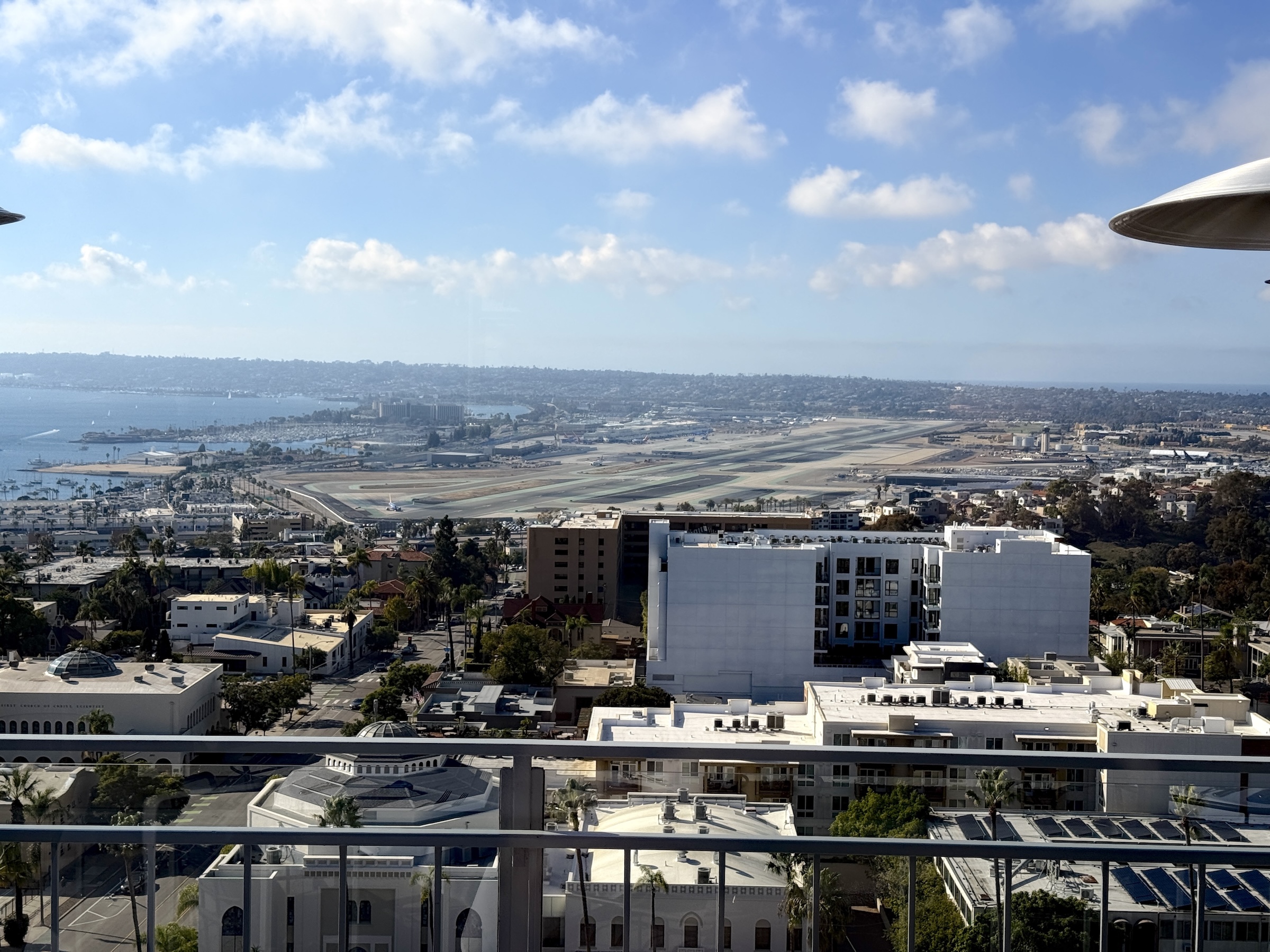
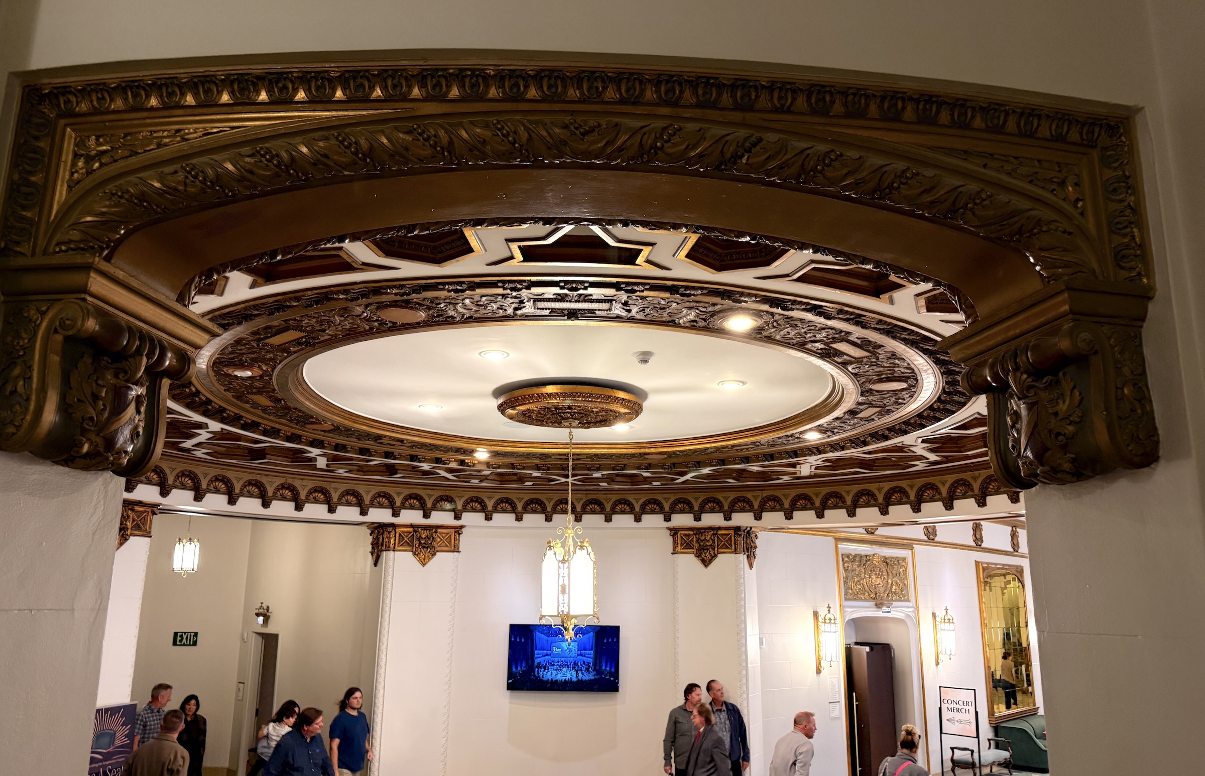
Three of us had a lovely lunch at Mister A’s restaurant in downtown San Diego. The restaurant is on the 12th floor of the Manchester Financial Building and offers great views of downtown, the Coronado Bridge and even the runways at San Diego International airport.
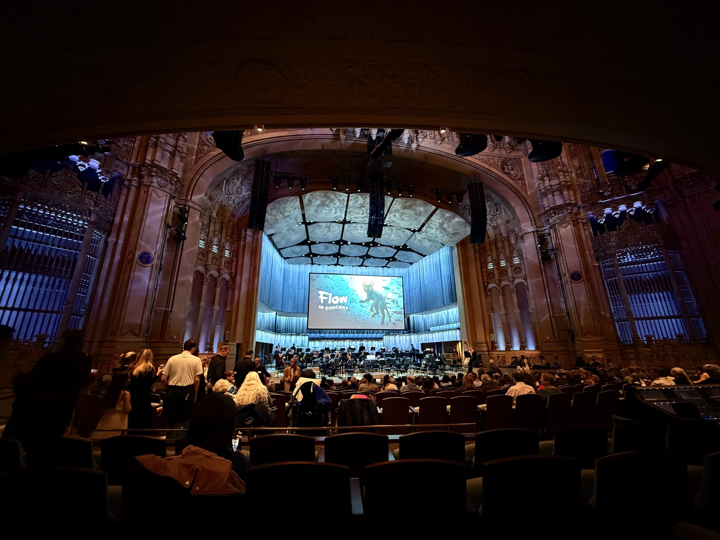
After lunch* we made our way down 5th Avenue to Jacobs Music Center to attend a live performance by the San Diego Symphony of the music that was composed for the animated movie Flow (released 2024).
*Mine was a king salmon ‘Wellington’ (shown below).