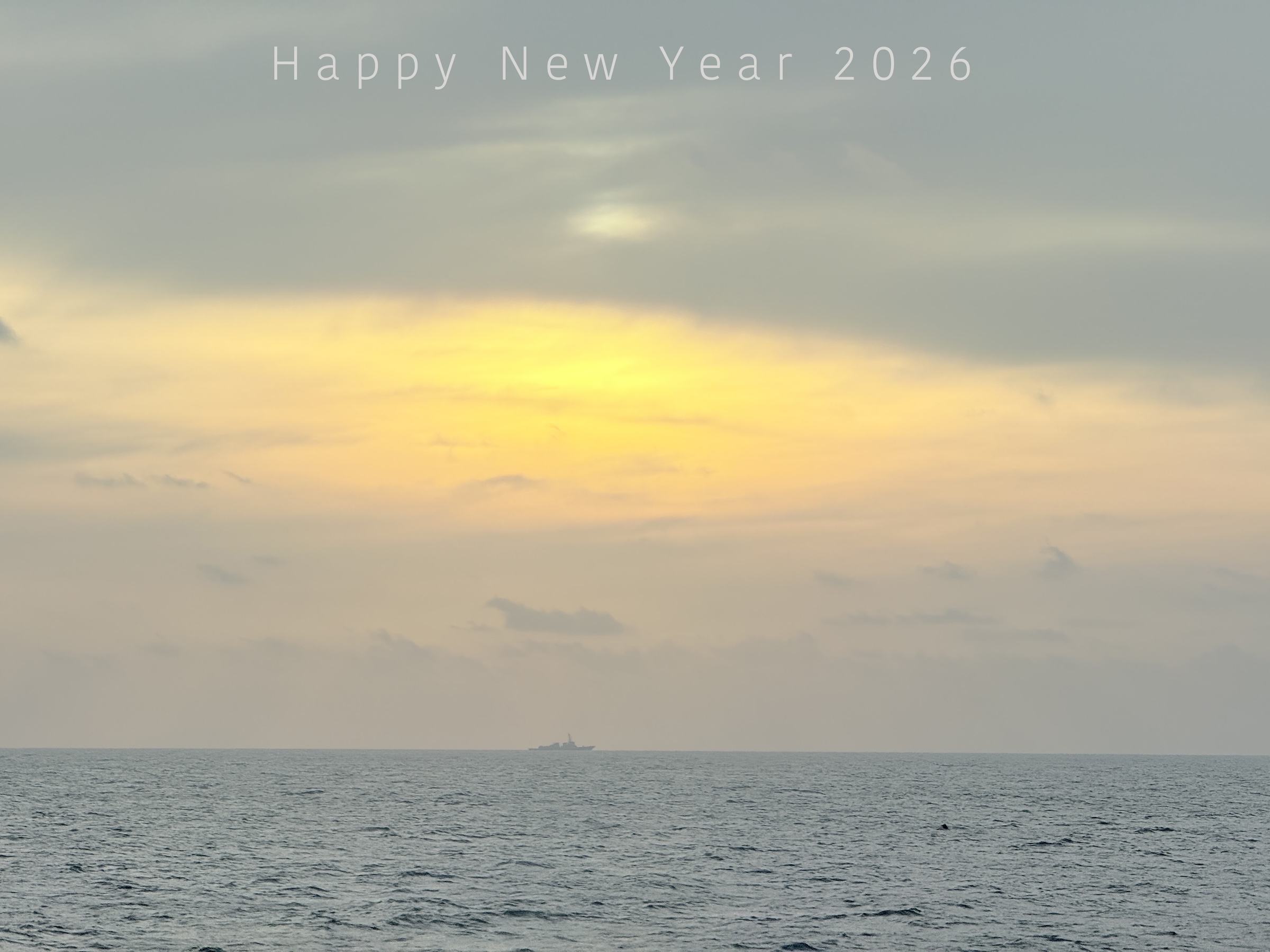
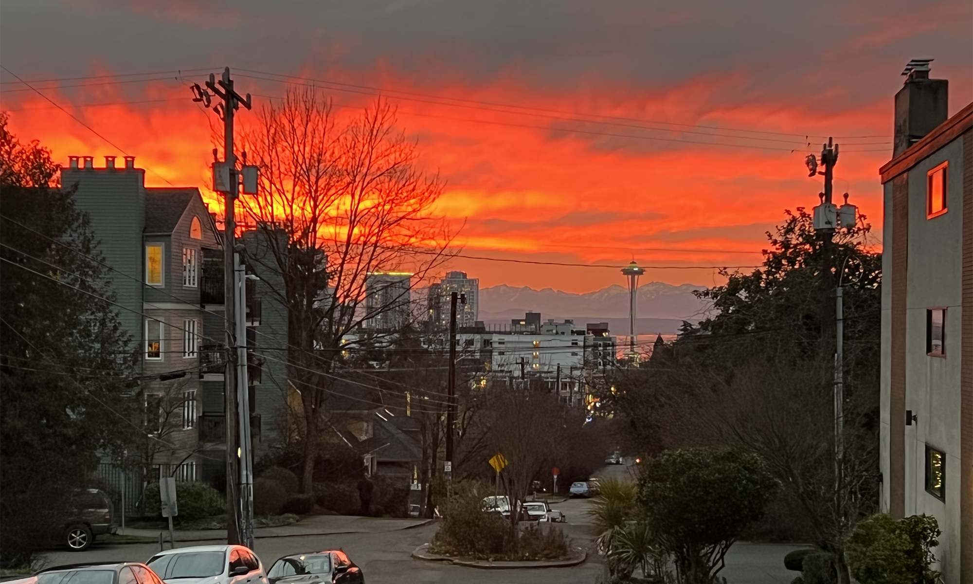
The sun is setting on 2025 all over the world, and here comes 2026.
Happy New Year.
a weblog of whereabouts & interests, since 2010
The sun is setting on 2025 all over the world, and here comes 2026.
Happy New Year.
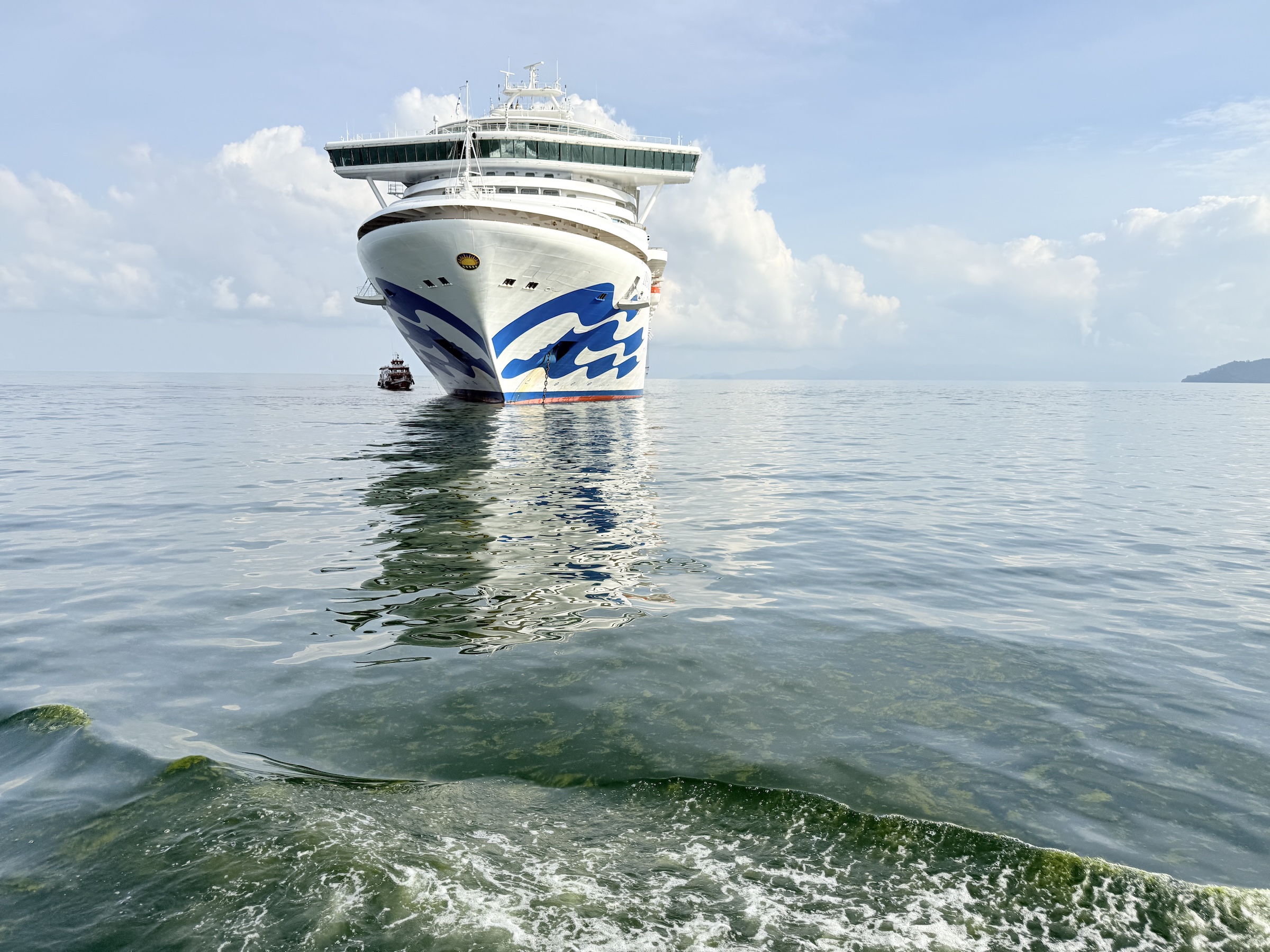
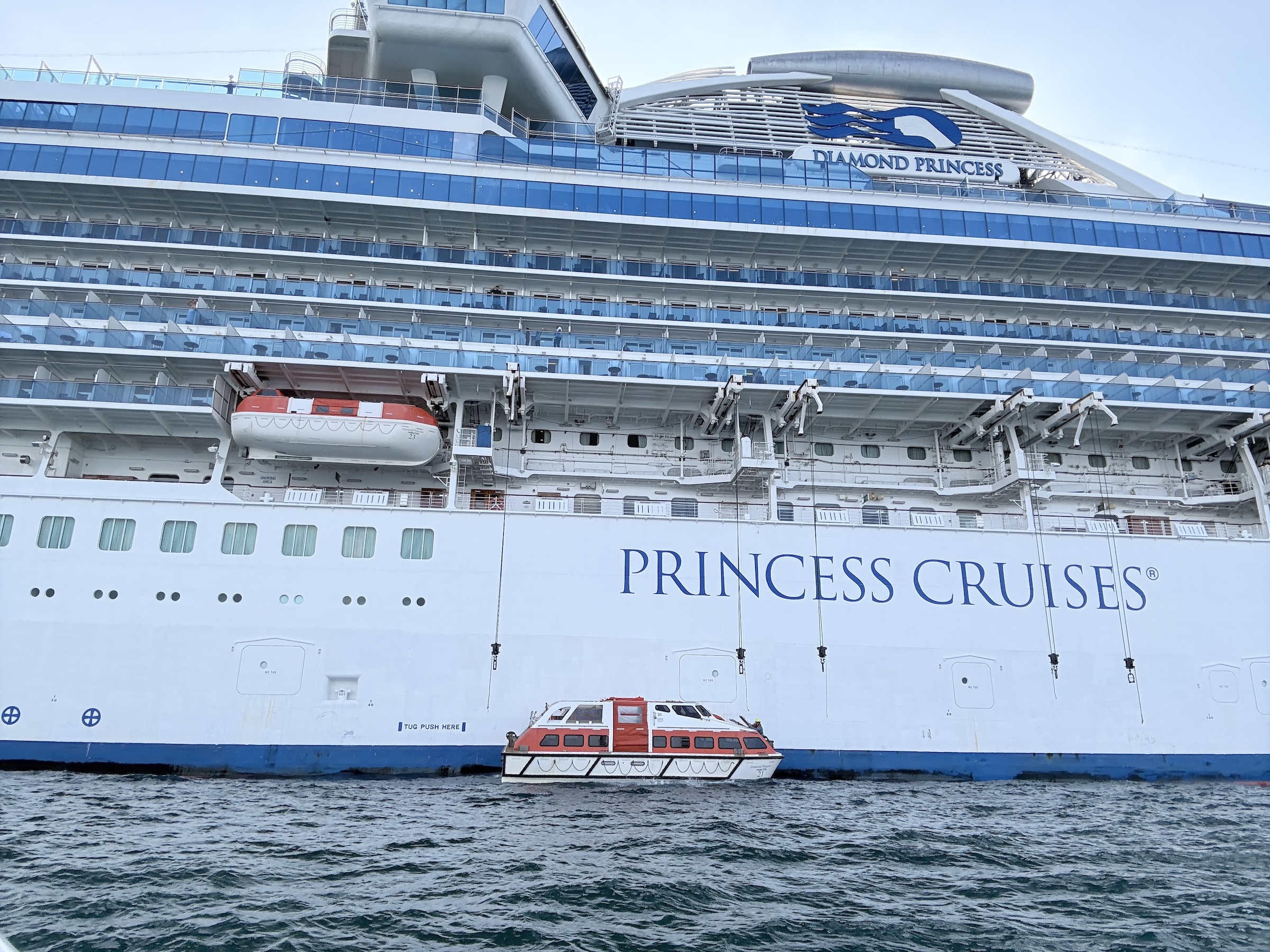
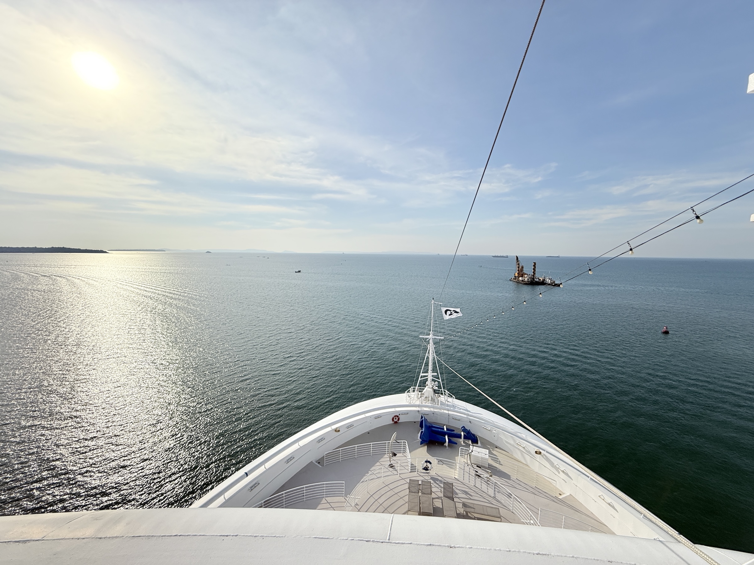
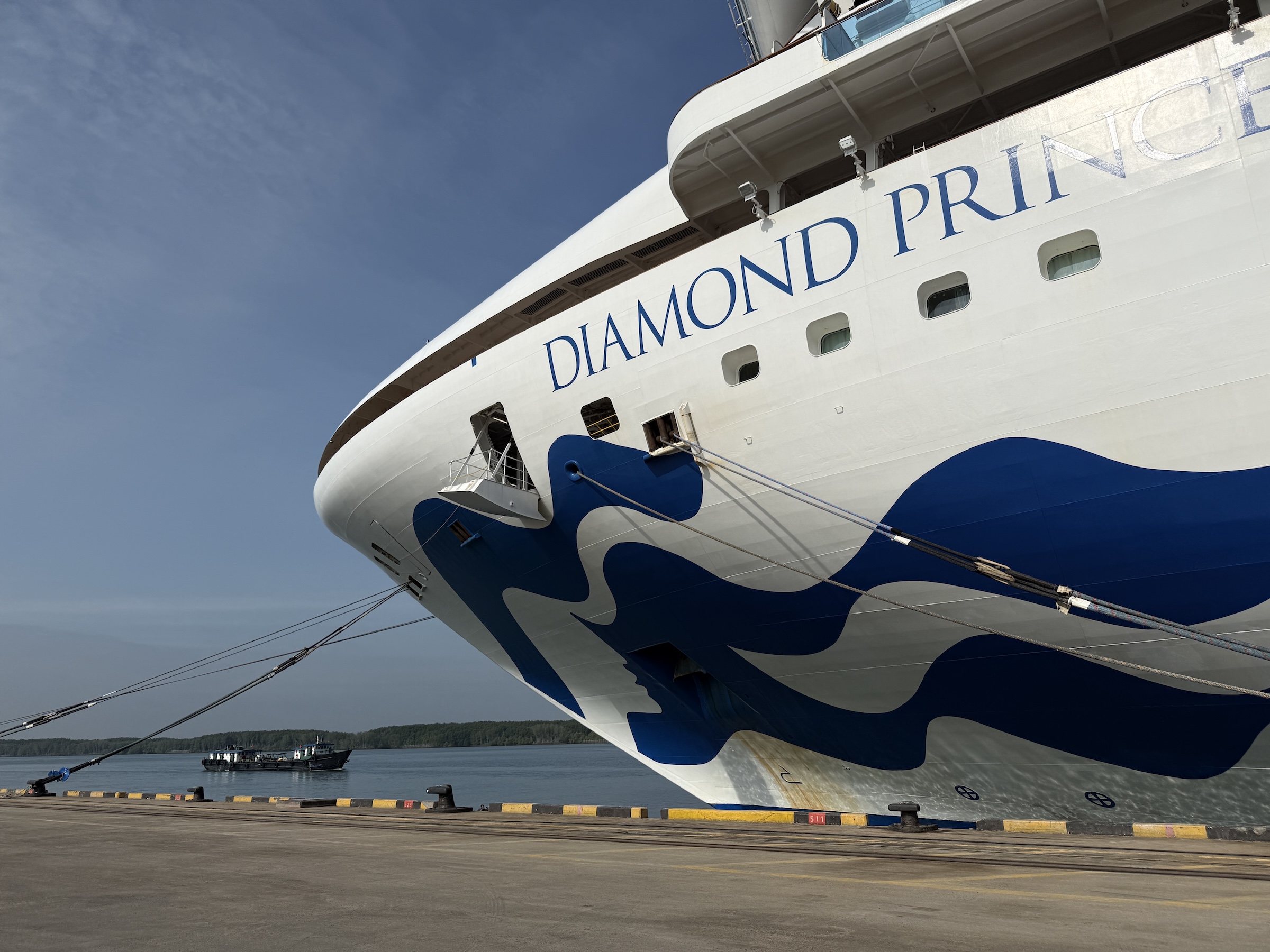
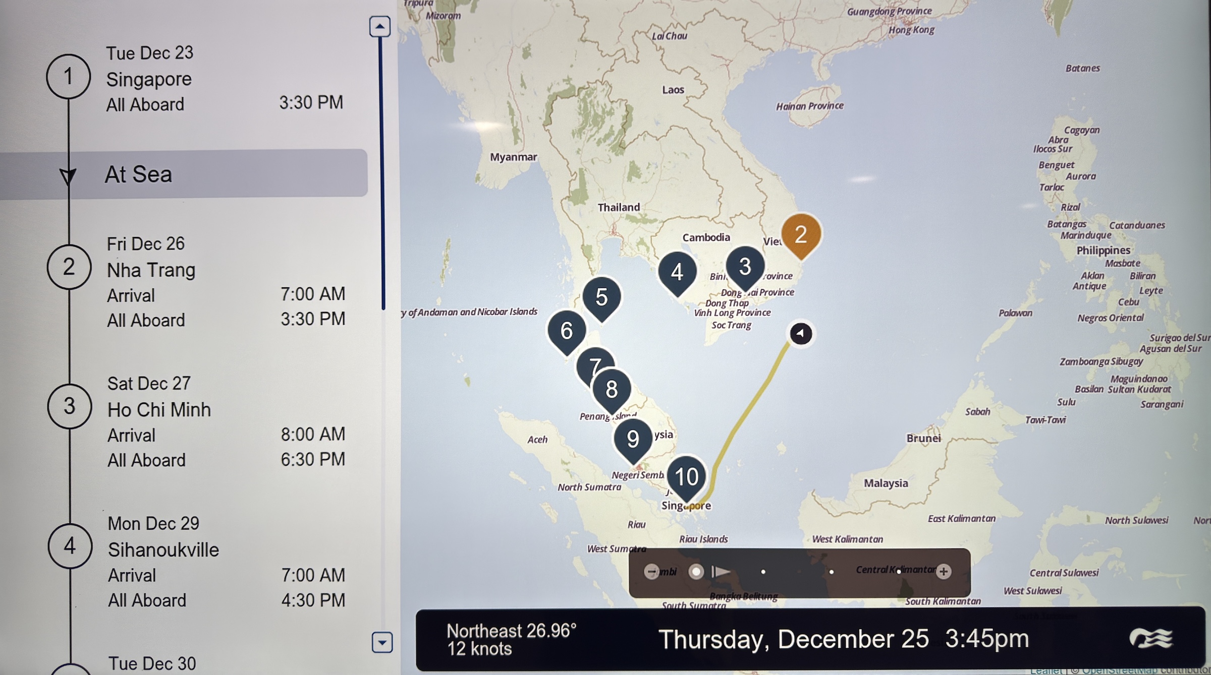
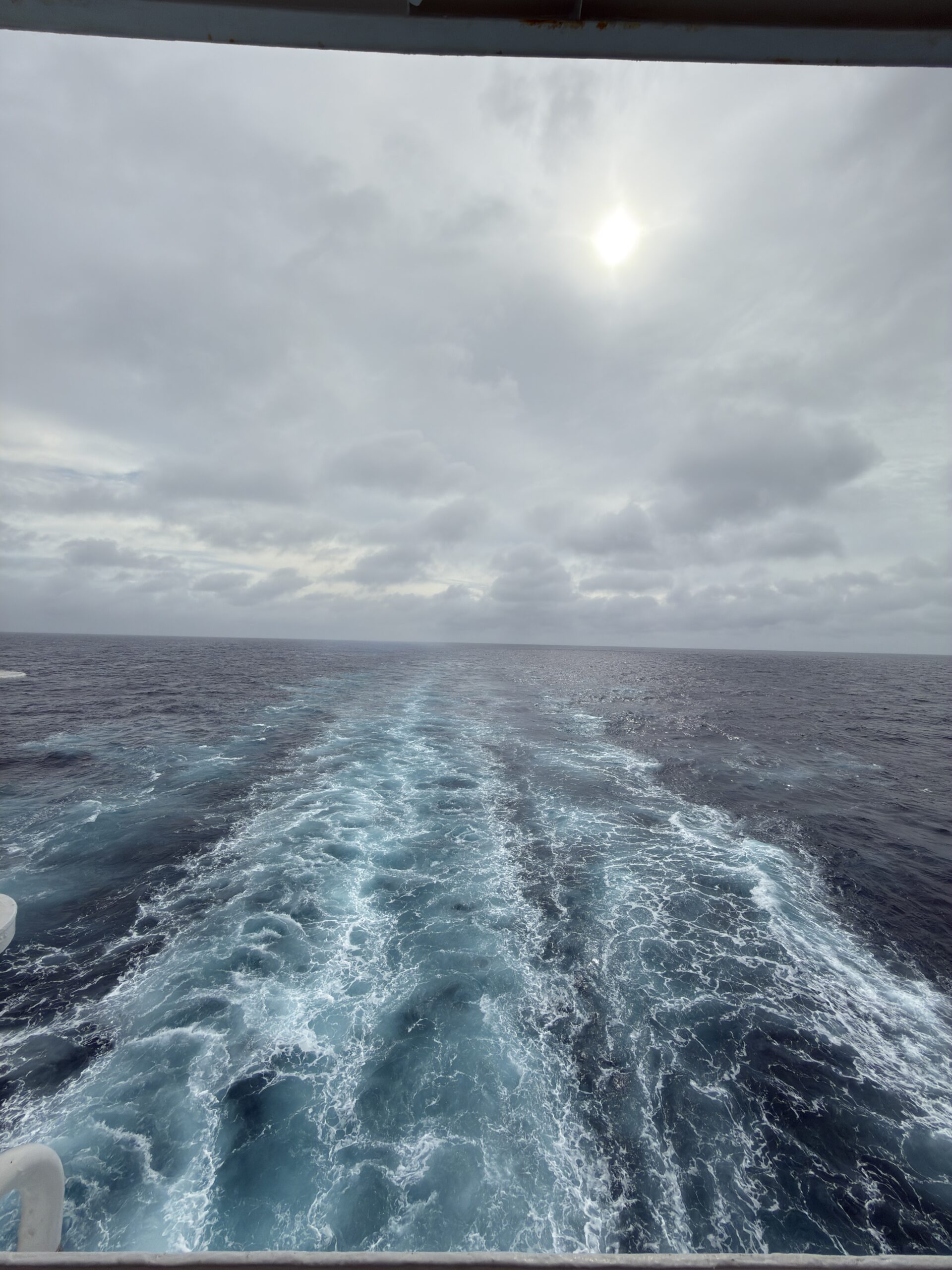
The Diamond Princess is making her way back to the Singapore Strait, to reach the island of Phuket on the west side of the Malay Peninsula by Friday morning.
I saw on the board today that we were moving at a good clip— 21 knots (about 24 mph).
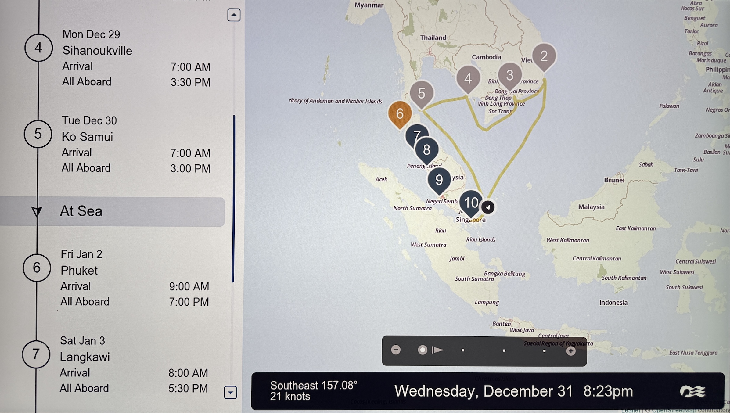
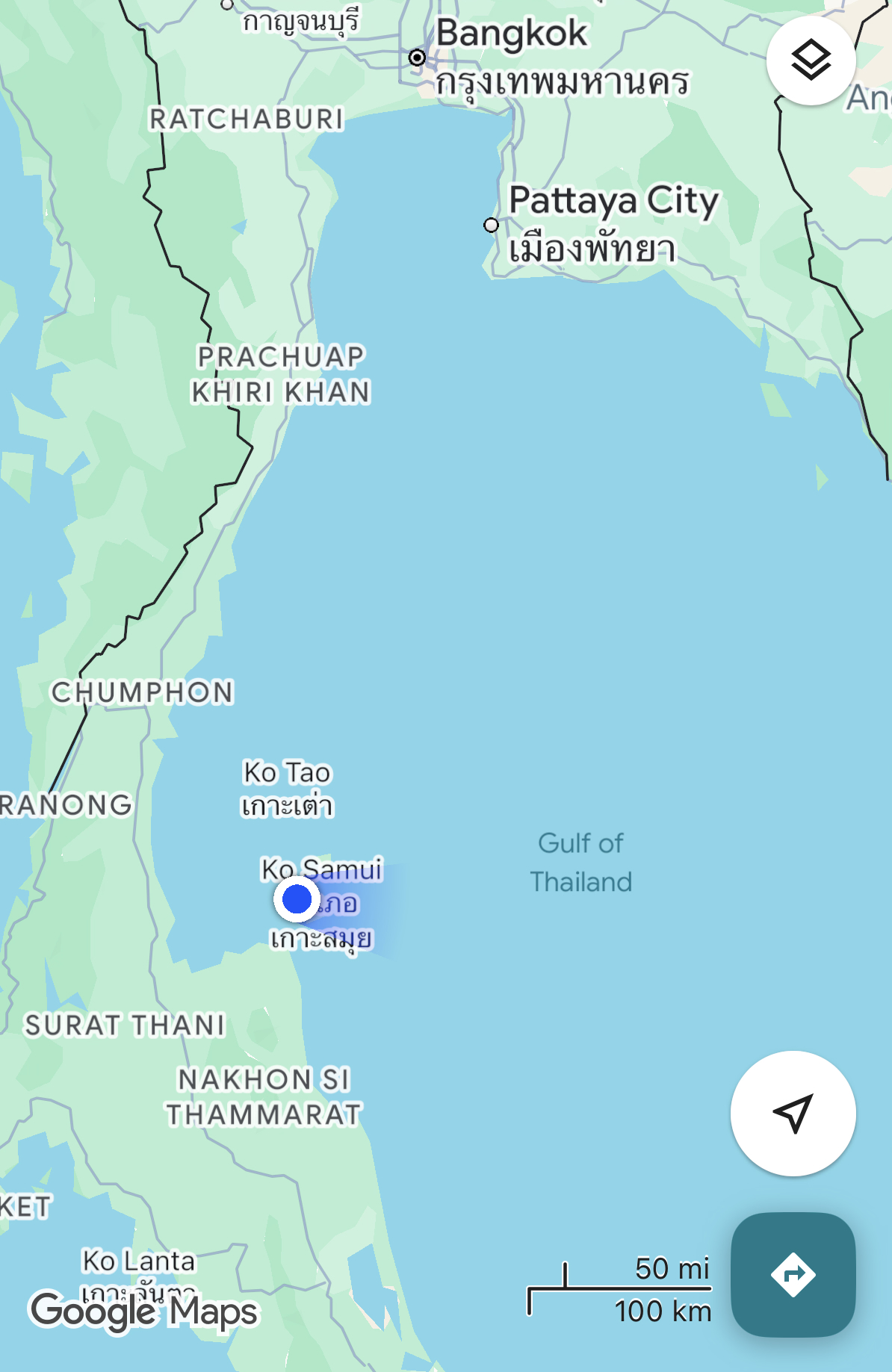
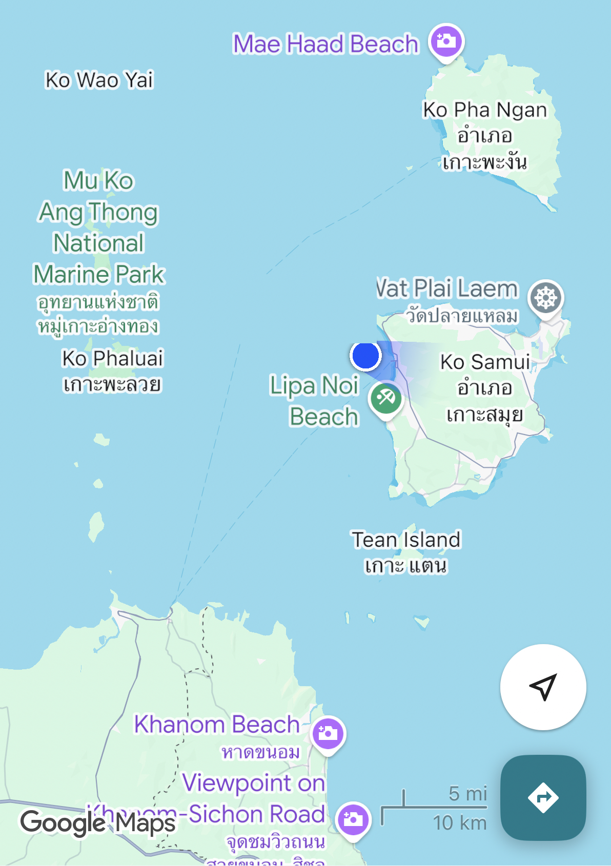
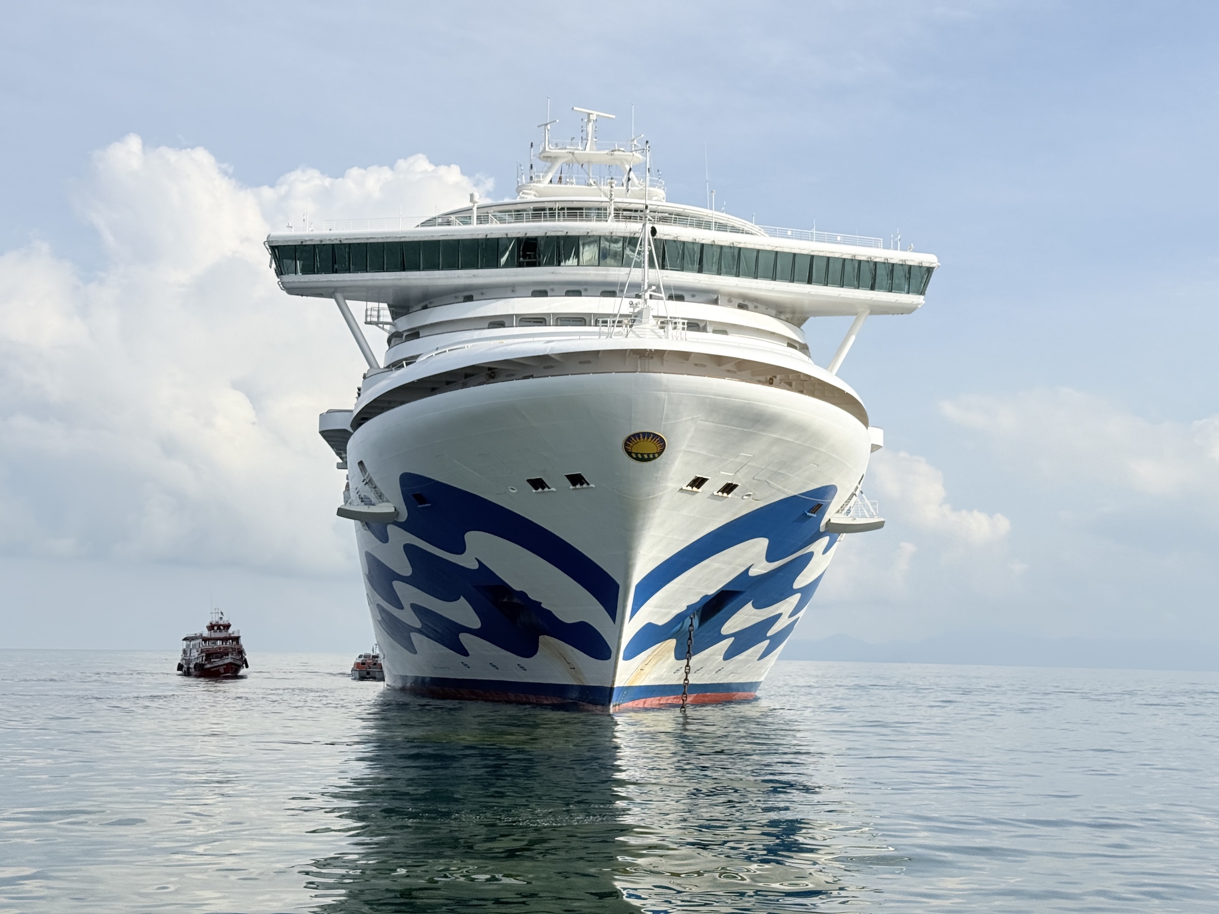
The Diamond Princess arrived at Koh Samui in the Gulf of Thailand on Tuesday morning. (Koh Samui is Thailand’s second largest island, after Phuket. )
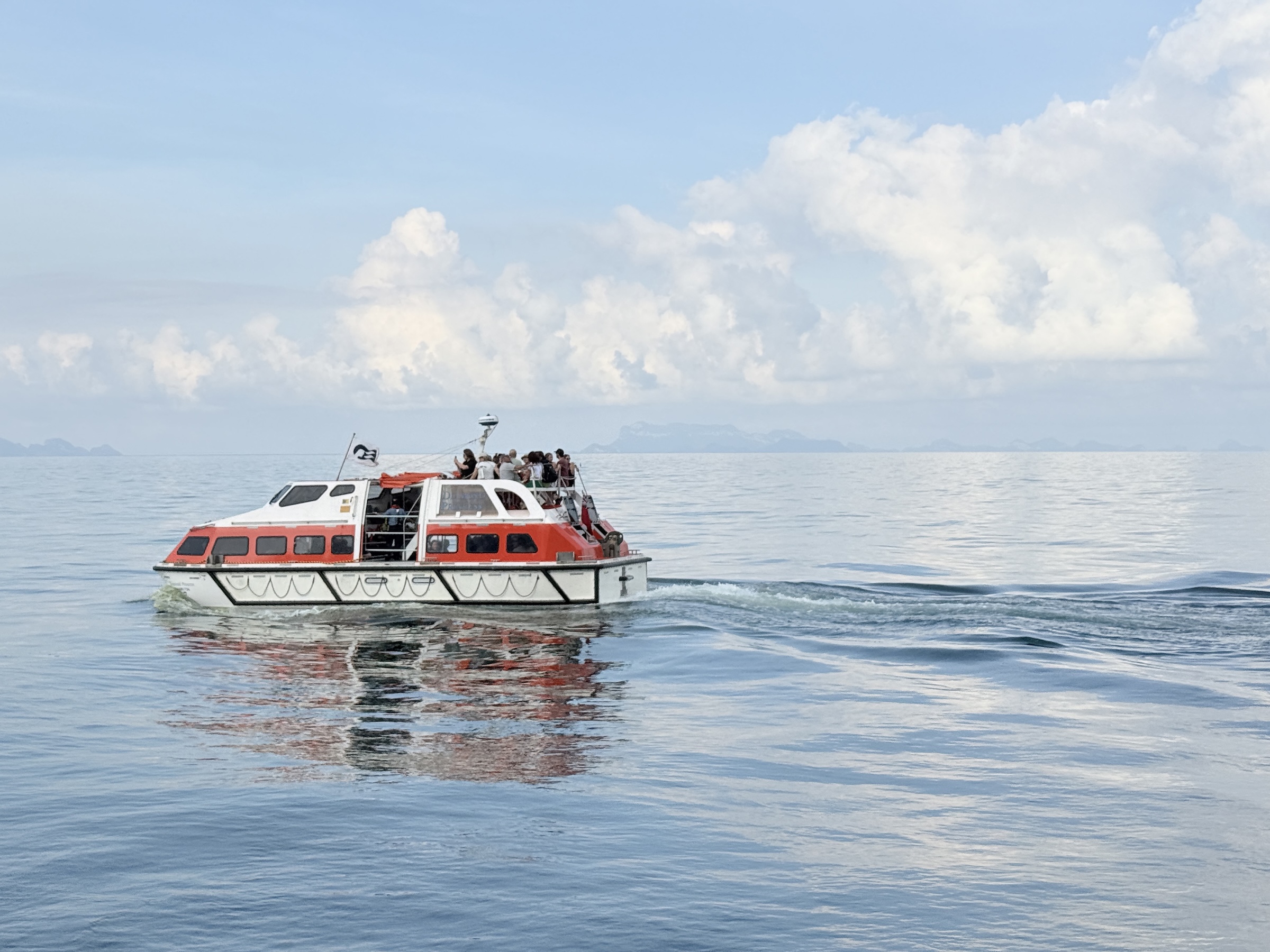
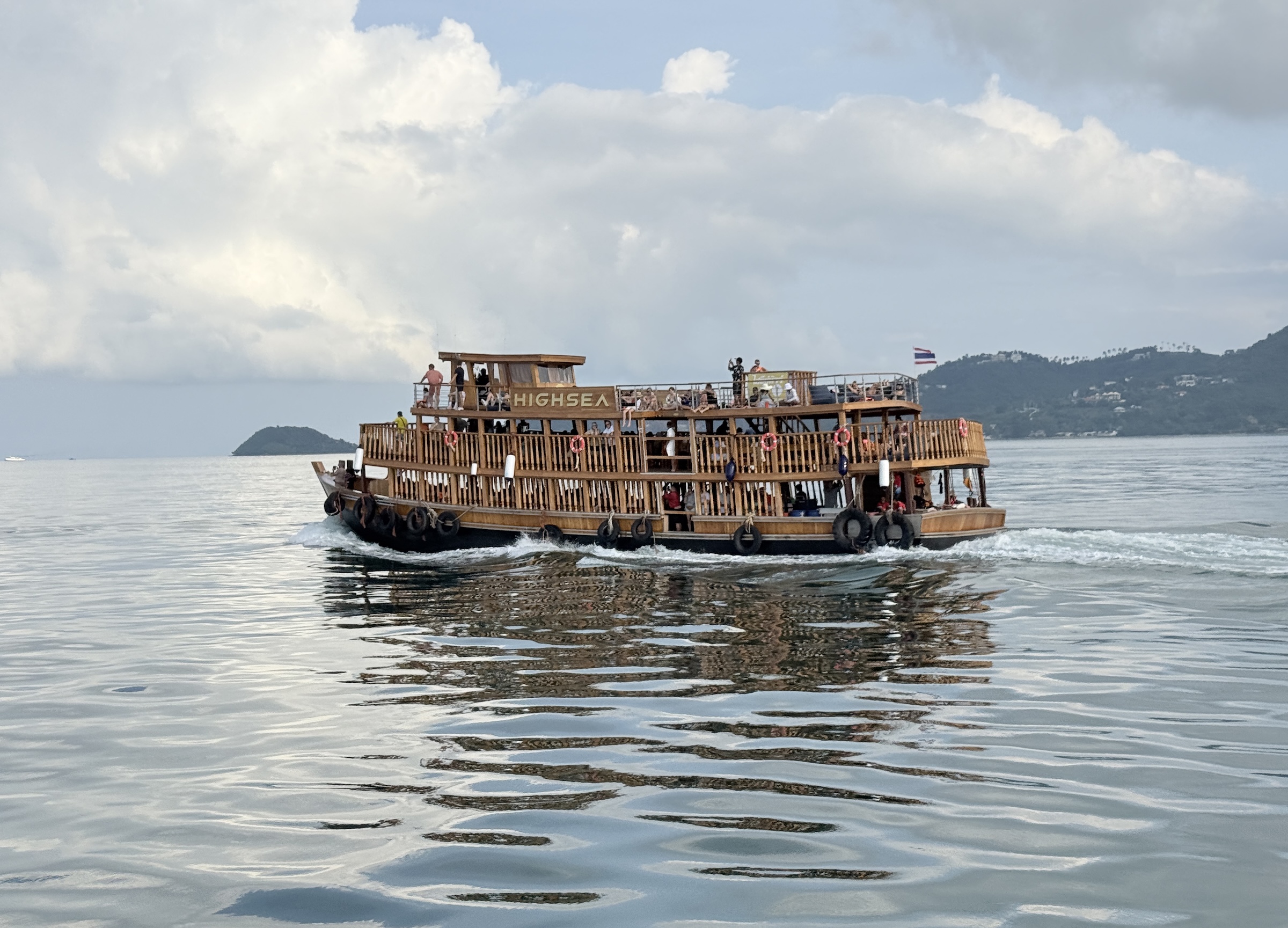
There is no deepwater port at Koh Samui and we were taken ashore and back to the ship by tender boat. (The wooden boat is from a private tender operator.)
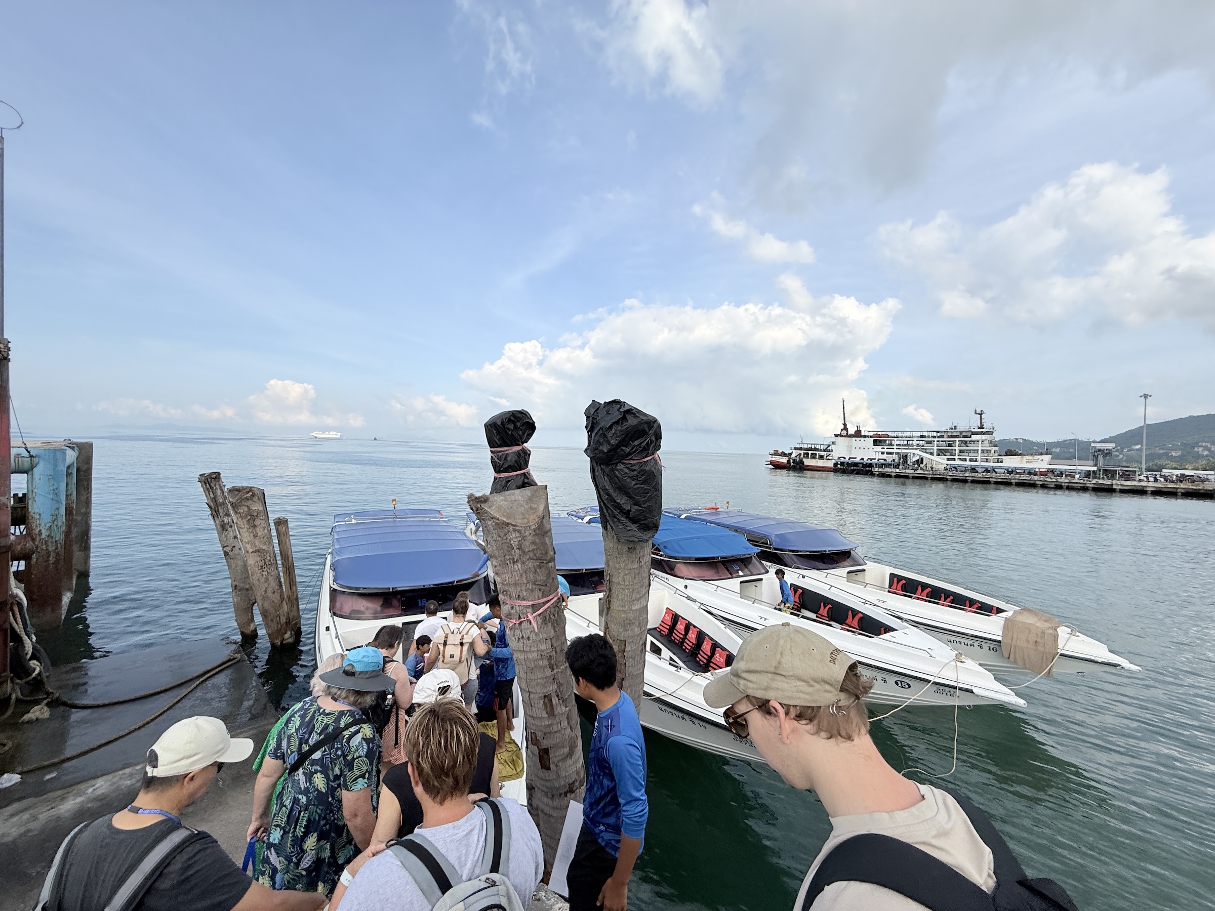
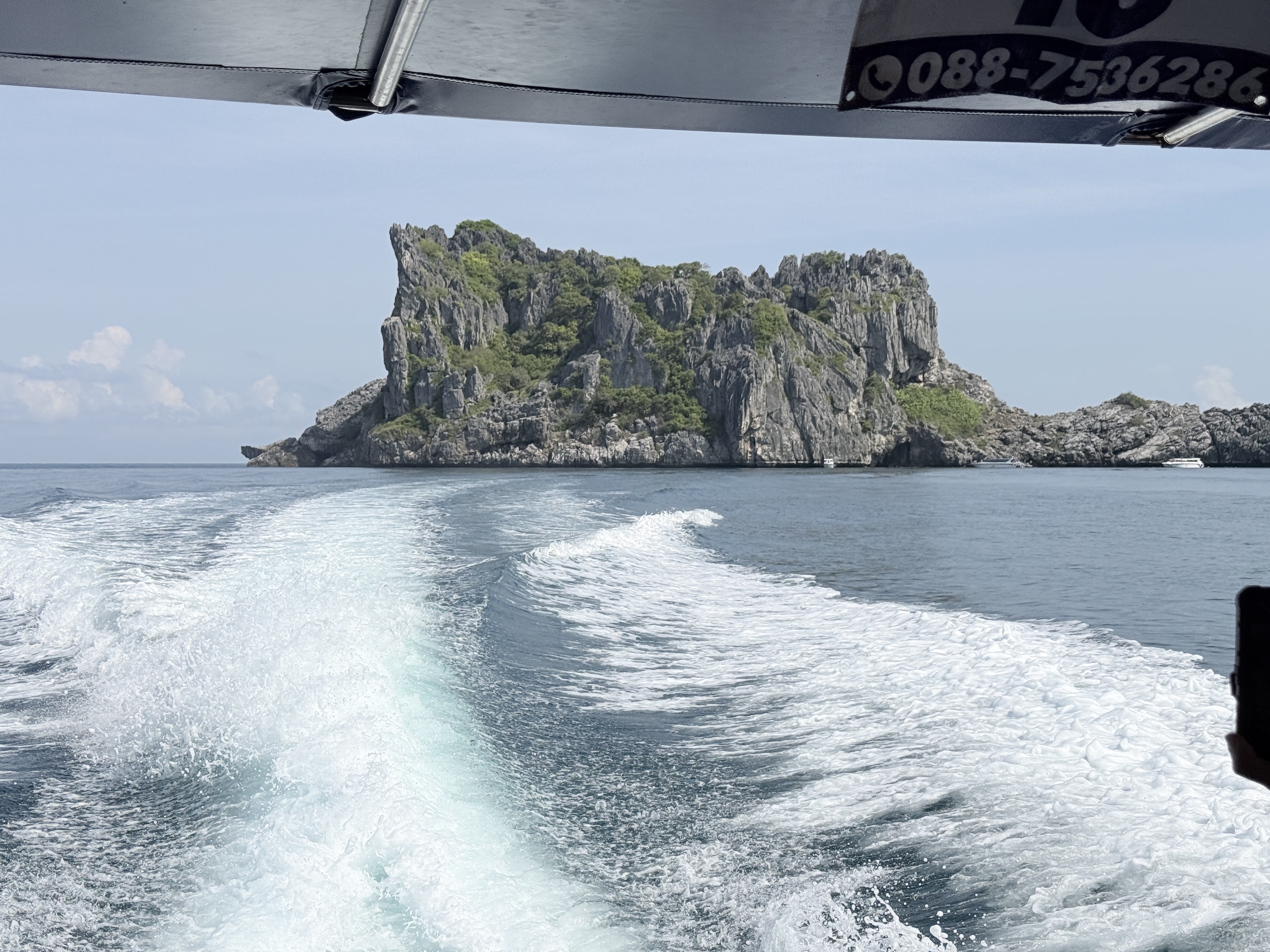
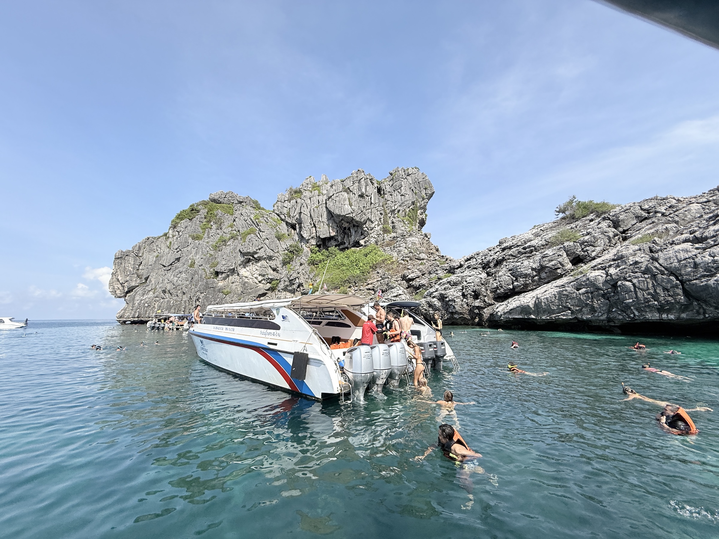
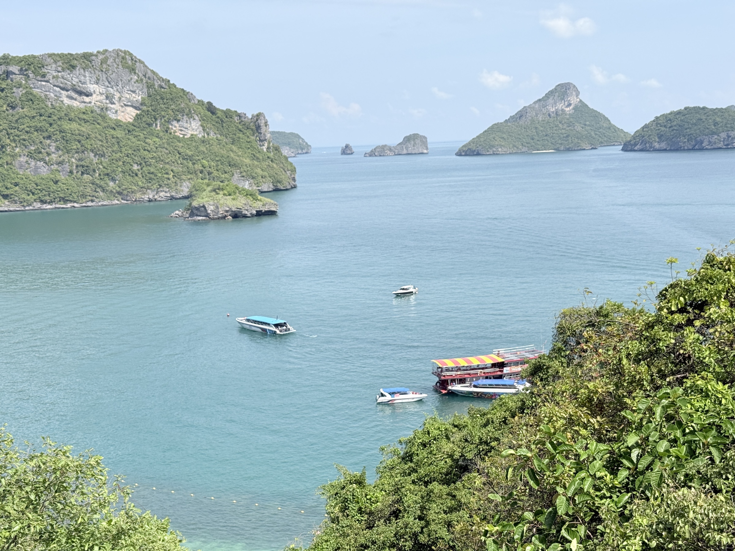
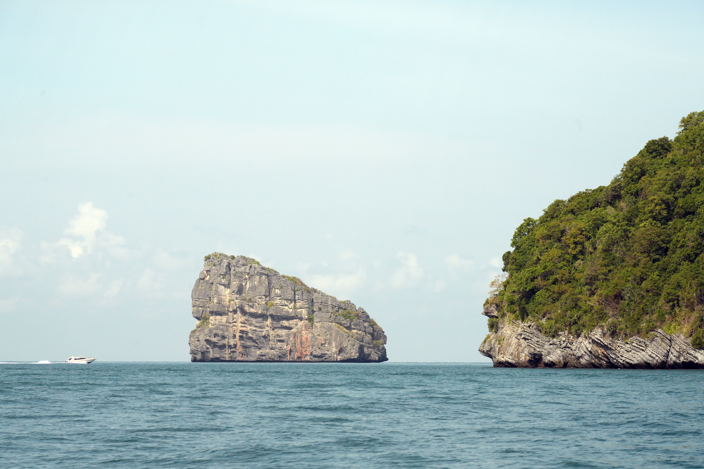
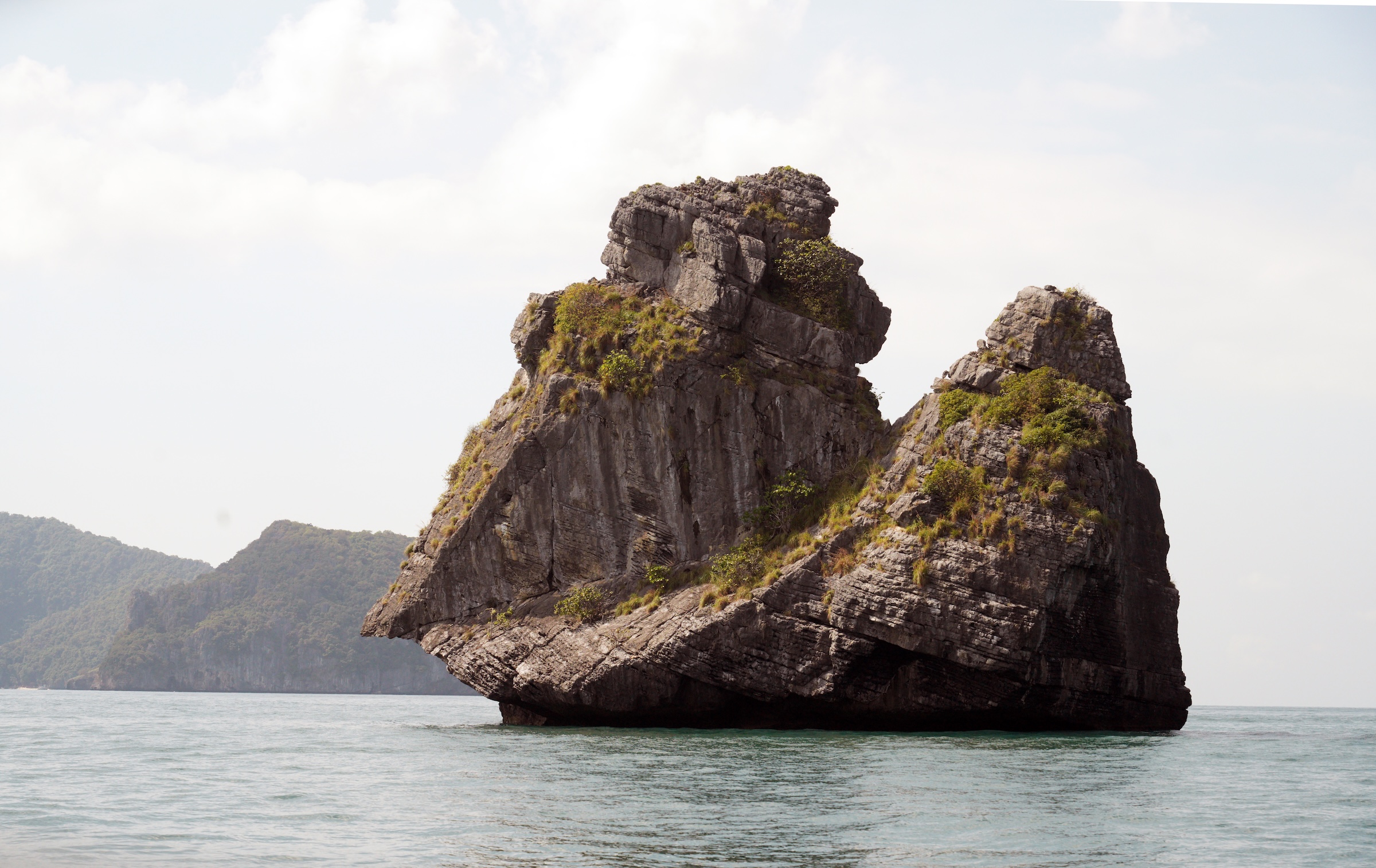
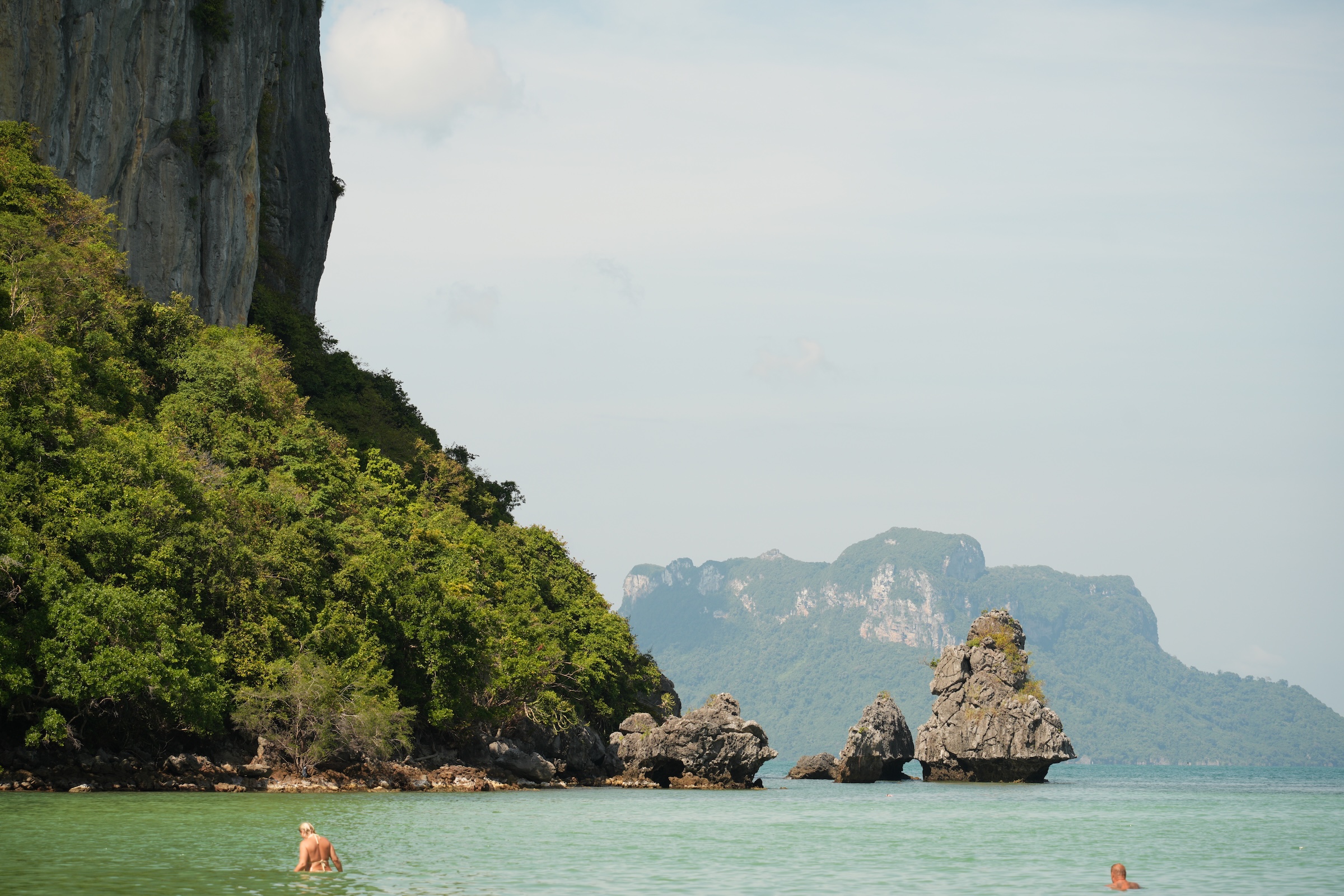
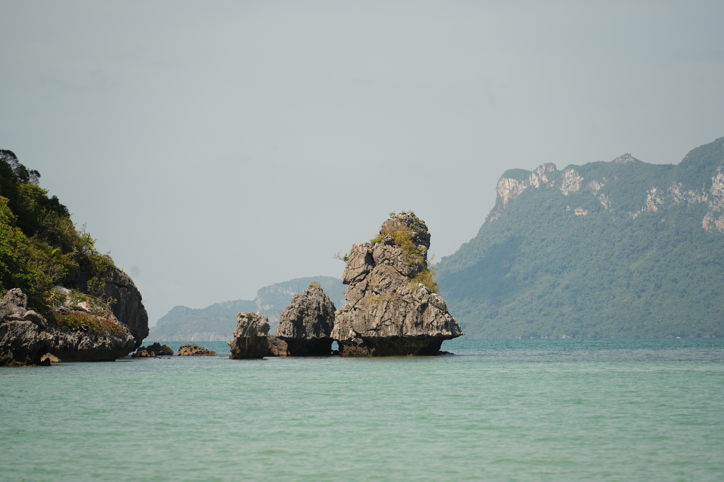
From the shore we went to the islands in Angthong Marine National Park by speedboat.
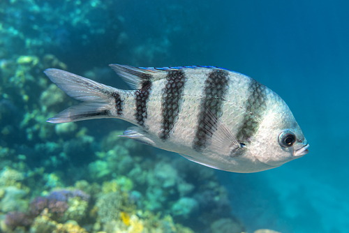
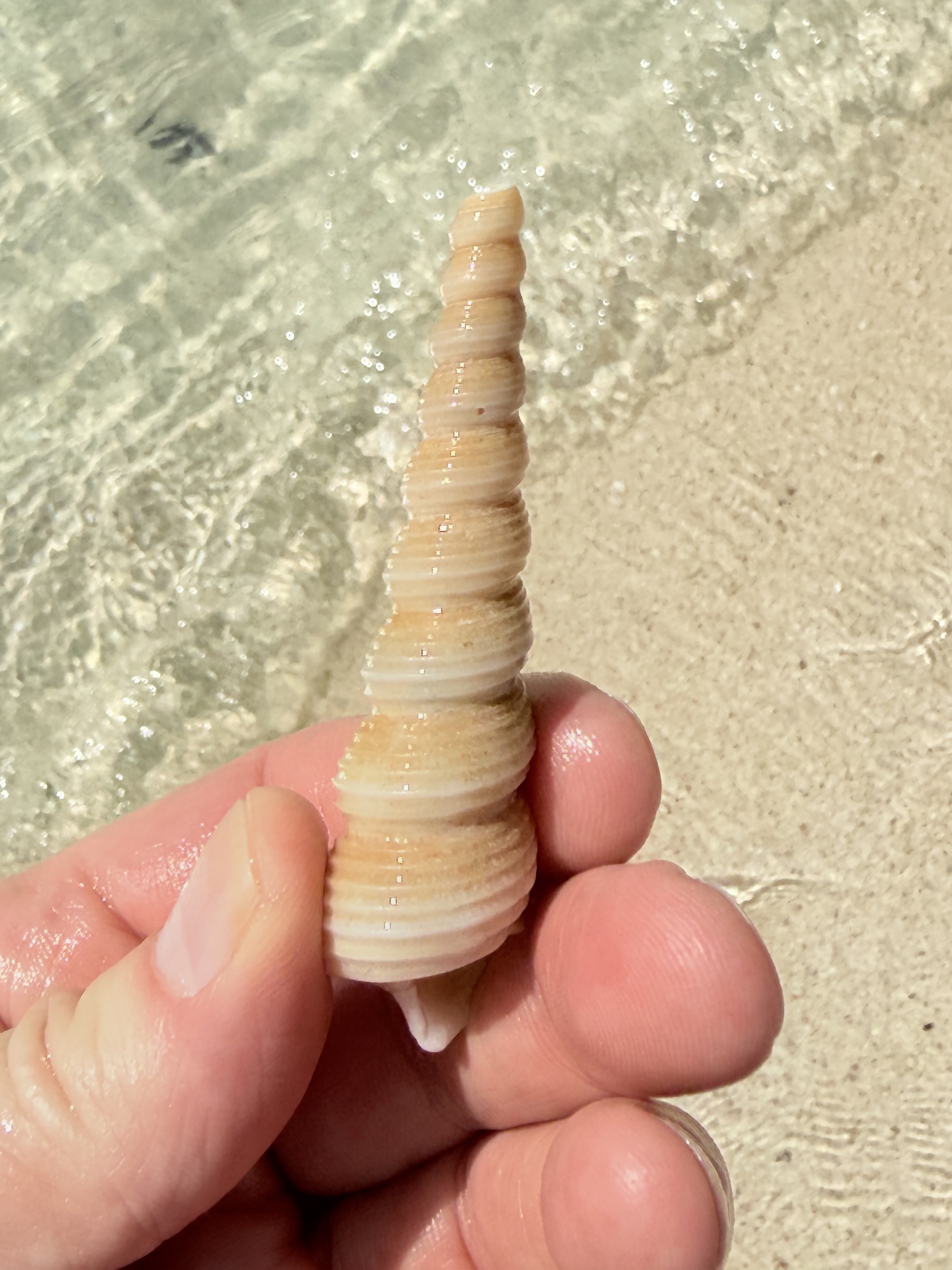
The first stop was for a little snorkeling.
I did not bring my underwater camera— I don’t have one, actually! 😩— but I looked up some of the tropical fish that I saw in the water, online.
The one in the picture (source: Shutterstock) is a sergeant major or píntano (Abudefduf saxatilis).
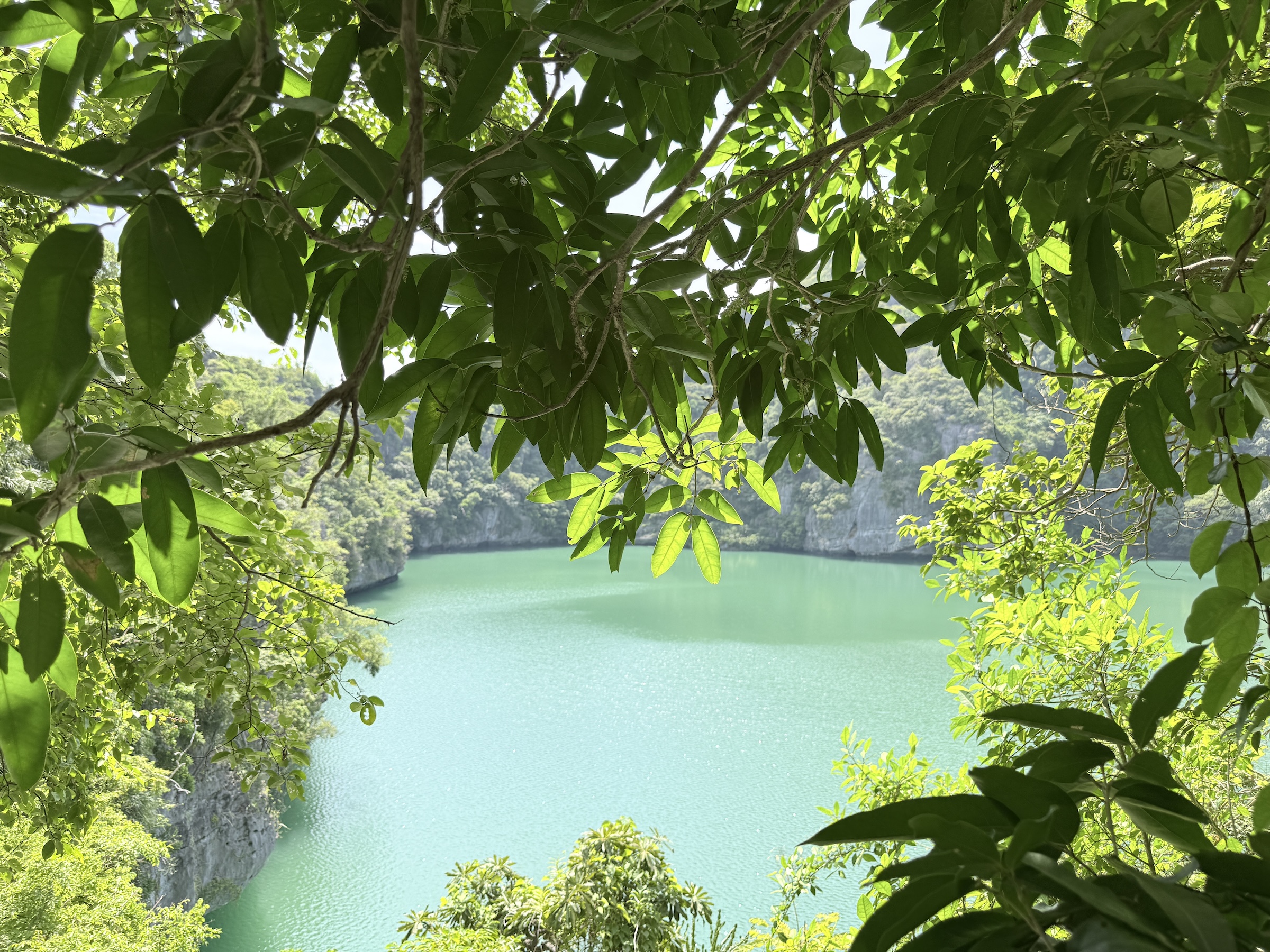
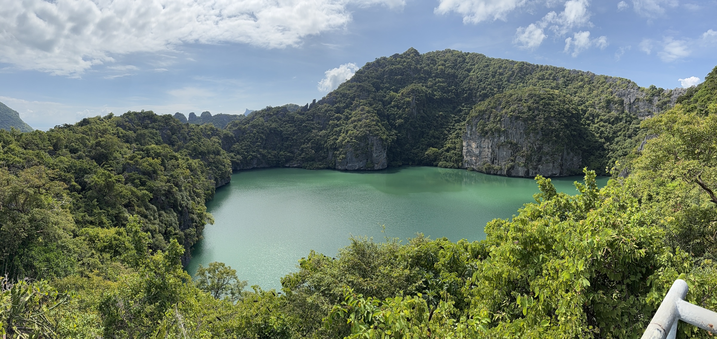
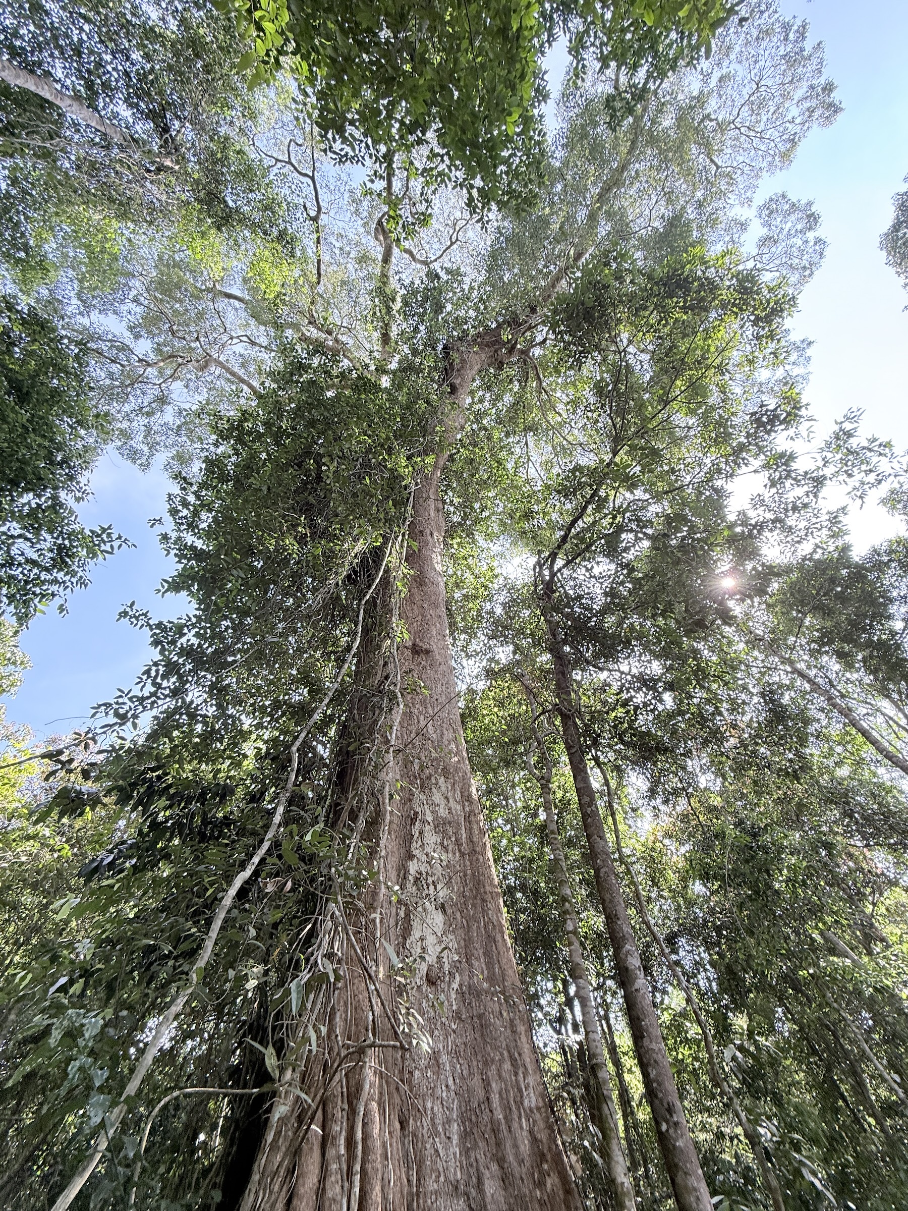
The stop at Ko Mae Ko Island was for a very steep staircase climb up to the island’s main attraction: Emerald Lake. The lake is surrounded by a tropical rainforest and limestone cliffs.
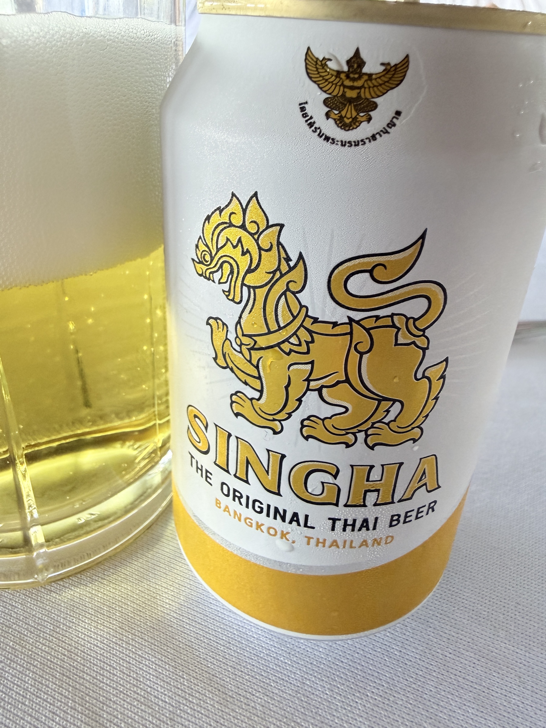
After lunch and a Singha beer on Paluai Island, we checked out Praying Monkey Rock and made one more stop at a beach nearby.
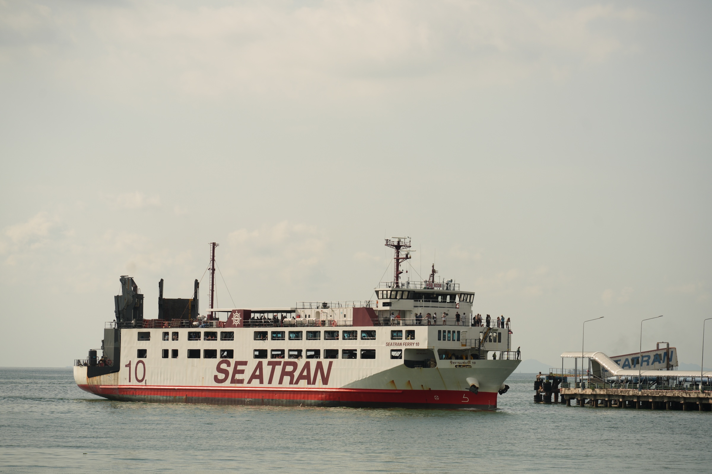
The Seatran ferry goes to Donsak on the Malay peninsula (about 90 mins, US$5 for foot passengers, US$15 for a car).
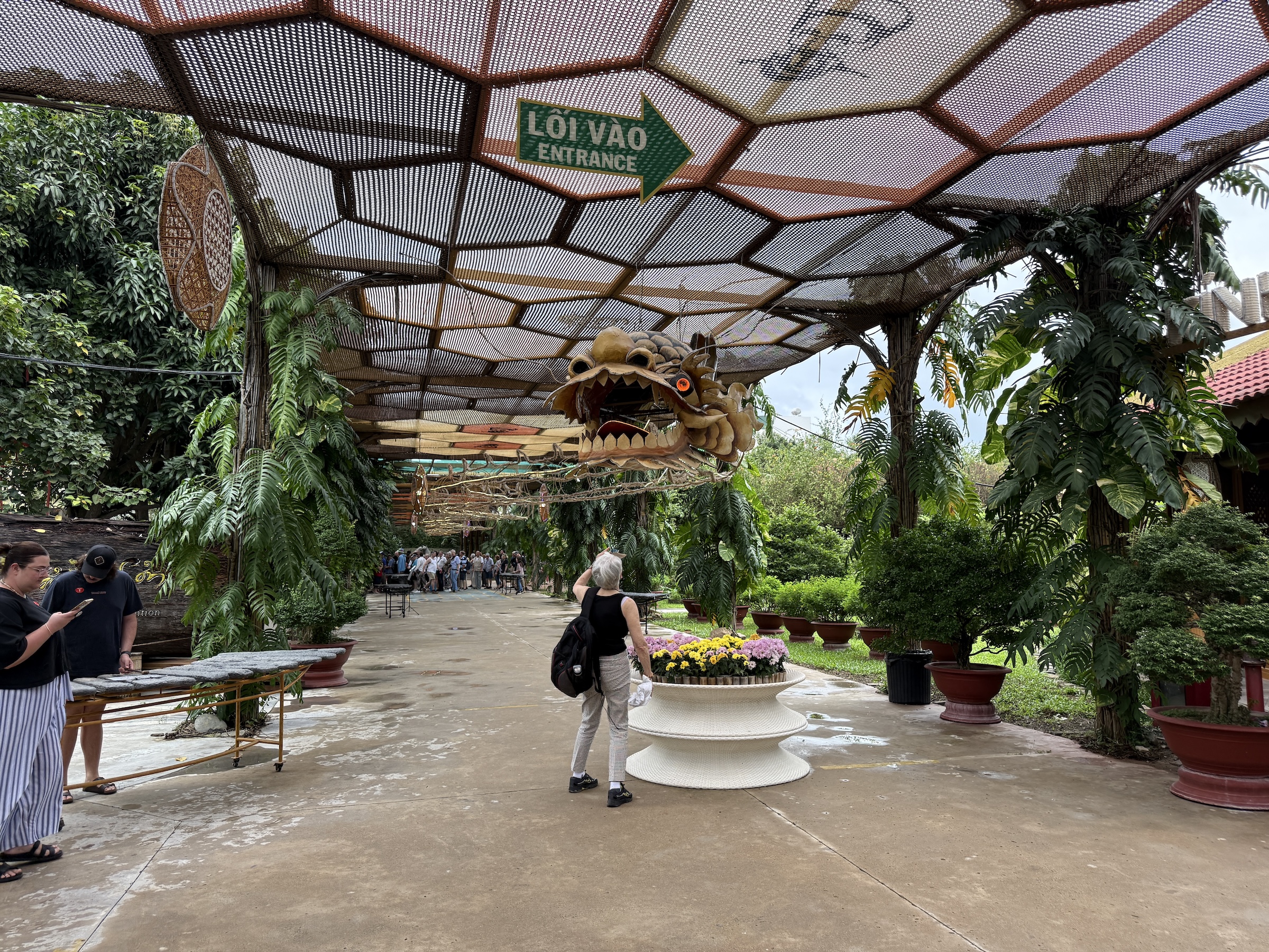
The Diamond Princess arrived at Preah Sihanouk (Sihanoukville) at 7 am this morning.
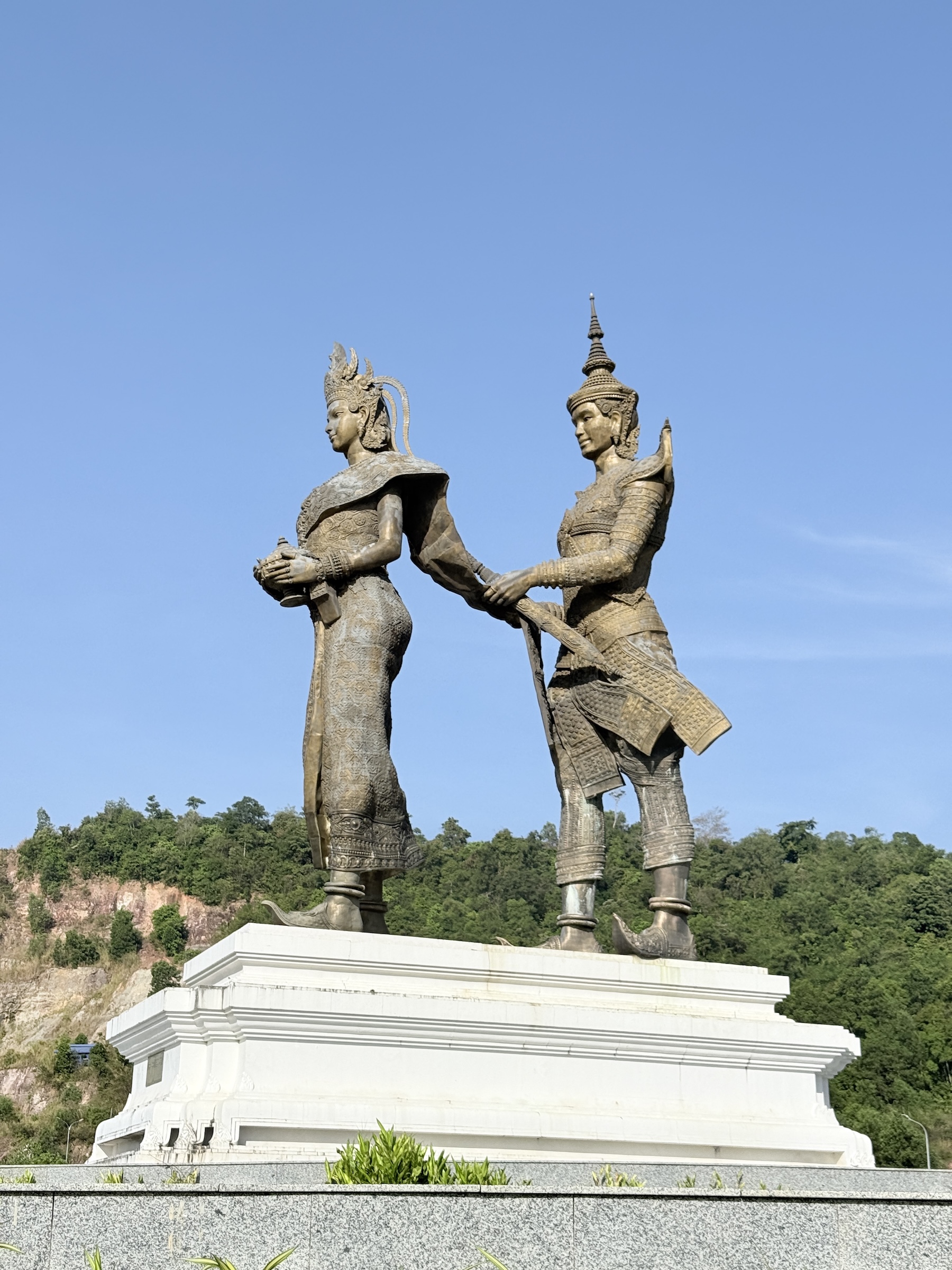
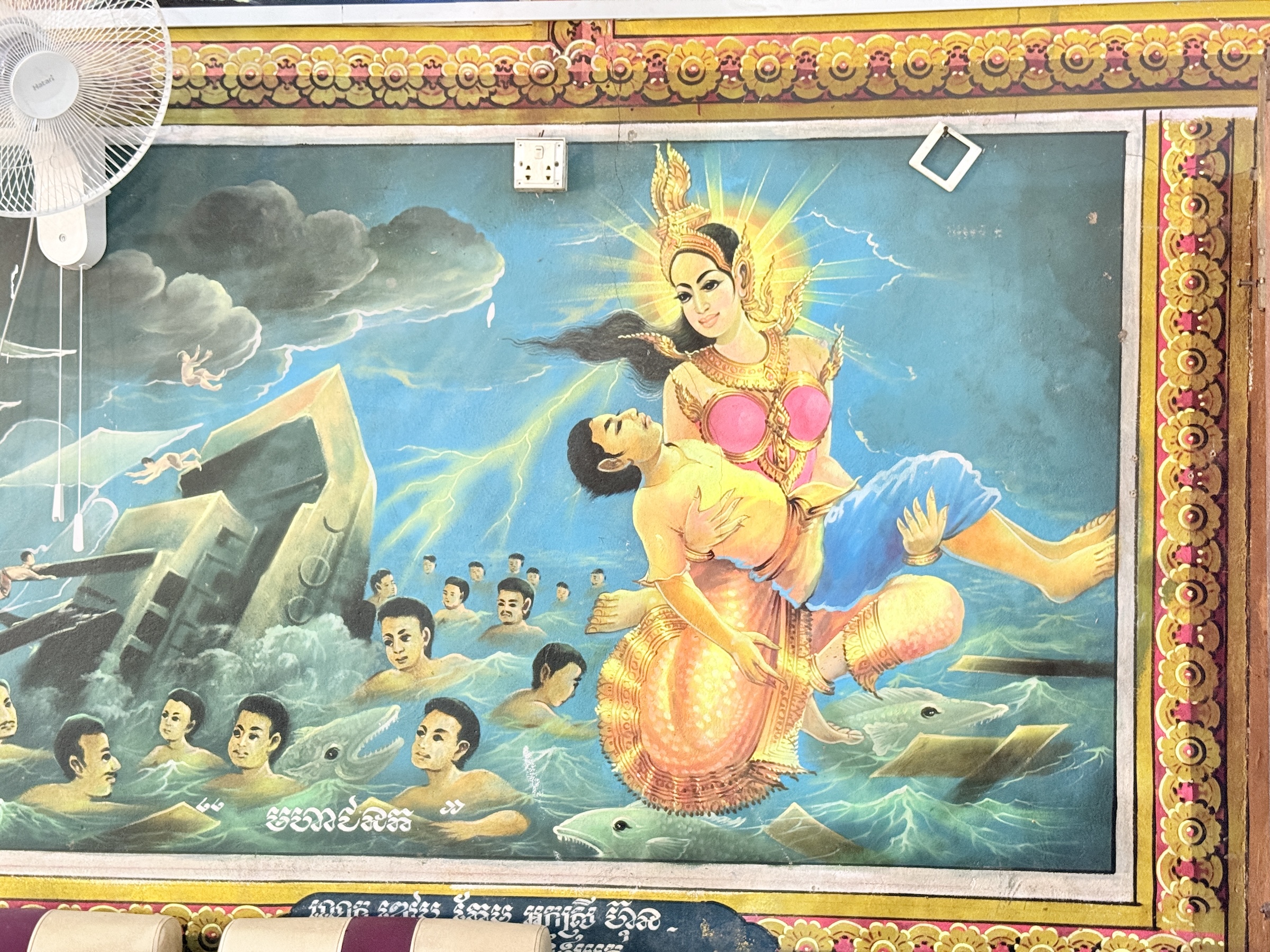
The tour bus that took us to Ream National Park and the beaches on the Gulf of Thailand first made its way through Sihanoukville, with a stop at the ‘love monument’. The love monument is a a massive copper sculpture depicting the legendary Khmer couple Prince Preah Thong and Naga Princess Neang Neak, symbolizing the origin of Khmer civilization and culture, located at a major roundabout facing the sea.
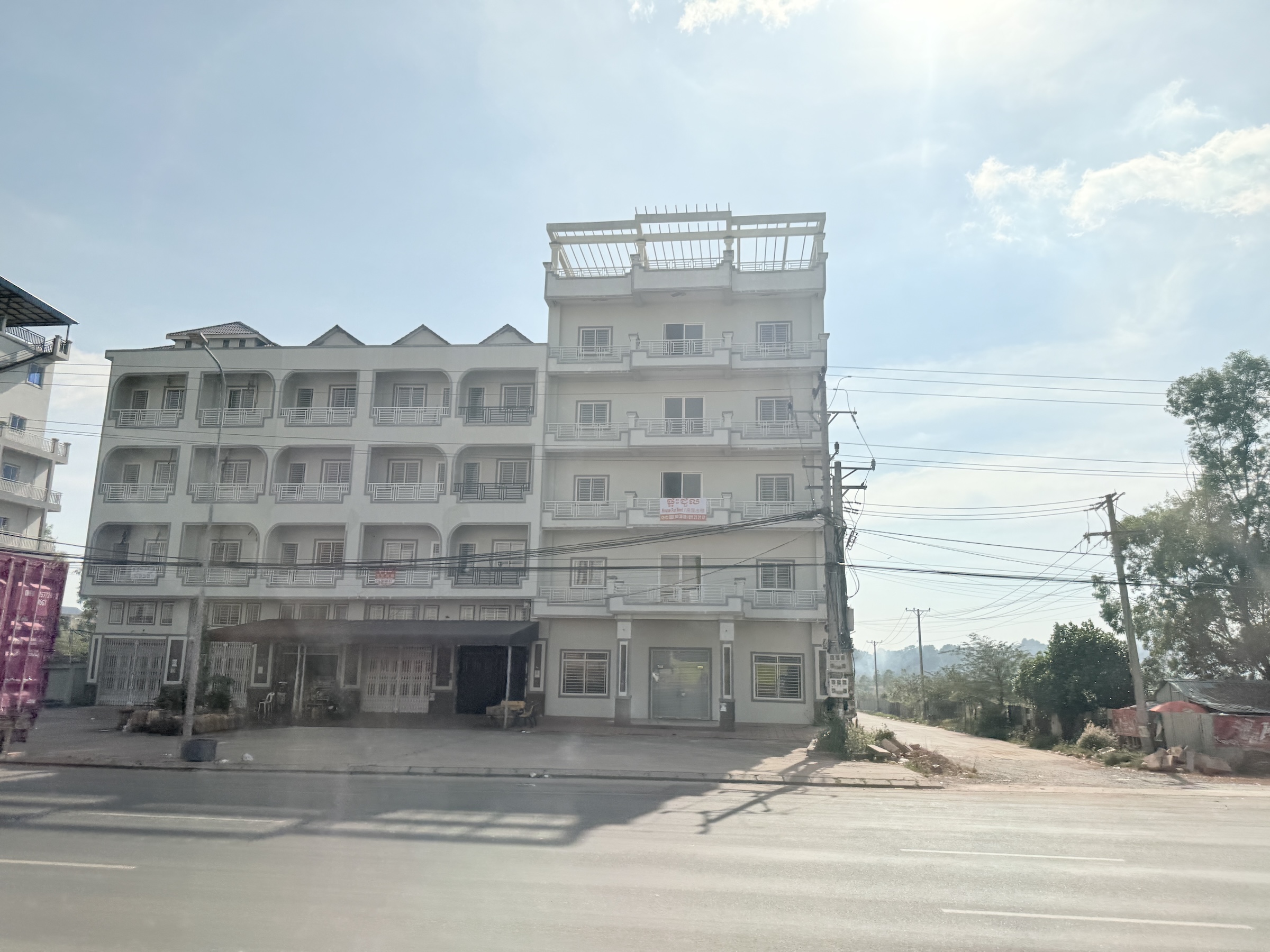
There were a lot of abandoned buildings lining the streets Sihanoukville: many of them projects by Chinese investors and entrepreneurs that were abandoned after the Covid pandemic had forced the stoppage of work on them.
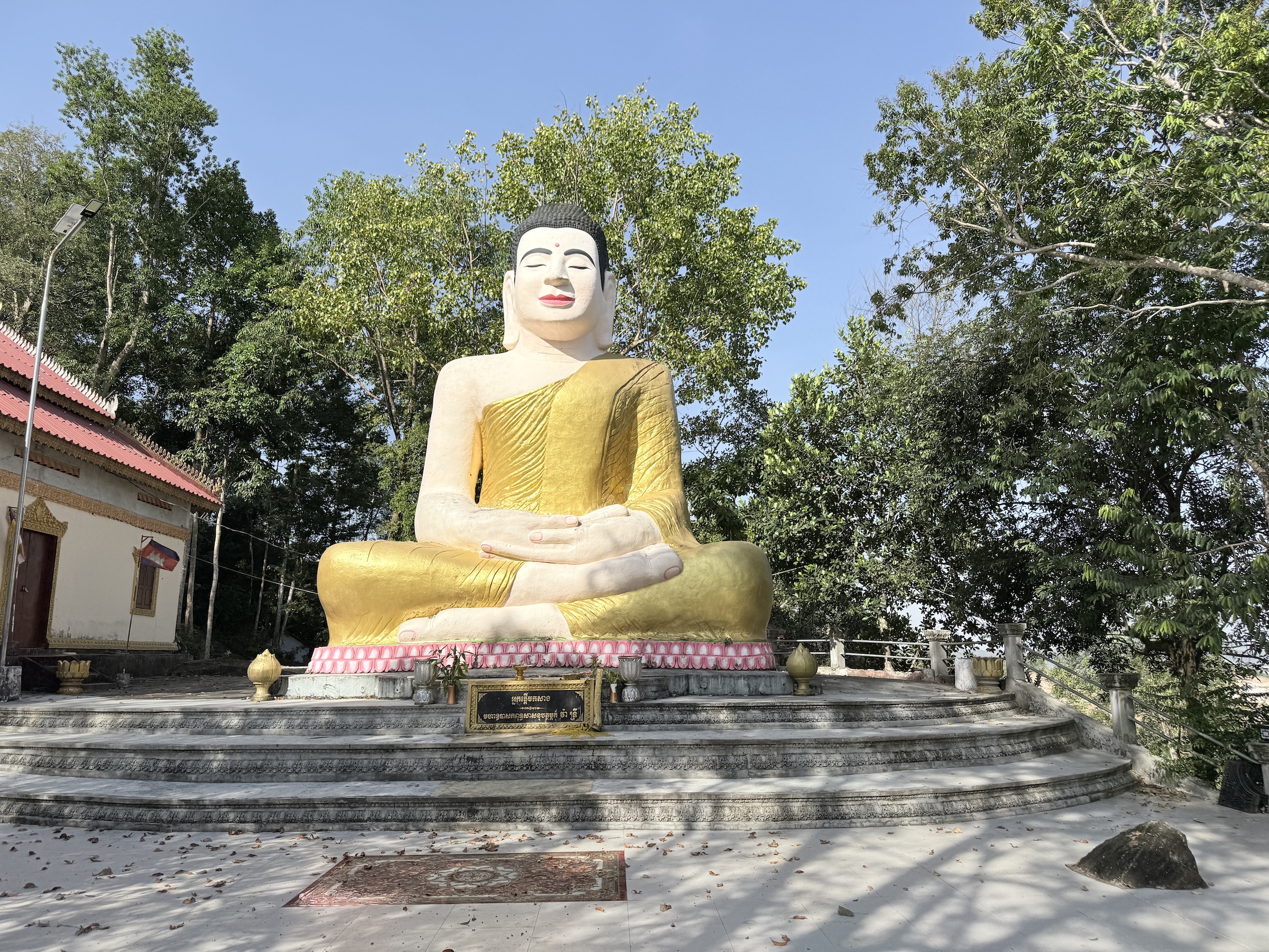
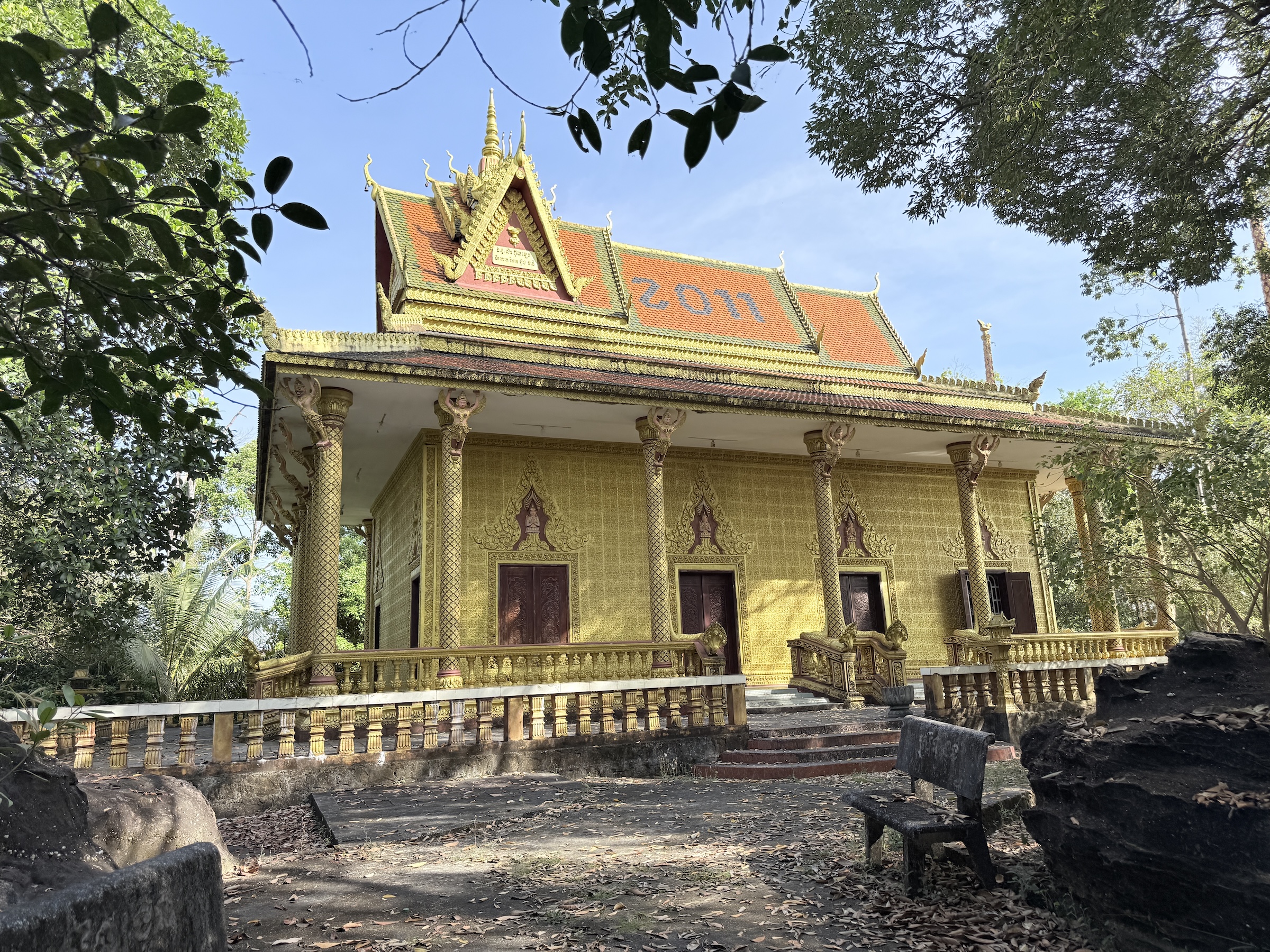
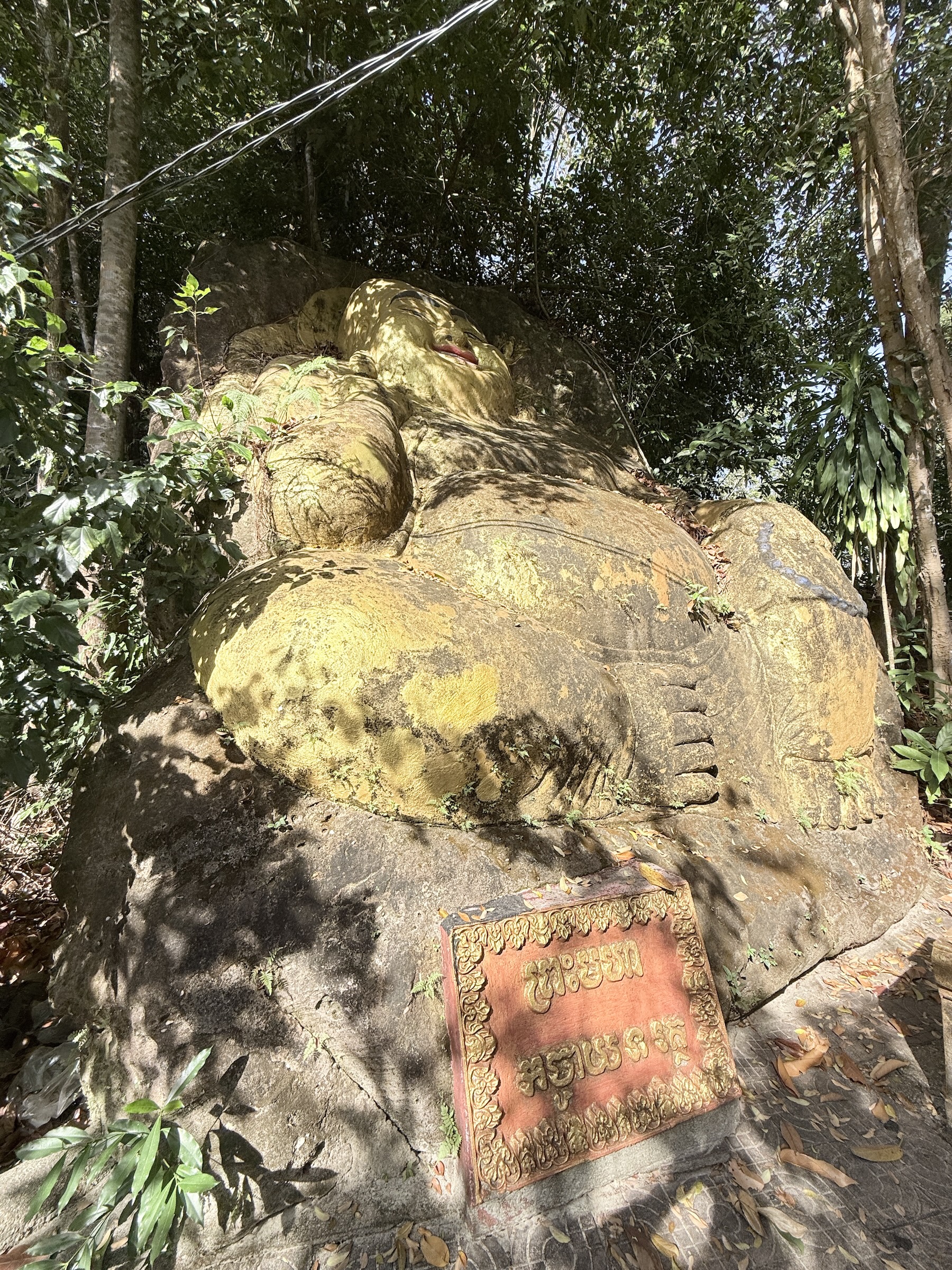
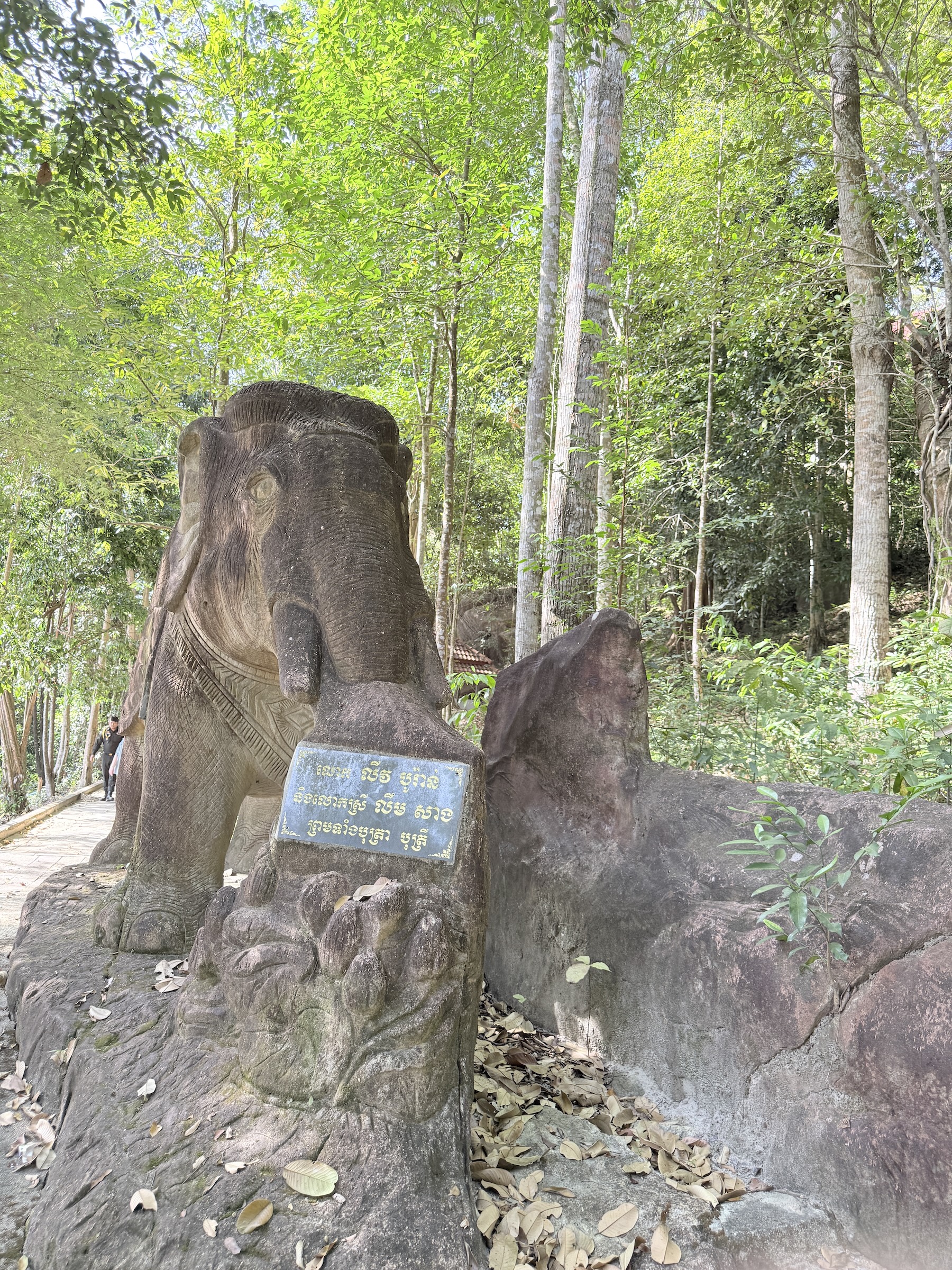
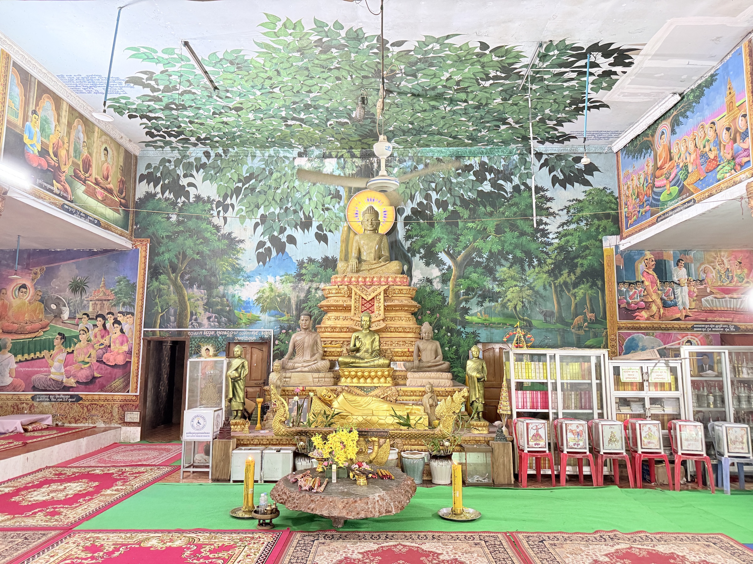
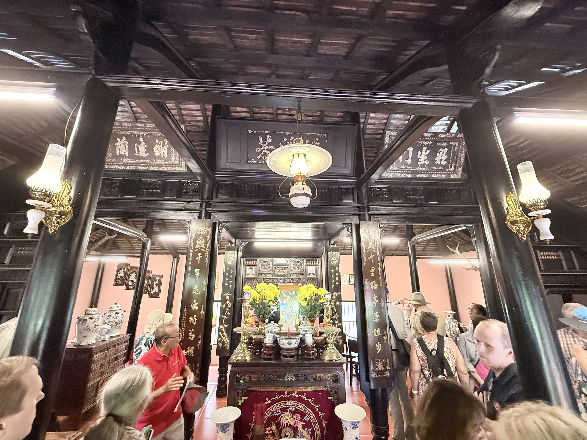
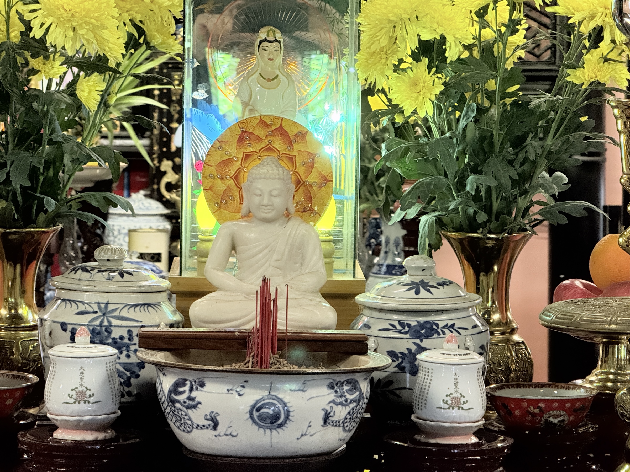
The next stop was at a Buddhist compound with several temples, and Buddhas. (Theravada Buddhism is practiced by over 90% of the population).
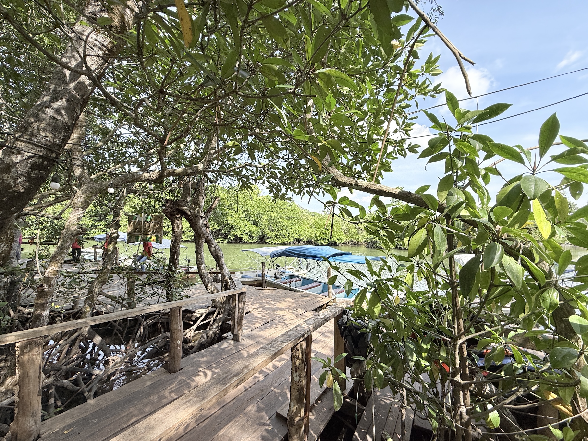
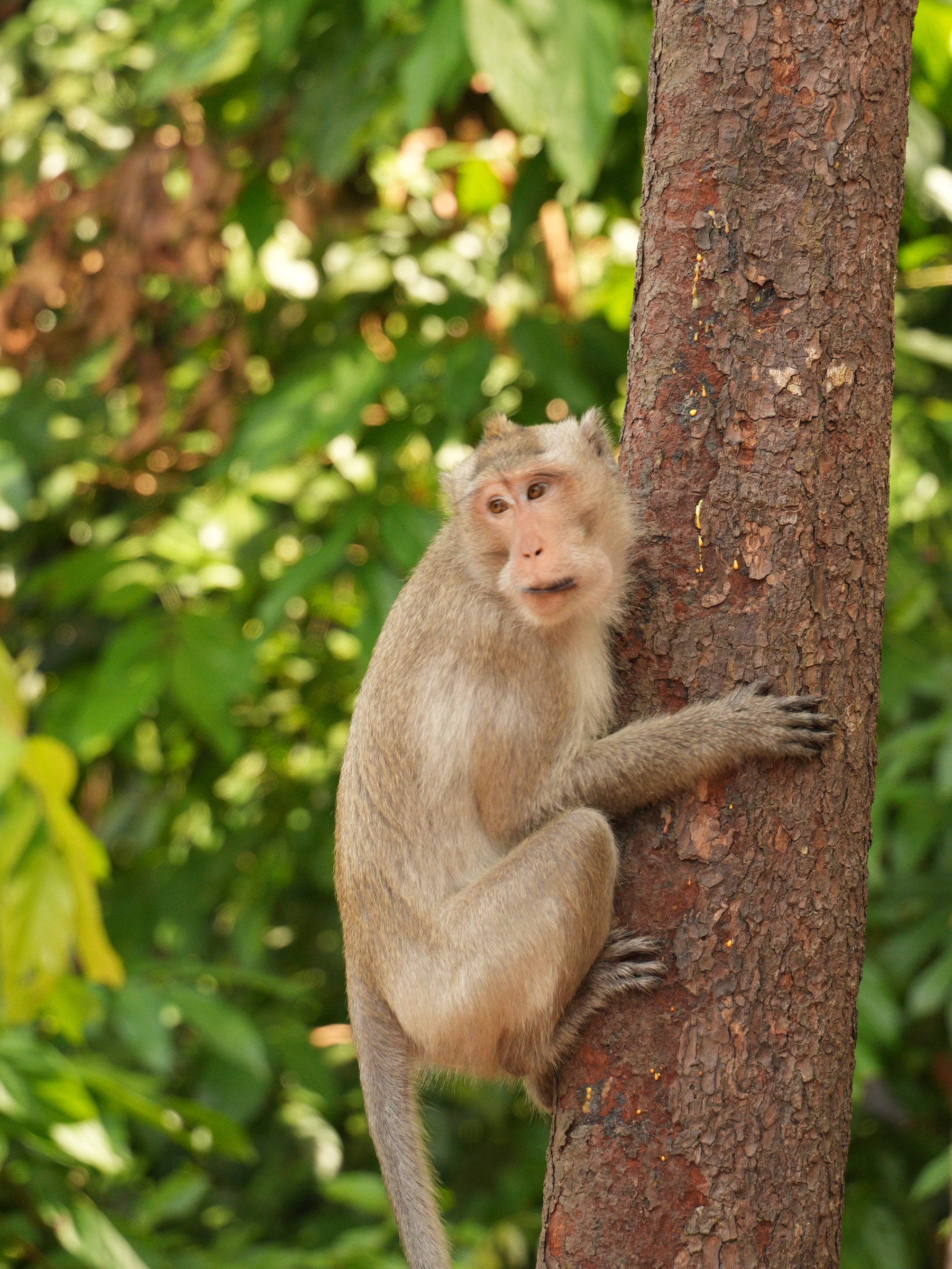
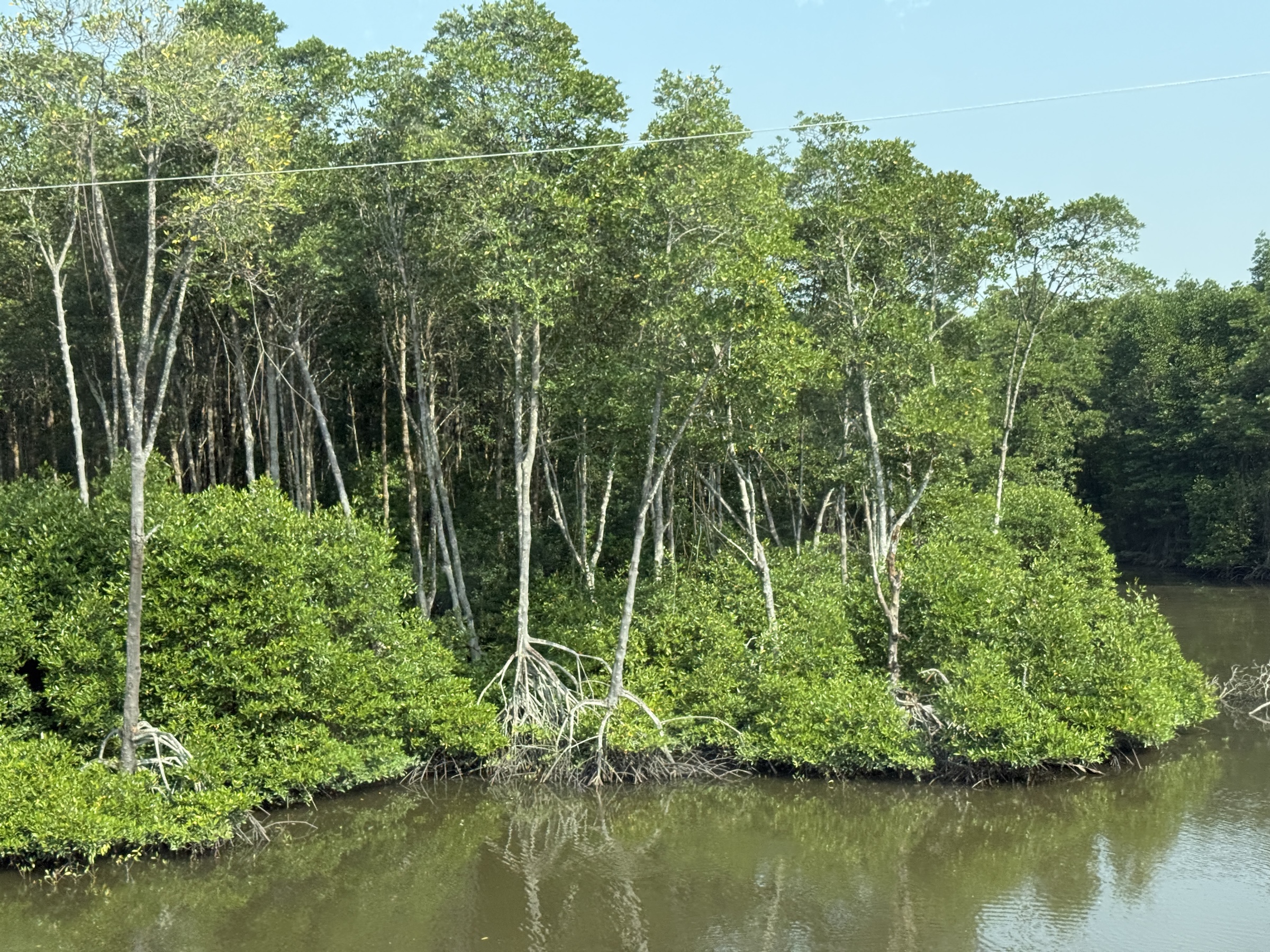
After that it was off to the beaches of Sampounch Island, and the national park. We did a little motor boat cruise through the mangroves and walked on an elevated plank walkway through the forest. There was not a single bird in sight, but we ran into a few long-tailed macaques right at the end of the walk.
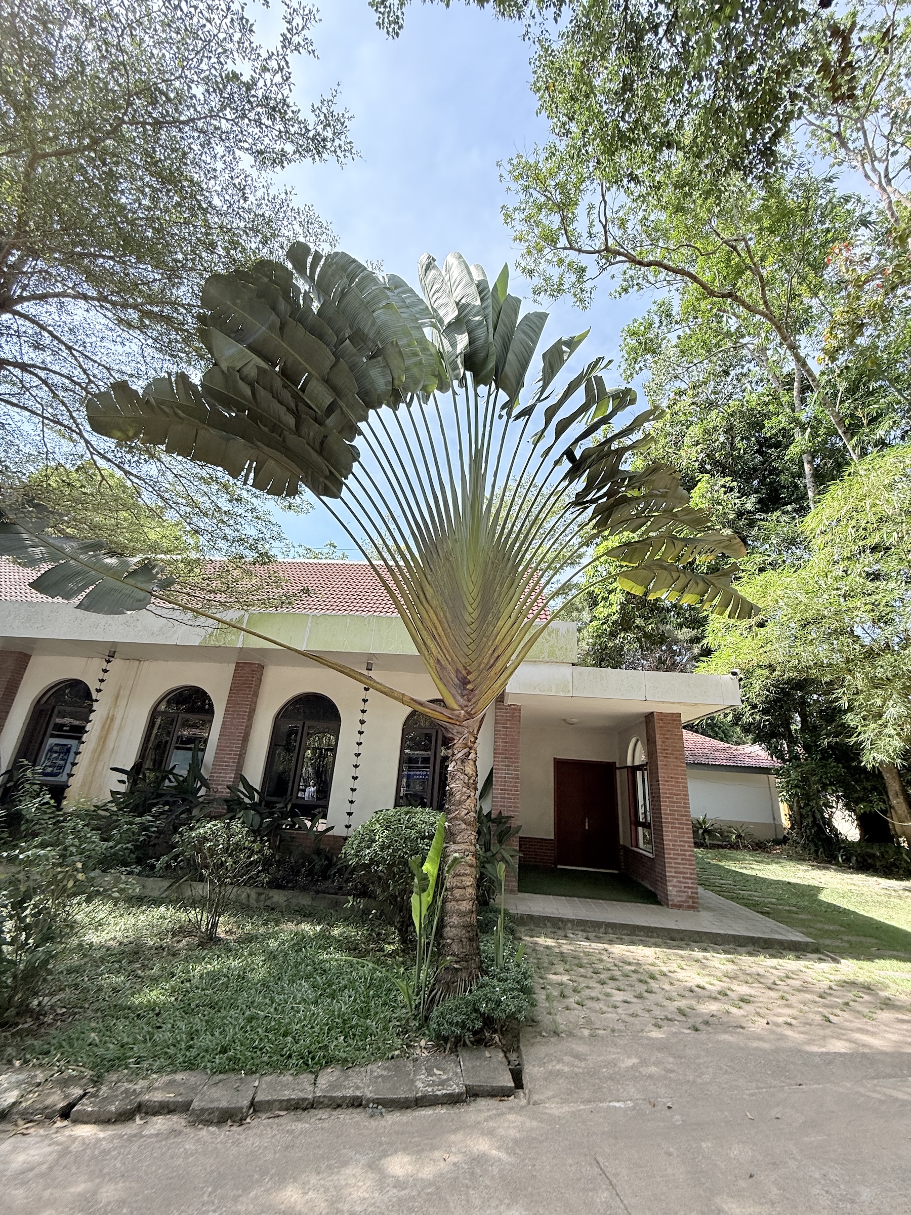
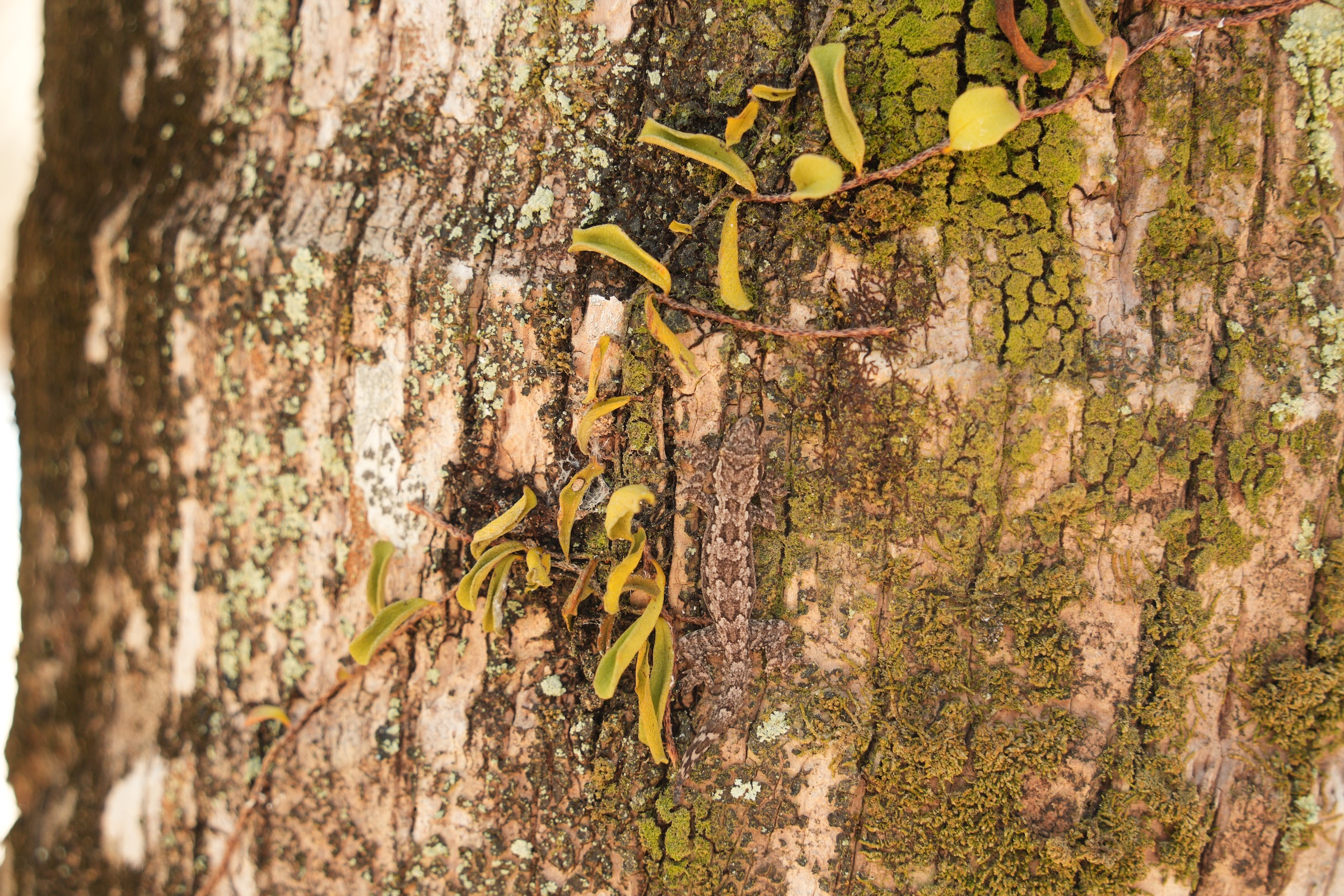
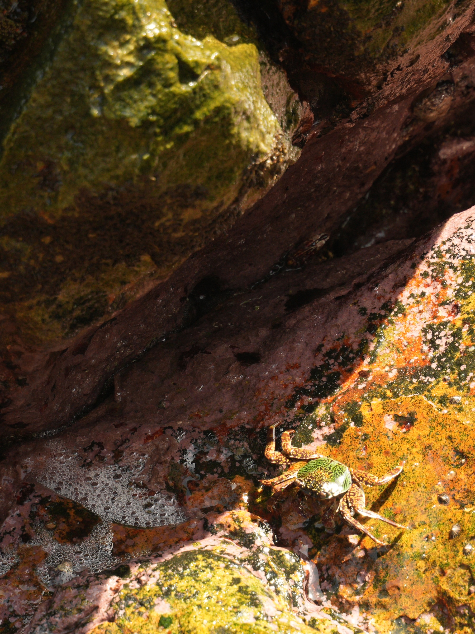
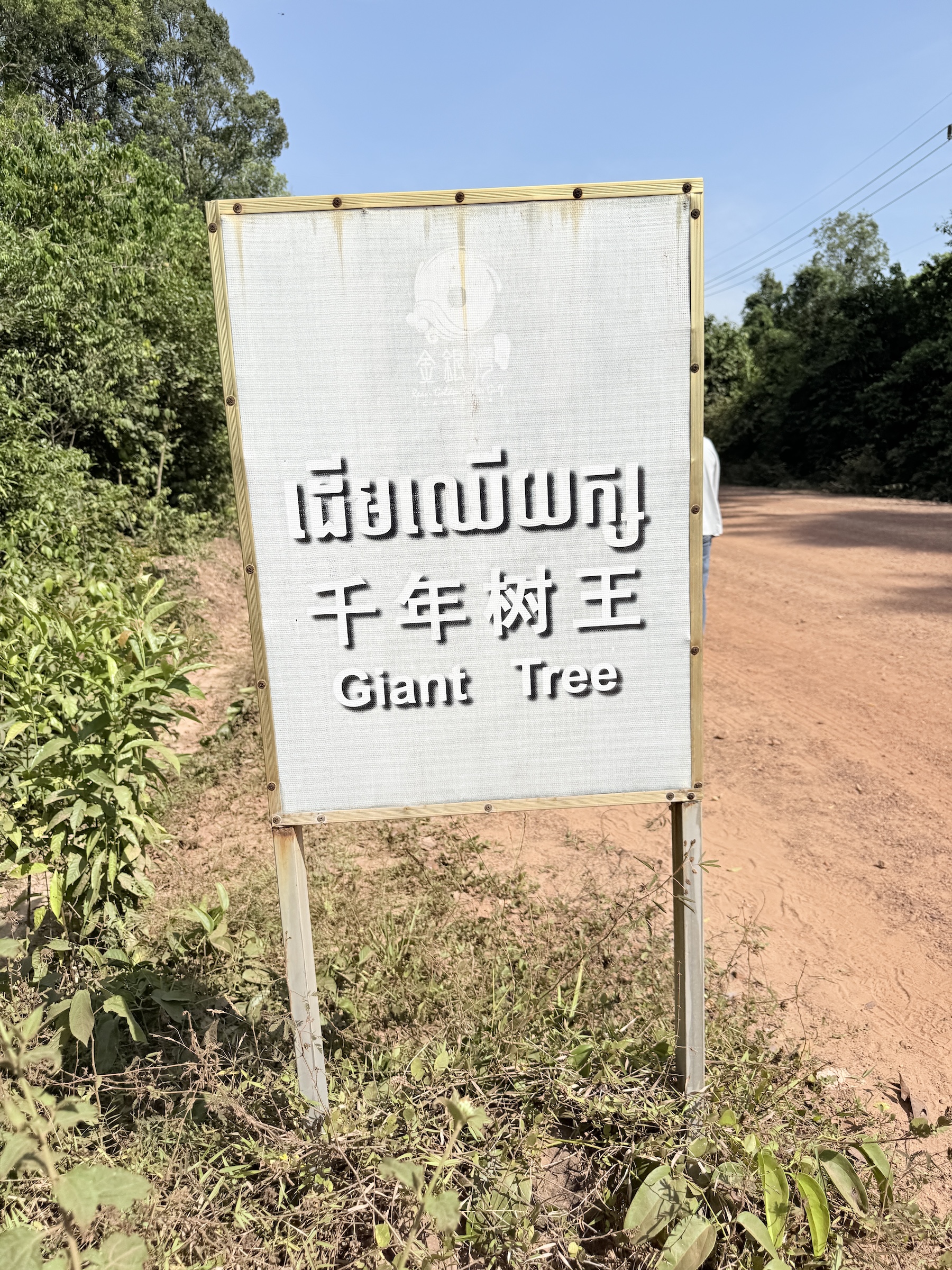
The other beach pictures and the crab, the gecko, the snake and the giant tree are near the beach at the Ream Boutique Hotel. We had lunch there, and a dip in the lukewarm waters of the Gulf of Thailand.
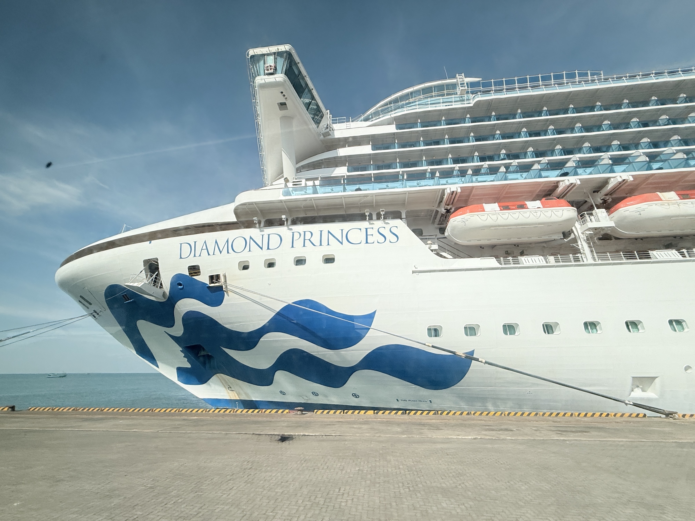


The Diamond Princess is making her way to Sihanoukville on the Cambodian coast. We are due in at 7 am in the morning, there.
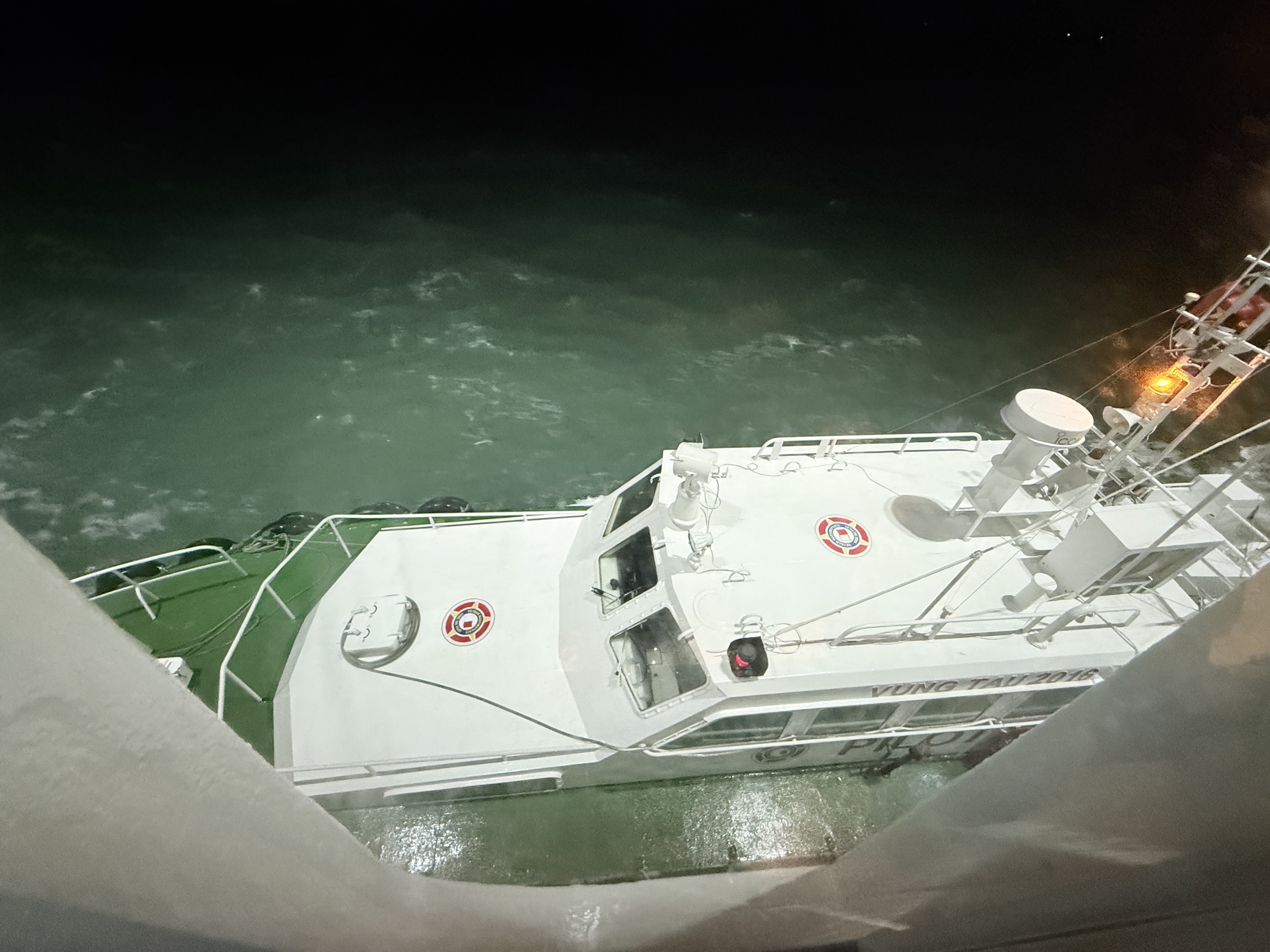
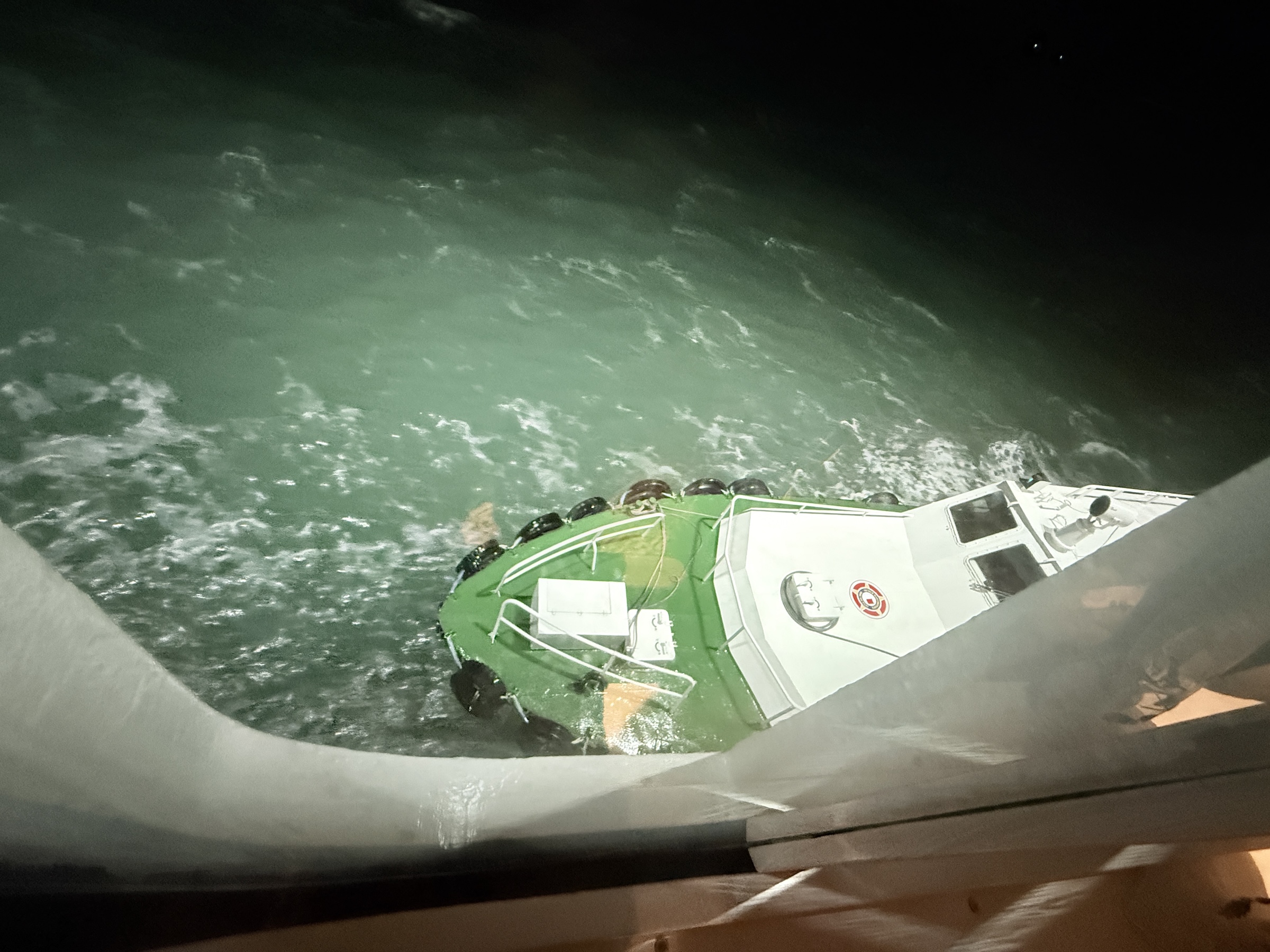
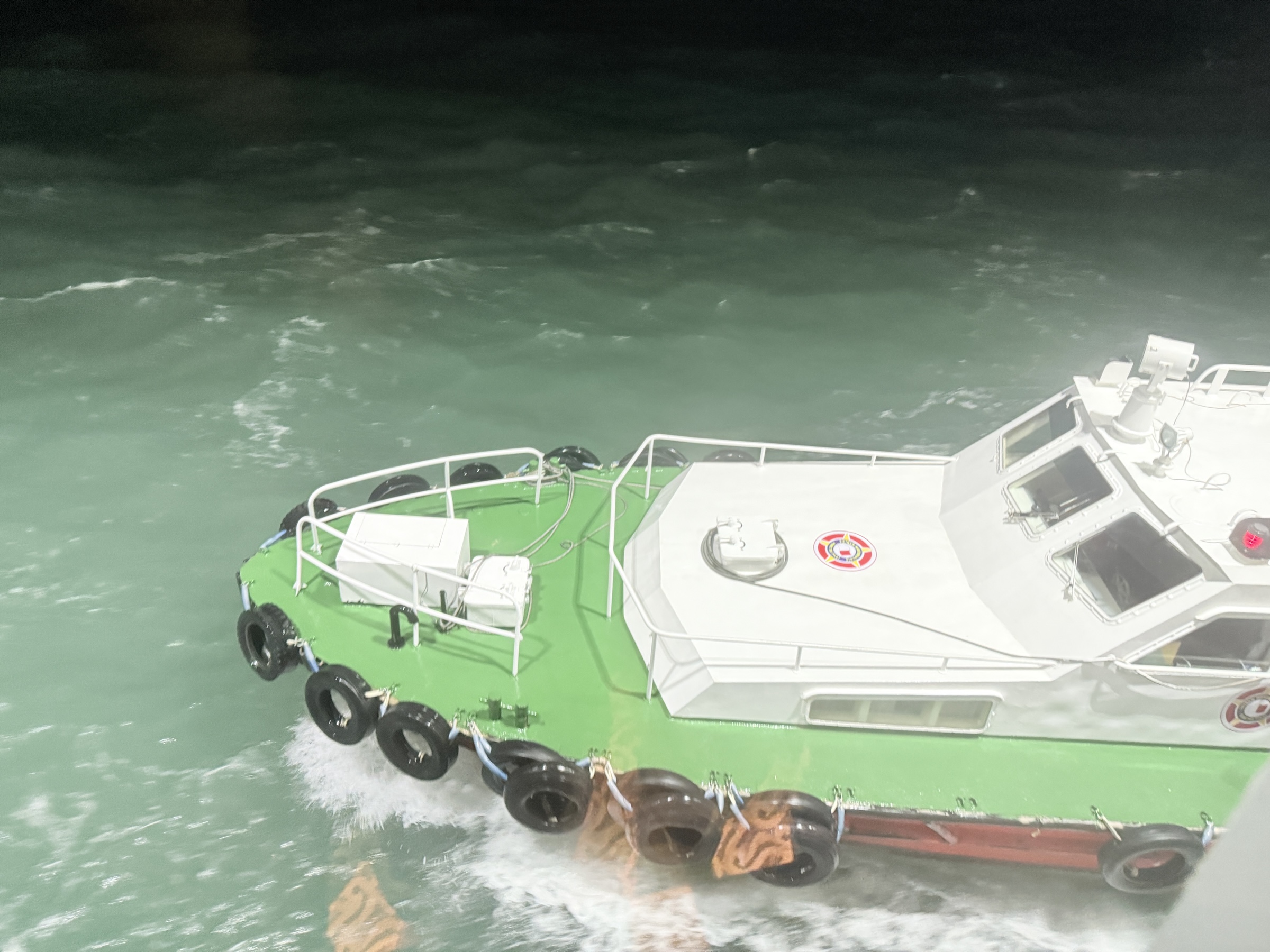
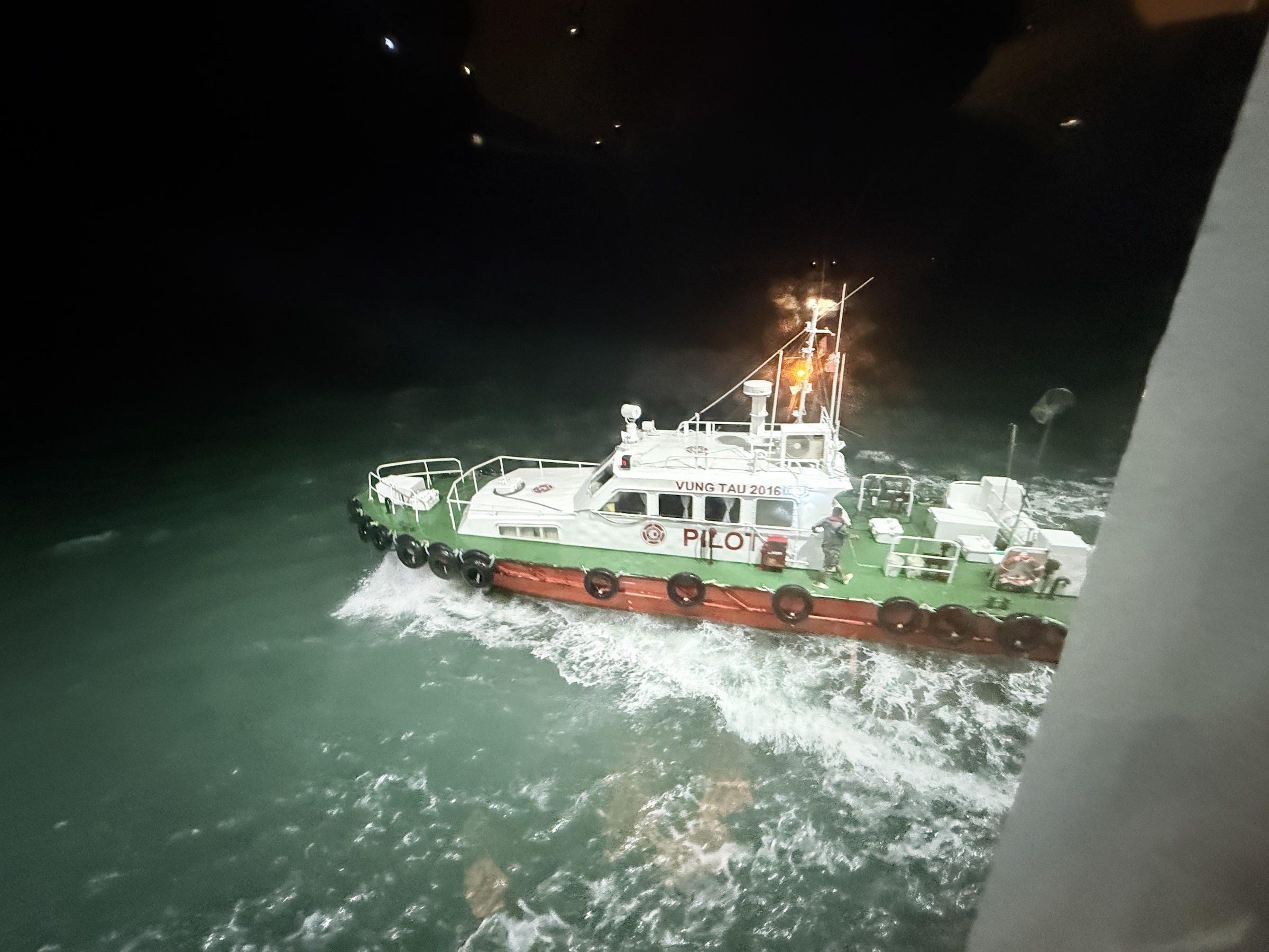
Last night we happened to spot a pilot ship from the port at Phú Mỹ as it was right against the Diamond Princess.
It probably came out to pick up the local maritime pilot that had guided the Diamond Princess out of the waterways and channels at Phú Mỹ— and that had just handed the navigation of the Diamond Princess back to the captain.
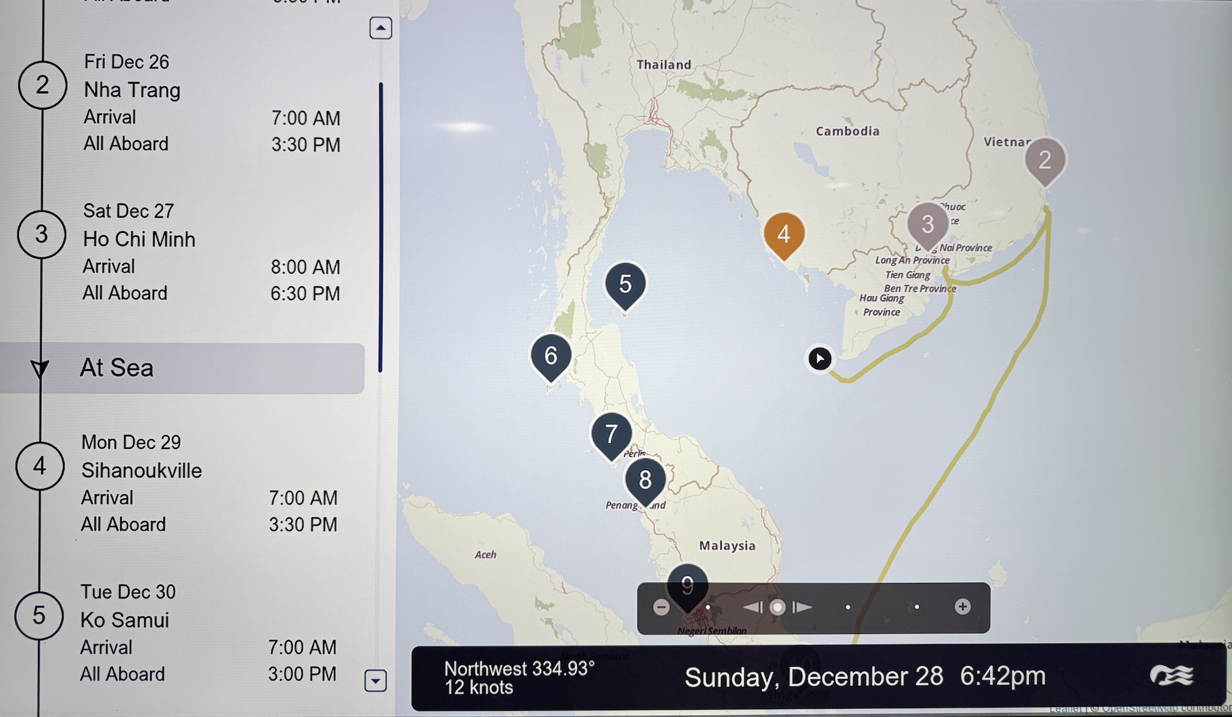
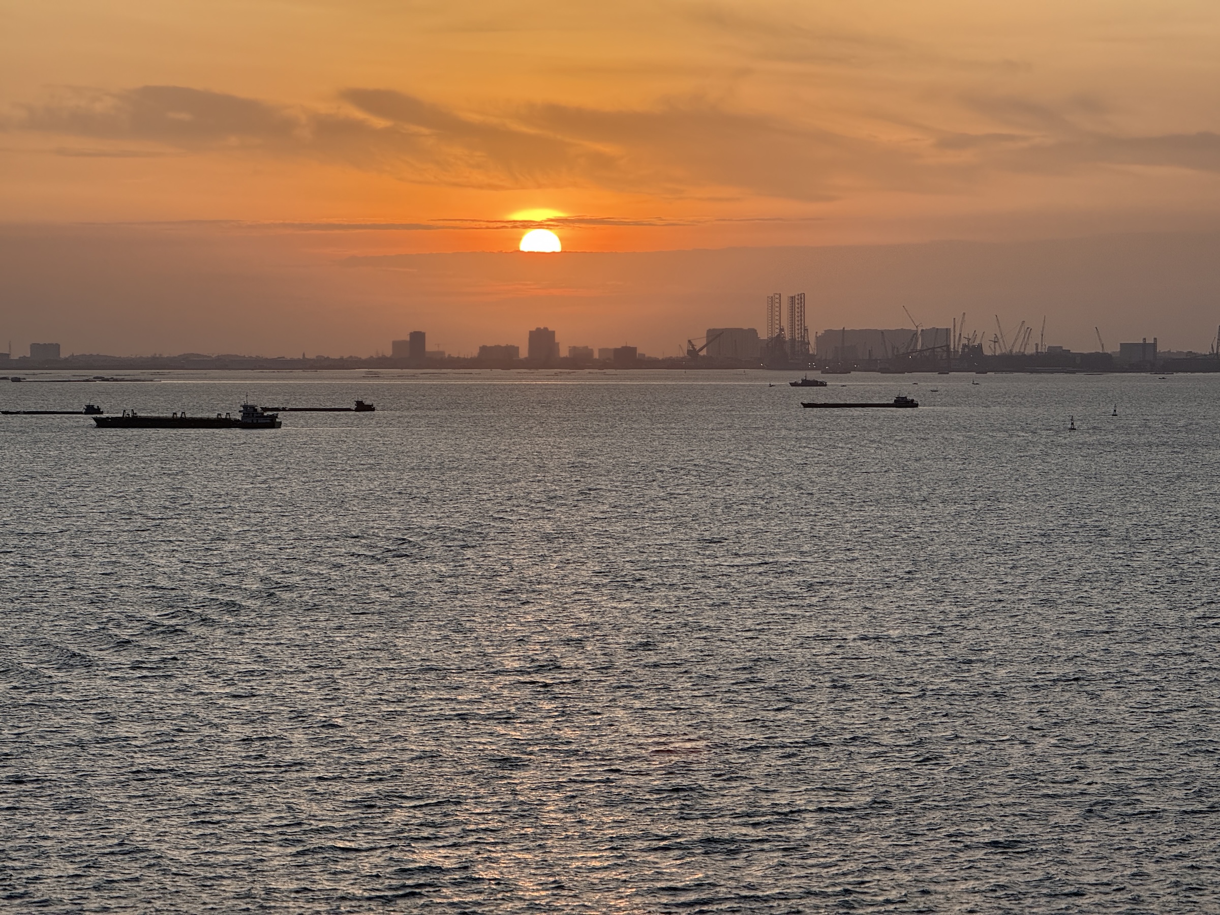
The Diamond Princess arrived at the deep-water port of Phú Mỹ at 8 am on Saturday morning.
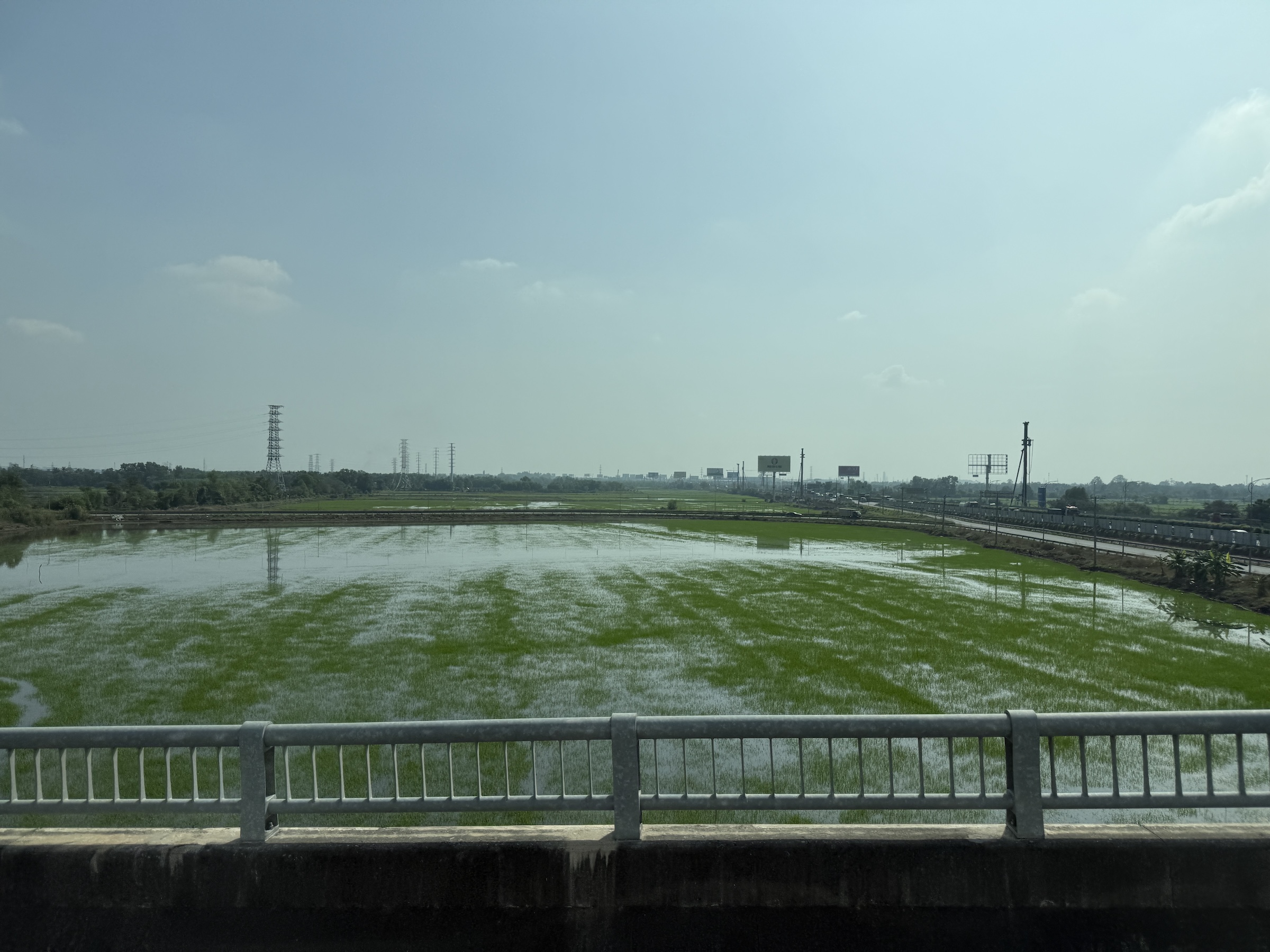
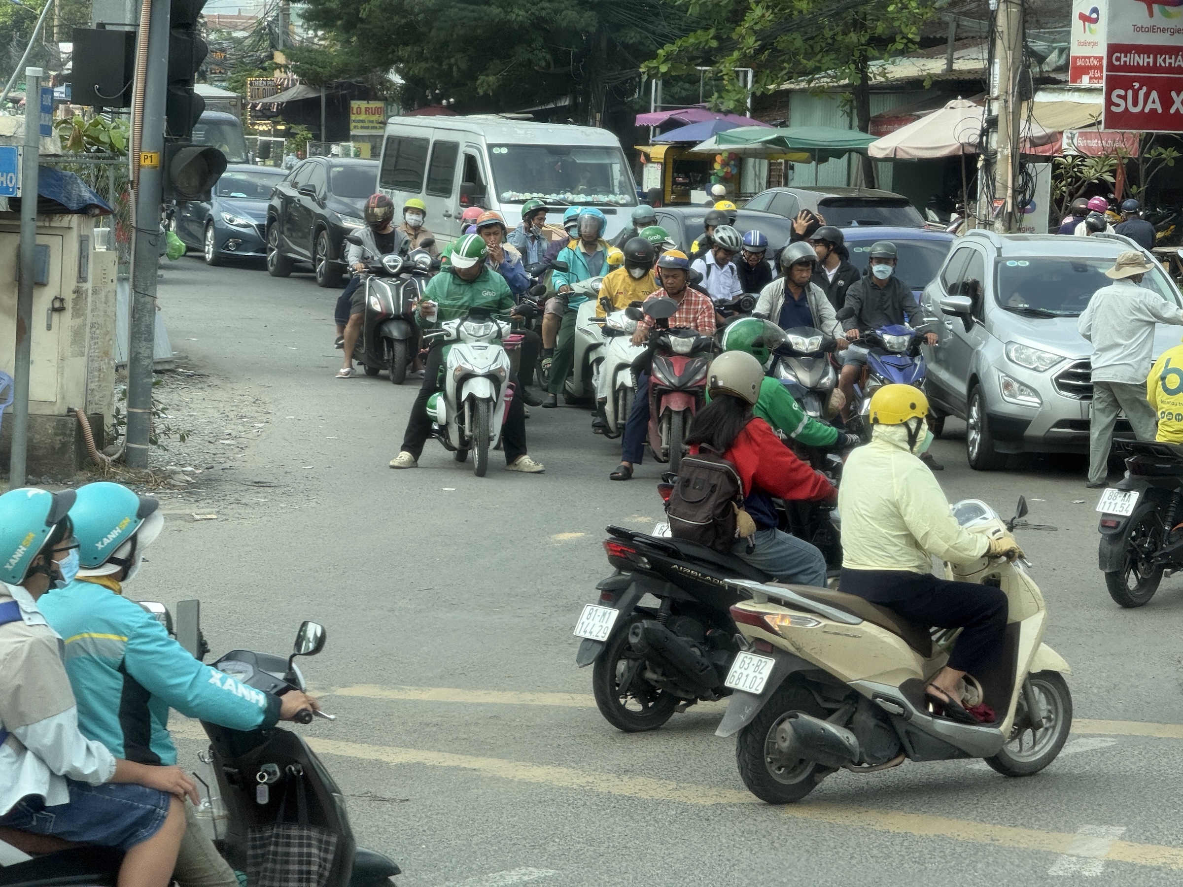
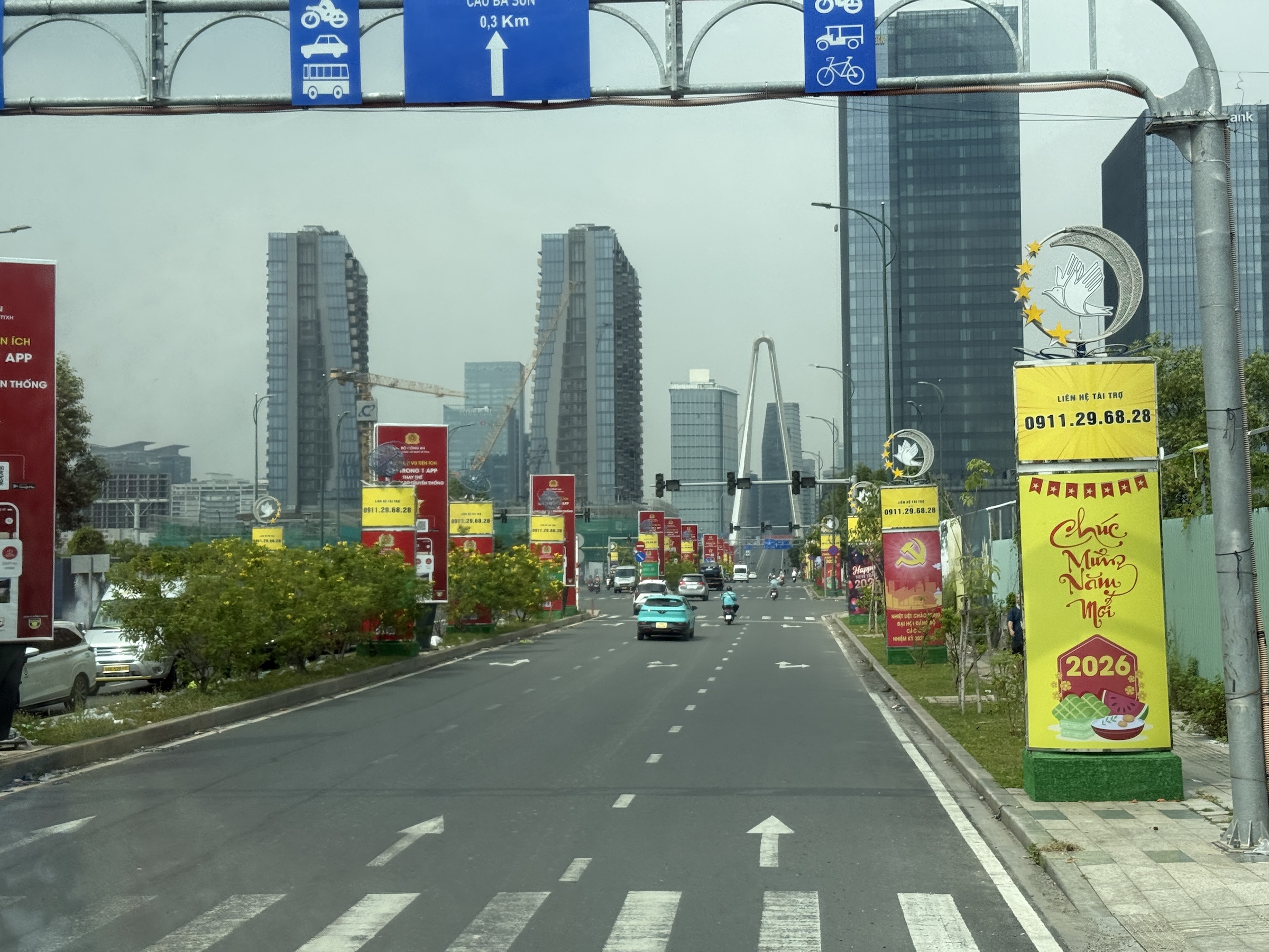
It’s almost a 2-hour drive from Phú Mỹ to the sprawling city of Ho Chi Minh. Our tour bus ran alongside and across the rivers of the Mekong Delta*, and the route included a segment of National Route 1 with toll plazas. It is the beginning of the rice planting season. Rice is a staple food in Viet Nam.
*Home to the endangered Mekong giant catfish (Pangasianodon gigas), known for reaching nearly 10 feet and over 600 pounds.
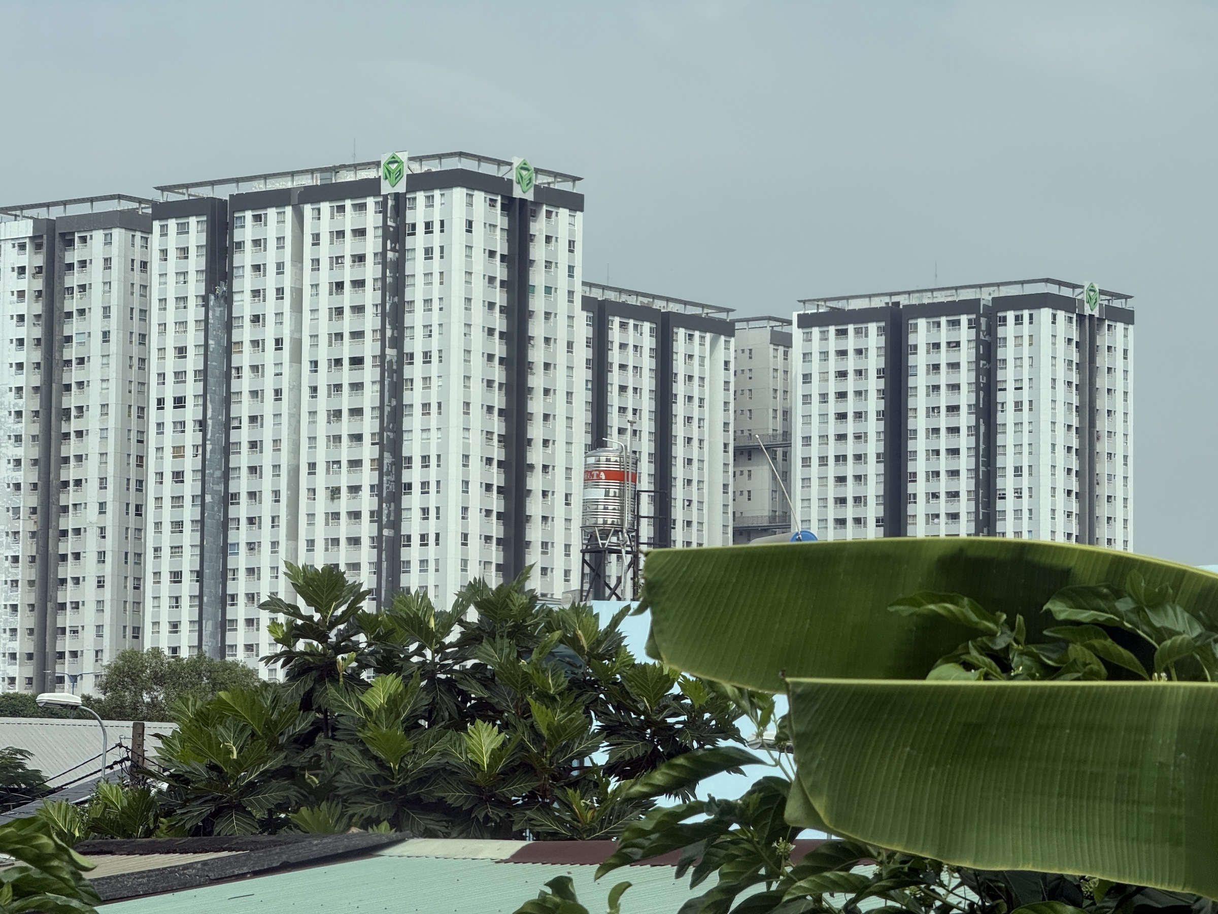
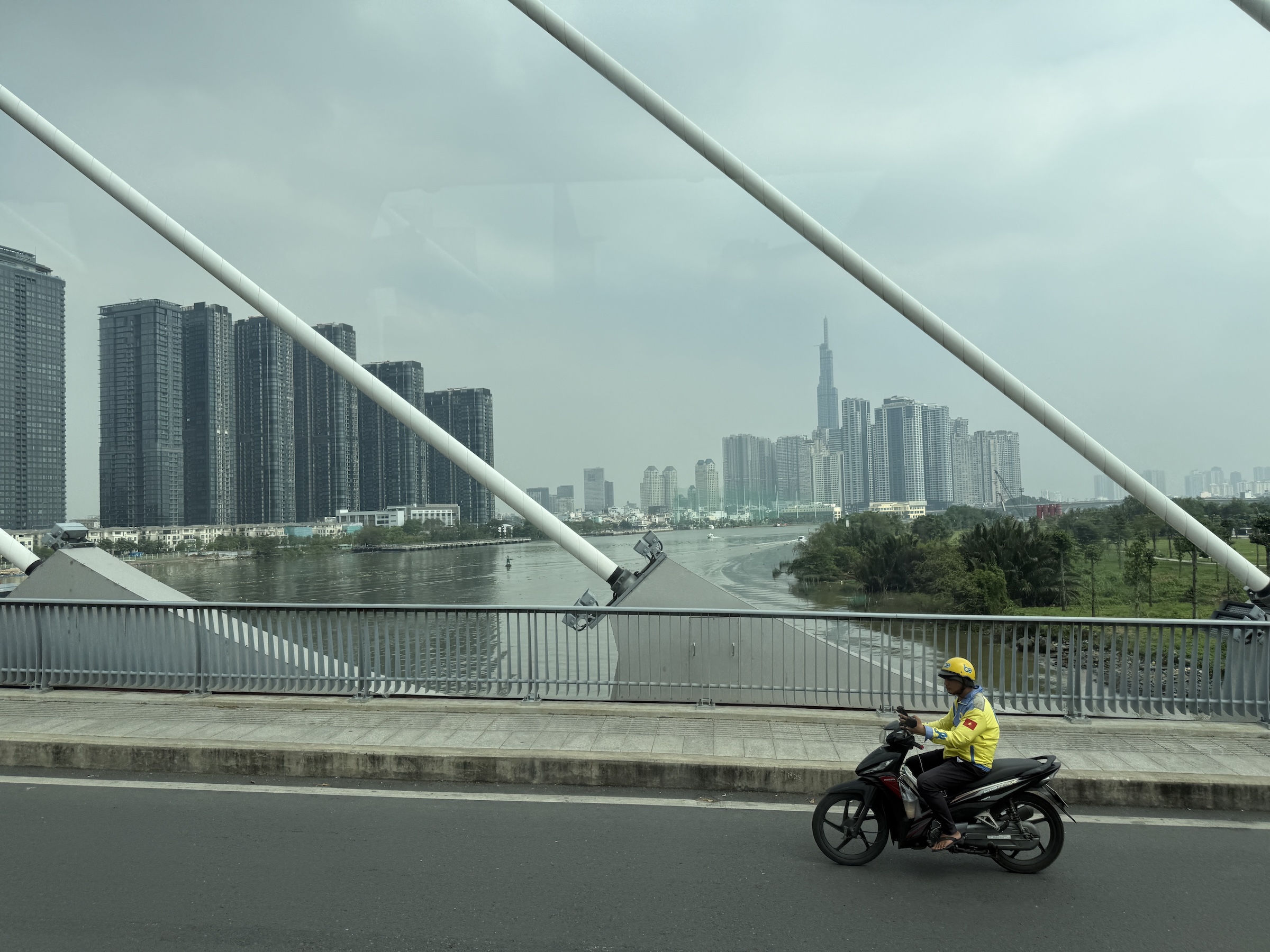
As we approached the city, we saw tall apartment buildings (what we would call condominiums in the States). These go for a fortune in Vietnamese Dong— 5 billion, about US$200,000— and are strictly for rich people. The supertall skyscraper in the pictures is that of the 81-story Landmark 81 tower (completed 2018).
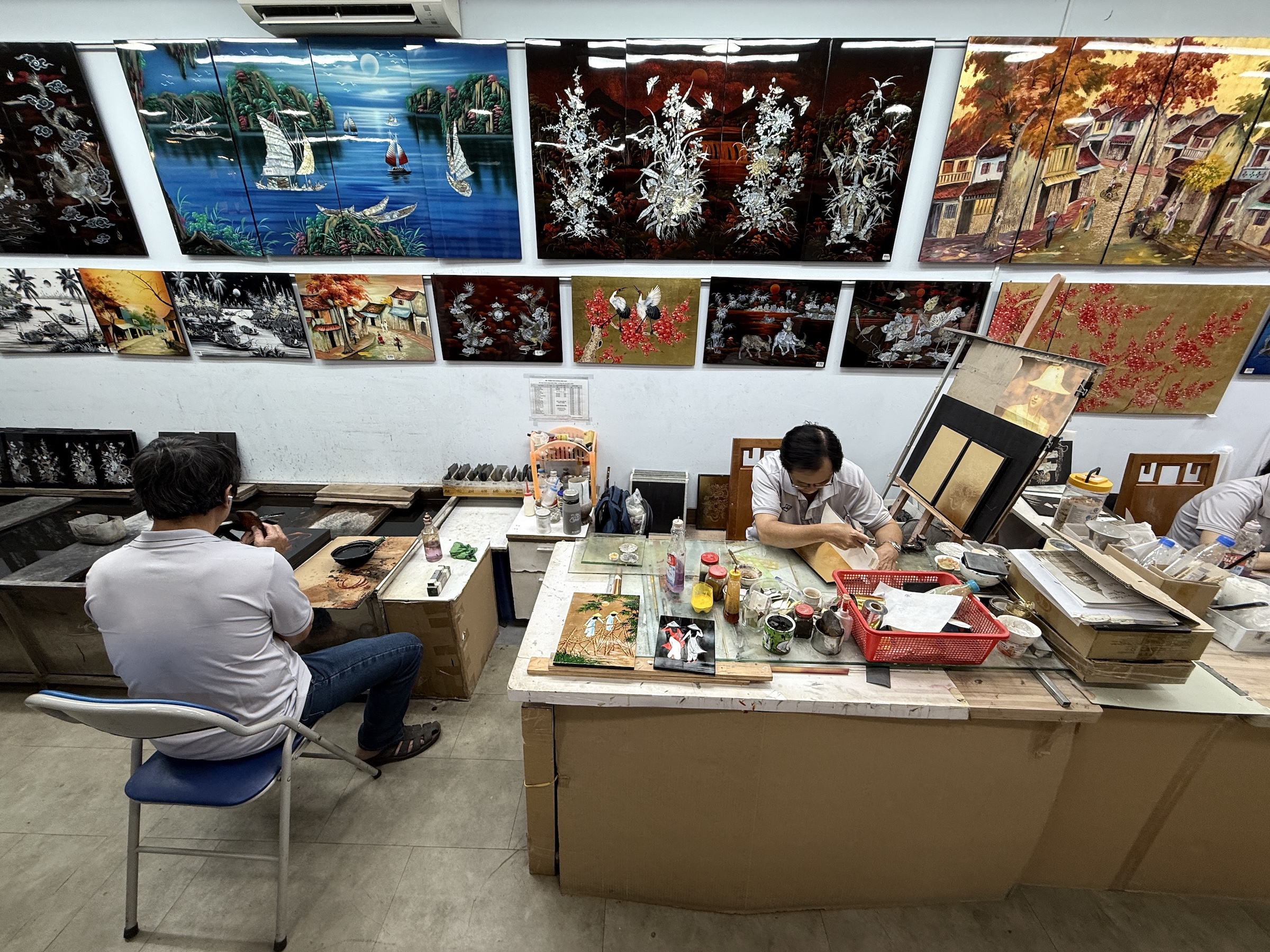
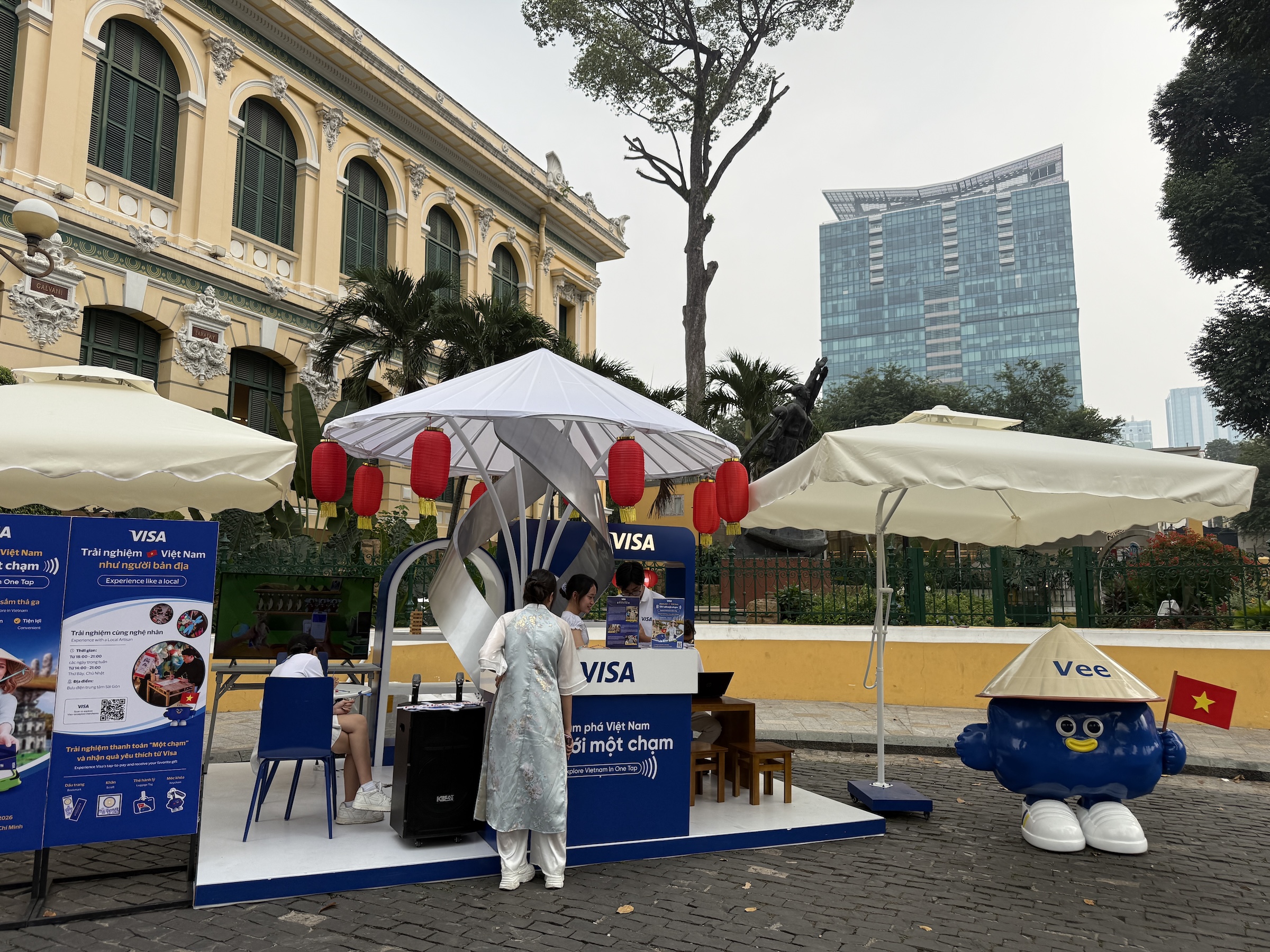
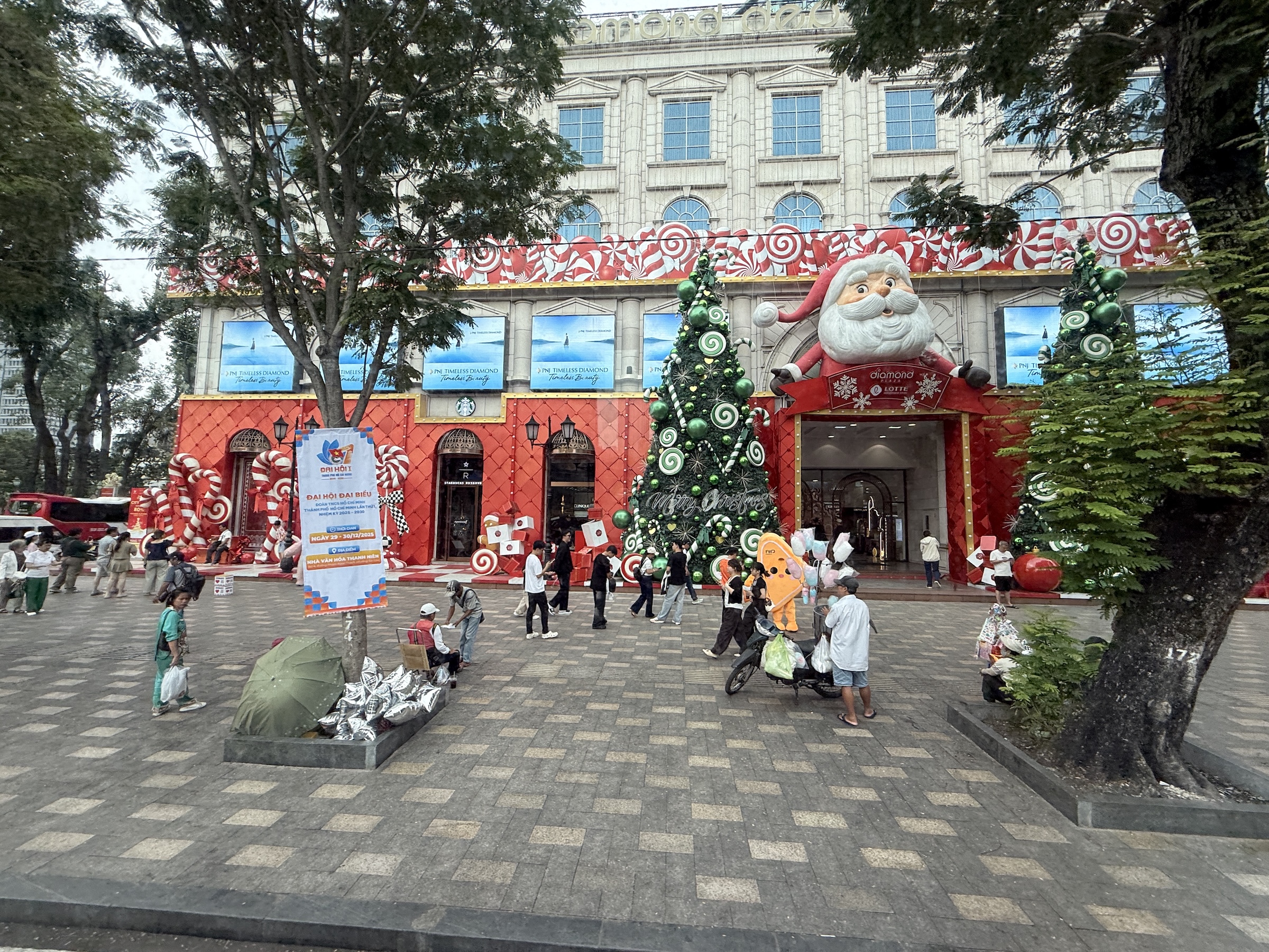
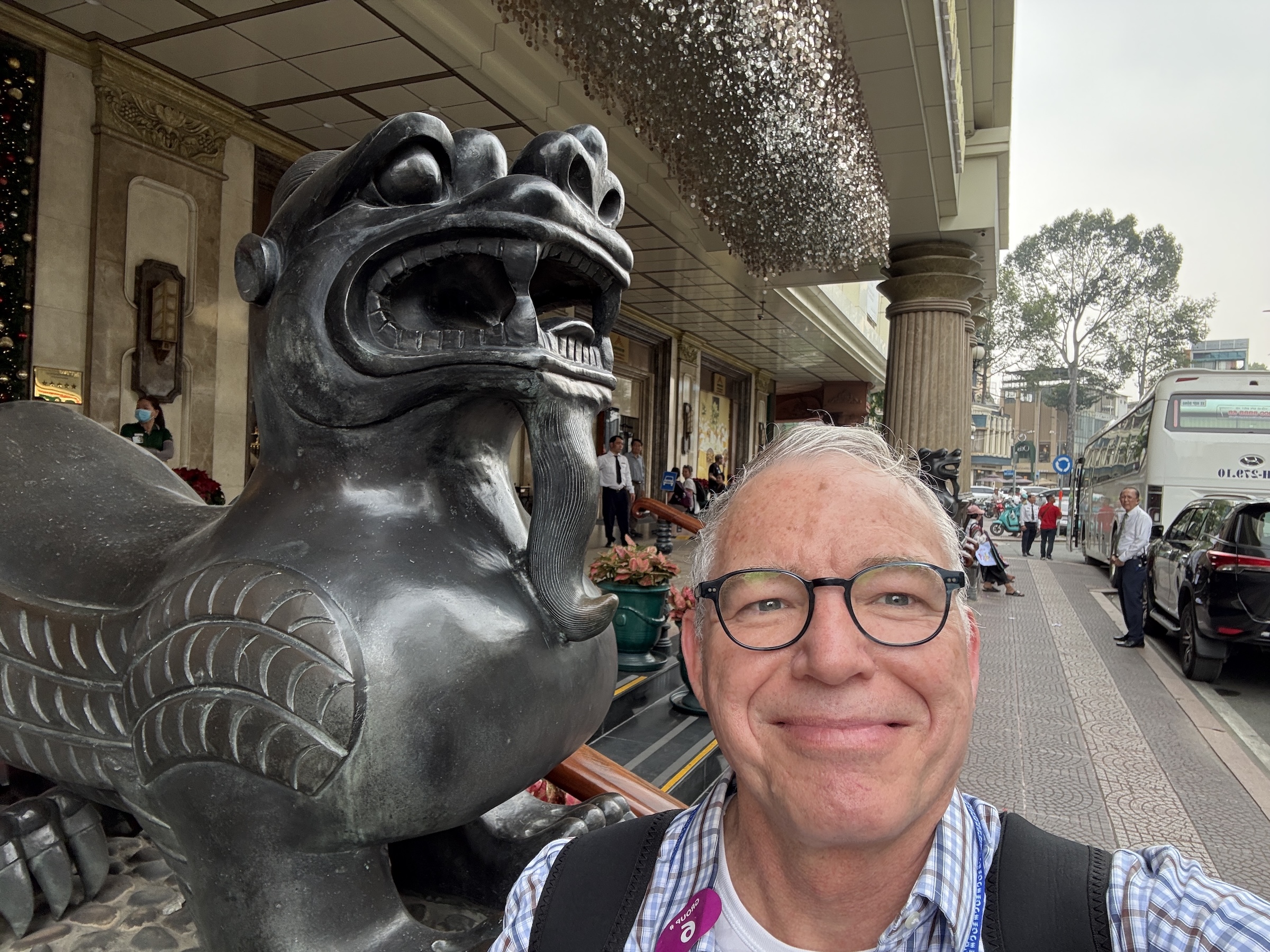
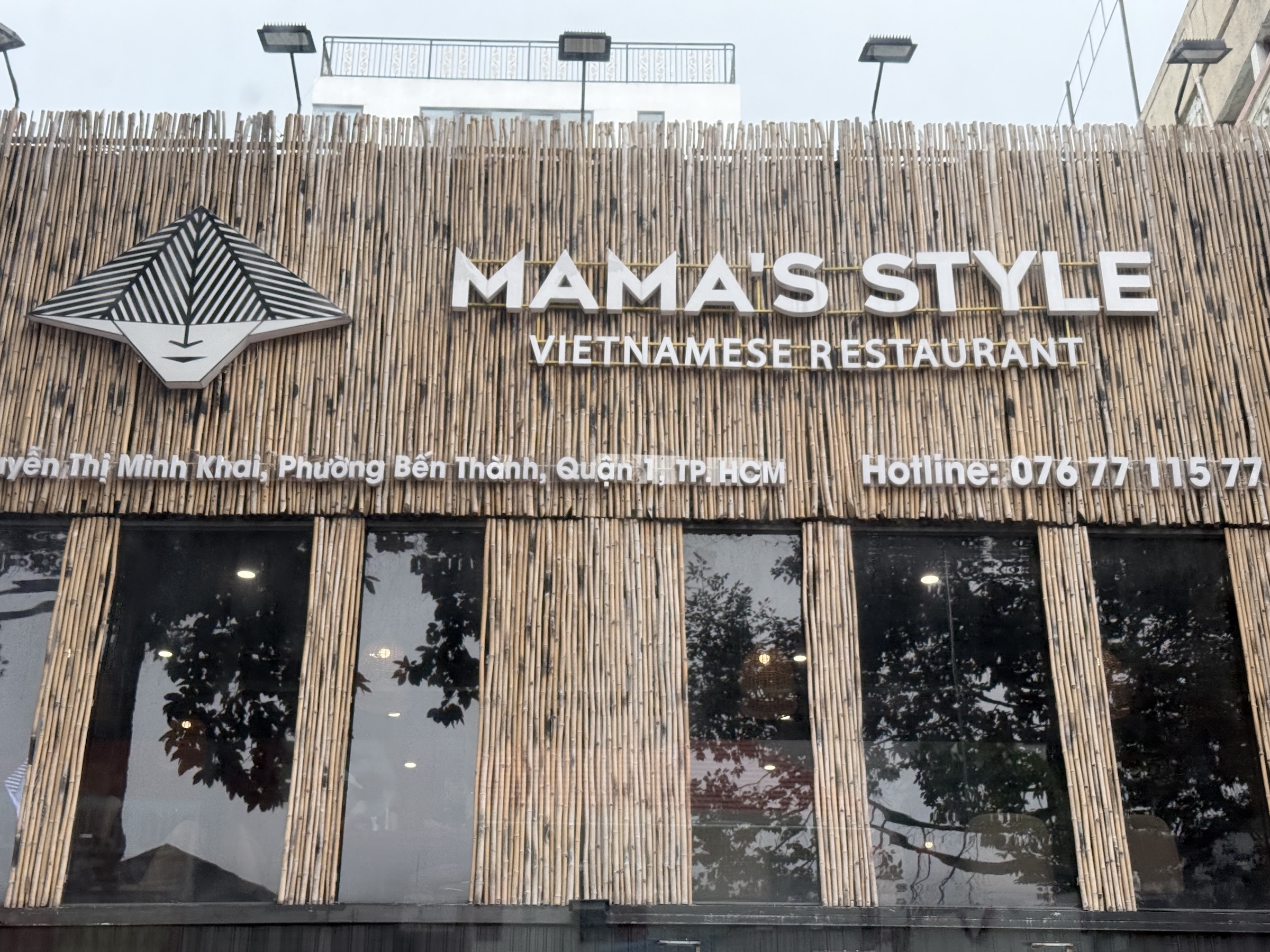
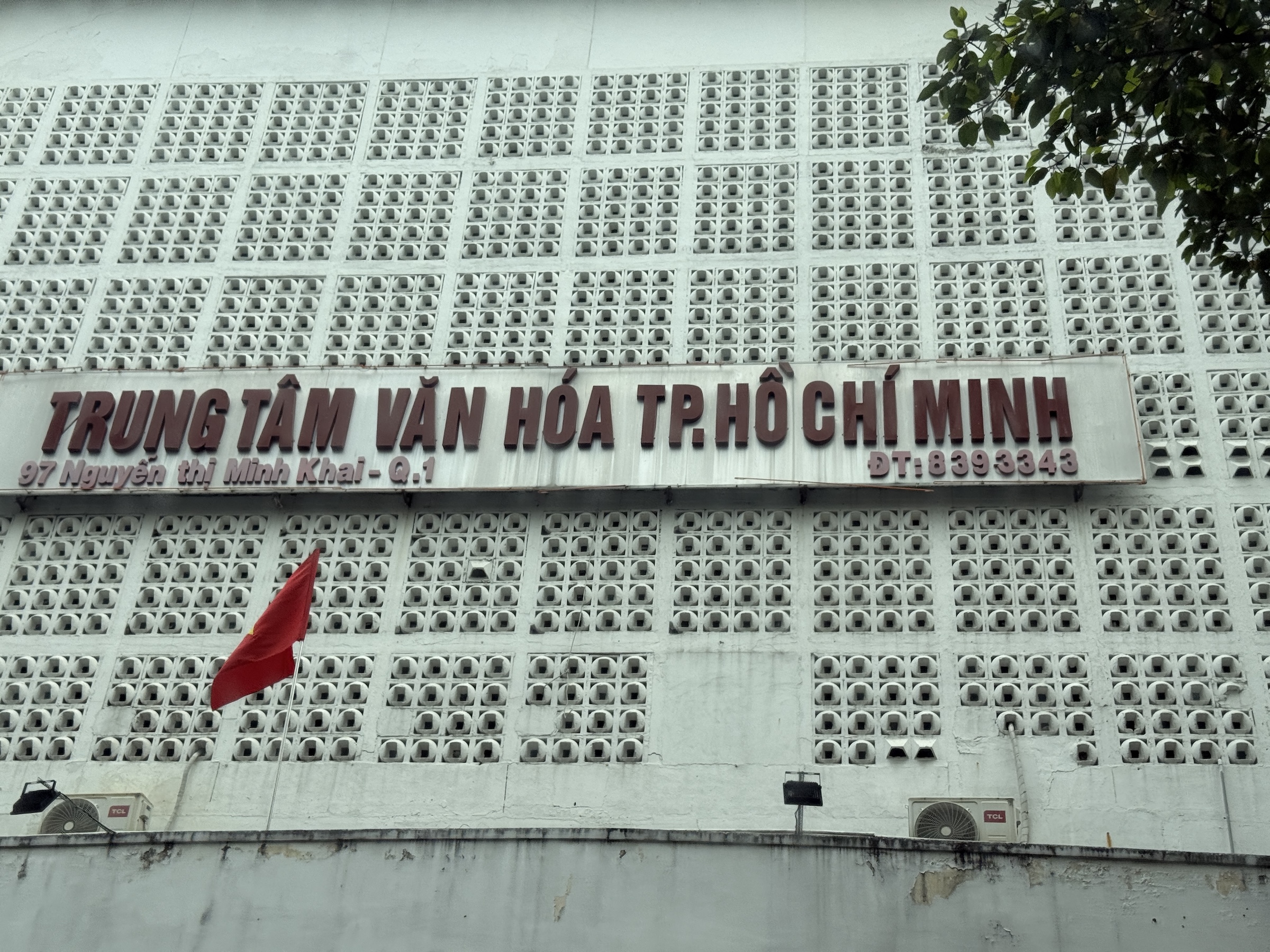
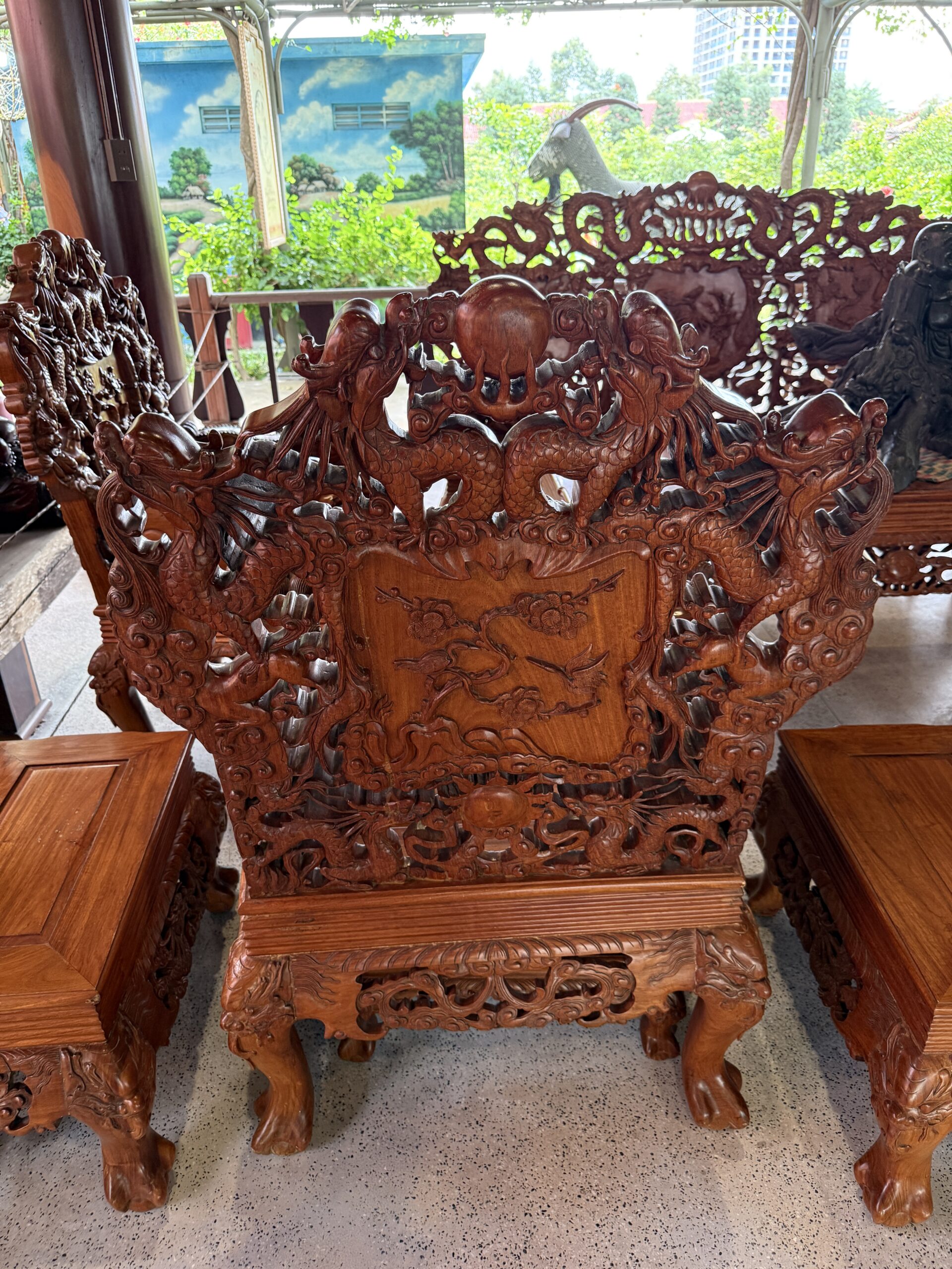
Our first stop in Saigon* was at an art studio and gallery with Vietnamese lacquer art, or Sơn Mài. *The central part of Ho Chi Minh City still goes by the name of Saigon.
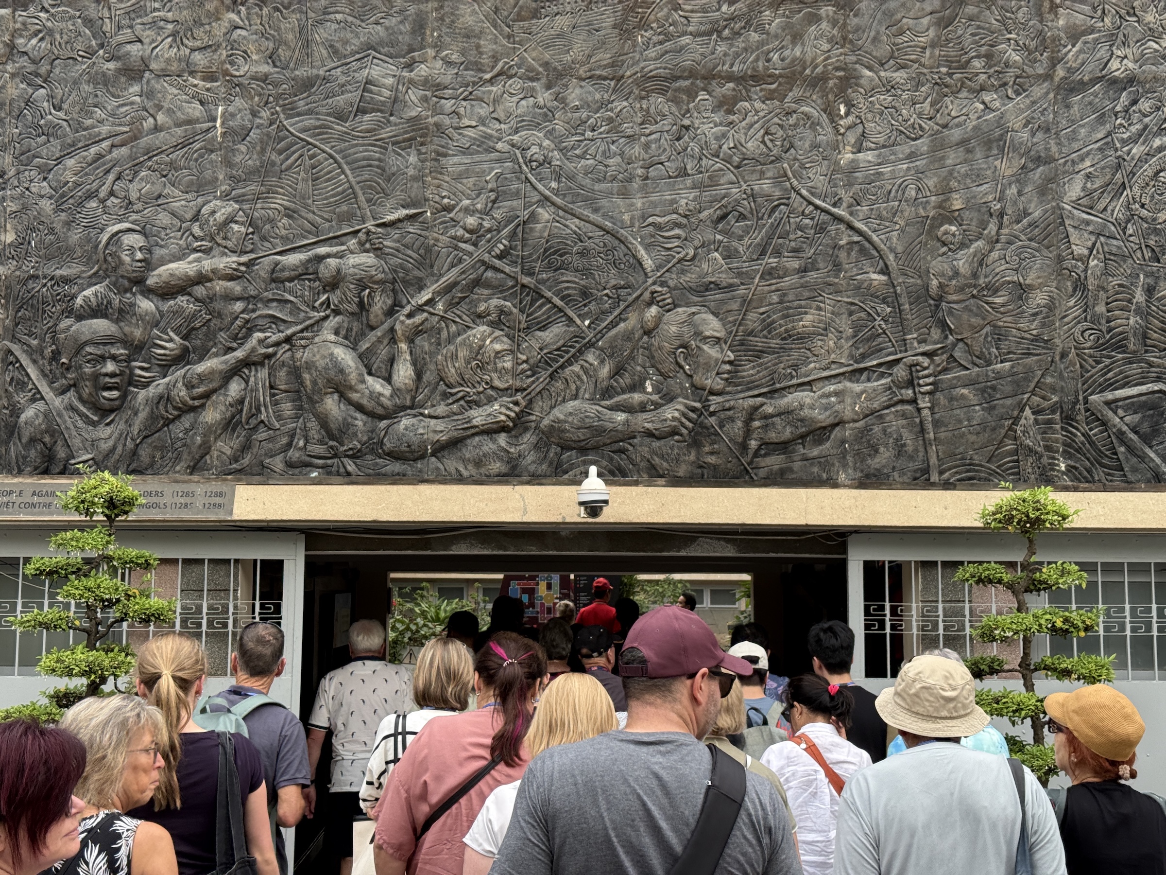
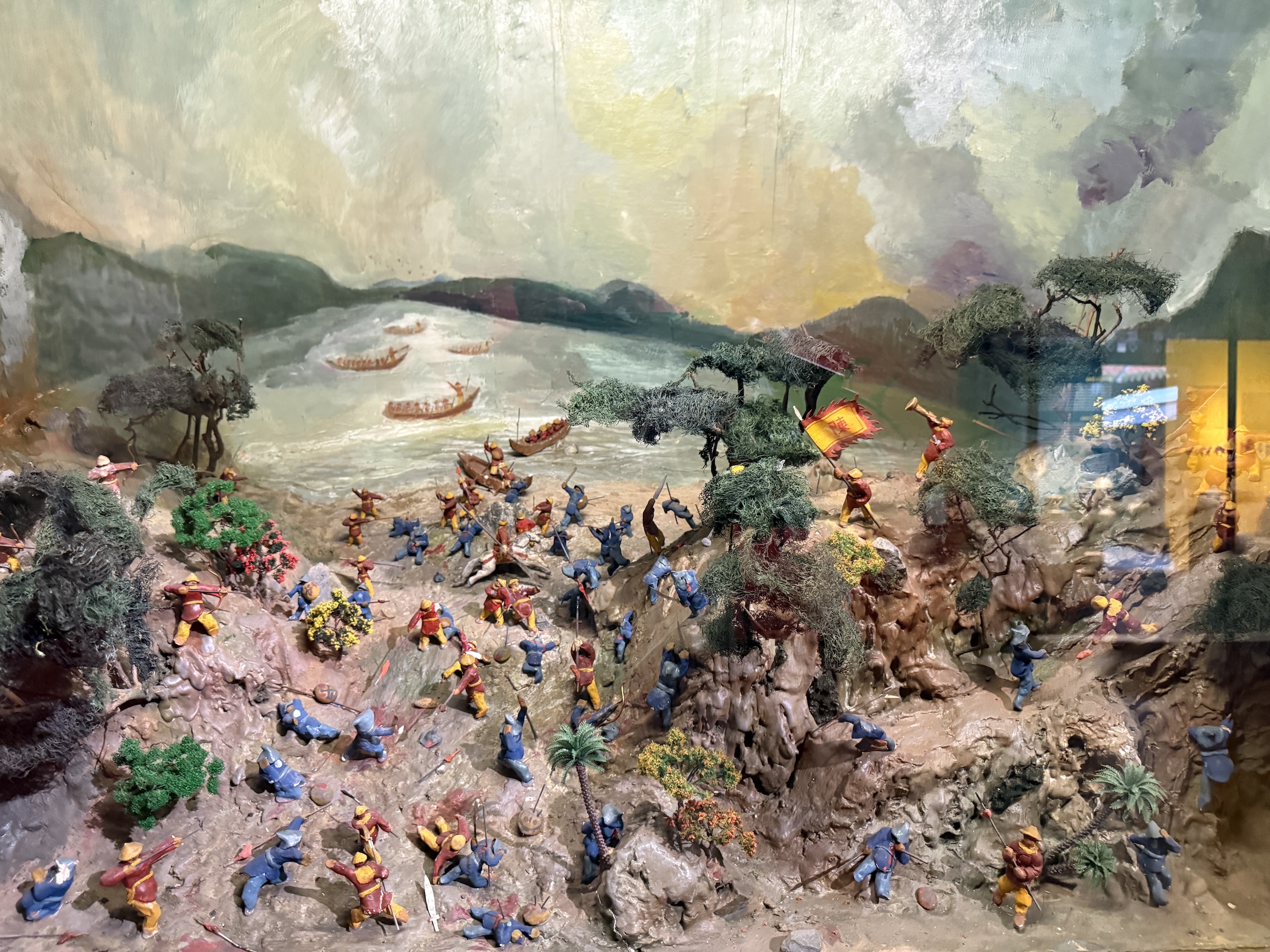
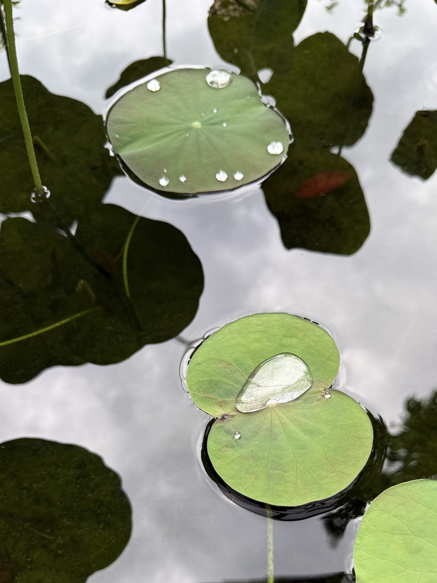
The next stop was at Ho Chi Minh City History Museum with its lovely water lily pond and displays of the forces that occupied the territory of what is known as Viet Nam today.
I asked Google AI Overview for a summary:
Vietnam’s history is marked by occupation and resistance, starting with over a millennium of Chinese rule (c. 111 BCE–938 CE), followed by internal dynasties and expansion south. French colonization from the 1880s led to French Indochina, briefly interrupted by Japanese occupation during WWII, sparking the Viet Minh independence movement. After WWII, France tried to reclaim control, leading to the First Indochina War (1946-1954), ending with French defeat and Vietnam’s division, ultimately leading to the Vietnam War (US involvement) and communist unification in 1975.
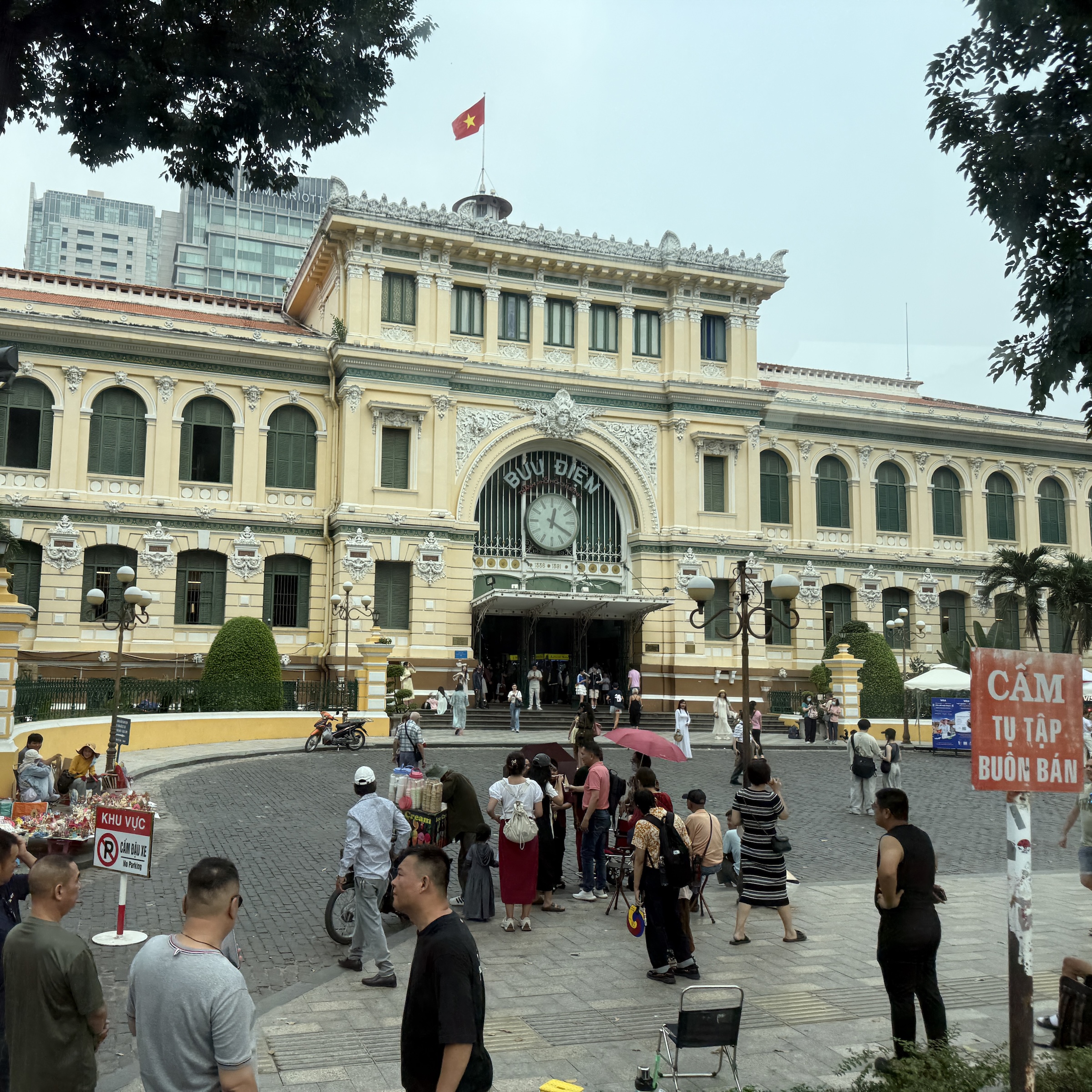
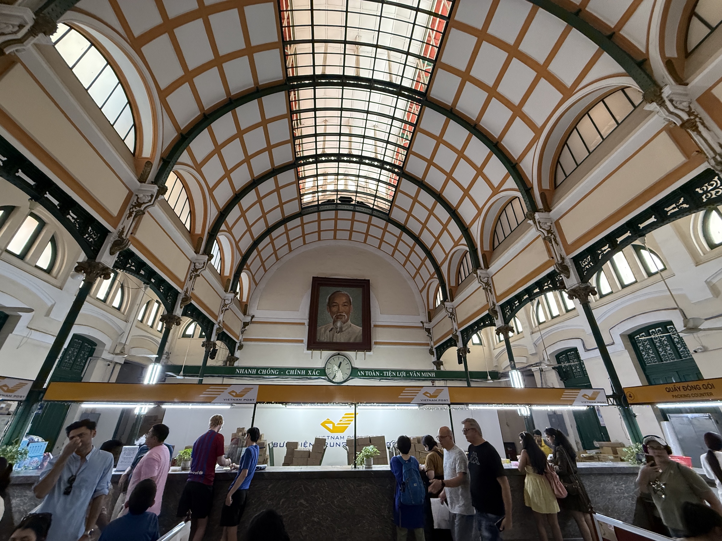
Next was the Saigon Central Post Office with a portrait of Ho Chi Minh inside. (Ho Chi Minh was the man that led a long and ultimately successful campaign to make Vietnam independent. He was president of North Vietnam from 1945 to 1969.)
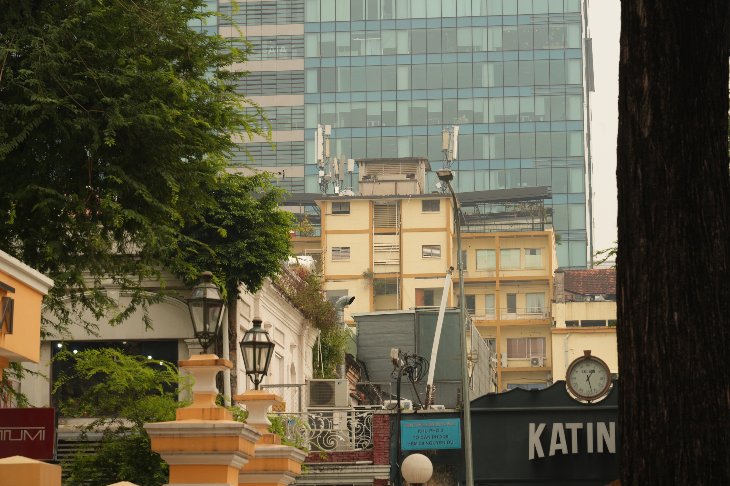
Look for my picture of the Pittman Apartments building from which people were airlifted from during the Fall of Saigon in April 1975 (famously captured in Hubert van Es’s iconic photo). It’s painted yellow and light brown and has several antennas attached to it.
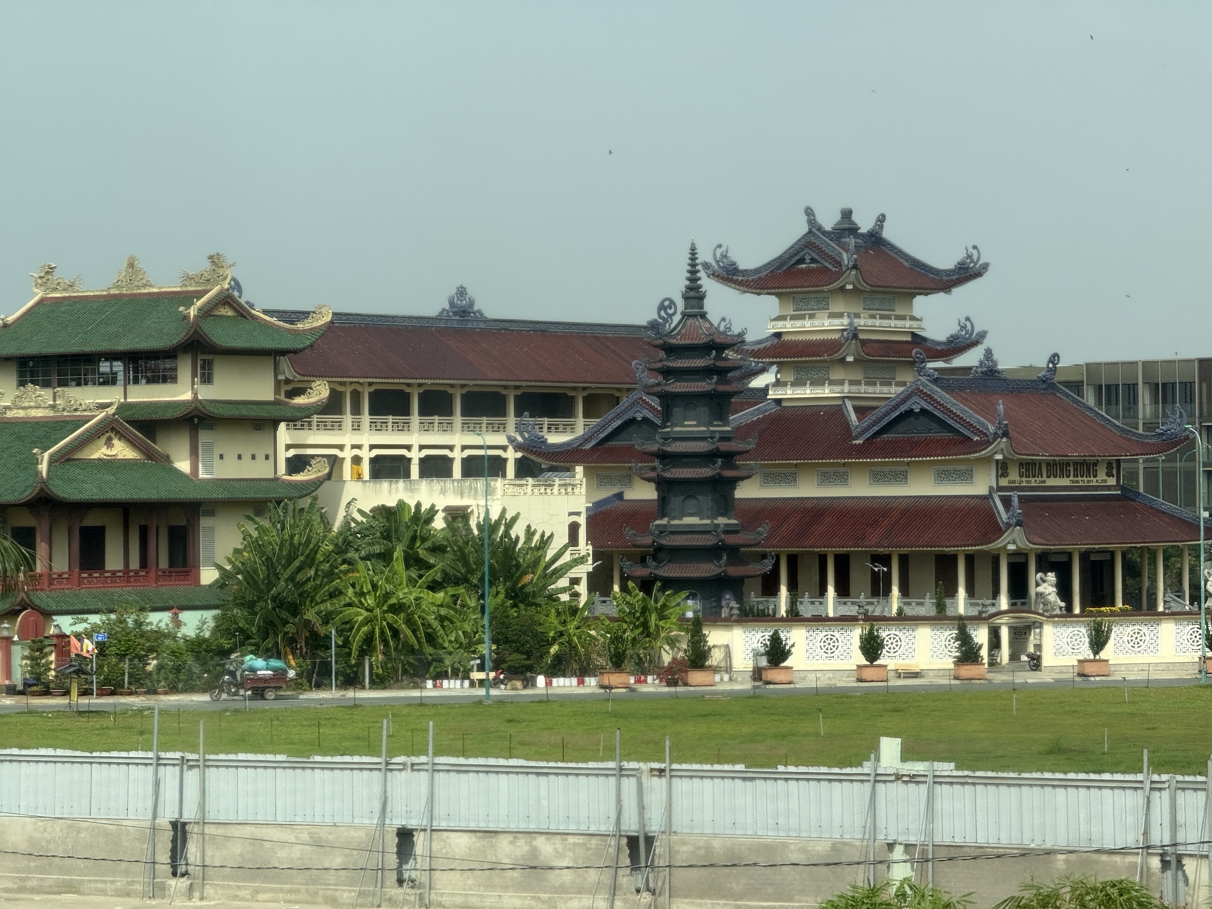
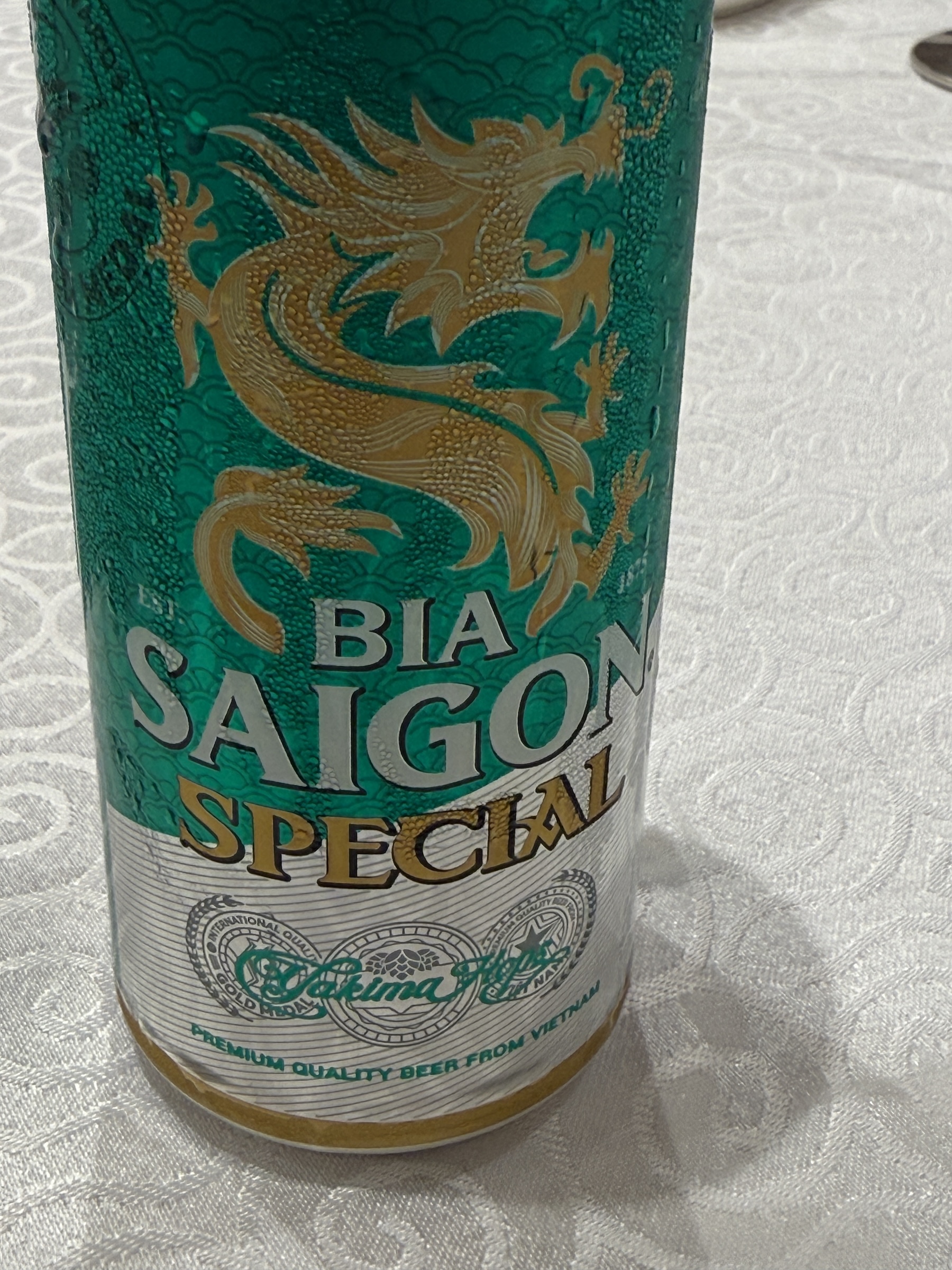
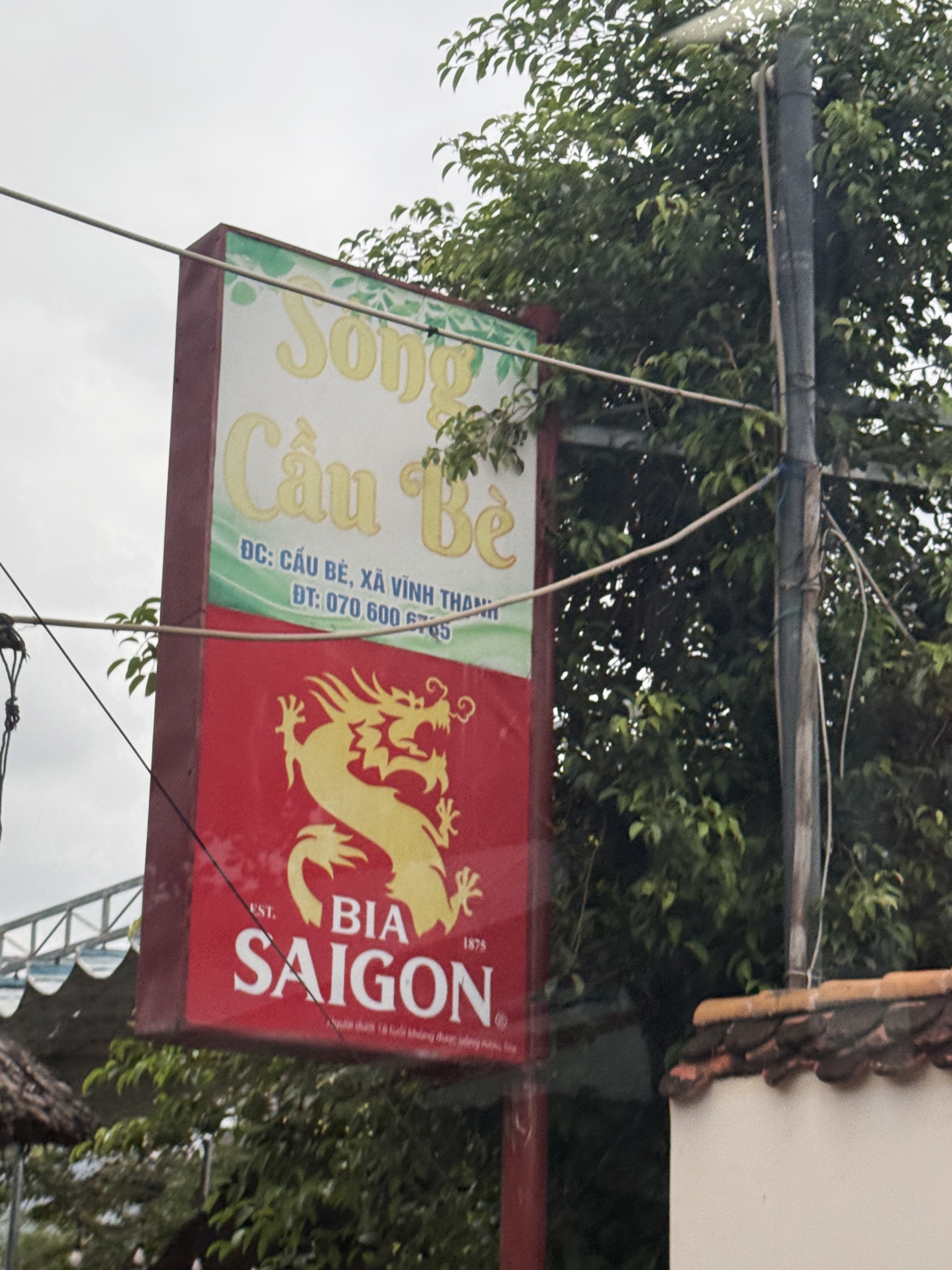
We made a quick stop at a Buddhist Temple, and then went to the swank Windsor Plaza Hotel for lunch. I loved the dragon on my little can of Bia Saigon Special beer.
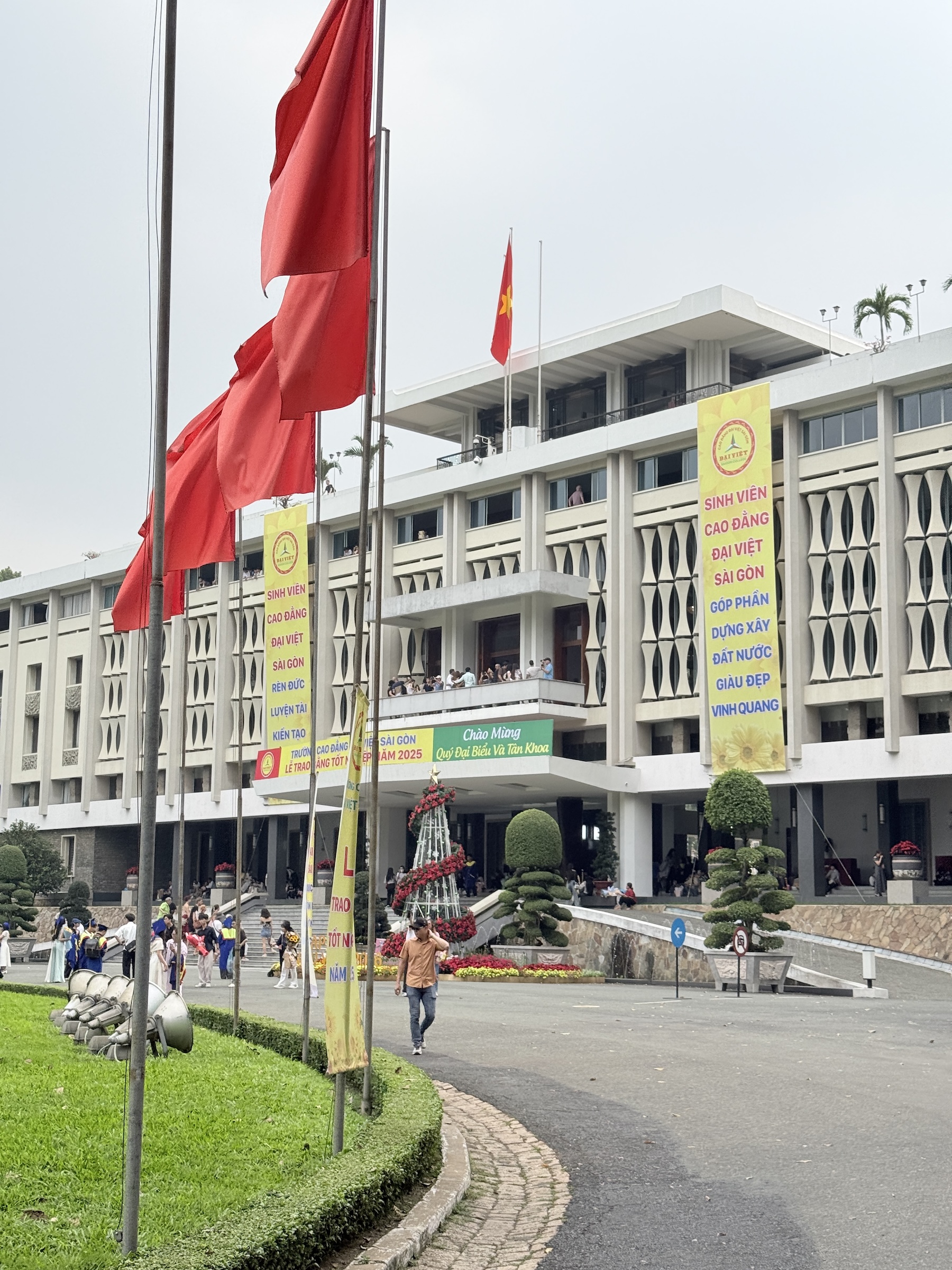
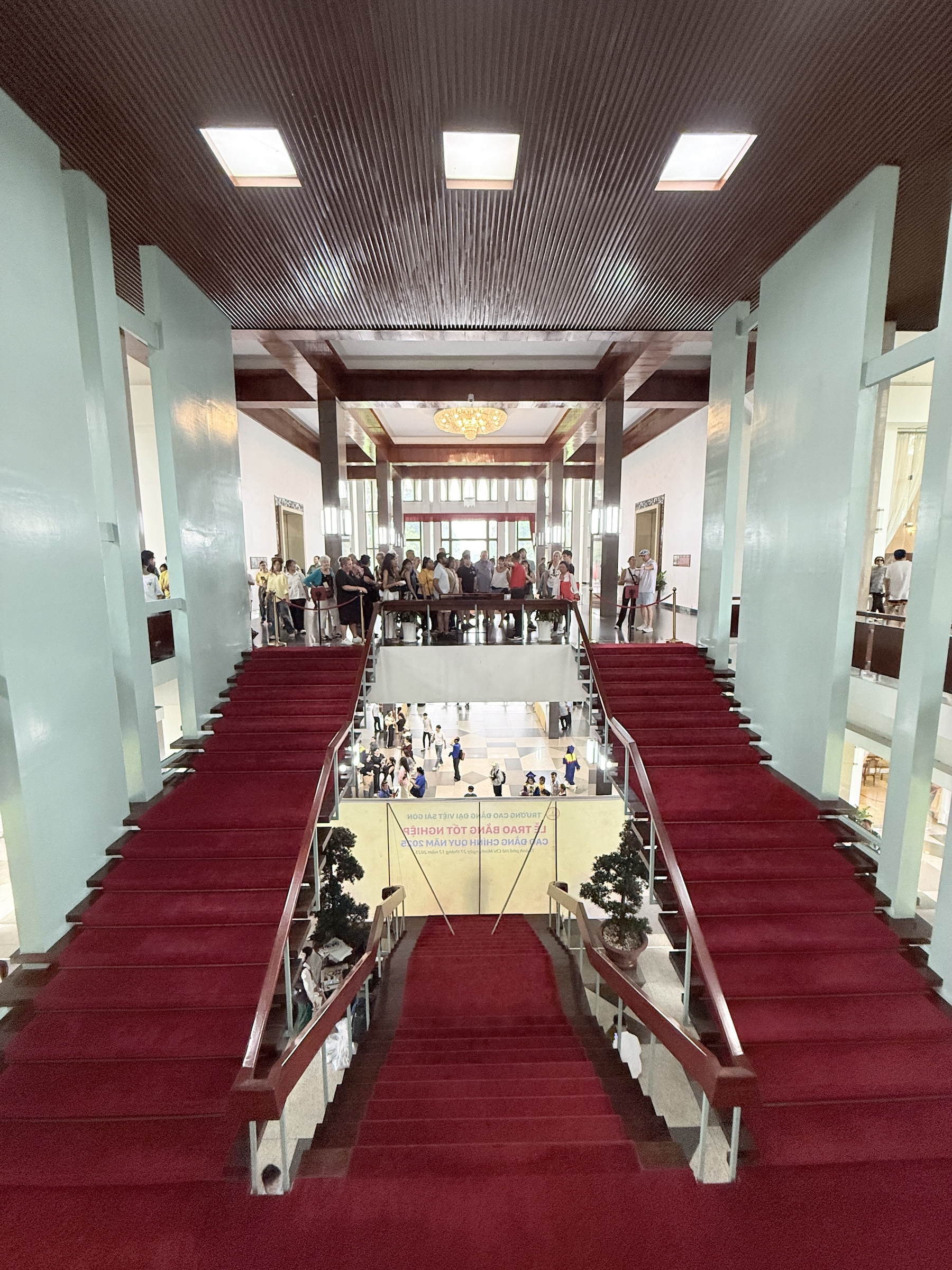
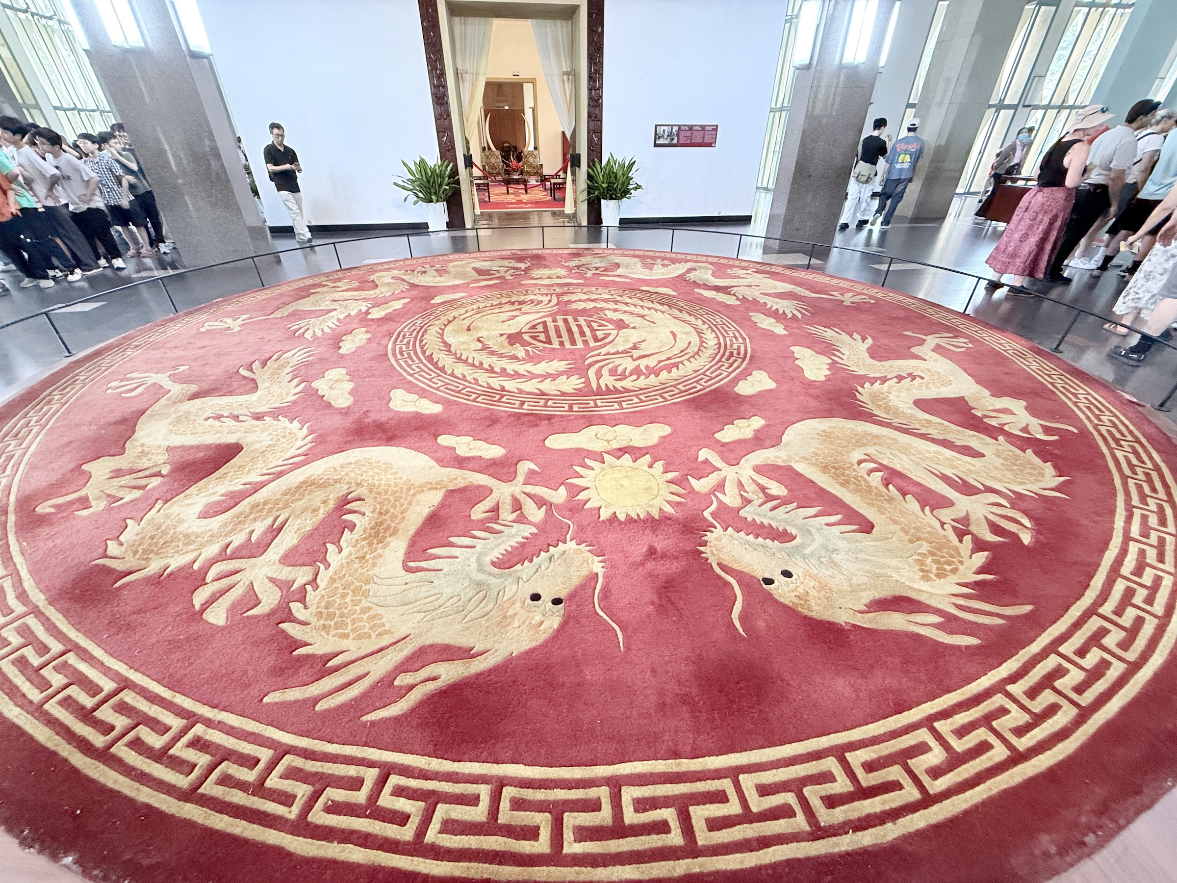
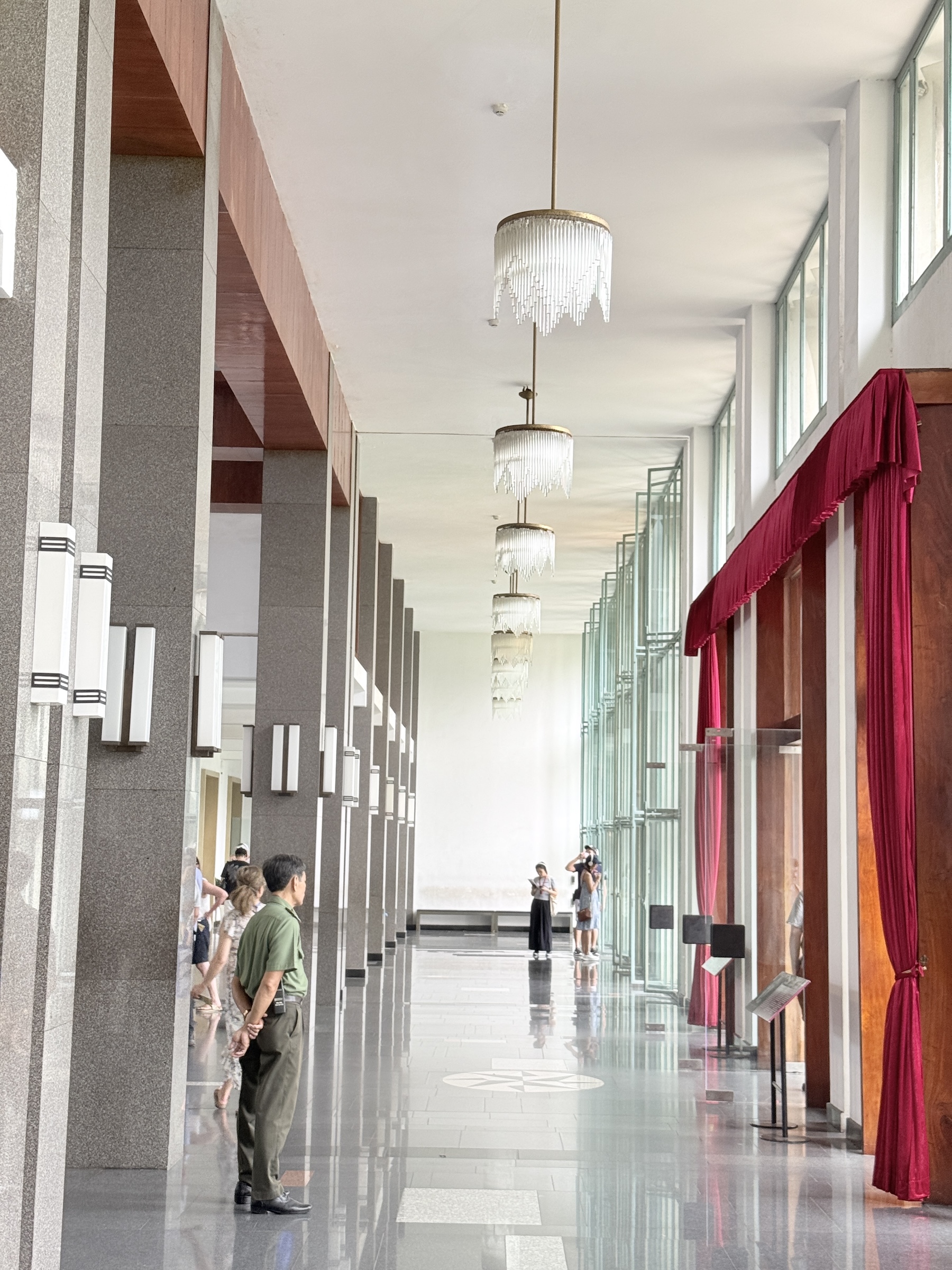
The next stop was at the Independence Palace (also called Reunification Palace) , a building that played a central role in the Viet Nam war. It was designed by architect Ngô Viết Thụ. Construction started in 1962 and it was completed by 1966. It was the home and workplace of the president of the Republic of Vietnam (South Vietnam).
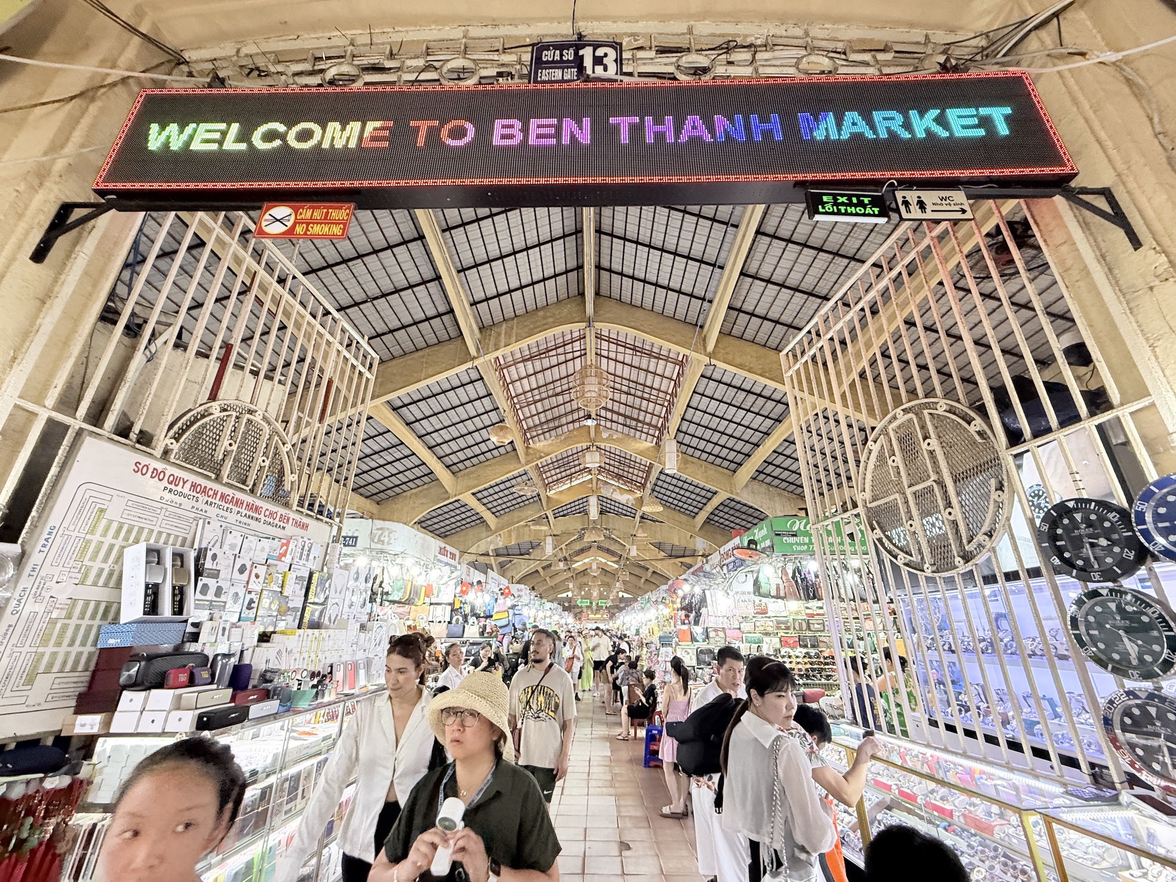
The final stop for the day was at Ben Thanh market.
It has some 1,500 booths inside and it was crowded, so I went outside and took a few pictures instead.


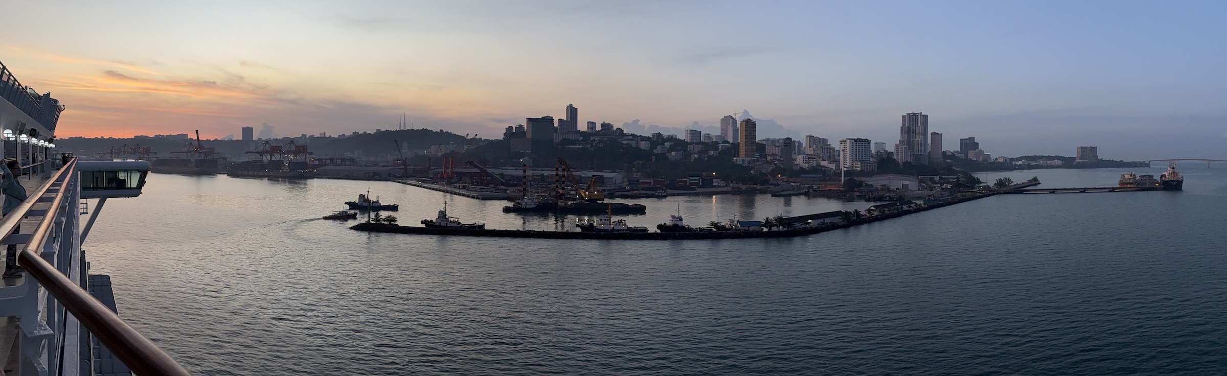
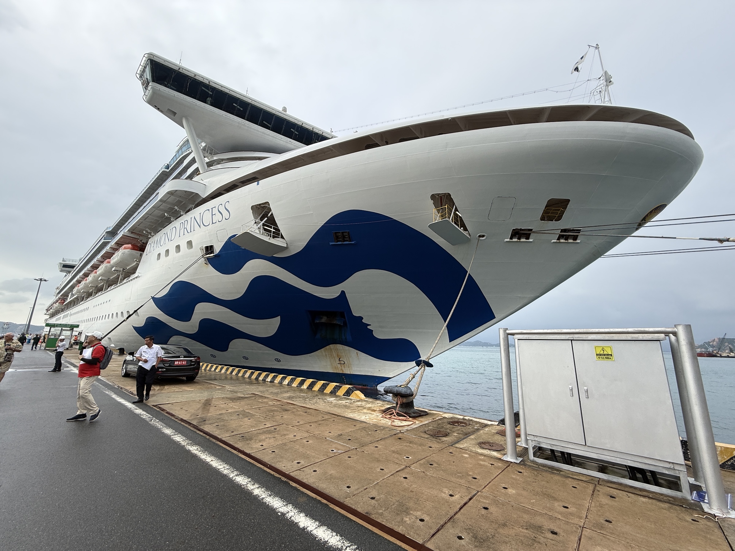
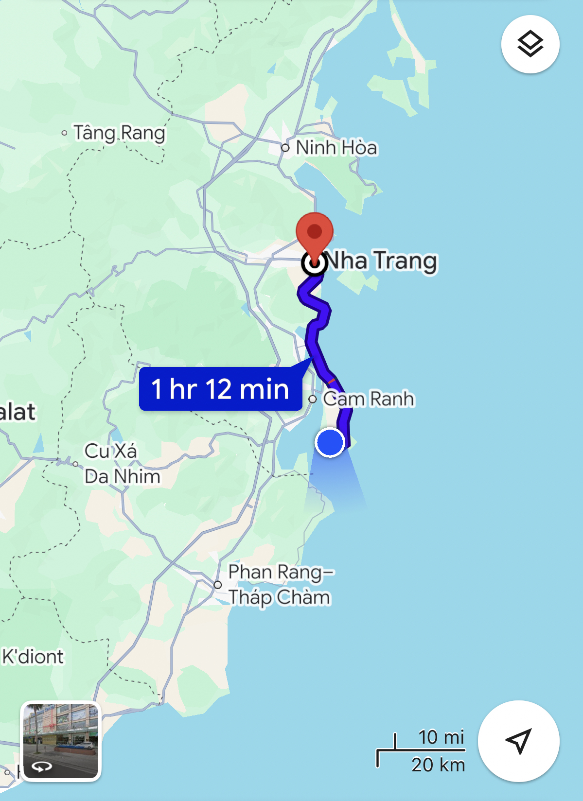
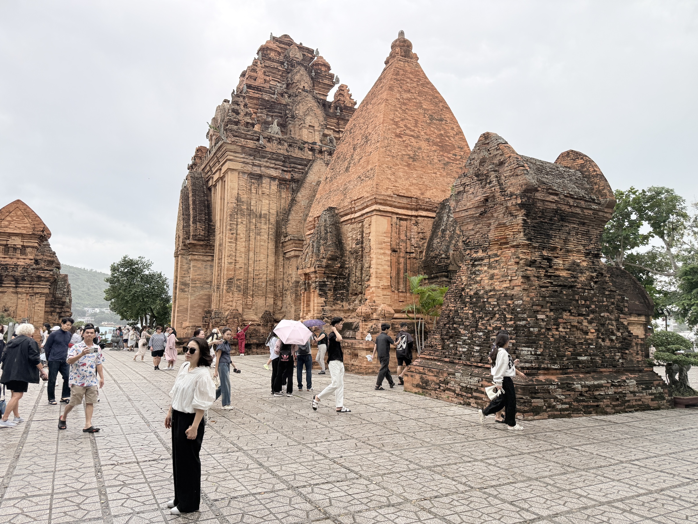
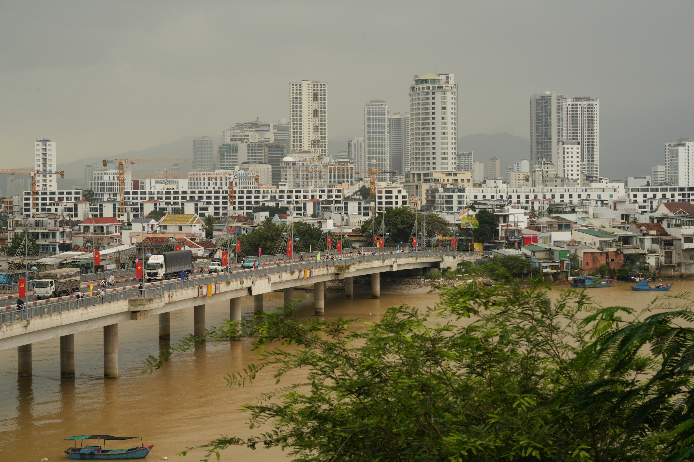
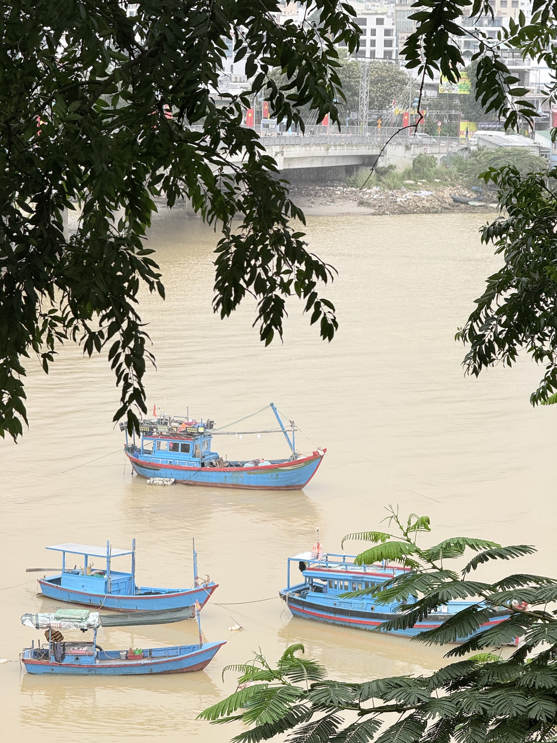
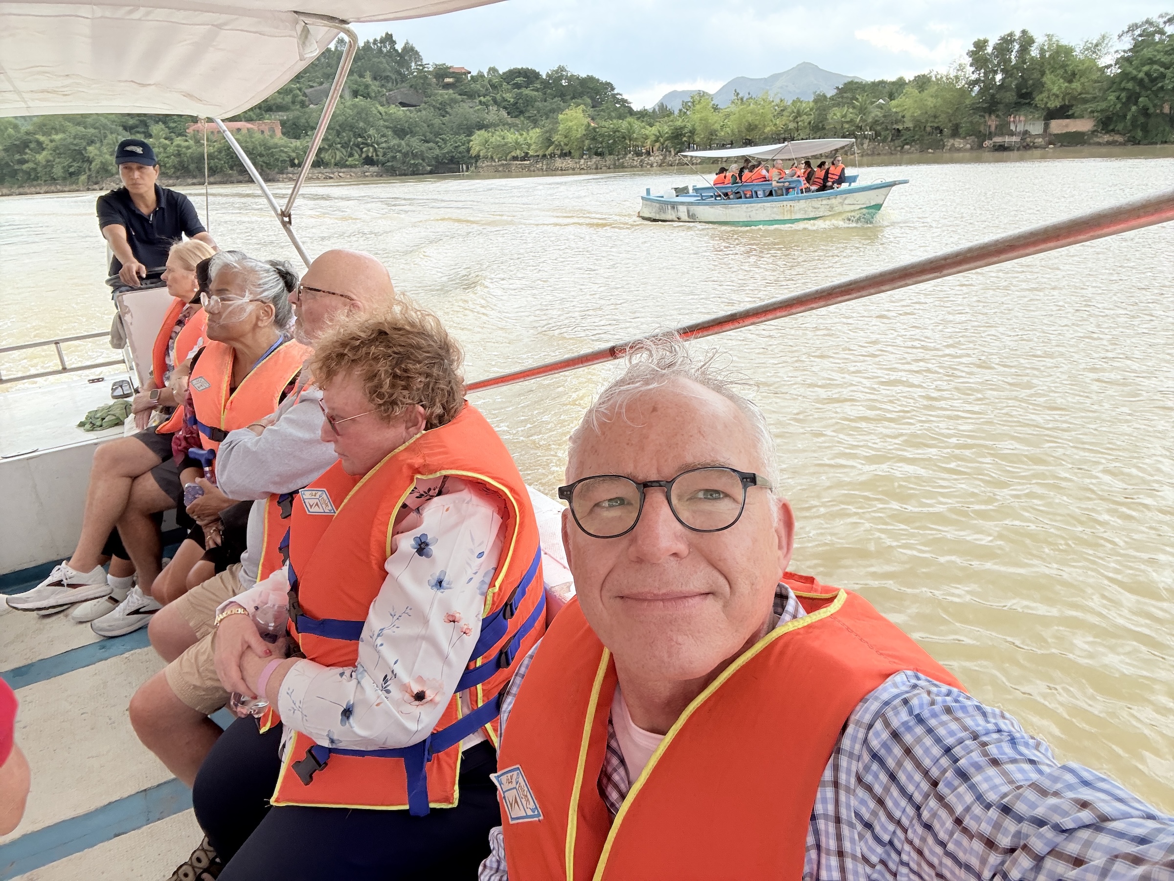
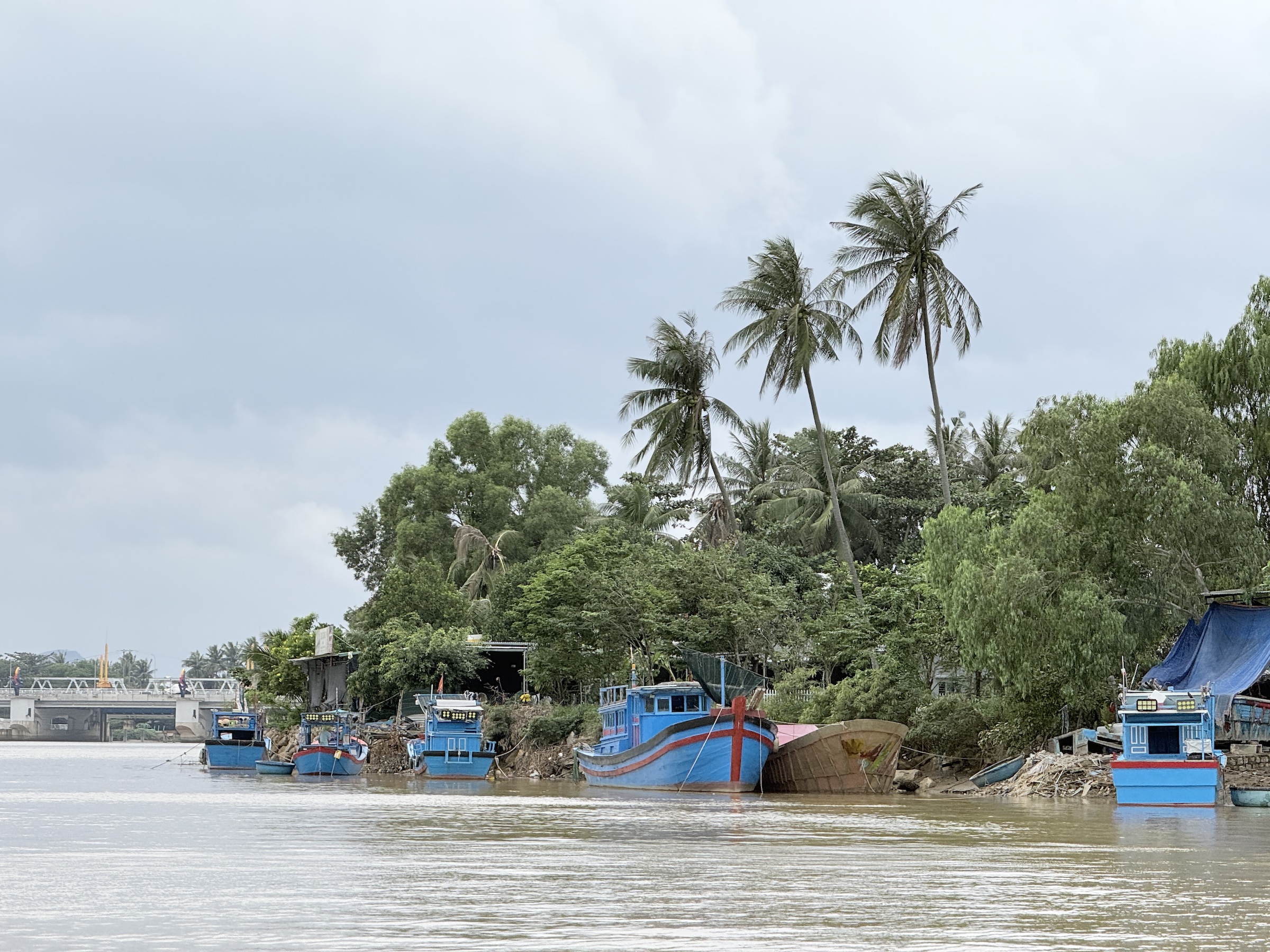
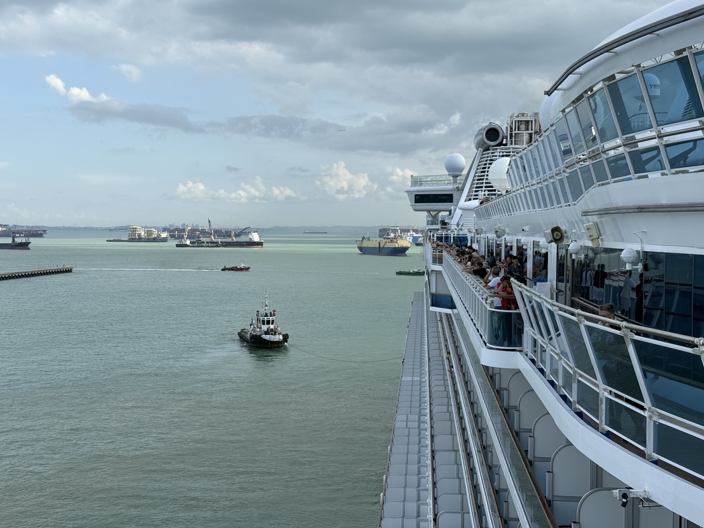
The Diamond Princess arrived at the pier in Cam Ranh at 7 am this morning.
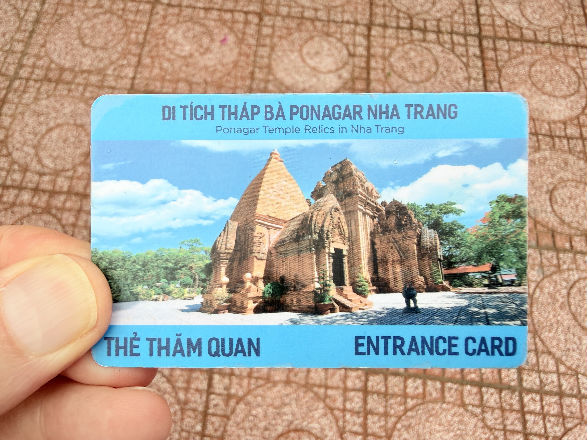
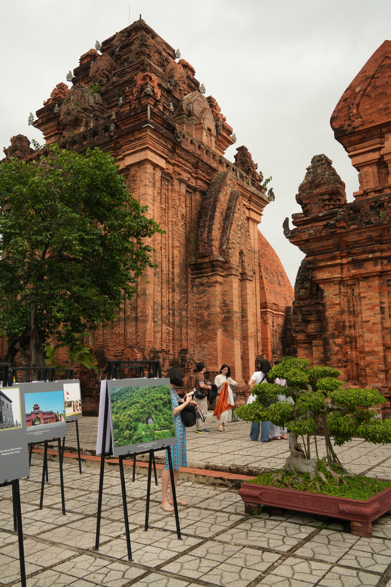
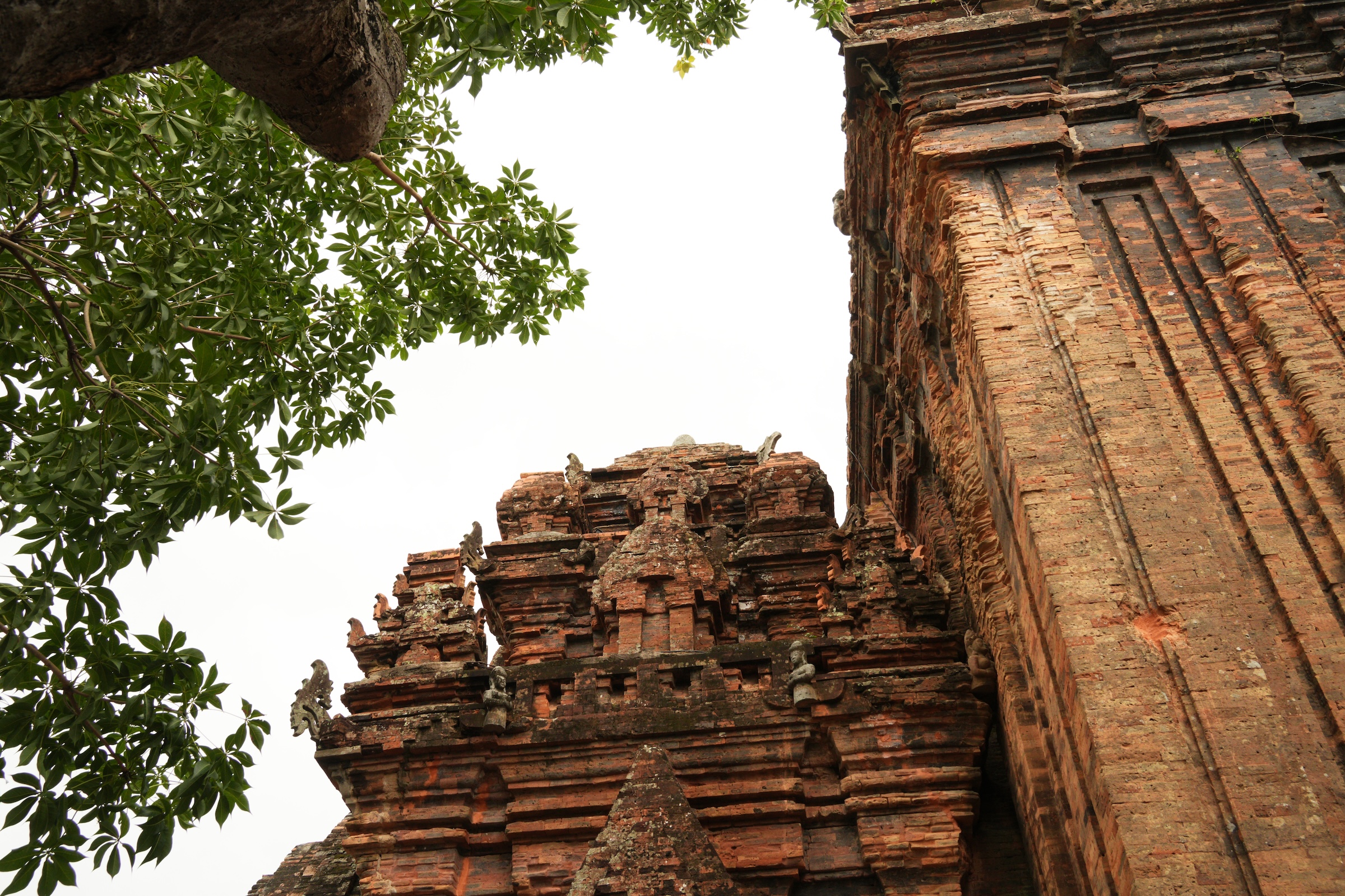
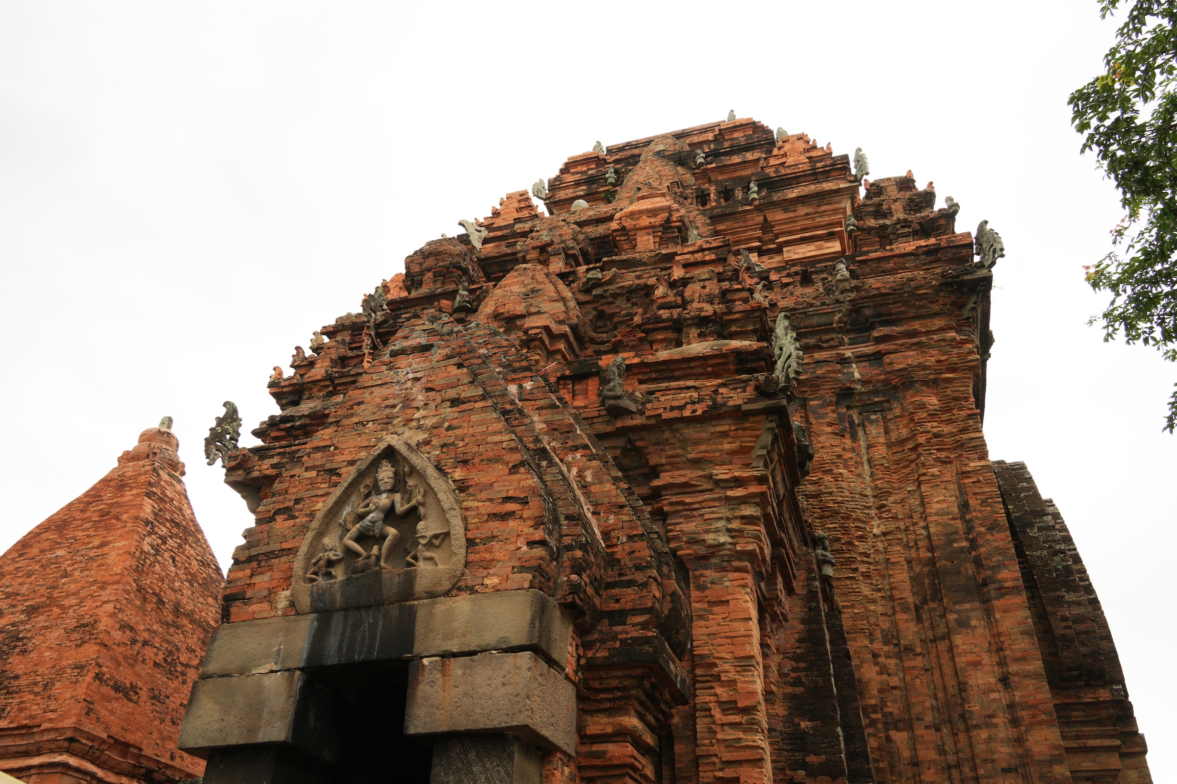
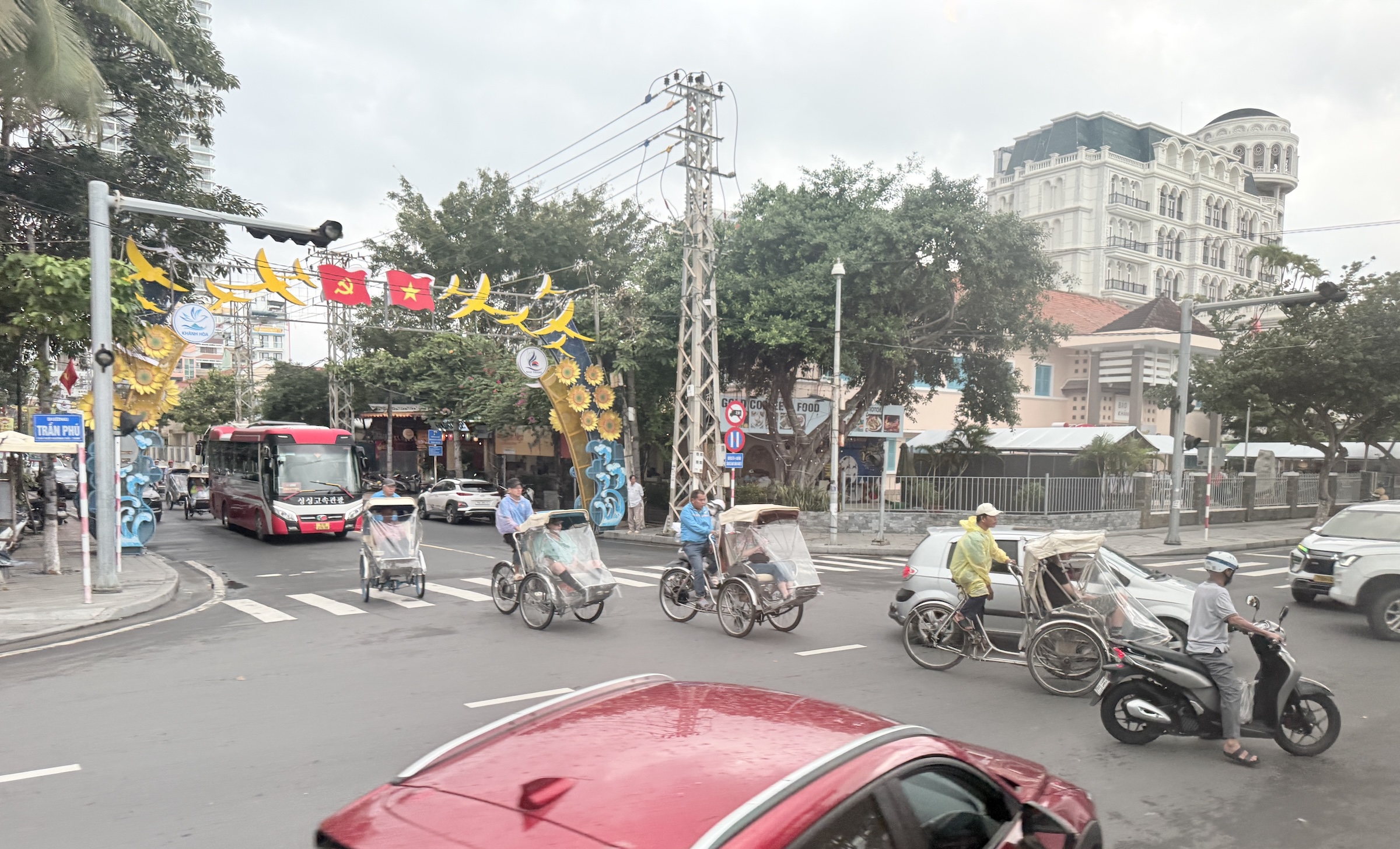
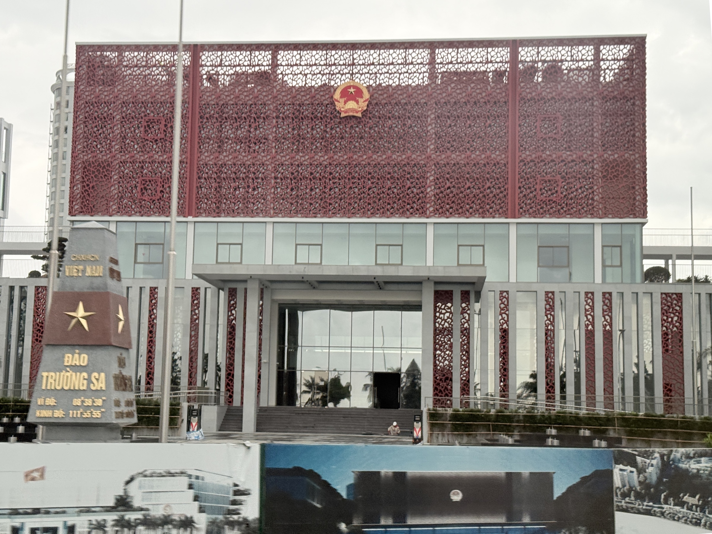
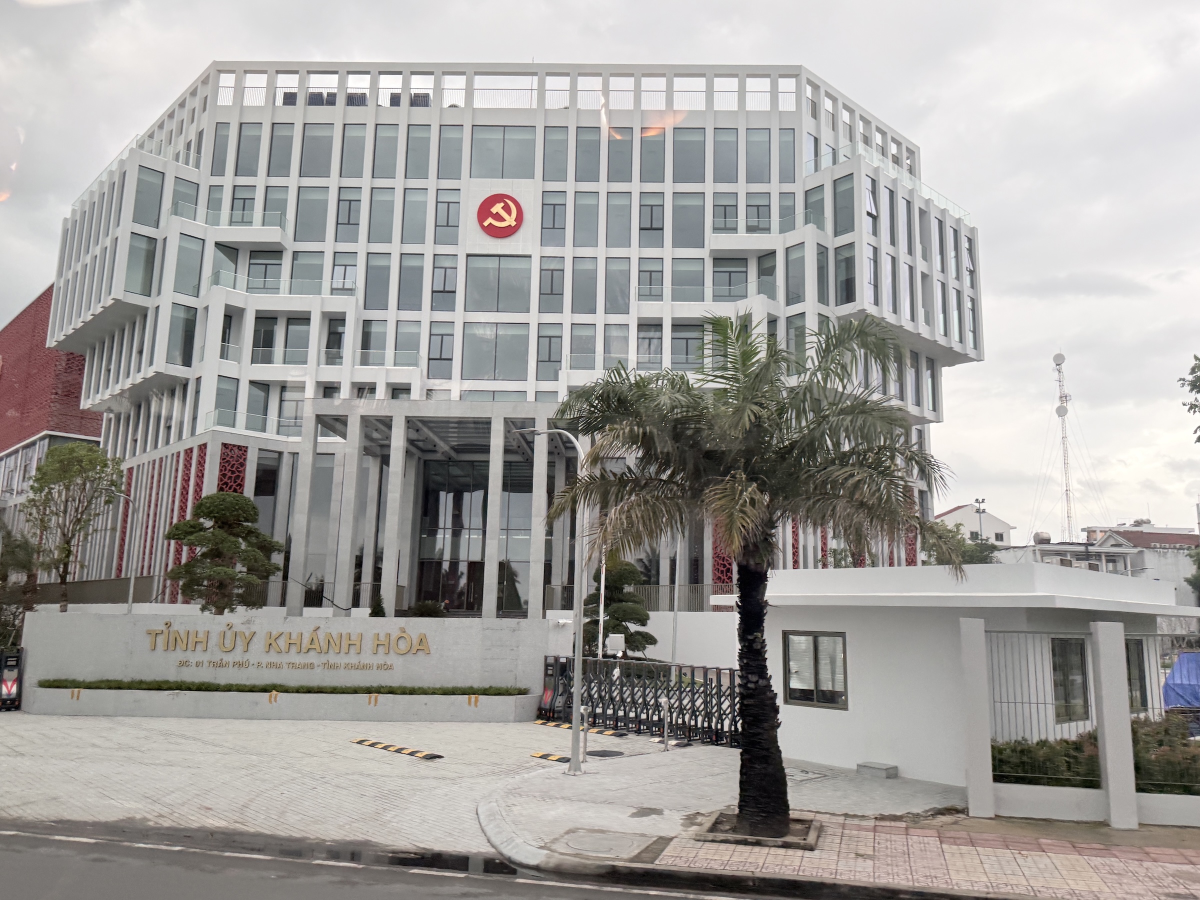
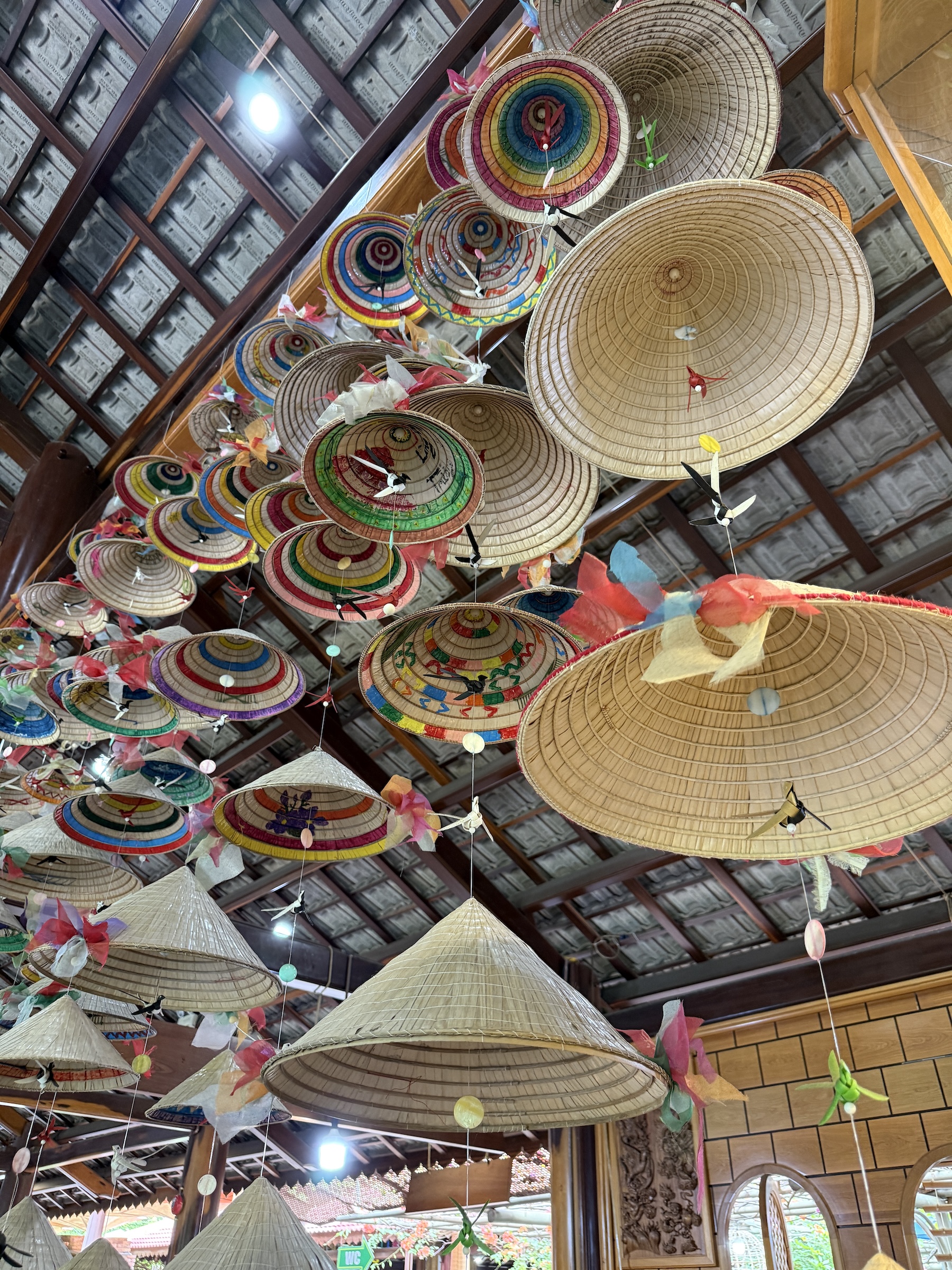
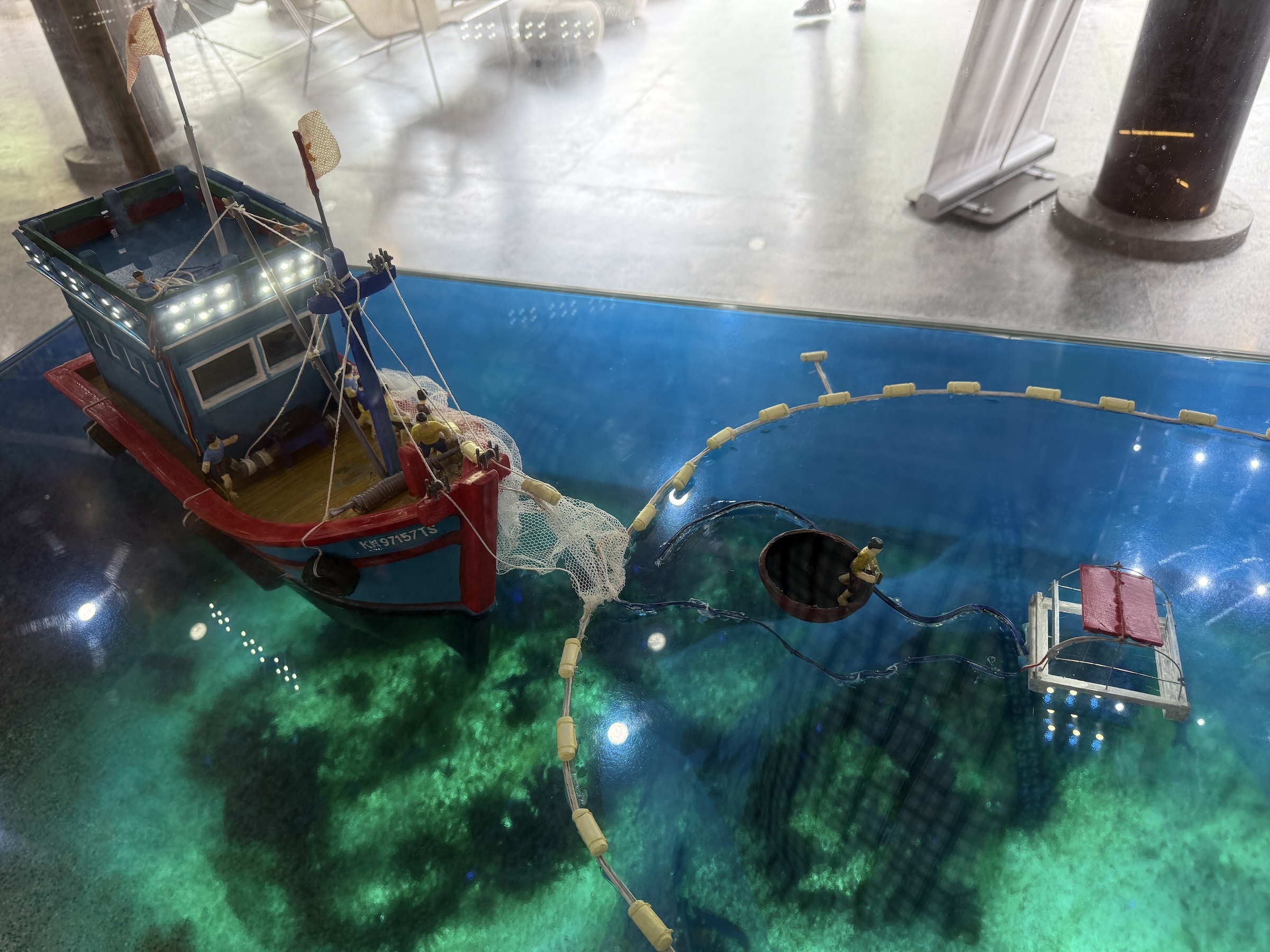
My coach bus excursion to Nha Trang was a whirlwind tour consisting of a visit to Po Nagar Temple, a short cruise on Cai River, and visits to an ancient house built from ebony wood, a mat weaving shop and an arts & crafts market.
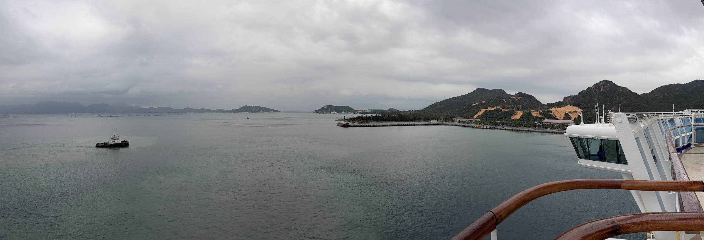
The Diamond Princess was still plying her way through the waters of the South China Sea towards the port of Cam Ranh today.
We are due in at 7 am in the morning.
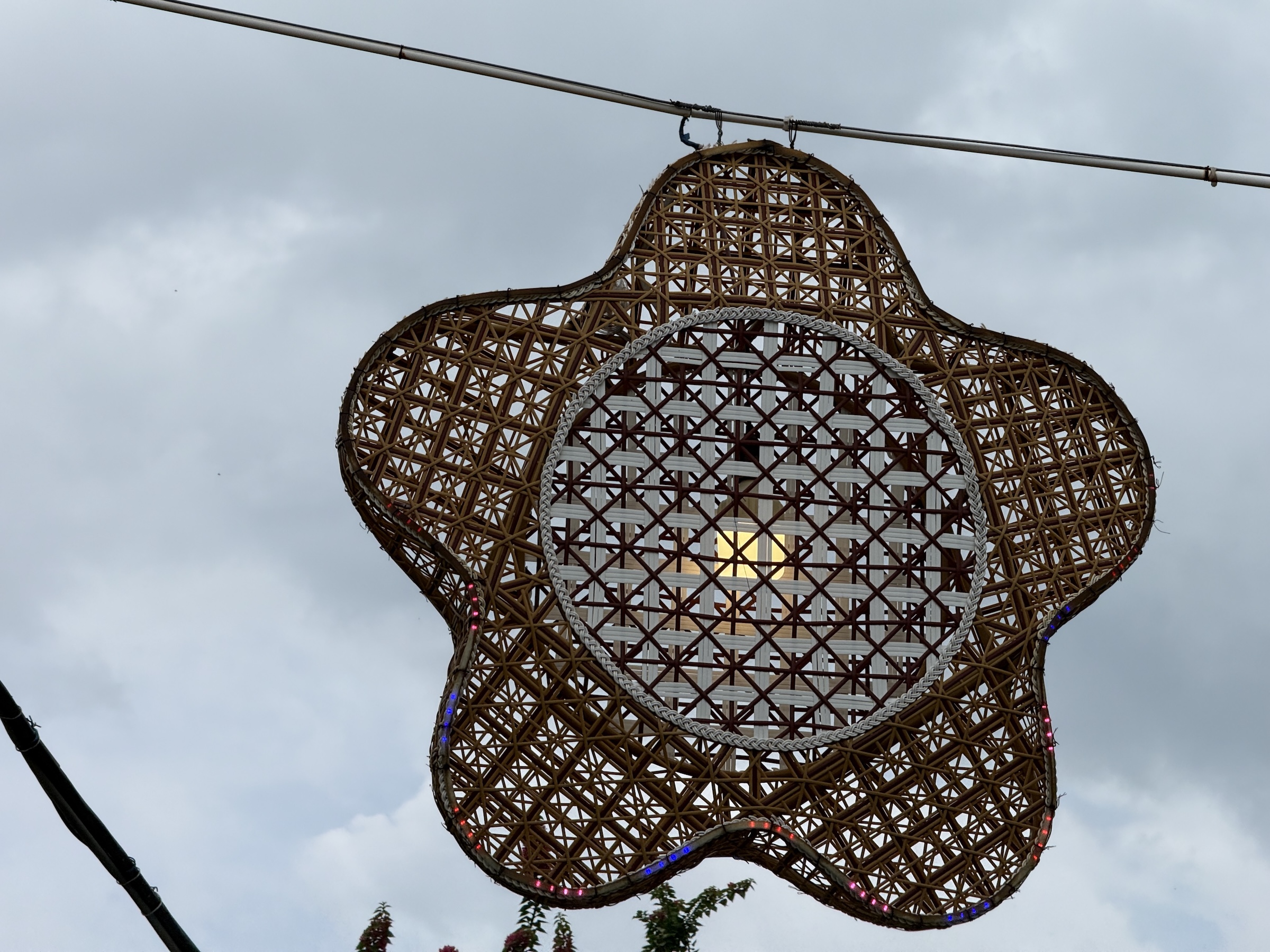
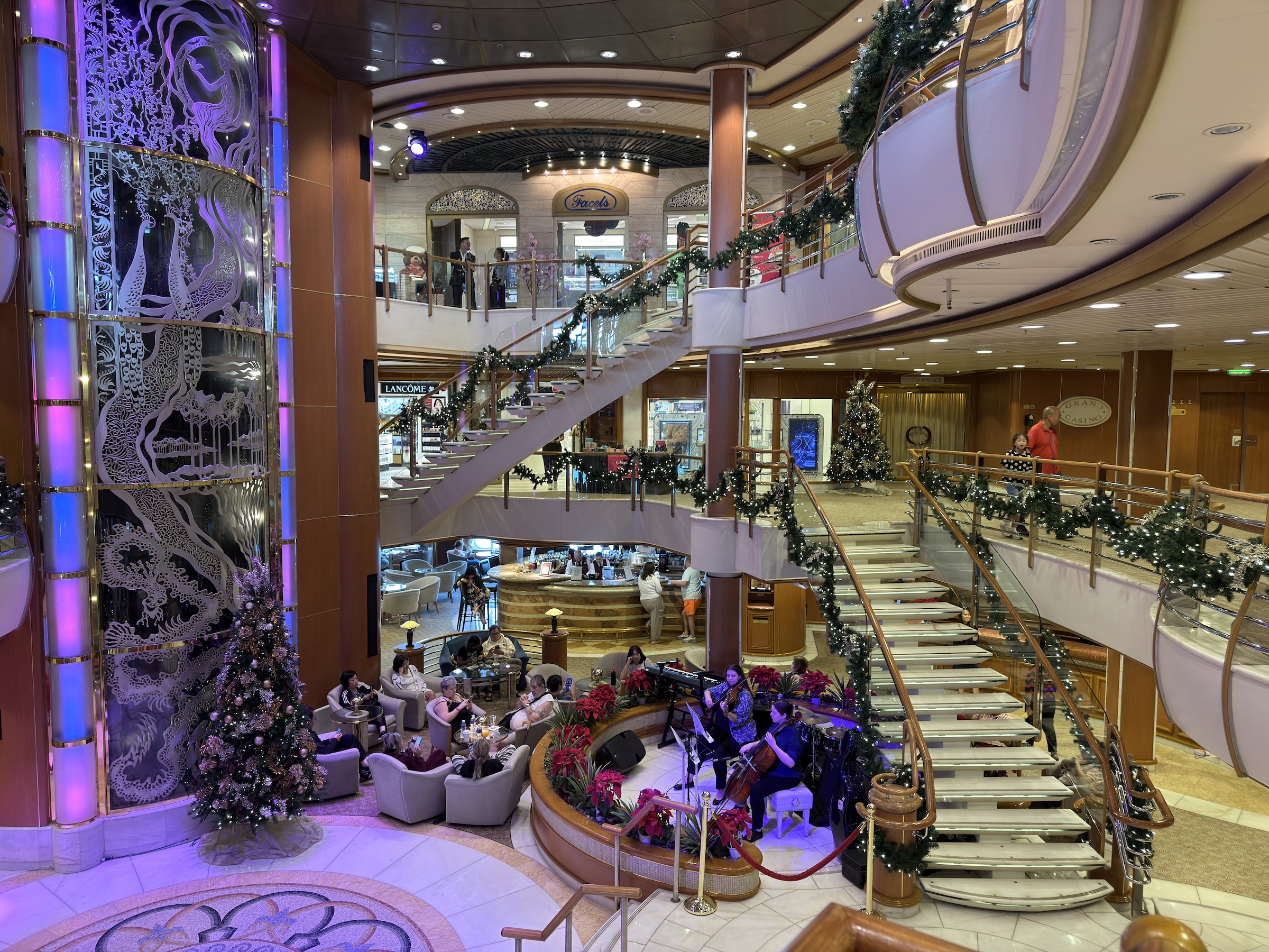
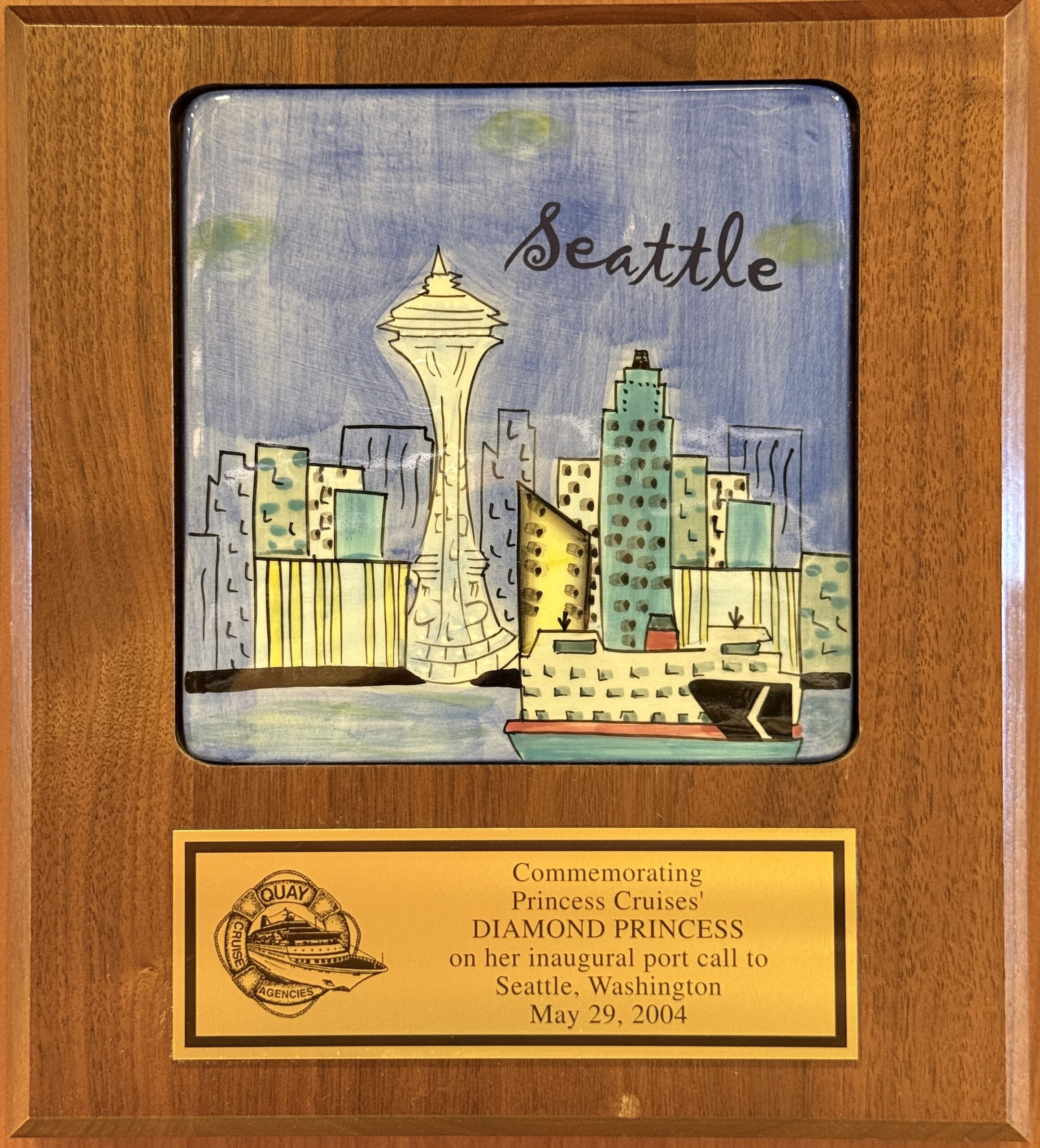
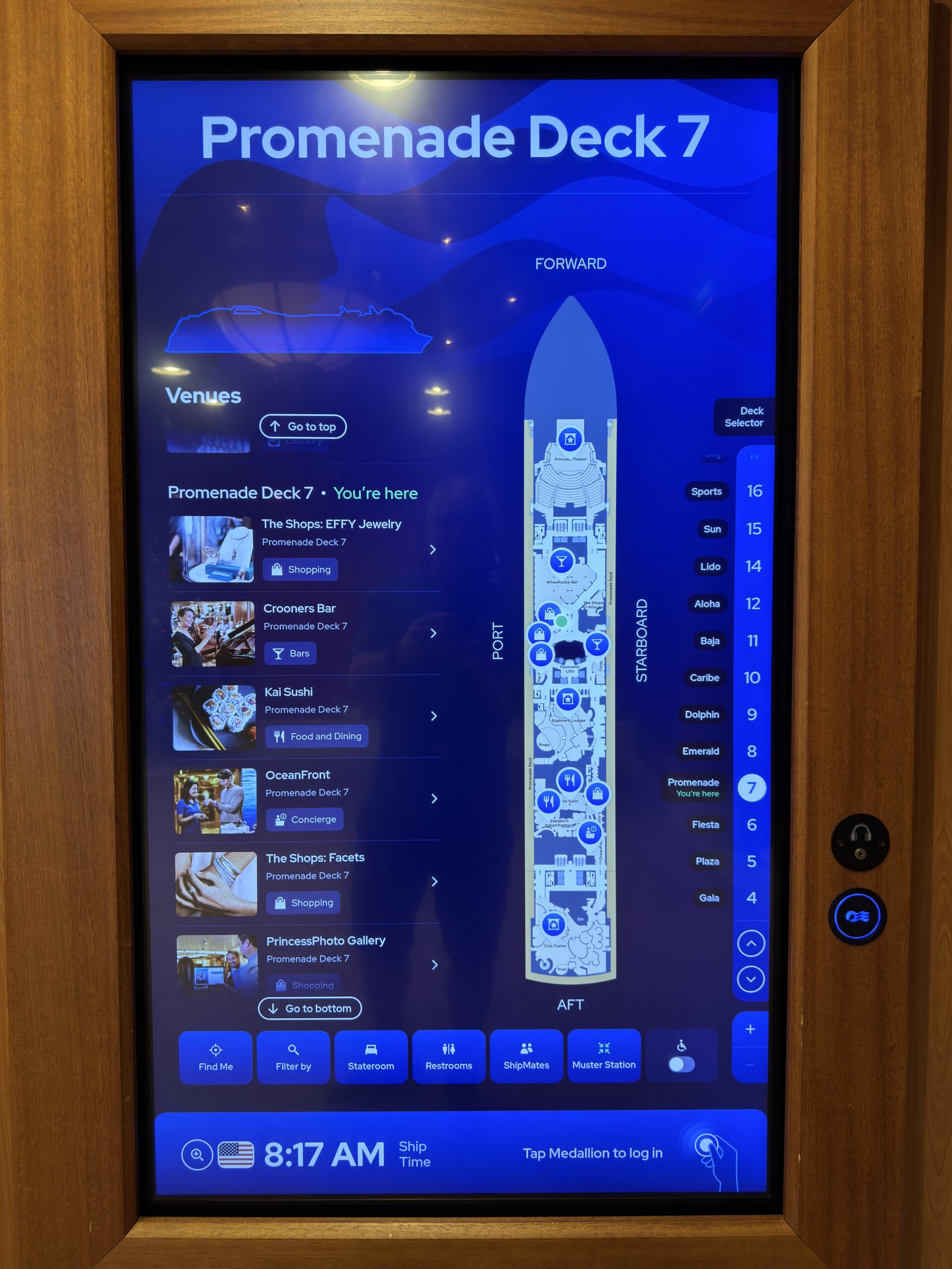
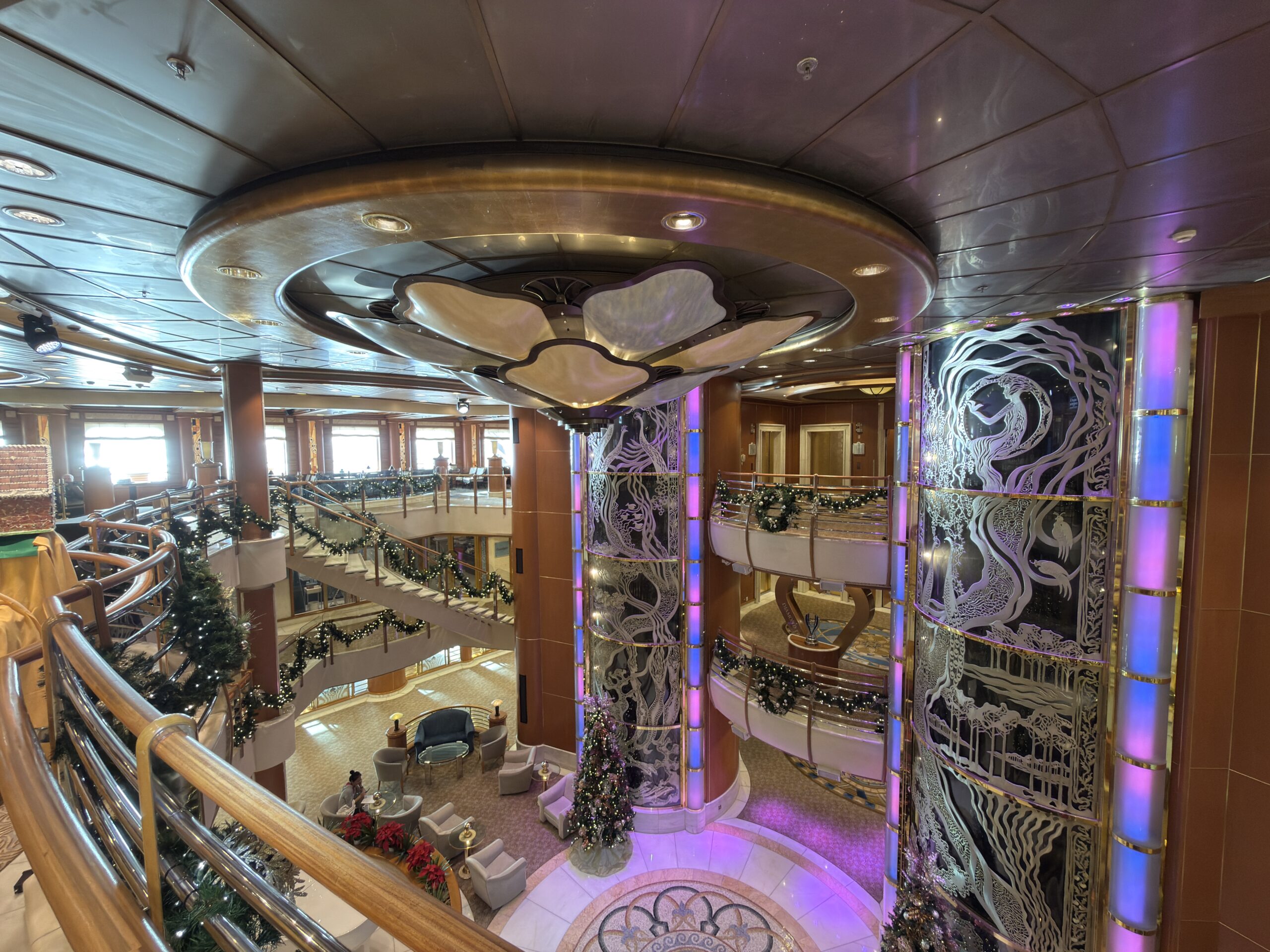
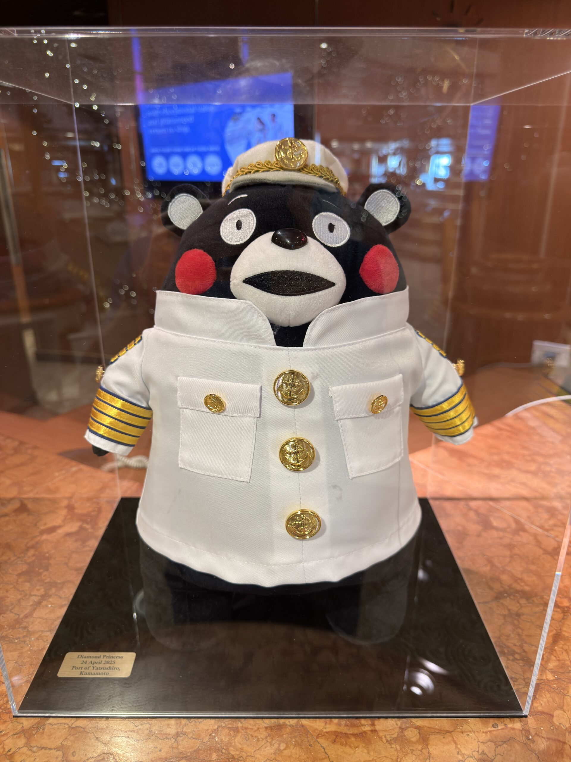
The plaques with artwork on them are from the walls on the Promenade Deck. They commemorate the dates when the Diamond Princess called ports around the world.
The inaugural call for the Port of Seattle was May 29, 2004. This is the very year she was delivered from the shipyard of Mitsubishi Heavy Industries in Tokyo, Japan to the cruise line.
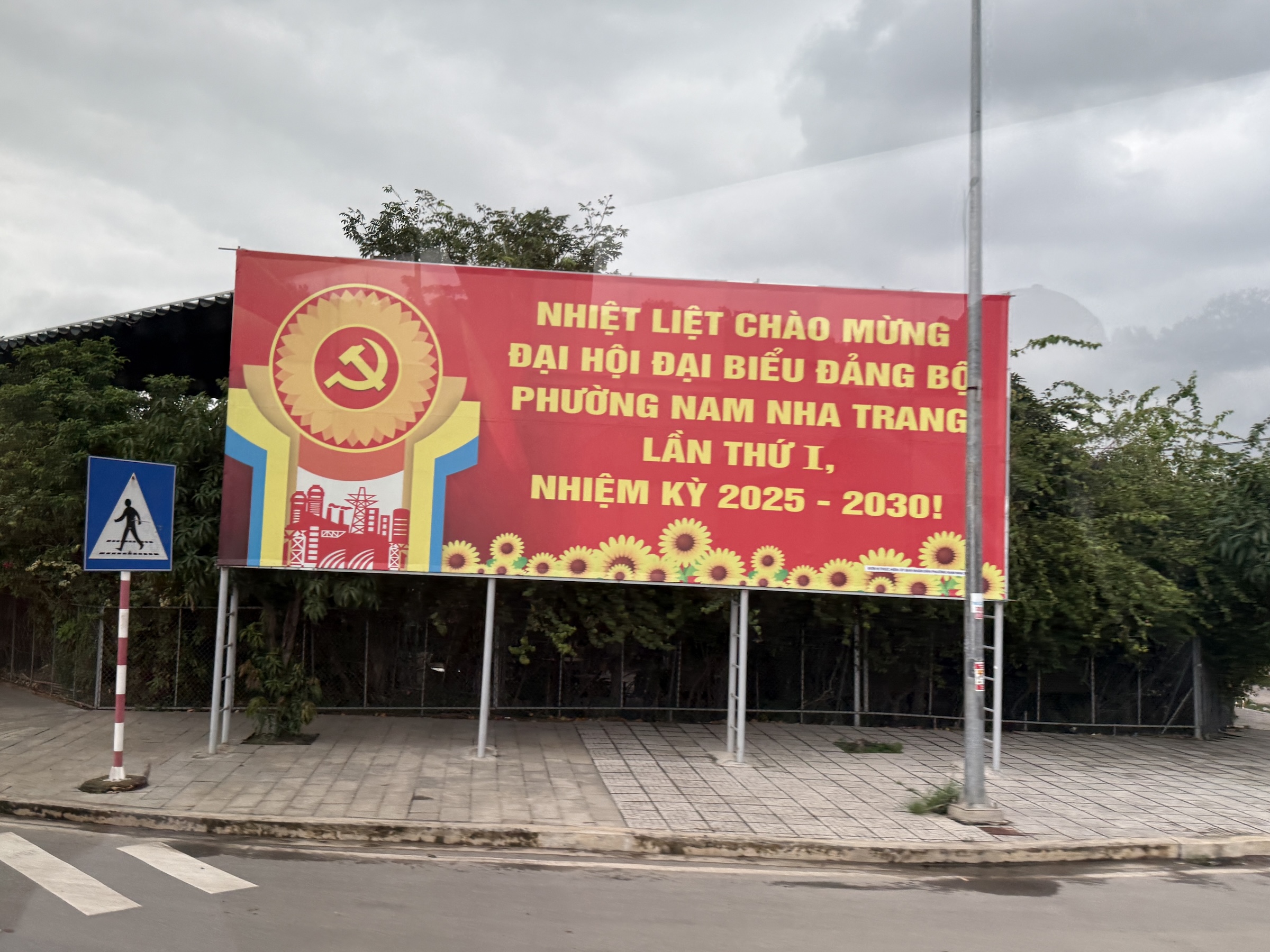
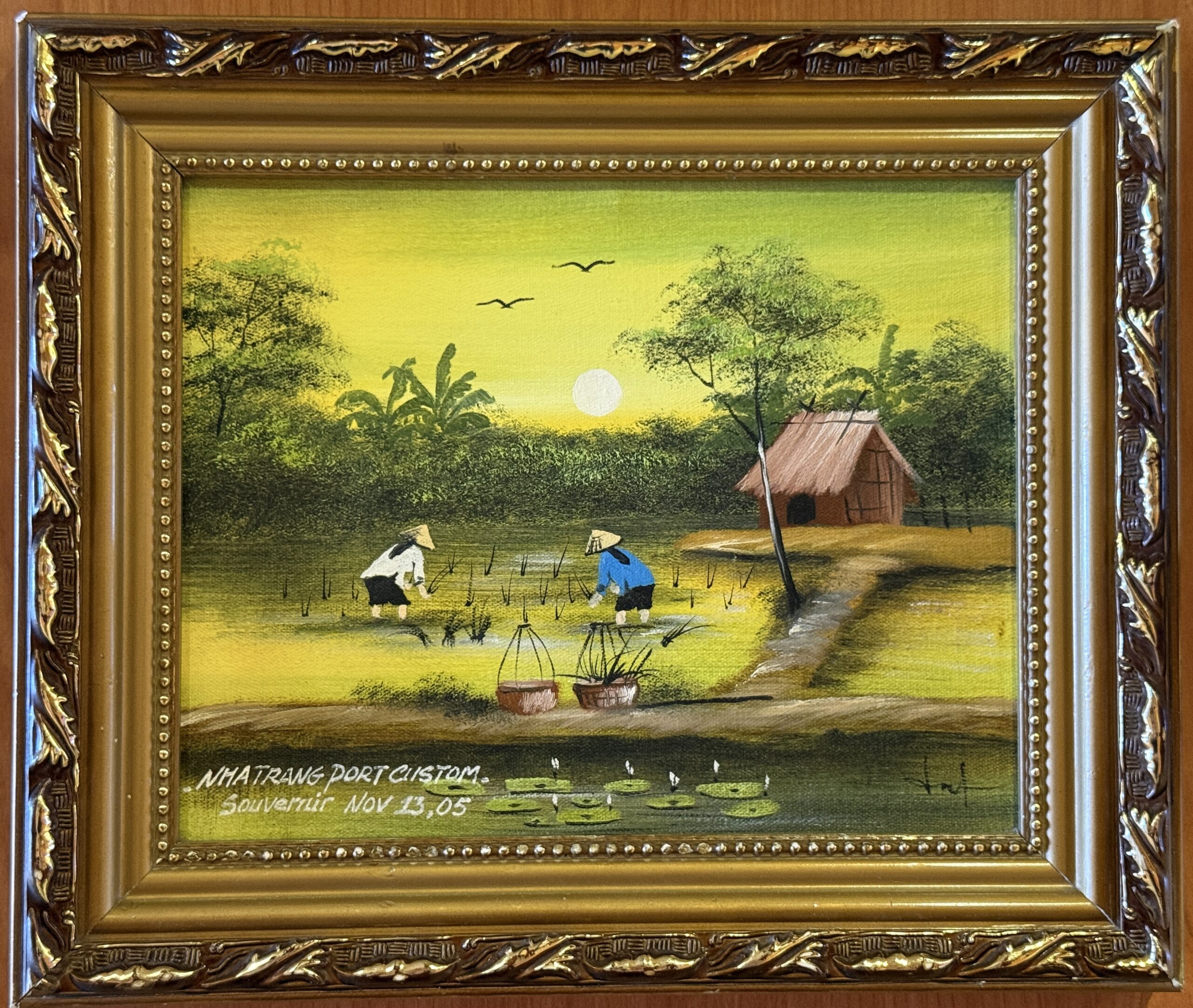
The other two plaques are from Nha Trang. (Passenger cruise ships stopped calling directly at Nha Trang’s main port starting around late September 2024. The pier was closed for urgent repairs and safety issues, forcing cancellations and rerouting to alternatives like Cam Ranh Port. Some ships are scheduled for returns for 2026 after the completion of the repairs.)

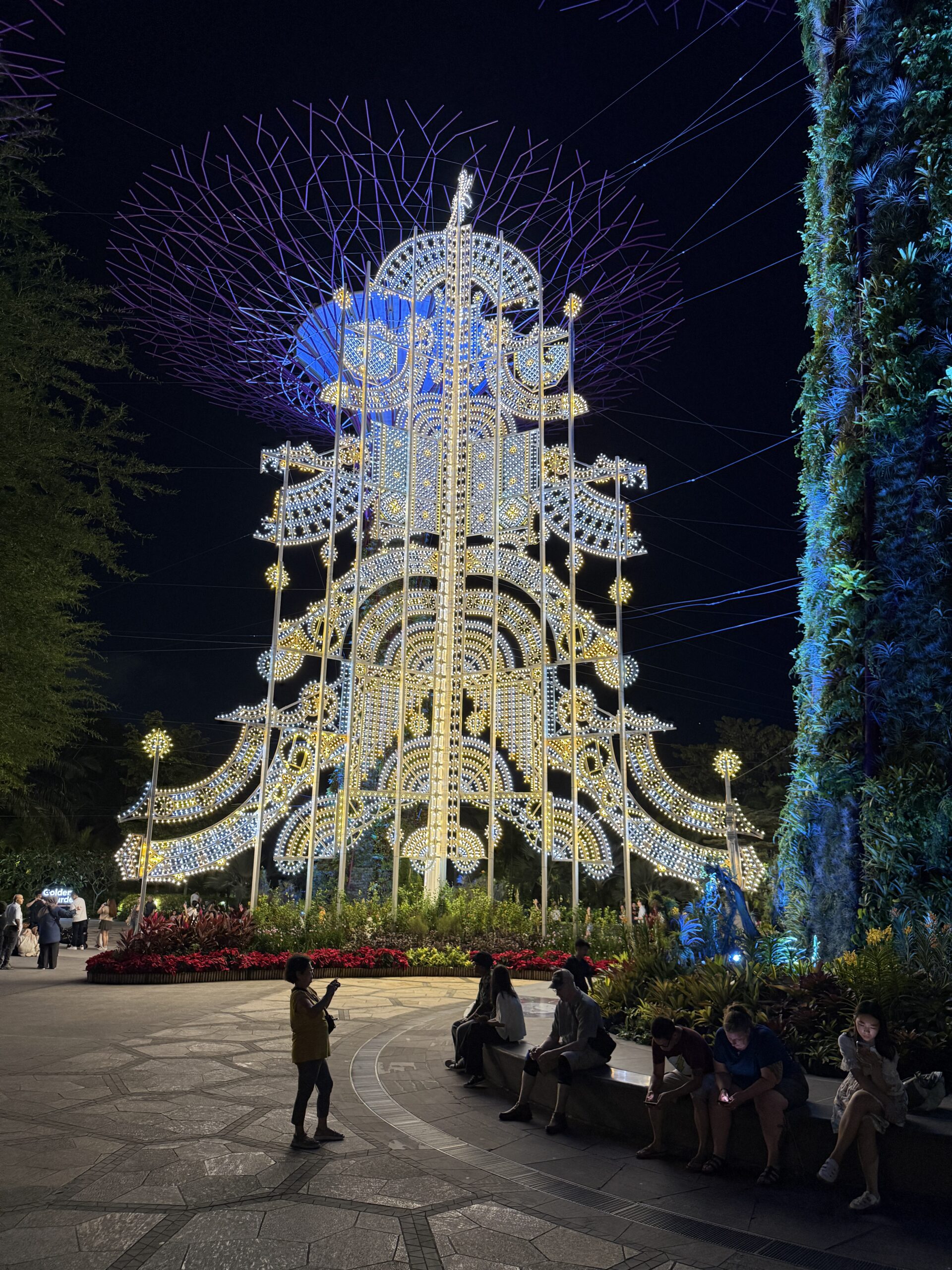
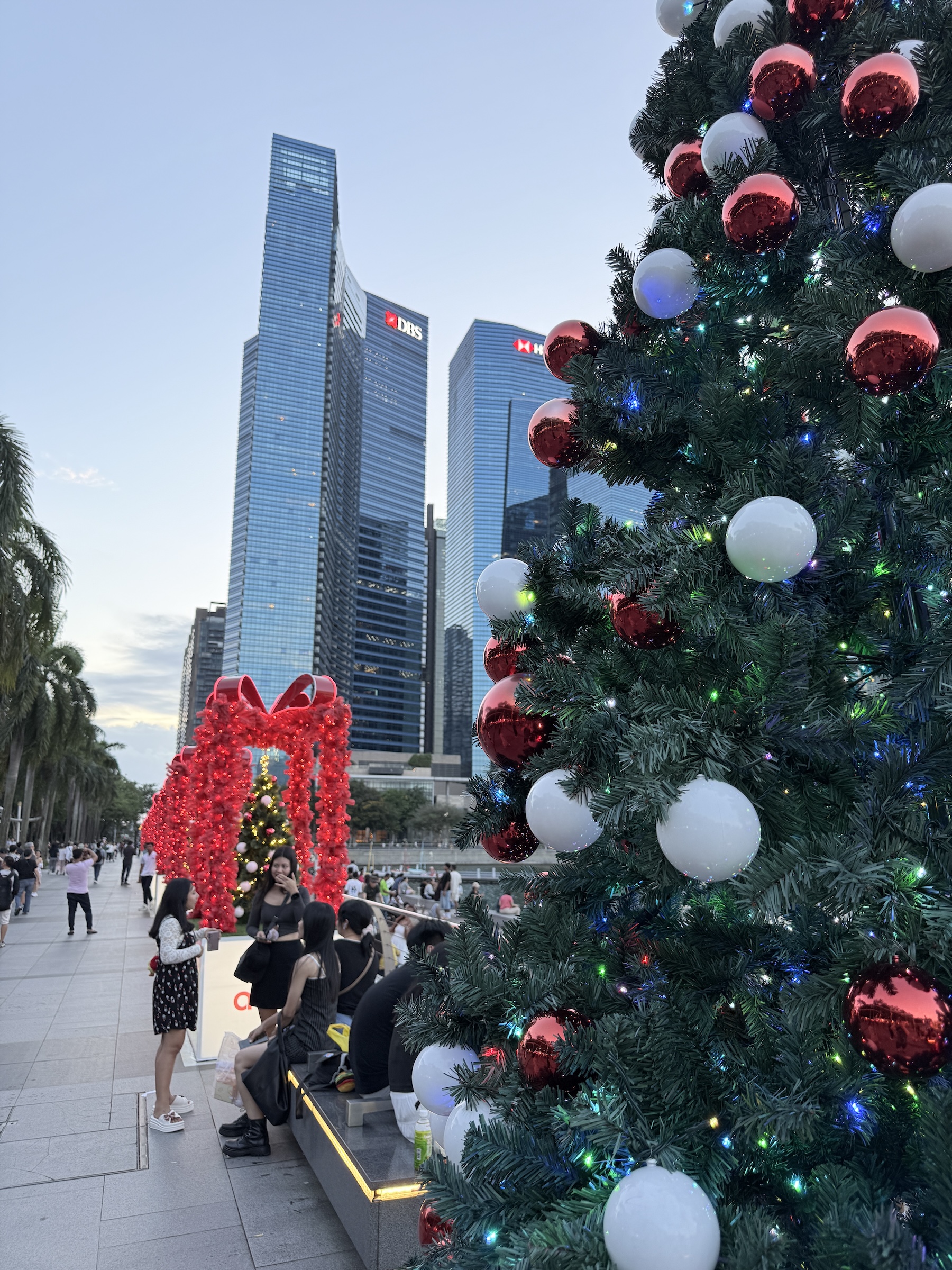
Merry Christmas.
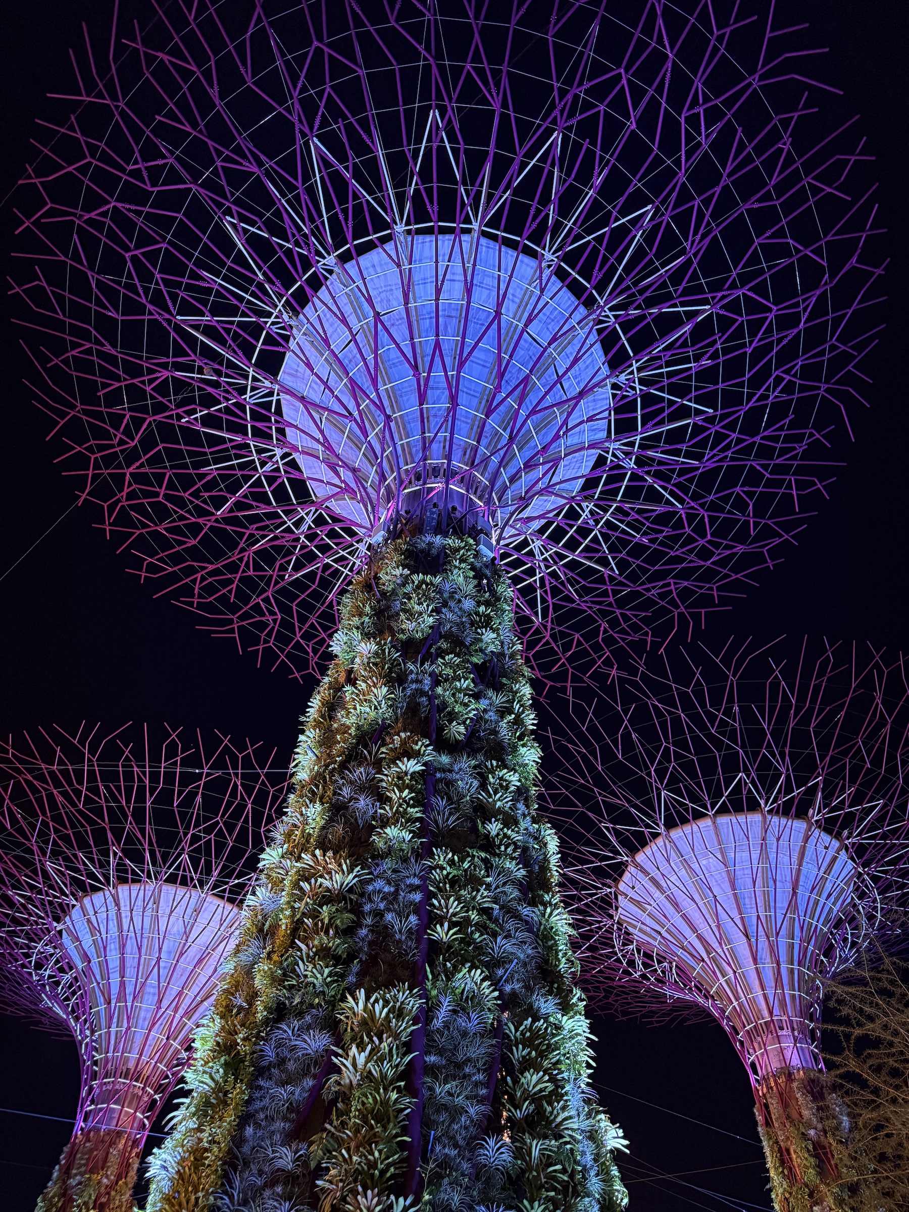
This beautiful Christmas tree of lights is from the Gardens By The Bay in Singapore.
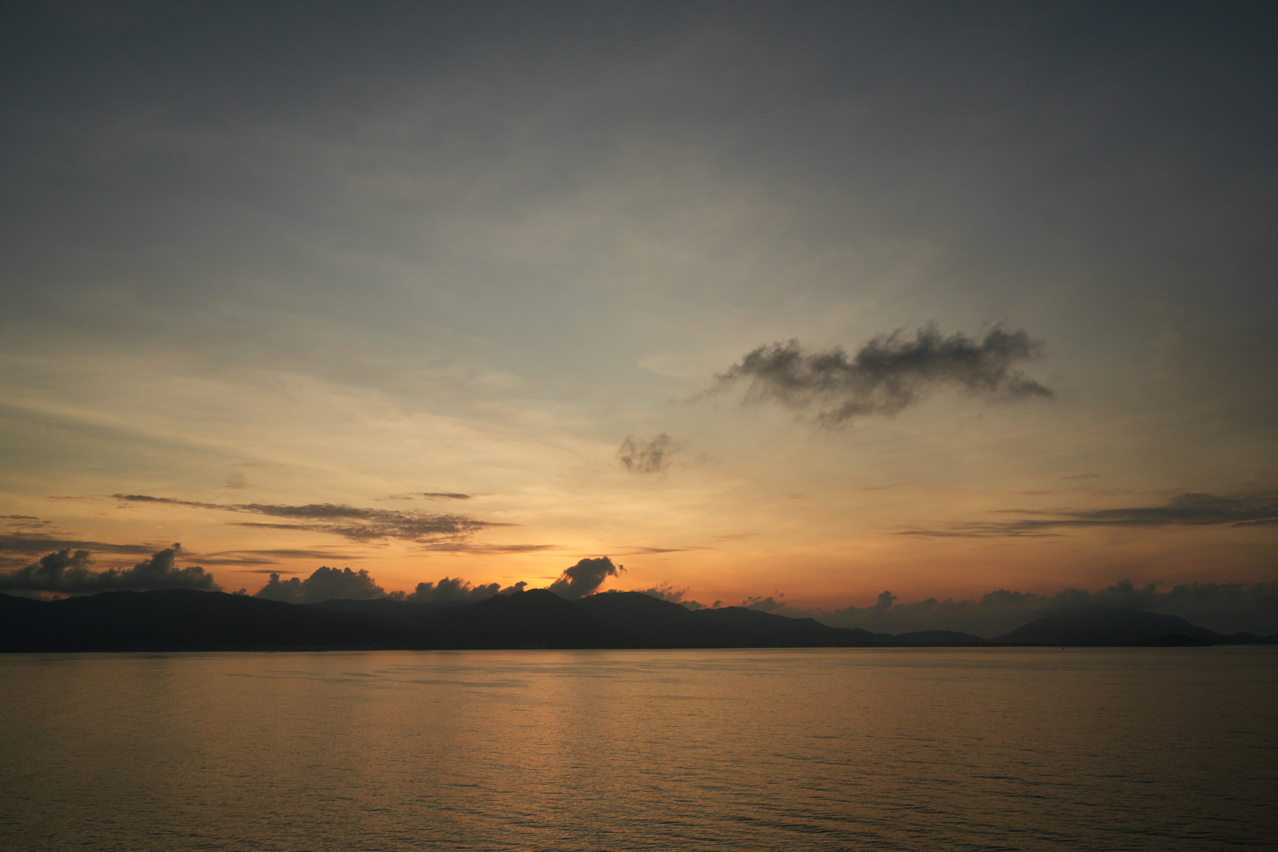
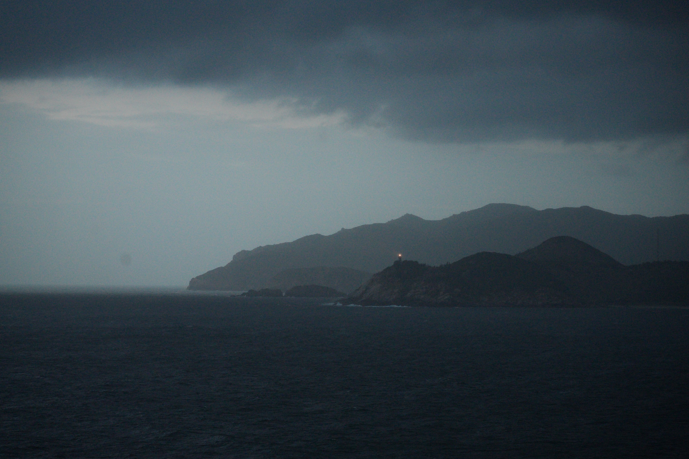
The Diamond Princess is making her way northwards across the South China Sea towards Cam Ranh Bay— the large and deep natural harbor on Vietnam’s south-central coast.
Cam Ranh is famous for its strategic military history as a major US naval and air base during the Vietnam War.
Fifty years on, it is now a developing tourism spot with beautiful beaches like Bai Dai and proximity to the city of Nha Trang.
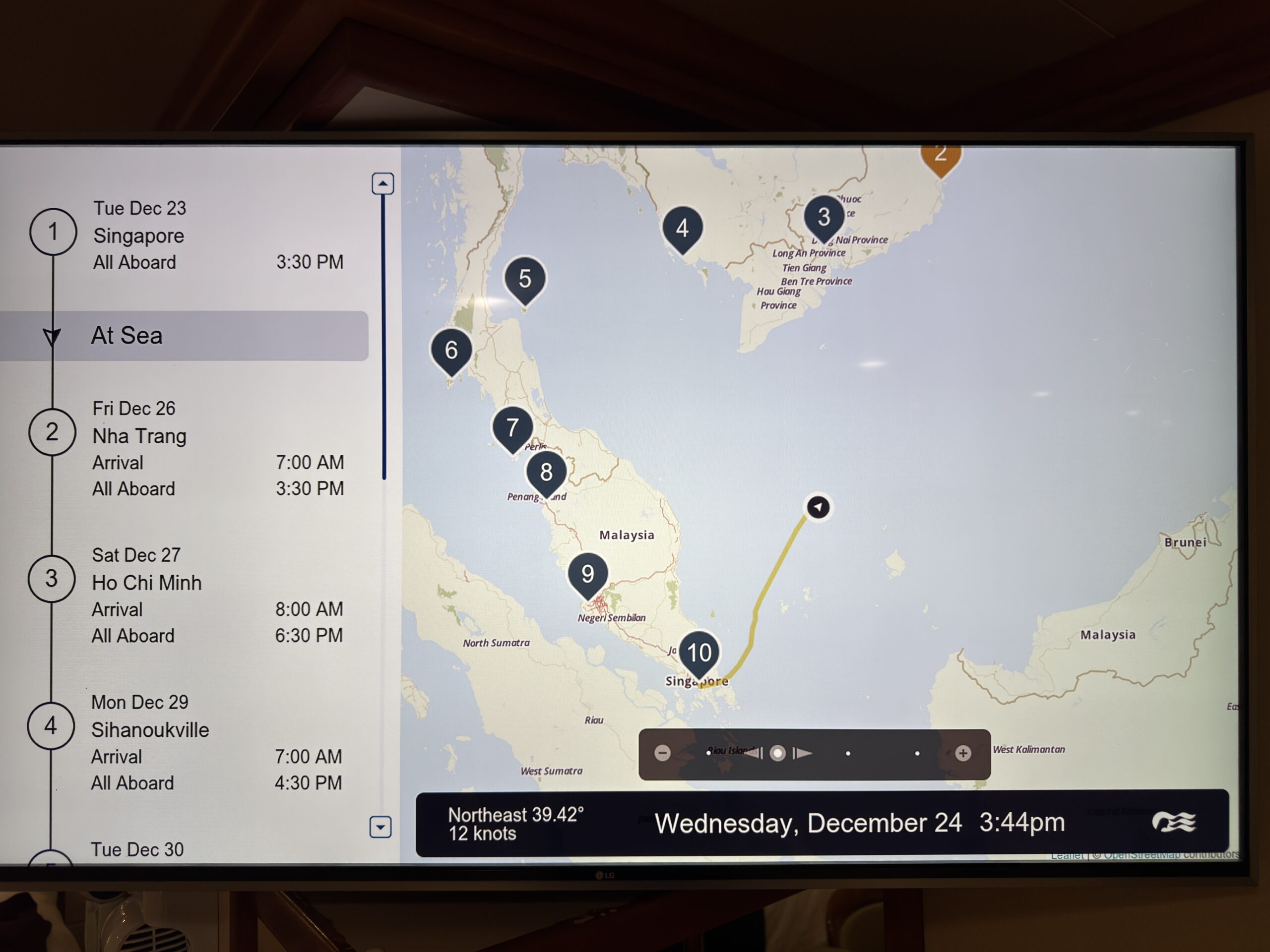
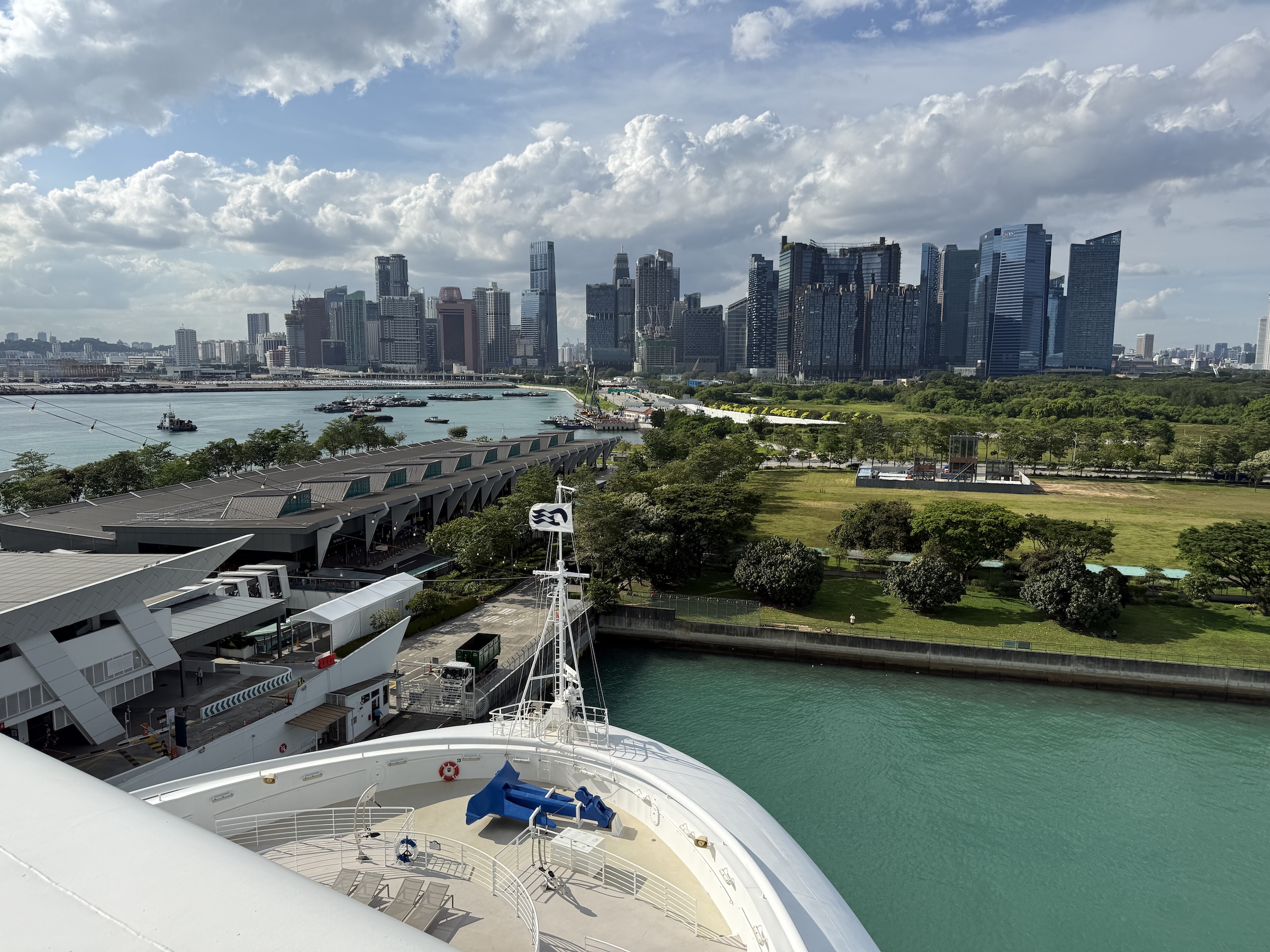
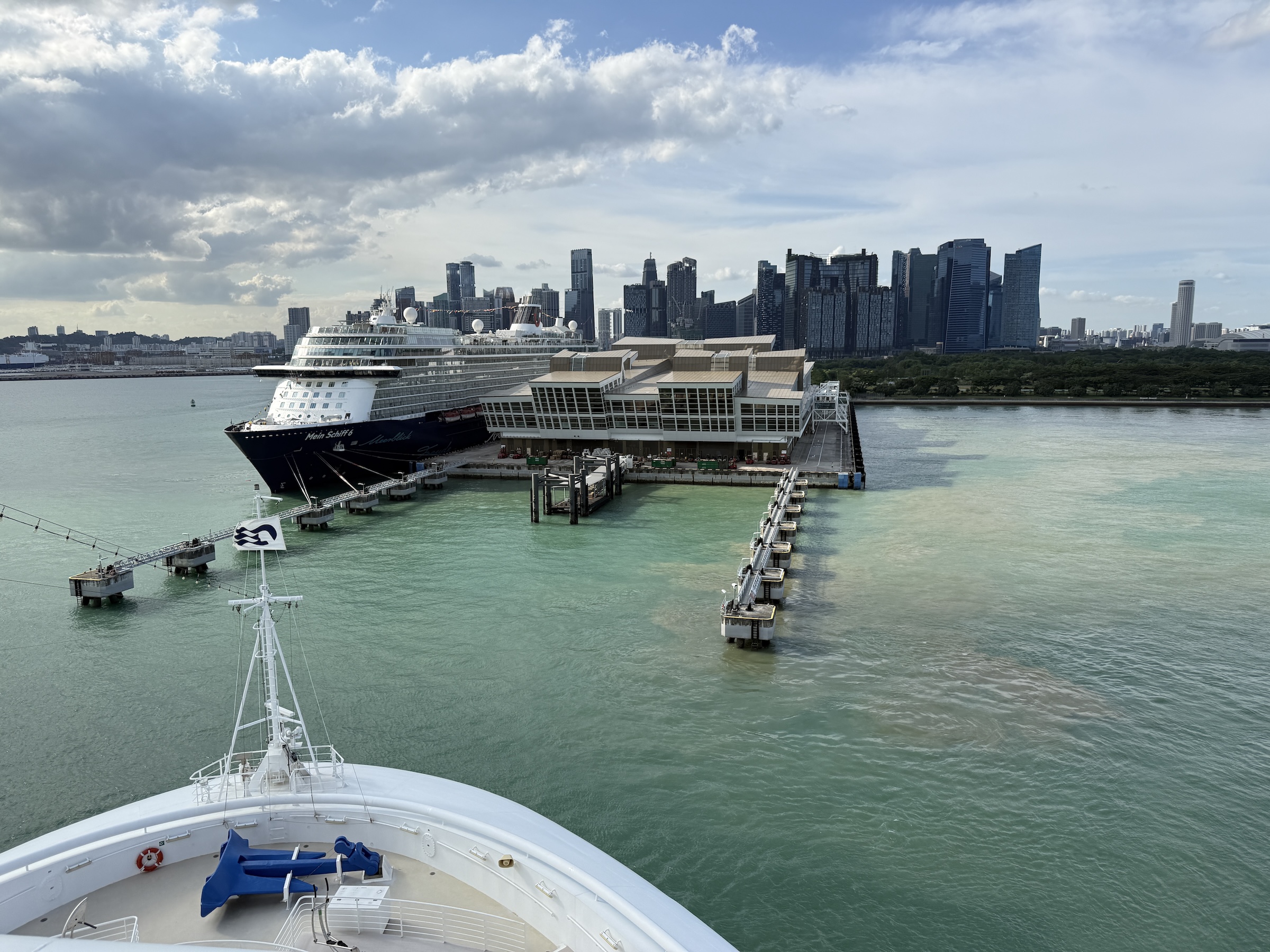
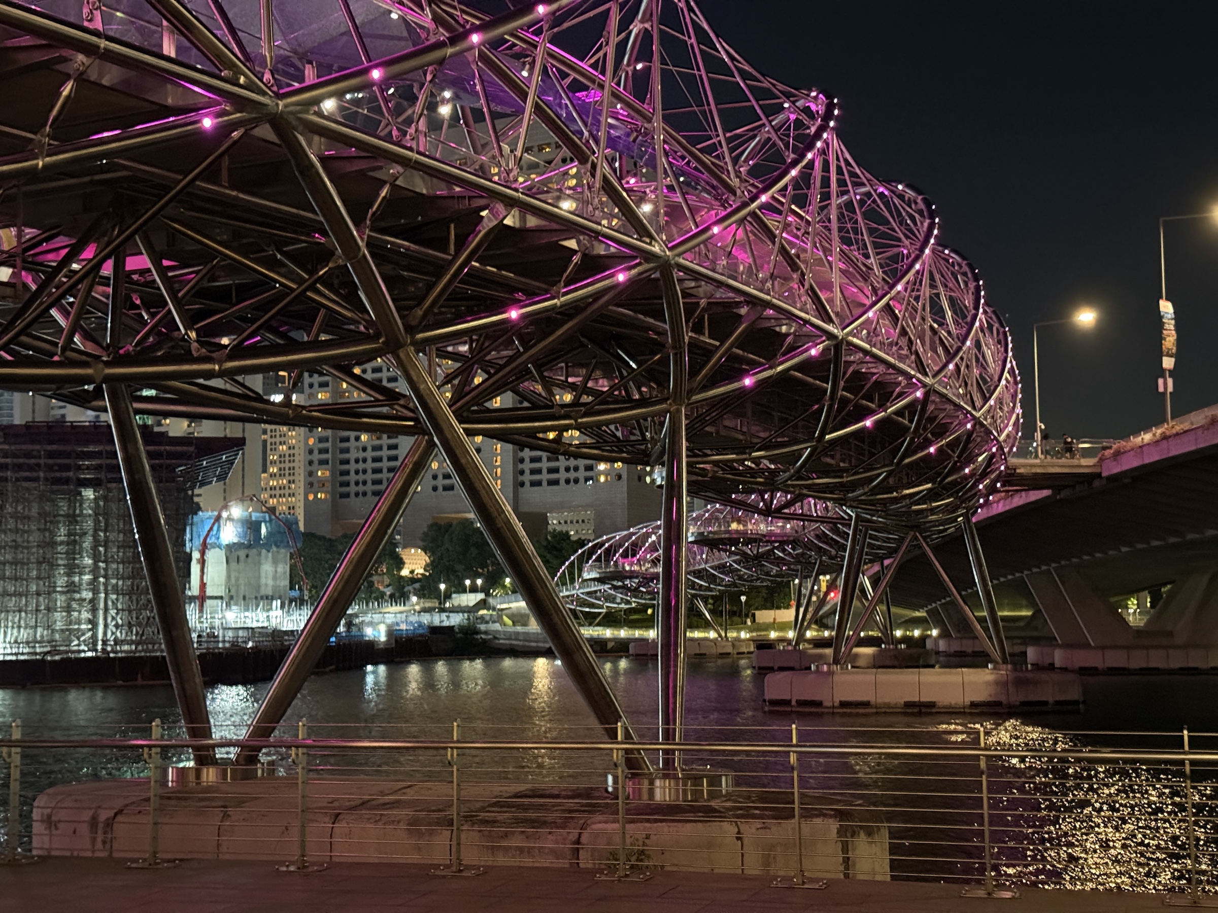
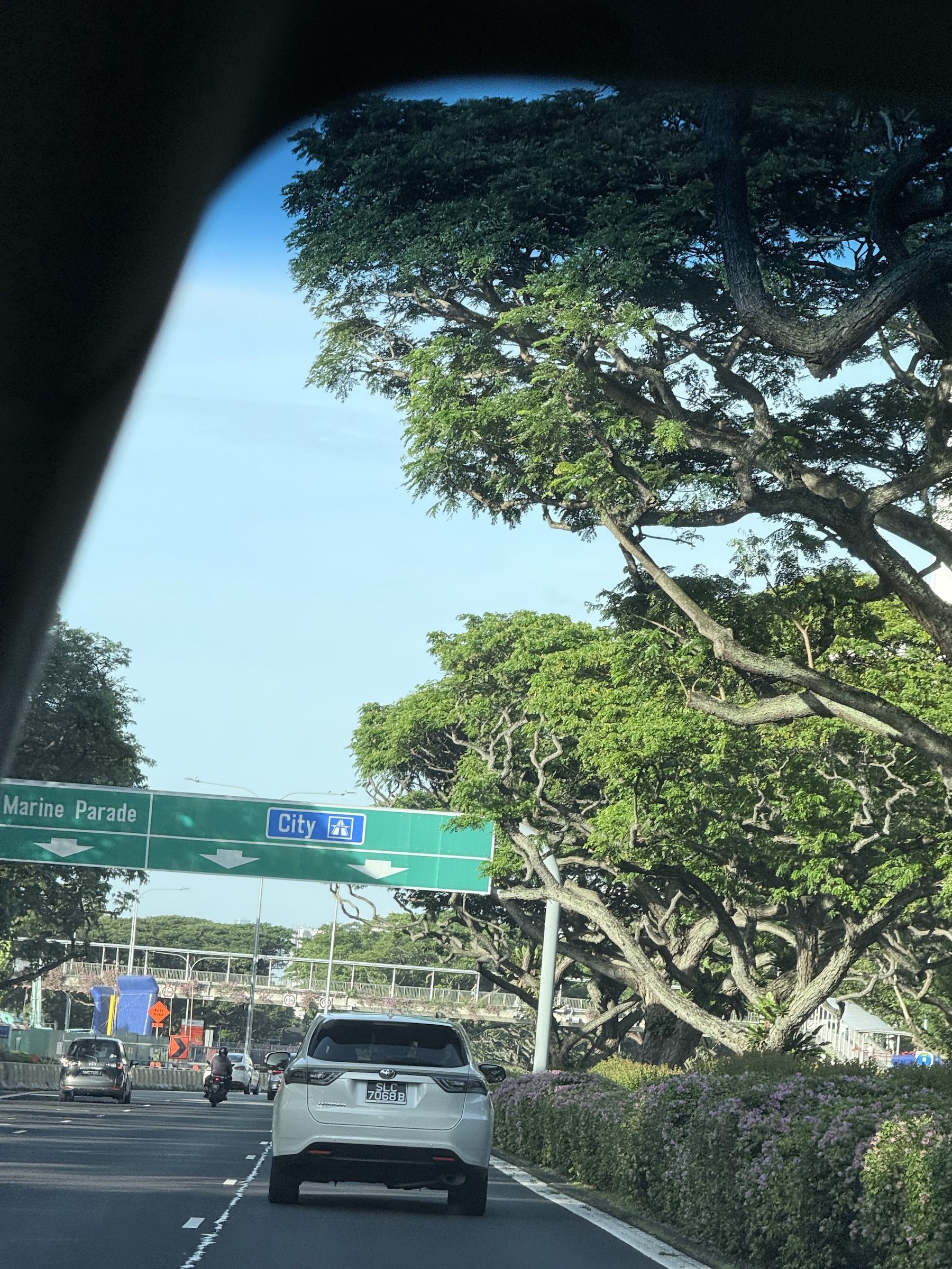
Early on Tuesday afternoon, it was time to run out to the Marina Bay Cruise Centre Singapore to board the Diamond Princess for our 14-day cruise up and down and around the Malay Peninsula.
The construction of the S$500 million terminal began in October 2009 and was completed in May 2012.

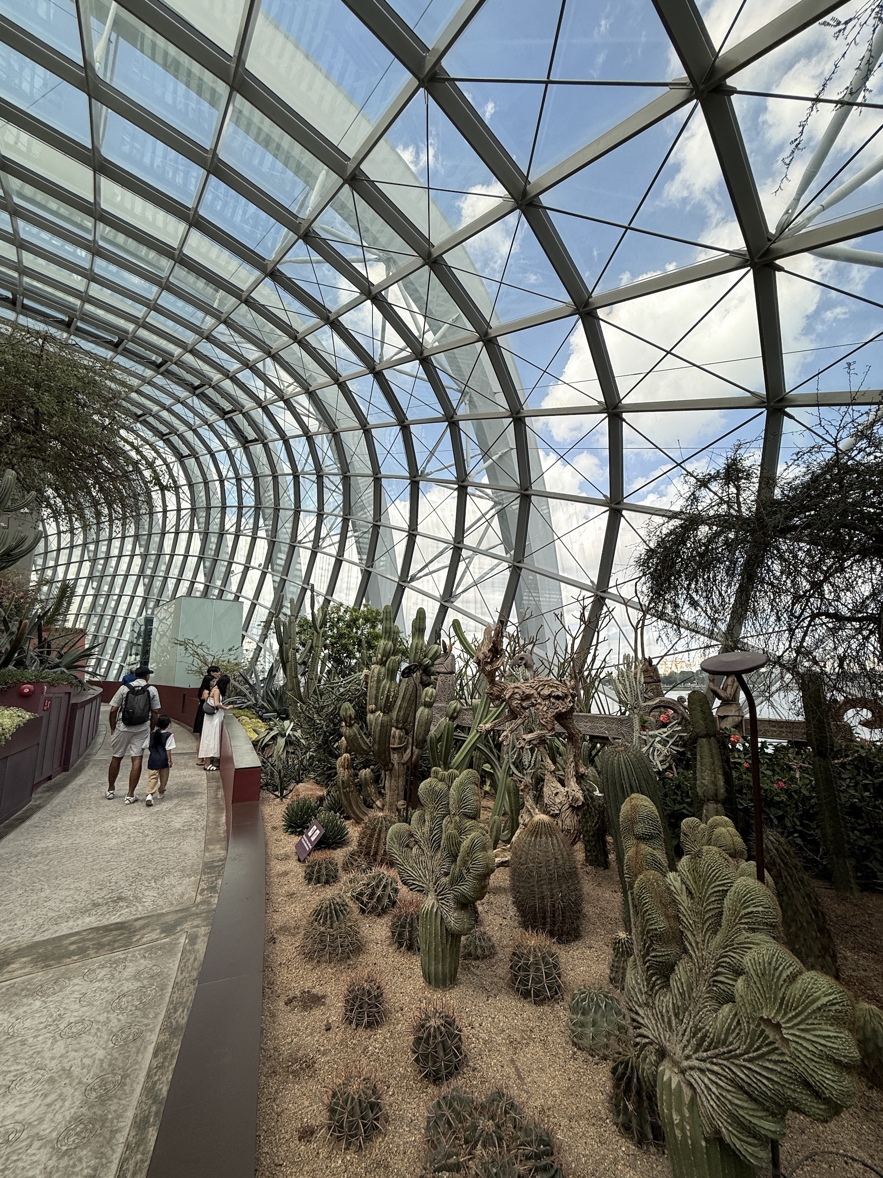
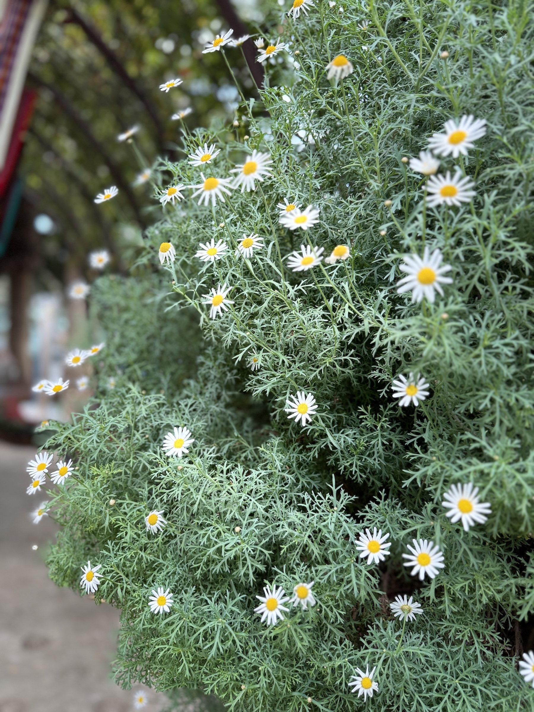
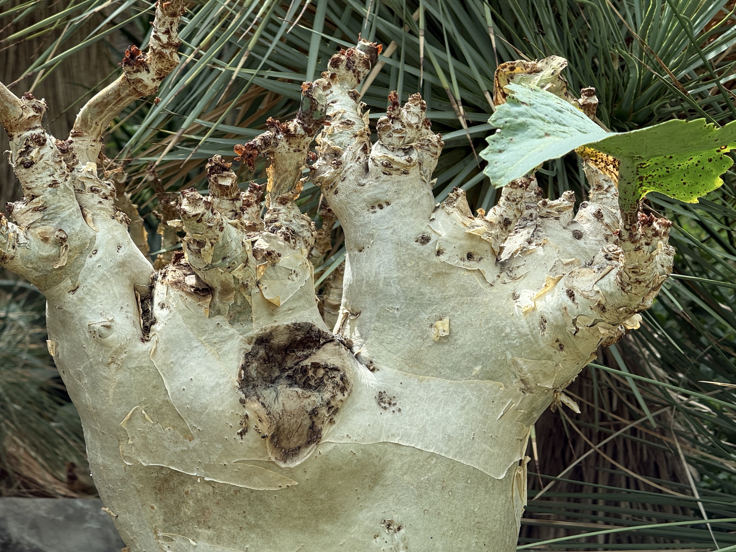
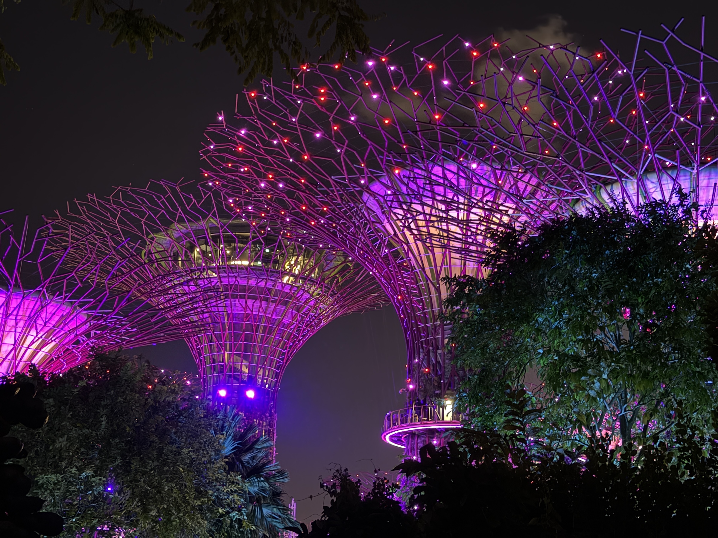
The Gardens by the Bay is a futuristic nature park spanning 101 hectares of reclaimed land right in the center of the city.
The Flower Dome is the world’s largest glass greenhouse and features a spectacular ensemble of plants, trees and flowers from all over the world.
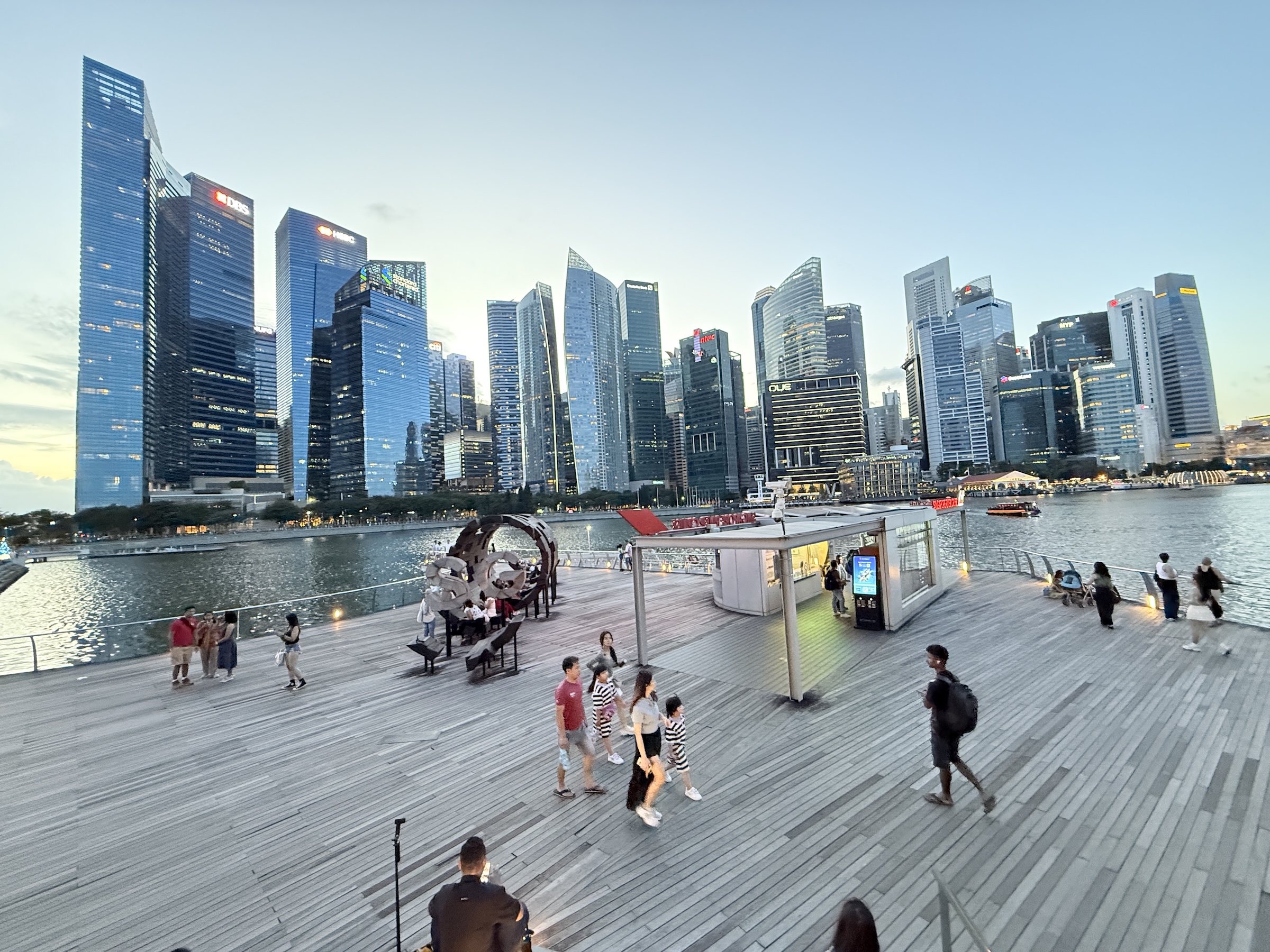
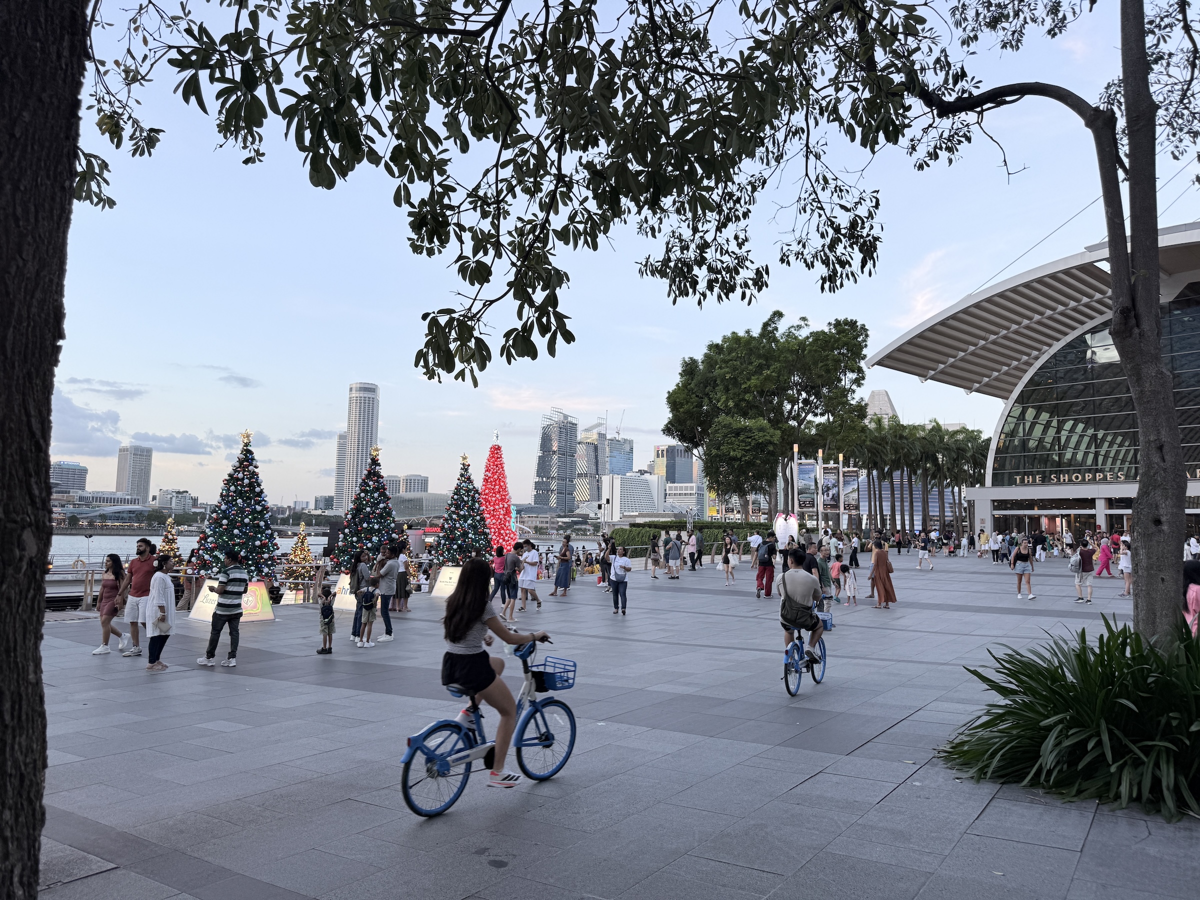
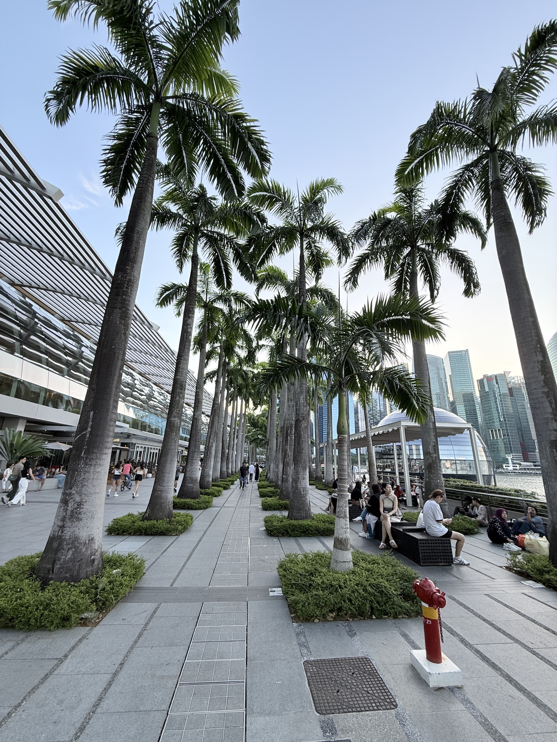
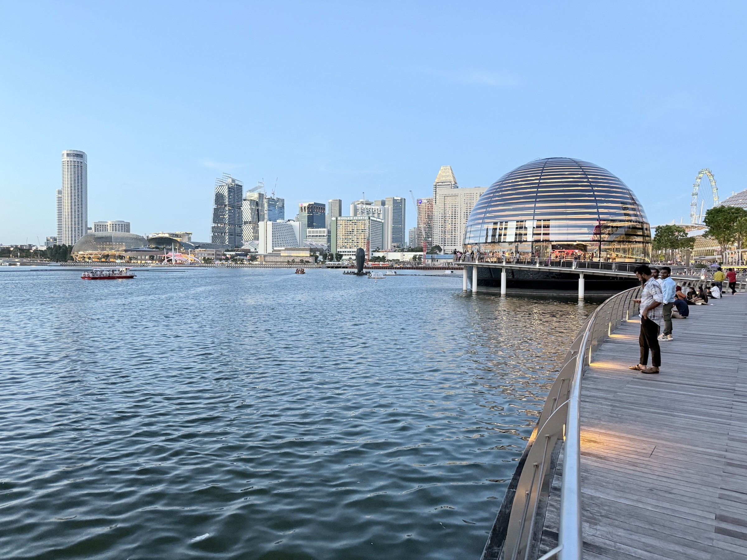
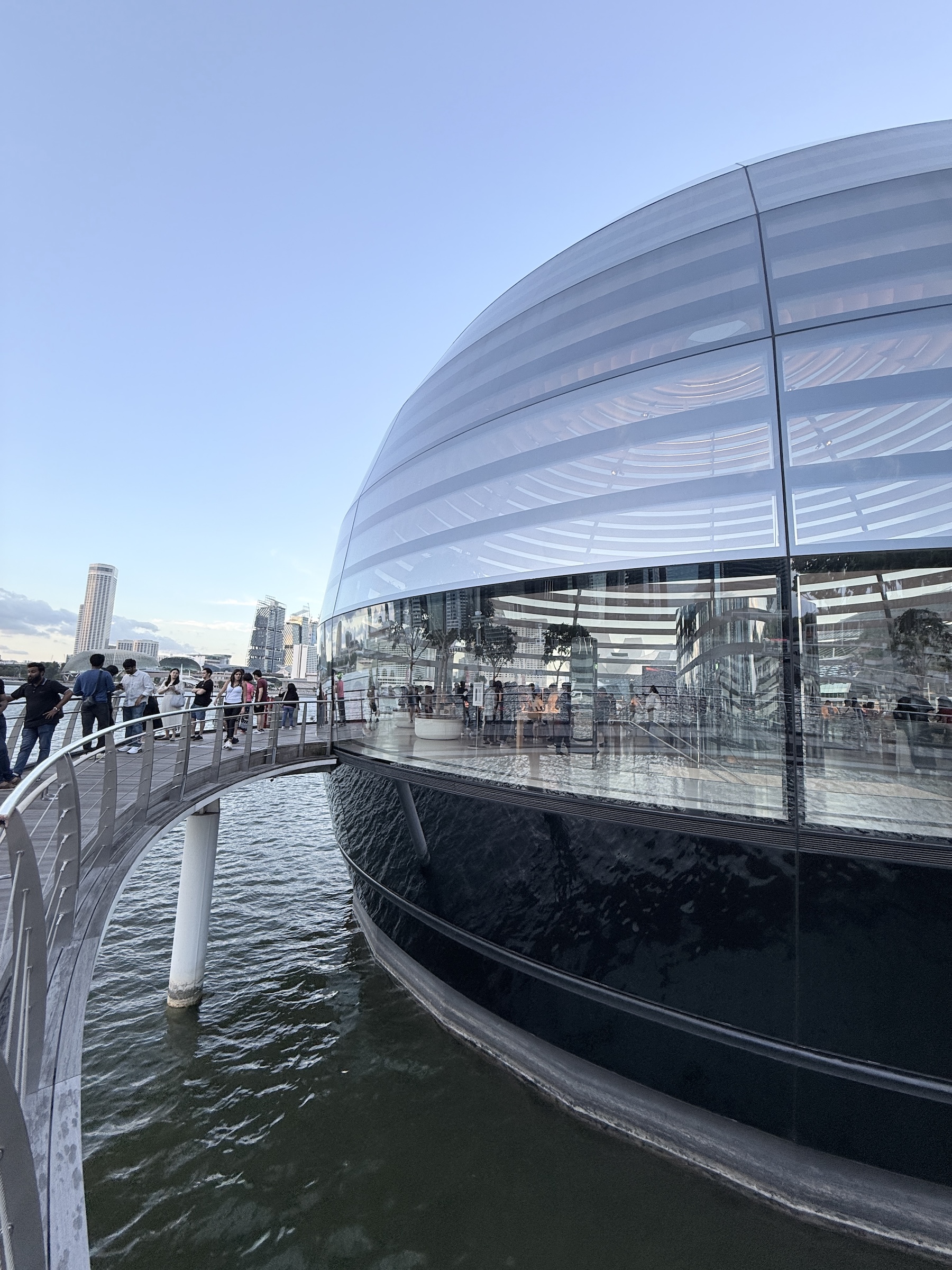
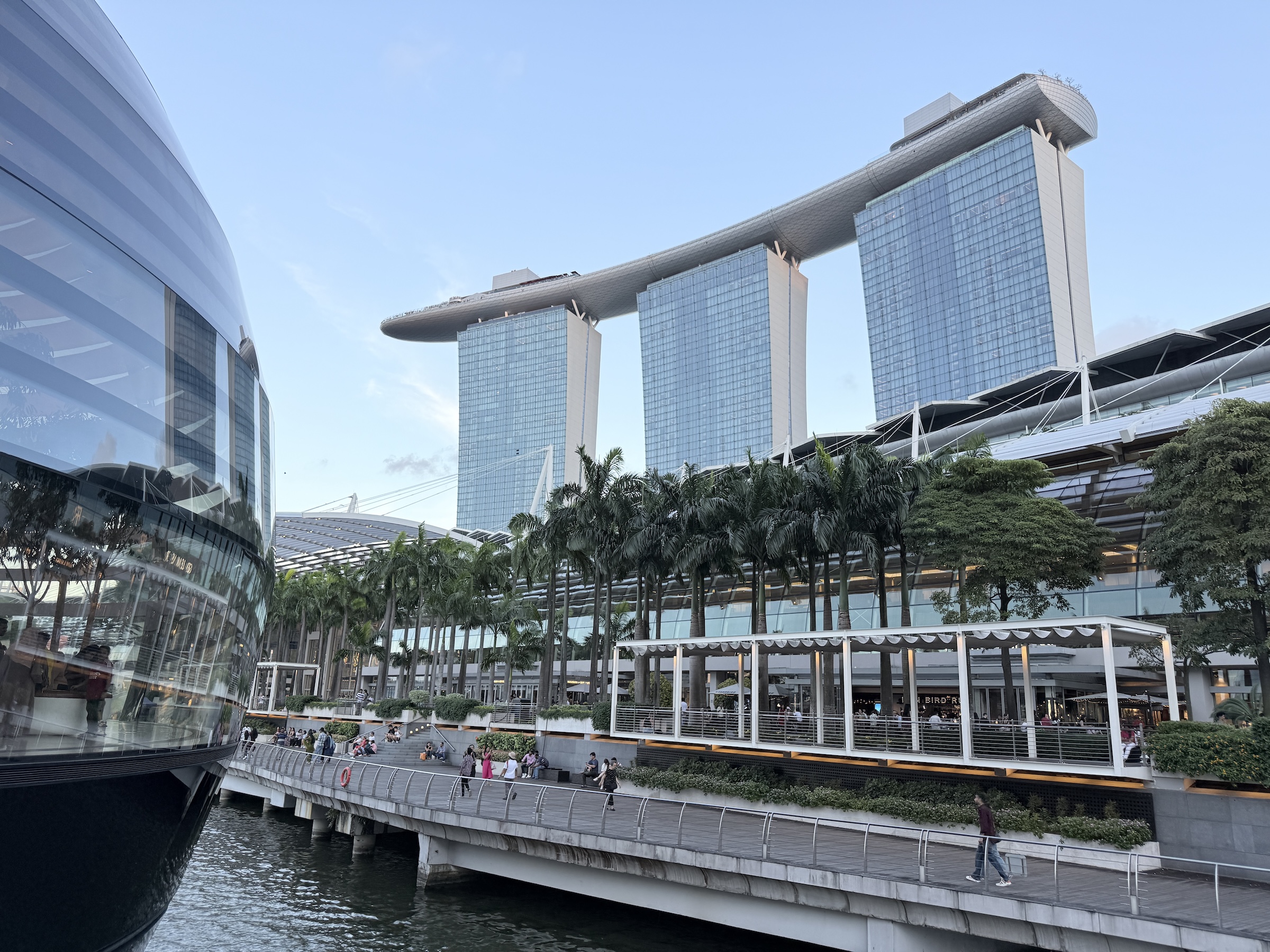
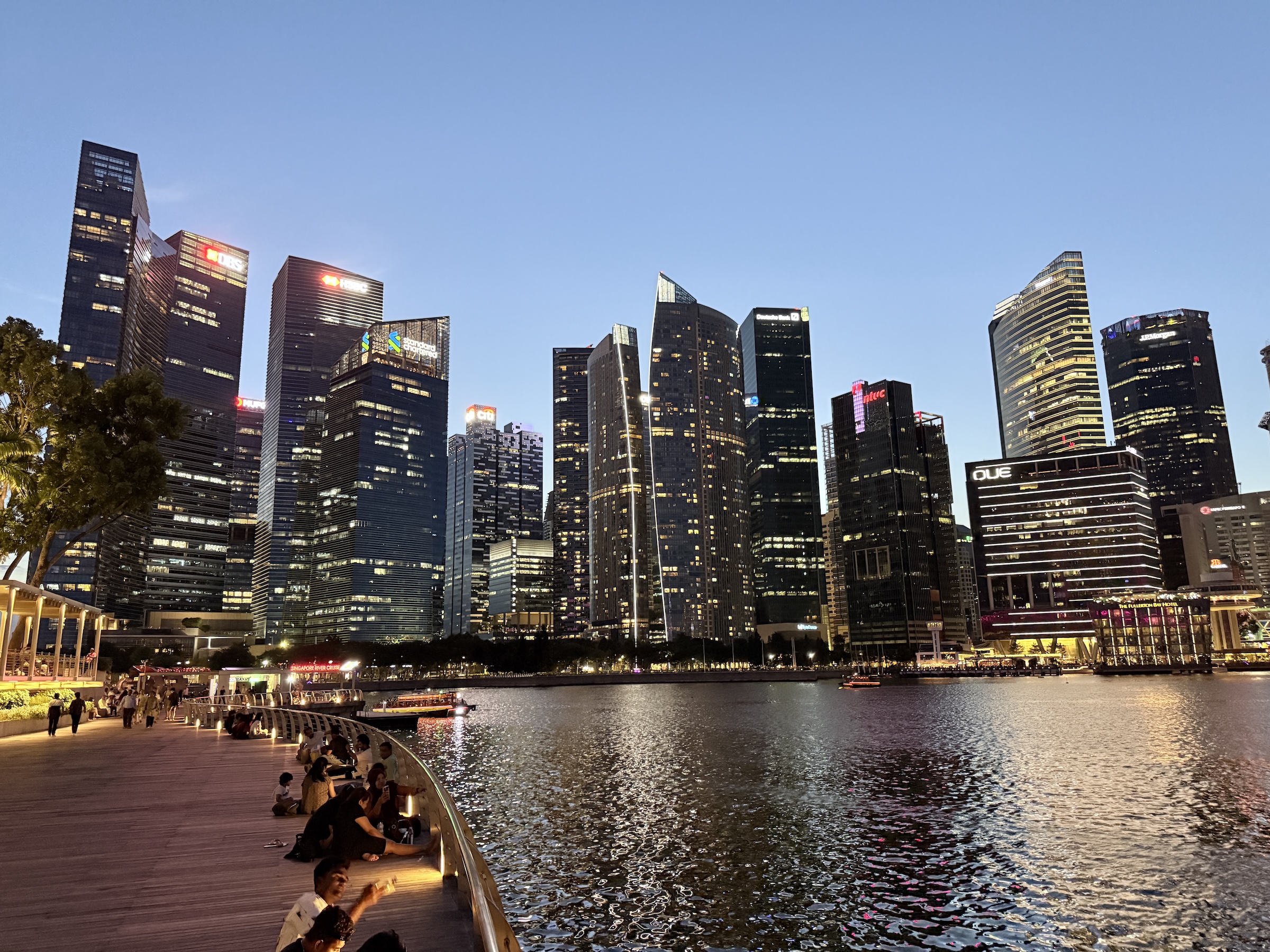
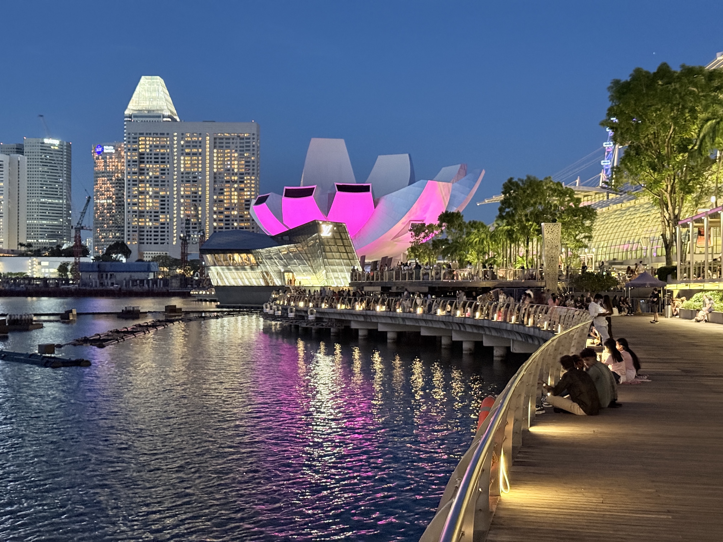
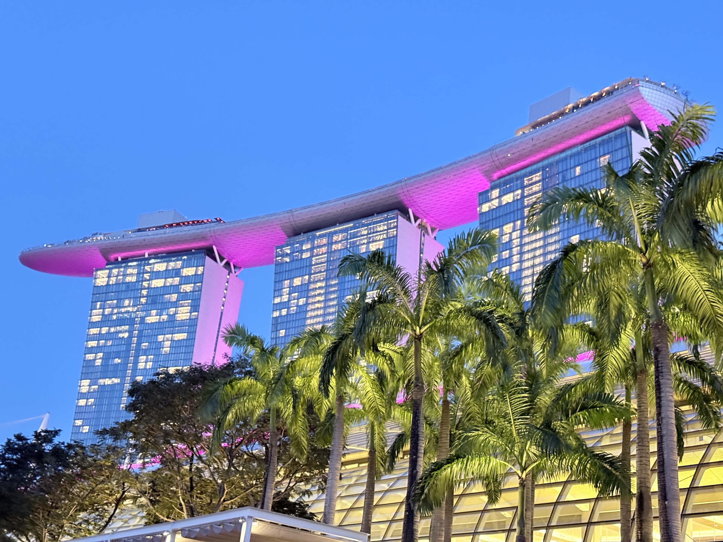
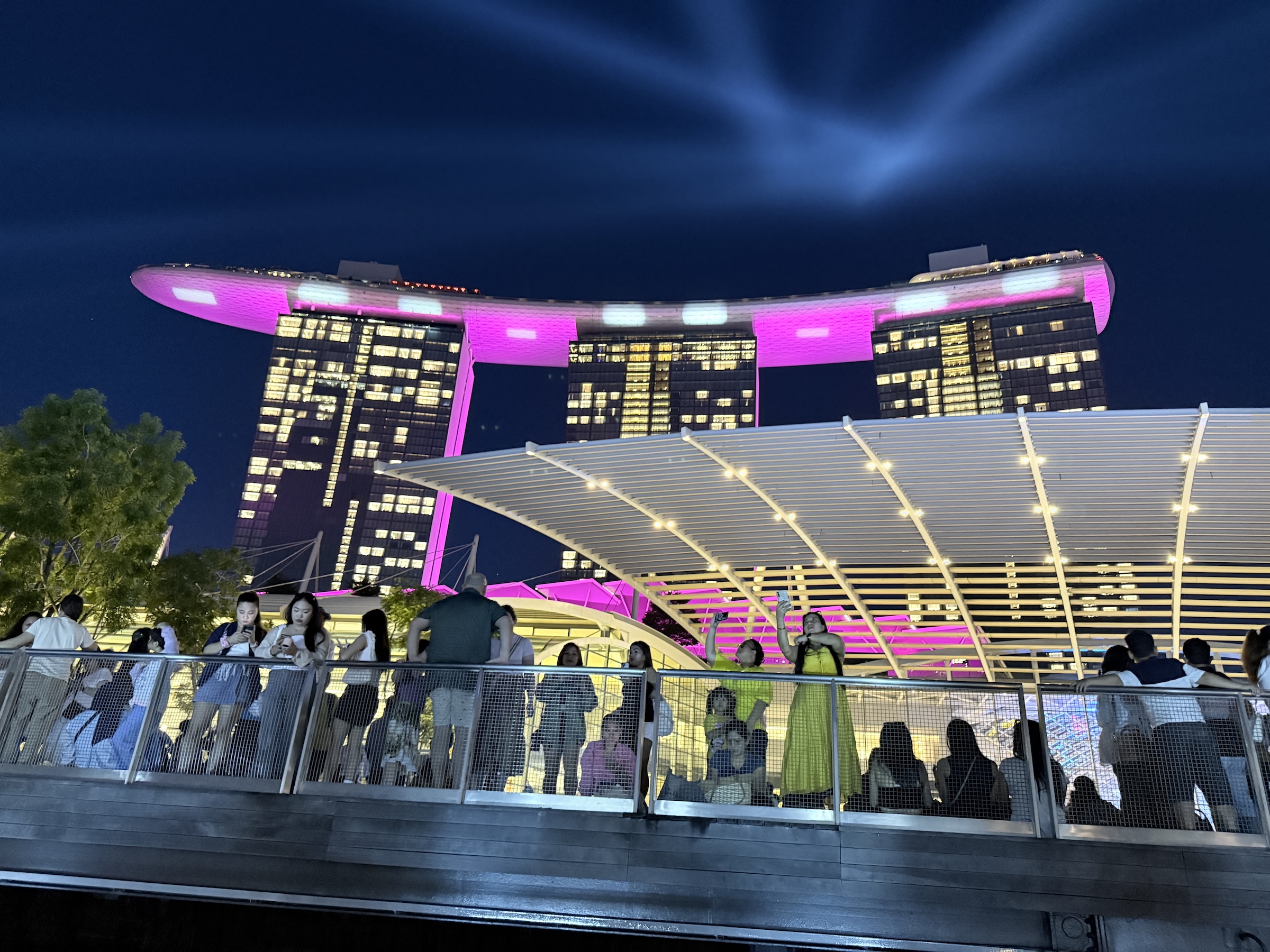
These pictures are all from the Marina Bay Waterfront Promenade where the Marina Bay Sands Hotel is.
The hotel’s grand opening was in February 2011.
It was designed by Moshe Safdie Architects (Safdie Architects), and features three tilted hotel towers linked by a massive, surfboard-like SkyPark at the top, housing gardens, restaurants, and the famous infinity pool, inspired by a deck of cards.
The sphere in the water is an Apple store and the building with the petals of a flower is the ArtScience Museum.
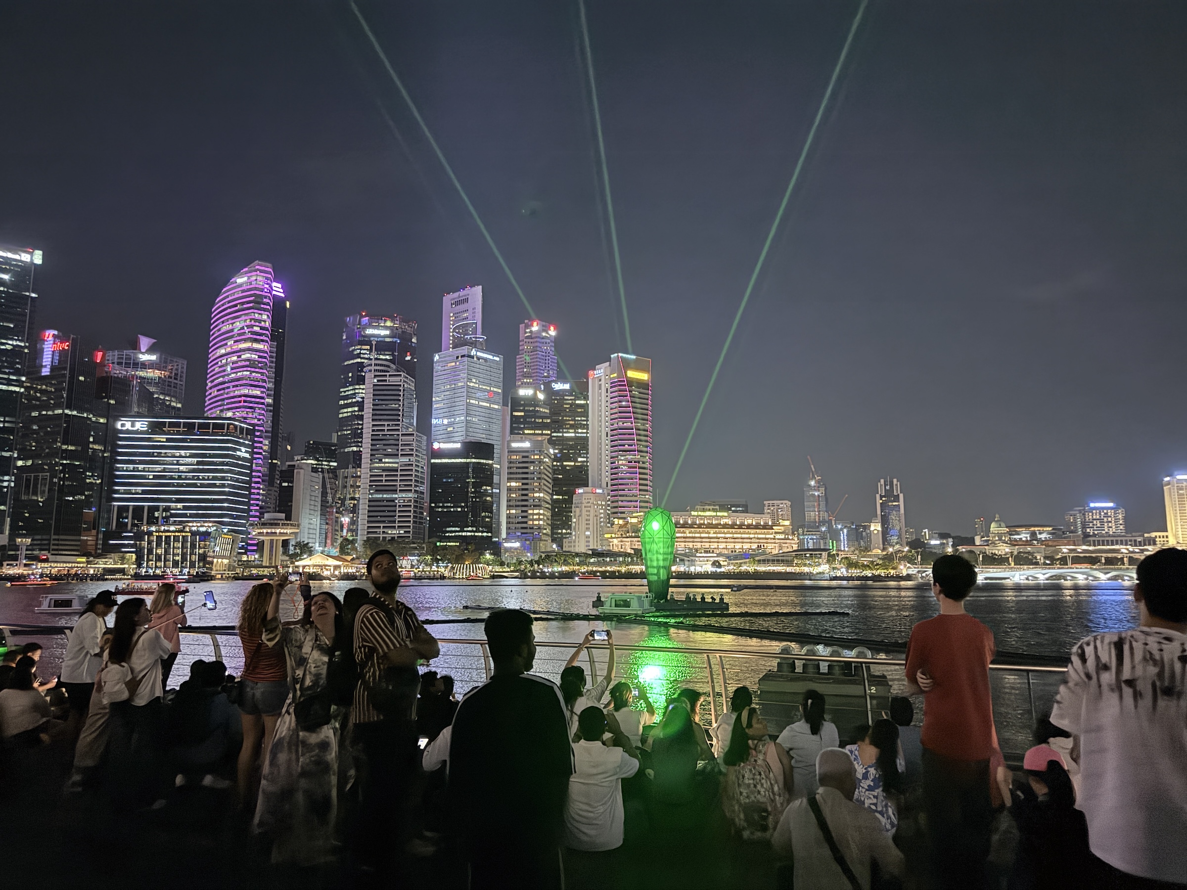
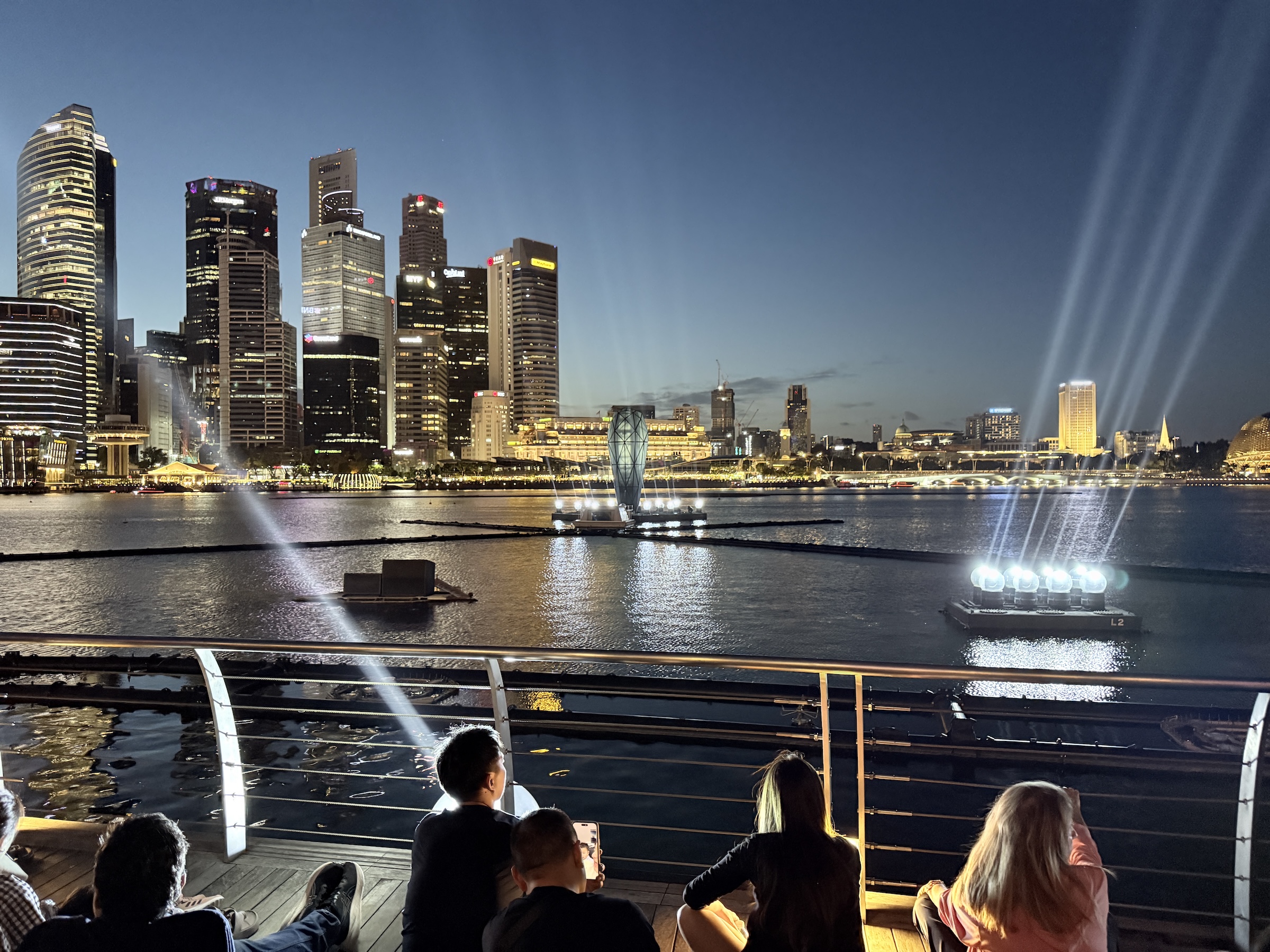
After sunset, there was a laser and fountain show.
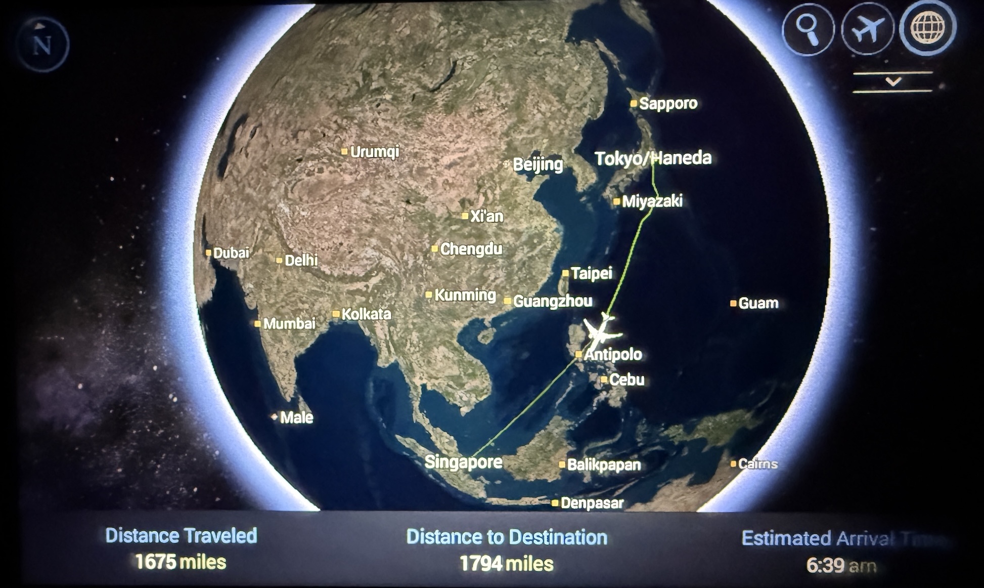
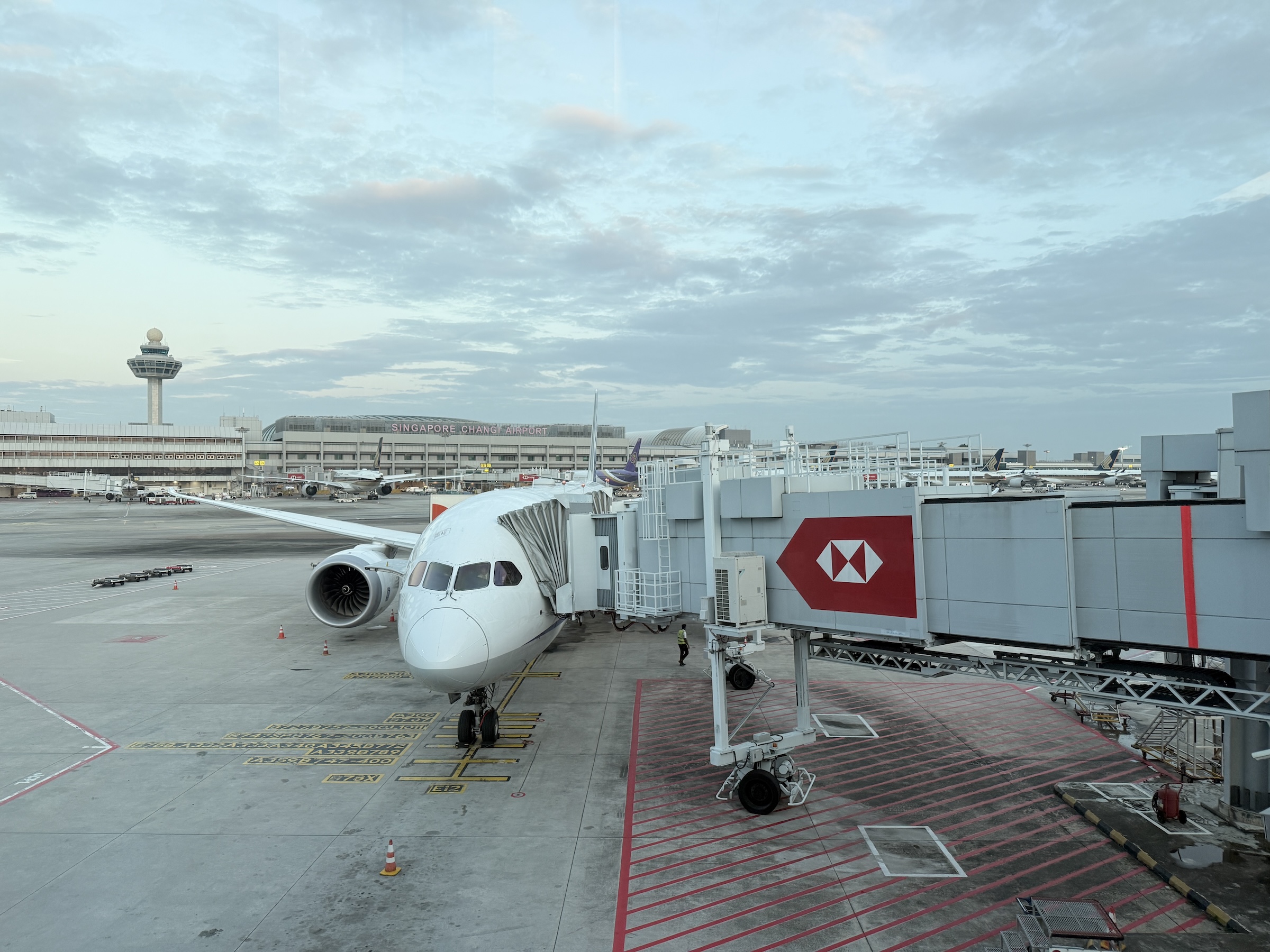
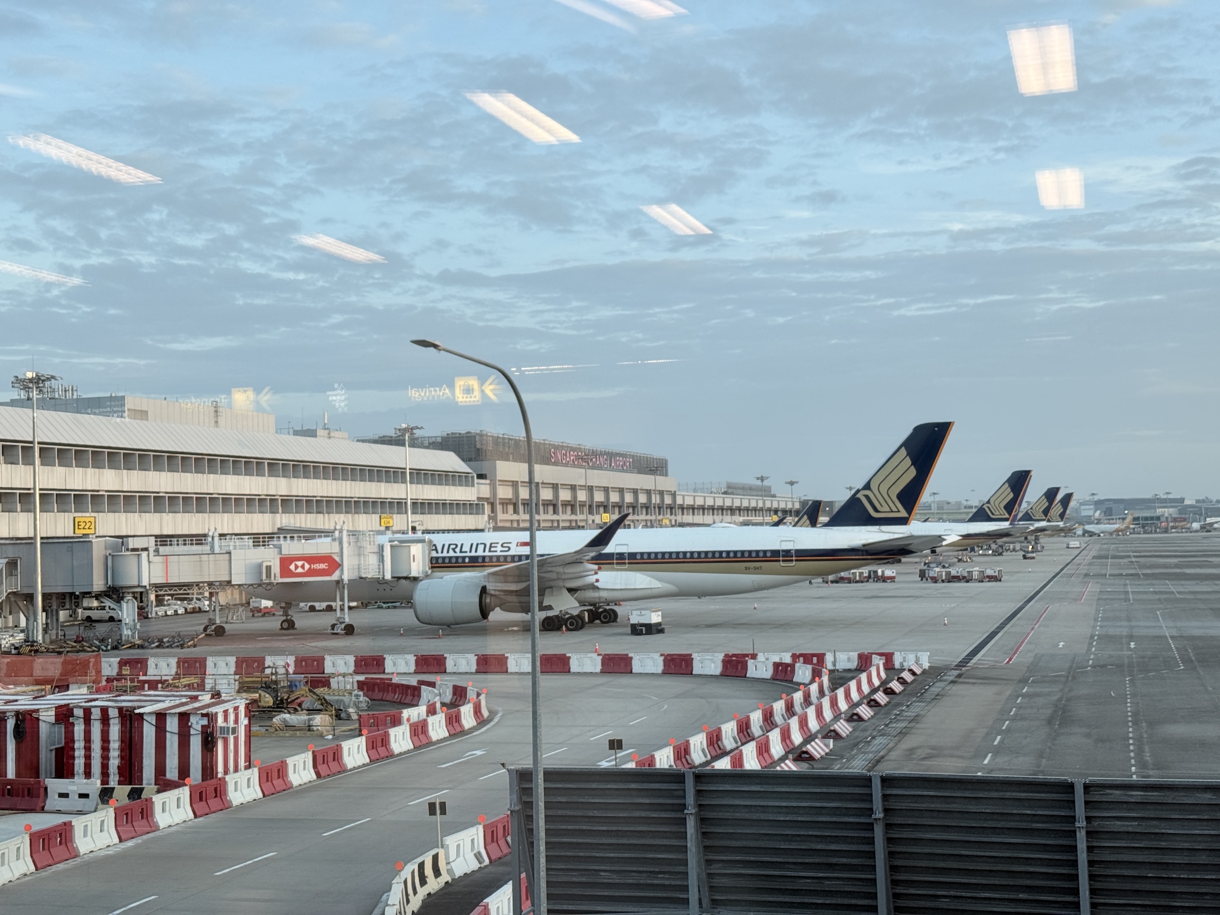
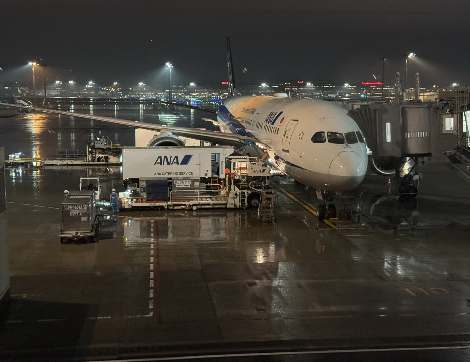
My red-eye flight that departed out of Tokyo after midnight local time (12.35 am), landed in Singapore at 6.55 am.
Passport control and customs was quick and efficient. I interacted with no humans— only with two camera stations.
One did a facial recognition scan (after I had scanned my passport picture page) and the other instructed me to press my right thumb on the glass for a fingerprint. Twenty seconds and done.
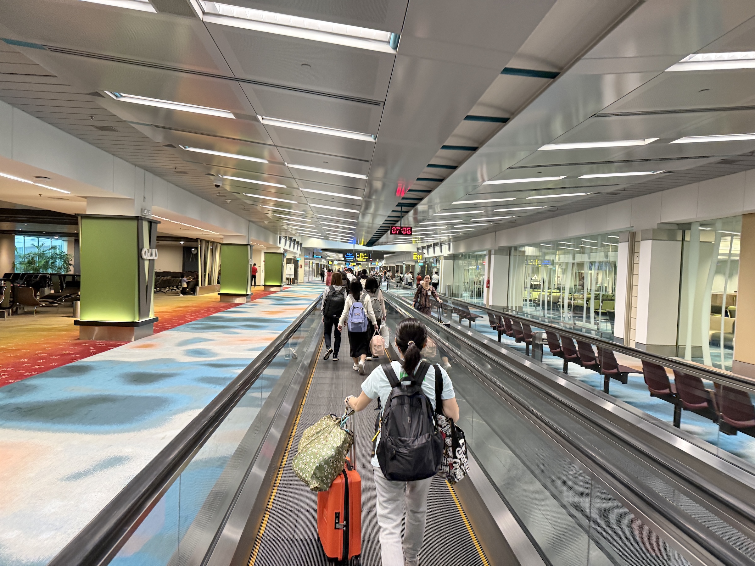
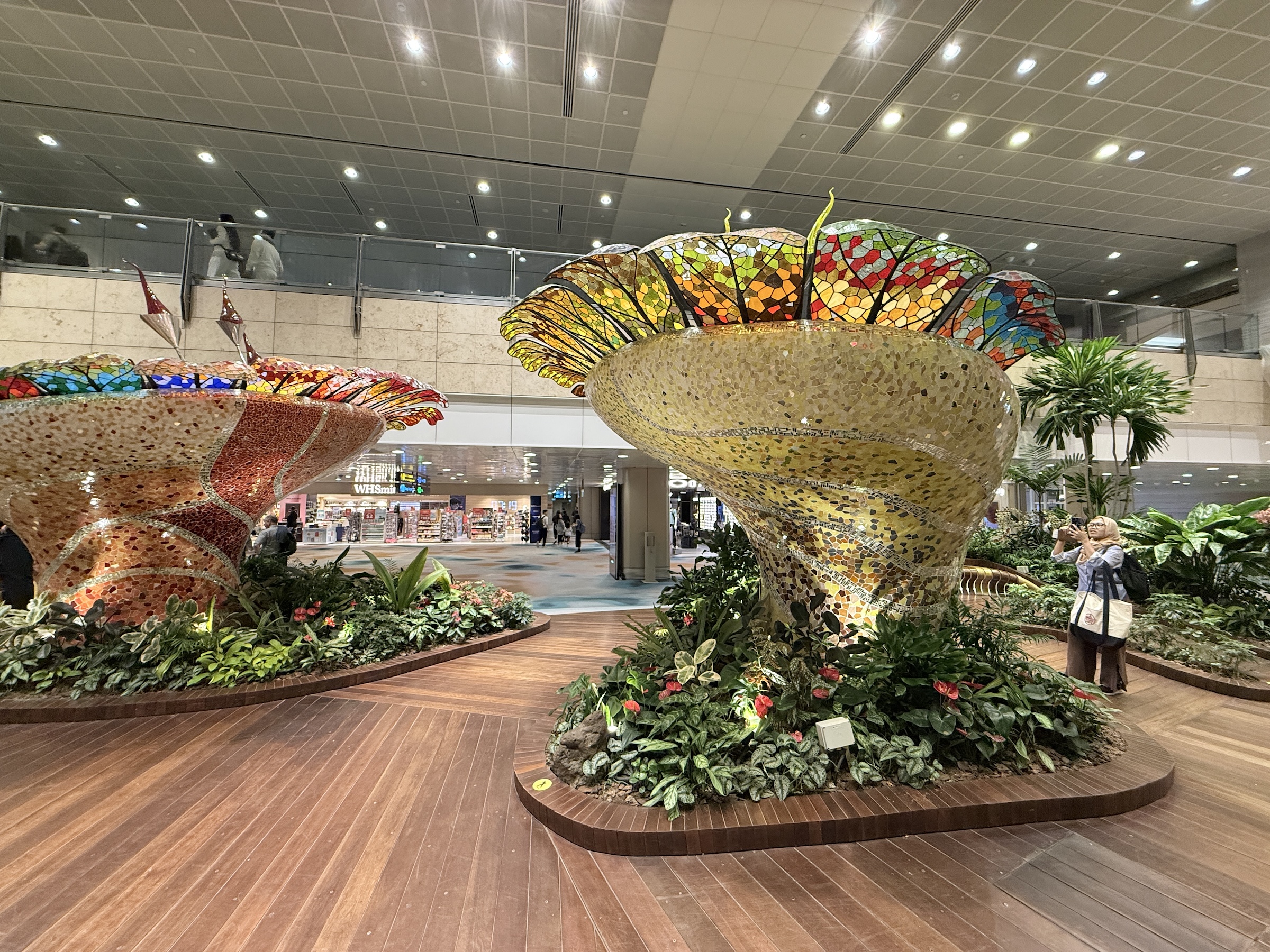
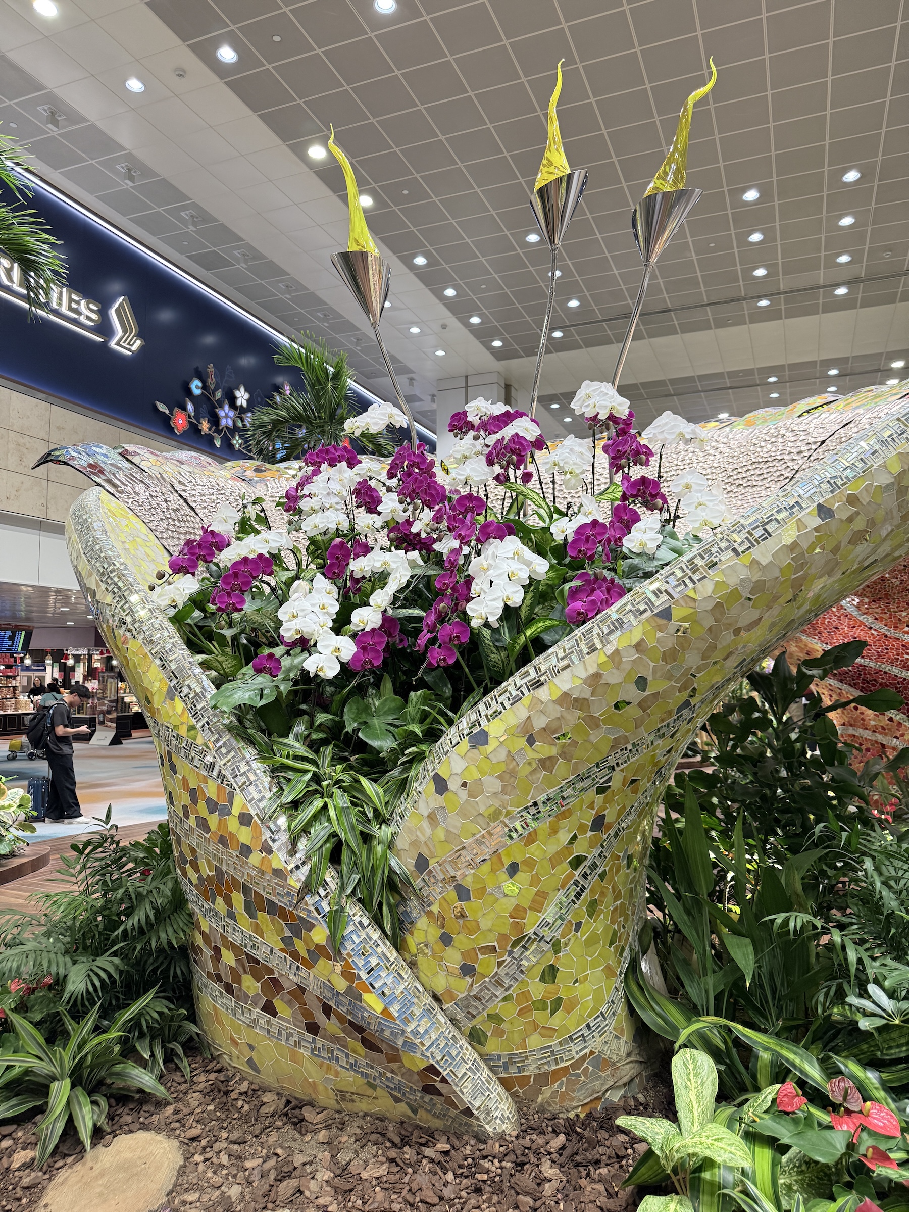
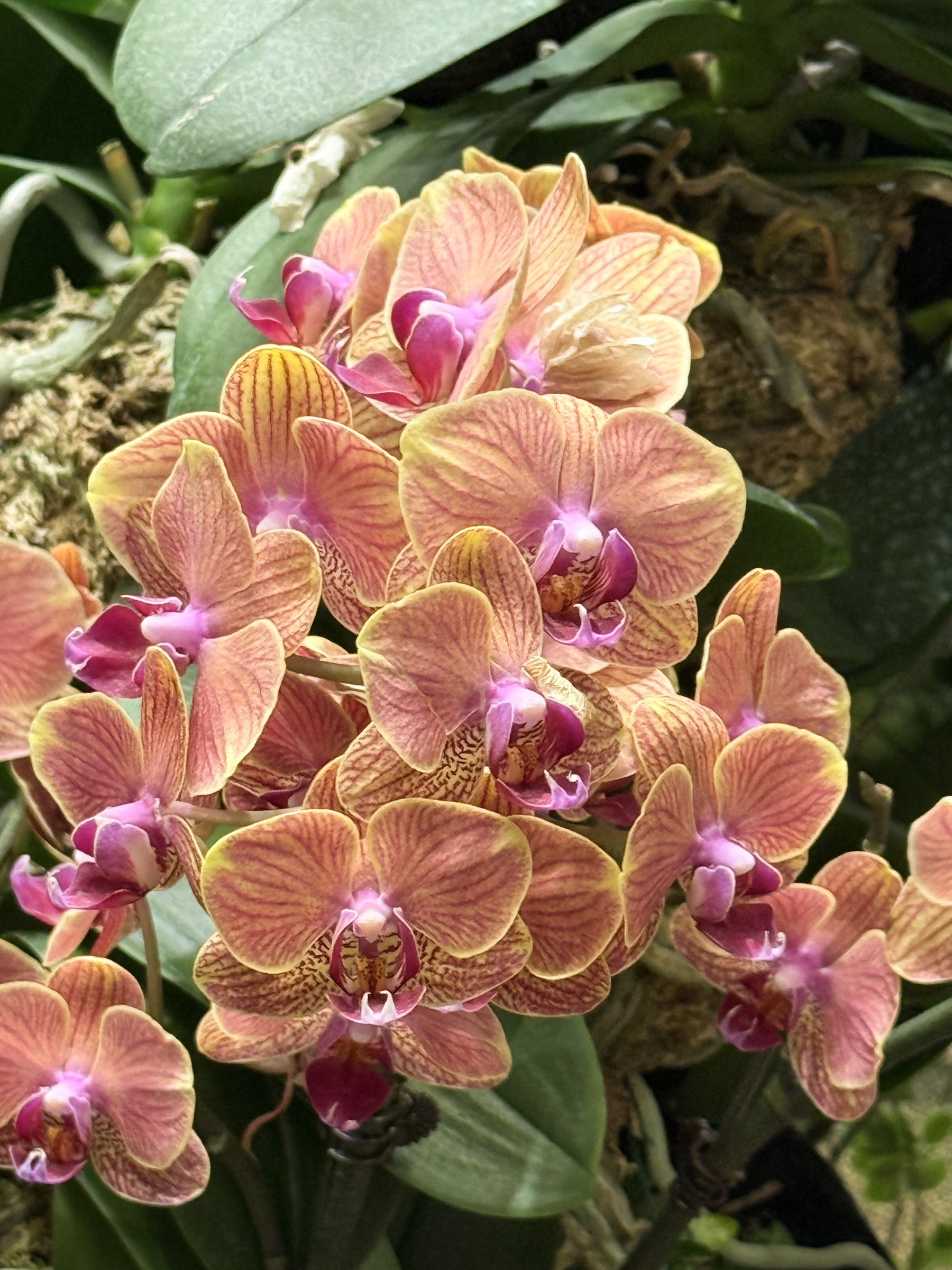
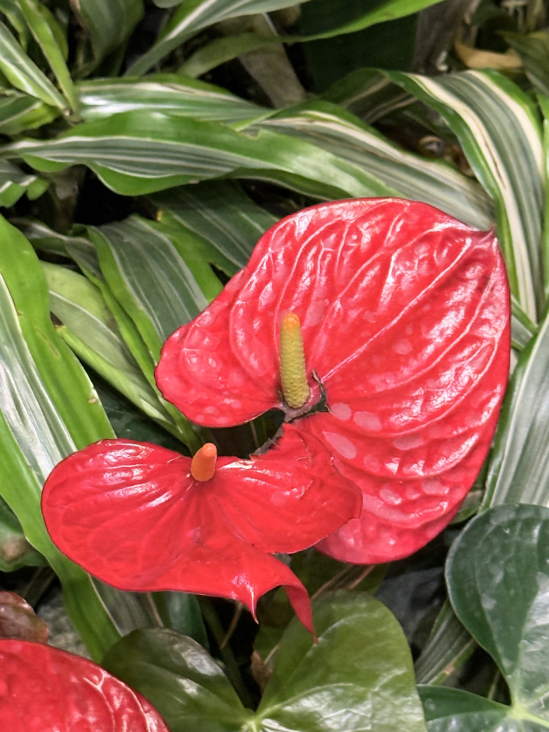
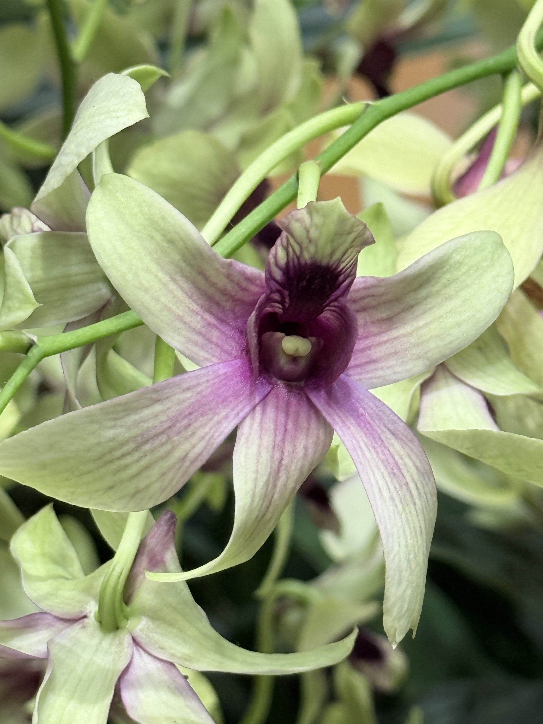
I took a few pictures of the orchids inside the secure area at Changi airport, and then had to move on to pick up my bags and go through passport control.
The mid-day conditions outside— 88°F (31°C) with a little humidity— is a shock to someone now used to Pacific Northwest winter weather.
I took a taxi to the hotel, instead of roughing it by walking with my luggage and using the metro train.
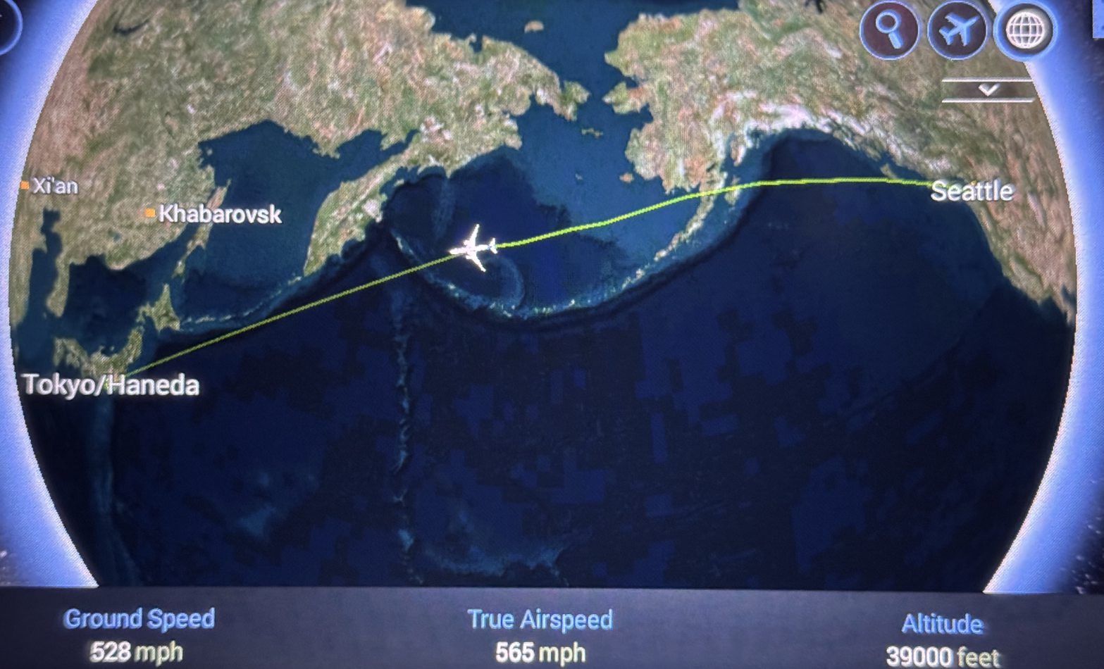
We arrived at Tokyo’s Haneda airport at 6.25 pm Saturday night local time (well past midnight, Friday night Seattle time).
There are two methods to calculate the arrival time in Tokyo:
Method A
Depart Seattle Friday 15.40 pm
Fly 9 hrs 45 mins
Arrive Seattle Saturday 1.25 am
Arrive Tokyo Saturday 6.25 pm (Tokyo time = Seattle time +17 hrs)
Method B
Depart Seattle Friday 15.40 pm
Arrive Tokyo 6.25 pm
Is it Friday or Saturday in Tokyo?
It’s Saturday (+1 day) because the IDL was crossed flying west to east
My bags are packed for my trip out tomorrow. (Well, almost. I still have to put a few things in and close them).
I fly out to Singapore on All Nippon Airlines with a stop at Haneda airport in Tokyo, Japan.
I will arrive in Singapore early on Sunday morning local time, and spend two days there before my Princess cruise departs on Tuesday.
(Do they not have a reputation for spitting at you if they find you annoying? I will have to look into that first before I get too close too them).
[Page from the online Readers Digest at rd.com]
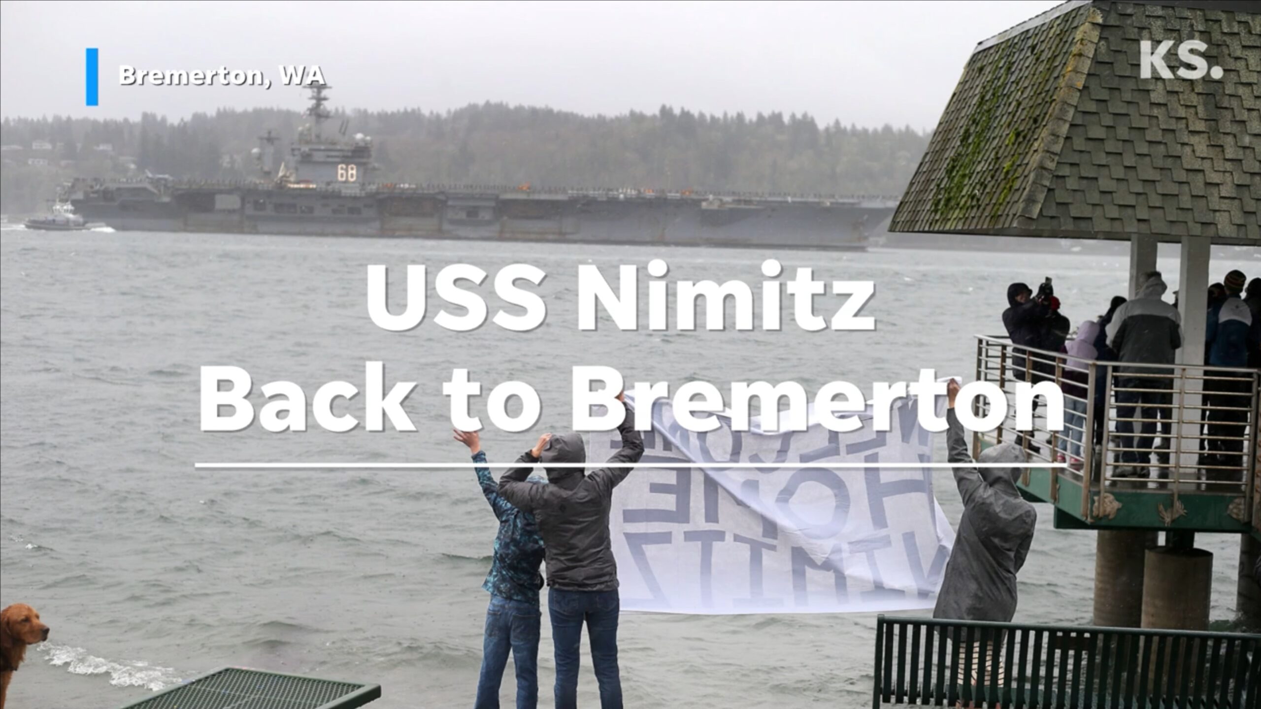
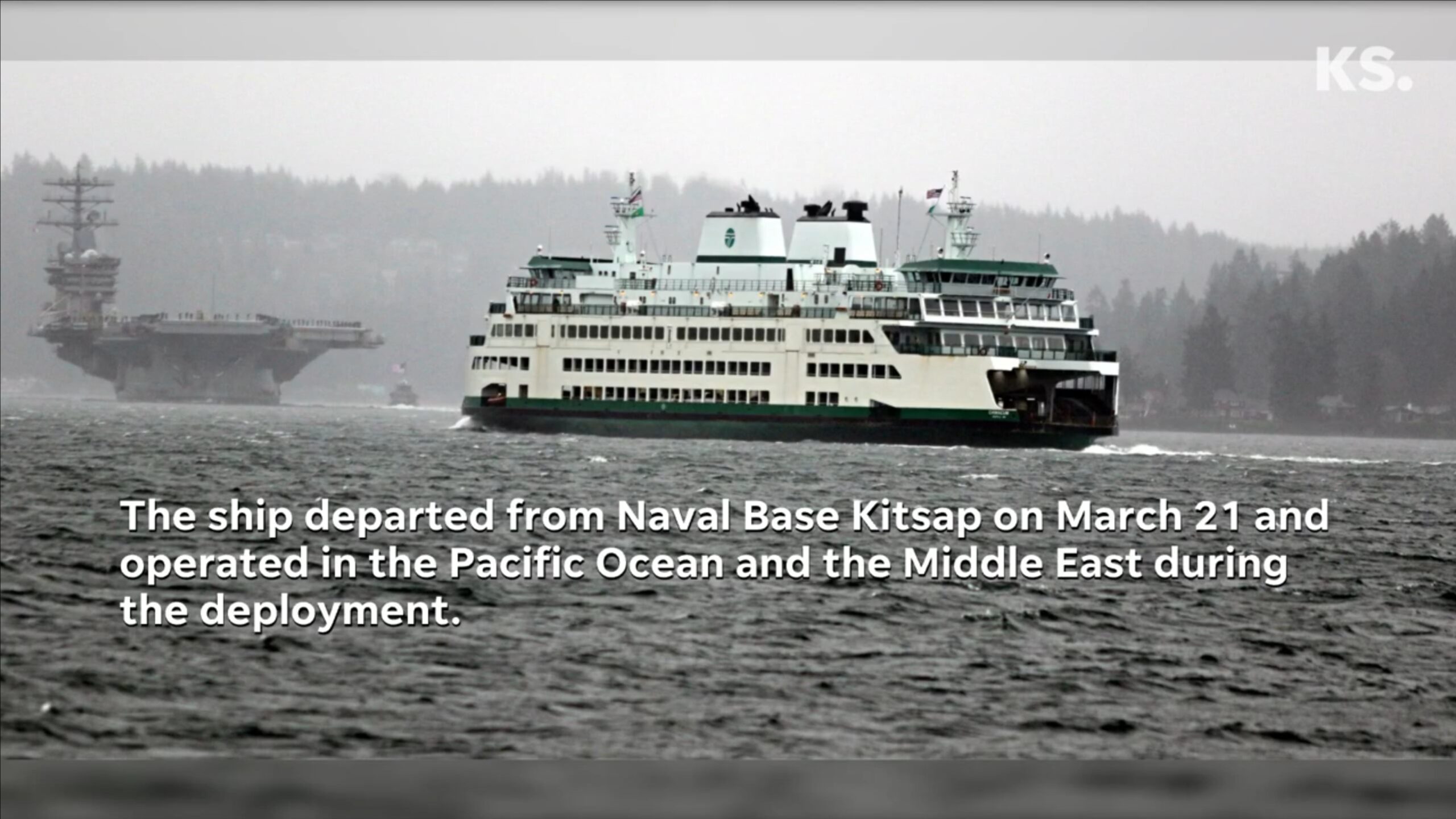
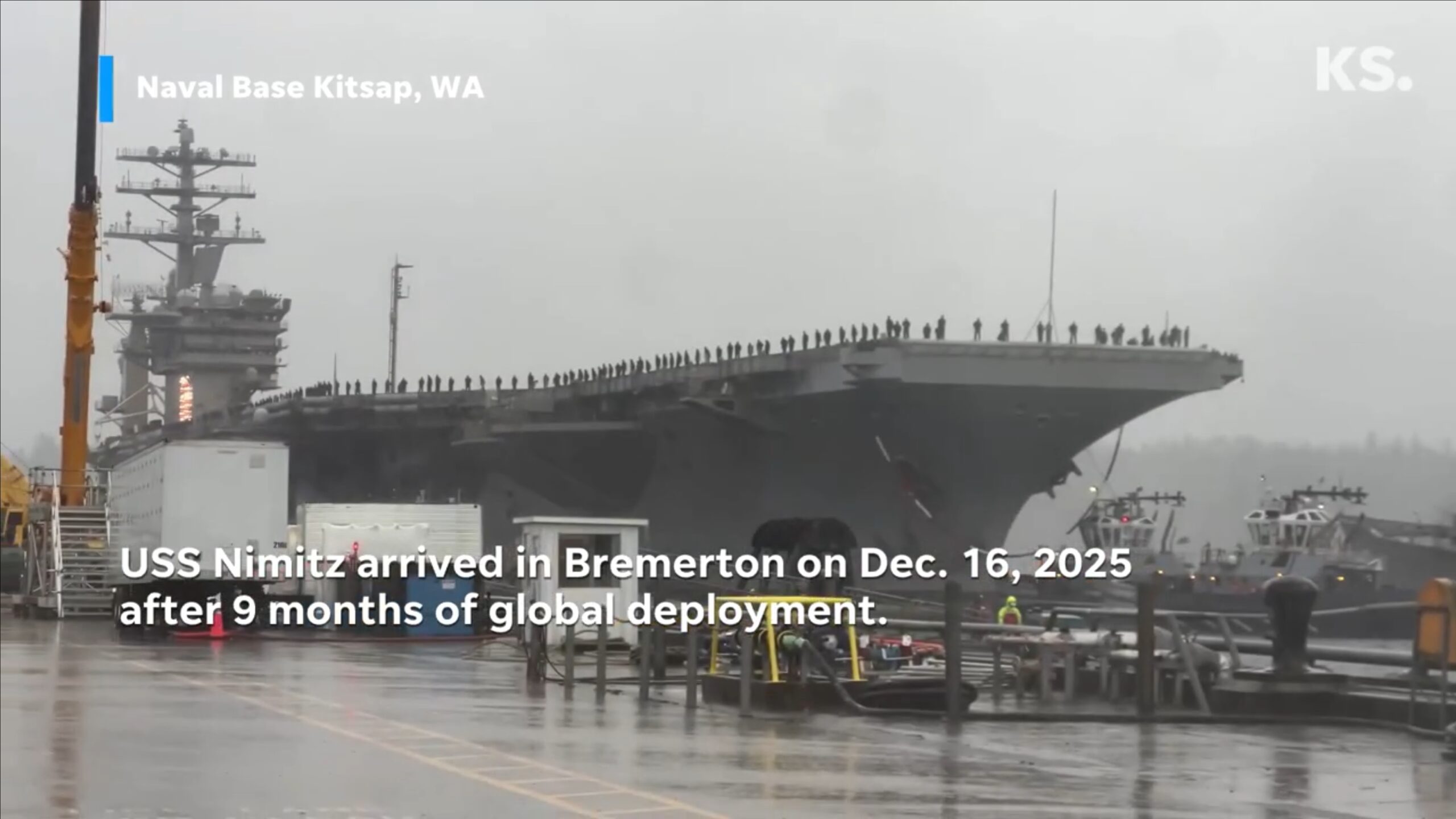
Aircraft carrier USS Nimitz* returned to her home port in Bremerton yesterday after a 9-month deployment— her very last one, after being in service for 50 years.
*Named after World War II Pacific fleet commander Chester W. Nimitz, USN, (1885–1966), who was the Navy’s third fleet admiral.
The stills below are from a video posted on kitsap.com.
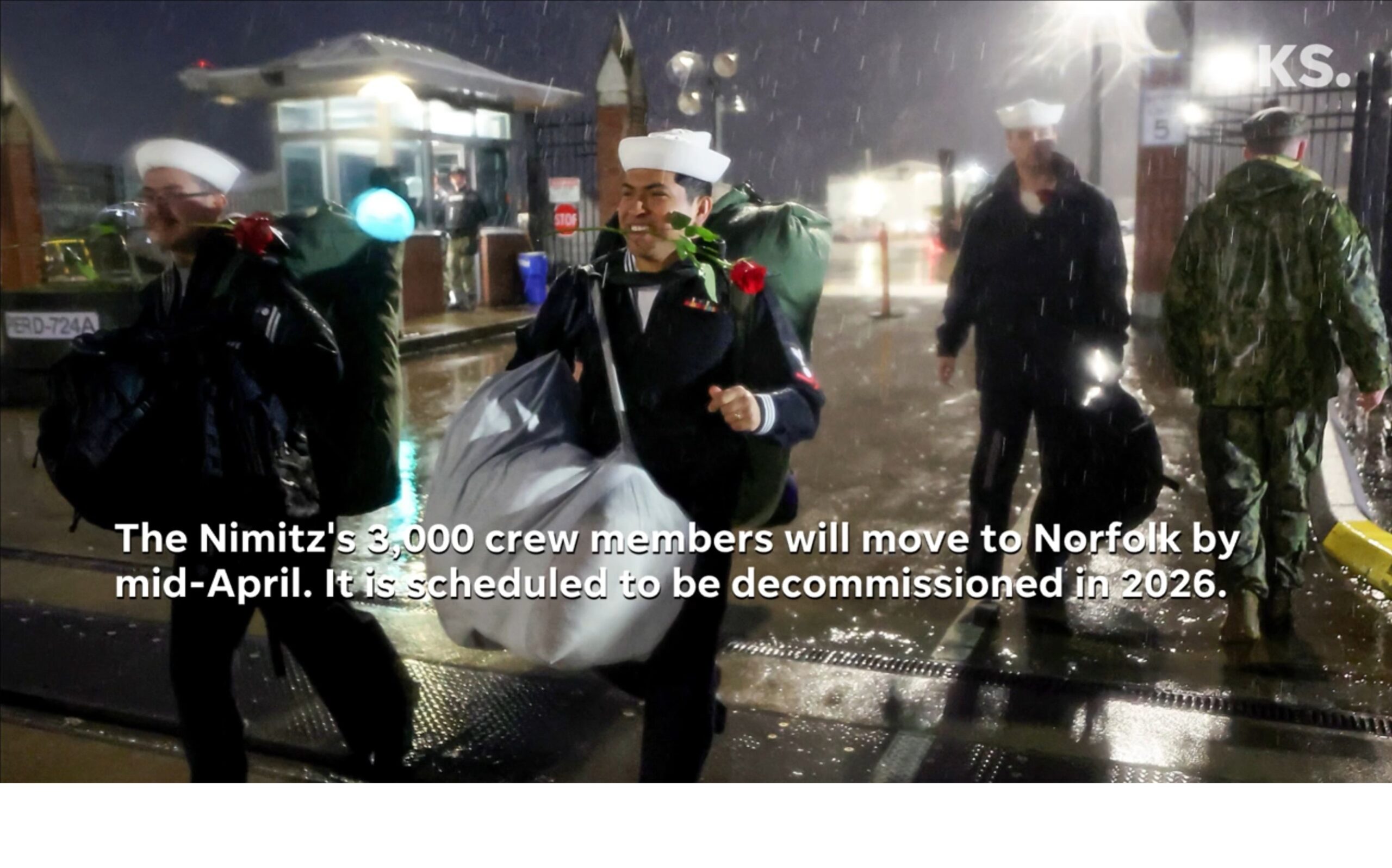
From navytimes.com:
The USS Nimitz aircraft carrier docked in its homeport of Naval Base Kitsap in Bremerton, Washington, on Tuesday for what is scheduled to be its final visit there. The Nimitz returned from a nine-month deployment to the U.S. 3rd, 5th and 7th Fleets that began March 21 when it set sail from Kitsap.
“We have traveled more than two-thirds of this planet during this nine-month deployment, and I cannot overstate the positive impact Nimitz Strike Group has made as part of our mission to maintain peace through strength by sustaining credible deterrence alongside our allies and partners,” said Rear Adm. Fred Goldhammer, commander of Carrier Strike Group 11, according to a release.
The world’s oldest aircraft carrier, commissioned in 1975 with a service lifespan of 50 years, is set to return to Naval Station Norfolk, Virginia, in 2026 and be decommissioned.
It was 250 years ago when English writer Jane Austen was born— on 16 Dec. 1775 in the village of Steventon, north Hampshire, England.
From Wikipedia:
Austen’s plots often explore the dependence of women on marriage for the pursuit of favorable social standing and economic security.
Her works are implicit critiques of the novels of sensibility of the second half of the 18th century and are part of the transition to 19th-century literary realism.
Her use of social commentary, realism, wit, and irony have earned her acclaim amongst critics and scholars.
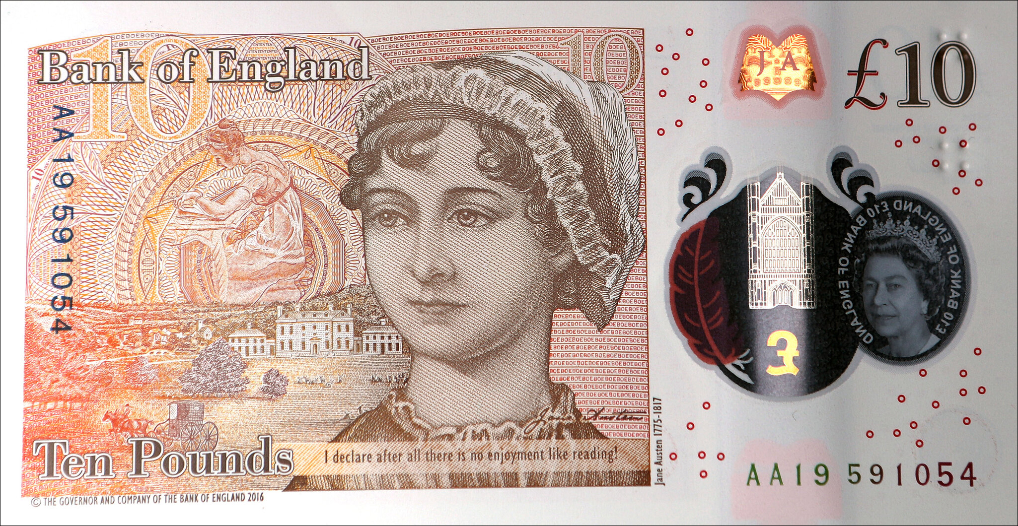
The note carries the quotation, “I declare after all there is no enjoyment like reading!”, said by Caroline Bingley in ‘Pride and Prejudice’ (1813).
P.S. As far back as 2015, then-Treasury Secretary Jack Lew announced that there were plans afoot to ‘feature the likeness of a woman who has played a major role in American history and has been a champion for democracy’ (no specific name was mentioned then). As of now, the U.S. is actively working to feature women on its banknotes, with plans to put abolitionist Harriet Tubman on the $20 bill, replacing Andrew Jackson, with a target release around 2030, coinciding with security updates for other denominations, though the process has faced delays— delays of a logistical and political kind.
The rain has started again, and there was a failure in the levee alongside the Green River in Tukwila at around 11:30 a.m.
King County emergency officials sent out a warning of ‘life threatening flash flooding’ for the nearby low-lying area of some 46,000 residents.
There were no injuries as a result of the breach, though. Soon thereafter the area under threat was narrowed down and involved only about 1,100 people, who were urged to evacuate.
The county’s flash flood warning ended by 6.30 pm.
