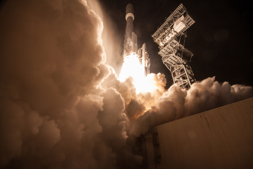
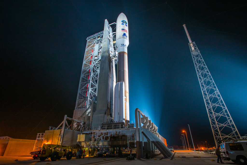
I see I missed the GOES-R satellite launch on Nov 19 – a sophisticated new weather satellite that will beam weather images in 4 times the current resolution, and scan the atmosphere 5 times quicker. In about another week, once GOES-R is situated in orbit 22,300 miles above Earth, it will be known as GOES-16. Within a year, after undergoing a checkout and validation of its six instruments, the new satellite will become operational. Check out the description NOAA scientist Dr. Steve Goodman gave of the lightning mapper –
The GOES-R Geostationary Lightning Mapper (GLM) is a total lightning optical detector of in-cloud lightning and also lightning that strikes the earth, which we also call cloud-to-ground lightning. Ground-based lightning network data that you might see on TV use a network of radio receivers to locate the lightning. The lightning mapper is an optical instrument most correctly described as a transient event detector, rather than an imager as you might think of a camera taking pictures very, very quickly. The instrument processes 1 million pixels every 2 milliseconds, and does a frame-to-frame subtraction of the background at each pixel to identify lightning. If the current signal exceeds the background pixel amplitude level by a certain amount, the pixel is flagged as a lightning event. We use spatial (8 km pixel), temporal (2 millisecond sampling rate), and spectral filtering (we use the OI (1) oxygen emission line triple centered at 7774 nm) to detect the lightning optical pulse against the sunlit cloud top. Lastly, we do the frame-to-frame background subtraction mentioned above. The instrument processes all these data at 20 MHz and transmits all the detected data (lightning plus false non-lightning events) to the ground at 7.7 MB/sec. On the ground there are data processing algorithms to convert the detected signal to a geophysical radiance, geolocate, and assign attributes for each pixel. These pixels are further clustered in space and time to create “lightning flashes.” Thus, the final product that streams to users is a lightning flash with information on the radiance, latitude, longitude, and time. We cannot uniquely discriminate flash type- in-cloud or cloud-to-ground – on an individual flash basis; however, studies have shown that an increase in total lightning activity dominated by the in-cloud component is often a precursor to severe weather on the ground (tornado, wind, hail).