There was no sun here— on this day that the Romans had named after the sun. There is going to be snow in the mountains tomorrow and Tuesday, and freezing cold towards the end of the week.

a weblog of whereabouts & interests, since 2010
There was no sun here— on this day that the Romans had named after the sun. There is going to be snow in the mountains tomorrow and Tuesday, and freezing cold towards the end of the week.
Happy Friday.
Here’s a picture with a report from the Anchorage Police Dept. that was posted on Facebook earlier this week.


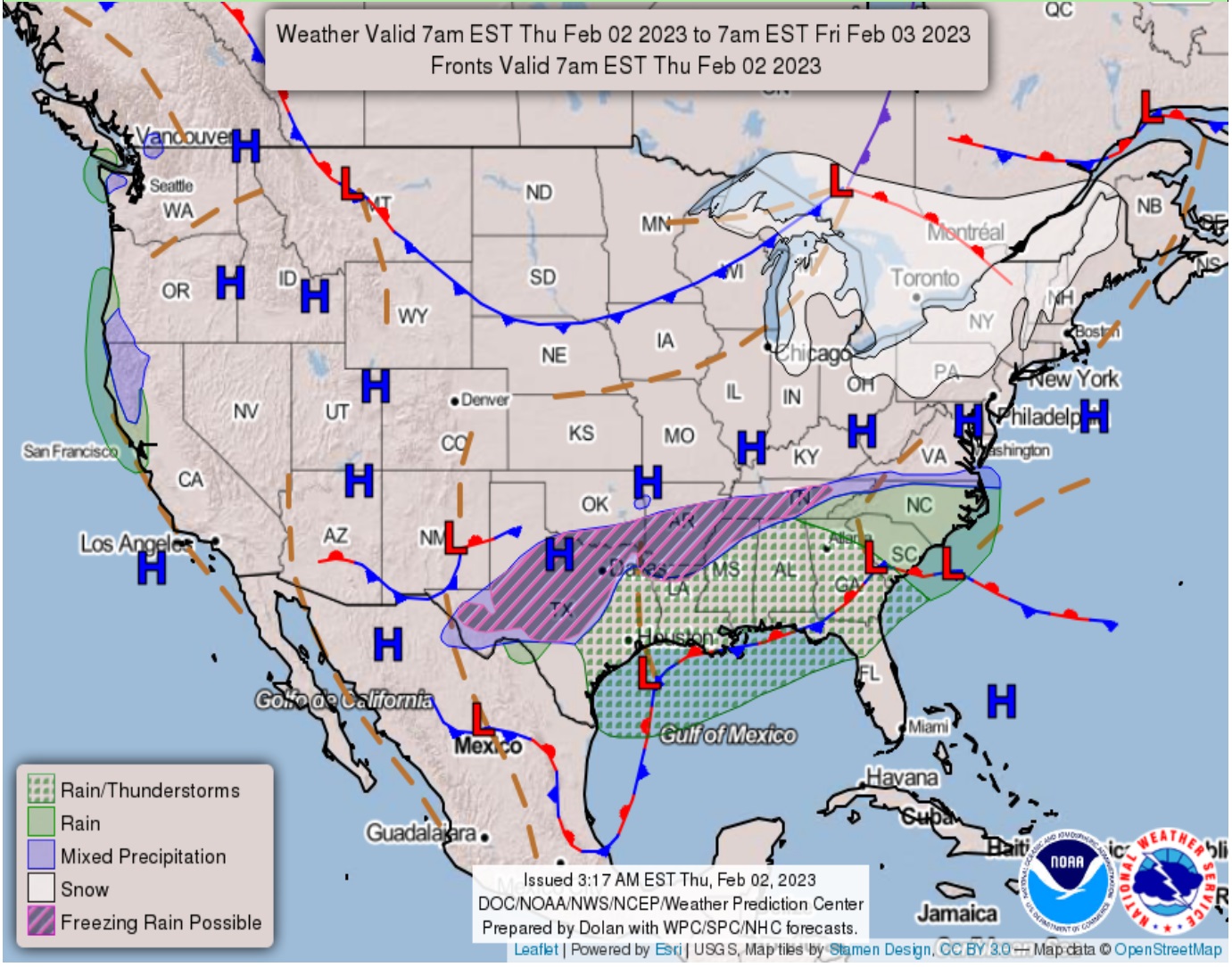
The groundhog from Pennsylvania says there will be 6 more weeks of winter. (Of course there will be, looking at the weather map).
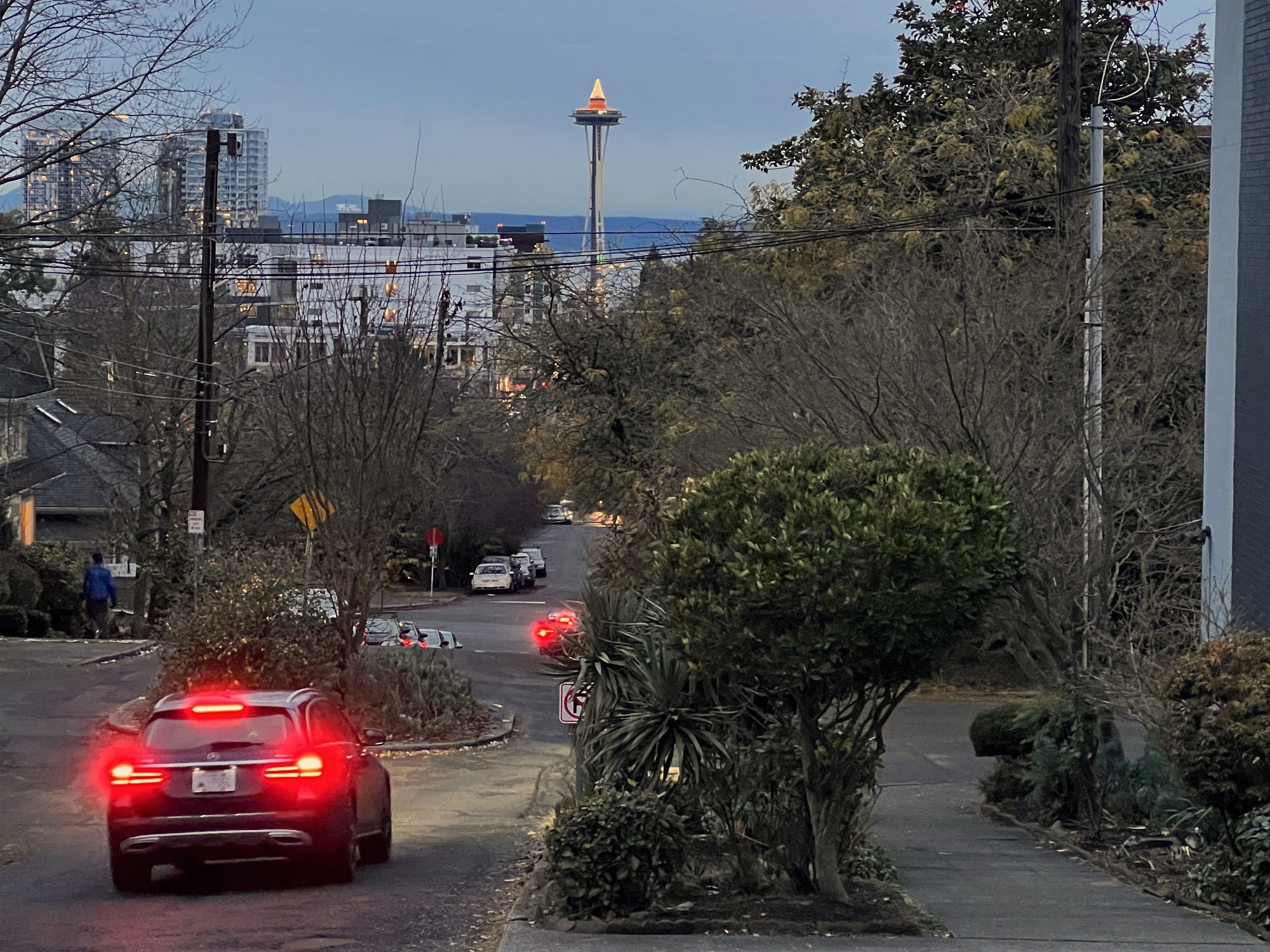
The 51 °F (11 °C ) and calm weather we had here in the city today felt almost balmy, though. I walked back to Capitol Hill from downtown, after taking the No 10 bus to get there.
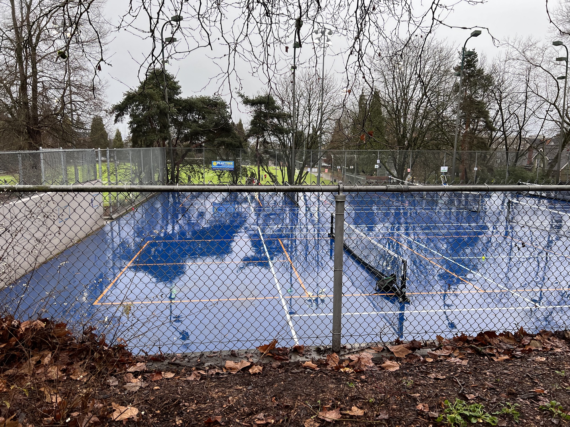
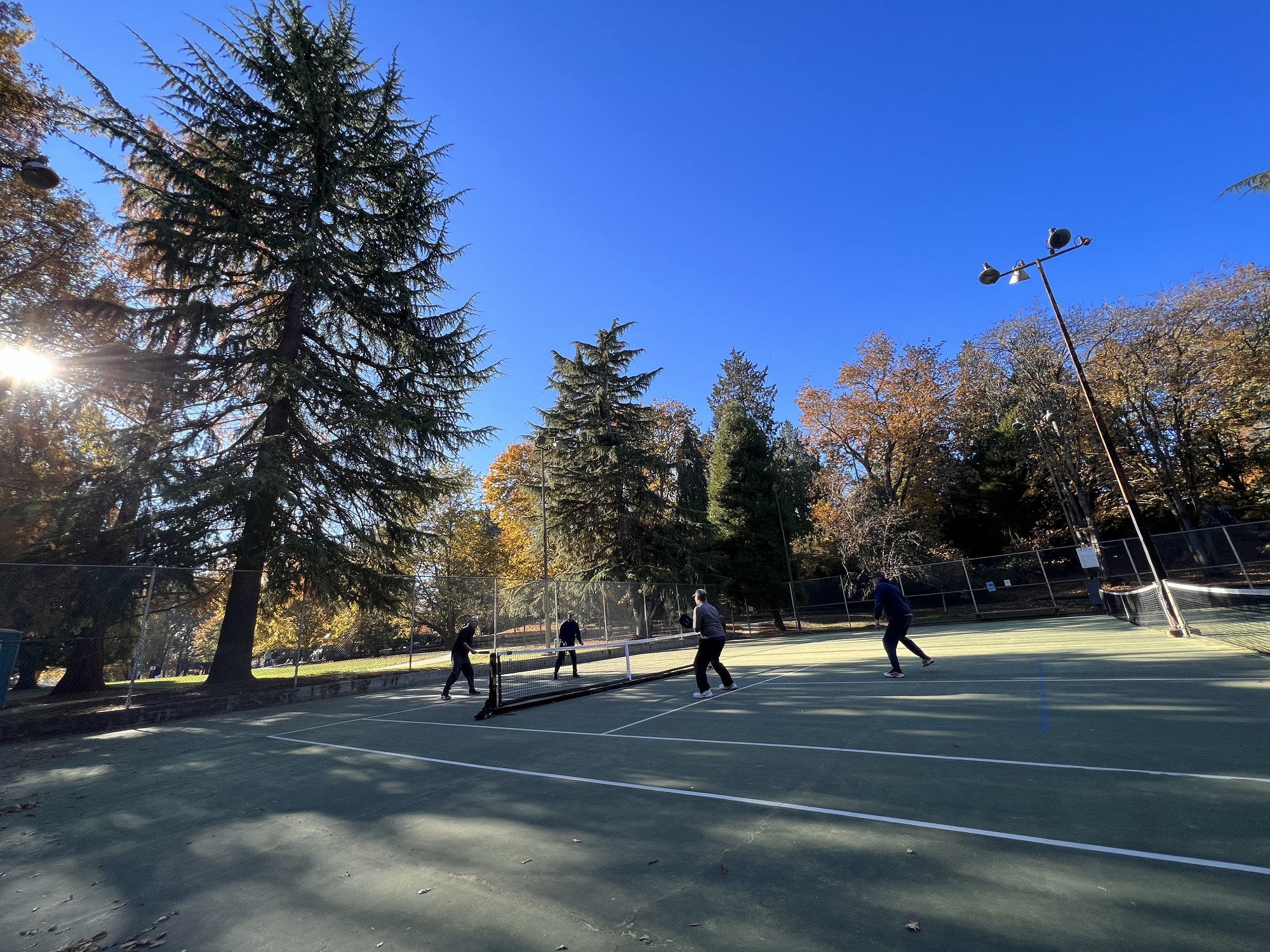
It was warm enough (48 °F / 9 °C) for the amigos to play a little pickleball this afternoon.

It’s a challenge to go for a run outside, or to play sport outdoors in the Pacific Northwest winter.
When it’s clear and dry, it may be too cold.
When it’s cloudy and milder, it may be raining.
There’s always skiing and snowboarding in the mountains, of course.
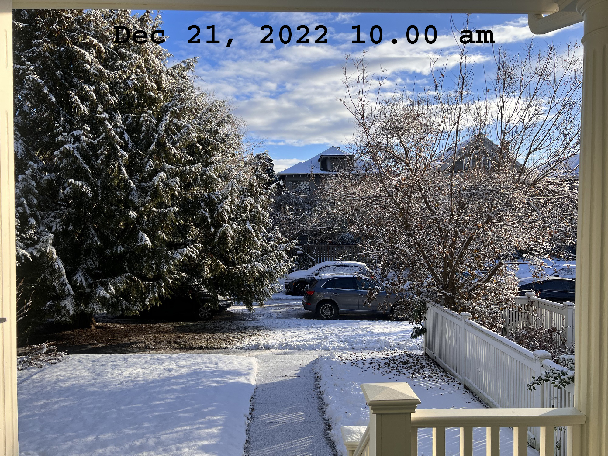
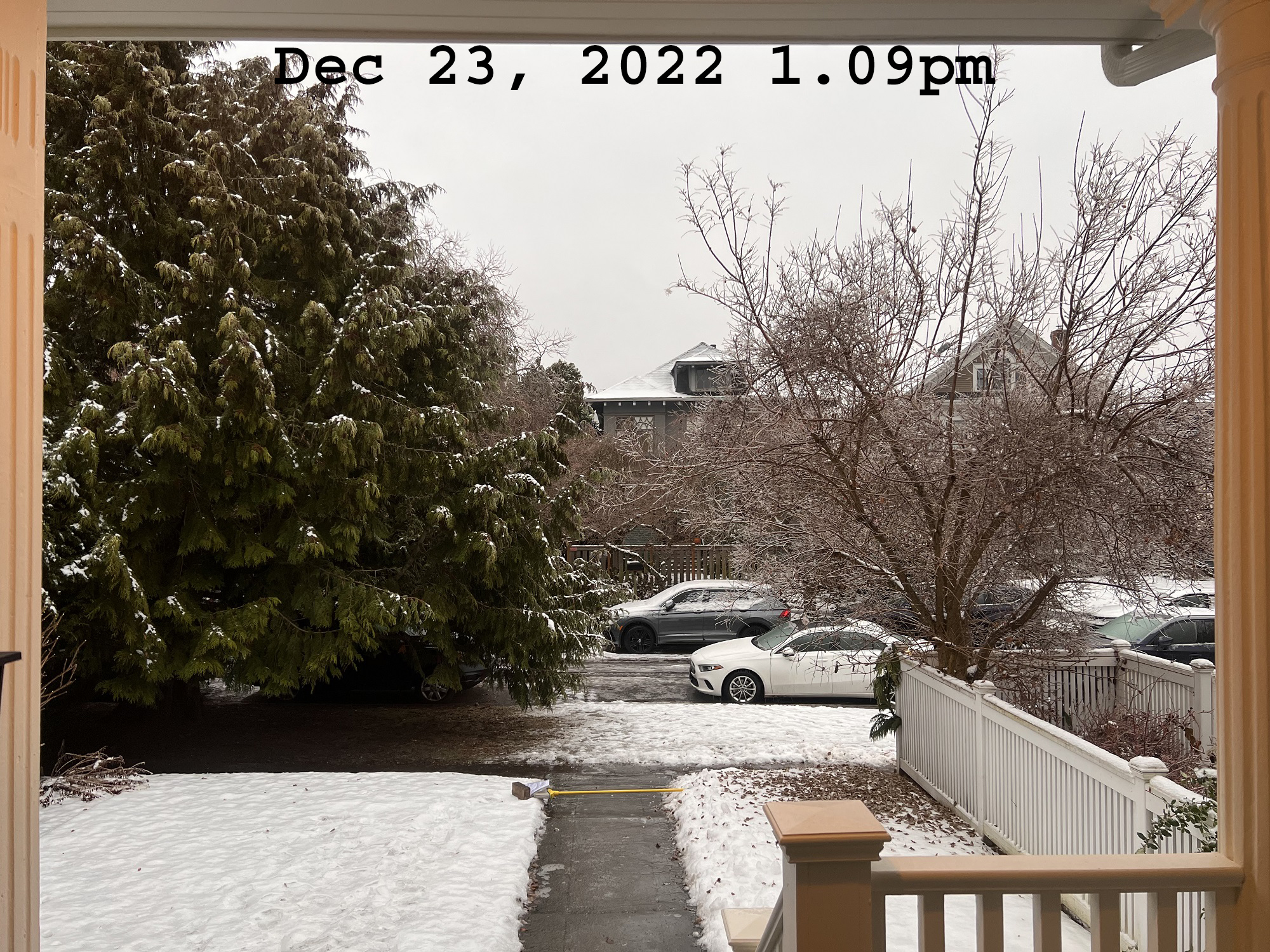
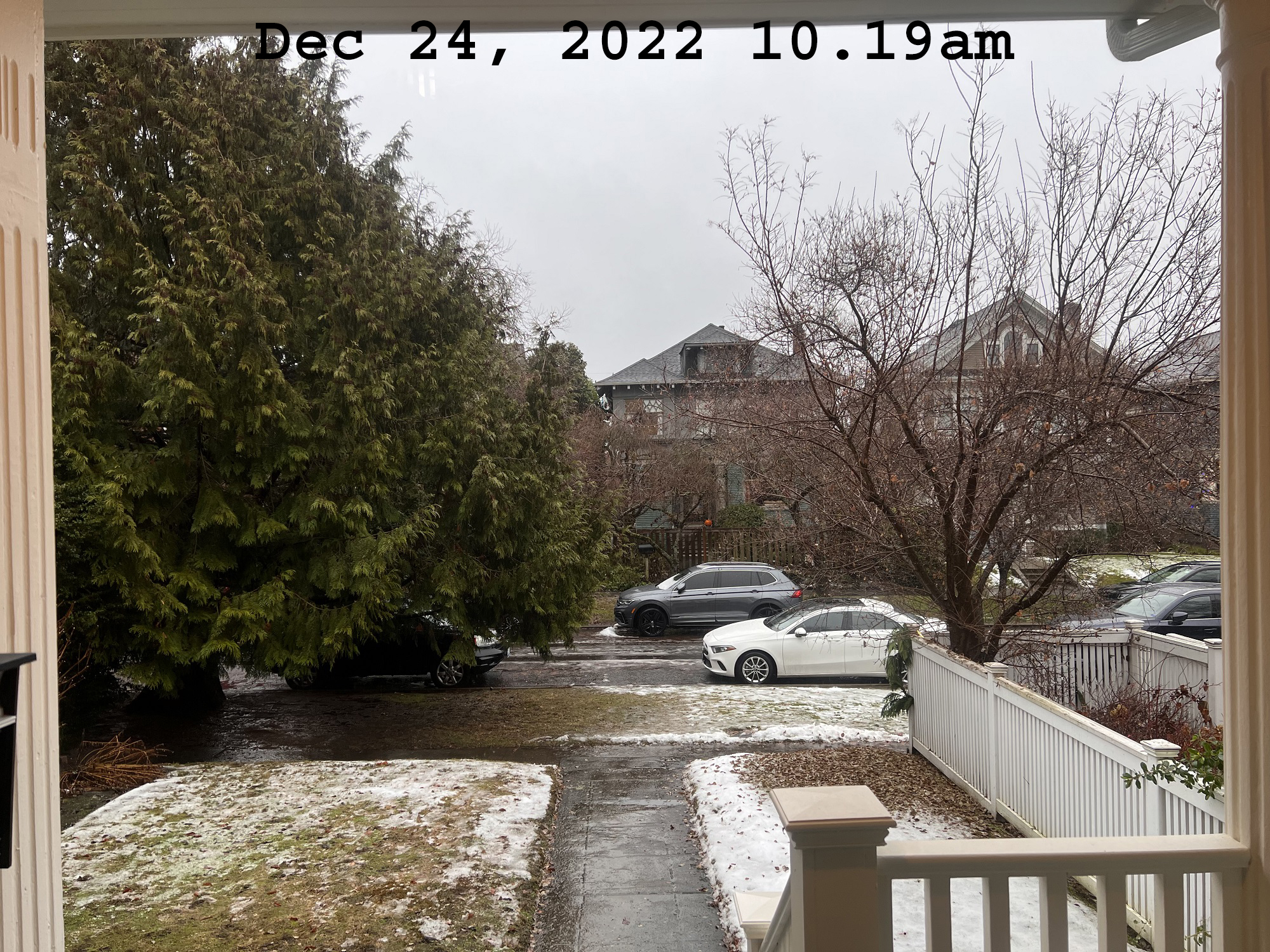
There was snow on Wednesday, sleet and ice on Friday, and lots of rain on Saturday to clear it all up for Sunday.

In restless dreams, I walked alone
Narrow streets of cobblestone
‘Neath the halo of a street lamp
I turned my collar to the cold and damp
– From ‘The Sound of Silence’ by Simon & Garfunkel (1964)
I stepped out of my house into the cold to take a few pictures of the fog, late last night.


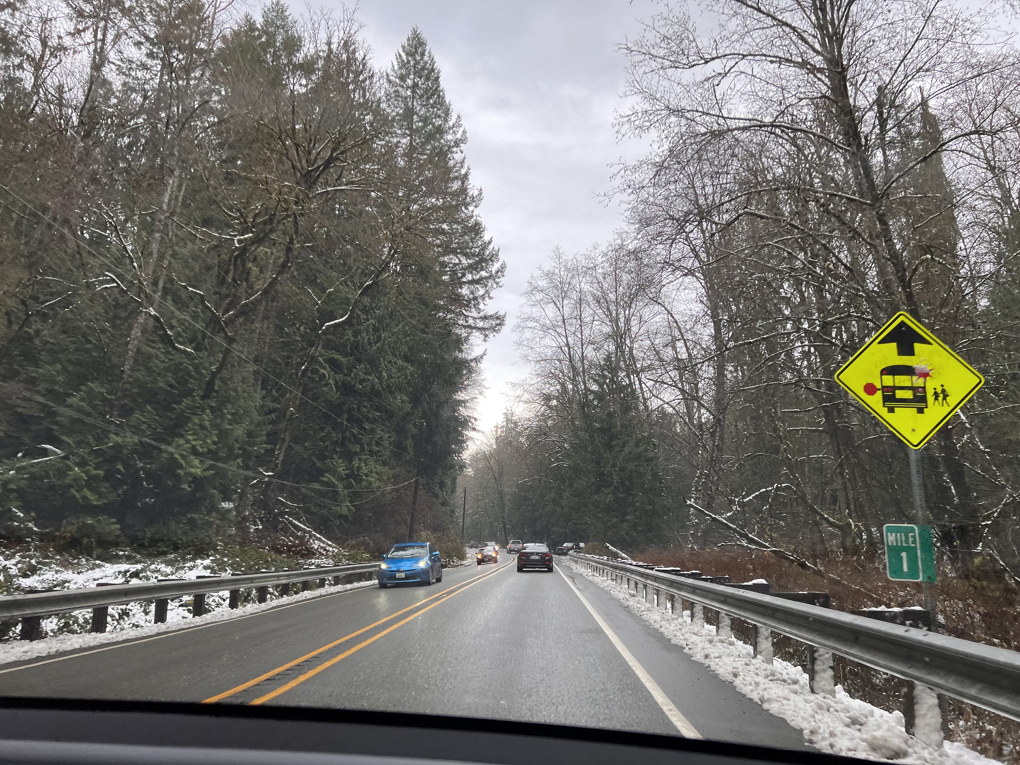
There’s a little snow on the way this weekend for the low-lying areas around Puget Sound, say the meteorologists.

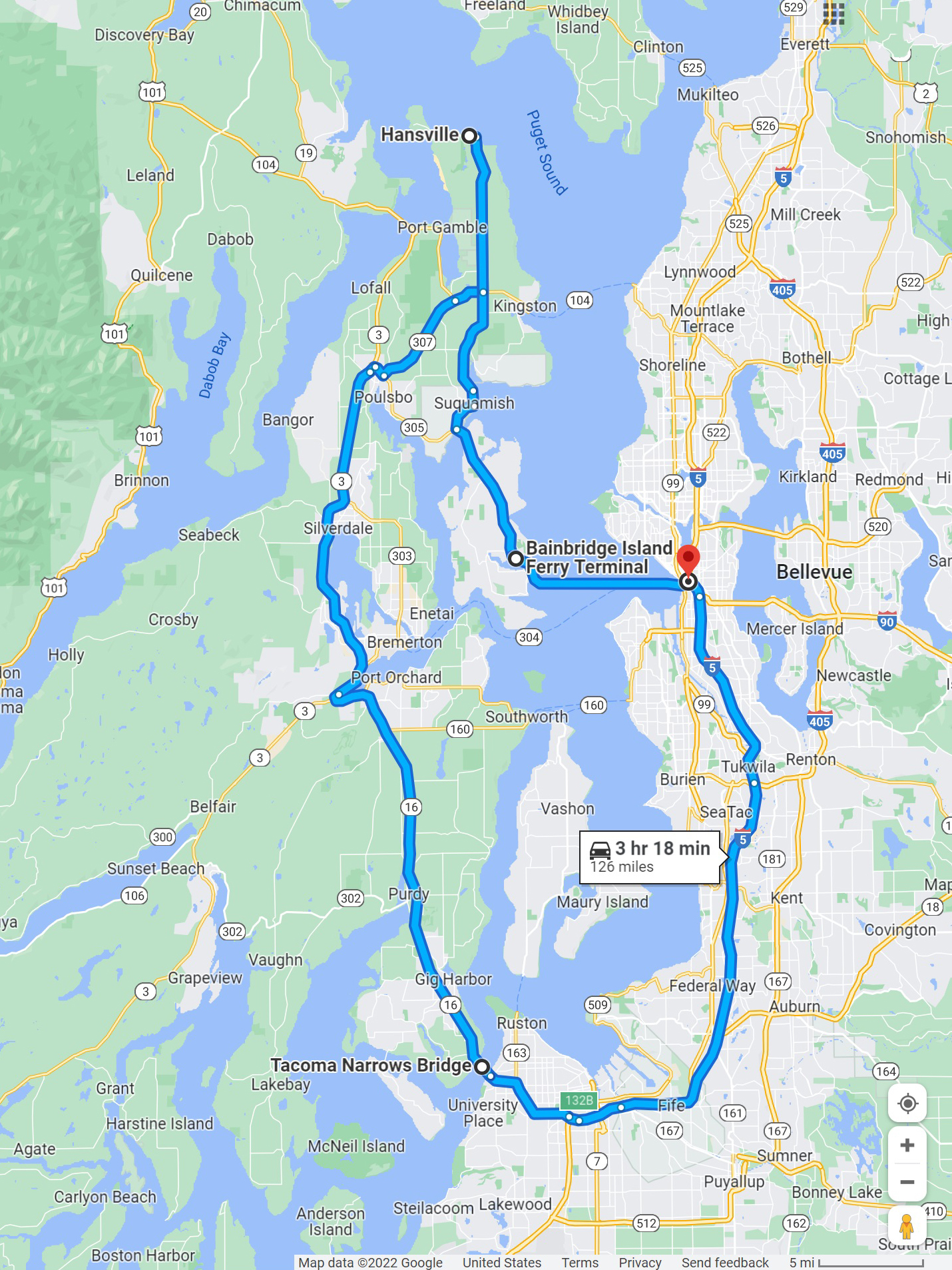
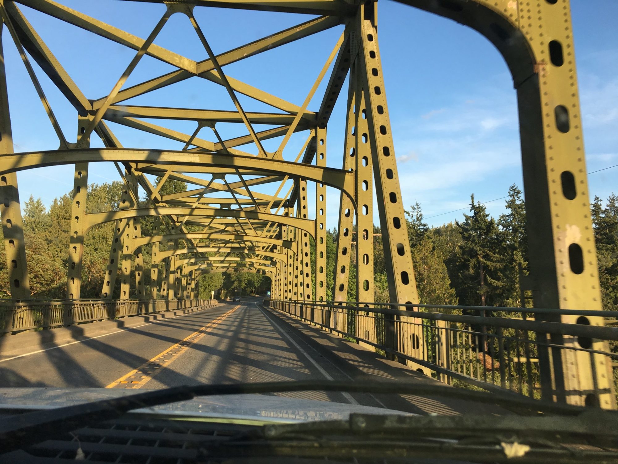
I tagged along with Bryan for a trip to Hansville, today.

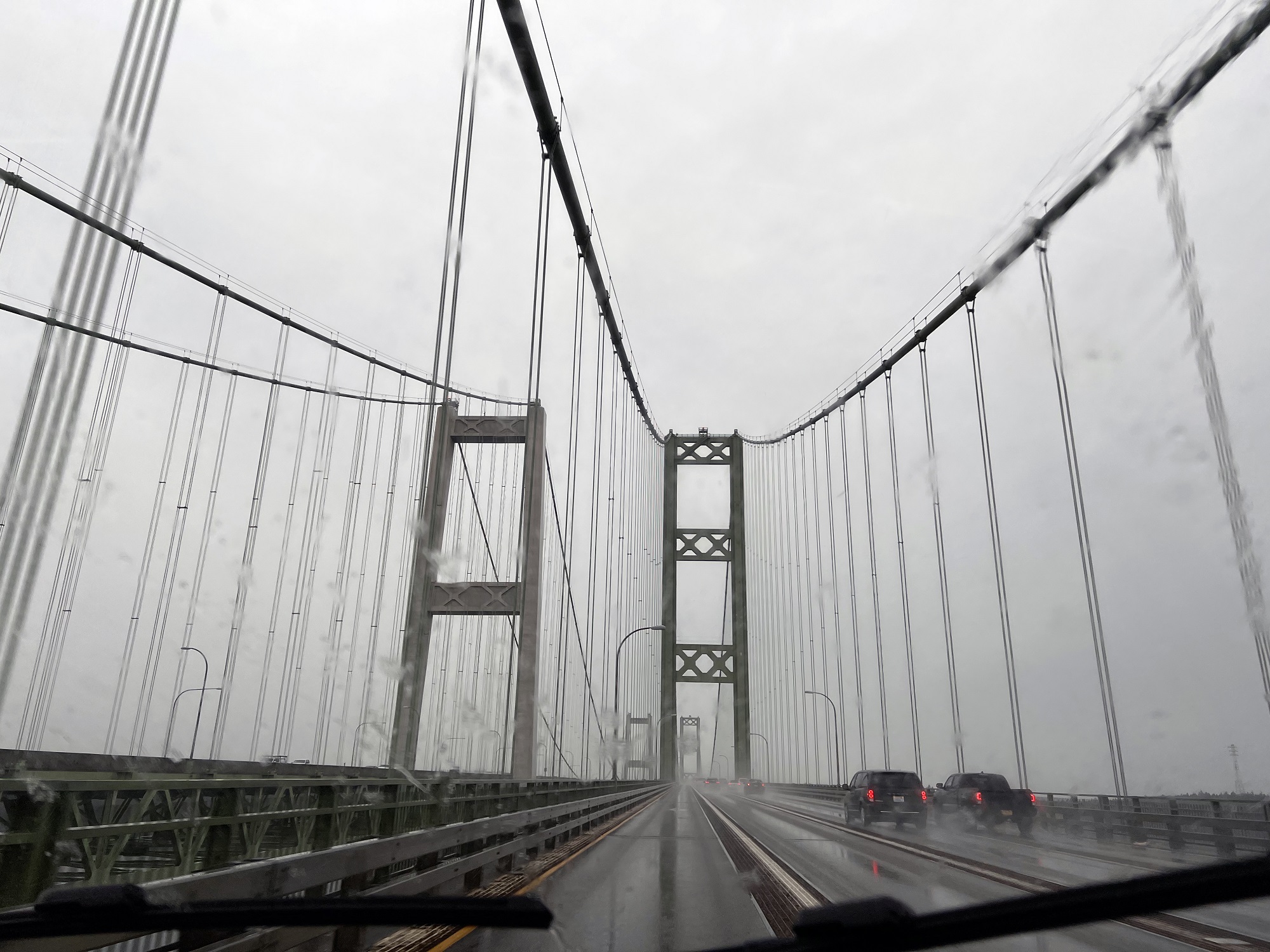
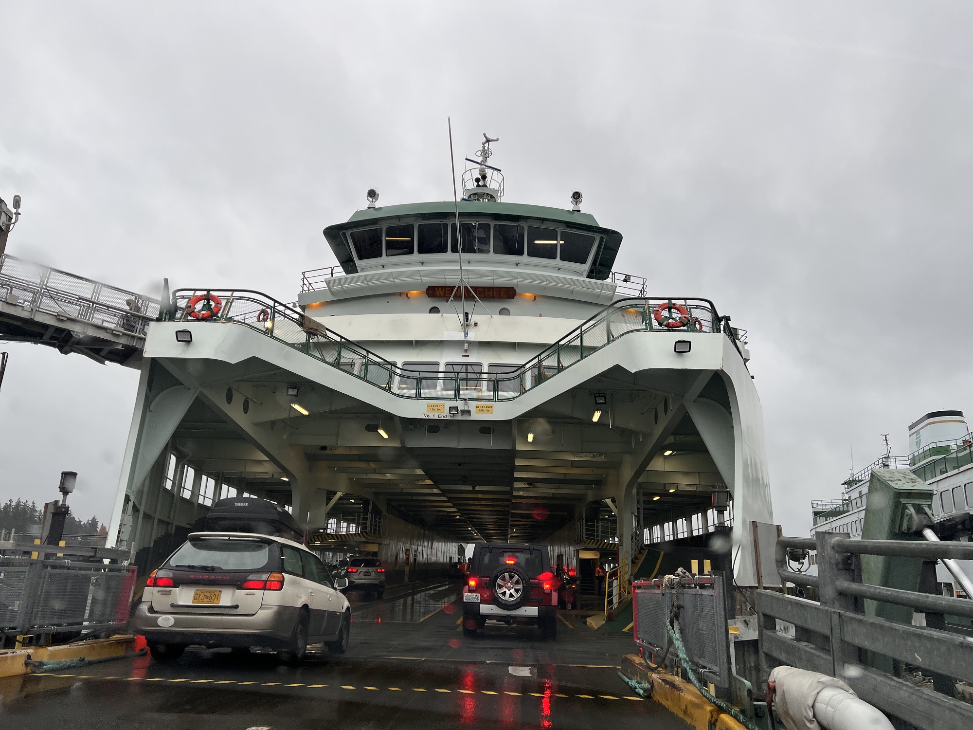
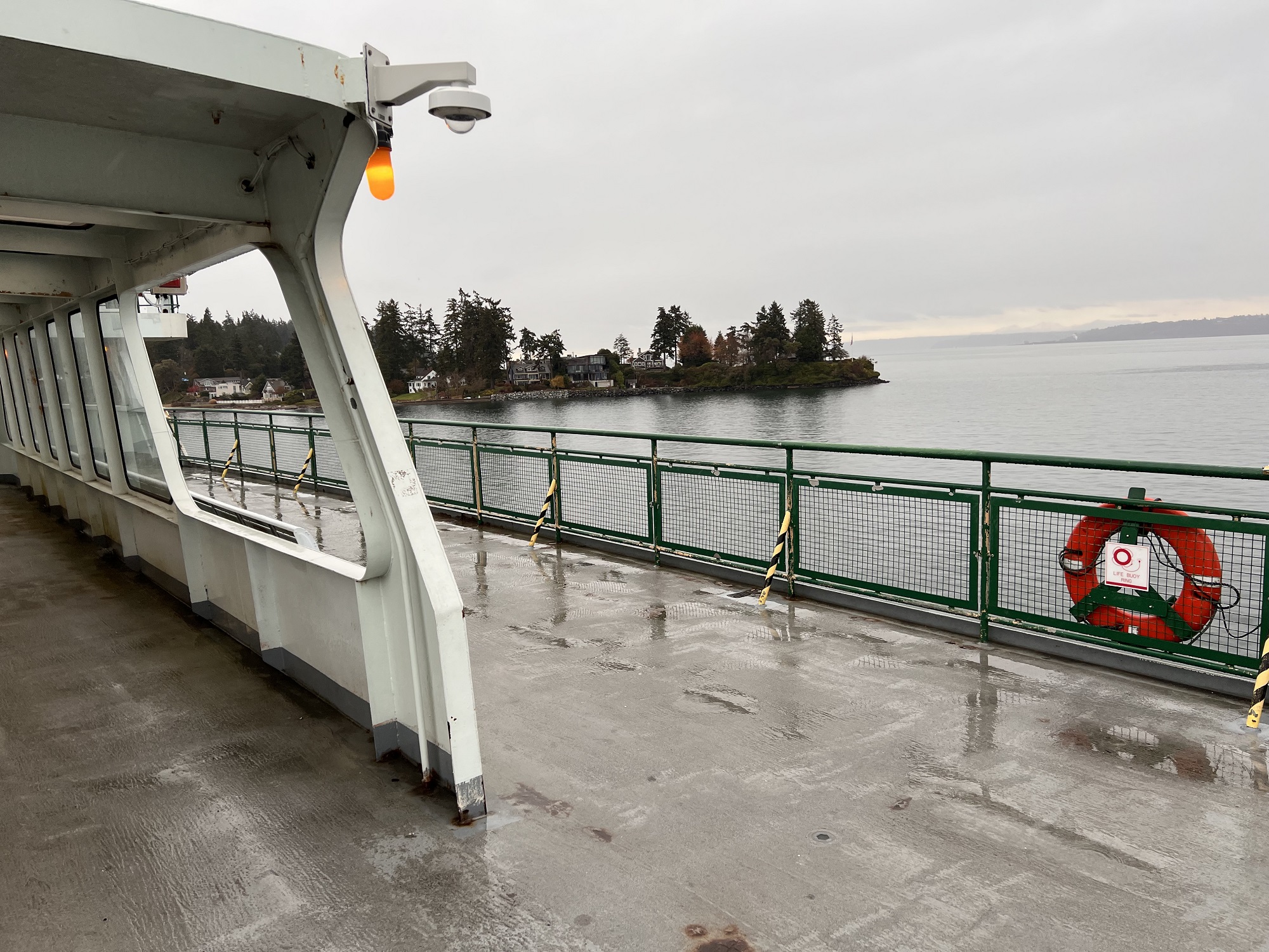
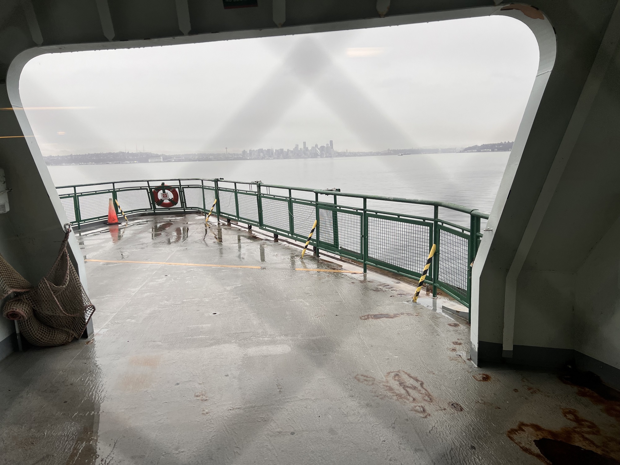
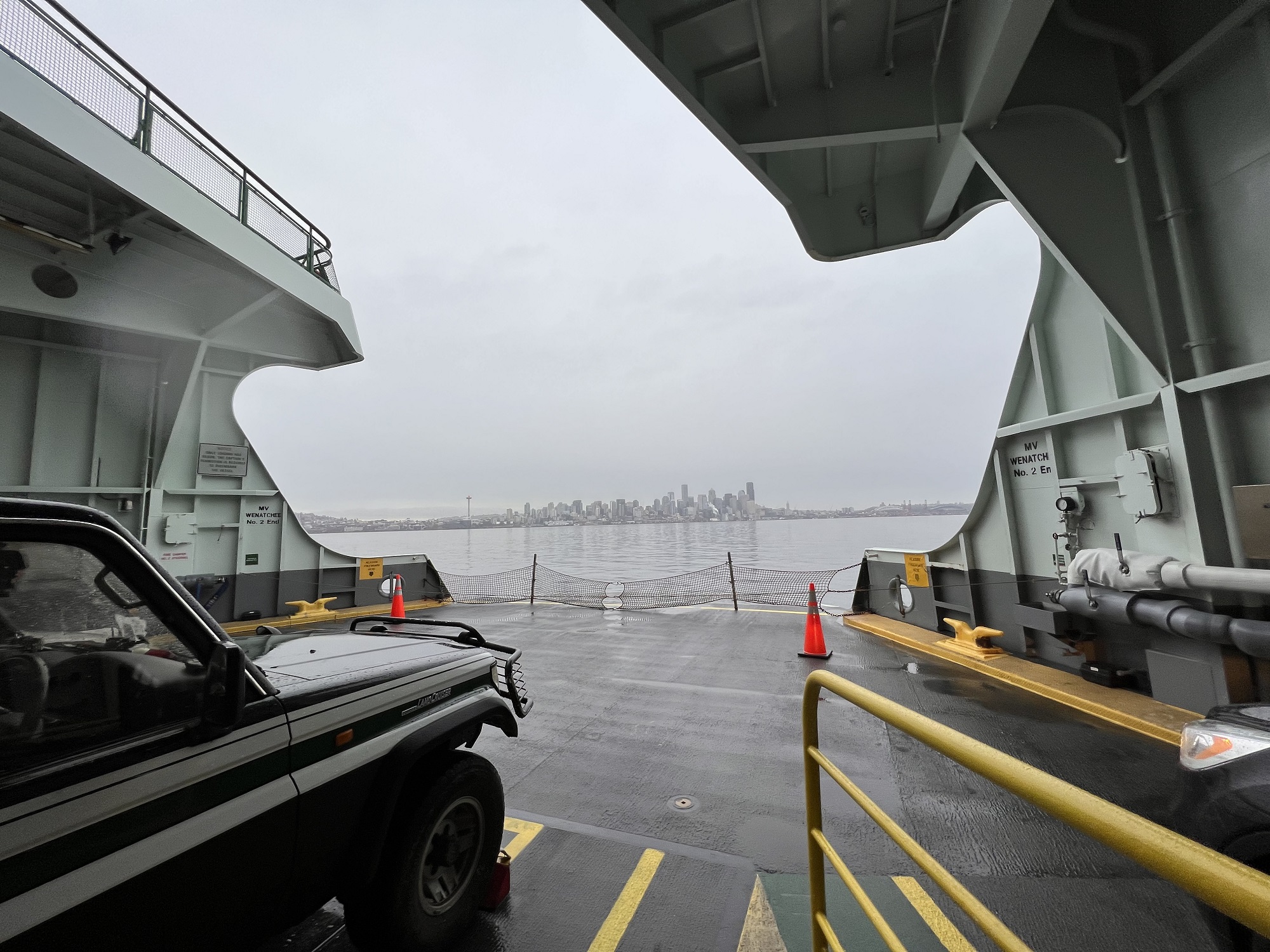
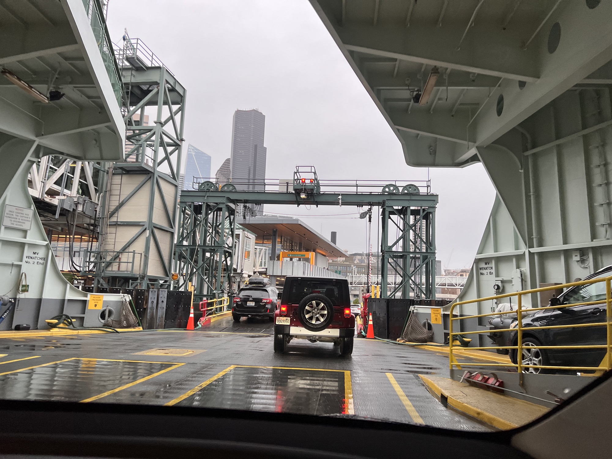

We drove south and around Puget Sound to get to the Kitsap Peninsula, and then took the ferry from the Bainbridge Island Terminal to get back to Seattle.
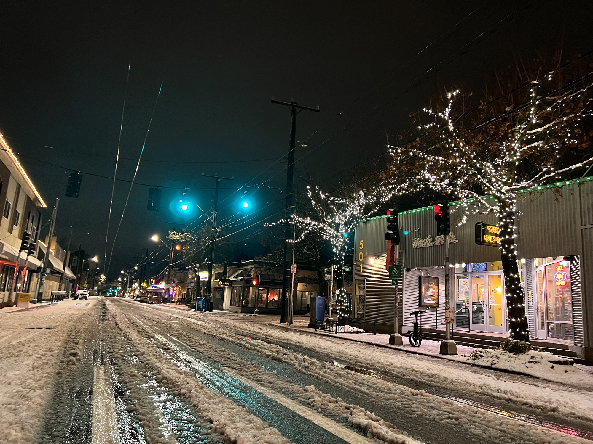
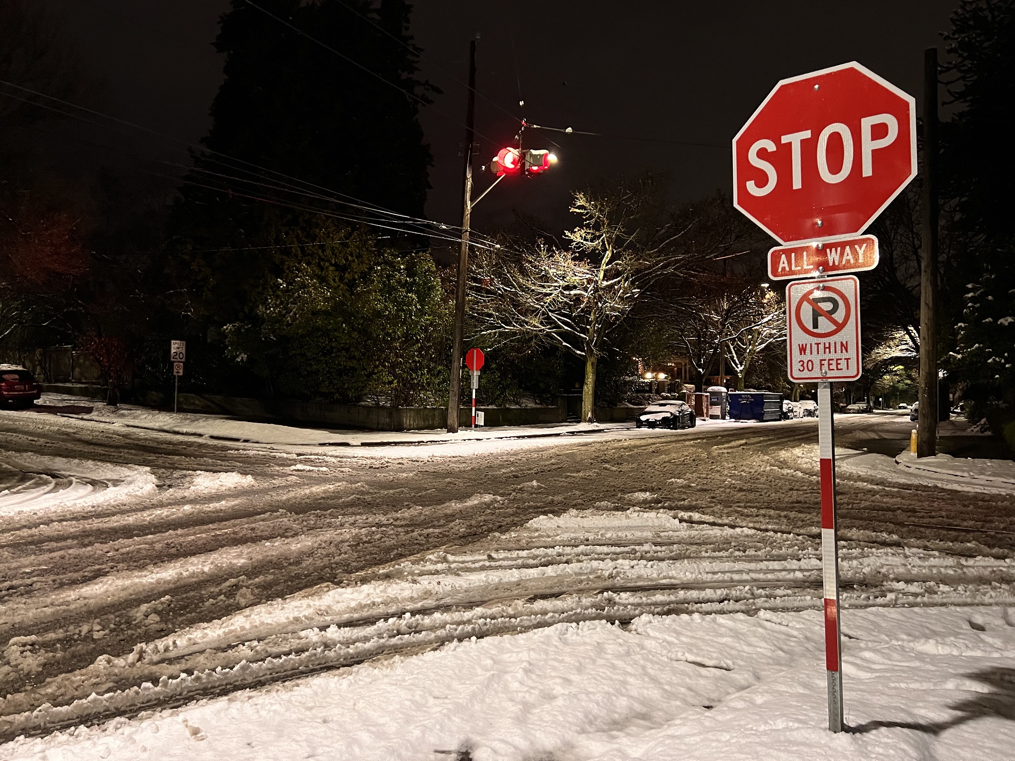
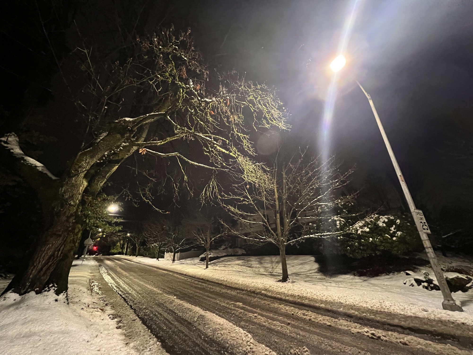
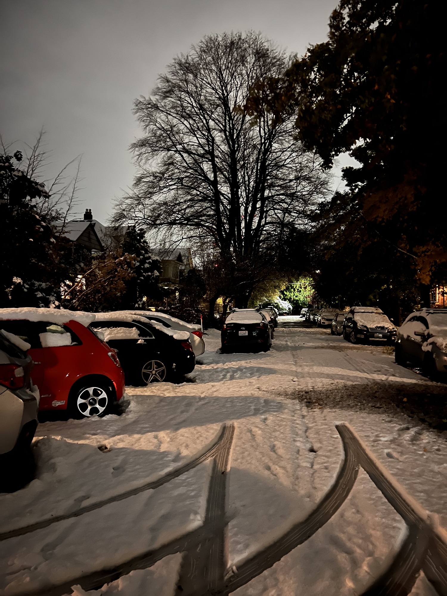
There was more snow on Friday night, with about 2 inches on the ground on Saturday morning.
I ventured out into the cold for a few pictures before the start of the USA-Netherlands World Cup match.
Congrats to Oranje for the win!
Sunlight and heat were in short supply today (the high 38 °F/ 3°C), but I ventured out for a short walk before it was completely dark.


Parts of the city of Seattle had a little snow on the ground on Tuesday morning (the first of the season), and there was more on Tuesday night.
Rain and a 4°C high melted most of the snow today, but there may be more snow tonight, and during the next day or two.


The rain is back after 14 days, an unusually dry stretch for November.
As of Monday, only 1.67″ had been recorded this month.
On average, November in Seattle sees 6.31″ of rain.

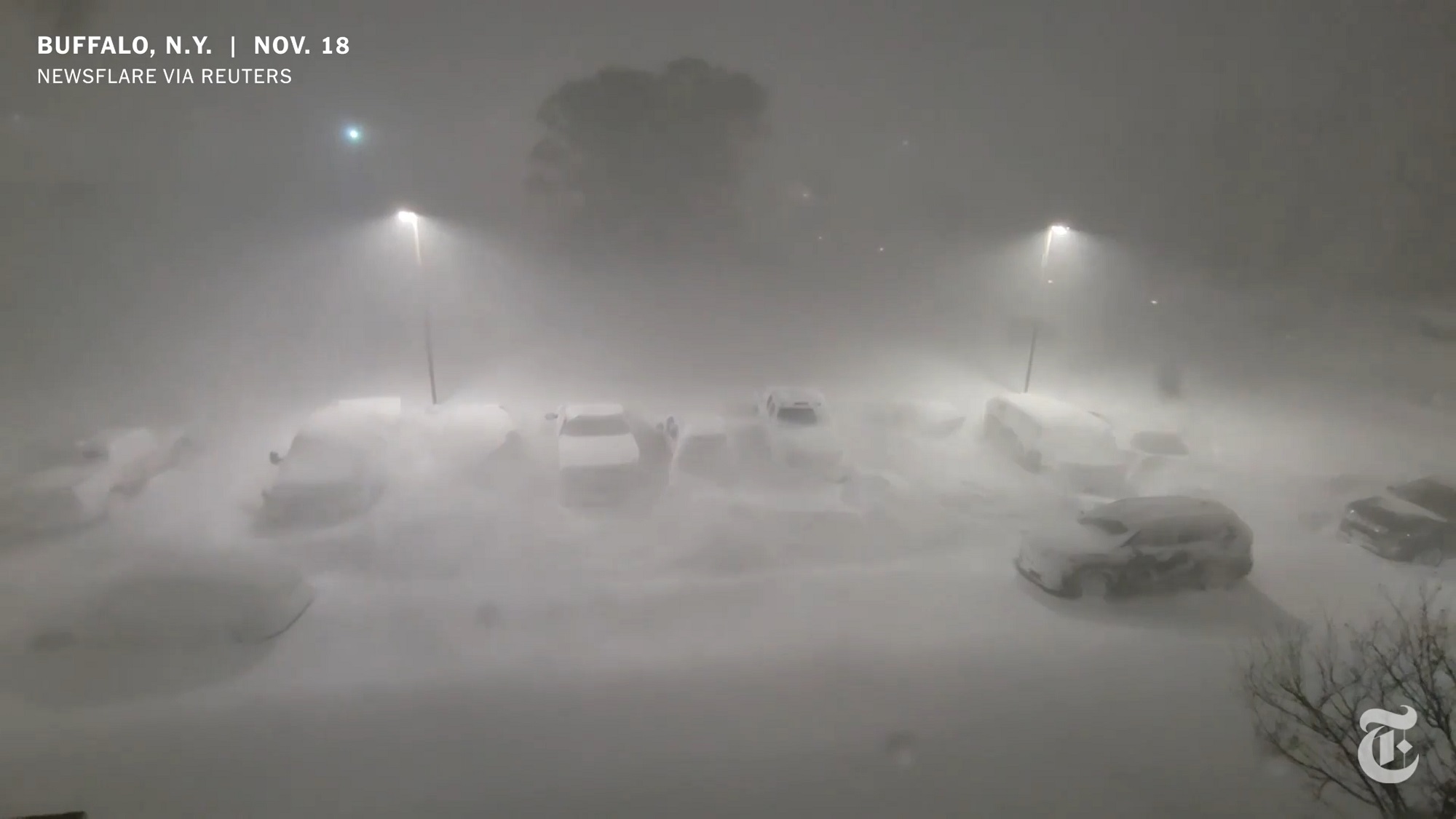
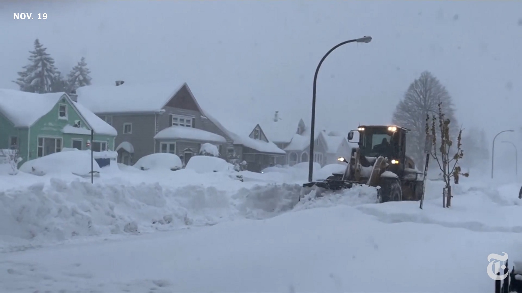
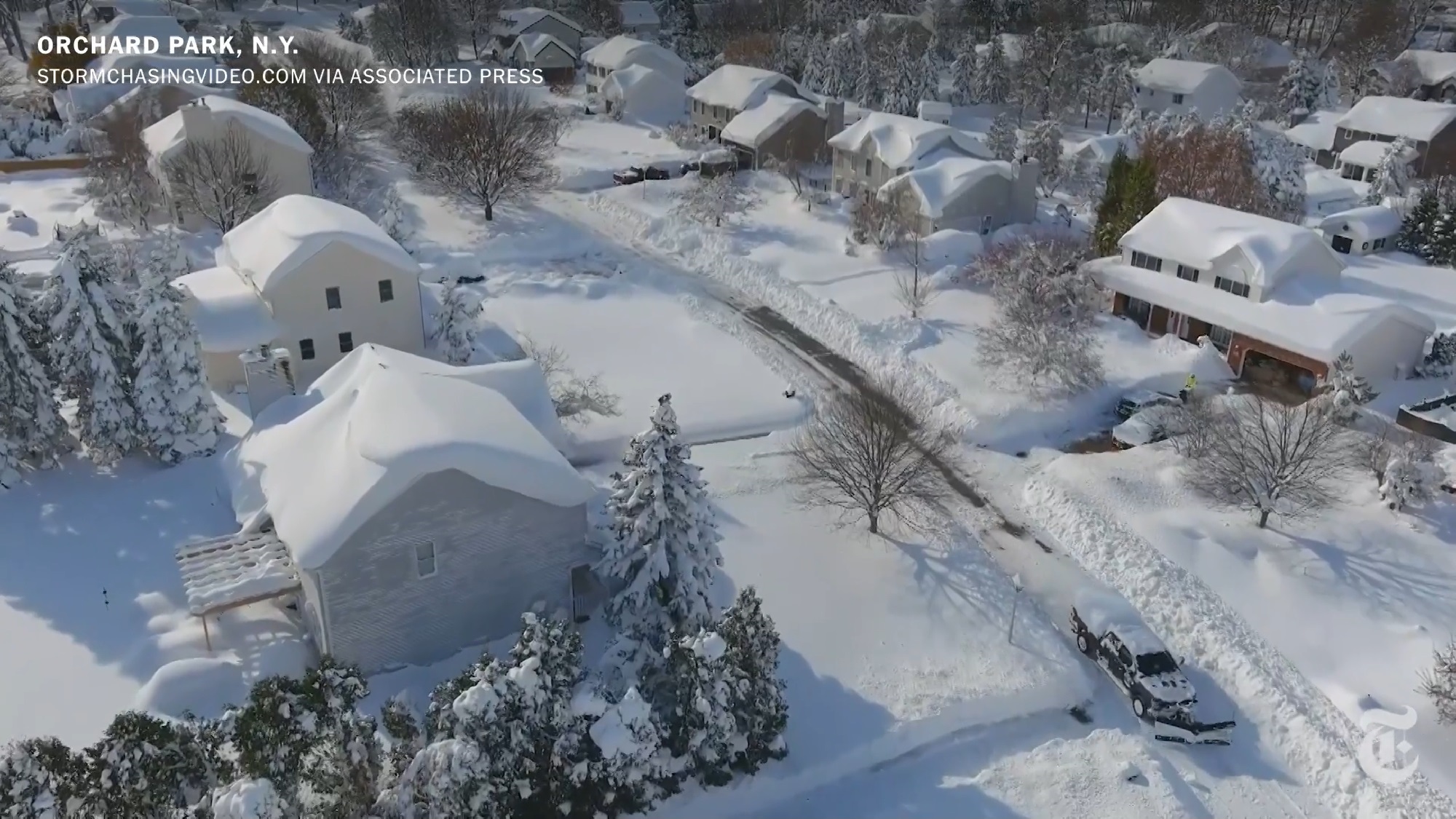
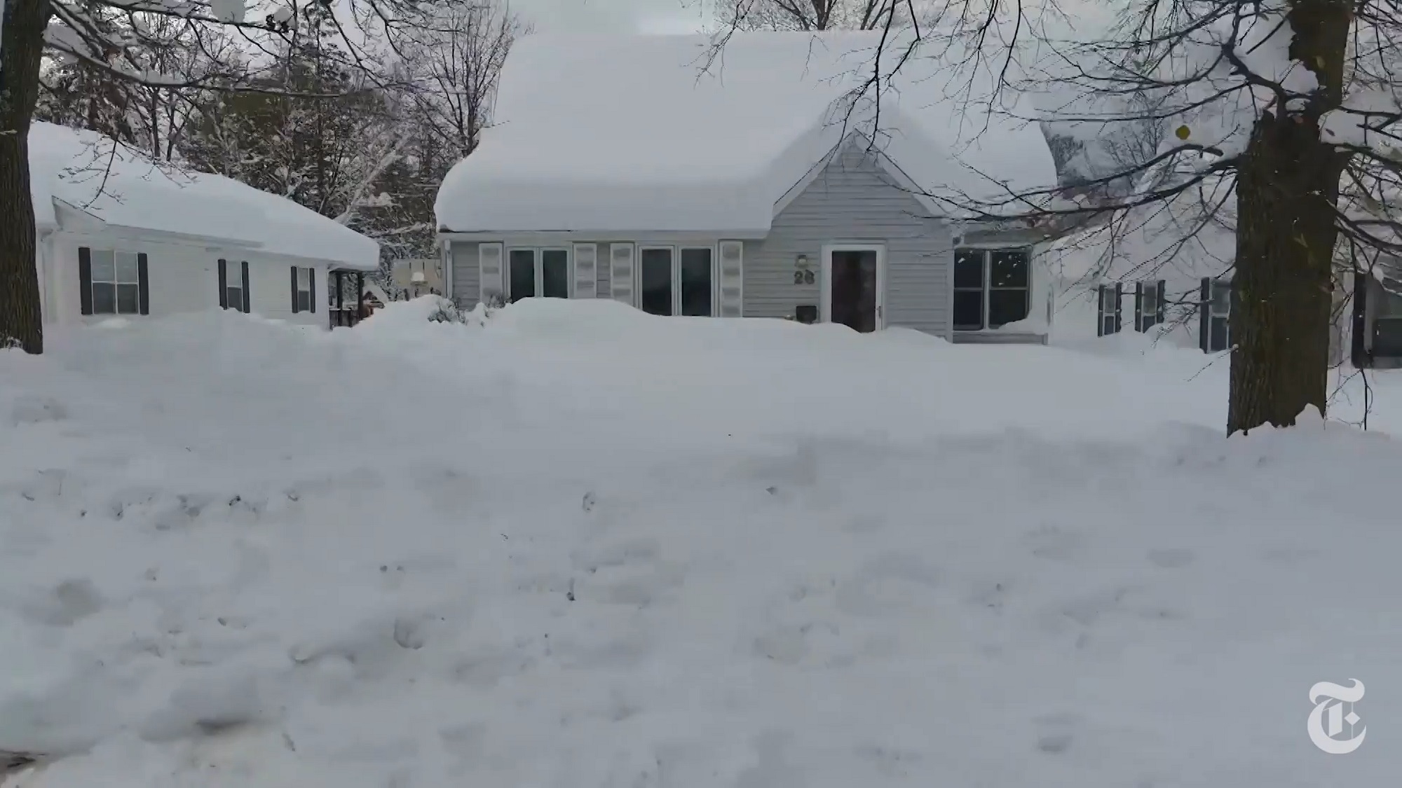
The city of Buffalo and its neighbors experienced potentially record-breaking snowfall, as officials said that more than 70 inches fell in Erie County — with more expected.
-Brendan Bannon for The New York Times

It was another day with nary a cloud in the sky.
The day’s high (47 °F / 8 °C) permitted outside activity, and the amigos were at it, on the Mount Baker pickle ball courts.
It was a hazy, sunny Sunday (81°F / 27 °C), warm for this late in the year.
Our 10-day forecast still does not show any rain.

From the New York Times:
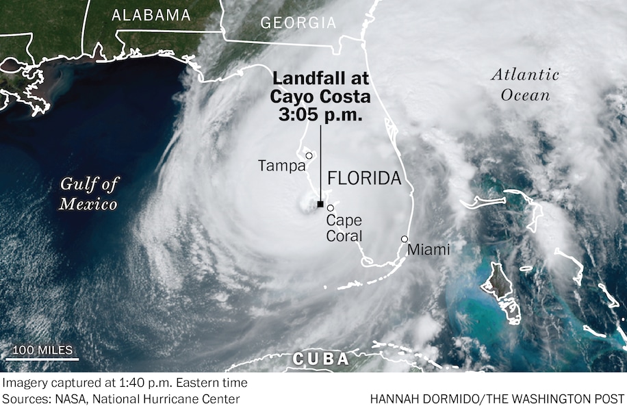
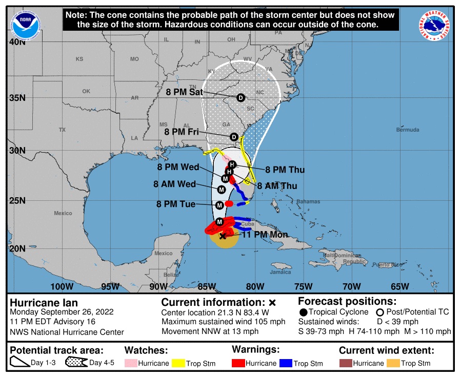
Millions of Florida residents faced a harrowing night as wind, rain and storm surge from Hurricane Ian pounded the southwestern coast and moved inland late Wednesday on a path toward Orlando, knocking out power to more than two million customers statewide.
The latest:
A storm surge of up to 12 feet submerged cars, knocked over houses and trapped residents near where the hurricane came ashore west of Fort Myers. Some places remained too dangerous for water rescues, officials said, adding that they were taking down addresses to deploy resources once it was safe.
Ian is among the most powerful storms to strike the United States in decades, and Gov. Ron DeSantis said it would go down as one of the strongest in Florida history. It was just shy of Category 5 status as it made landfall about 3 p.m., but had been downgraded to a Category 1 by Wednesday night.
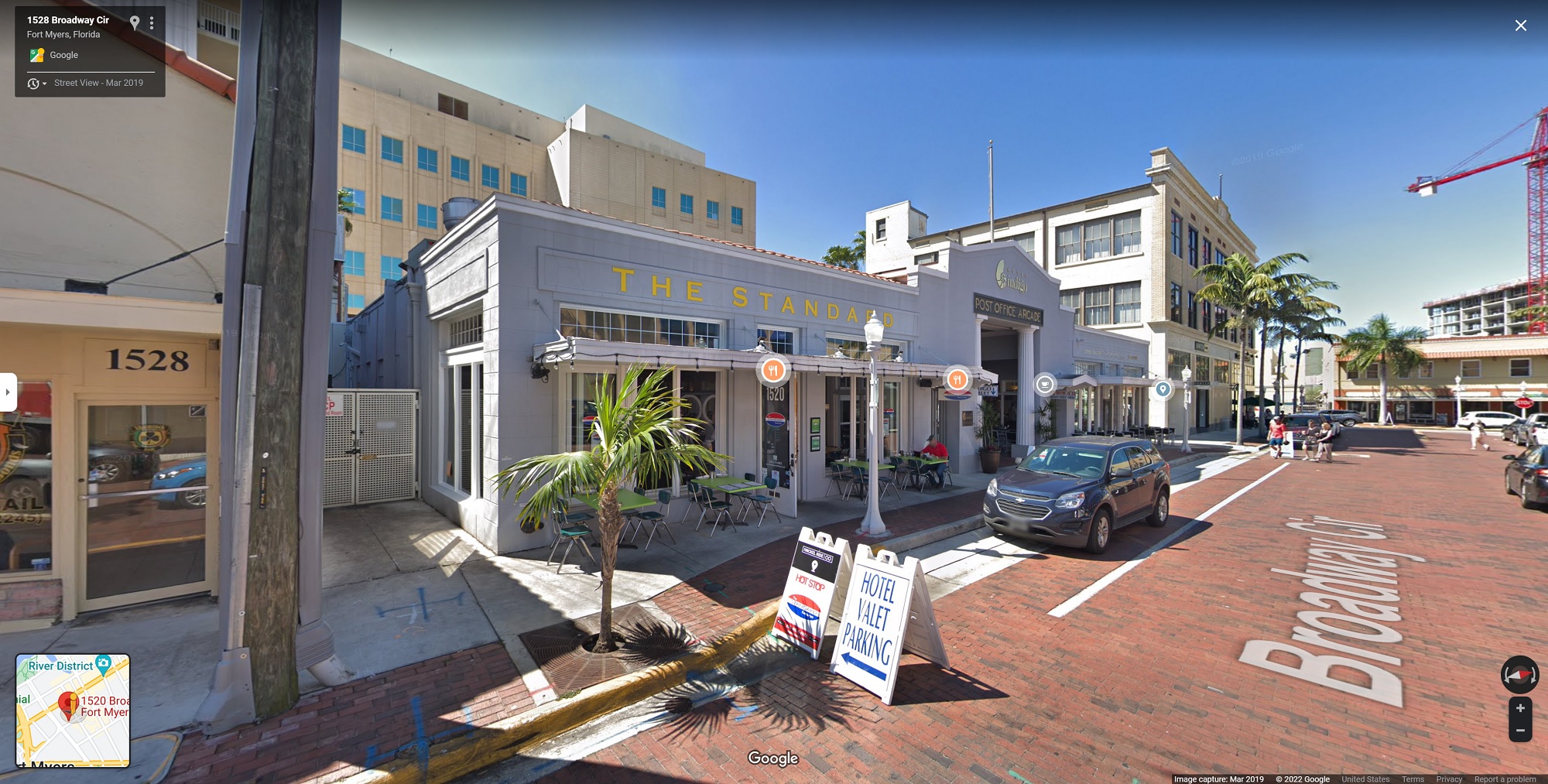
[Google Streetview, 2019]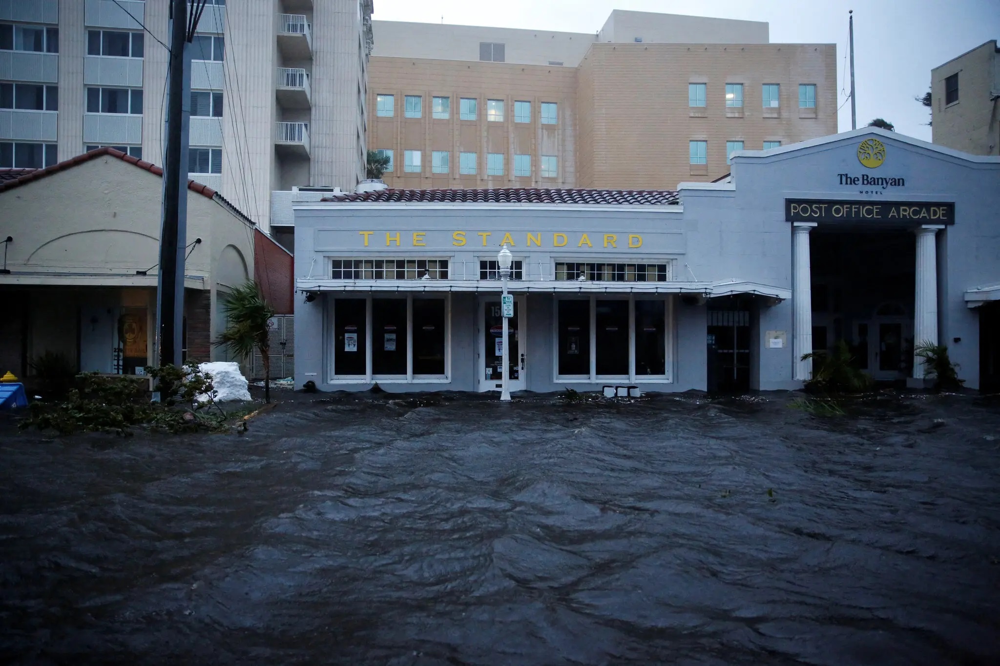
[Photo: Marco Bello/ Reuters]
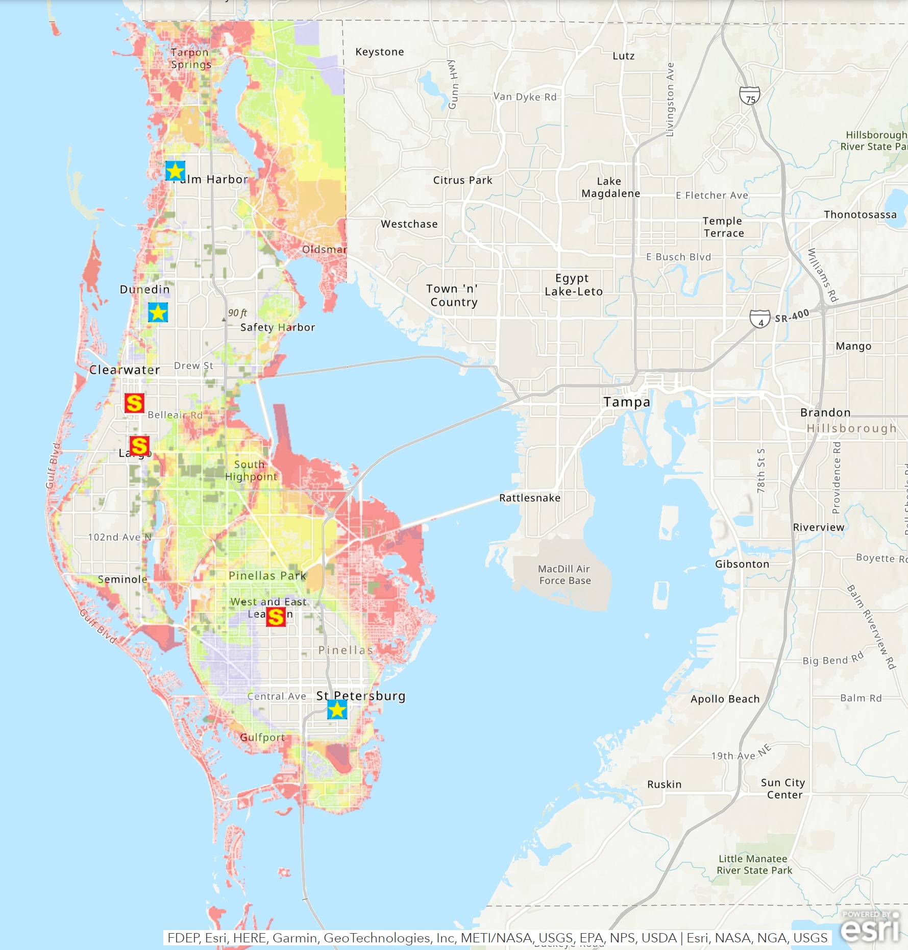
There’s trouble brewing in the Gulf of Mexico: a monster storm system that’s 500 miles wide and at this point just about certain to make landfall in Florida. The trouble with the large natural harbor and shallow estuary that is called Tampa Bay, is that water being pushed into it, has nowhere to go. So the storm surge level could reach up to 10 feet in some places.
So that’s it: astronomical summer here in the North is over.
It turned out to be the driest one ever recorded at the Sea-Tac rain gauge.
Only 0.5 in. of rain fell for all of summer (usually more than 3 inches).
Rainfall is still well above normal for the calendar year, though.