
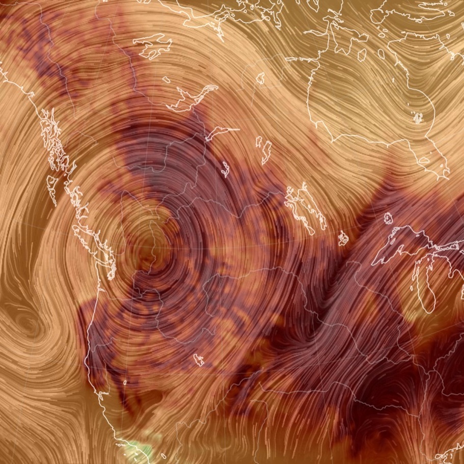
[Image generated with earth.nullschool.net]
On Monday, Portland, Ore., soared to at least 115 degrees (46 °C), the highest temperature in more than 80 years of record-keeping. It marked the third straight day the city had climbed to an all-time high. On Sunday, it hit 112 (44 °C) Sunday after reaching 108 (42 °C) Saturday, both of which broke the previous all-time record of 107 (41.6 °C) .
Seattle was up to at least 107 degrees (41.6 °C) on Monday afternoon, surpassing the all-time record of 104 degrees (40 °C) set Sunday, which had topped the previous mark of 103 (39.4 °C)’.
– Jason Samenow and Ian Livingston, reporting for the online Washington Post on June 28, 2021 at 5:50 p.m. PDT